 Kayaker

|


|
Download printer-friendly
PDF version that fits in one page: |

|
|
Other resources:
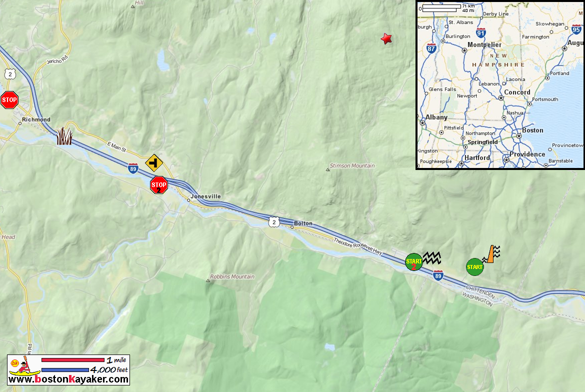
Friends of the Winooski Friends of the Winooski: Paddling Guide (16mb pdf), see pages 20 to 21 Friends of the Winooski: Paddling Guide (cached copy) All photos in this website are original and copyrighted. Difficulty: Intermediate (if putting in at Bolton Dam); Easy (if you put in further downstream) Description: This stretch of river continues to pass through the Green Mountains. There are a number of spots to take a break for a swim or to fish. About 1 mile upstream of Richmond, you will pass the a rare intact floodplain forest owned by the Richmond Land Trust. Rapids/Obstacles: About � of a mile downstream from Bolton Dam is a rapid that ends just past the railroad trestle. This rapid can be difficult especially in high water. You can pull over on the left bank above the rapid to scout it. If you choose not to paddle it, you can carry your boat about 1500 feet to below the trestle. There is a foot path. Put Ins: Take Outs: 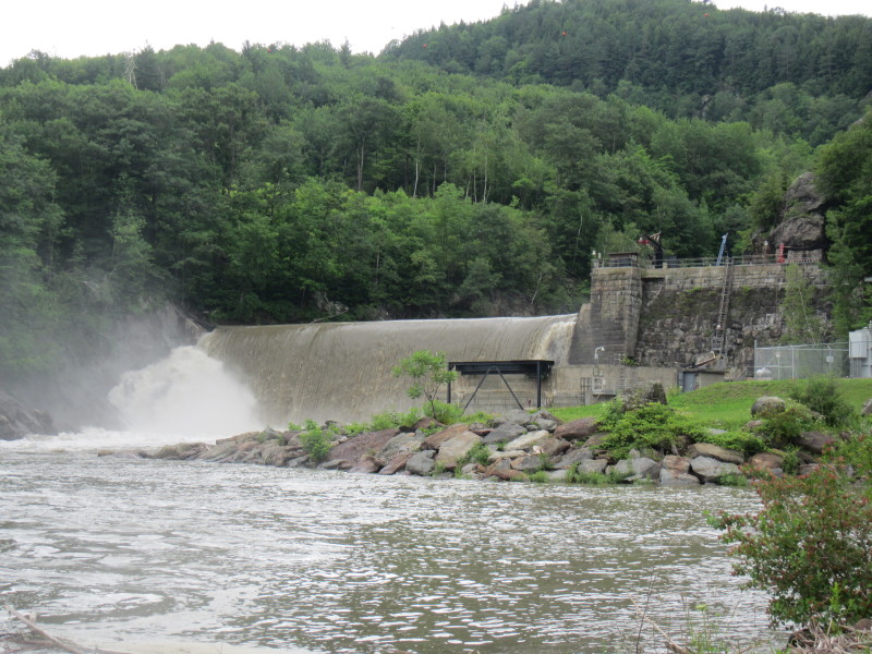
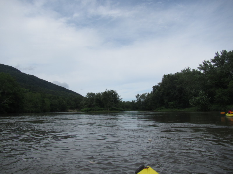
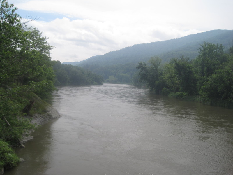
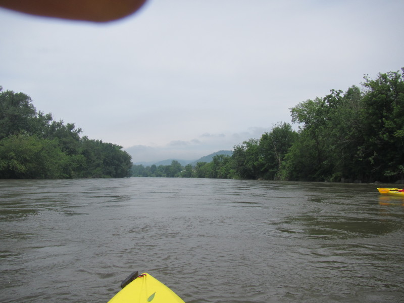
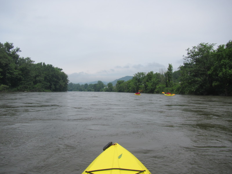
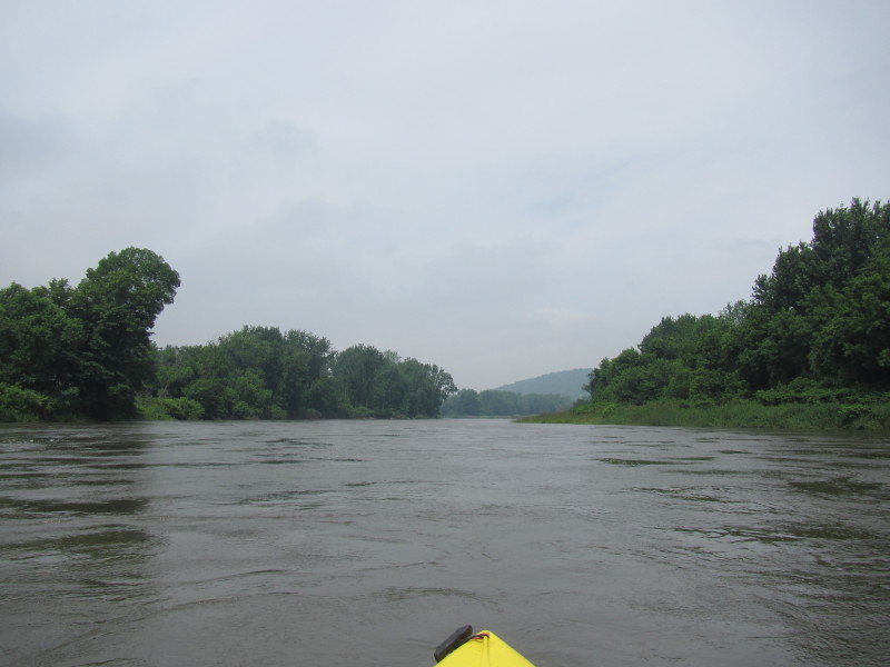
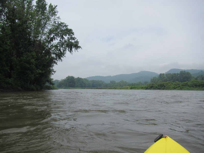
Trip date is July 2013. 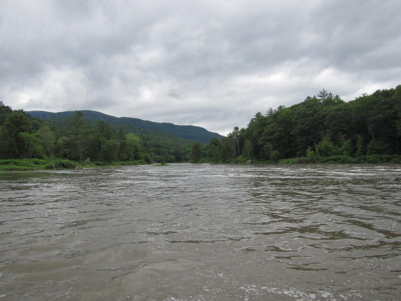 Looking downstream at Winooski River from the Bolton Dam launch.
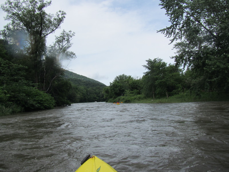
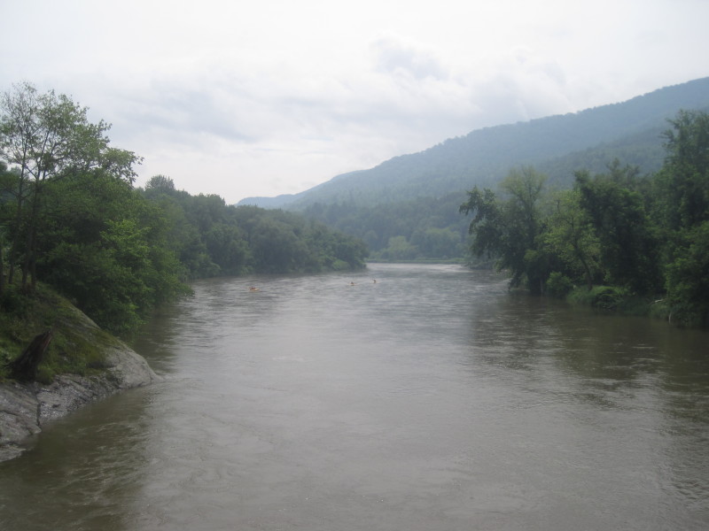
 The rapids at the trestle looking from River Road. We skipped those rapids by putting
in farther west at River Road below these rapids.
The rapids at the trestle looking from River Road. We skipped those rapids by putting
in farther west at River Road below these rapids.
 At the informal put in below trestle on River Road.
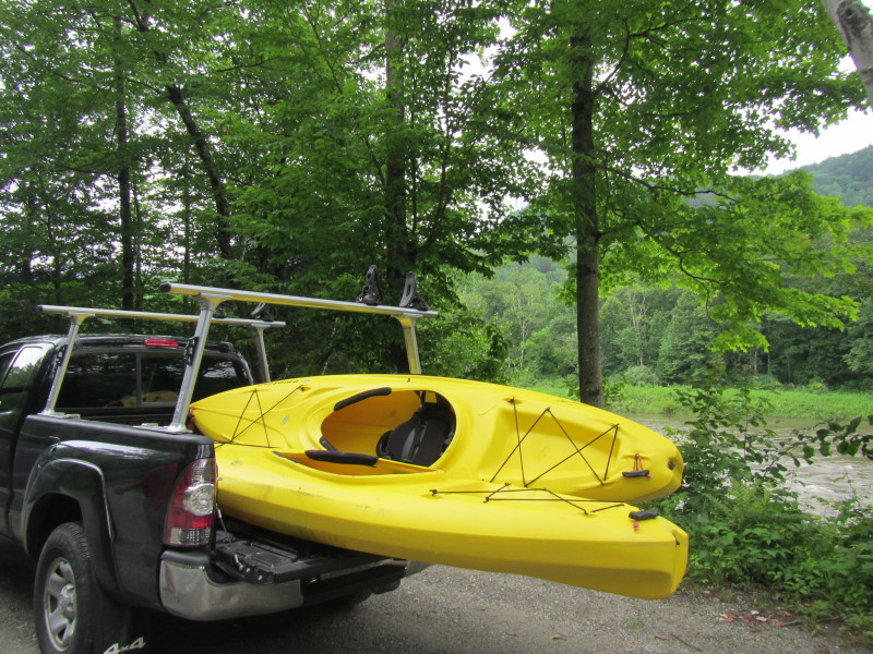
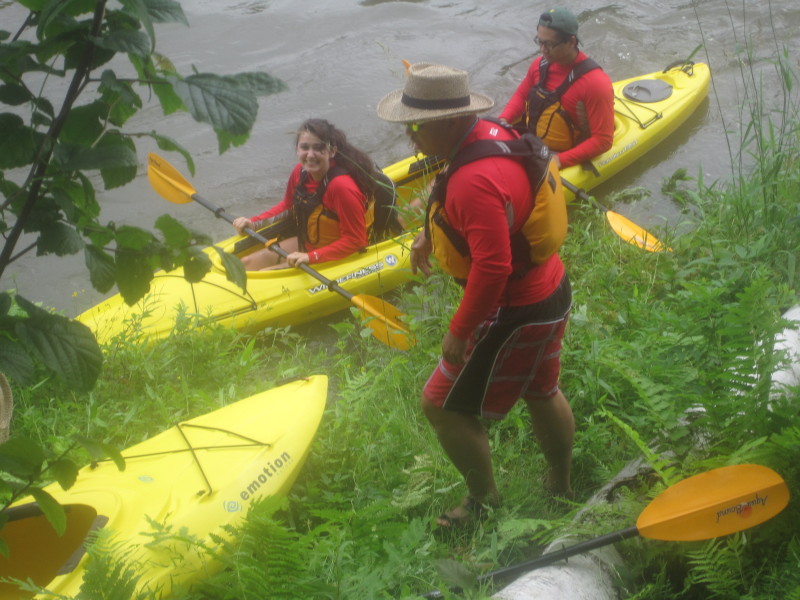
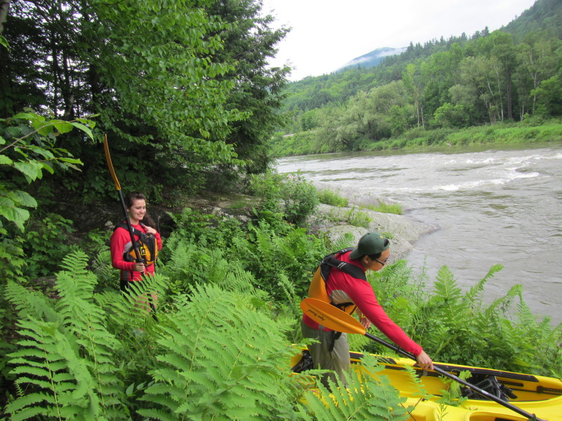 Getting ready to launch on Winooski River from the road side on River Road in Waterbury VT.
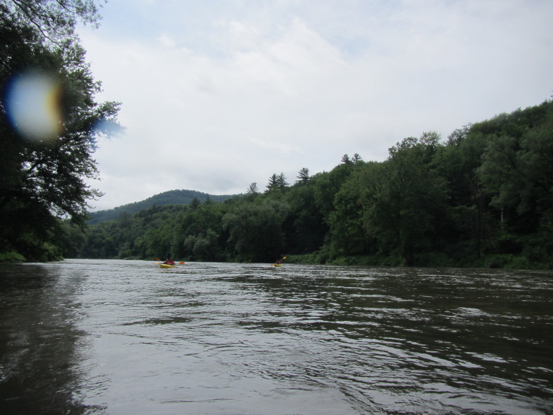
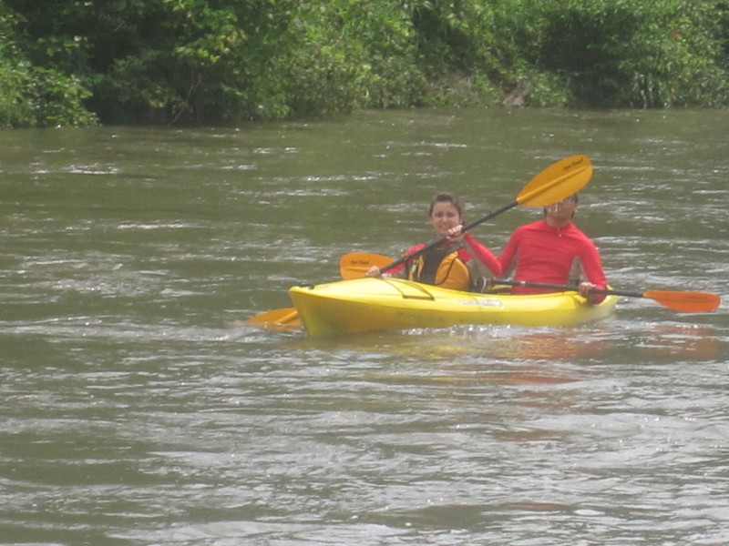
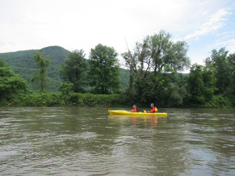
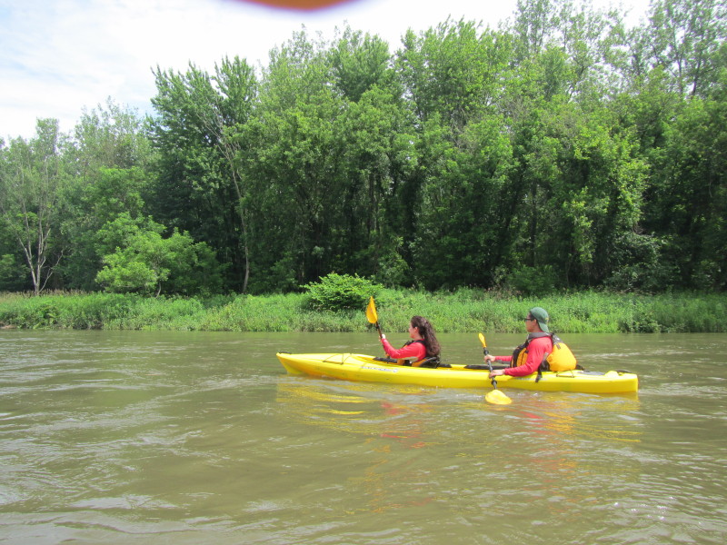
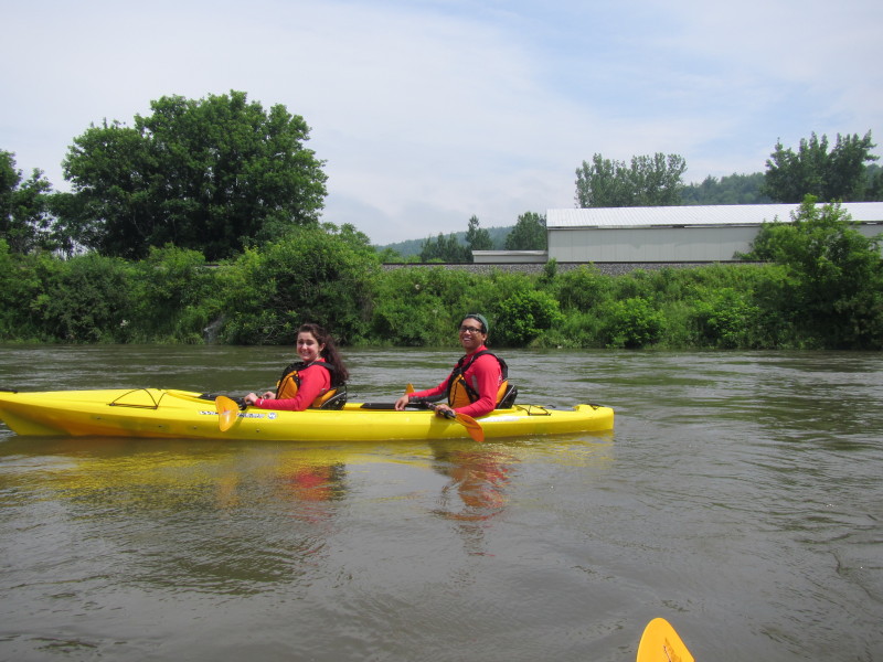
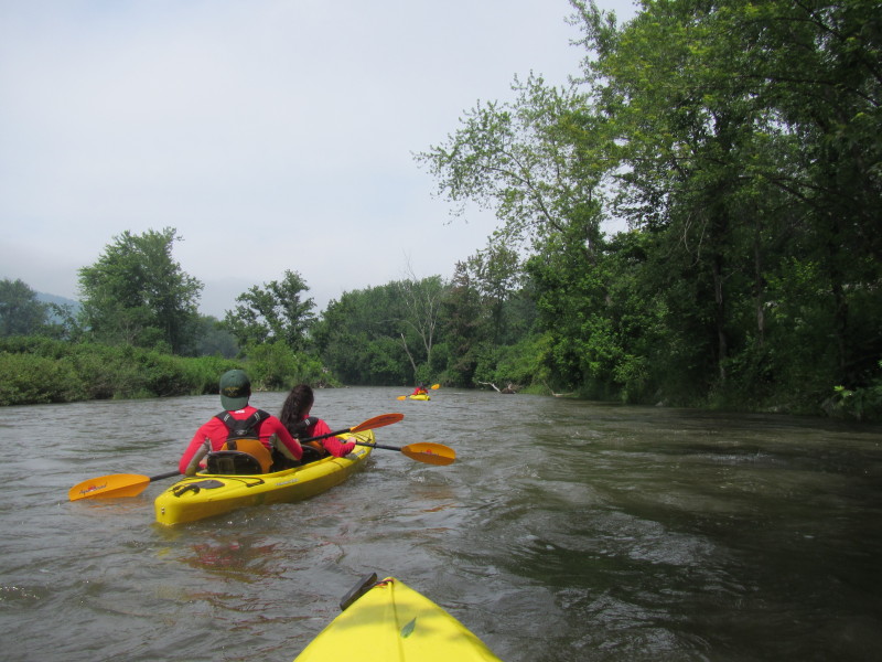
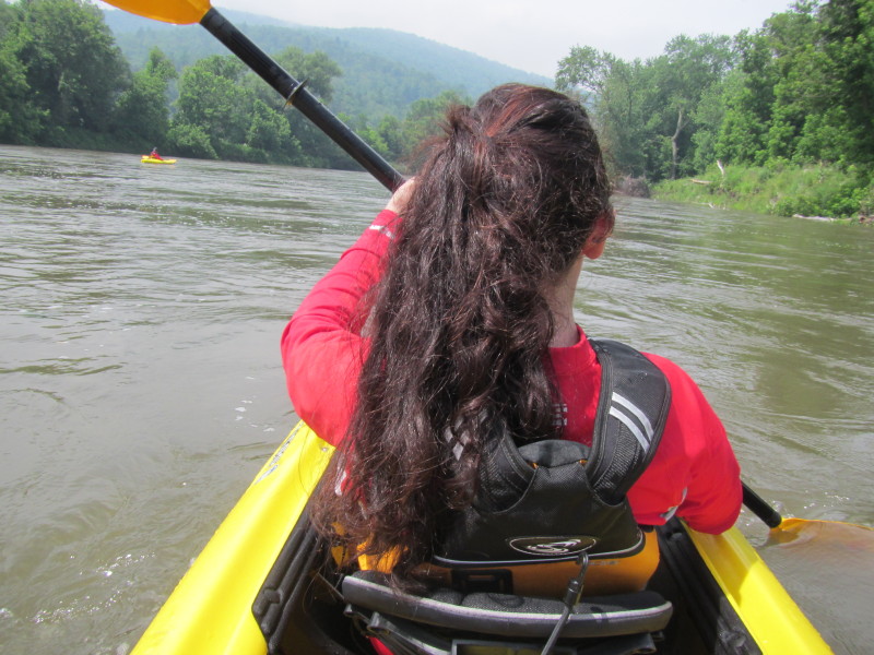
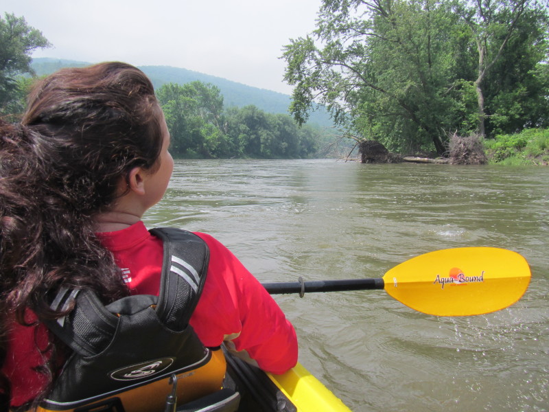
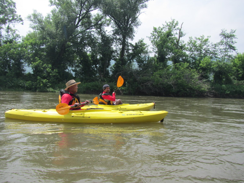
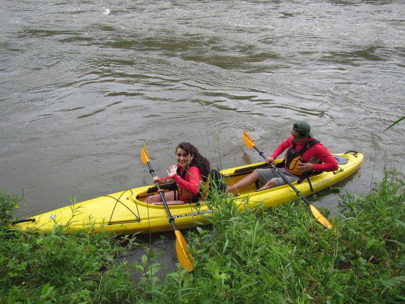 The Boston Kayaker's son and girlfriend.
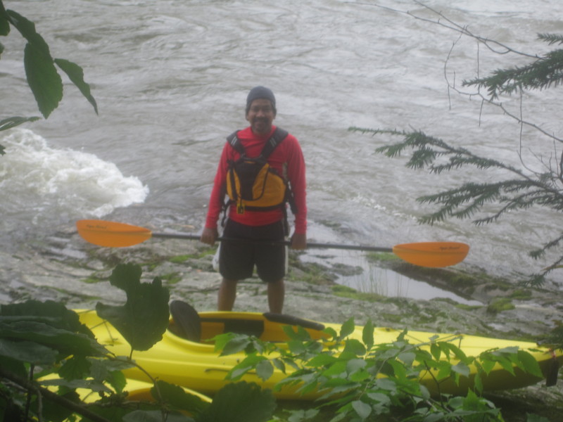
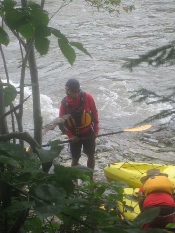
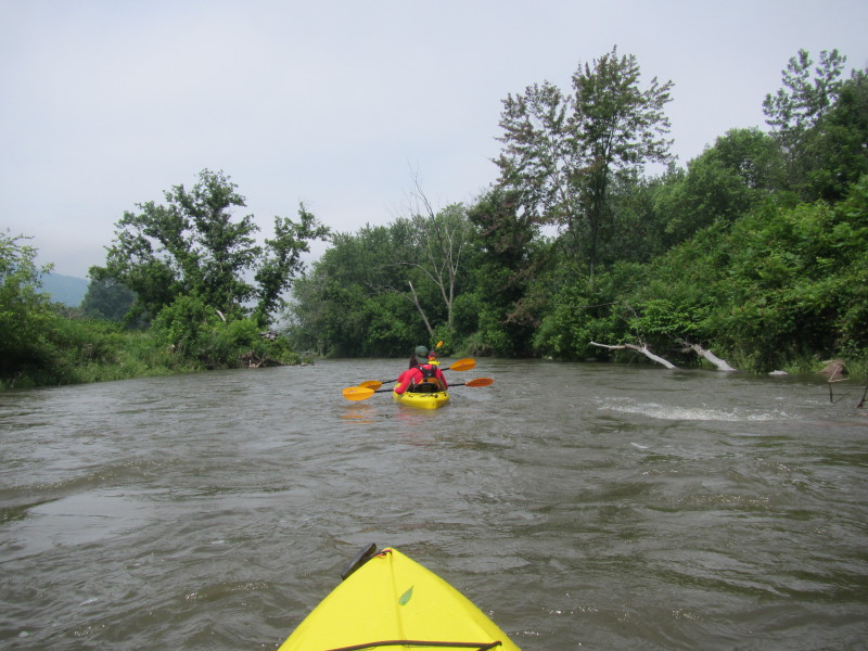
 The Boston Kayaker's brother-in-law.
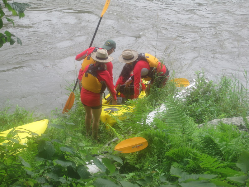
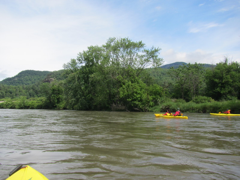
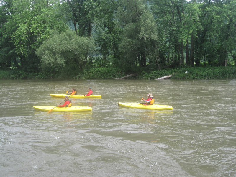
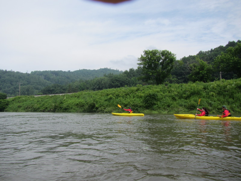
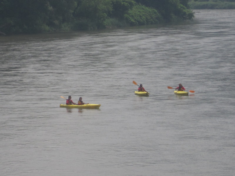
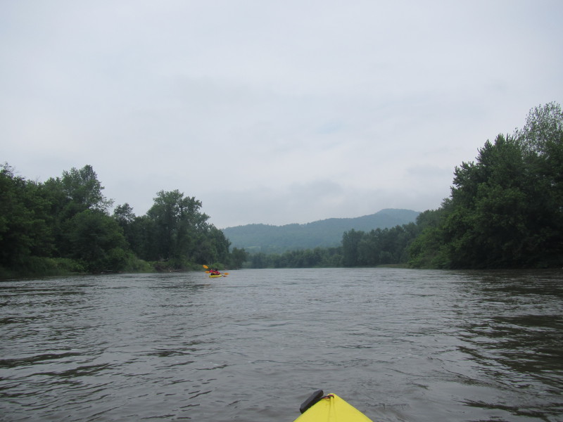
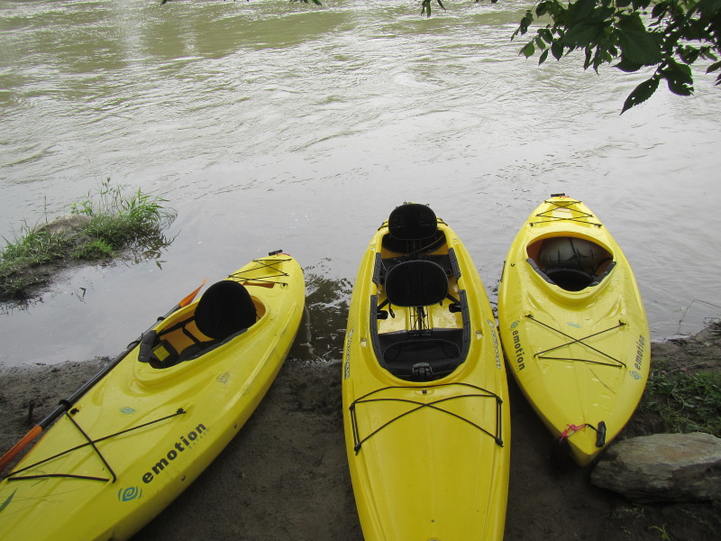
 Two kayaks now launched and waiting on the cove of the Winooski River.
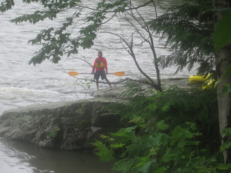
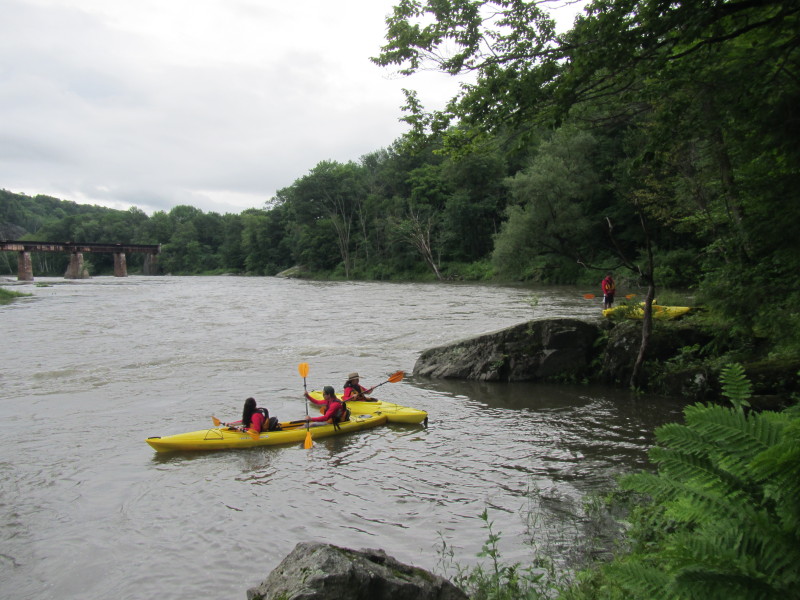
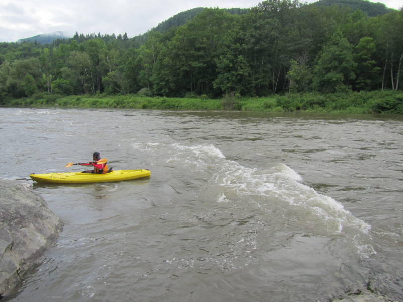
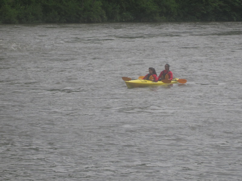
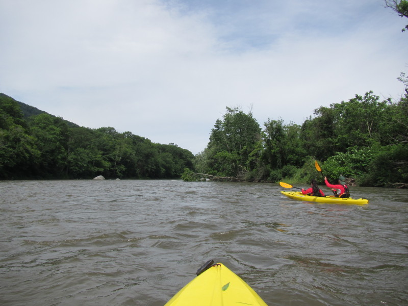
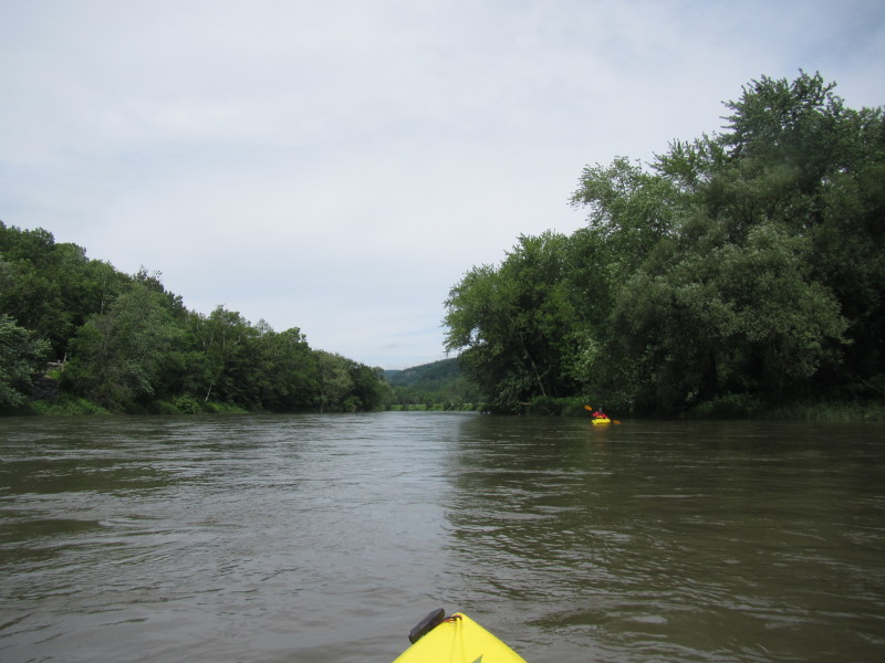
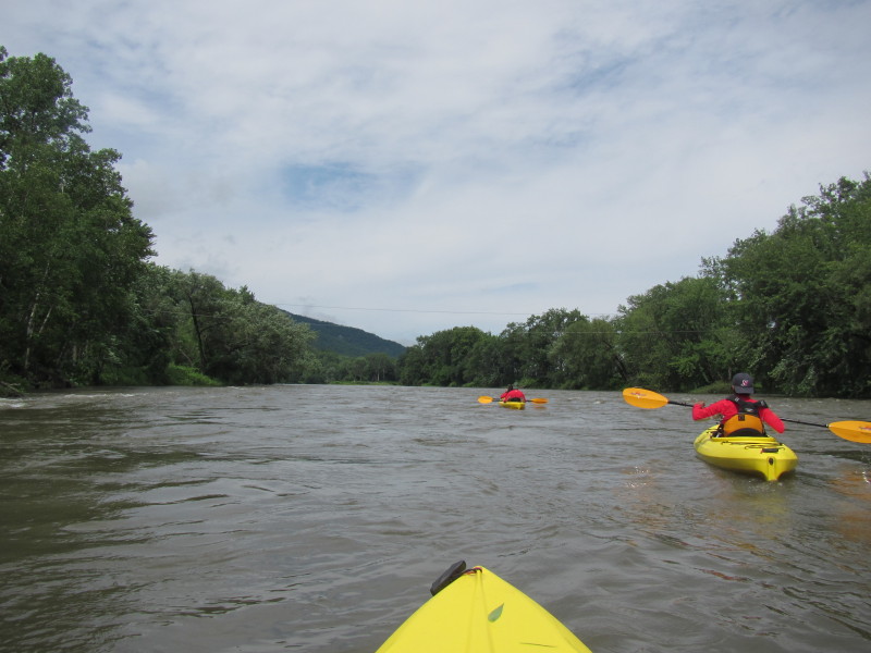
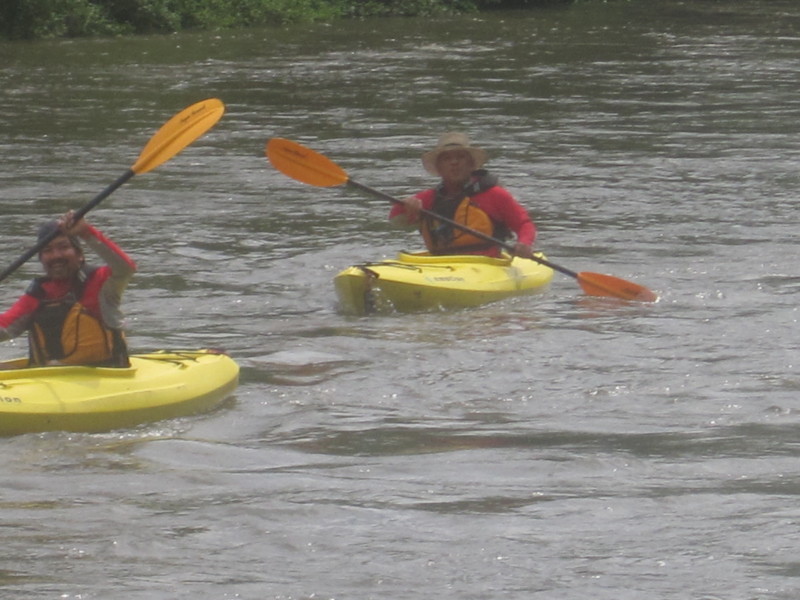
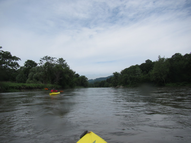
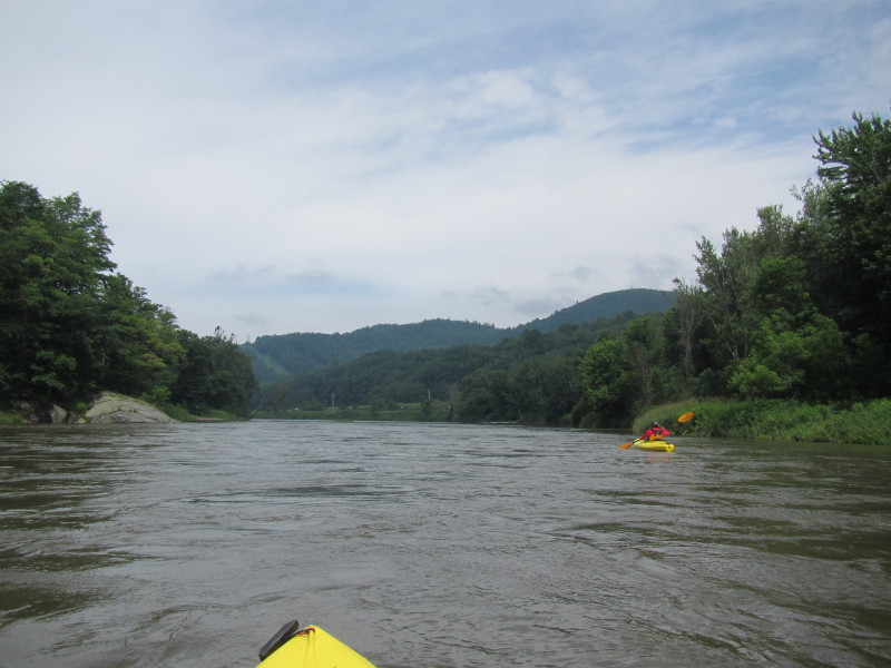
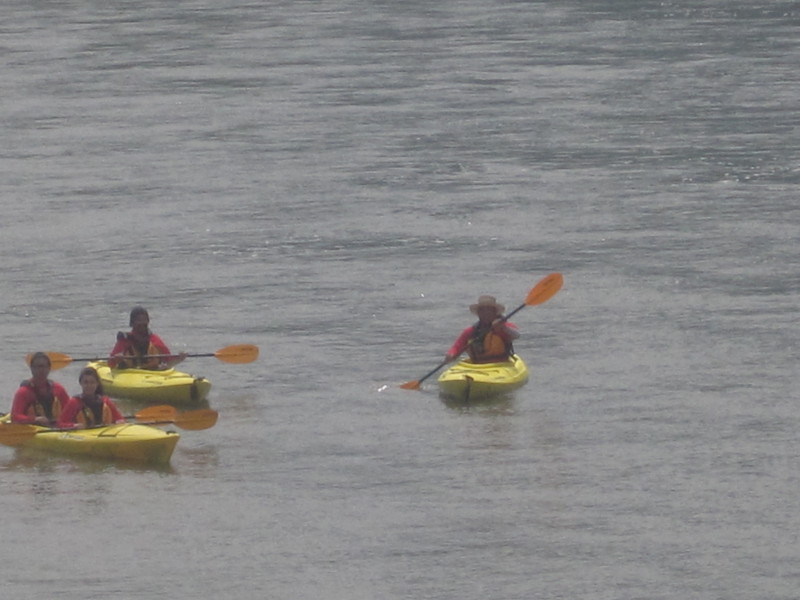
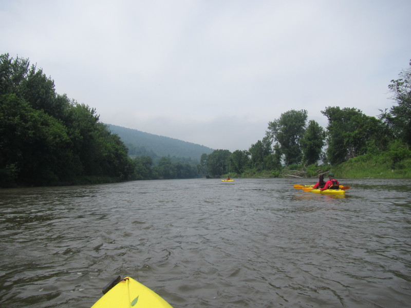
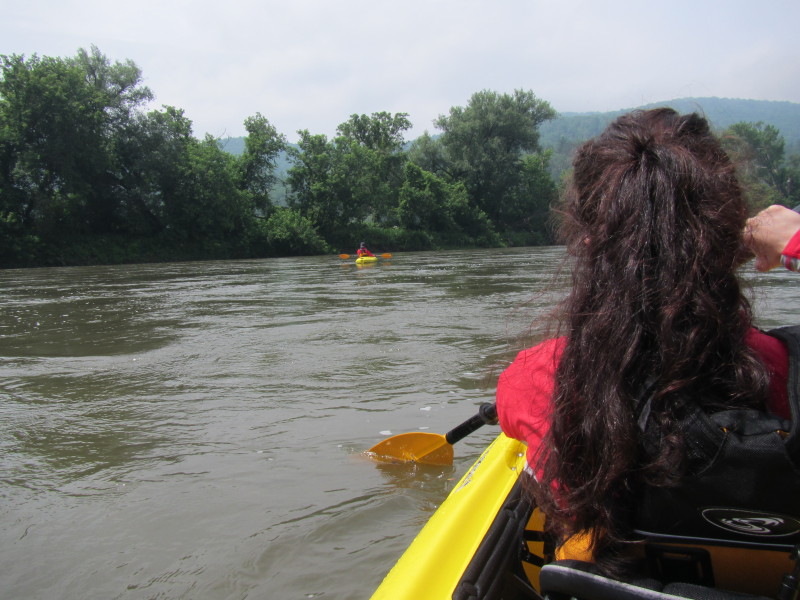
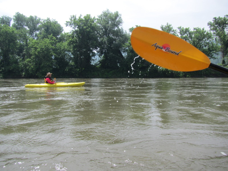
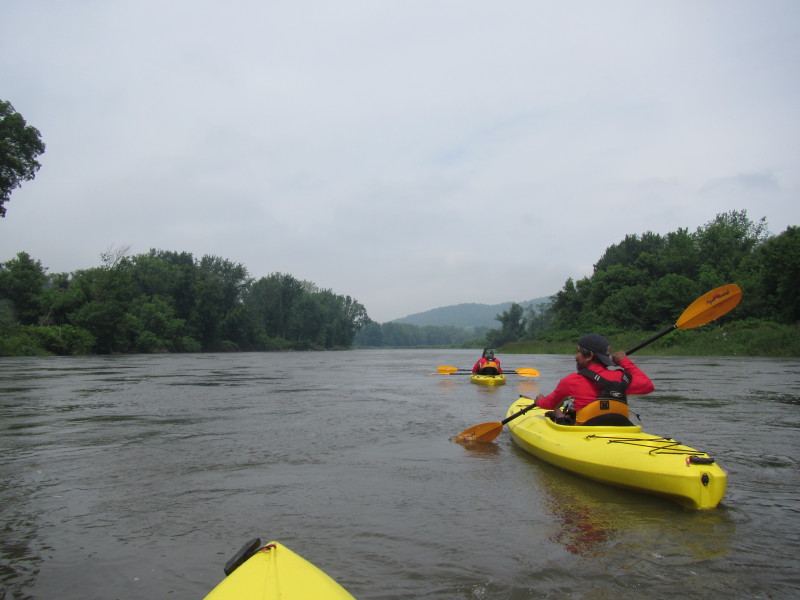
 The Boston Kayaker's brother-in-law positioned one rapids upriver.
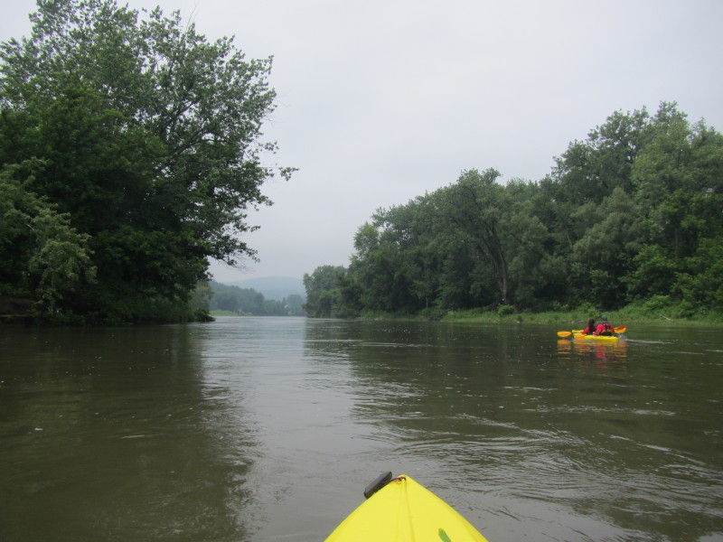
 Another kayak launched. I launched on my short kayak after this and fell out of the kayak.

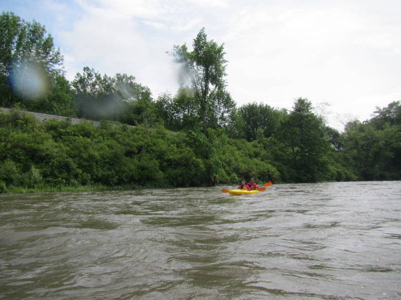
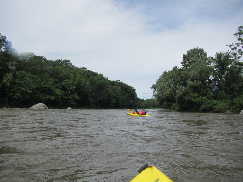
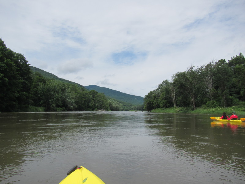
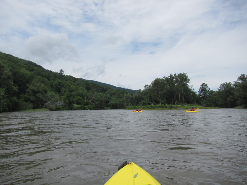
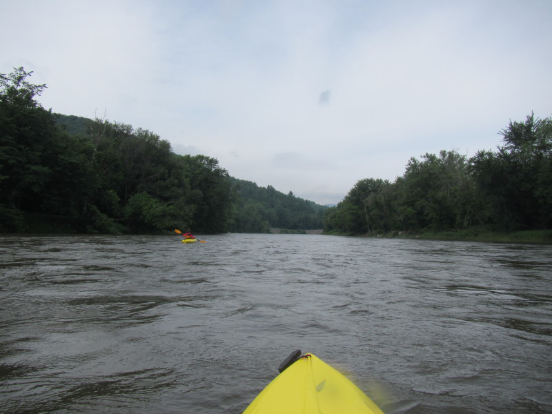
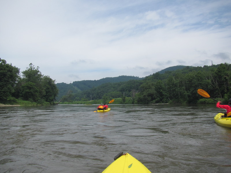
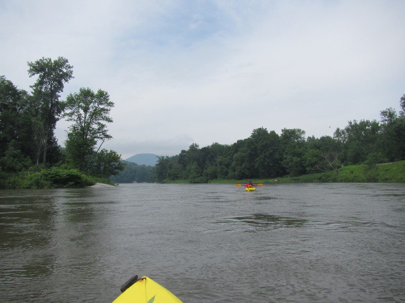
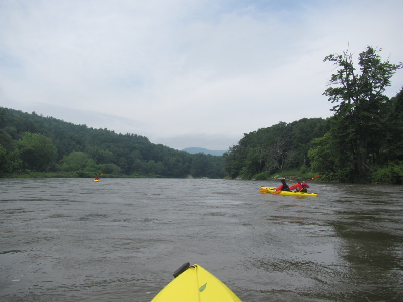
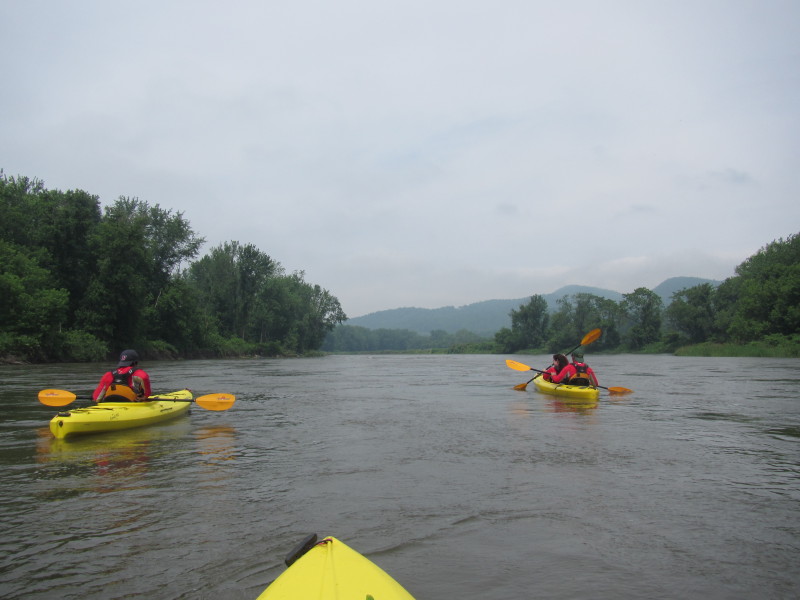
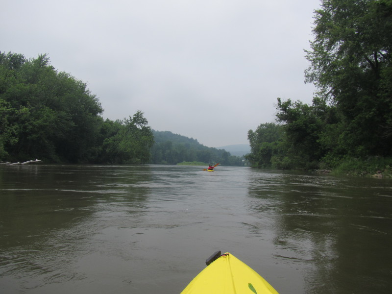
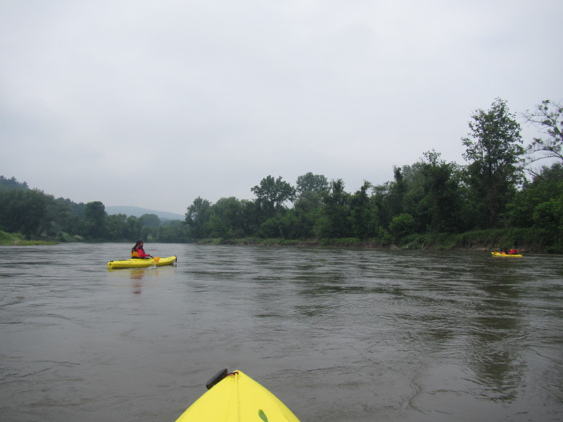
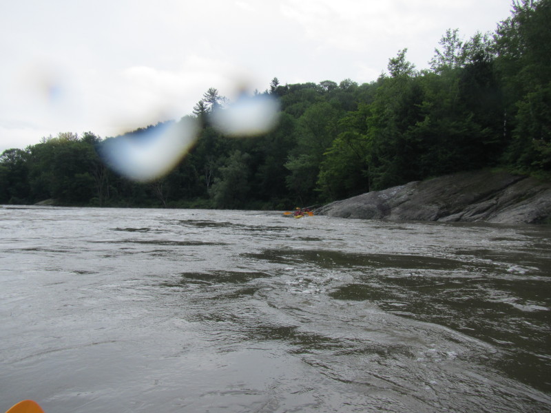 After recovering my capsized kayak and my wife giving up her paddle and kayak, we are on
to our paddling trip.
After recovering my capsized kayak and my wife giving up her paddle and kayak, we are on
to our paddling trip. Looking back after I got passed the rapids. 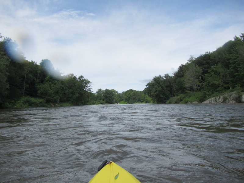

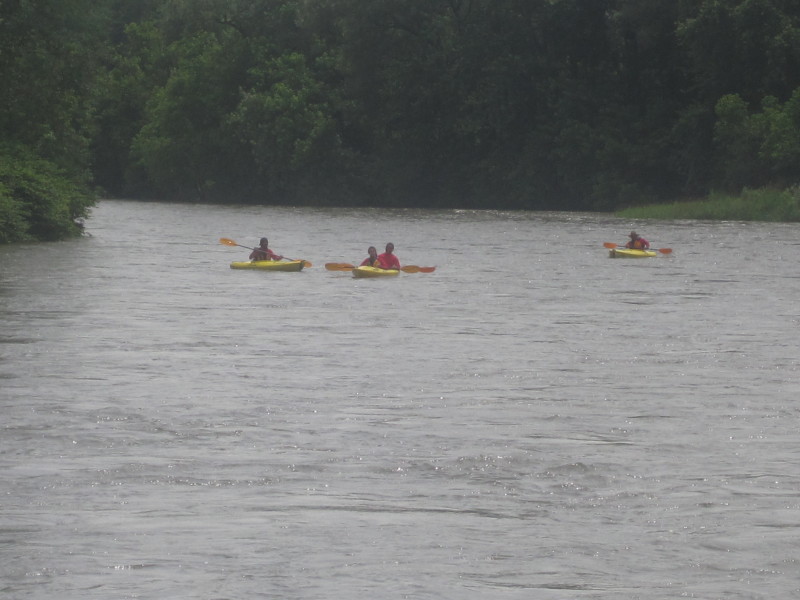
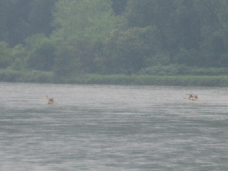
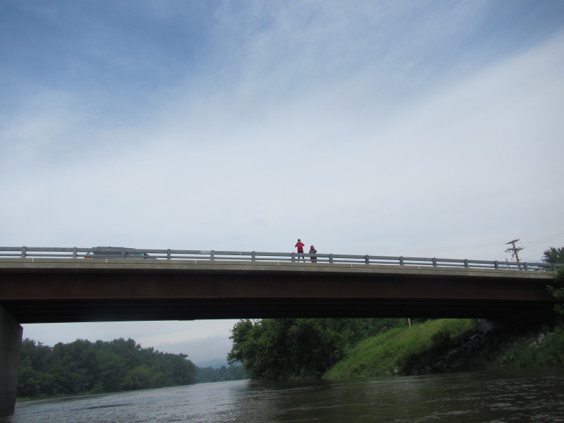
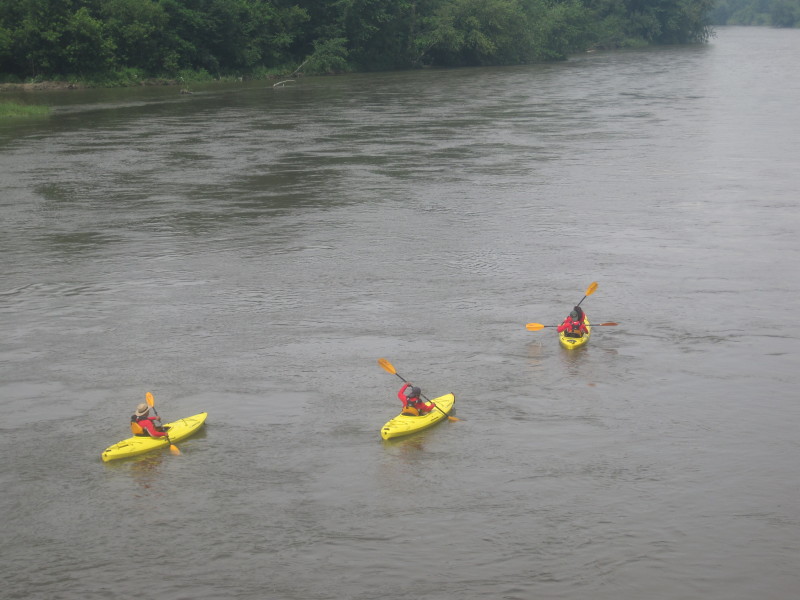
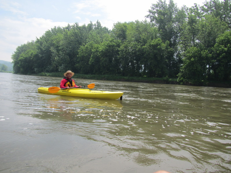
 At the Cochran Road bridge, the wife waits for the paddlers.
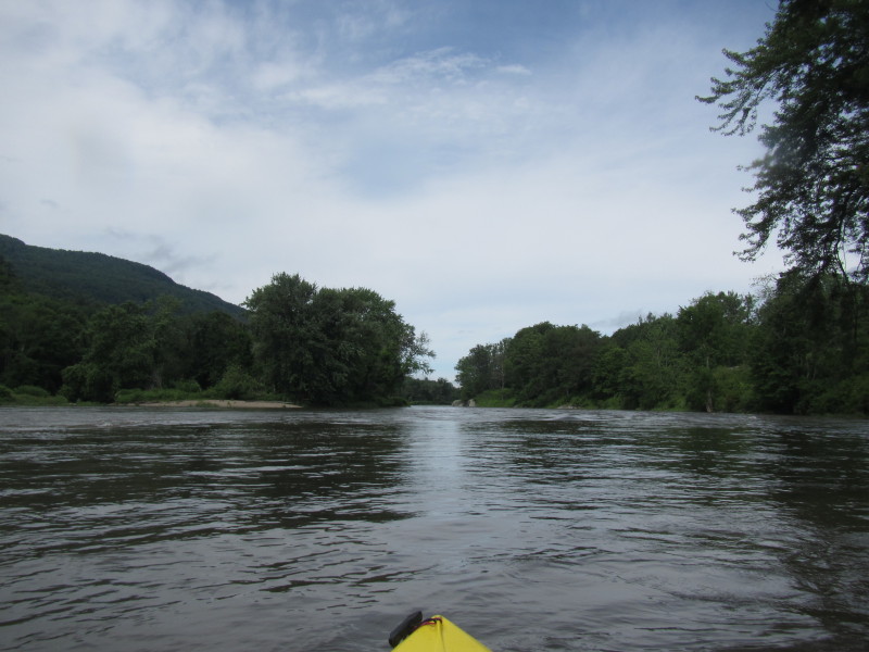
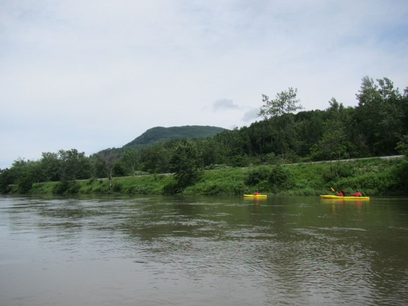
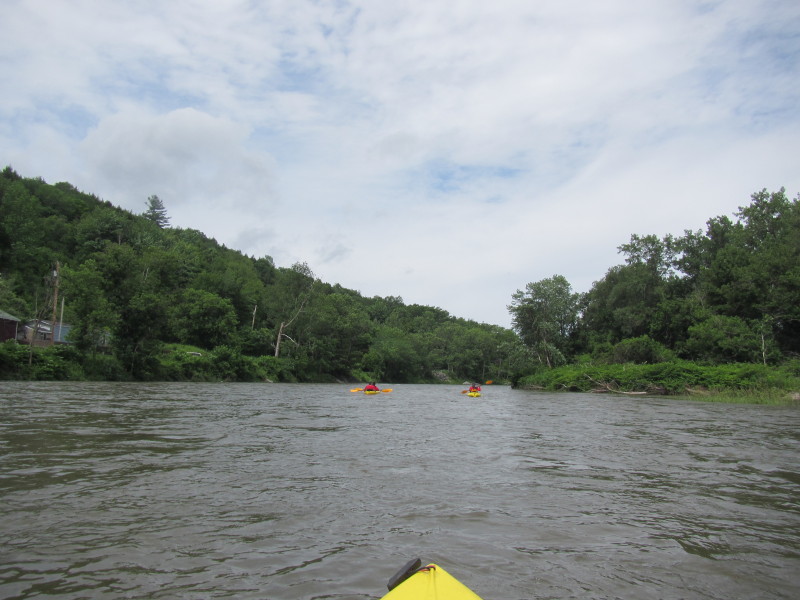
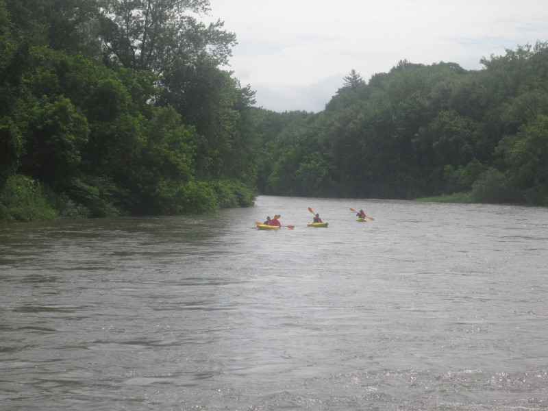
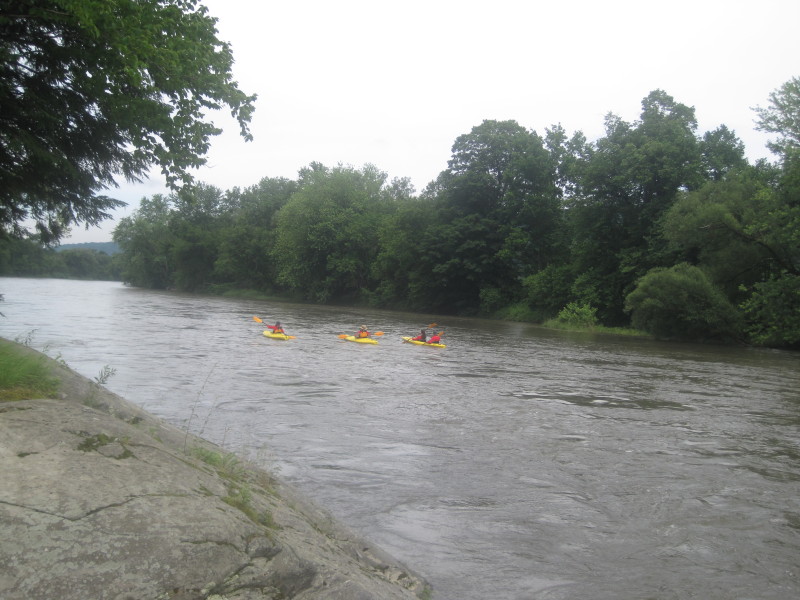
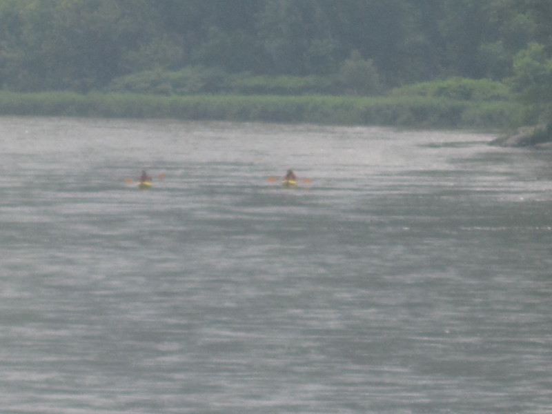
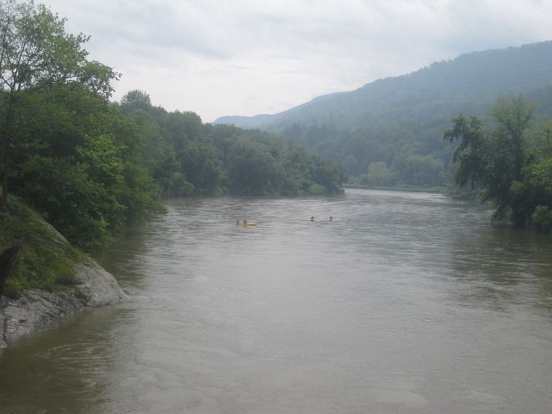
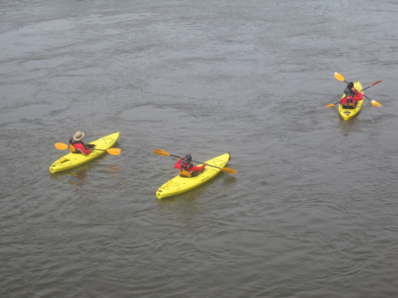
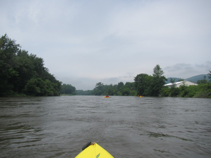
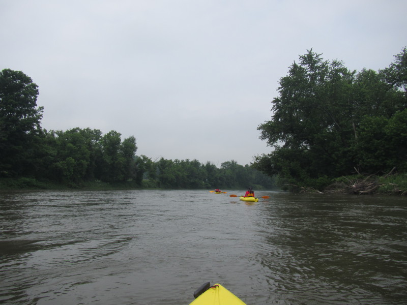
 Winooski River from the Cochran Road bridge.
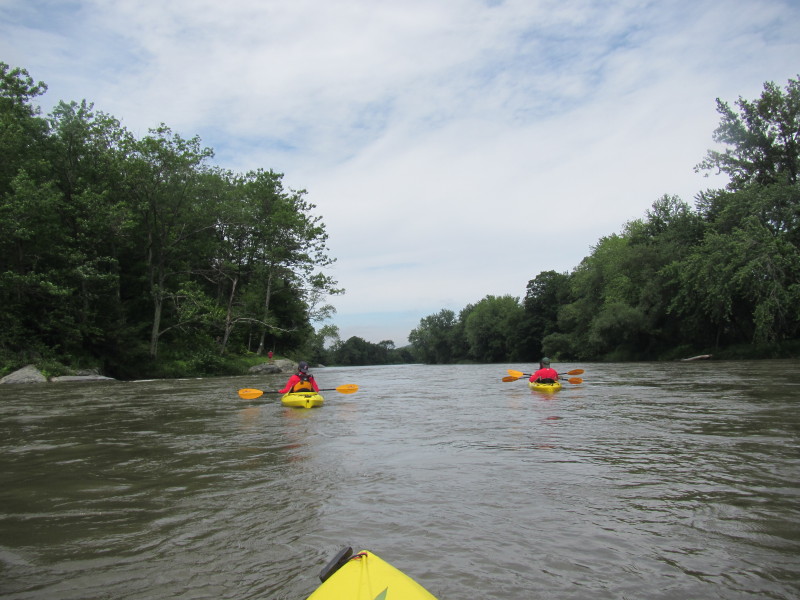
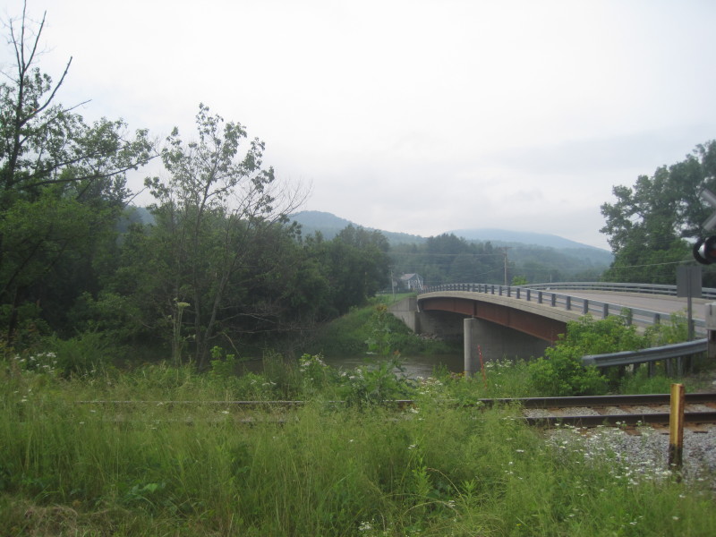
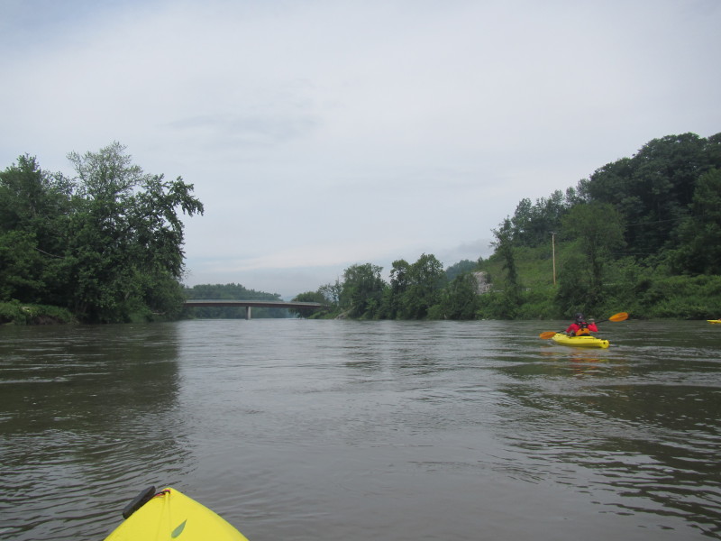
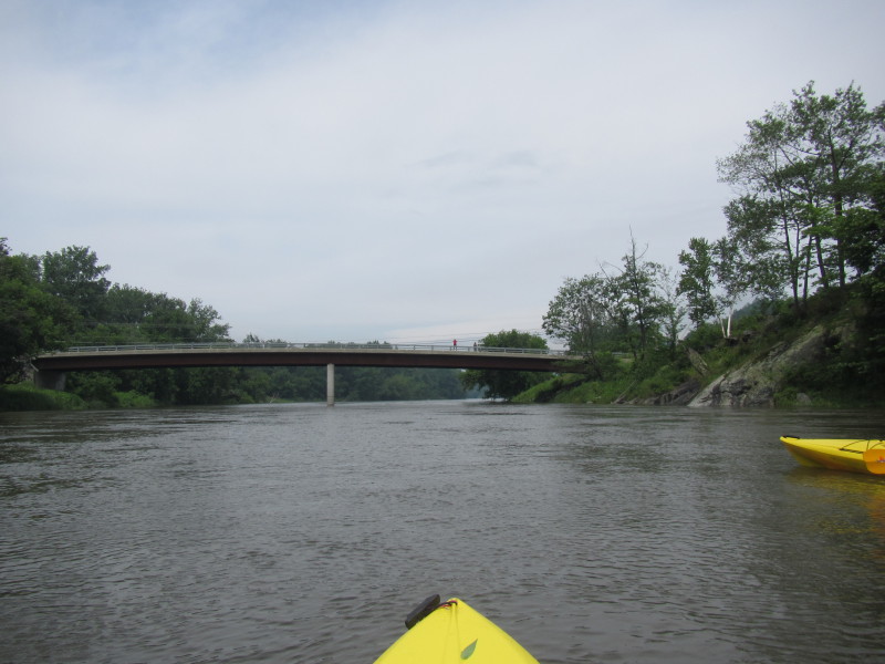
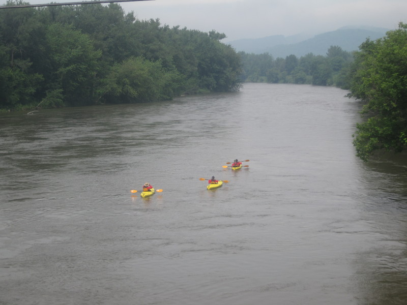
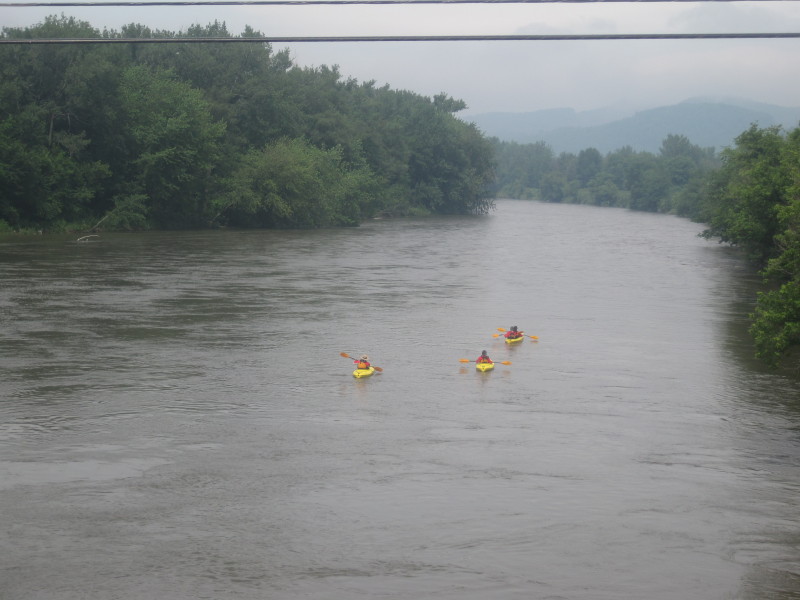
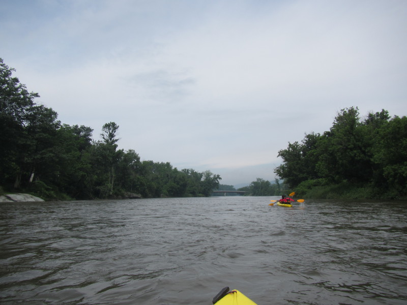 The Cochran Road bridge coming up.
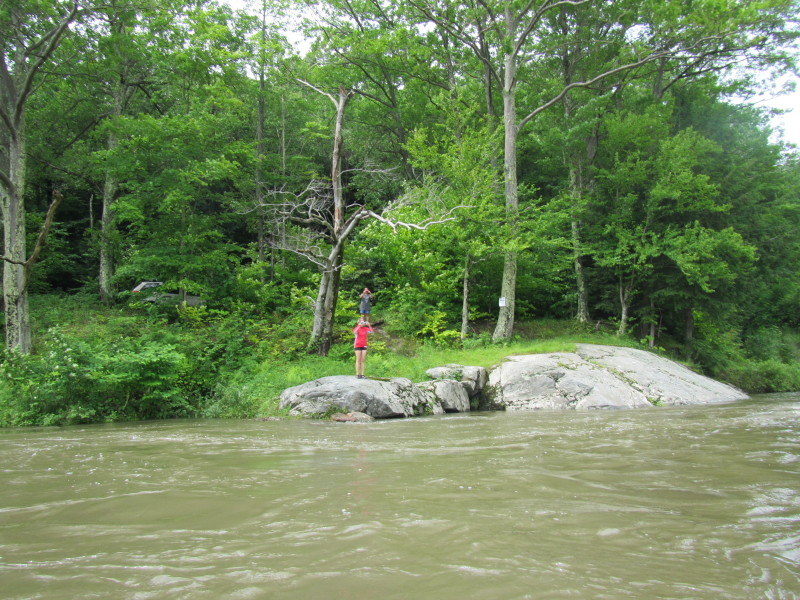
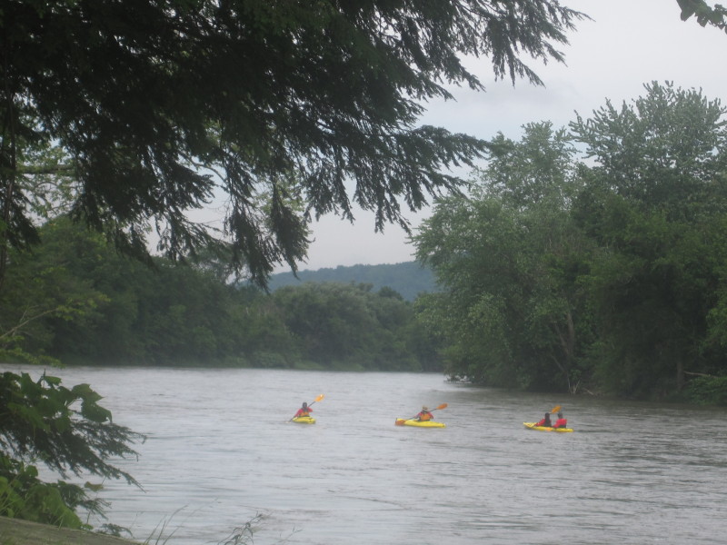
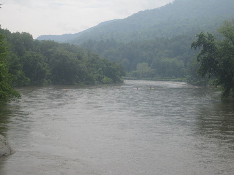
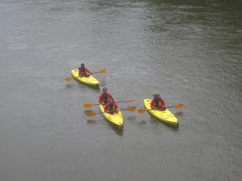
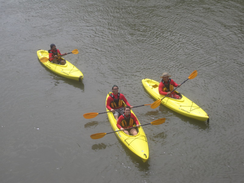
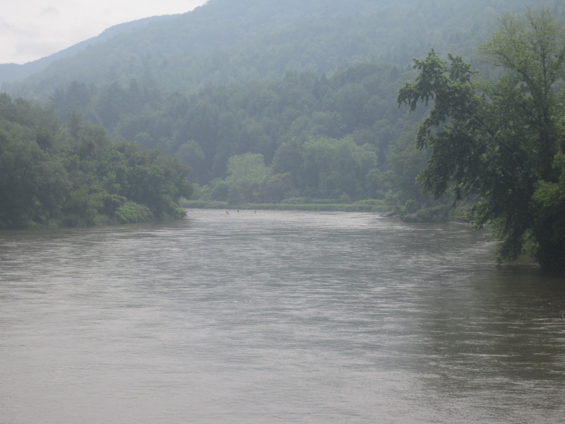 View from the Cochran Road bridge.
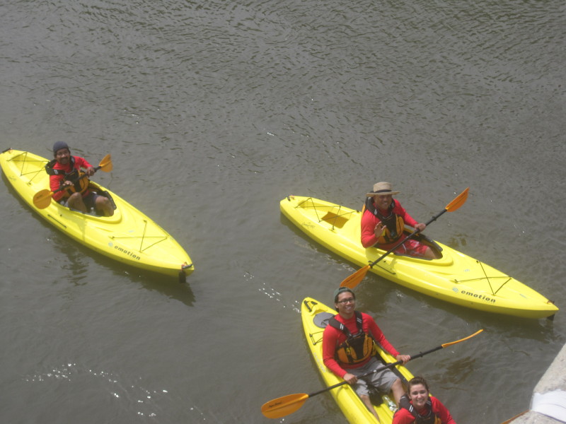
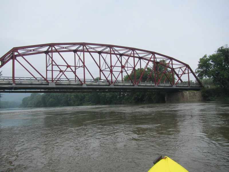
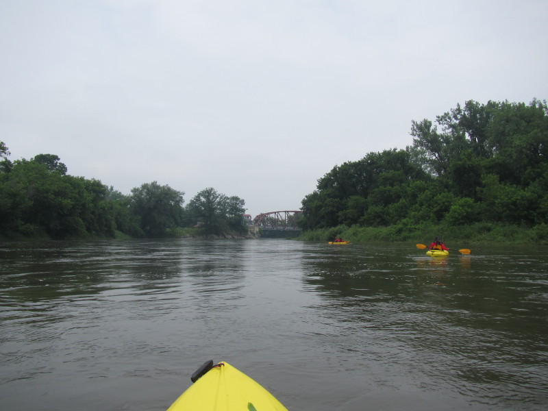 The Bridge Street bridge in Richmond VT.
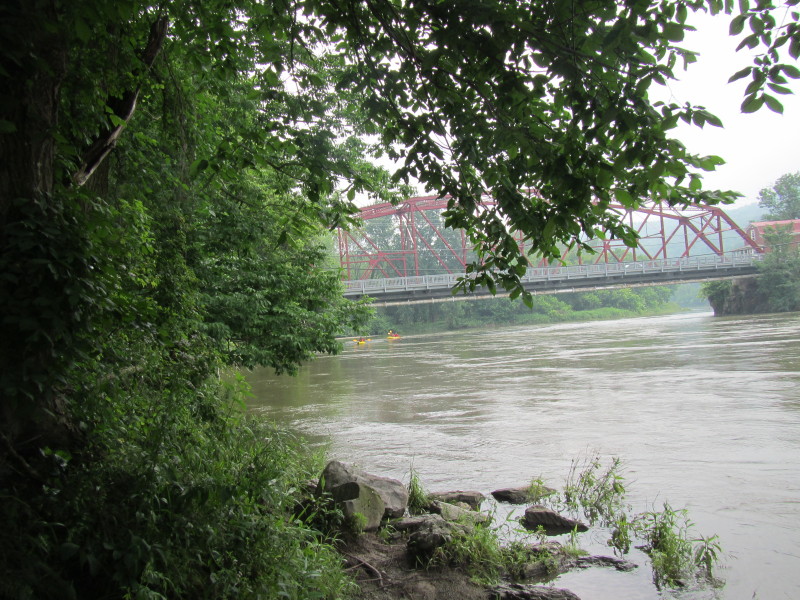
Take out is on river right after the bridge. 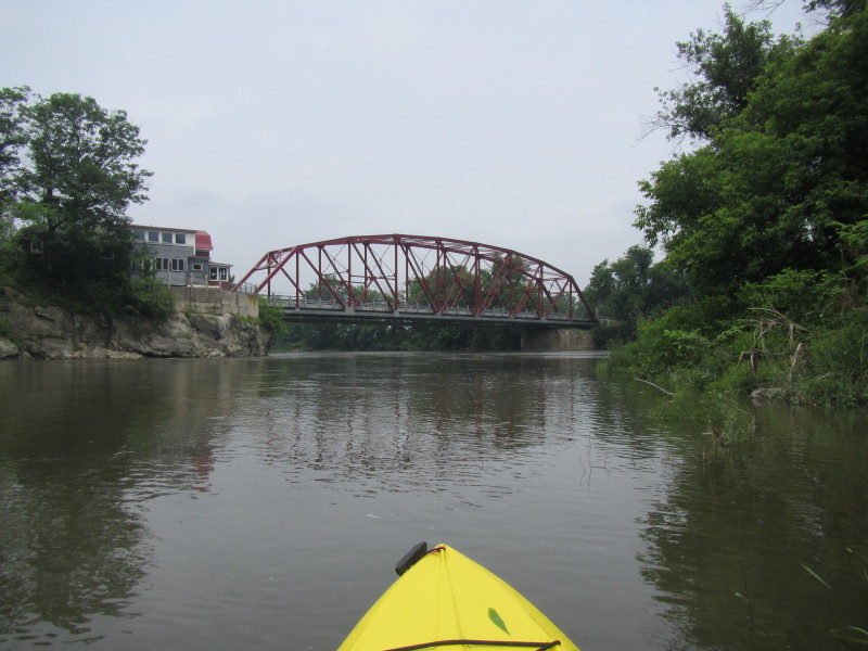
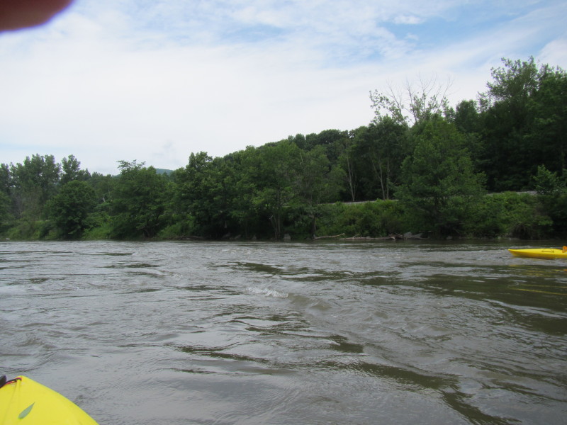
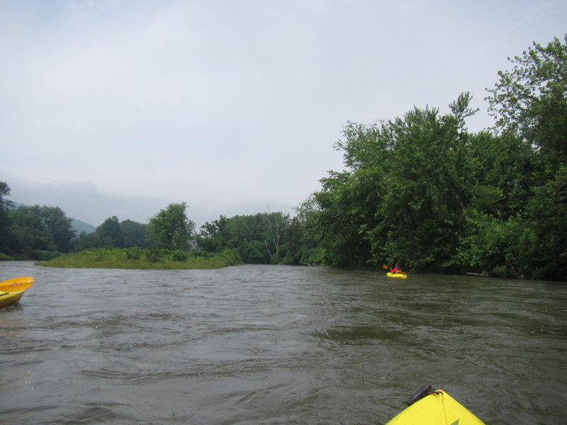
 Some fast flowing water on the on river left.
One will miss the take out at right if not positioned on river right at the bridge. 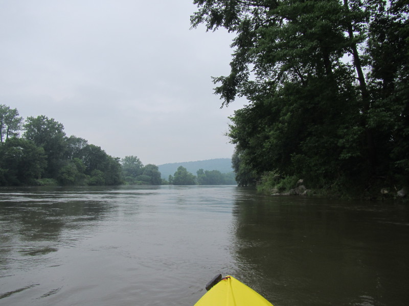 Take out is that patch of mud on the right after those rocks.
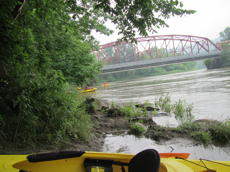
 The Boston Kayaker has landed. Waiting for the group to follow my lead.
|