 Kayaker

|


|
Download printer-friendly
PDF version that fits in one page: |

|
|
Other resources:
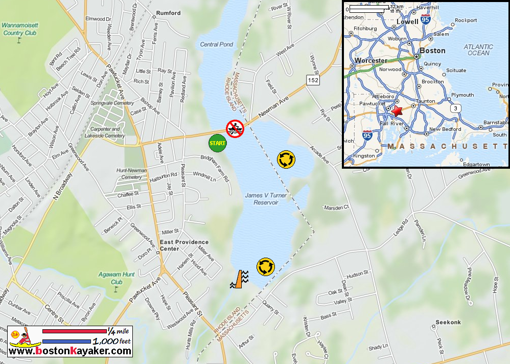
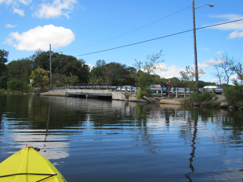
Ten Mile River Watershed Council Explore RI's Blueways and Greenways: Central Pond and Turner Pond Map and Paddling Guide (pdf) Explore RI's Blueways and Greenways: Central Pond and Turner Pond Map and Paddling Guide (cached copy) Explore RI's Blueways and Greenways: Newman Crossing All photos in this website are original and copyrighted. 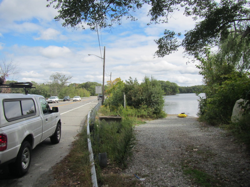 At the Turner Reservoir launch on Newman Avenue in Rumford RI.
Trip date is September 2013. 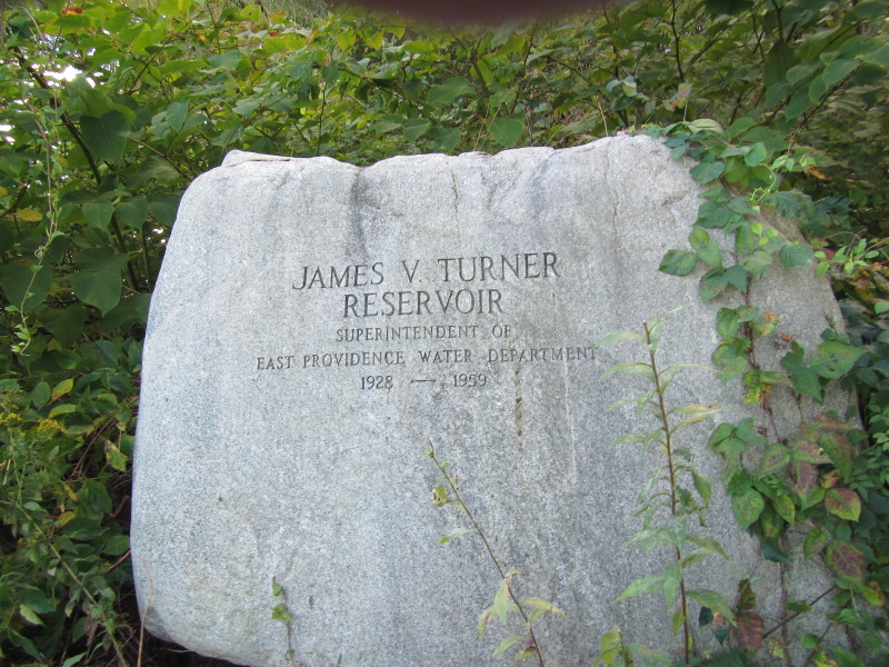
JAMES V. TURNER RESERVOIR Superintendent of East Providence Water Department 1928 - 1959 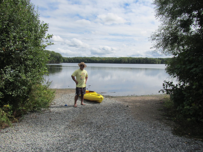 The Boston Kayaker on the put in to Turner Reservoir.
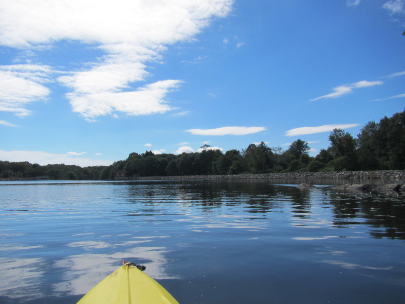
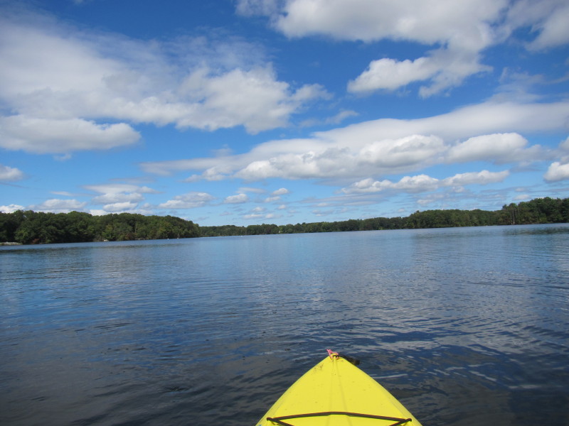
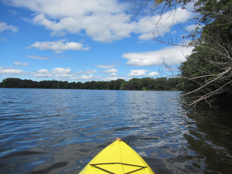
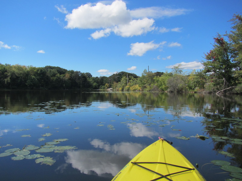
 Just launched on Turner Reservoir.
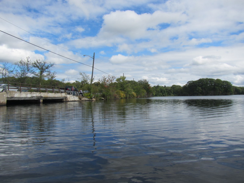 To my left are the fishermen on the Route 152 bridge.
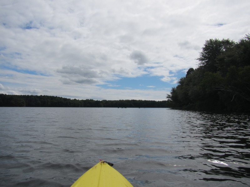
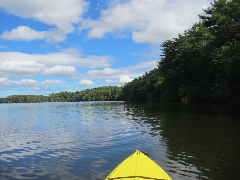
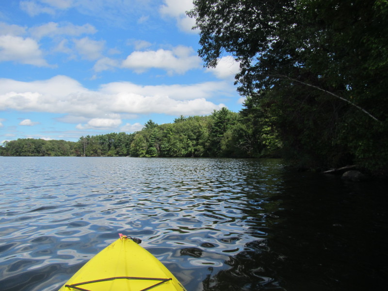
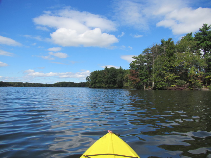
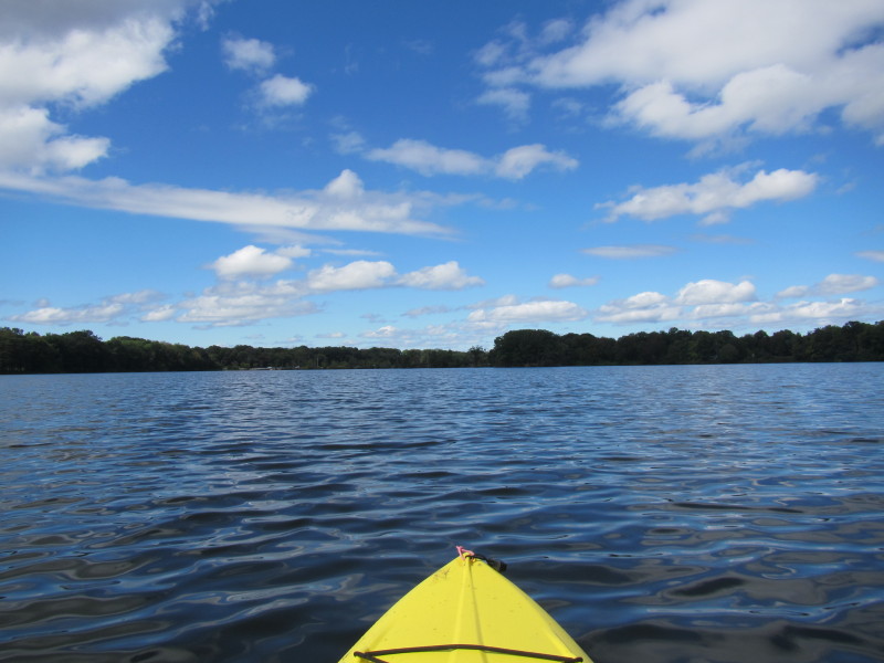
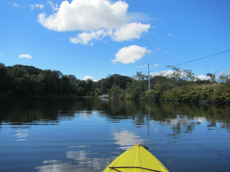
 Will paddle south on the west coast of the reservoir and do a counter-clockwise round trip.
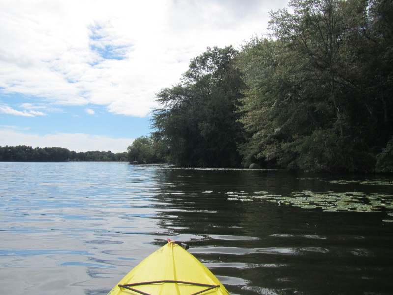
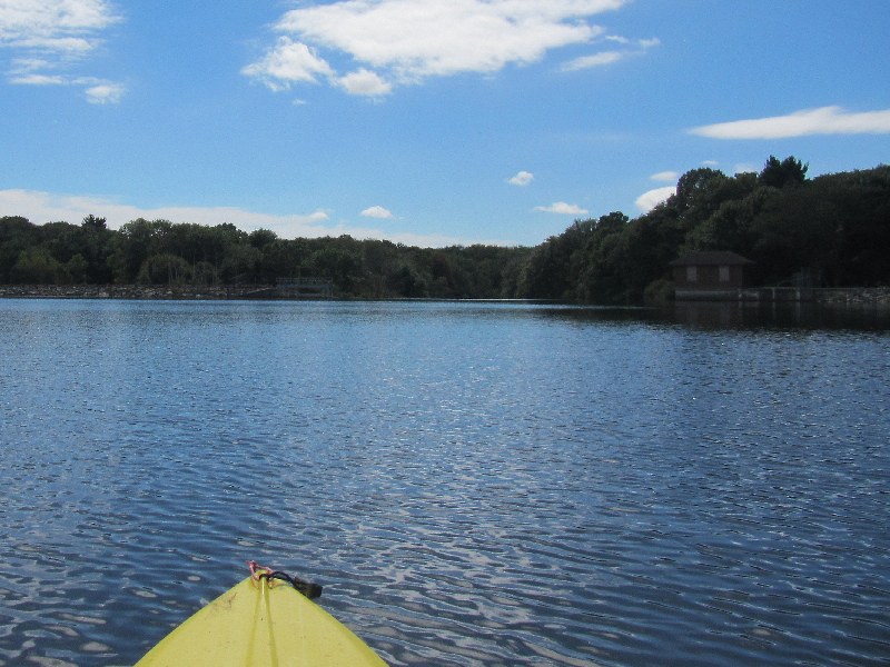
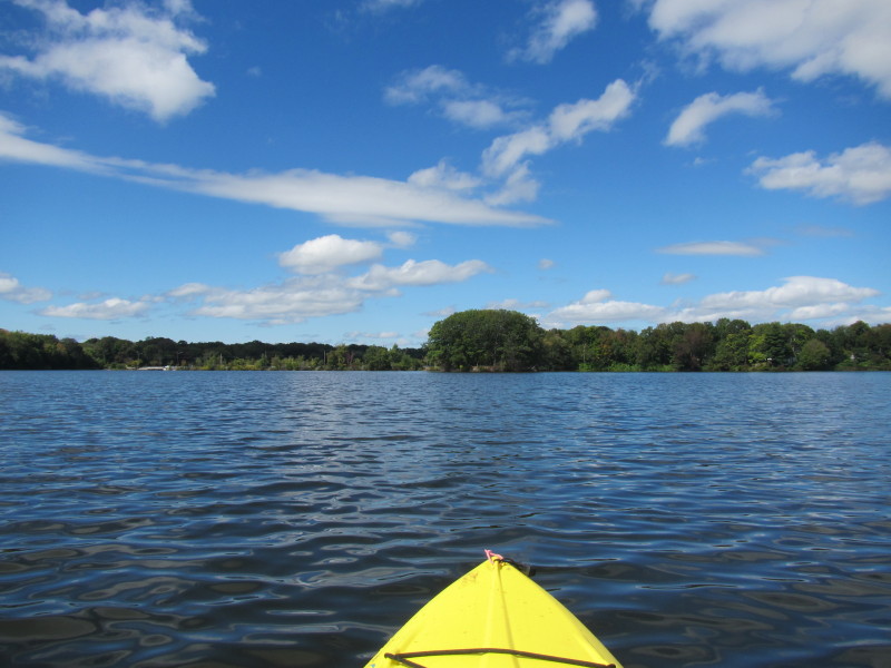
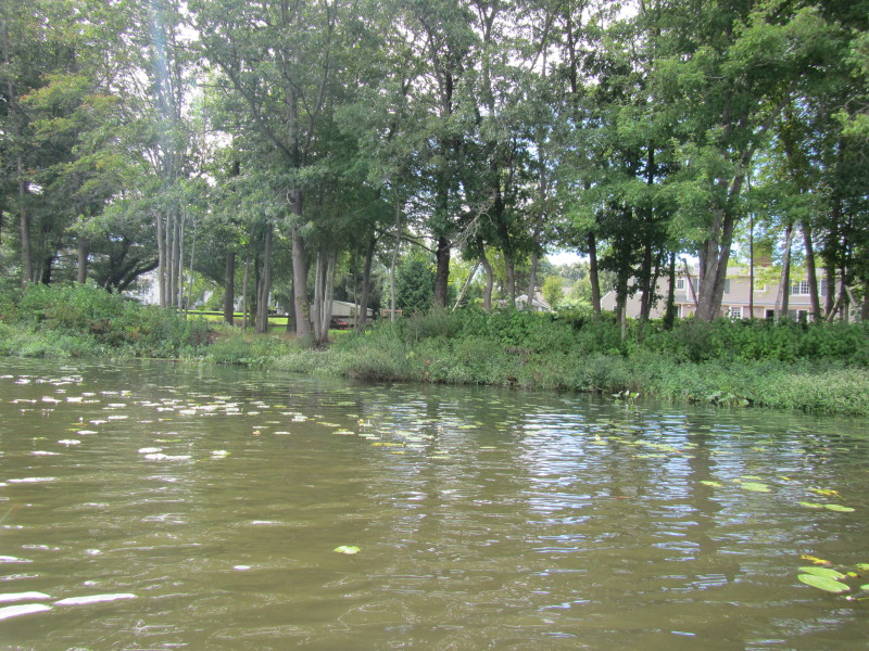 Residential houses fronting the reservoir.

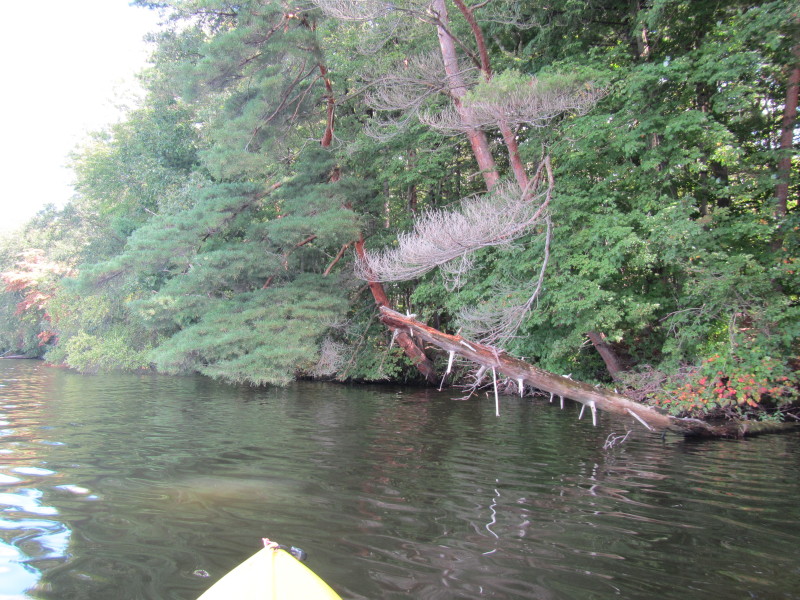
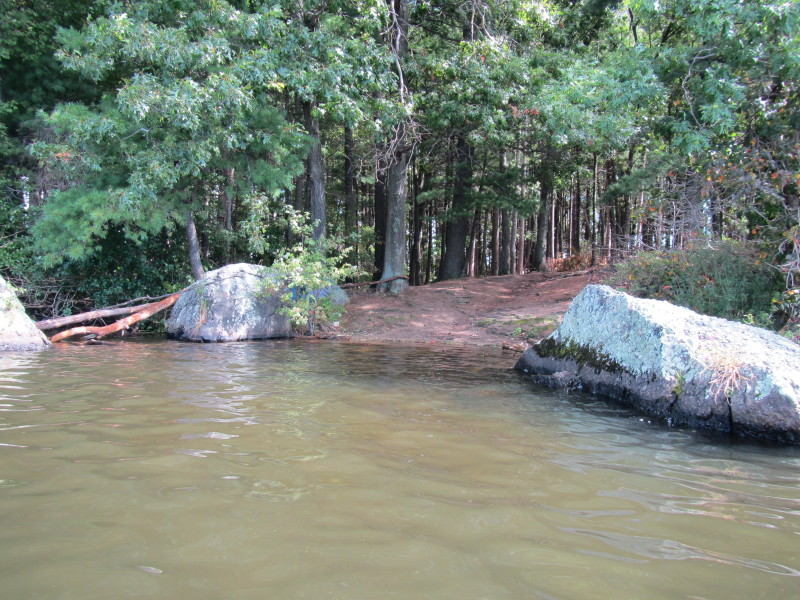
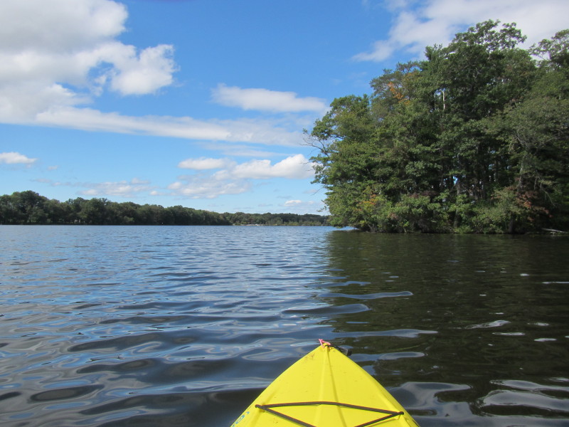
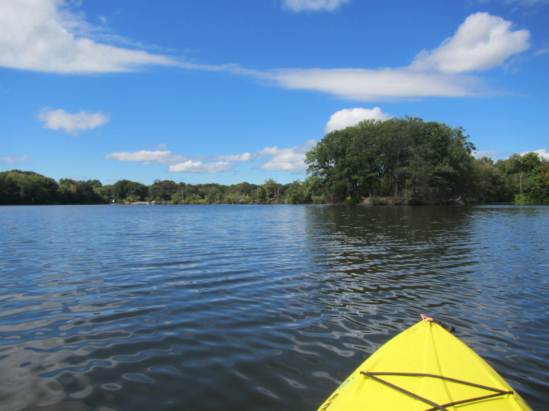
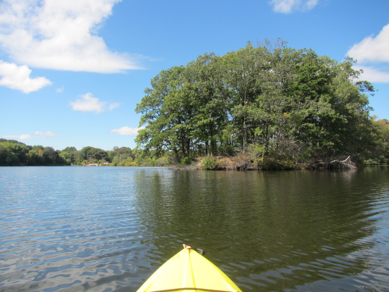
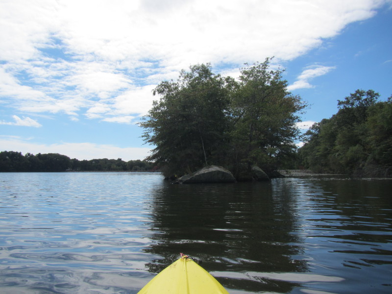 An island on Turner Reservoir.
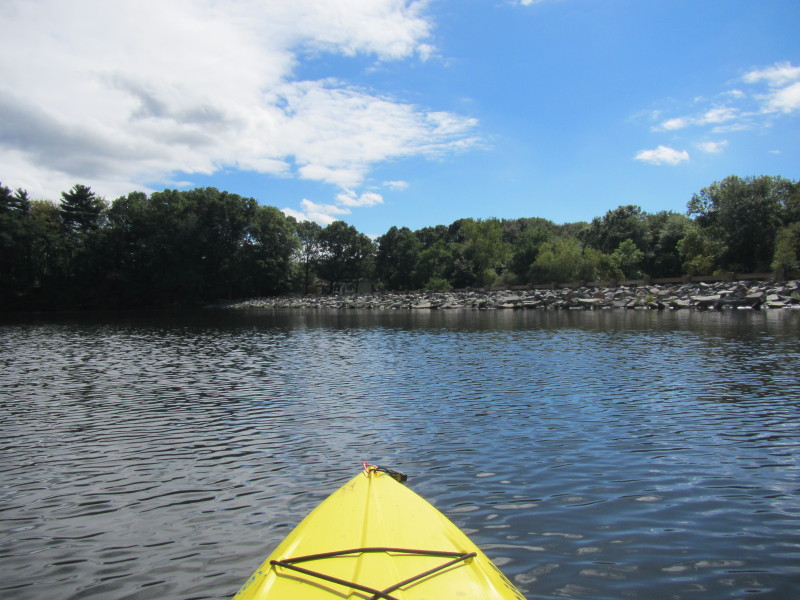
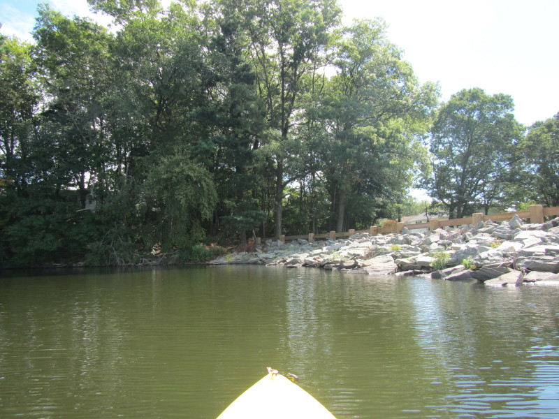
 The rock walls of the Turner Reservoir Dam.
 The top of the Turner Reservoir dam.
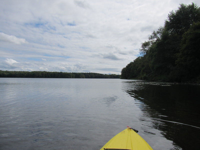
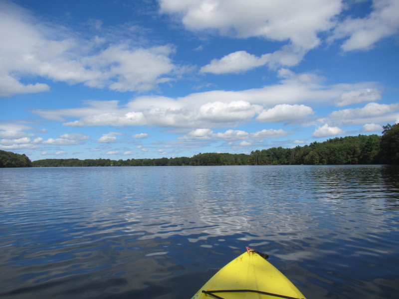
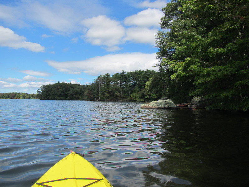
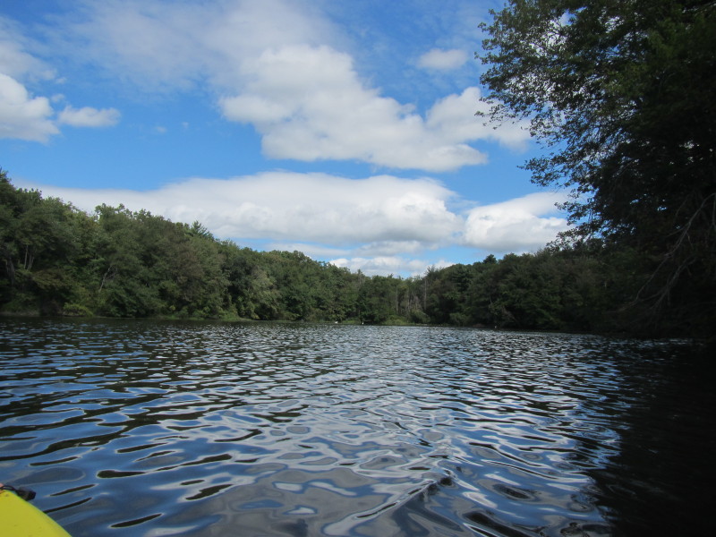
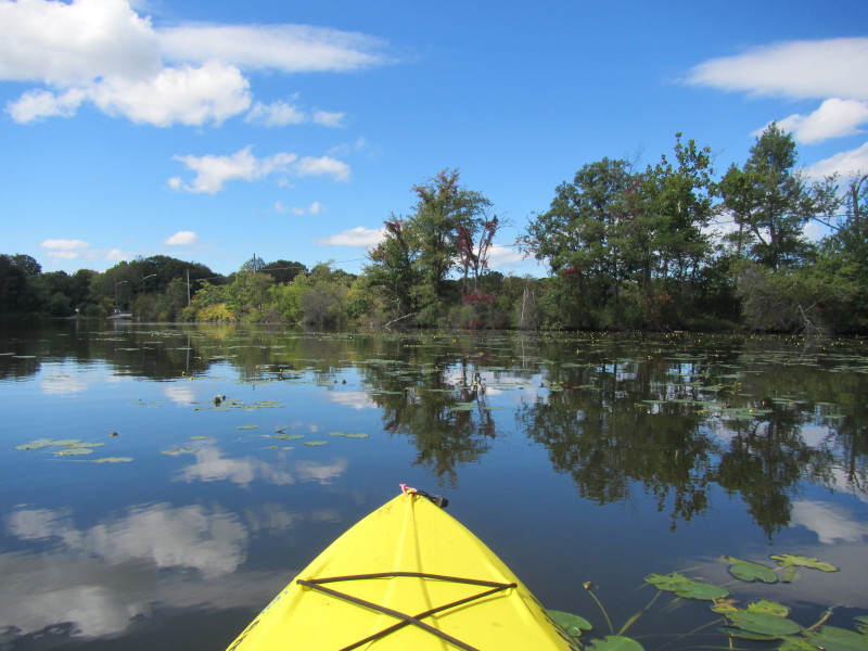
 Heading to the south east corner of this reservoir.
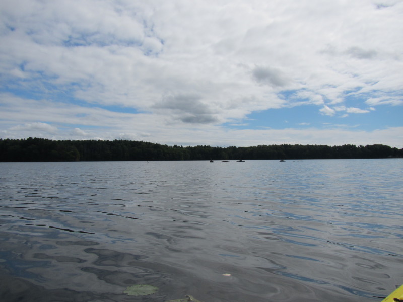
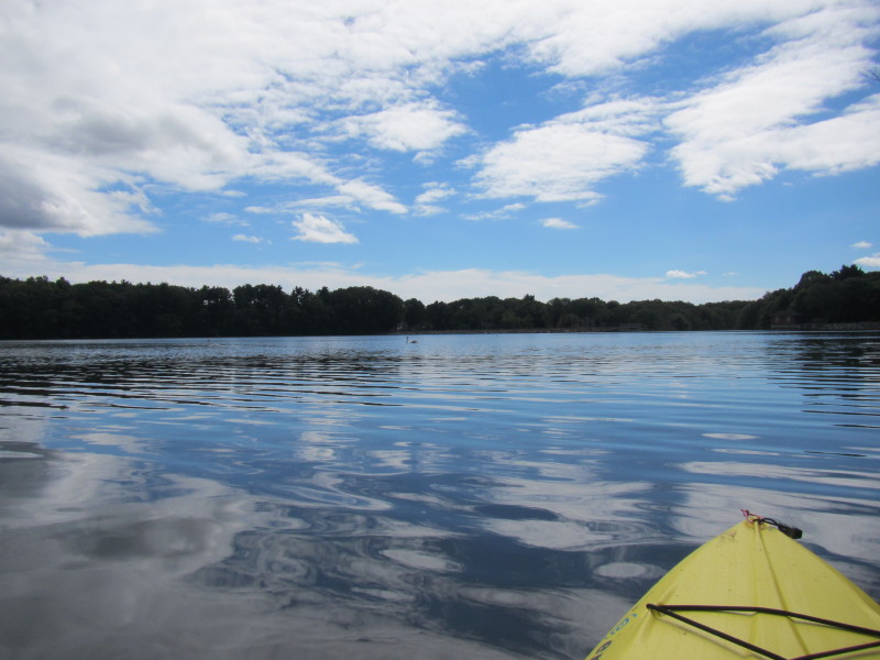
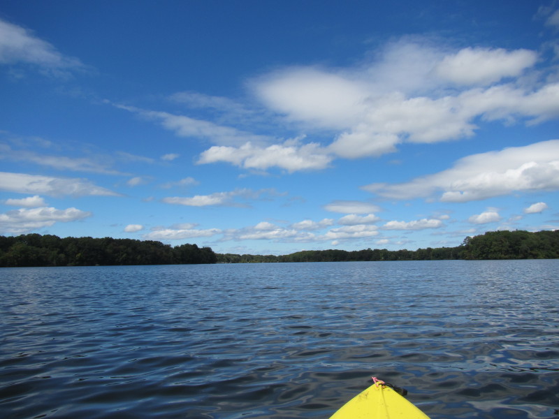
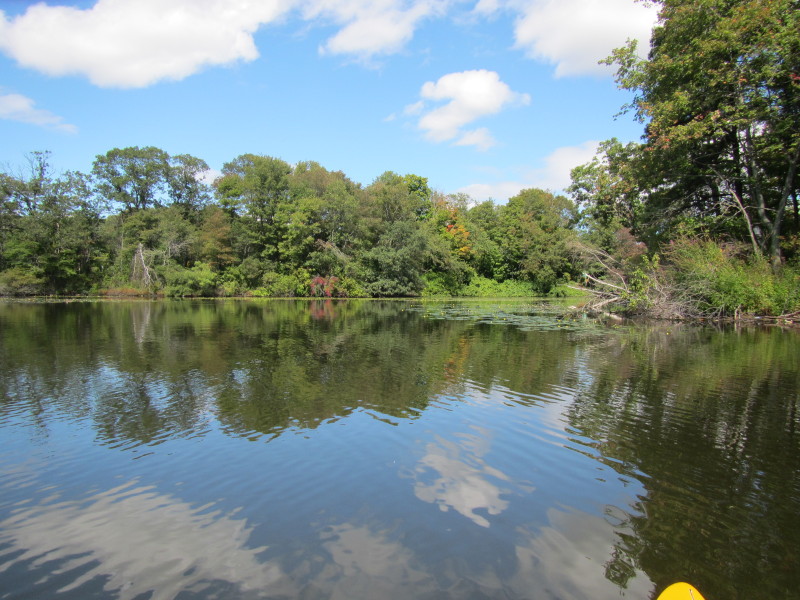
 Turner Reservoir viewed from the south east corner.
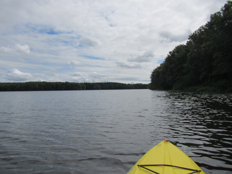
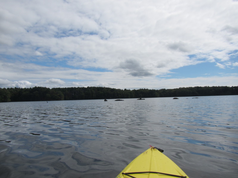
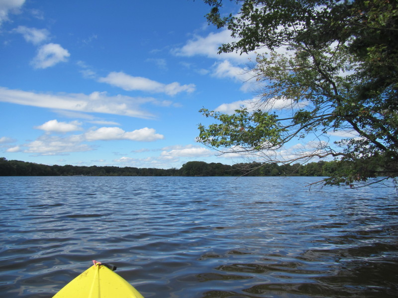
 Starting my paddle back along the east shore.

 Access to the Turner Reservoir from the hiking trail along the east shore.
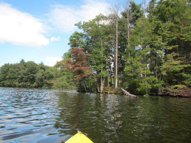
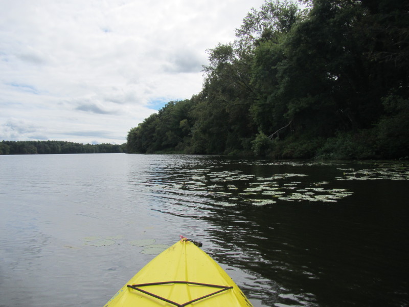
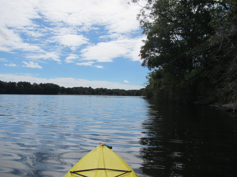
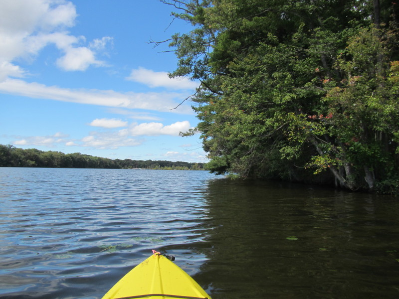
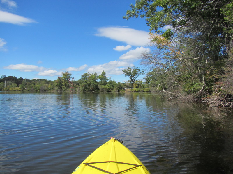
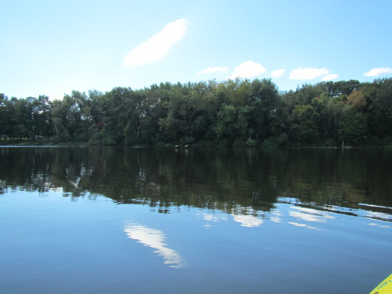
 A cove on my right.
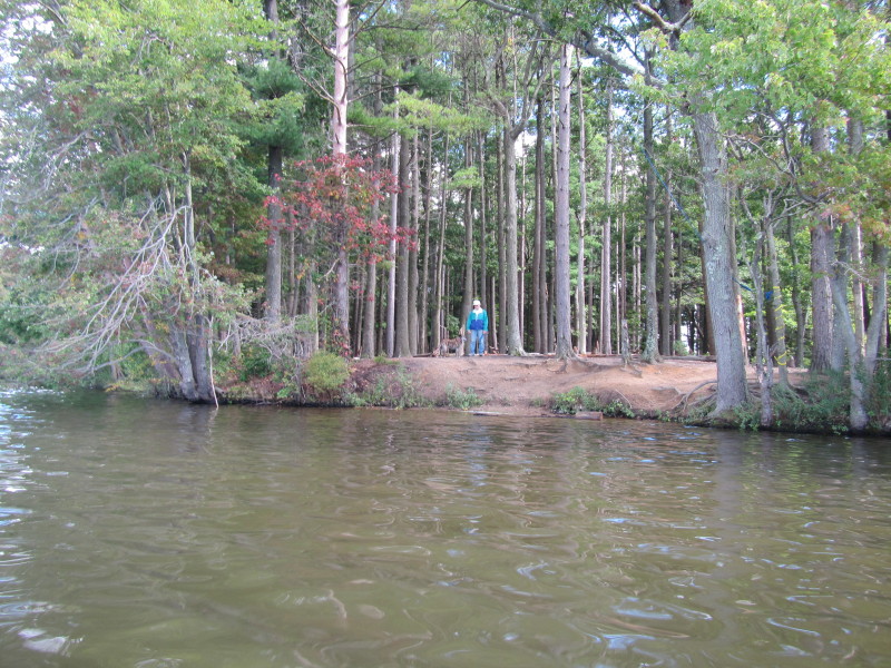 A man and his dog on the tip of the peninsula jutting from the east shore.
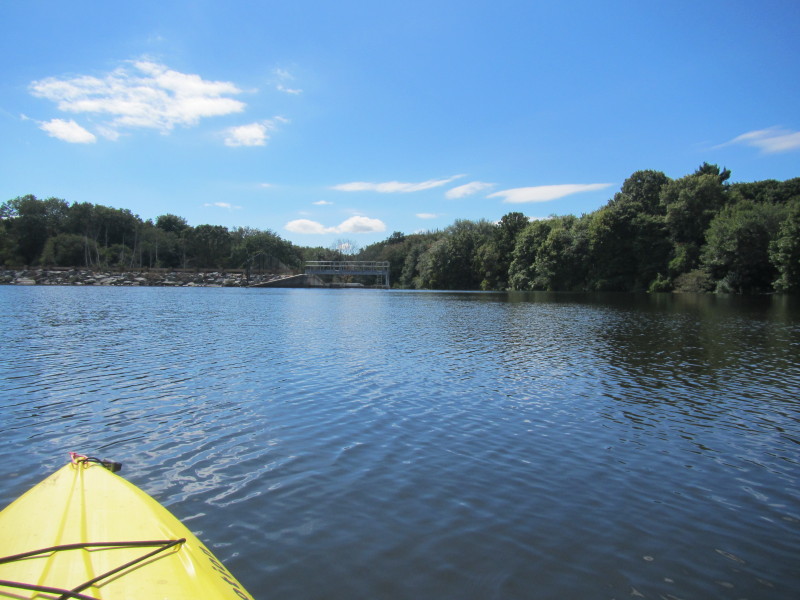
 I can see the Route 152 bridge left of center in the picture.
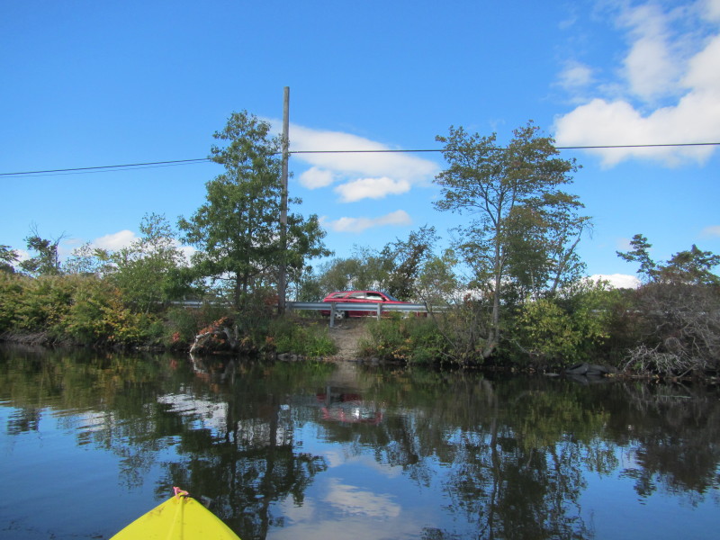 Route 152.
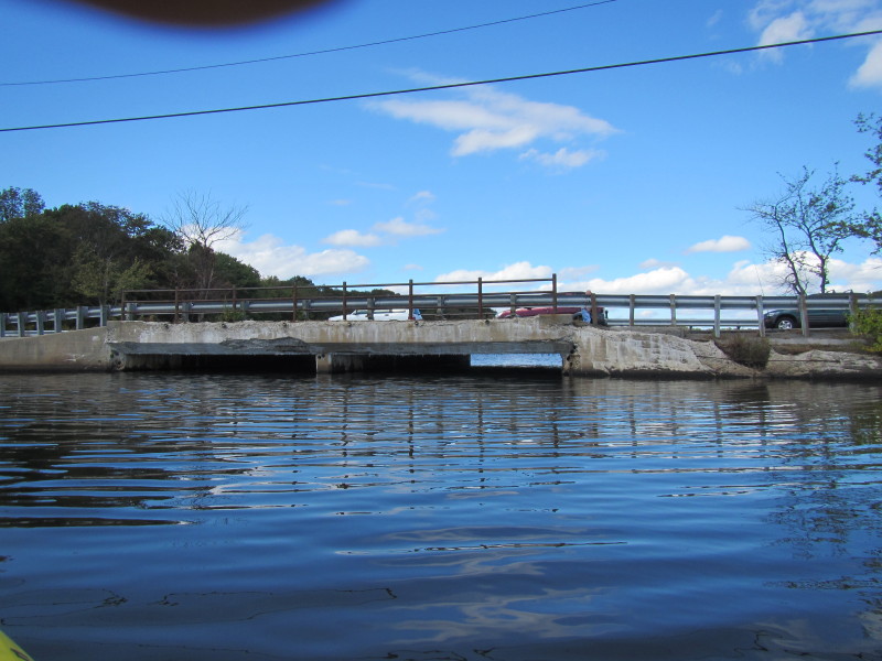
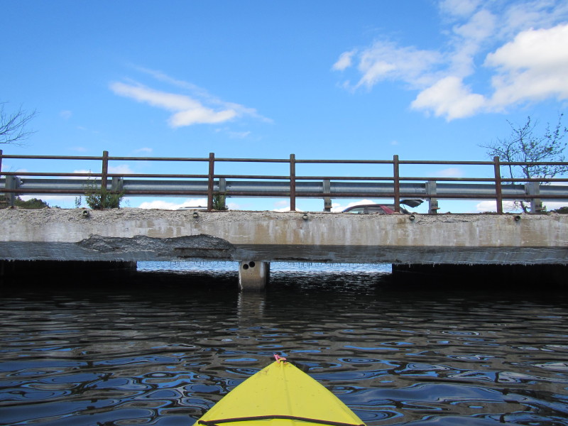 I approached this bridge but the clearance is too small to pass under.
|