 Kayaker

| |||||||||||||||||||||||||||


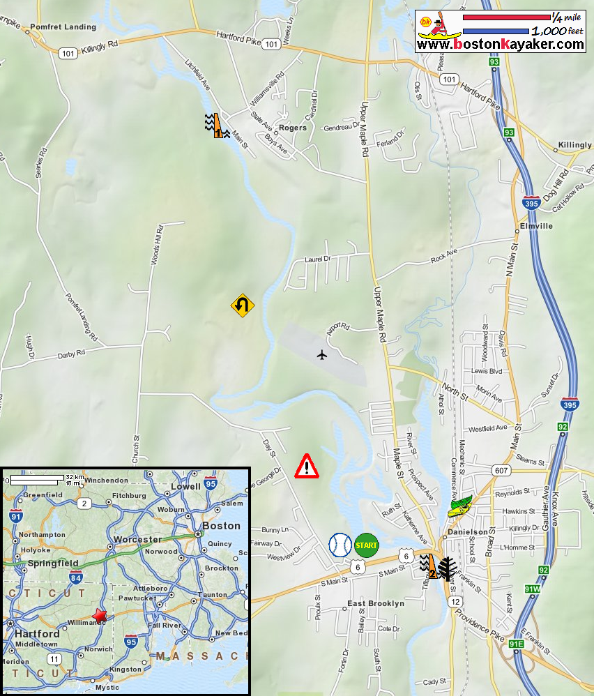


|
Download printer-friendly
PDF version that fits in one page: |

|
|
Other resources:
The Last Green Valley: The 2012 Quinebaug River Paddle Guide (see pages 21-22) The Last Green Valley: The 2012 Quinebaug River Paddle Guide (cached copy) Five Mile Outfitters All photos in this website are original and copyrighted. 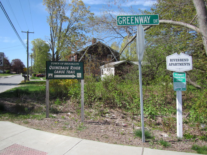 On Day Street in Brooklyn CT in May 2013.
The Quinebaug River launch road sign on Day Street. 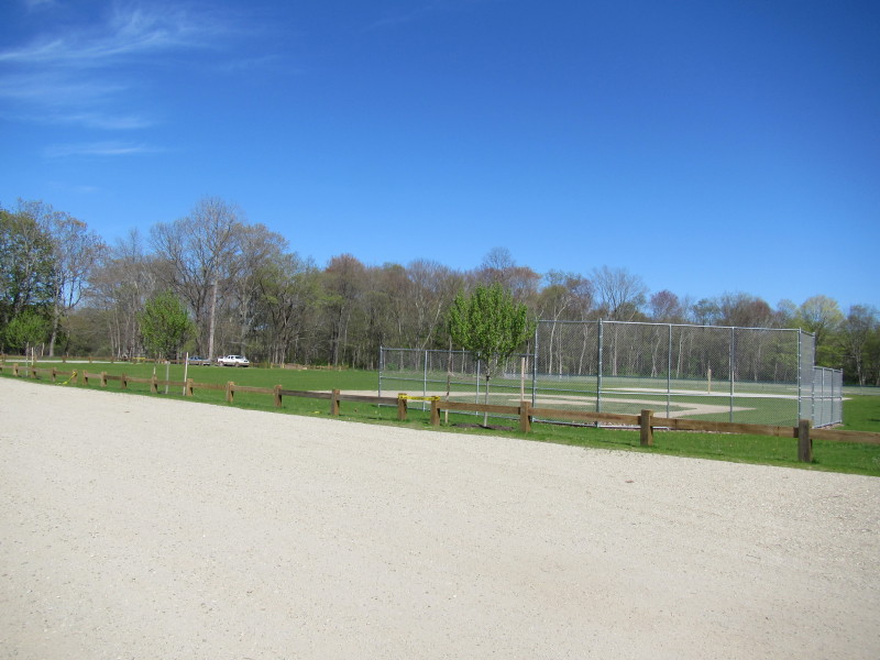 Entering Greenway Drive, past the apartments are these baseball fields.
The launch is at the back where those parked cars are. 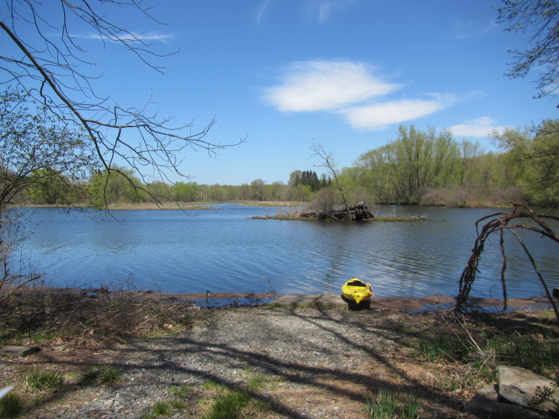 At the Quinebaug River launch in Riverside Park in Brooklyn CT.
 Just launched on the Quinebaug River.
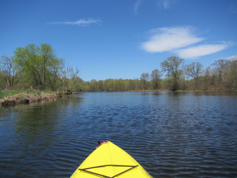
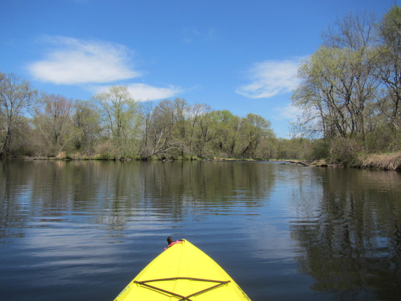
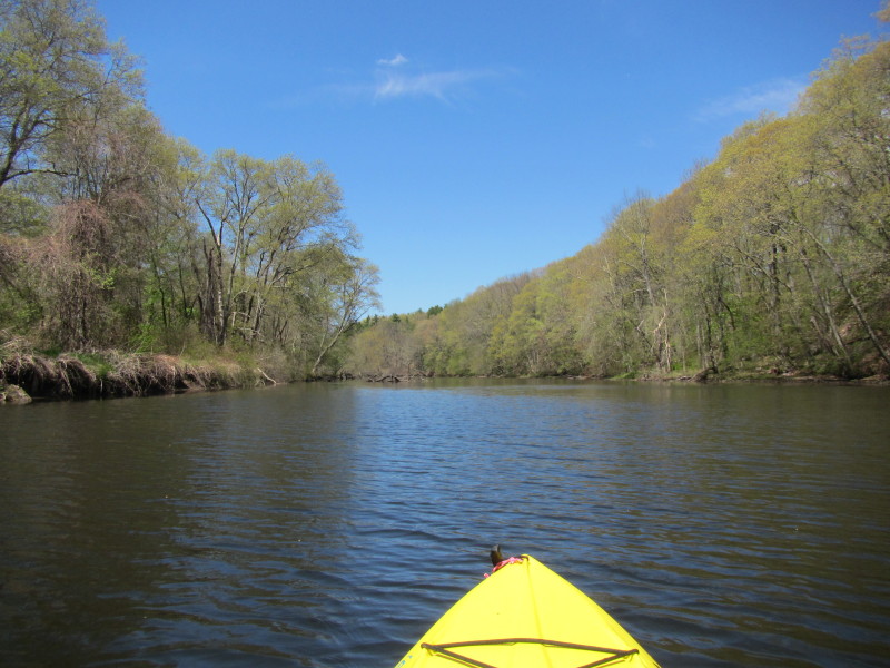
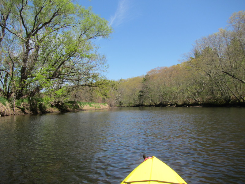
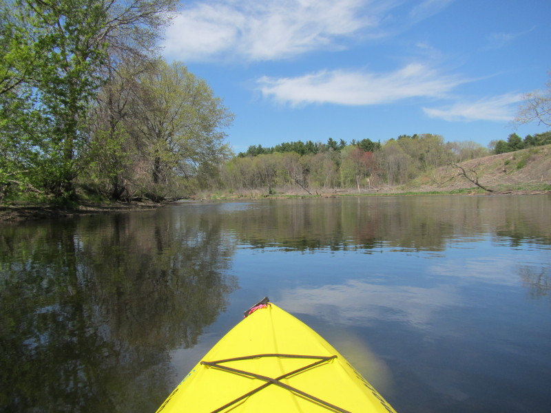
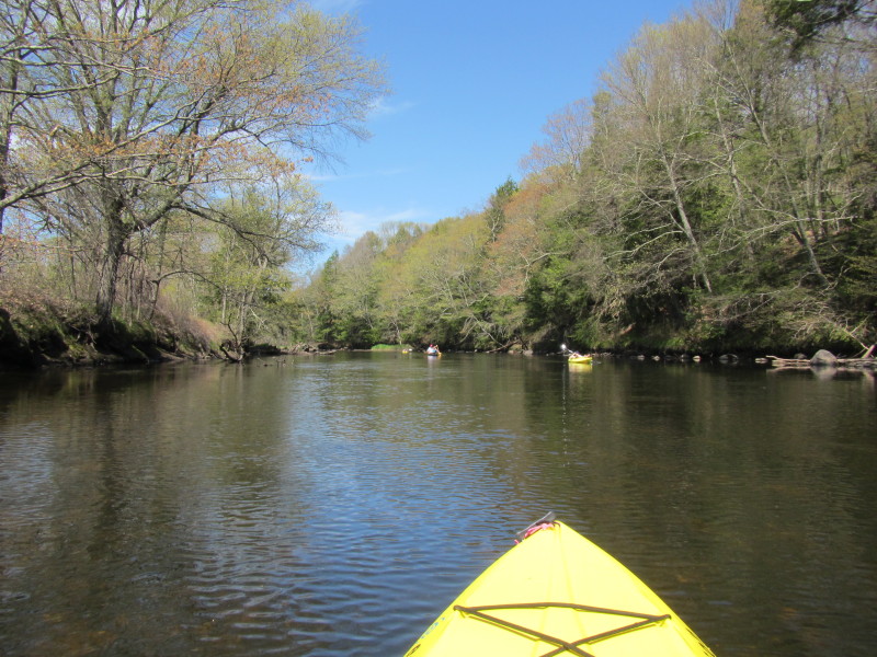
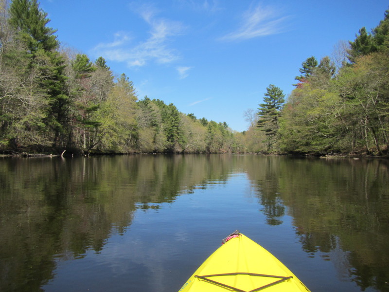
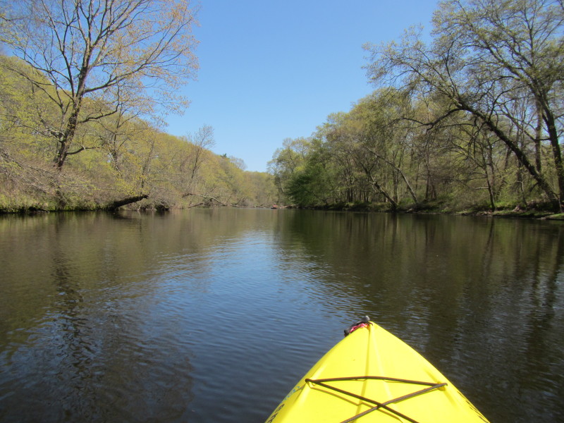
 Paddling north upriver.
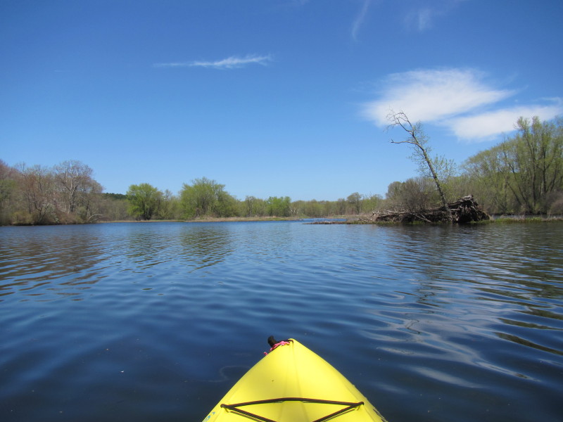
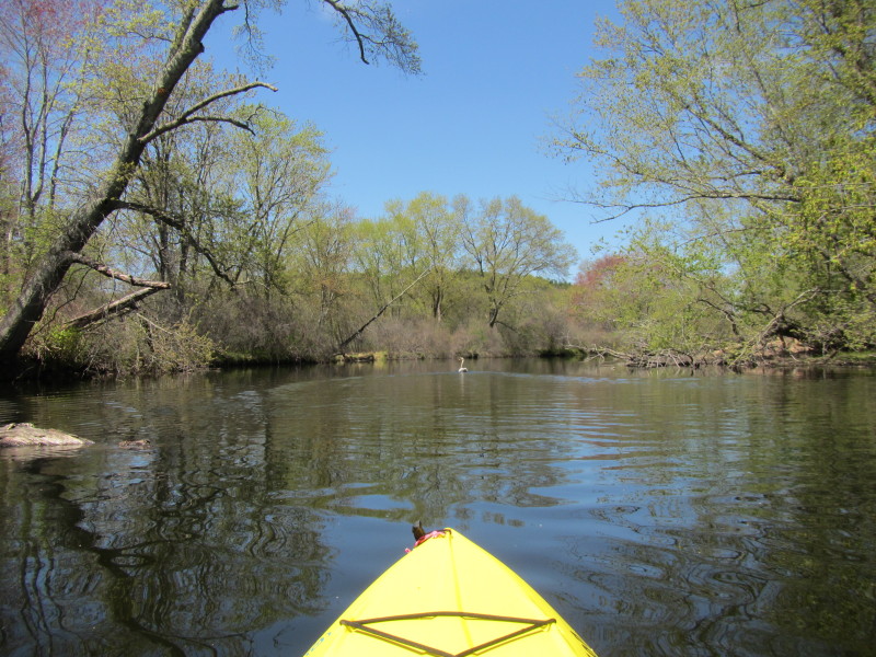
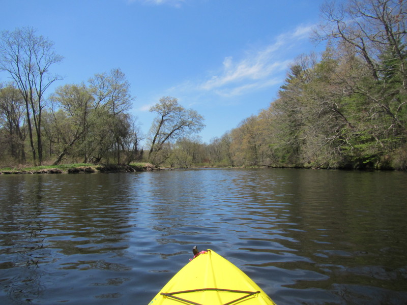
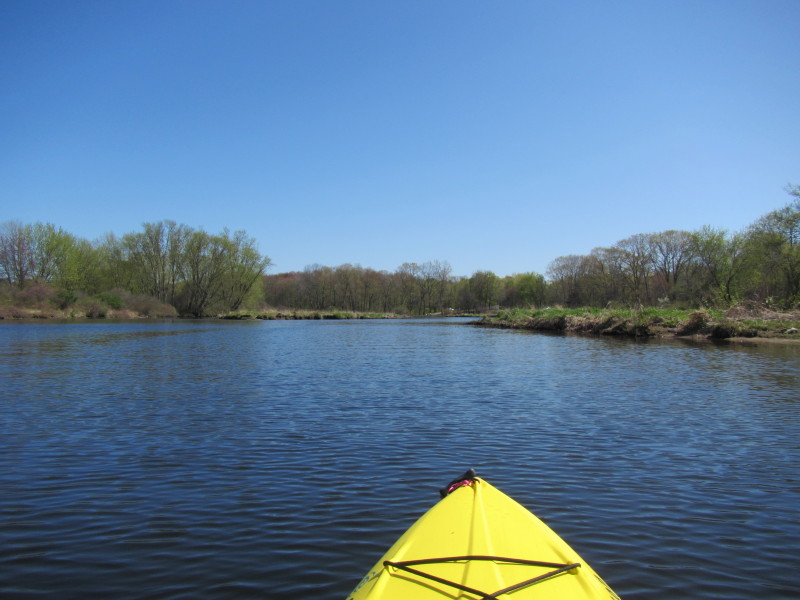
 I will round this tounge of land and then will stay left (as per map above).
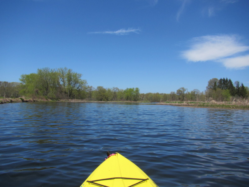
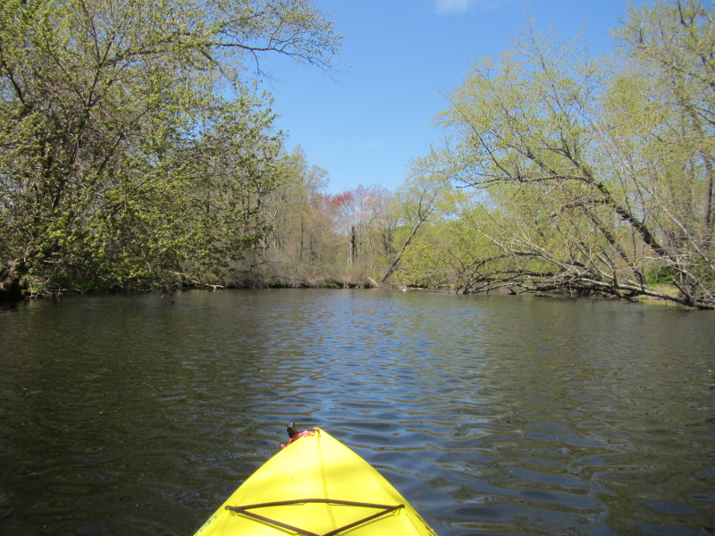
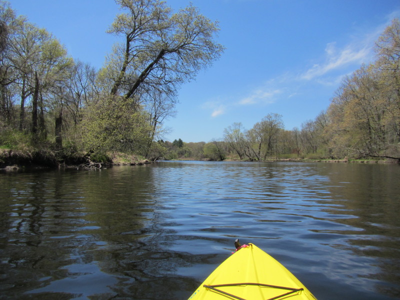
 From here, I will stay left to find the main river channel.
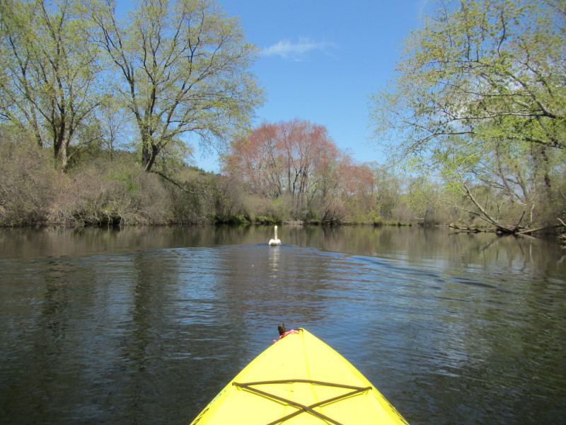 I am being led by a swan.
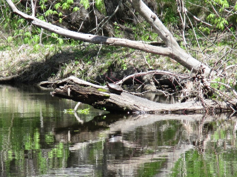 A turtle sunbathing.
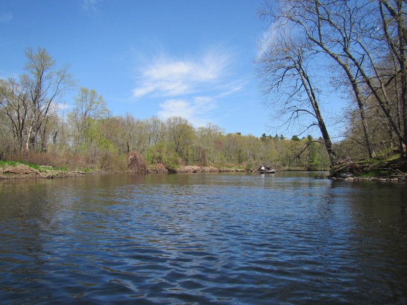
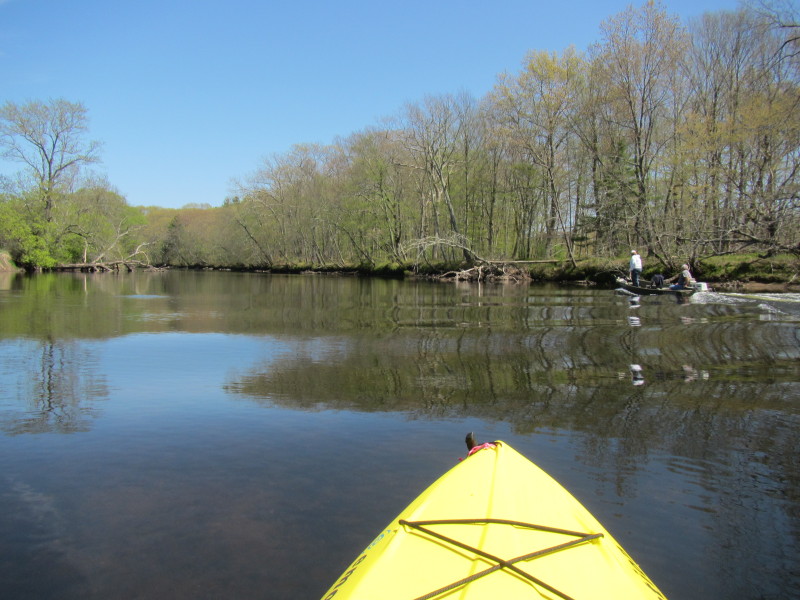
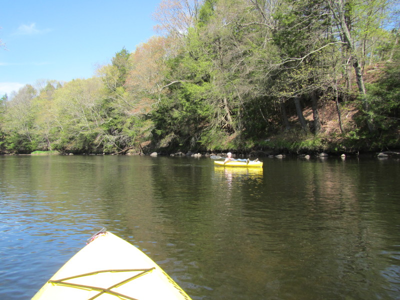
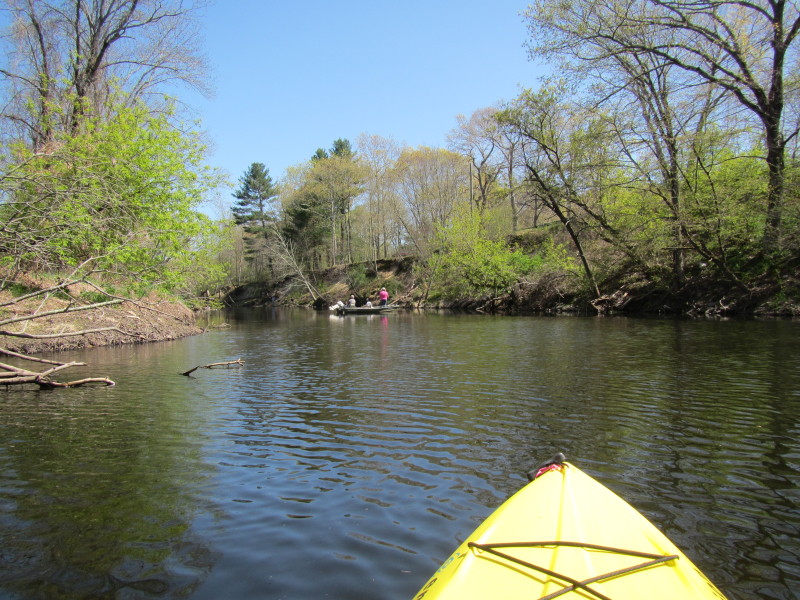
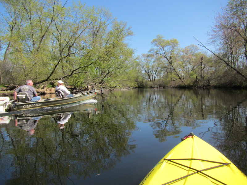
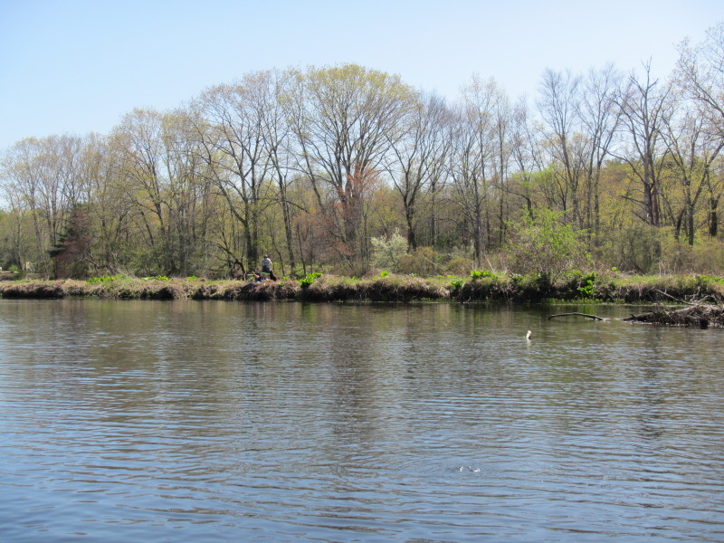
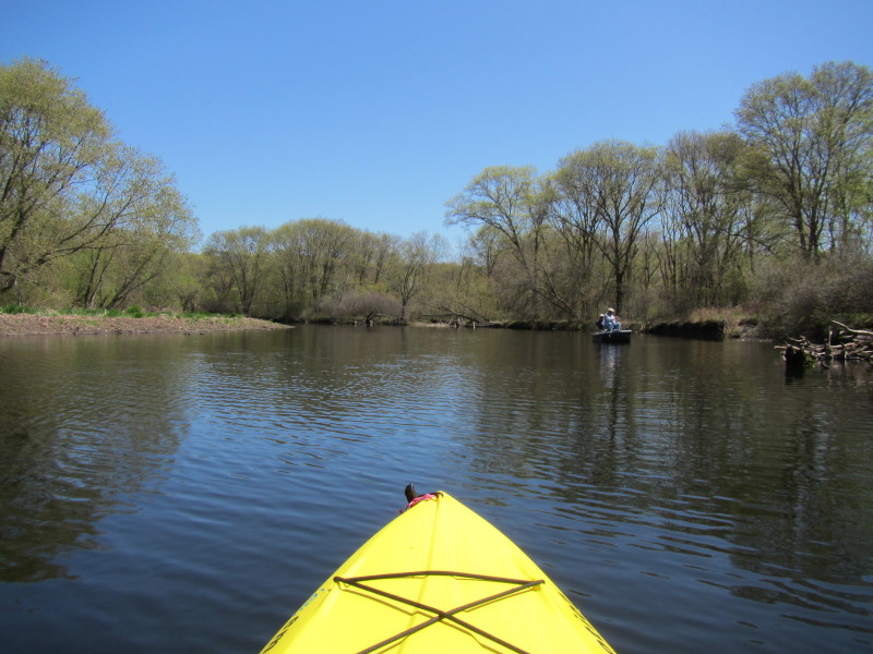 A couple fishing from a boat.
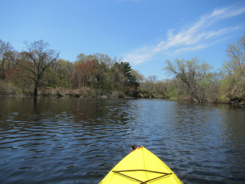
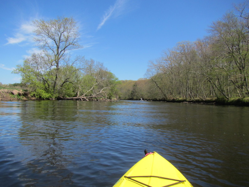
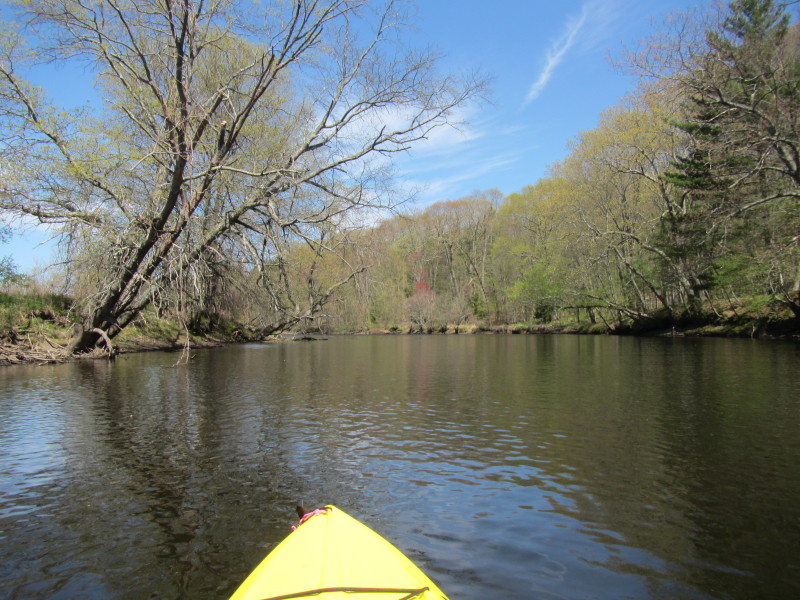
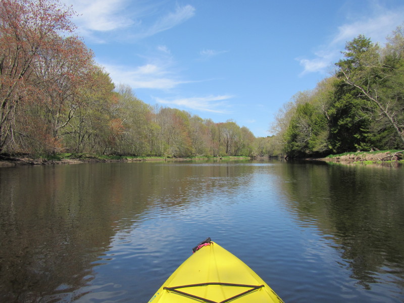
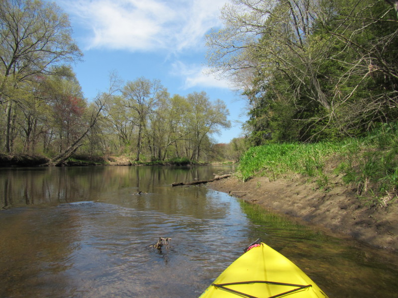
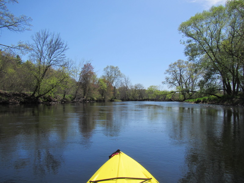
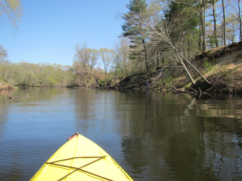
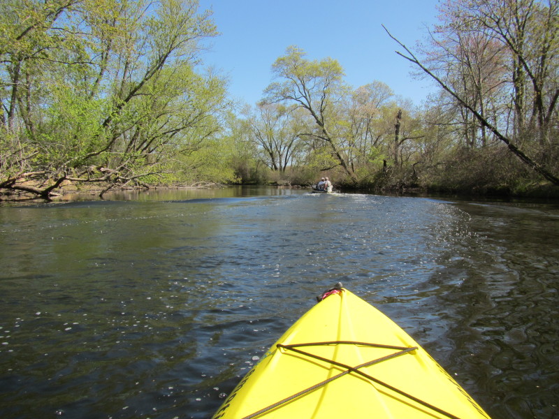
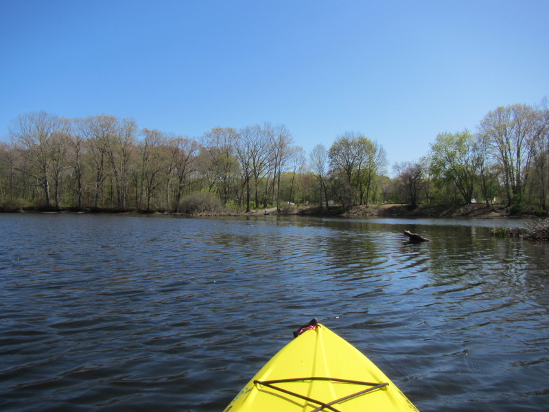
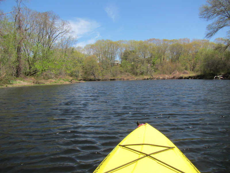 Continuing my paddle upriver, some houses on the east side.
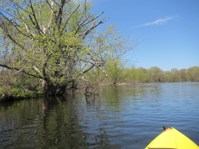
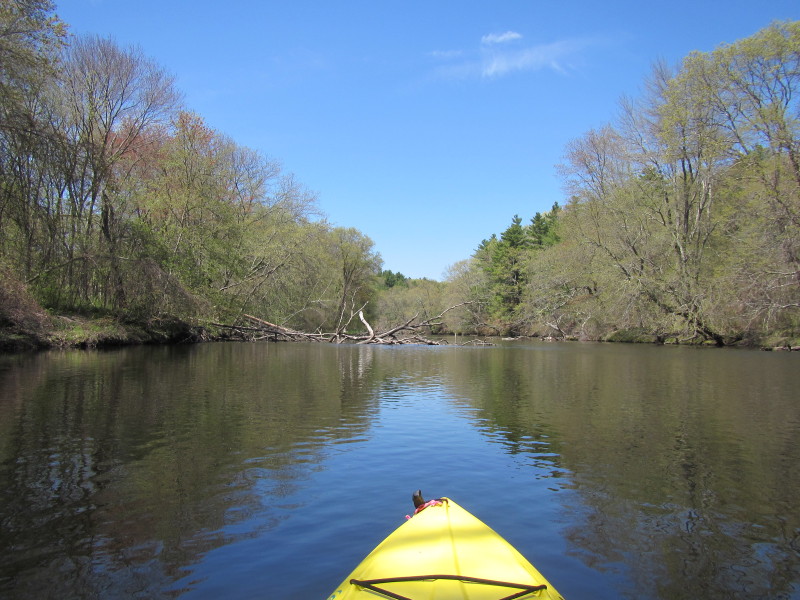
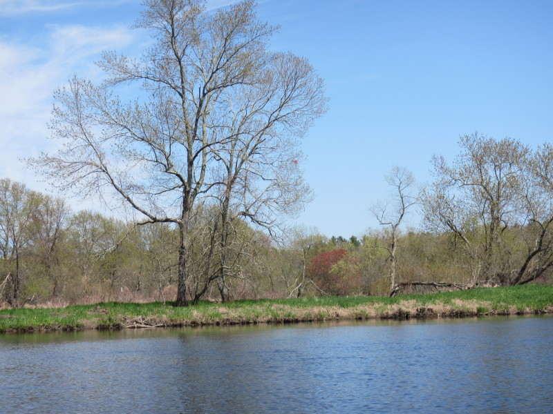
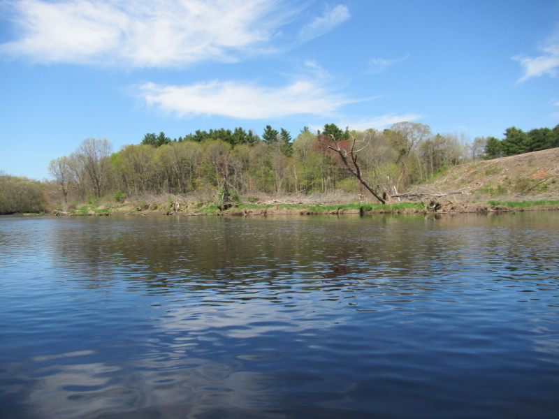
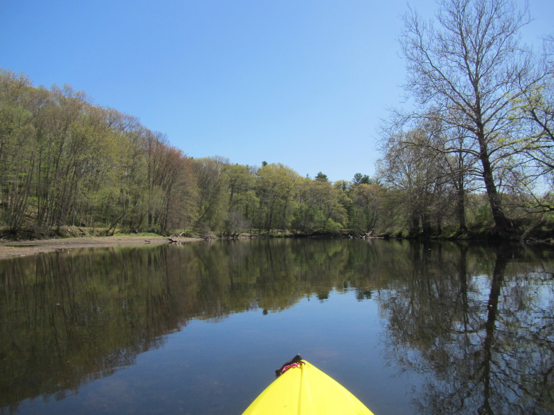
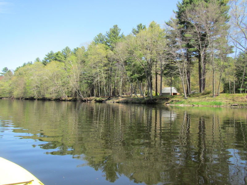
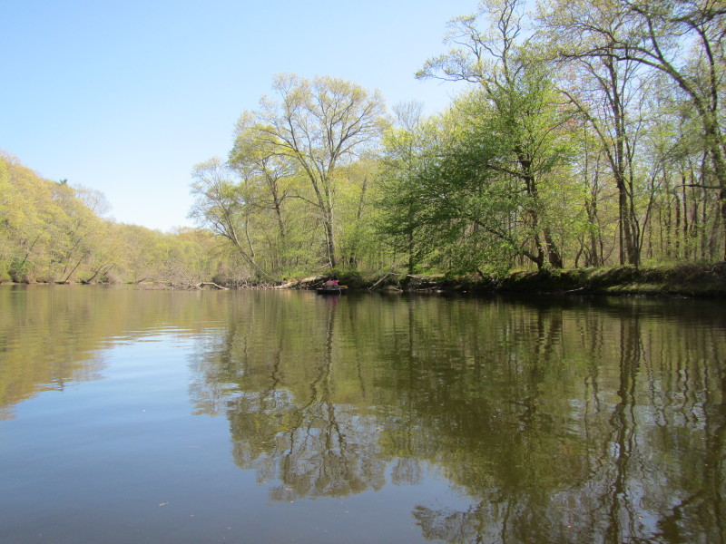
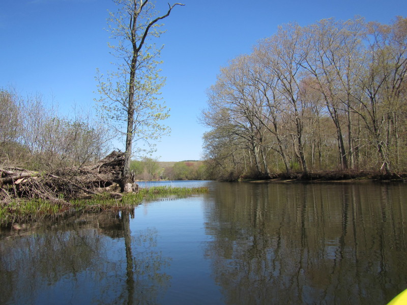
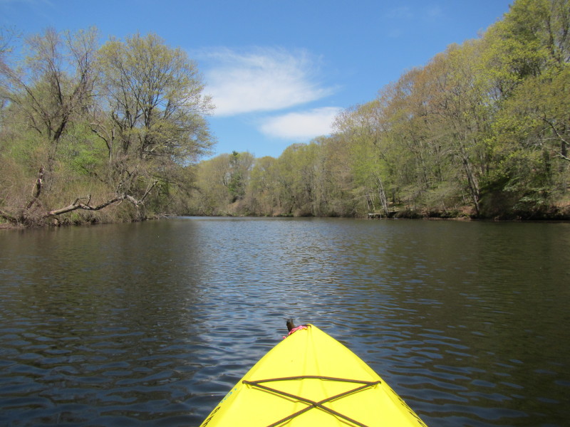 Beautiful tree-lined shores of Quinebaug River in Brooklyn CT.
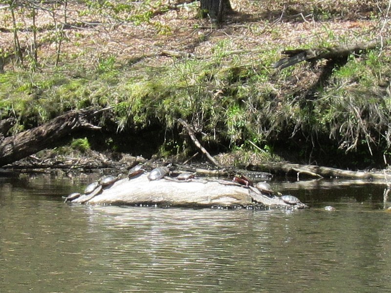 Turtles aplenty.
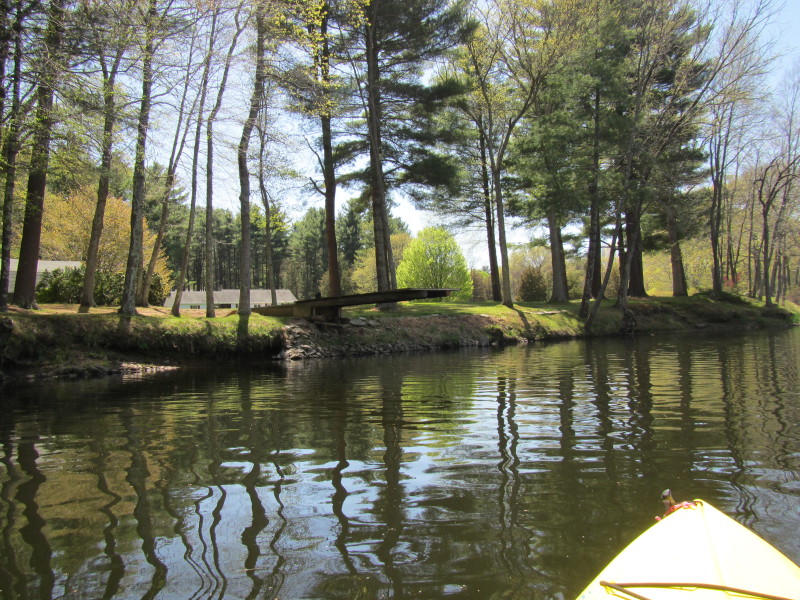 A diving-board-like platform over the Quinebaug River.
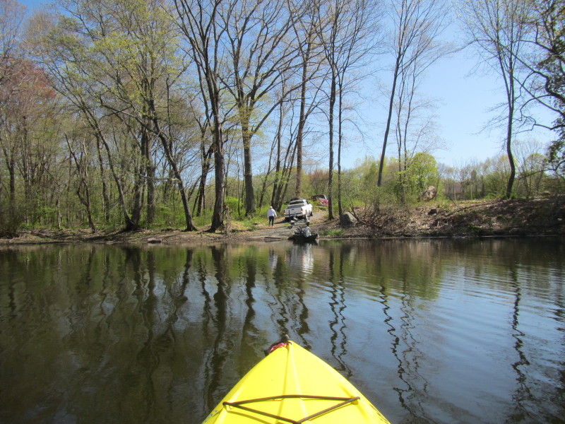
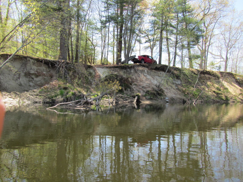 A guy loading his boat on this informal and very steep landing
where the river U-turns close to Day Street.
A guy loading his boat on this informal and very steep landing
where the river U-turns close to Day Street.
 I have to take a rest as my arms are starting to hurt.
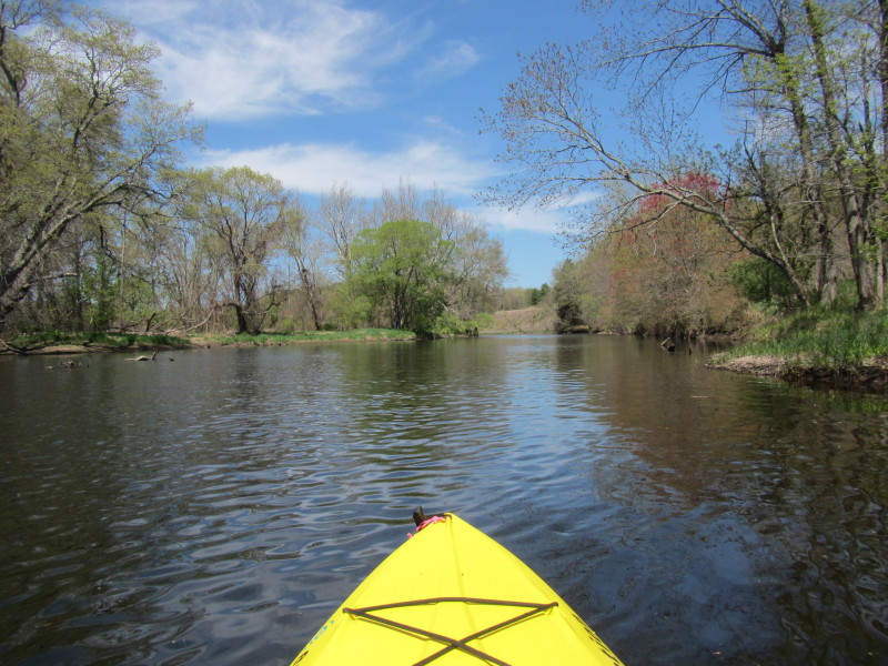
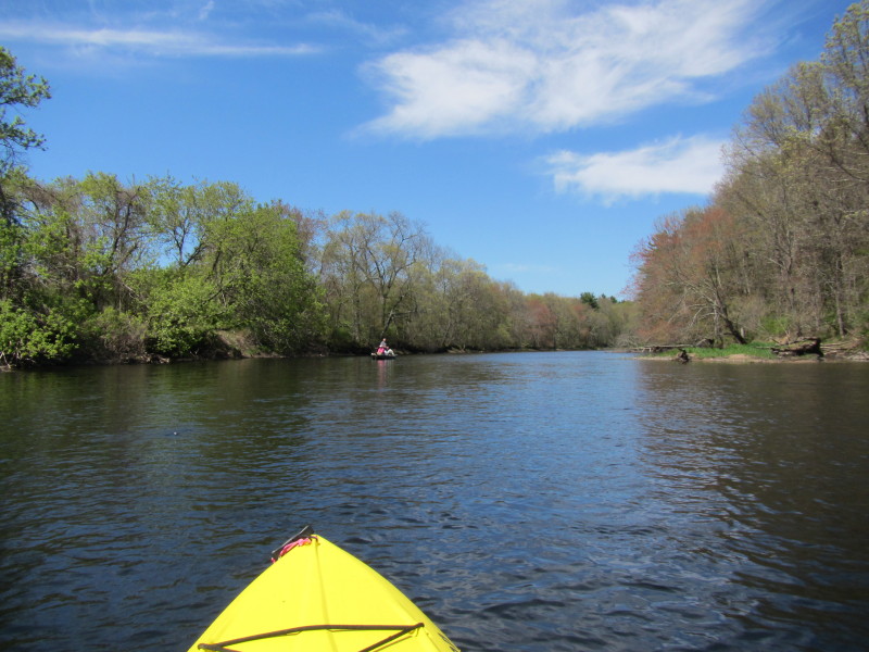
 Back on the river, I continue my paddle upstream hoping to get to Rogers Dam.
 A family in two kayaks and one canoe.
 The current is getting faster and I am now tiring fast.
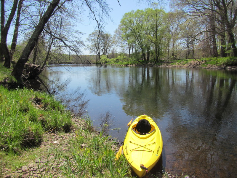
I took this break to get out, stretch my legs and turn around. 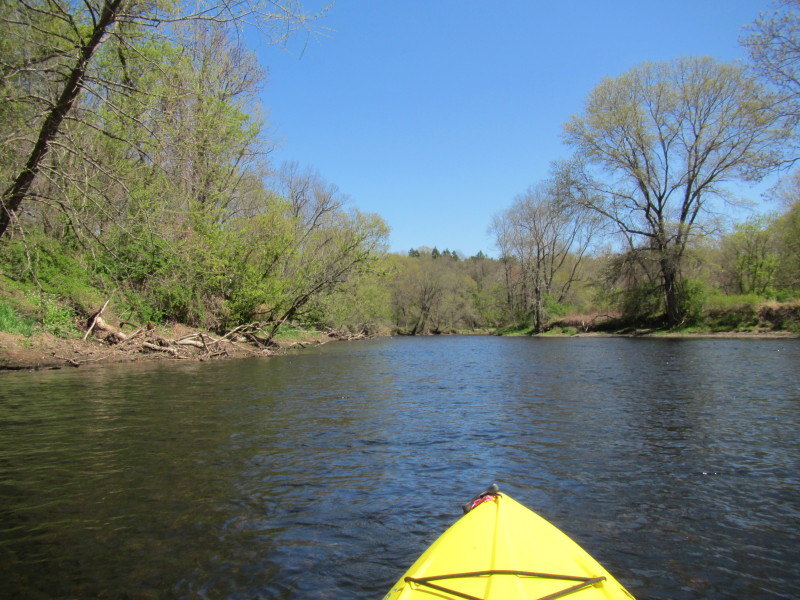 Launched back to the Quinebaug River.
I am now paddling south downriver to return. 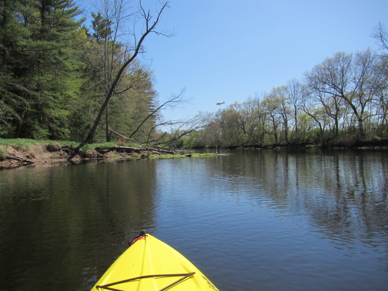 An airplane into its final descent to the airport runway.
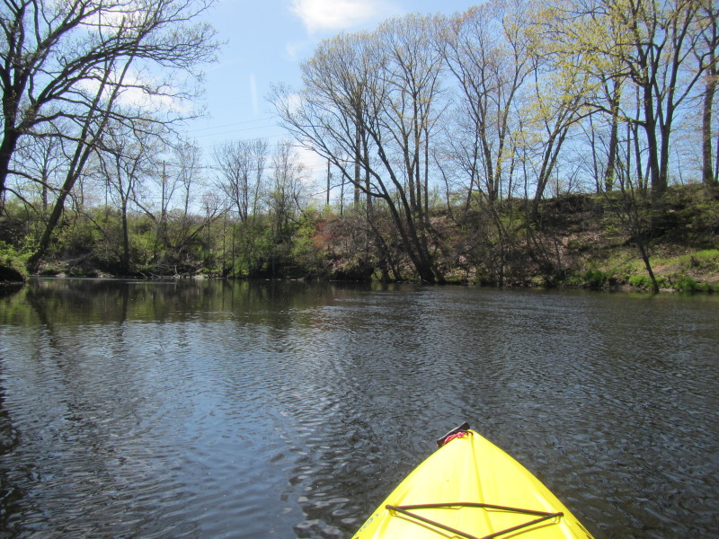 The power lines along Day Street. I am now curving sharp to the left.

 Two boys fishing from the shore of Quinebaug River.
 At the near end of my journey.
|