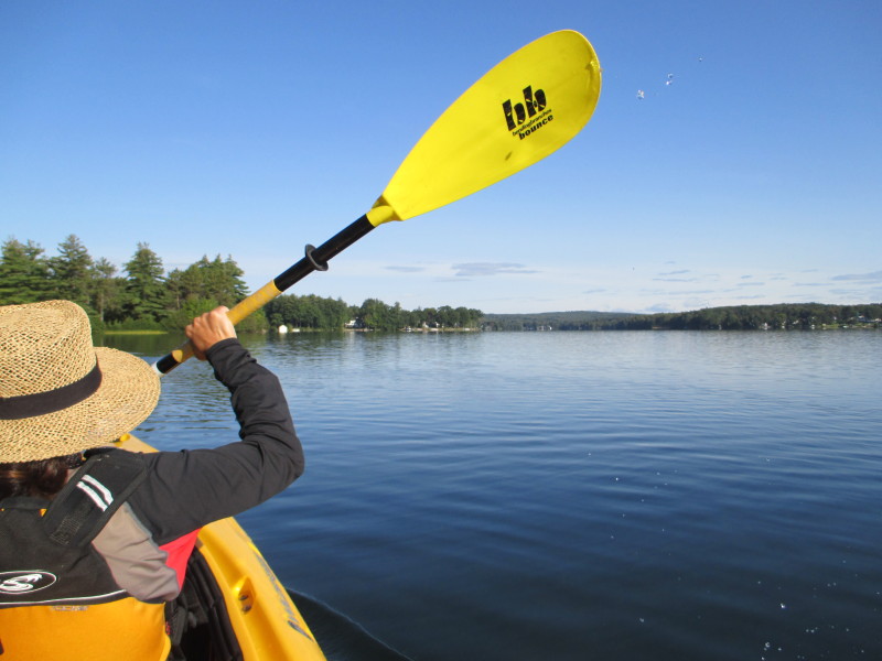
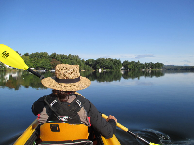
 Kayaker

| |||||||||||||||||||||||


|
Download printer-friendly
PDF version that fits in one page: |

|
|
Other resources:
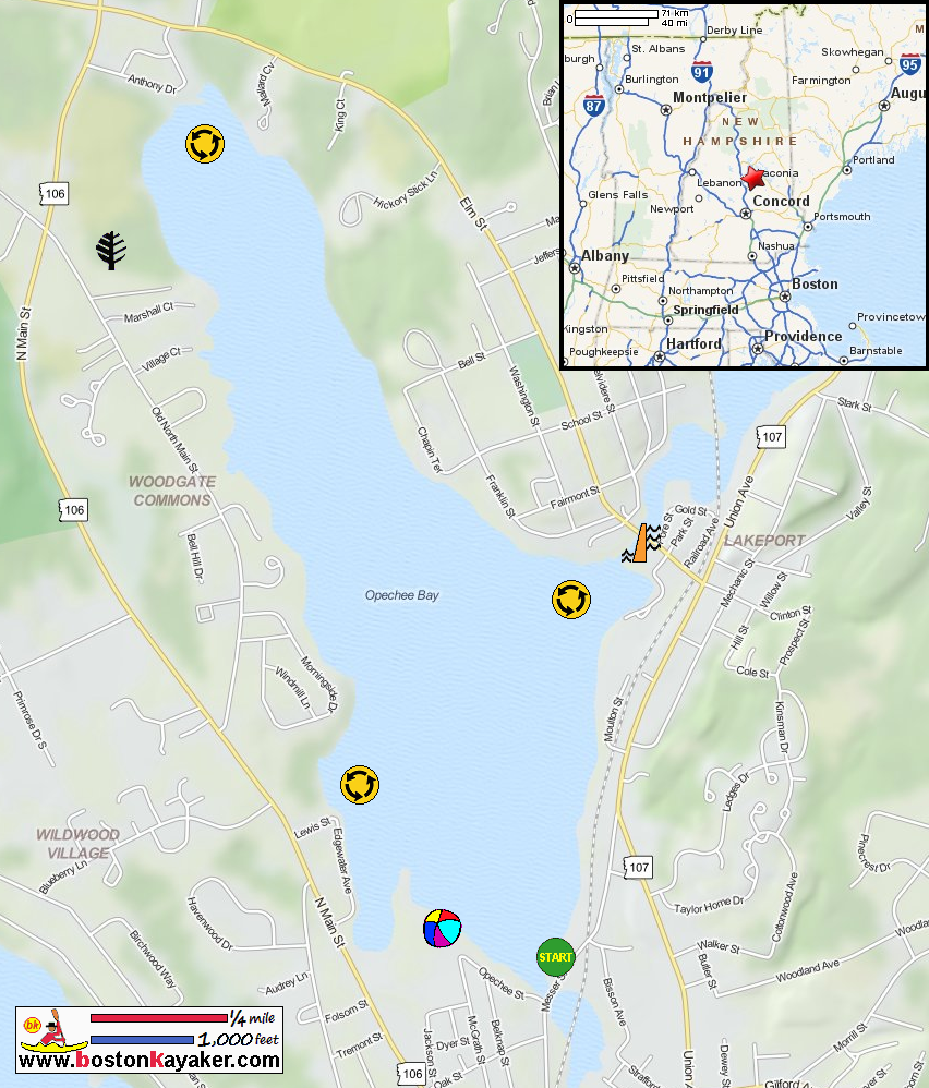
NH Govt: Opechee Bay in Laconia NH Bathymetry Map NH Govt: Opechee Bay in Laconia NH Bathymetry Map (cached copy) All photos in this website are original and copyrighted. 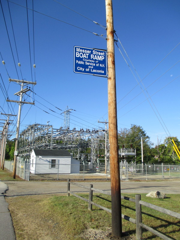
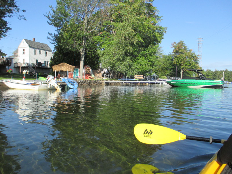
At the Opechee Bay town ramp on Messer Street in Laconia NH. Trip date is September 2017. 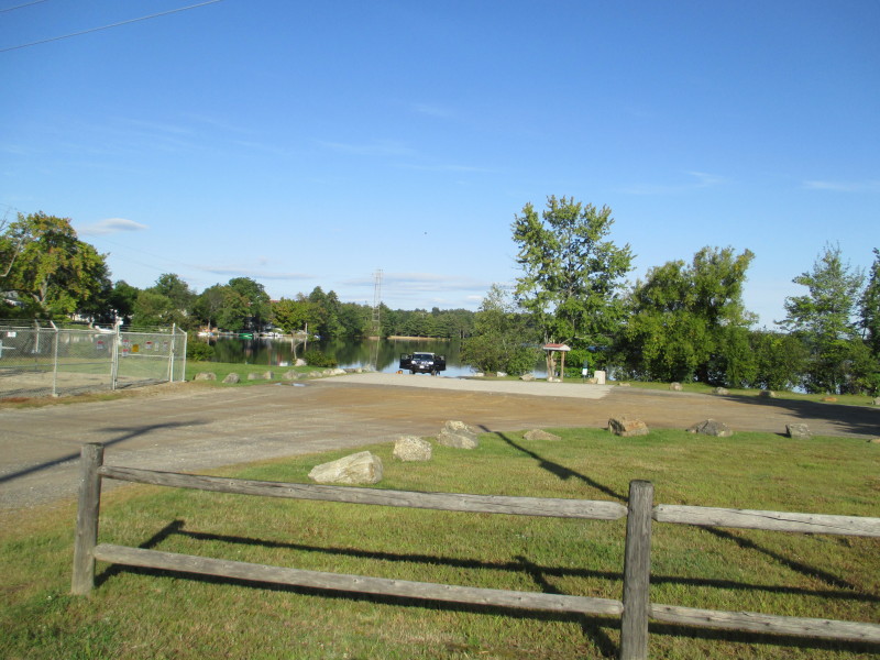 The access area to Opechee Bay.
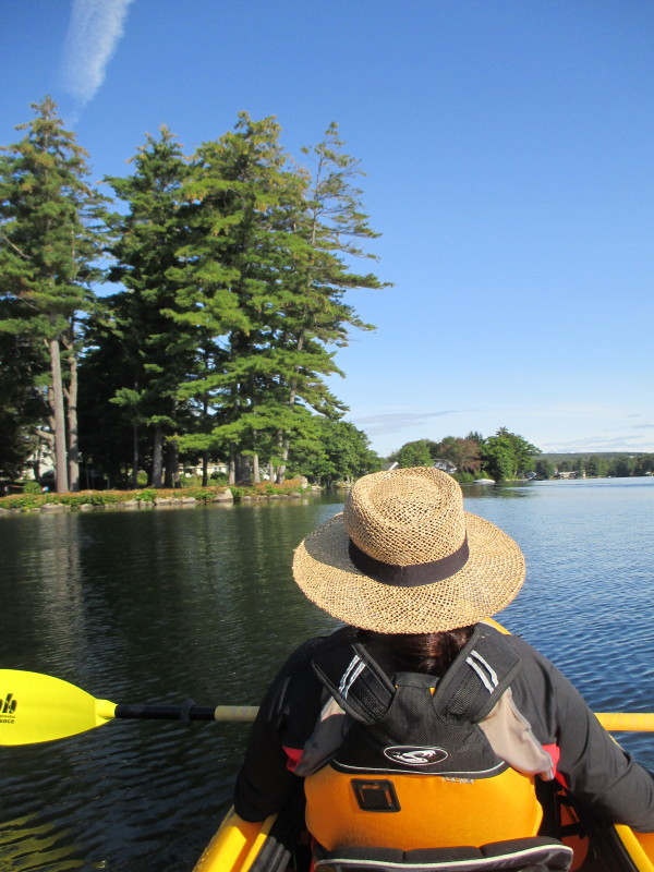
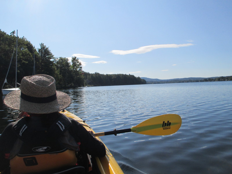
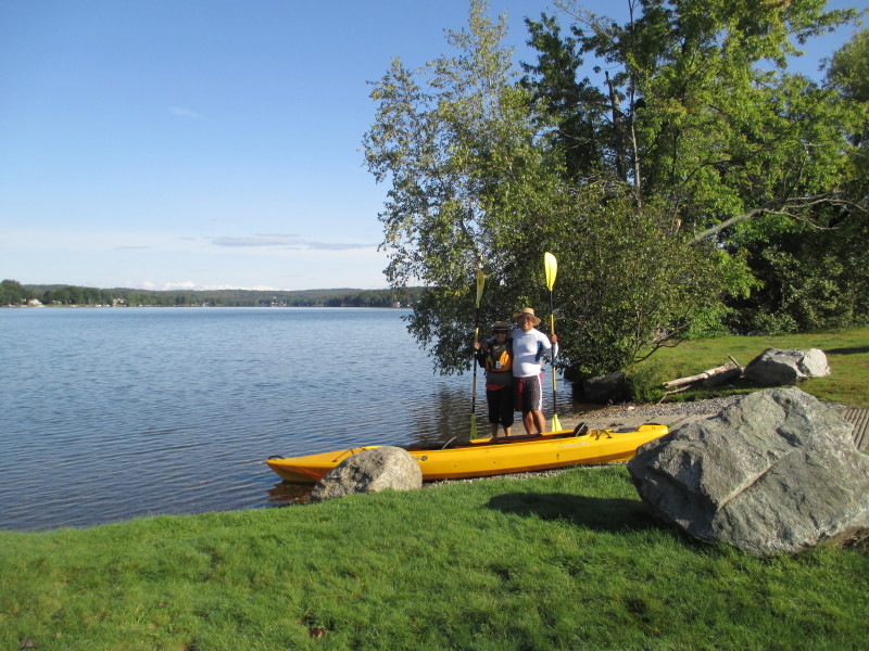 Boston Kayaker and wife.
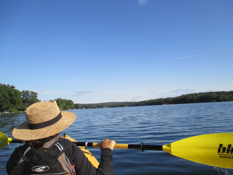
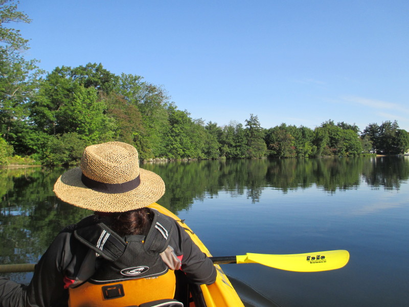
 The Boston Kayaker and wife just launched on Opechee Bay in Laconia NH.
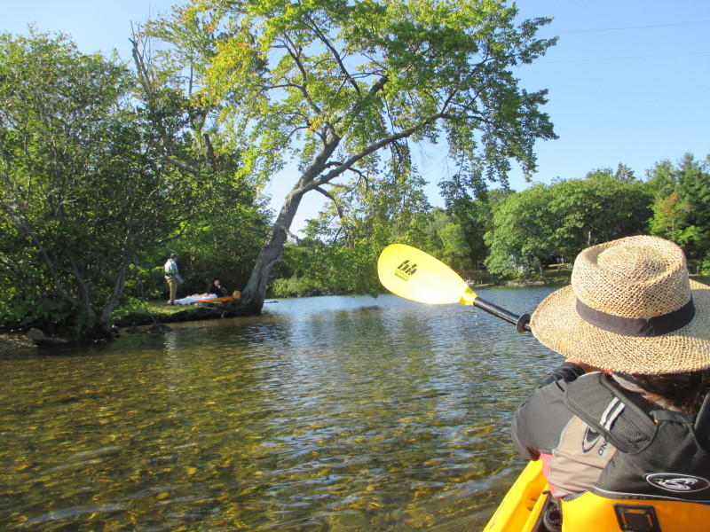 A couple picknicking near the launch area.
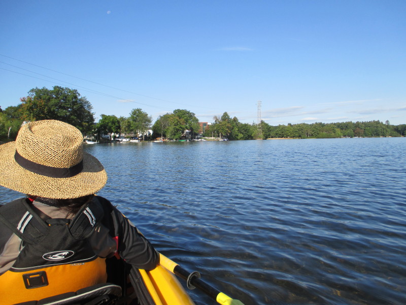
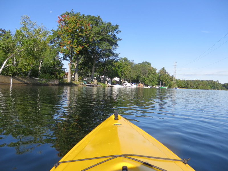
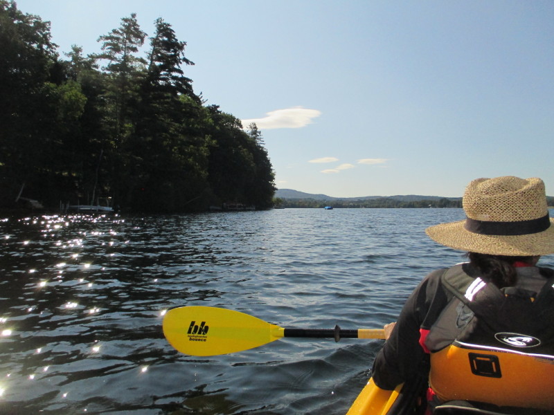
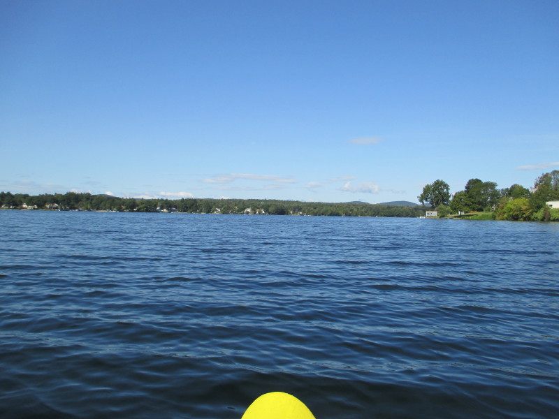
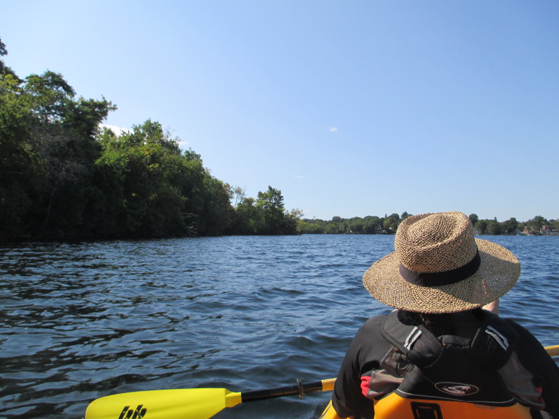
 From the launch, we veered left and will circle Opechee Bay counter-clockwise.
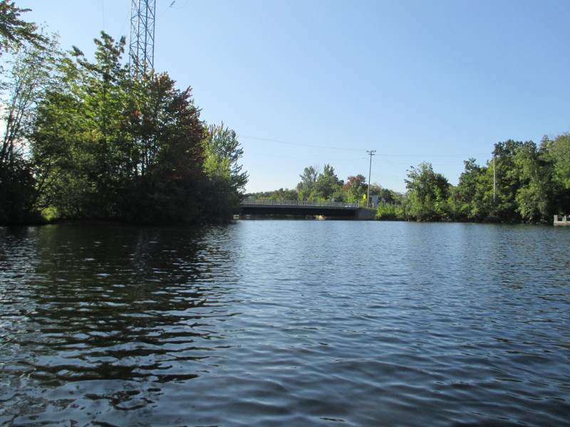
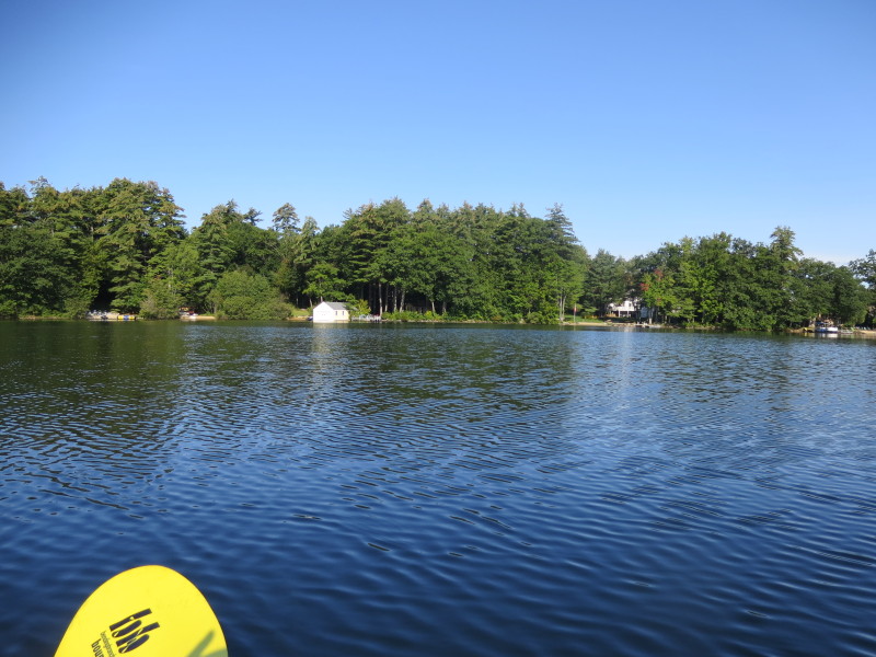
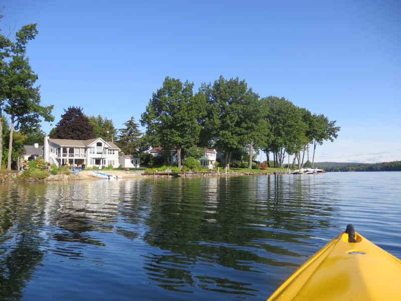
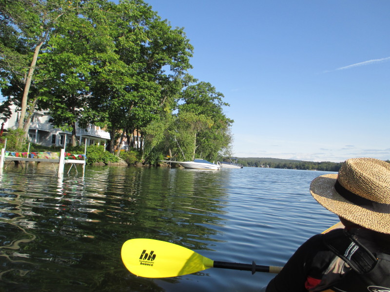
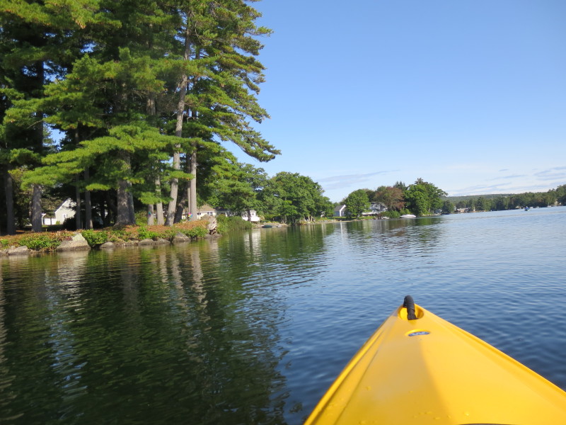
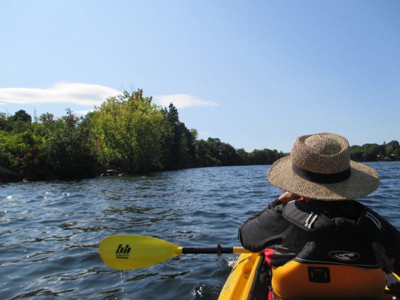
Ahead is the Messer Street bridge. 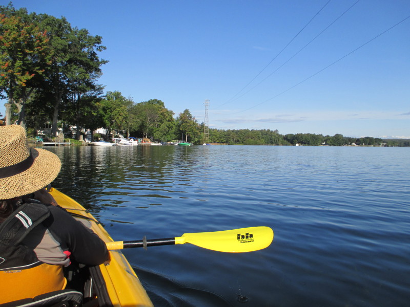 On right is the beginning of the Opechee Bay's western shore.
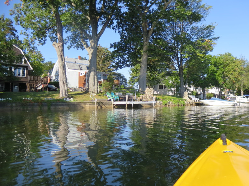
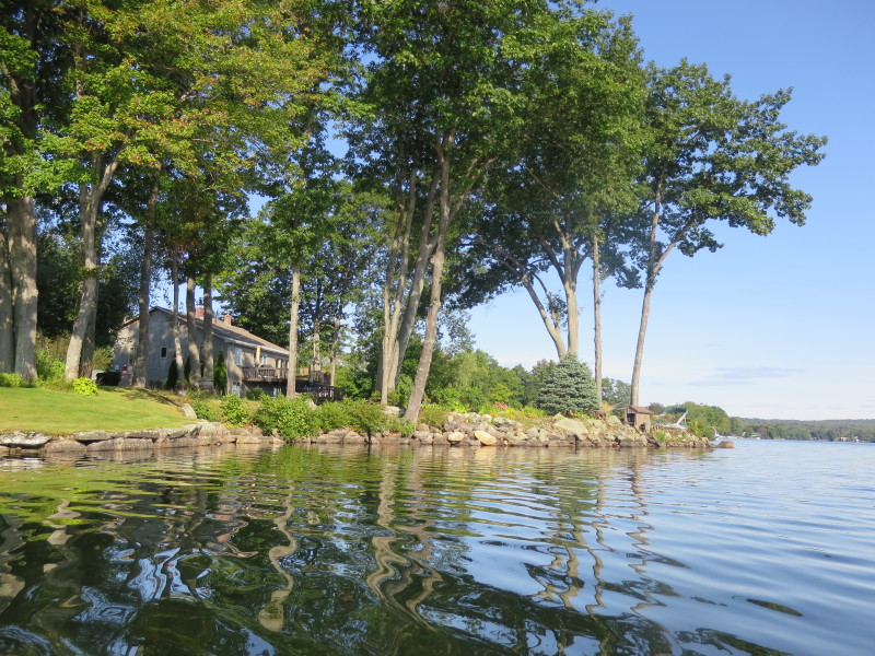
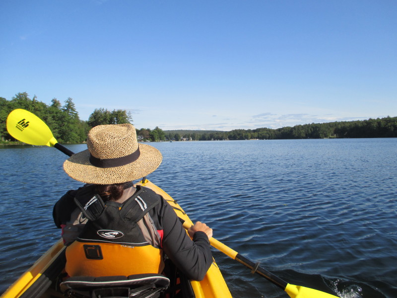
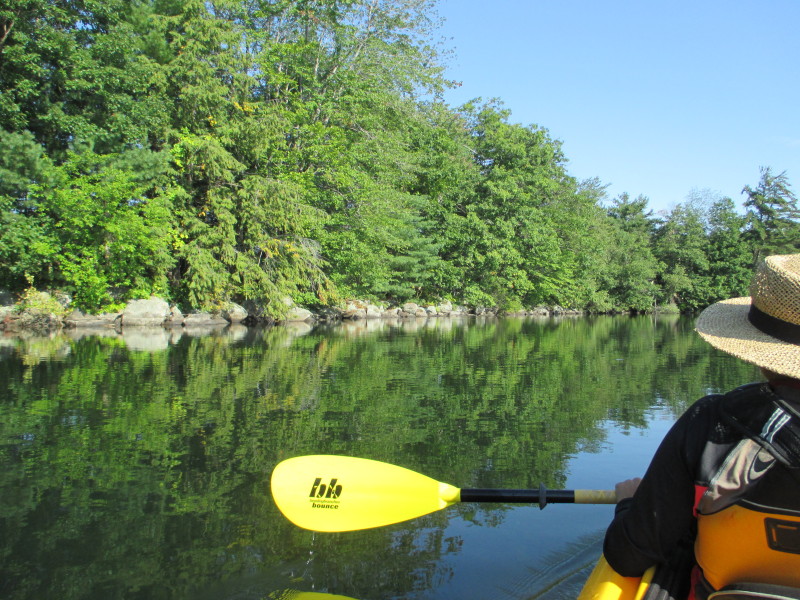
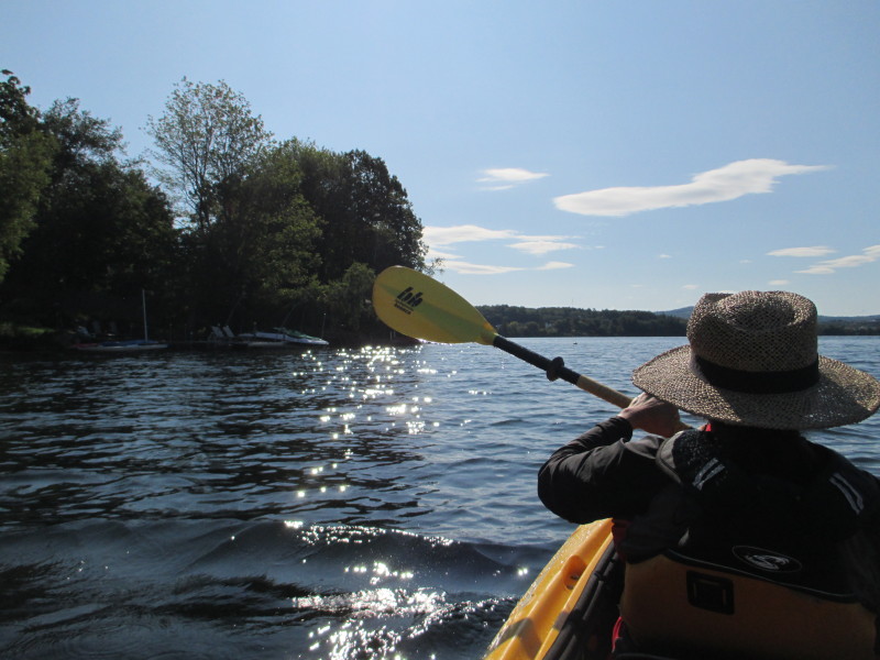
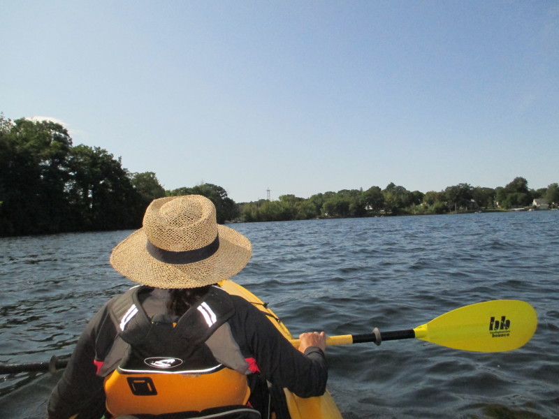
 Will keep the close to the shore on left the whole trip.
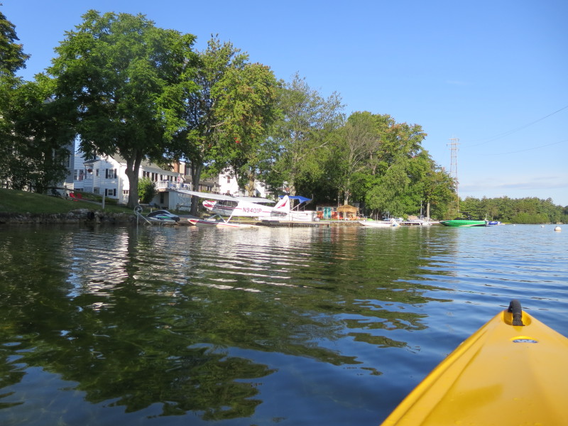 A very small airplane parked on the banks of Opechee Bay.
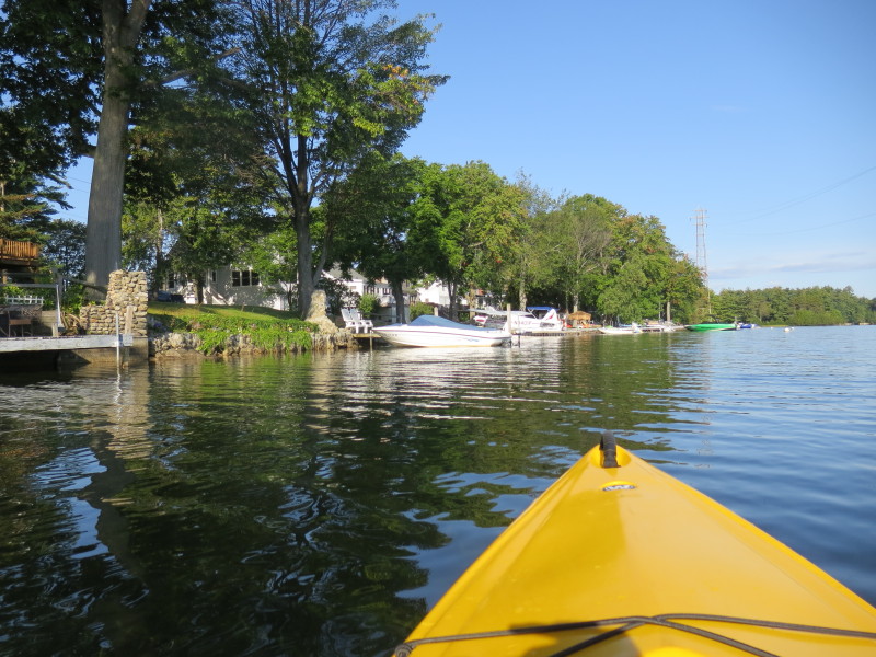
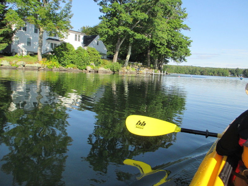
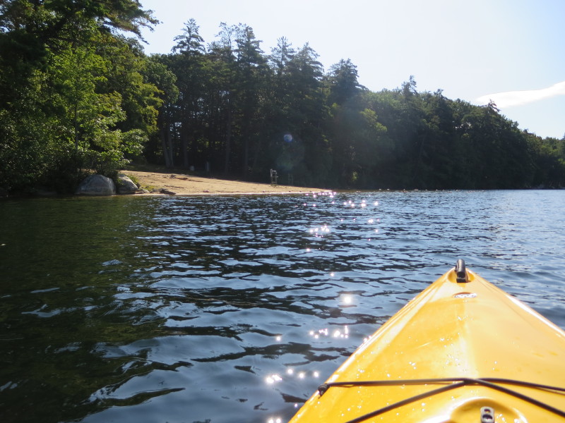
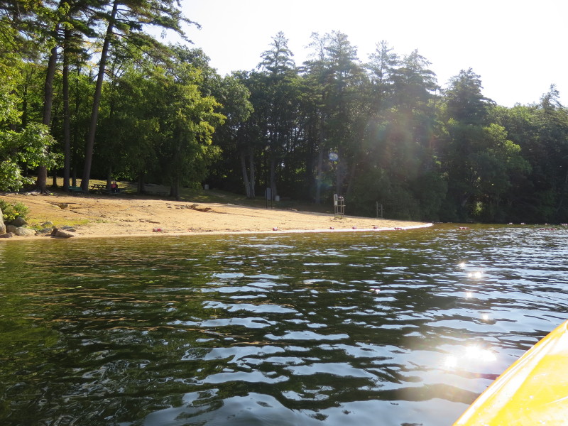
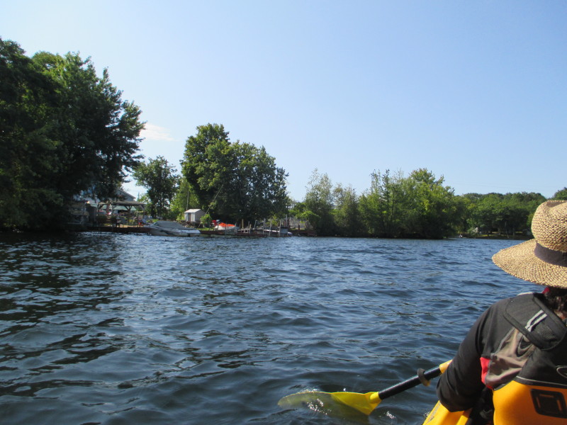
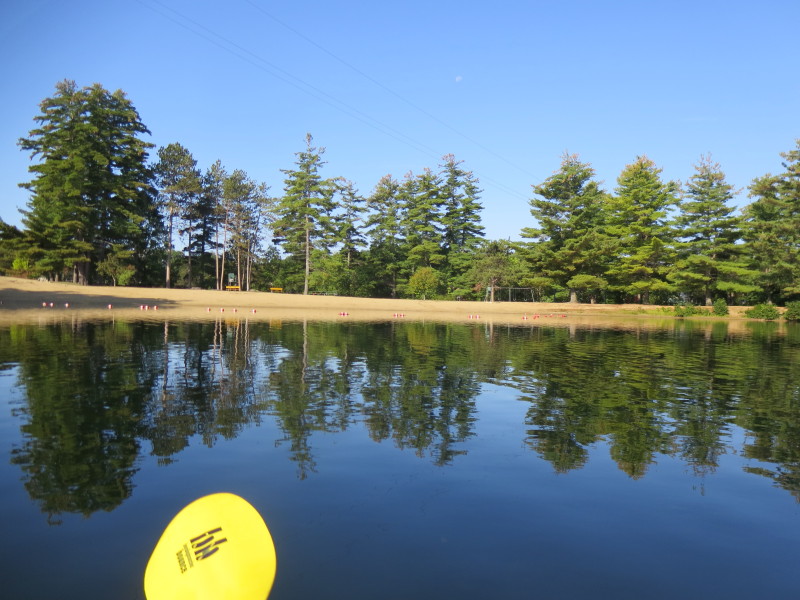 On left is the Opechee Park beach. It is mid-September and now too cold to enjoy the water.
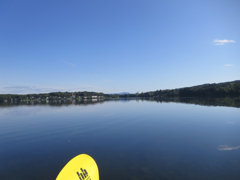
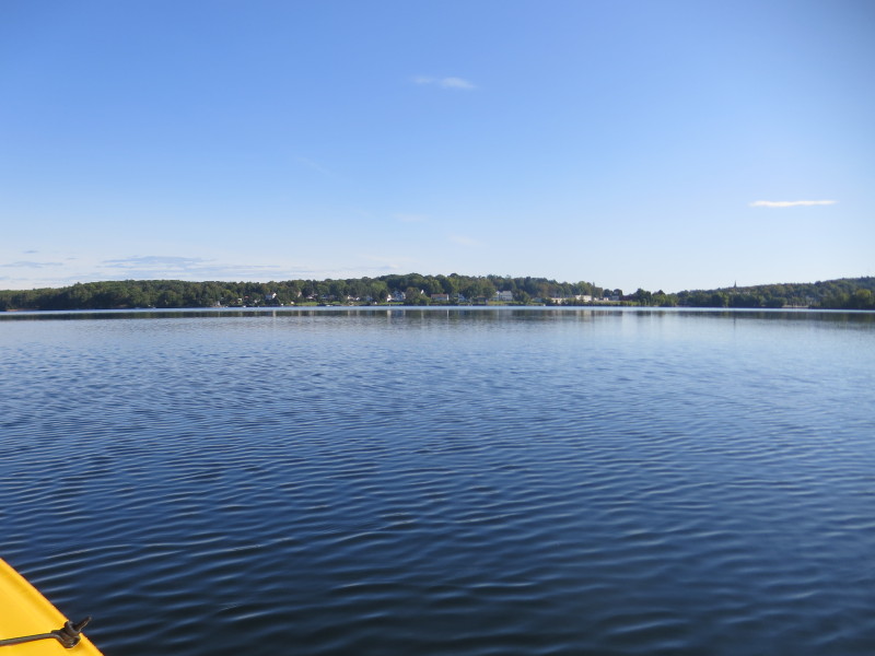
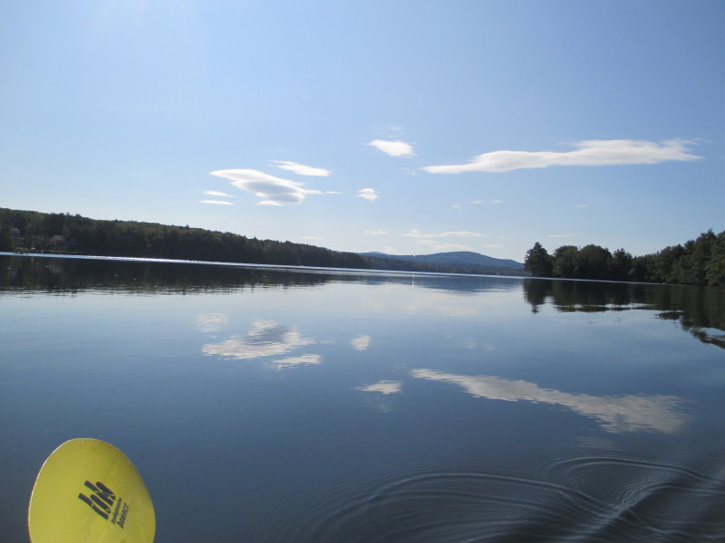
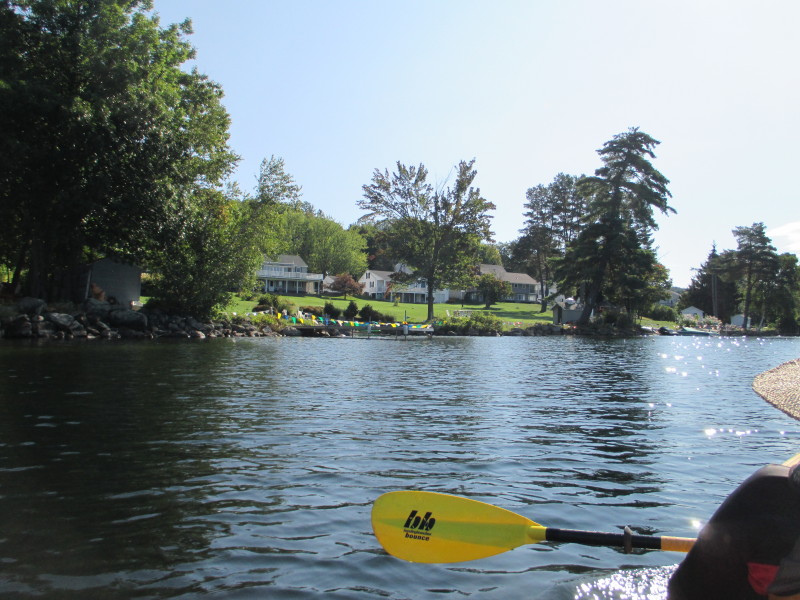
 At middle of picture is the northern end of Opechee Bay.
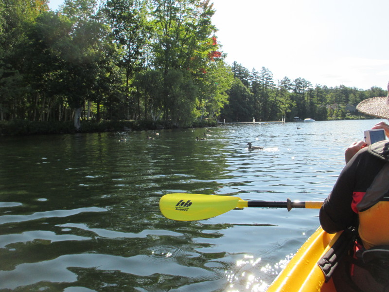
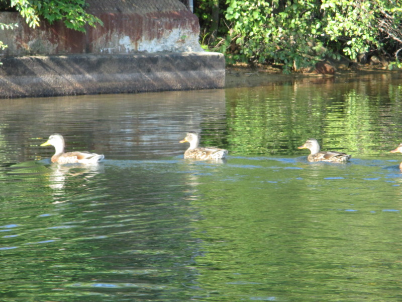 Ducklings on Opechee Bay.
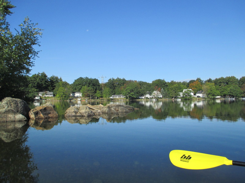 Rocks on Opechee Bay.
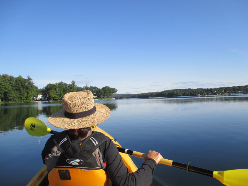
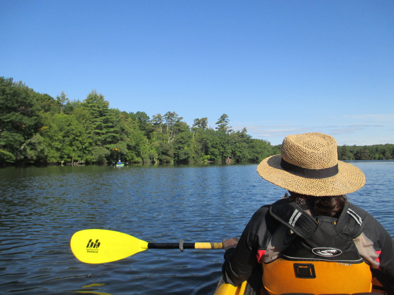
 The Boston Kayaker at the back of the tandem kayak on Opechee Bay.
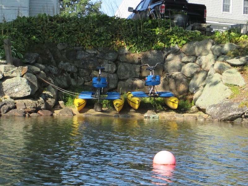 I would like to try those bike kayaks someday . . .
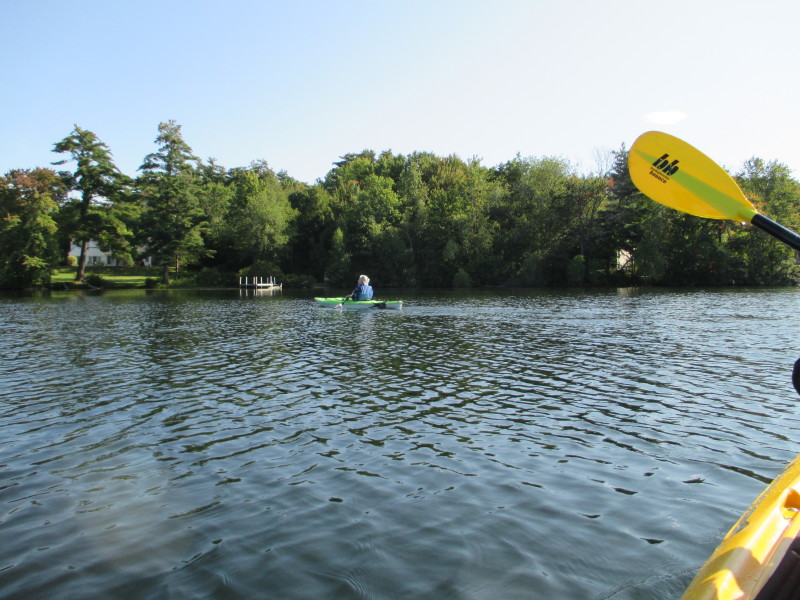
 Another kayaker on the Opechee.
 On left is the northern end of Opechee Bay.
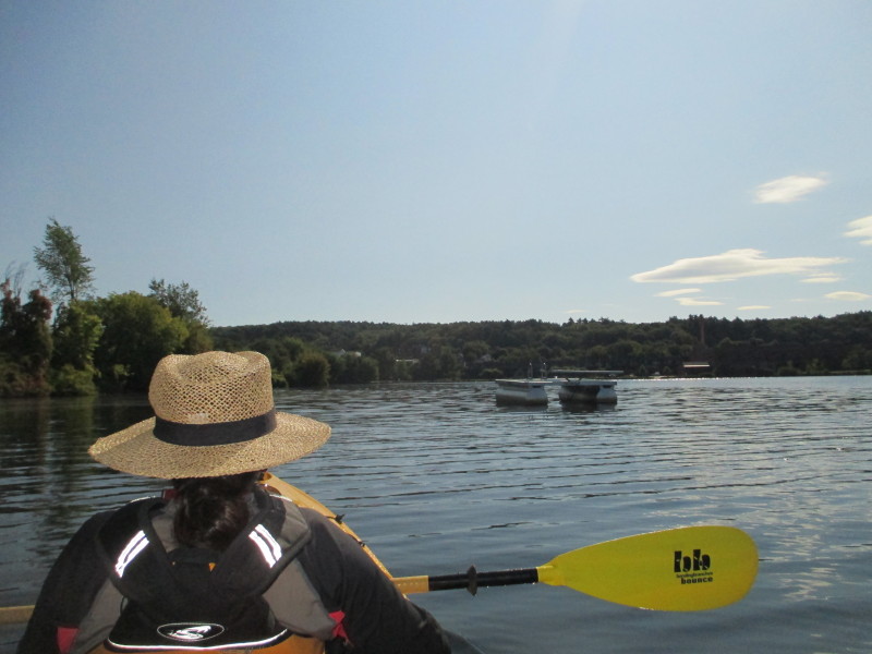
 Looking to our left, the rest of Opechee Bay seen from the north end.
 At center of picture is the small cove at the north tip of Opechee Bay.
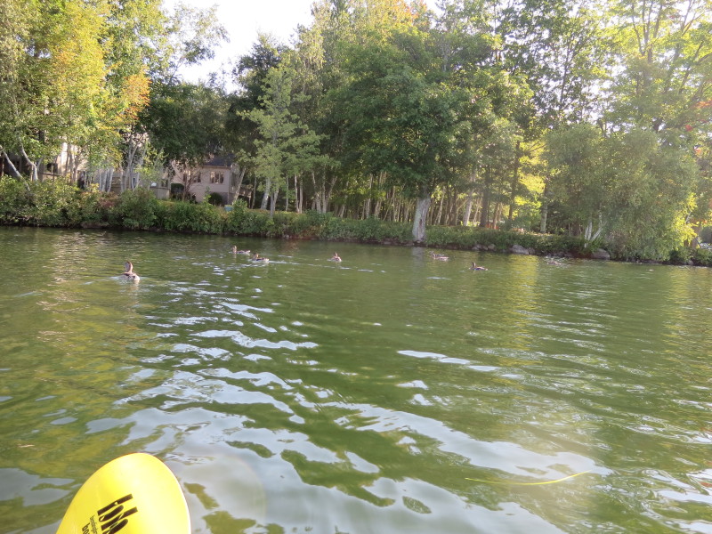
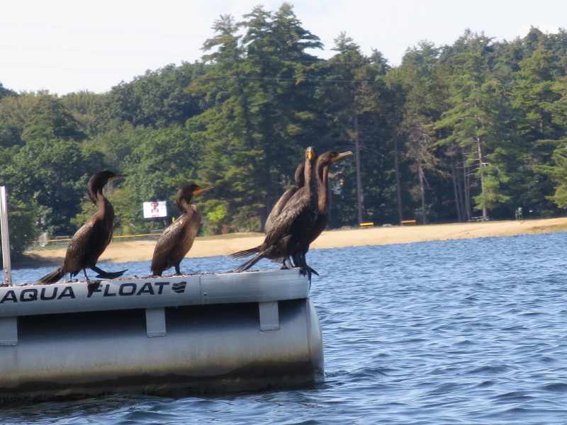
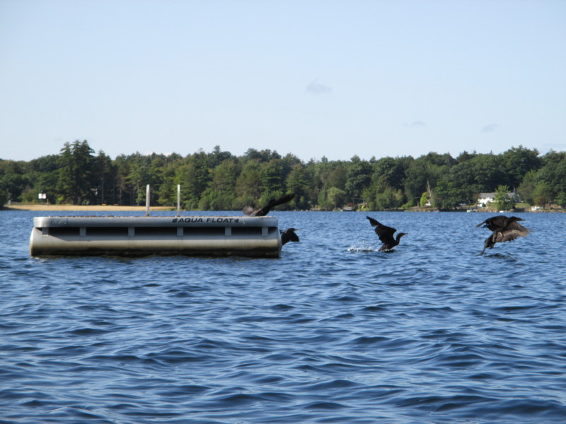
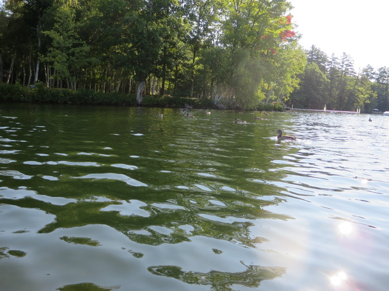 Ducks.
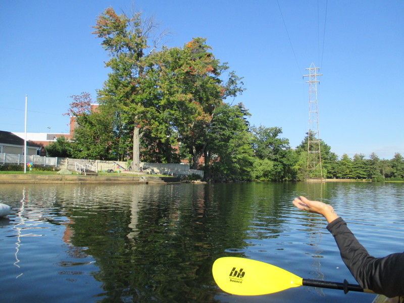
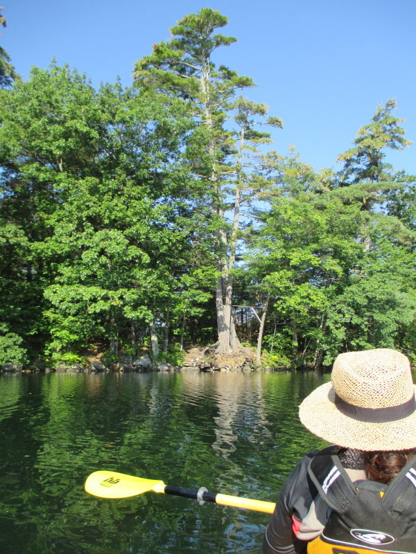
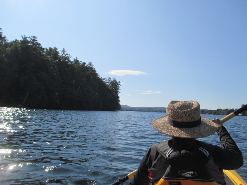
 Just rounded the north end. Beginning of eastern shore on left.
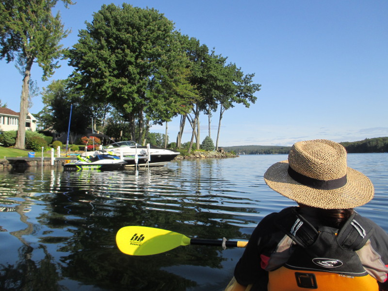
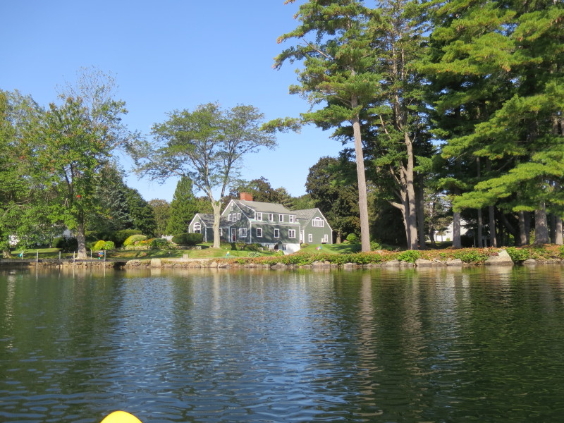
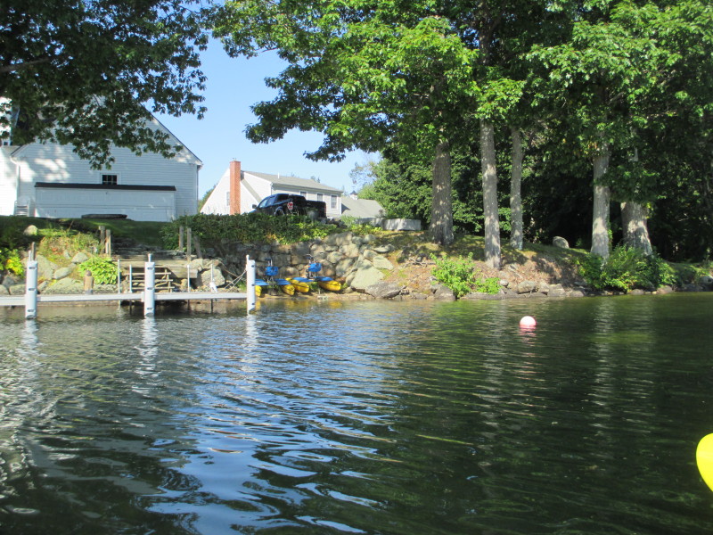
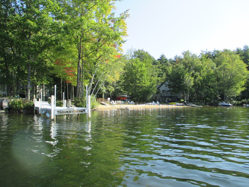 A private beach.
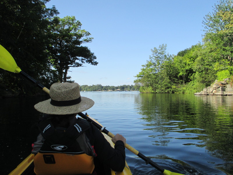
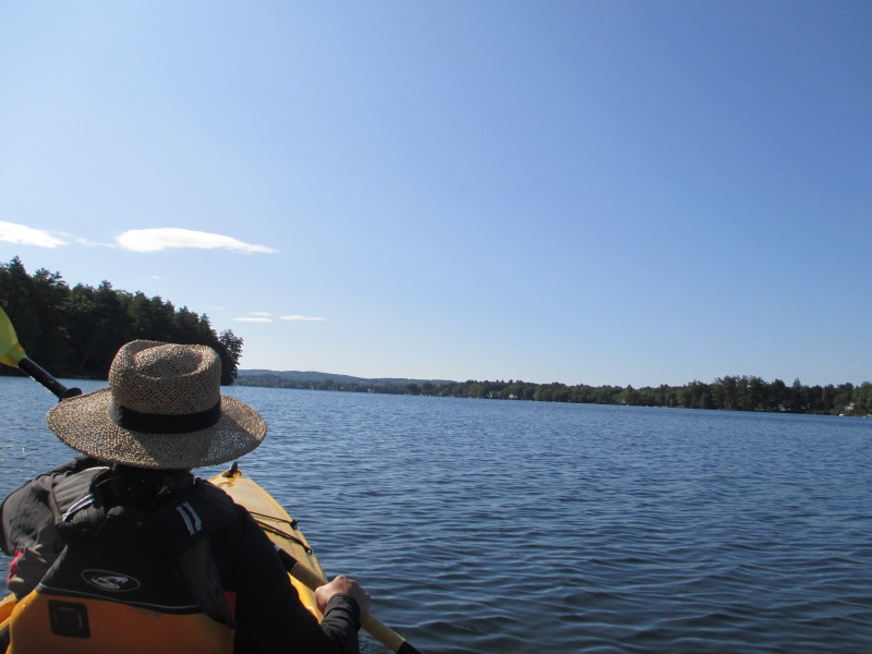 Paddling southwards.
 Bond Park beach.
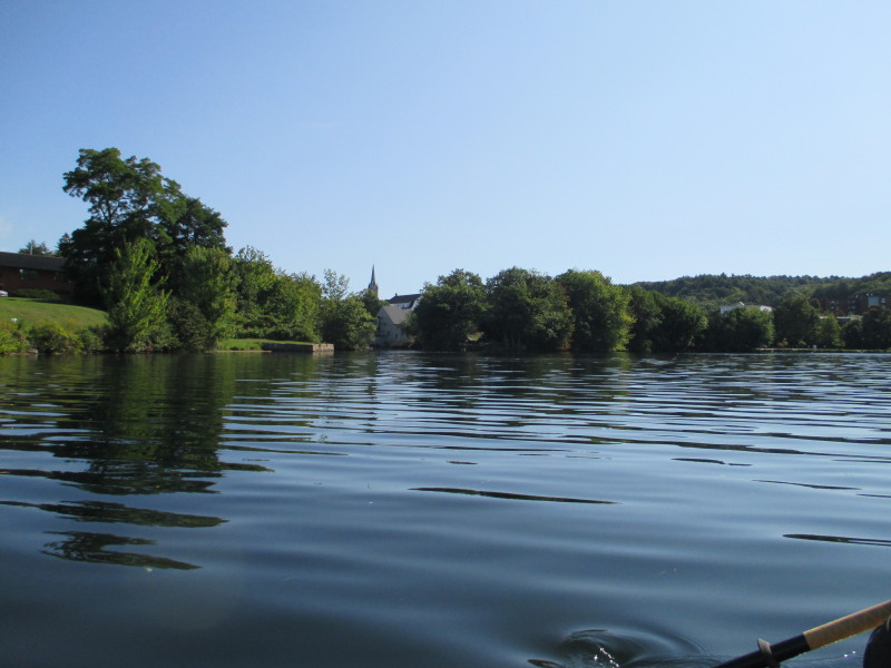 On right is the cove to the bottom of Lakeport Dam.
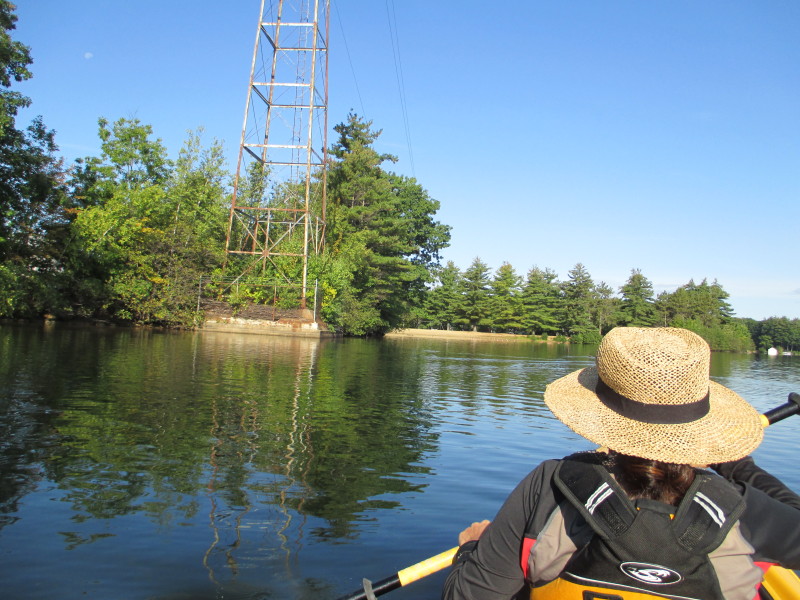
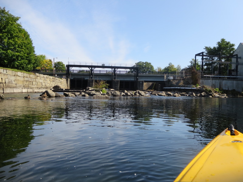
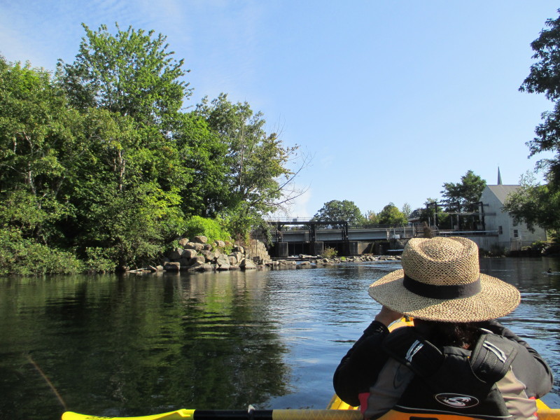 Approaching Lakeport Dam.

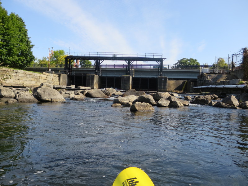 At the bottom of Lakeport Dam.
 Just turned away from the dam.
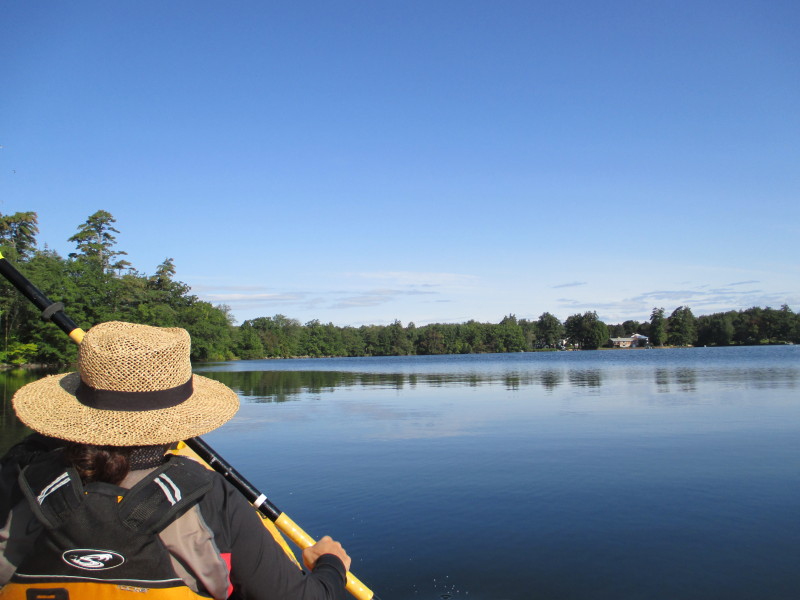
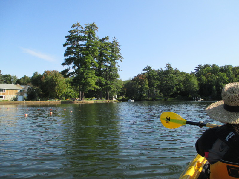
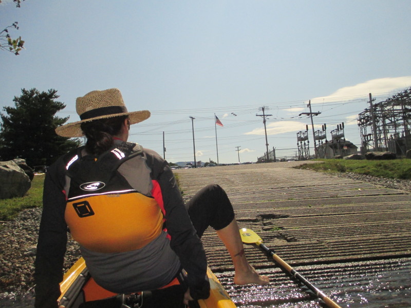
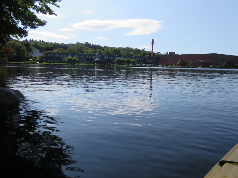 Just south of the dam is the Winnipesaukee Exposition Center.
 IMG_8574.JPG 20170910100628
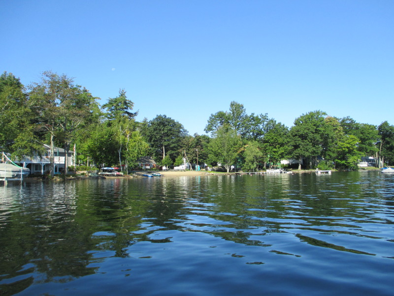
 At right on the other shore is the Opechee Park beach.
 The town ramp is on a small cove and will not be seen until its very close.
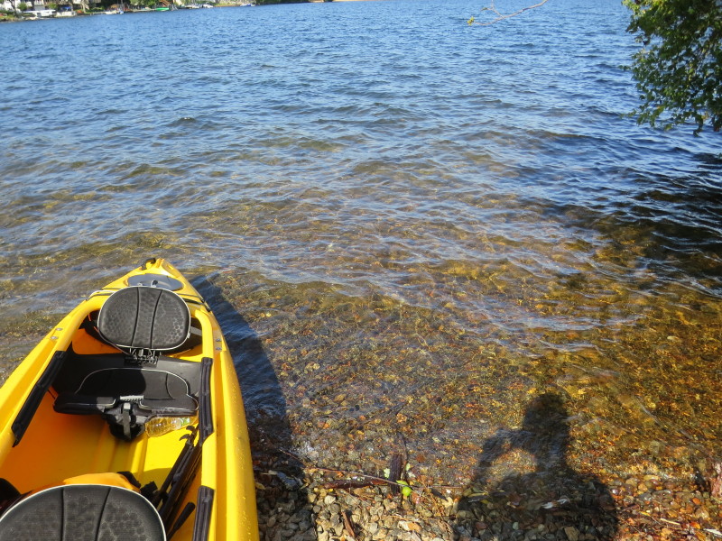
 Landed.
 Paddle time is 1 hour and 22 minutes.
|