|
Download printer-friendly
PDF version that fits in one page: |
Other resources:
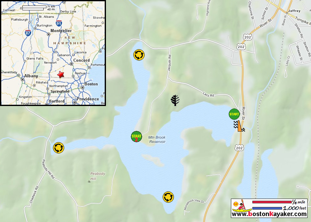
NH Wildlife: Mountain Brooks Reservoir Topographic Map All photos in this website are original and copyrighted. The access to Mountain Brook Pond is by the bridge on Route 202 in Jaffrey NH. Trip date is October 2018. This is from the Boston Kayaker's wife camera. Looking to the left from the launch is the top of the dam and Route 202. The skies are gray and we just tried our luck weather-wise. Paddling westwards away from the launch. The leaves are now changing to their autumn colors. This is now from my camera. My wife's kayak a small yellow. The Boston Kayaker on Mountain Brook Reservoir. We will follow this coast on right. We are about to enter another arm of Mountain Book Reservoir following the shore on right. We will paddle this arm northwards to its end. Some trees are already at their peak autumn colors. The Gilmore Pond Road bridge marks the north end of this arm. Turning around . . . Now paddling southwards back. On left is the corner we will follow. In the background is the one of the arms. We are now within site of the Route 202 bridge where we came from. Landed. Paddle time is 1 hour 8 minutes. The Mountain Brook Reservoir dam just beside Route 202 bridge. |