|
Download printer-friendly
PDF version that fits in one page: |
Other resources:
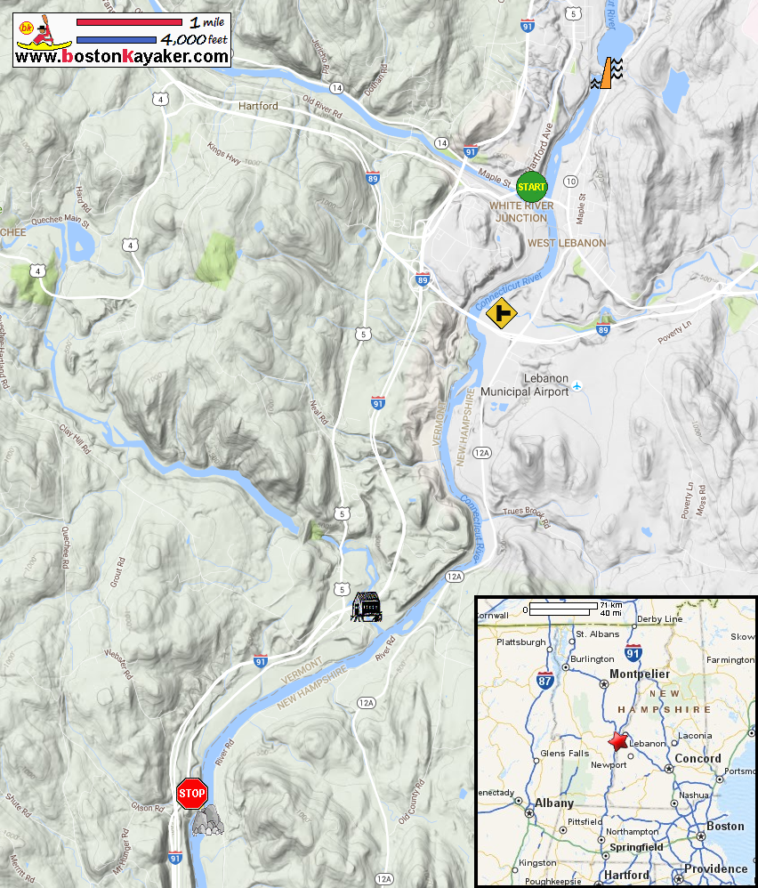
Connecticut River Paddlers' Trail Connecticut River Joint Commissions: Map 8 Upper Valley webpage Connecticut River Joint Commissions: Map 8 Upper Valley map Connecticut River Joint Commissions: Map 8 Upper Valley (cached copy) All photos in this website are original and copyrighted. At the town hall on Maple Street in Hartford VT. Lyman Point Park access to Connecticut River is behind this building. Pictures at put in taken July 2016. Lyman Point Park. The path to the river at Lyman Point Park. The put in to Connecticut River from Lyman Point Park in White River Junction VT. Looking upriver from Lyman Point Park. Looking downriver from Lyman Point Park. Now at the take out on Route 5 in Hartland VT just north where I-91 goes over Route 5. Pictures at take out taken October 2016. At the end of the unnamed dirt road is the access to the Connecticut River. The path to the take out before Ledge Island. Following the path to the water. I am standing on bit parts of Ledge Island. Take out is at left of picture. The "portage" sign on the take out beside the Ledge Island. Ledge Island. Once you go the the channel in middle, there is no turning back as the river flows fast! The Connecticut River constricted at Ledge Island. The Connecticut River becomes Sumner Falls here as it drops a few feet. |