 Kayaker

| |||||||||||||||||||||||


|
Download printer-friendly
PDF version that fits in one page: |

|
|
Other resources:
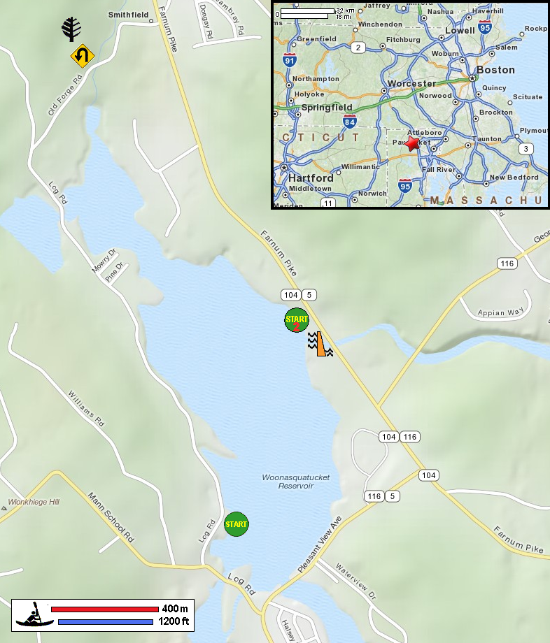
Explore RI's Blueways and Greenways: Woonasquatucket Reservoir & Stillwater Pond Map and Paddling Guide Explore RI's Blueways and Greenways: Woonasquatucket Reservoir & Stillwater Pond Map and Paddling Guide (cached copy) Explore RI's Blueways and Greenways: Woonasquatucket Reservoir Access (west side) Explore RI's Blueways and Greenways: Woonasquatucket Reservoir Access (east side) Woonasquatucket River Watershed Council Woonasquatucket River Watershed Council Trip 1 Woonasquatucket River Watershed Council Trip 2 All photos in this website are original and copyrighted. 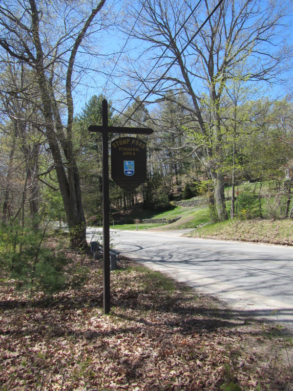
At the Stump Pond launch on Log Road in Smithfield RI. Trip date is May 2013. My first kayak outing for this year! 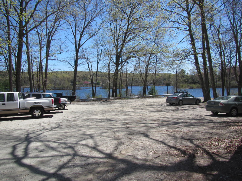 Parking lot is plenty.
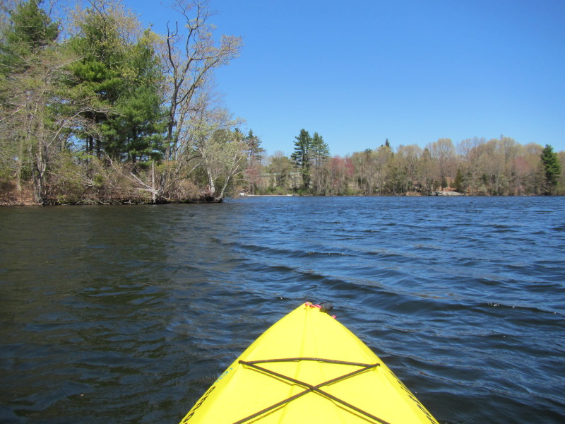
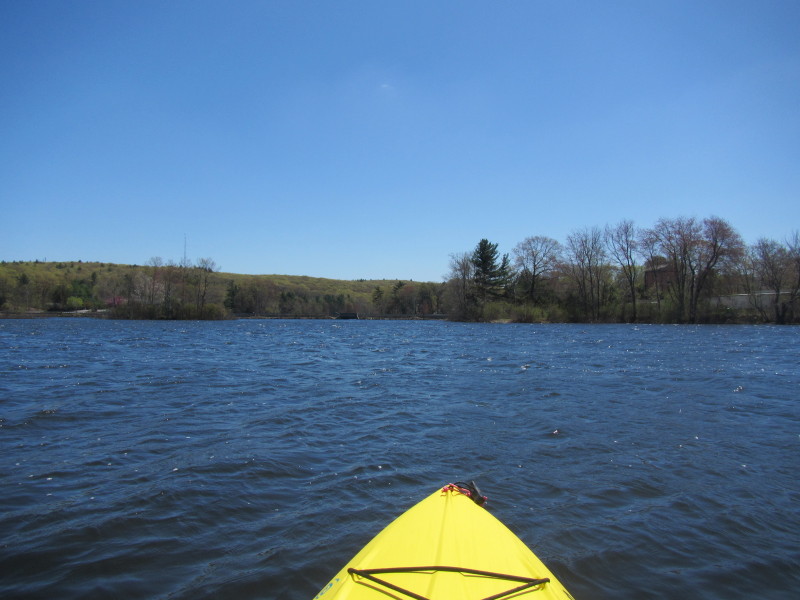 Just Launched on Woonasquatucket Reservoir, a.k.a. Stump Pond.
I launched as indicated in the route map above.
Just Launched on Woonasquatucket Reservoir, a.k.a. Stump Pond.
I launched as indicated in the route map above.
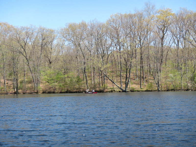
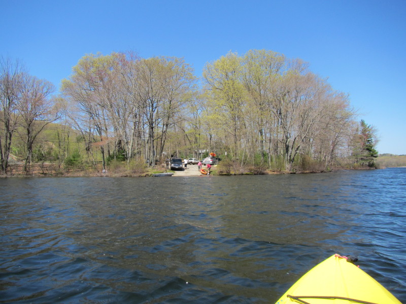
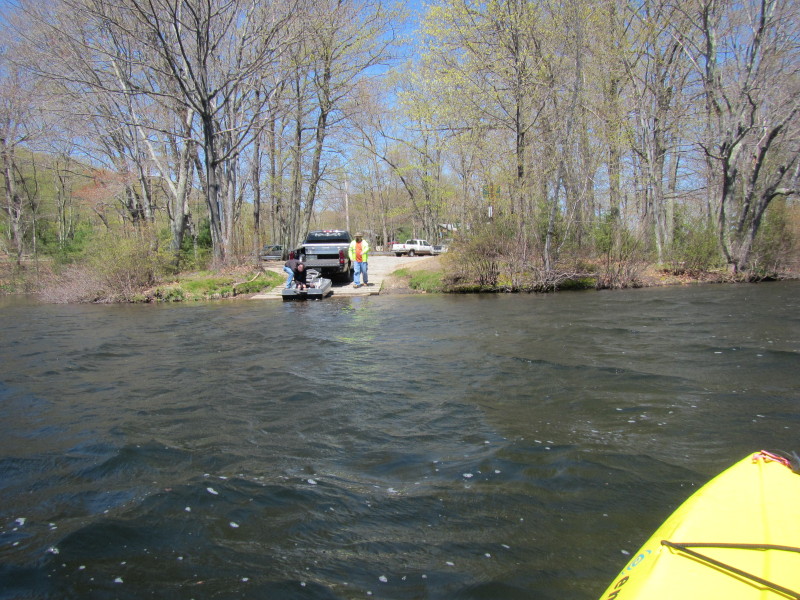 Looking back at the launch where come from, another couple launching a fishing boat.
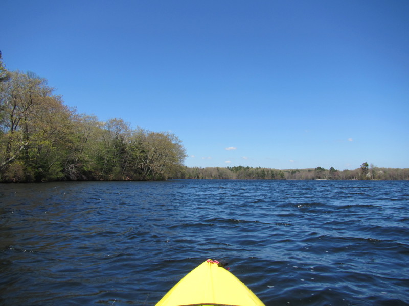
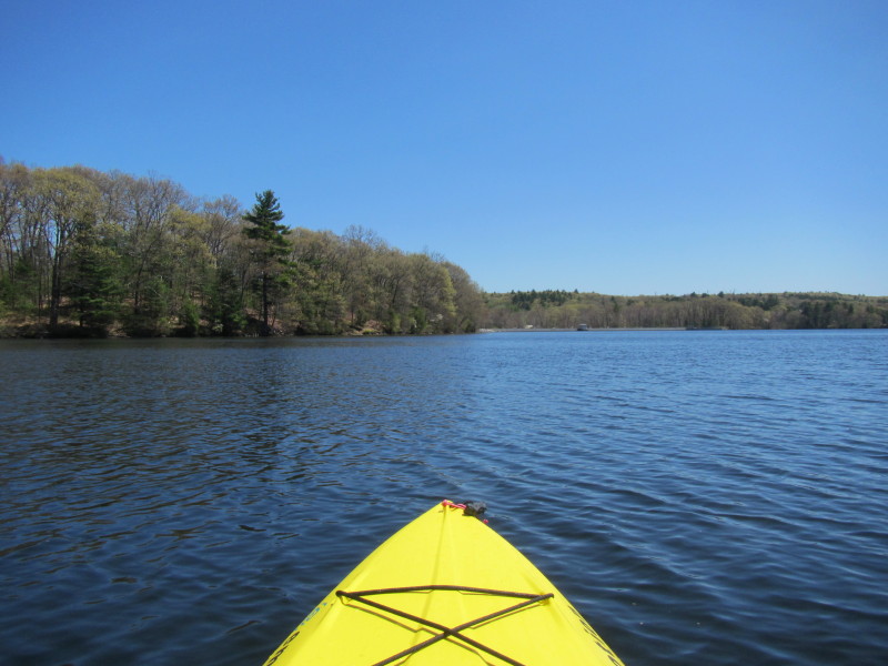
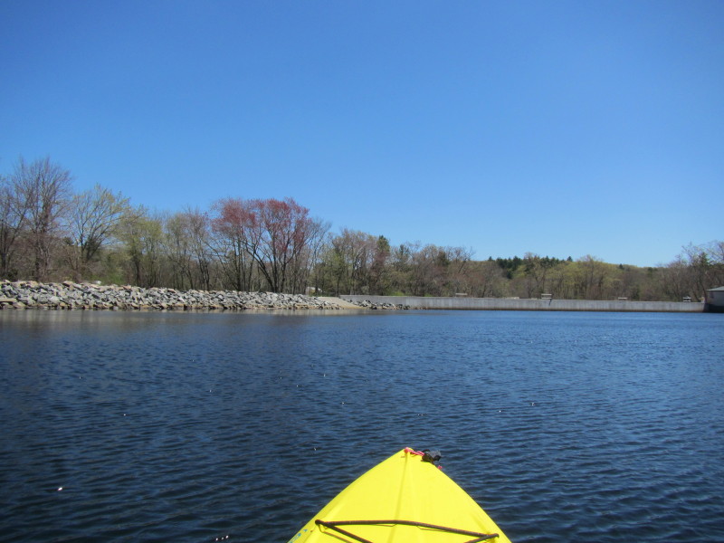
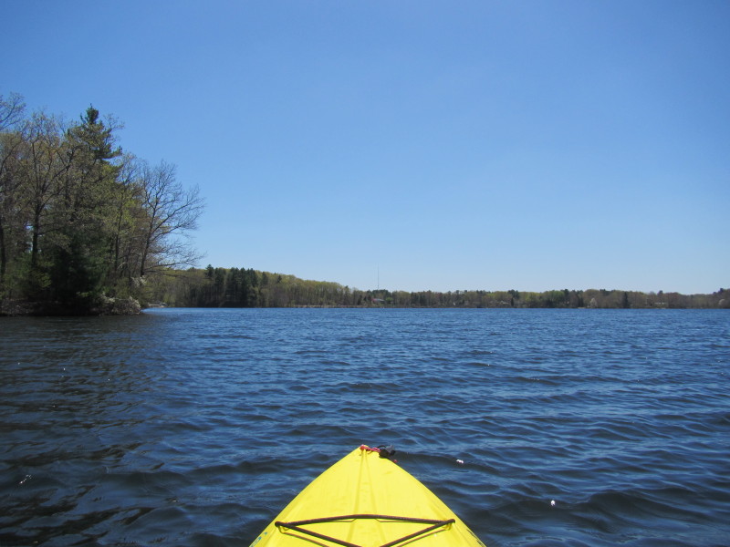
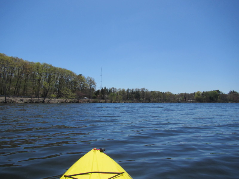
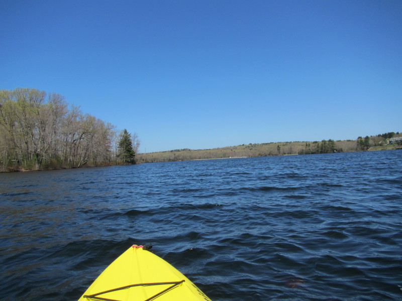
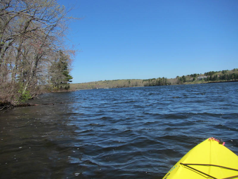 I am heading north along the west side of the lake.
The trip plan is to circumnavigate clockwise.
I am heading north along the west side of the lake.
The trip plan is to circumnavigate clockwise.
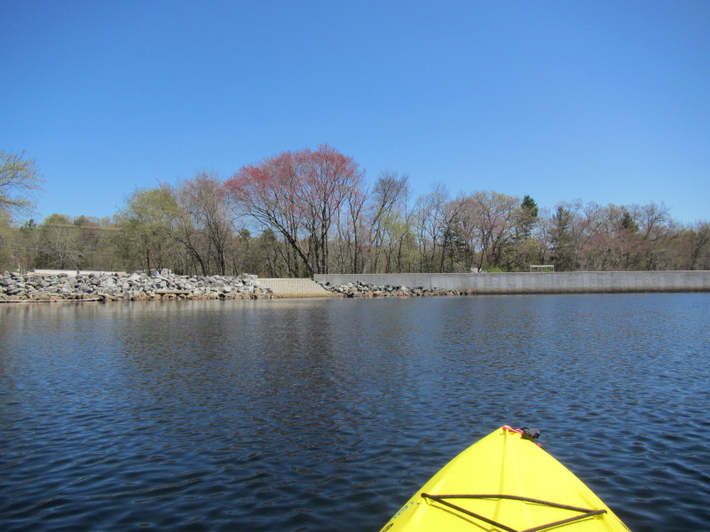
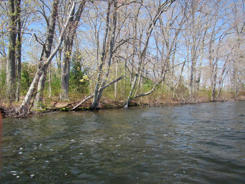 Its the first saturday of May. The leaves are just sprouting . . .
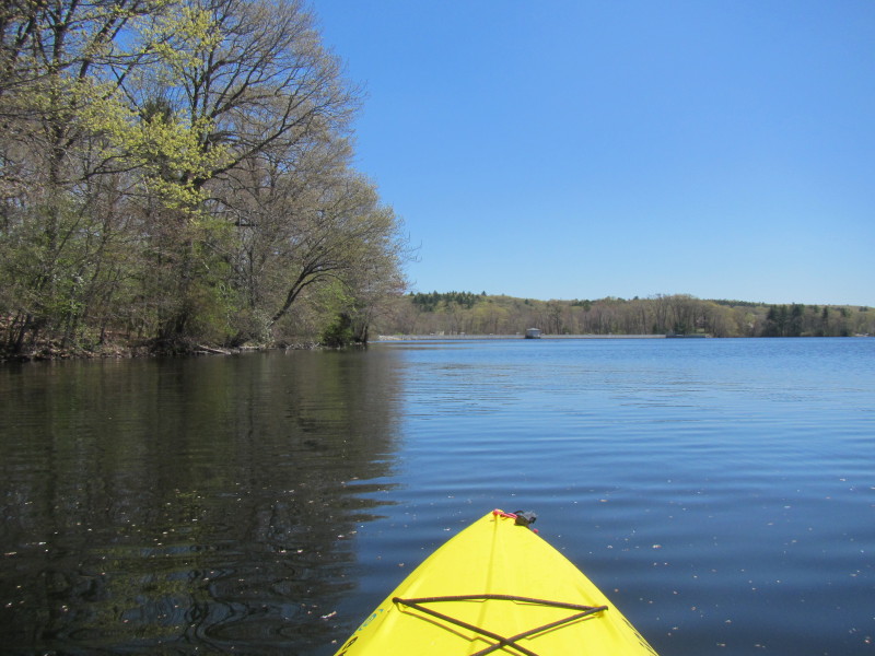
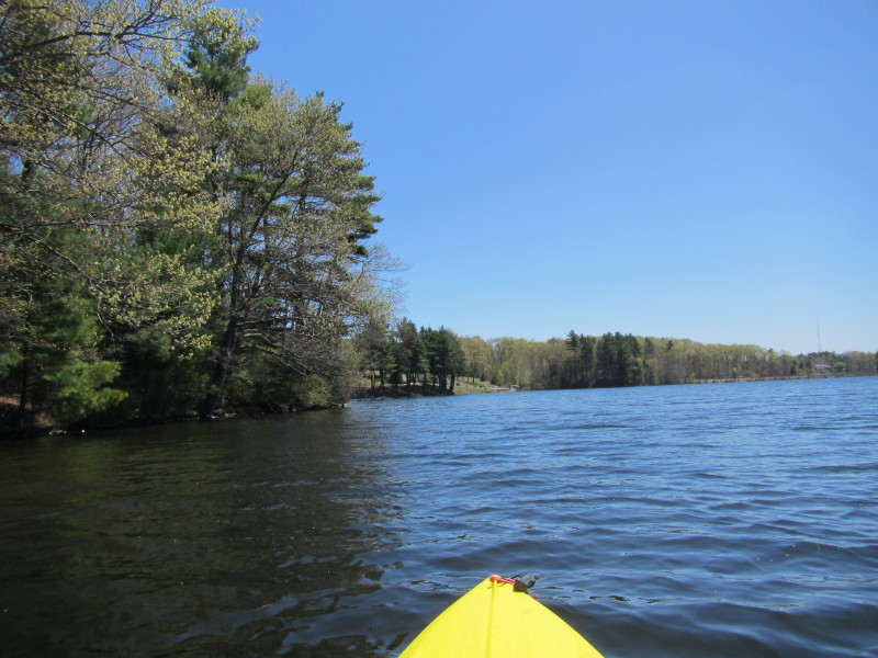
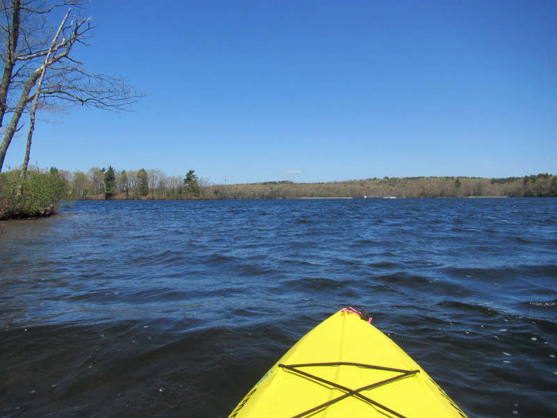 Continuing north hugging the west coast.
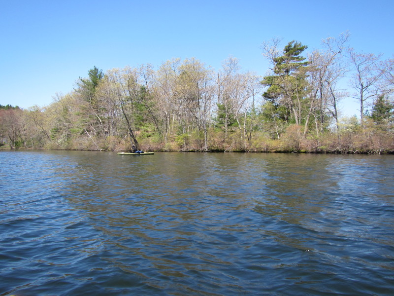 A kayaker/fisherman on Stump Pond.
 Its actually windy and a bit wavy.
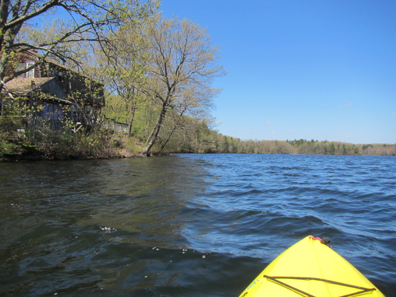 Waterfront residence.
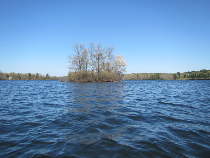
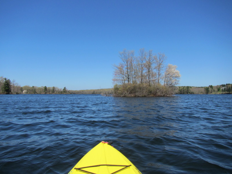
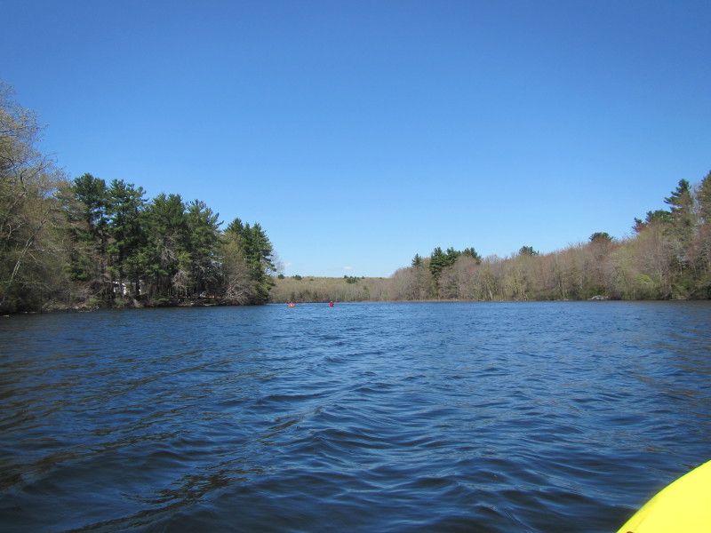 A couple of kayakers coming from the north tongue of the pond.
I am now turning right to the east side of the pond. 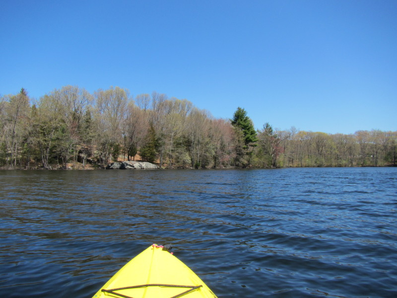 Paddling eastward, I can see that big rock on the east side.
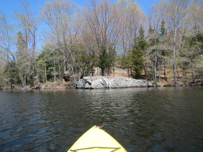 Nice rock.
 Two guys fishing from a canoe.
 Now I am paddling south on the east side.
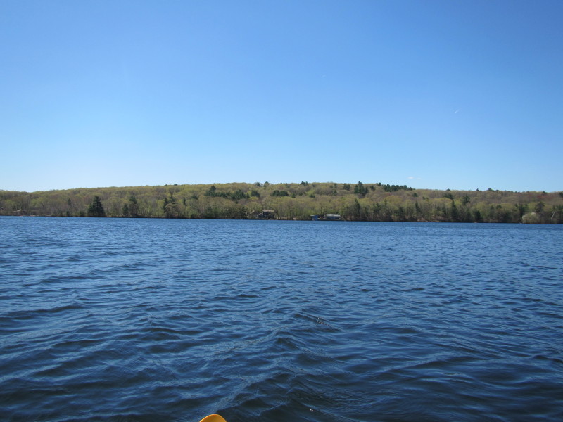
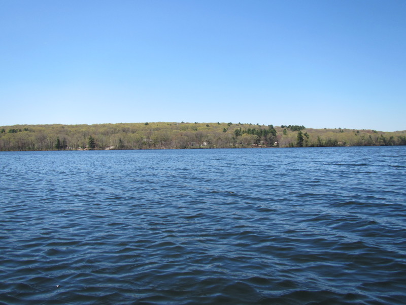
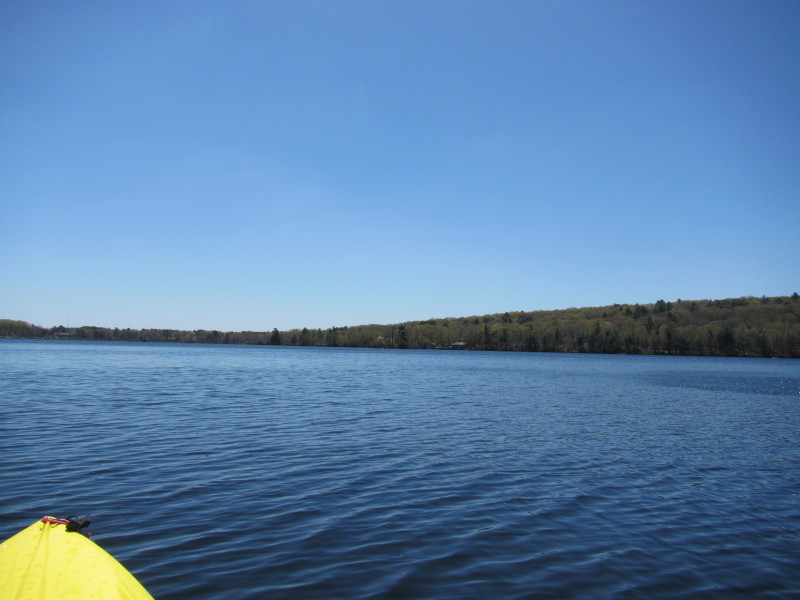 The pond from my northerly position looking south.
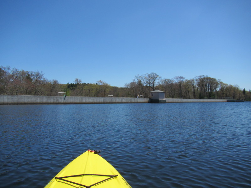
 Hugging the east coast on my left, I can see the dam wall coming up.
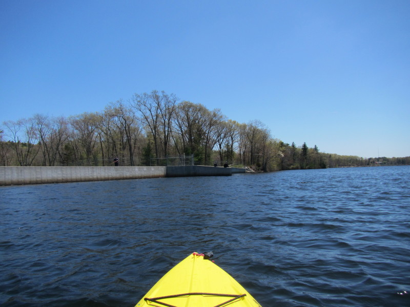
 That is the alternate launch indicated in the Boston Kayaker map.
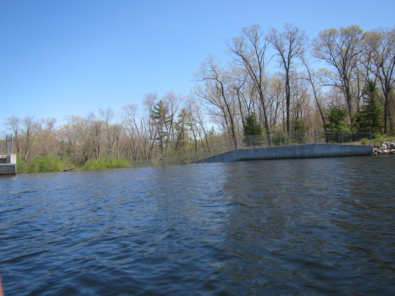
 Water spills at the far end of this wall on my left.
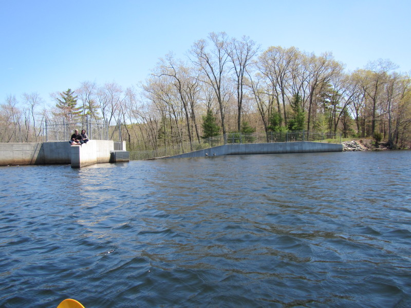 Two fisherman on the spillway wall on the dam.
 Woonasquatucket Reservoir Dam.
 This hillside view of the eastern side from the west.
In 3 weeks time, this same view should be much much greener with leaves.
This hillside view of the eastern side from the west.
In 3 weeks time, this same view should be much much greener with leaves.
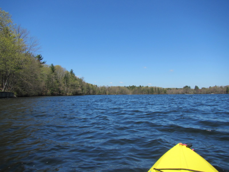
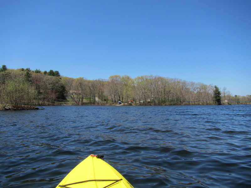
 Continuing my paddle south on the west side of the pond.
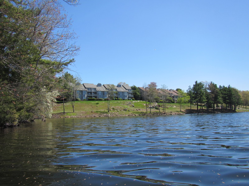 A nice apartment complex with a view of the pond.

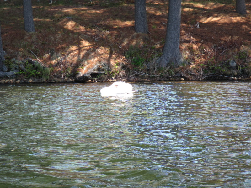 Swan.
Swan.
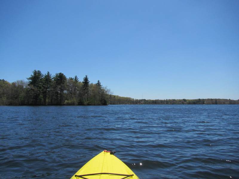
 Look westward.
 Pleasant View Avenue.

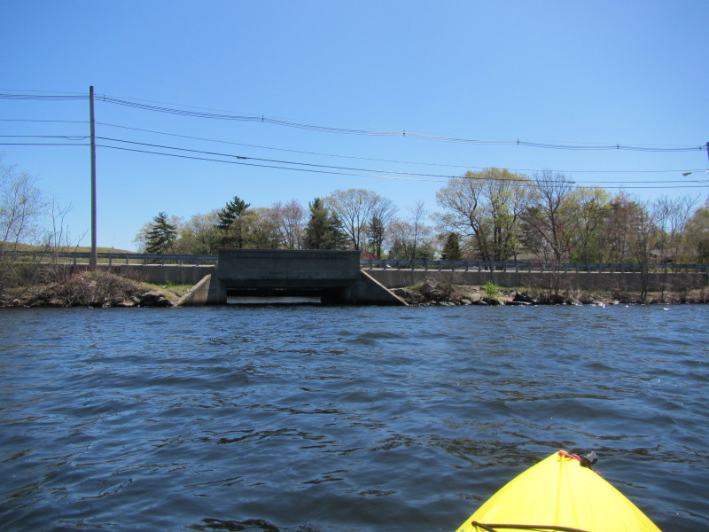 Pleasant View Avenue bridge.
 Looking north from the south end of Stump Pond.
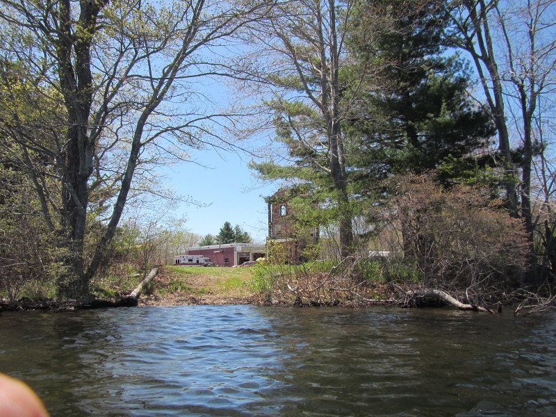 The local fire department.
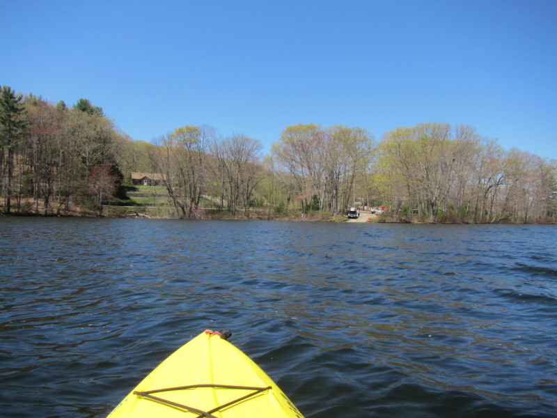
 The launch (and take out) is on my sight.
 One last look at the pond, the dam wall is distant in the center.
 Just before landing. I was on the water for just over an hour.
|