 Kayaker

|


|
Download printer-friendly
PDF version that fits in one page: |

|
|
Other resources:
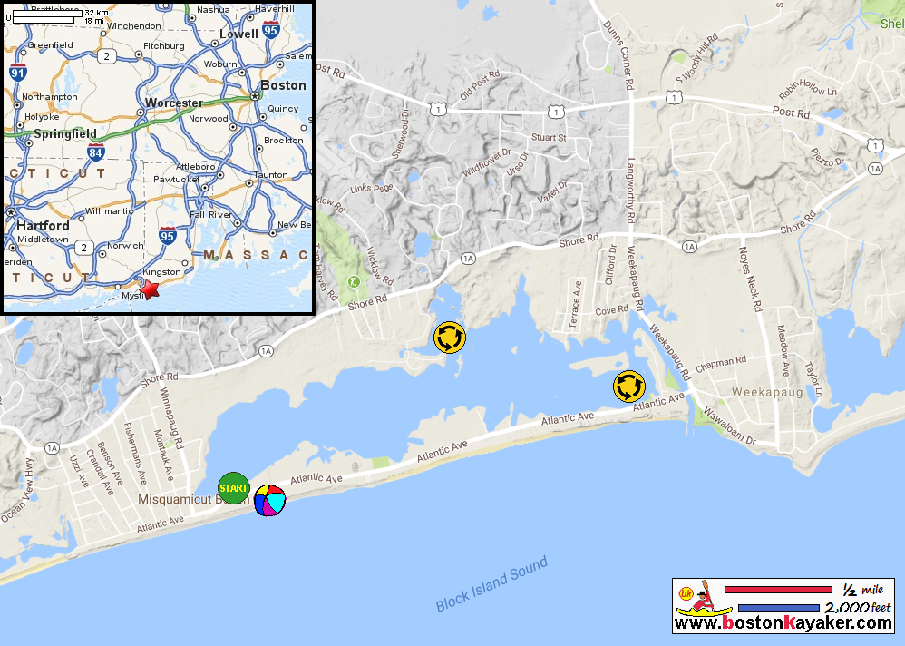
Explore RI's Blueways and Greenways: Misquamicut State Beach Paddling.net: Misquamicut Beach Kayak Trip Report Salt Ponds Coalition Kayak Guide: winnapaug Pond (see page 3) Salt Ponds Coalition Kayak Guide: winnapaug Pond (cached copy) RI Parks: Misquamicut State Beach Wikipedia: Misquamicut State Beach All photos in this website are original and copyrighted. 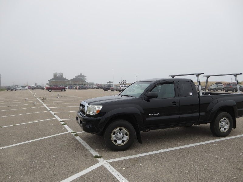 At the Misquamsicut State Beach parking lot on Atlantic Avenue in Westerly RI.
Trip date is September 2017. Post-Labor Day, no parking fee required. 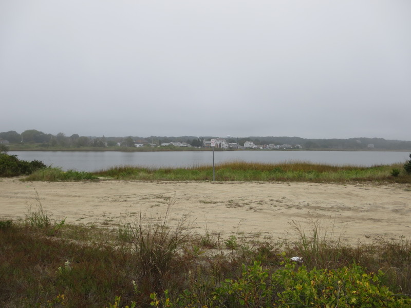 Across the road from the parking lot is the sandy access area to the Winnapaug Pond.
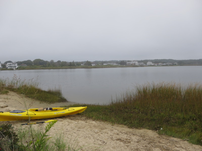 At the put in.
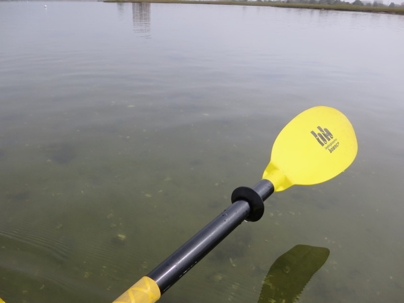
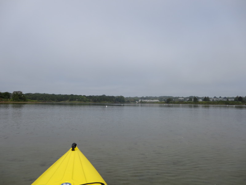
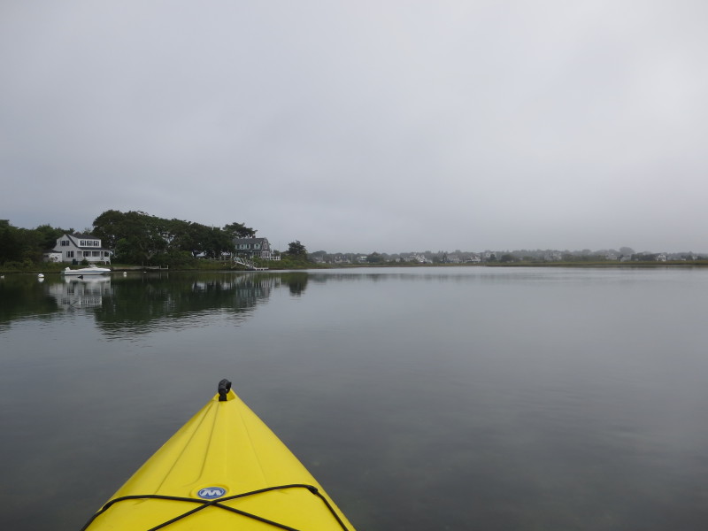
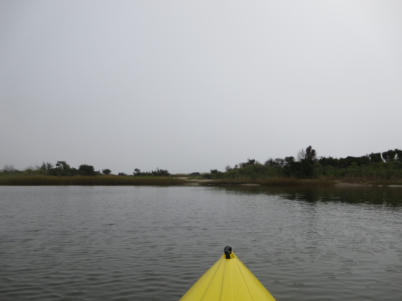
 The Boston Kayaker just launched into the Winnapaug Pond.
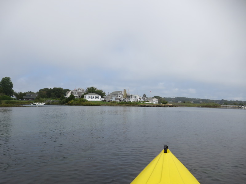
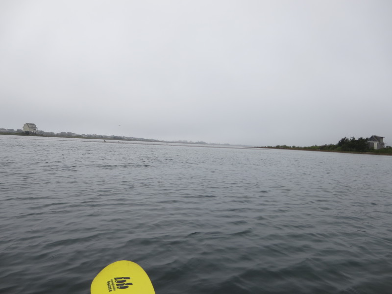
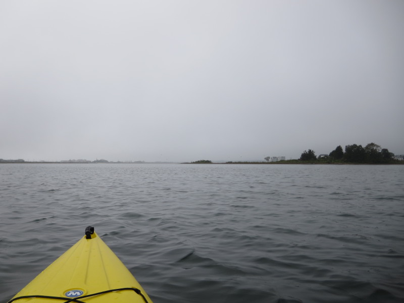
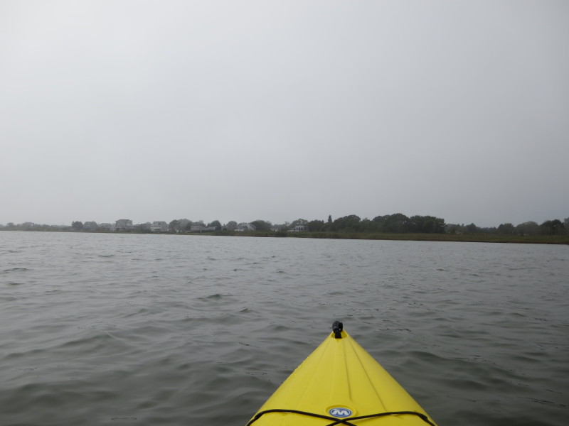
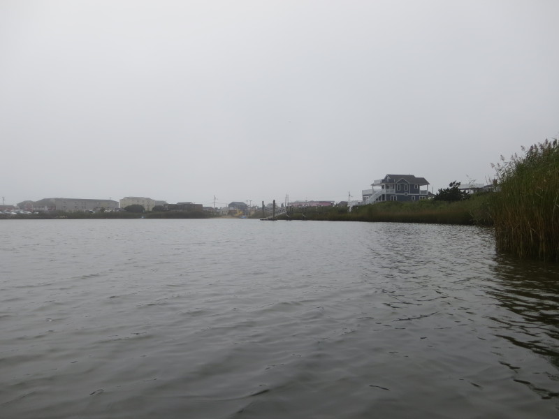
 Veered right eastwards. Will circle this pond counter-clockwise.
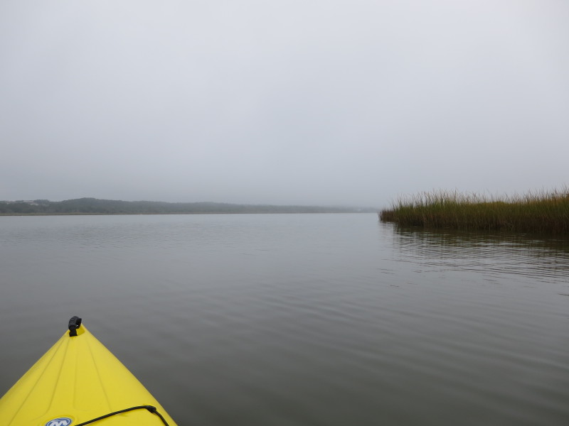
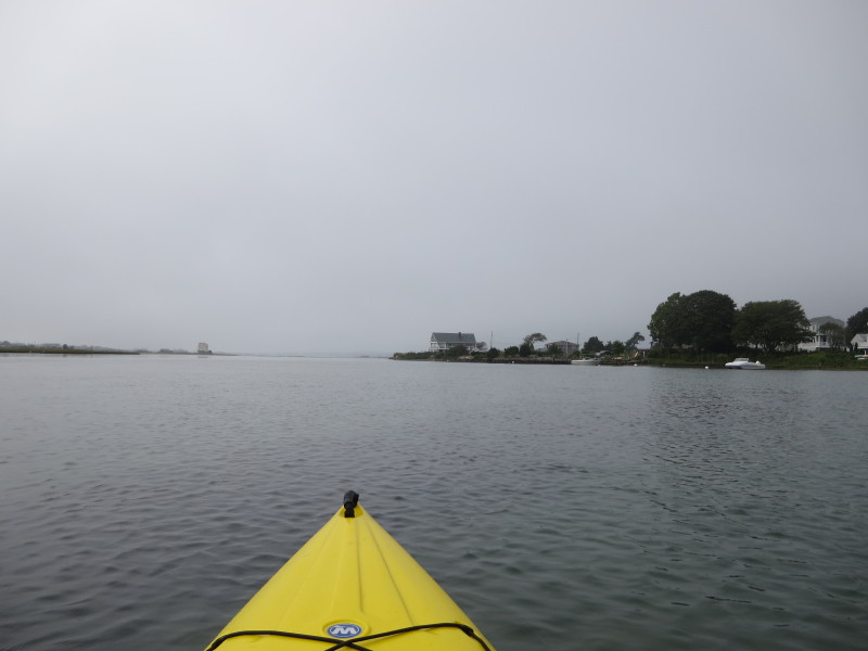
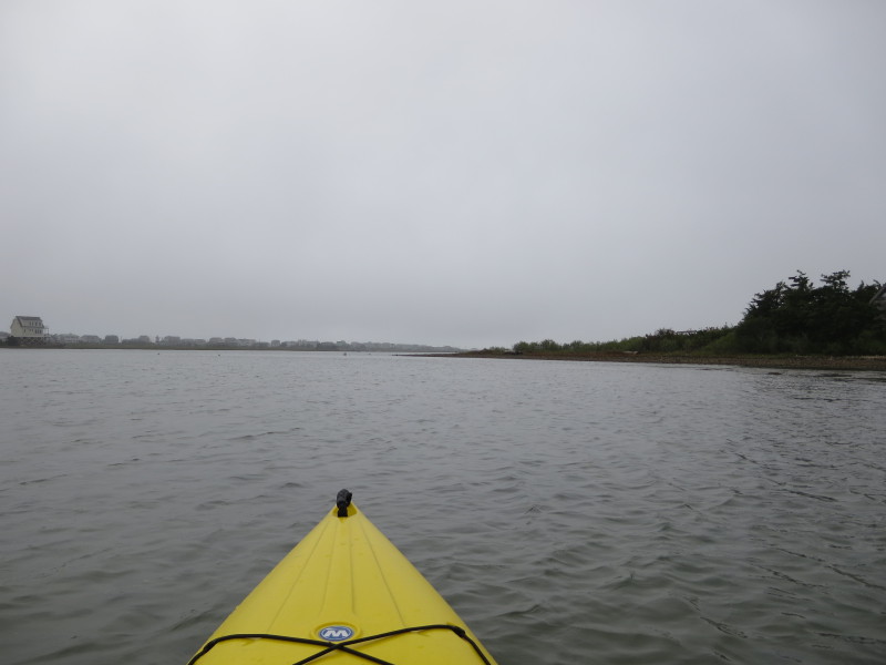
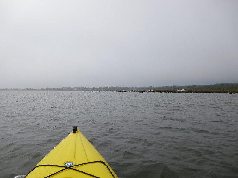
 Will keep close to the shore on my right.
 The power lines on Atlantic Avenue.
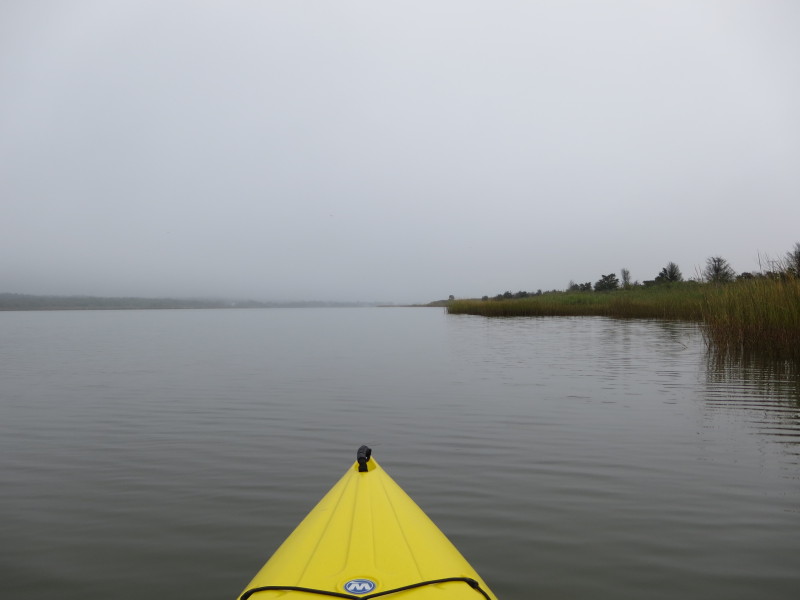
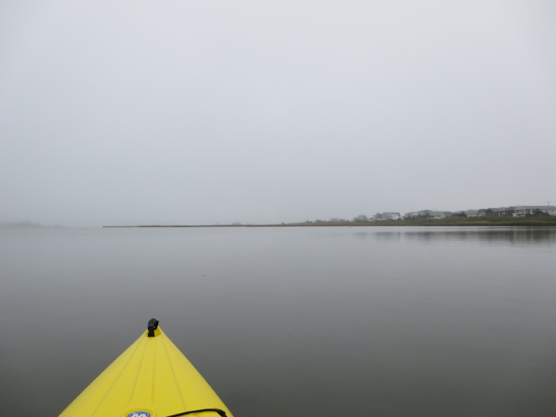
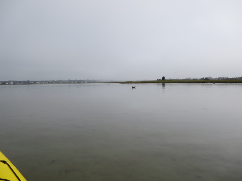
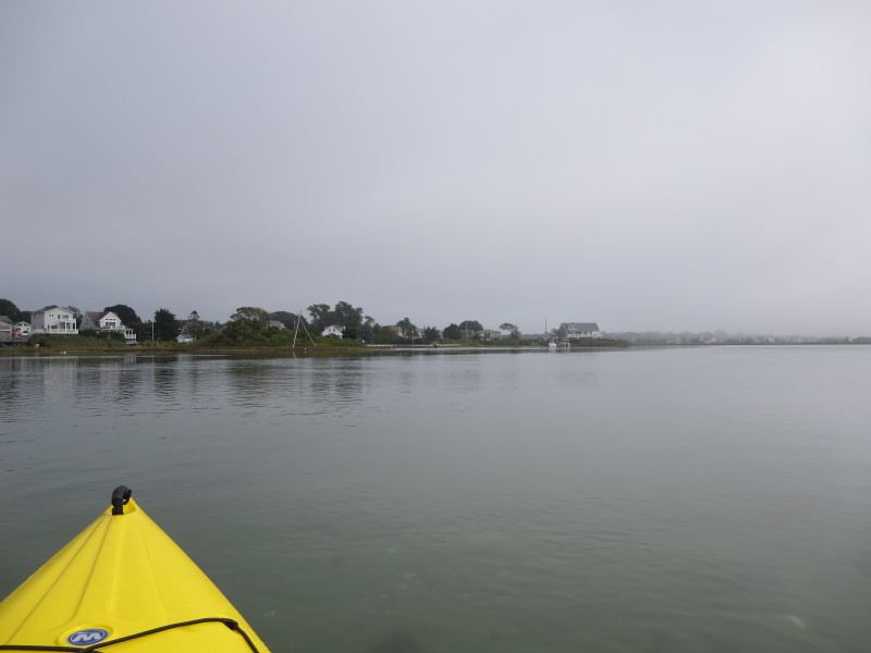
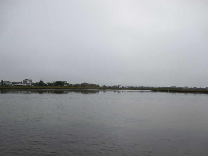
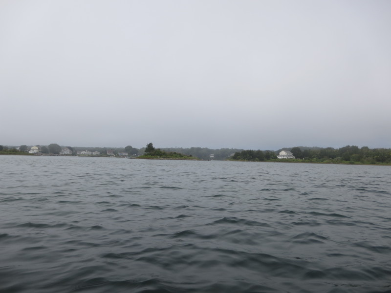
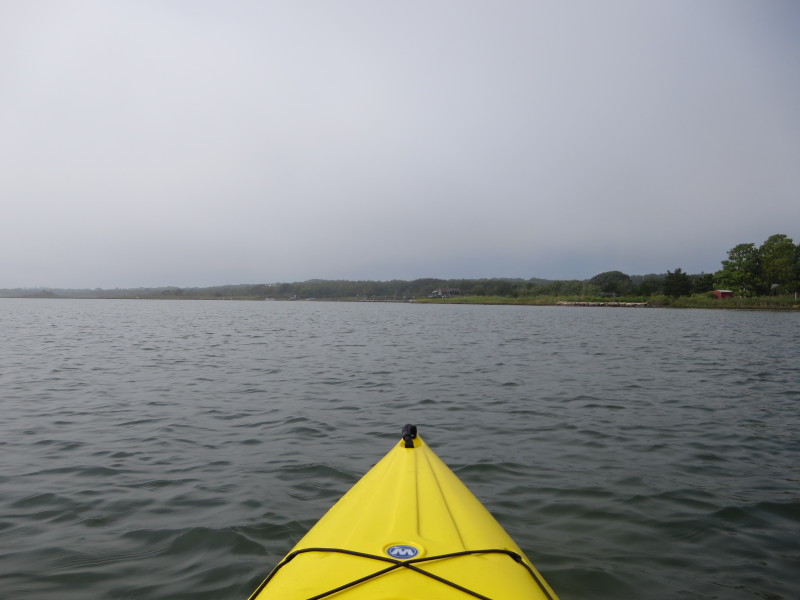
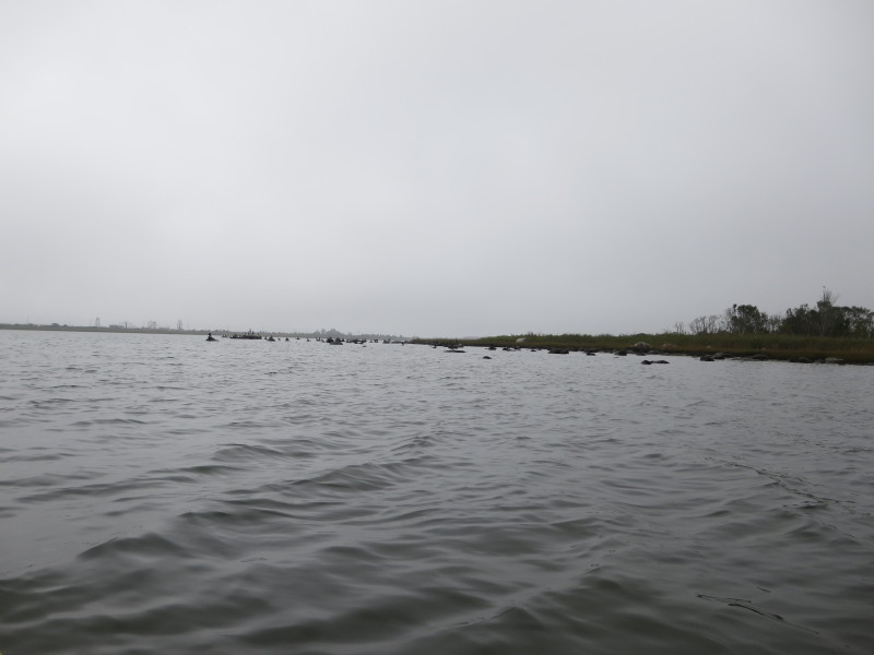
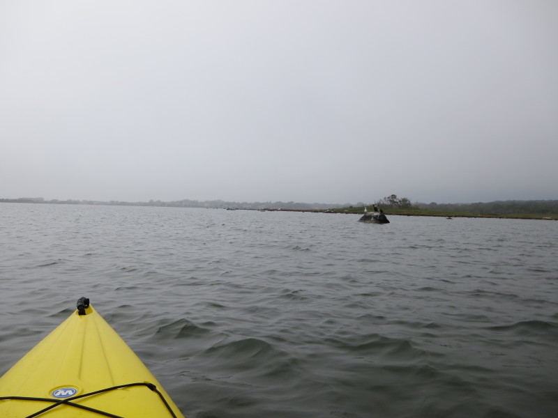
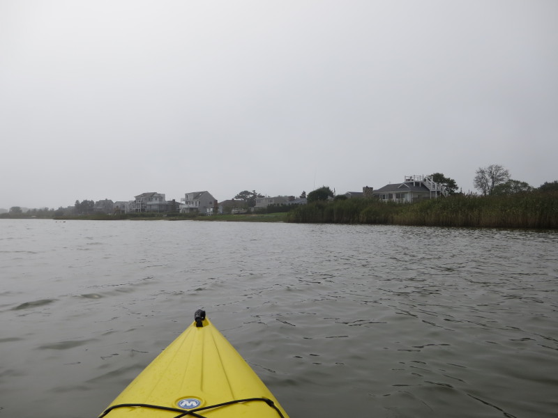
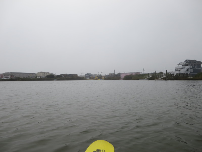
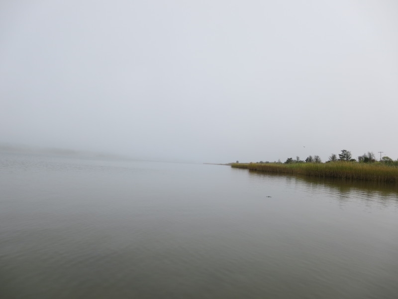
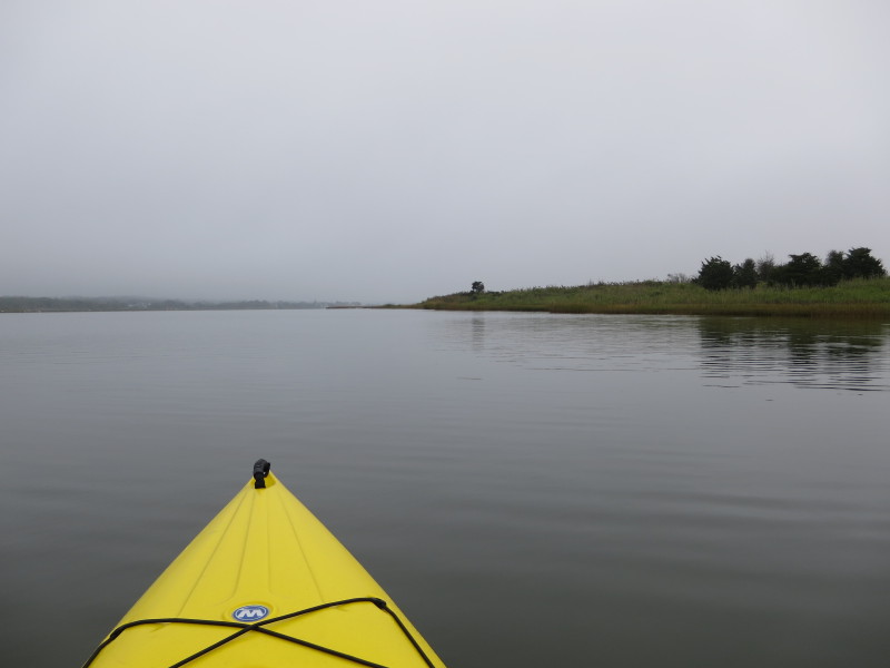 This fog will lift only a little bit later.
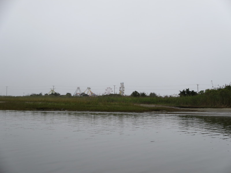
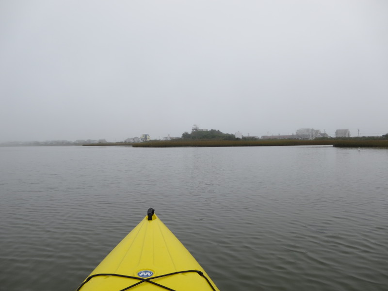
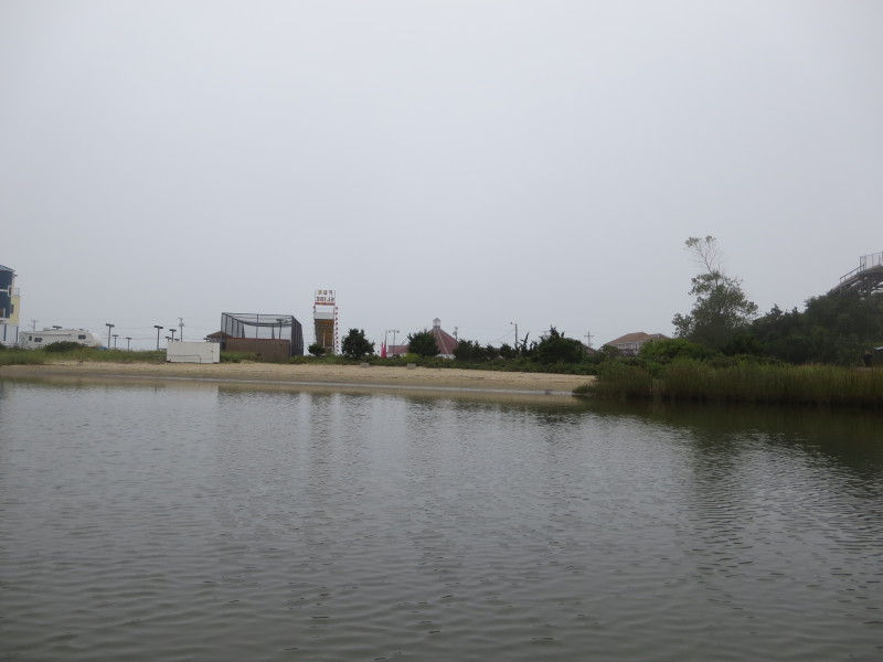
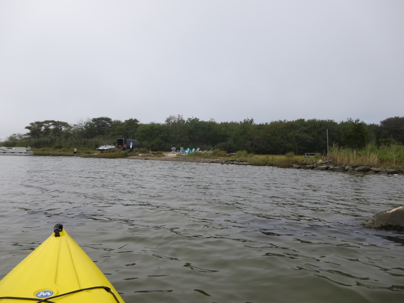
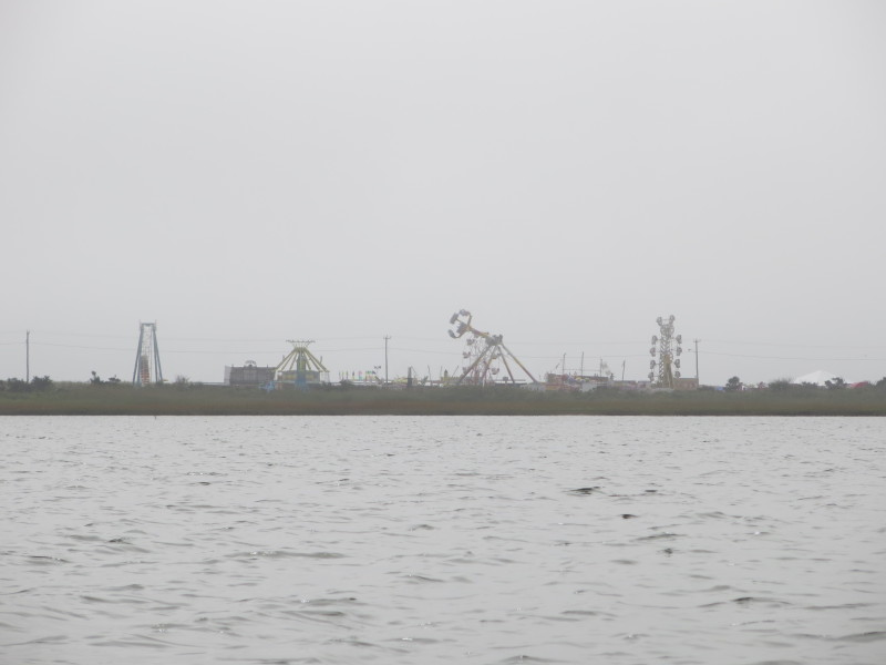
 Rides at the Bayview Fun Park.
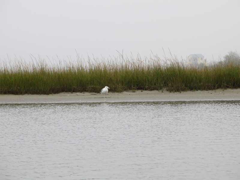
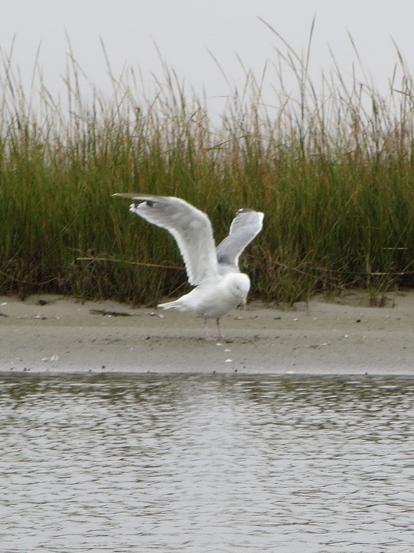
A seagull on Winnapaug Pond. 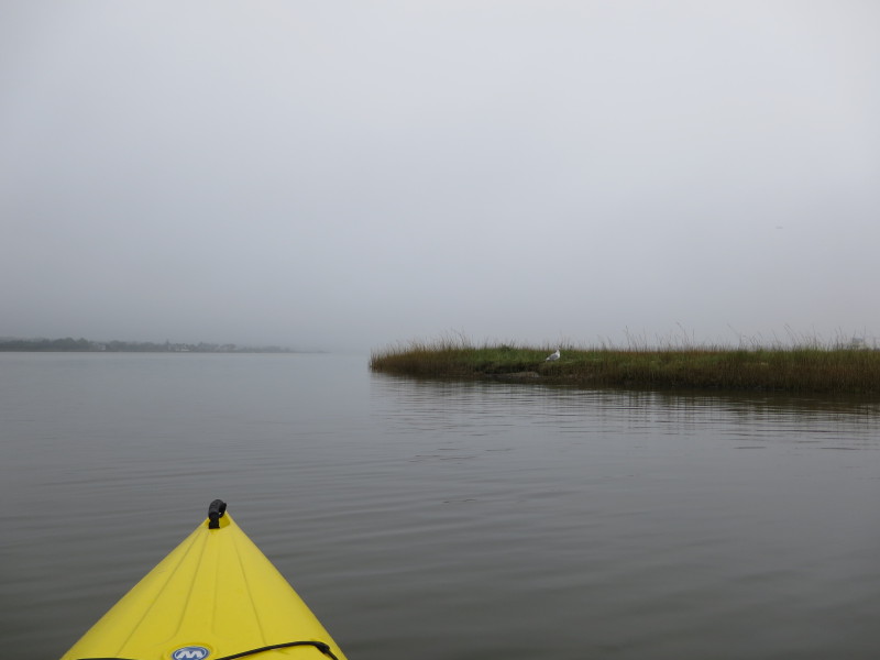
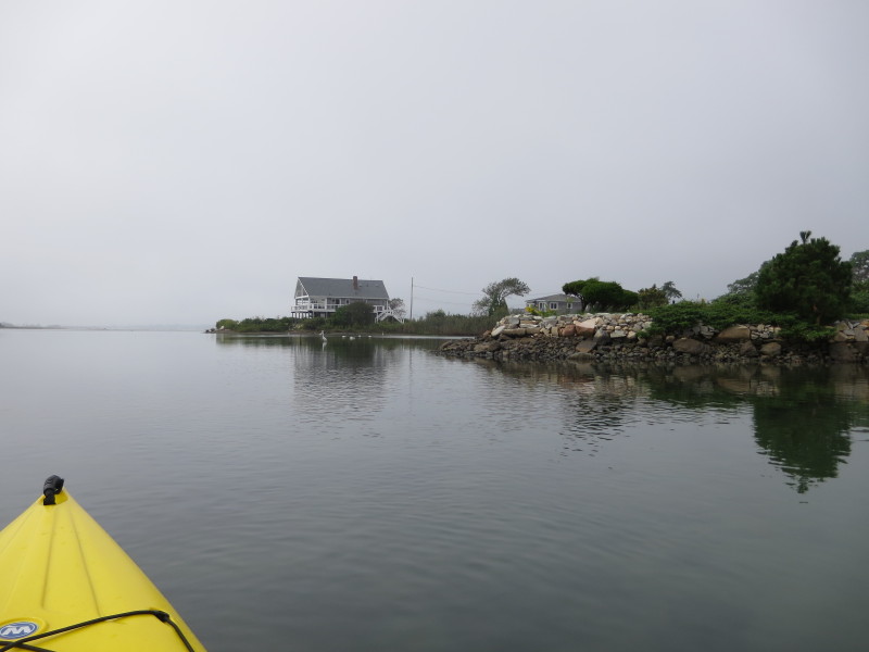
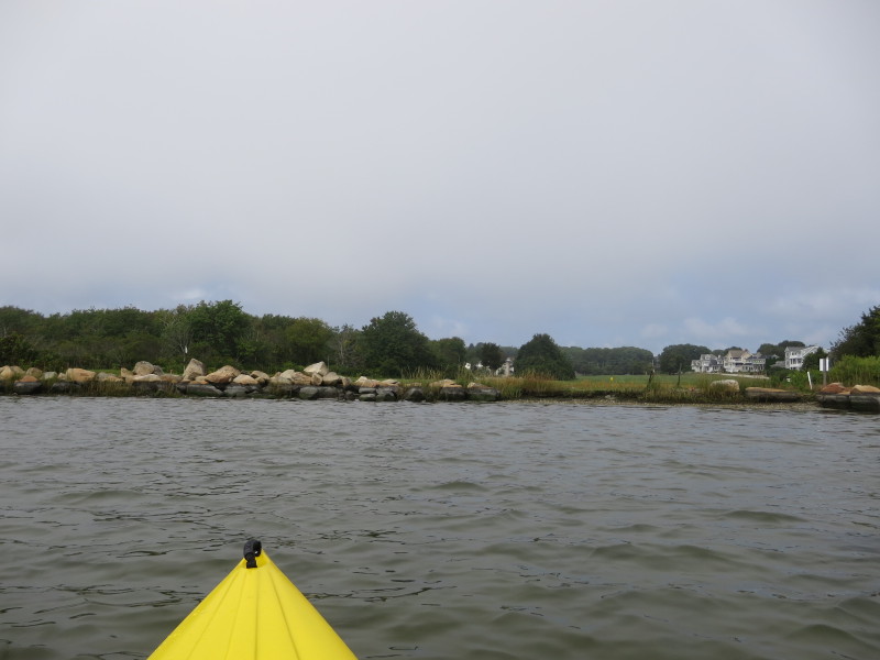
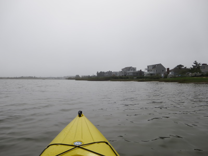
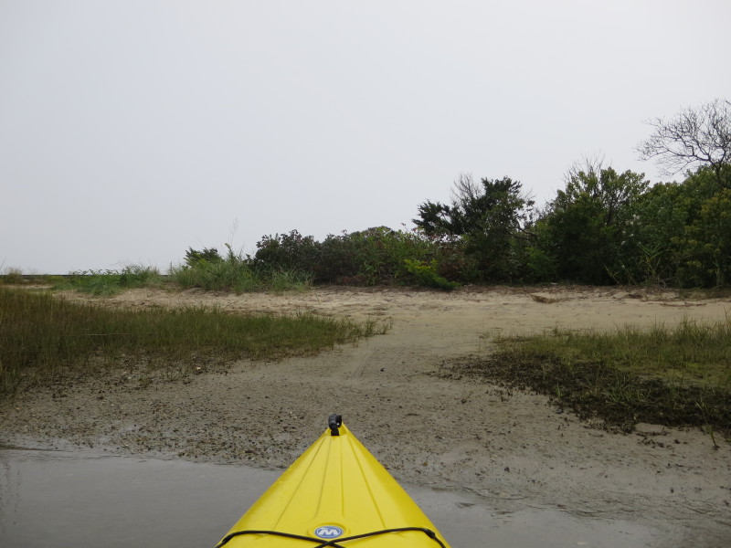
 Not sure if this beach is public or private . . . ?
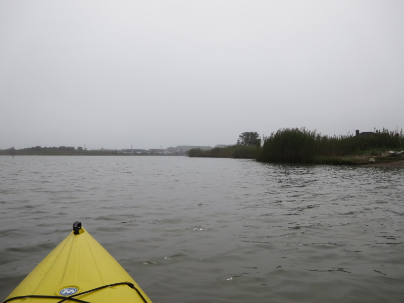
 Will approach these sign posts.
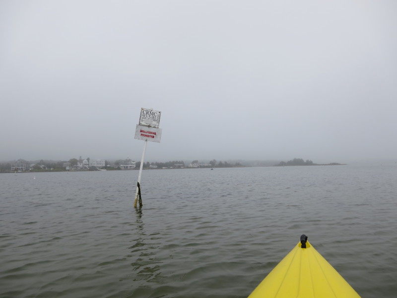
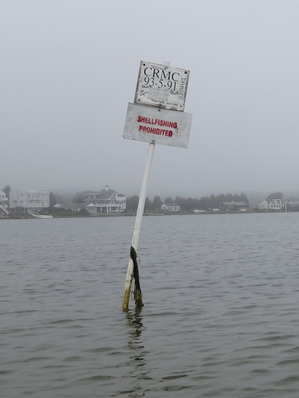
Sign reads: "SHELLFISHING PROHIBITEd" 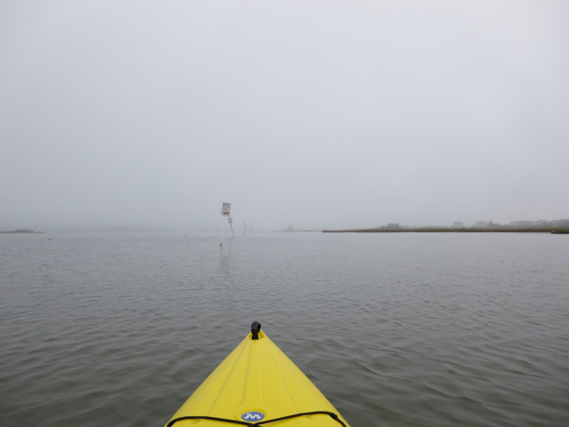 These sign posts seem to try to fence off a specific area.
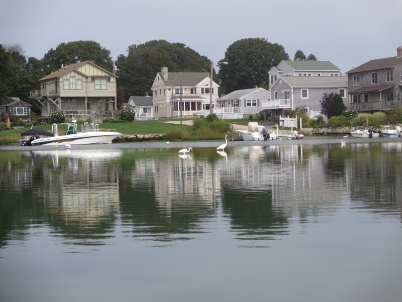
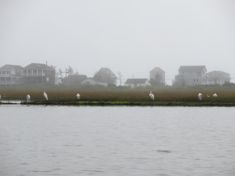 White herons.
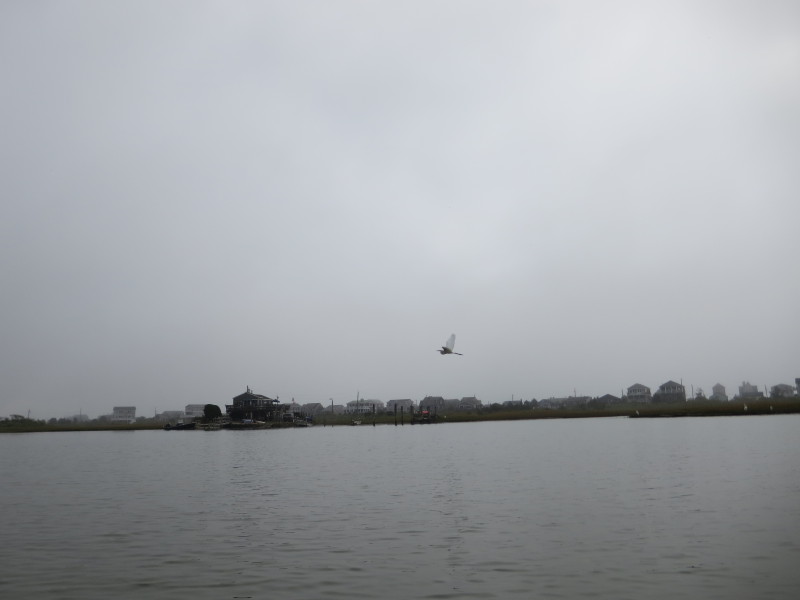
 A white heron in flight over the Winnapaug Pond.
 Water level less than 1 foot here.
 It is too shallow here. Will paddle northwards away from the shore on right.
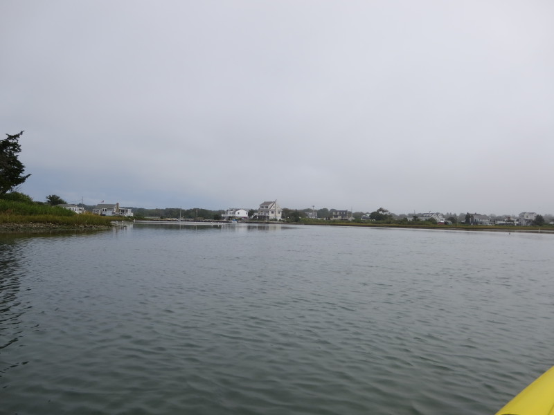
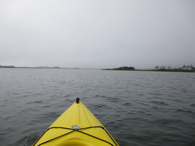
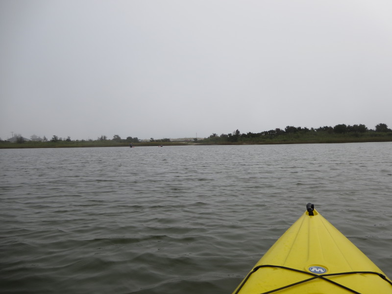
 Paddling northeastwards towards the northern shore.
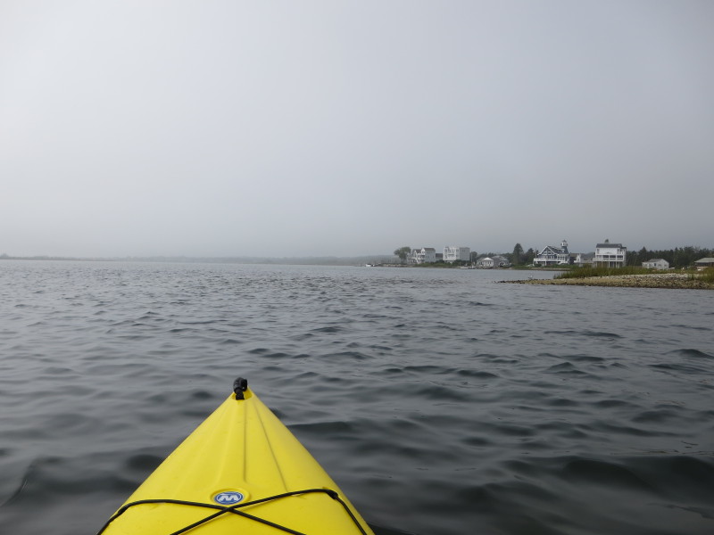
 Now going westwards. North shore on my left.
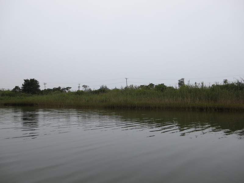
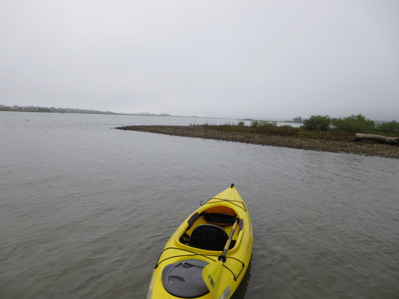
 On left is a small cove.
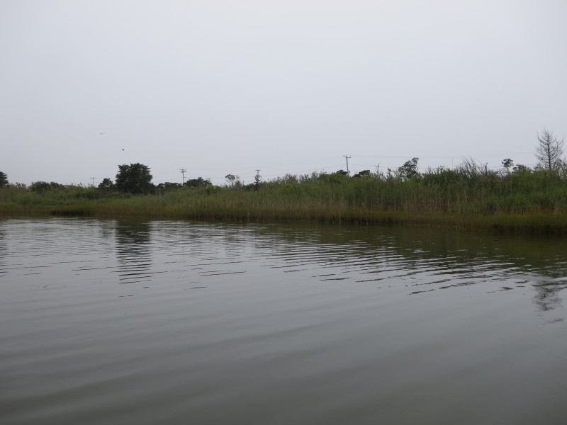
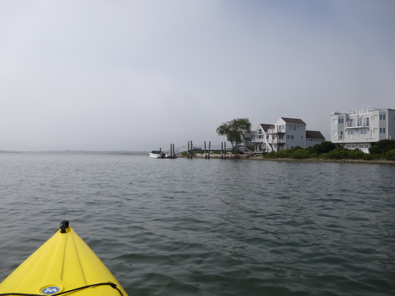
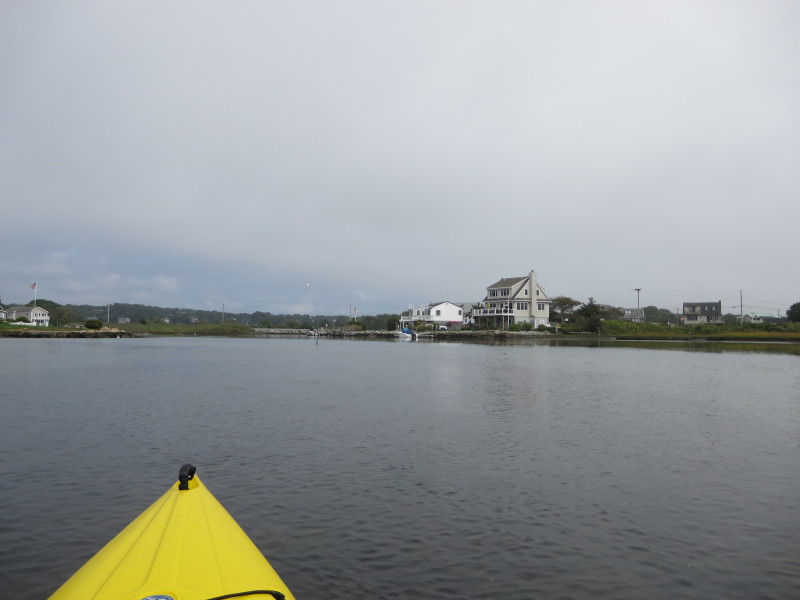 This is another cove where the cars on Shore Road are visible.
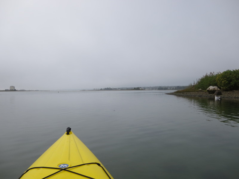
 On the extreme right of the picture is the muddy channel to the Weekapaug Breachway outlet to the Atlantic Ocean.
This is a far east I will/can go. Will now turn around. 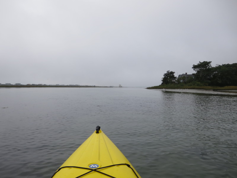 Just turned around and now paddling back westwards.
 The tide continues to recede.
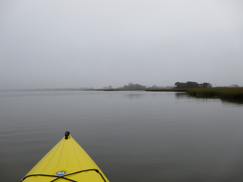
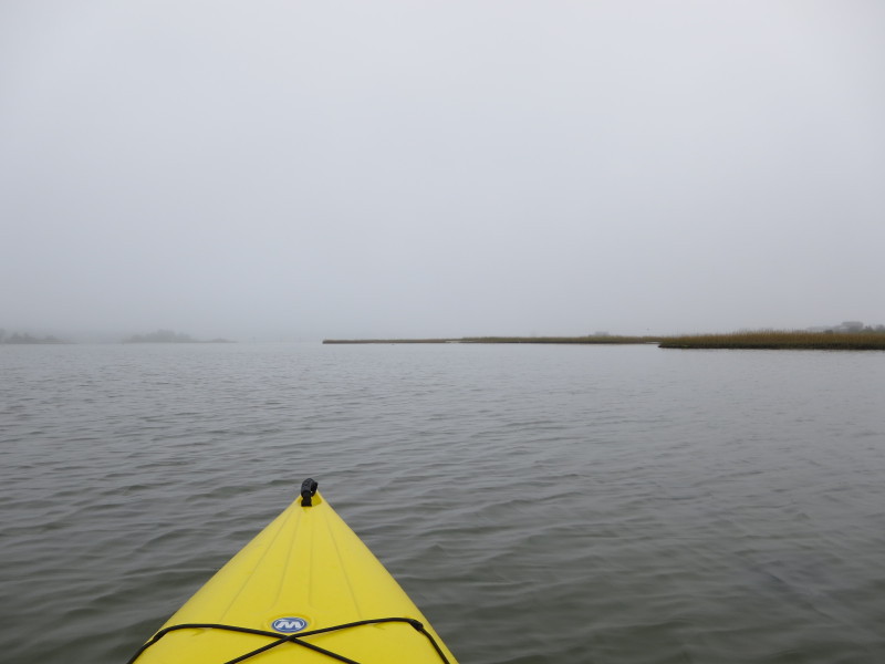
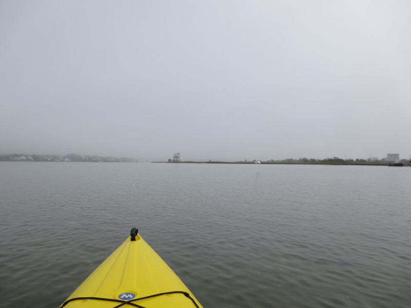
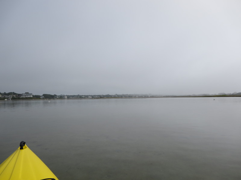
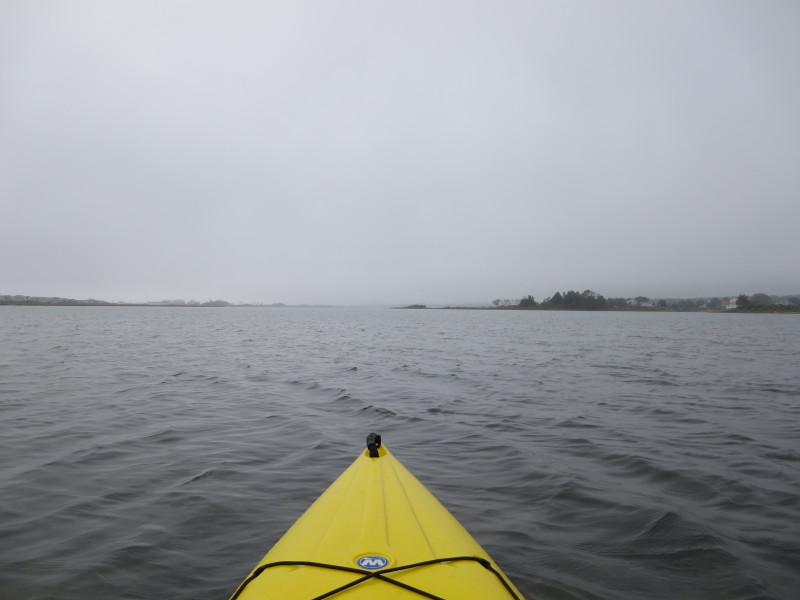
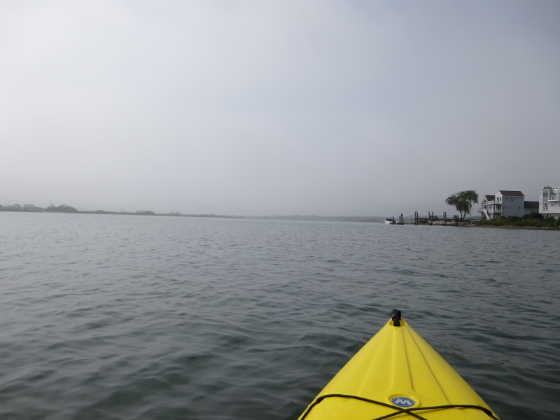
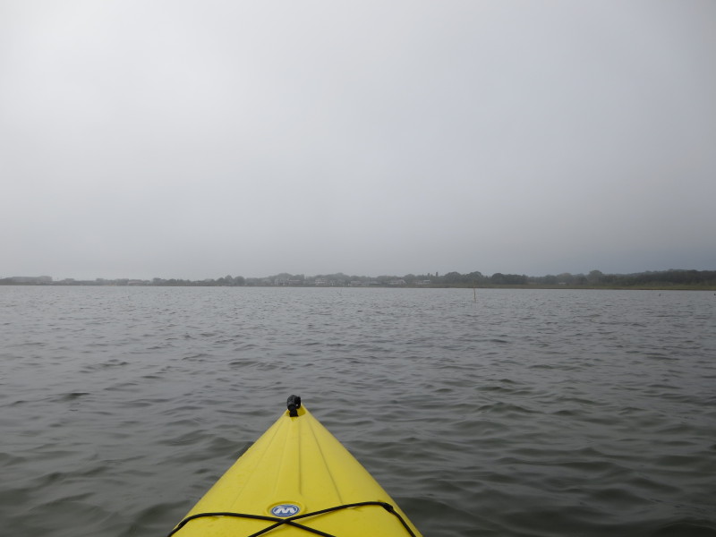
 Still foggy.

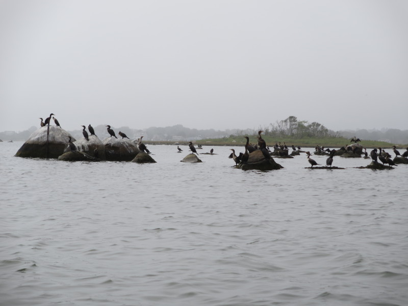
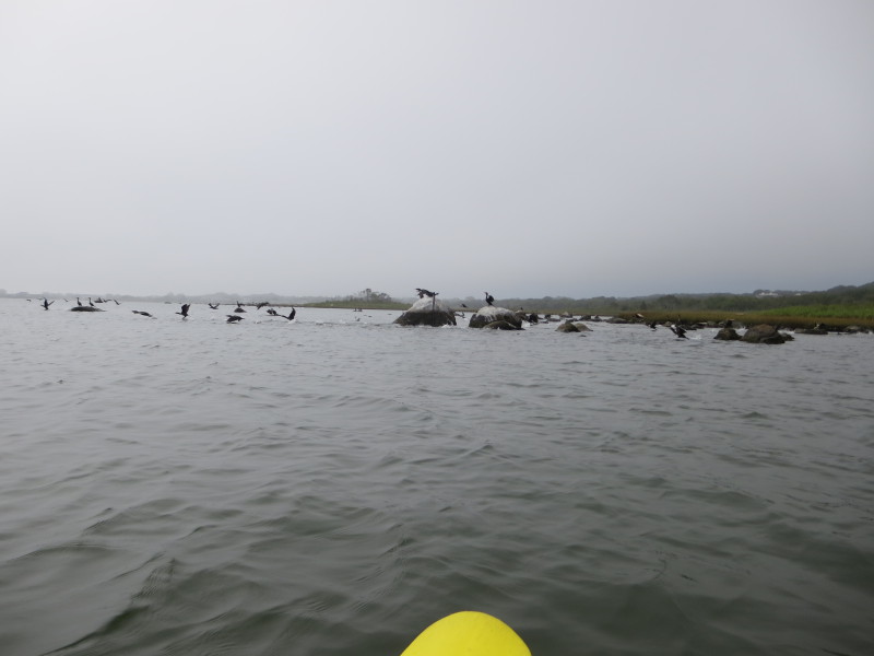
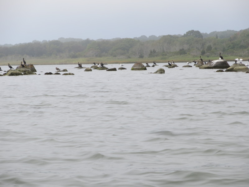
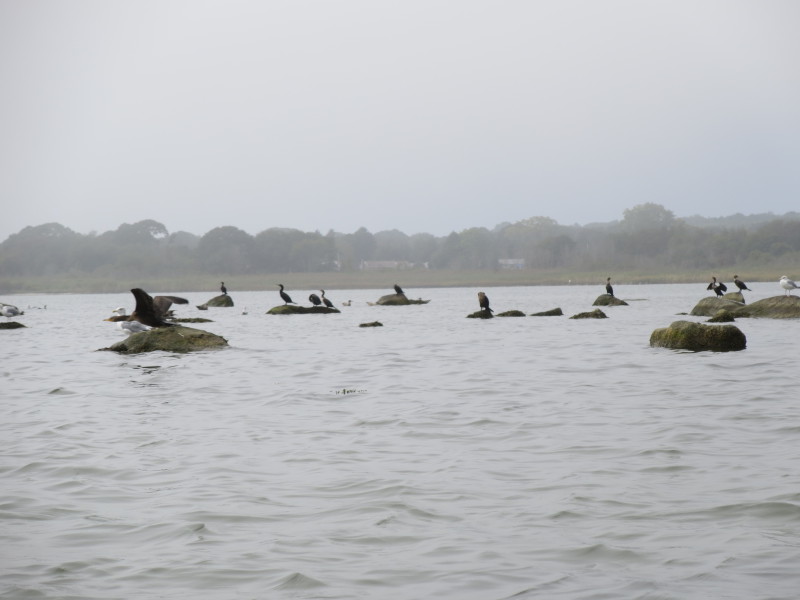
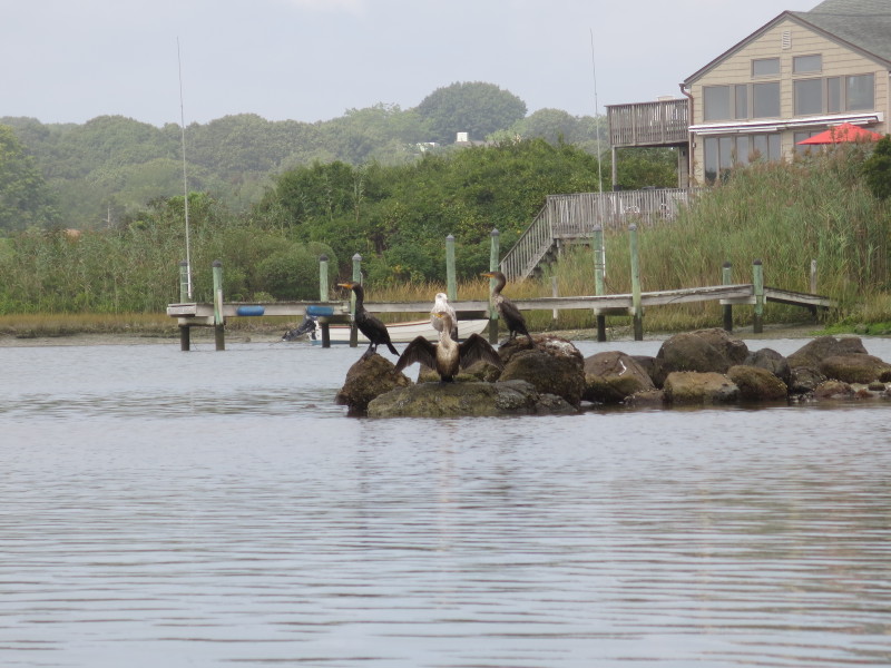 Cormorants.

 Hit a shallow area. Need to step out of my kayak.
 Back on my kayak.
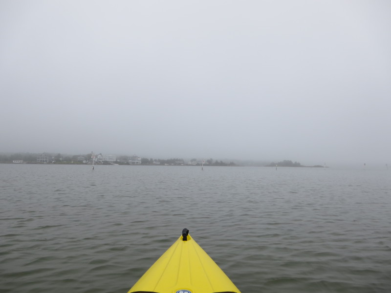
 Looking to my left across the pond to the southern shore.
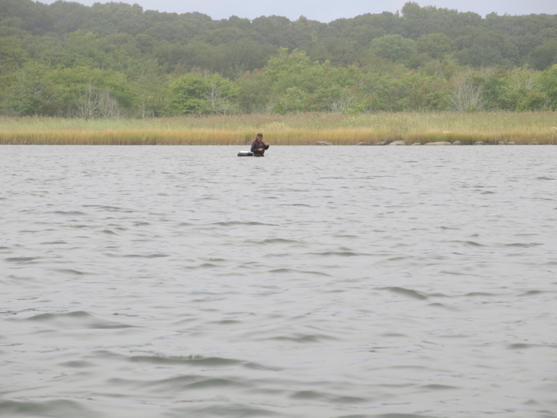
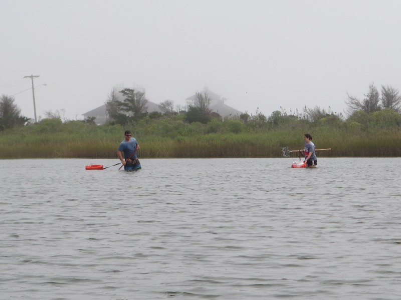
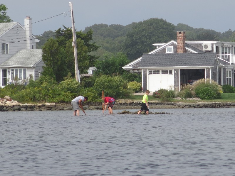 On right, three guys shellfishing.

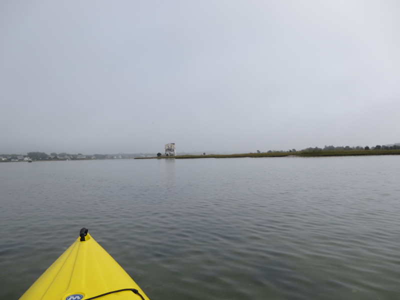
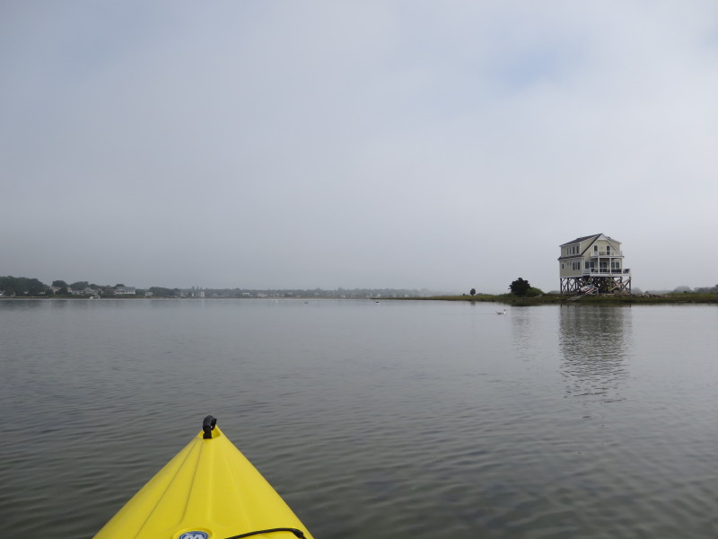
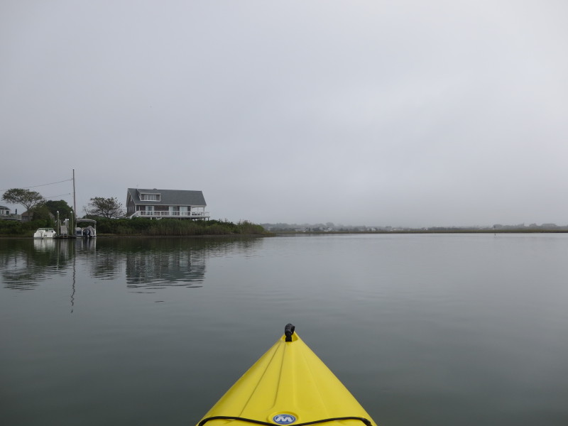
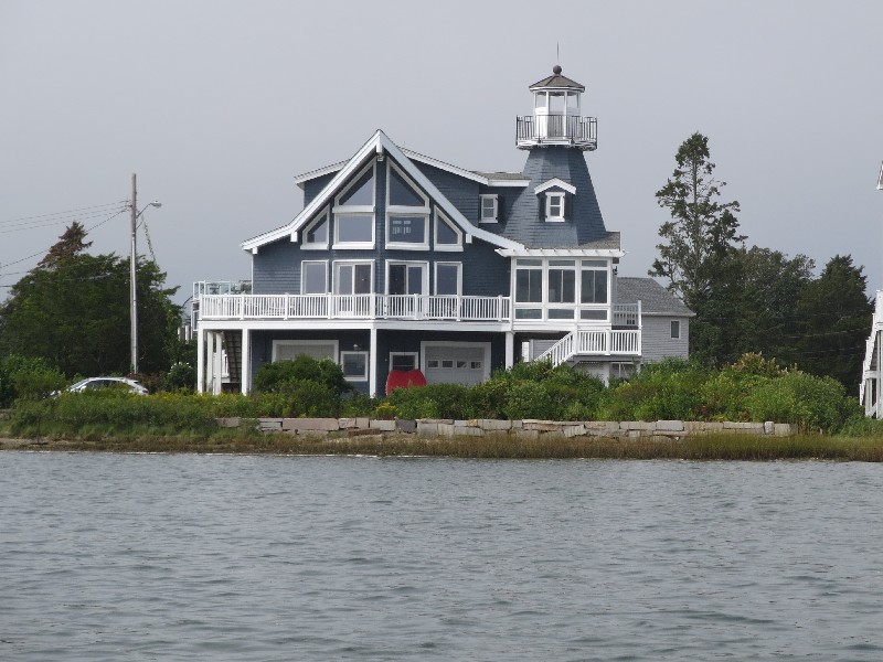 House with a lighthouse on Winnapaug Pond. Nice!
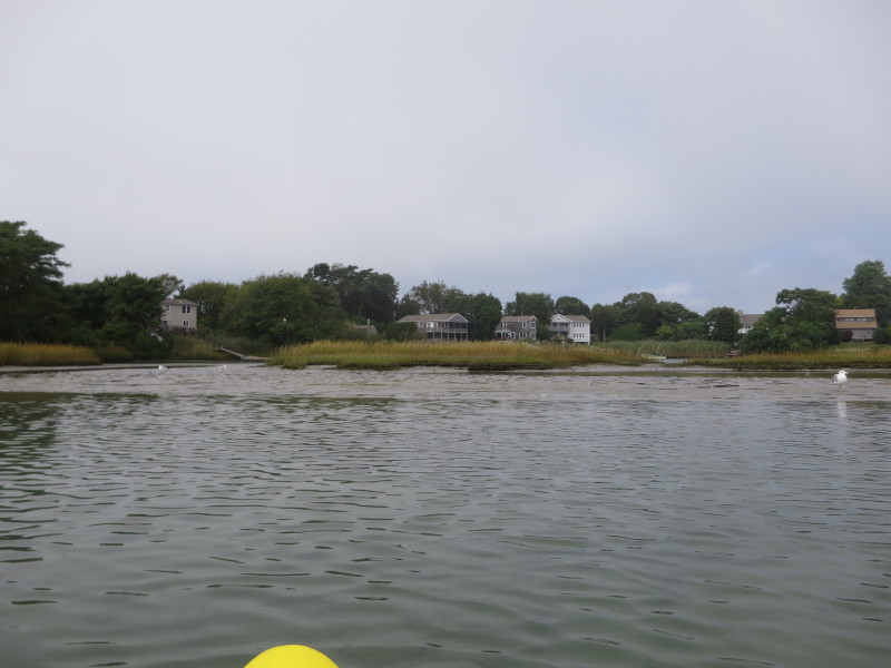
 Continuing westwards with the north shore on right.
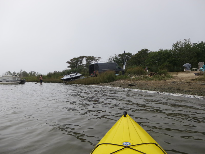 These guys launching a pair of JetSkis.
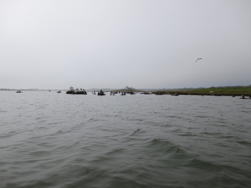
 The waterbirds of Winnapaug Pond.
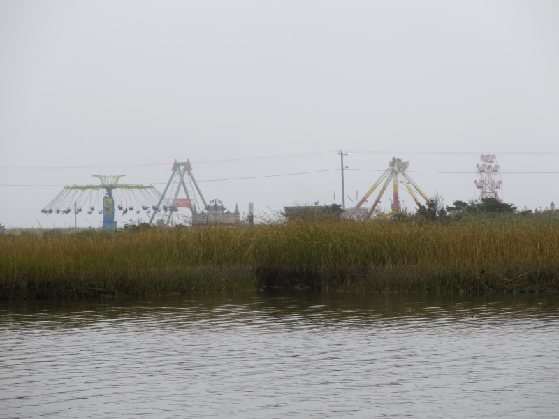
 On my left now are the rides.
 Another shellfisher on waist-deep water.

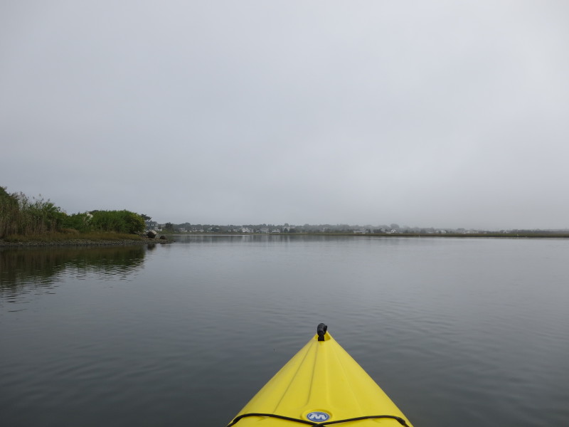
 Veering left. On right is the northwest corner of Winnapaug.
 Paddling directly southwards to where I launched from.
 A couple shellfishing on Winnapaug Pond.
 Approaching my take out.
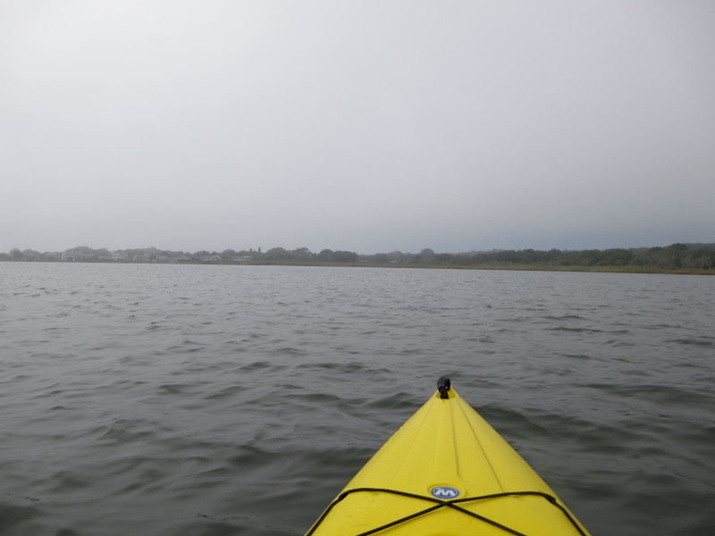
 Looking to my left, the rest of Winnapaug Pond.
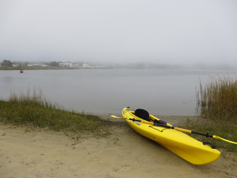 Landed. Paddle time is 1 hour and 46 minutes.
|