 Kayaker

|


|
Download printer-friendly
PDF version that fits in one page: |

|
|
Other resources:
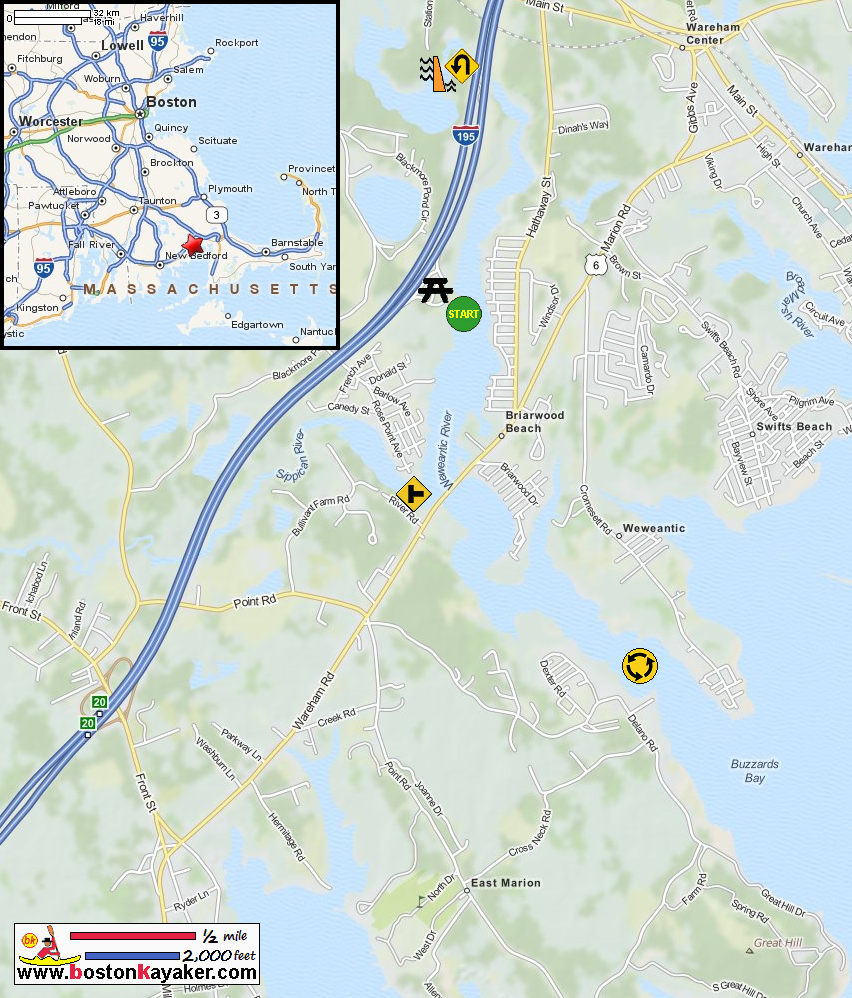
Steve's Kayaking Log: Weweantic River Kayak Trip Report Tideschart.com: Wareham MA USA Tide Chart All photos in this website are original and copyrighted. 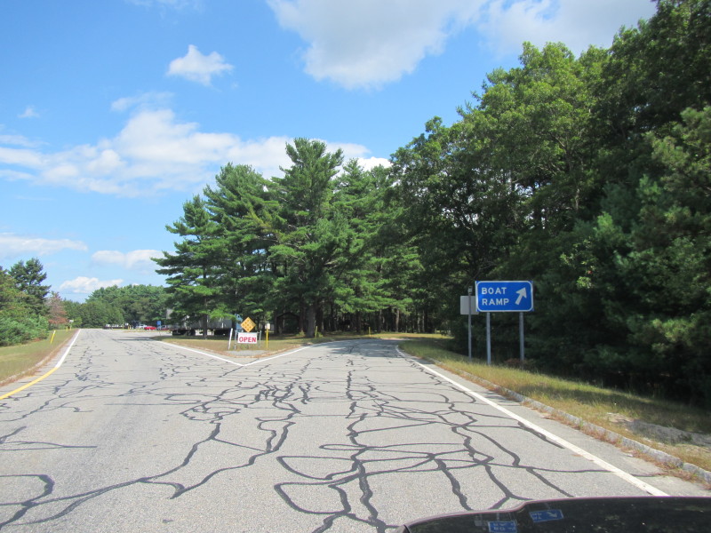 At the eastbound I-195 Rest Area in Wareham MA.
A sign directs you to the boat ramp. Trip date is September 2013. 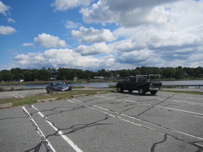 Launch has parking for about 15+ cars.
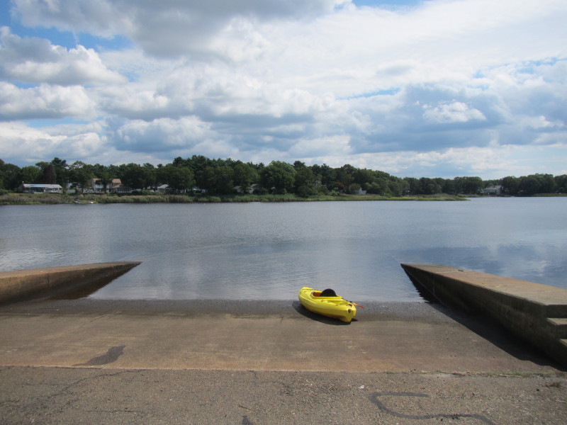 The boat ramp to Weweantic River behind the I-191 rest area in Wareham MA.
 The Boston Kayaker just launched into the Weweantic River.
 I decided to paddle south first.
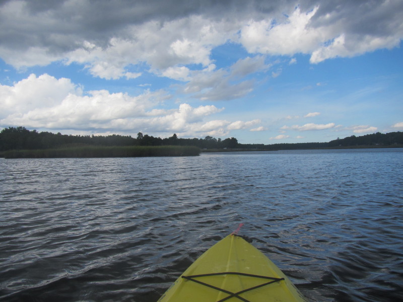
 Looking at my right, marsh.
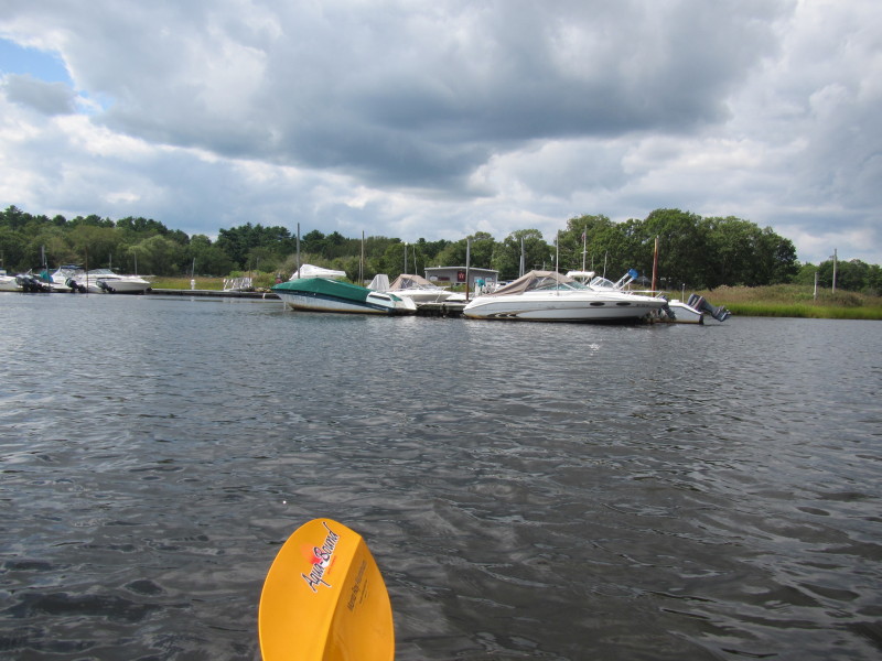
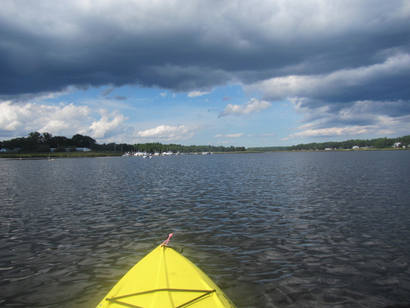
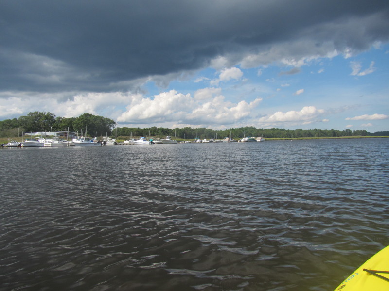
 The Wareham Boatyard and Marina on my right.
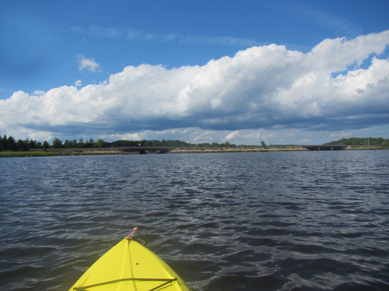
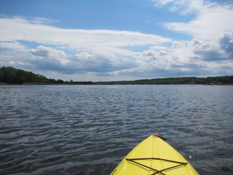 I can see the Route 6 bridge ahead.
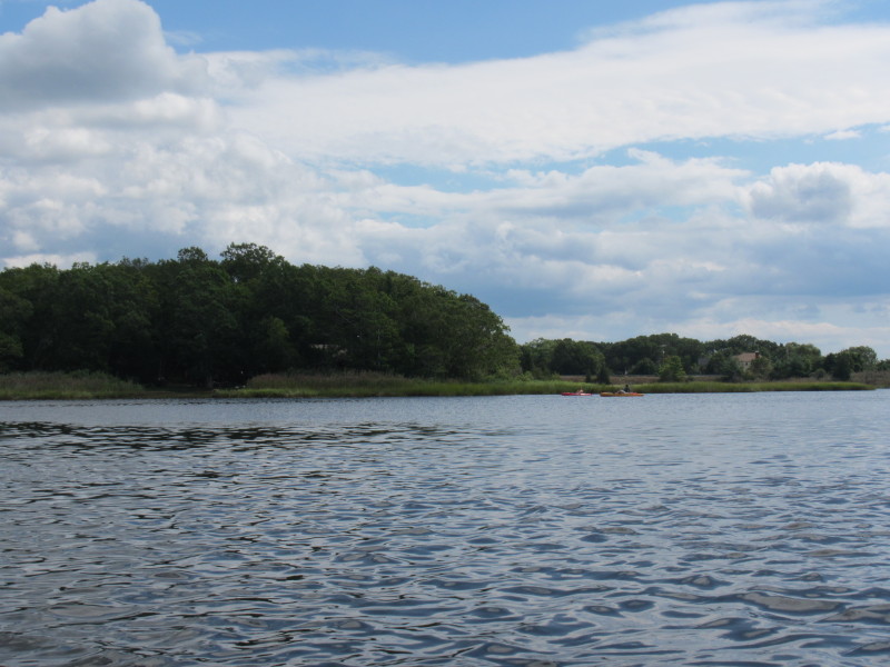 A couple of kayakers on my left.
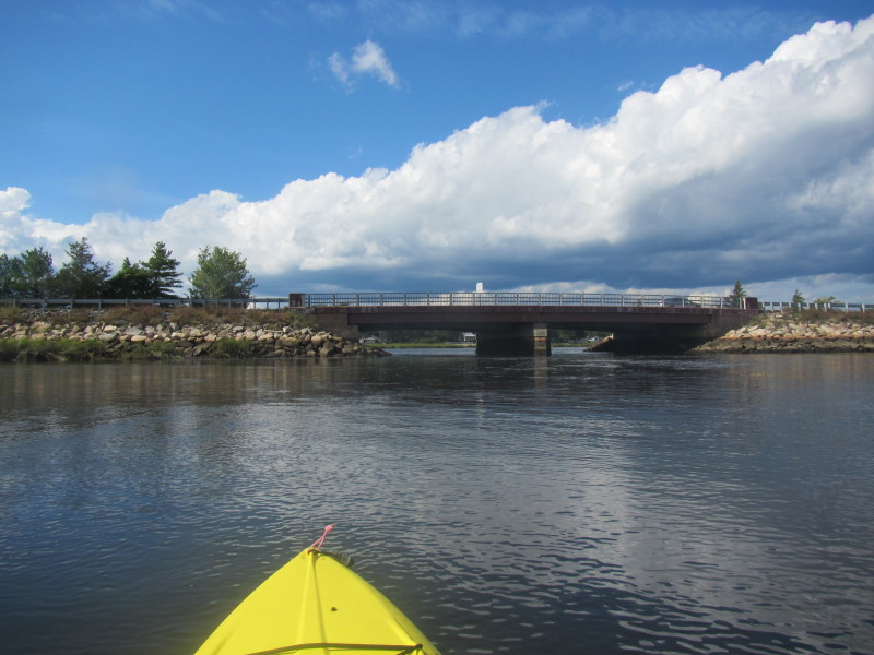
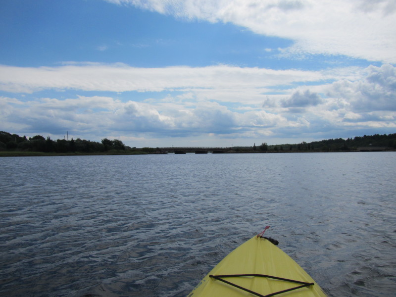 Route 6 has 2 sets of bridges. I will take the westerly one on my left.
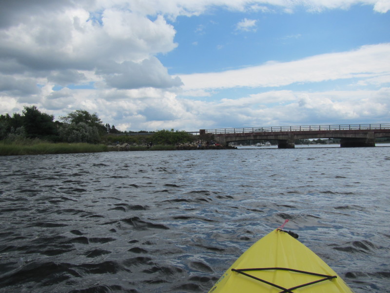 People fishing from the foot of the Route 6 bridge.
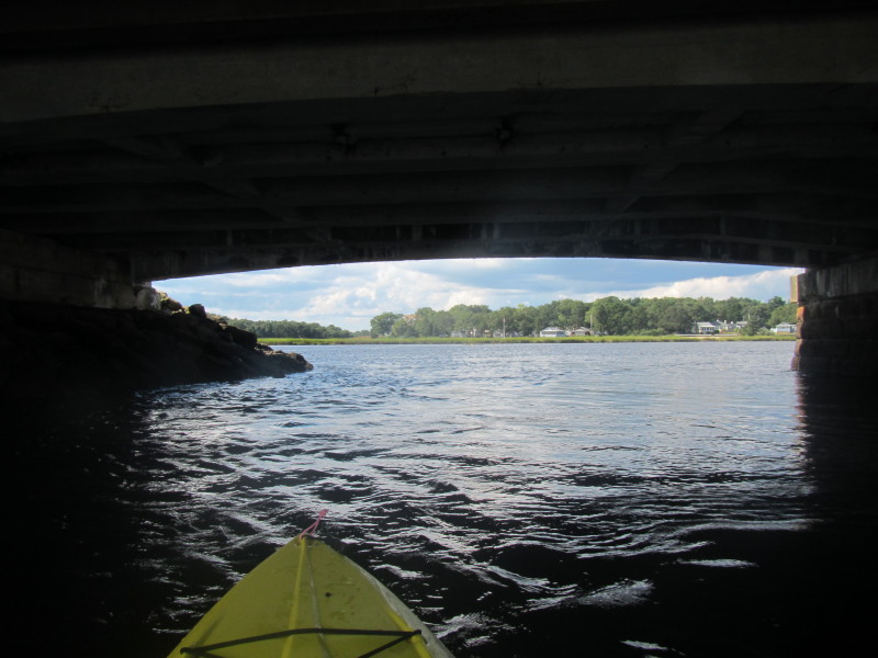
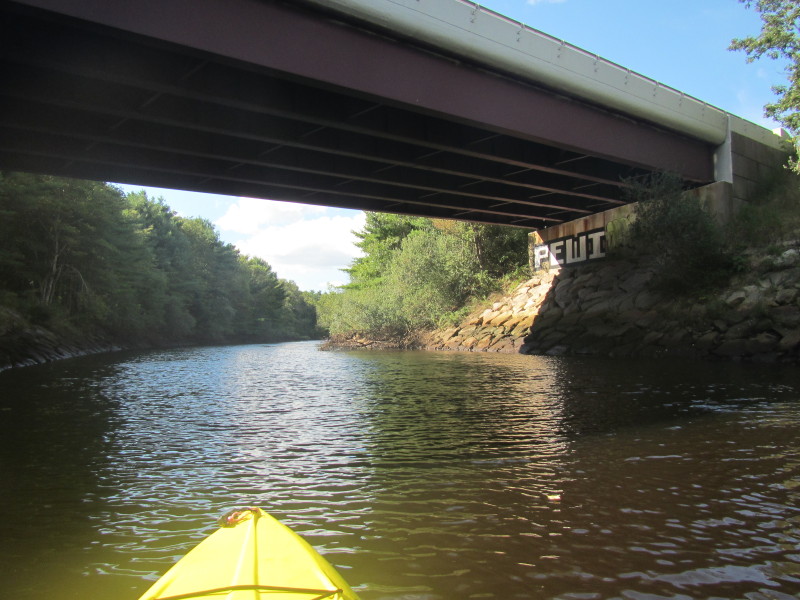
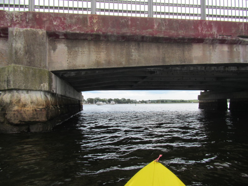 Going under the Route 6 bridge.
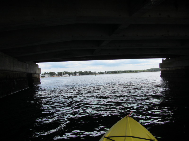
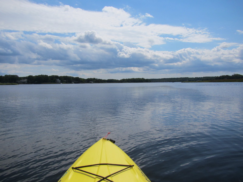
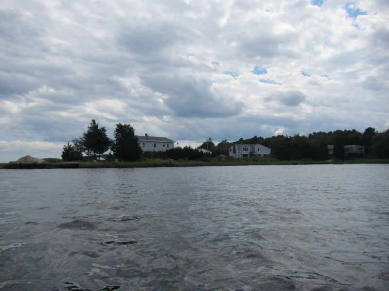
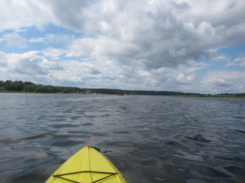
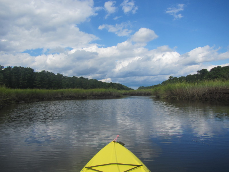
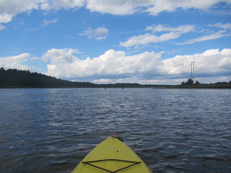
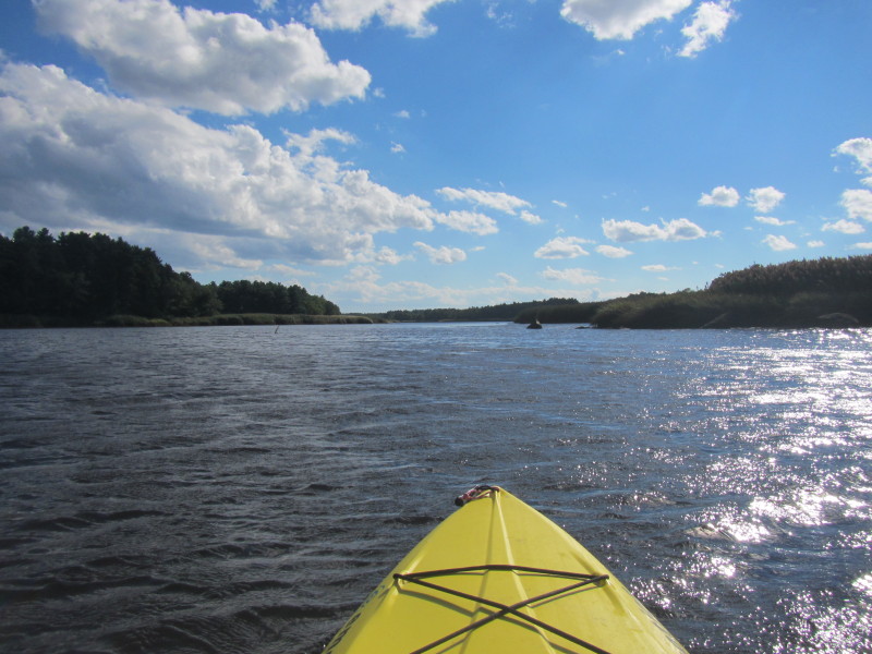
 Continuing my southerly paddle.
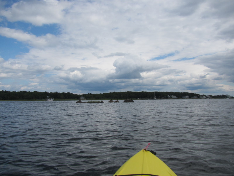
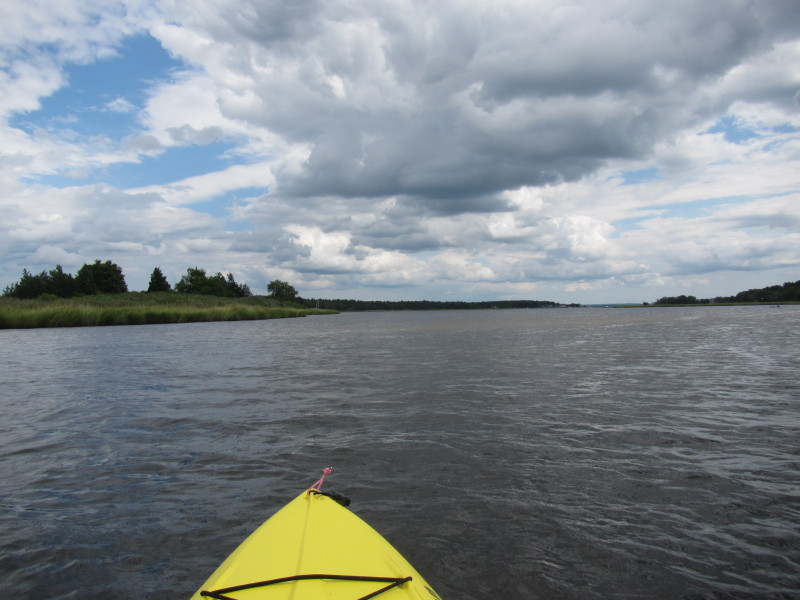
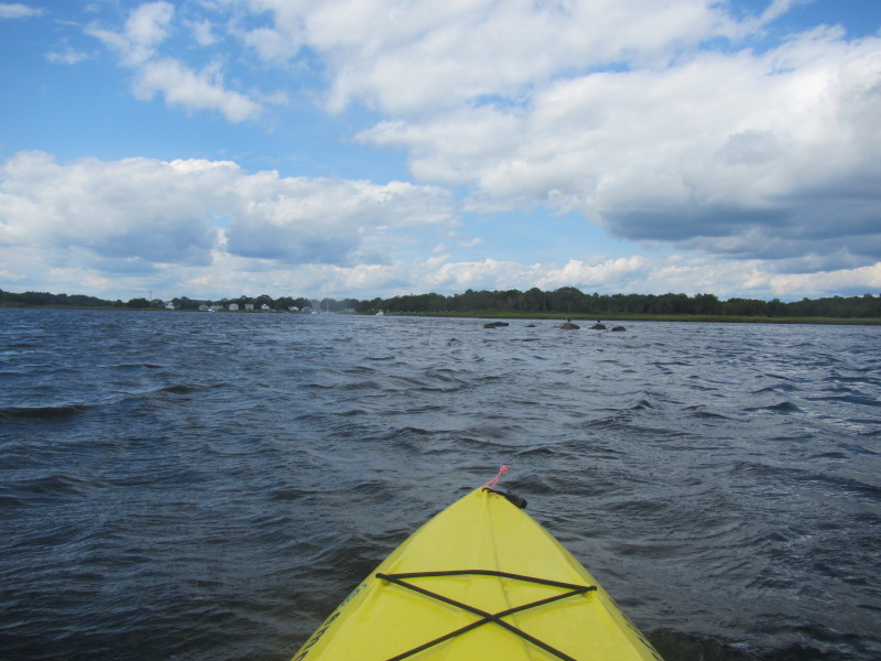
 This area will look different an hour later on my way back when the low tide exposes more rocks.
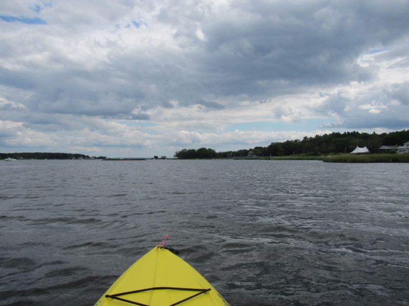
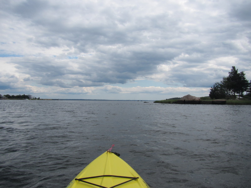
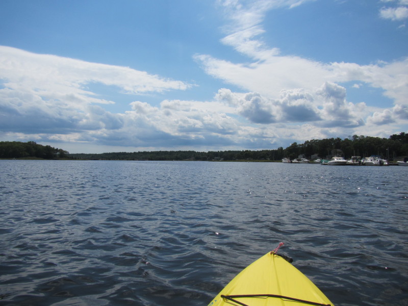
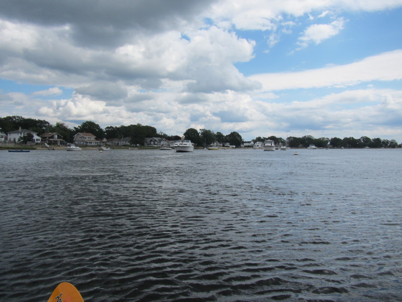
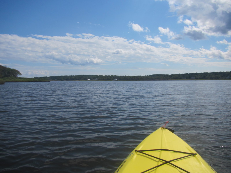
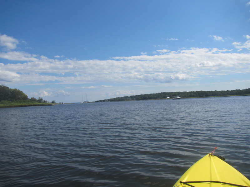
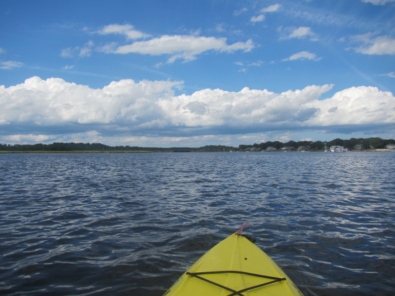
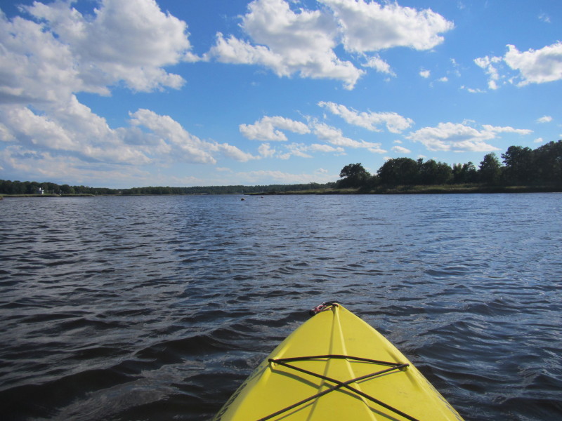
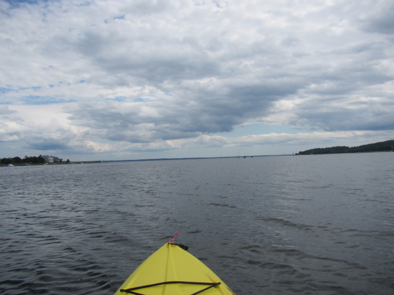 Buzzards Bay is on the horizon.
I will cross to the other eastern side and paddle back. 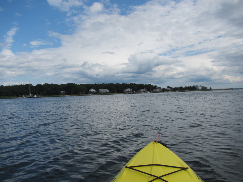 Now paddling to the other eastern side.
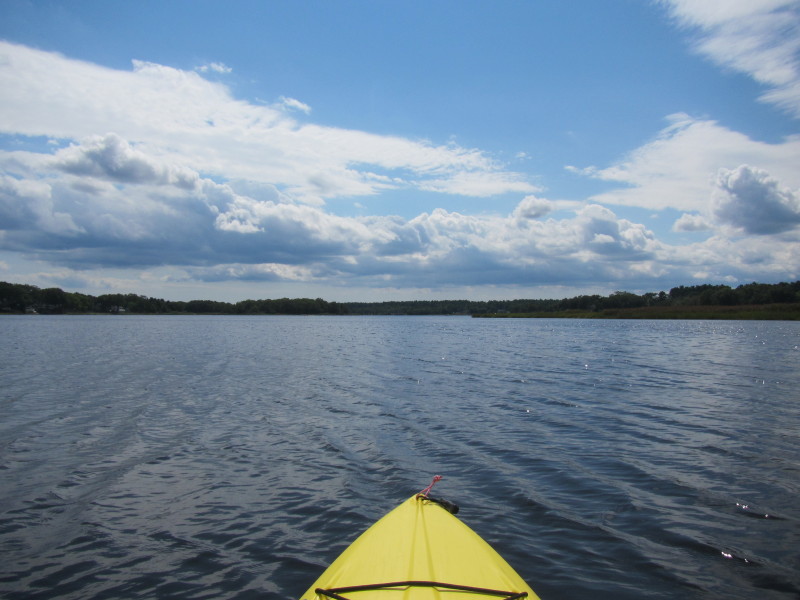
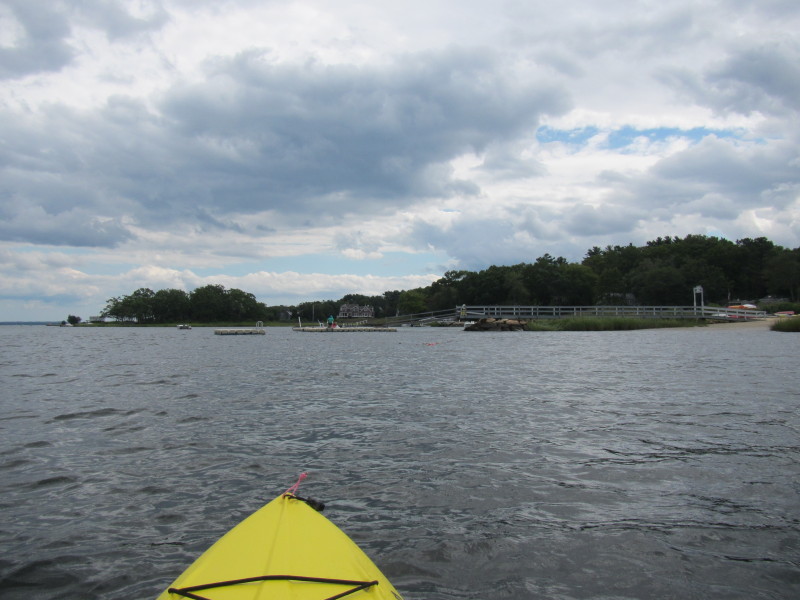
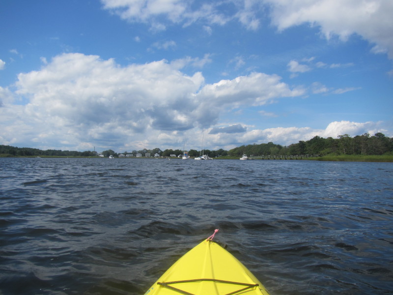
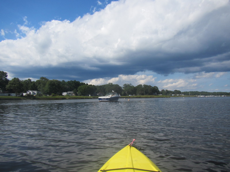
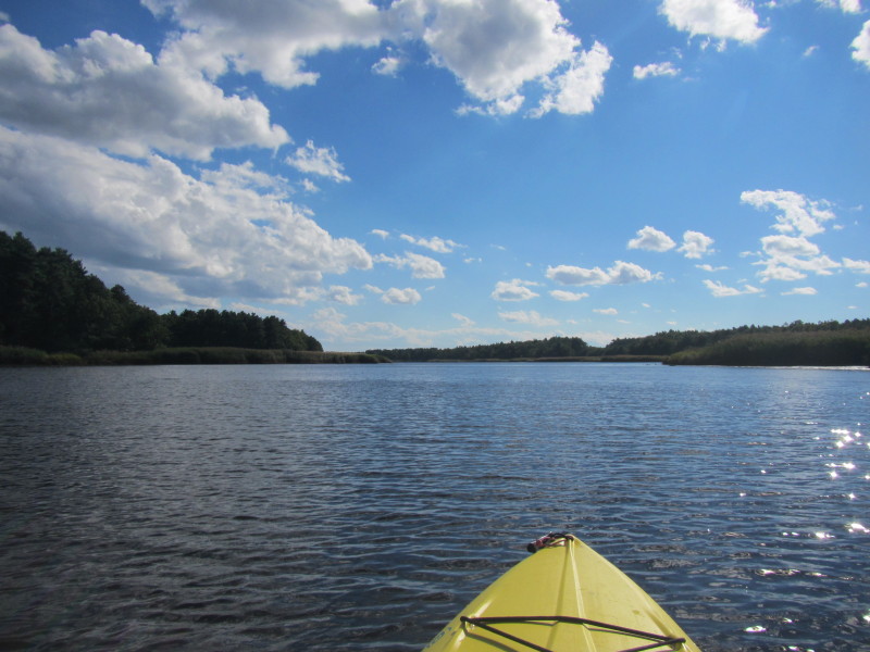
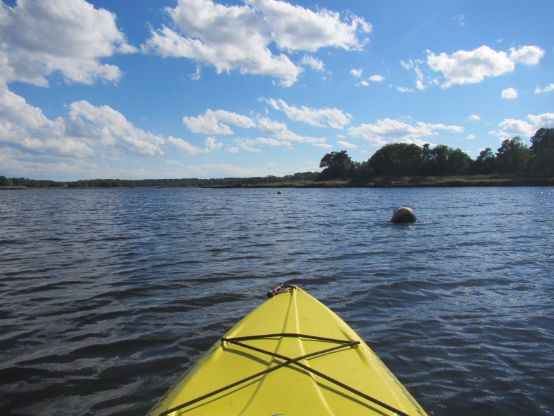
 Paddling northwards as I attempt to get closer to the eastern bank.
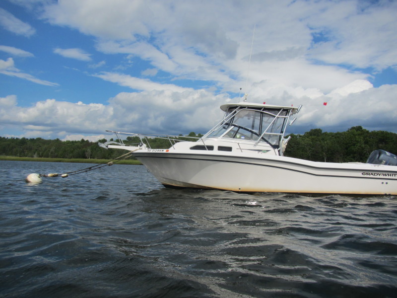
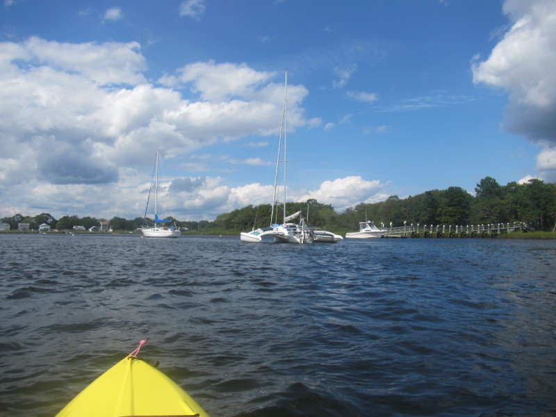
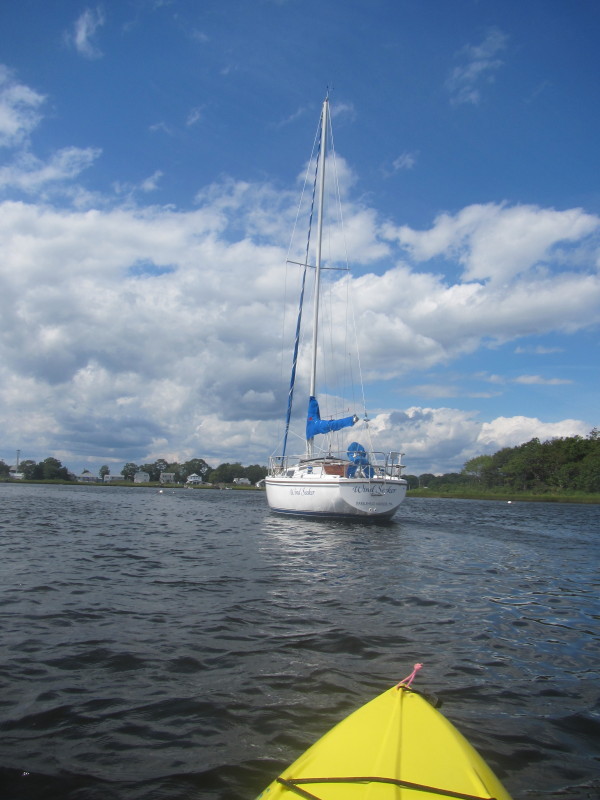
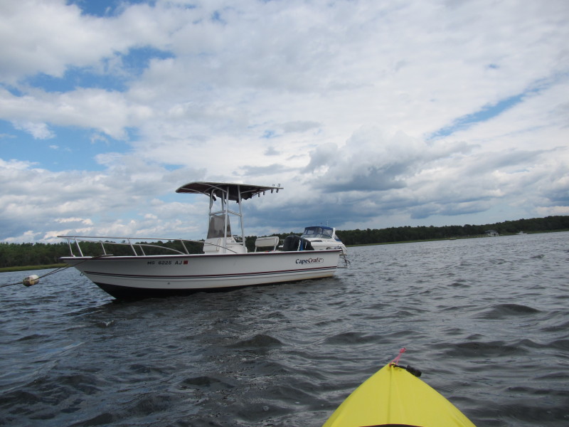
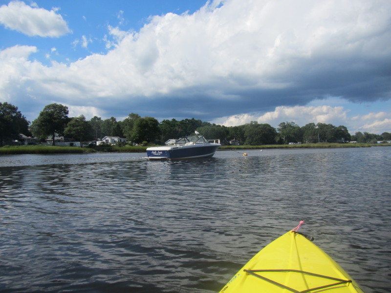
"Wind Seeker" 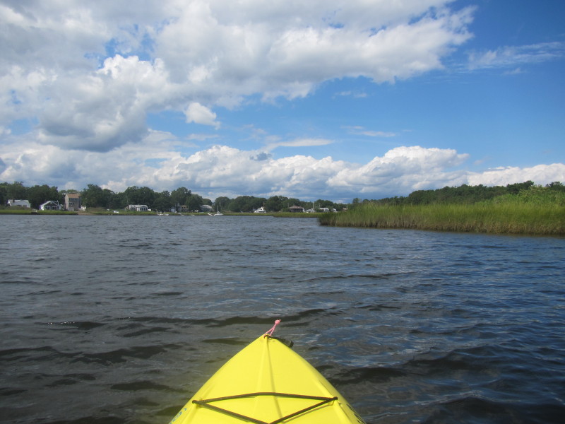
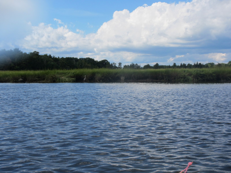
 A white heron on the shore.
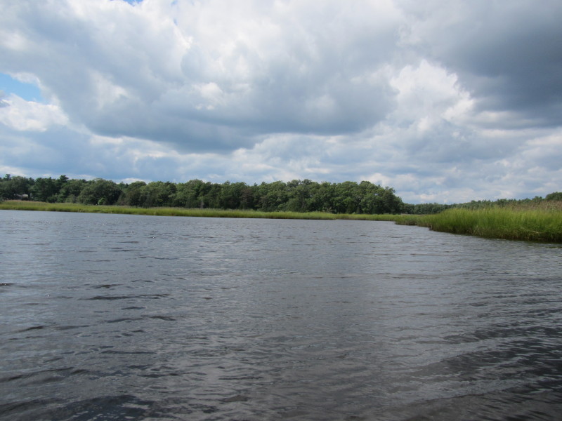
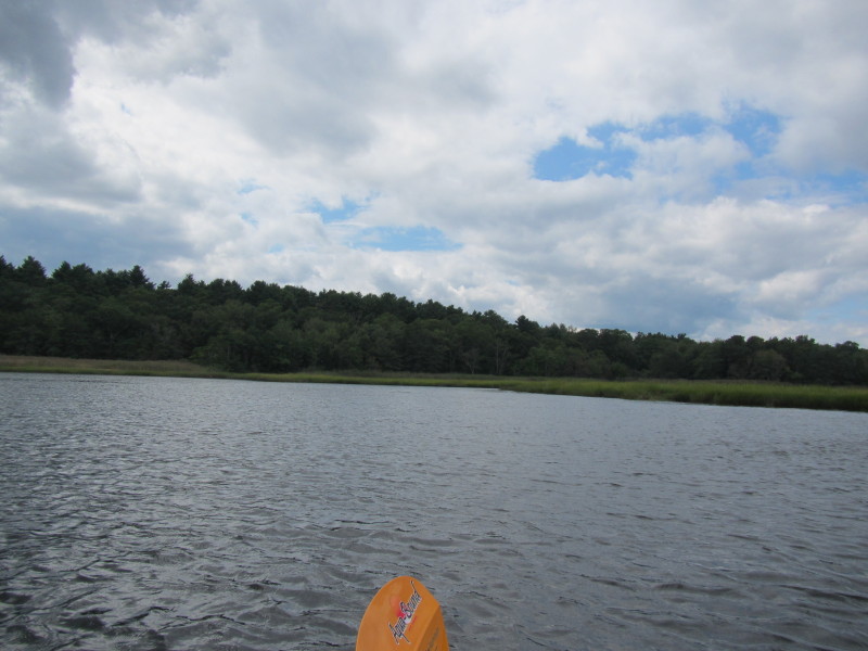
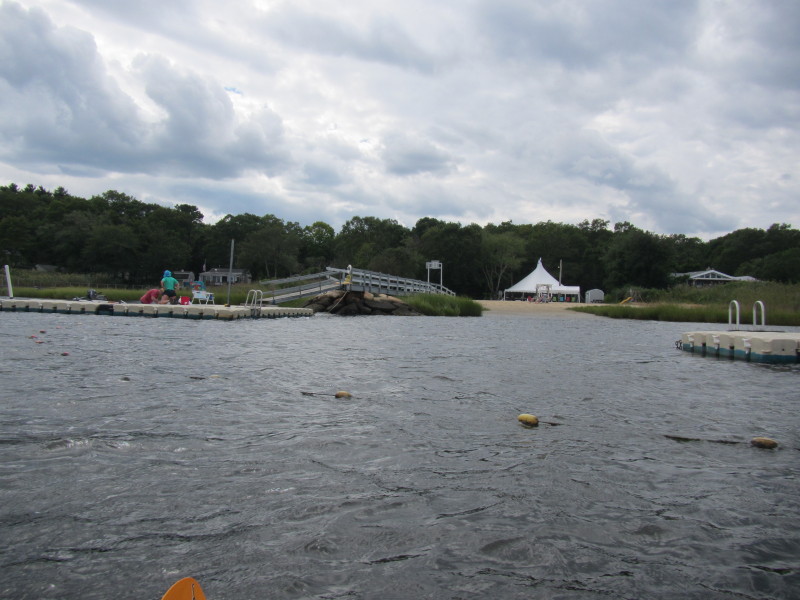
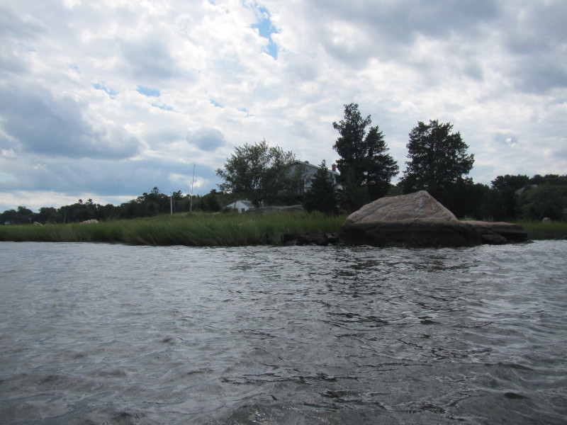
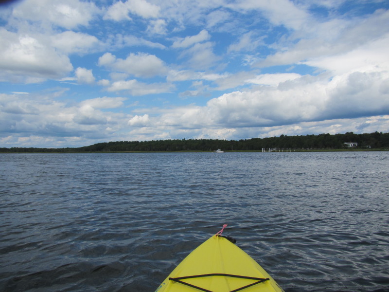
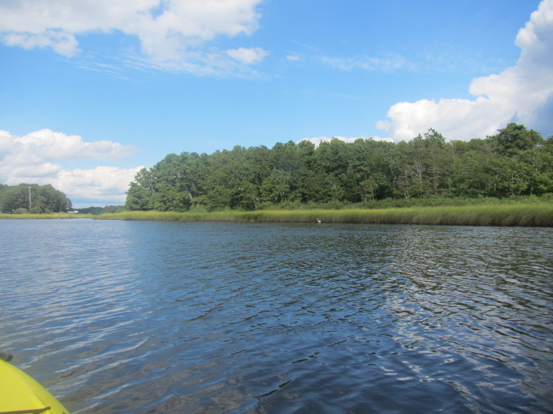
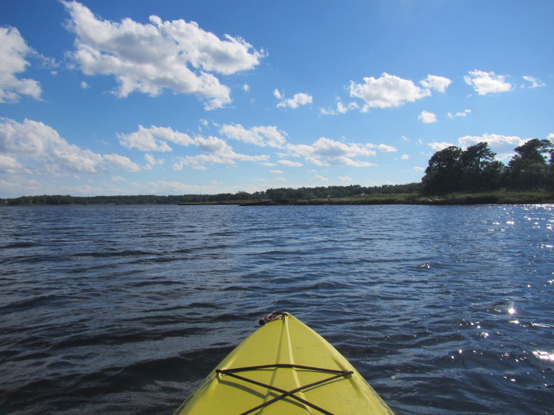
 On my right is a small cove that I will check out.
 OK. This is as far as I will go into this cove. Turning around.
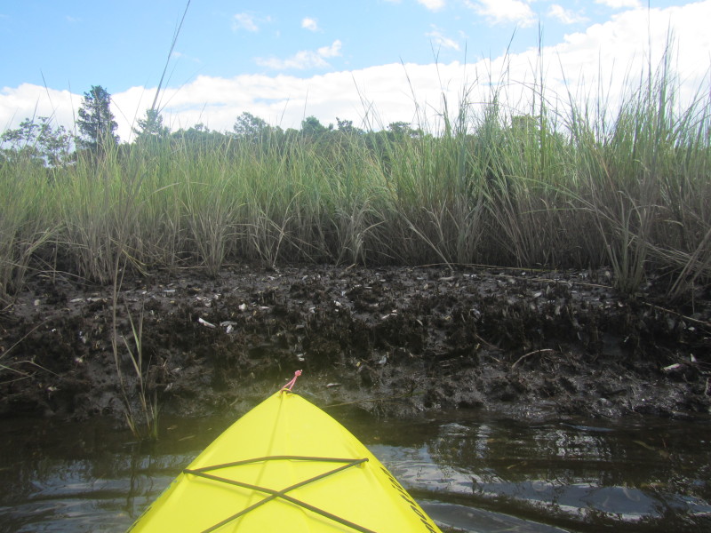 This bit of mud exposed by the low tide is buzzing with marine life activity.
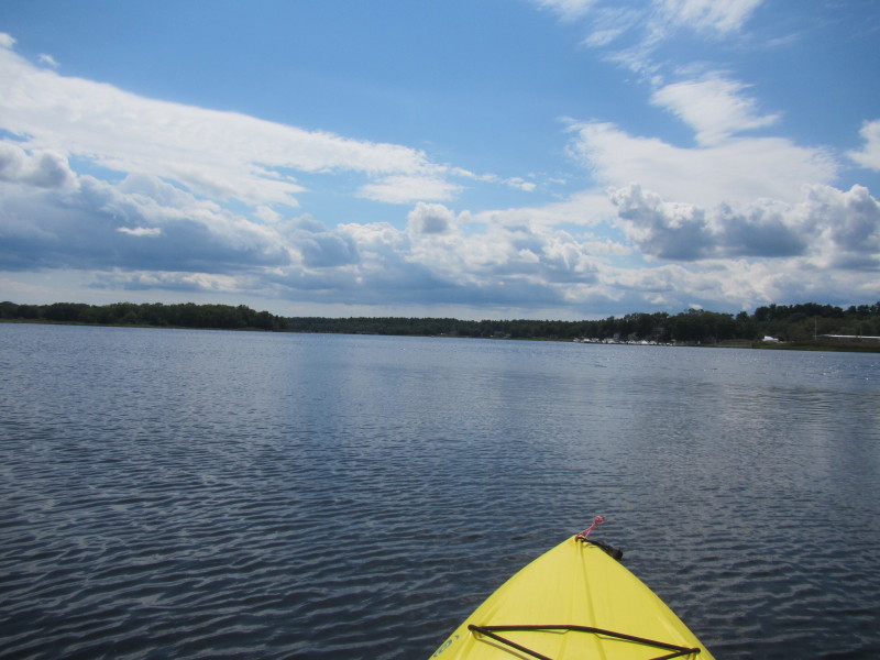
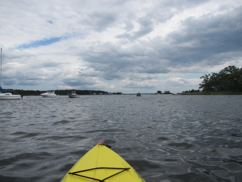
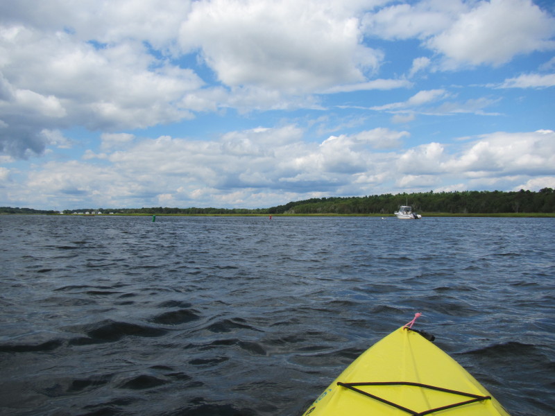
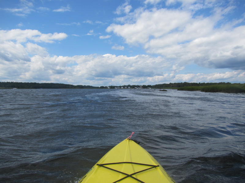
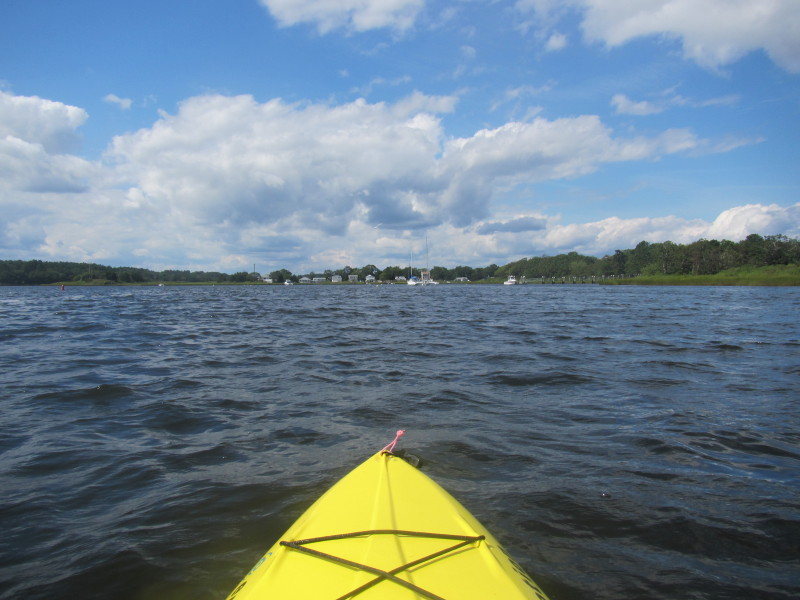
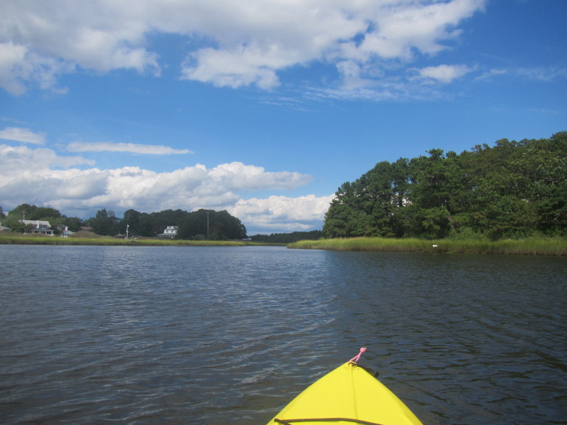
 Now coming out of the cove and into the main branch of the Weweantic.
 Paddling to my right to get back to where I launched.
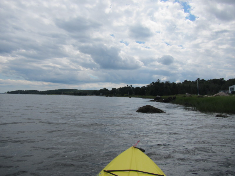
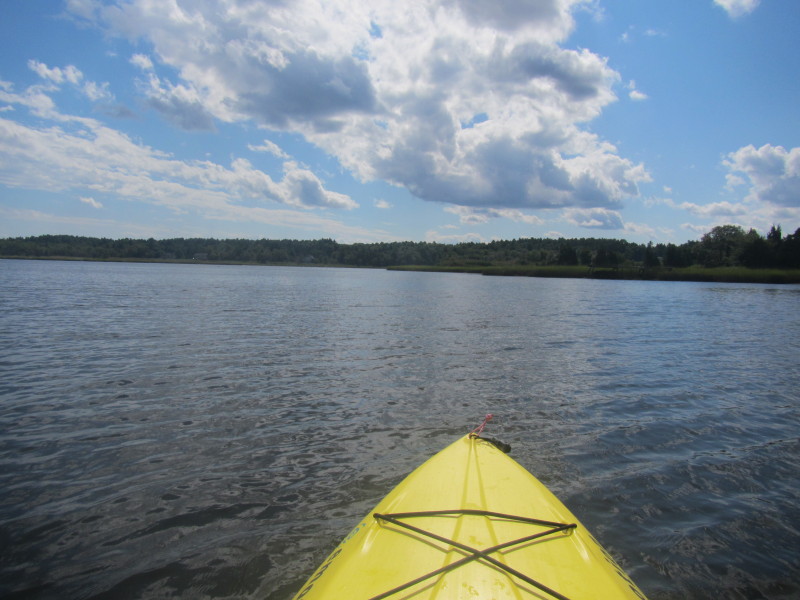
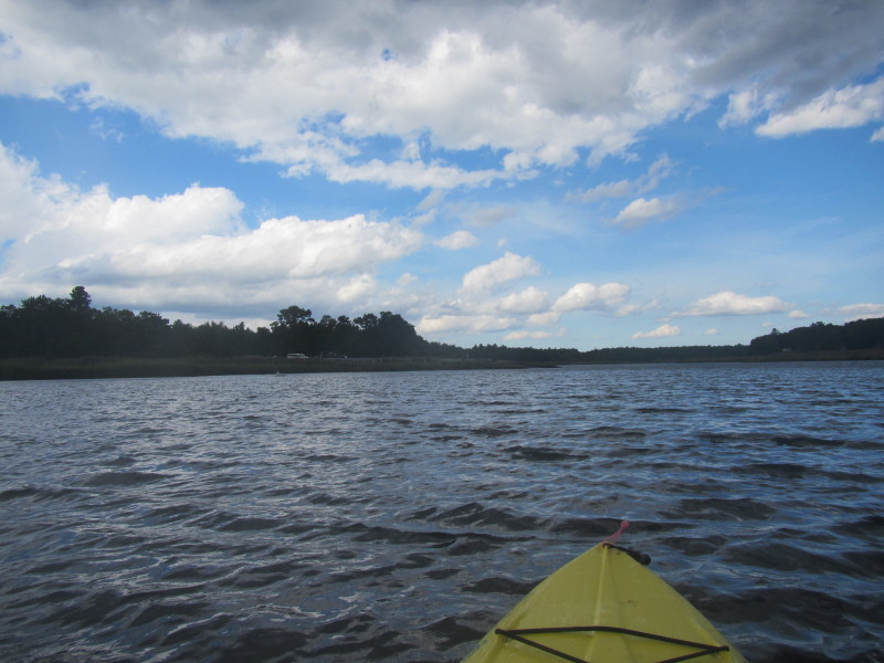
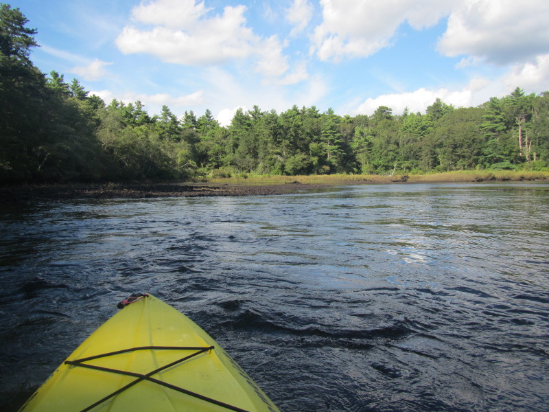
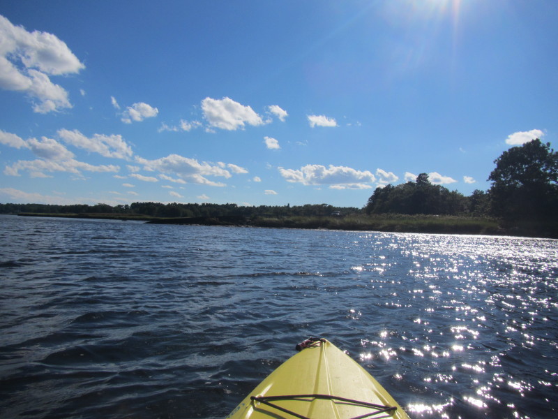
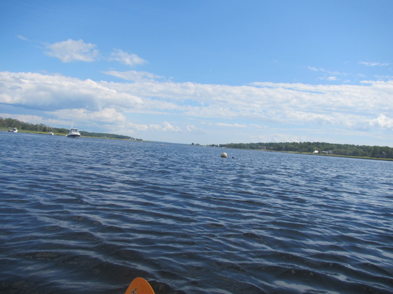 Looking to my left, the Weweantic River and Buzzards Bay.
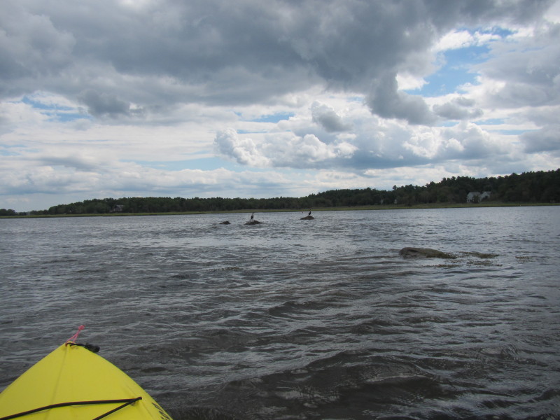
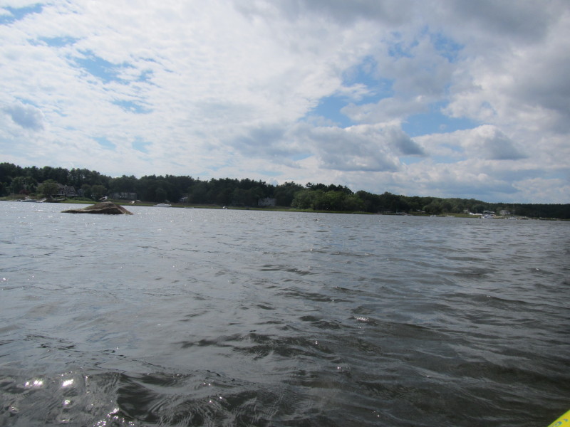
 I initially did not recognize this part of the river.
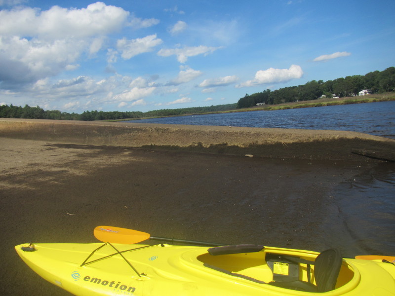
Until I realized the low tide exposed these rocks and the river looks different. 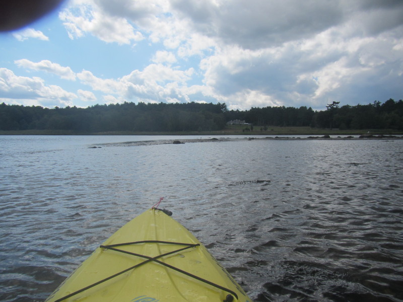 Stuck on this sandy/rocky area.
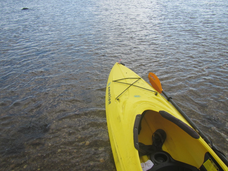 Have to get out of my kayak and pull it to the deeper area.
 Back into my kayak.
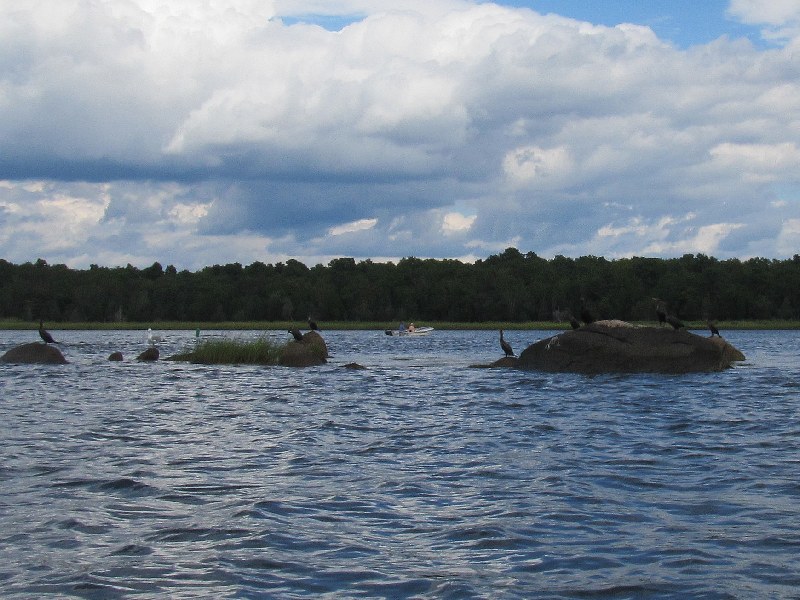
 There were only 2 to 3 rocks exposed earlier when the tide was higher.
 Two fishermen wading into the Weweantic River.
 I can see the Route 6 bridges now.
 On left is the mouth of the Sippican River.
Will kayak Sippican River on another day. 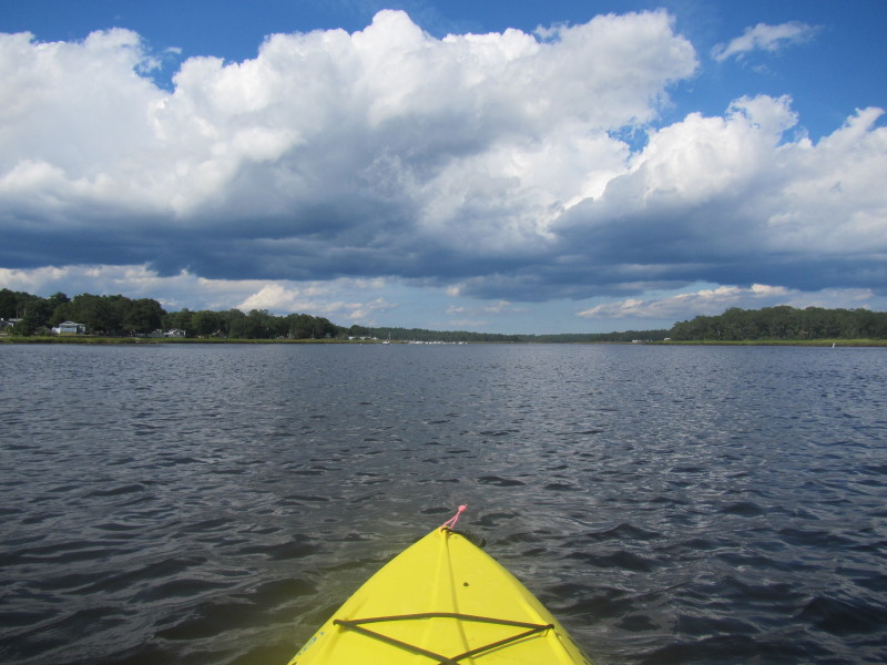

 On left is the boat ramp I launched from.
 Landed at the boat ramp to take a break.
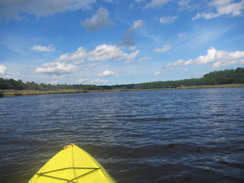
 Back to the Weweantic River.
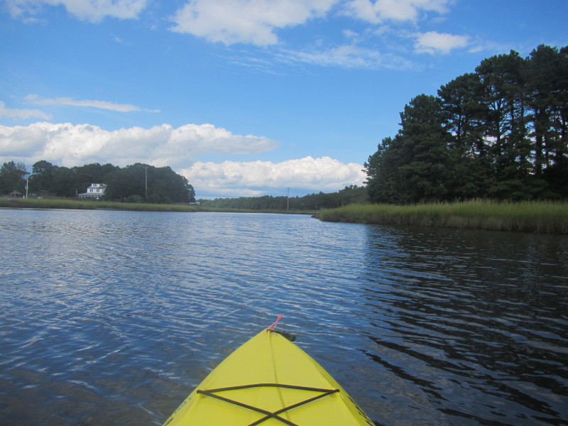
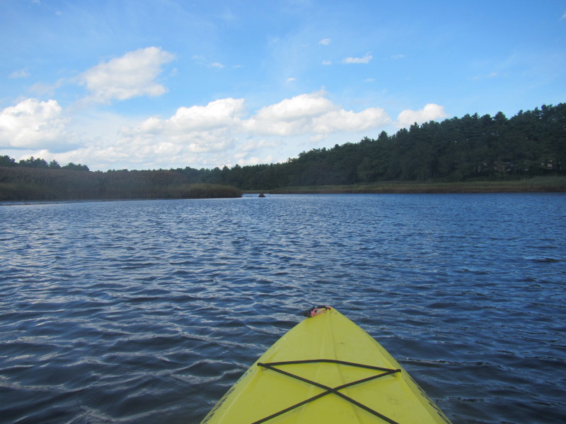
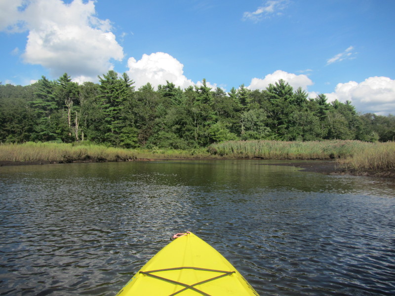
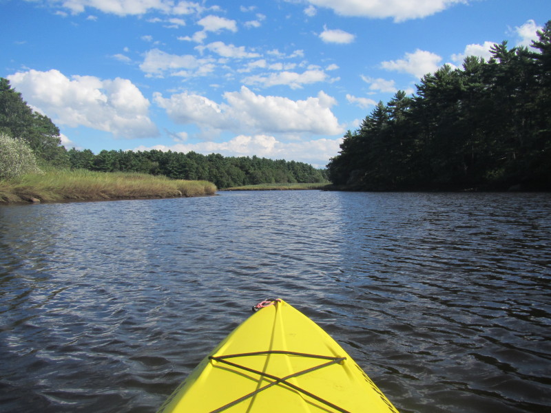
This time, I am heading north of the ramp. 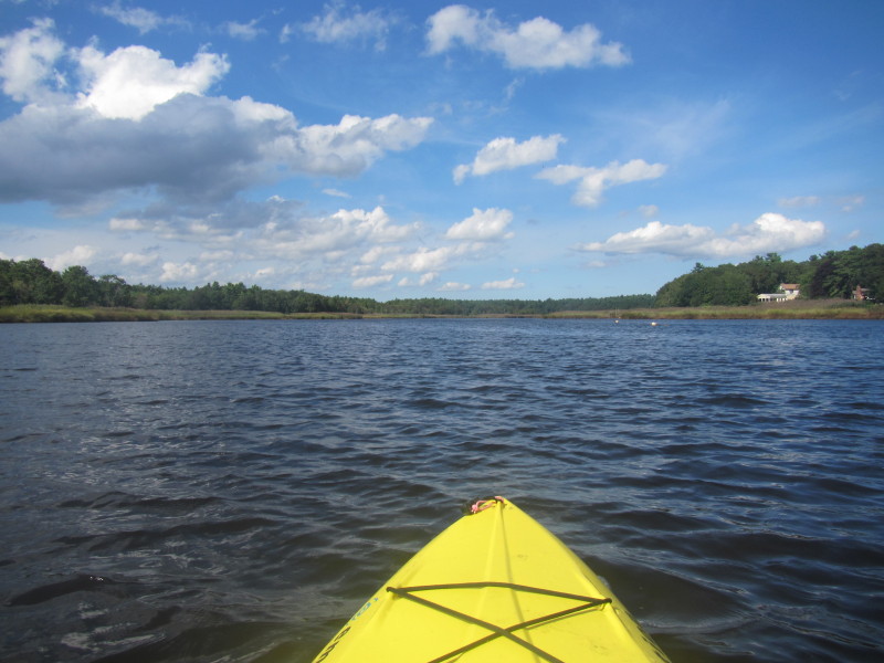
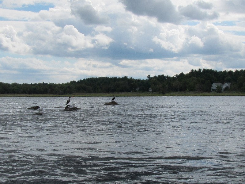
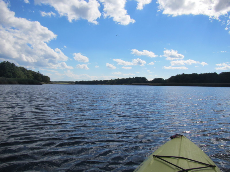
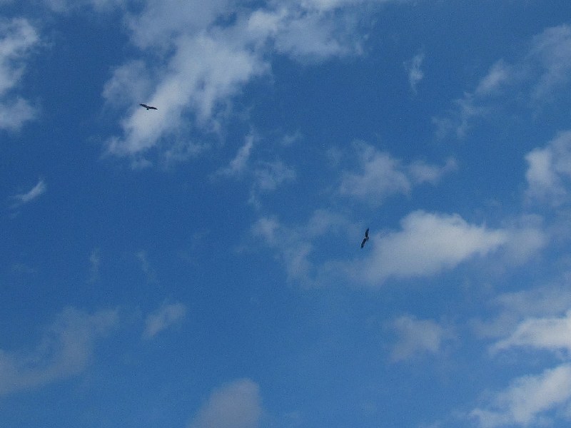 These birds are circling overhead and occassionally will dive into the water fishing.
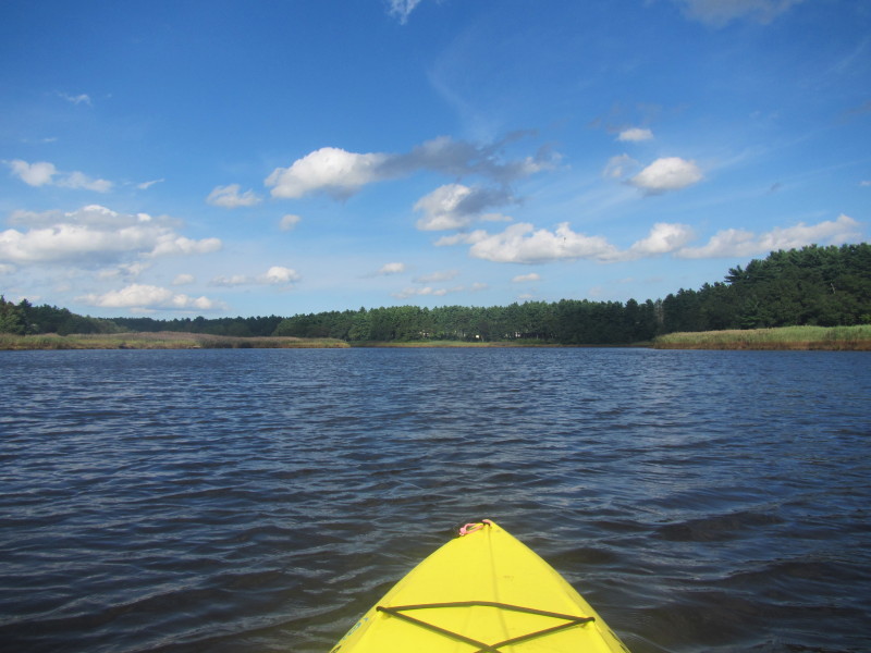
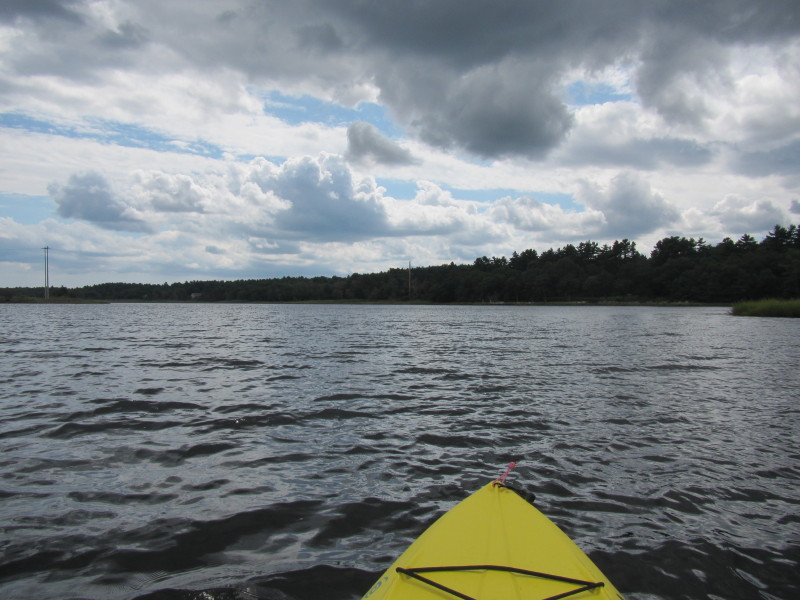
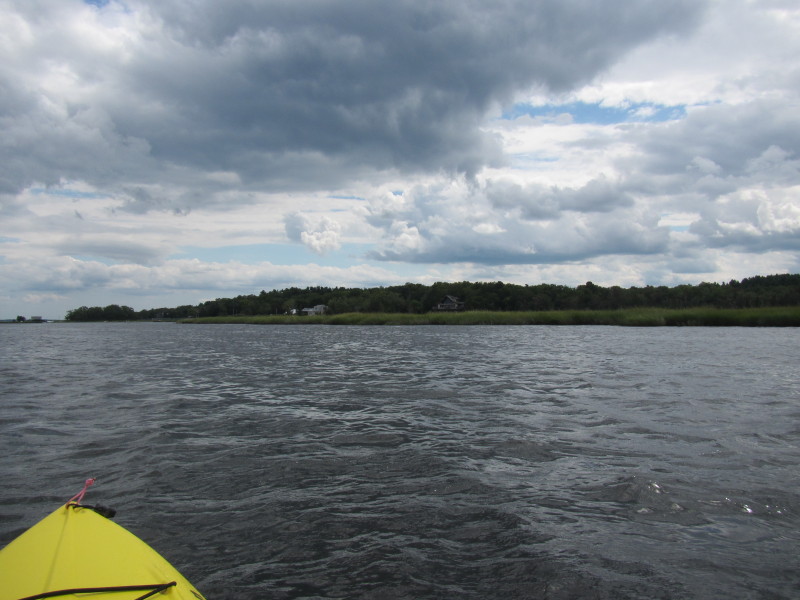
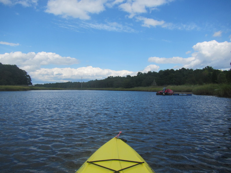
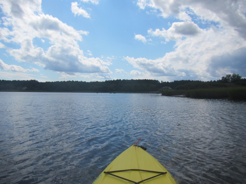
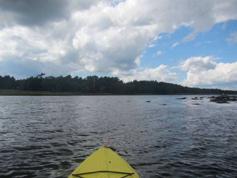
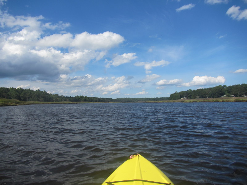
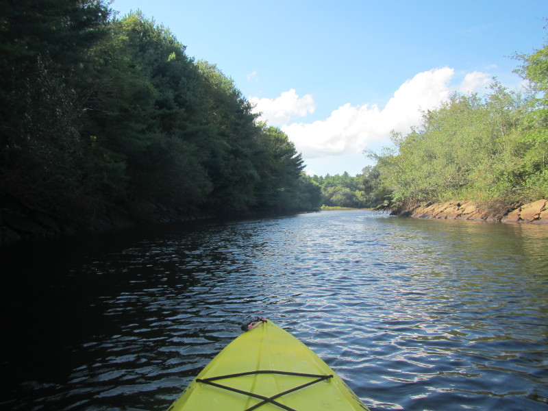
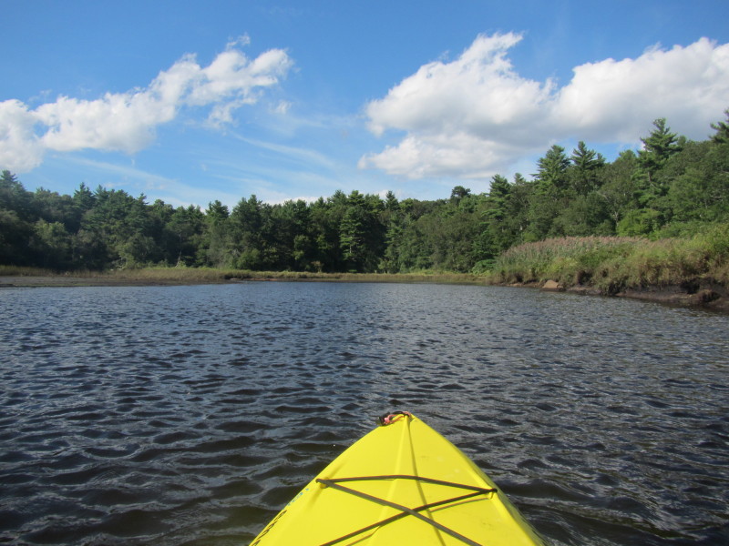
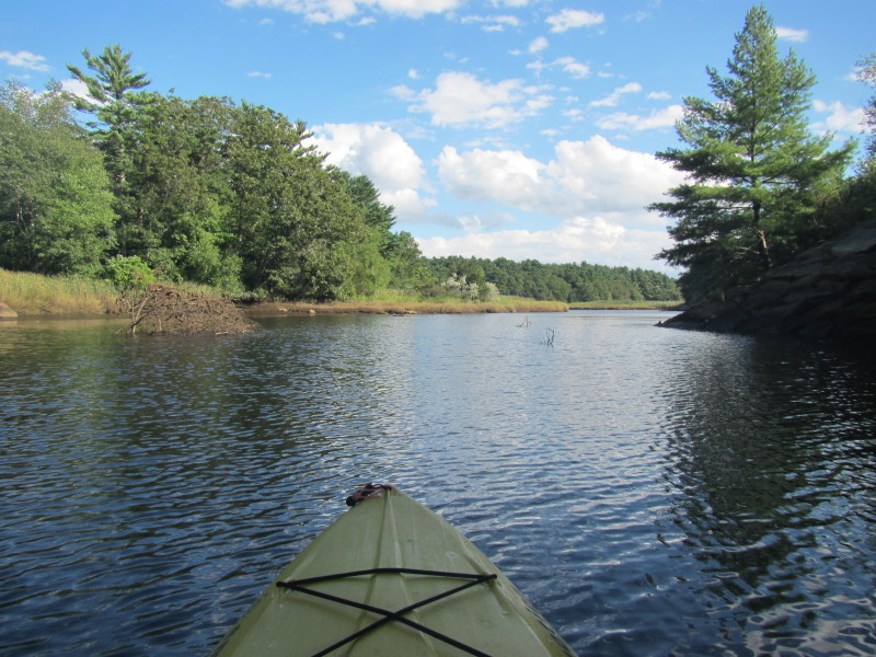
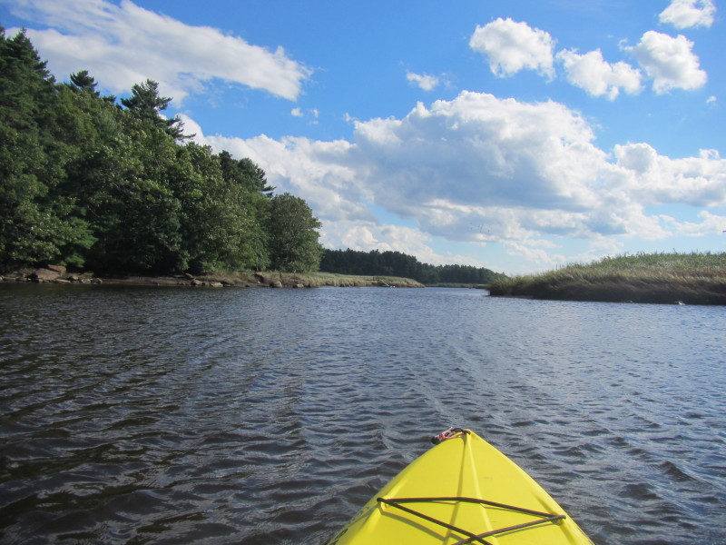
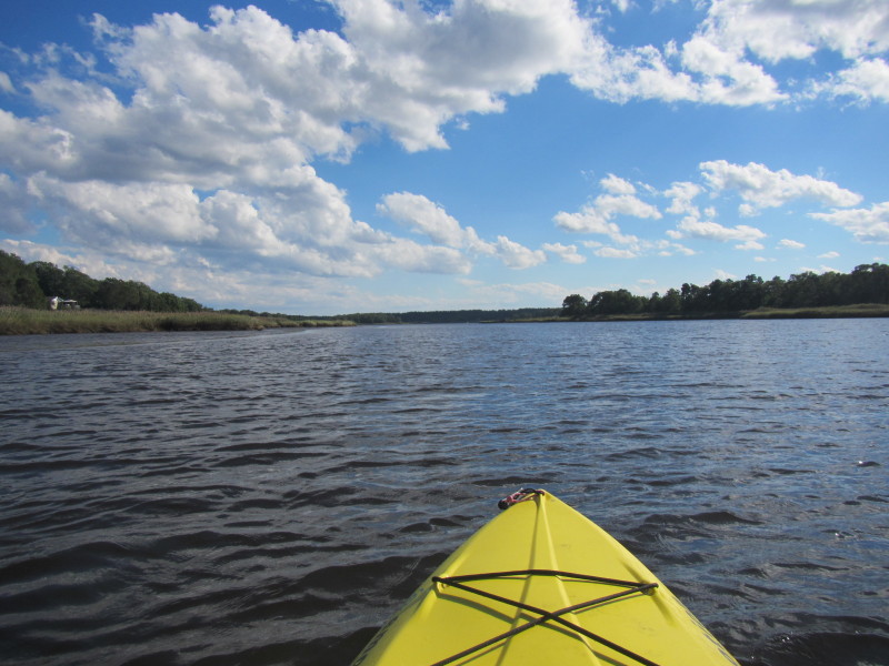
 River bending to the left.
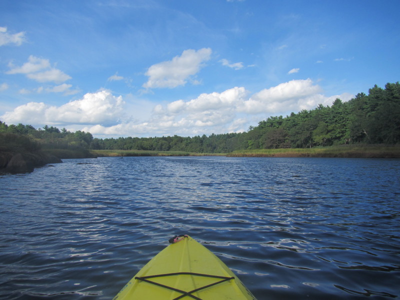
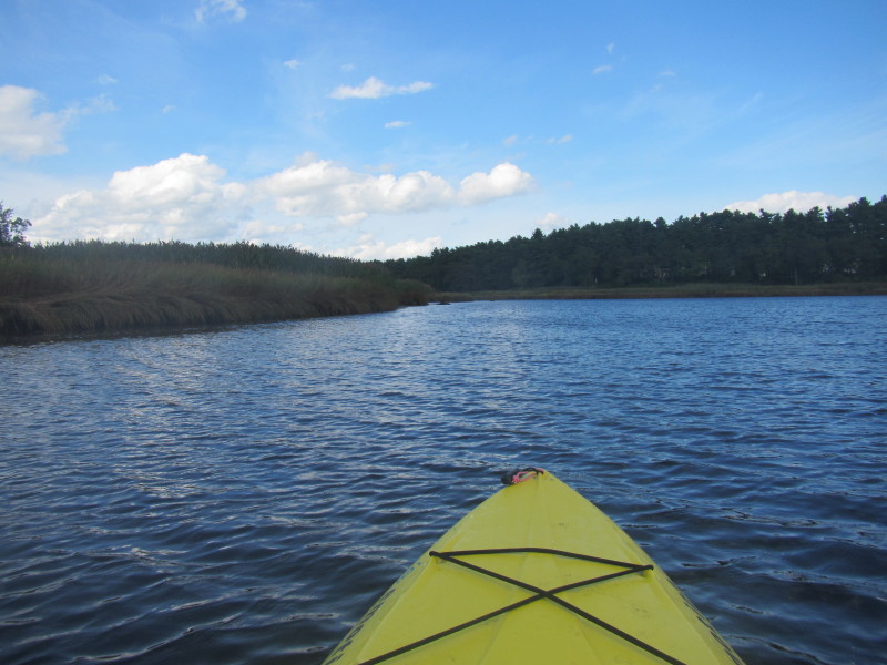
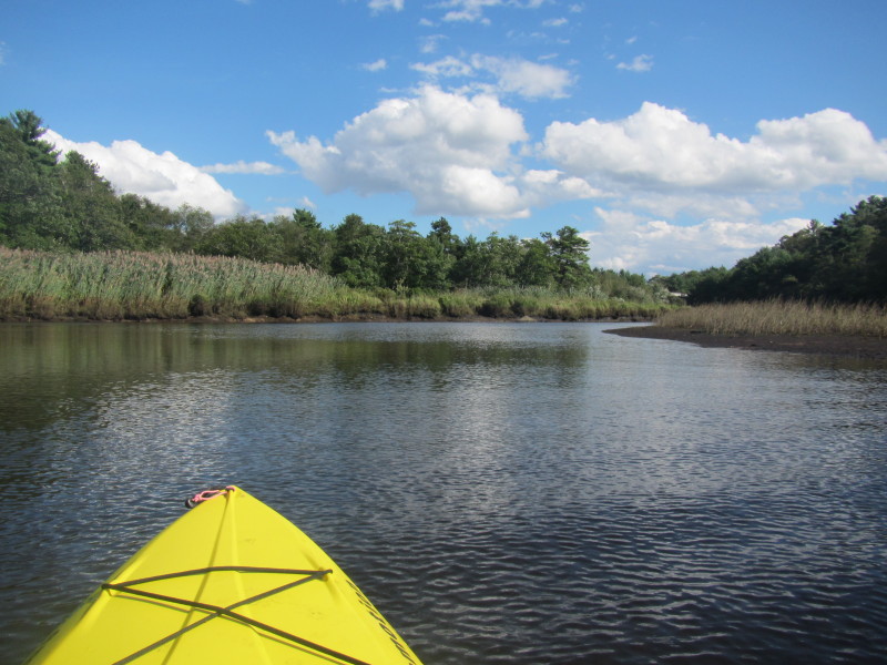
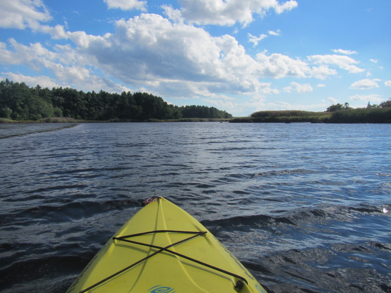
 More bending to the left . . .
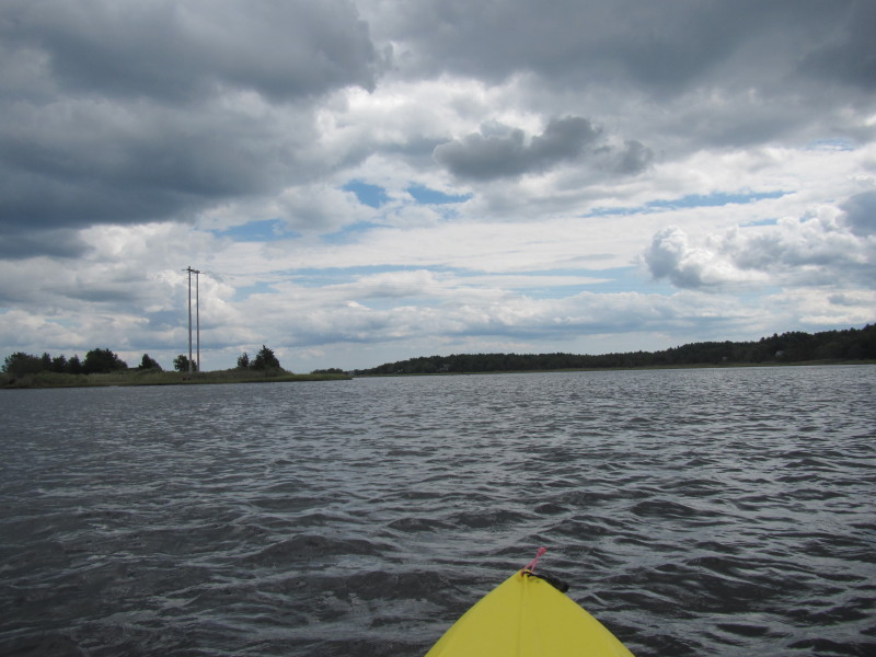
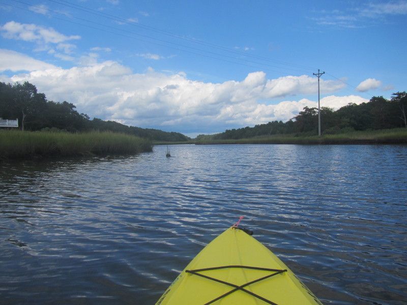
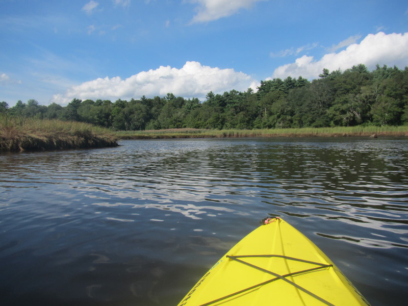
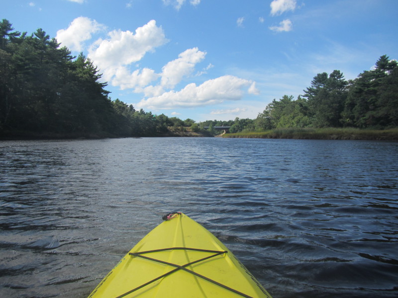
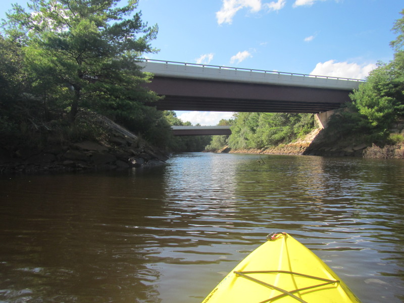
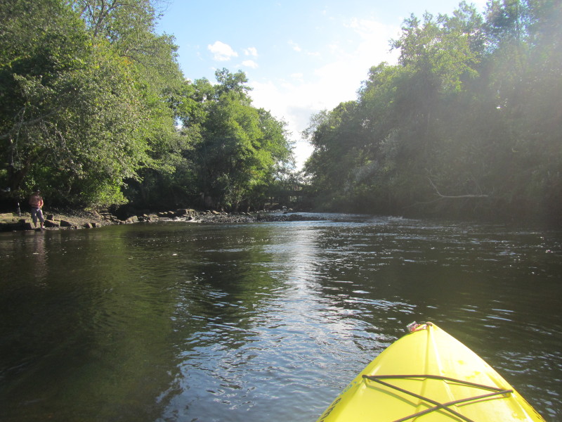
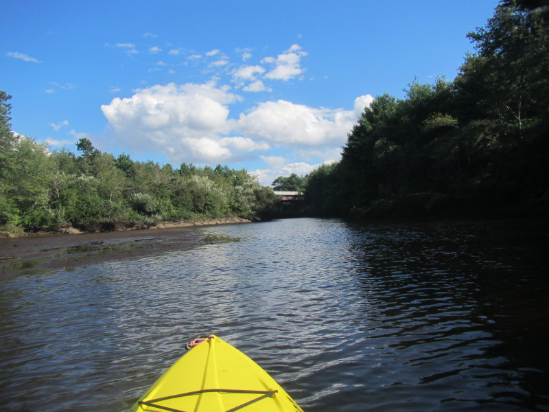
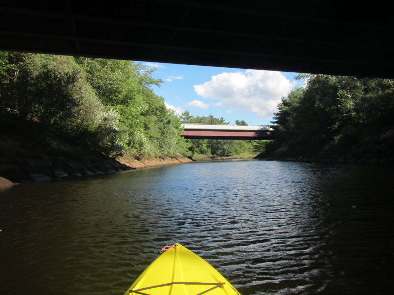
 I can see the I-195 bridges.
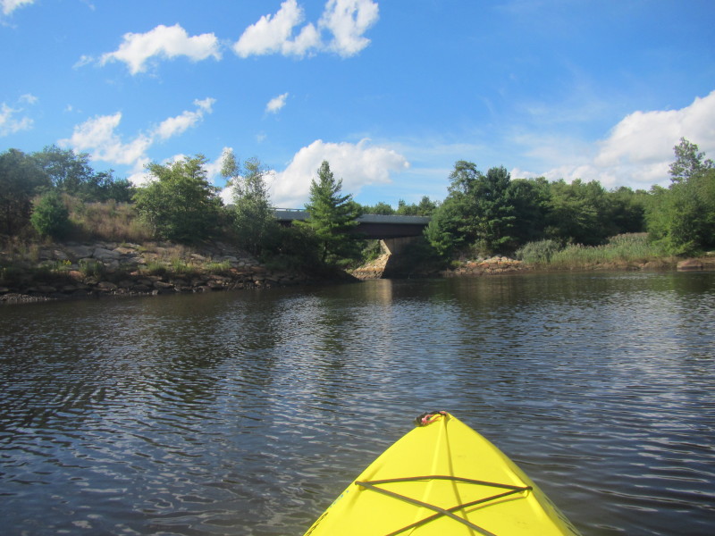
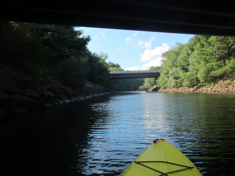
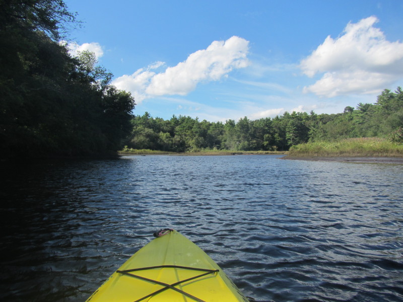
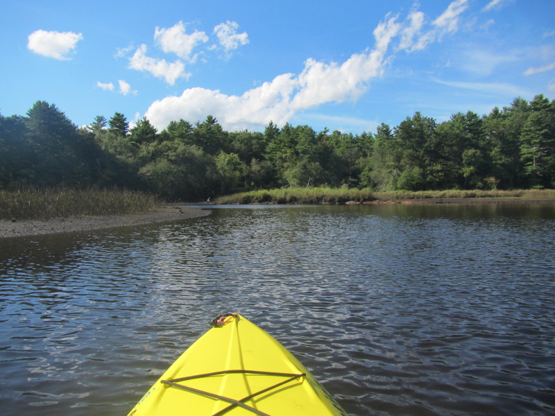
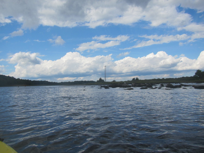
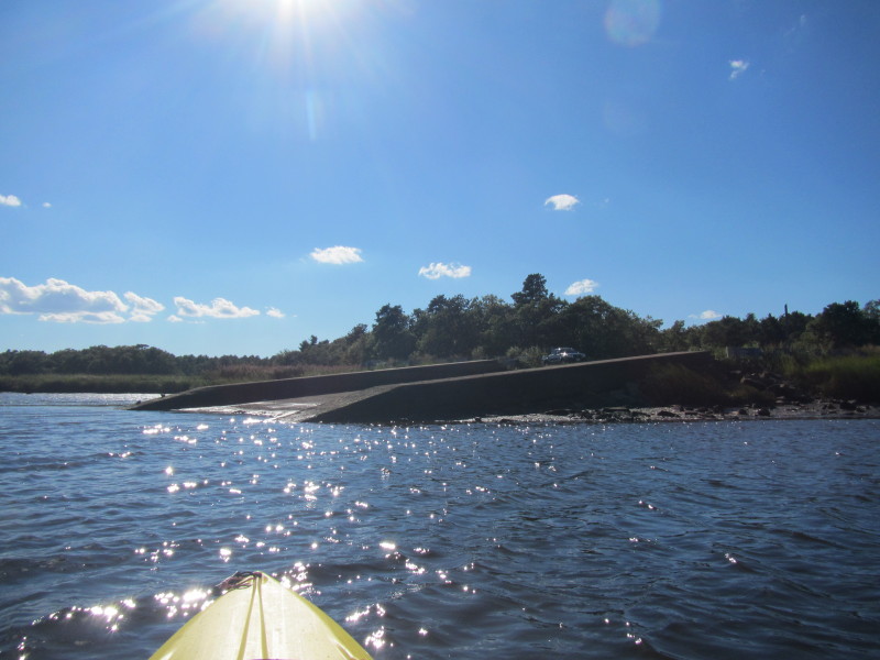
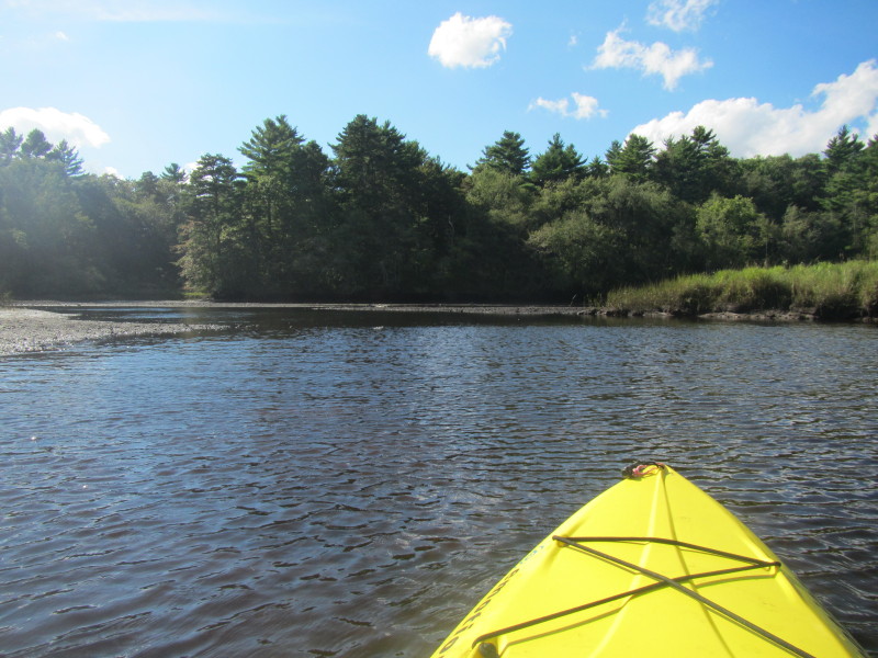 Its actually very shallow here.
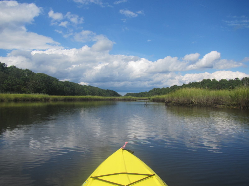
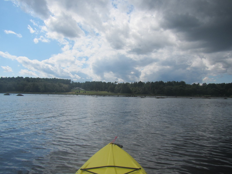
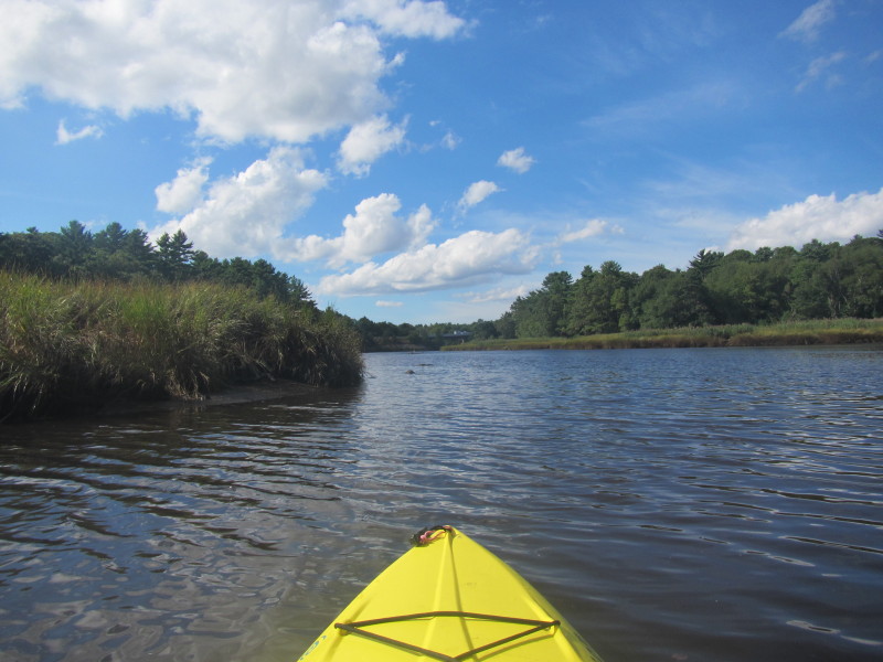
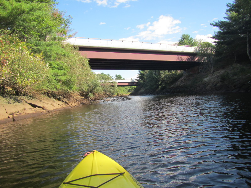
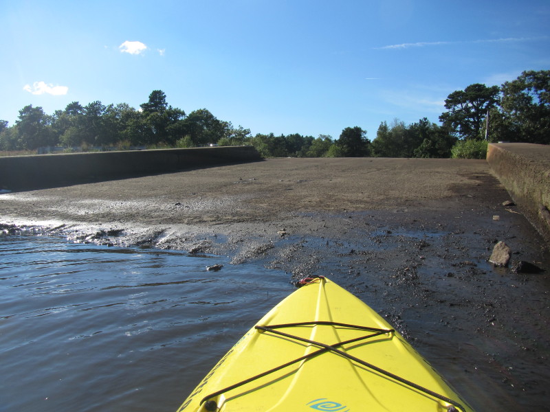
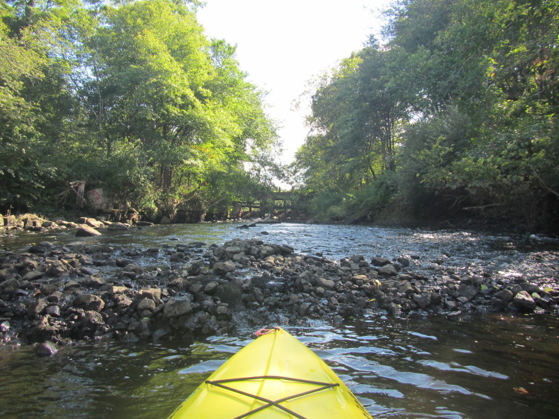 This is as far as I can go. The Horse Show Pond dam is in the center of the picture.
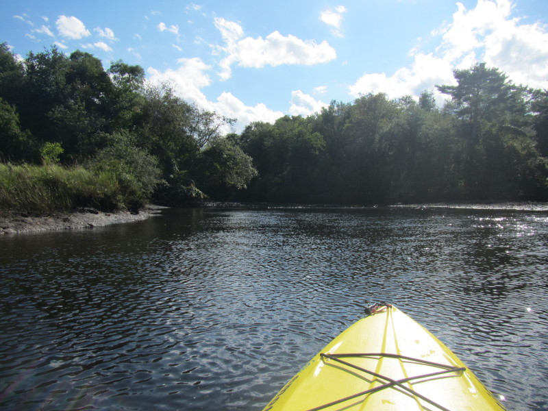
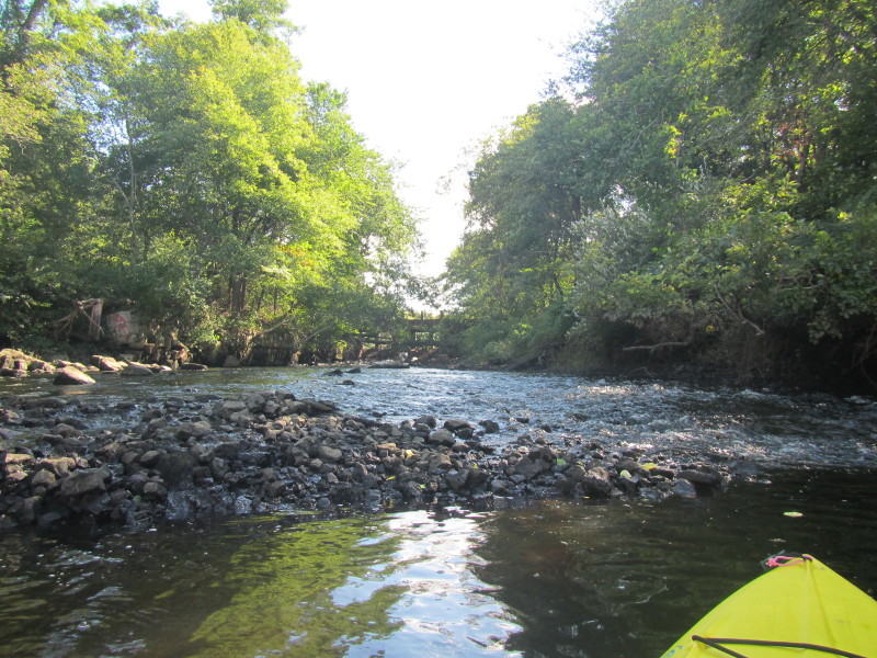 Turning around . . .
 Paddling with the flow.
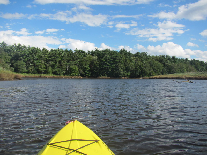
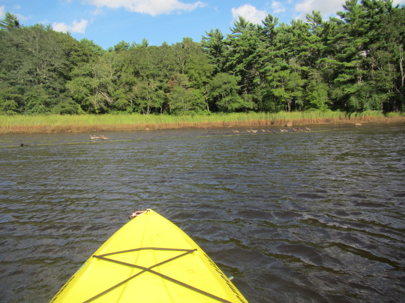 Ducks on Weweantic River.
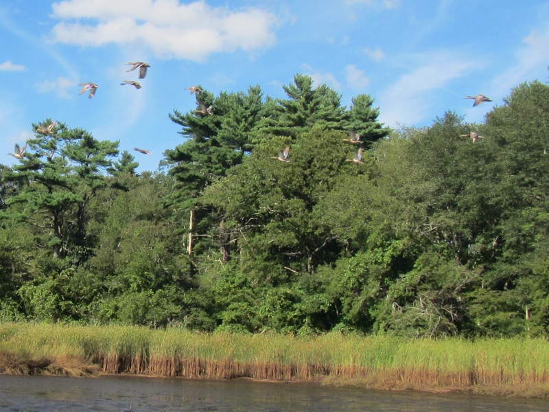 Ducks got frightened with my proximity and the group flew off.
 I can see my pick-up on the launch parking lot.
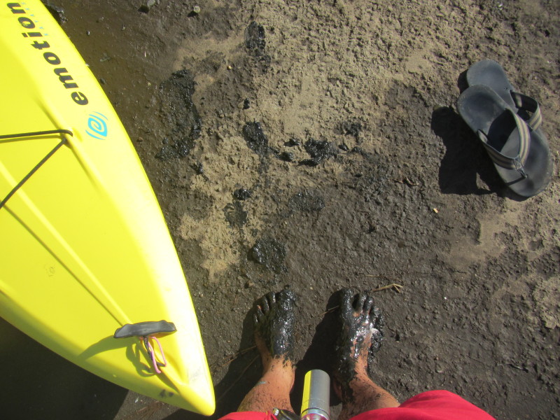 The low tide pulled the water below the concrete portion of the ramp and I have to step into the muck.
On the lighter side, my slippers are clean! 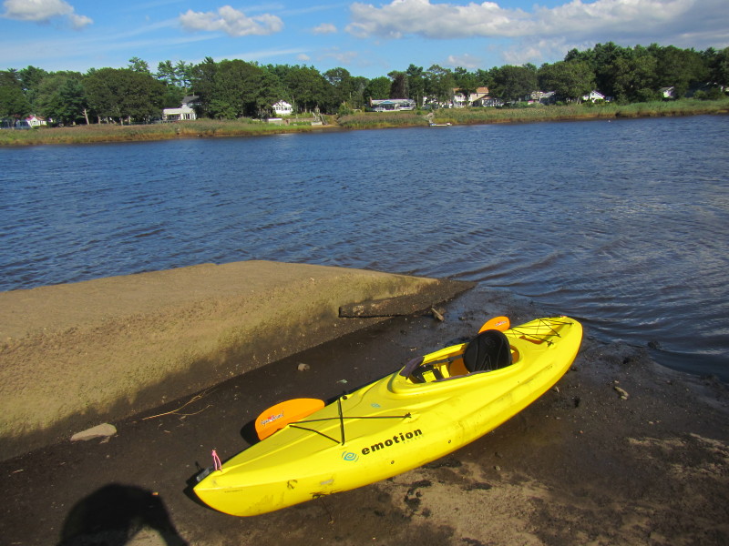 I paddled for about 3 hours 20 minutes today on the Weweantic River.
|