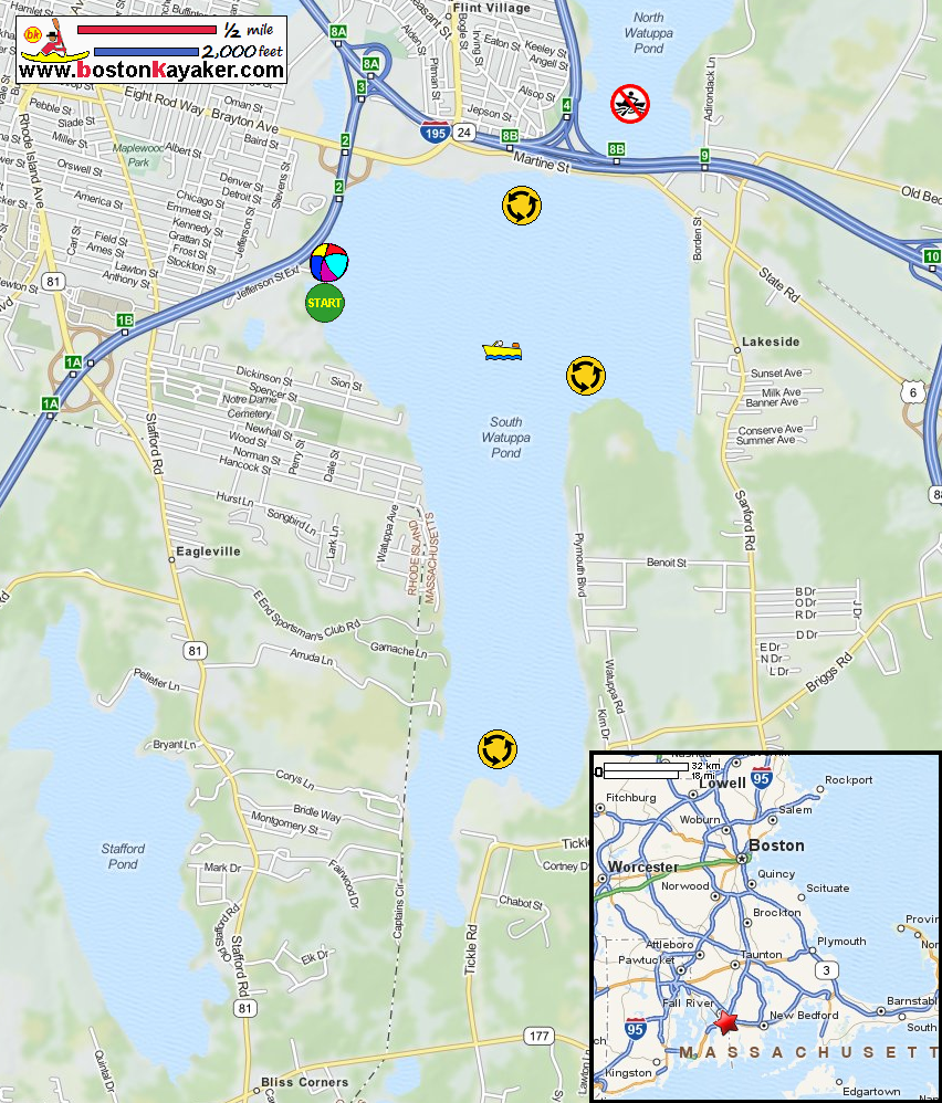
 Kayaker

| |||||||||||||||||||||||


|
Download printer-friendly
PDF version that fits in one page: |

|
|
Other resources:
Secret Landscapes: Stone Rows of South Watuppa Pond, West Shore City of Fall River MA: South Watuppa Pond Wikipedia: Watuppa Ponds All photos in this website are original and copyrighted. 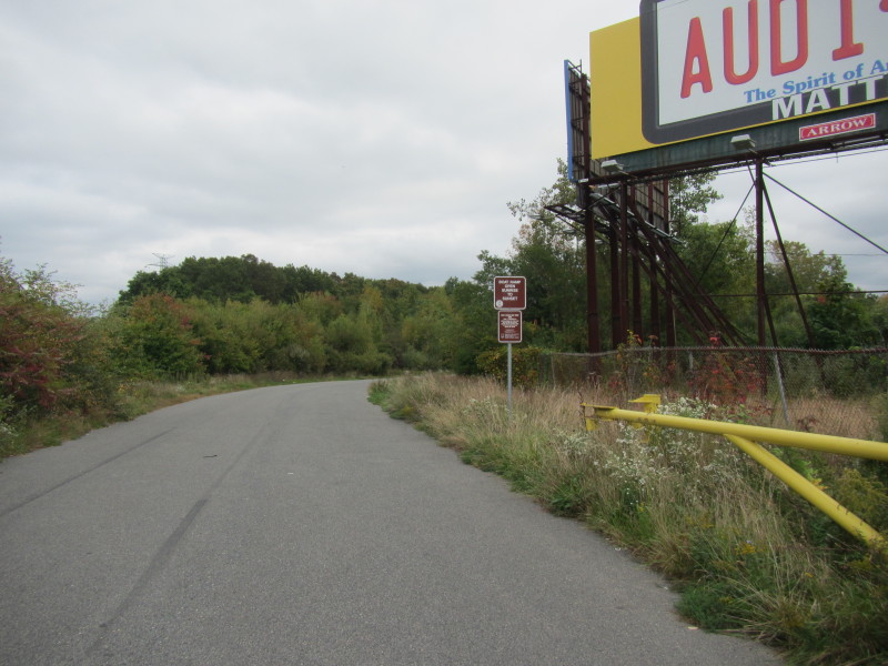 At the gated entrance to the South Watuppa Pond boat ramp.
Trip date is October 2013.
At the gated entrance to the South Watuppa Pond boat ramp.
Trip date is October 2013.
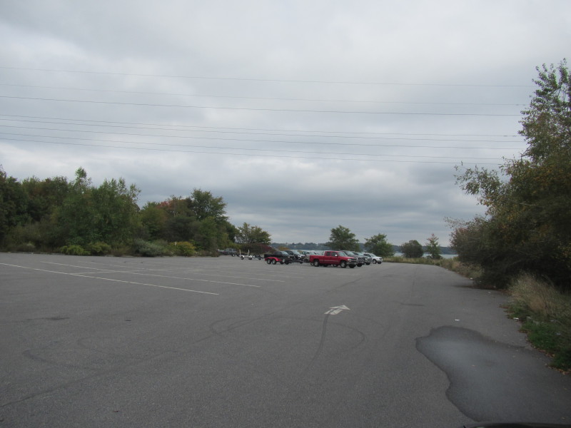 South Watuppa Pond launch parking lot on Jefferson Street Extension in Fall River MA.
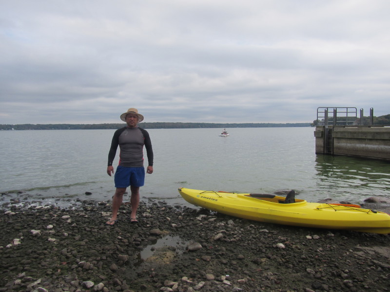 The Boston Kayaker on South Watuppa Pond.
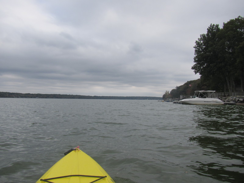
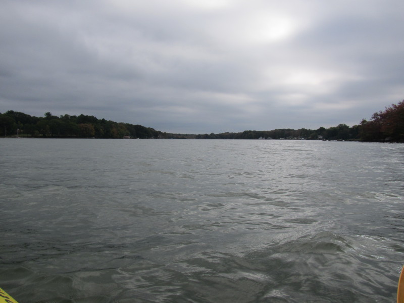
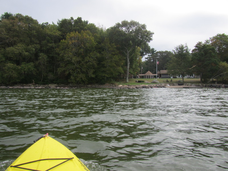
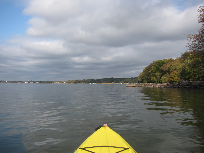
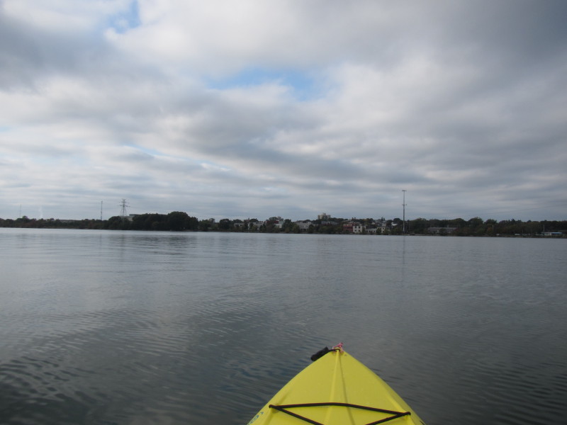
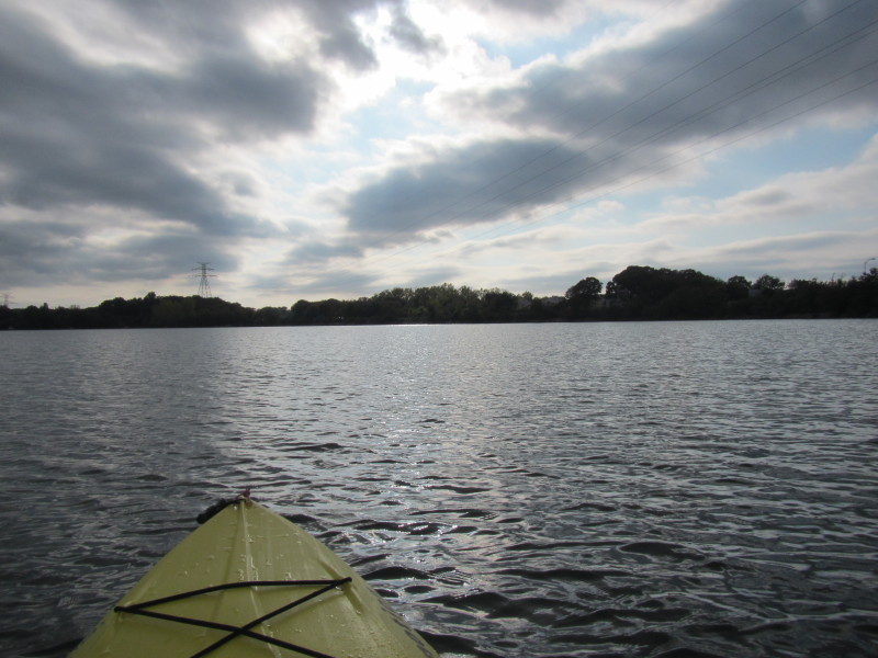
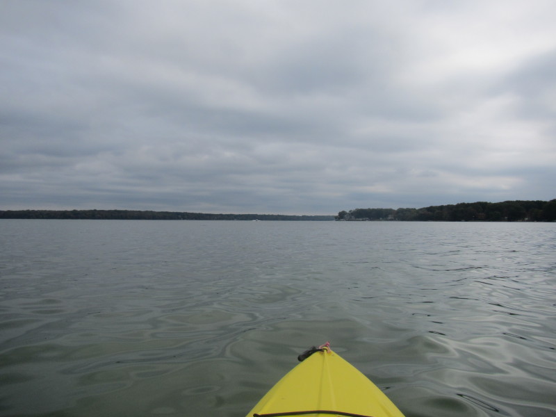 Just launched on South Watuppa Pond.
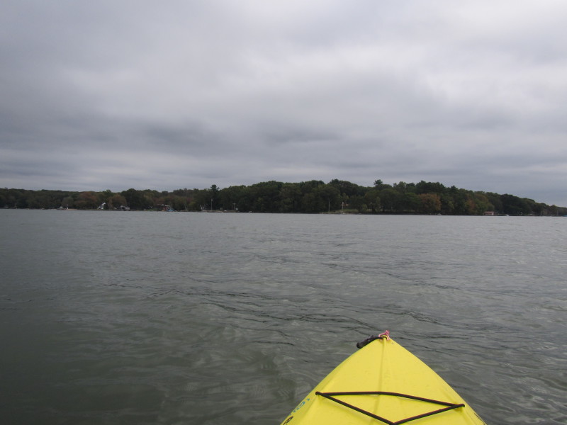
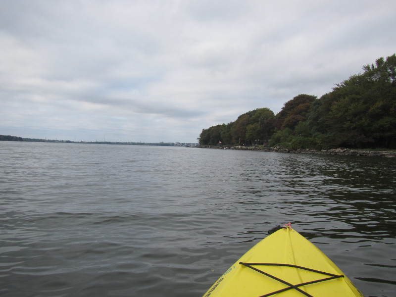
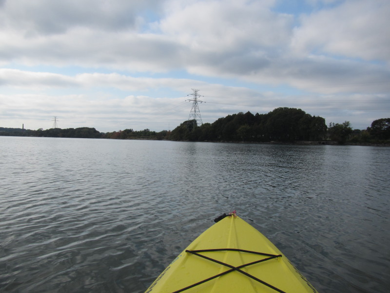
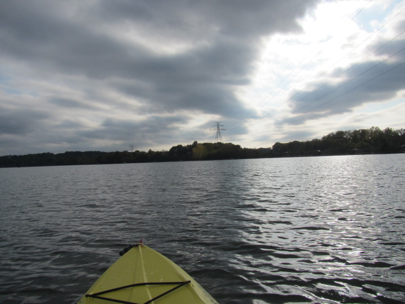
 Decided to paddle to my right and go south for a counter-clockwise go around this pond.
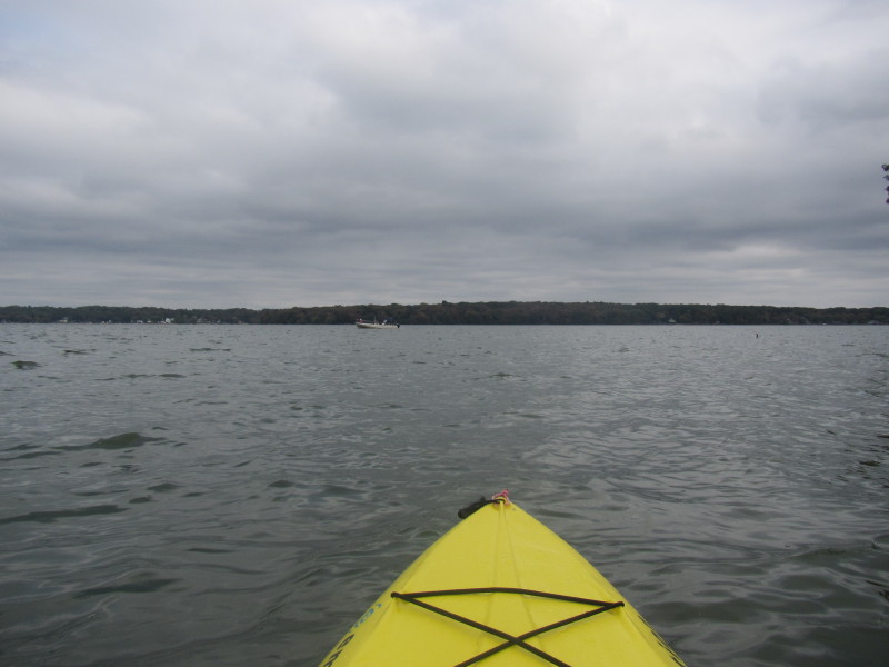
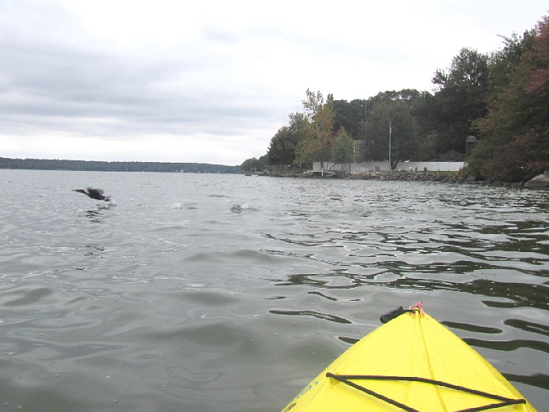
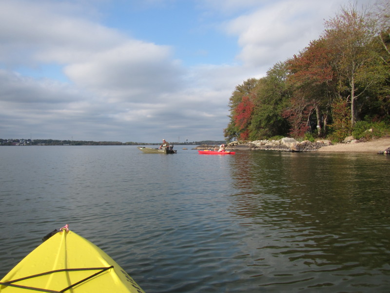
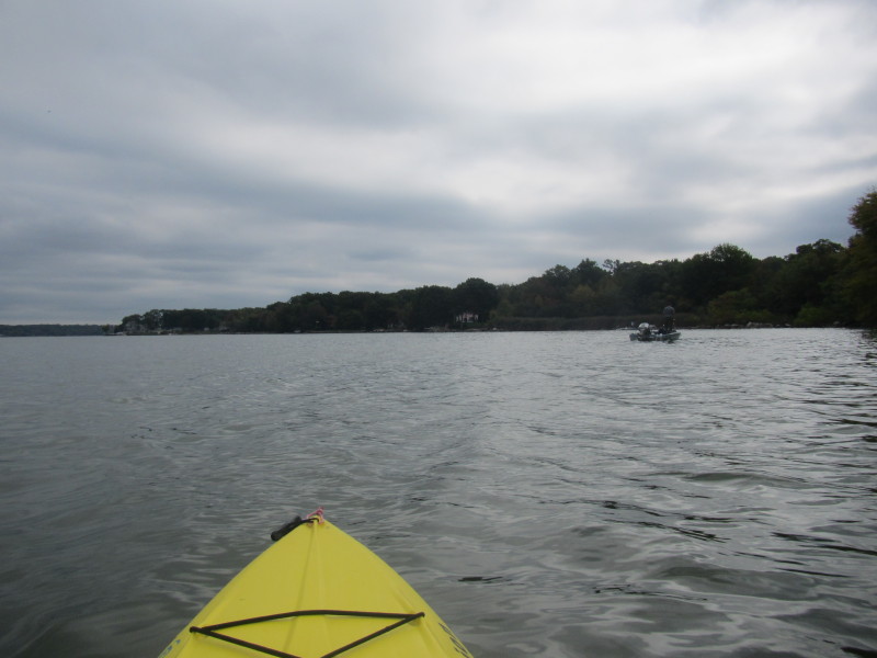 A fisherman on his boat on South Watuppa Pond.
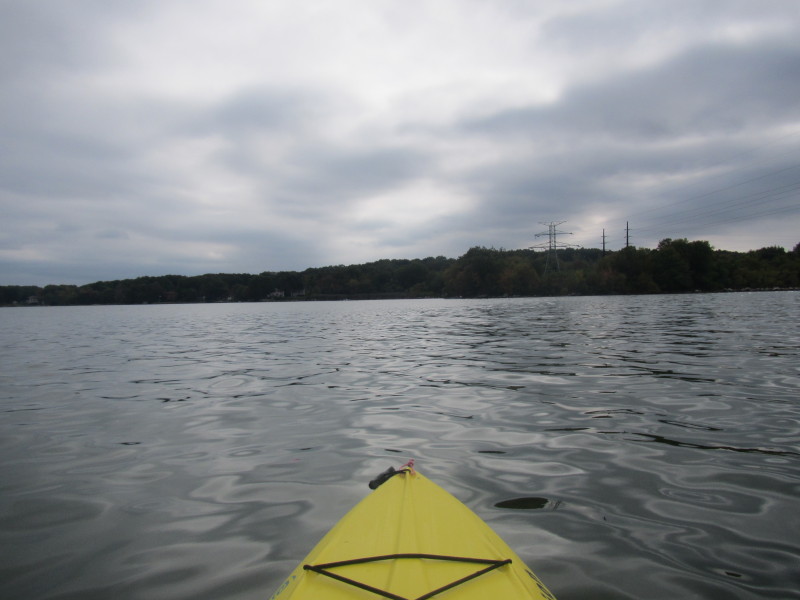
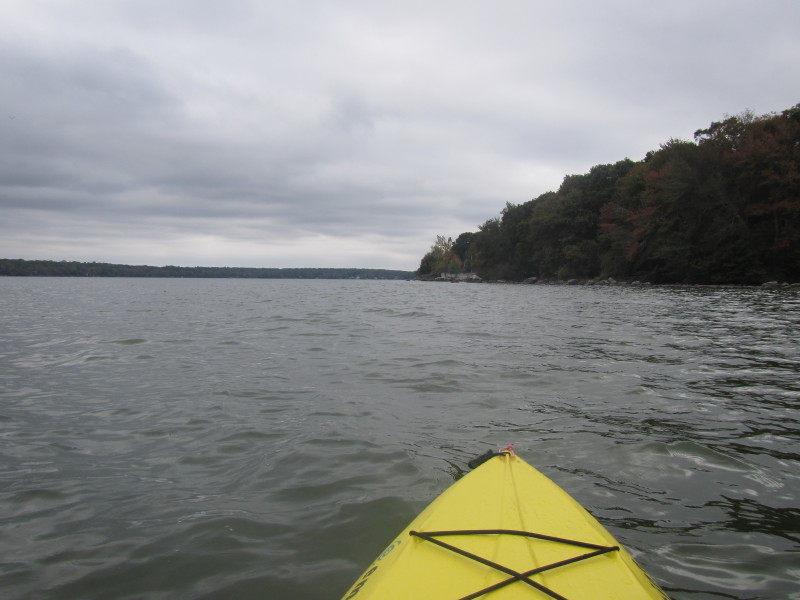
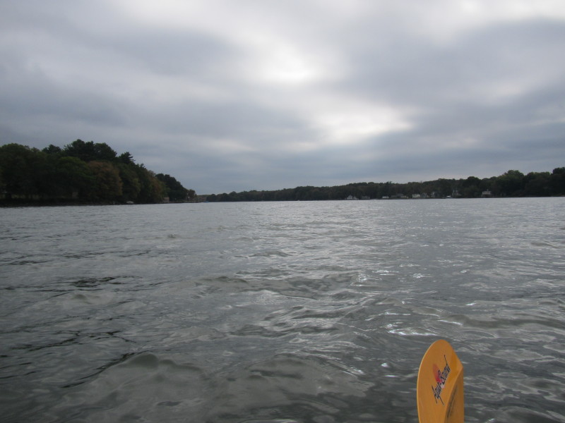
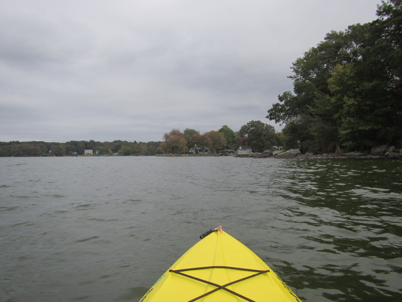
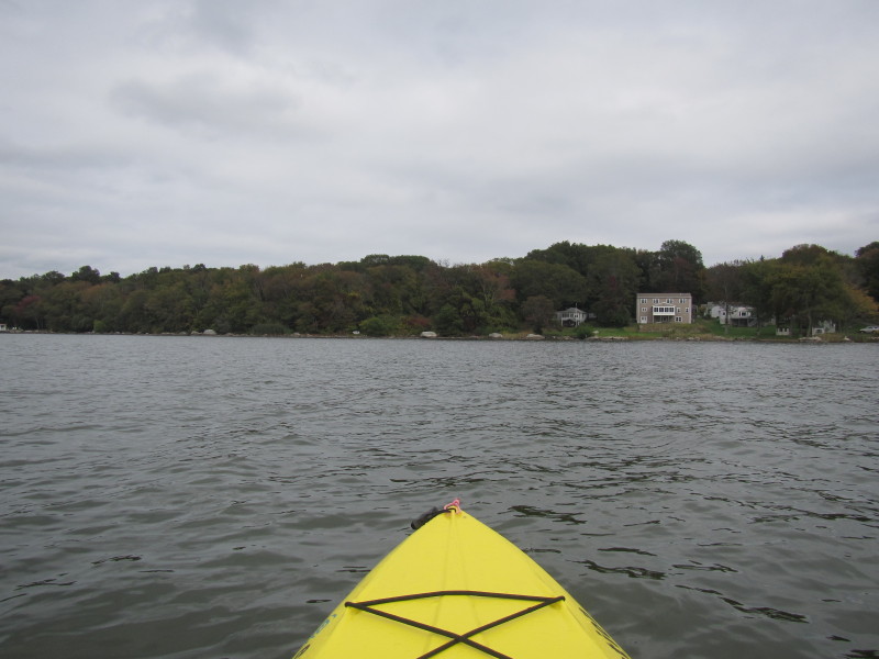
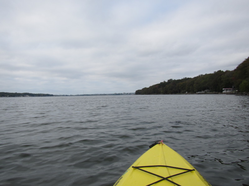
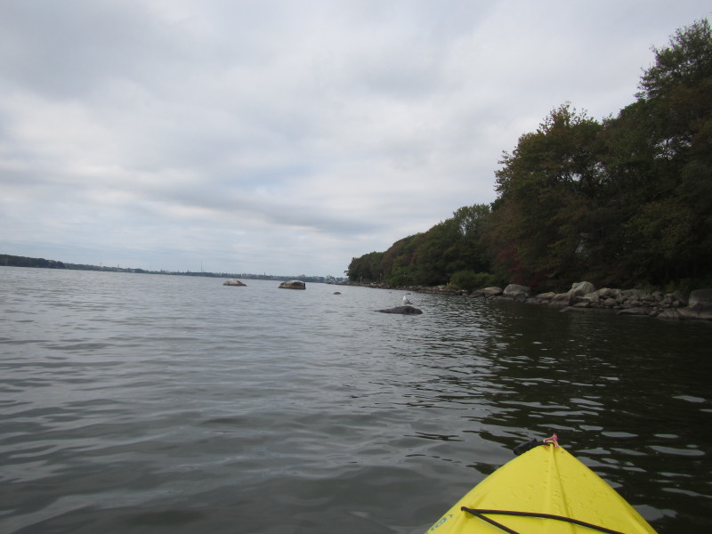
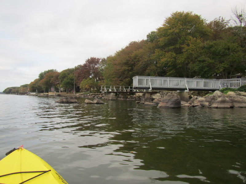
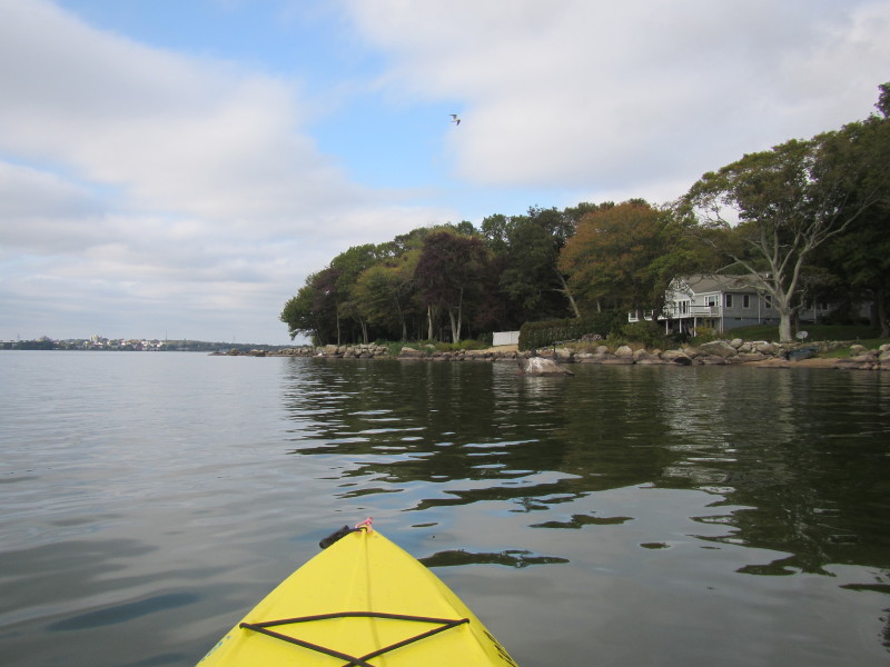
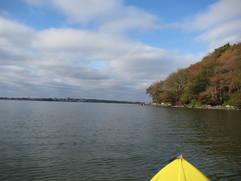
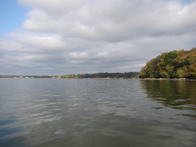
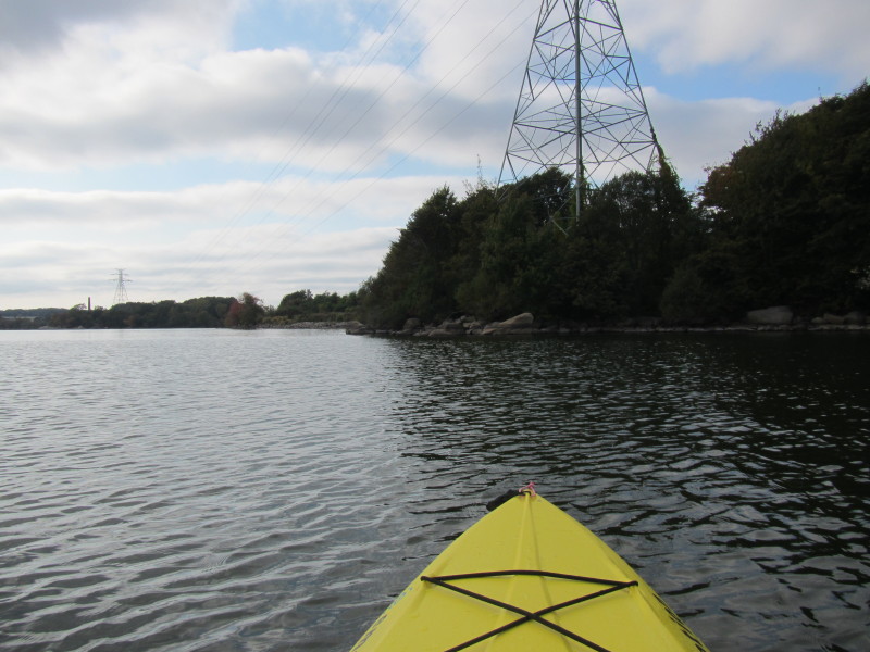
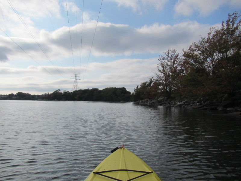
 Hugging the westerly shore on my right.
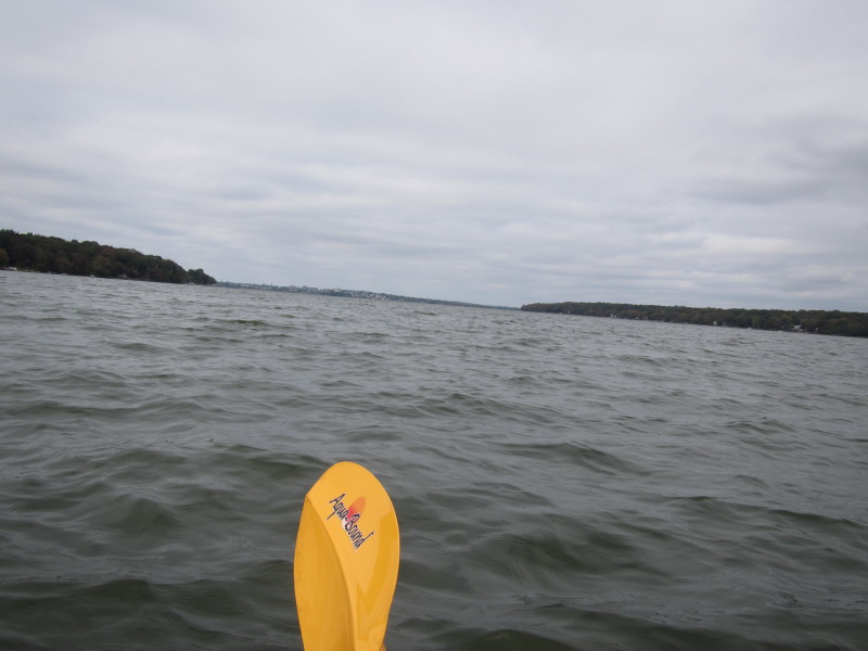
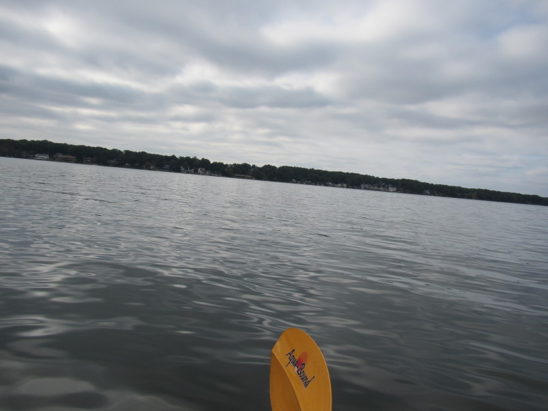
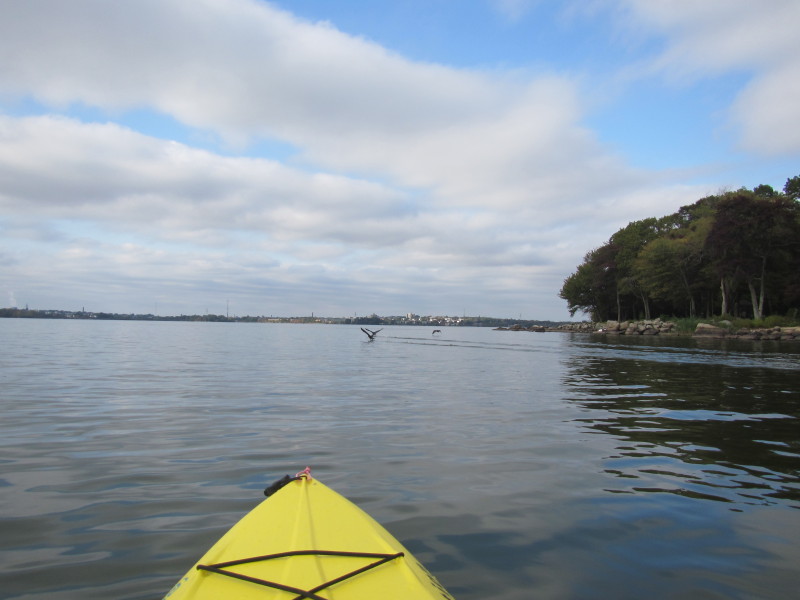
 Looking to my left, the easter shore of South Watuppa Pond on the horizon.
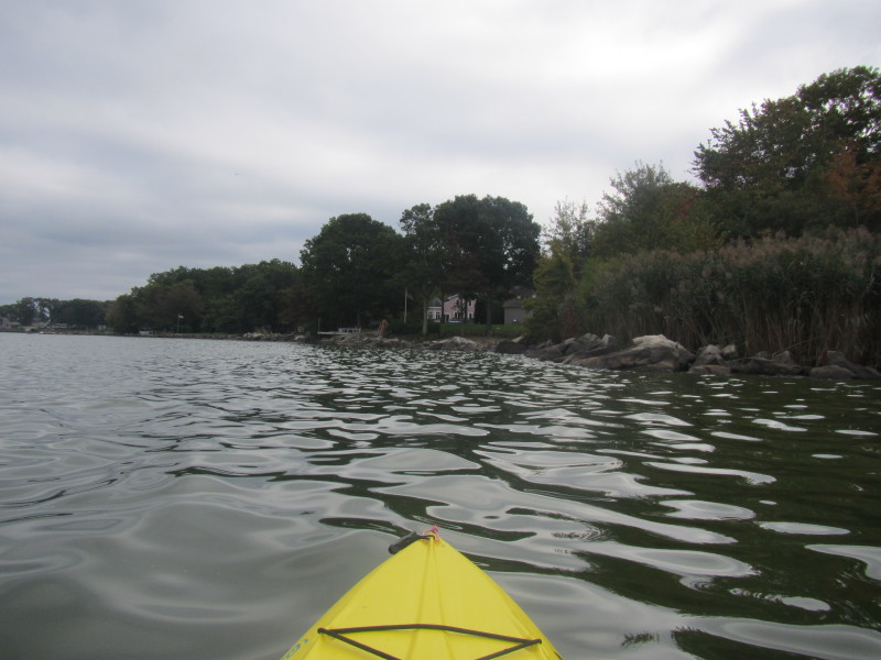
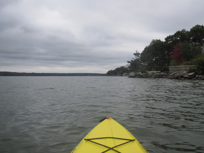
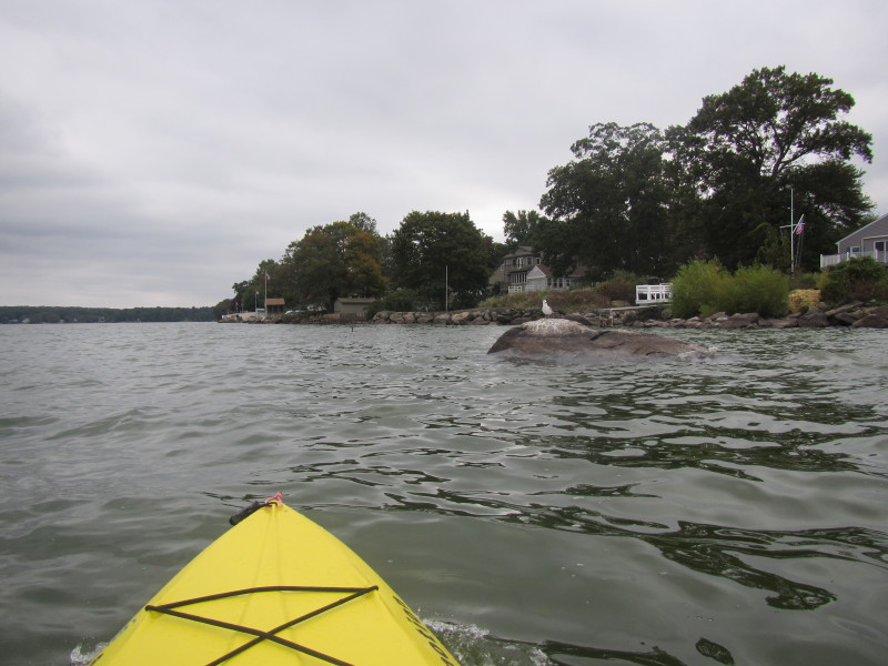
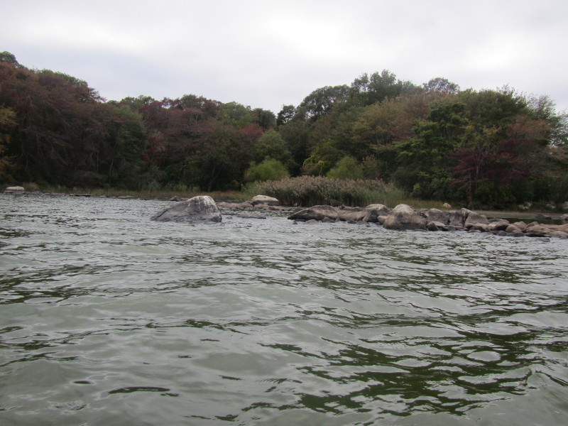
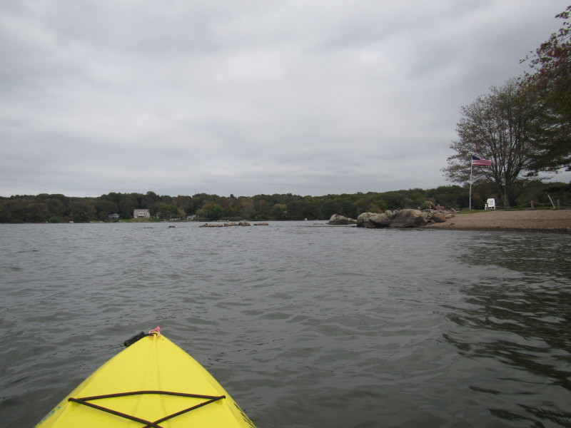
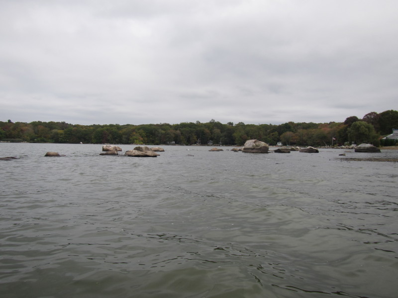
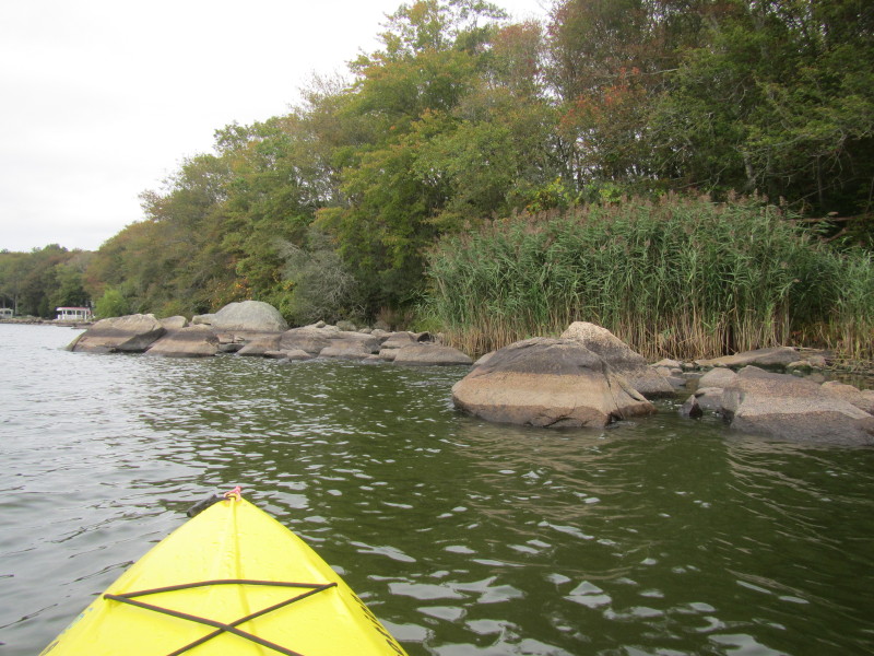
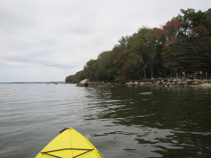
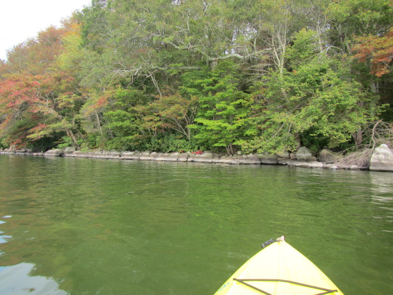
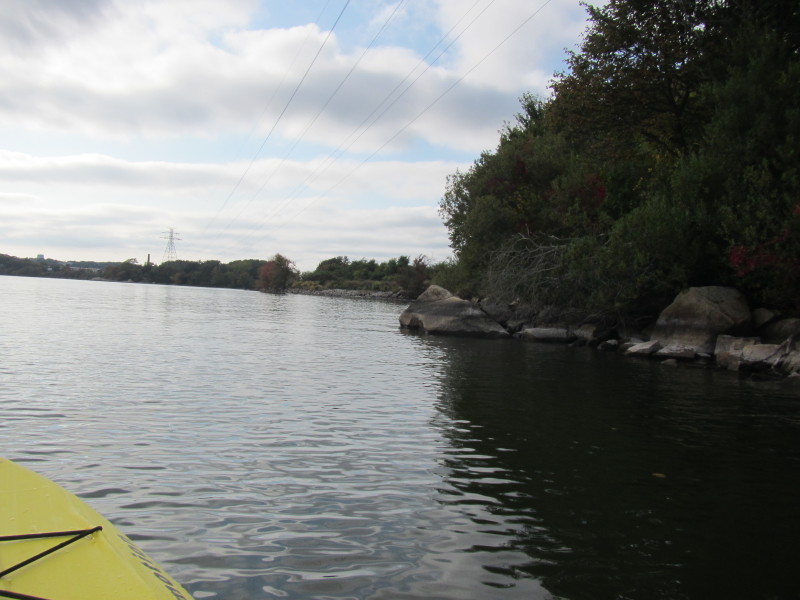
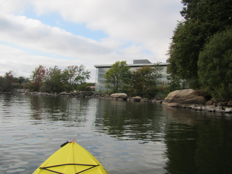
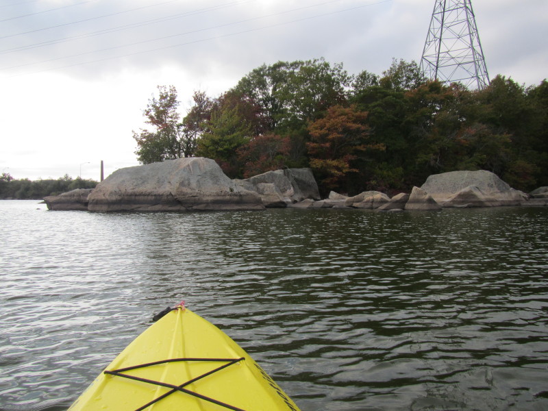
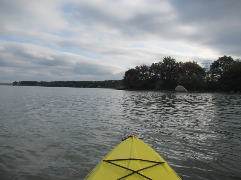
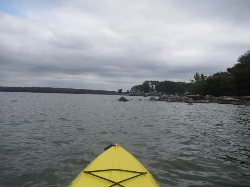 Rock outcroppings on South Watuppa Pond.
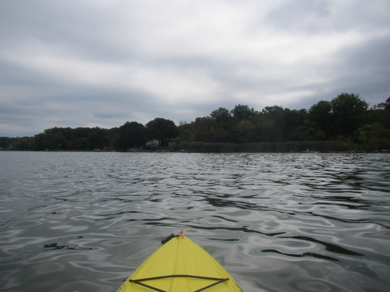
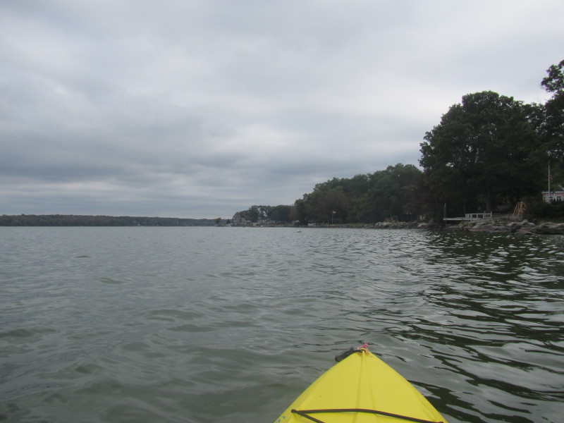
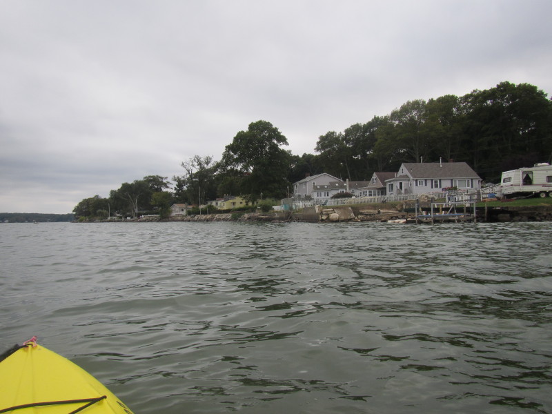
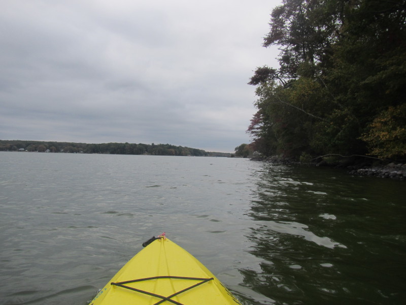
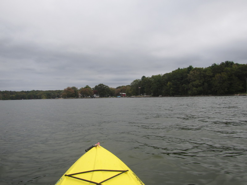
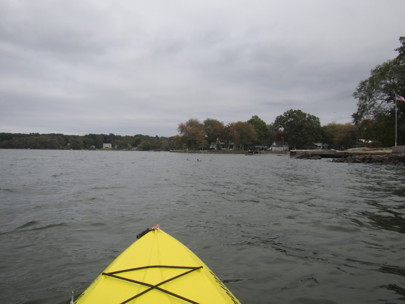
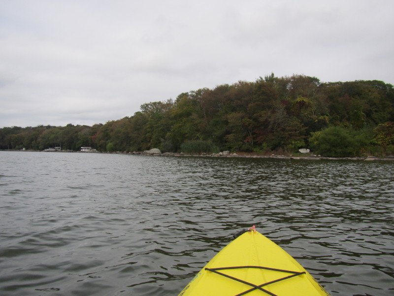
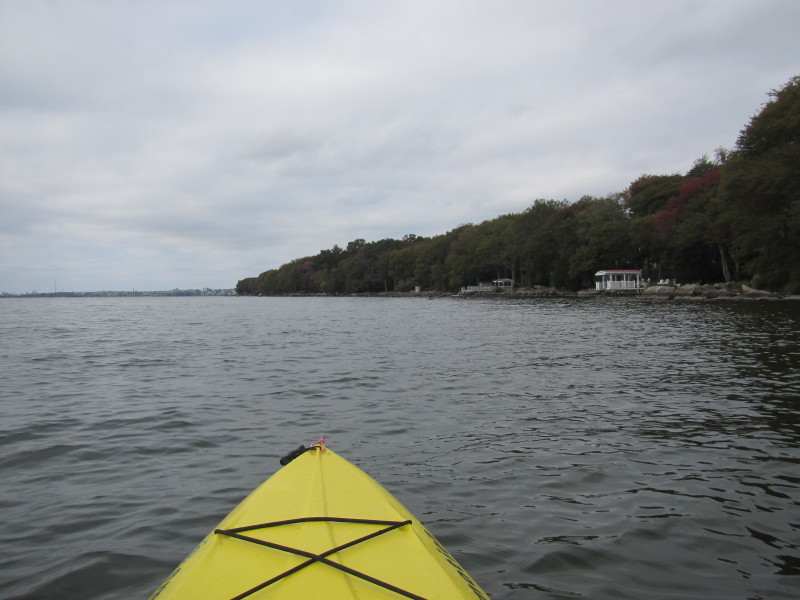
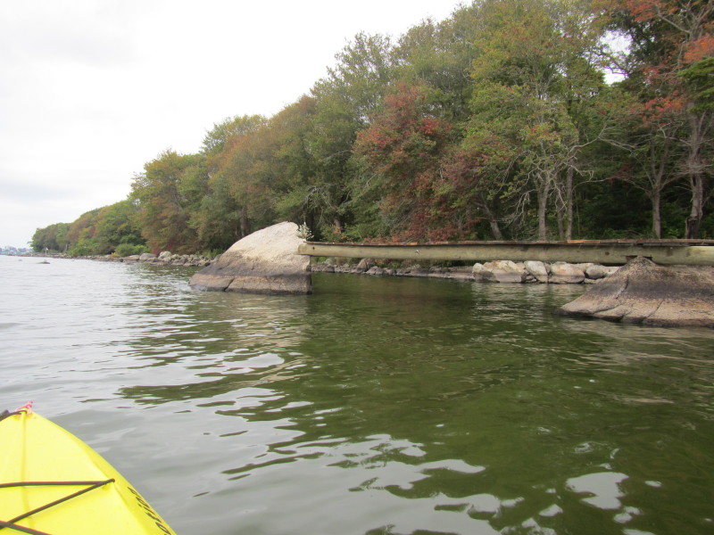
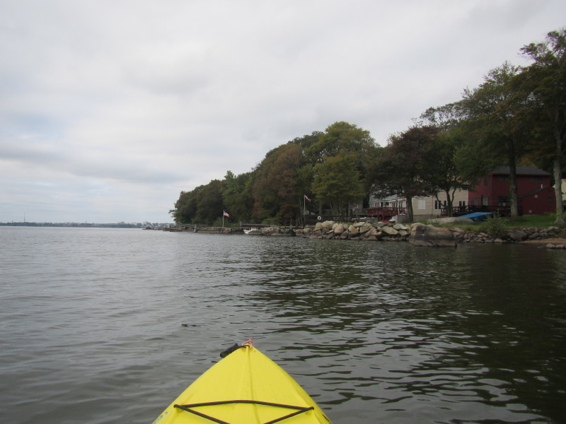
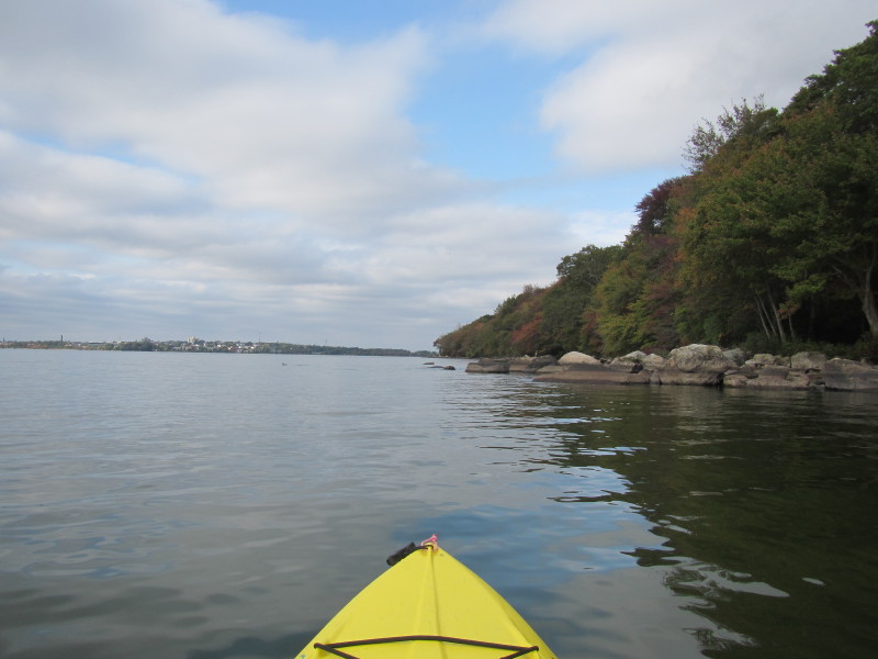
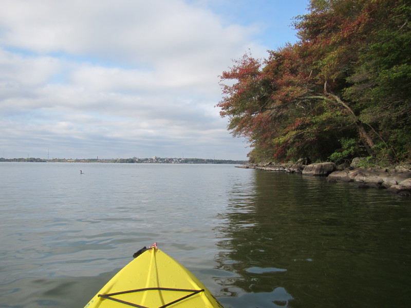
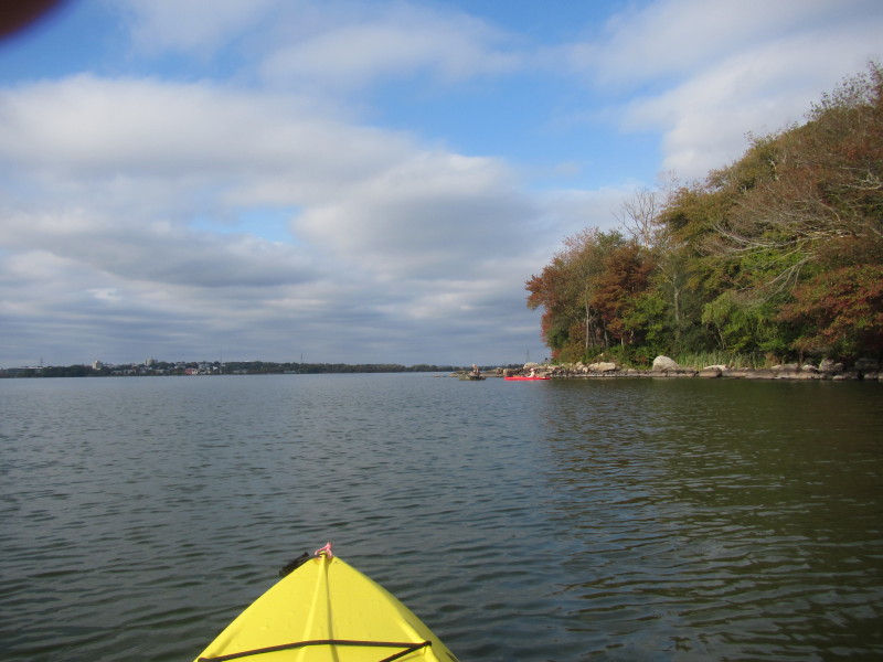
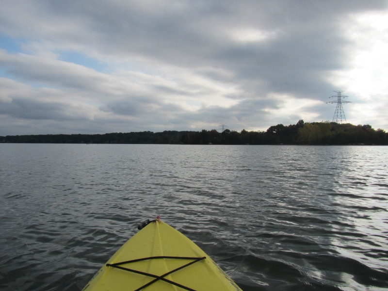
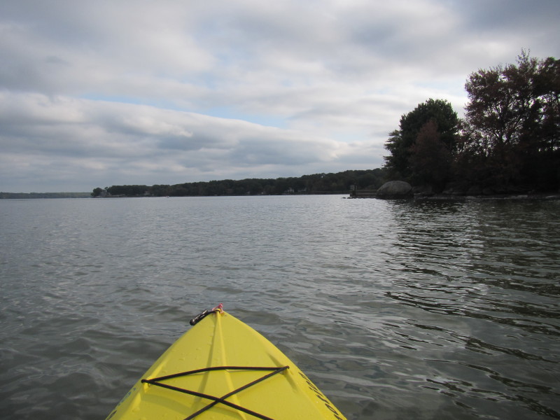
 Continuing my southerly paddle hugging the western coast.
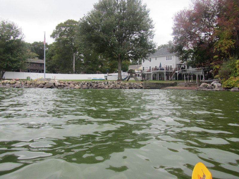
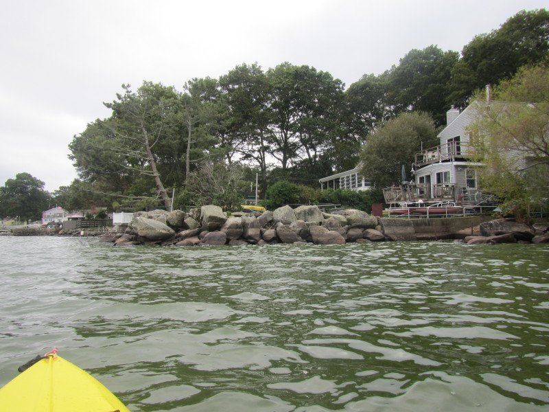
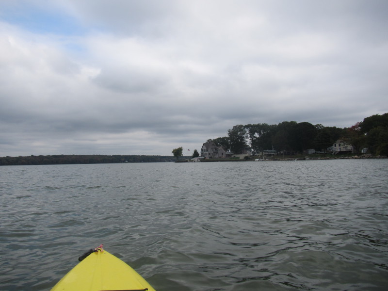
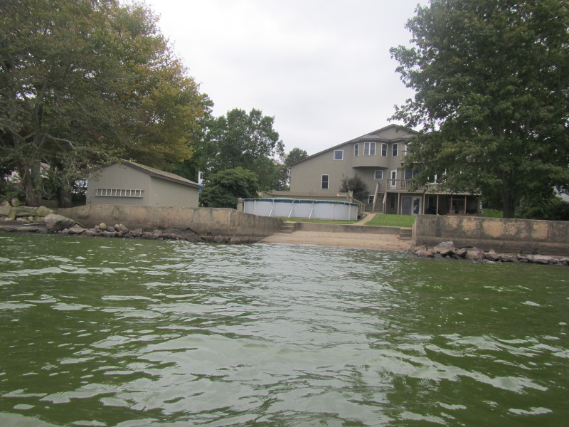
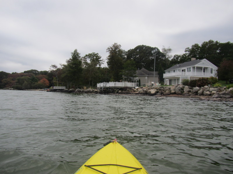
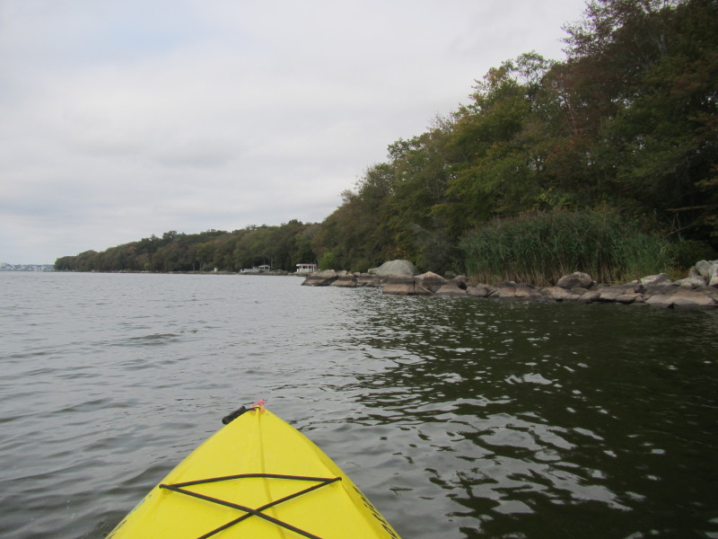
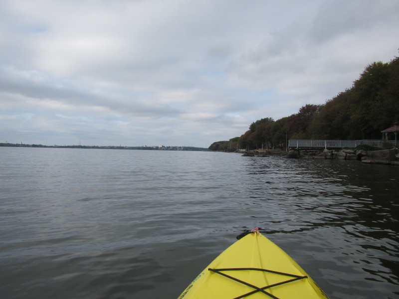
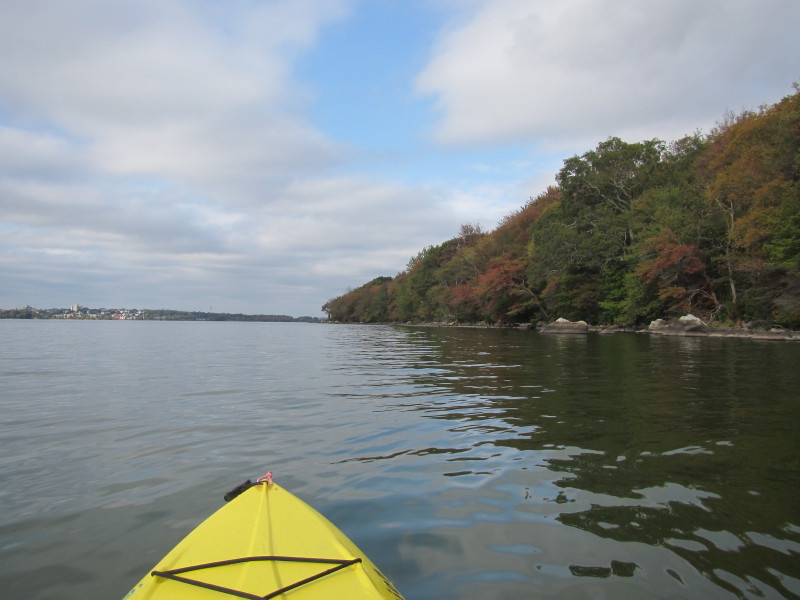
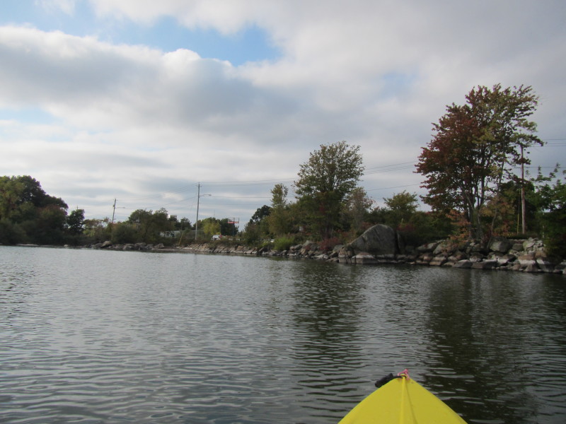
 Looks like the whole of the western shore of South Watuppa Pond are
all developed with houses. No place to land on this side. 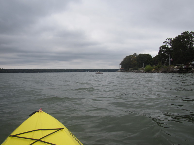
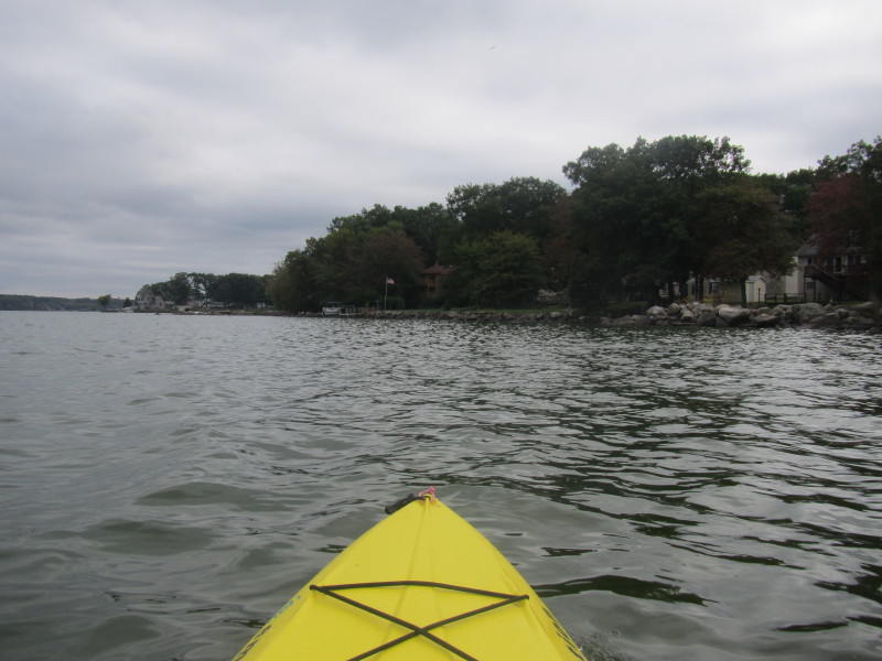
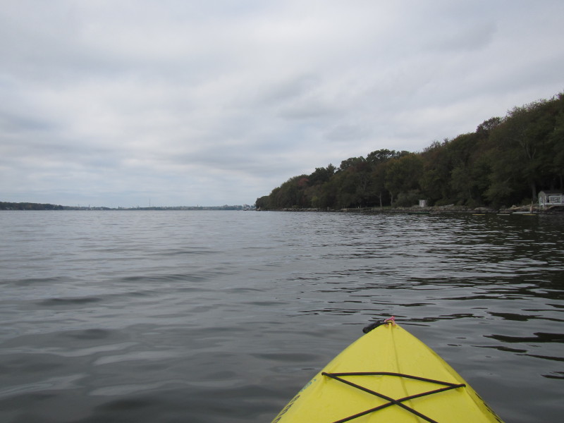
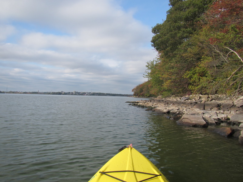
 I am nearing the south end of South Watuppa Pond.
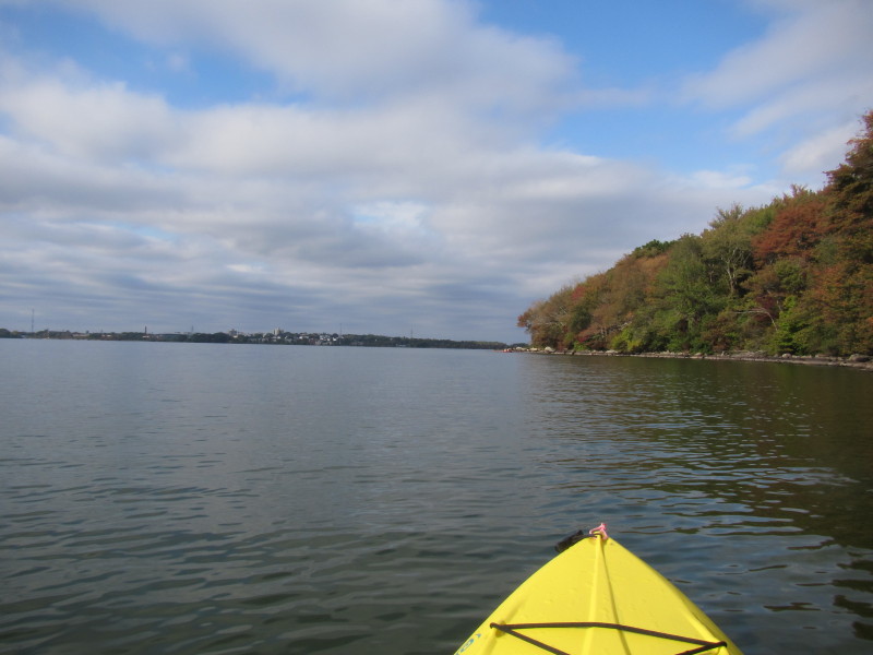
 I am now veering to my left and will skip that cove on the
southwest corner.
I am now veering to my left and will skip that cove on the
southwest corner.
 I will now paddle straight to the other side of South Watuppa Pond
cutting off this cove on my right.
I will now paddle straight to the other side of South Watuppa Pond
cutting off this cove on my right.
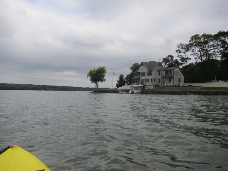
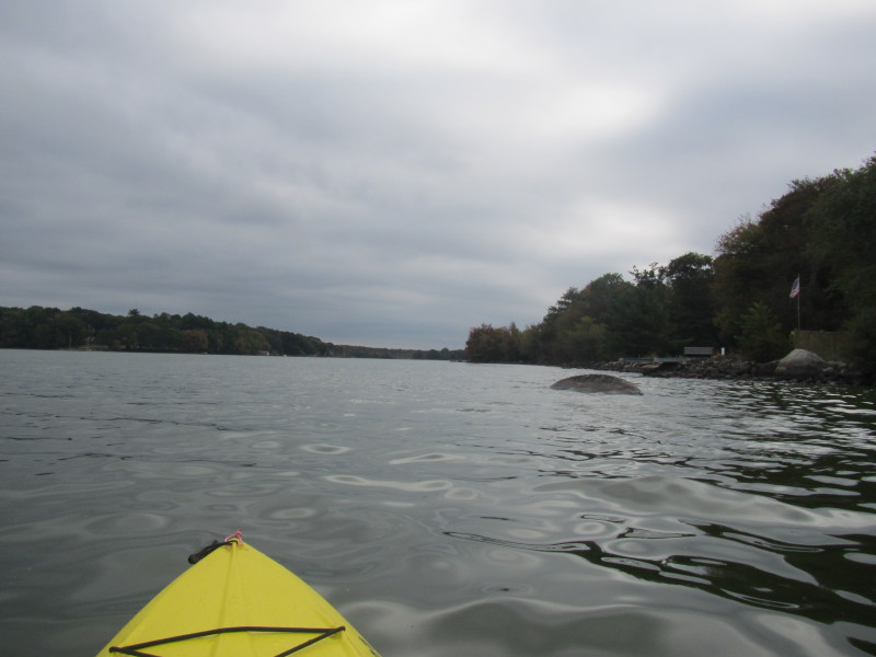
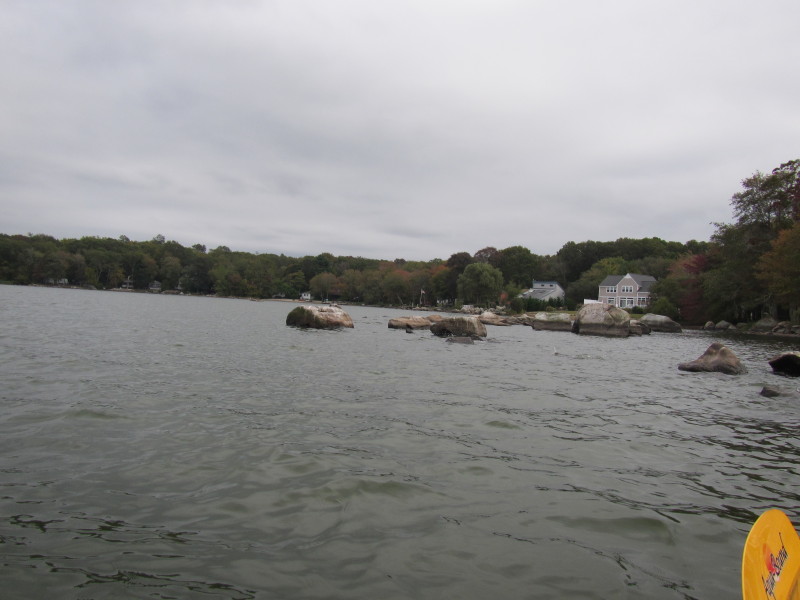
 Briefly looking to my right, that is the southwest corner of Sout Watuppa Pond.
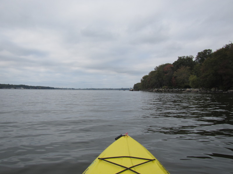
 I am near the southern shore after skipping the southwest corner cove on my right.
 The southern shore is now on my right. Will continue counter-clockwise direction around this pond.
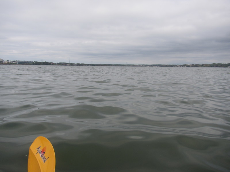
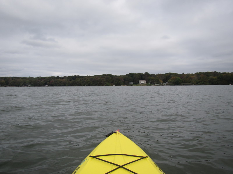
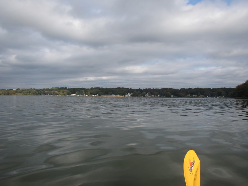
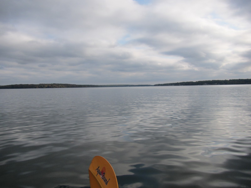
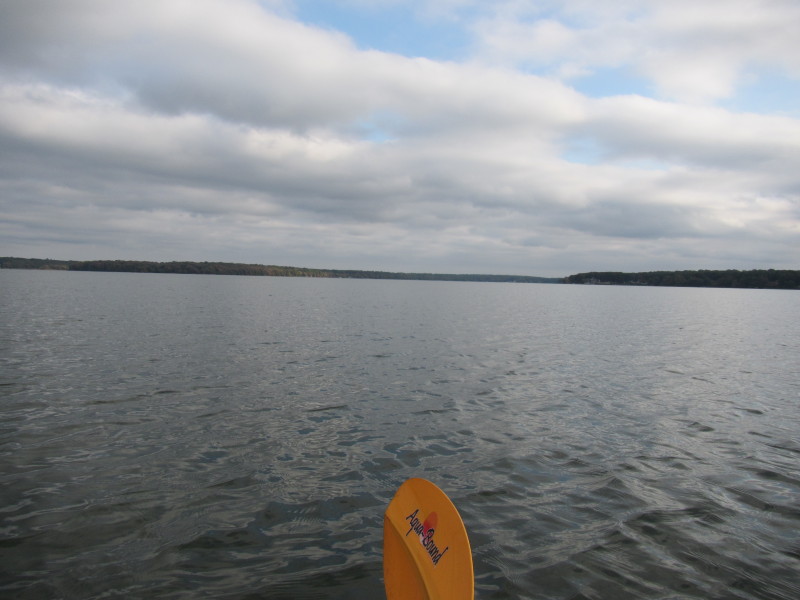
 Looking to my left, South Watuppa Pond viewed from the southeast end.
 Coming up on my right is the southeast corner cove.
 The southeast corner cove. Will skip this cove and paddle straight to the east side.
 Paddling directly east.
 Now closing onto the eastern shore.
 I will now be paddling northwards hugging the eastern shore on my right.
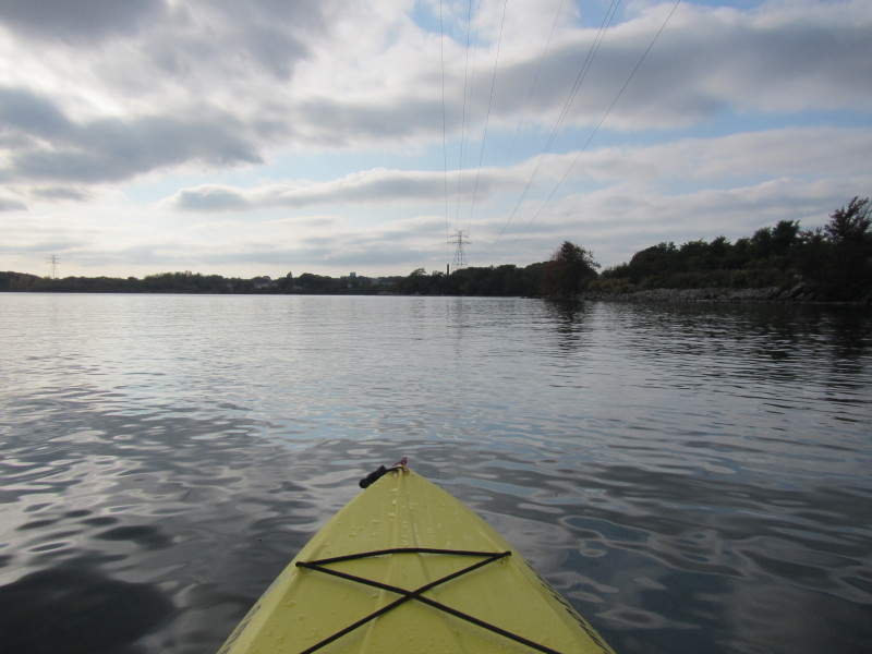
 Continuing northward paddle along the eastern shore of South Watuppa Pond.
 Looking to my left, the western shore.
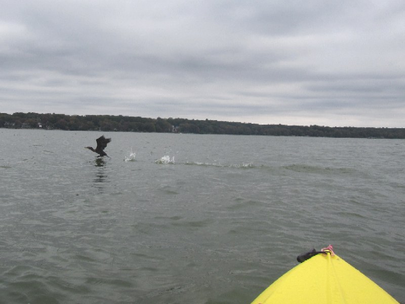
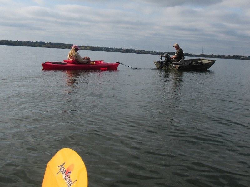
 A guy on a boat towing a woman on a kayak,
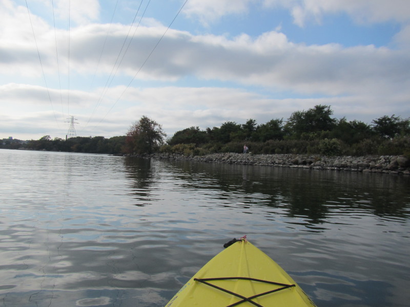
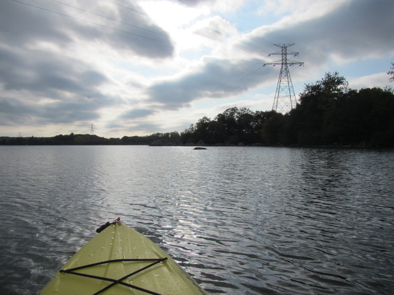
 I am now approaching the cove on the northeast corner coming up on my right.
 Looking to my right is the northeast corner cove of South Watuppa Pond.
I will skip this cove . . .  The plan now is to paddle straight north ahead where I am facing.
 Looking briefly to my left is the western shore on the north end.
 Now in the middle of South Watuppa Pond and paddling straight north to the north shore.
 I have reached the north shore and now paddling westerly to continue my counter-clockwise direction.
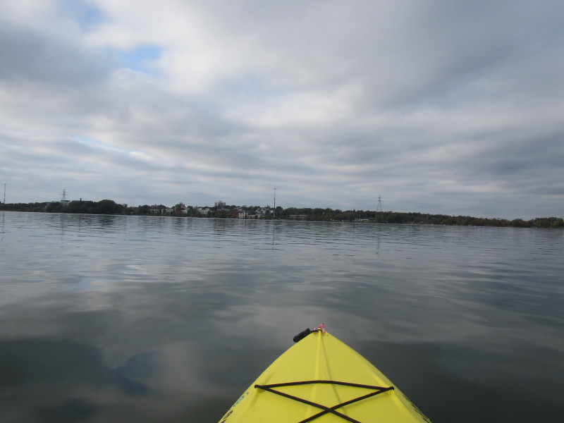
 South Watuppa Pond viewed from the north end.
 From here, I will again cut out the northwest corner.

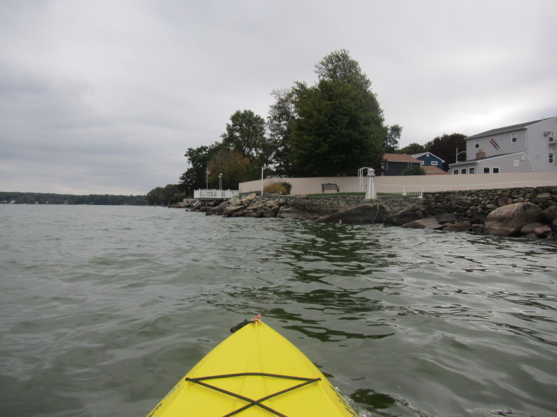
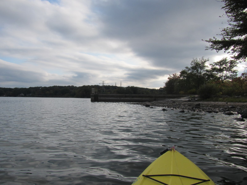
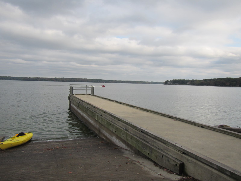
 I can see the ramp structure.
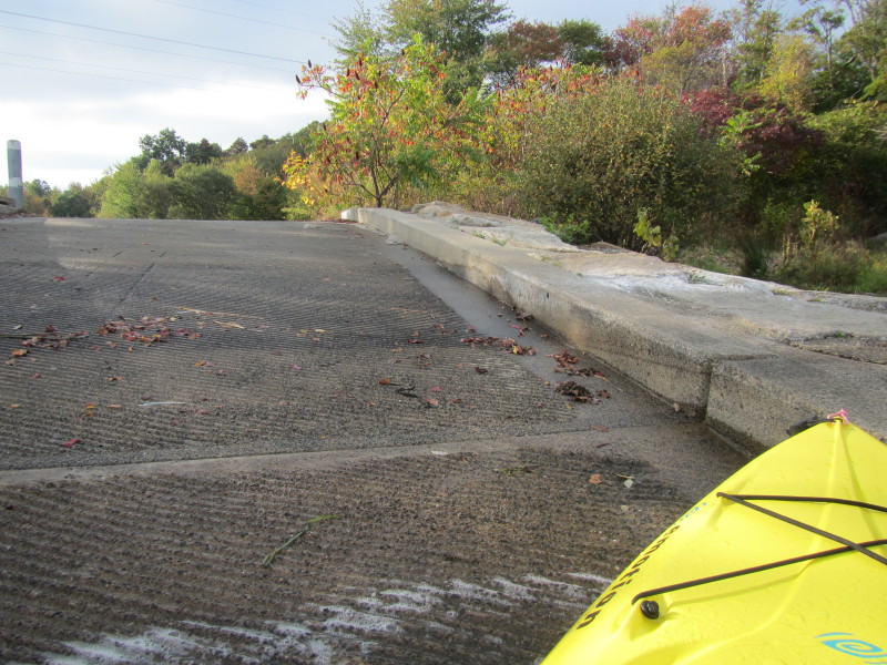 Landed.
 I was on the waters of South Watuppa Pond for 2 hours.
|