 Kayaker

|


|
Download printer-friendly
PDF version that fits in one page: |

|
|
Other resources:
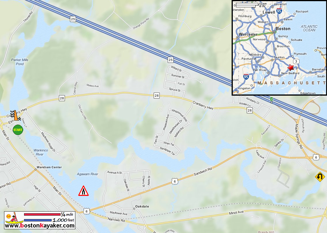
US Harbors: Sippican Harbor Tides in Marion MA All photos in this website are original and copyrighted. 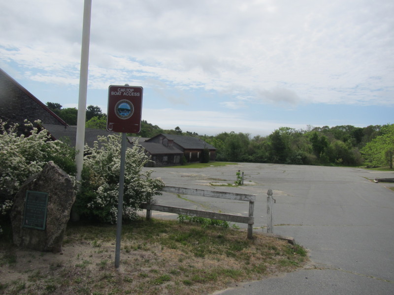 At the entrance to the abandoned Tremont Nail Factory compound on Elm Street in Wareham MA.
Trip date is May 2015. 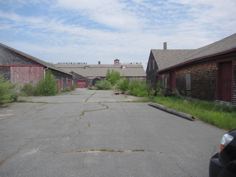 The Tremont Nail Factory is a ghost town and only kayakers will bother coming here really.
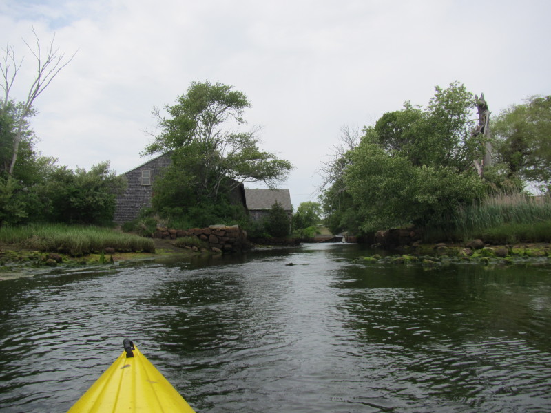
 The put in to Wankinco River from Tremont Nail Factory on Elm Street, Wareham MA.
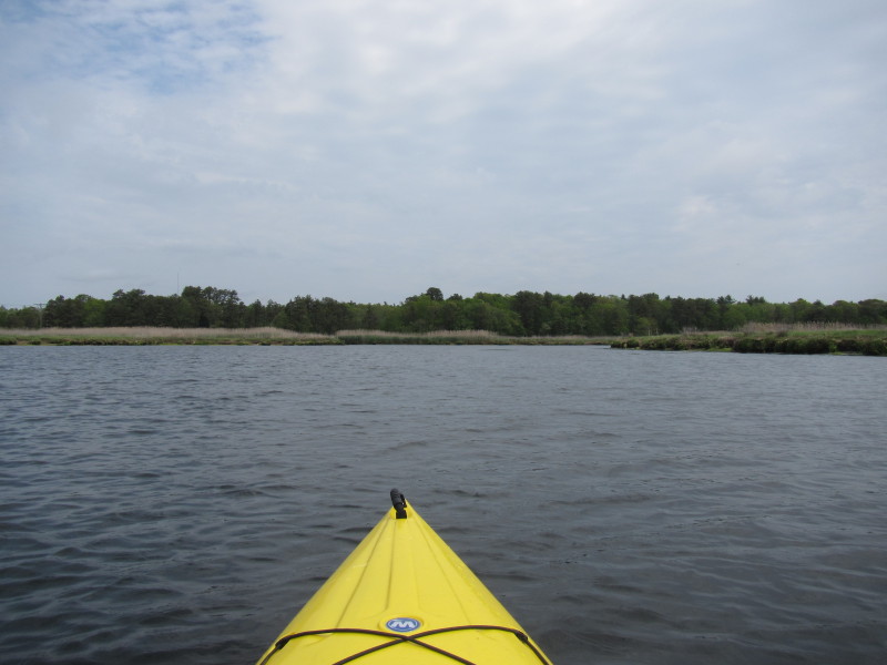
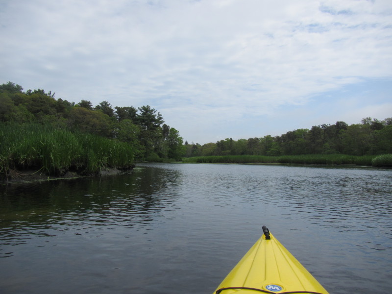
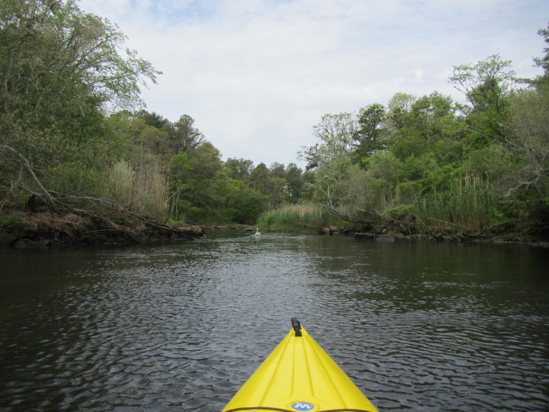
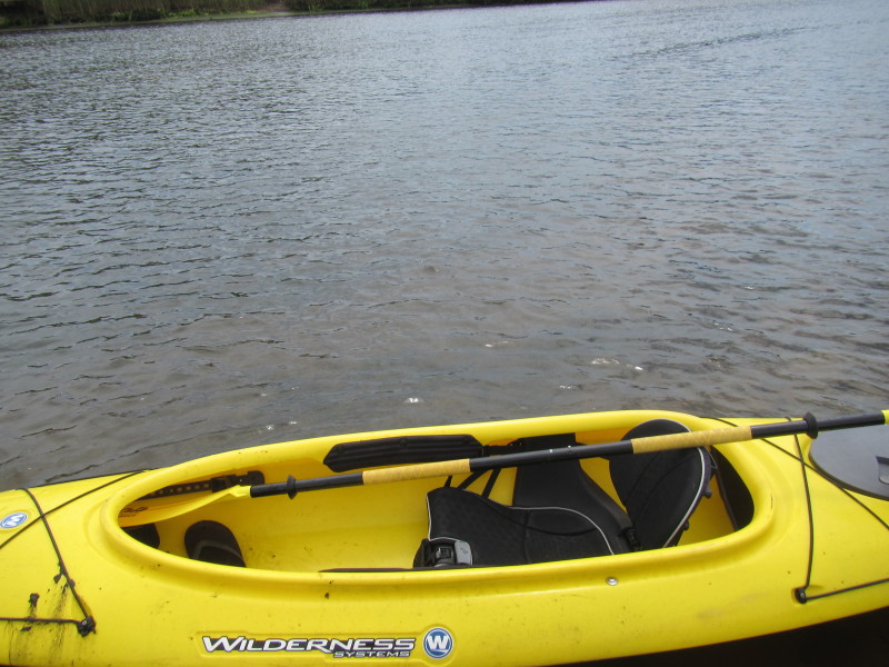
 The Boston Kayaker just launched into Wankinco River.
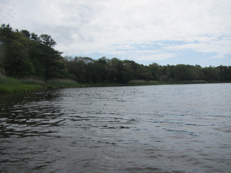
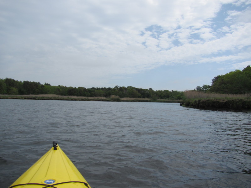
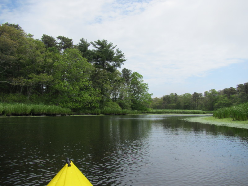
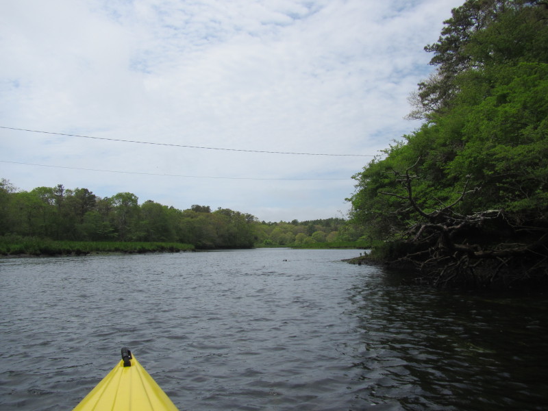
Looking to my left is the Parker Mills Pond Dam. 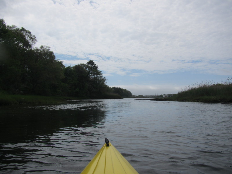 Veered to my right and now paddling south to the mouth of Wankinco River.
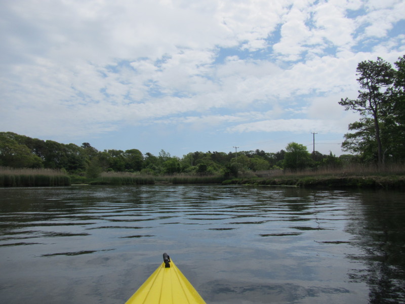
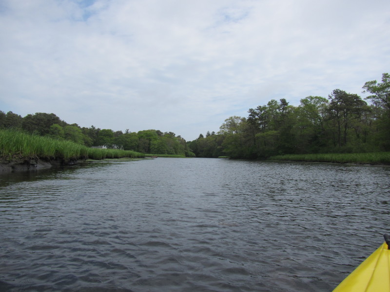
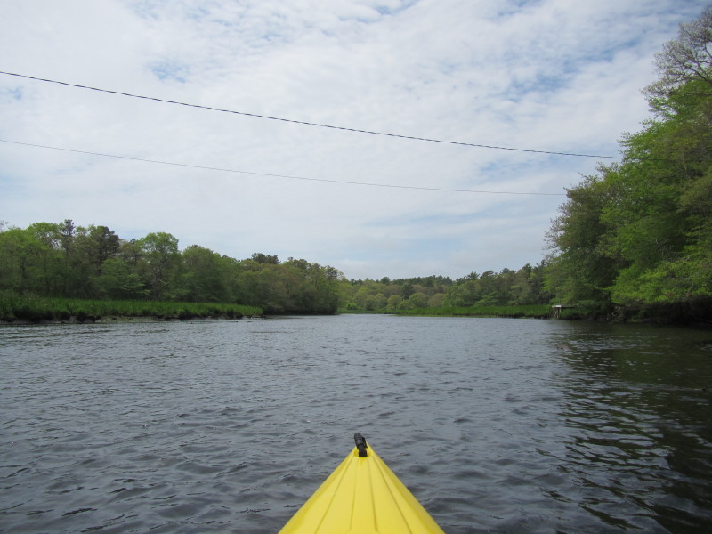
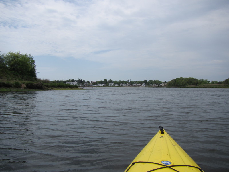
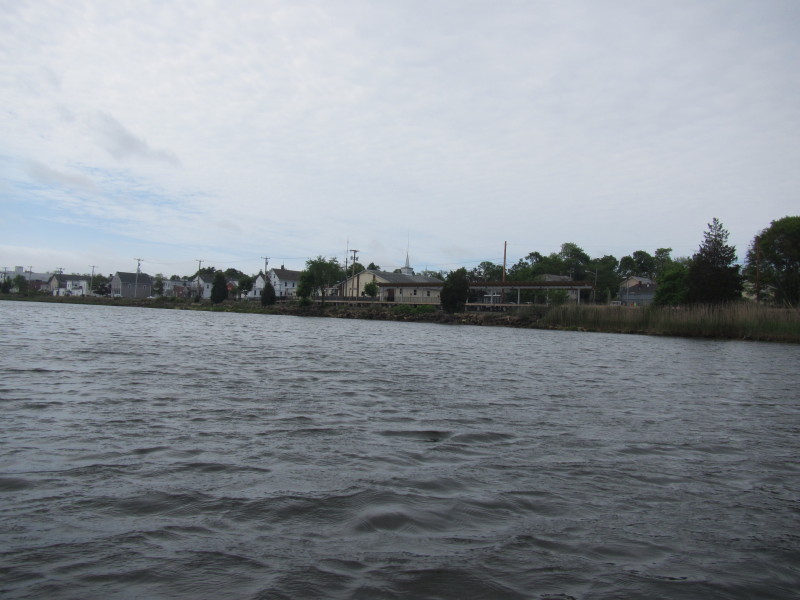 The Wareham Center train station is on my right, west bank of Wankinco River.
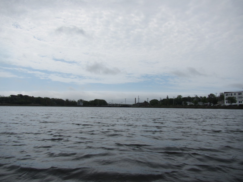
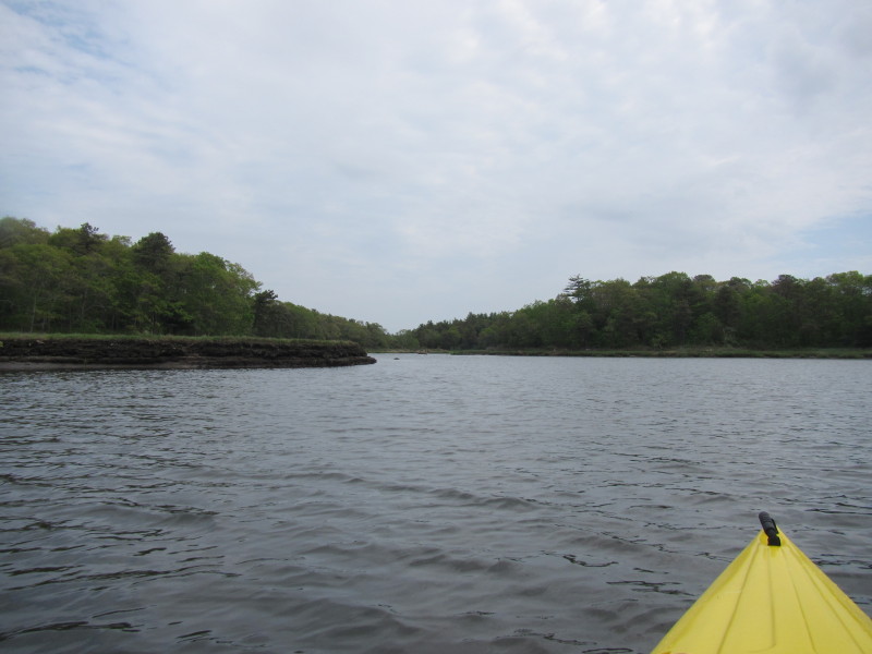
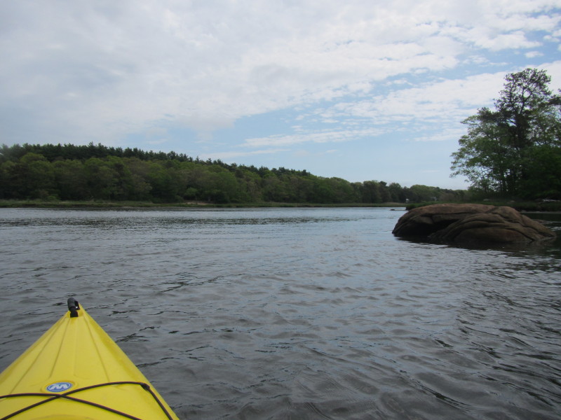
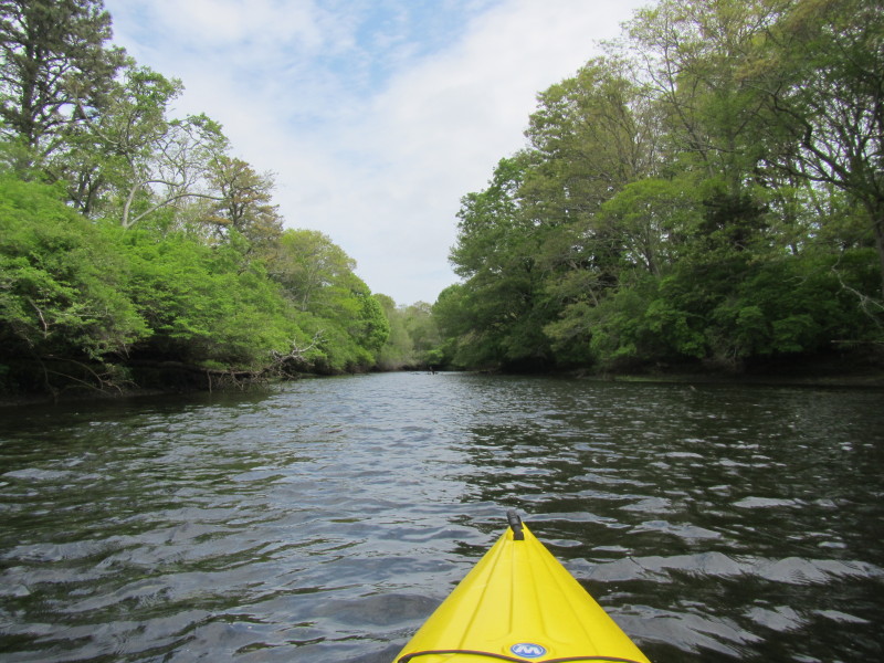
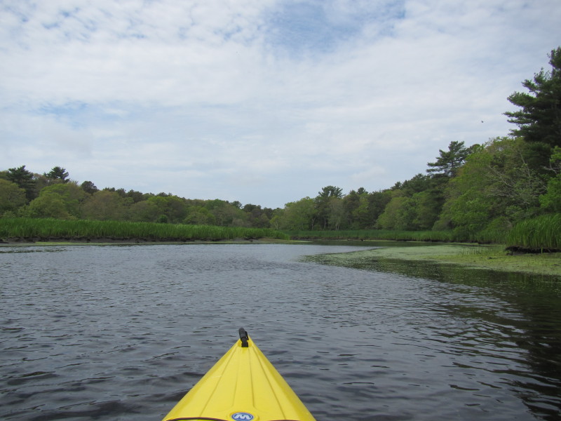
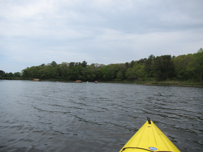
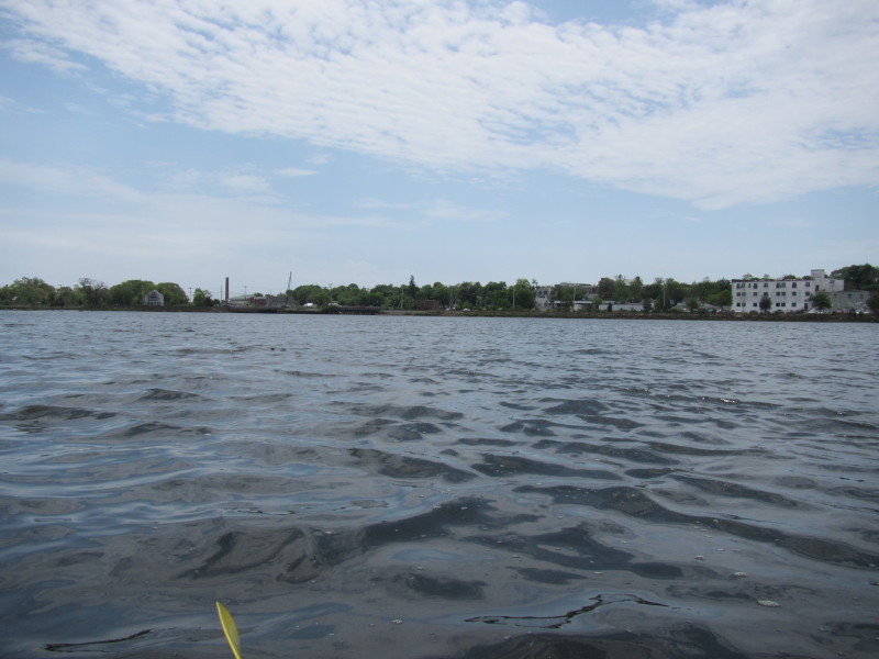
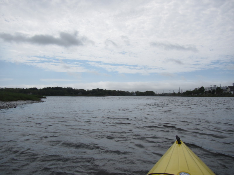 Now approaching the mouth of the Wankinco River where the Wankinco and Agawam Rivers
merge to form the Wareham River.
Now approaching the mouth of the Wankinco River where the Wankinco and Agawam Rivers
merge to form the Wareham River.
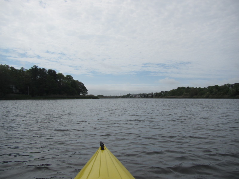
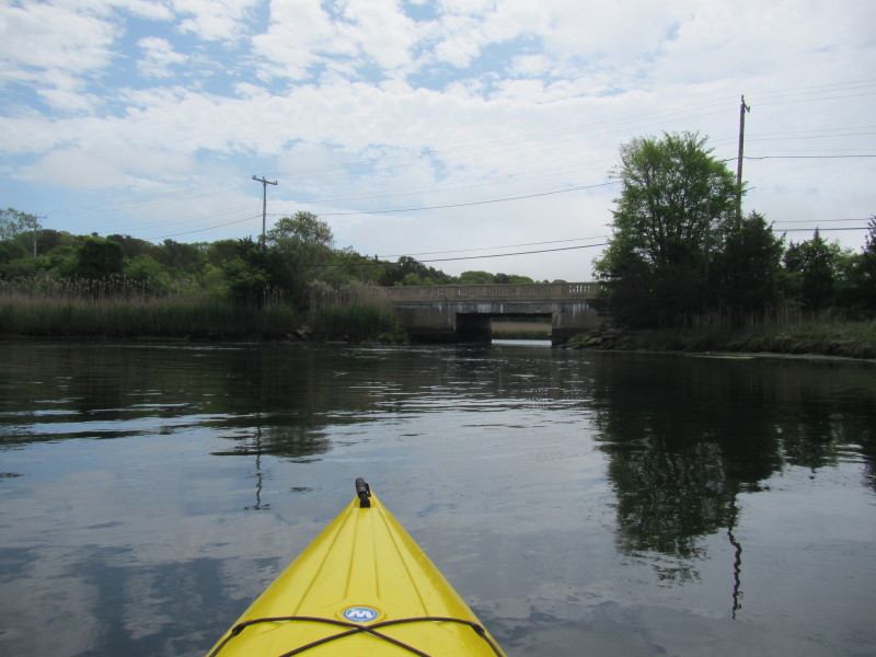
I can now see the Route 6 bridge over Wareham River. 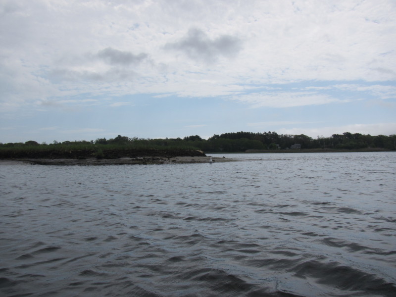 I will veer to my left past this peninsula into Agawam River.
 Now at the confluence of Wankinco and Agawam Rivers forming the Wareham River.
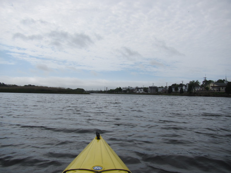
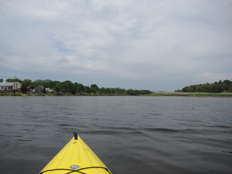
Looking at the Route 6 bridge over the Wareham River just before I veer to my left. 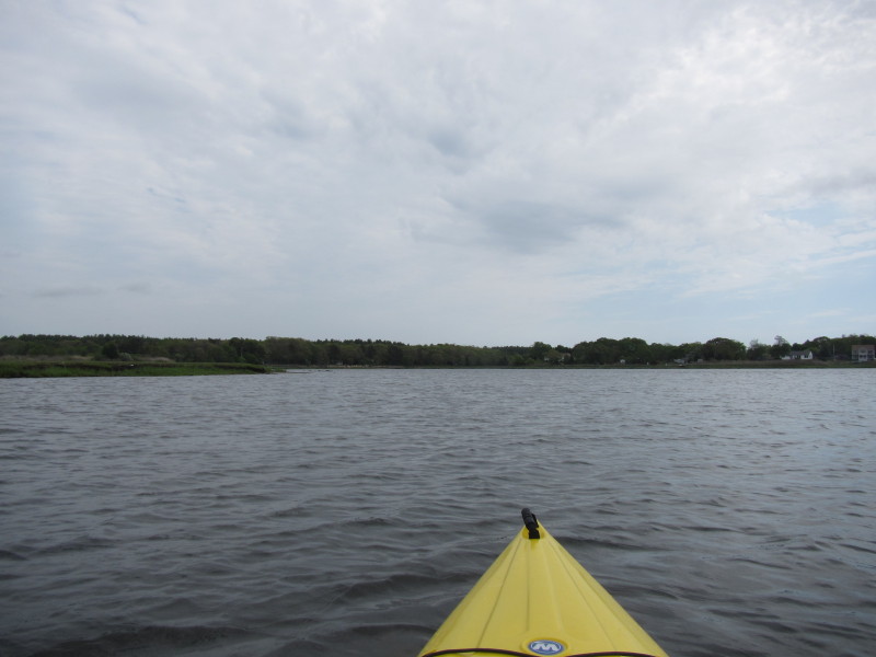 Veered to my left, now entering the Agawam River from its mouth.
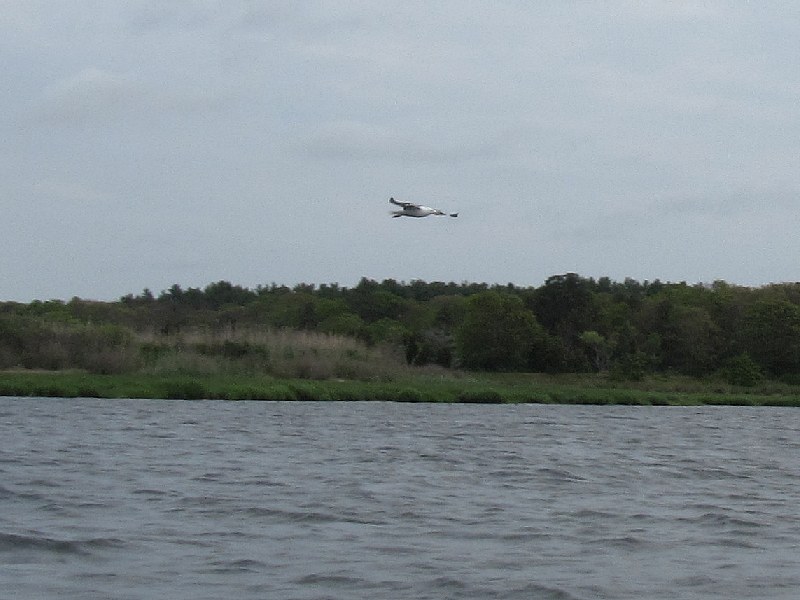 A seagull on Agawam River.
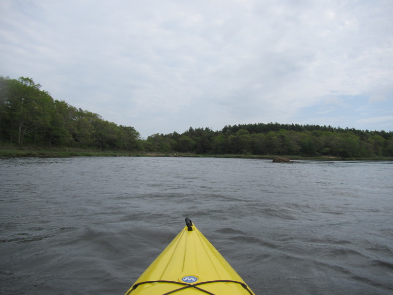
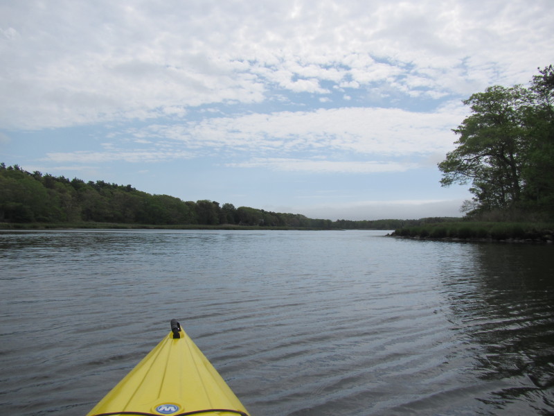
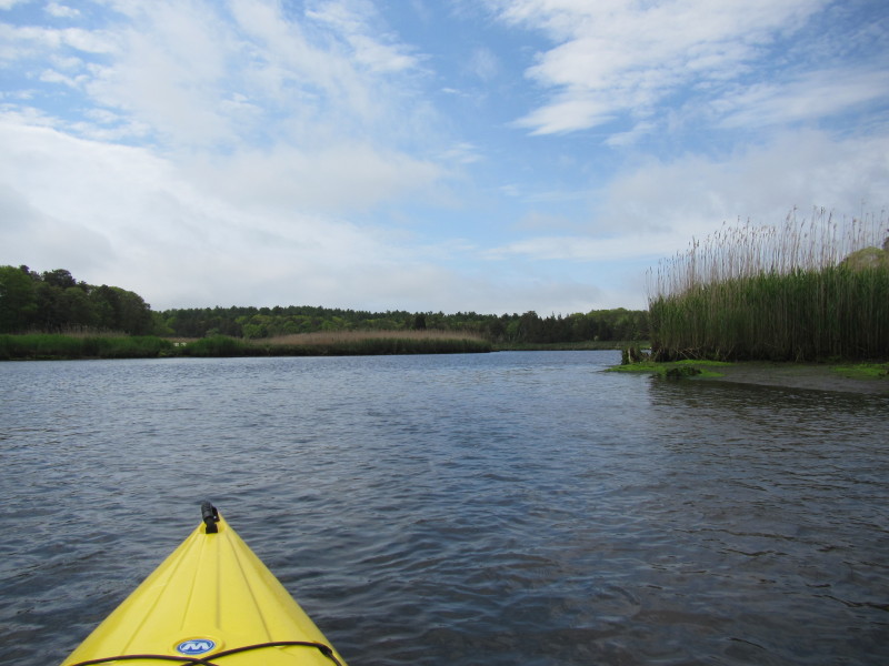
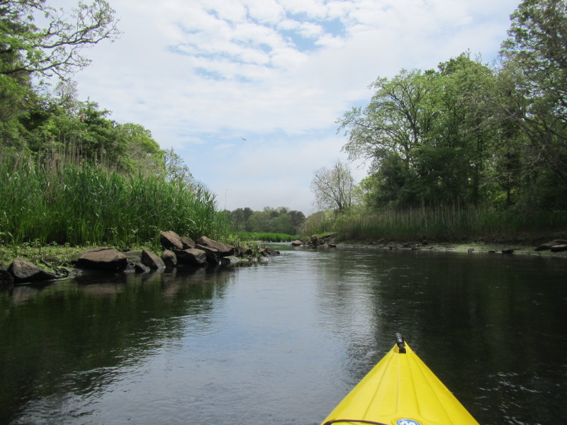
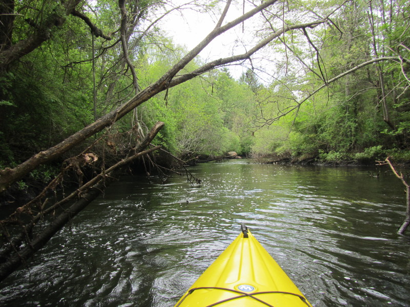
 Agawam River narrows as you get farther in.
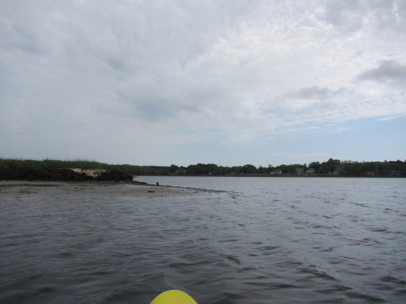
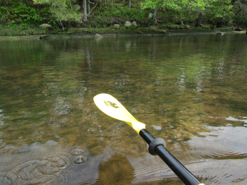
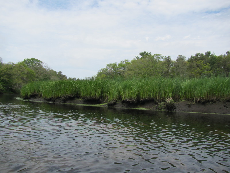
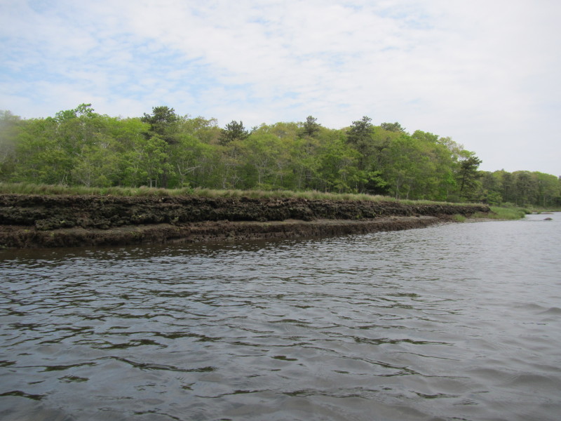 The river bank of Agawam exposed at low tide.
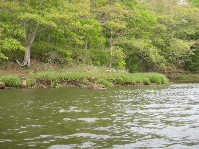 A turtle just jumped off from that rock as I was zooming in . . .
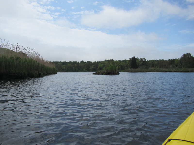
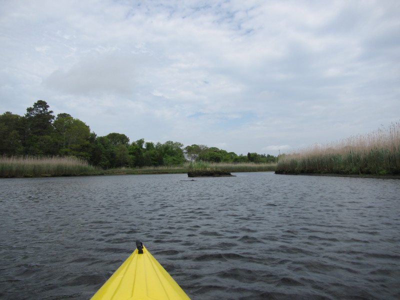
 An island/rock on the Agawam River.
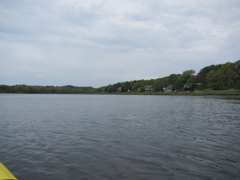
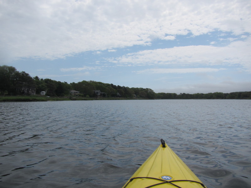 Some houses on the otherwise undeveloped shores of Agawam River.
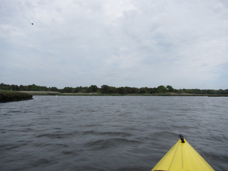
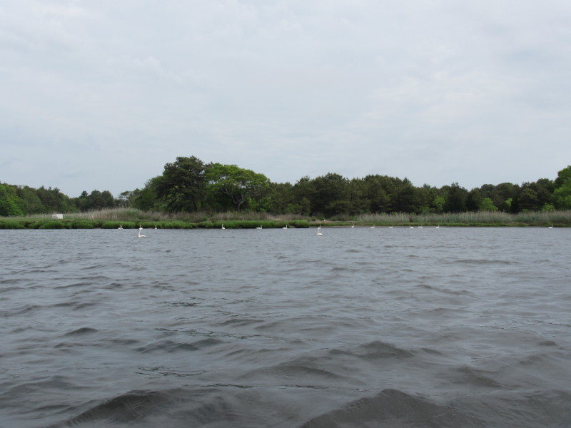
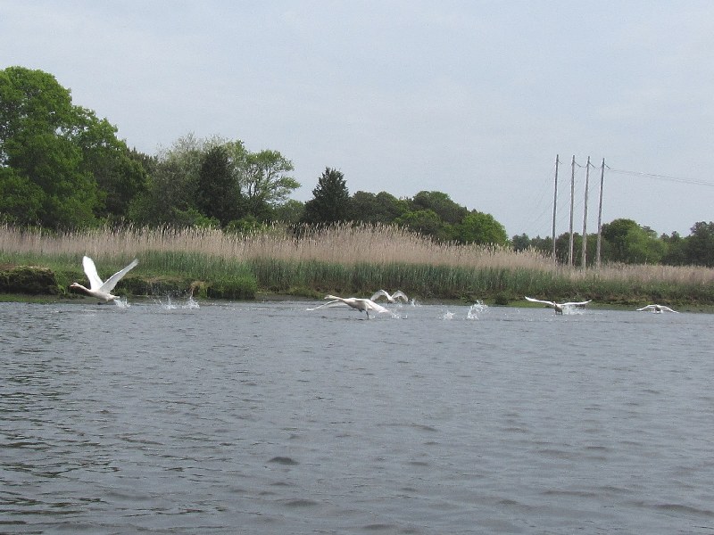
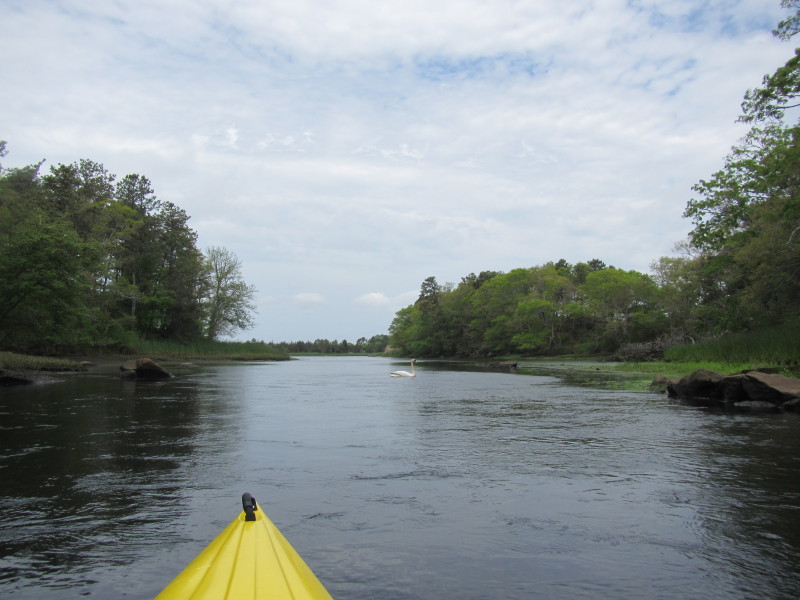
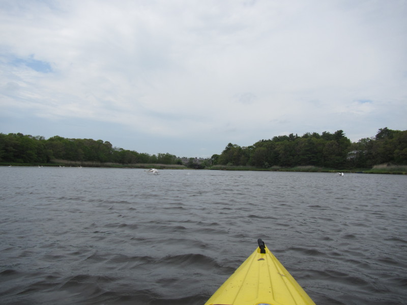
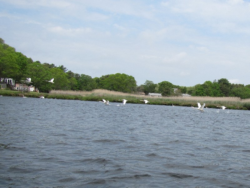 Swans in flight over the Agawam River.
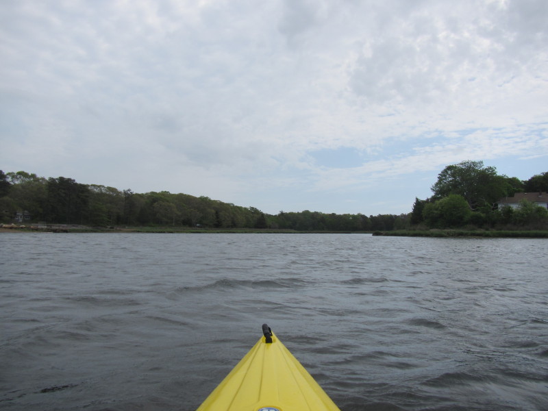
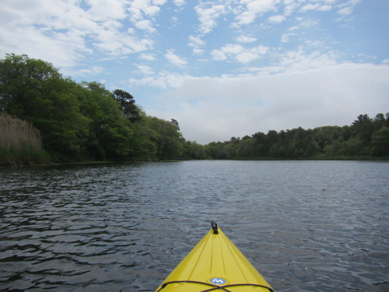
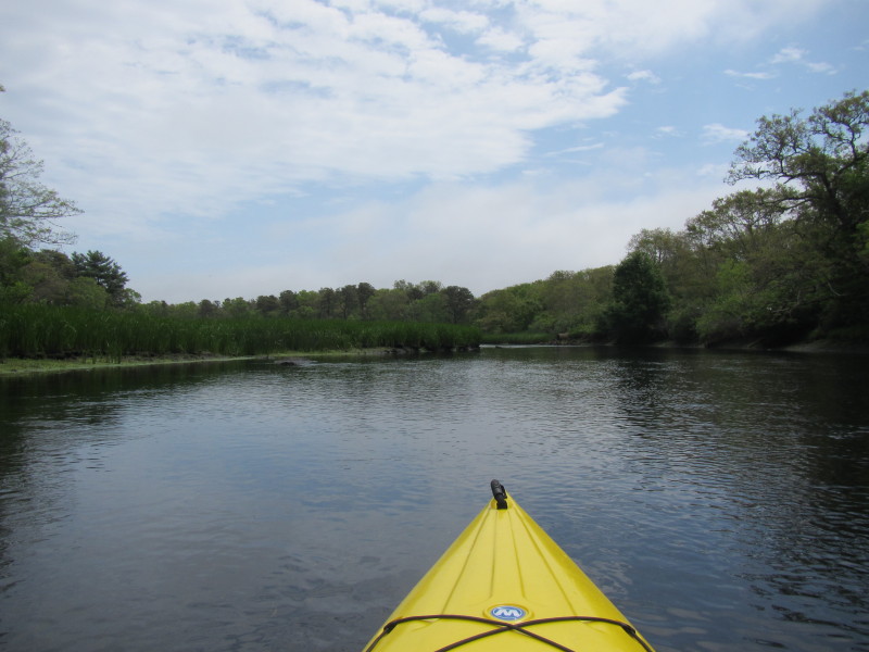
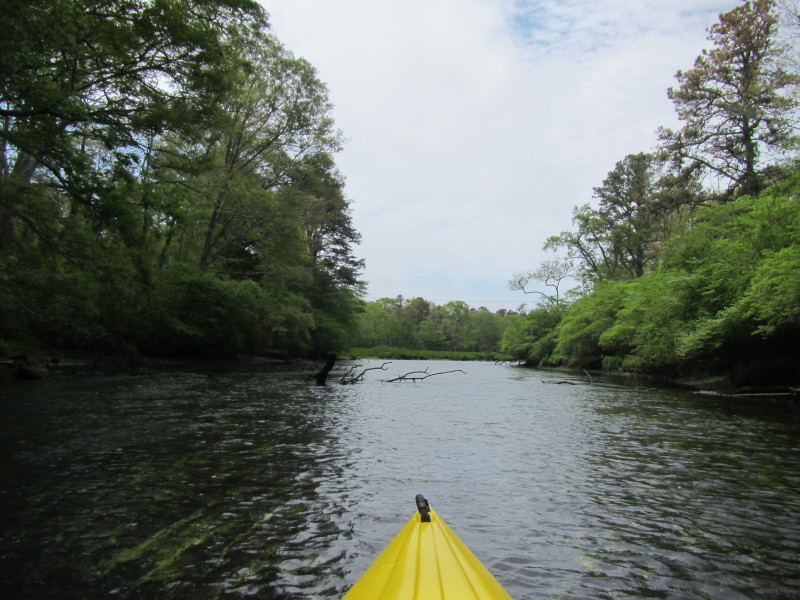
 Continuing my eastward paddle upriver into the Agawam.
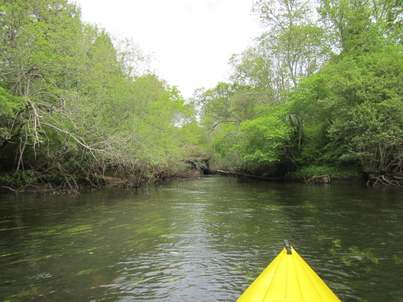
 I am approaching the Route 6 bridge . . .
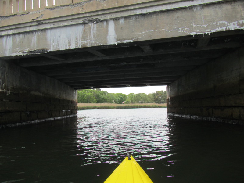
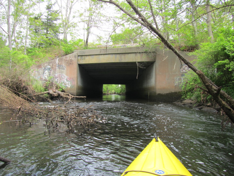
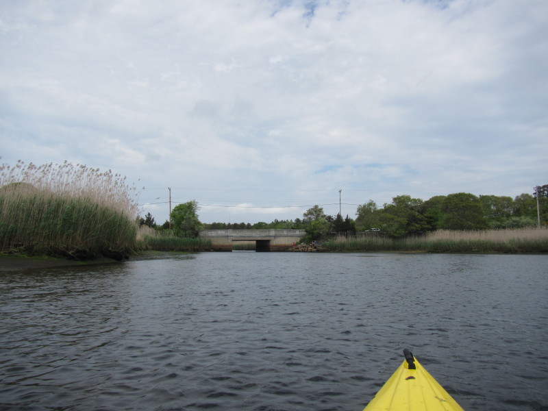
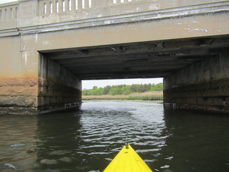
 Route 6 bridge over the Agawam River.
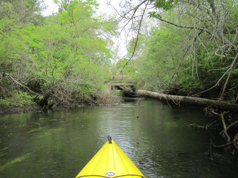
 Continuing eastward past Route 6 bridge.
 An island on Agawam River. I will learn later on my way back not to get
too close to the shallow area near this island.
An island on Agawam River. I will learn later on my way back not to get
too close to the shallow area near this island.
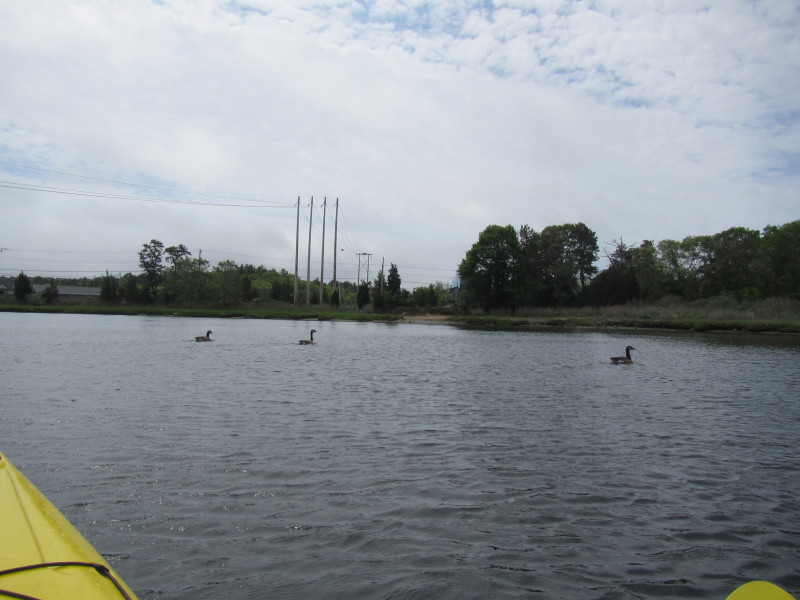
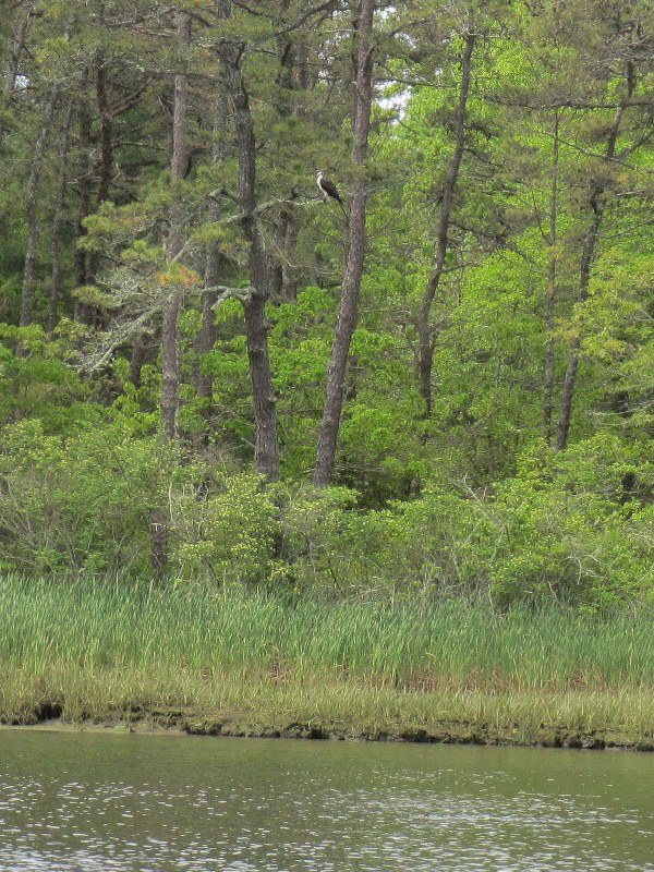
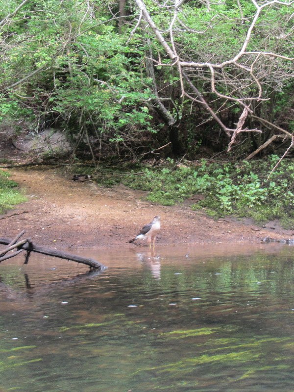
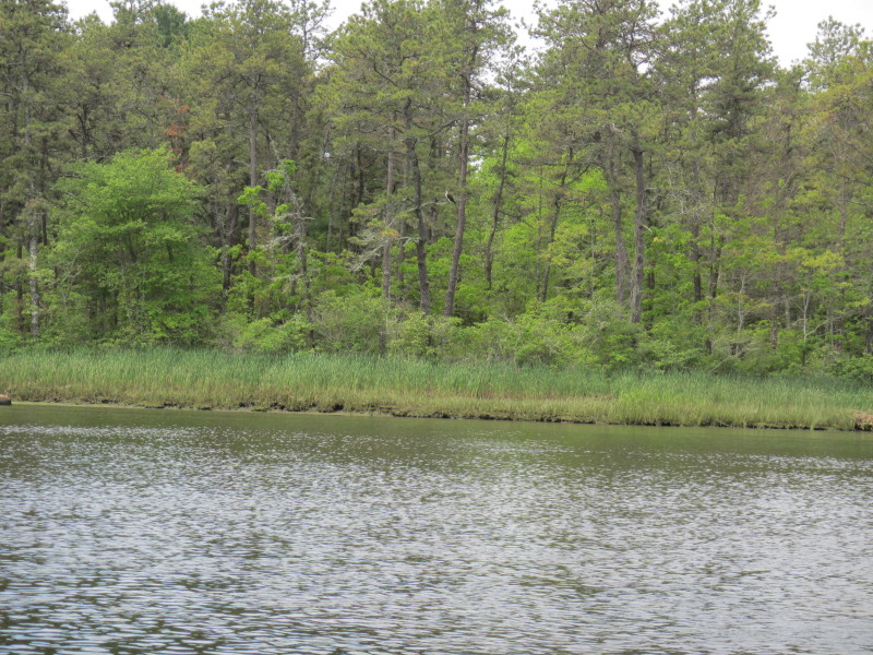 A sizeable bird on the banks of Agawam River.
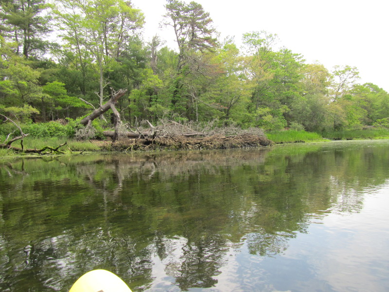
 I am barely floating in this area.
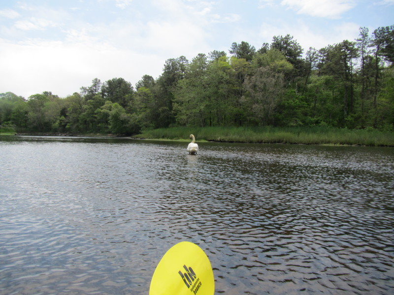 I took now that this swan was standing on just a few inches of water
and tried to avoid the shallow patch.
I took now that this swan was standing on just a few inches of water
and tried to avoid the shallow patch.
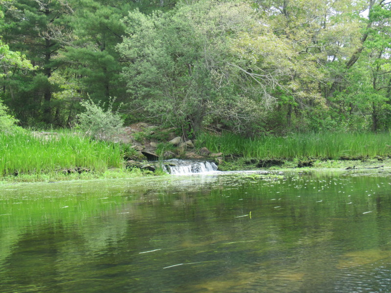 A small waterfalls rushes in from the culverts.
 Agawam River narrowing . . .
 The last Route 6 bridge (Cranberry Highway) on this kayak route.
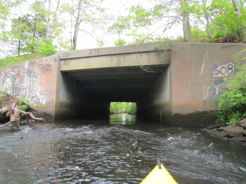 I have reached my end of my upriver destination at Route 6 / Cranberry Highway bridge.
 Just turned around and now facing downriver.
 Much easier to paddle with the flow than against.
 Being still late spring and in May, the leaves are still light and budding green.
 My kayak and paddle are hitting the muddy botton around this island.
 The Route 6 / Sandwich Road bridge.
 Hit a shallow patch and have to get out of my kayak.
 Back on the water and passing under Route 6 / Sandwich Road bridge.


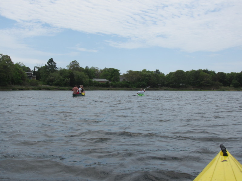 A group of paddlers on Agawam River.
One canoe with three people and another on his own kayak. 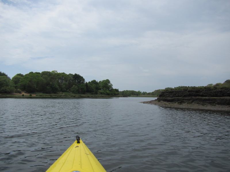
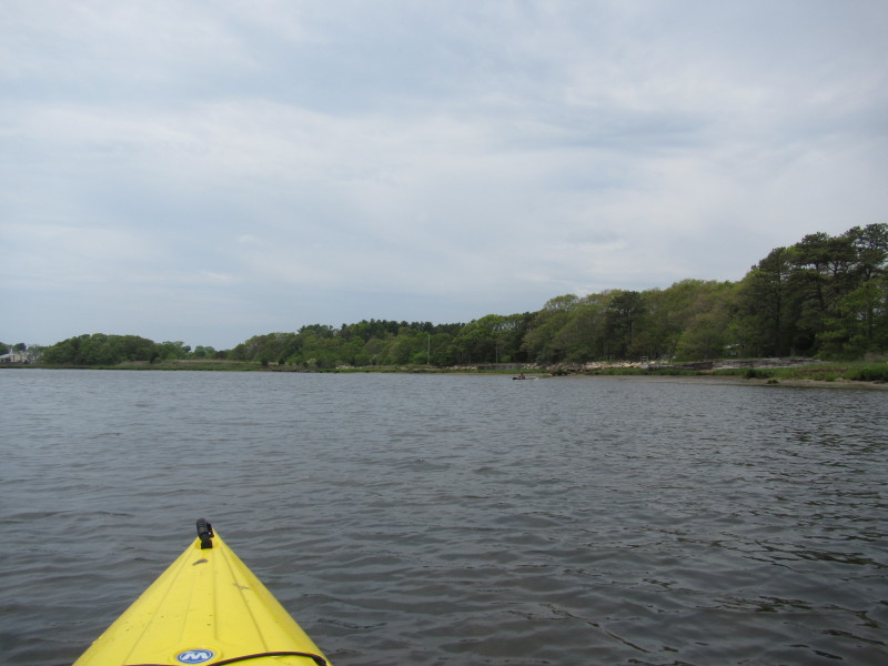
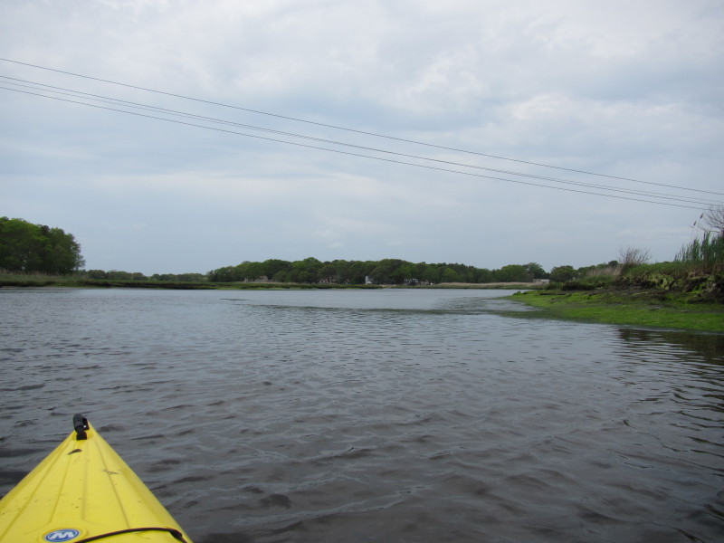
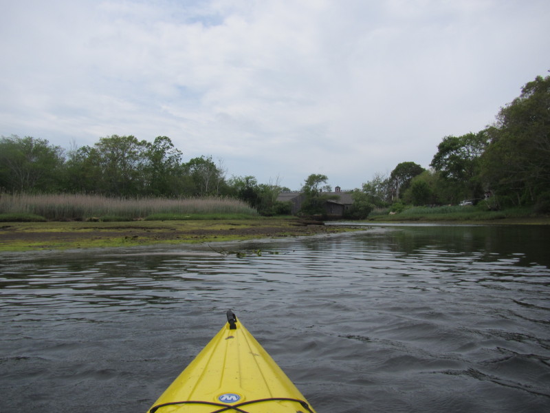
 I can now see the houses on the mouth of the Agawam River.
 I am now at the confluence of Agawam and Wankinco Rivers forming the Wareham.
To my left is the Route 6 bridge over the Wareham River. 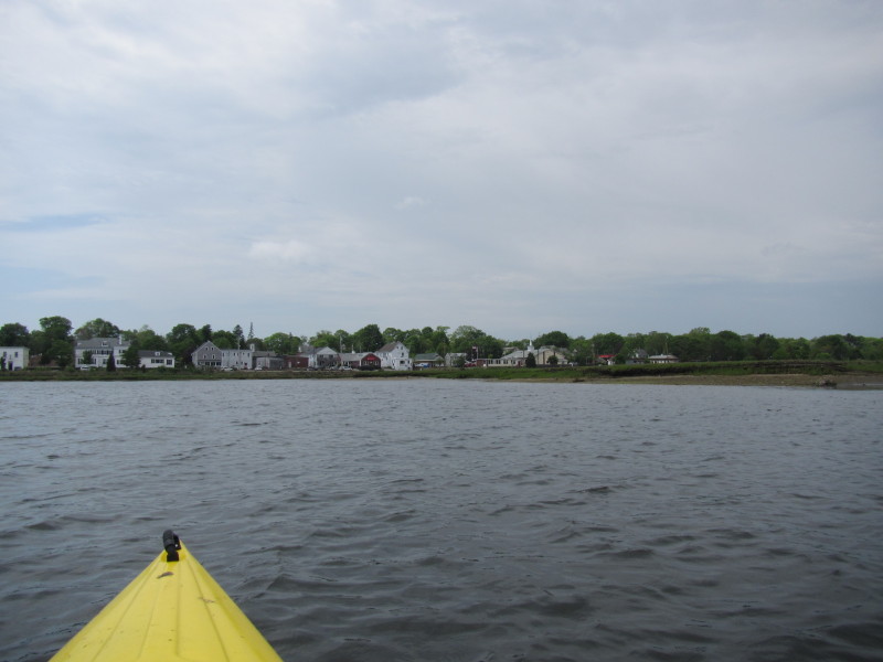 Veering to my left, will paddle back upstream to Wankinco River where I launched.
 Entering Wankinco River.
 The big signs of "Tremont Nail Co".
 Very scratchy over this last stretch but there is my put in.
Total paddling time was 2 hours 40+ minutes. |