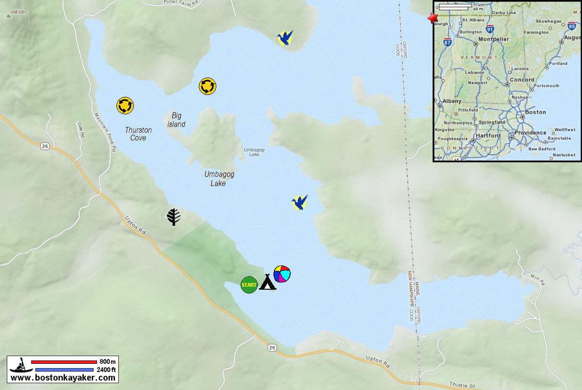
 Kayaker

| |||||||||||||||||||||||


|
Download printer-friendly
PDF version that fits in one page: |

|
|
Other resources:
NH Parks: Umbagog Lake State Park US Fish & Wildlife: Boating in Umbagog National Wildlife Refuge US Fish & Wildlife: Boating in Umbagog National Wildlife Refuge Canoe Map US Fish & Wildlife: Boating in Umbagog National Wildlife Refuge Canoe Map (cached copy) Northern Forest Canoe Trail: Umbagog National Wildlife Refuge Northern Forest Canoe Trail: Umbagog National Wildlife Refuge (cached copy) All photos in this website are original and copyrighted. 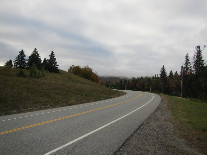 Driving west on Route 26 enroute to Errol NH.
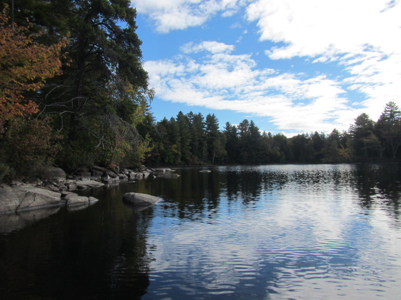
Trip date is September 2013. 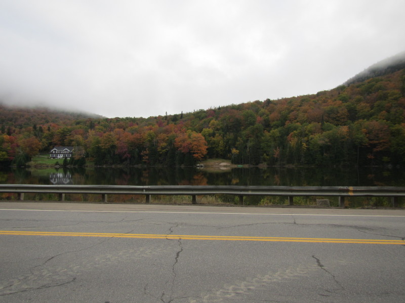 The small pond in Dixville NH.
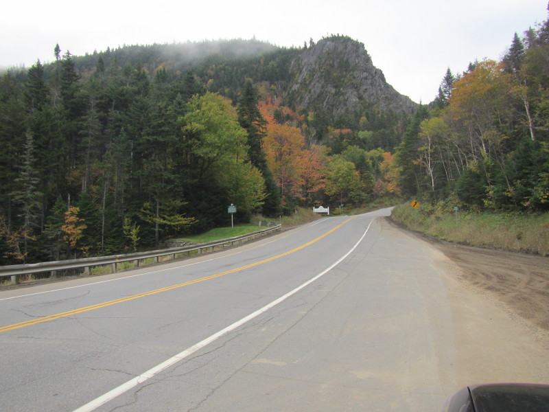 Dixville Notch.
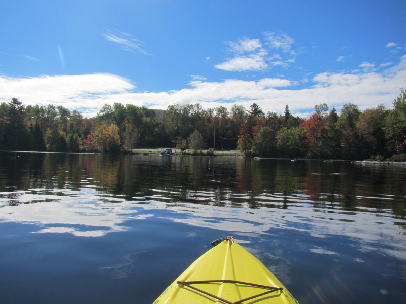
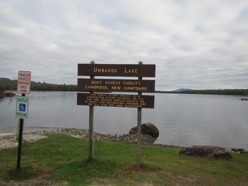 At the launch to the Umbagog Lake on Route 26 in Errol NH.
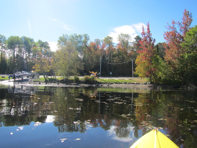
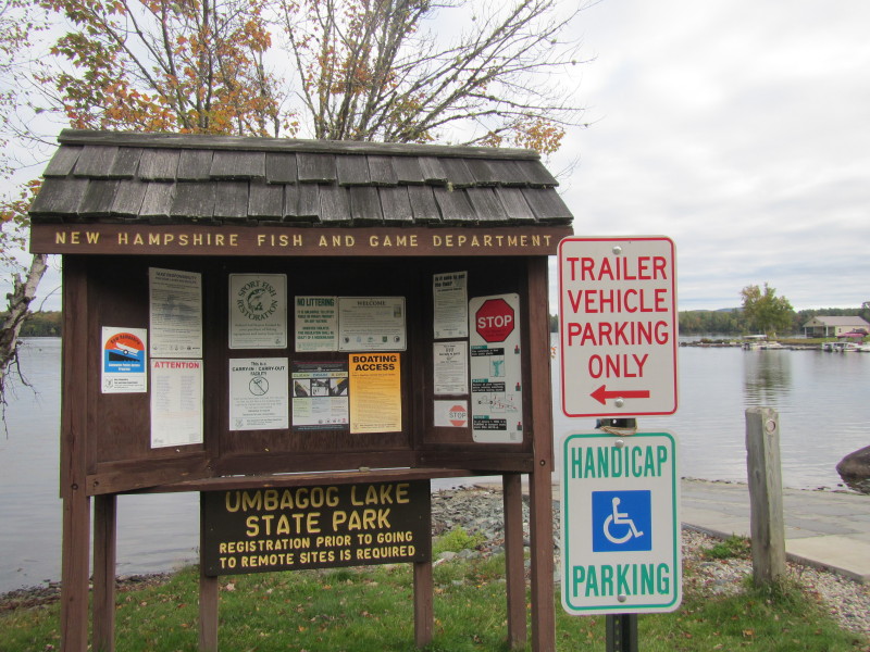 The information kiosk on the Umbagog Lake launch.
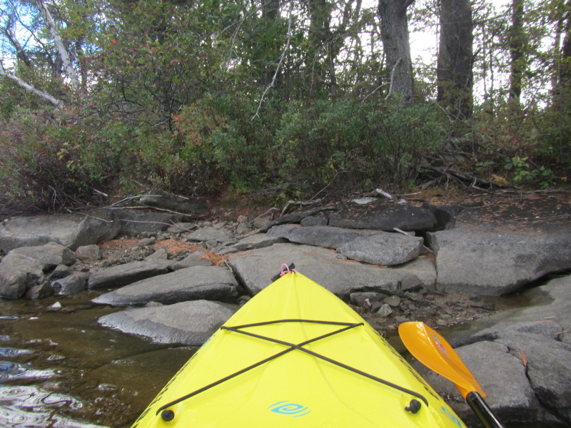
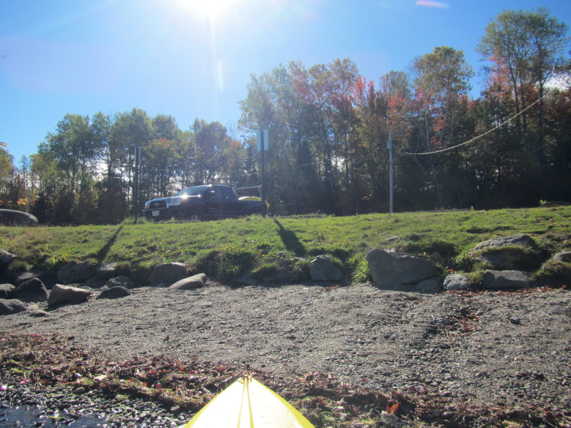
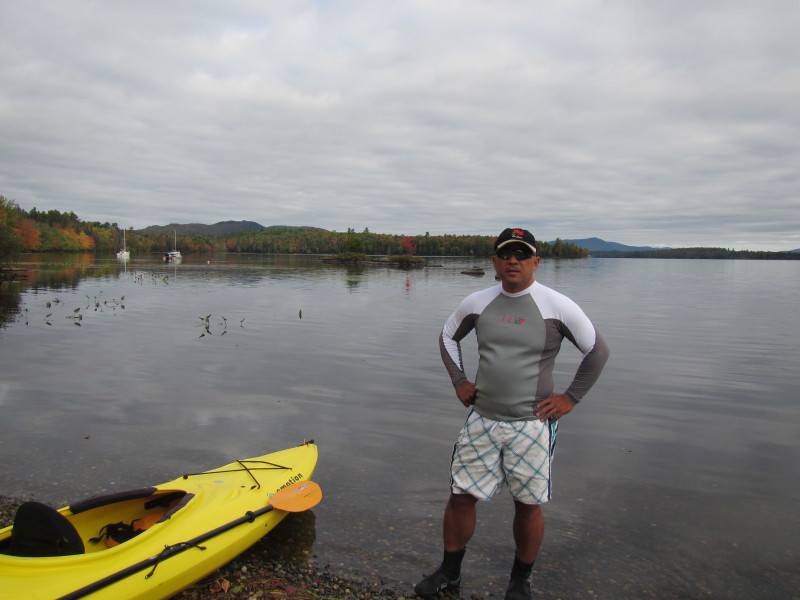 The Boston Kayaker ready to launch on Umbagog Lake.
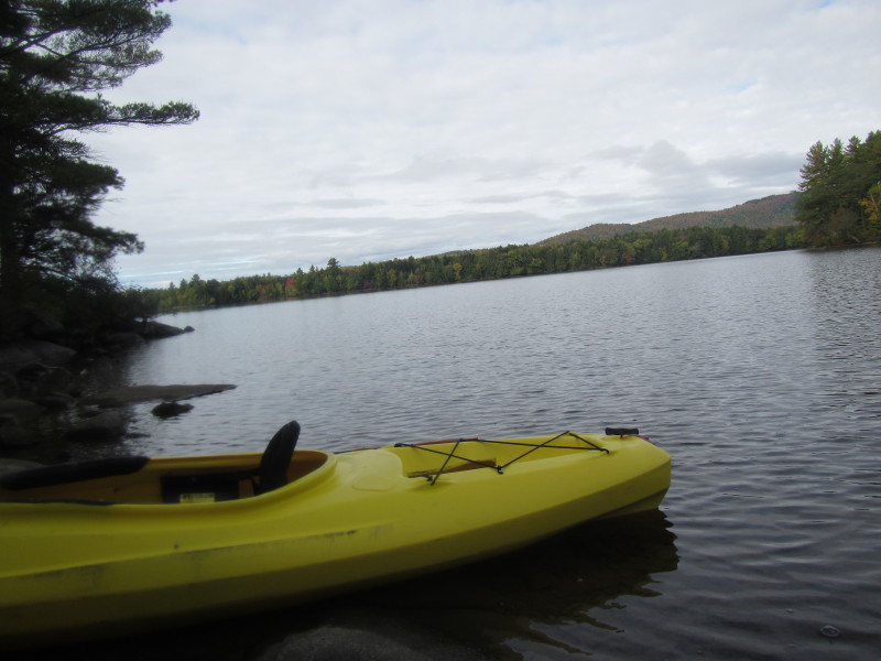
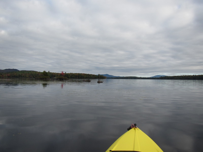 Just launched on Umbagog Lake.
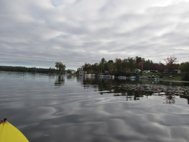 Looking to my right, the campgrounds.
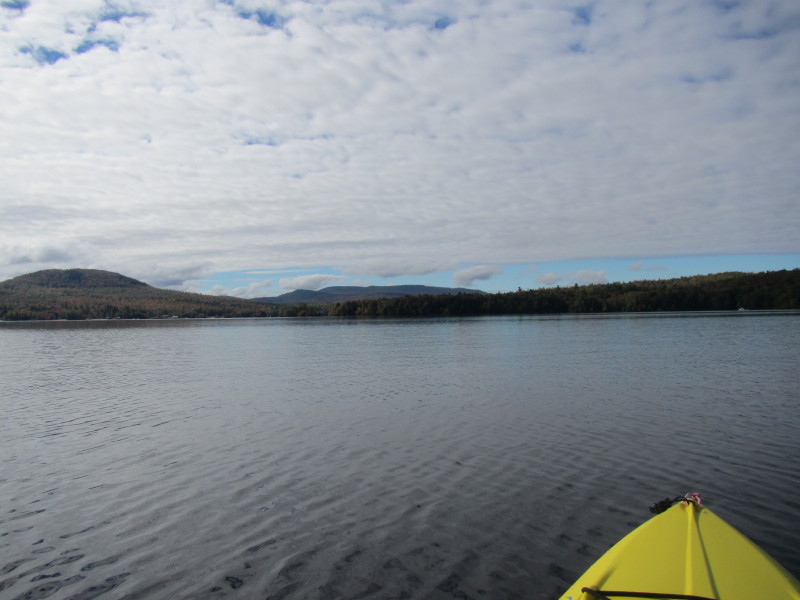
 Will paddle northwest along the west coast to my left.
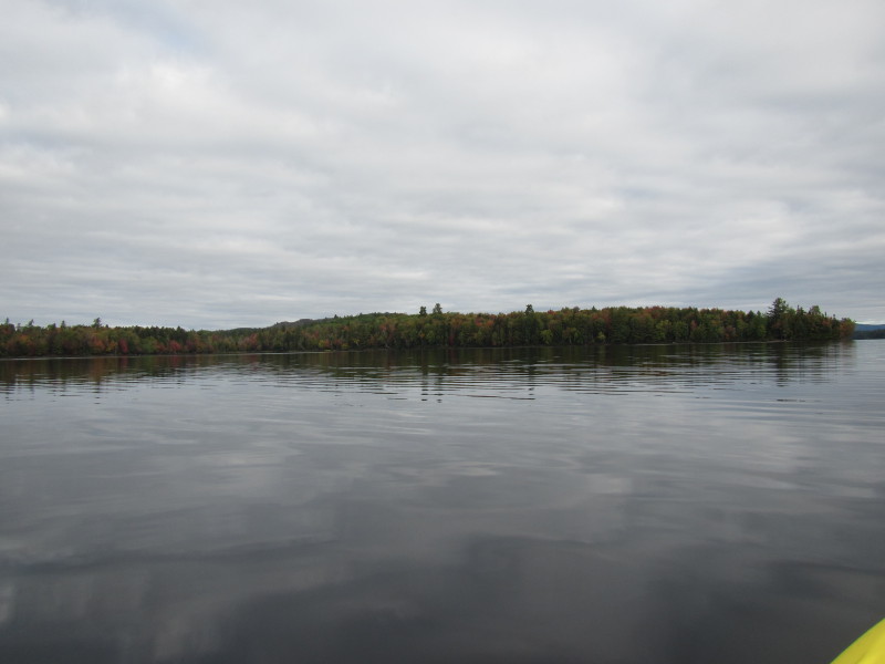
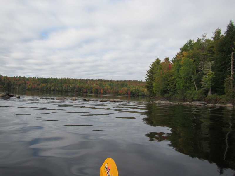
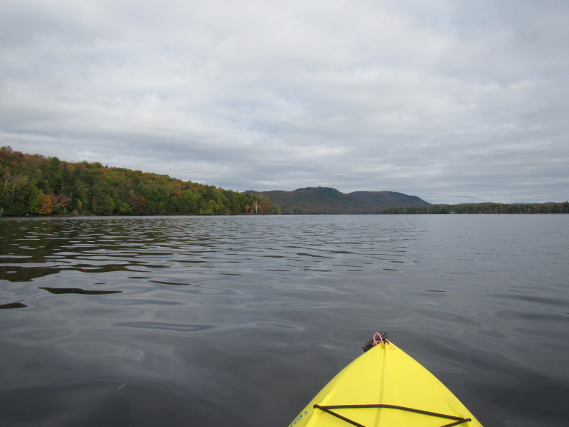
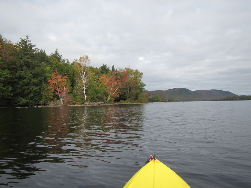
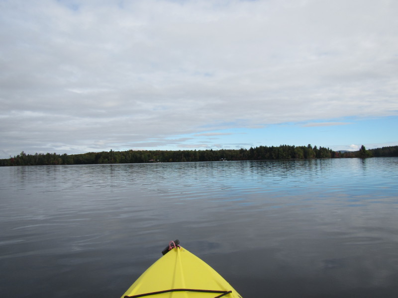
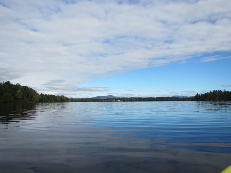
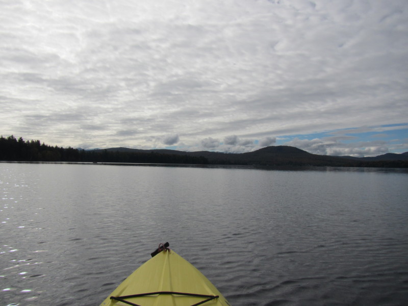
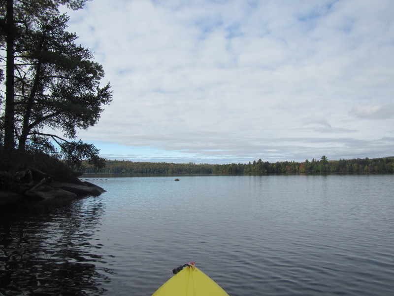
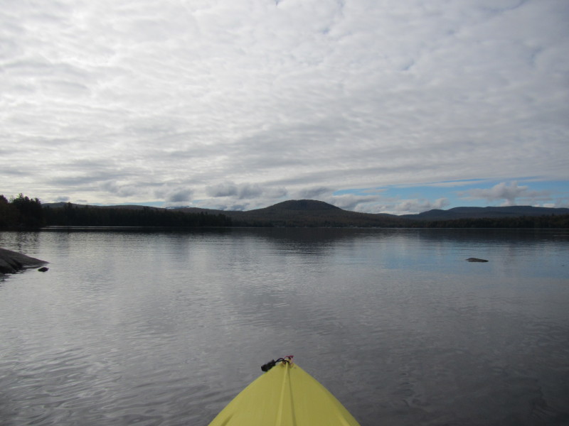
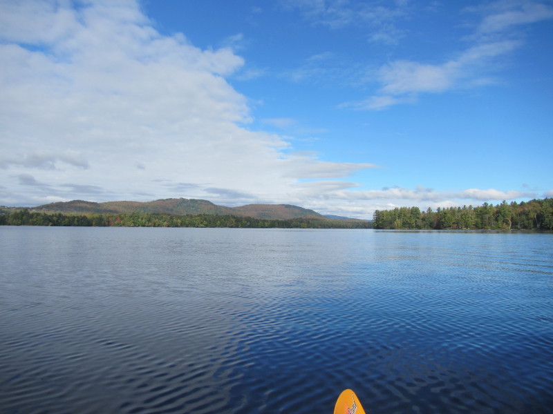
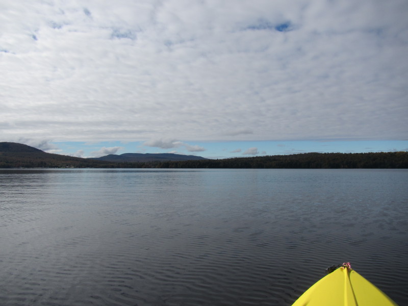
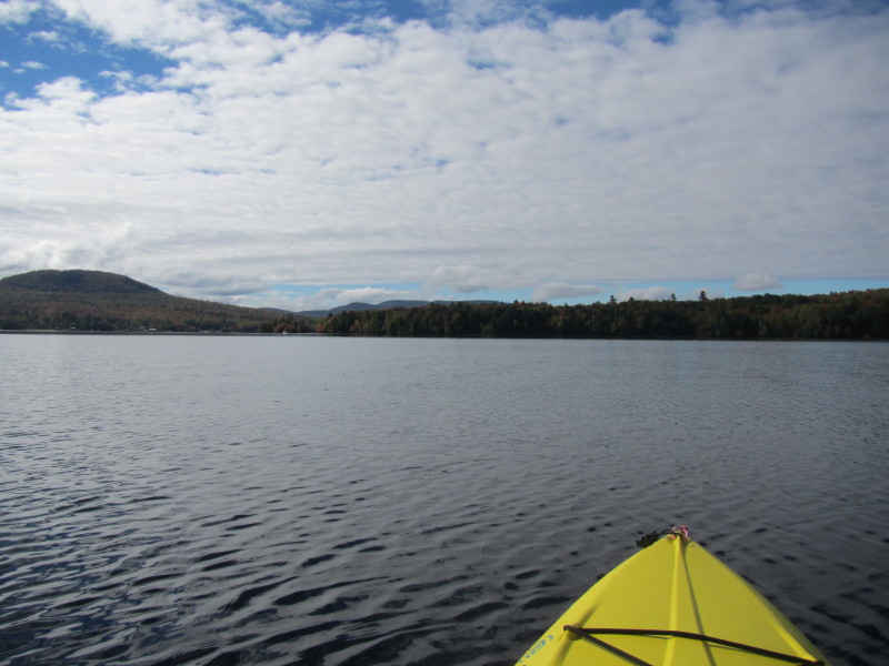
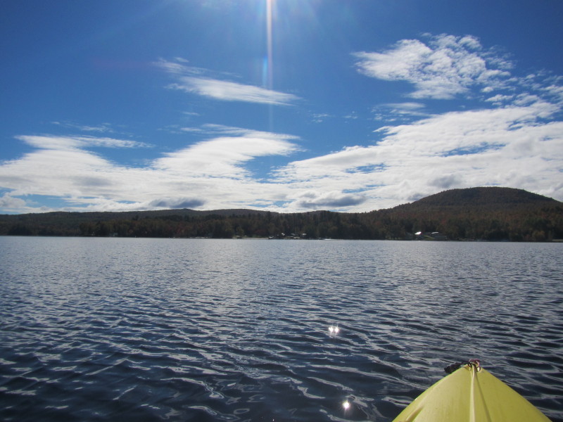
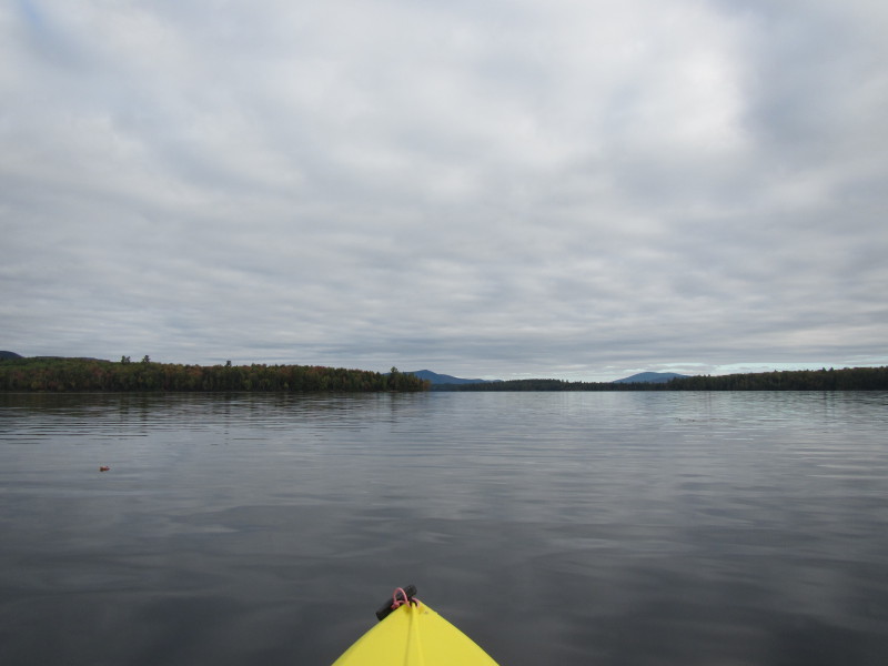 The vastness of Umbagog Lake not visible from the launch cove.
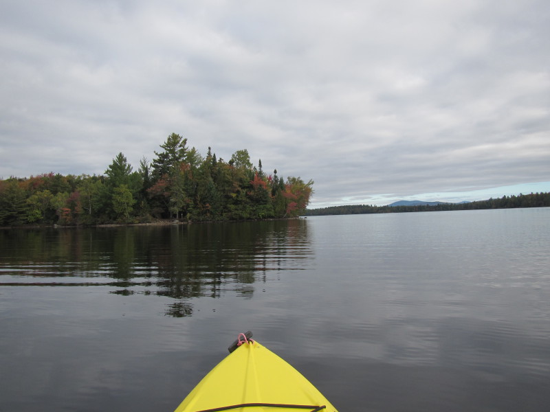
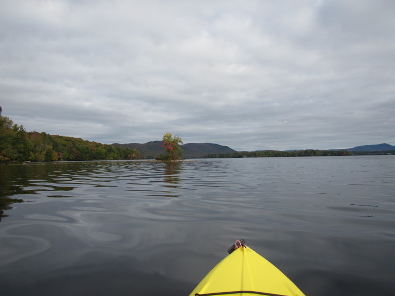
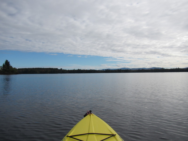
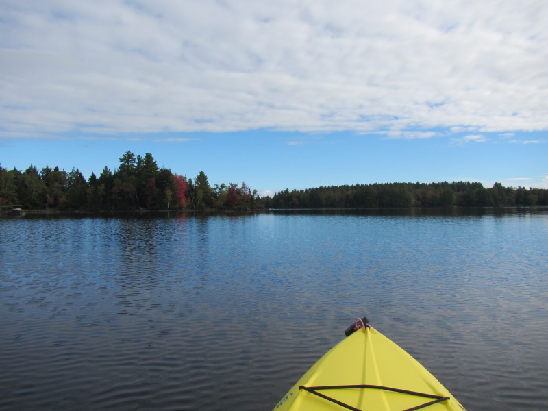
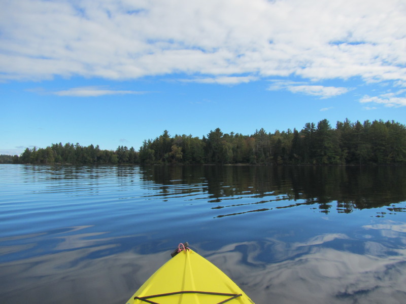
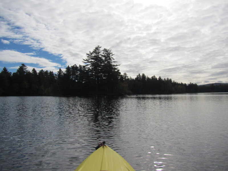
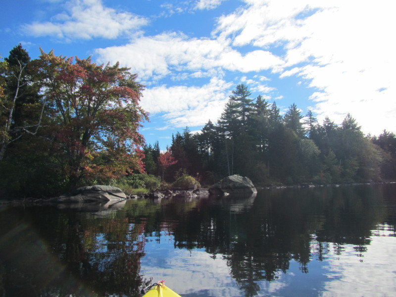
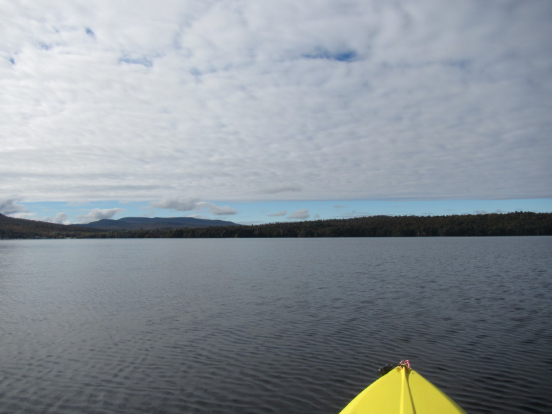
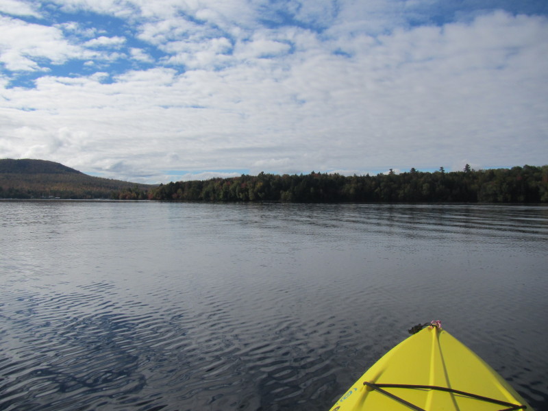
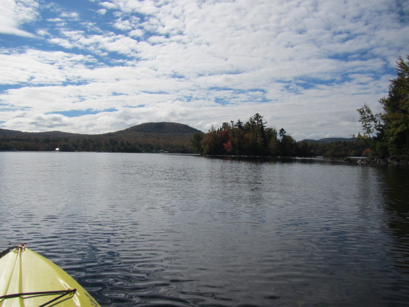
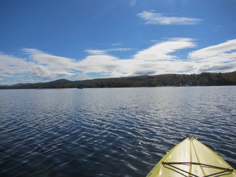
I will paddle to the tip of that cove at the center of this picture. 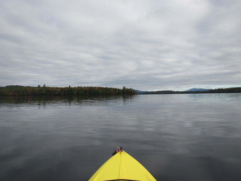
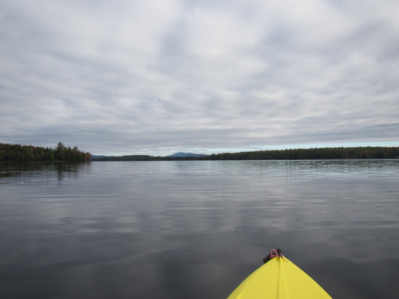
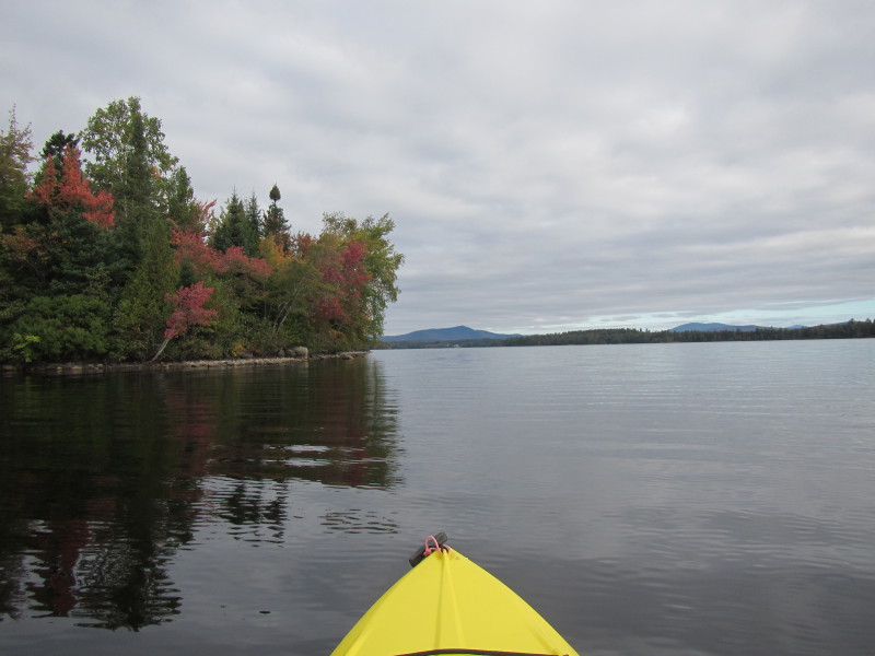
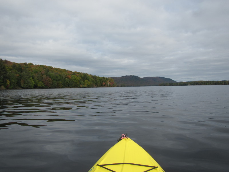
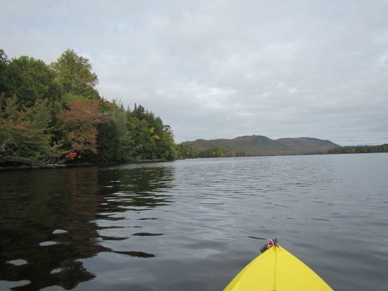
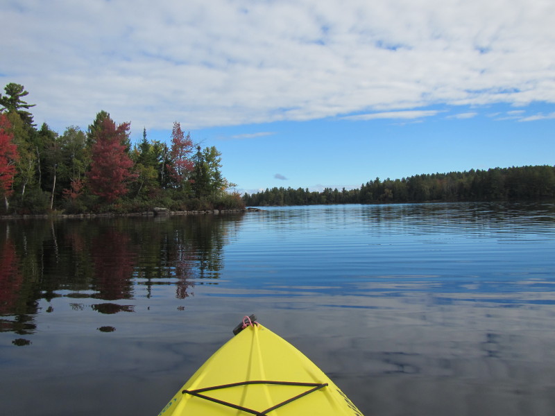
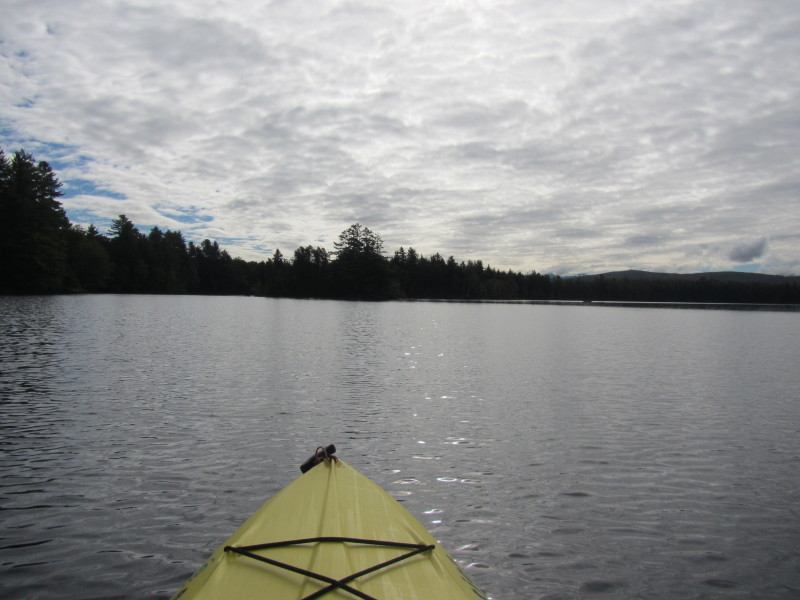
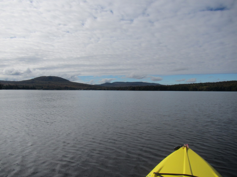
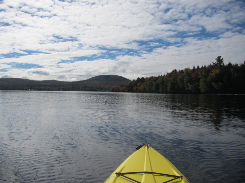
 Now past the first cove covering my view, continuing to follow the western shore.
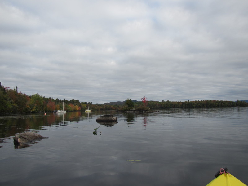
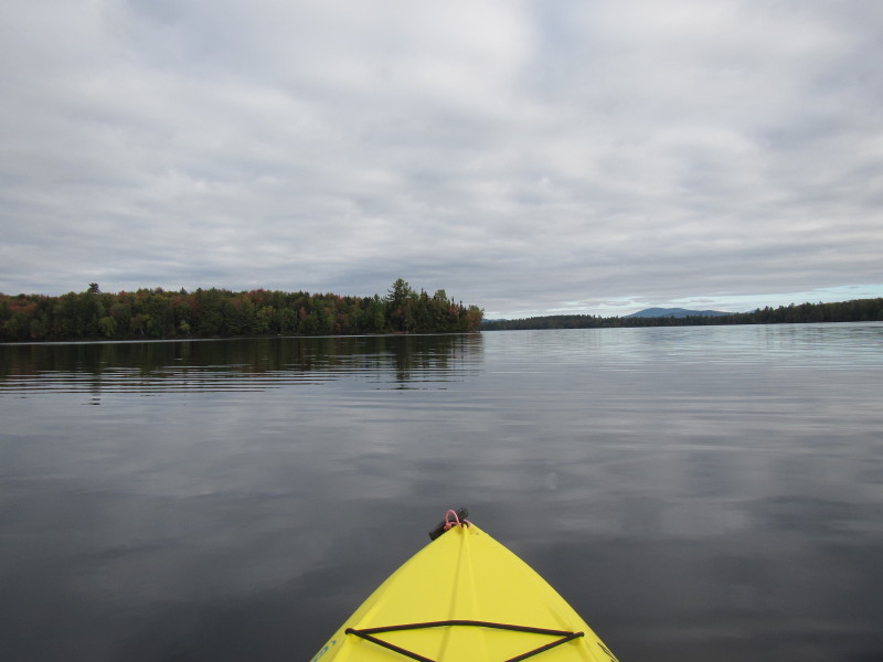
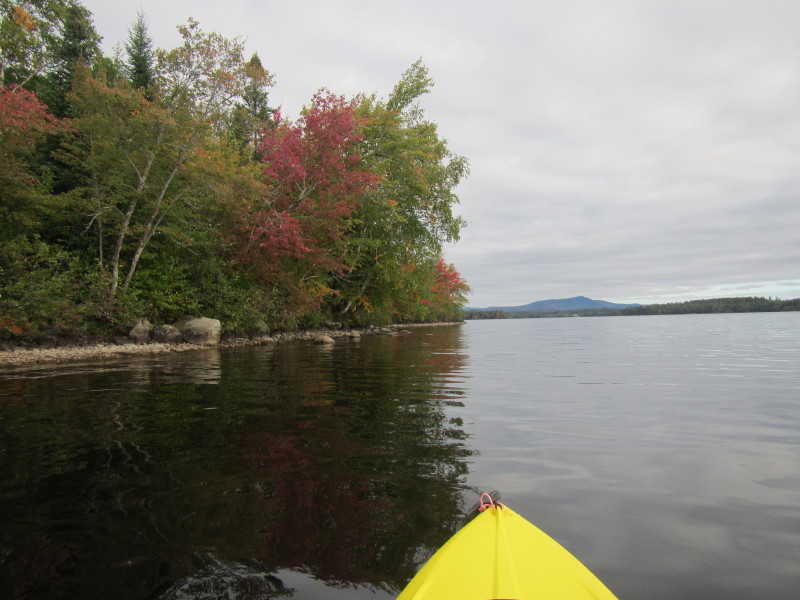
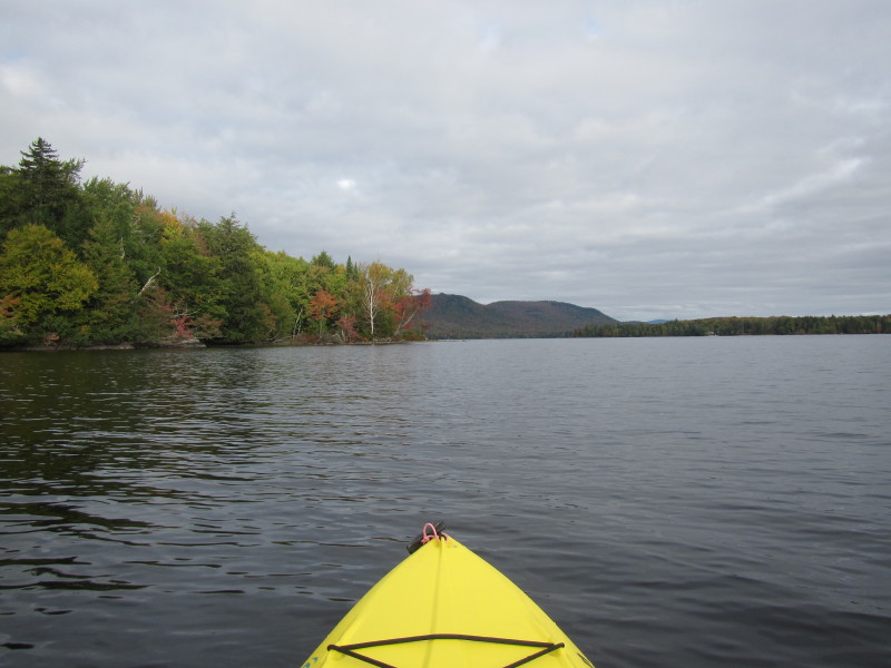
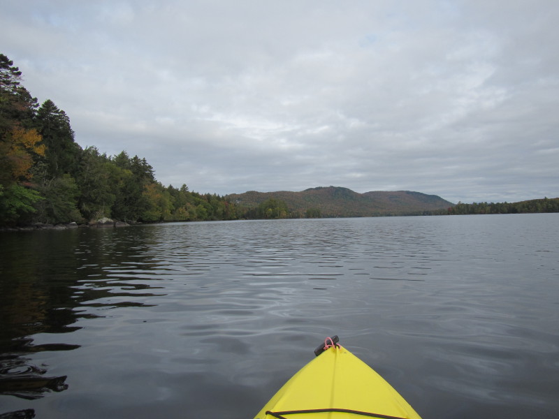
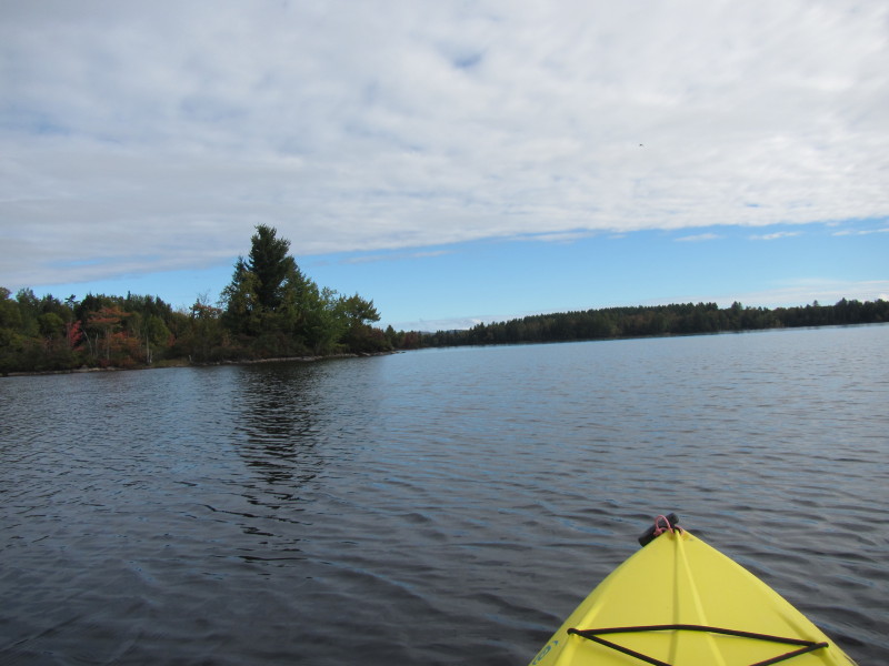
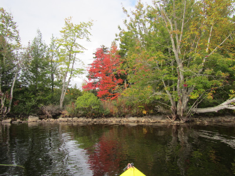
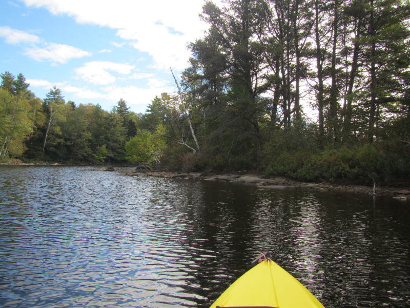
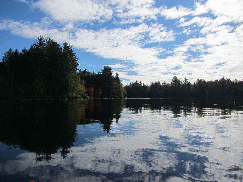
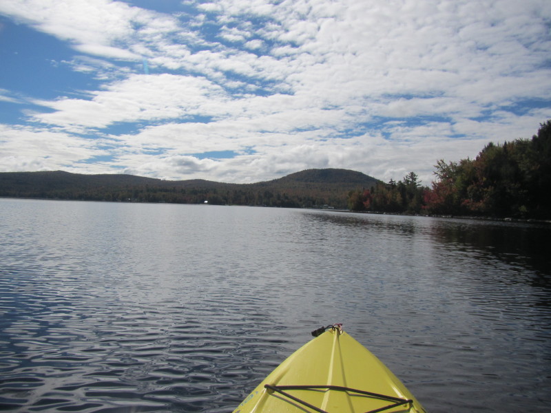
 To my left, rocky outcroppings.
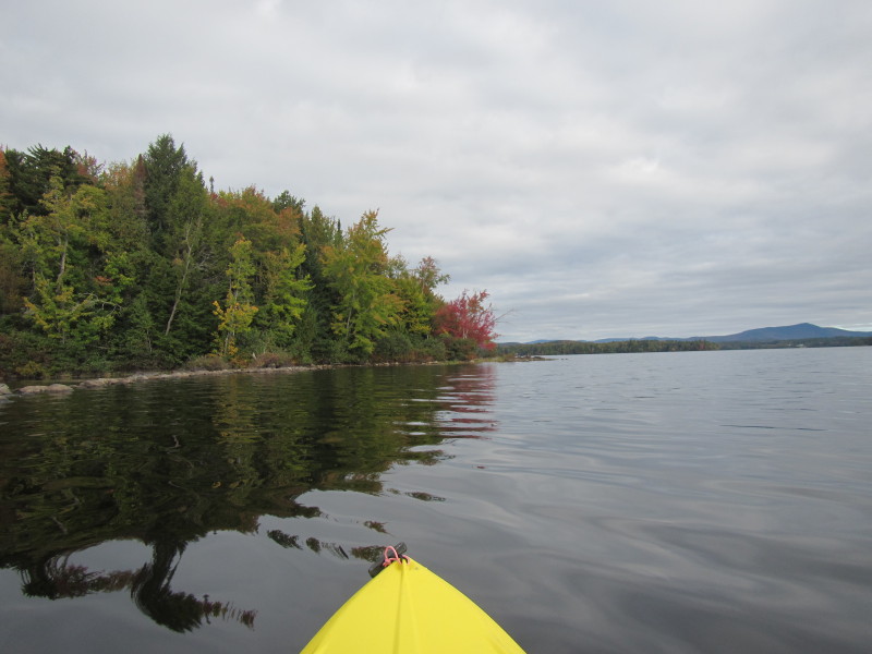
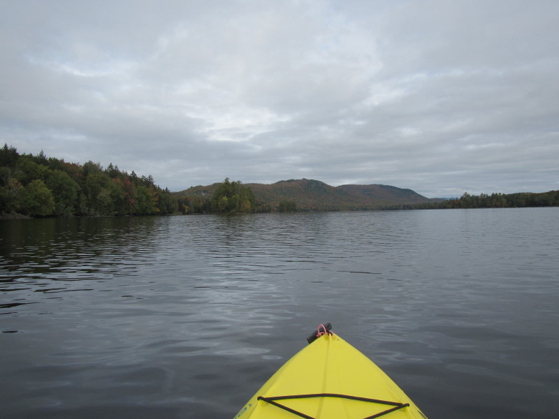
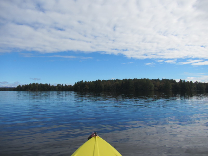
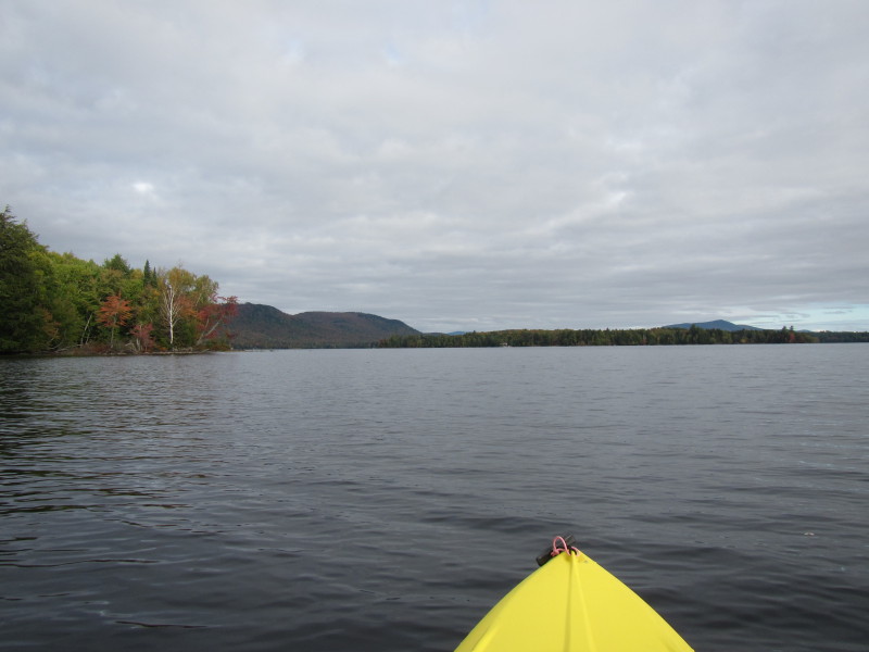 Big Island is on the right half of this picture.
 Looking to my right easterly direction, I can see the southern tip of the Big Island.
 Will now paddle across the lake to the eastern side passing south of the Big Island.
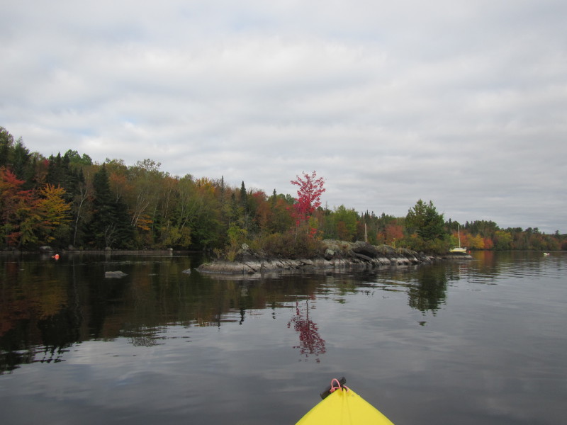
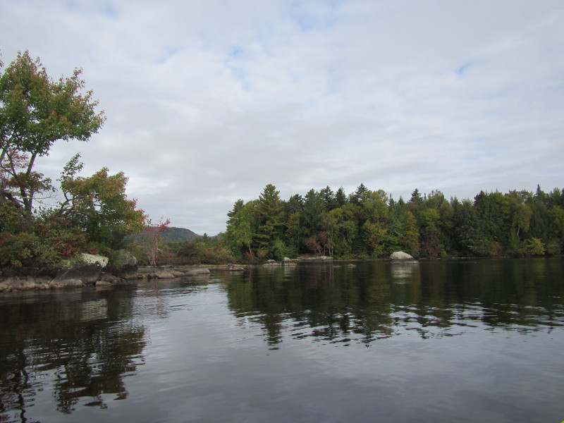
 The bits of islands on the southern side of Big Island.
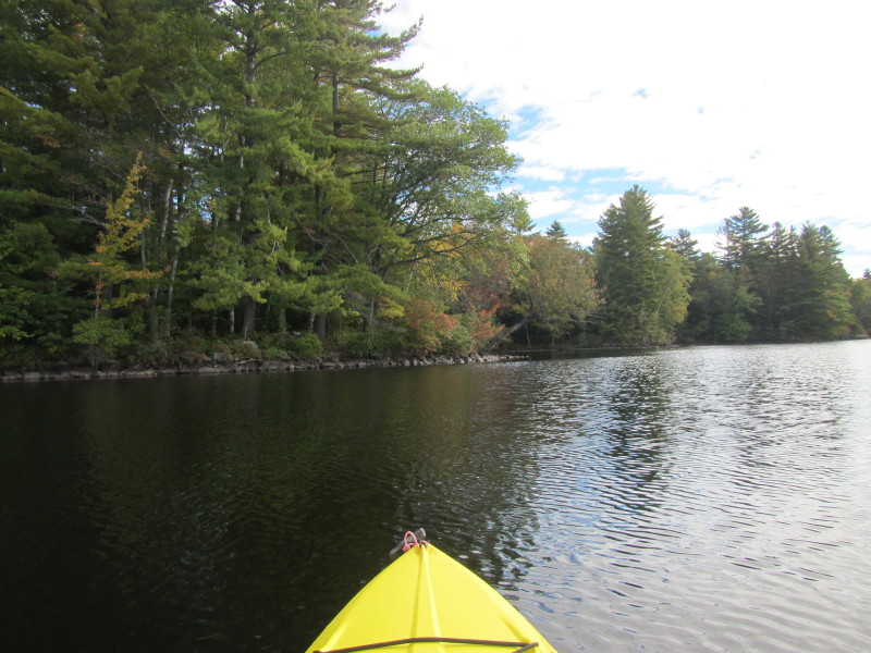
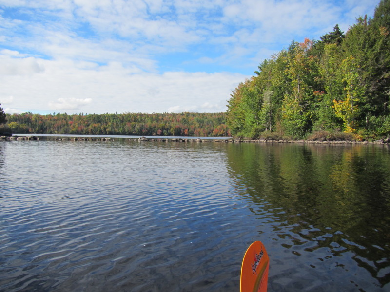
 On my left is the cove on the south side of Big Island.

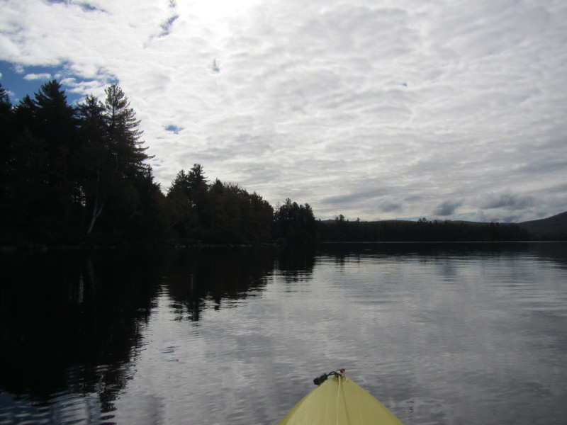
 Now past the Big Island and crossing to the eastern shore.
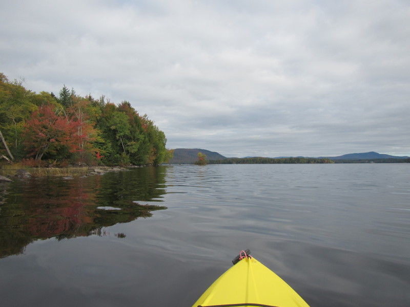
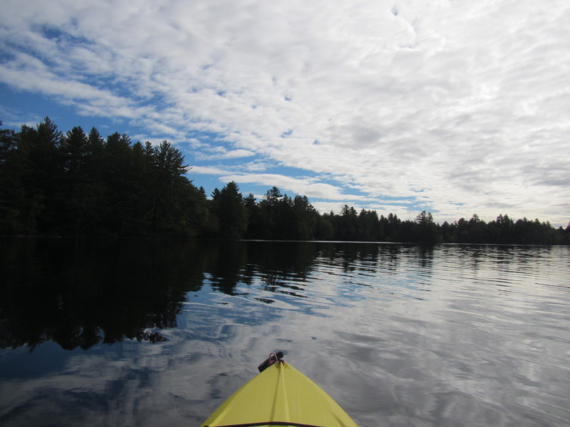
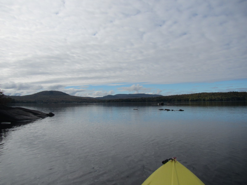
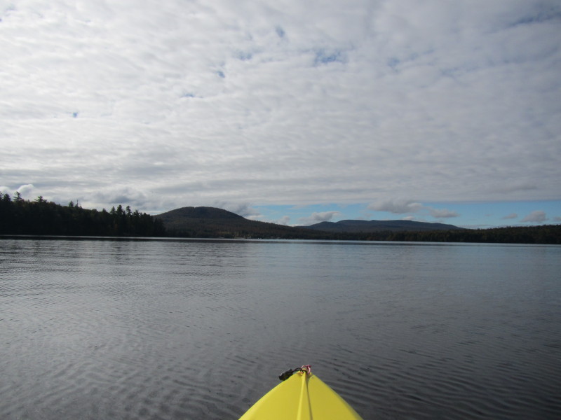
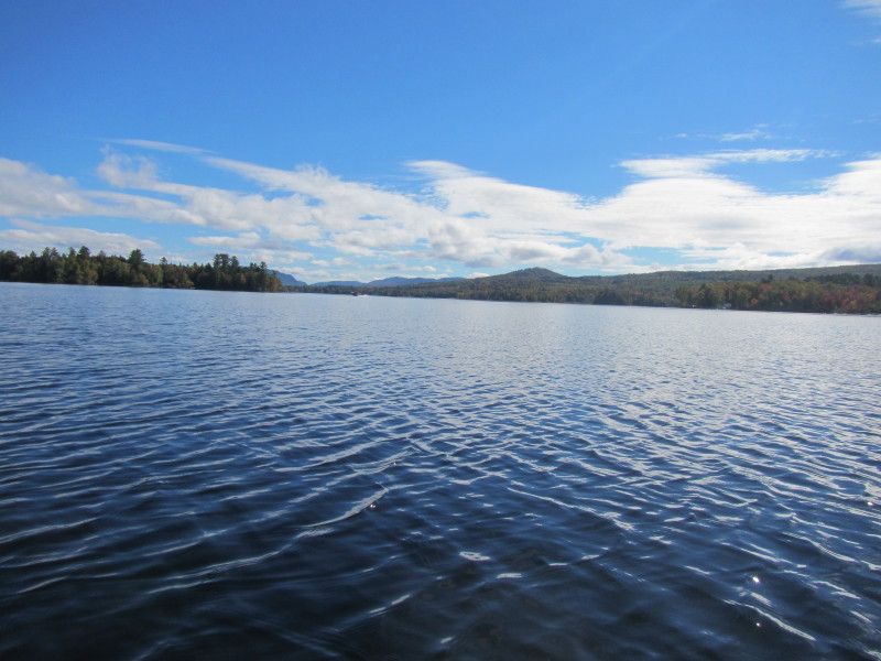
 Looking to my left is the rest of the Umbagog Lake to be explored another day.
 Now close to the eastern shore, will paddle southeasterly direction to get back to where I started.
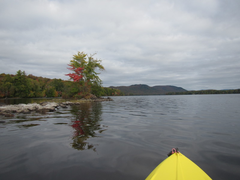
 I will be landing on this island in the right-half of the picture.
 Landed for a break.
 Back on the waters of Umbagog Lake.
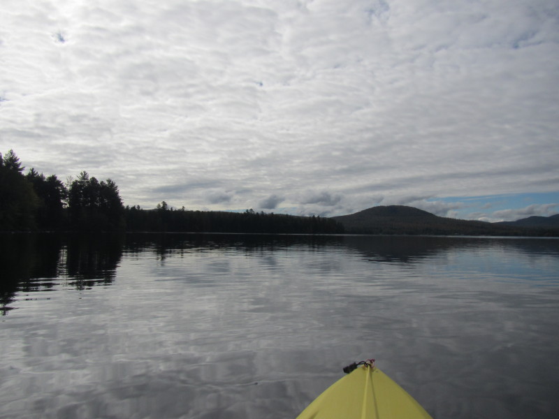
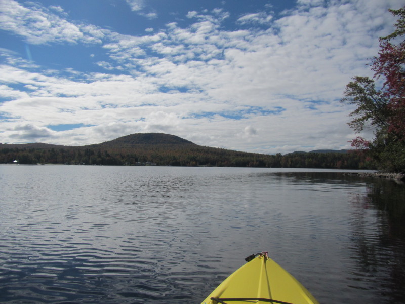
 Will now paddle again on the open waters from the northeast shore to head straight to the launch area.
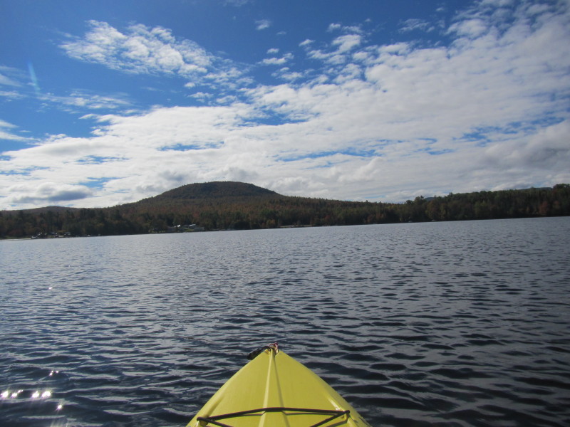
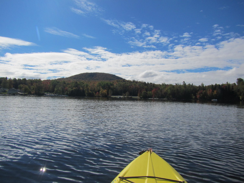
 On my right is the tip of the cove. Directly ahead is the launch area.
 Looking briefly to my left.
 Landed.
|