|
Download printer-friendly
PDF version that fits in one page: |
Other resources:
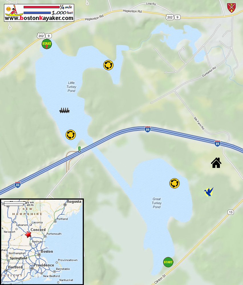
NH Love it of Leaf it: Paddling Turkey Ponds McLane Audubon Center and Silk Farm Wildlife Sanctuary brochure NH Govt: Turkey Pond Bathymetry Map NH Govt: Turkey Pond Bathymetry Map (cached copy) All photos in this website are original and copyrighted. The roadsign marking the launch to Turkey Pond on Route 13 in Concord NH. Trip date is July 2020. The Boston Kayaker just launched on Turkey Pond. I am just paddling straight ahead northwards. Waterlilies. The I-89 bridges in sight. Beds of waterlillies. A beautiful aquatic garden! There is actually a footbridge along the I-89 bridge . . . Paddling northwards under the I-89 bridge over Turkey Pond. To my right is the Saint Paul's School boathouse. Grandstand for people watching rowing practice. Facing north, some islands. I will circle these islands counter-clockwise. White lilies dot the island . . . I have now reached the northern end and pivoting back around these islands. Facing south, I can see the I-89 bridge. Paddling under the I-89 bridge southwards. Some pedestrians on the foot bridge over Turkey Pond. Continuing straight ahead to the launch area. Approaching the launch area. Landed. Paddle time is 1 hour 16 minutes. The dirt road off Route 13 to Turkey Pond. |