 Kayaker

|


|
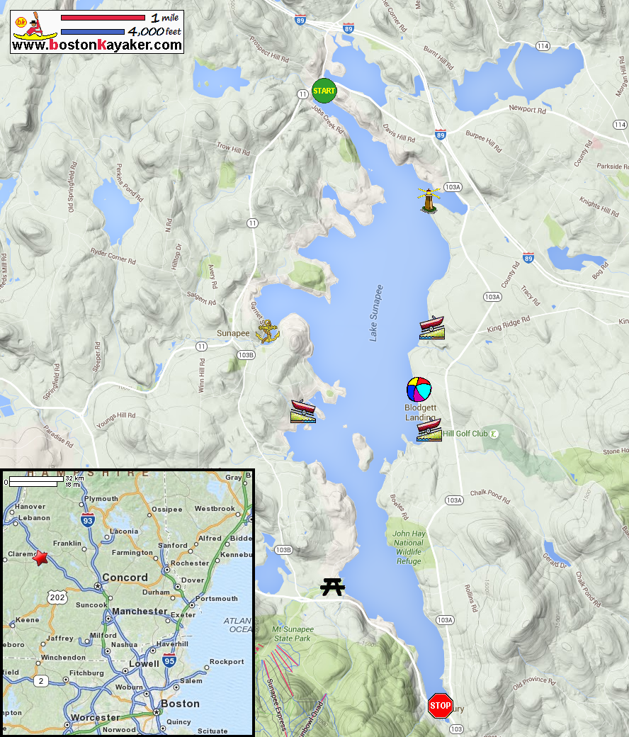
Download printer-friendly
PDF version that fits in one page: |

|
|
Other resources:
NH Govt.: Sunapee Lake Map NH Govt.: Sunapee Lake Map (cached copy) NH Parks: Mount Sunapee State Park NHStateParks.com: Sunapee Beach State Park All photos in this website are original and copyrighted.  At George Mills Beach on Cooper Street off Route 11 in Sunapee NH.
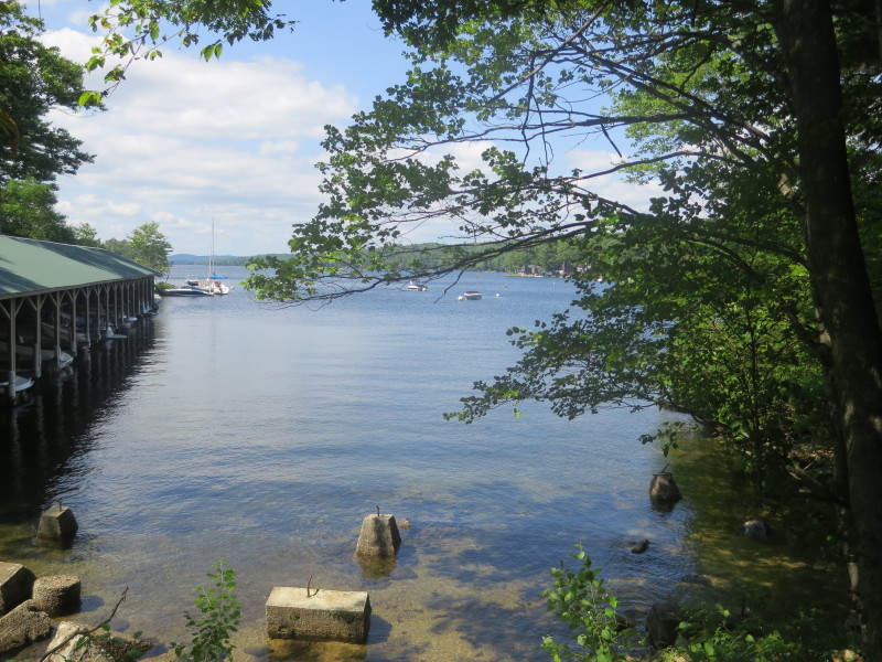
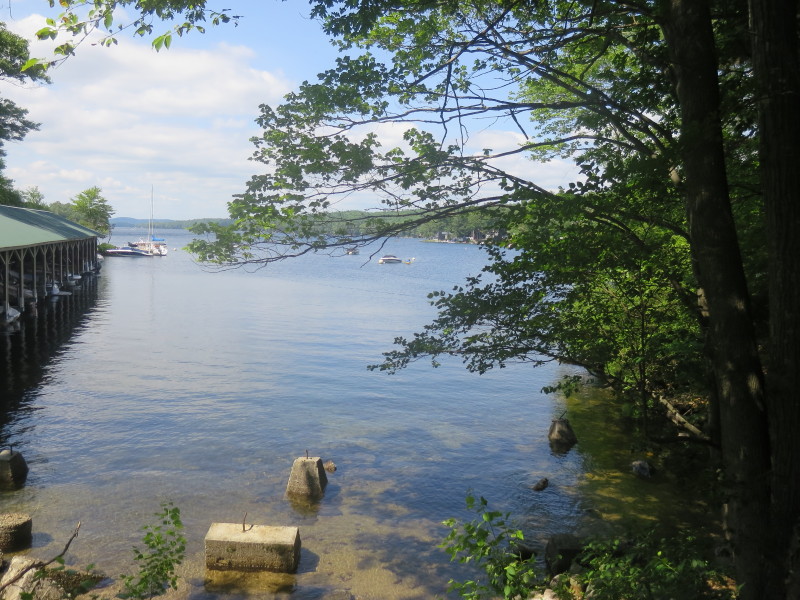
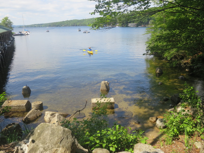
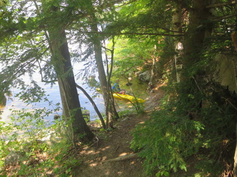
Trip date is July 2020. 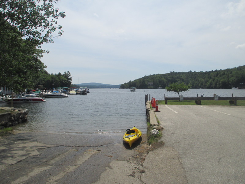 The ramp to Lake Sunapee at George Mills beach.
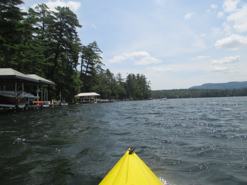
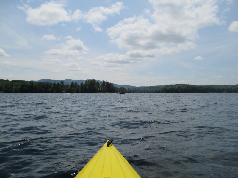
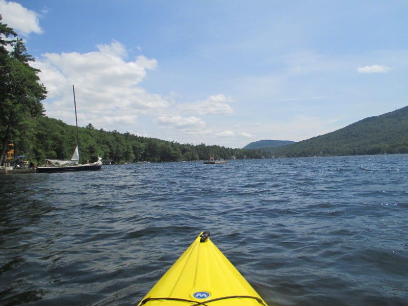
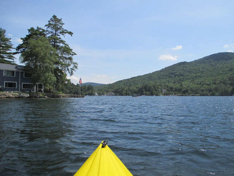
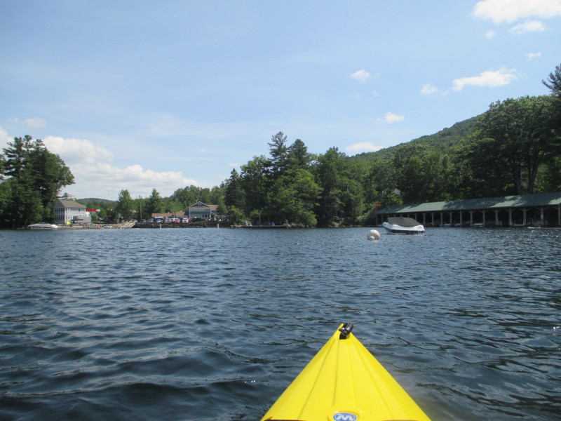
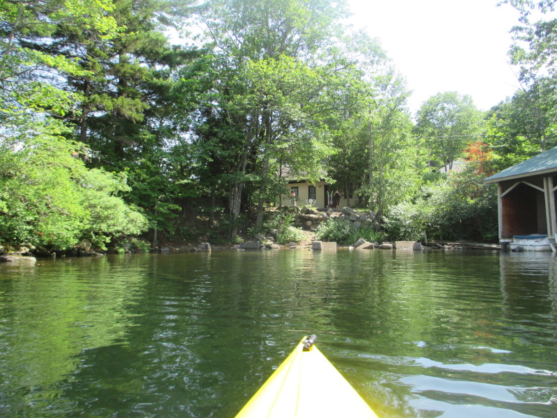
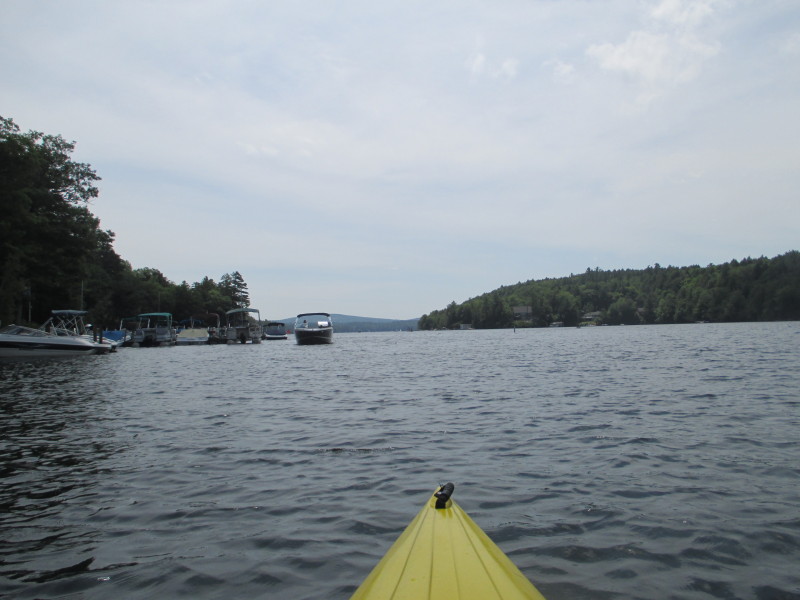 The Boston Kayaker just launched on Lake Sunapee.
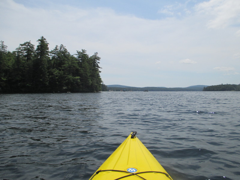
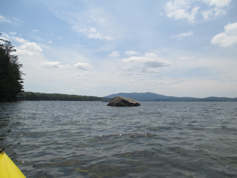
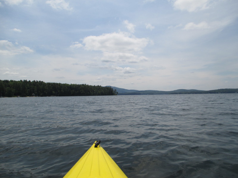
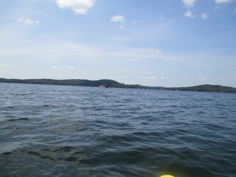
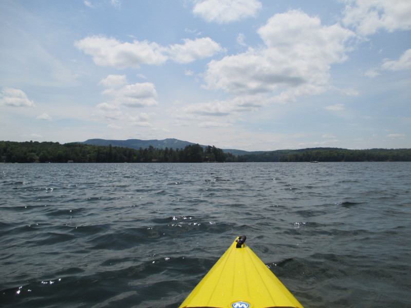
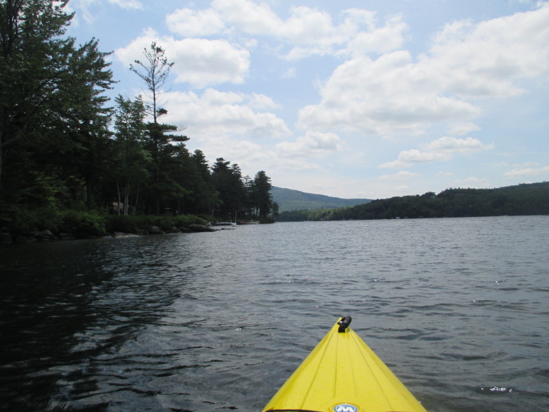
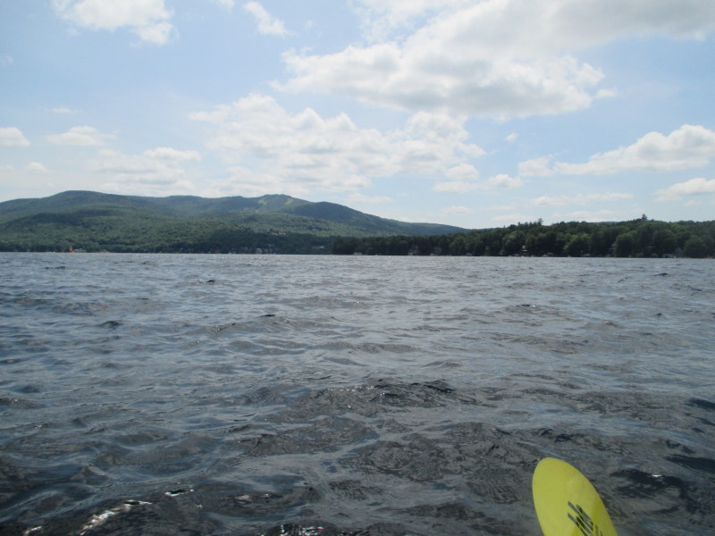
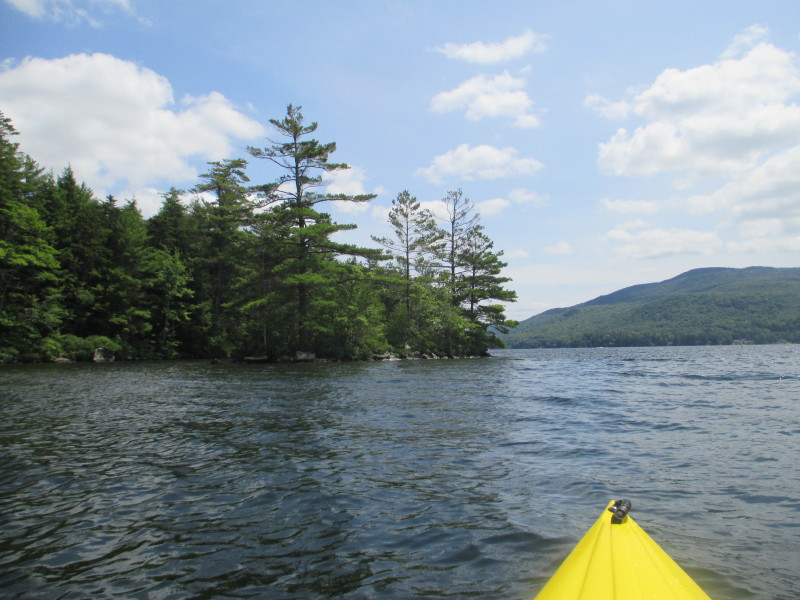
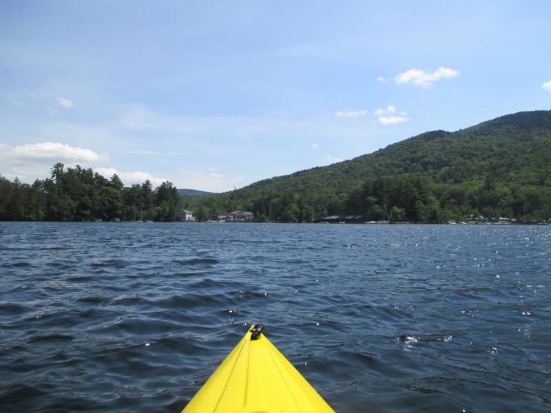
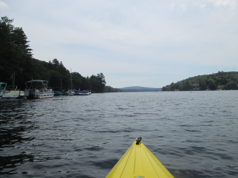 That is Mount Sunapee on the southern end of the lake.
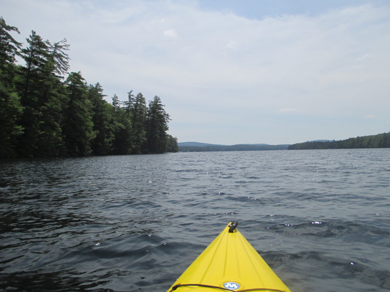
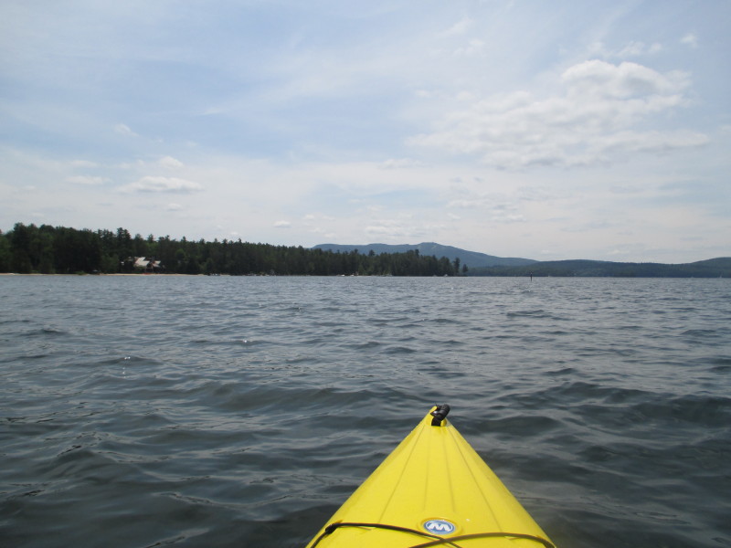
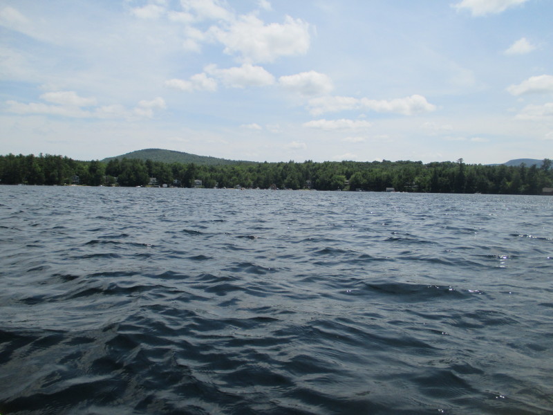
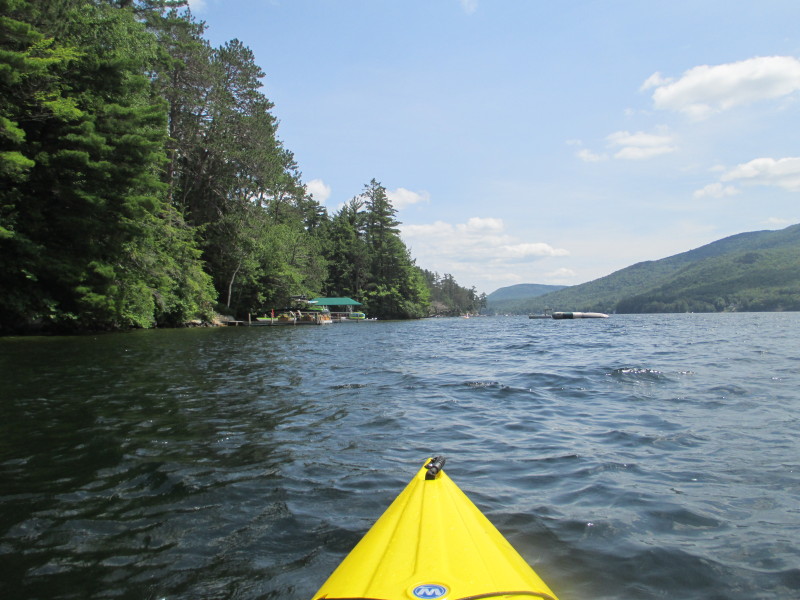
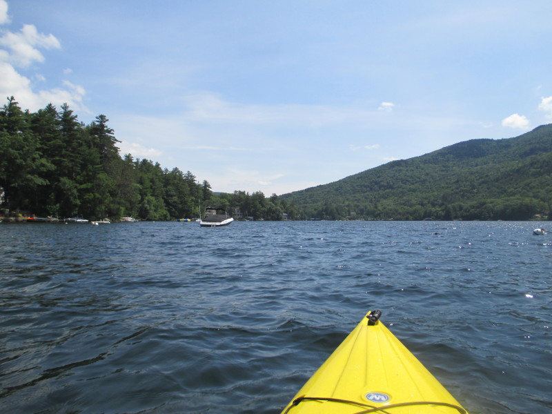
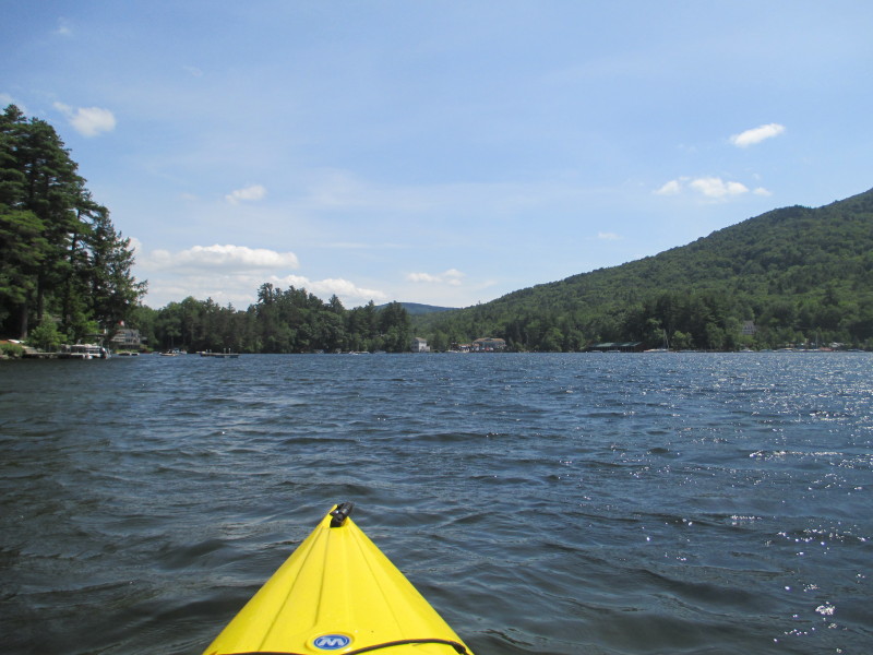
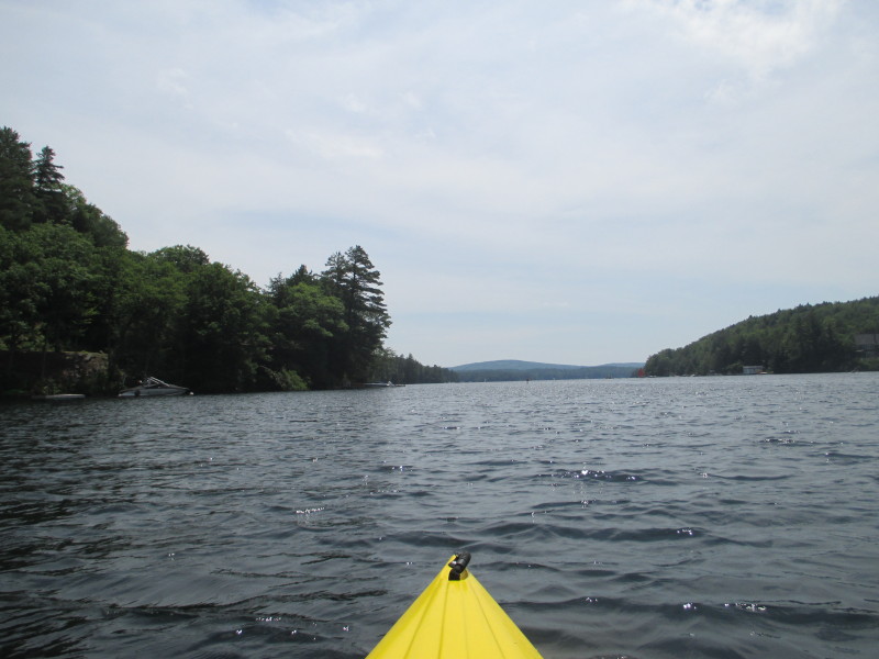 The plan is to paddle to the southern end of the lake staying close to the shore on my left (east shore).
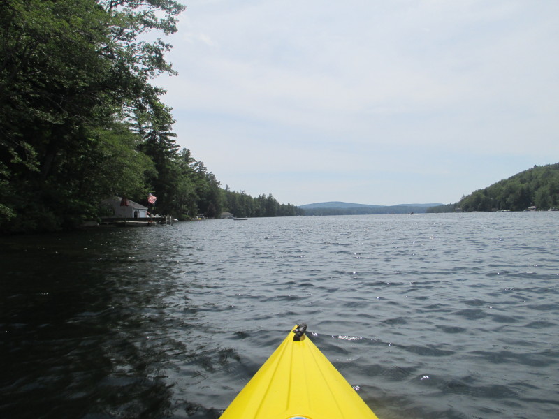
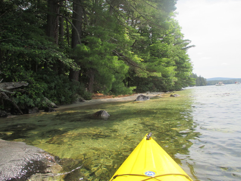
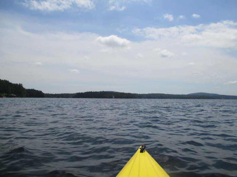
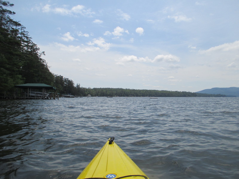
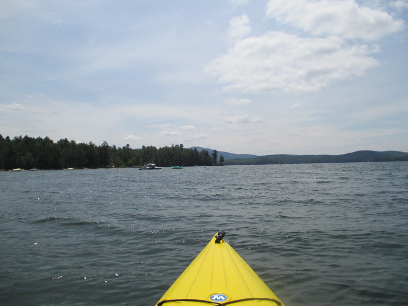
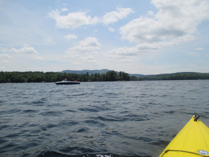
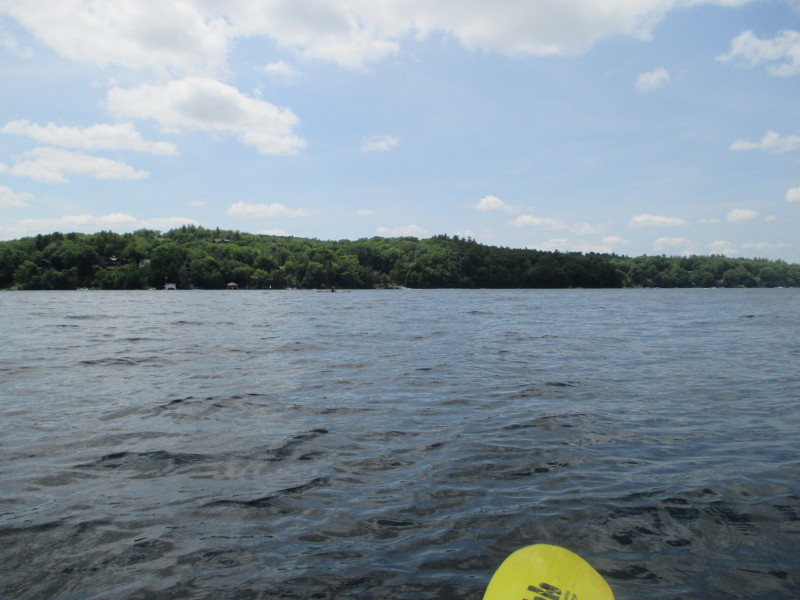
 Looking to my right (west).
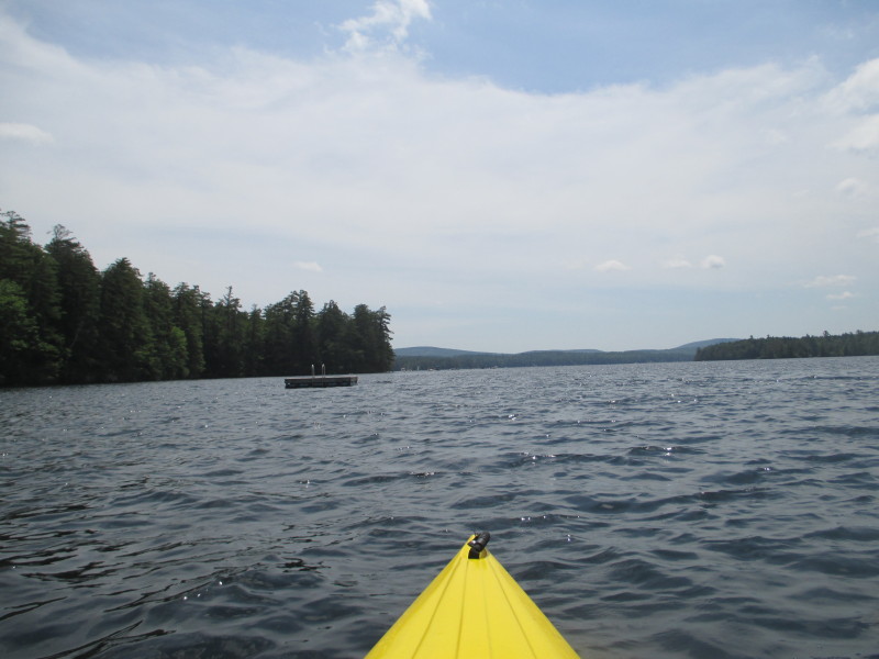
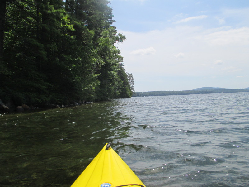
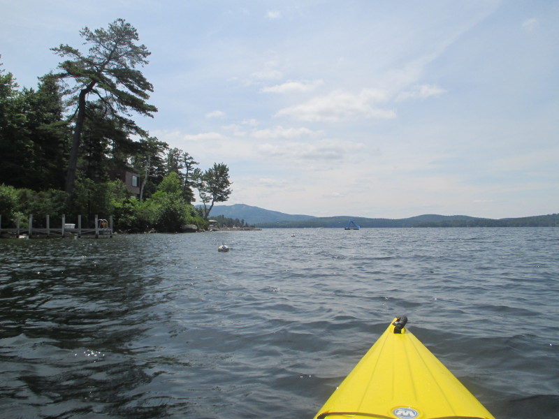
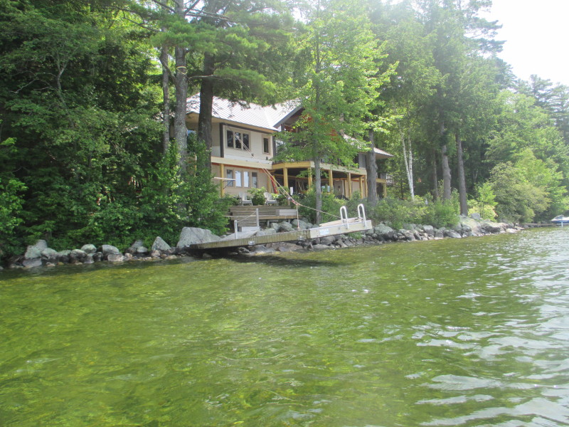
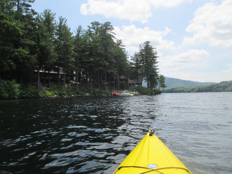
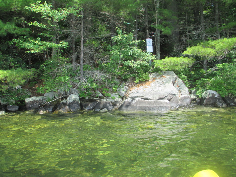
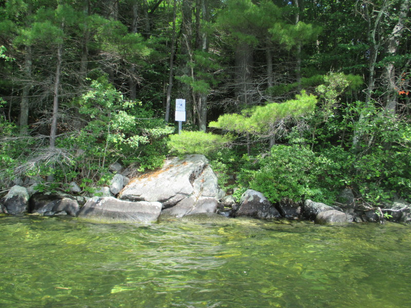
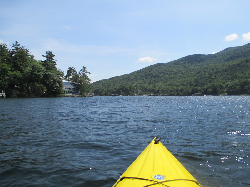
 Tempting to land on this sandy beach spot but there is a "Private Property" sign.
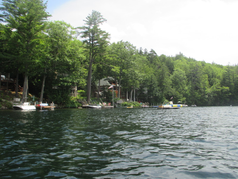
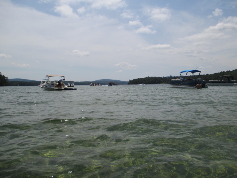
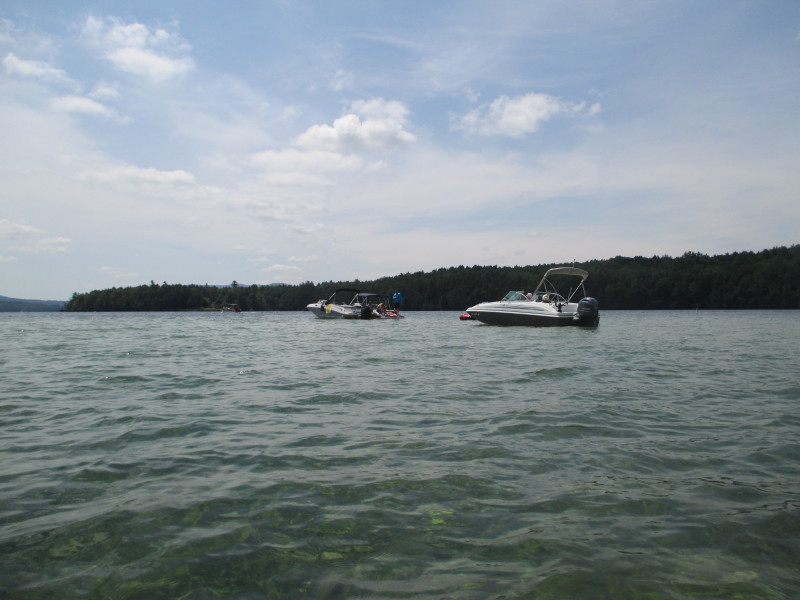
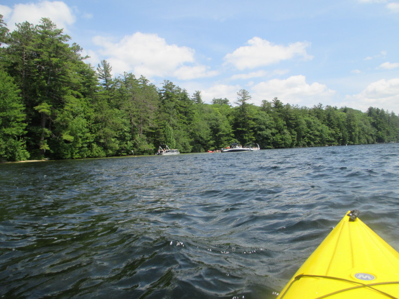
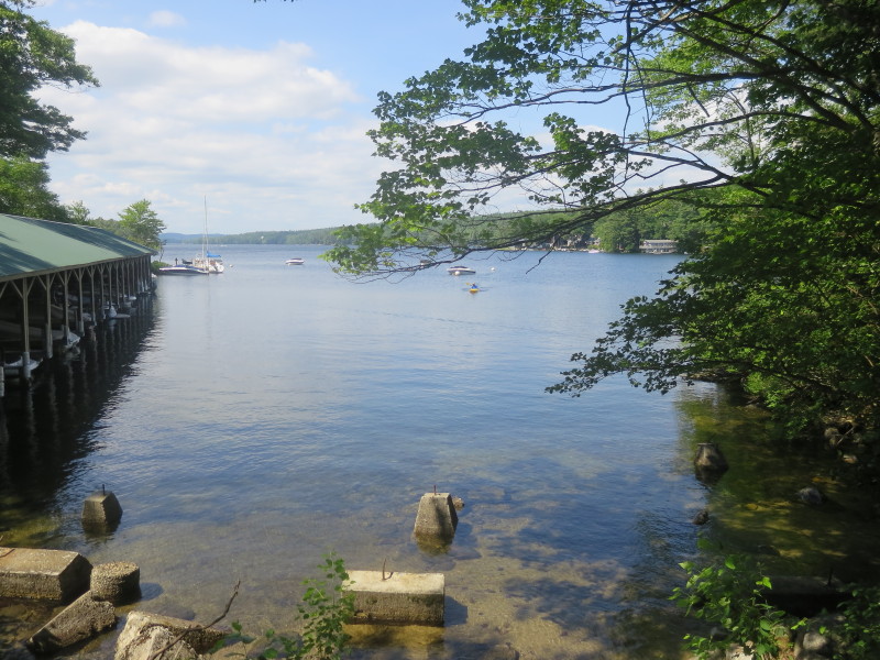
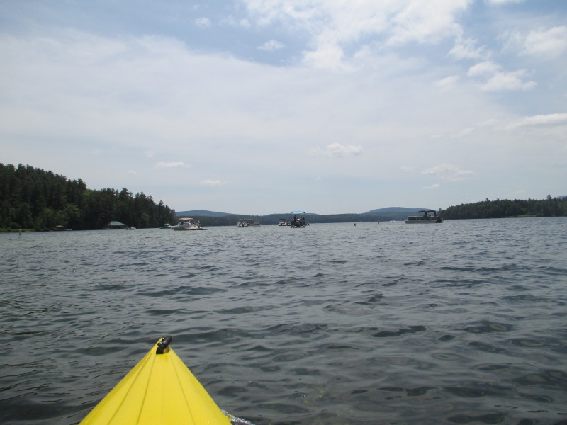 These boats parked here taking advantage of waist-deep waters where they wade and swim.
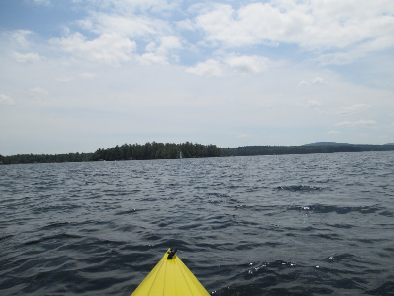
 That white in the middle is the Herrick Cove lighthouse.
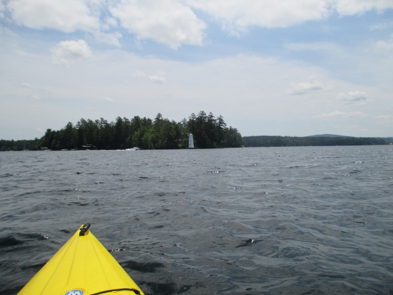
 I am taking a short-cut and heading straight to that lighthouse.
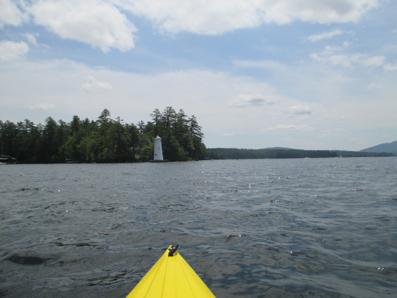
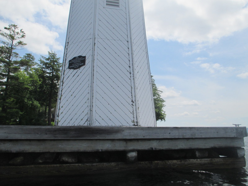
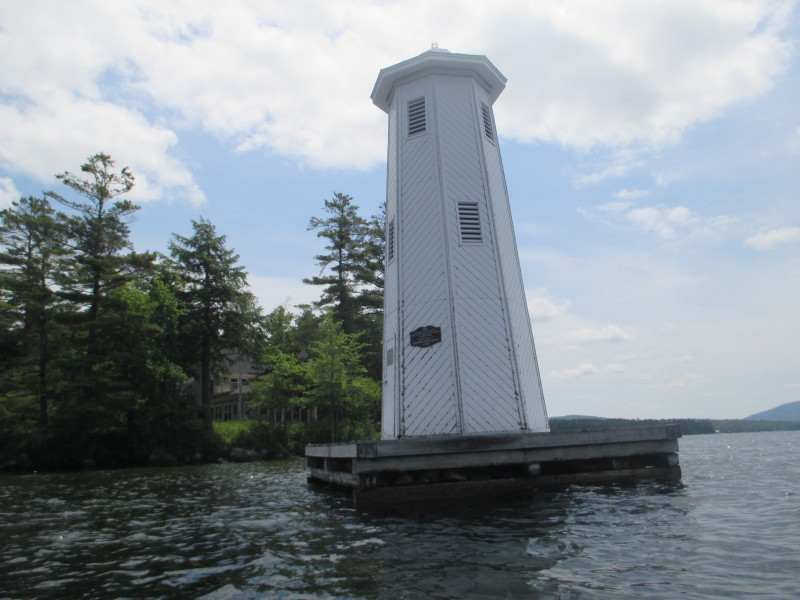 Herrick Cove lighthouse.
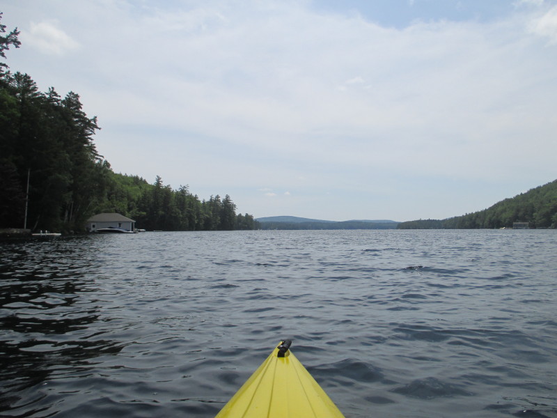
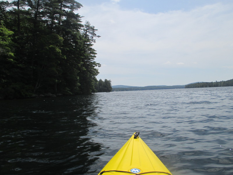
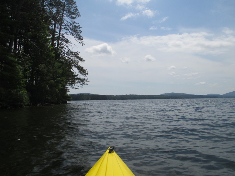
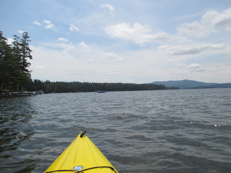
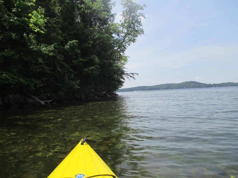
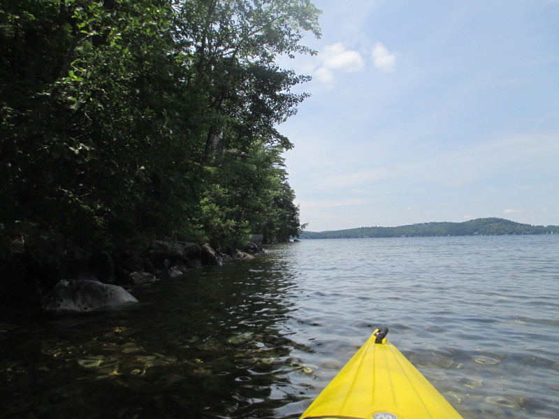
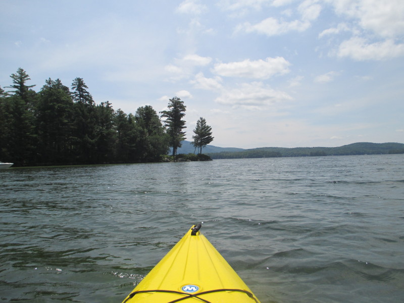
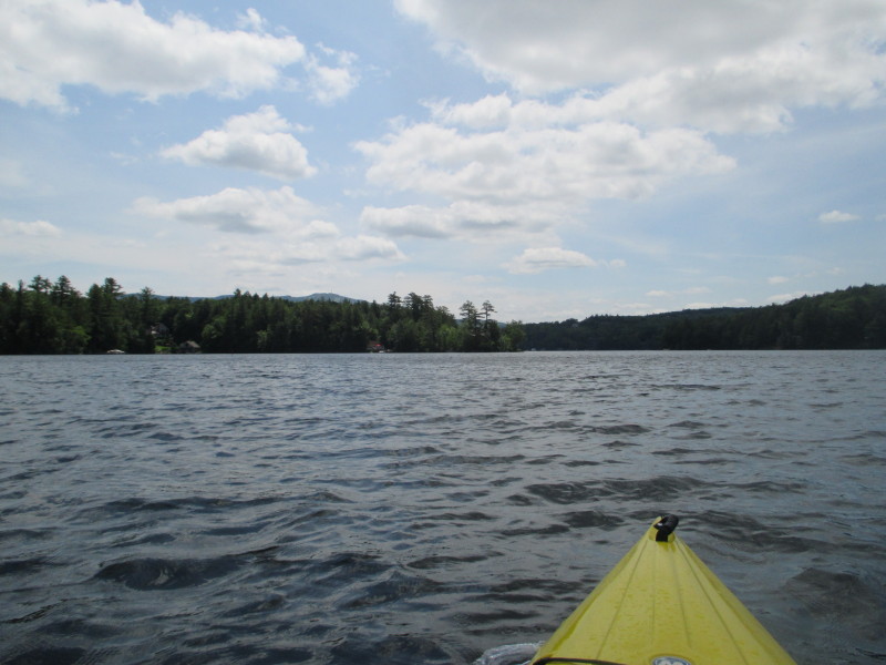
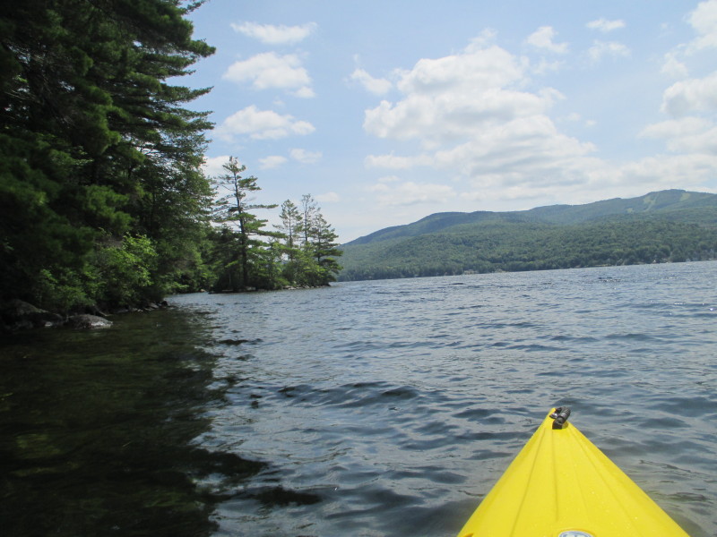
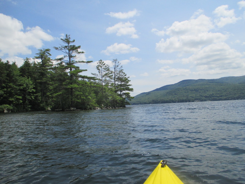
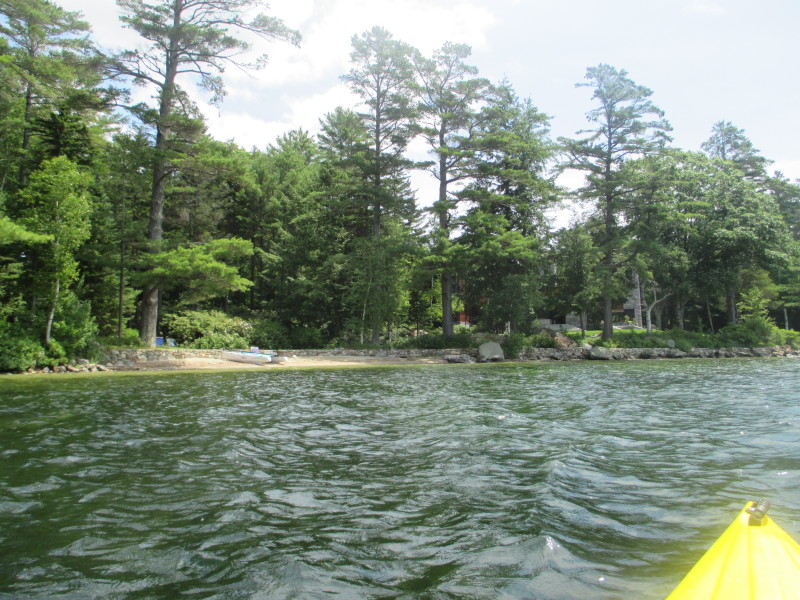 Following the coastline on my left.
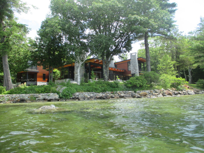
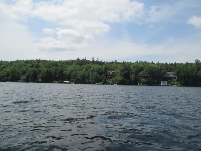
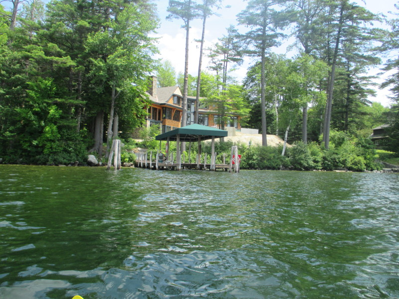
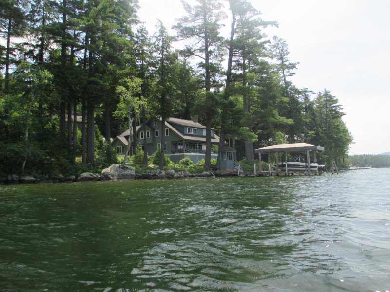
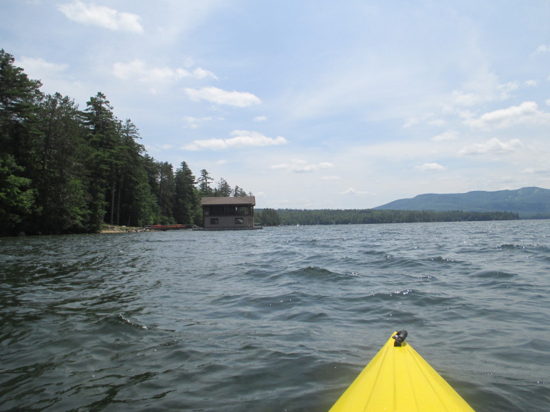
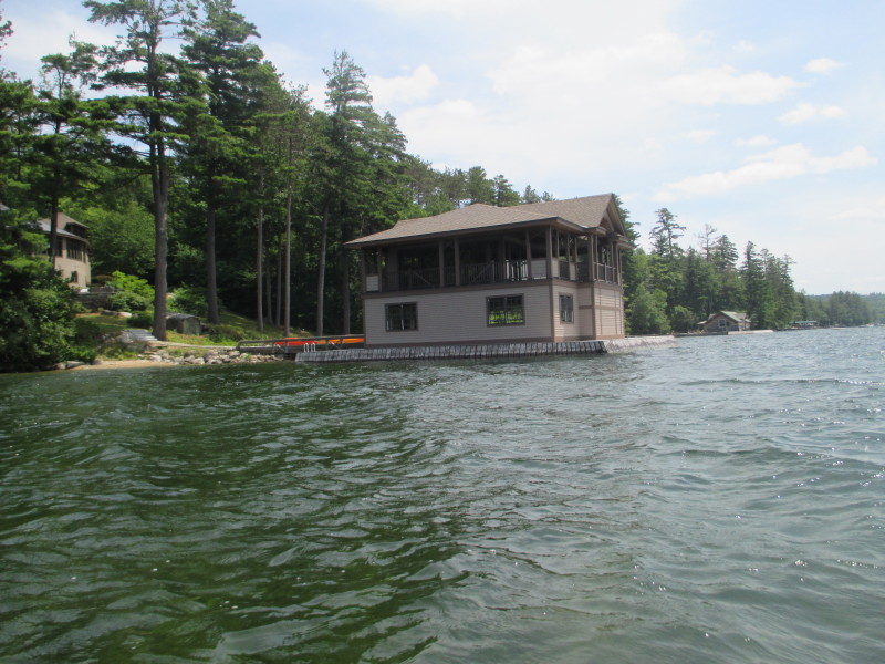
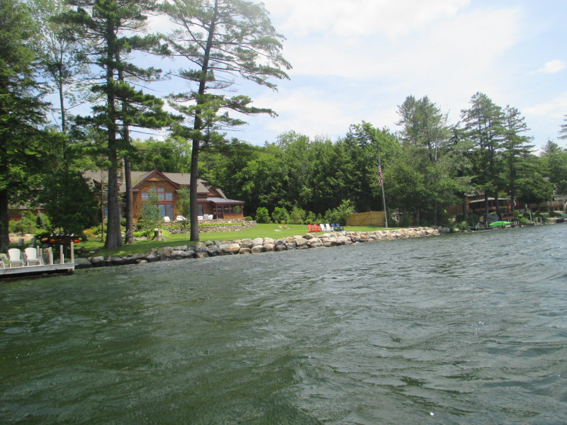
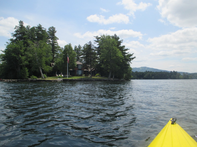
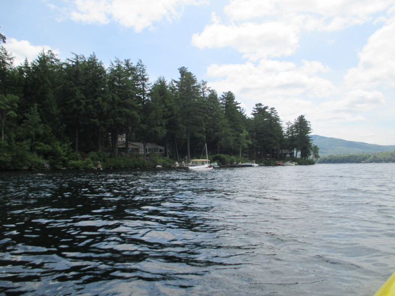
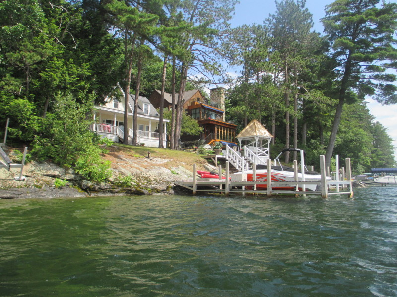
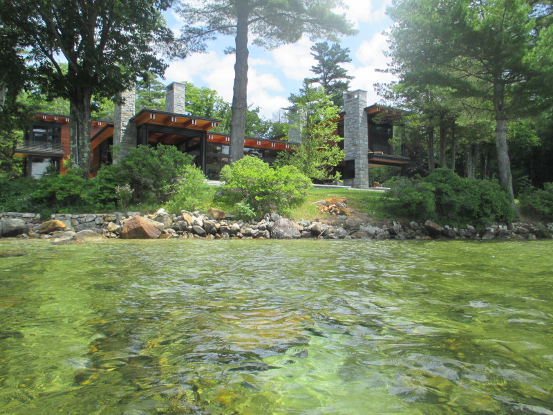 Very nice luxury waterfront house on Lake Sunapee.
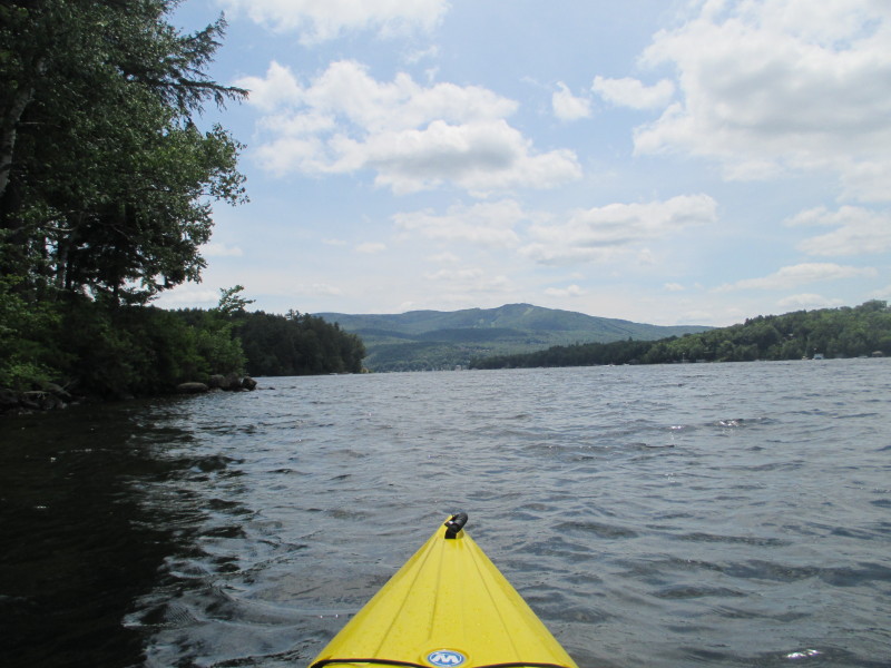
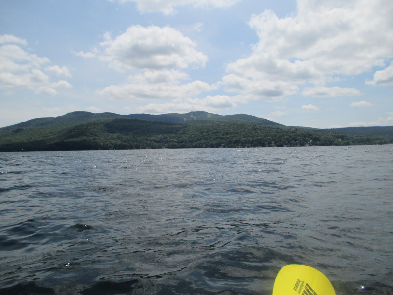
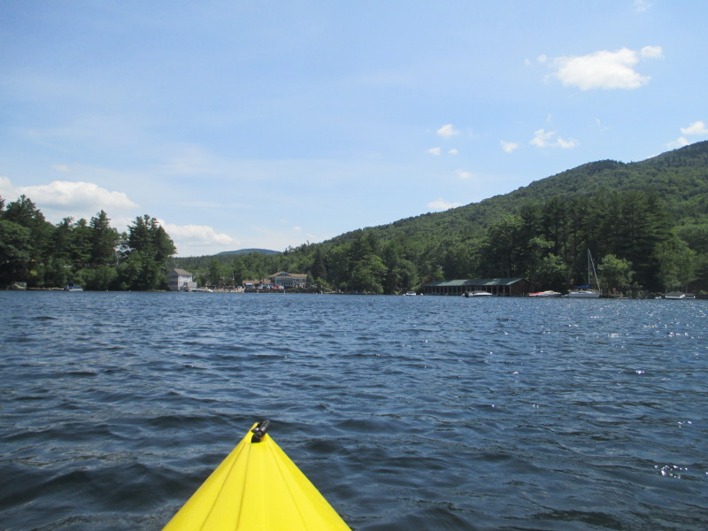
 From here I can see the skiing trails on Mount Sunapee.
 Mount Sunapee getting closer and the skiing trailers a lot clearer to be seen.
 John Hay National Wildlife Refuge.
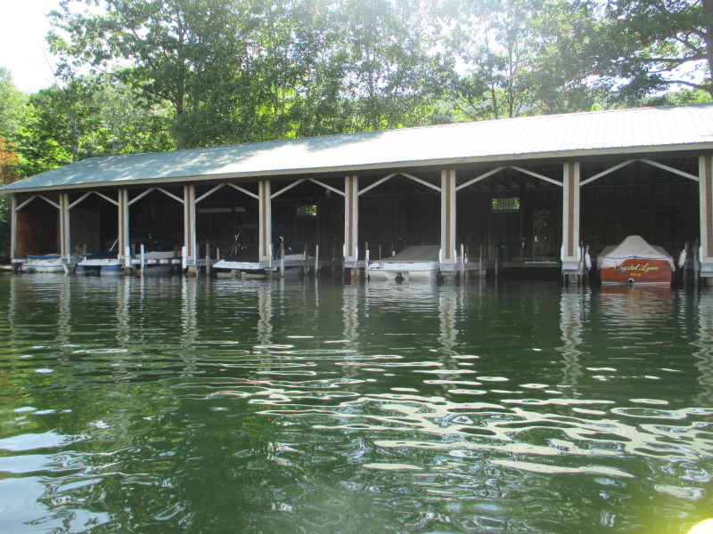
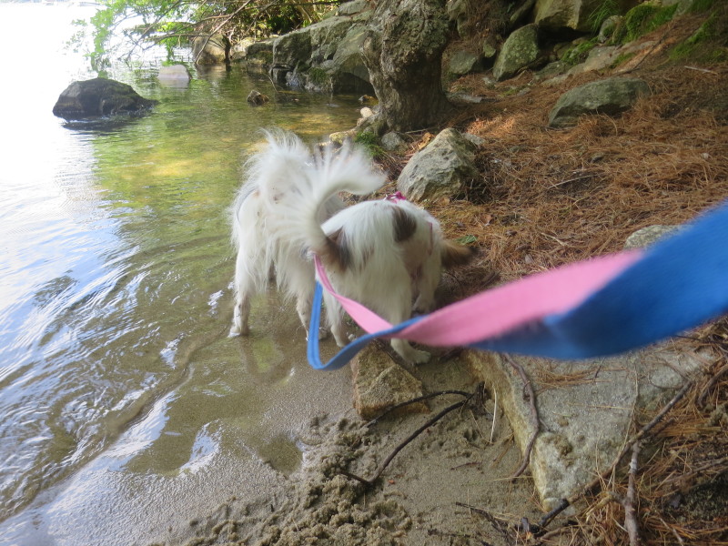 Meanwhile, in Newbury Harbor (my takeout), my wife is waiting with our 2 dogs.
 From here I can see Newbury Harbor marked by that blue restaurant.
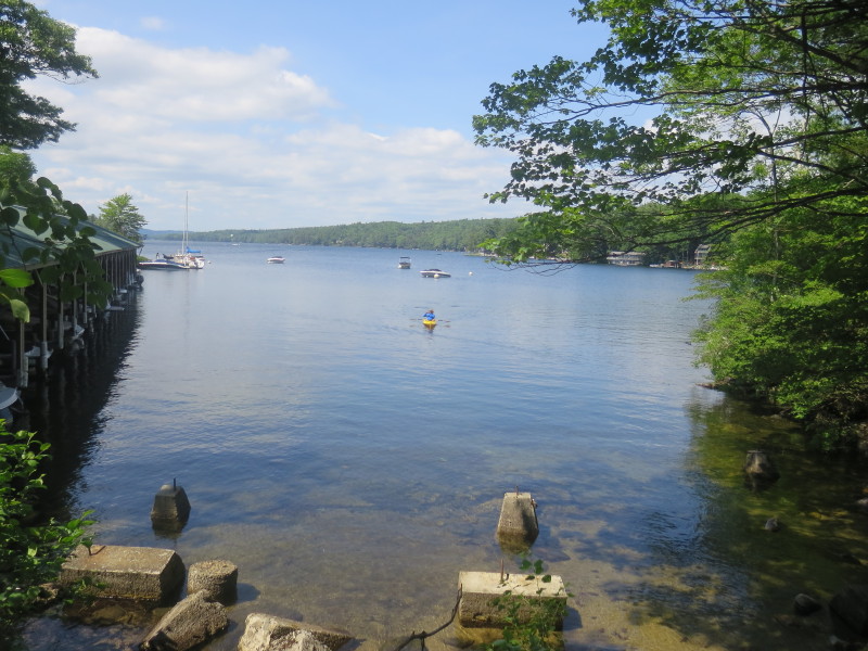
 This picture taken from my wife's camera from Newbury Harbor.
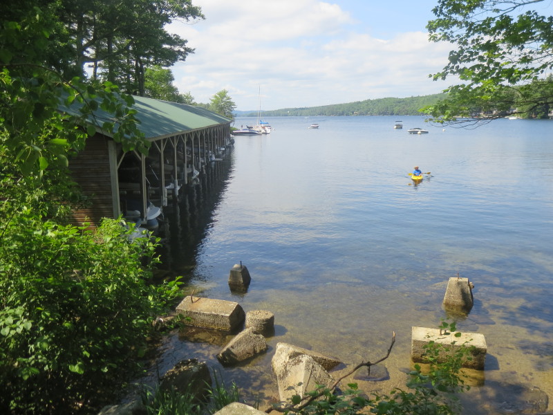
 I am now on final approach to the takeout.
 Landed. Paddle time is 2 hours and 54 minutes.
|