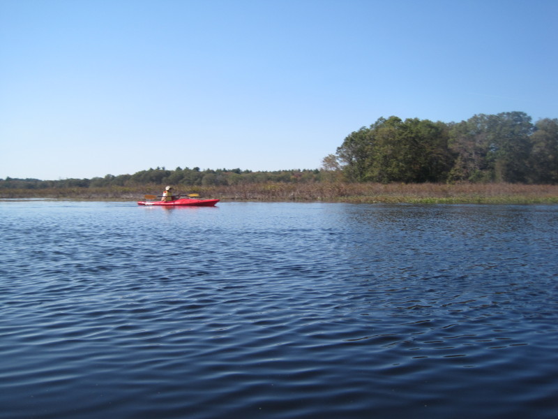
 Kayaker

|


|
Download printer-friendly
PDF version that fits in one page: |

|
|
Other resources:
The Concord, Assabet, & Sudbury Wild & Scenic River Stewardship Council Sudbury River Water Trail Wikipedia: Sudbury River Paddling.net: Sudbury River Kayak Trip Report All photos in this website are original and copyrighted.  Trip date: October 2011.
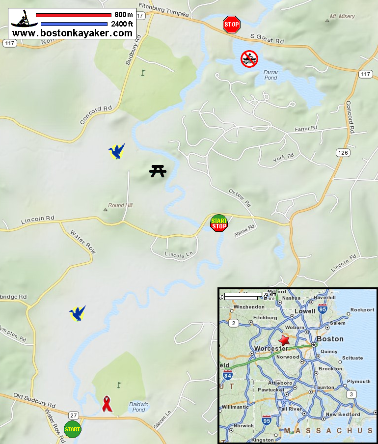
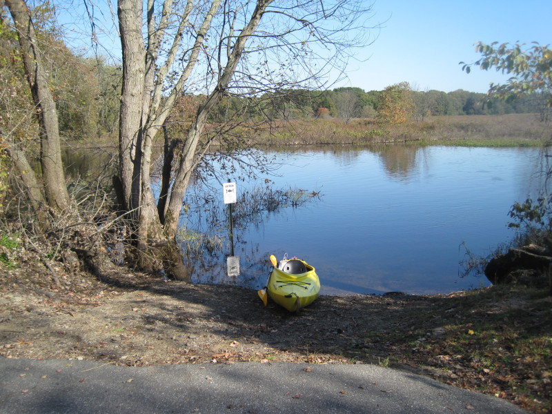
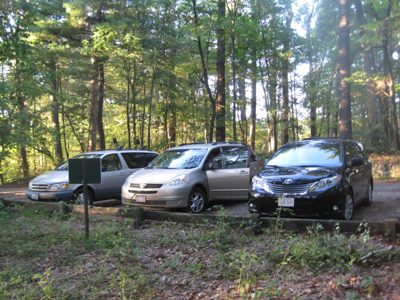
The plan for this trip is to start at Route 117 river access (designated take out spot in the map), paddle down (upriver) to Route 20 bridge (designated put in) and return. That will be an 8-mile round trip. Picture above is the entrance to the river access launch site east of the Route 117 bridge. 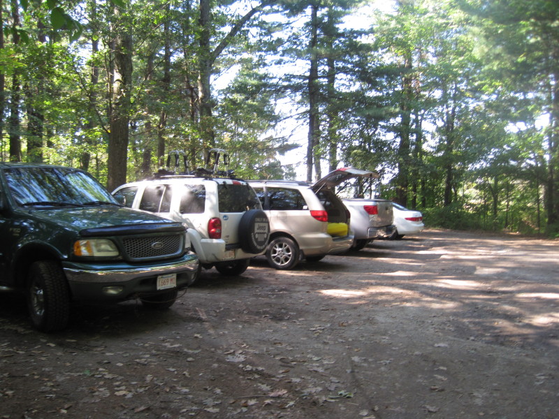 This river launch site has parking space for 6+ cars.
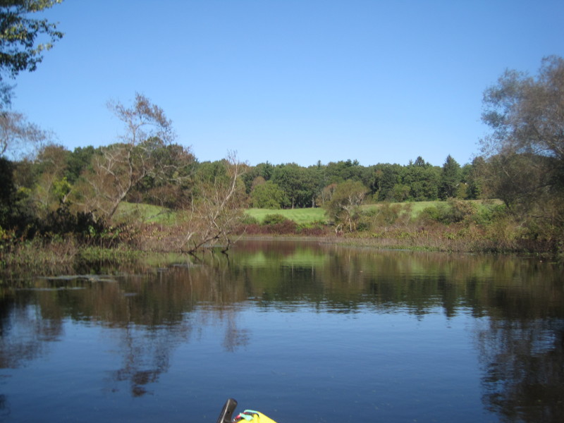
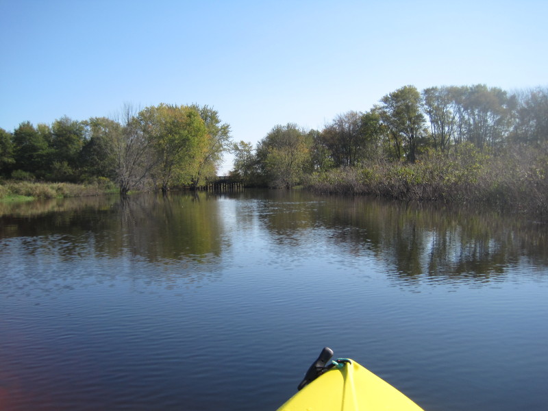
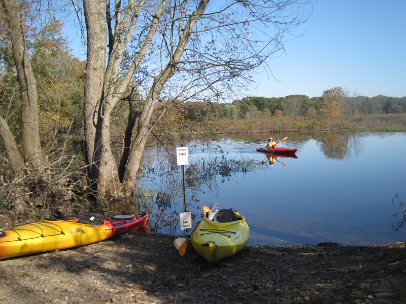
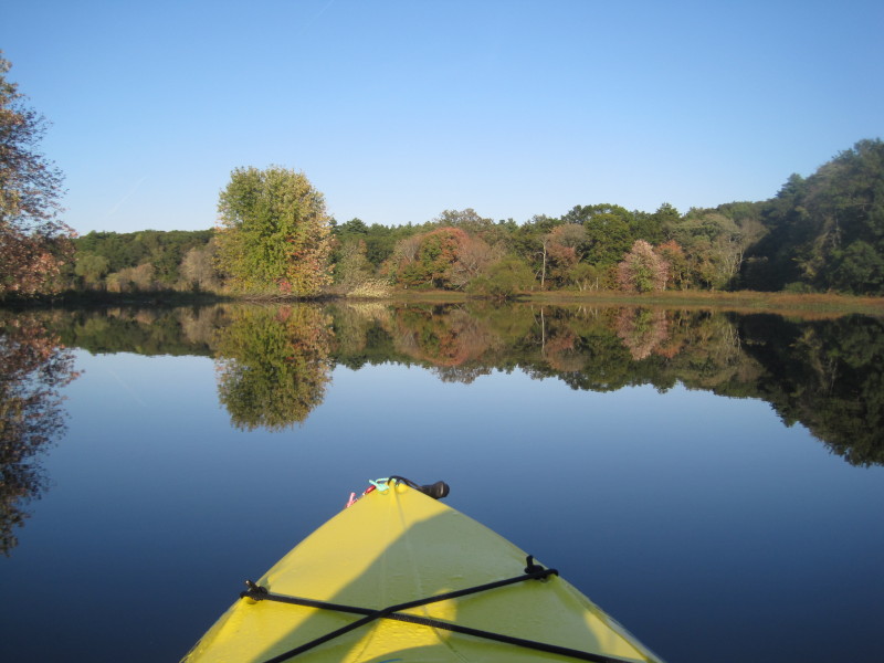
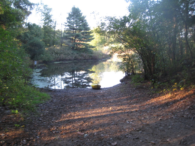
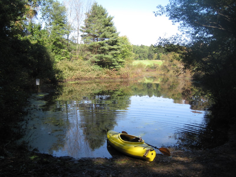 The small cove off the Sudbury River at the Route 117 bridge launch site.
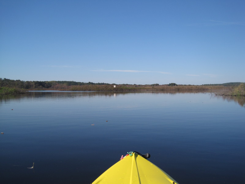
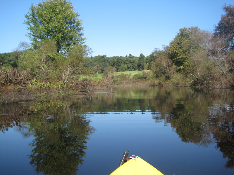 Just launched.
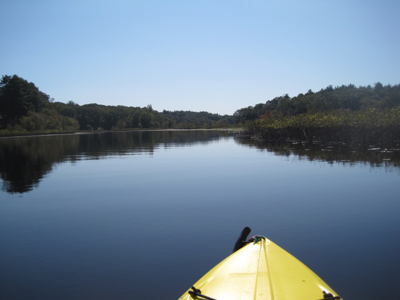
 Getting out of the cove, I turned left to paddle against the current.
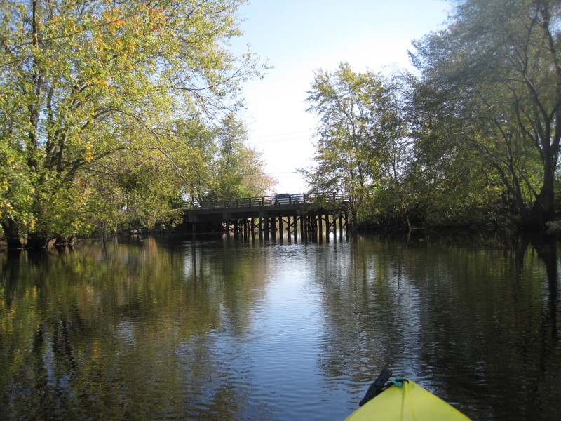
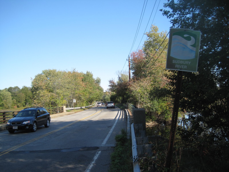
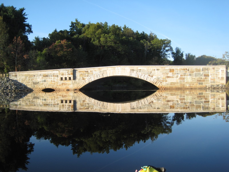
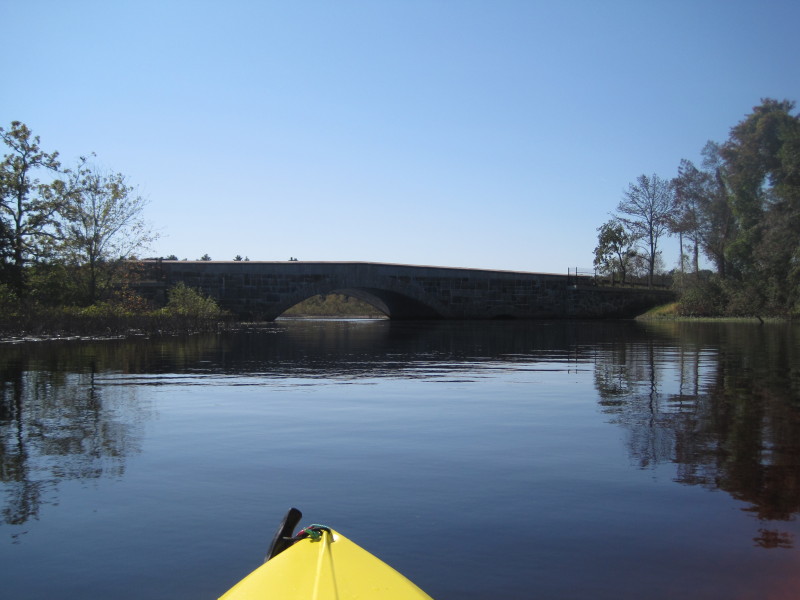 The Route 117 bridge is just around the bend.
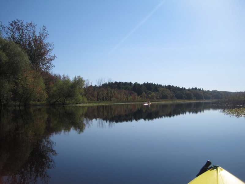
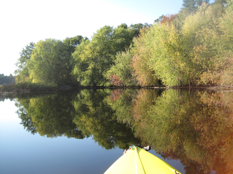
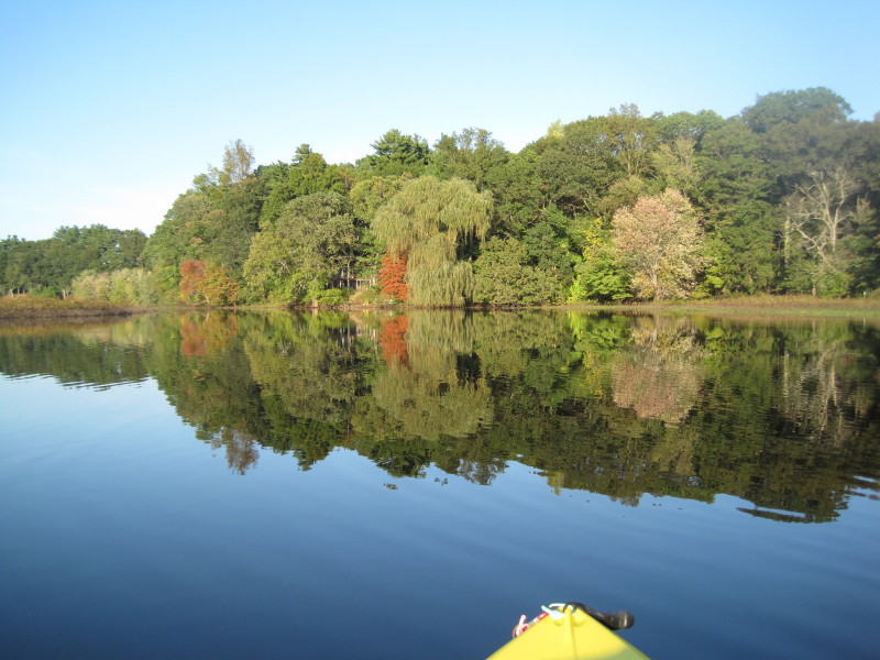
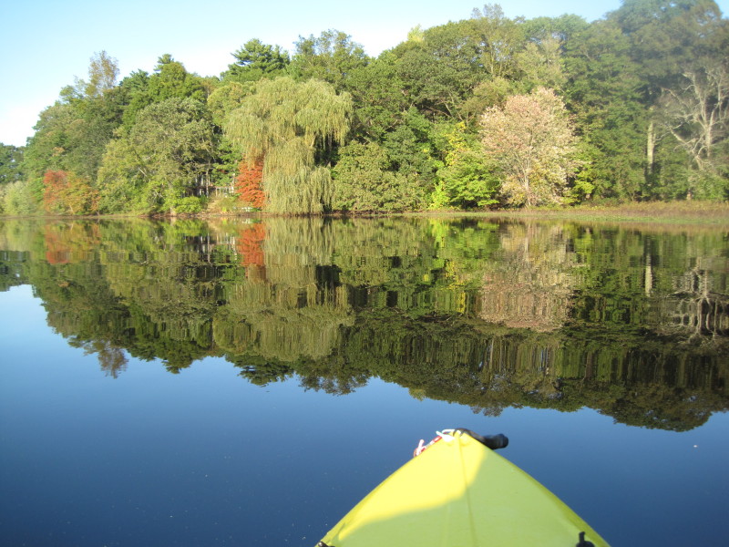
 Lincoln MA on the left (west bank), Concord MA on the right (east bank).
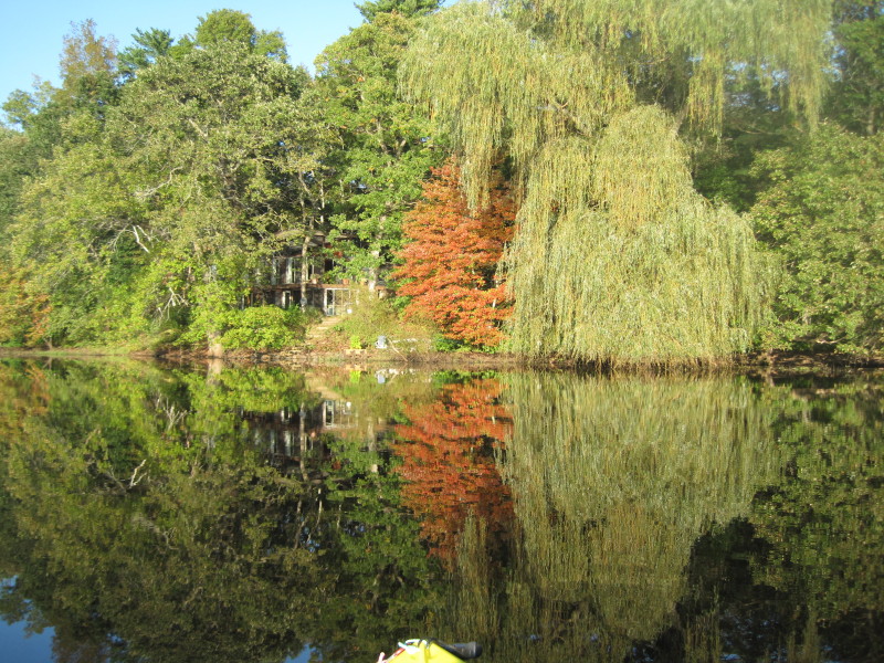
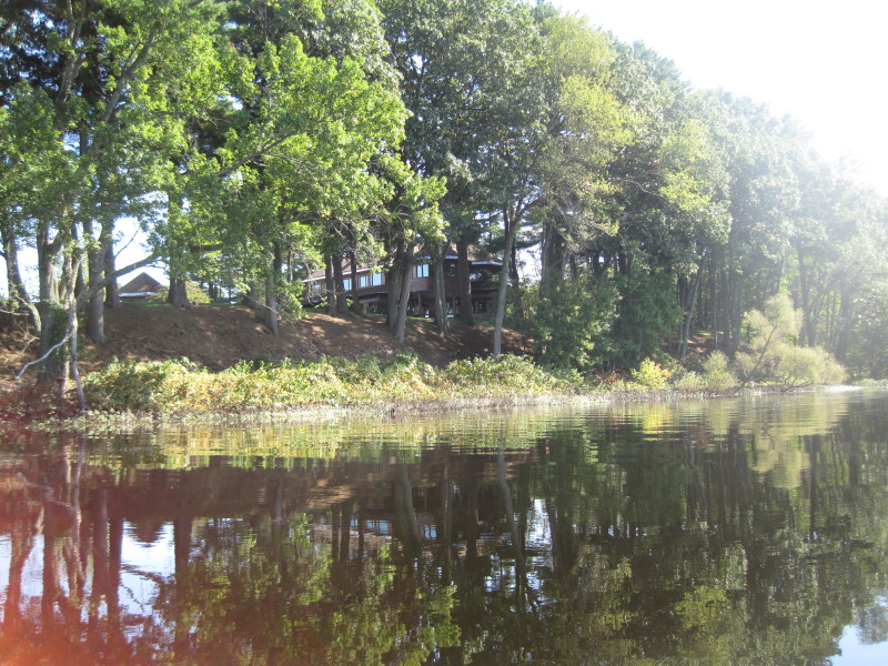 A nice river-front residence on the Lincoln side.
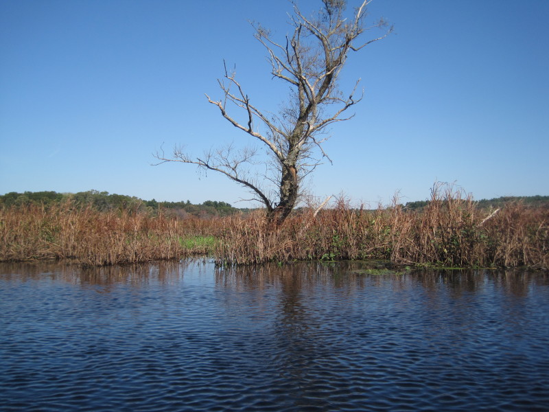
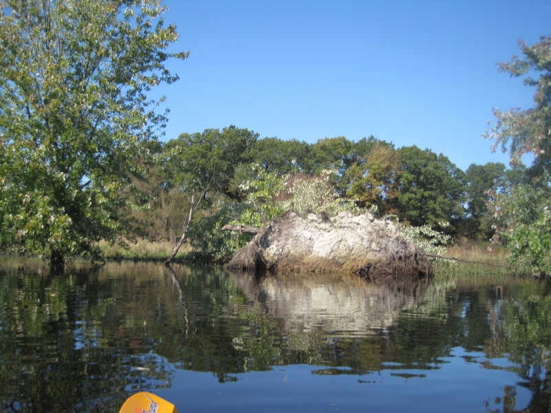 Uprooted tree.
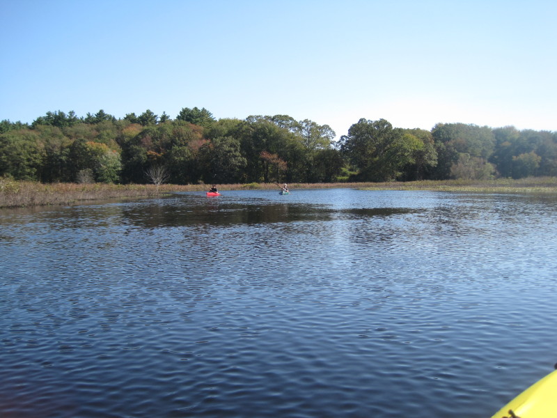
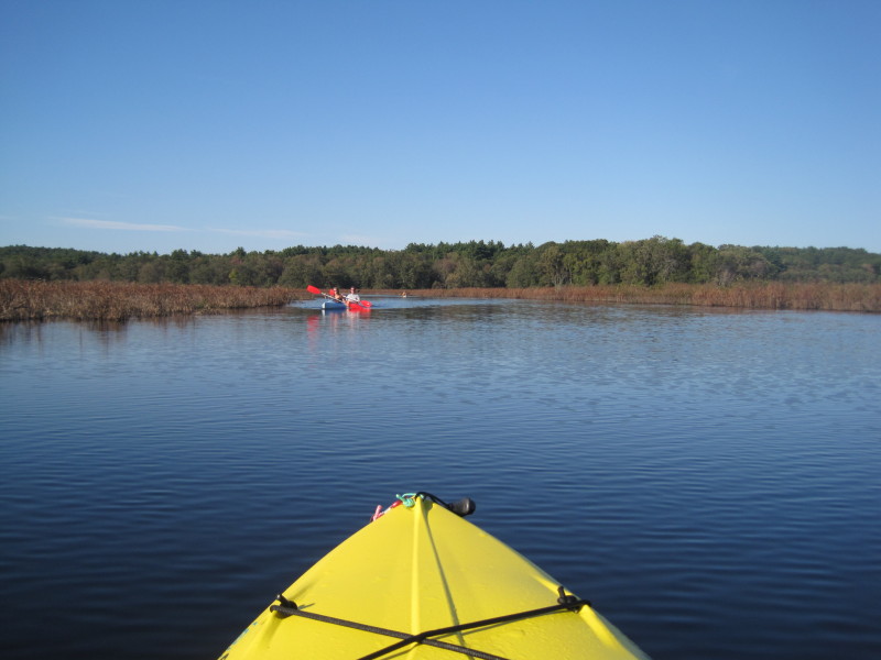
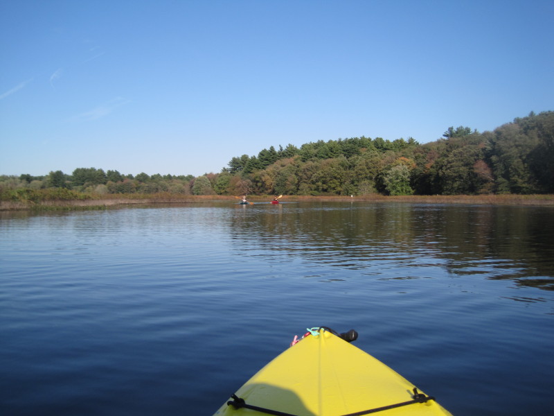
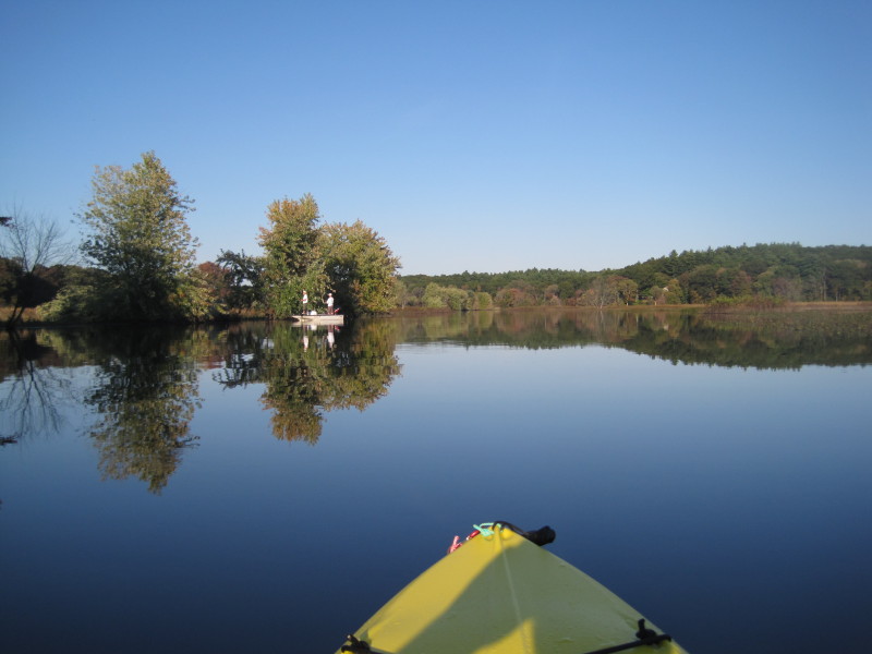
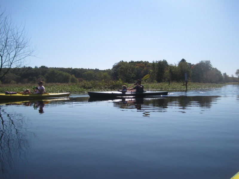 A family in 2 kayaks enjoying the river.
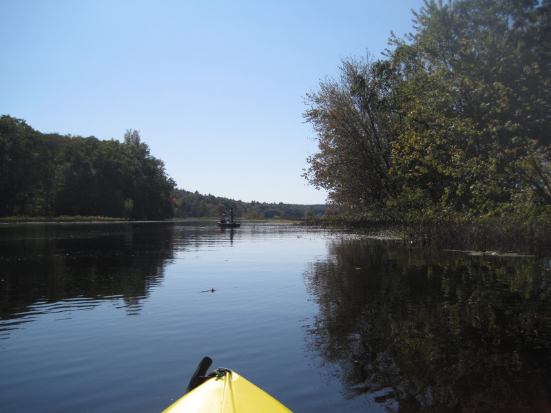
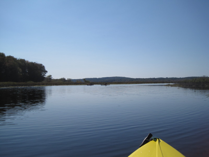
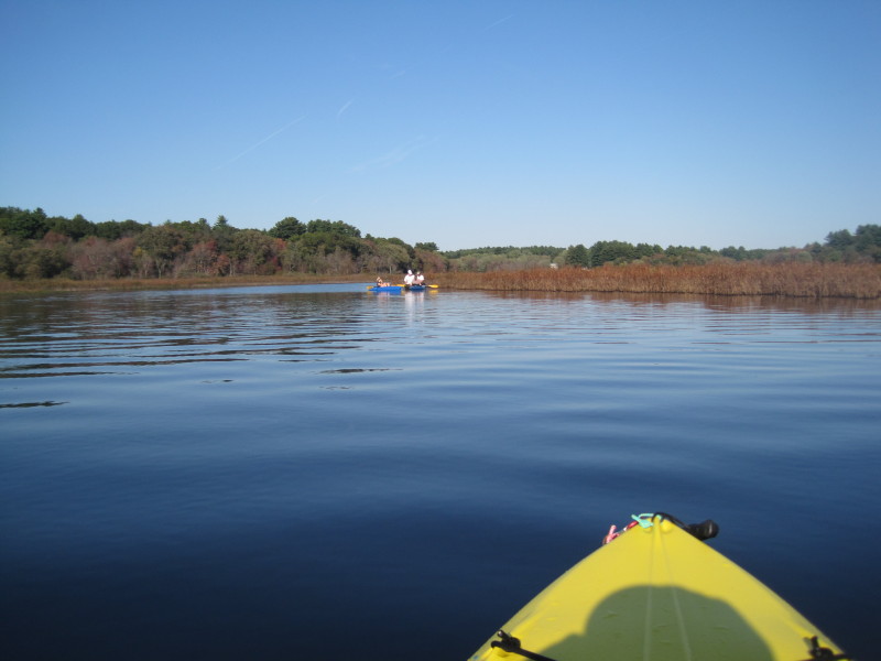
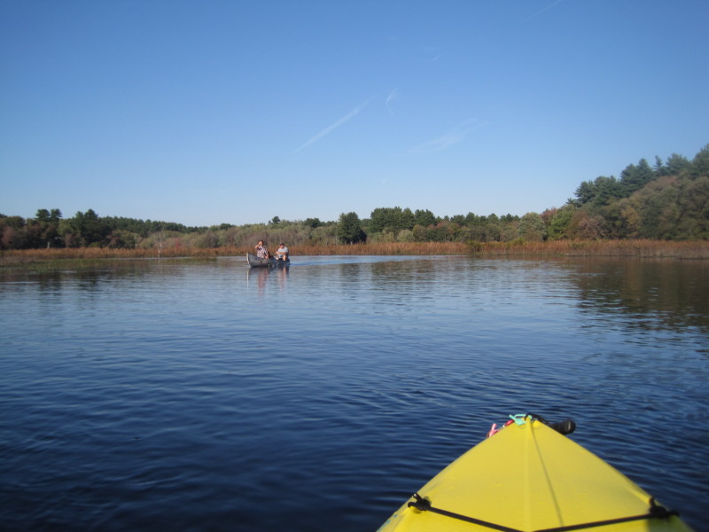
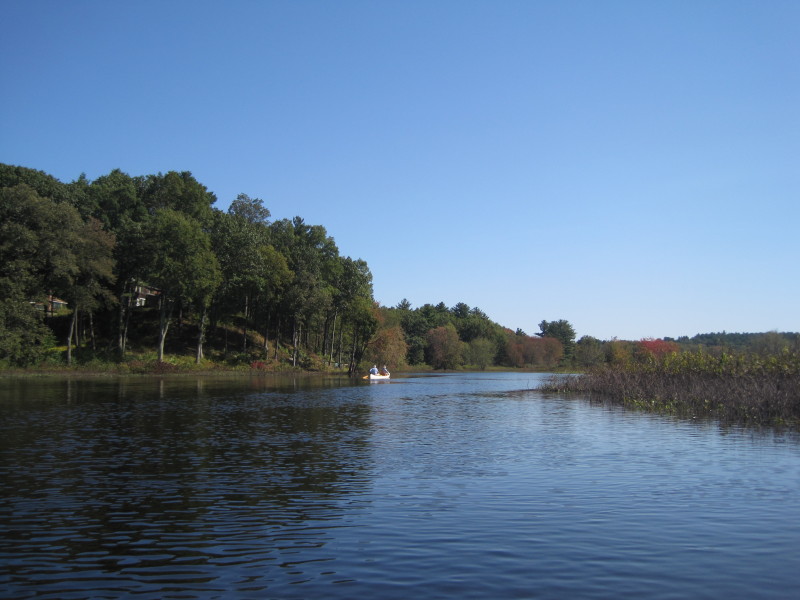 A couple canoeing in front of me . . ,
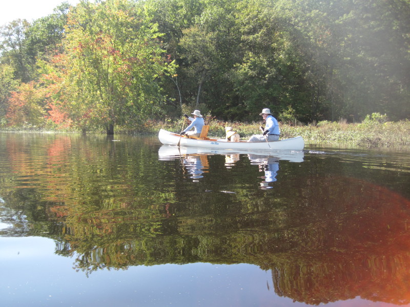 I paddled past this couple.
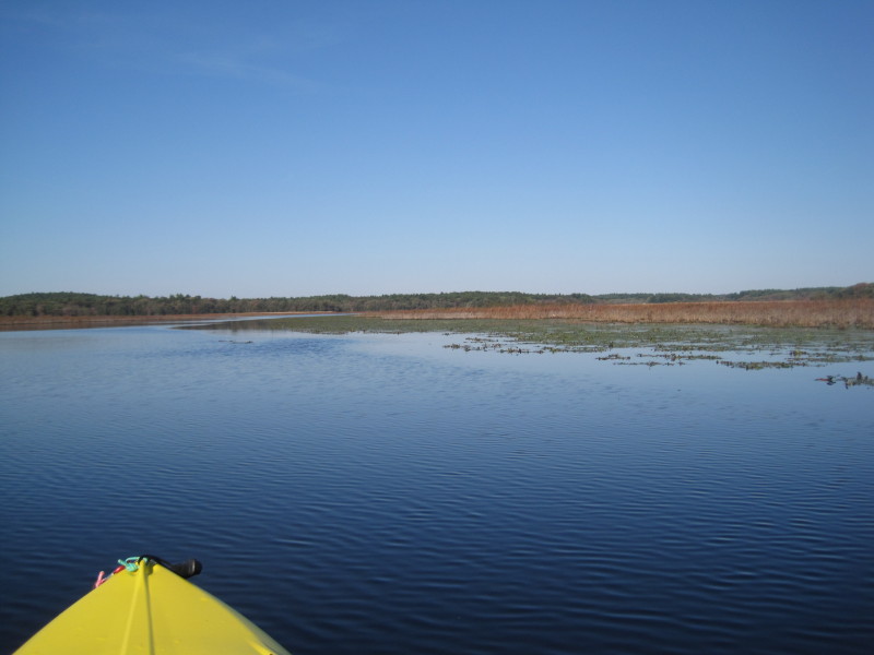
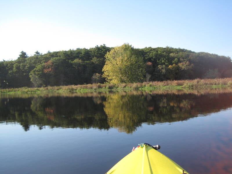
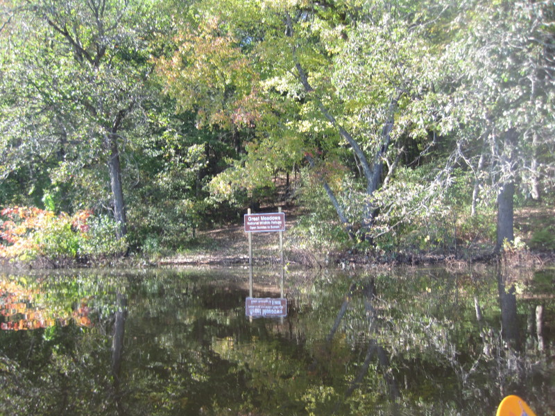 The rest area on the Great Meadows refuge.
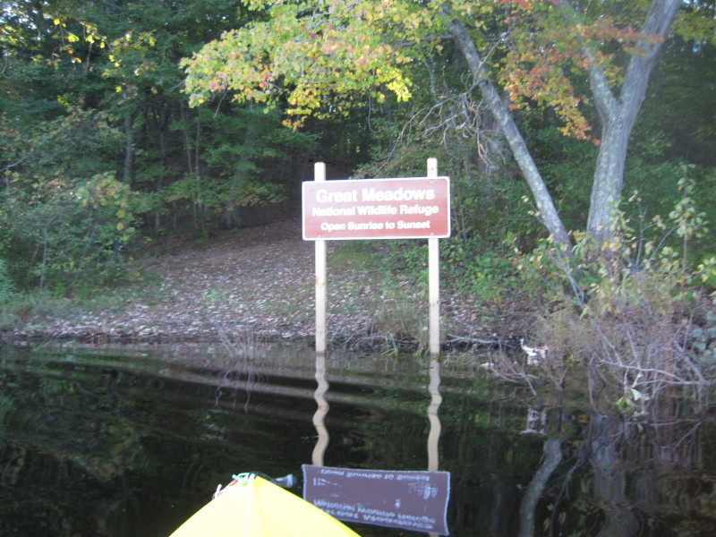
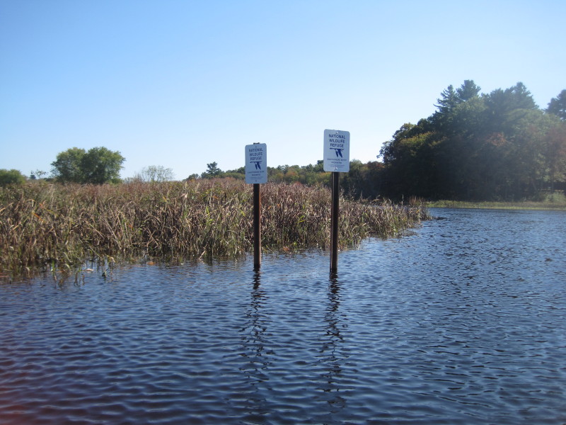 NWR signs saying prohibited entry.
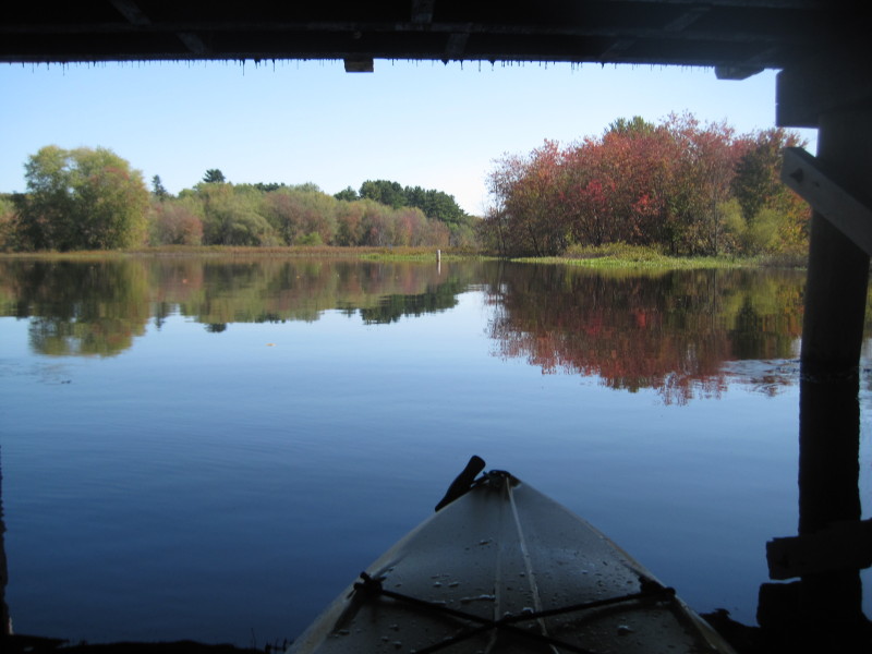
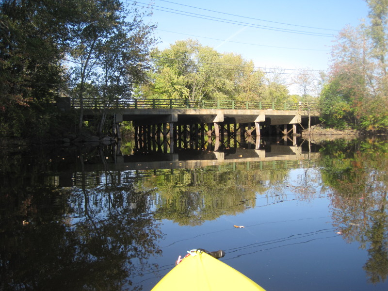
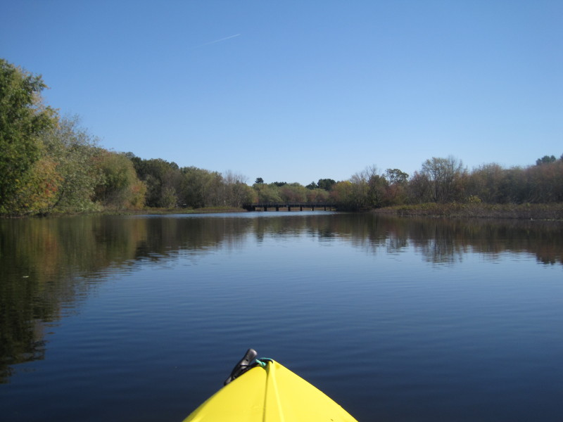 The Lincoln Road bridge (aka Sherman Bridge).
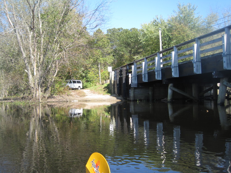 This bridge has river access on the west side.
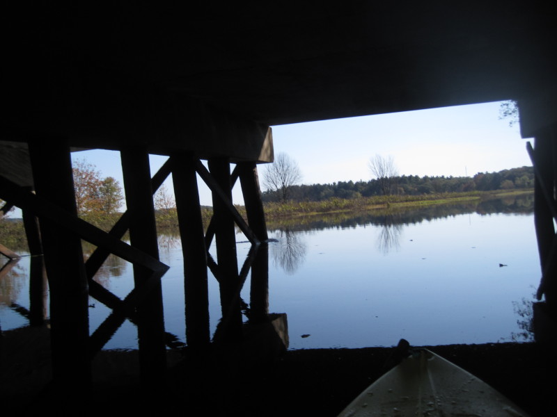
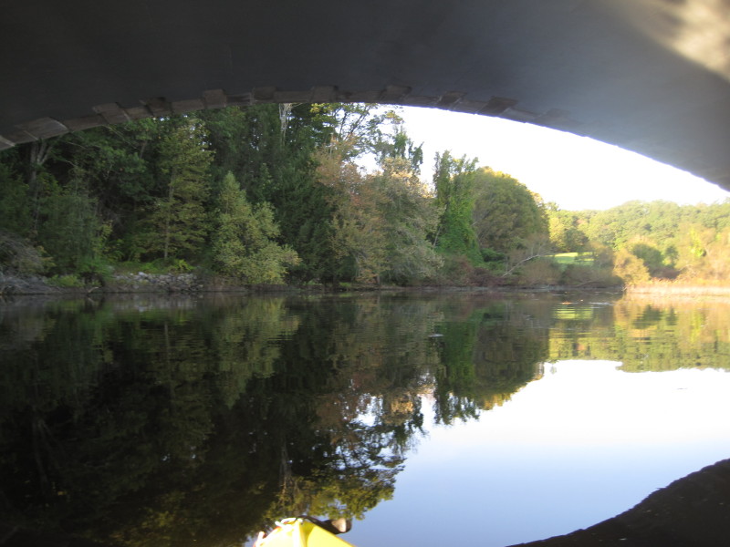
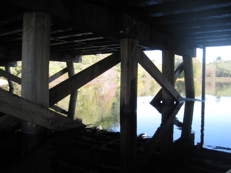 Under the Sherman Bridge, cars make a lot of noise on the bridge . . .
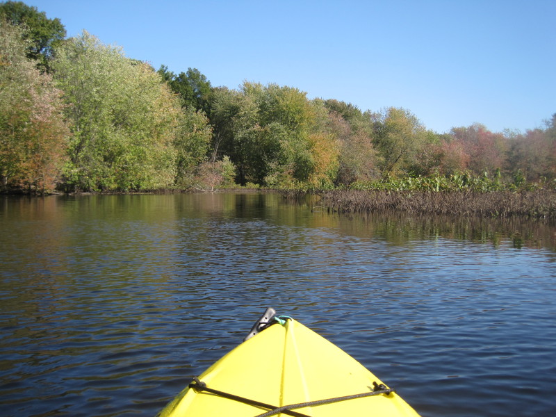
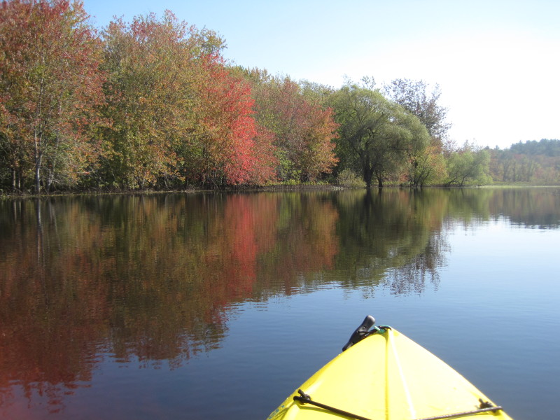
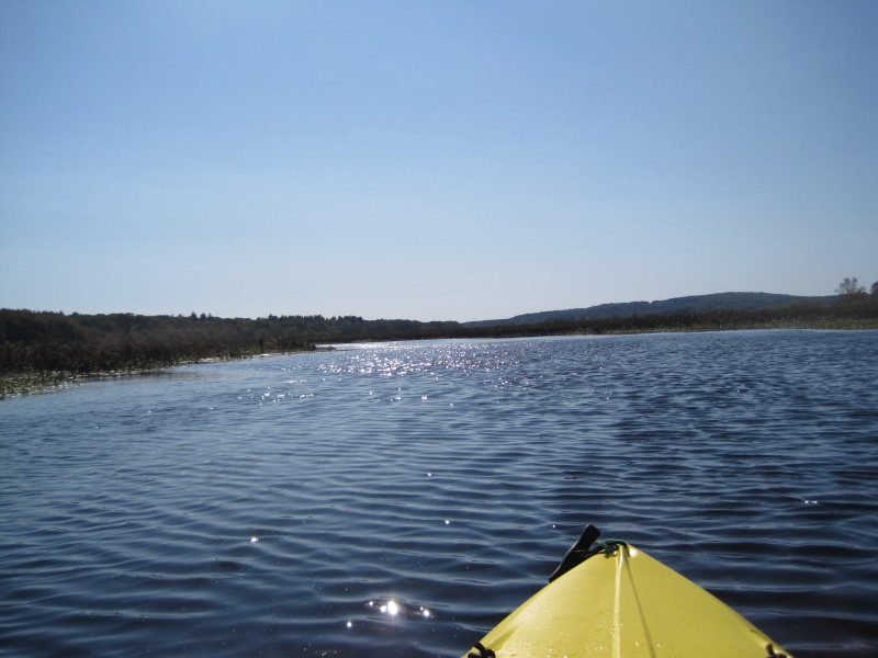
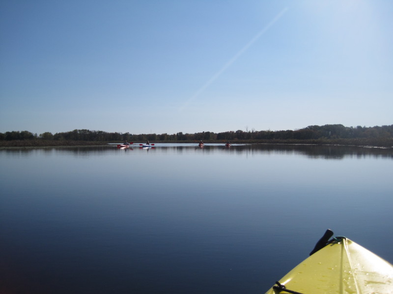
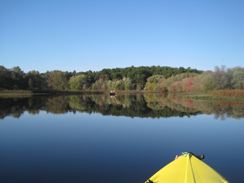
 Today's pleasant weather (80's in October) brought a lot of kayakers to the river.

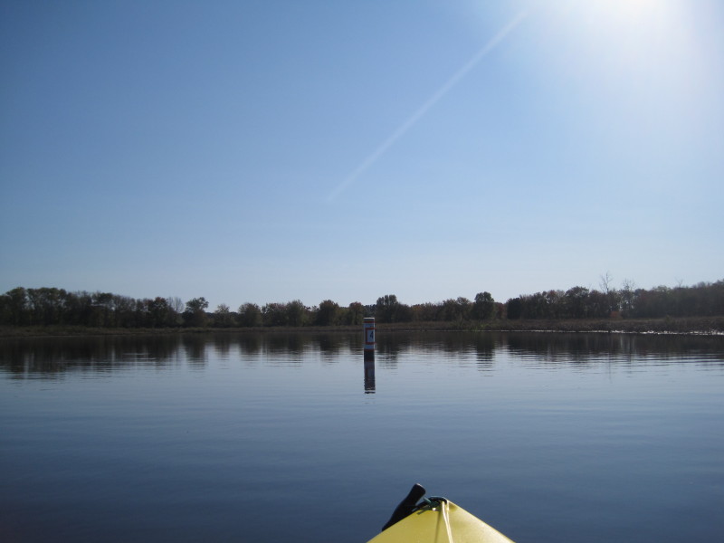 Buoy # 4 owned by the Fisheries and Wildlife Services.
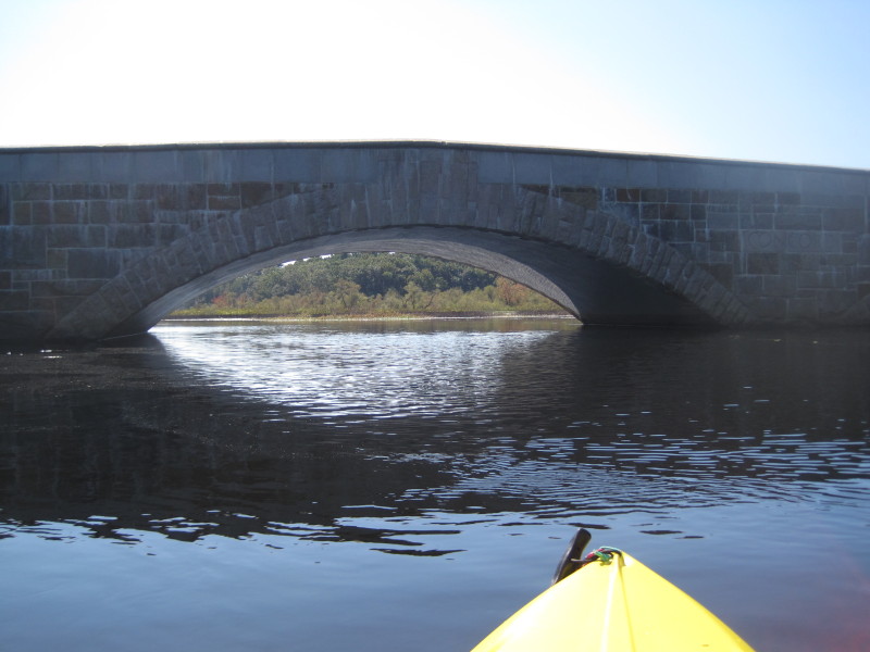
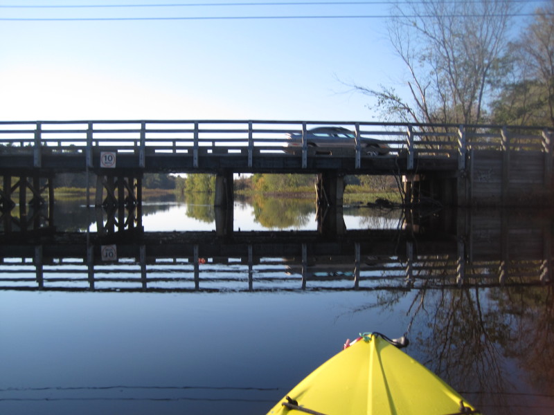
 The Route 20 bridge.
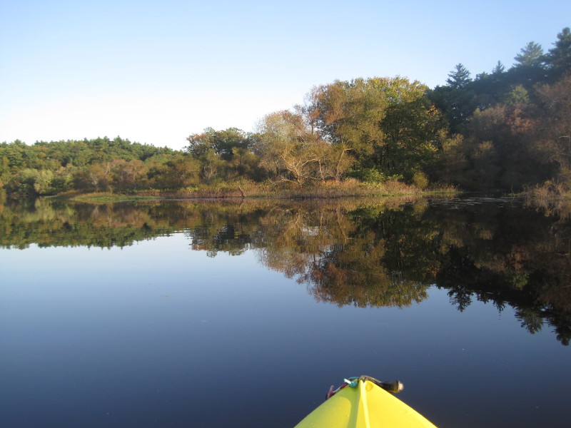
 Just before the bridge, to my left is the oxbow pond.
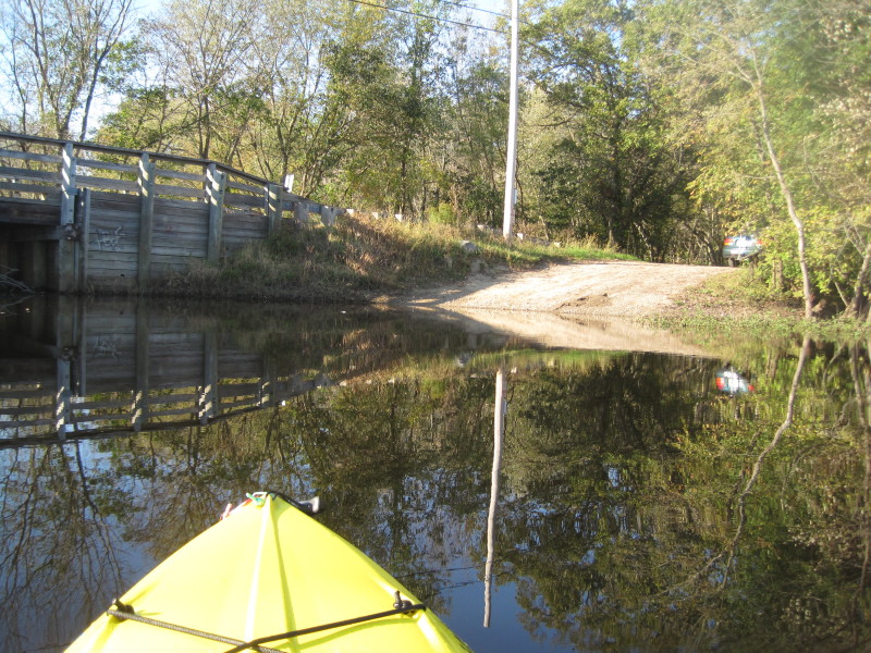
 Just past the Route 20 bridge, on the right (west bank), is the river access on River Road (designated put in spot in the map above).
 Stretched my legs and walked to the Route 20 bridge . . .
 A couple is just finishing their trip.
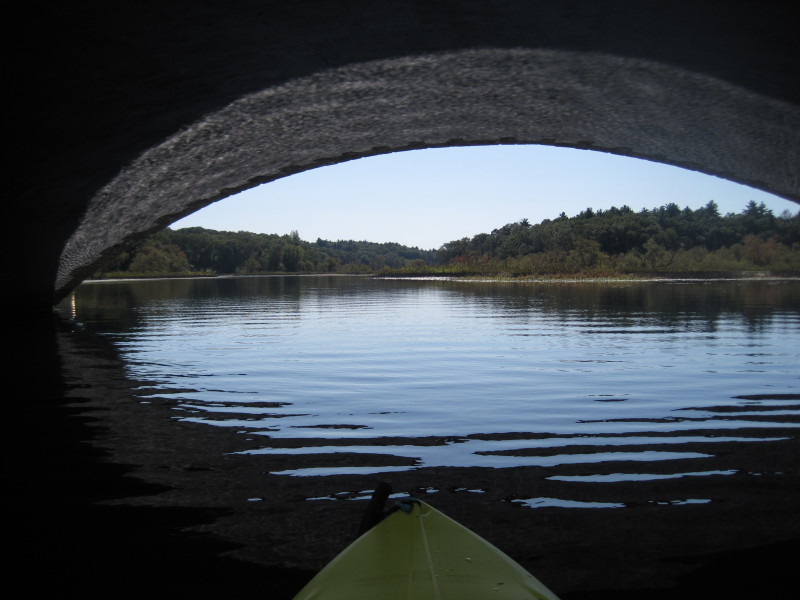
 Starting my return journey northward upriver. The Route 20 bridge from the south side.
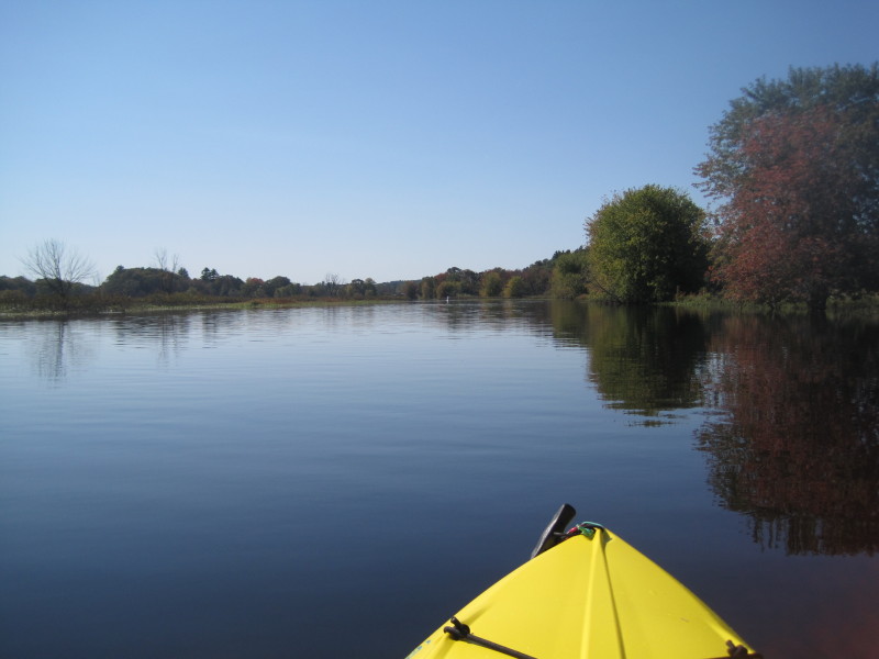
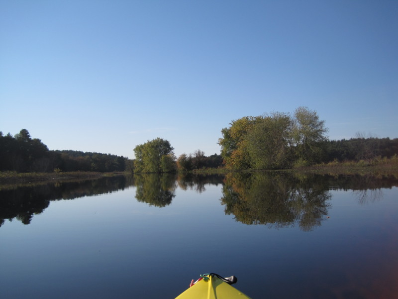
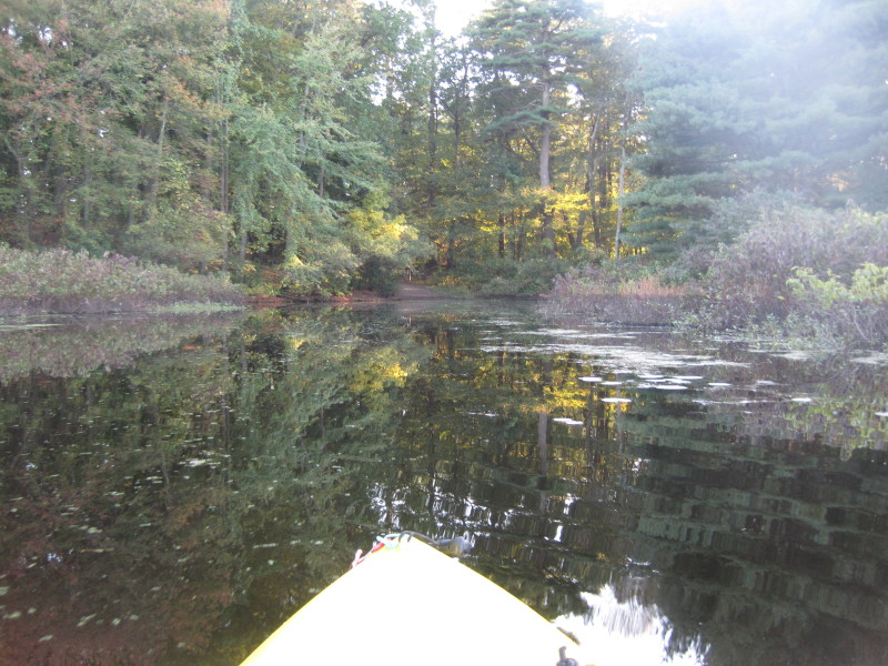
 Just north of the Route 20 bridge, the river forks. To the right is the oxbow pond loop. Stay left for the main flow of the river.

 The Sherman Bridge again.
 The ramp on Sherman bridge.
 A bench is waiting for tired kayakers . . .
 Nearing my end destination, the Route 117 bridge.
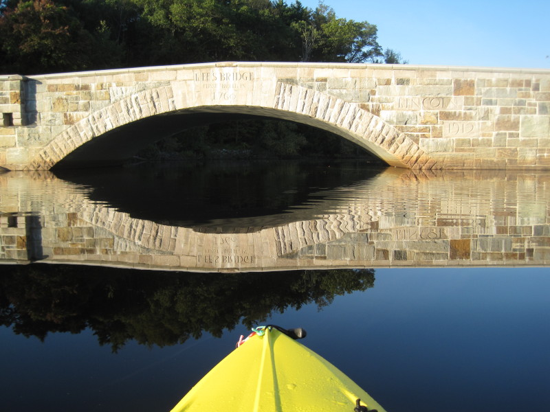 Inscribed on the bridge: "Lee's Bridge"
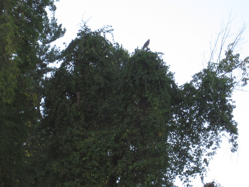 Just north of the bridge is this resident bird that has been circling overhead during my launch.
 From the Sudbury River, a small cove to the right will take me to where I started.
 Took me four and a half hours to do the round trip including a 20-minute break at the Route 20 launch.
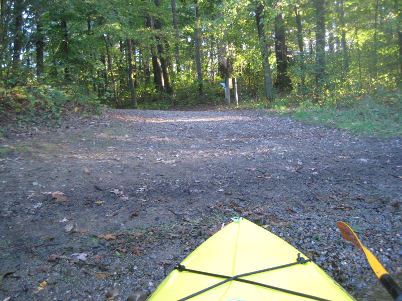
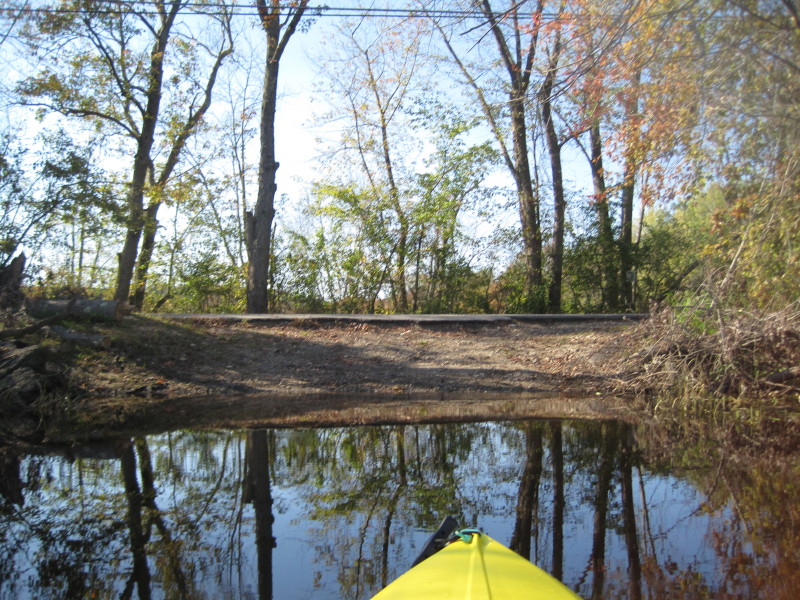
 This parking area is easy to miss from Route 117.
|