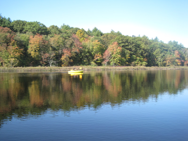
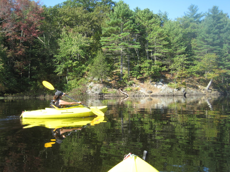
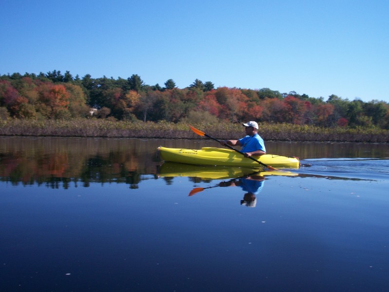
 Kayaker

|


|
Download printer-friendly
PDF version that fits in one page: |

|
|
Other resources:
The Concord, Assabet, & Sudbury Wild & Scenic River Stewardship Council Sudbury River Water Trail South Bridge Boat House canoe/kayak rentals US National Parks Service: Minute Man National Historic Park Paddling.net: Sudbury River Trip Report Wikipedia: Sudbury River All photos in this website are original and copyrighted. 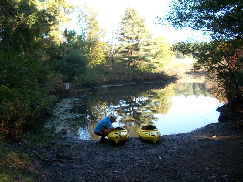 Trip date: October 2011
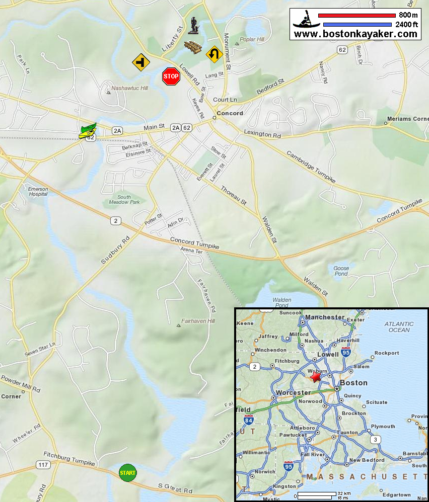
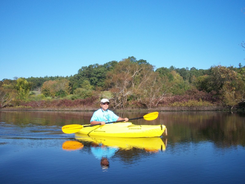
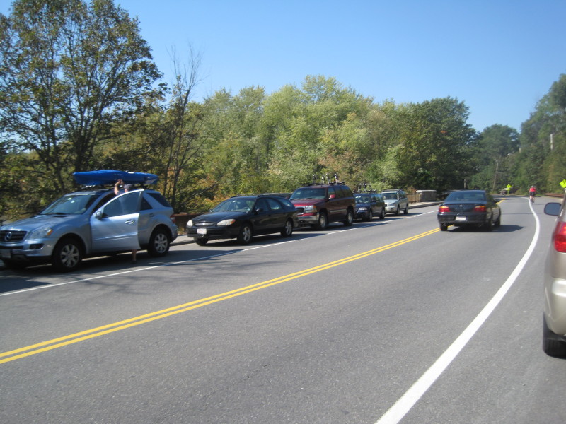
The trip plan is to follow the put in / take out in the map above. Getting ready at the Route 117 river access. 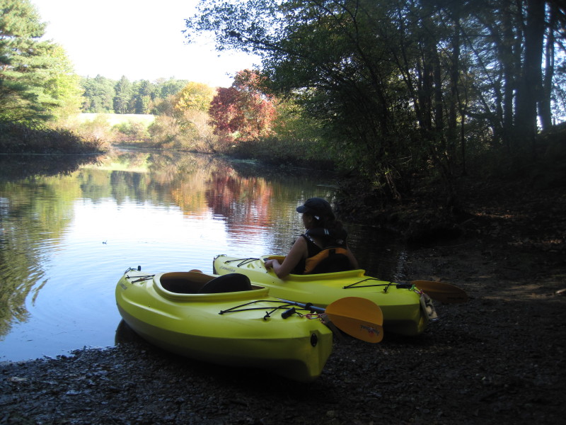
 Just launched.
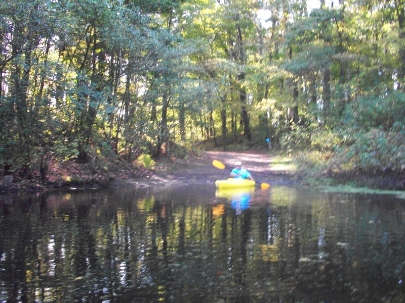
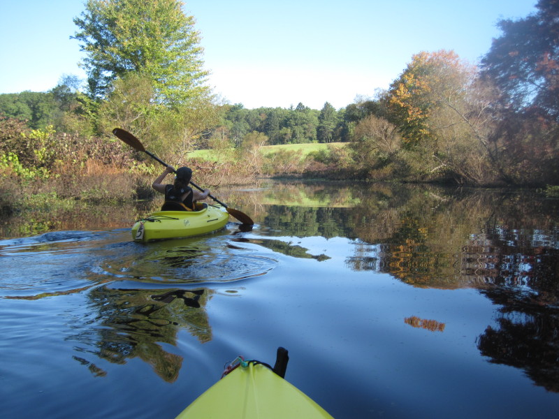
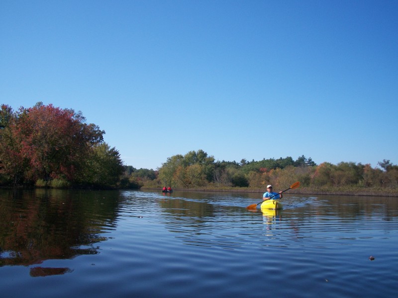
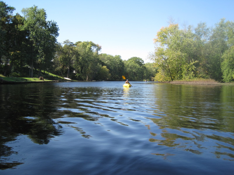
 Out of the launch cove, we turned right and follow the river flow.
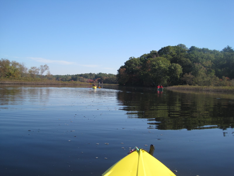
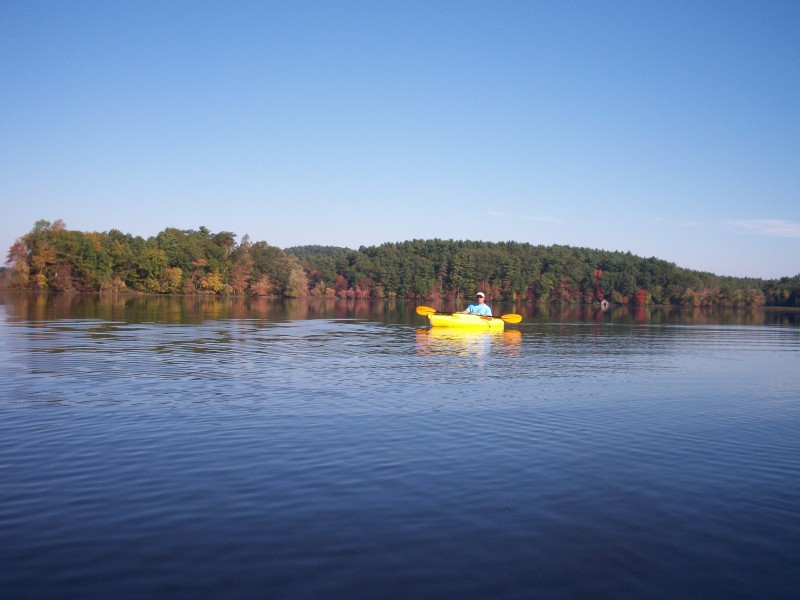
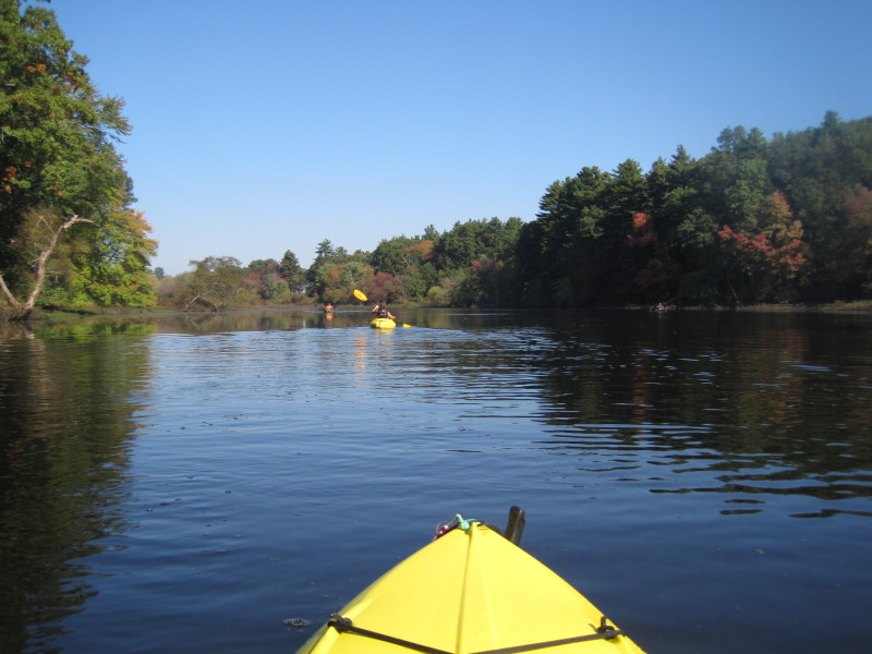
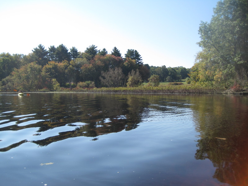
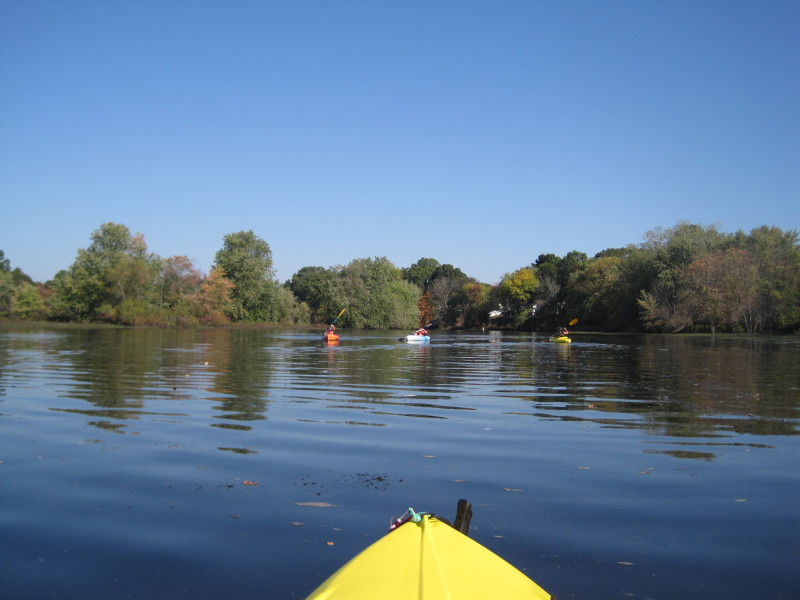
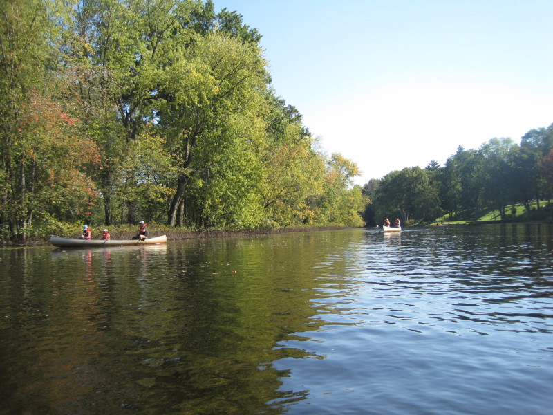
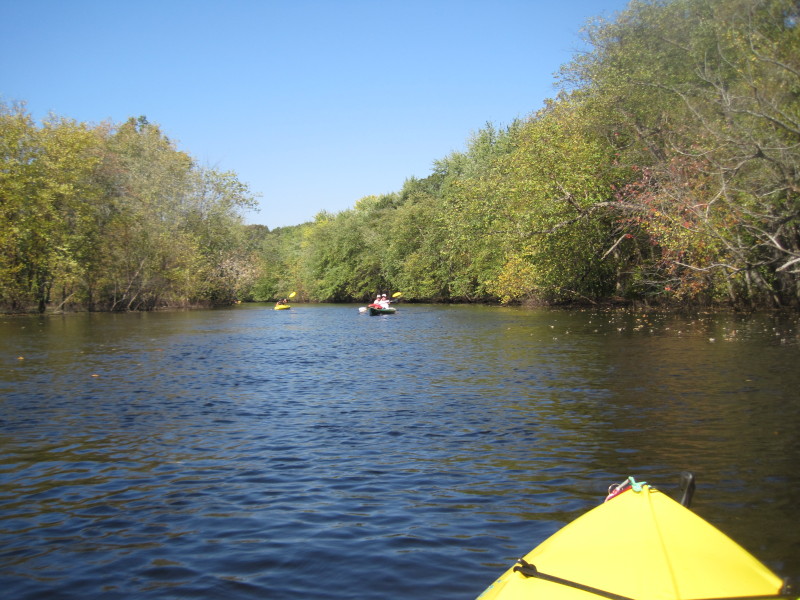
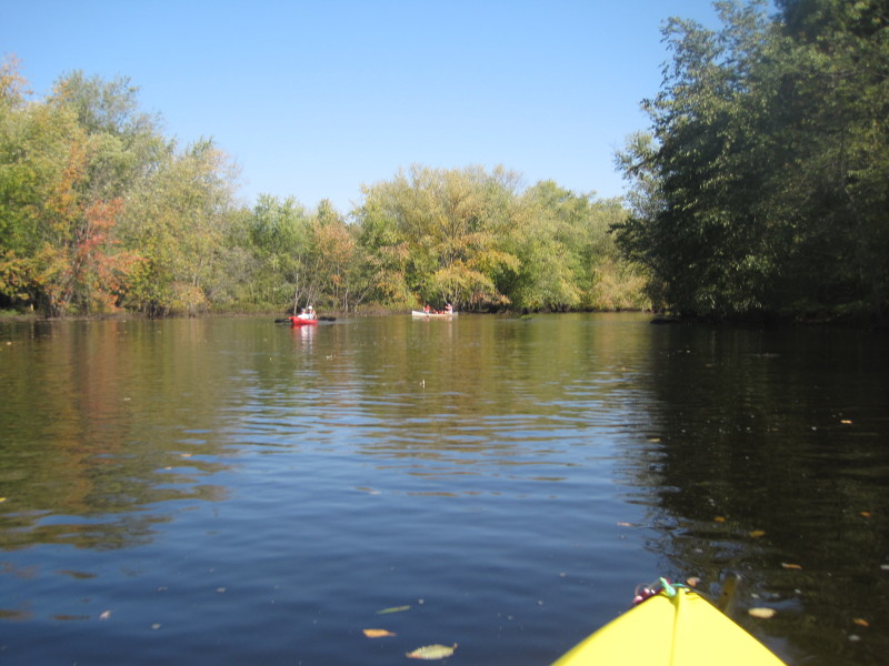
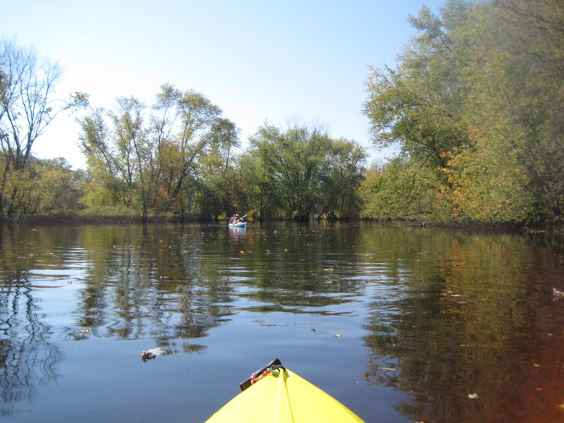
 After 10 minutes of paddling or so, we enter a pond-like part of the river.
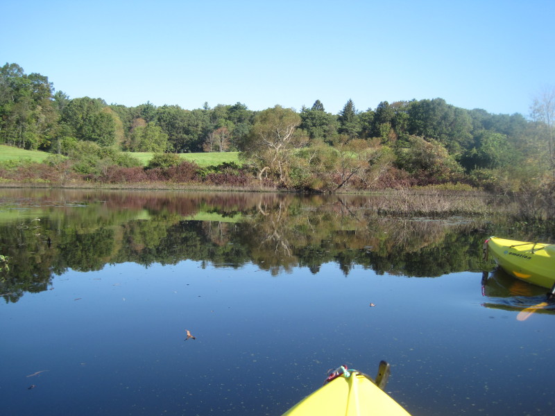
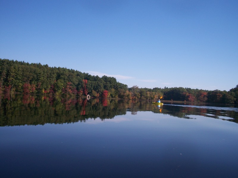
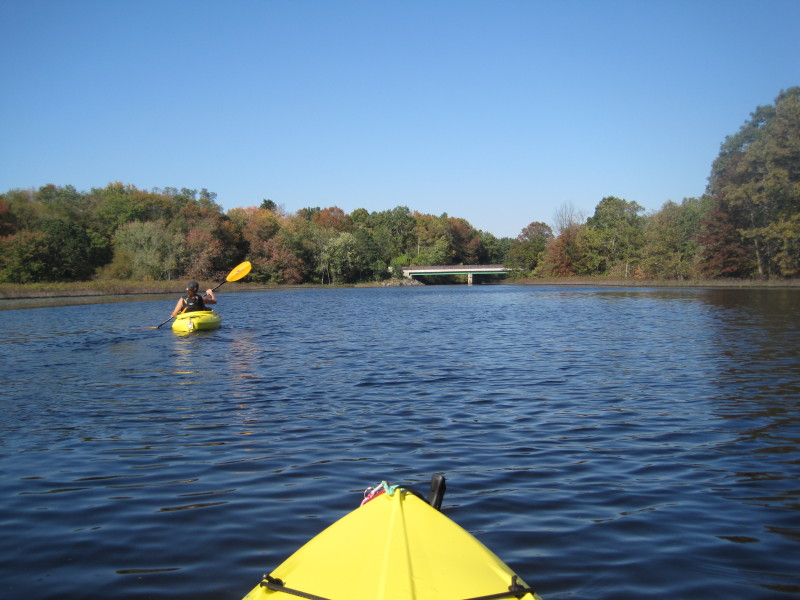
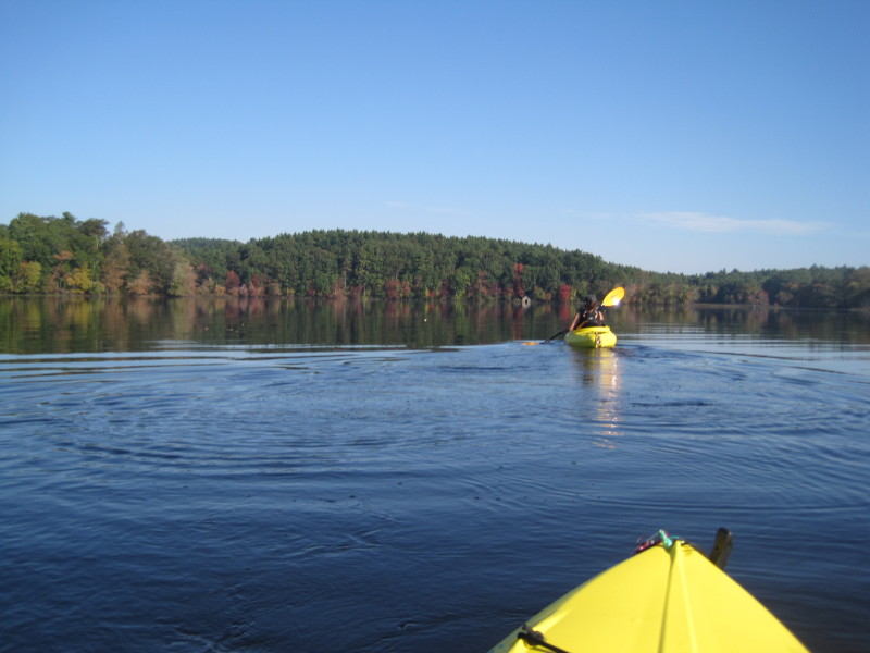 The river flows to an outlet at around the 10 o'clock direction.
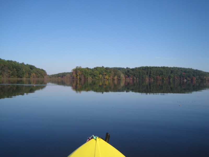
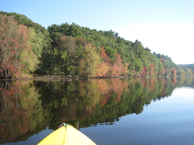
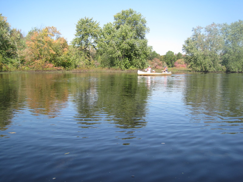
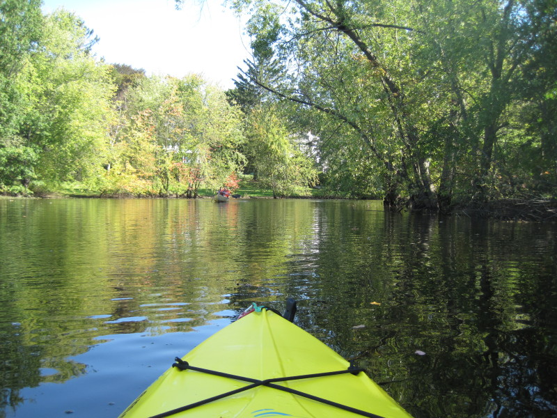
 Autumn foliage is just starting . . .
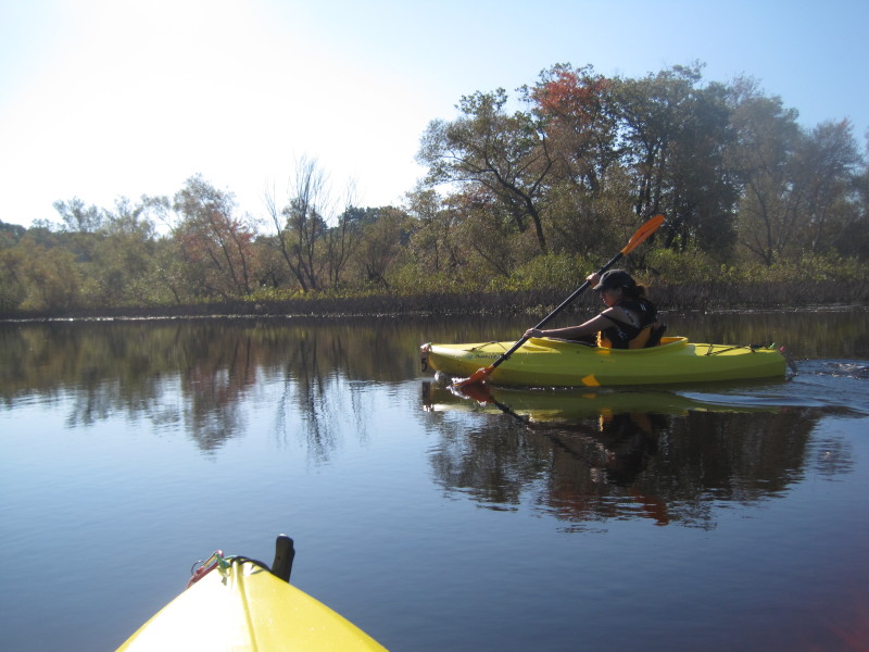
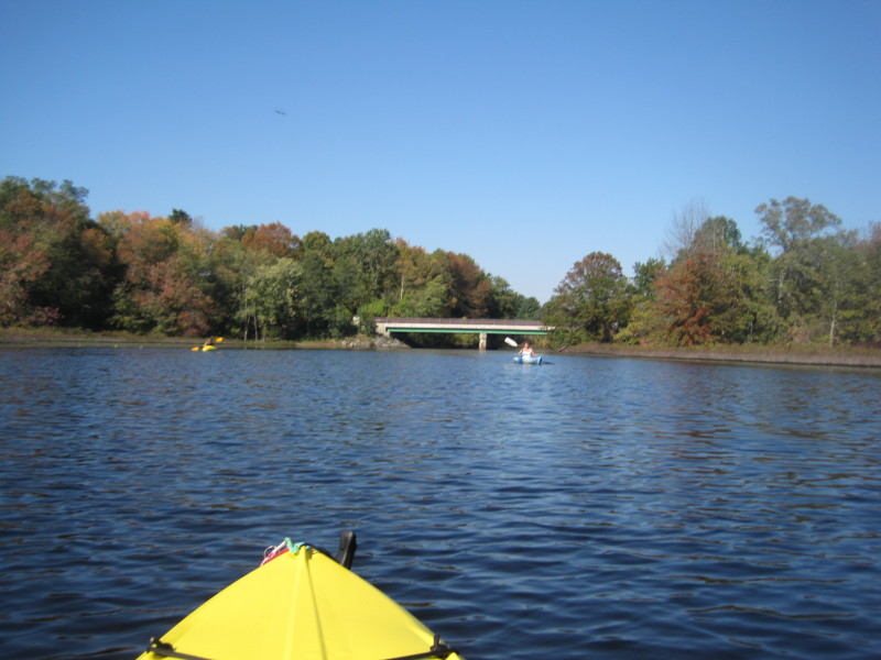
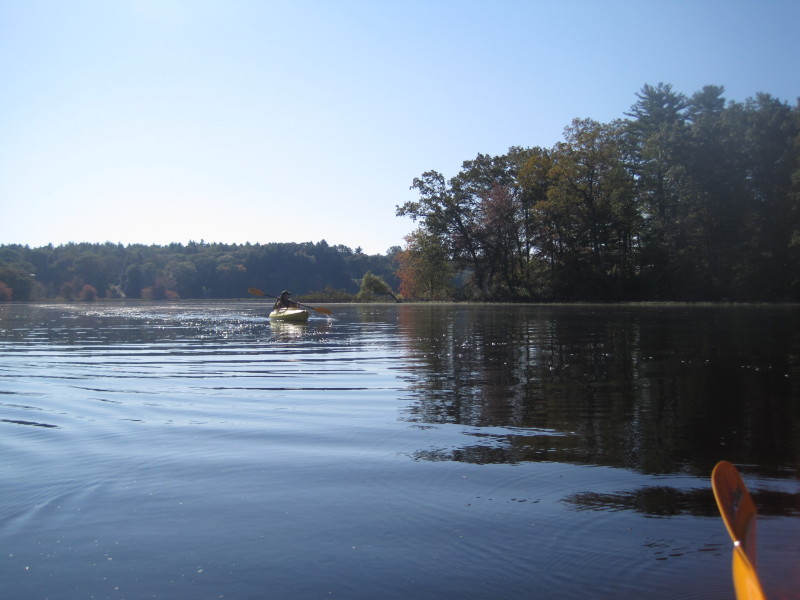 Found the river outlet.
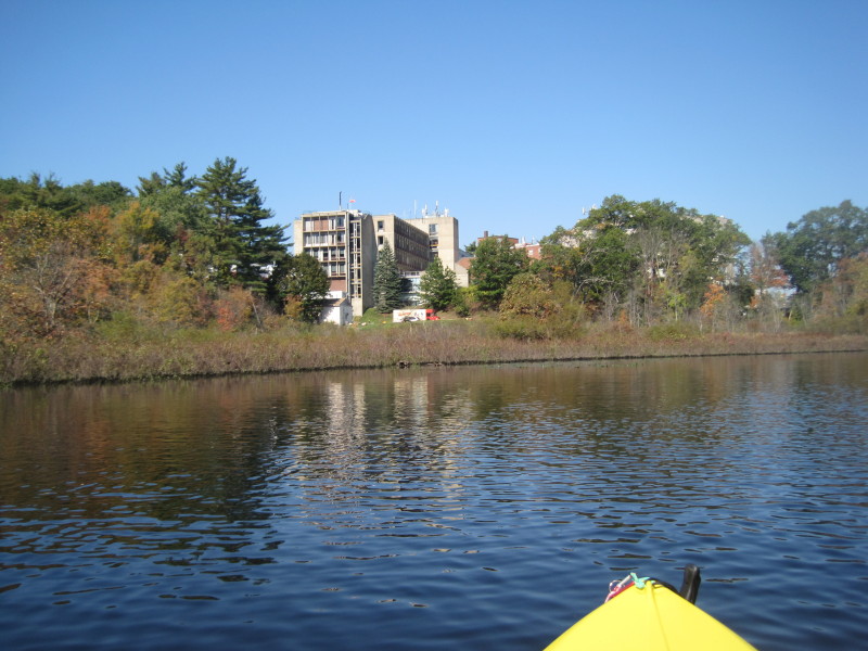
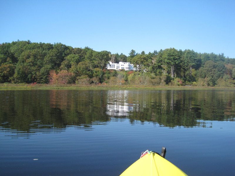 A palatial river-front house.
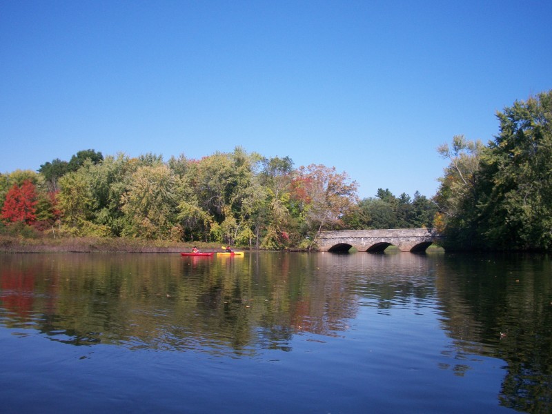
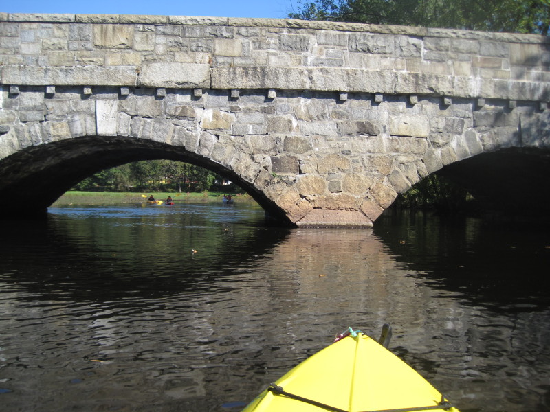
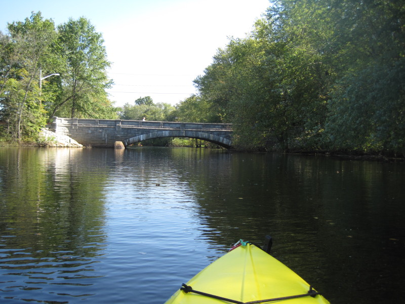
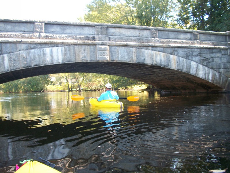
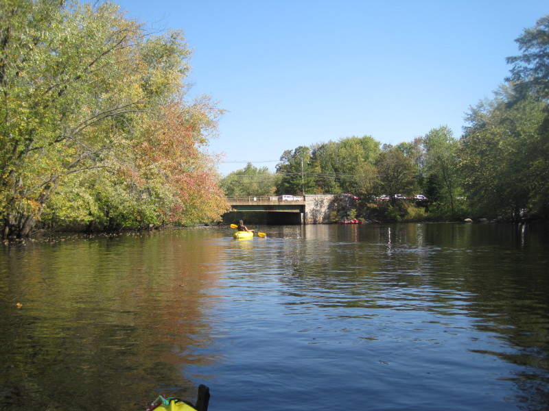
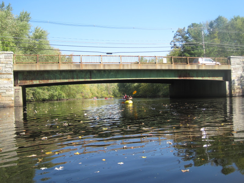
 Sudbury Road bridge.
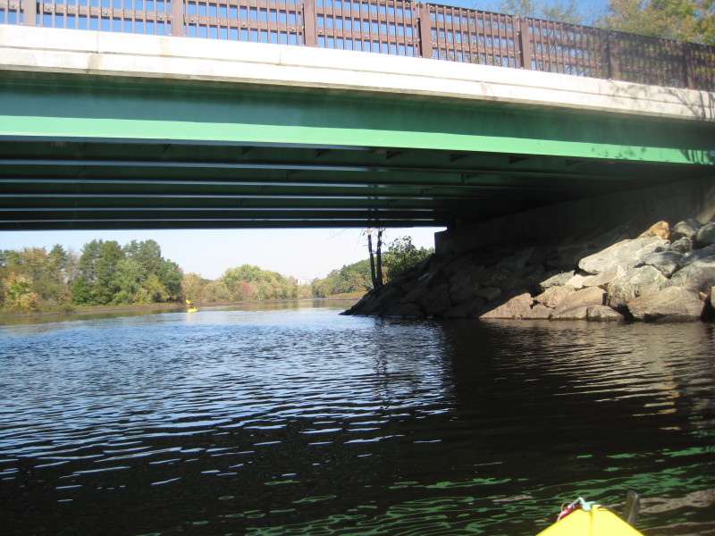
 Route 2 bridge.
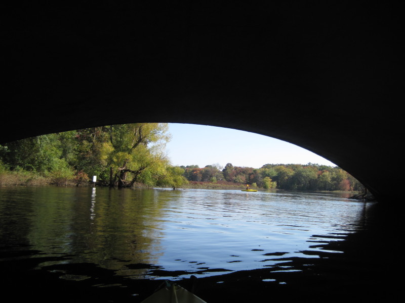
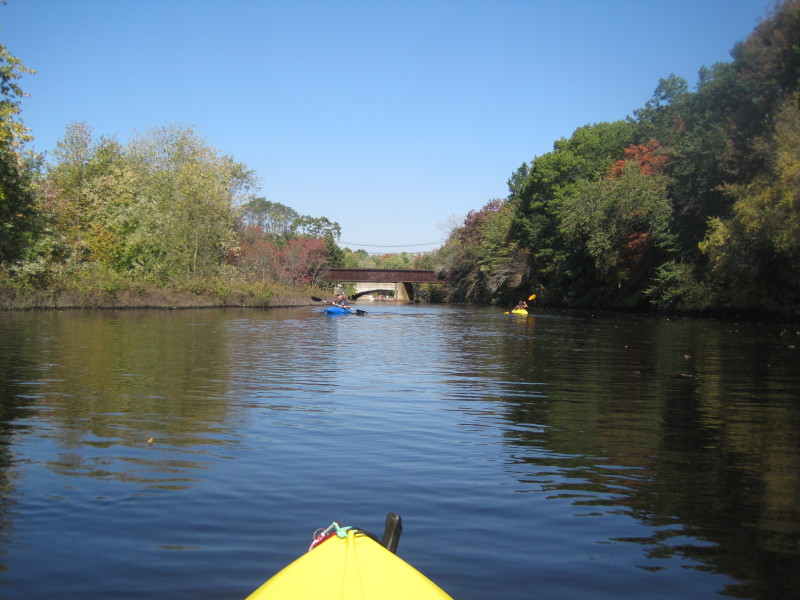
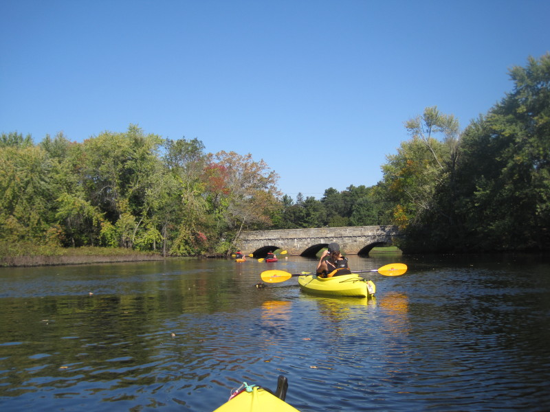
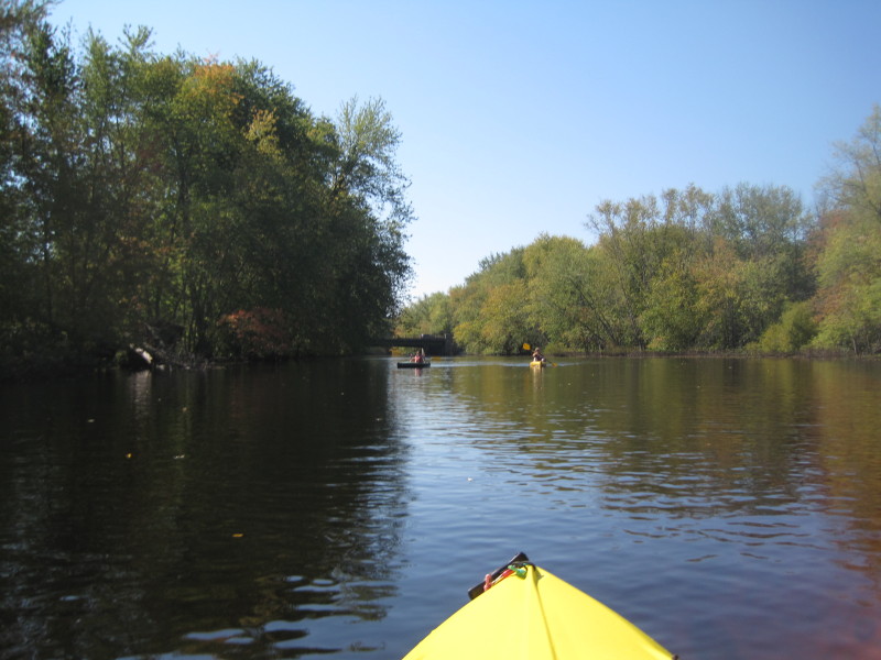
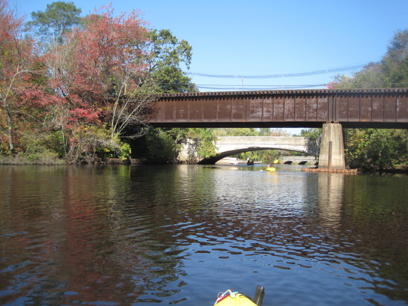 A cluster of 3 bridges ahead. First is the railroad bridge.
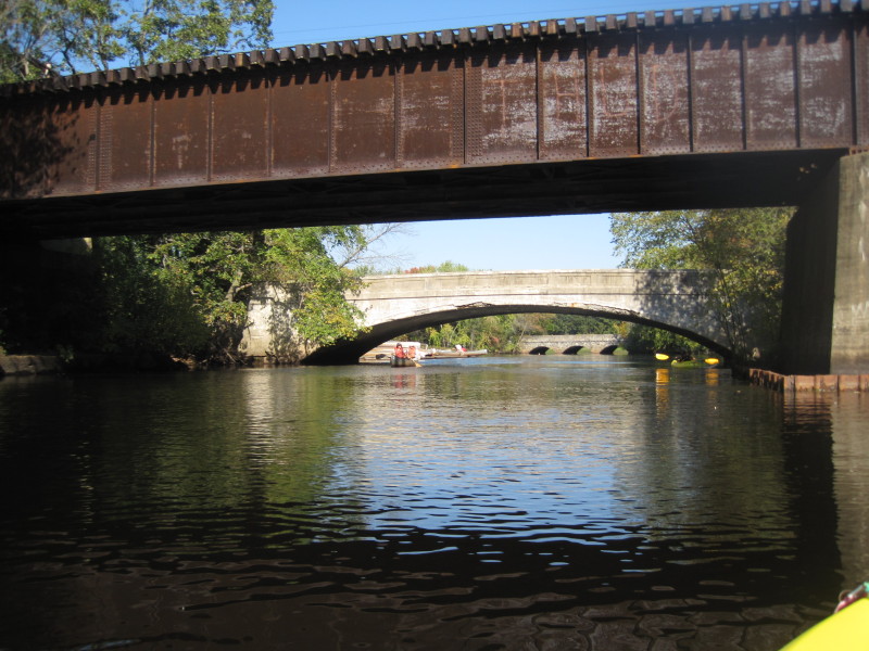 After the rail road bridge, is the Route 62 bridge.
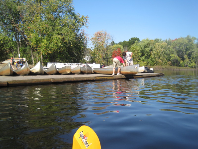
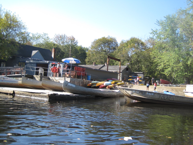
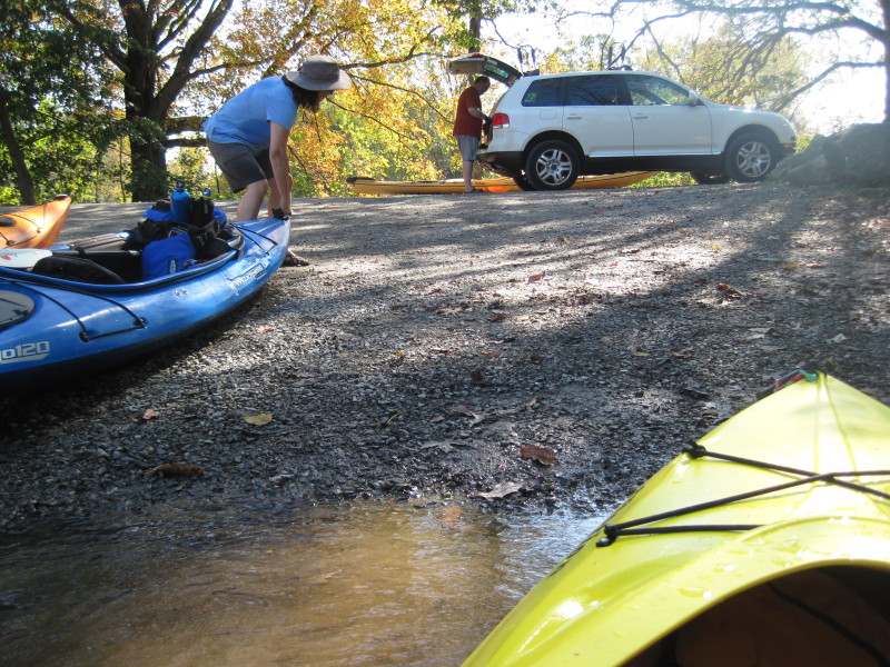
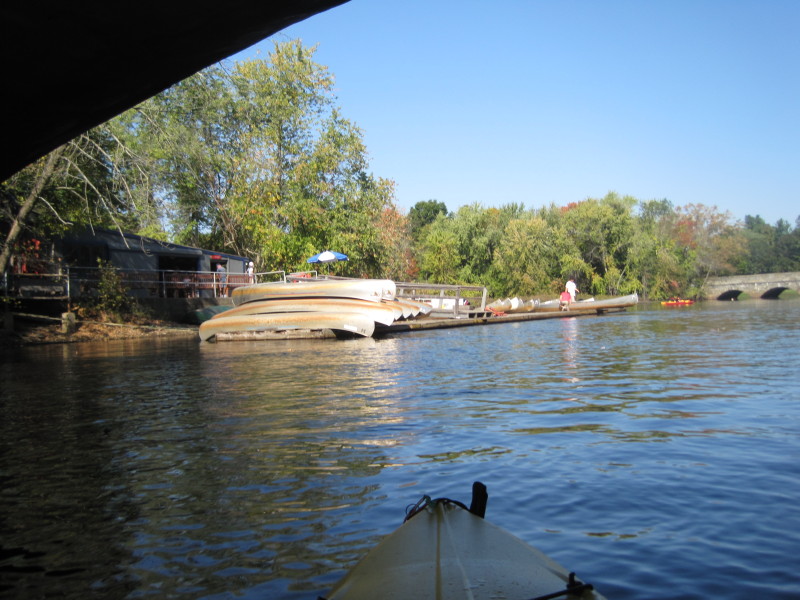 After the Route 62 bridge (and before the Route 2A bridge) is the South Bridge Boat House canoe and kayak rentals.
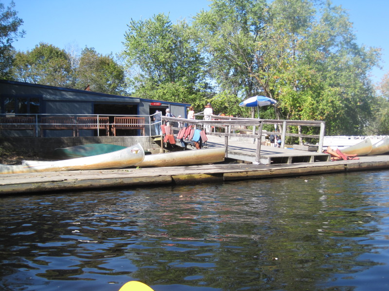 South Bridge Boat House on the Sudbury River.
 Continuing past the outfitter, the Route 2A bridge.
 Route 2A bridge.
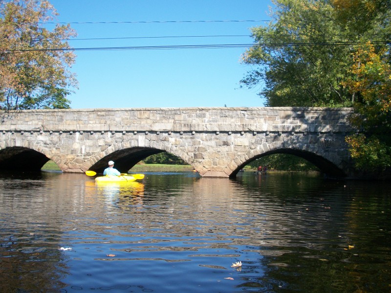
 Nashawtuc Road bridge.
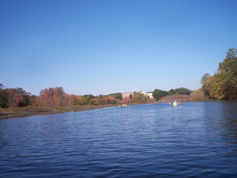
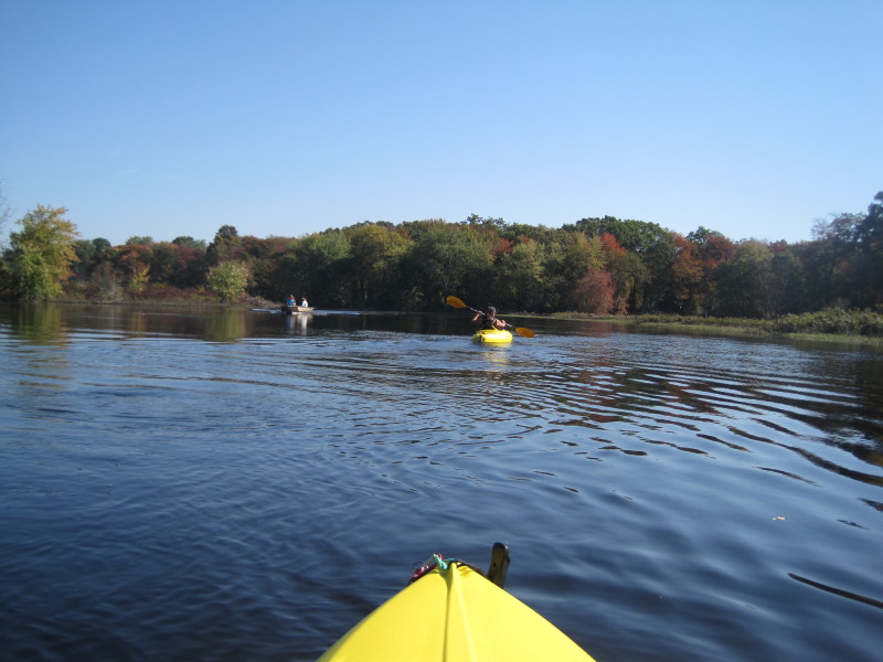
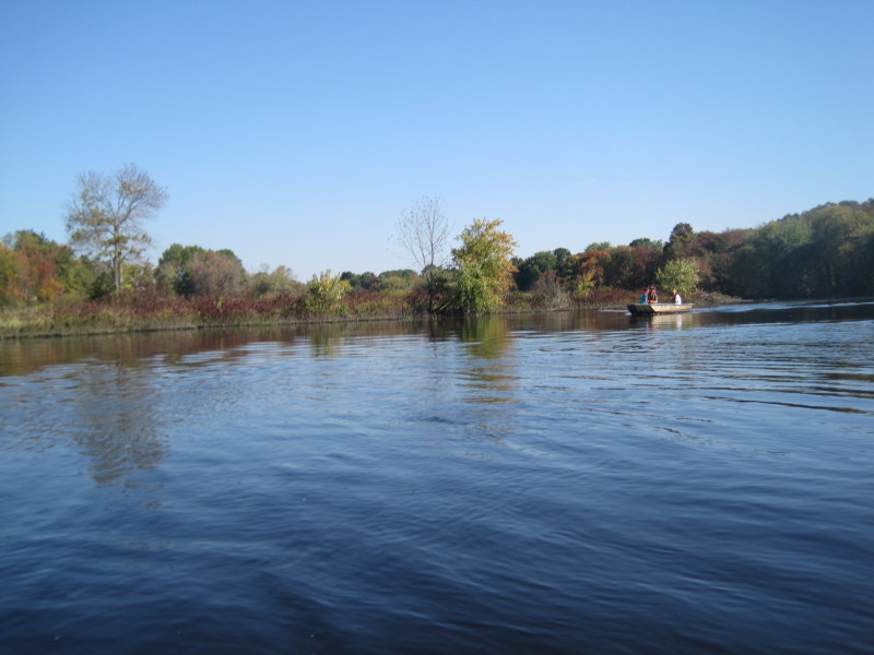
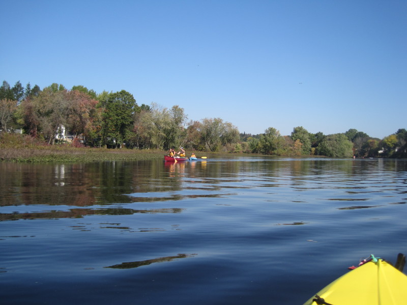
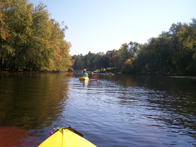
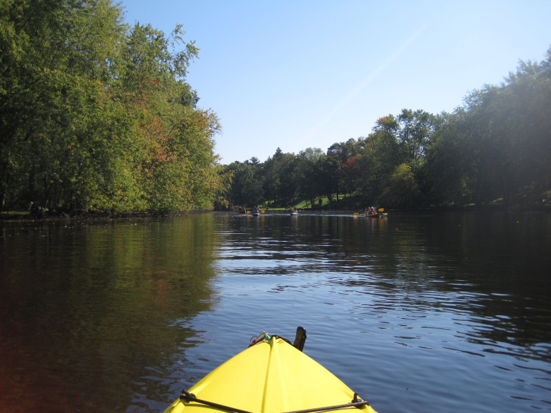
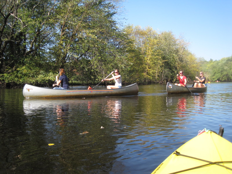
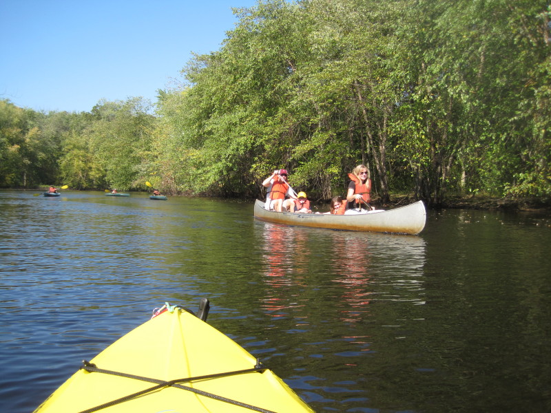
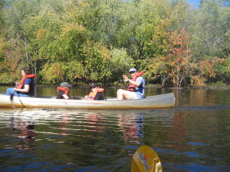
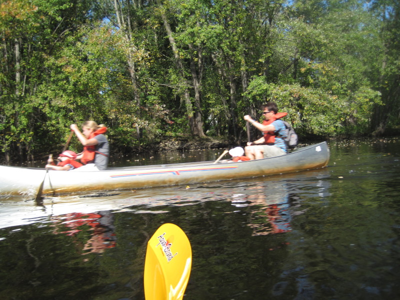
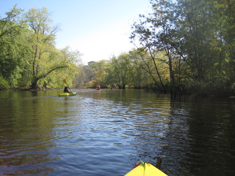
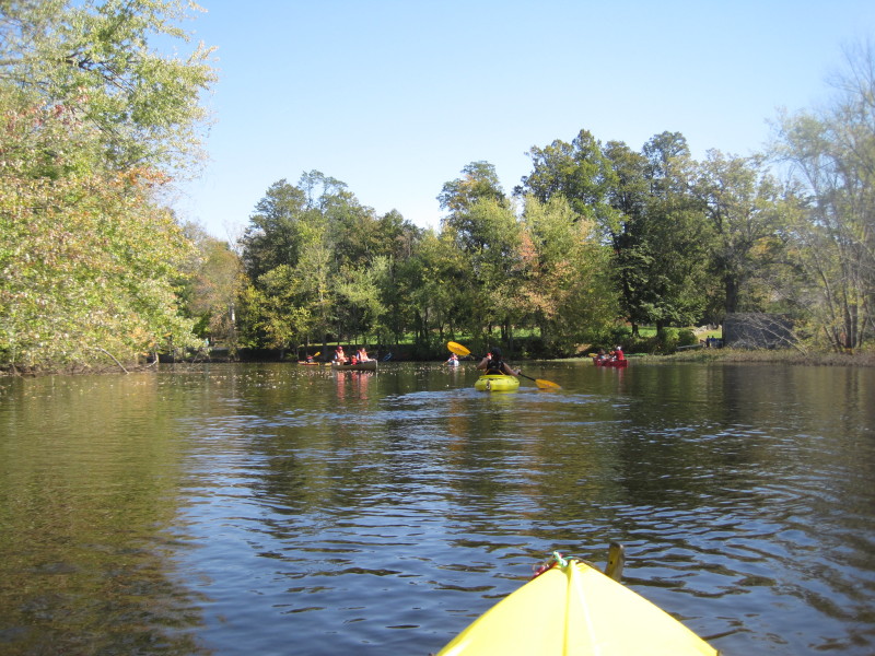
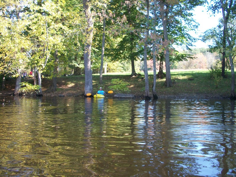
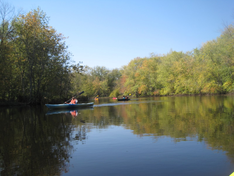
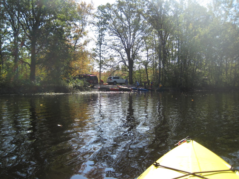
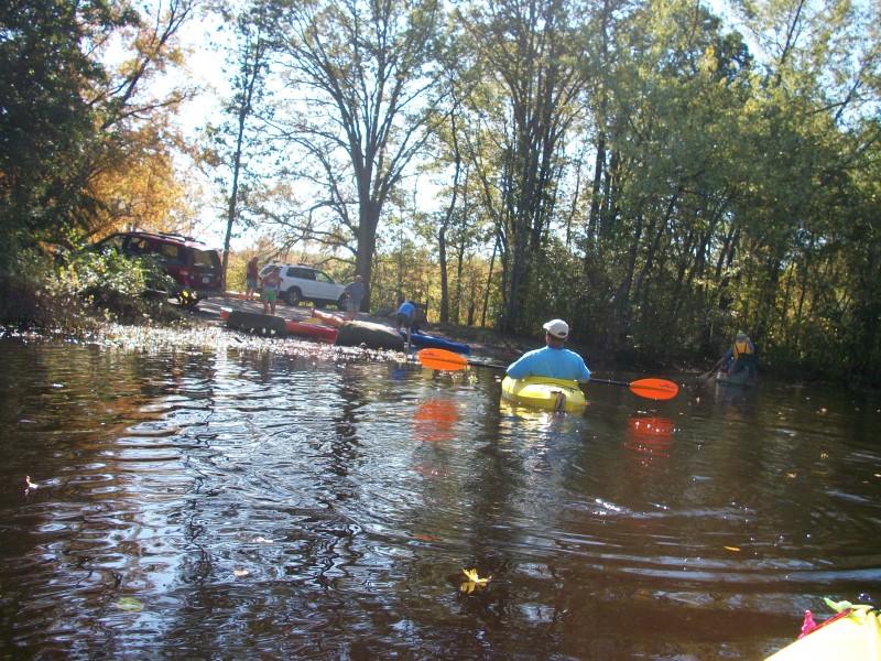
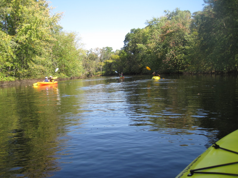 The river gets crowded in between the South Bridge Boat House and the Minute Man park.
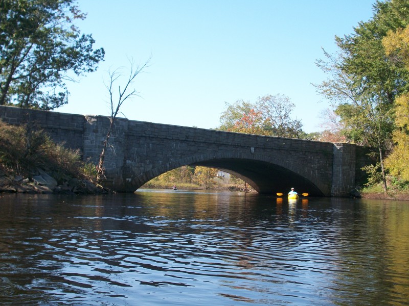
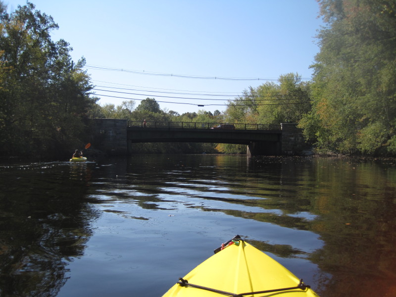
 Lowell Road bridge. We will go past this bridge to the historical park and come back later.
 The rive access at Lowell Road bridge.
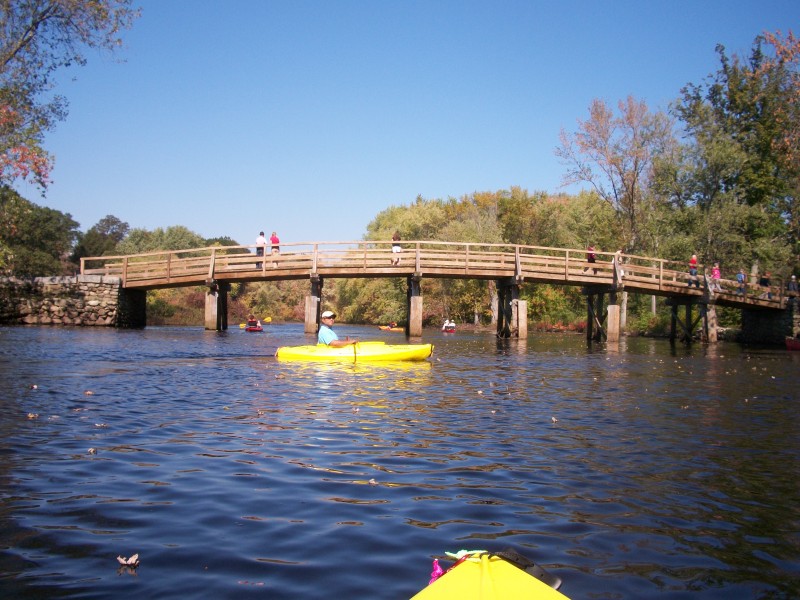
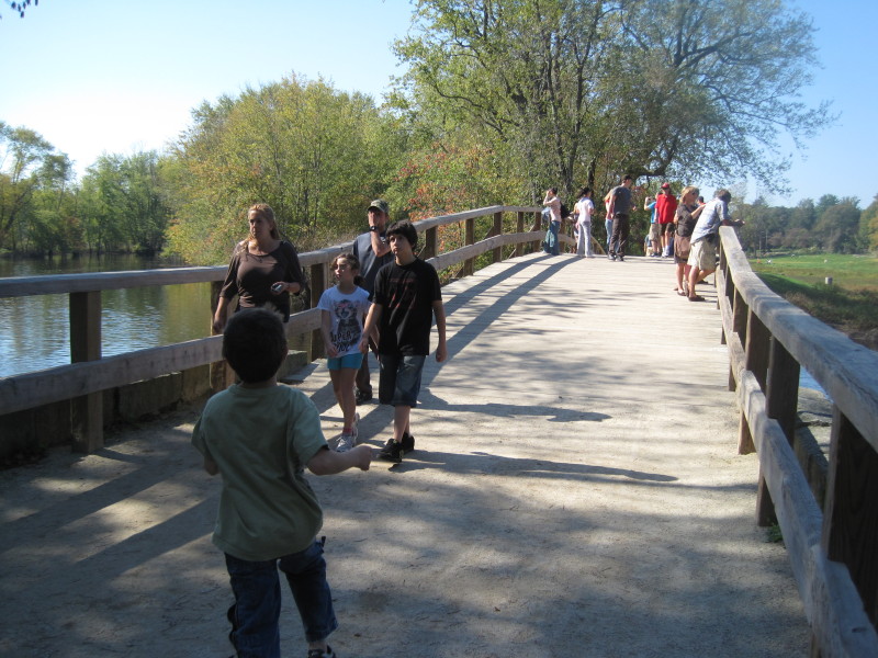
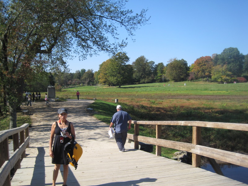
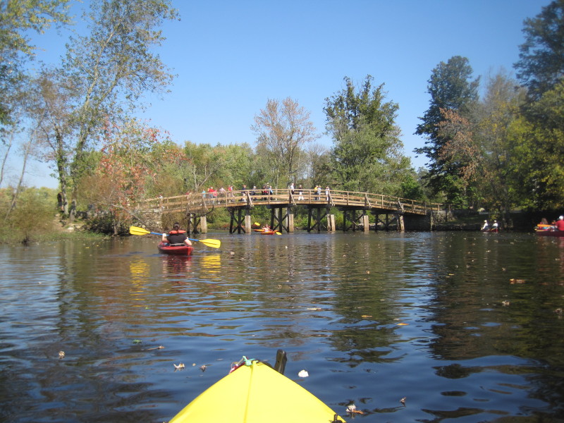 The Old North Bridge (replica). We beached on the right bank.
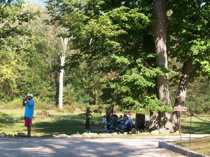
 At the Minute Man National Historical Park.
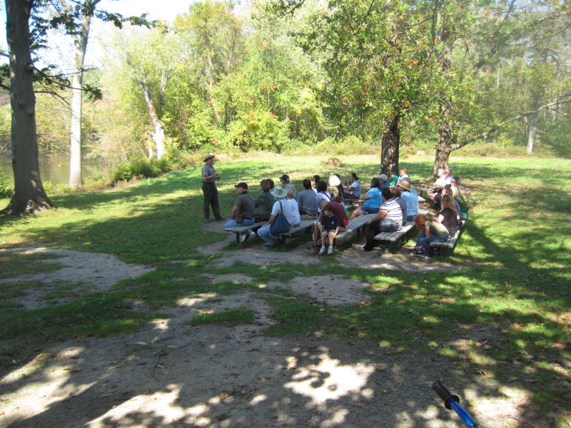 A ranger giving some history lessons on that historical events in Concord MA.
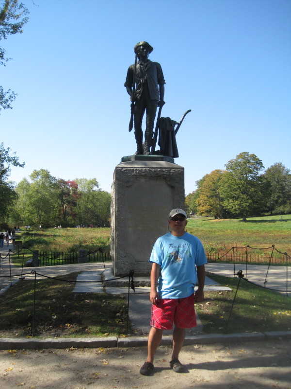
Minute Man Statue: Massachusetts chose this monument in the quarter-coin state series to represent the state. 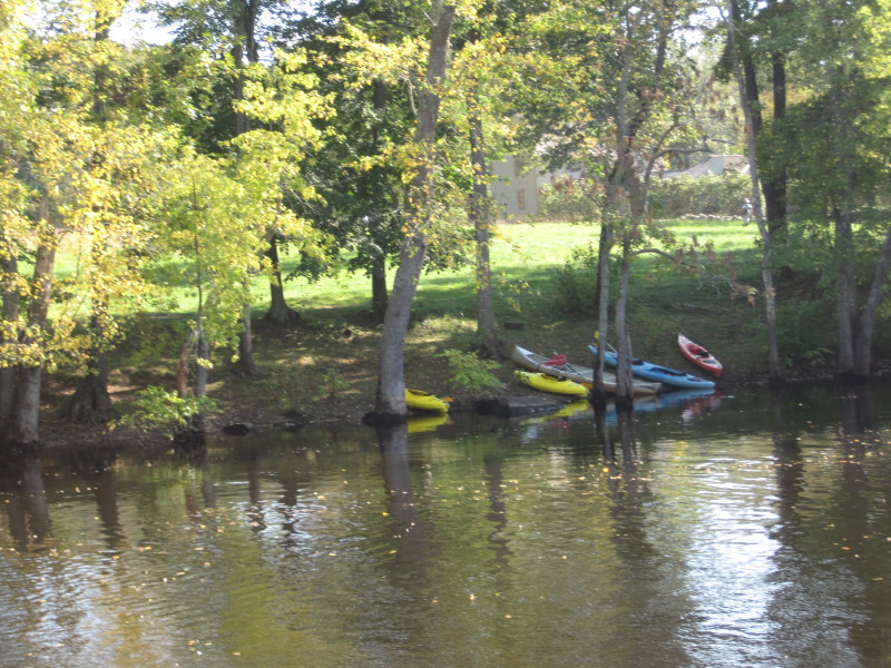
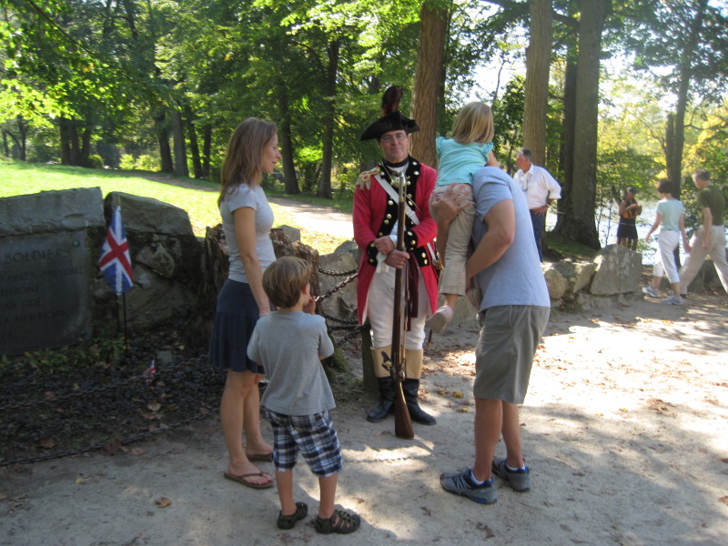
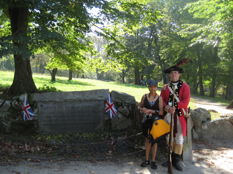 With a red-coat (British) colonial soldier.
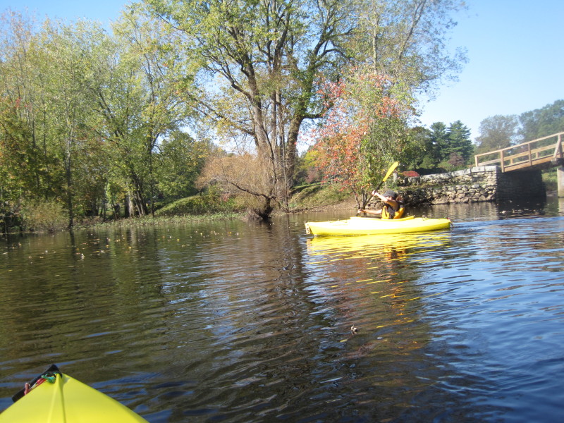 Back to our kayaks, we paddled upriver to Lowell Road bridge where we have our car parked.
 Lowell Road bridge in Concord MA.
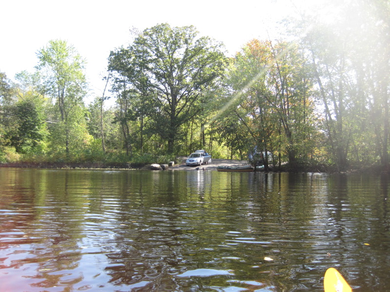
 River launch is south of Lowell Road bridge on the east bank.
 End of today's river trip.
 Lowell Road bridge in Concord MA.
|