 Kayaker

|


|
Download printer-friendly
PDF version that fits in one page: |

|
|
Other resources:
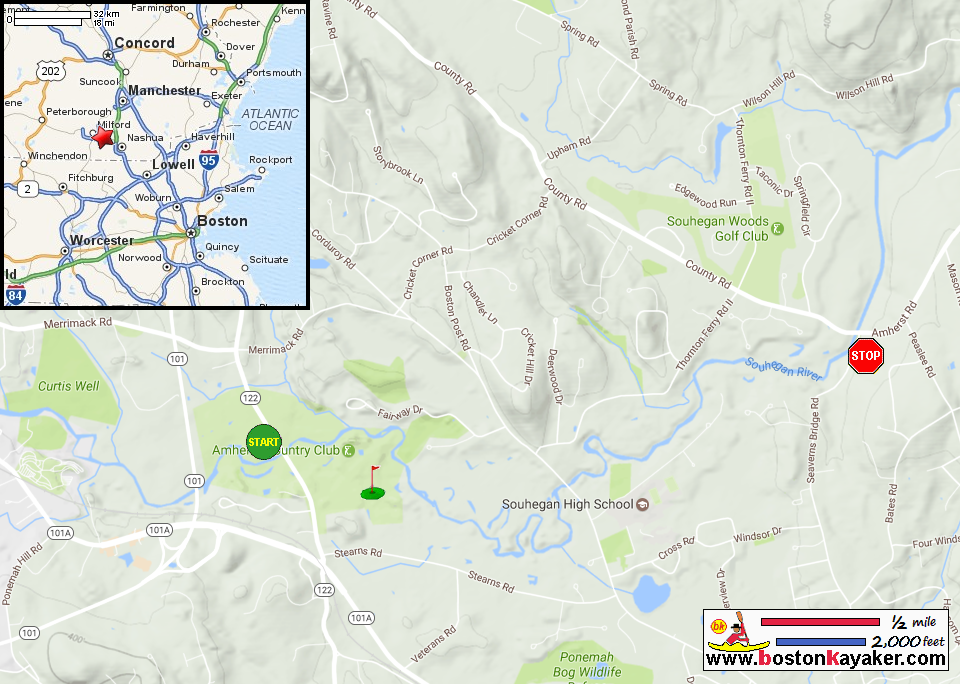
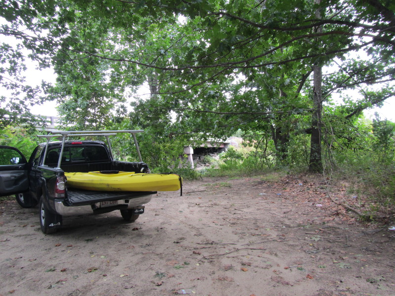
Souhegan Watershed Association: Souhegan River Canoe Guide (see Trips 6 and 7) All photos in this website are original and copyrighted. Trip 6: Rte 122 bridge to Amherst Canoeport at Boston Post Road - 2.25 miles 1 hour Description: Quickwater, flatwater Navigable: Most of the year Scenery: Forested and golf course This section of the river and the next - as far as Severns Bridge-has enough water to be passable most of the summer. It is also possible to put in downstream and paddle upstream - or to paddle back to your car without setting a shuttle. The main feature of this section is the golf course. Kids especially and golfers will enjoy picking up golf balls lost in the shallow water and along the banks. Some boaters carry a stick to pick them up off the bottom. The river here has a sandy bottom and the river meanders all over the place. There is one oxbow on the right that is still passable when the water is high. This oxbow rejoins the river only about 100 feet downstream of the main channel. The take out is marked by a set of wooden steps leading up to the parking lot. But pass the steps and take out just around the corner to avoid hauling your boat up the steep, eroded bank. As all along the river, watch for poison ivy. To drive to the take out, take 101A east to the traffic light at the Timeless Diner. Turn left. Turn left again in front of the white New England church. And turn left again. Take the left fork. This is Boston Post Road. Pass Souhegan High School and take a dirt driveway to the Amherst Canoeport parking lot on the right just before the bridge. Trip 7: Amherst Canoeport at Boston Post Road to Severns Bridge - 2 miles 1 hour Description: Quickwater, flatwater Navigable: Most of the year Scenery: Forested, rural This section of the river is a continuation of the last section. The river meanders around. There is often wildlife to be seen. When a few rocks begin to appear on the otherwise sandy riverbed, you’re approaching the take out at Severns Bridge. The take out is on the right just before the bridge up an eroded slope. To drive to the take out from Boston Post Rd, cross the bridge and take the next right onto Thorntons Ferry II. Follow to the stop sign and turn right. Cross Severns Bridge and turn right. However, if you are combining this section with Trip 6 from Rte 122, follow the directions to Boston Post Road, but at the fork, take the right. This is Severns Bridge Road. Follow a couple of miles to the bridge. Parking in the parking lot at the take out is possible for four wheel drive vehicles. Cars can park across (and off) the road. 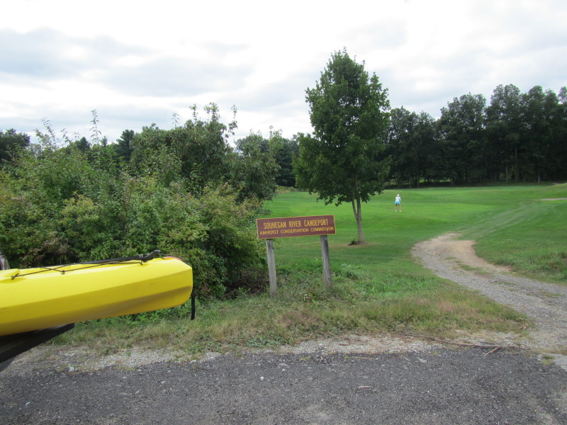 At the entrance to the Souhegan River canoe launch on northwest side of
the Ponemah Road / Route 122 bridge in Amherst NH. Pictures taken September 2013. 
Next to the launch is the Amherst Country Club. 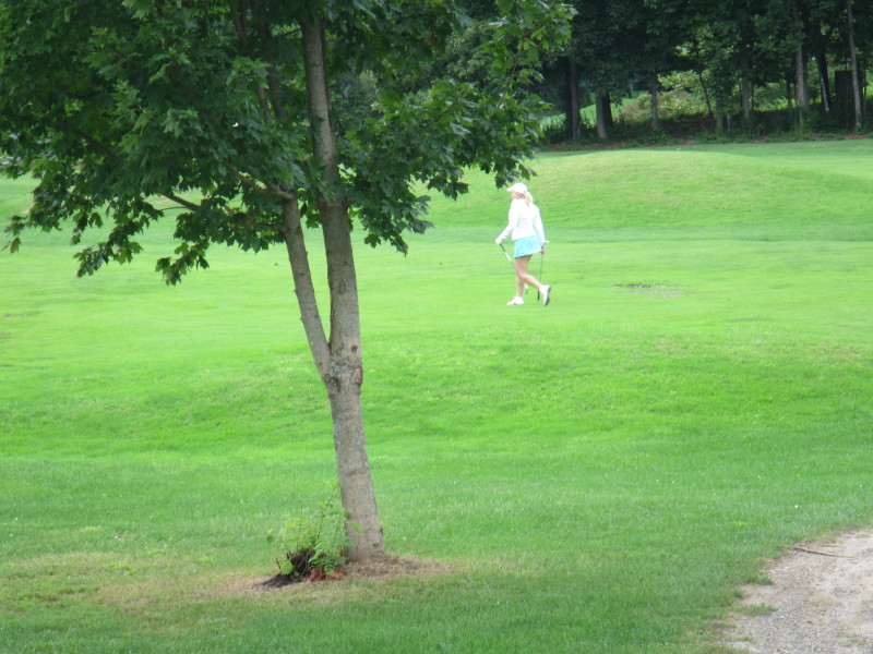
 The launch area has space for a few cars.
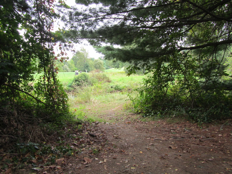 The path to the put in.
 The put in spot to the Souhegan River on the west side of the Route 122 bridge.
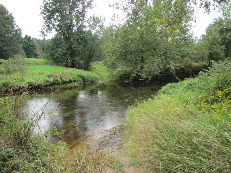
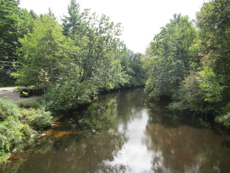
 Looking downriver from the put in.
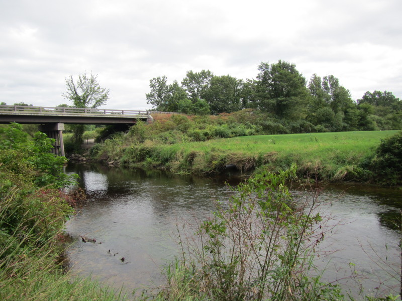
 Souhegan River viewed downstream from the Boston Post Road bridge.
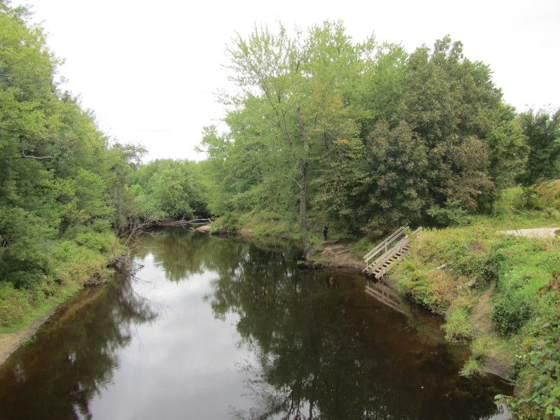 From the Boston Post Road bridge looking upriver to Souhegan River.
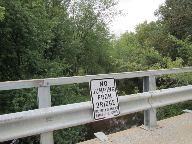 The honorable selectmen of Amherst NH does not approve you jumping off this bridge!
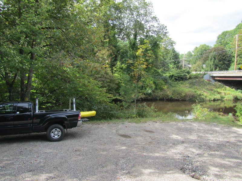 At the Souhegan River access on Sevearns Road Bridge in Merrimack NH.
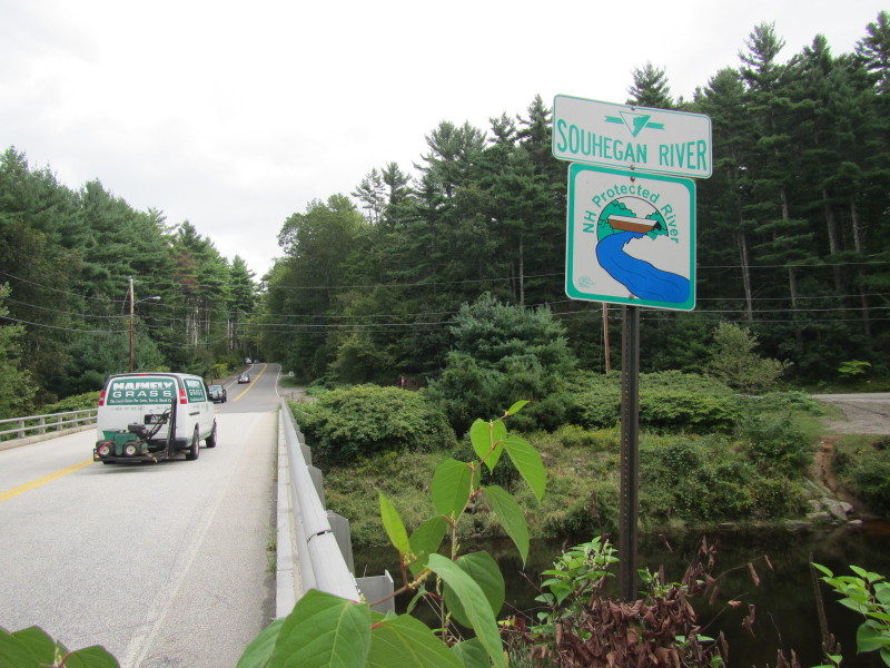 The Souhegan River marker on the Country Road bridge in Merrimack NH.
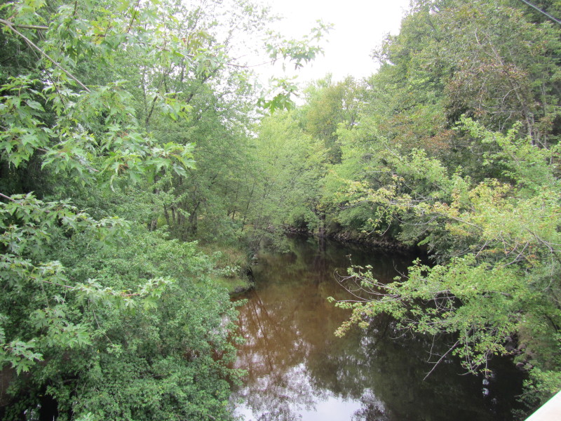
 From the Country Road bridge looking downstream on Souhegan River.
The river access is on left of the picture. 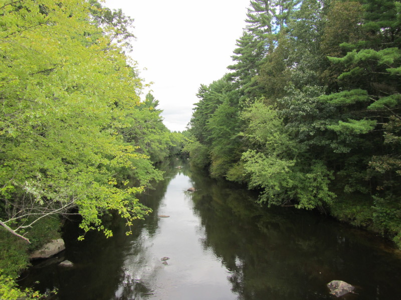 Looking downriver on Souhegan River from the Country Road bridge.

Seaverns/Fields Covered Bridge The initial bridge built on this site was in 1751, jointly owned by Amherst and Merrimack. Rebuilt in 1776 and 1802, it was recorded as "covered" in 1859, being 116 feet long and 16 feet wide. It was known first as the Upper Bridge, then Seaverns Bridge and finally as Fields Bridge. Standing for 110 years, it was destroyed by arsonists June 7, 1969. |