Other resources:
Explore RI's Blueways and Greenways: Smith and Sayles Reservoir
Number of original photos on this page : 100
All photos in this website are original and copyrighted.

At the Smith & Sayles Reservoir launch area at Sand Dam Road in Glocester RI.
Trip date is Independence Day July 4th, 2016.
 Launch area has enough room for 10+ cars.
 The public access ramp to Smith and Sayles Reservoir.
 The Boston Kayaker just launched on Smith and Sayles Reservoir.
Paddled to my right (south). Will do a counter-clockwise circle around the reservoir.


 Immediately to the right of the ramp is this jutting peninsula blocking the souther part of the reservoir.
 Powered boats on Smith and Sayles.
 Just passed the peninsula, I can now see the rest of the southern portion of Smith and Sayles.
A couple of kayakers on Smith and Sayles. They launched a few minutes before me earlier.


 Continuing my southern paddle.


 Private Island! You can look but not touch. What a shame!

 Looking to my left (north).
Private island on left of picture.
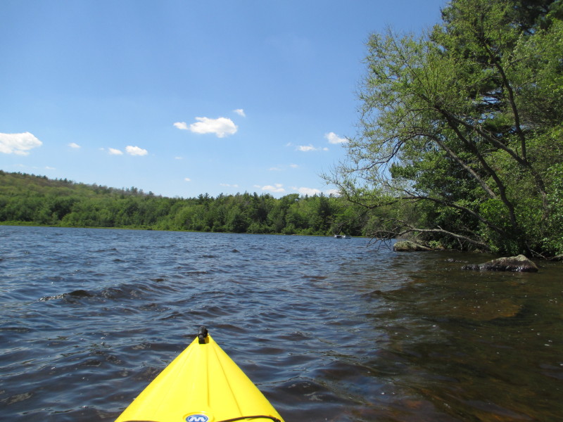
 Continuing to follow the coast to my right.

 Looking to my left, the western shore of Smith and Sayles.

 A blue heron on the shores of Smith and Sayles.


 To my right, a cove, a geese rookery.


 Another cove on my right.


 Happy campers.


 A big Fourth-of-July party.


 Kids and kiddie-kayaks.


 Paddling towards the southern tip of Smith and Sayles.
 In front of me is the southern tip of Smith and Sayles.
 Pivot to my left.
 Continuing my counter-clockwise and now paddling northerly keeping the coast on my right.


 Swimmers on Smith and Sayles.


 A blue heron in flight over the Smith and Sayles.


 Approaching the northern end of Smith and Sayles.

 Chestnut Hill Road. The northern end of the reservoir.
 Paddling towards the northwest corner. Chestnut Hill road on my right.


 The Smith and Sayles dam at the northwest corner of the reservoir.
Sign says "Stay back 200 feet.".
 Another pivot to the left and now paddling southerly direction.


 Approaching the ramp where I cam from.
 Landed. Paddle time is 1 hour 5 minutes.
 Smith and Sayles launch area picture taken October 2012.
 Autumn colors in Smith and Sayles.
|
 Kids and kiddie-kayaks.
 Swimmers on Smith and Sayles.
