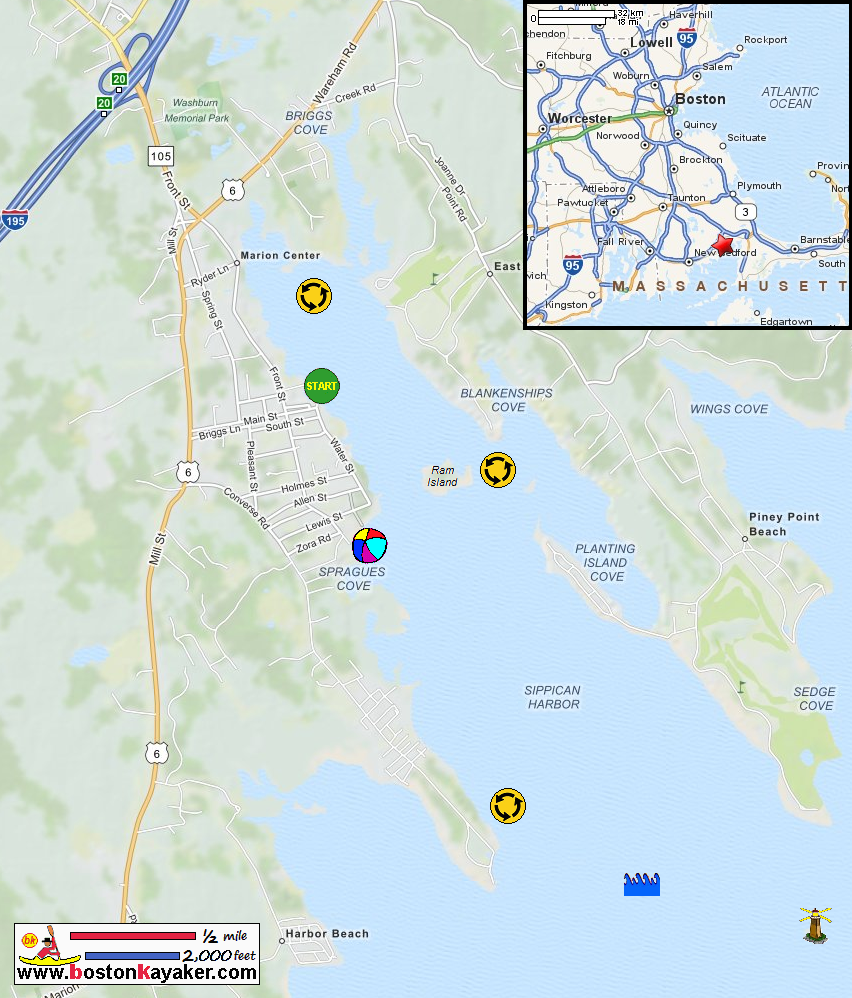
Other resources:
US Harbors: Sippican Harbor Tide Chart
US Harbors: Sippican Harbor Guide
Number of original photos on this page : 56
All photos in this website are original and copyrighted.
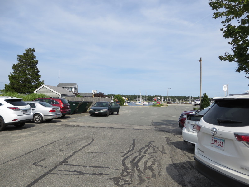 At Island Wharf Road in Marion MA.
Trip date is August 2015.
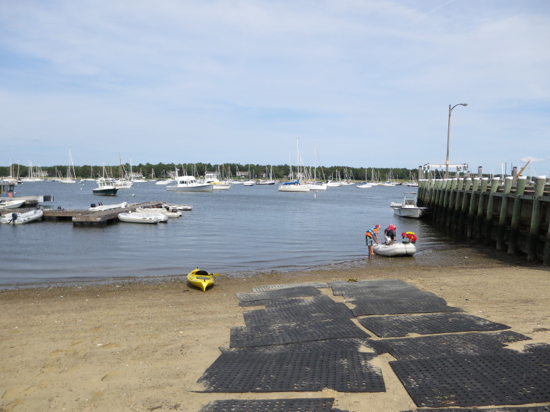 The launch to Sippican Harbor.
I had no parking problems today.
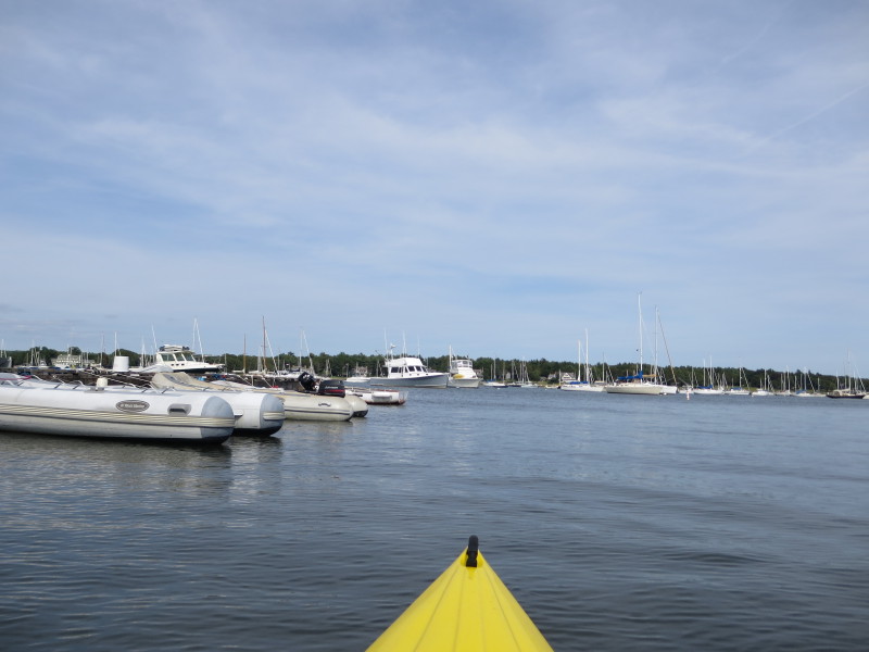 The Boston Kayaker just launched into Sippican Harbor in Marion MA.
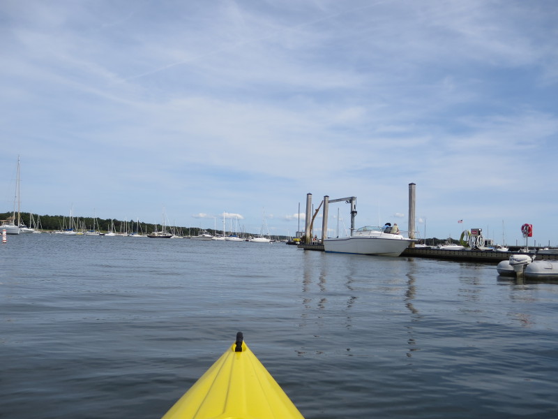 Veered to my right and will head south along the western shore of Sippican Harbor.
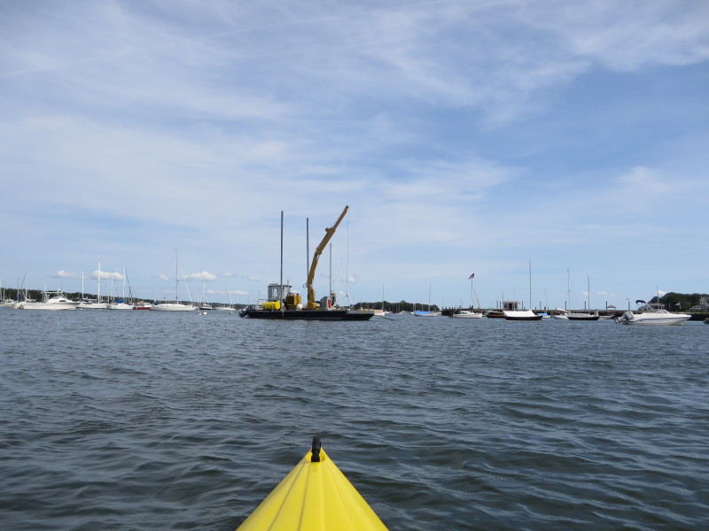
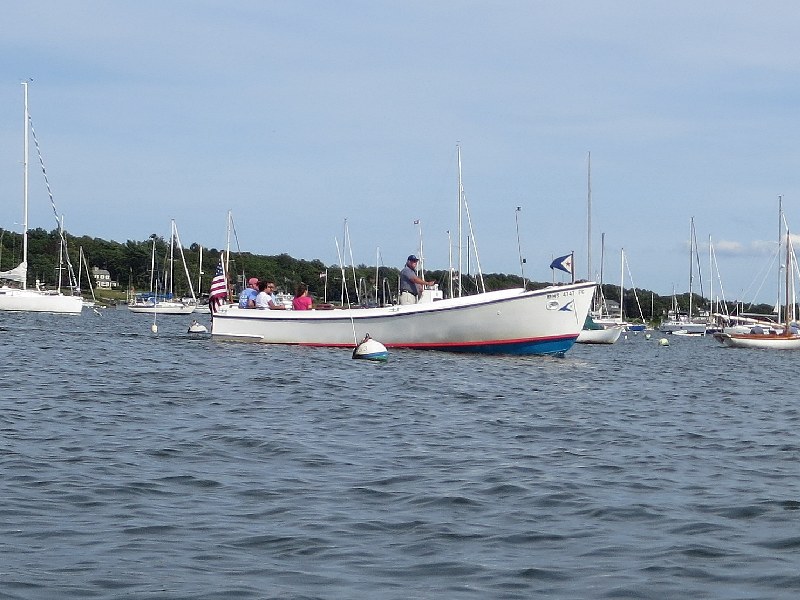
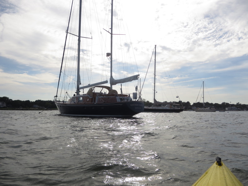
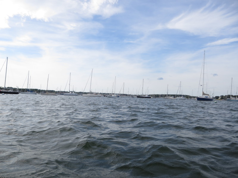
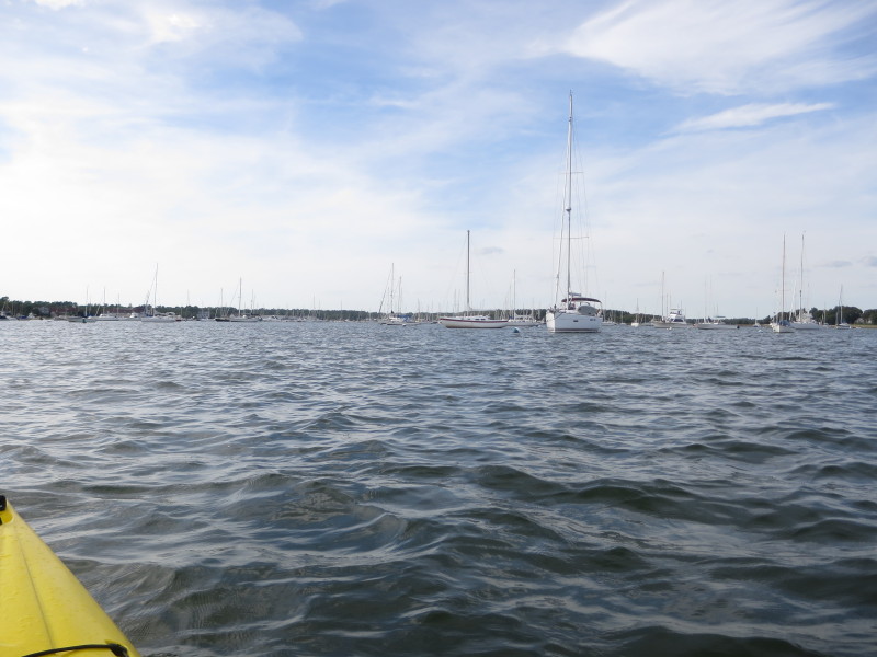
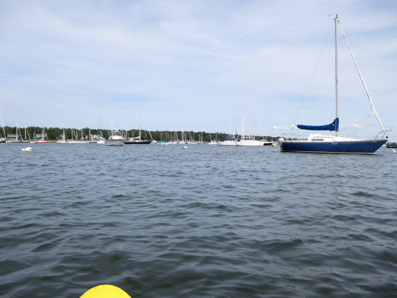 Sippican Harbor is a big parking lot for boats.
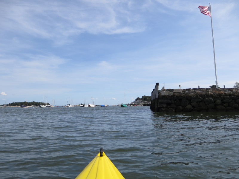
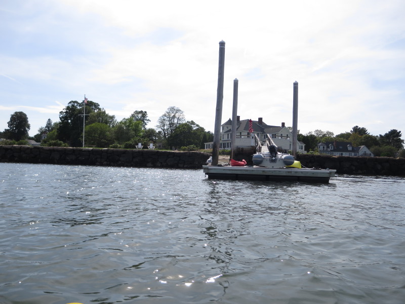 A private dock befitting a private rich man.
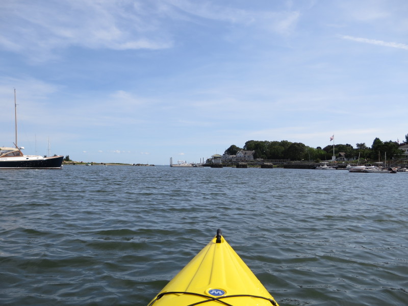
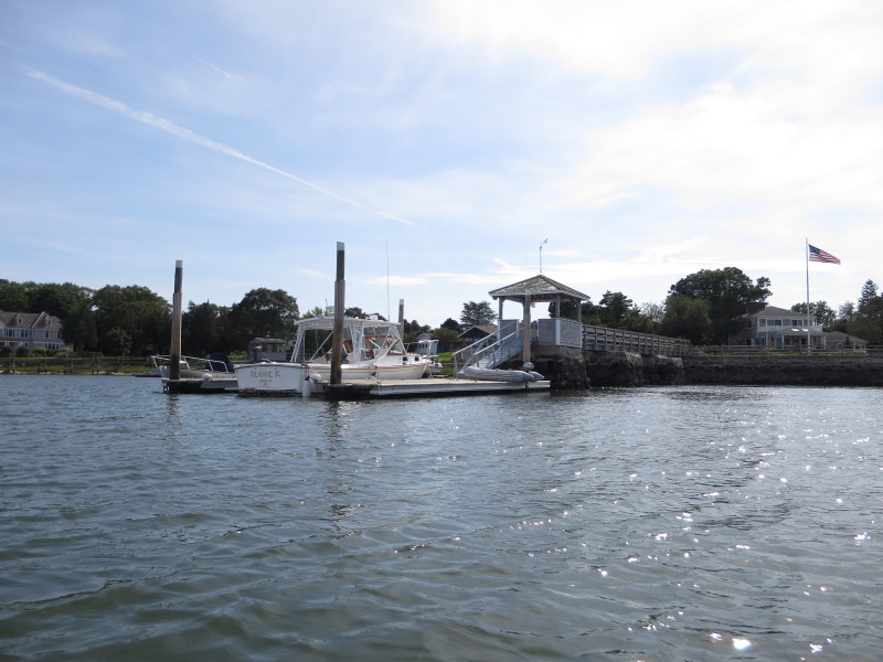
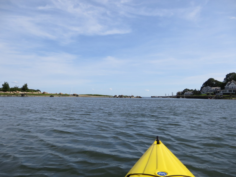 On the left of the picture is Ram Island.
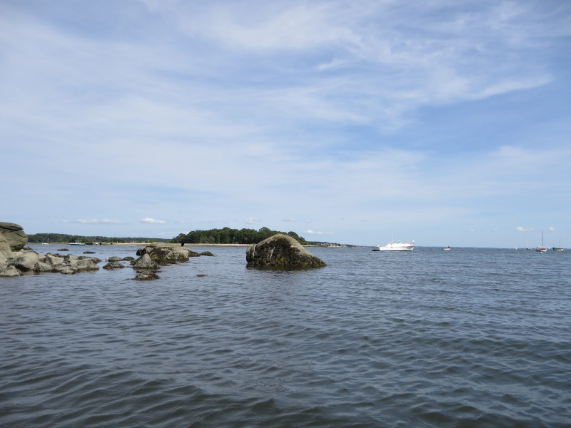
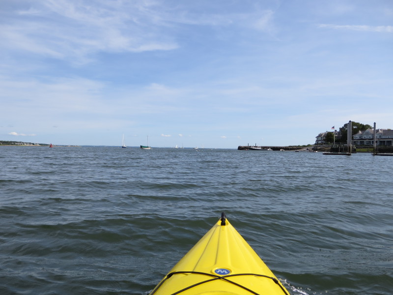 Now south of Ram Island.
That white thing in the center of the picture is the Bird Island Lighthouse.
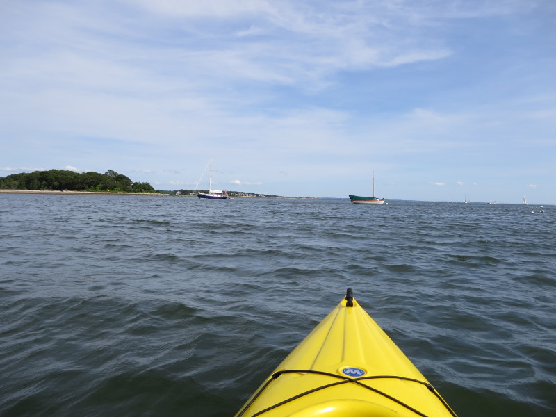
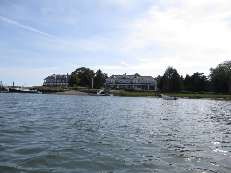 Harbor-front homes.
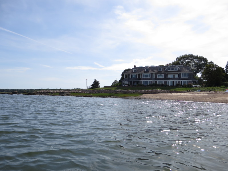
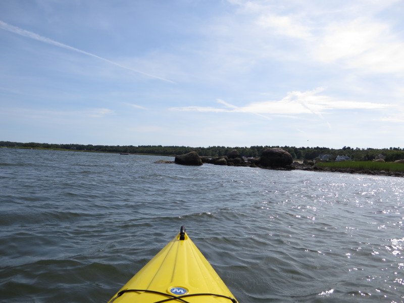
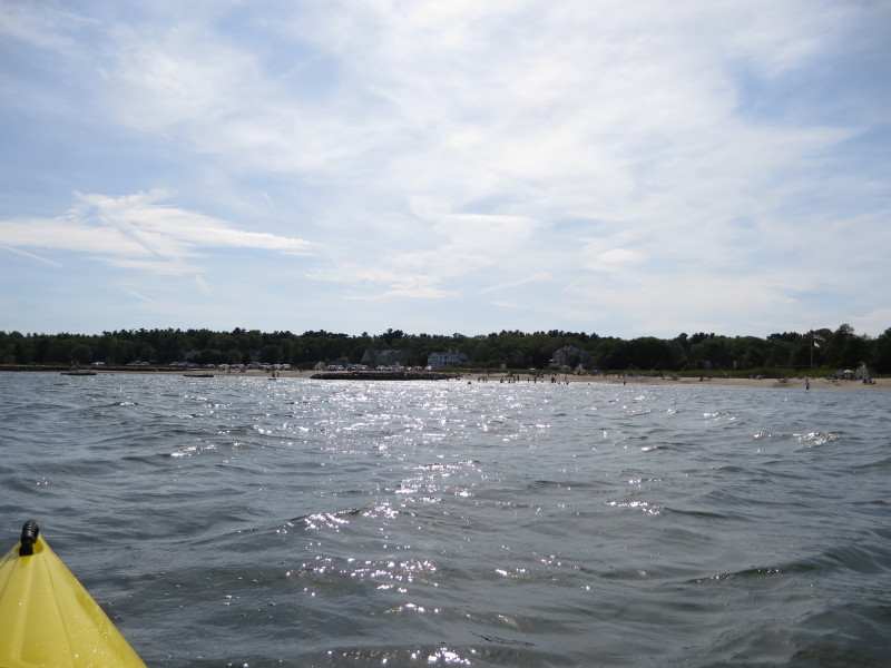 On my right is Spragues Cove beach.
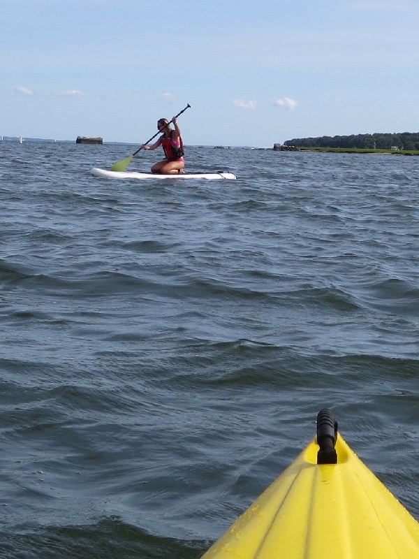
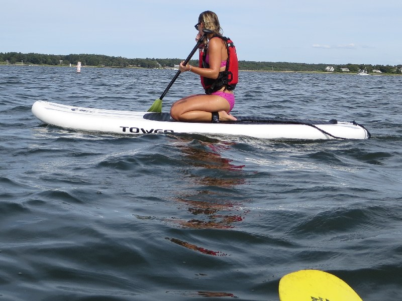
A stand-up paddler on Sippican Harbor.
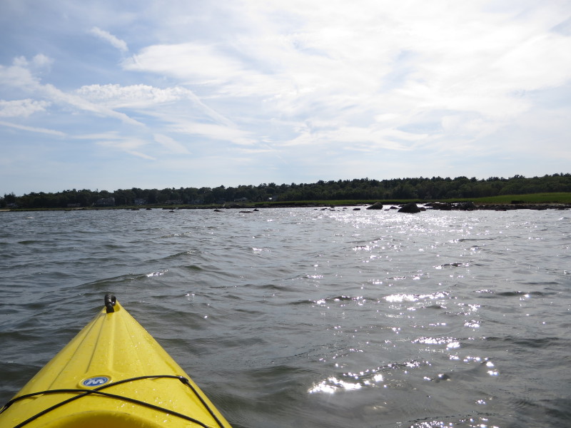
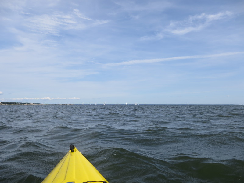 I decided that rather than continue along the western shore,
I will head east to the other side of Sippican Harbor.
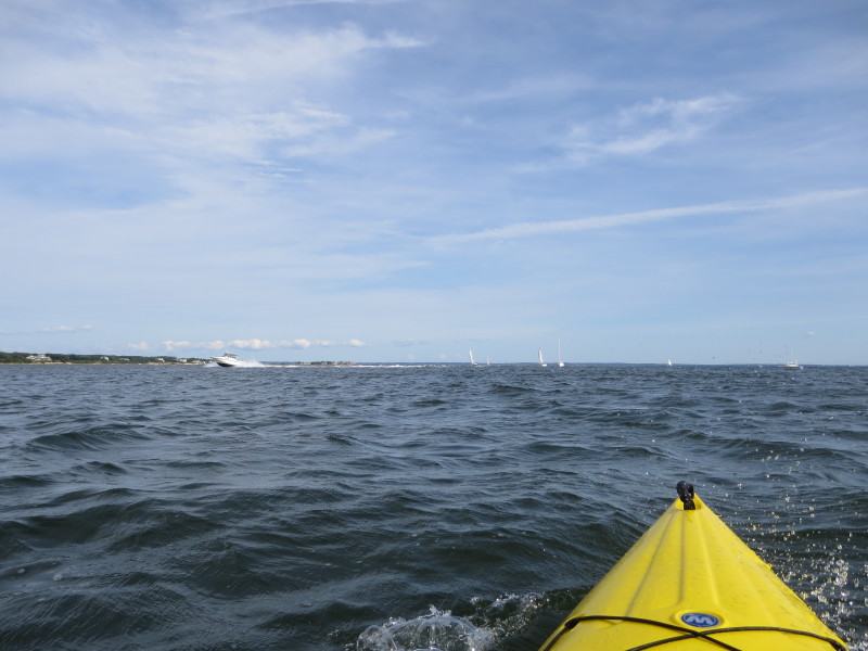
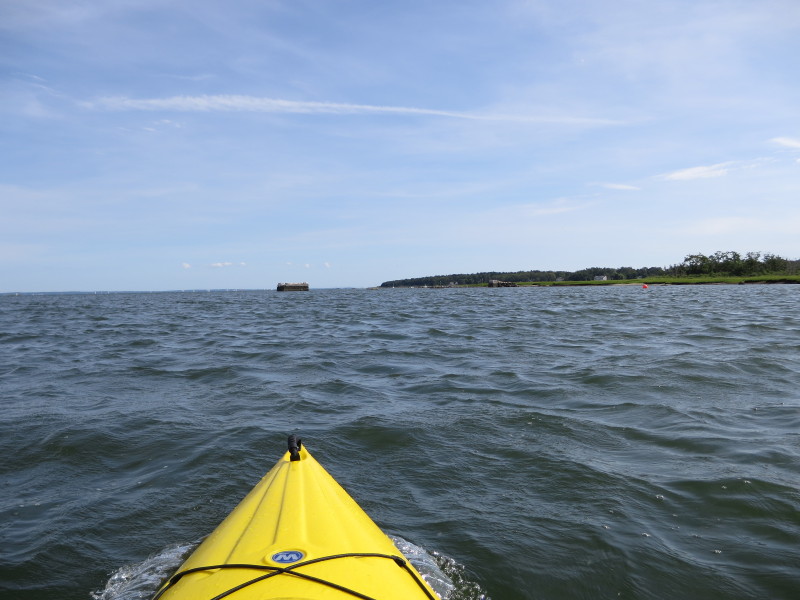
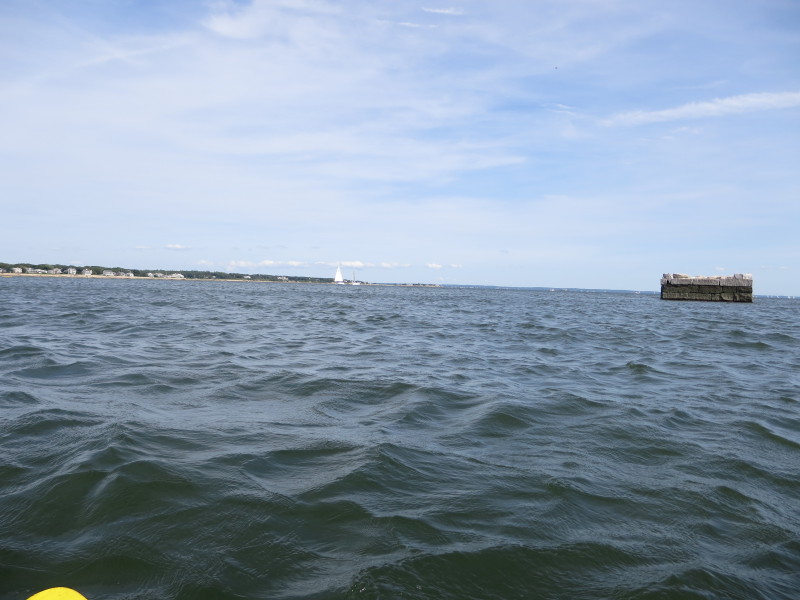
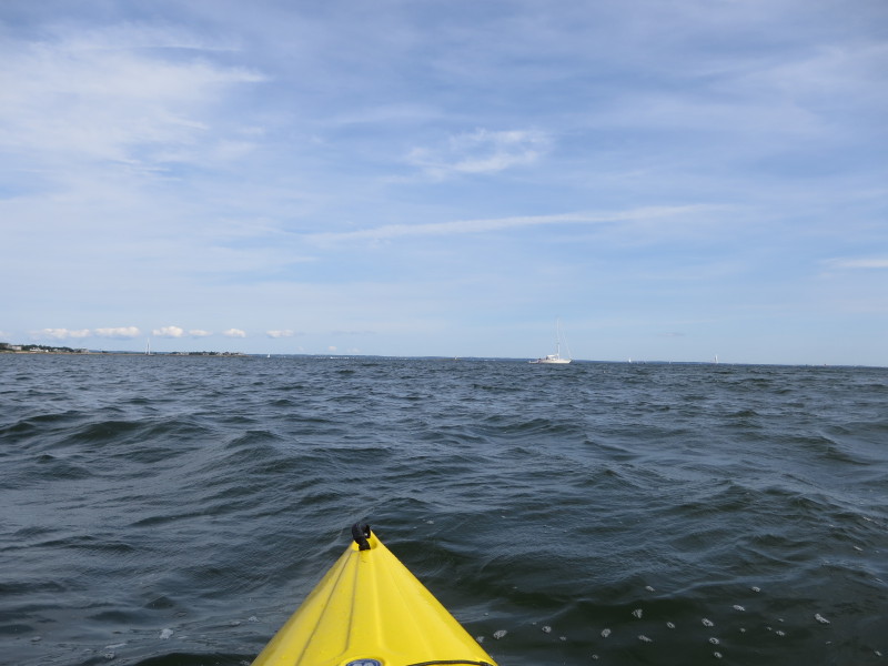 Choppy waters of Sippican Harbor.
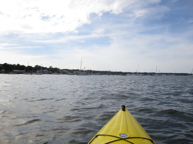
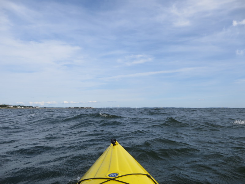 In direct line of sight is the tip of the eastern shore of Sippican Harbor.
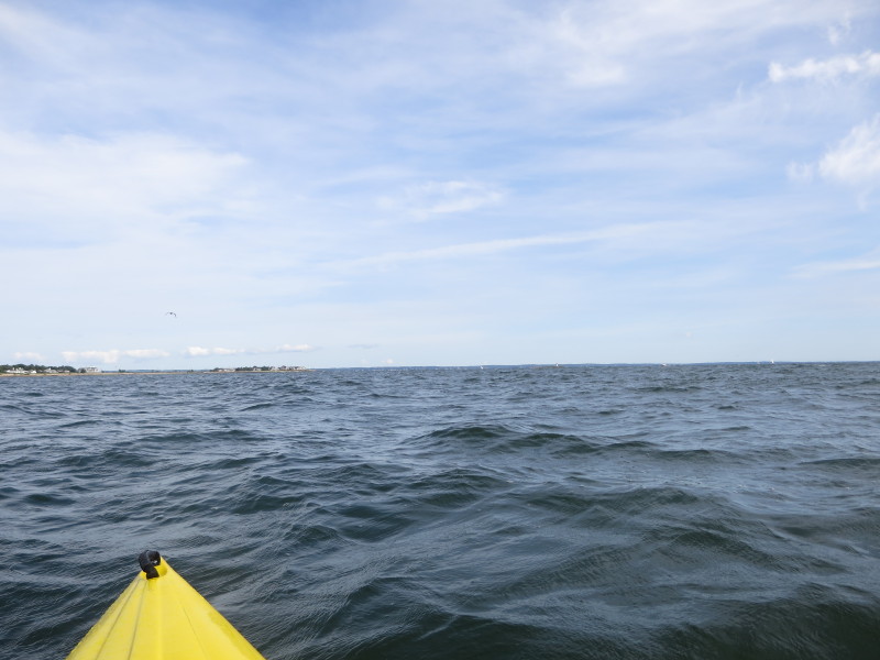
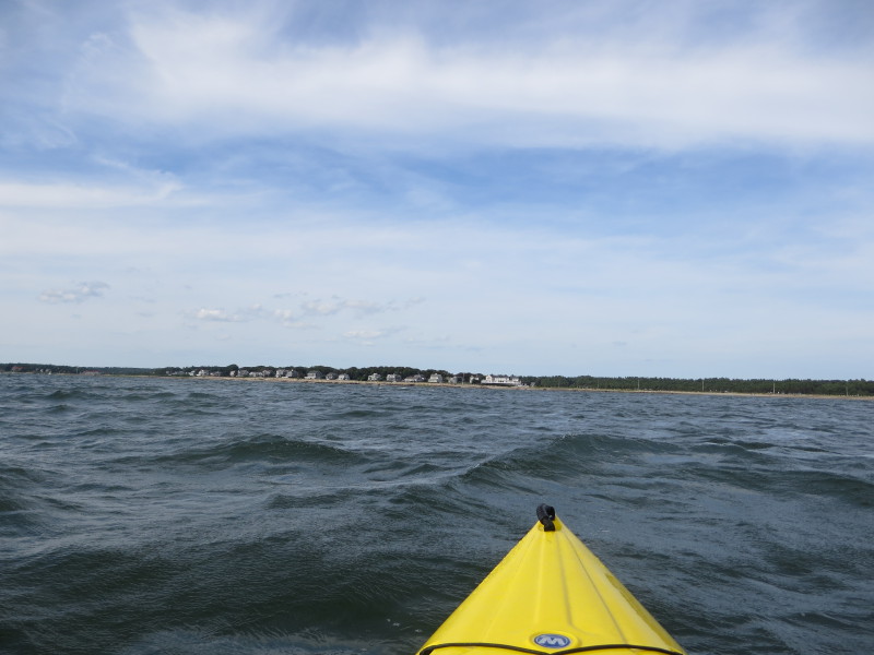 I decided that rather than continue my southerly direction, I will paddle
directly towards the eastern shore so I veered to my left.
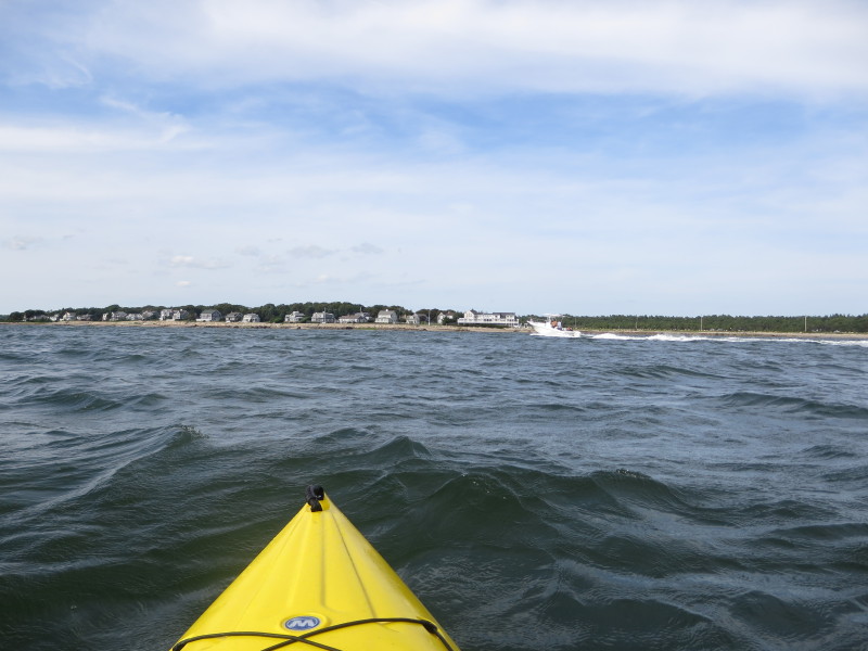 Now approaching the eastern shore.
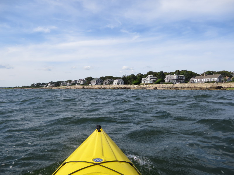 Now paddling northwards along the eastern coast of Sippican Harbor.
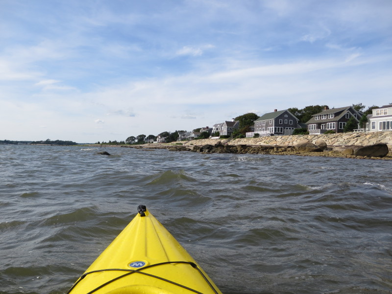
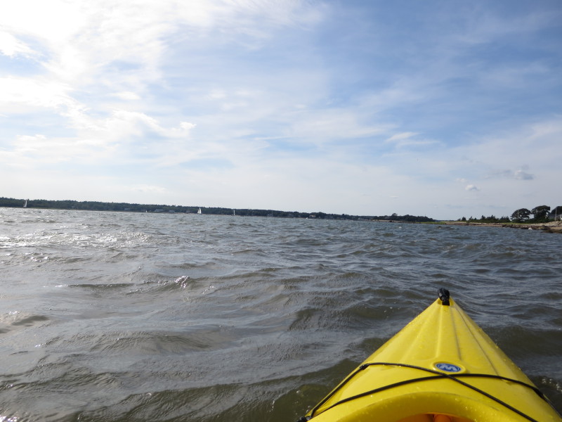
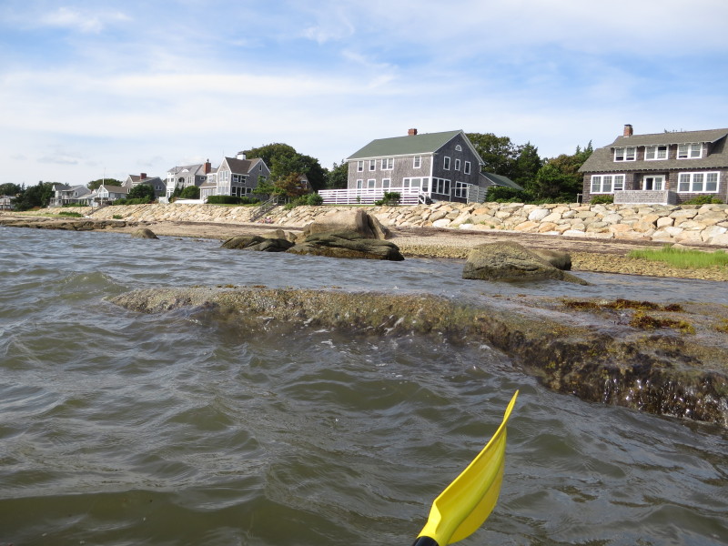
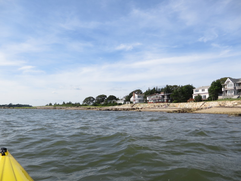
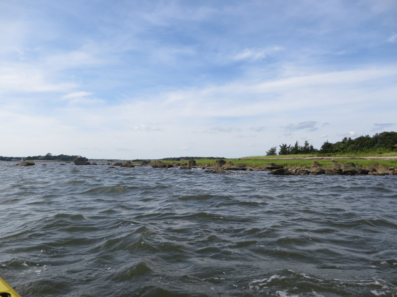
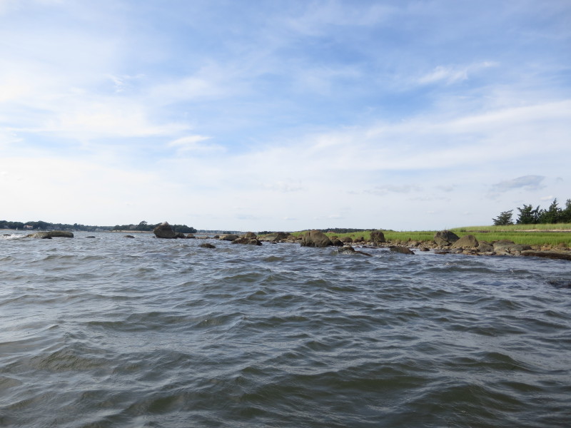
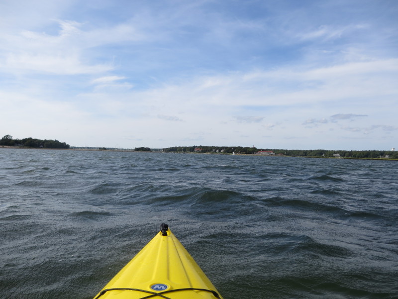 On my right is the Blankenships and Planting Island coves that I will not enter today.
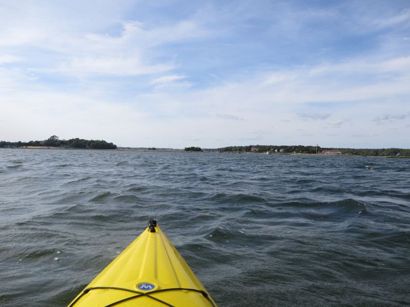
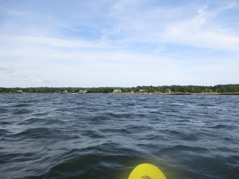 Looking to my left, the western coast of Sippican Harbor.
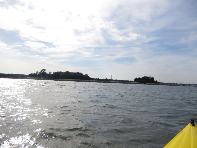 Approaching the eastern side of Ram Island.
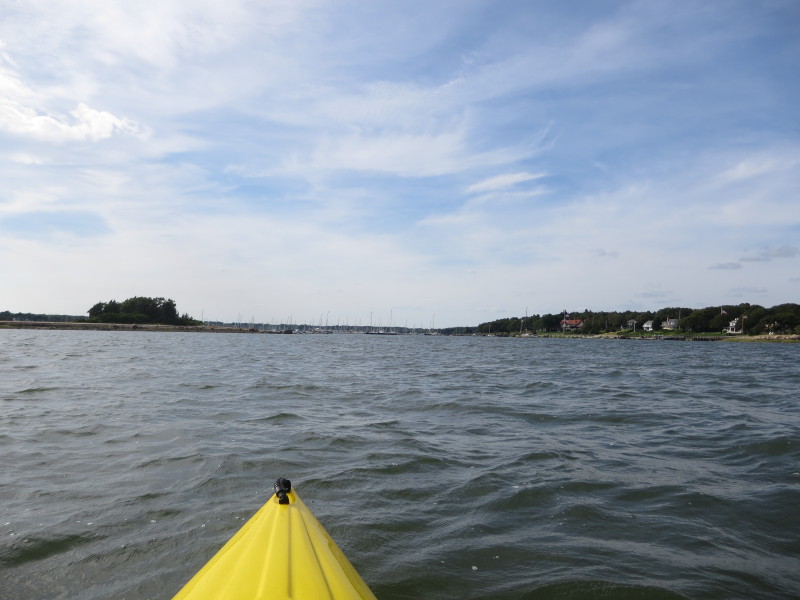
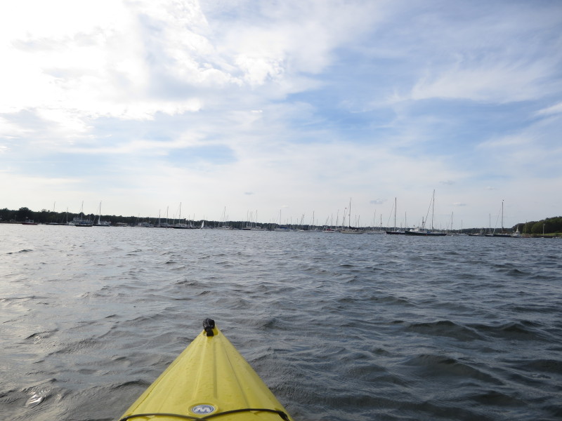 Now north of Ram Island, will veer to my left to head back to Island Wharf where I came from.
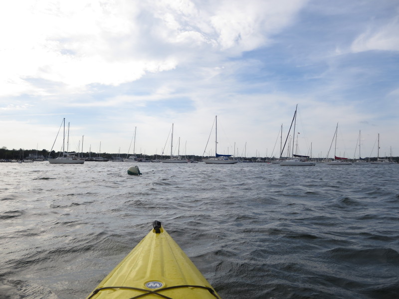
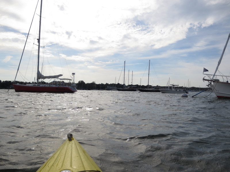
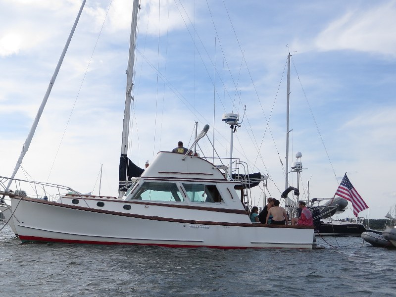
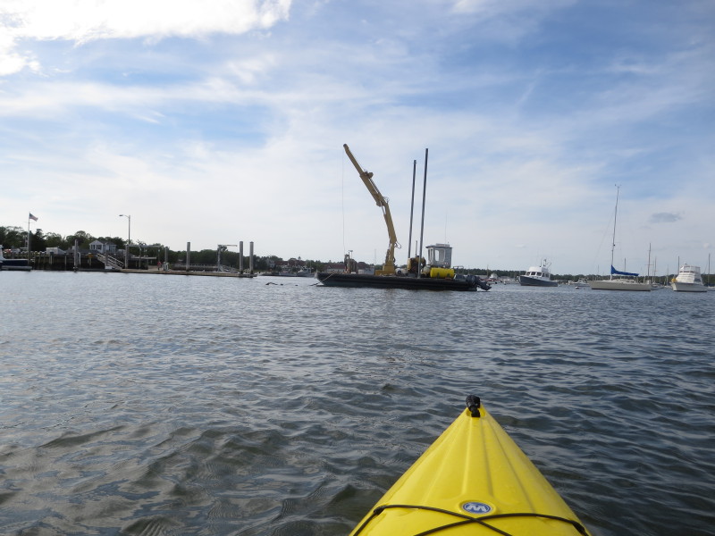
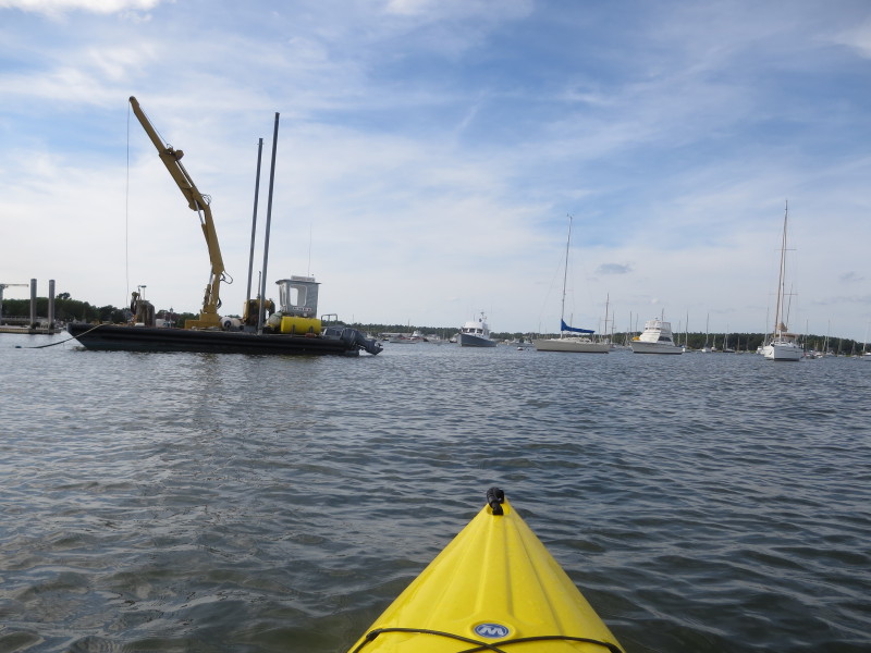
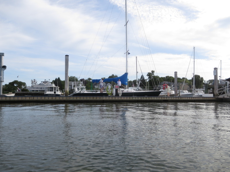

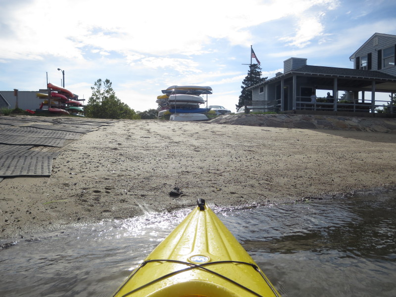 Landed on Island Wharf. Paddle time is 1 hour 40 minutes.
|


