 Kayaker

| |||||||||||||||||||||||


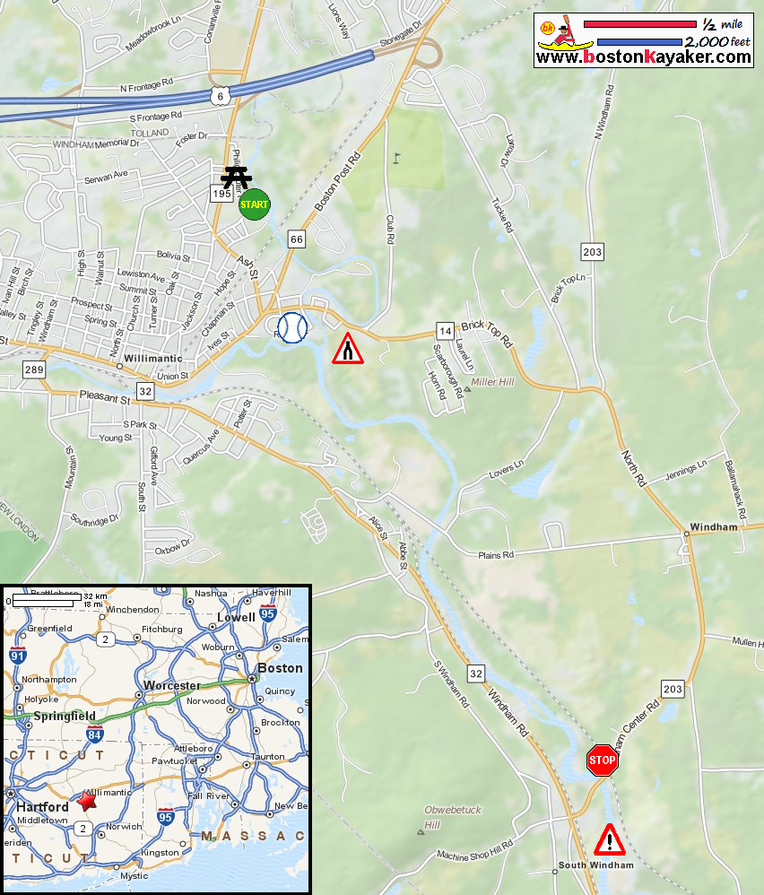


|
Download printer-friendly
PDF version that fits in one page: |

|
|
Other resources:
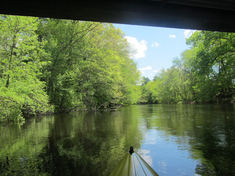
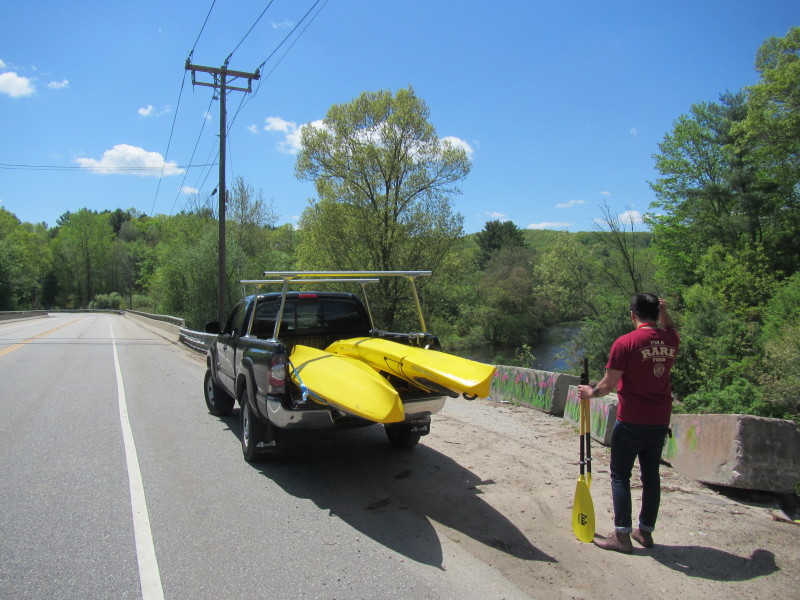
All photos in this website are original and copyrighted. 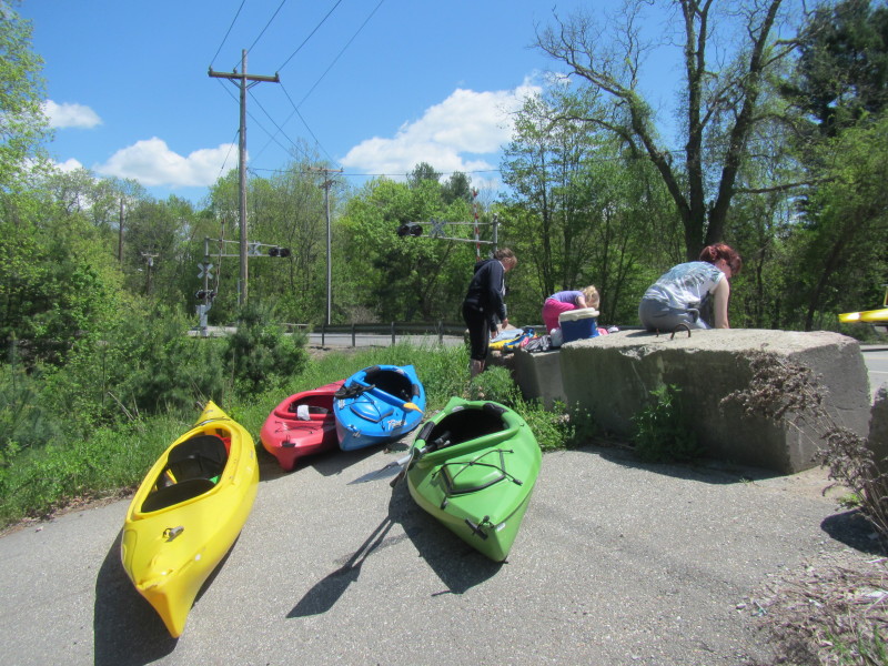 Scouting the takeout at the Route 203 bridge in Windham CT.
I just chatted with these group of kayakers who just finished kayaking the Shetucket. Trip date is May 2014. 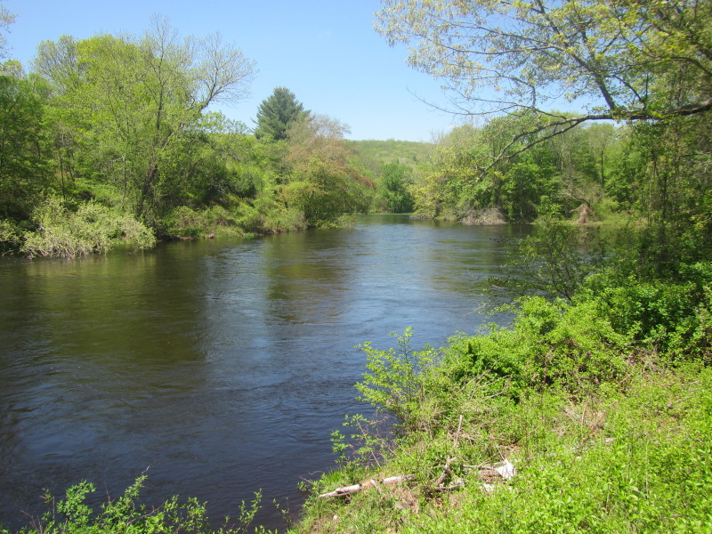 Looking upstream at the Shetucket River from the Route 203 takeout.
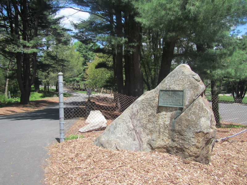 At the Lauter Park on Gordon Street in Willimantic CT.
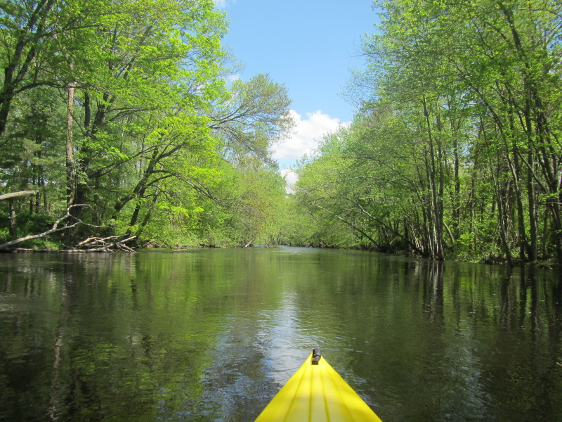
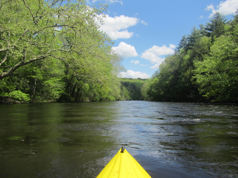
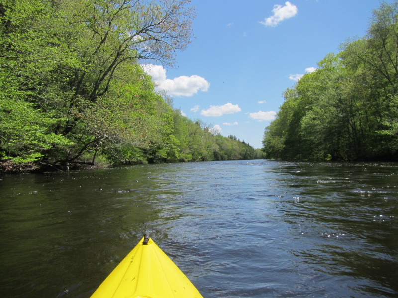
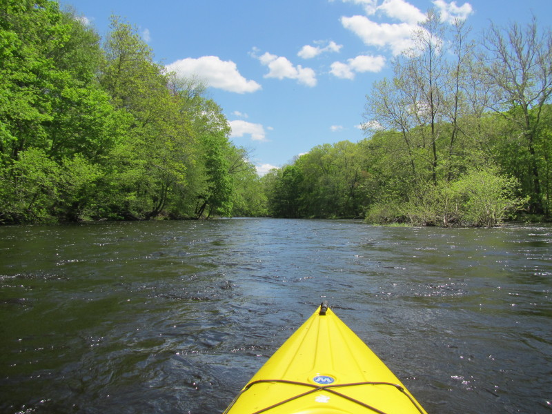
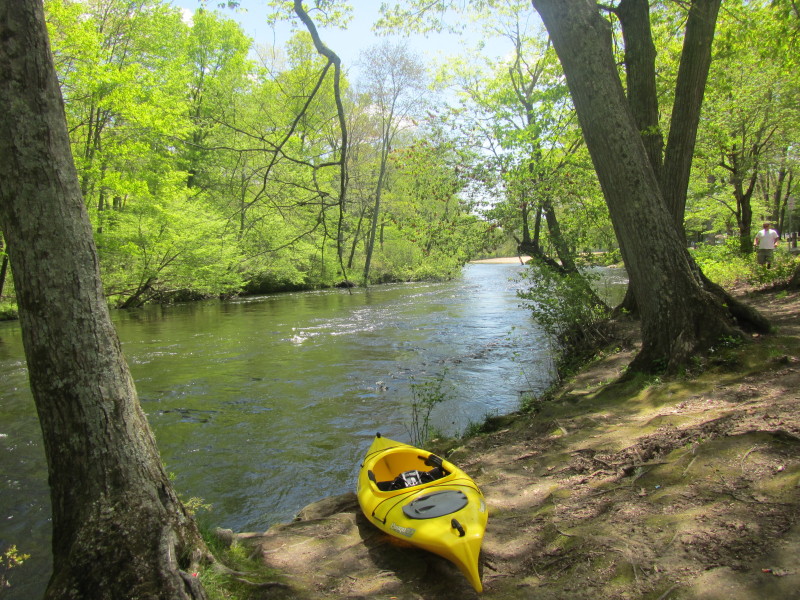 The launch into the Natchaug River at Philips Lauter Park.
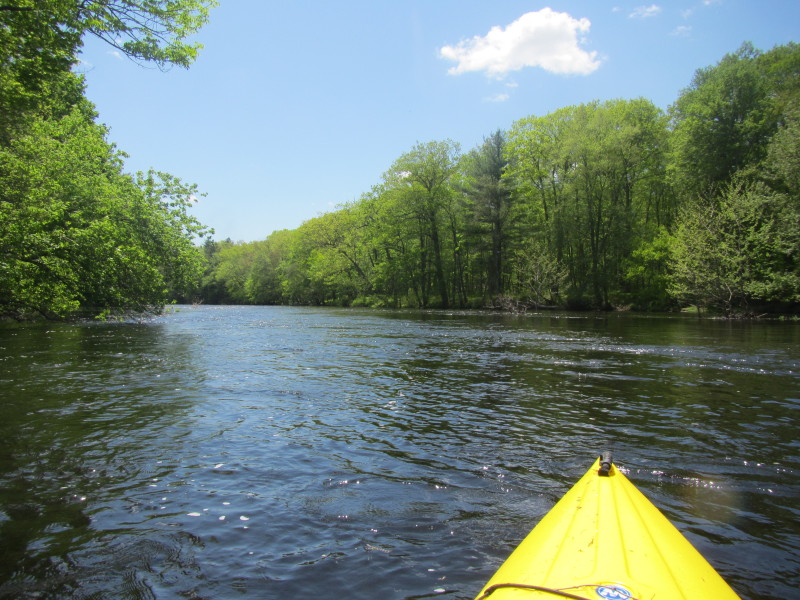
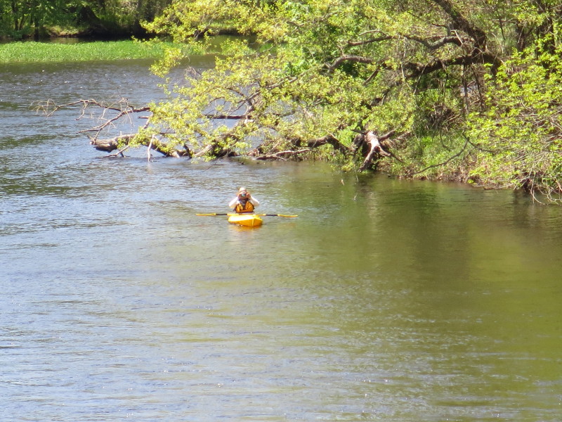
 The Boston Kayaker just launched into the Natchaug River from Lauter Park.
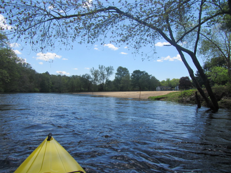 The beach at Lauter Park. Too early in the season for any swimmers.
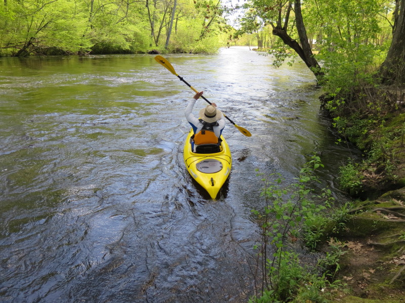
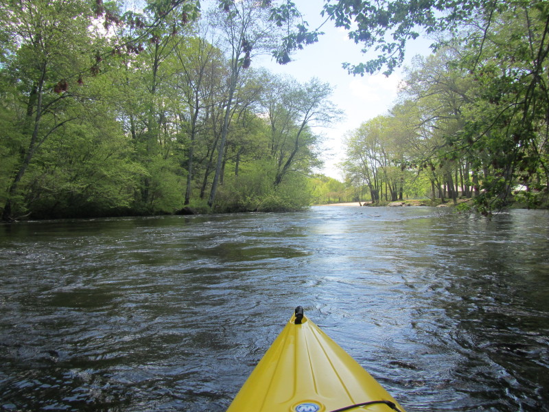
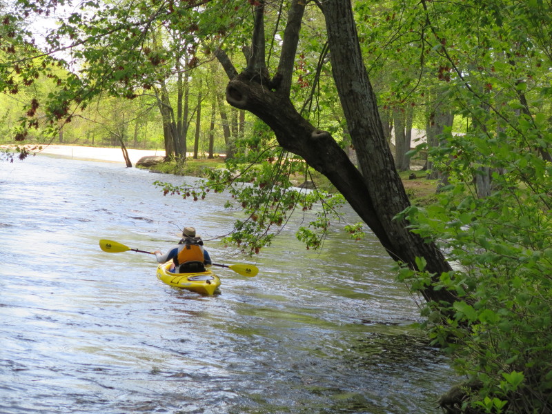
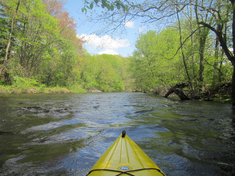
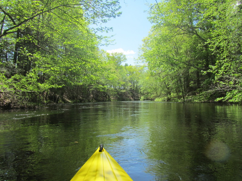
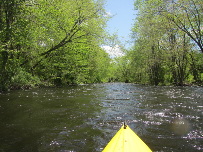
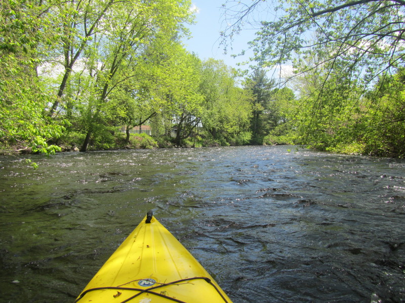
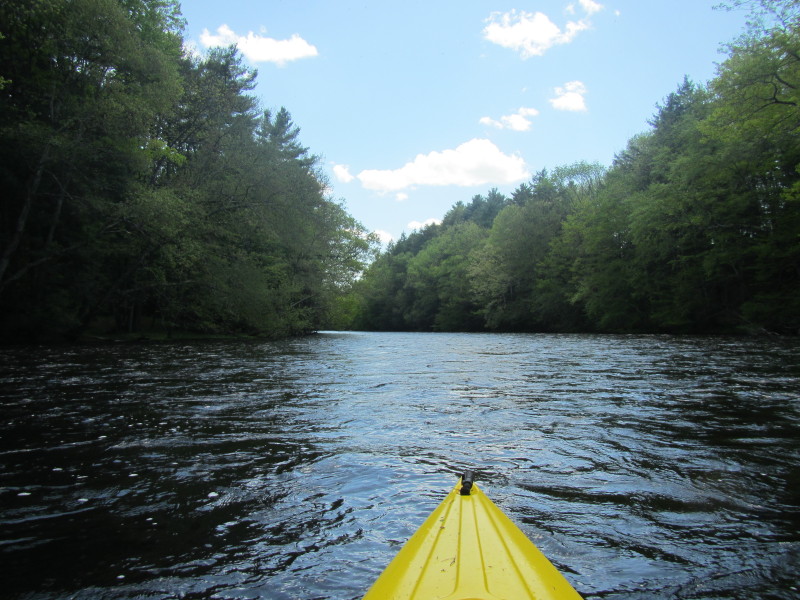
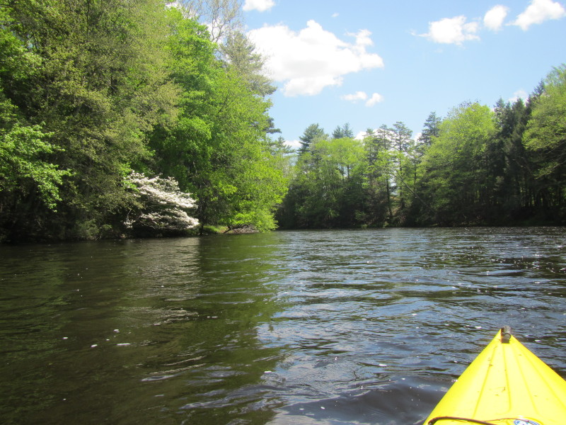
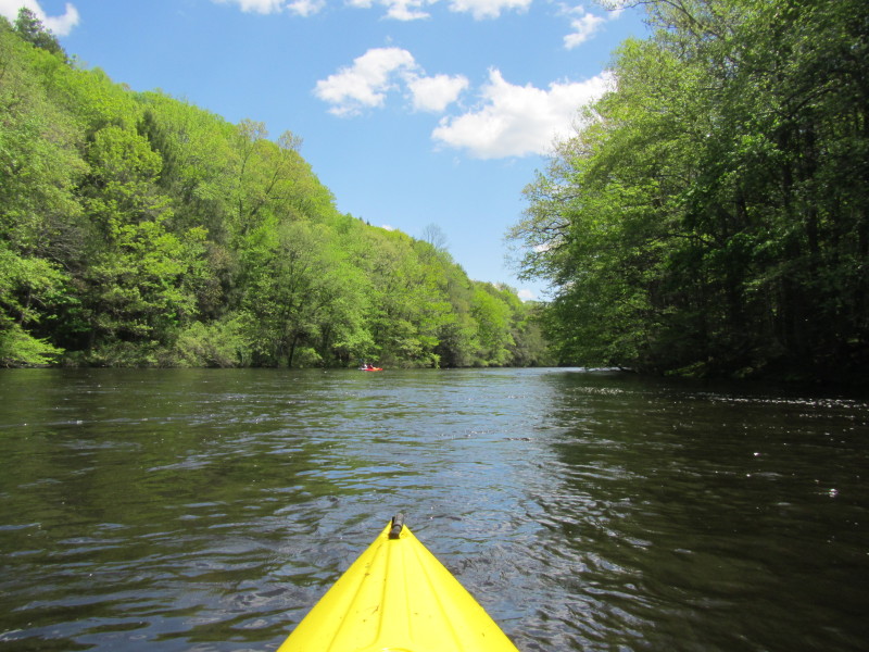
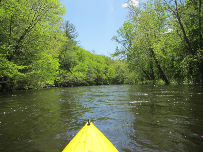
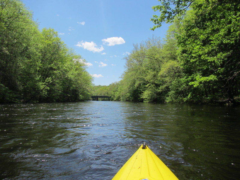
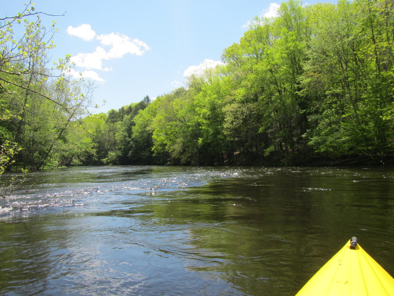
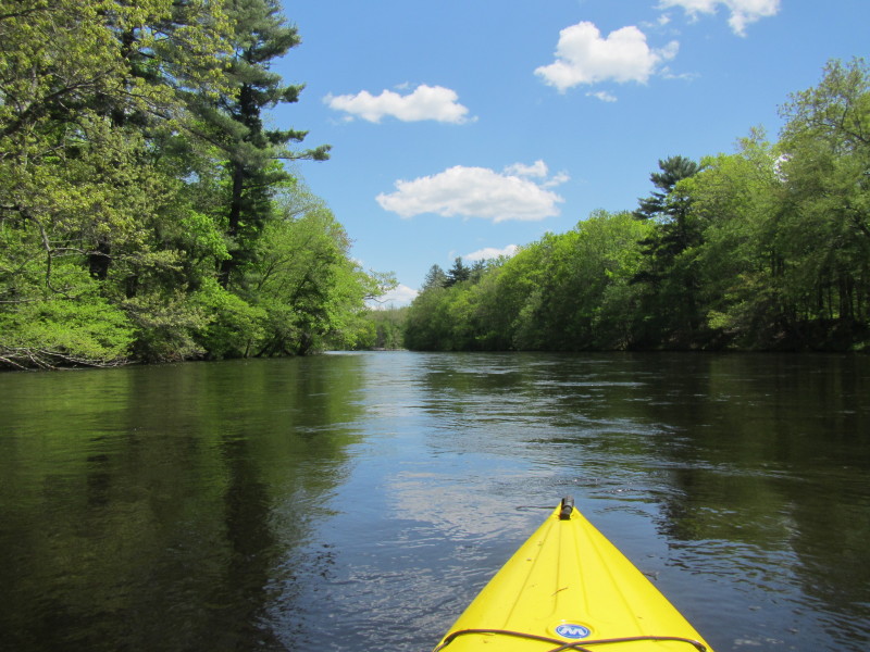
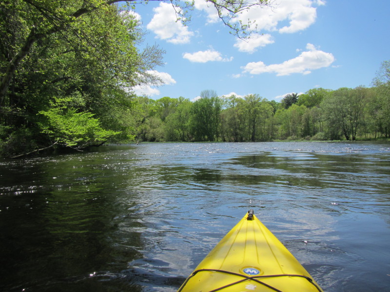
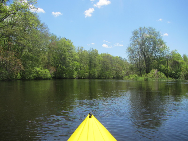 continuing southwards on Natchaug River.
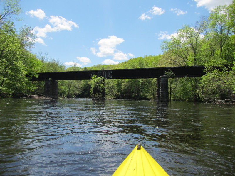
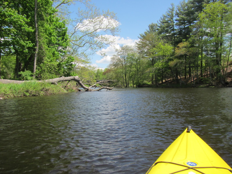
 Rail bridge over Natchaug River.
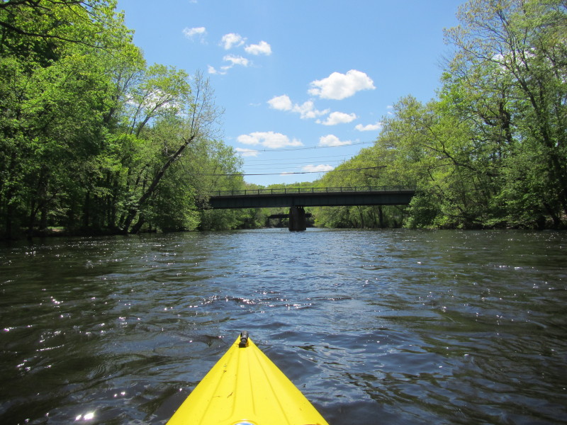
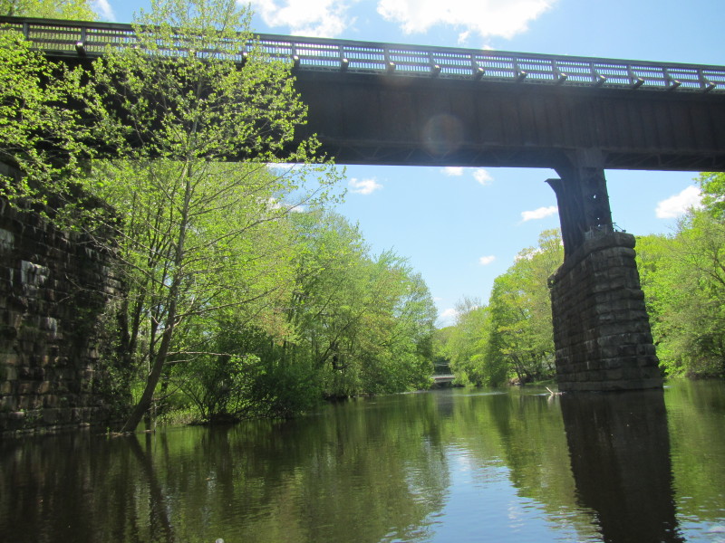 The rail bridge and the Route 66 bridge in the background.
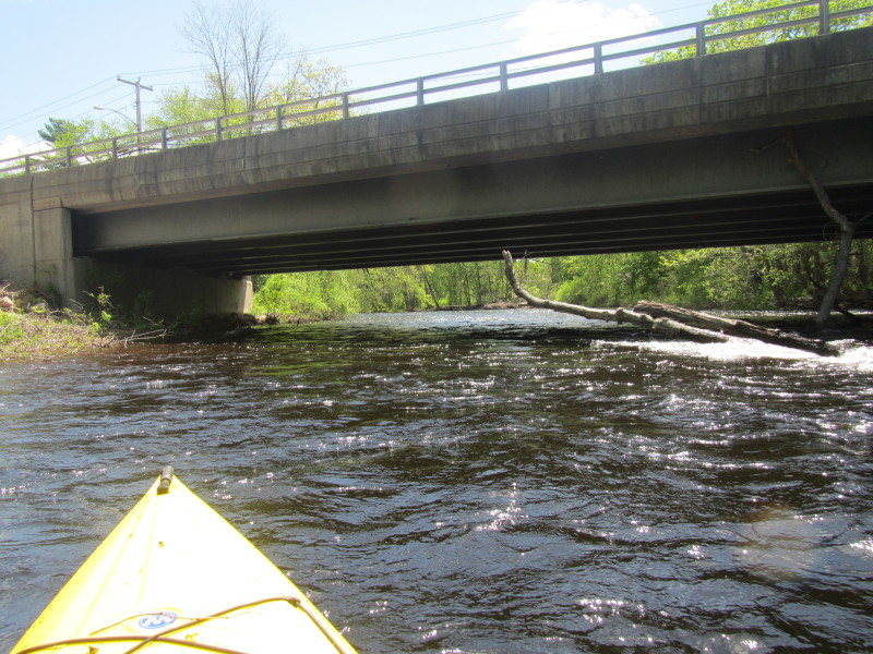
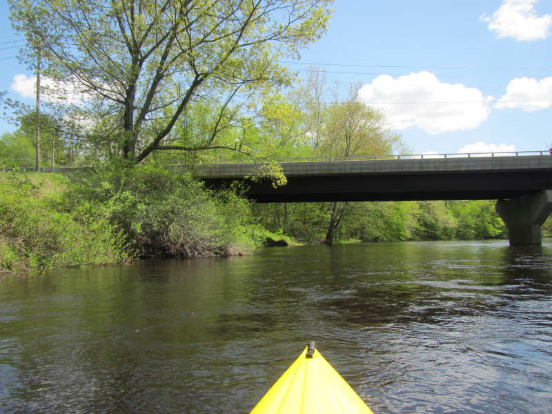
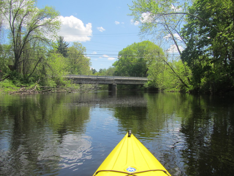 Route 66 bridge over the Natchaug River.
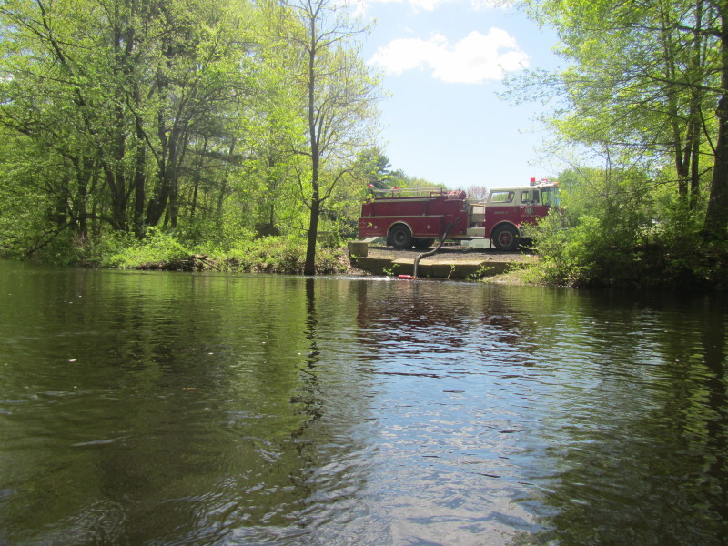 A fire truck. Not sure if he is pumping in our pumping out water . . .
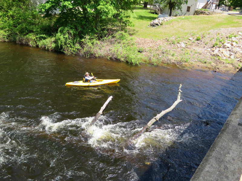
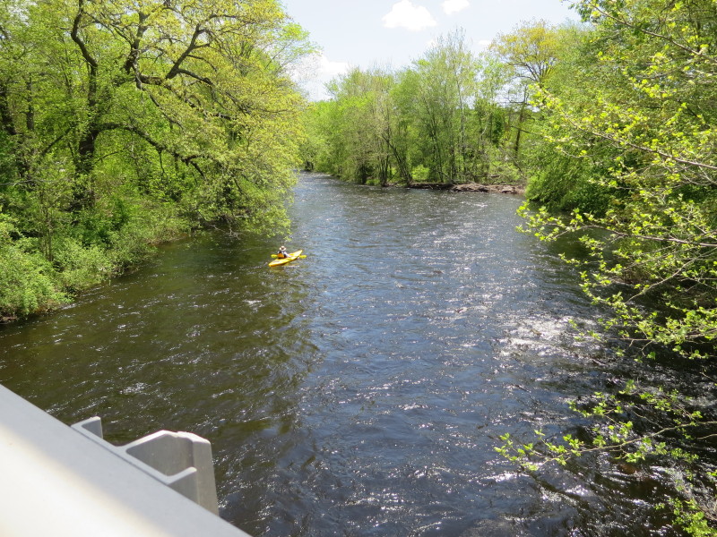
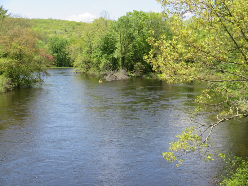
 The Boston Kayaker on Natchaug River viewed from the Route 14 bridge in Willimantic CT.
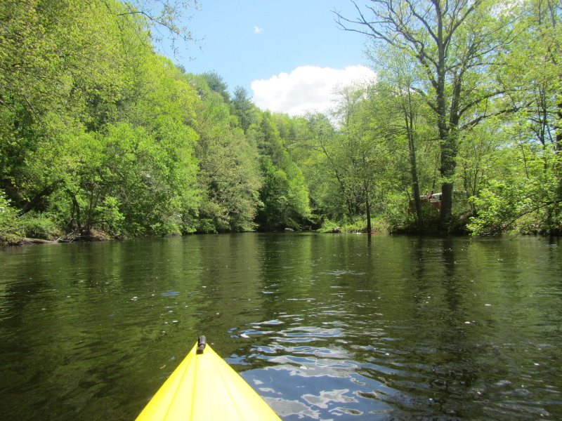
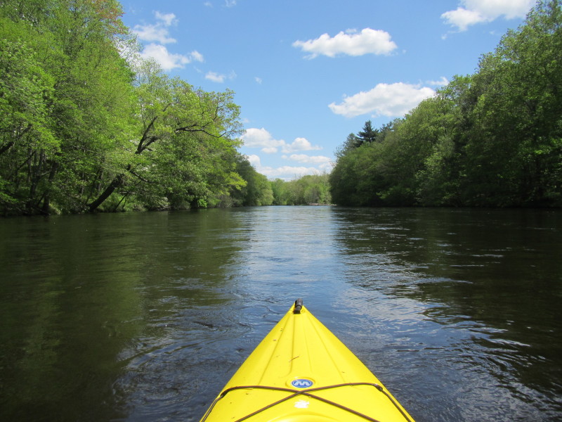
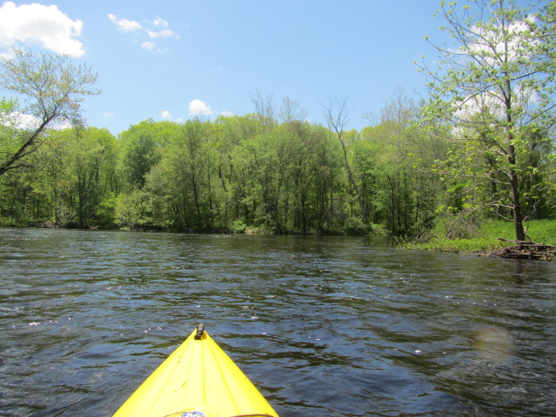 Right in front of me is the start of the Shetucket River.
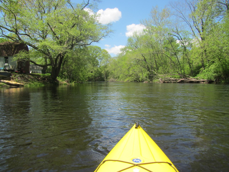
The Willimantic enters from the right joining the Natchaug where I am in and forming the Schetucket. 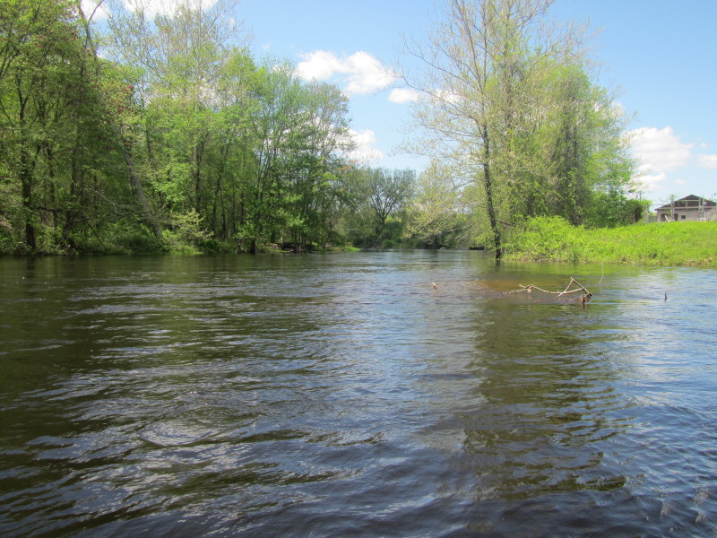
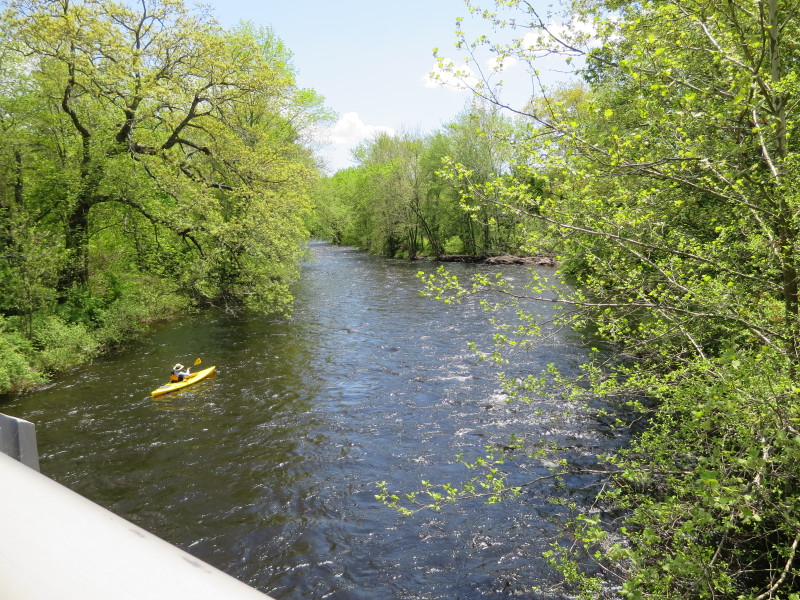
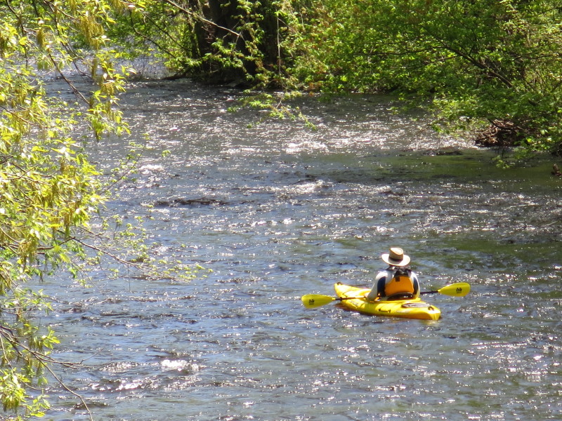
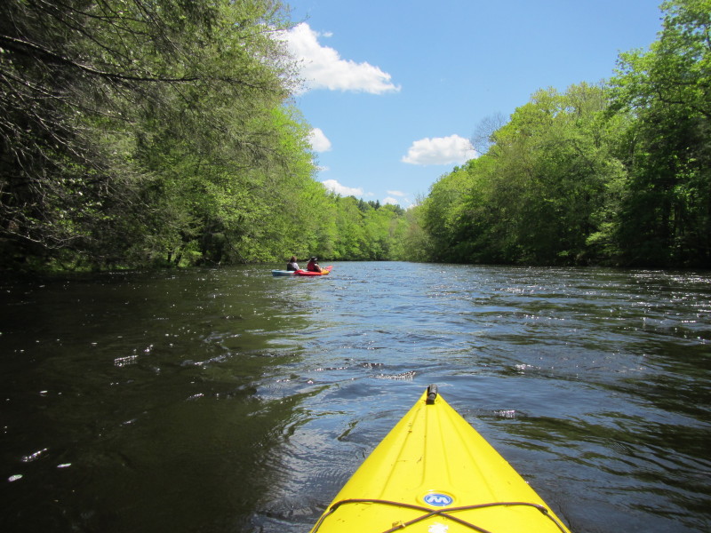
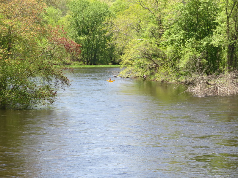
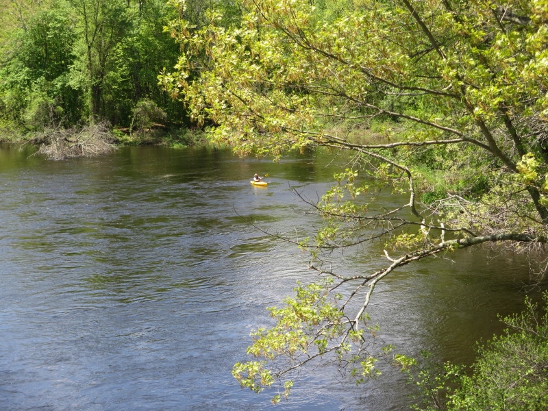
 A couple of kayakers on the Shetucket River.
 The Plains Road bridge.
 Right after passing under the Plains Road bridge is a rail bridge.
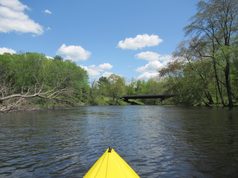
 I can see Route 203 bridge.
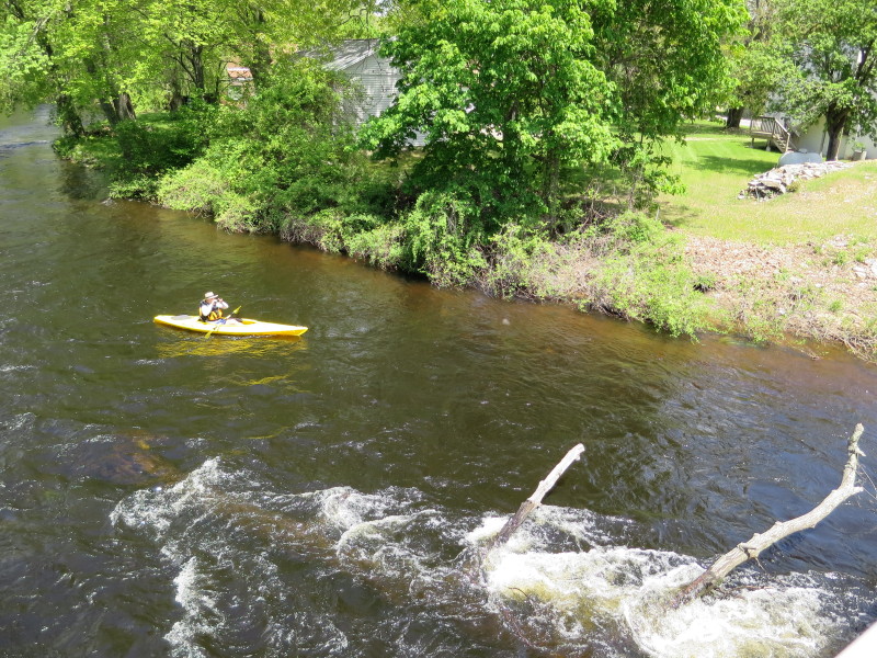
 The Boston Kayaker on Shetucket River approaching the Route 203 bridge in Windham CT.
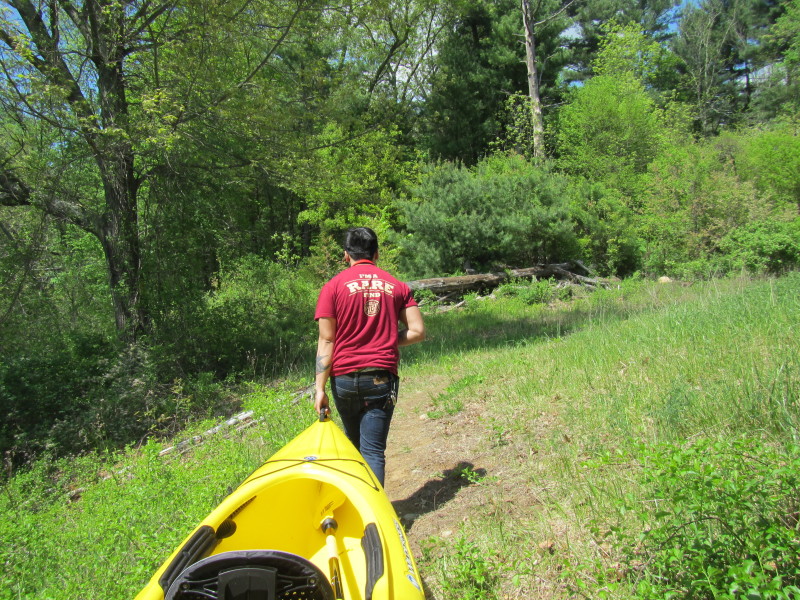
Take out is right under the bridge on left. 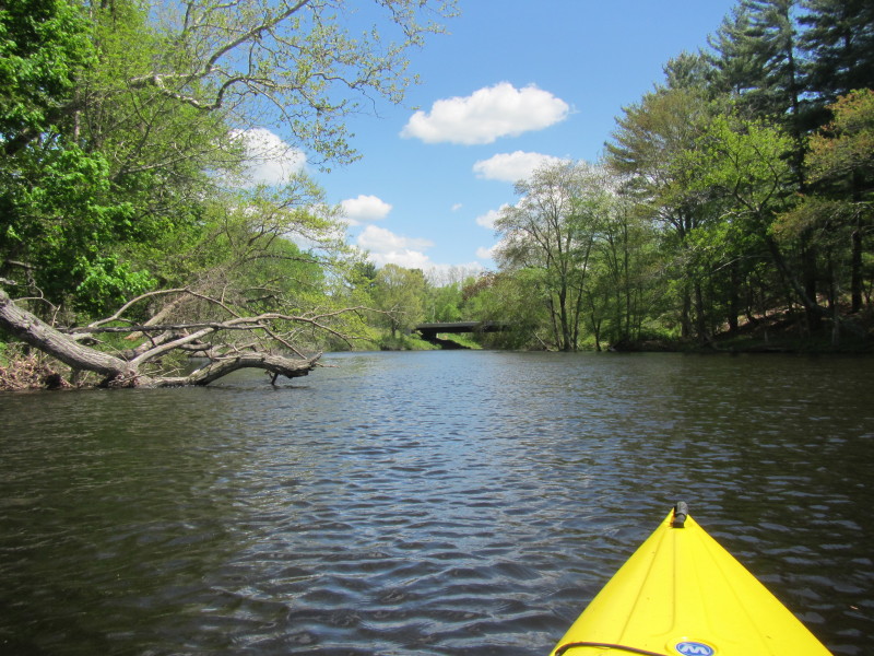

 Veering to my left (right of picture).
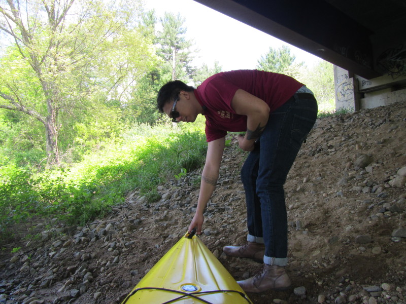
 On Route 203 bridge takeout in Windham CT.
Based on the timestamps of the photos, I paddled this route in exactly 60 minutes (1 hour). |