 Kayaker

| |||||||||||||||||||||||


|
Download printer-friendly
PDF version that fits in one page: |

|
|
Other resources:
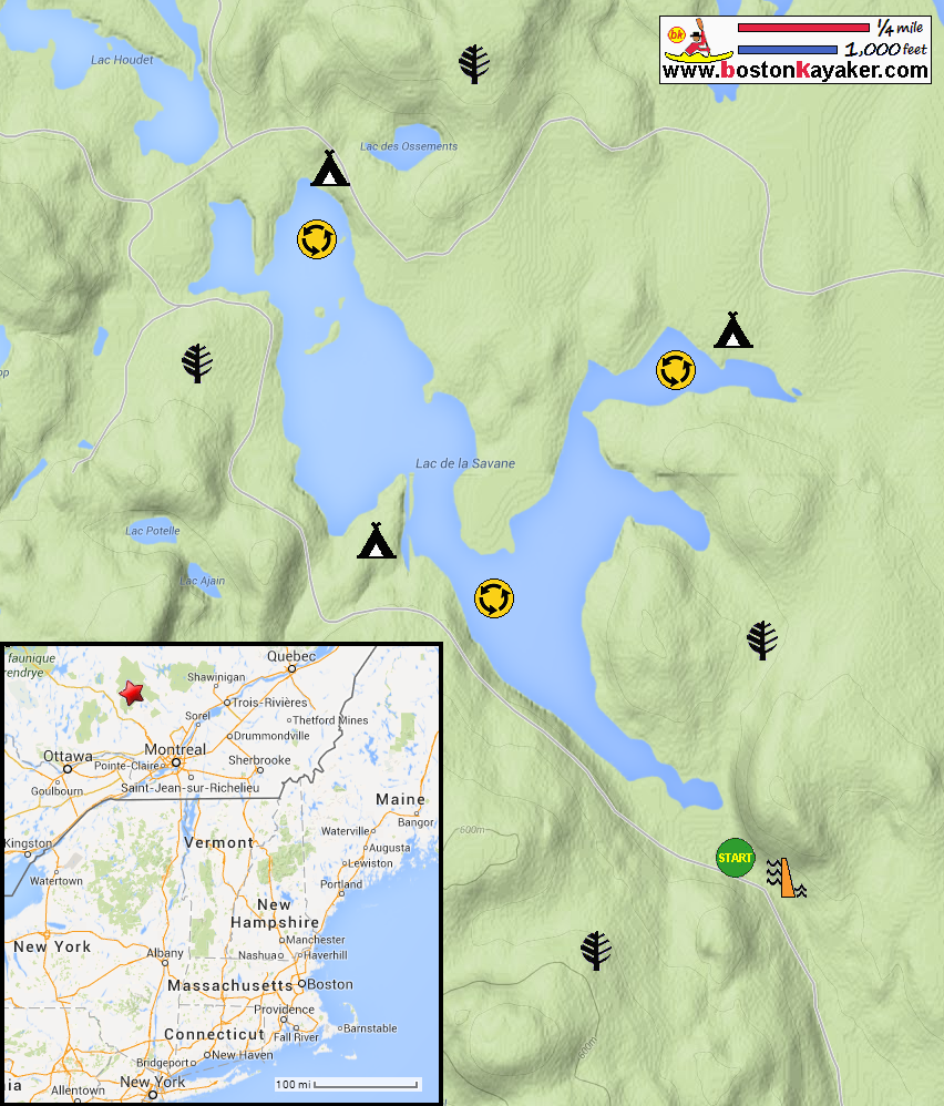
Parc national du Mont-Tremblant Map Parc national du Mont-Tremblant All photos in this website are original and copyrighted. 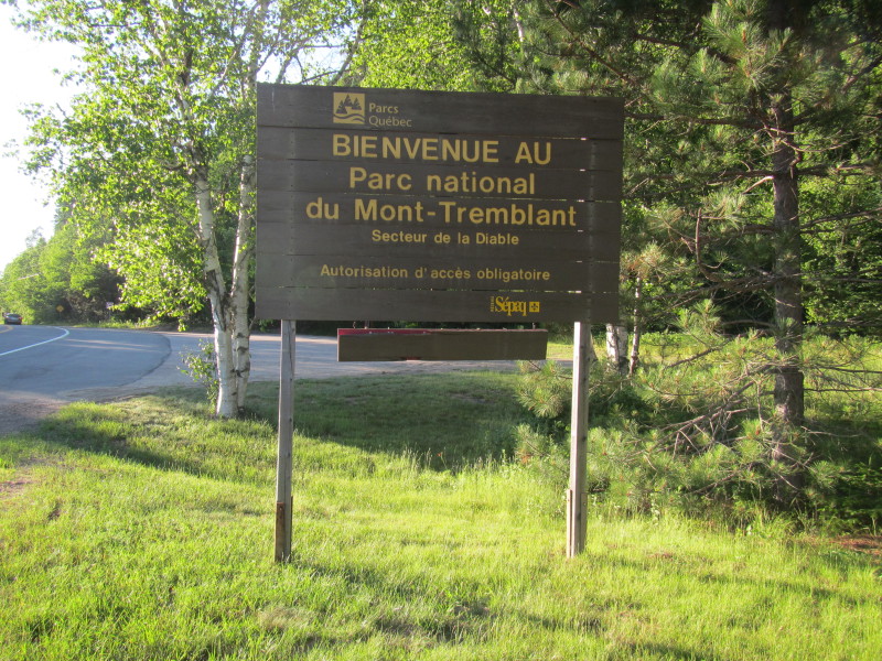 At Parc national du Mont-Tremblant.
Trip date is July 2014. 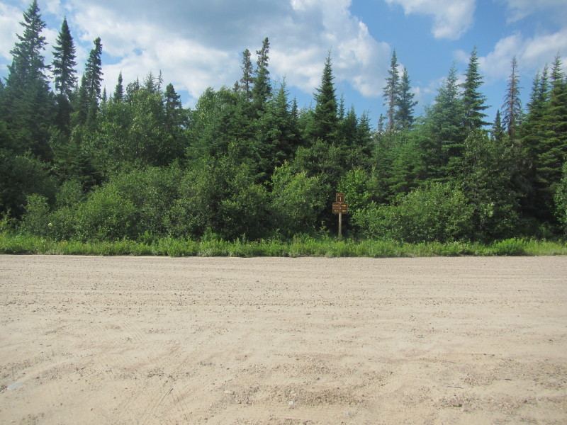 Driving north on Route 1 inside Parc national du Mont-Tremblant.
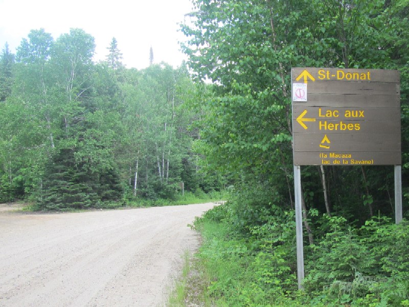
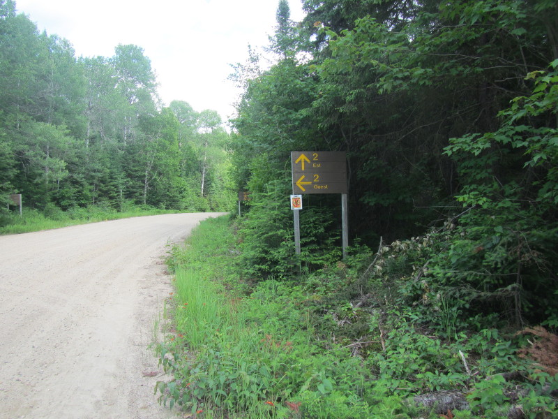 Unbeknowst to the American mapmakers GoogleMap and MapQuest that labels
the road to Lake de la Savane as an "unnamed road", this unpaved road
clearly has a name. Turn to left to Lake de la Savane is Route 2 Ouest (West).
Unbeknowst to the American mapmakers GoogleMap and MapQuest that labels
the road to Lake de la Savane as an "unnamed road", this unpaved road
clearly has a name. Turn to left to Lake de la Savane is Route 2 Ouest (West).
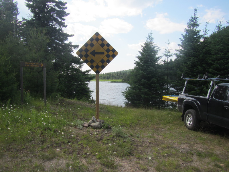 The put in is next to Barrage du Lac Savane (Lake Savane Dam).
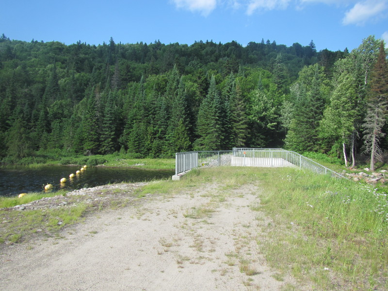 Barrage du Lac Savane.
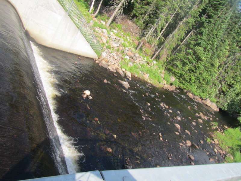
 From the put in, the dam is on the right.
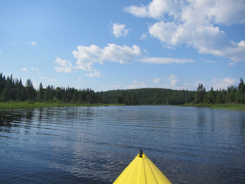
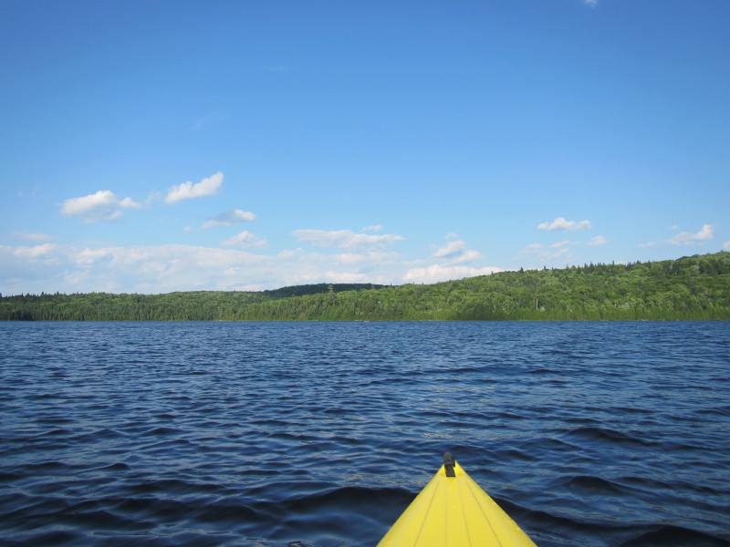
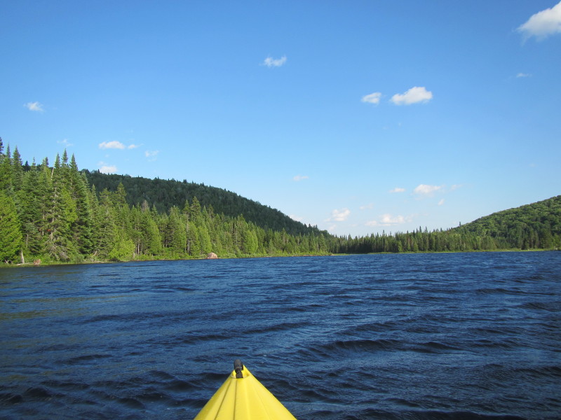
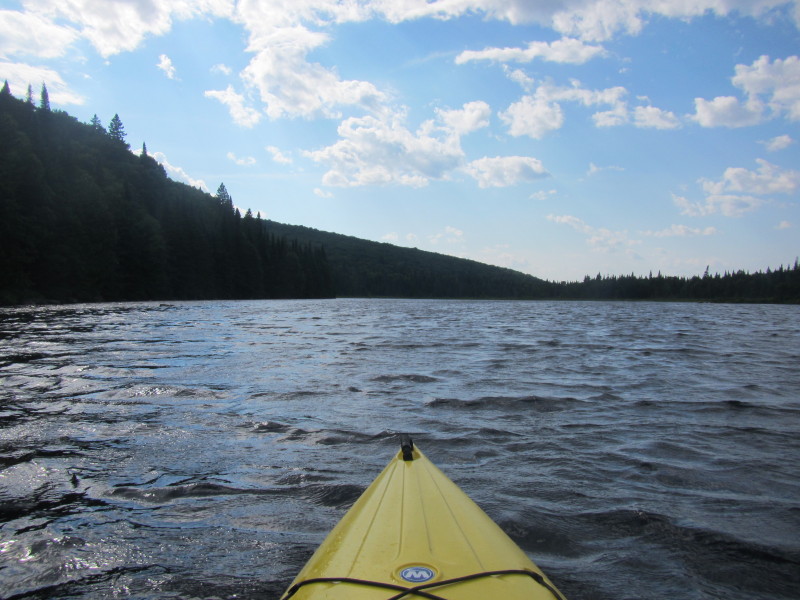 The Boston Kayaker just launched on Lac Savane in La Macaza, Québec.
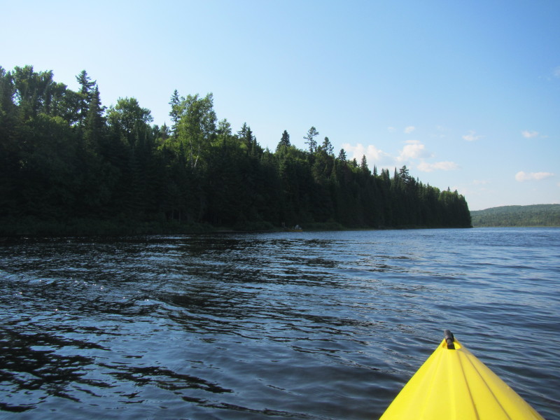
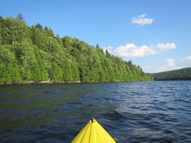
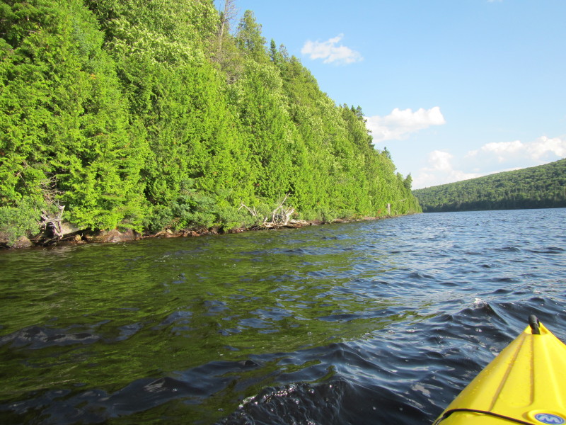
 Paddling north along the western shore on my left.
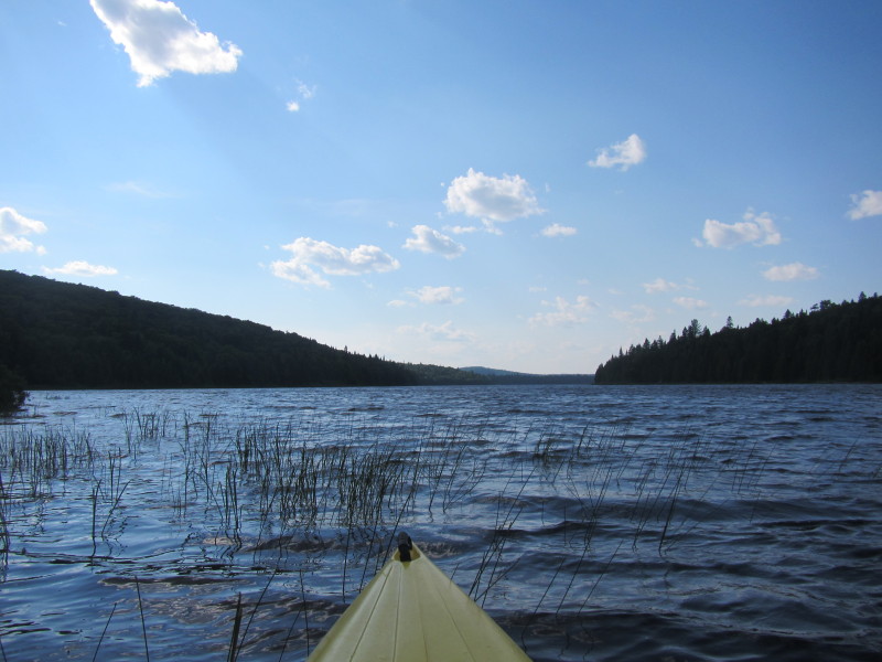
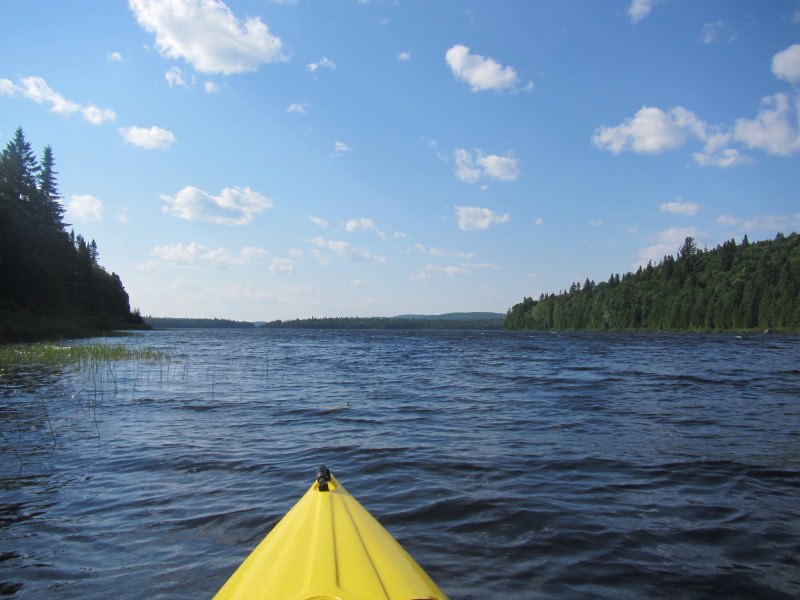
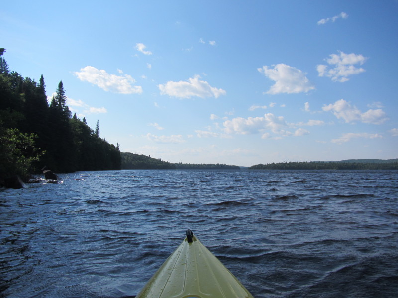
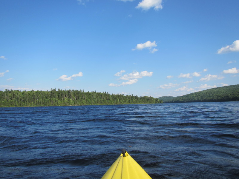
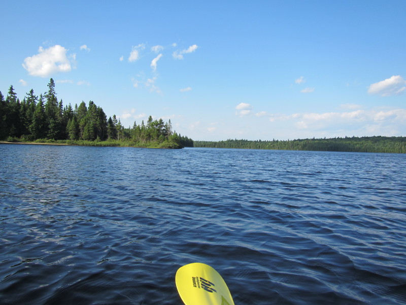
 Just got out of the narrow launch cove.
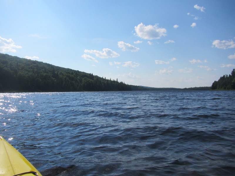
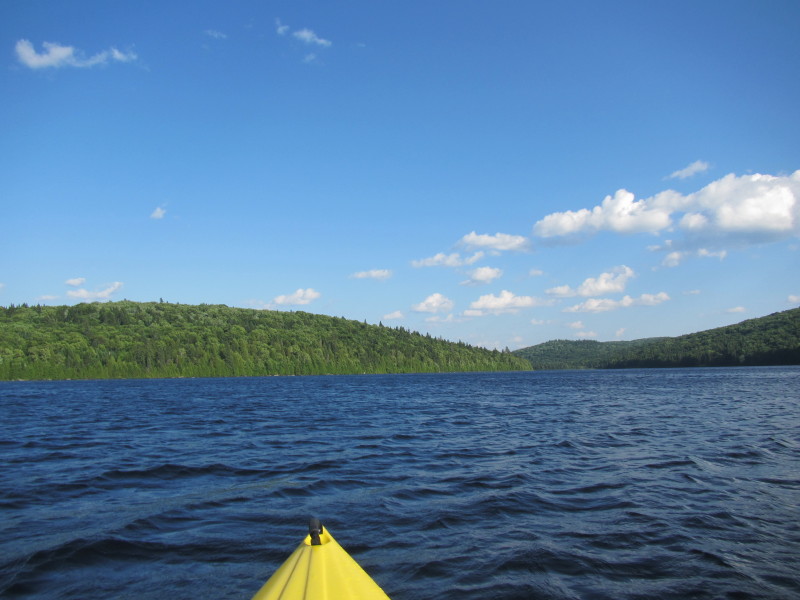
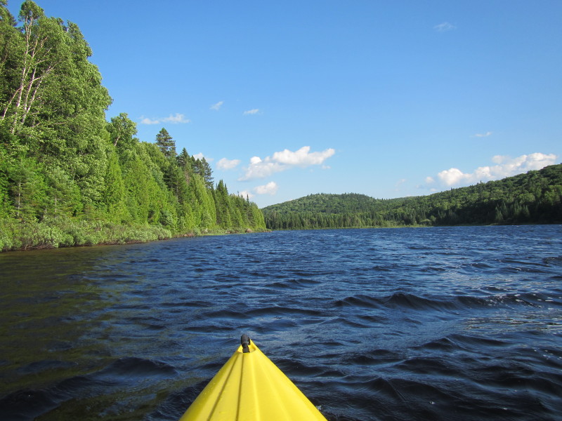
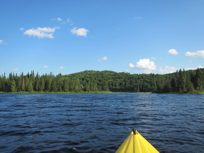
Veering to my left to stay close to shore. 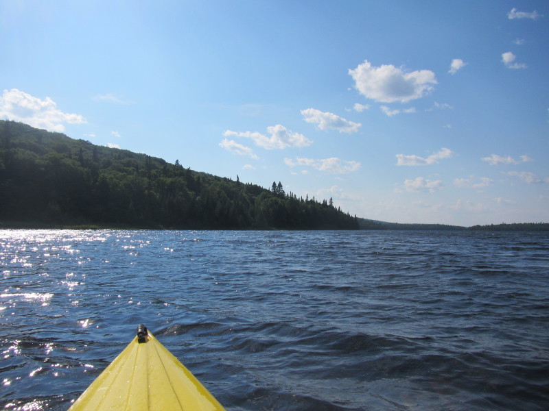
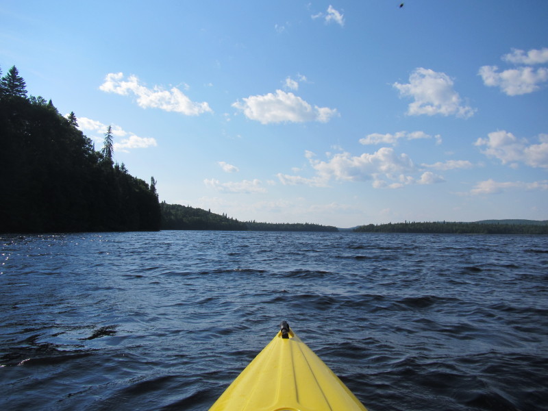
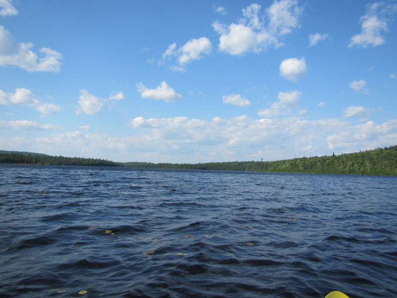
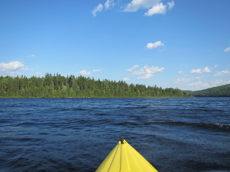
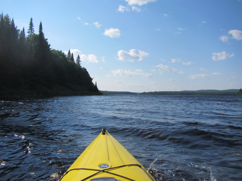 Wind is blowing on my face and creating 1-foot waves.
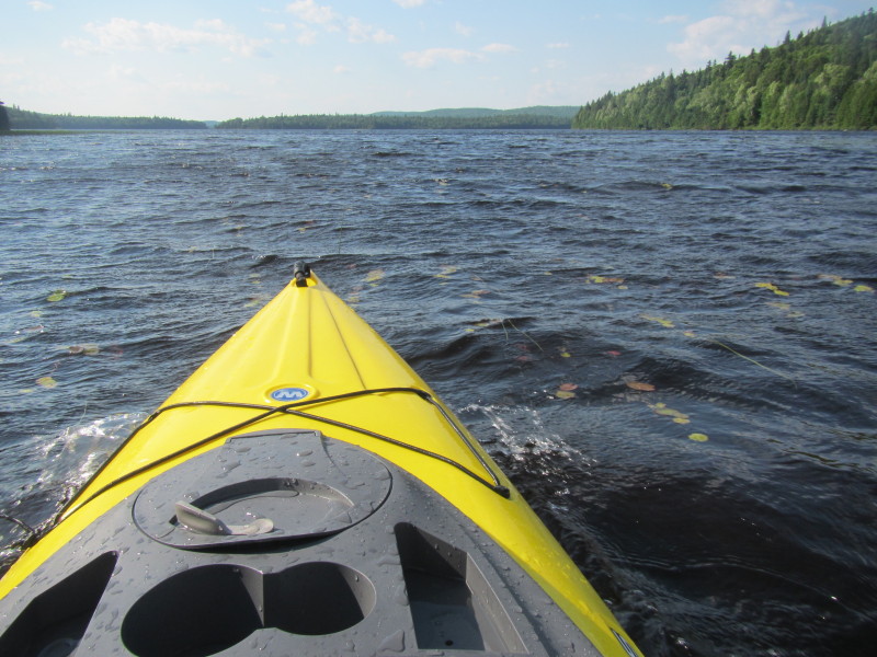
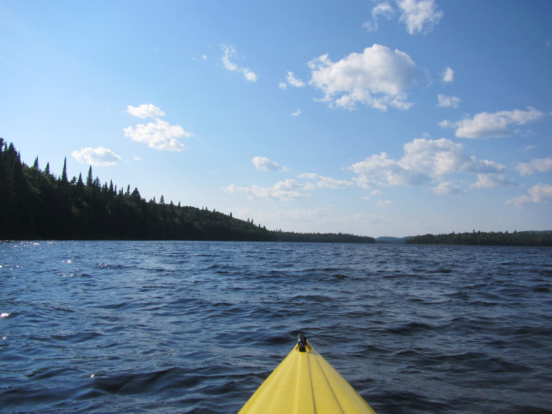
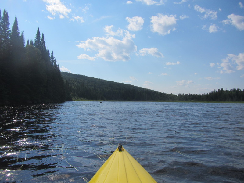
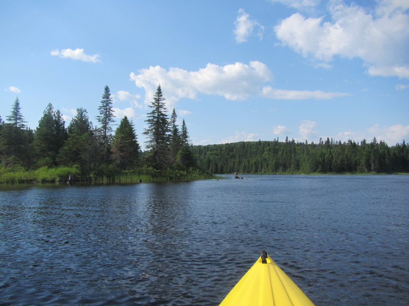
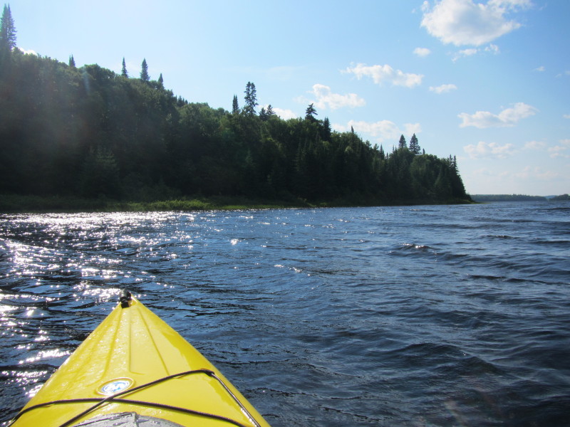
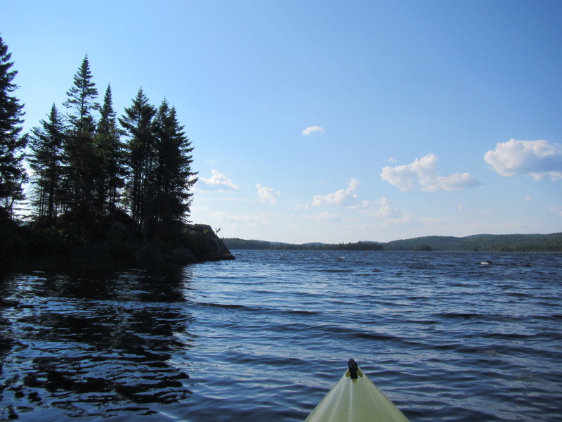
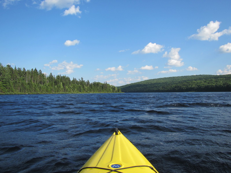
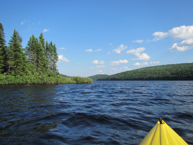
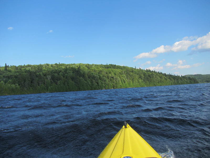
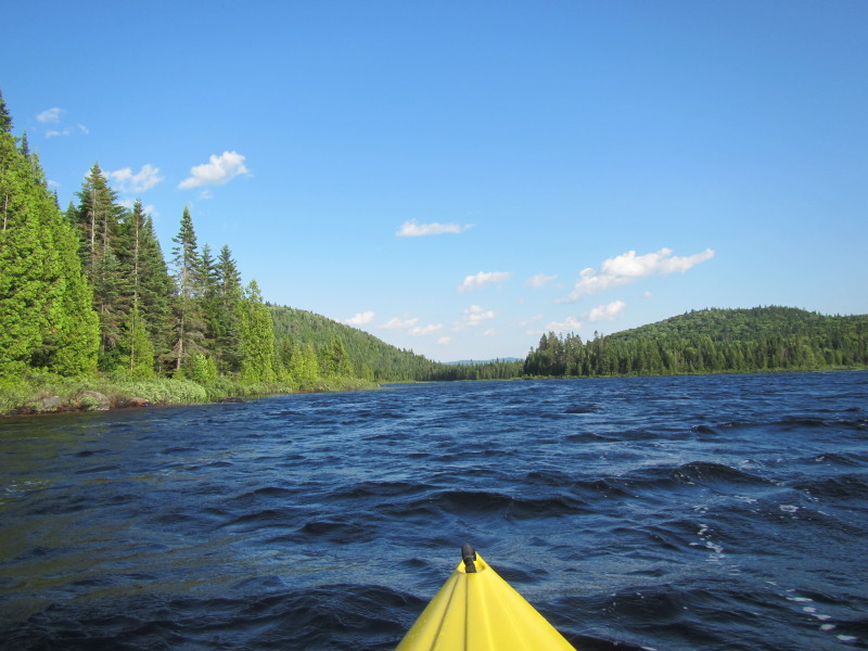
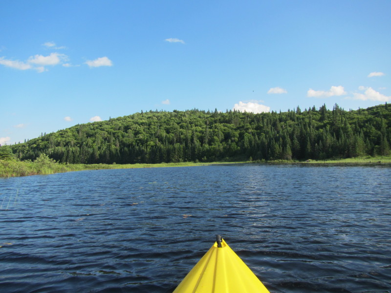
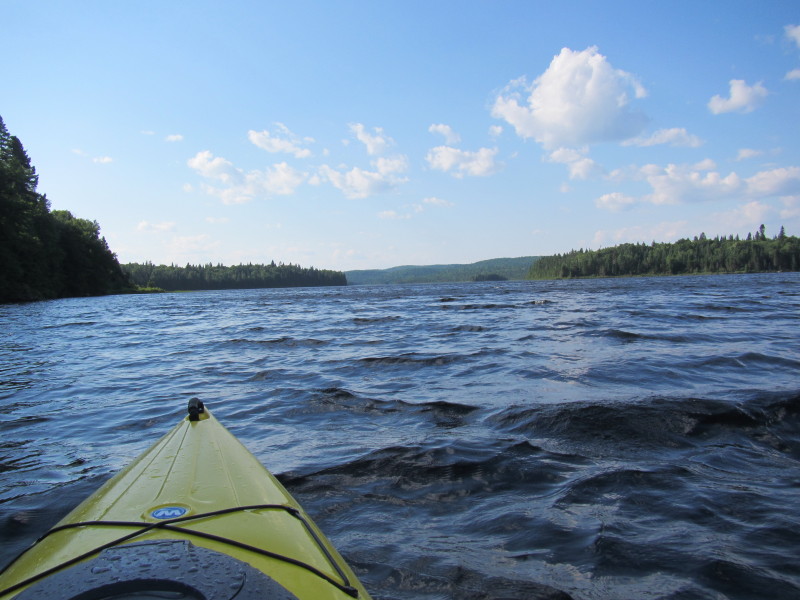 Past that jutting land from the left is the northwestern arm of Lac Savane.
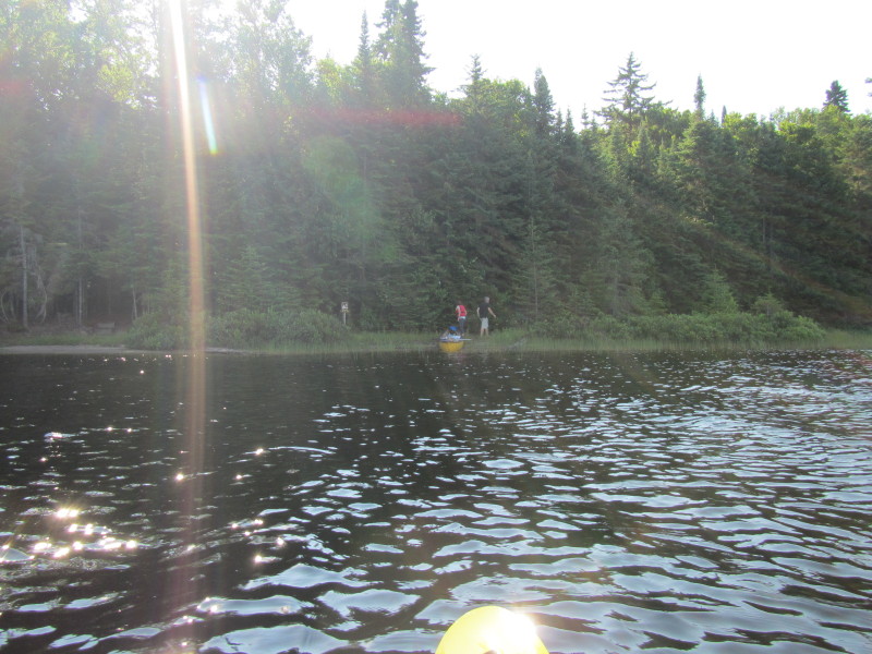
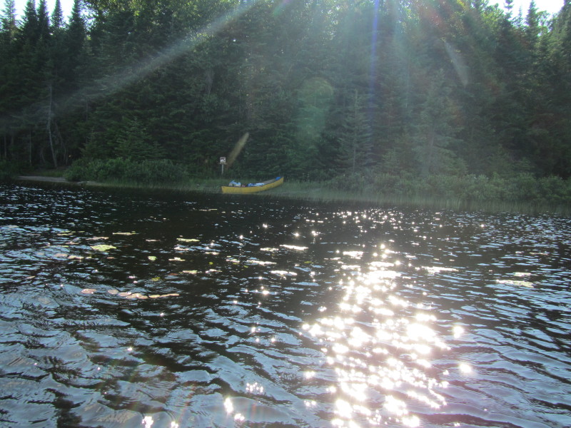
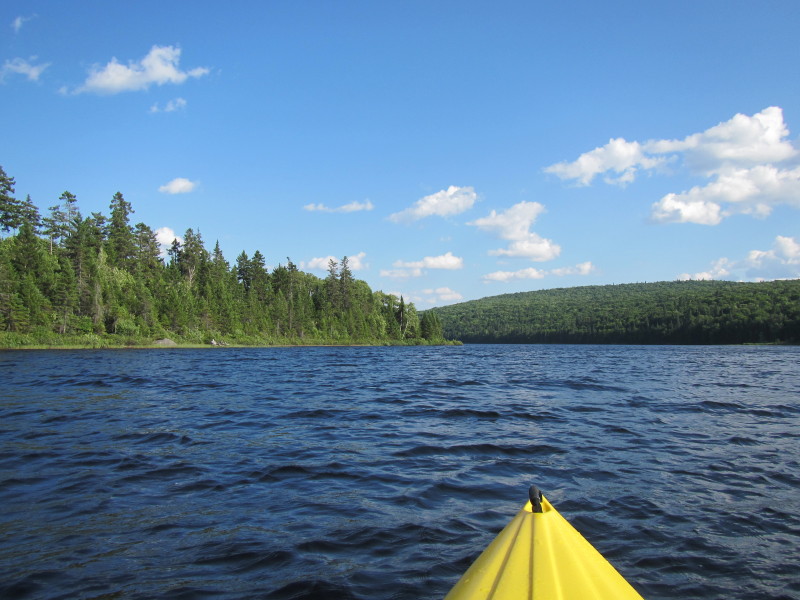
 I see a couple in a yellow canoe.
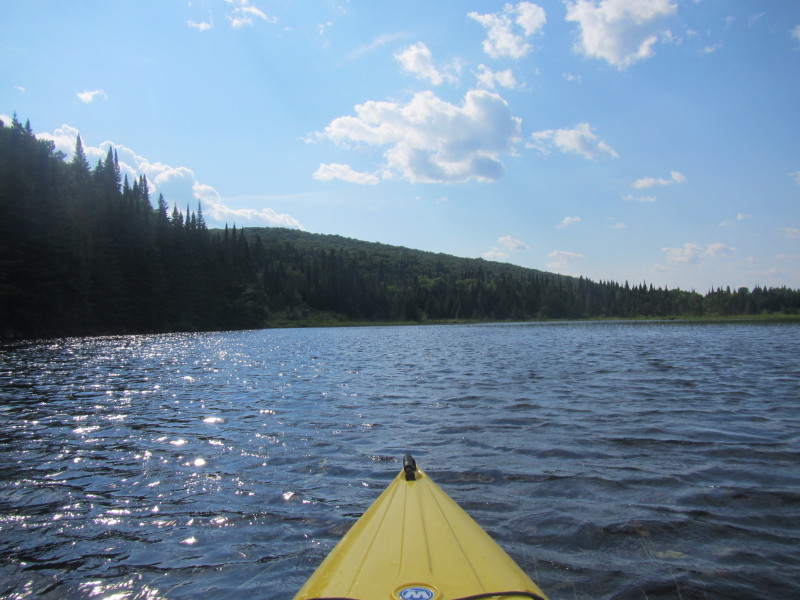
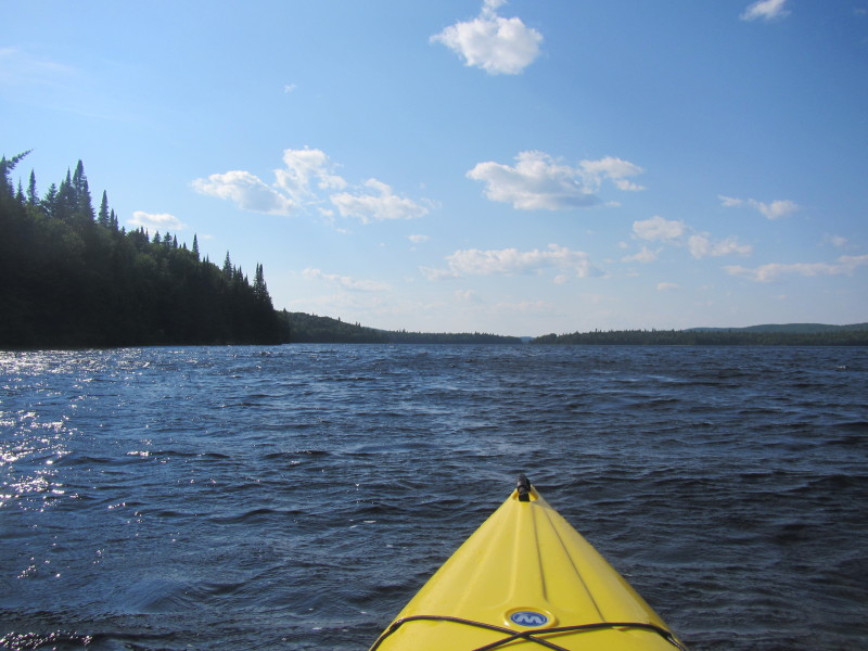
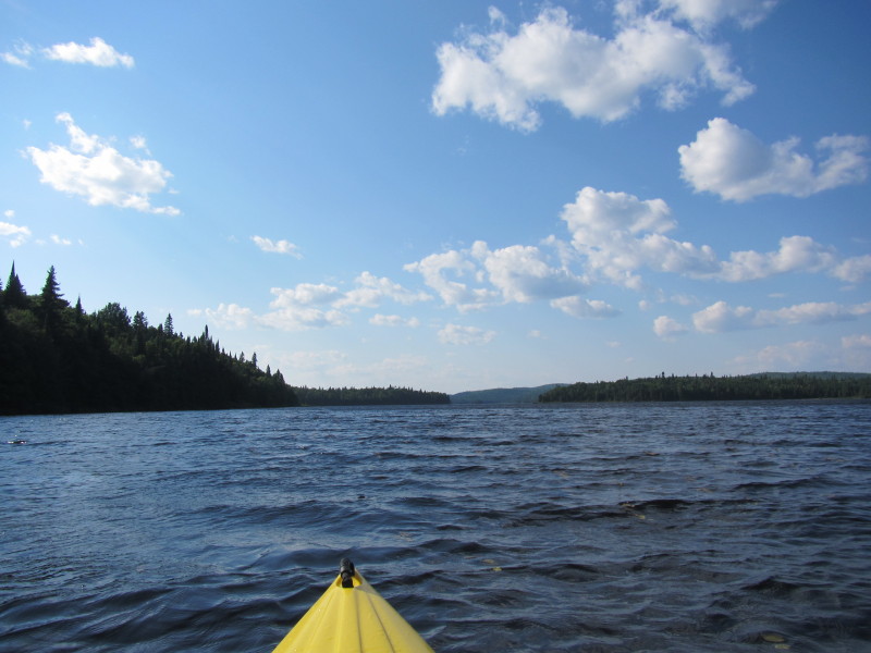
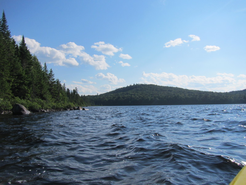
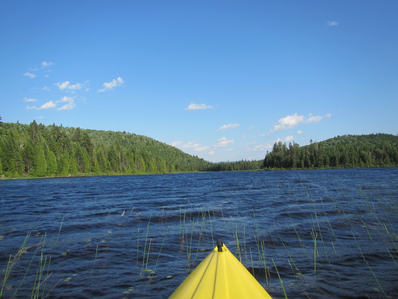
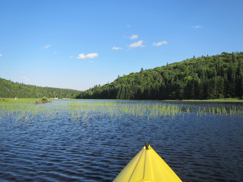
 Where I am, I can see the calmer water near me (behind this jutting land) and the choppy waters just
in front of me exposed to the winds of the wider northwestern cove of Lac Savane.
Where I am, I can see the calmer water near me (behind this jutting land) and the choppy waters just
in front of me exposed to the winds of the wider northwestern cove of Lac Savane.
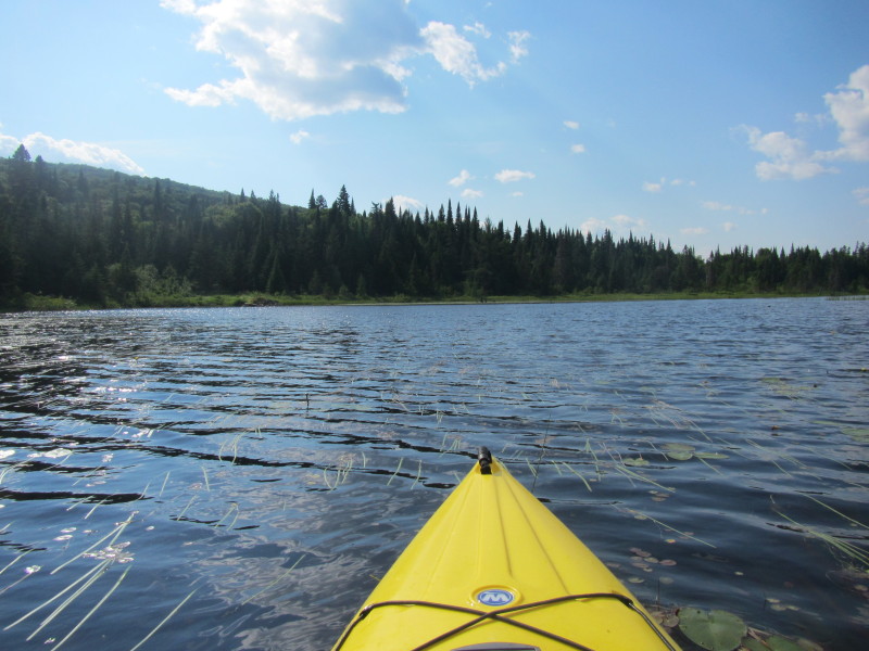
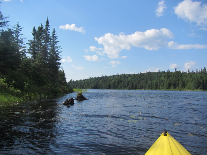
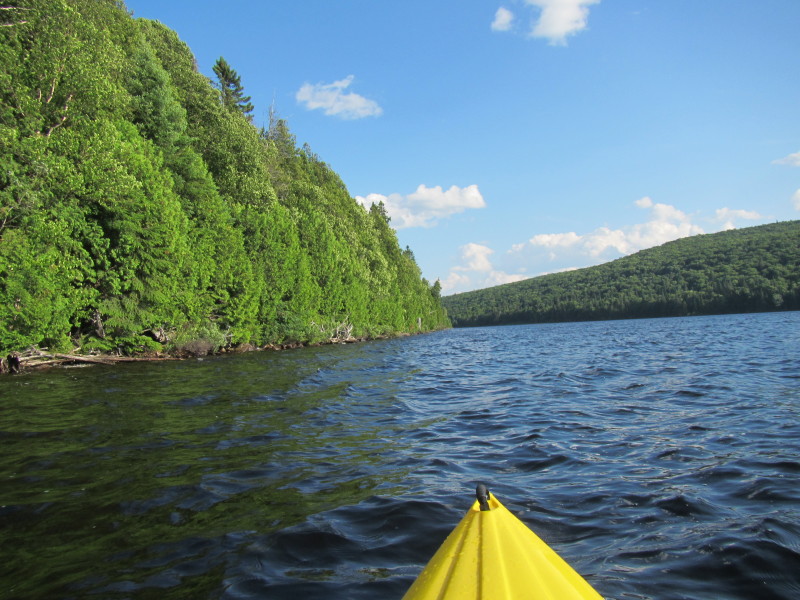
 I just went past that peninsula to have a peek at the Lac Savane's northwestern cove.
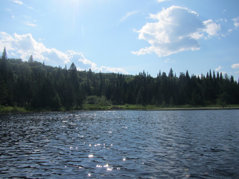
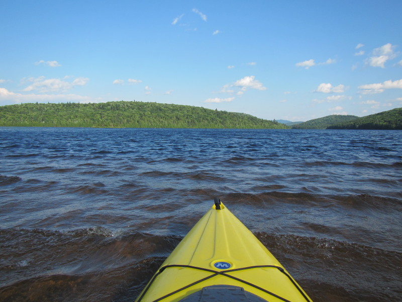
Waters here is very choppy and very different just 20 feet or so south of here behind the protective penuinsula. 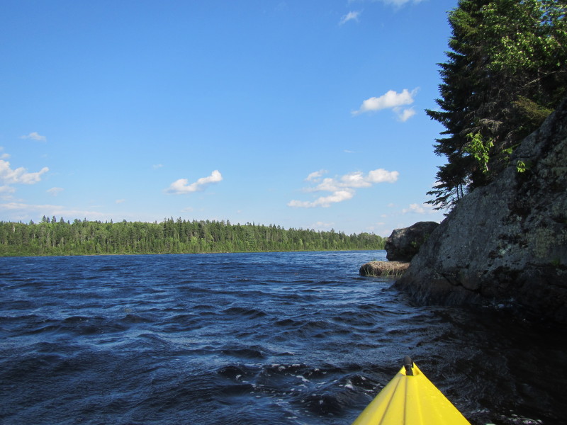 Just turned around and now facing southeasterly.
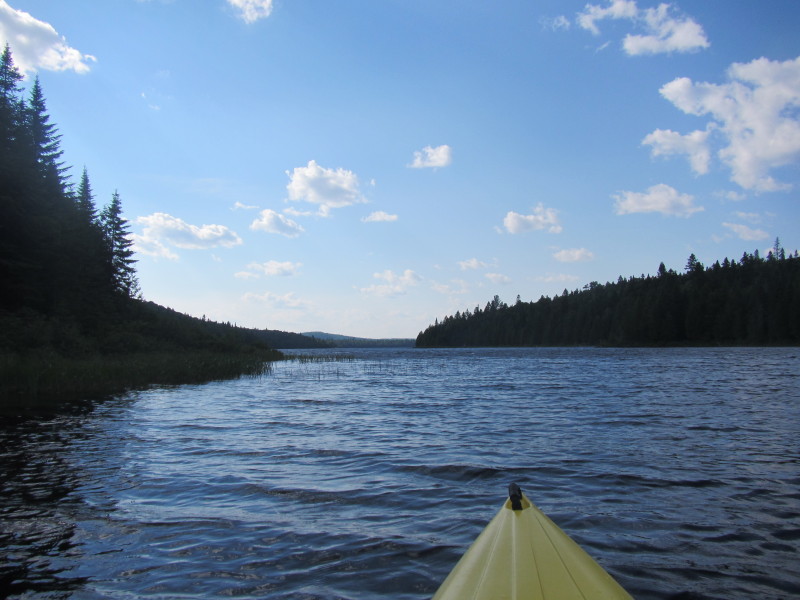
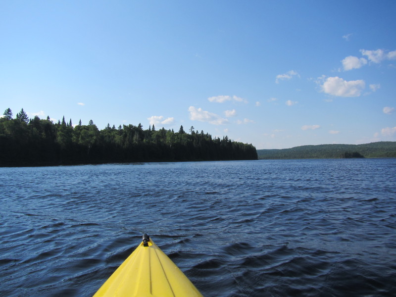
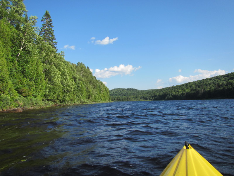
 I decided that from here, I will paddle straight to the eastern shore and hug the eastern shore southwards from there.
 Getting close to the eastern shore, veering a little bit right/southwards.
 Now paddling southwards.
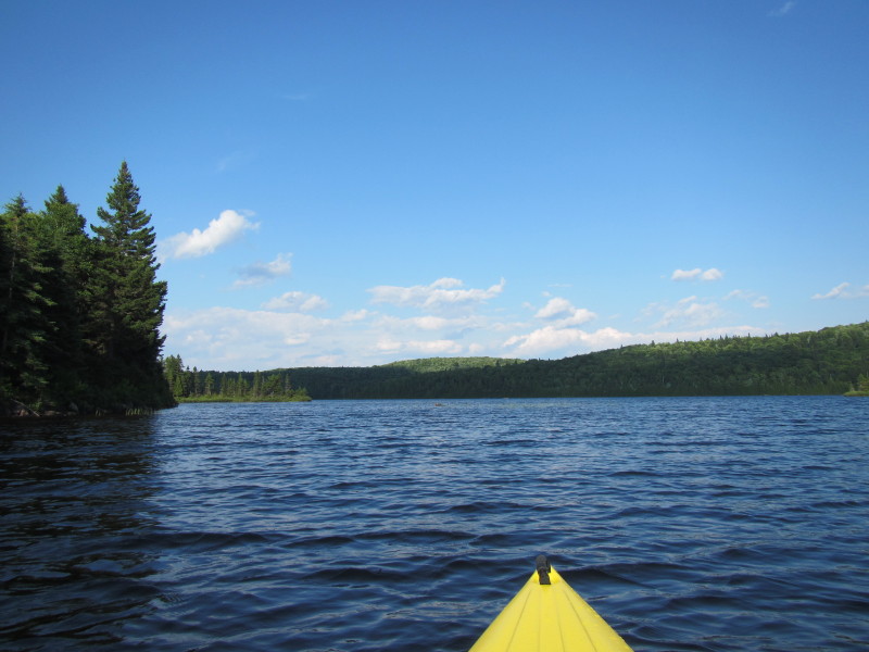
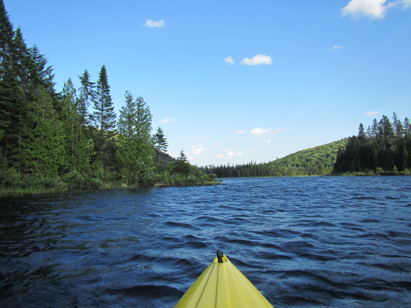
 Behing this peninsula jutting from the left is the northeastern arm of Lac Savane.
 Past the peninsula, to my left is the north eastern cove of Lac Savane.
 I will skip this whole north eastern arm and paddle straight across the lake to the eastern shore below the cove.
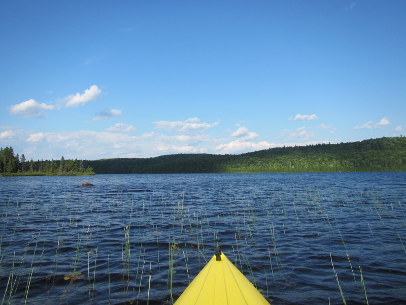
 To my left is the north eastern cove of Lac Savane.
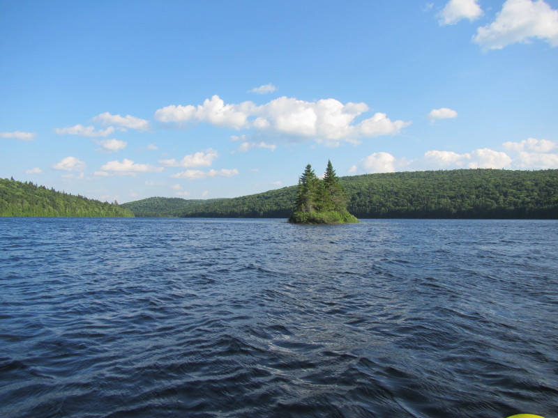
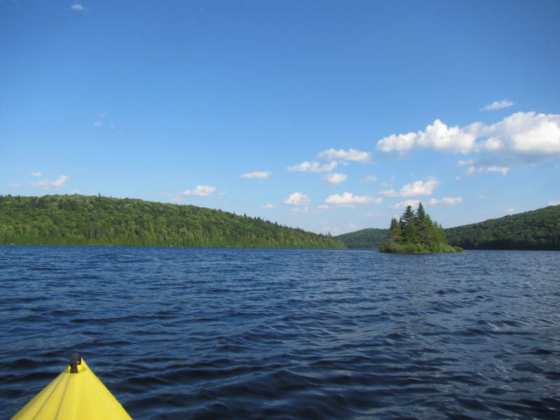 This island on my right was my marker. It is located on the entrance to the north eastern arm.
 I am now paddling past this island marker (unseen to my right) in a southeast direction to get to the eastern shore of Lac Savane.
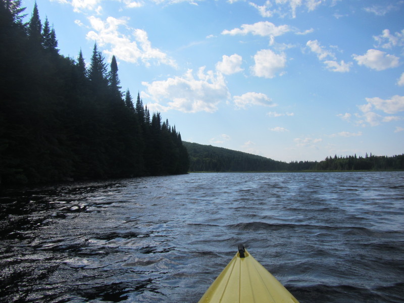
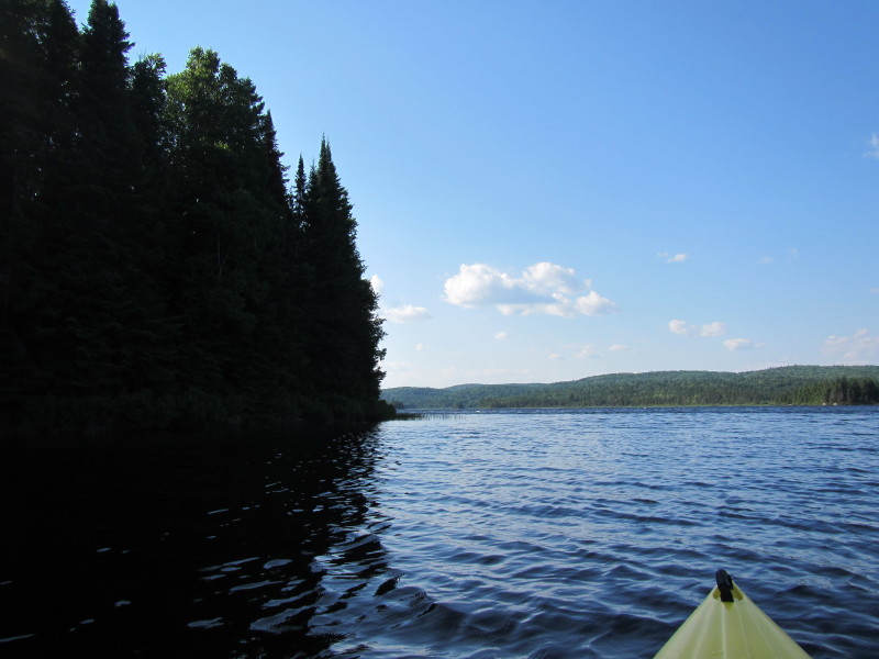
 Got across to the other/eastern side and now the shore is on my left.
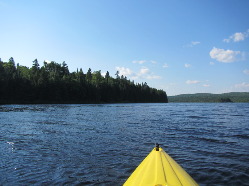
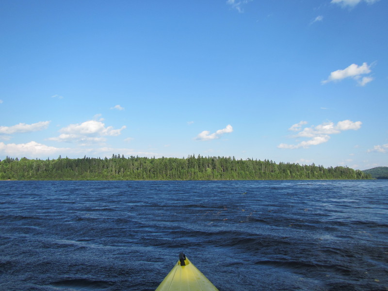
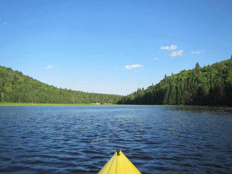
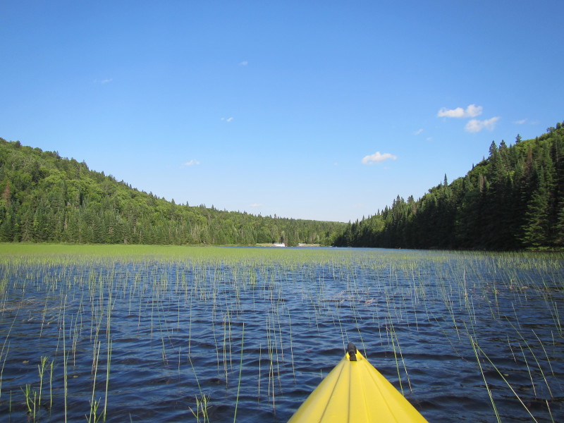
 Paddling southwards, soon this lake will narrow.
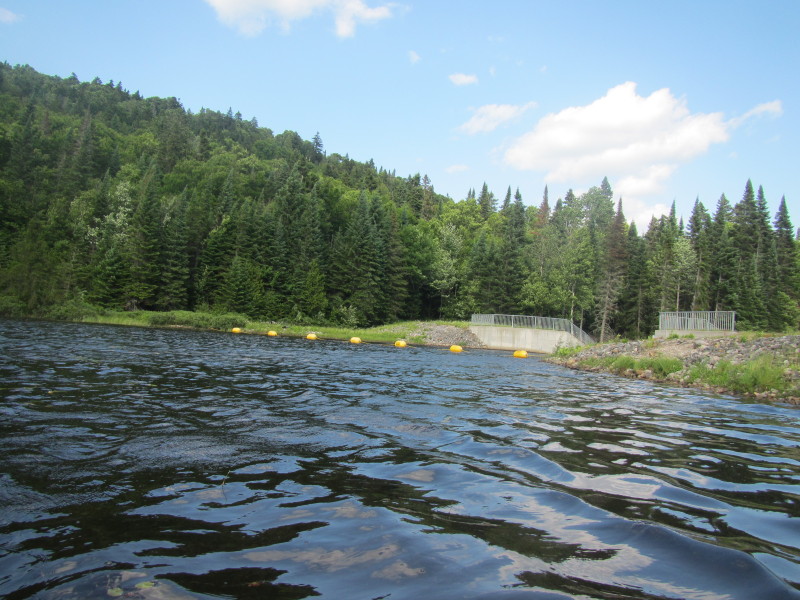
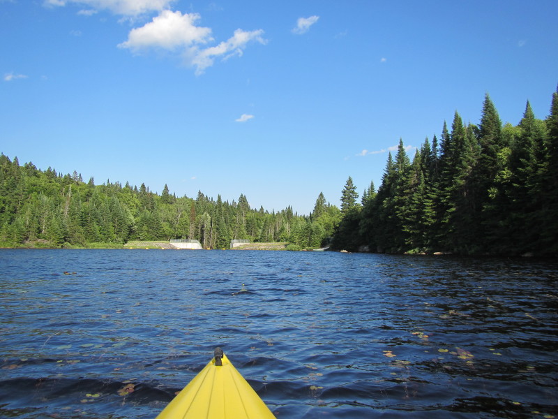
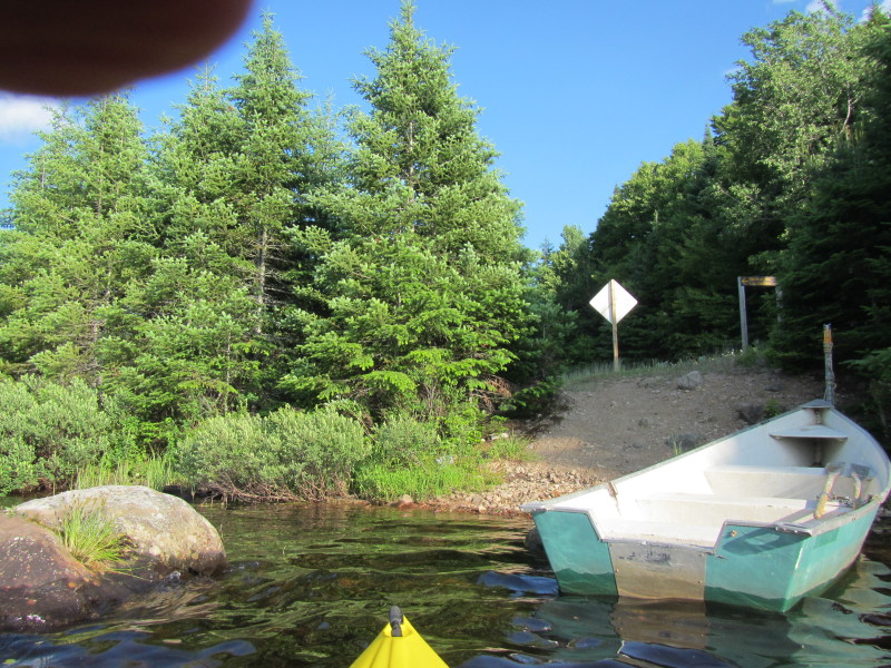
 Now about to enter the narrow channel to the dam and take out.
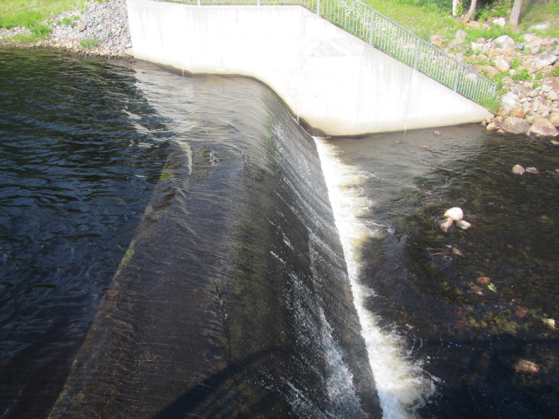
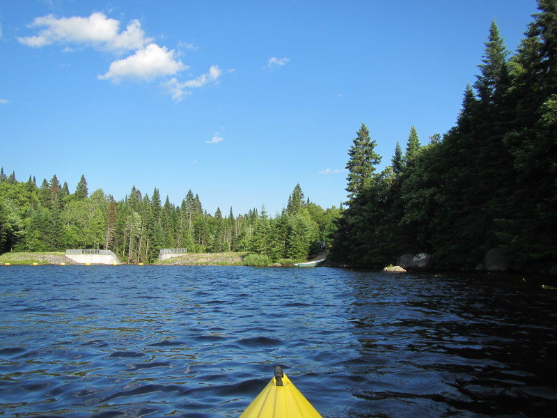
 Lac Savane Dam I can see.
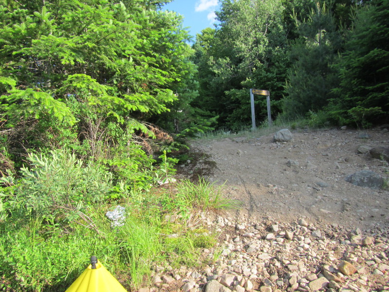 Landed.
|