|
Download printer-friendly
PDF version that fits in one page: |
Other resources:
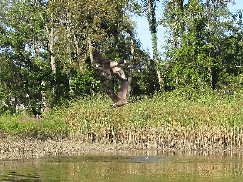
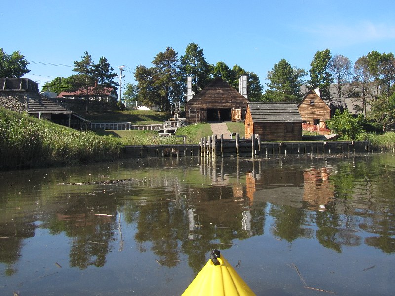
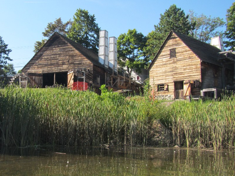
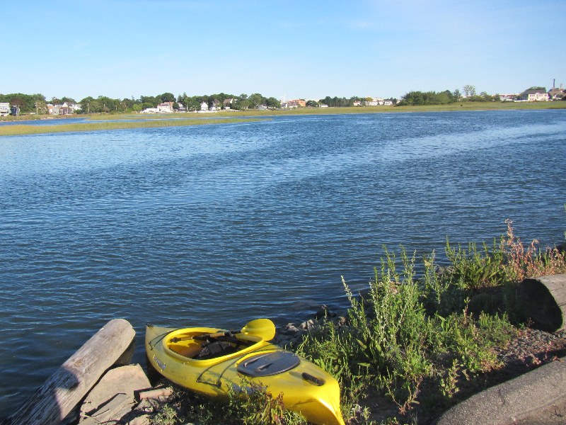
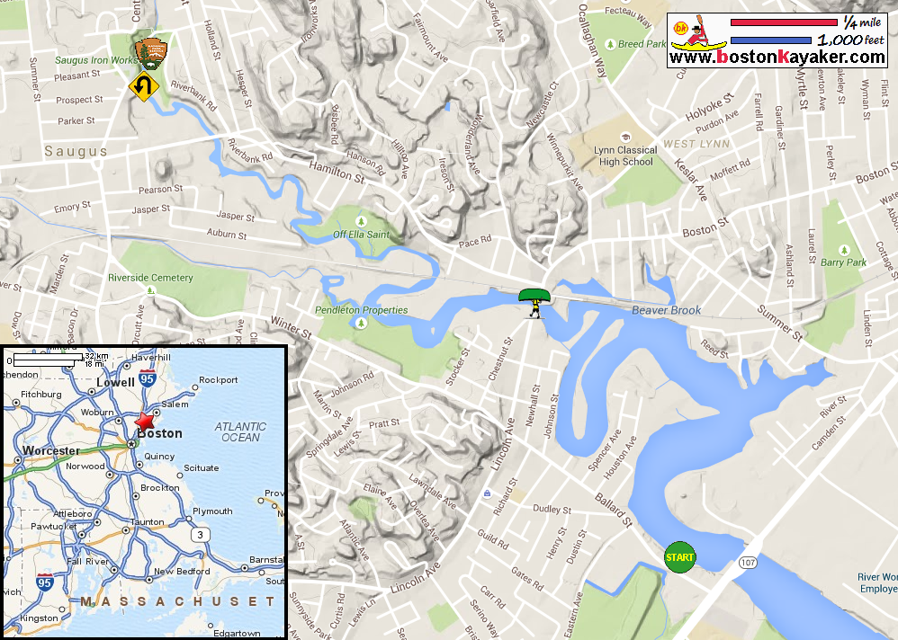
US Harbors: Lynn MA Harbor Tide Chart Salem Sound Coastwatch: Vitale Park on Saugus River Paddling.net: Saugus River Kayak Trip Report National Parks Service: Saugus Iron Works National Historic Site All photos in this website are original and copyrighted. At David C. Penny Memorial Landing on Ballard Street in Saugus MA. Trip date is September 2015. The Boston Kayaker just launched into Saugus River. This picture is looking to my right eastwards to the mouth of the river. Veered to my left up into Saugus River. I should have turned left at this point instead I got a bit lost and continued. I mistakenly pursued this northeast dead-end corner . . . Just turned-around. I will turn right into Saugus River main stem past these birds. I am now on the right direction in Saugus River. Two kayakers on Saugus River. Chatted with them briefly and they said they did not paddled past the Lincoln Bridge as they are worried getting stranded by the high tide (exactly what will happen to me later). On my left is the big oxbow loop that I will not paddle. Will follow the shoreline on my right. The Lincoln Avenue / Boston Street bridge coming up. There is enough clearance for me to go under so I did. Current is strong and going inwards with me under the bridge. Now west of the bridge. Maps label this wide section of Saugus River west of the bridge as Shute Pond. The abandoned rail bridge. Passing under the rail bridge. Big rock hill on Saugus River. Hamilton Street bridge. Under the Hamilton Street bridge on Saugus River. Water (or sewerage?) pipe. I can see the Saugus Iron Works National Historic Park directly ahead. Geese in flight over the Saugus River. Saugus Iron Works National Historic Park viewed from Saugus River. There is a potential landing spot but water level is too low. Afraid to get out of my kayak and step into the mud. The water wheel of the Iron Works harnessed the power of flowing Saugus River. Just turned around and now paddling back. The current on Saugus River is still running inwards with the tide rising for another 1+ hour. Hamilton Street bridge. With the water flowing in, I was wondering when these river debris will be flushed out . . . There is that rock hill. Passing under the abandoned rail bridge. Approaching the Lincoln Avenue / Boston Street bridge. It is about 30 minutes before high tide. There is about 6+ inches of clearance under the bridge. Definitely impassable underneath. I looked around for a good spot to take out and chose the south bank next to the bridge. I have to paddle against the strong current coming in from under the bridge. Checking out put in spots, there is this park on the north bank of Saugus River east of the bridge. There is this restaurant private parking lot that I found easier to launch. At the informal access from the Spud's Restaurant parking lot. Back on Saugus River now east of the Lincoln Avenue / Boston Street bridge. Veering to my right . . . Landed back at David C. Penny Memorial Landing. Paddle time was 2 hours and 12 minutes. |