 Kayaker

|


|
Download printer-friendly
PDF version that fits in one page: |

|
|
Other resources:
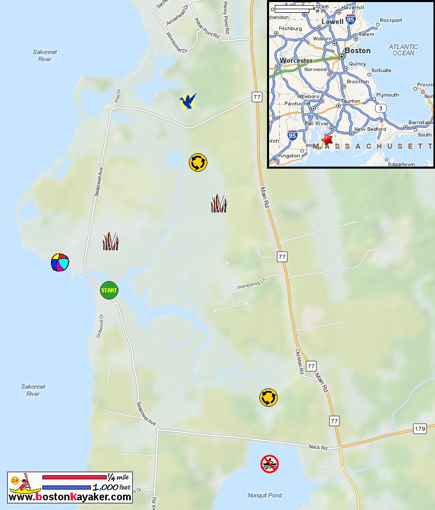
Explore RI's Blueways and Greenways: Sapowet Point US Harbors: Sakonnet River Tide Chart All photos in this website are original and copyrighted. 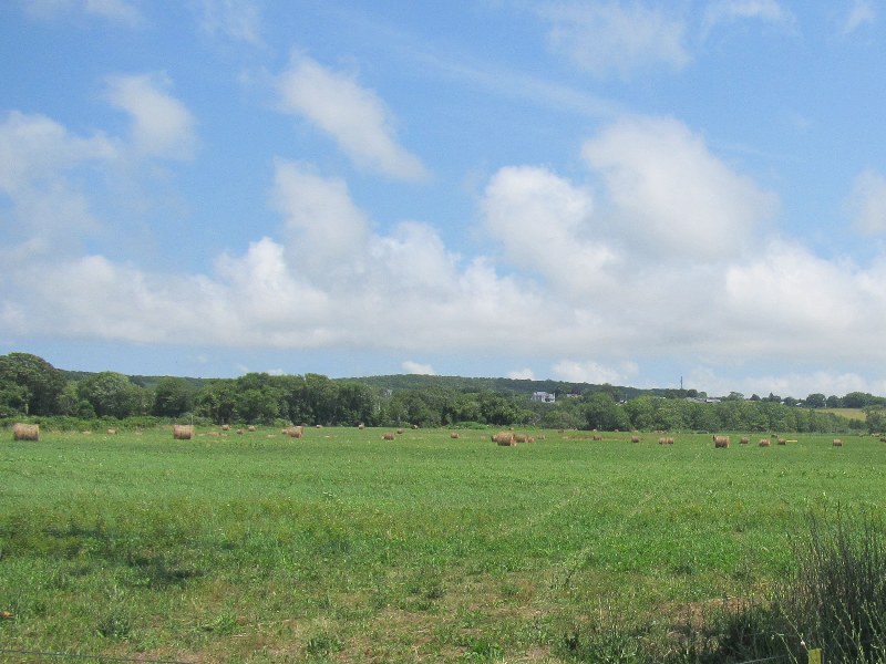 In Tiverton RI along Nannaquaket Road on the way to Sapowet Marsh.
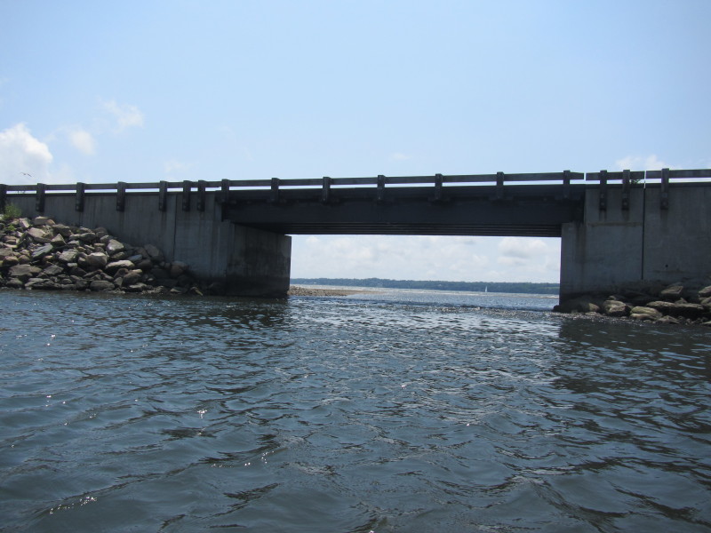
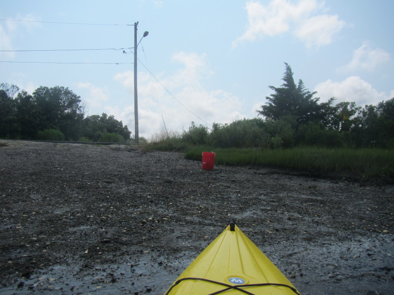
Trip date is July 2014.  On the northeast side of Seapowet Avenue bridge in Tiverton RI.
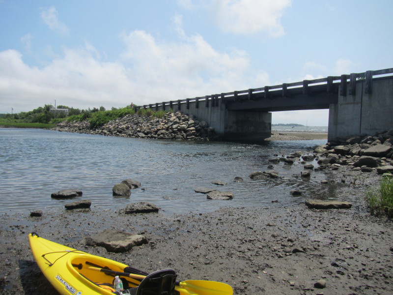 I launched from the northeast side of Seapowet Avenue bridge within an hour of receding to low-tide.
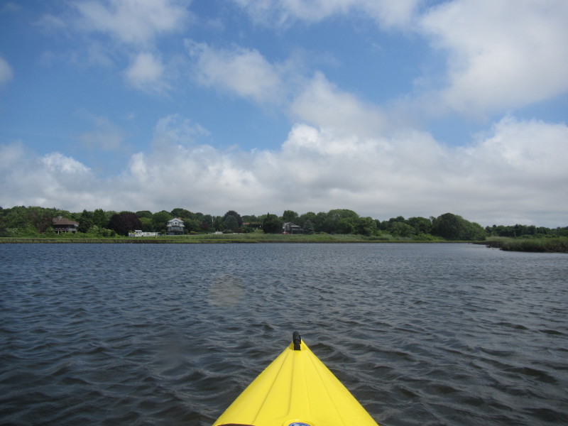
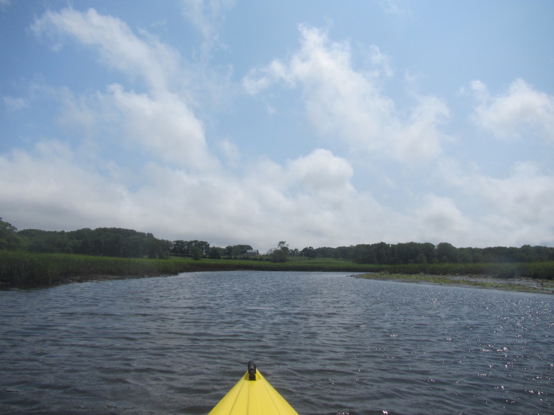
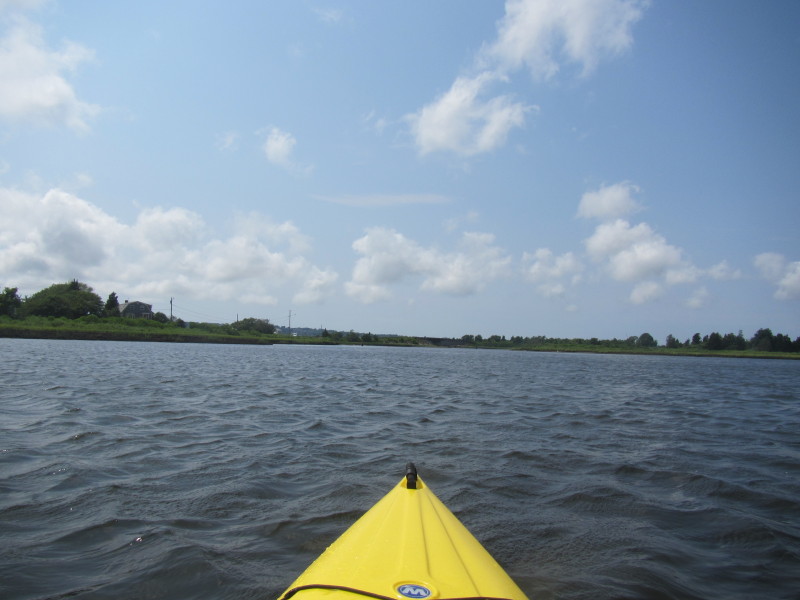
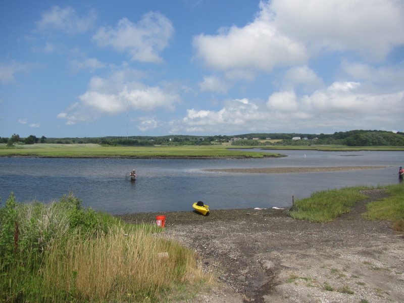
 The Boston Kayaker just launched on Sapowet Marsh.
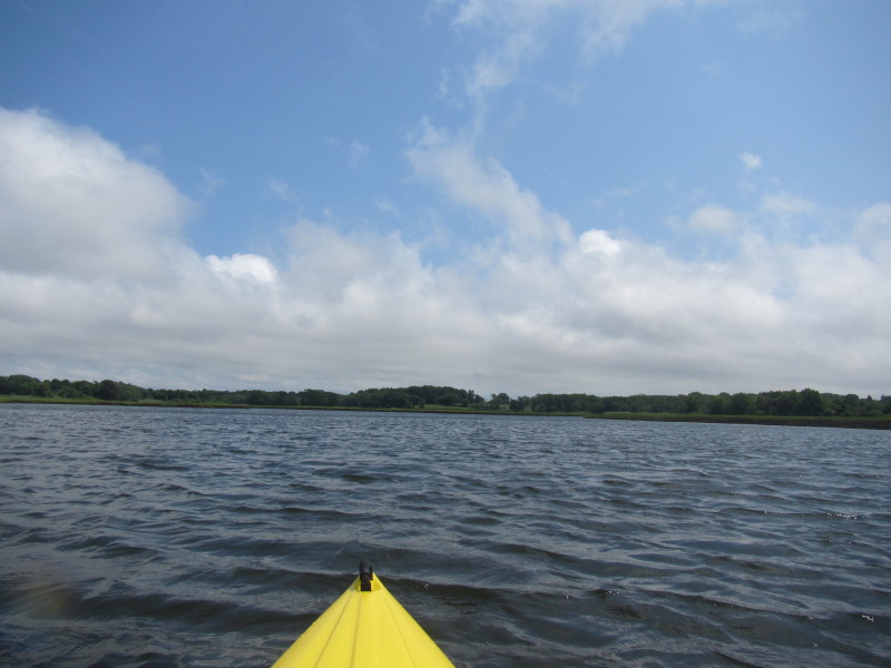
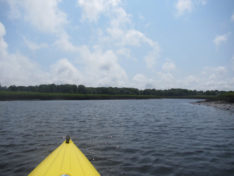
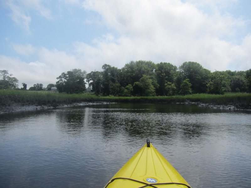
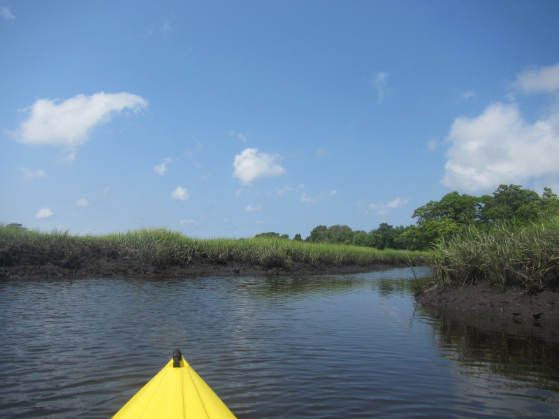
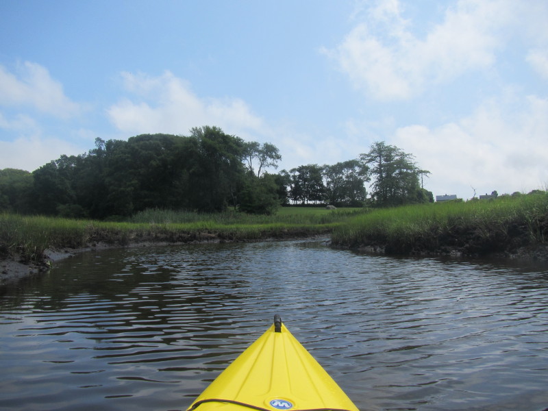
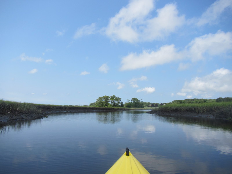
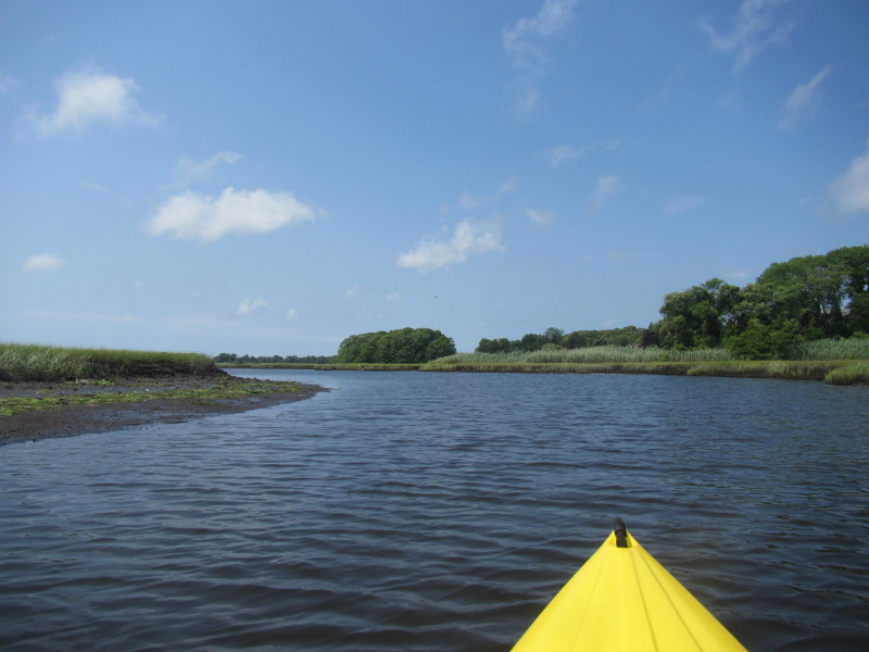
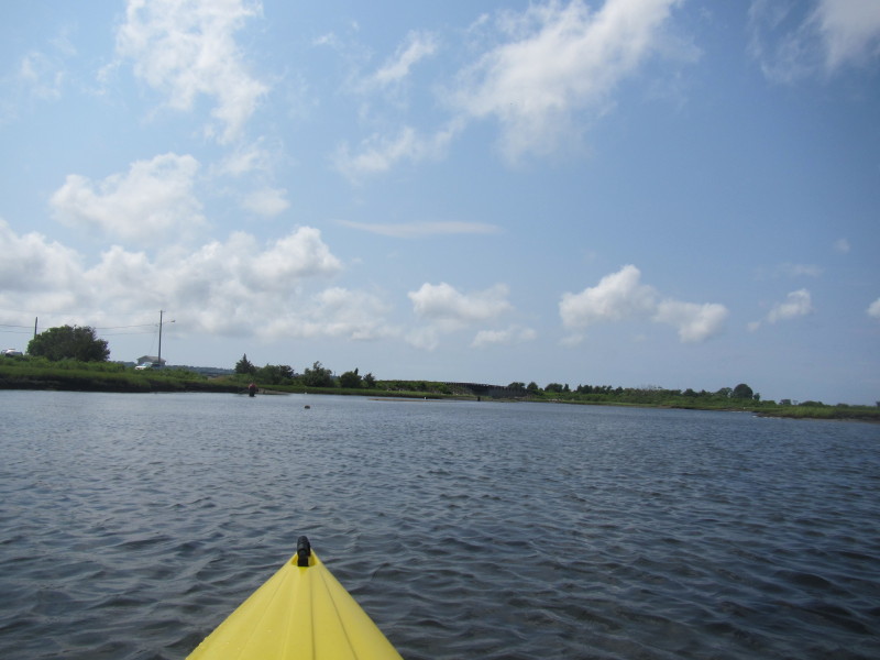
Seapowet Avenue bridge on my right. 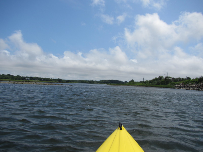 Paddling eastward into Sapowet Marsh.
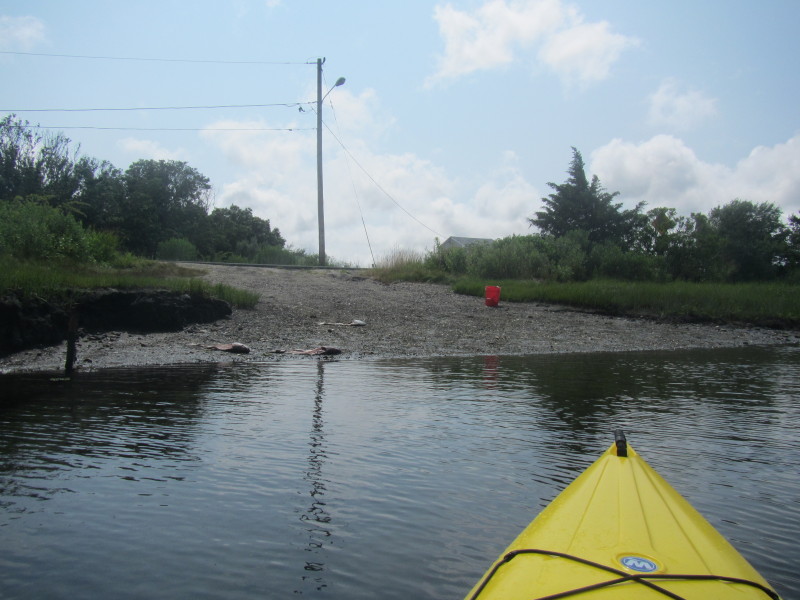
 Only after I launched did I notice this easier put in spot of the Seapowet Avenue bridge.
This spot is now my starting point in the map above. 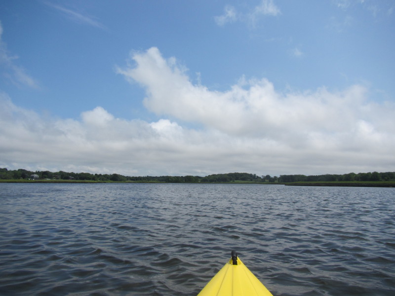
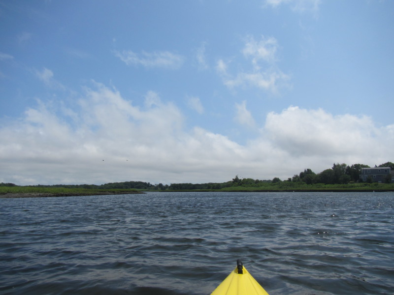
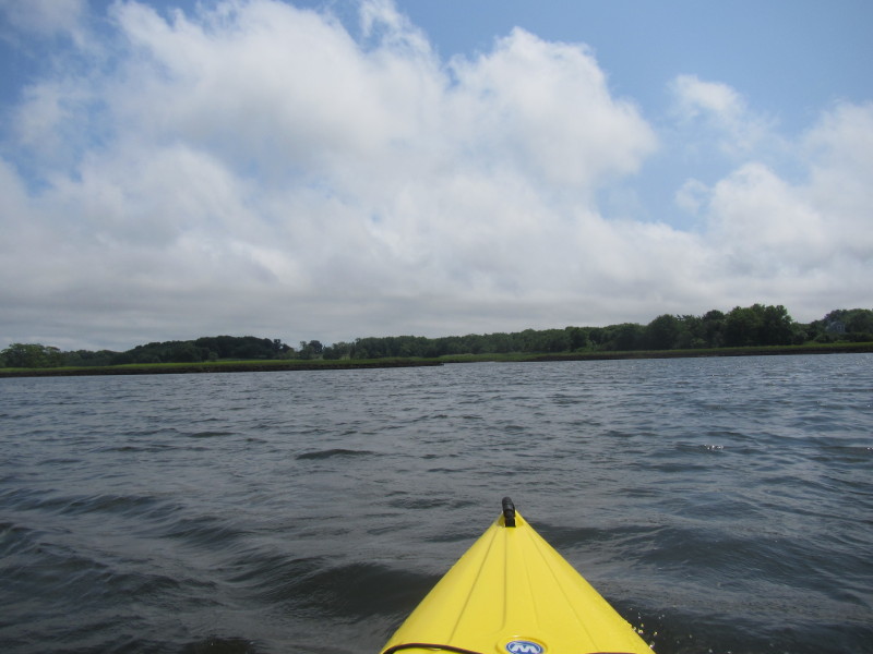
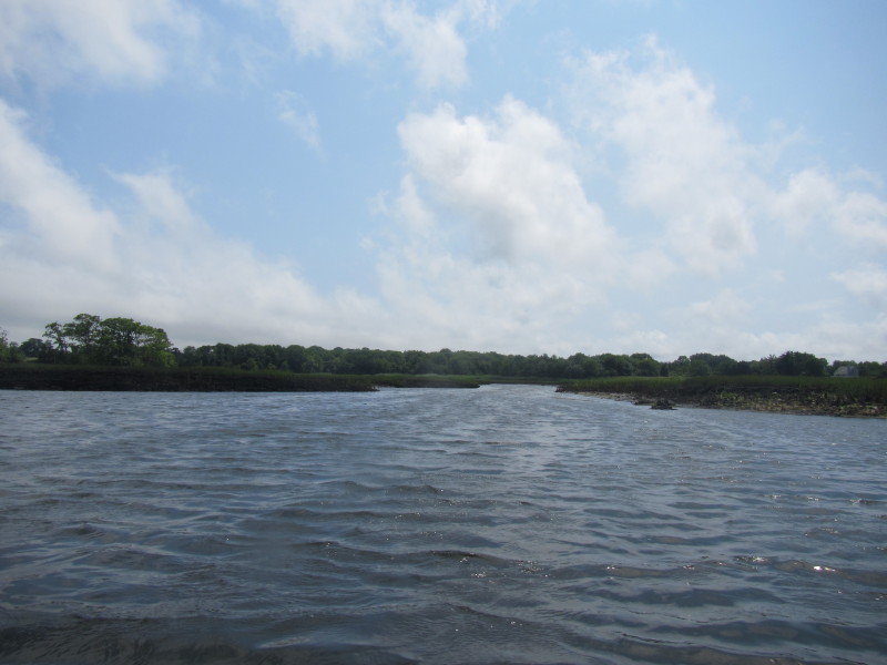
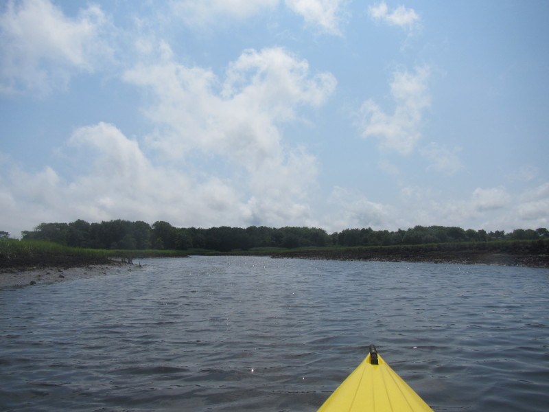
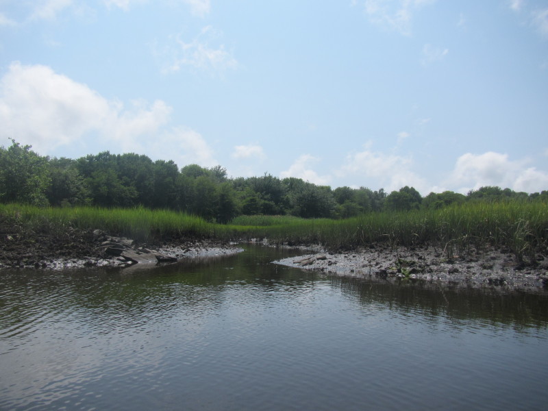
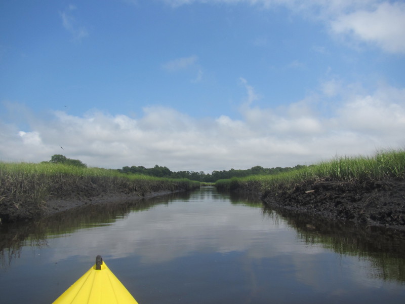
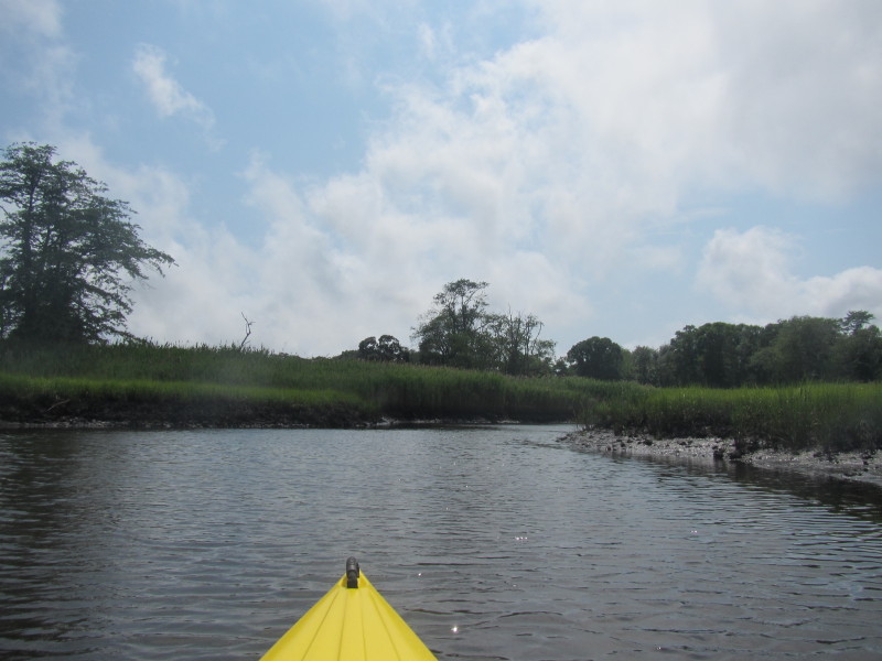
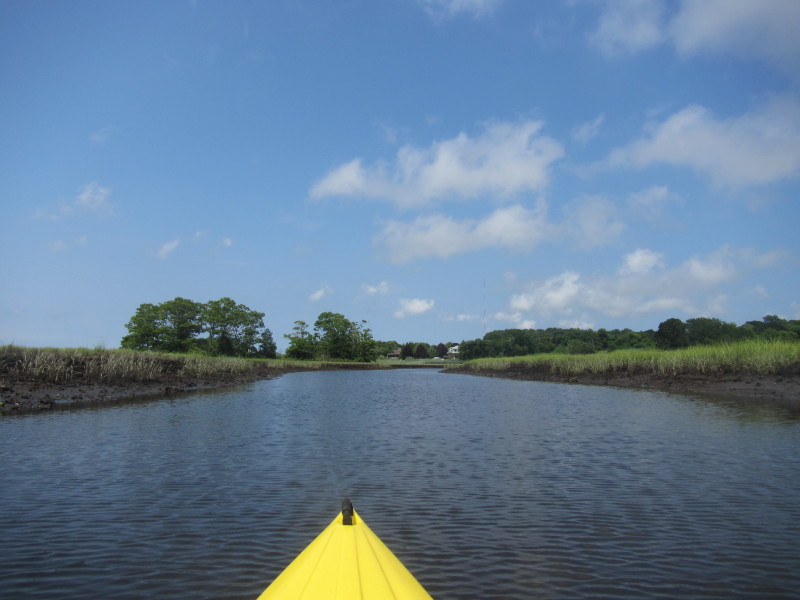
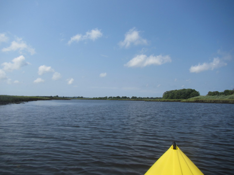
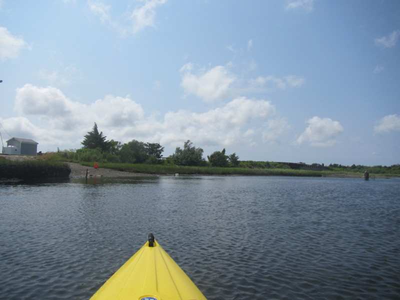
 The Seapowet Marsh splits into two main branches from here.
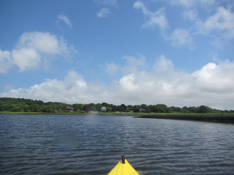
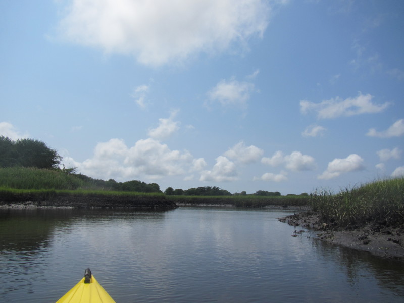
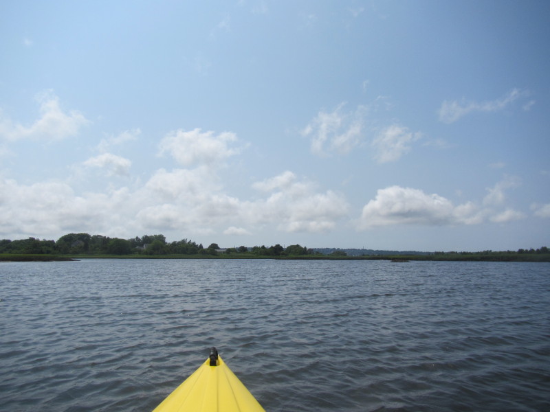
 Veering right, will paddle to southern arm.
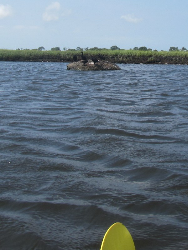
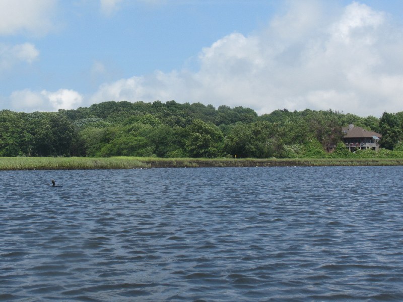 A cormorant on Sapowet Marsh.
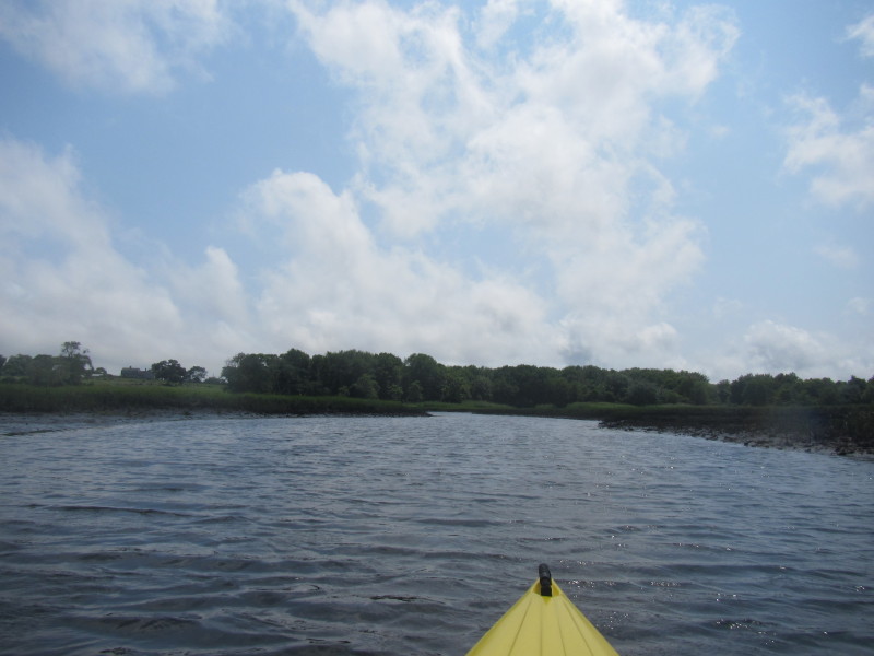
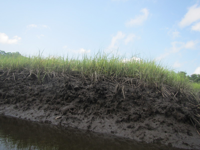
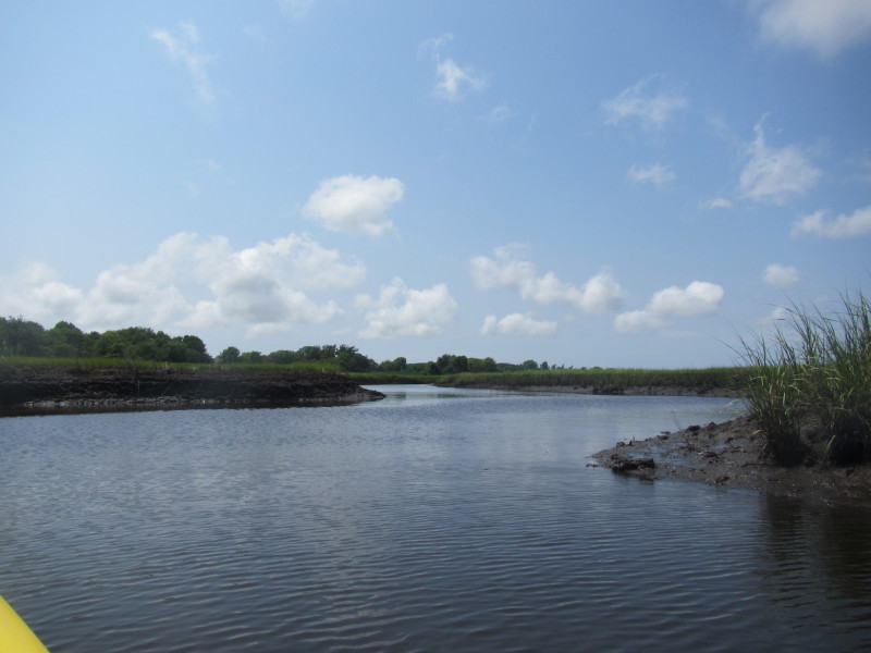
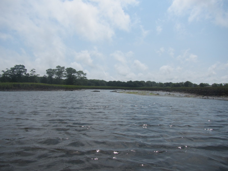 At low tide, the Sapowet Marsh is barely navigable in places.
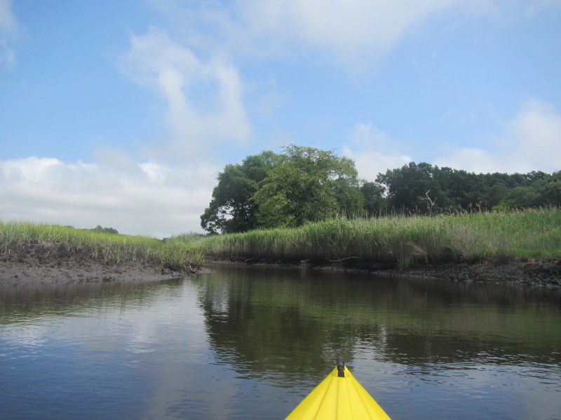
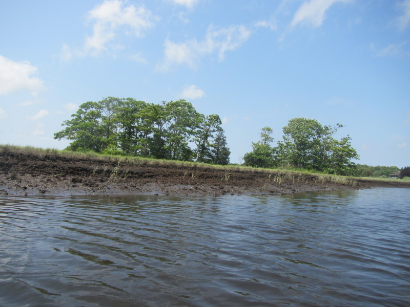
 On my right is a small branch of Sapowet Marsh.
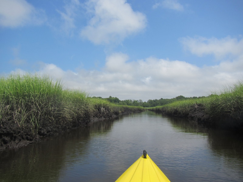
 The marsh water is getting narrower.
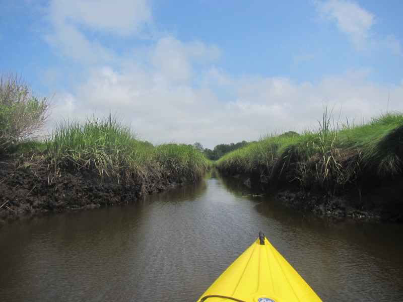
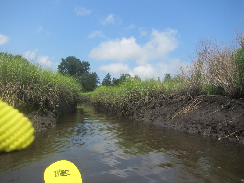
 I found this canal-like section of Sapowet Marsh.
 At this point, my path forward is too narrow to turn around my kayak.
 On my left is another branch of Sapowet Marsh.
Here, I decided to do a 3-point turn using this smaller branch on my left. 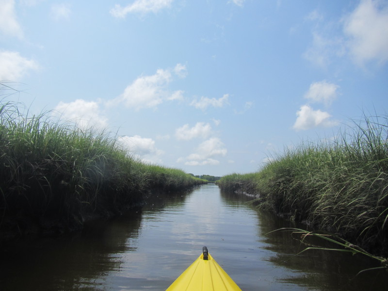 Just turned around and now paddling back.
 Inter-tidal critters on Sapowet Marsh. They go into their holes once they detect my presence.
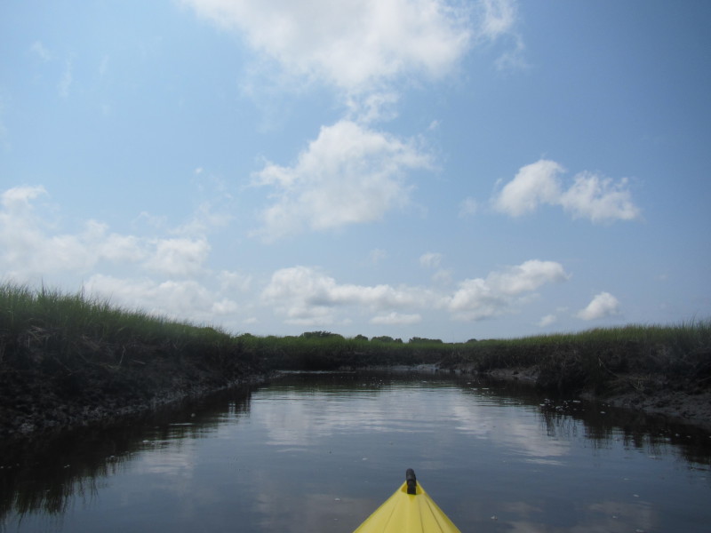
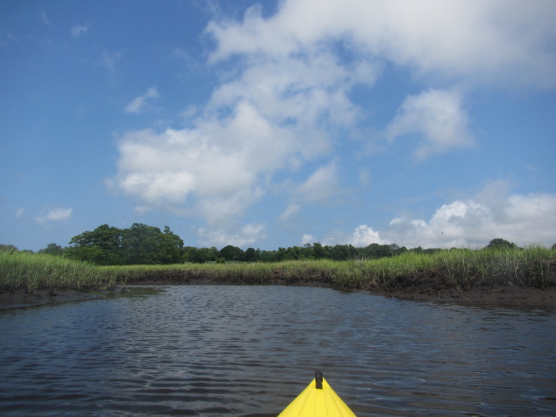
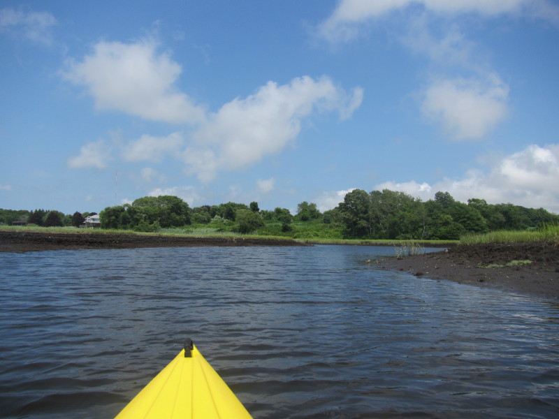
 Sapowet Marsh getting wider now.
 I can see the Seapowet Avenue bridge.
 Discarded fish bones.
 Landed.
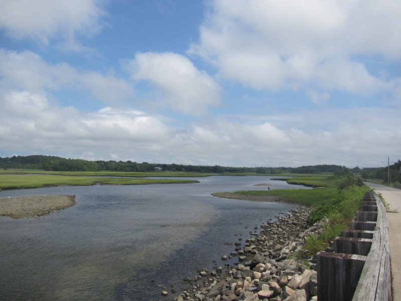 Sapowet Marsh viewed from the Seapowet Avenue bridge.
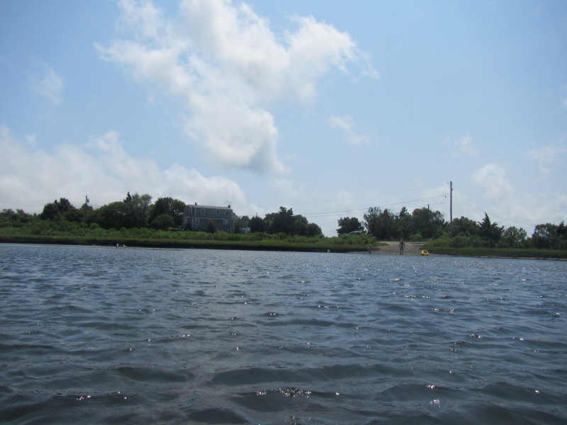
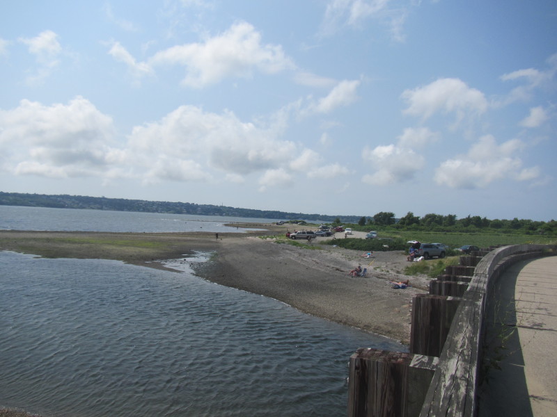 The beach and recreation area west of Seapowet Avenue bridge.
|