 Kayaker

|


|
Download printer-friendly
PDF version that fits in one page: |

|
|
Other resources:
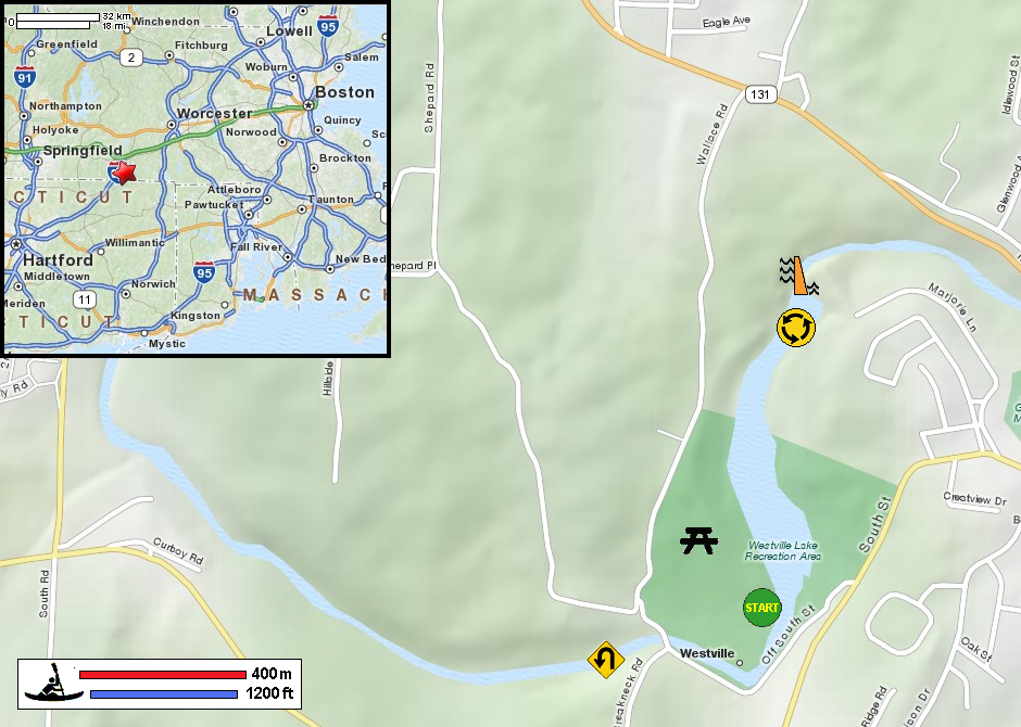
The Last Green Valley: The 2012 Quinebaug River Paddle Guide (see pages 11 to 12) The Last Green Valley: The 2012 Quinebaug River Paddle Guide (cached copy) US Army Corps of Engineers: Westville Lake All photos in this website are original and copyrighted. 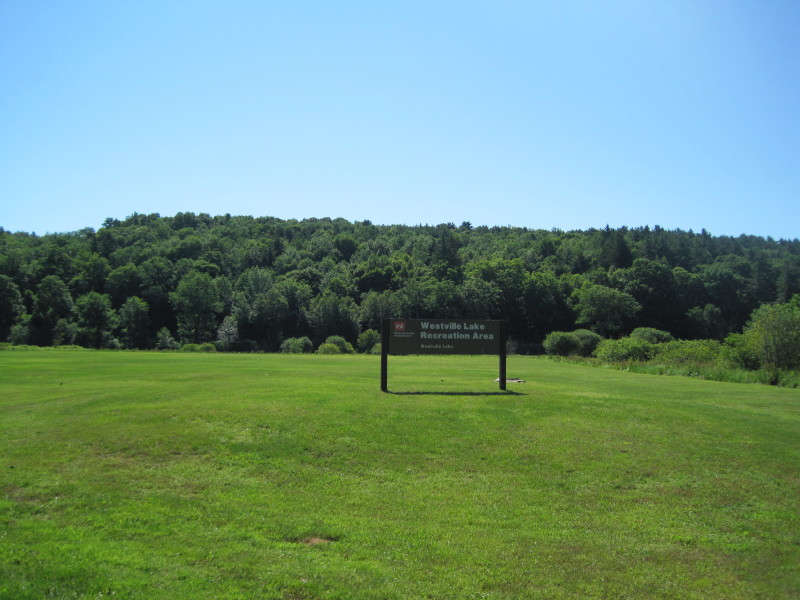 At Westville Lake Recreation Area in Southbridge MA.
Trip date is June 2012.
At Westville Lake Recreation Area in Southbridge MA.
Trip date is June 2012.
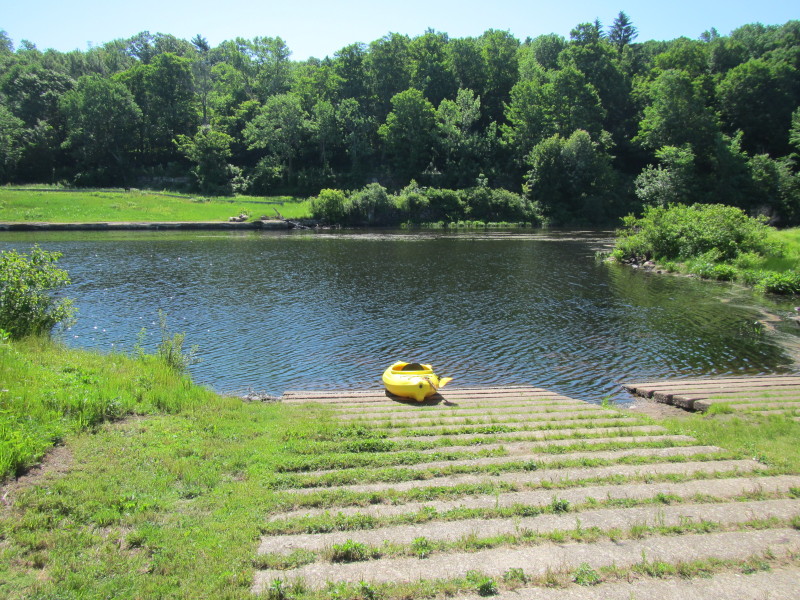 Westville Lake boat ramp.
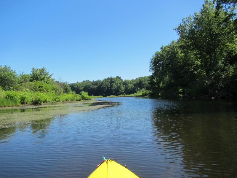
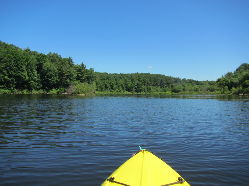
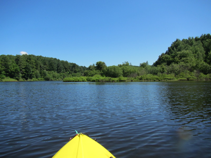
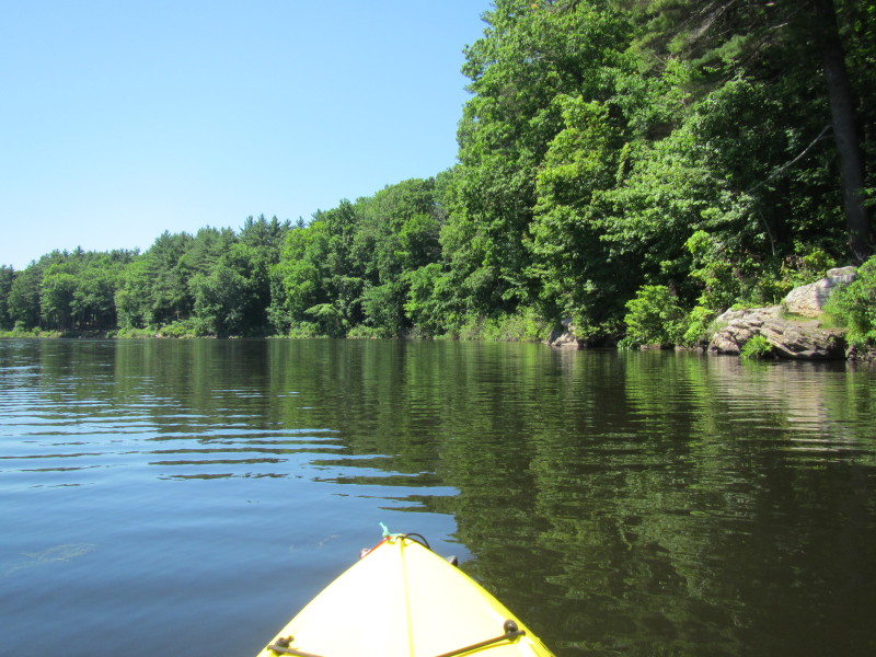
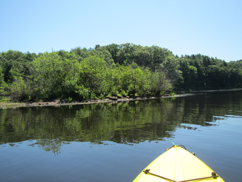
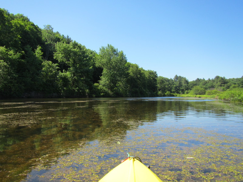 I paddled to the right upstream on Quinebaug River.
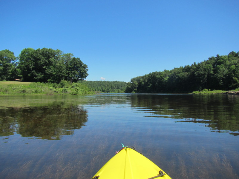
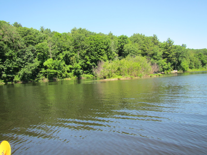
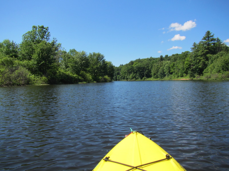
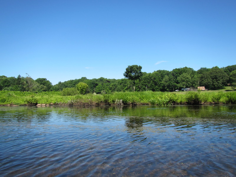 The Westville Lake Recreation Area on my right.
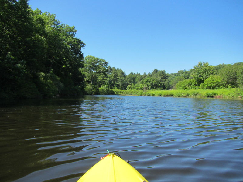
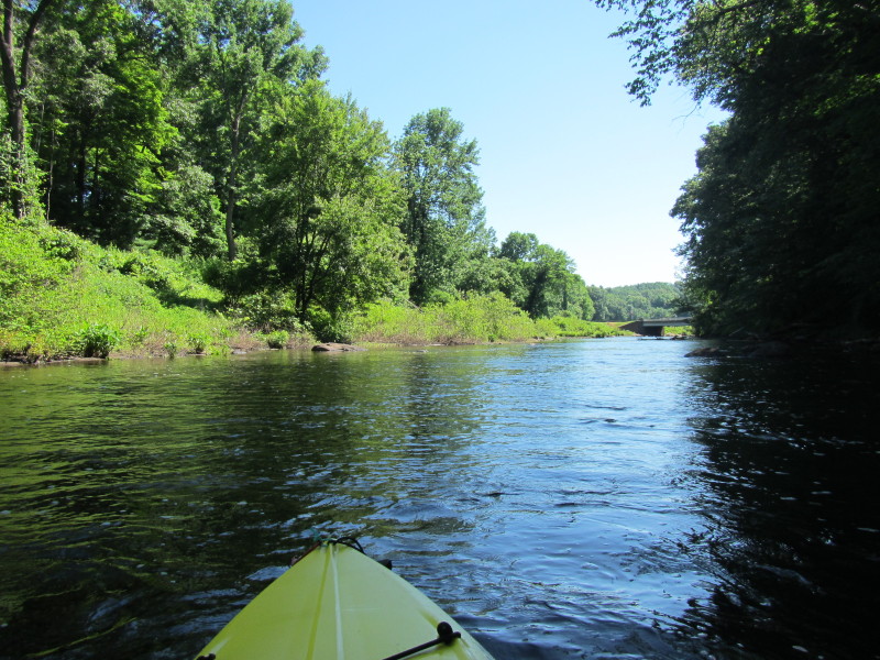
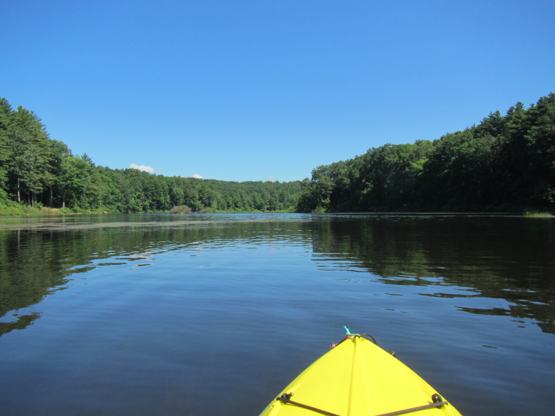
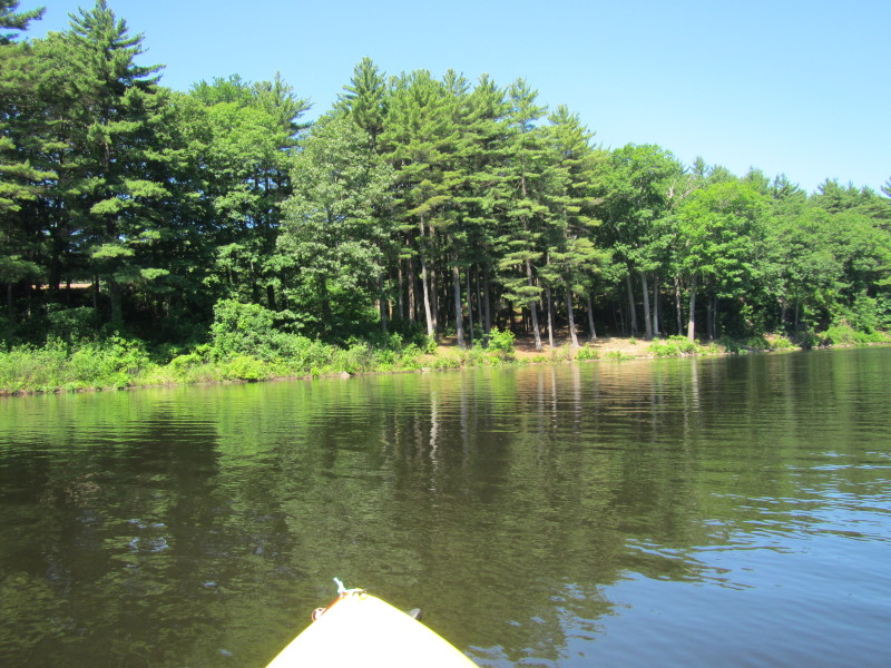
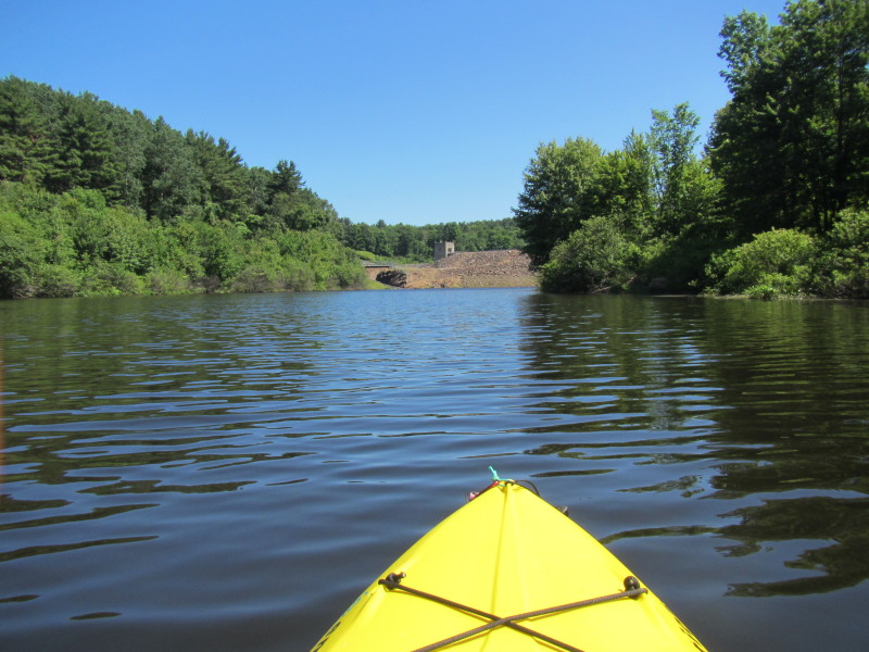
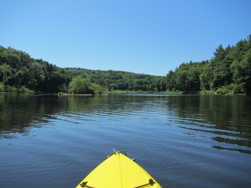
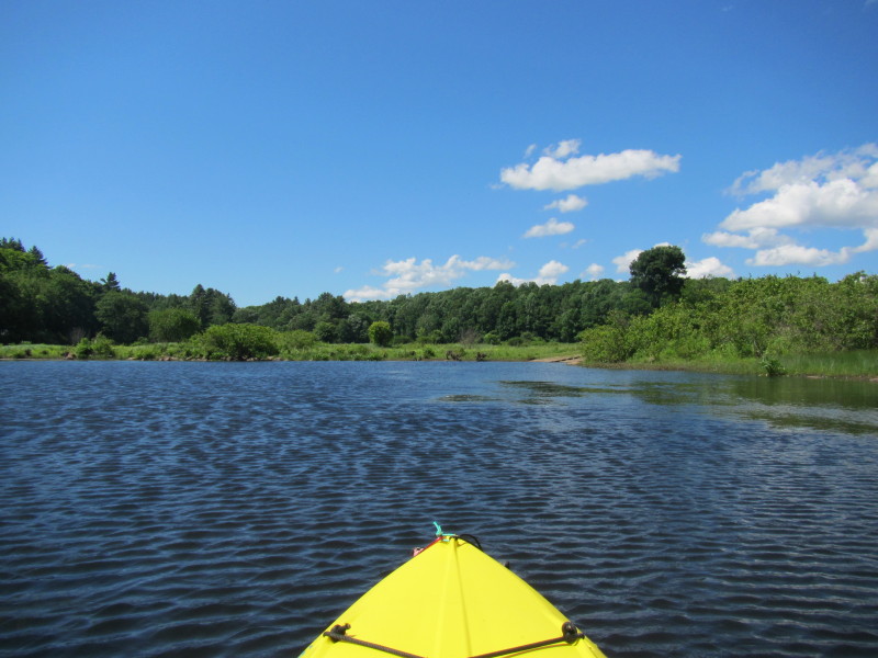
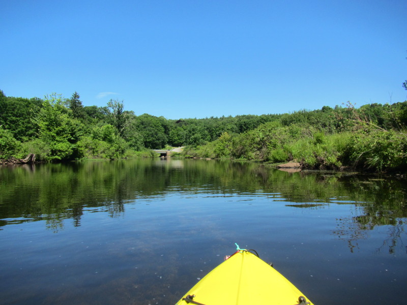 It's a short trip and one bend to the right and the bridge becomes visible.
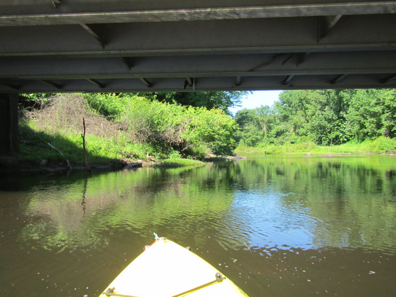
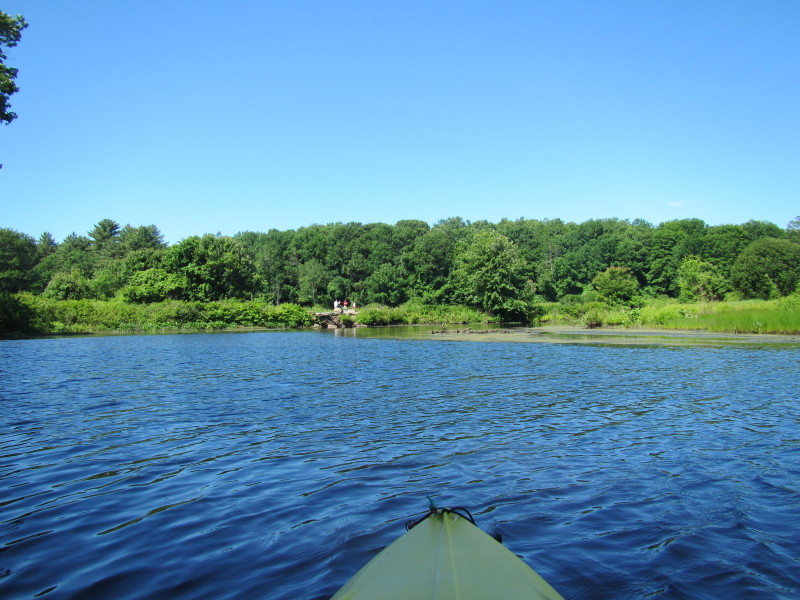
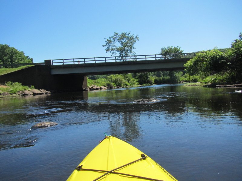
 Did not got very far from the bridge as the river flow becomes swift.
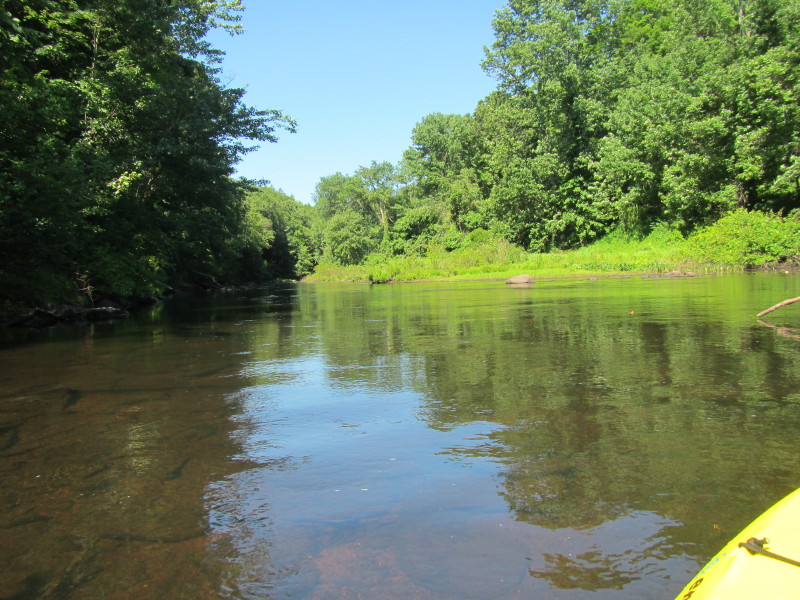
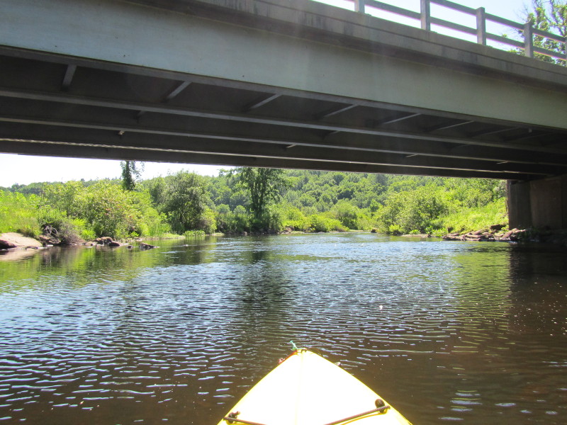
 I just turned around and now paddling downstream and will pass that bridge again.
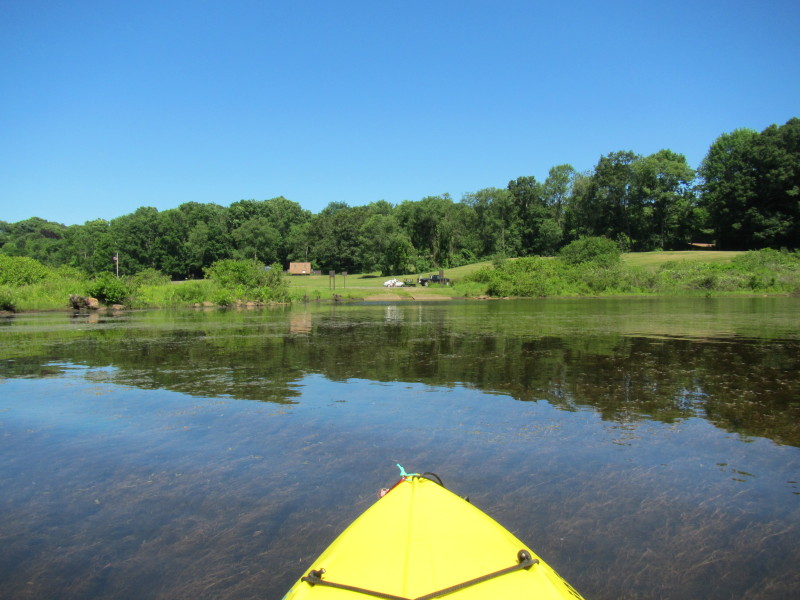 The ramp where I put in and will come back later.
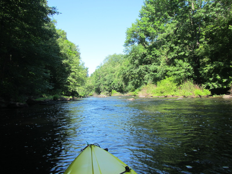
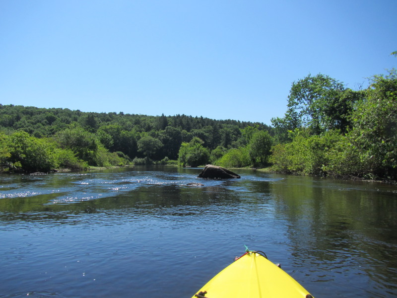
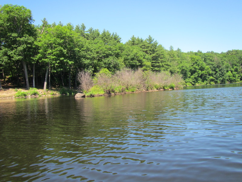
 Continuing towards the dam . . .
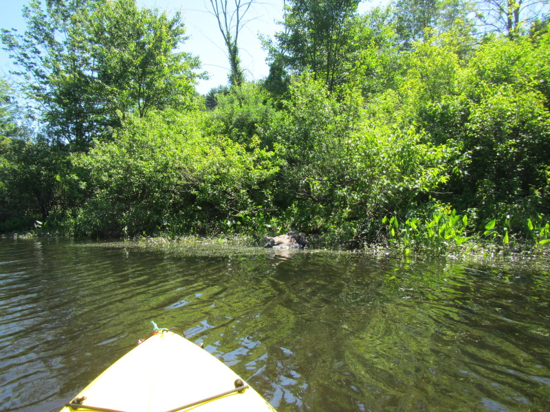
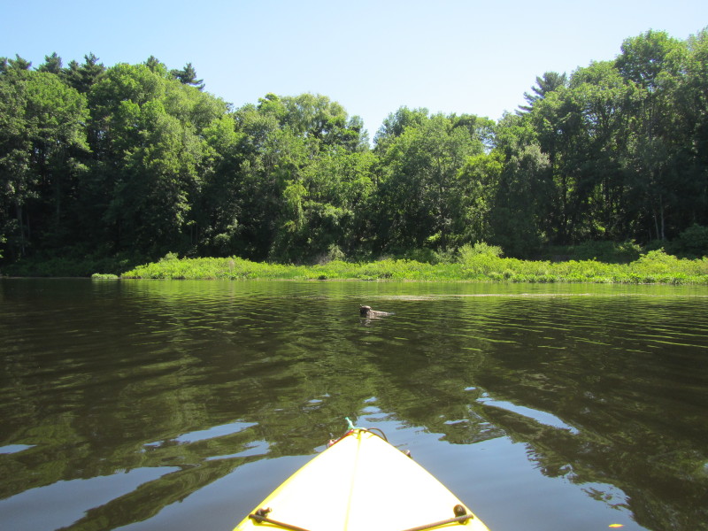 Turtle sunbathing.
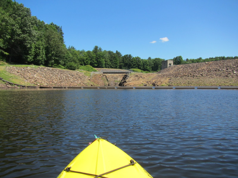
 The Westville Lake Dam.
 The approach to the dam is marked and barricaded.

 There is the boat ramp on my right where I started.
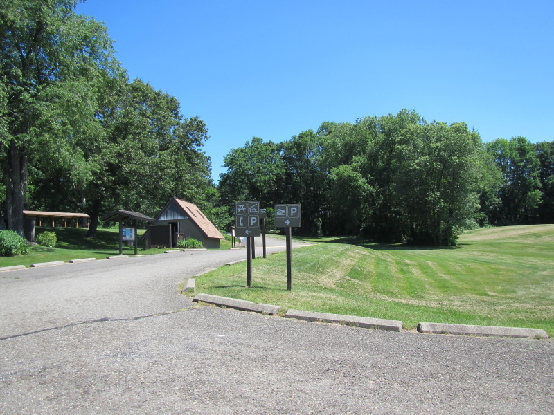 The picnic area at Westville Lake state park.
|