 Kayaker

|


|
Download printer-friendly
PDF version that fits in one page: |

|
|
Other resources:
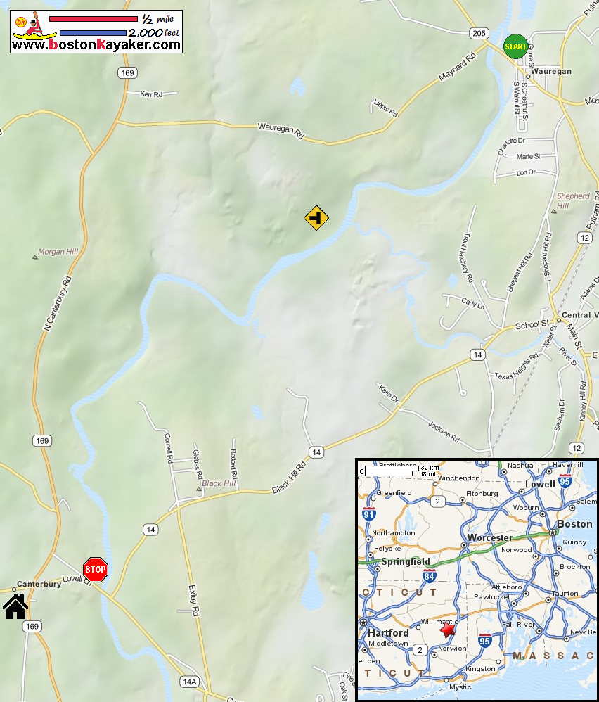
The Last Green Valley: The 2012 Quinebaug River Paddle Guide (see page 23) The Last Green Valley: The 2012 Quinebaug River Paddle Guide (cached copy) CT Govt: Prudence Crandall Museum All photos in this website are original and copyrighted. 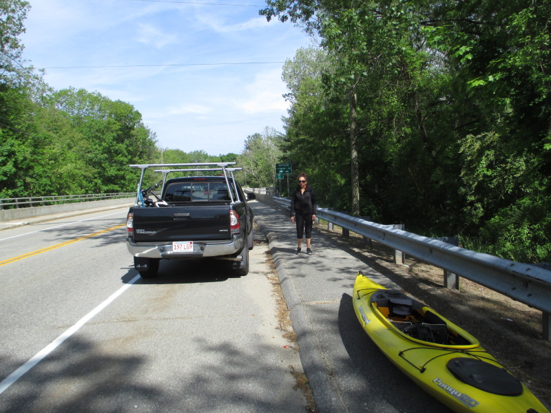 On Route 205 / Wauregan Road bridge in Danielson CT.
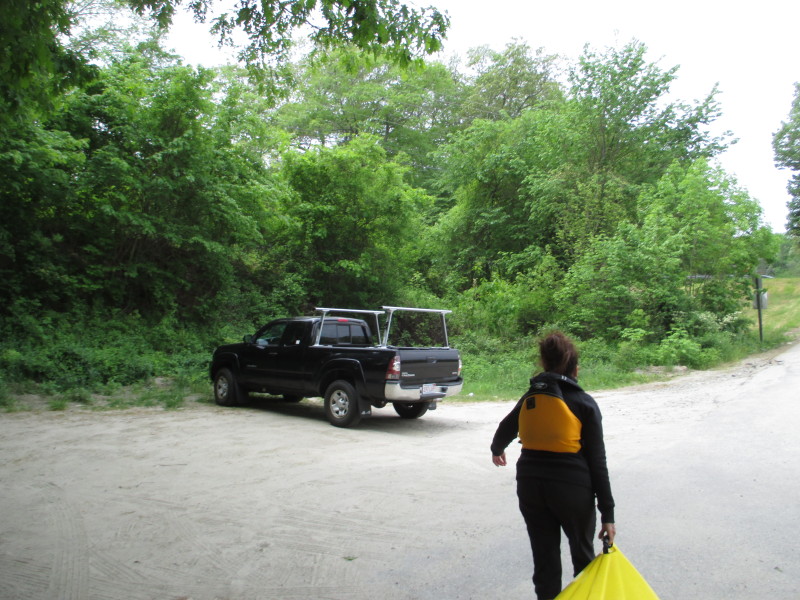
Trip date is May 2017. 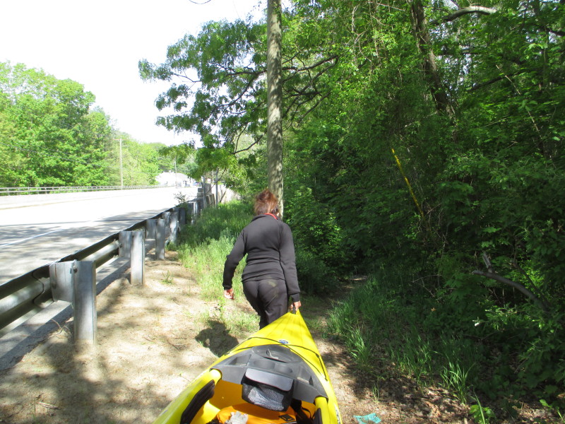 The put in is under the Route 205 bridge north east side.
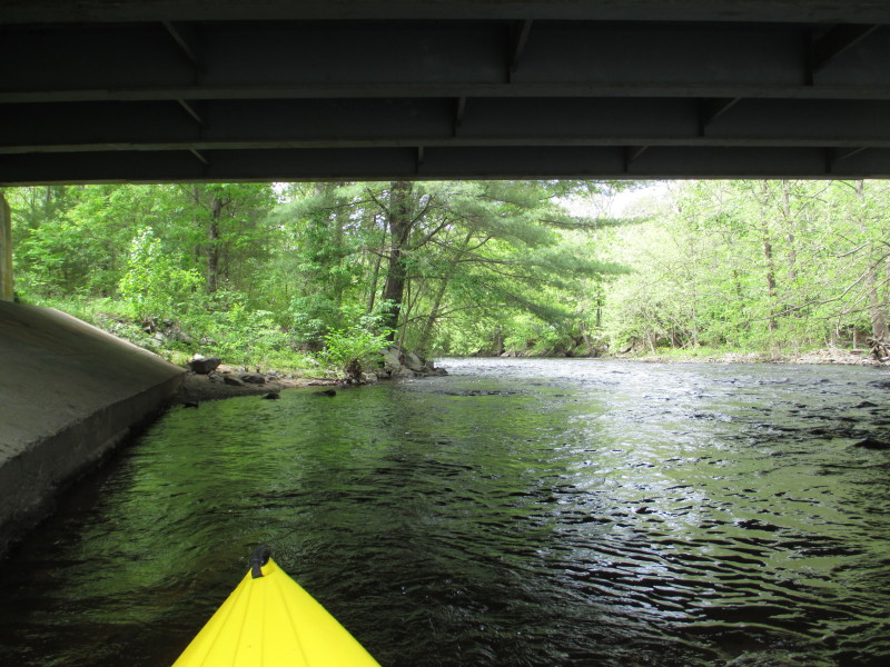 The Boston Kayaker launching on Quinebaug River under the Route 205 bridge in Danielson CT.
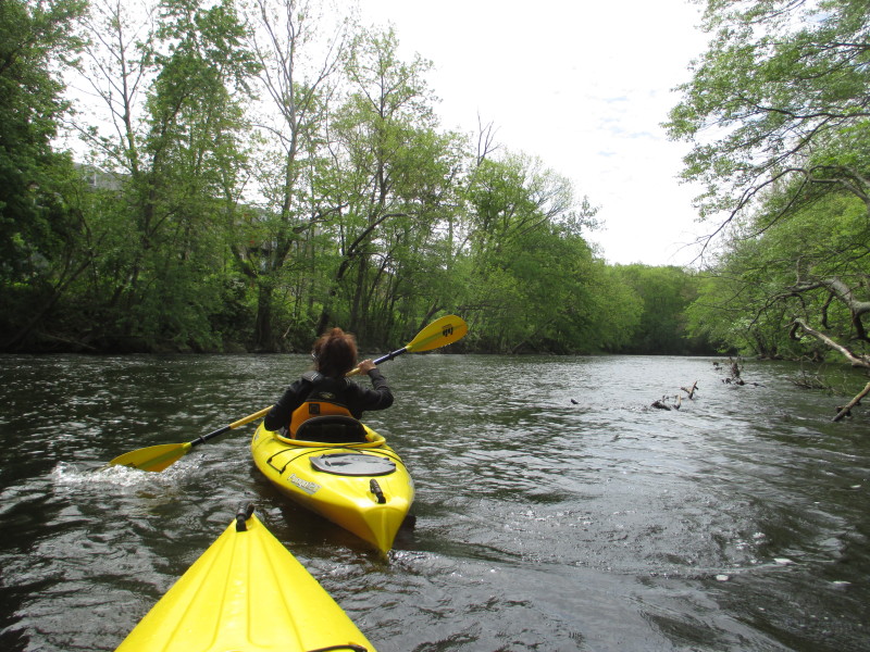
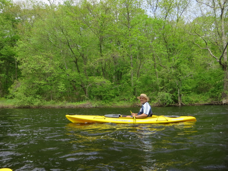
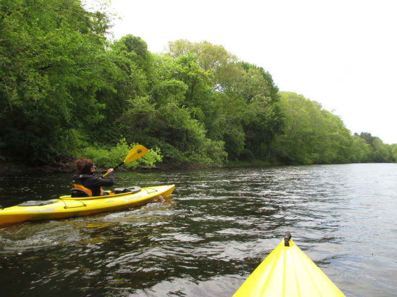
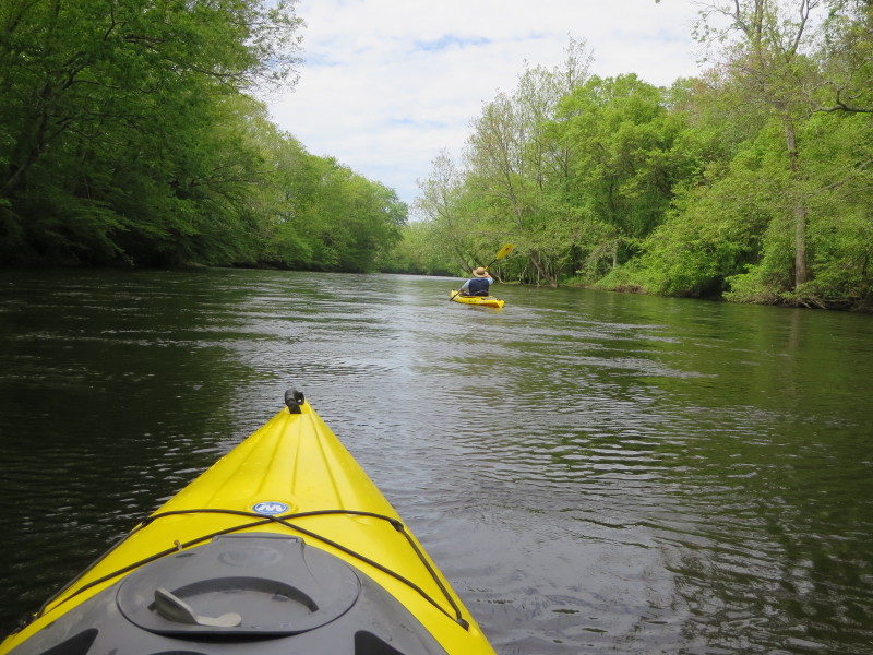
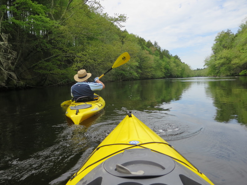
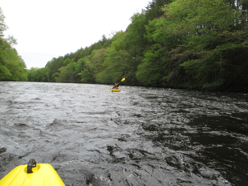
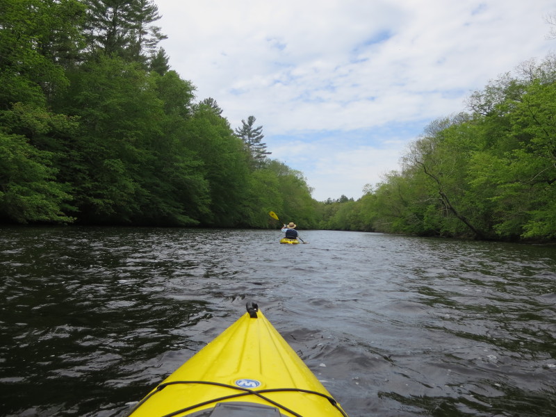
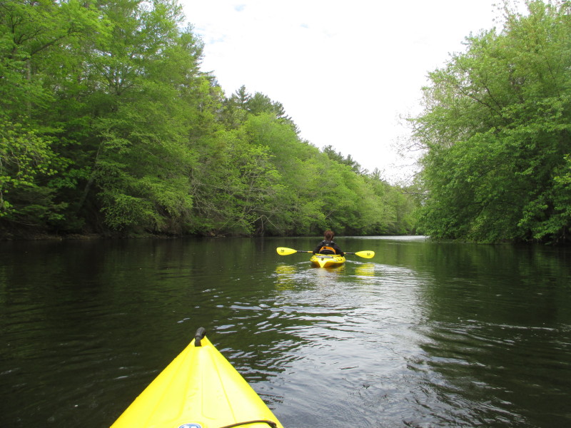
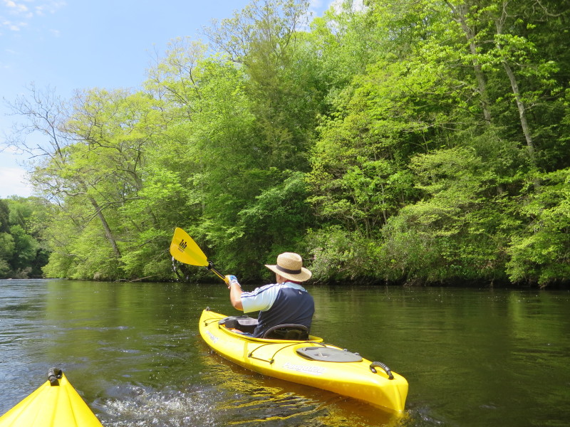
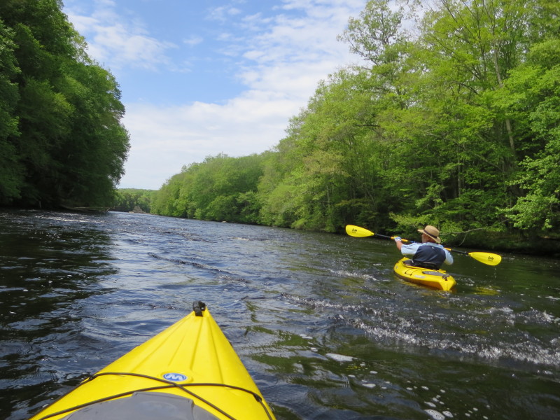
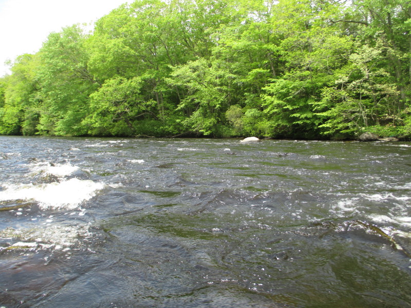
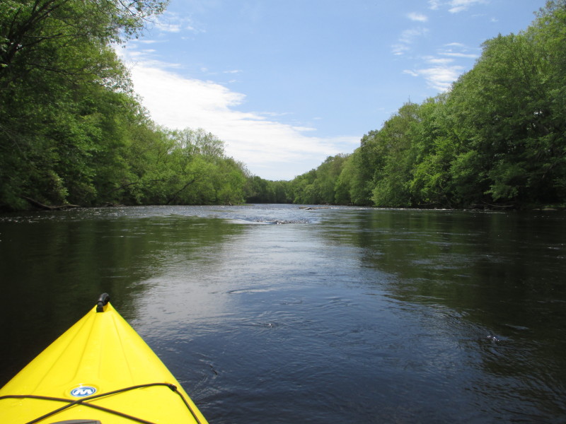
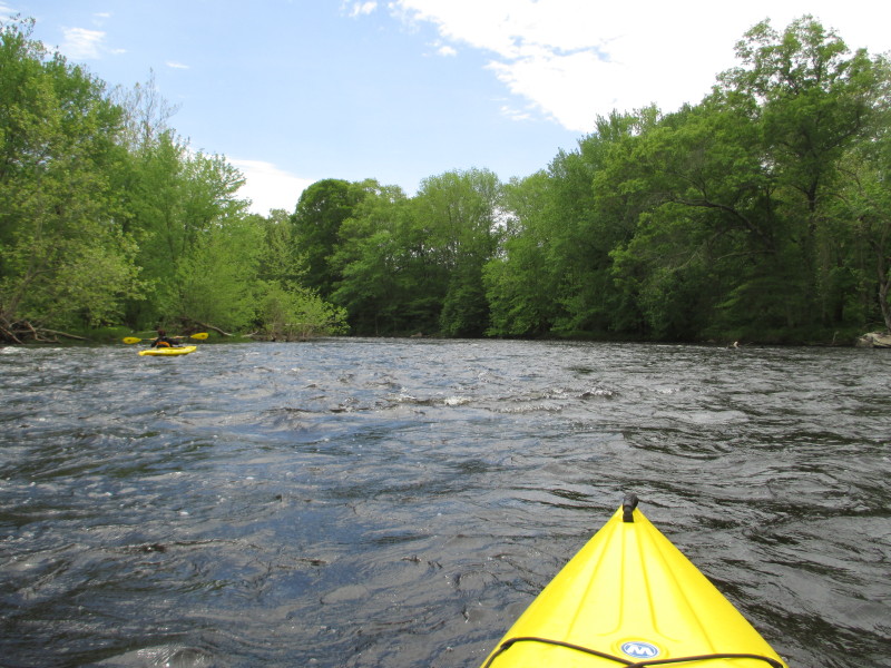
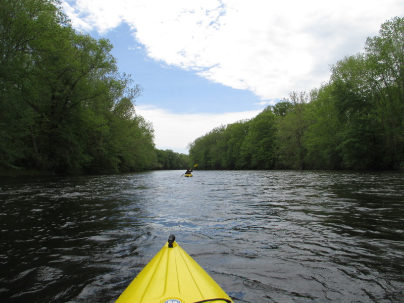
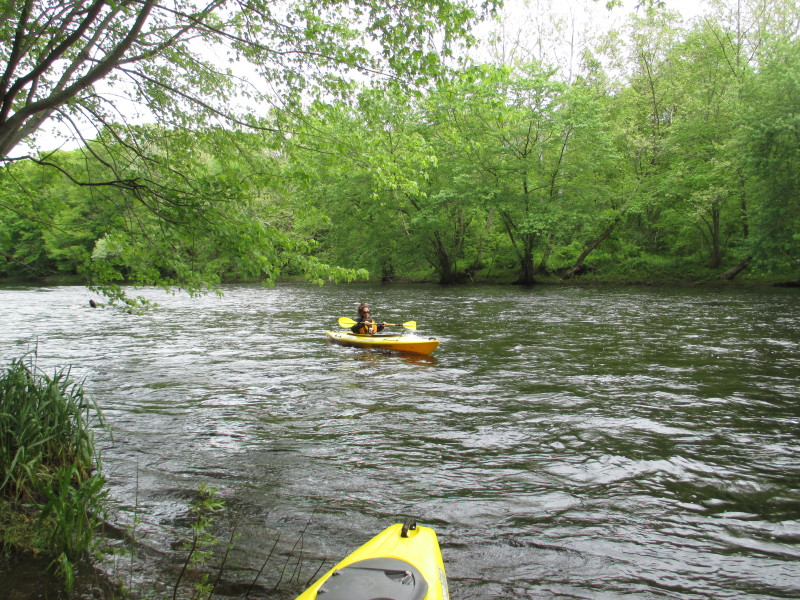
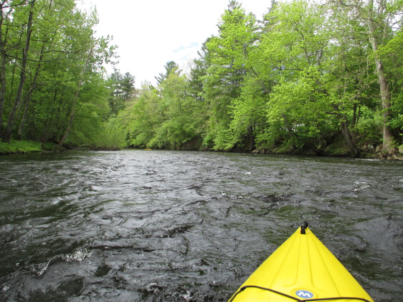 My wife launched ahead of me (in the center of the picture). This river is really flowing today.
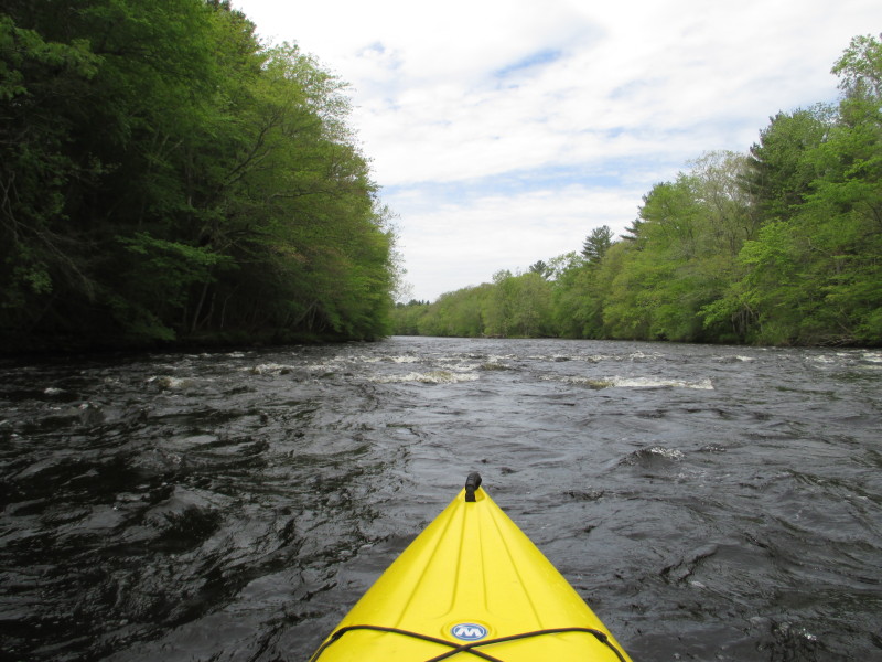
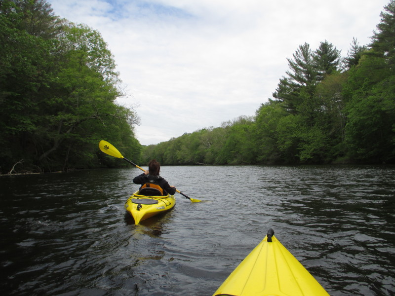
 Today's sky has sun with some clouds.
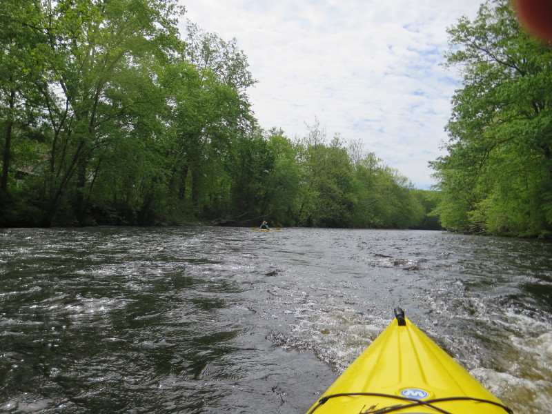
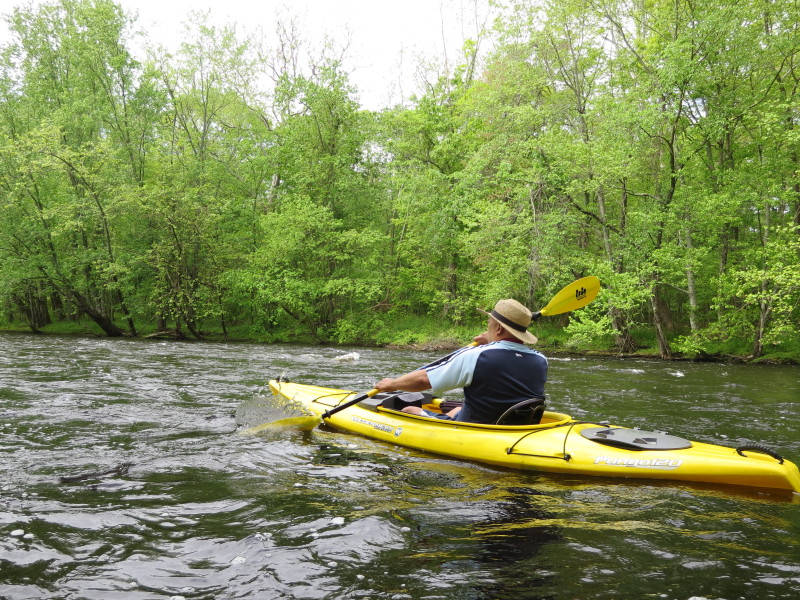
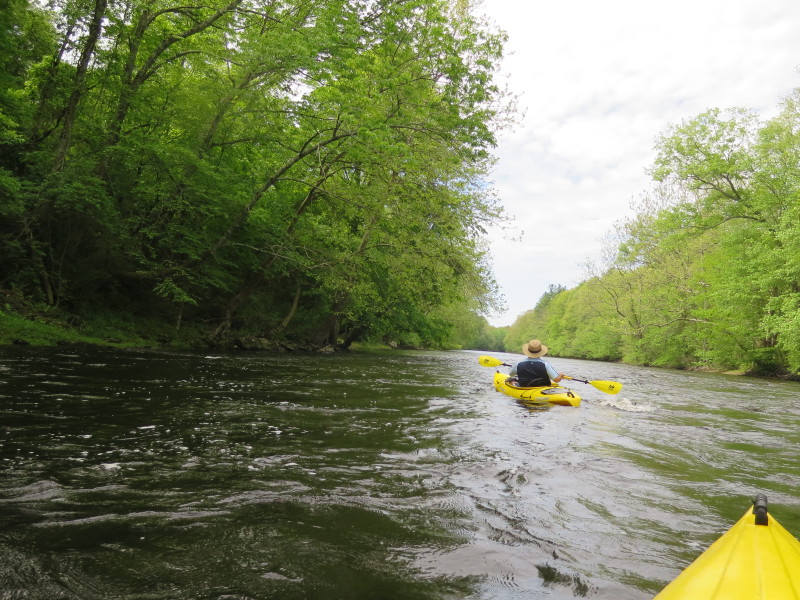
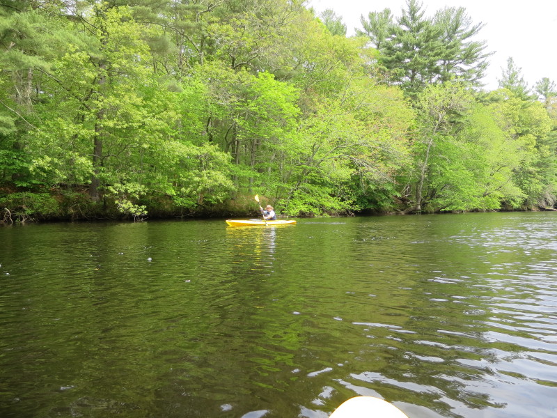
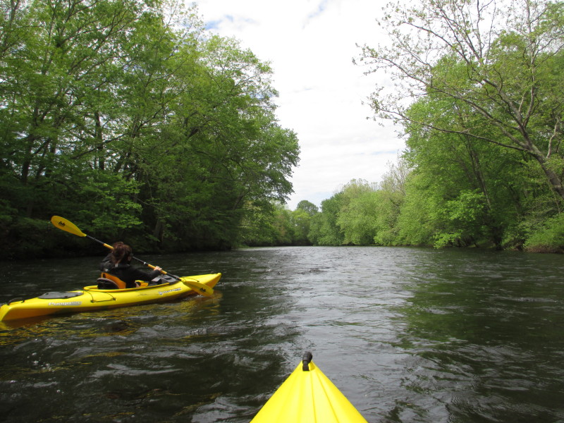
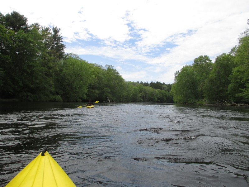
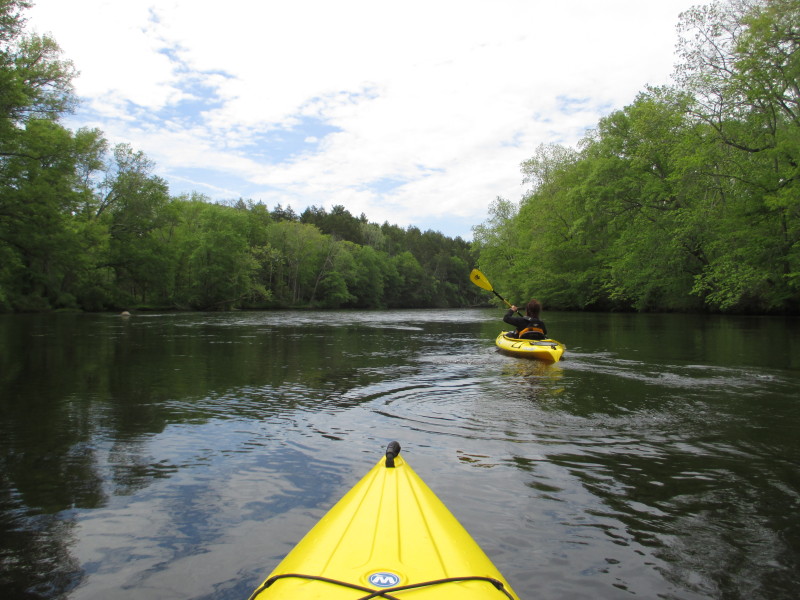
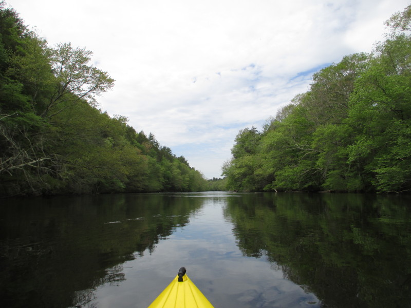
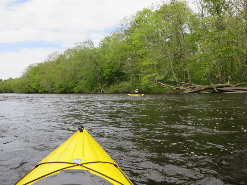
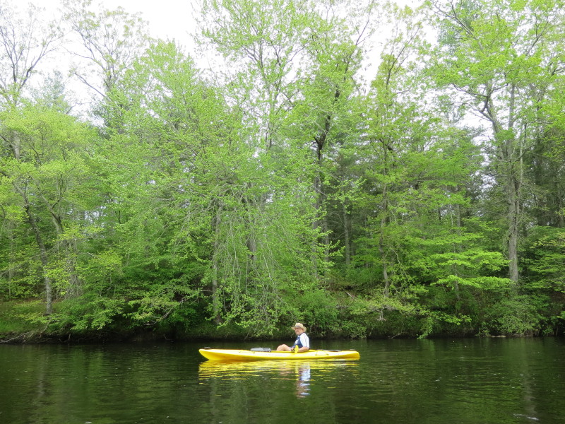
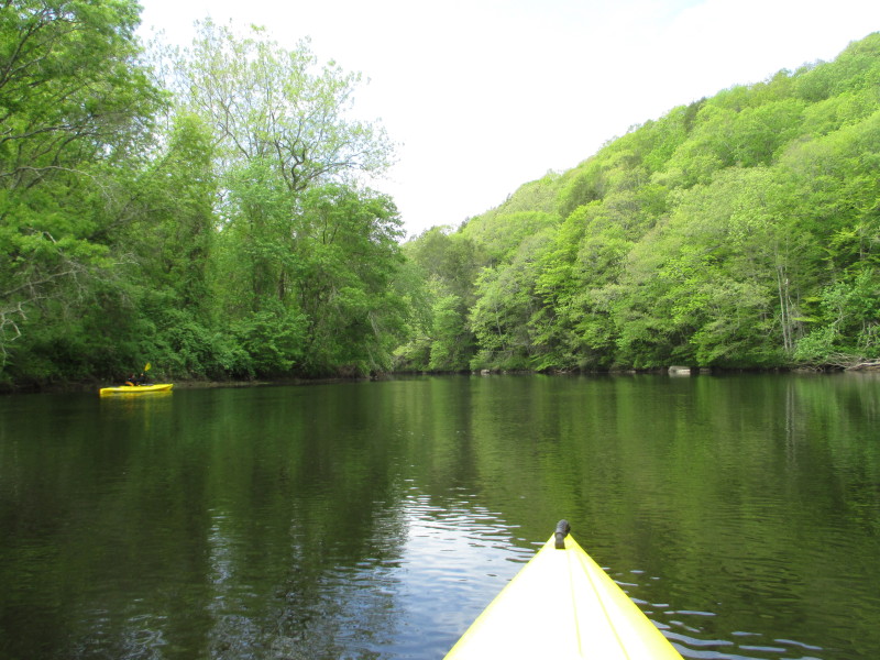
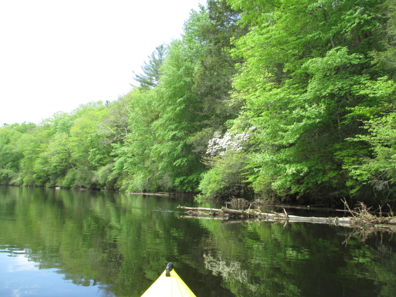
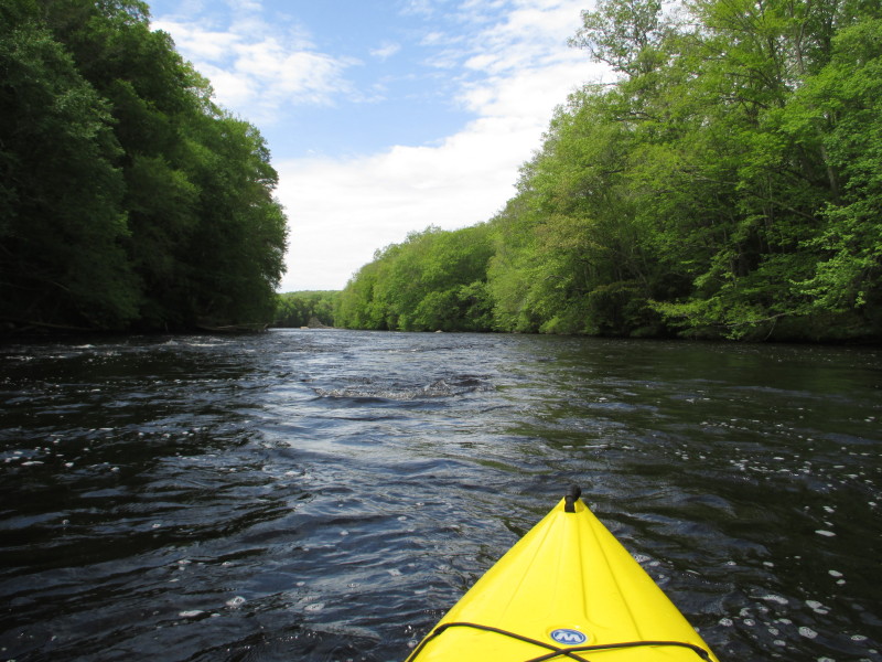
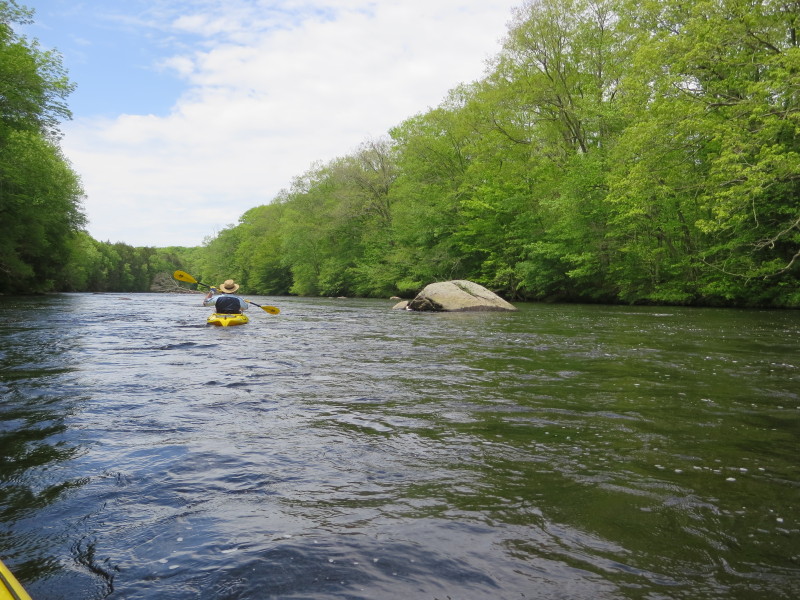
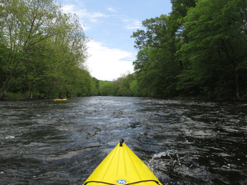
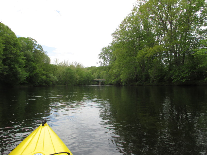
 Now into a calmer section of the Quinebaug.
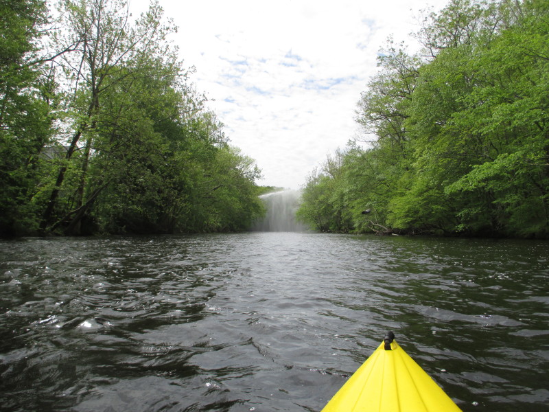 Hey, someone's spraying water over the river . . . ?!
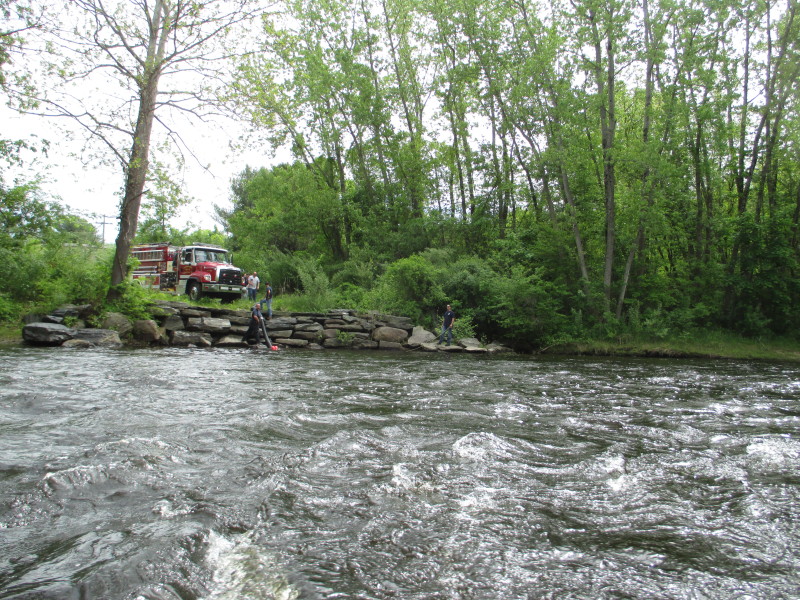 So these firemen (and a firetruck) were the ones spraying that water earlier!
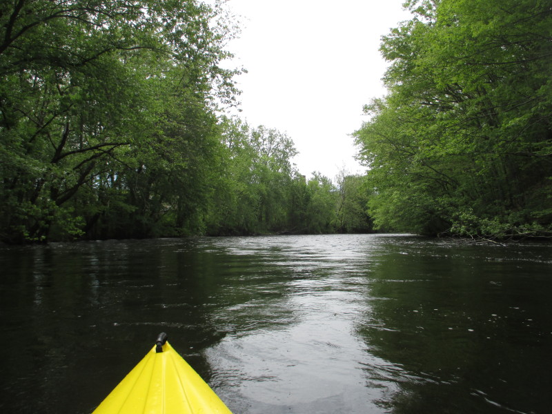
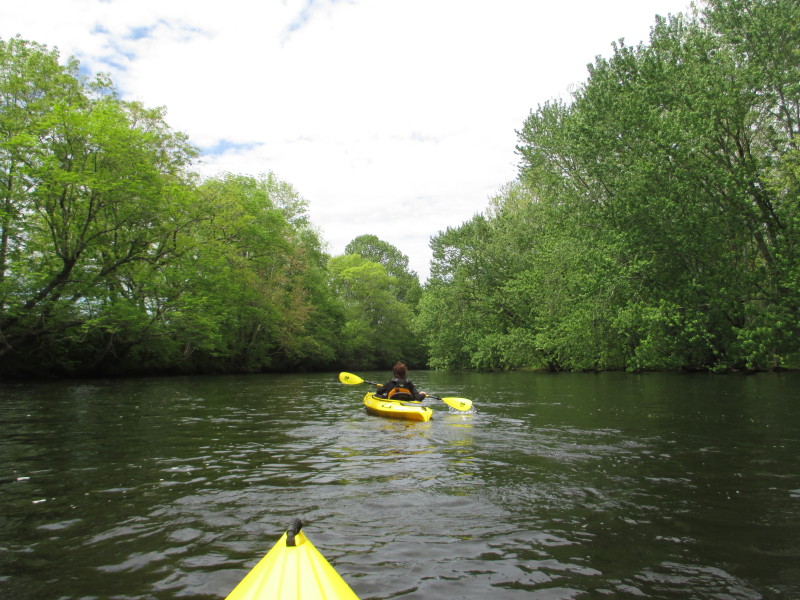
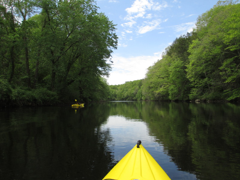
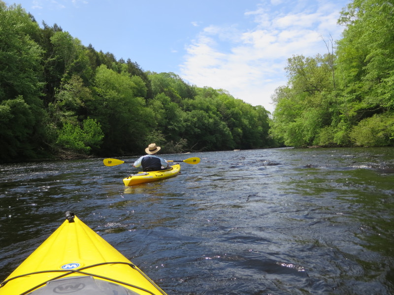
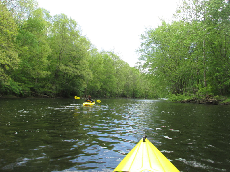
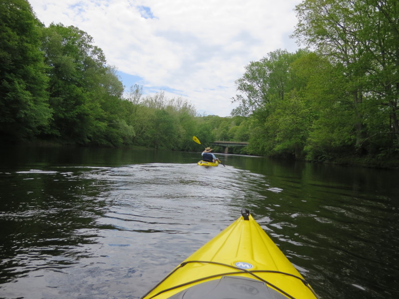
 Moving on.
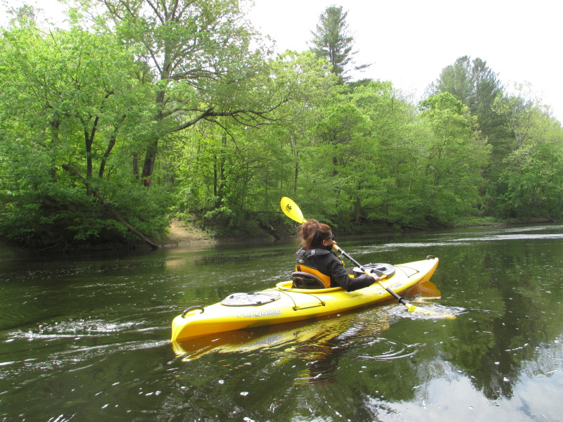
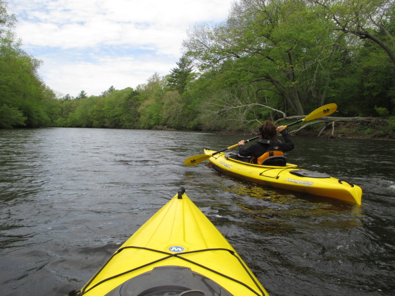
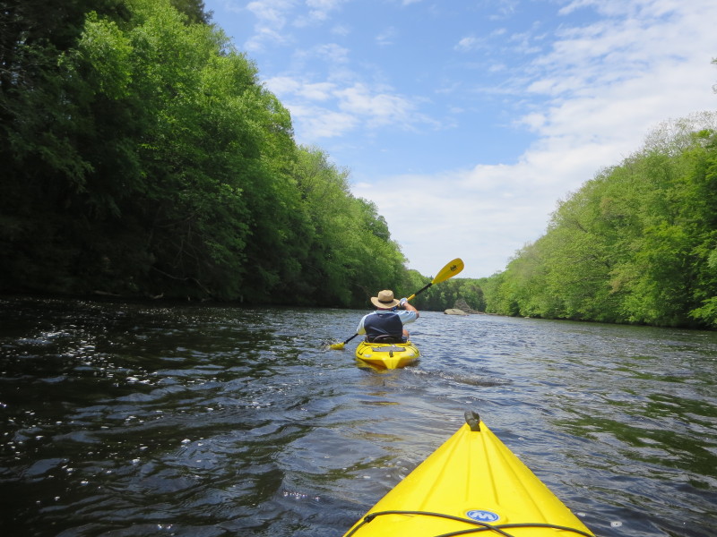
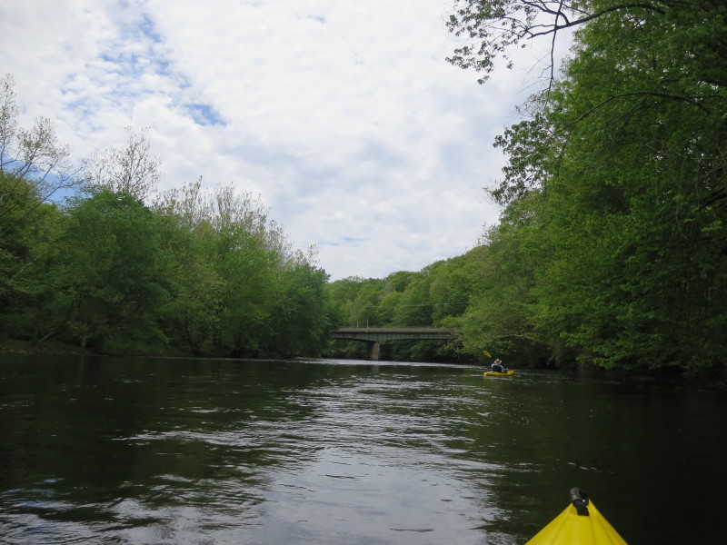
 The Boston Kayaker on Quinebaug River.
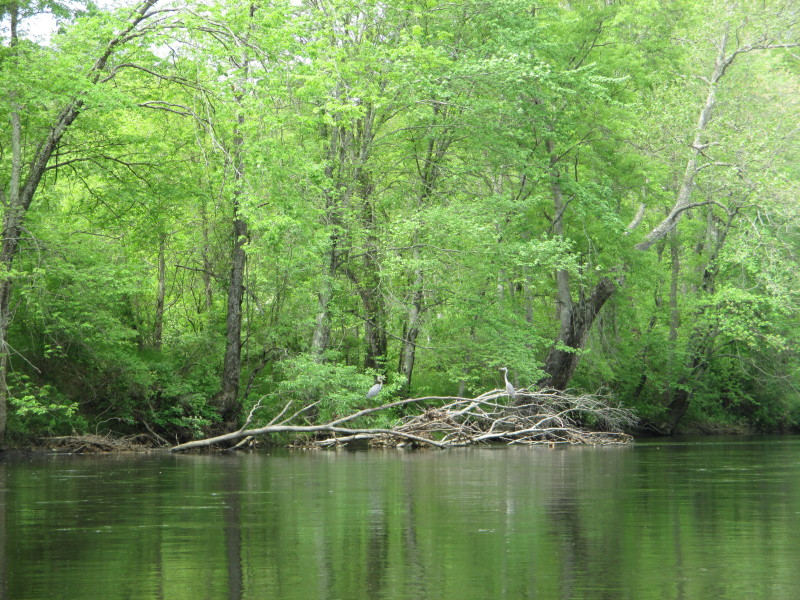
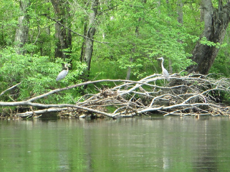 The resident herons of the Quinebaug.
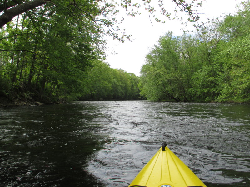
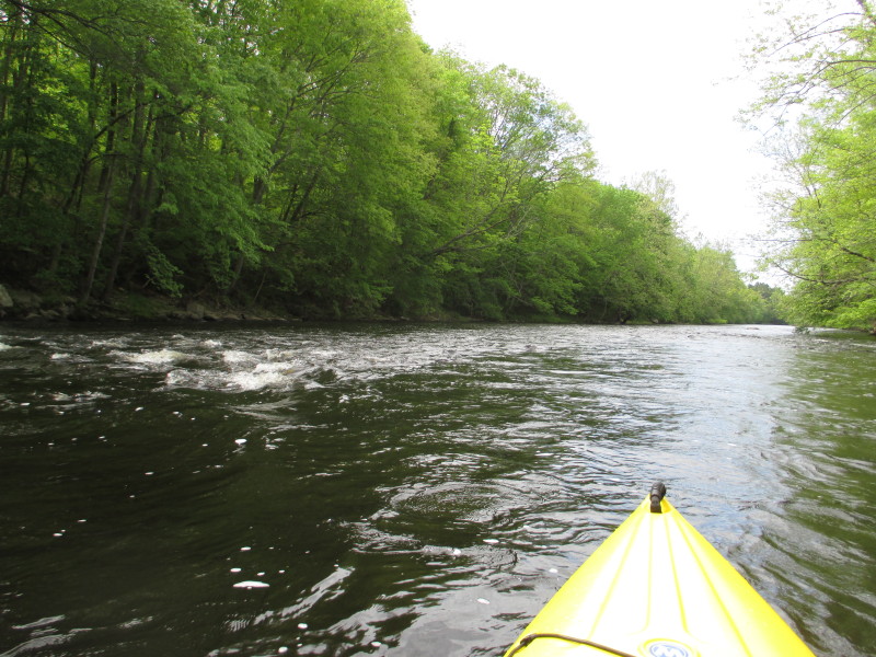
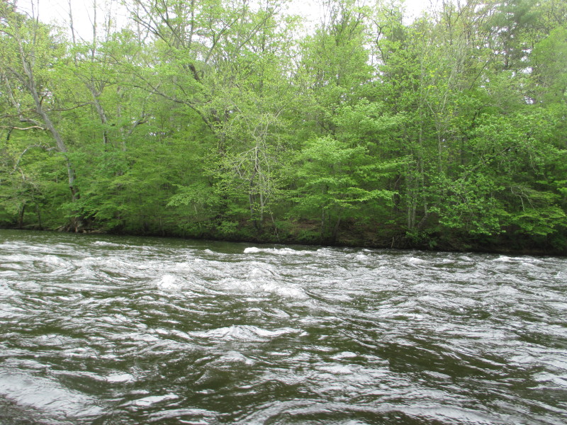
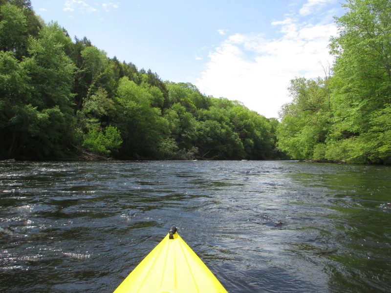
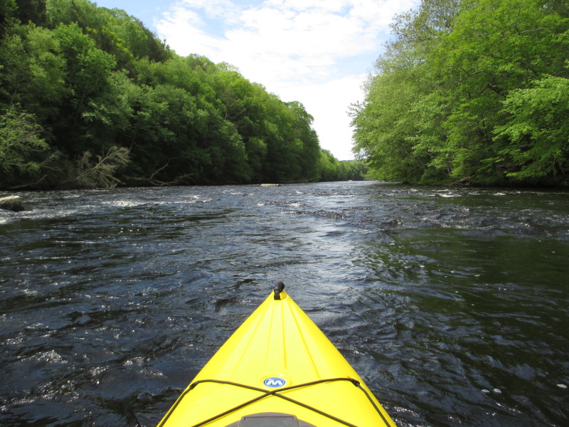
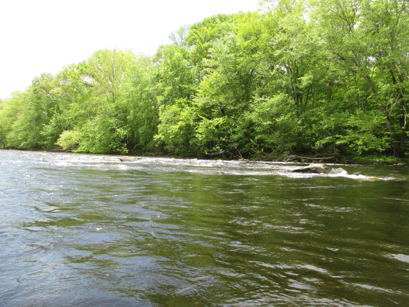
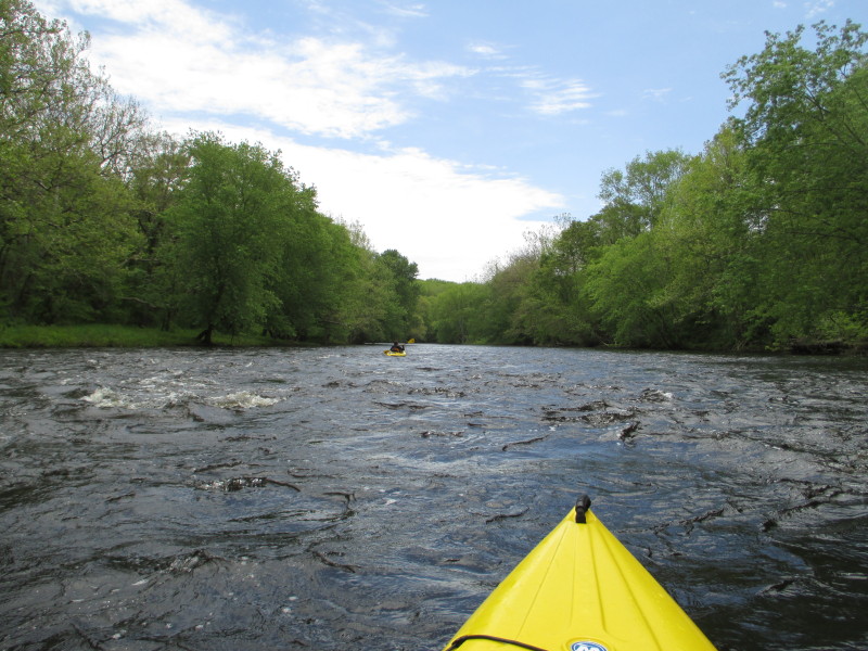
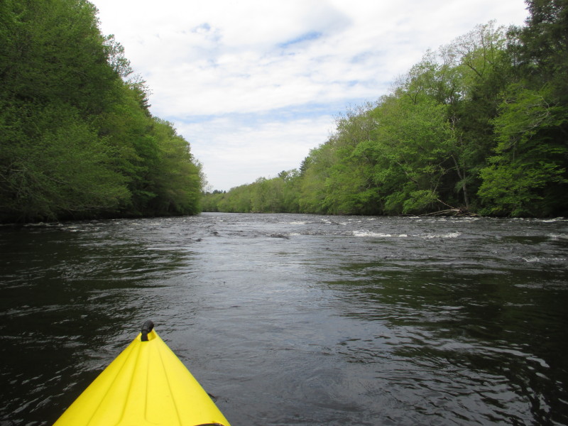 Rapids ahead.
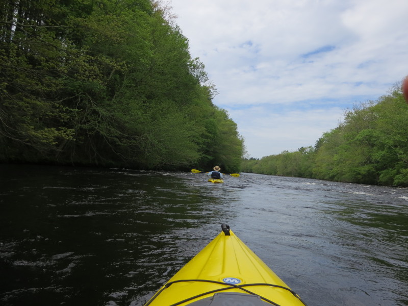
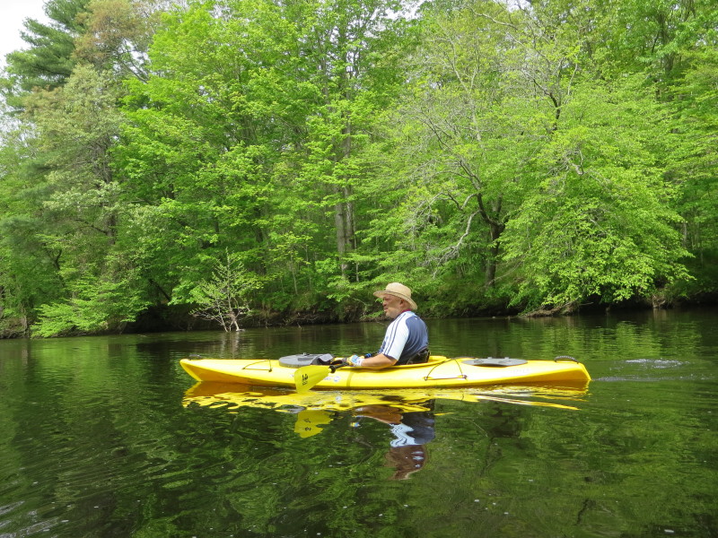
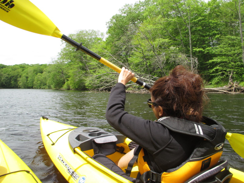
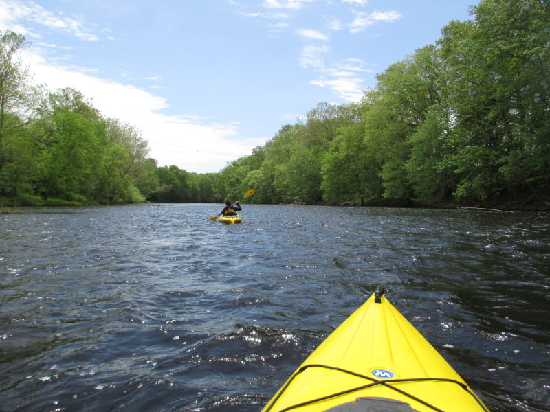
 Taking picture behind me.
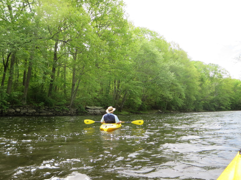
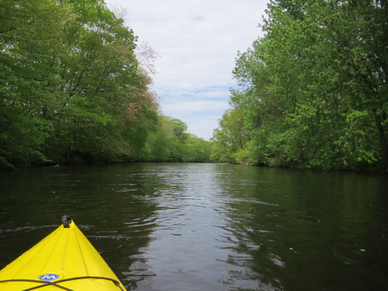
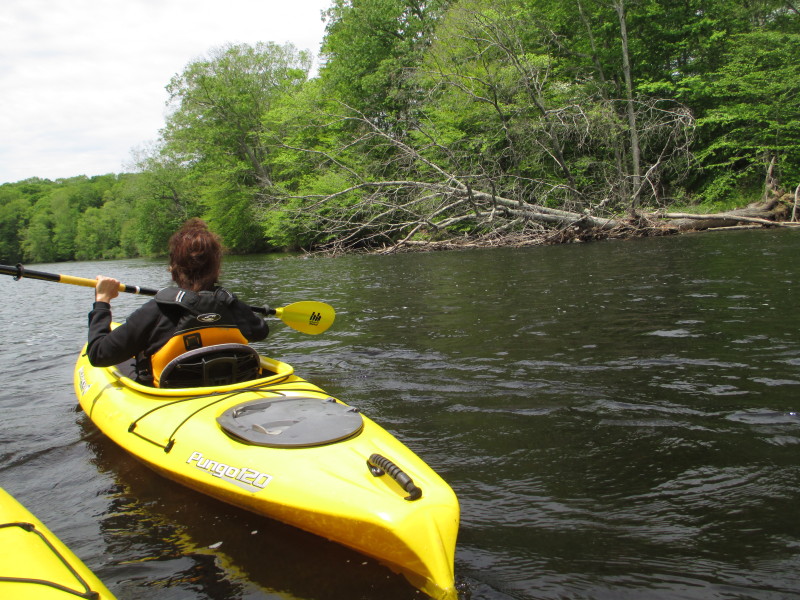
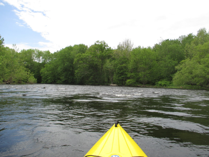
 Back to calm waters.
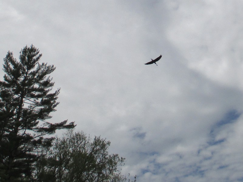 A blue heron flying over the Quinebaug River.

 Now the Route 14 bridge is in sight. The Route 14 bridge marks the end point of this trip.
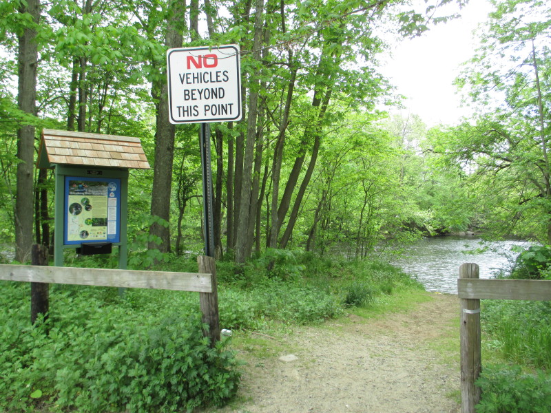
 Take out is on river right just before the bridge.

 At Robert Manship Park in Canterbury CT.
 The take out at Rovert Manship Park.
Paddle time is 1 hour 24 minutes. |