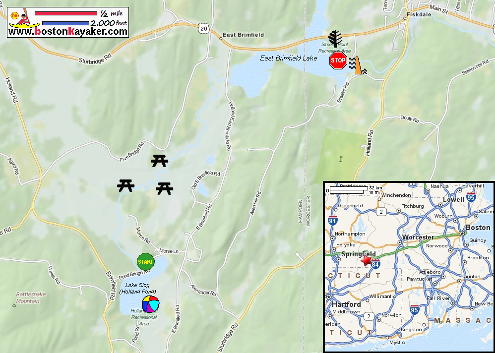
 Kayaker

| ||||||||||||||||||||||


|
Download printer-friendly
PDF version that fits in one page: |

|
|
Other resources:
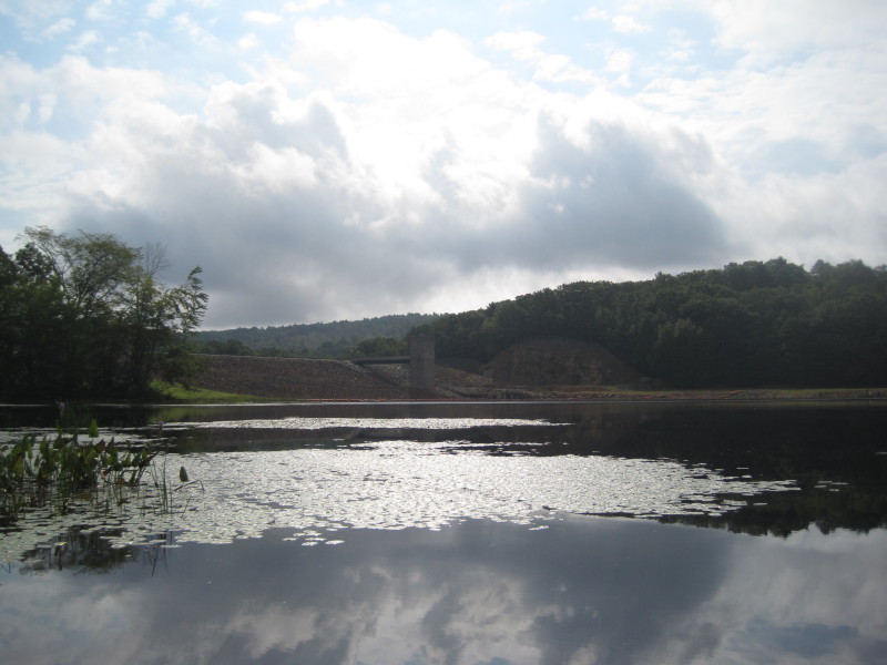
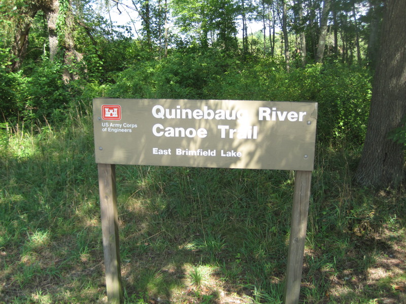
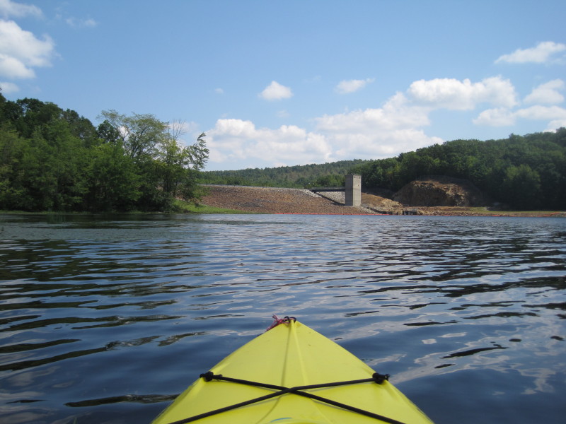
The Last Green Valley: The 2012 Quinebaug River Paddle Guide (see page 8 to 9) The Last Green Valley: The 2012 Quinebaug River Paddle Guide (cached copy) US Army Corps of Engineers: Quinebaug River Canoe Trail US Army Corps of Engineers: Holland Pond Map Paddling.net: Quinebaug River Trip Report 1 Paddling.net: Quinebaug River Trip Report 2 Paddling.net: Quinebaug River Trip Report 3 Paddling.net: Quinebaug River Trip Report 4 Wikipedia: Quinebaug River All photos in this website are original and copyrighted. 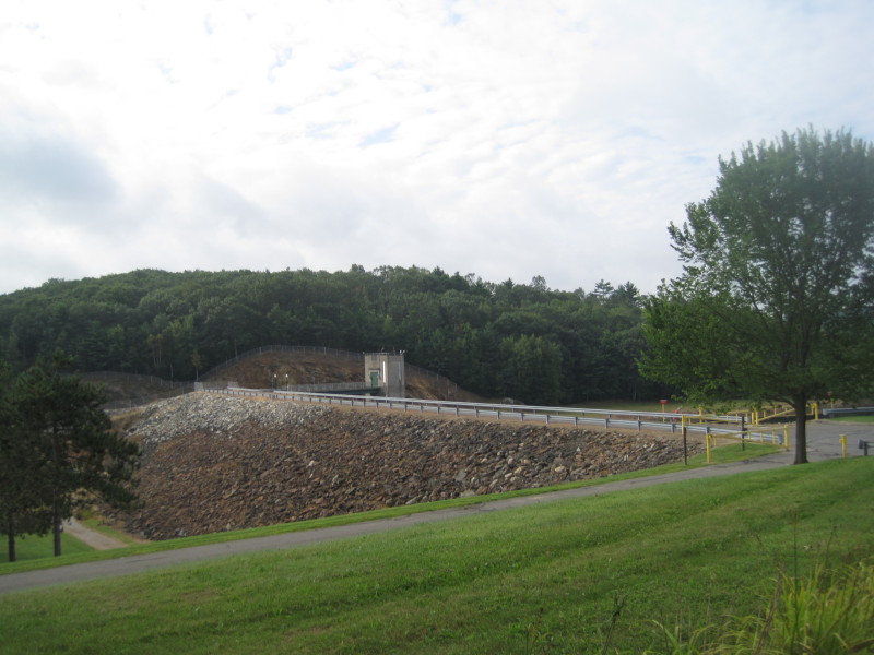 East Brimfield Dam
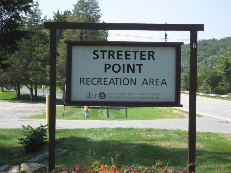
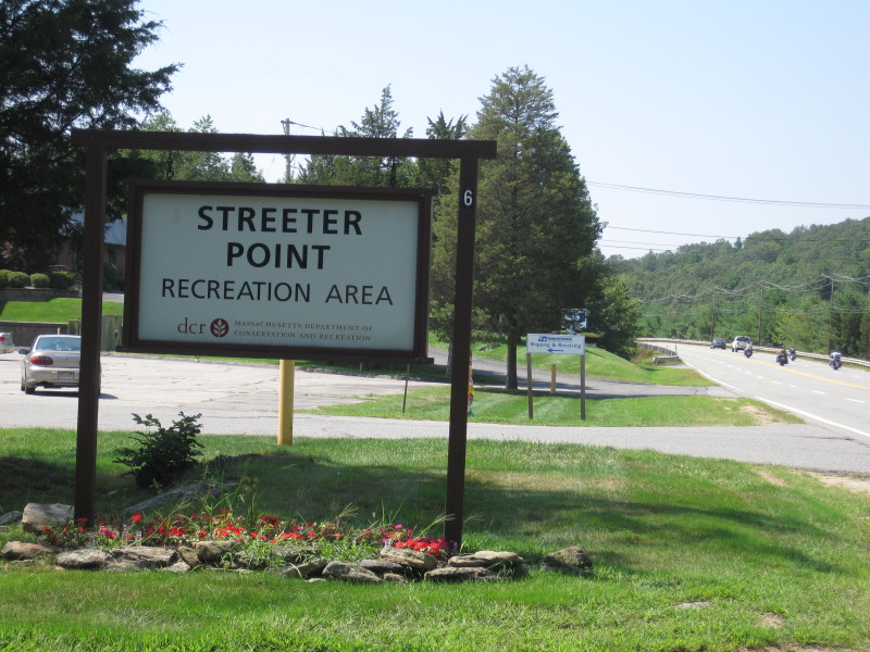 Entrance to Streeter Point State Park from Route 20.
Pictures taken August 2011. 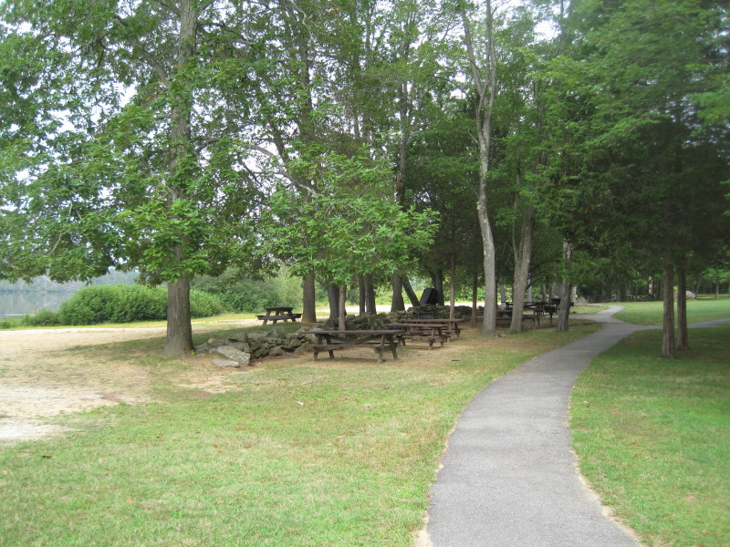 Benches at Streeter Point State Park.
 The put in spot is within site of East Brimfield Dam.
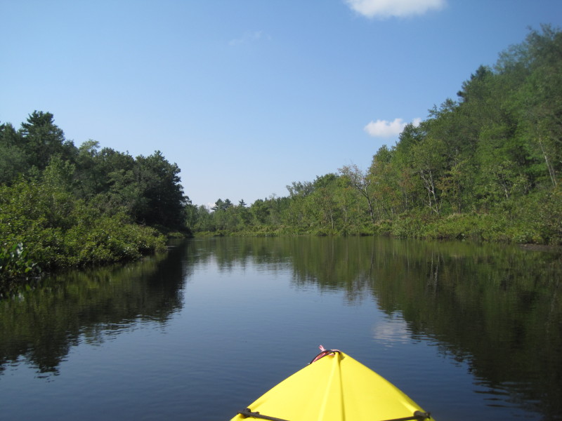
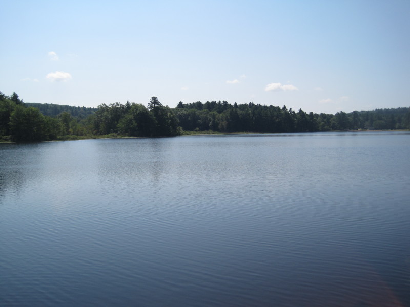
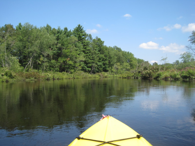
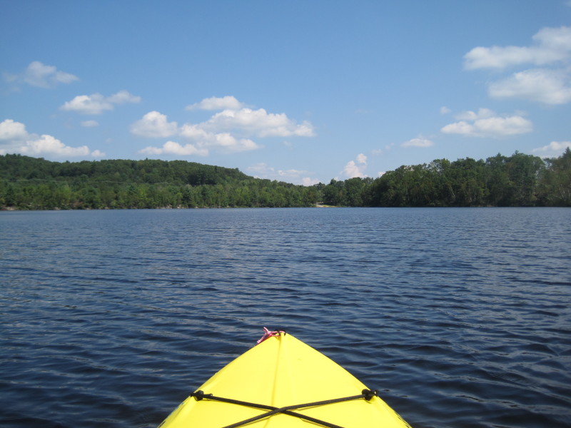
For this trip I did a round trip starting from Streeter Point State Park (the designated take put in on the map above) to Holland Pond (designated put in) and back. 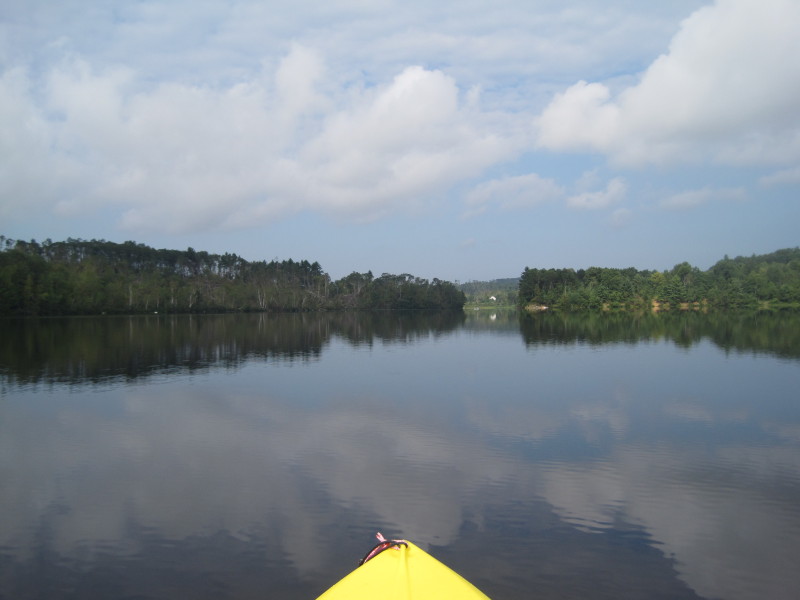 East Brimfield lake looking westward from near the put in.
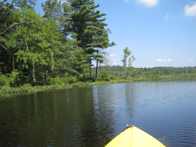
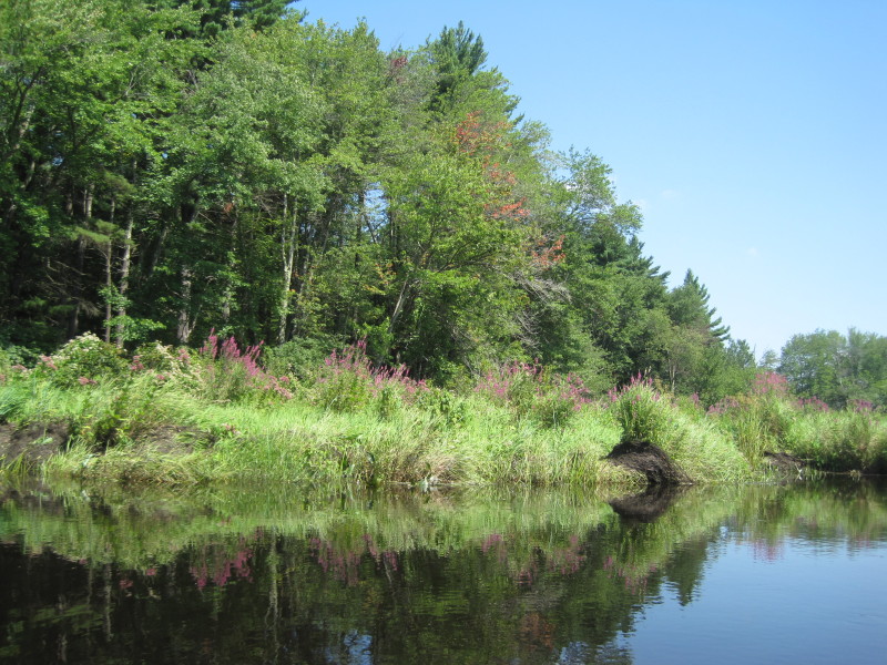
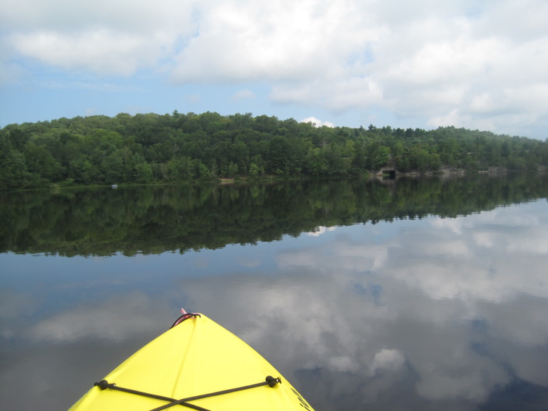 South bank of the lake.
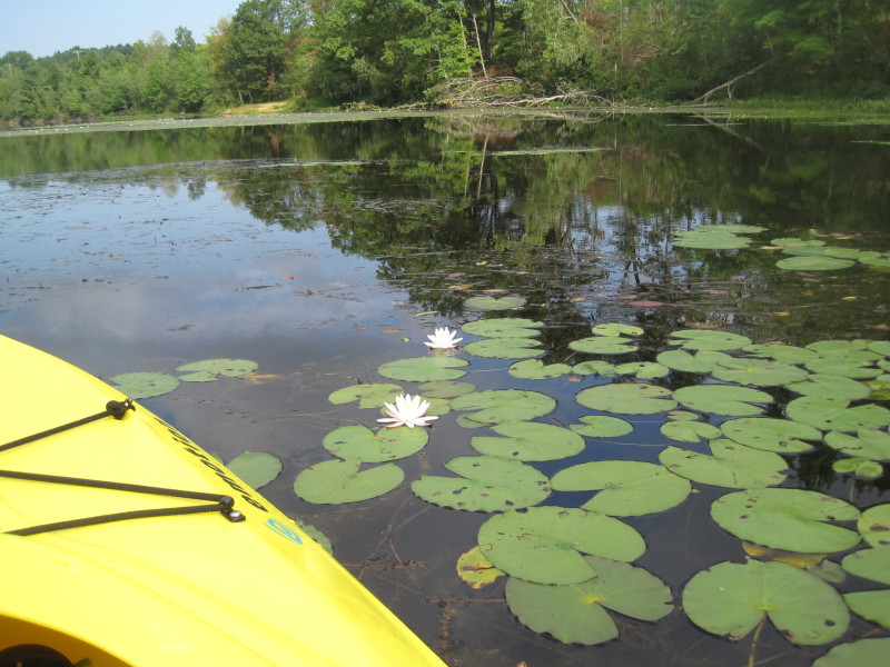
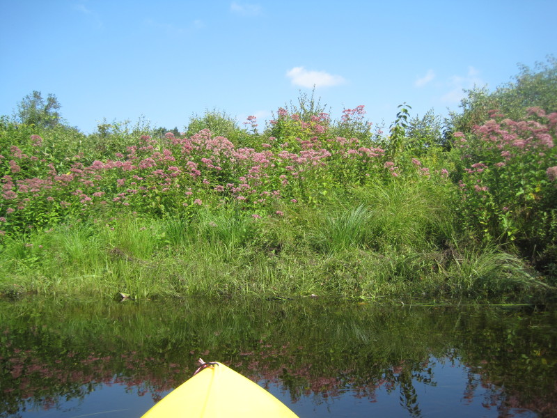
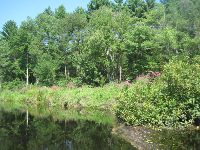
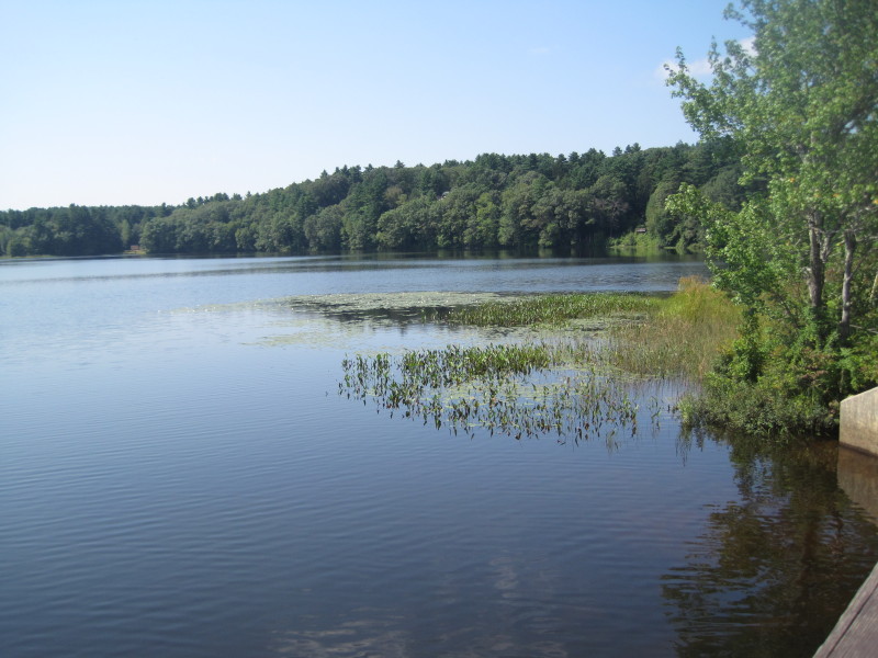
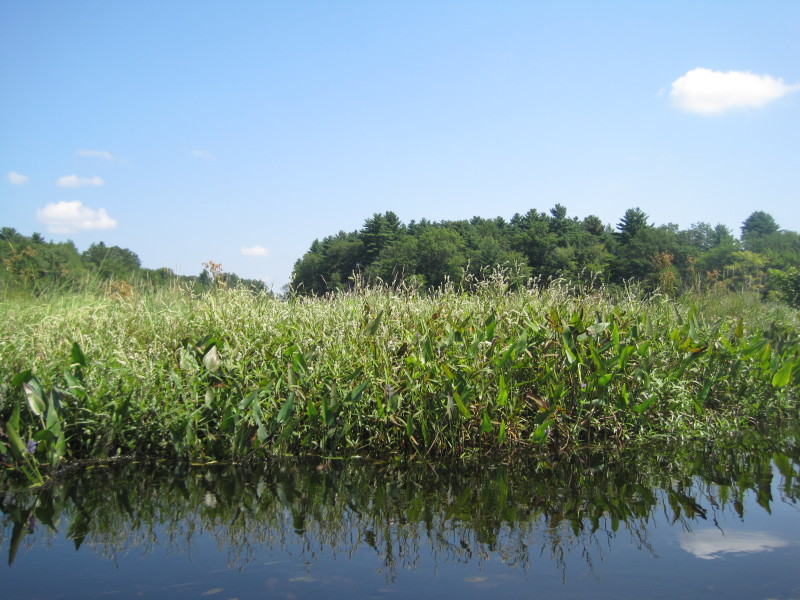
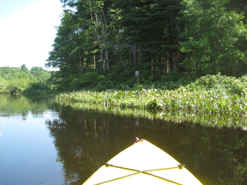
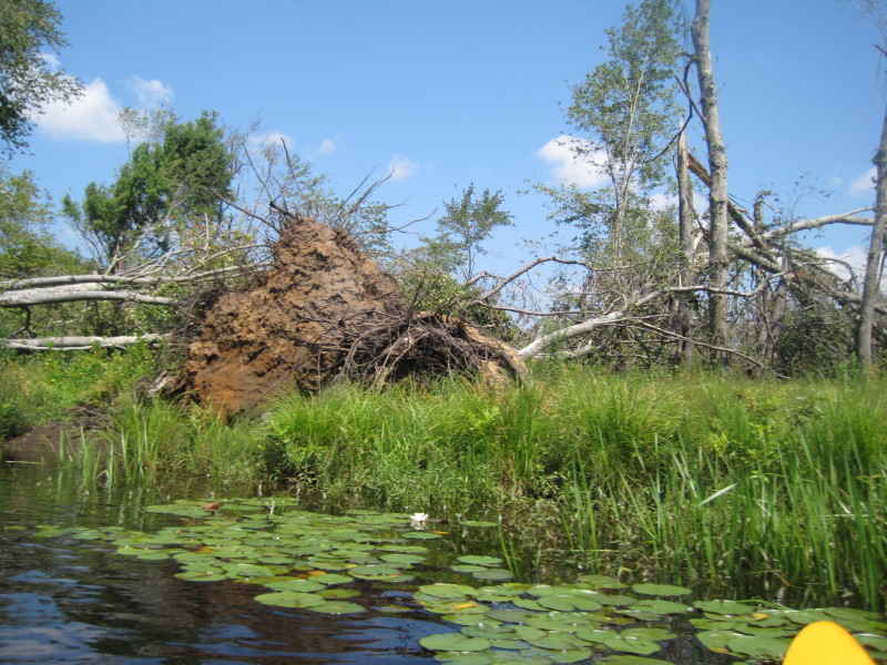
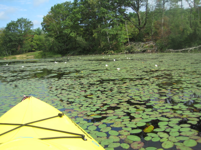 Nature's water garden.
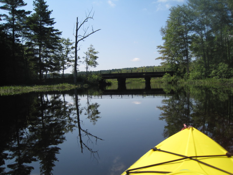
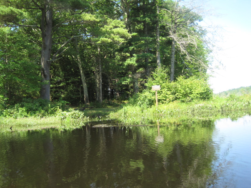
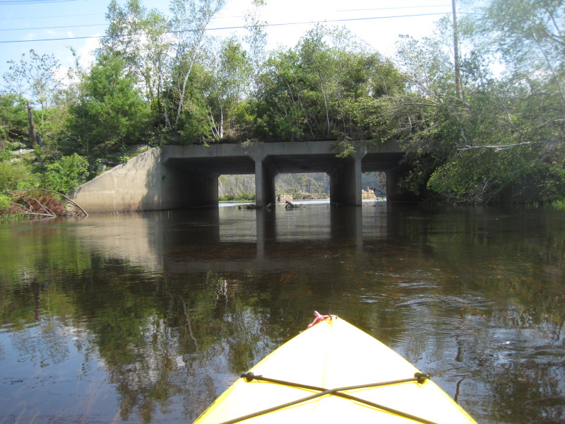
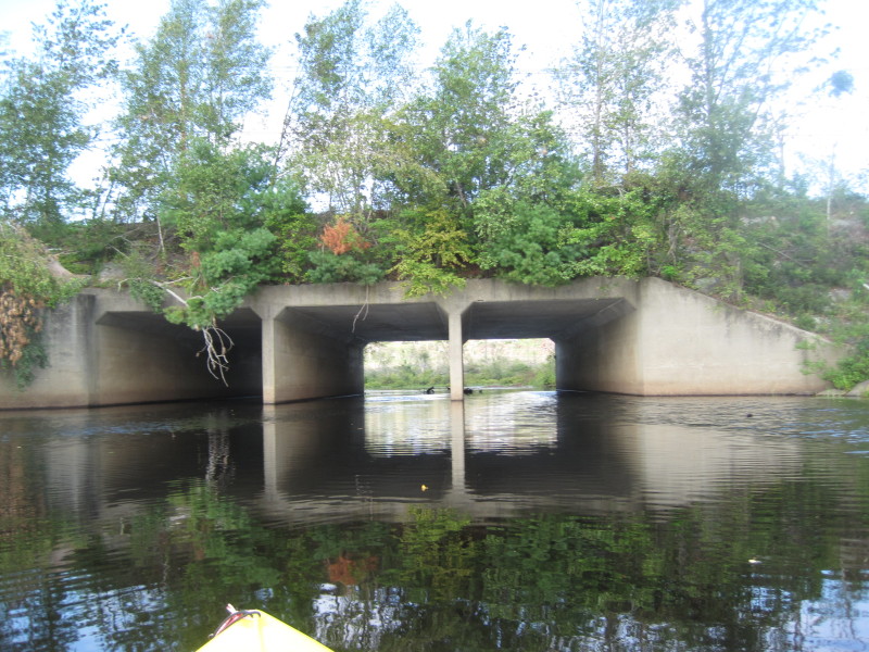 The Holland East Brimfield Road bridge is the point where the Quinebaug River enters the East Brimfield Lake.
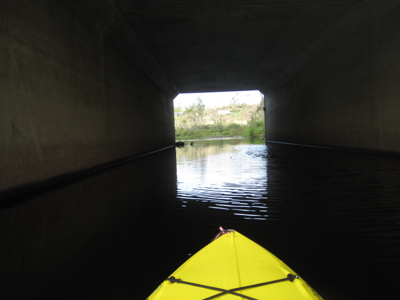 Going thru Holland East Brimfield Road bridge tunnel.
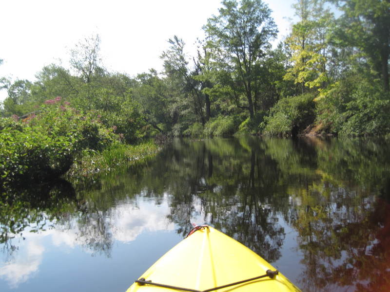
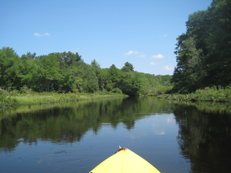
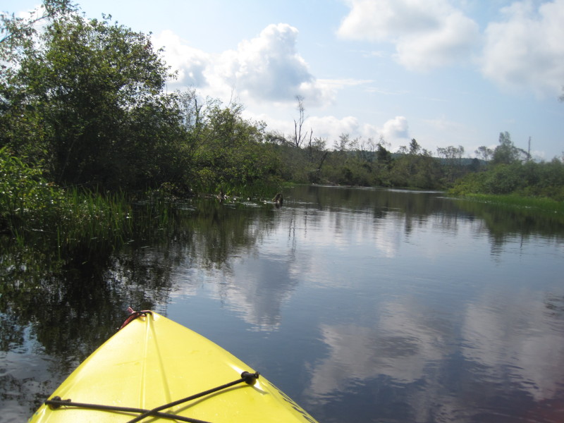 Right afer passing the bridge tunnel, becomes Quinebaug River and water flow becomes obvious.
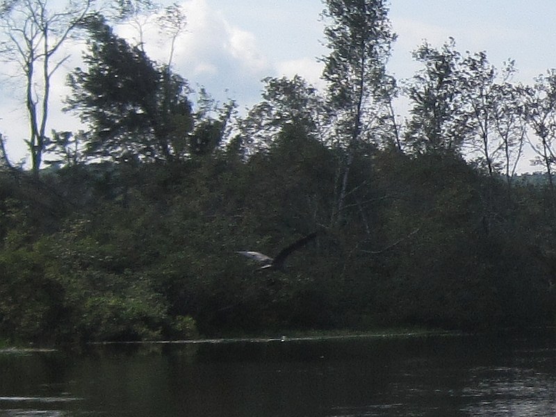
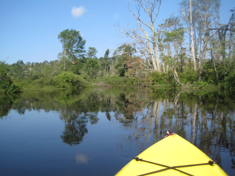
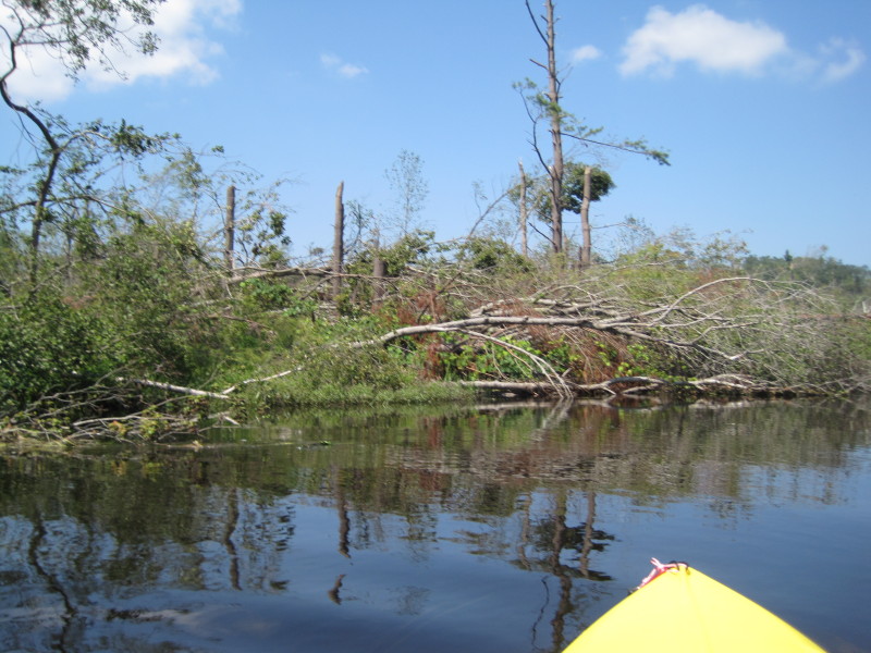
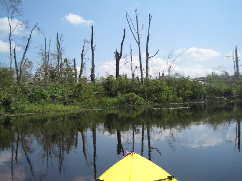
Bird in flight. 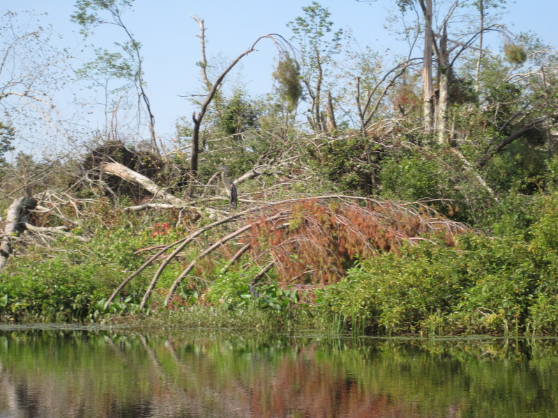 These trees were downed by a tornado two months earler in June 2011.
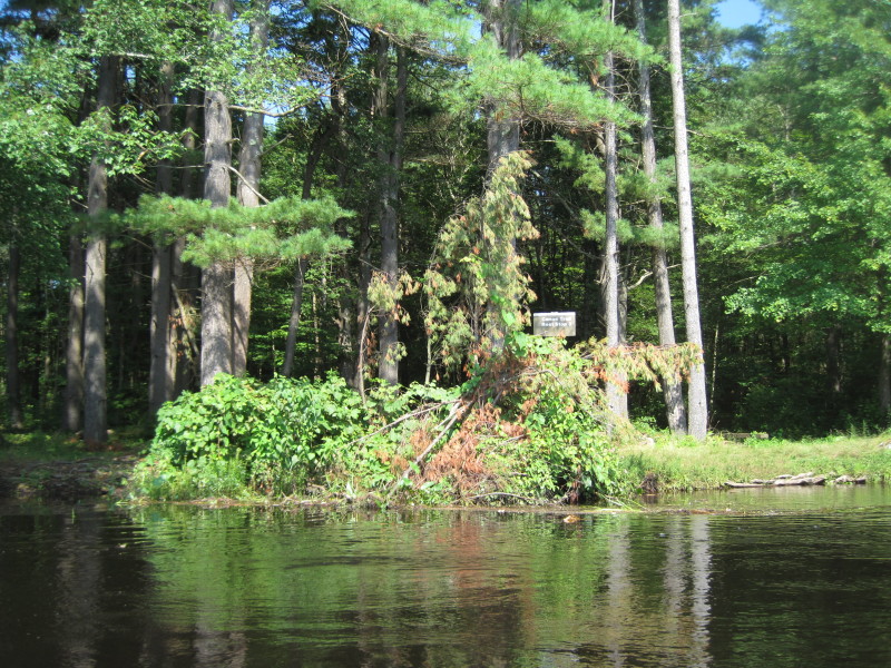 Trail Rest Stop 3 on my right bank (I am paddling upriver).
 Trail Rest Stop 2.
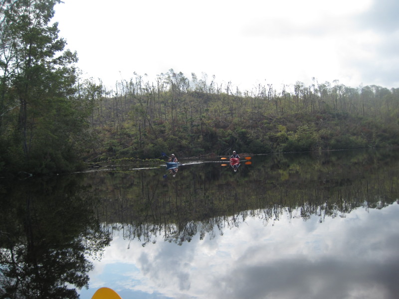
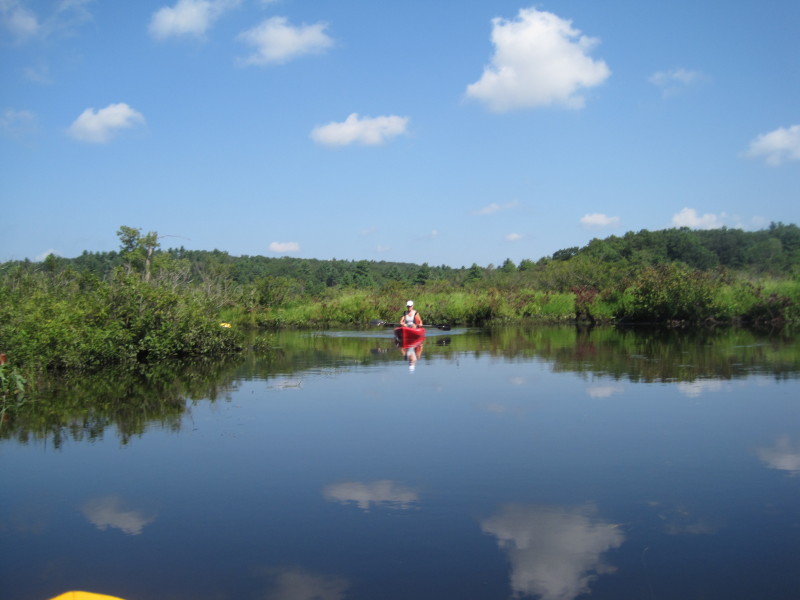 Always a pleaure to see other kayakers on a river bend.
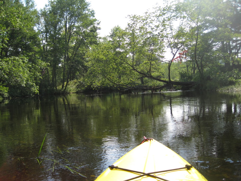
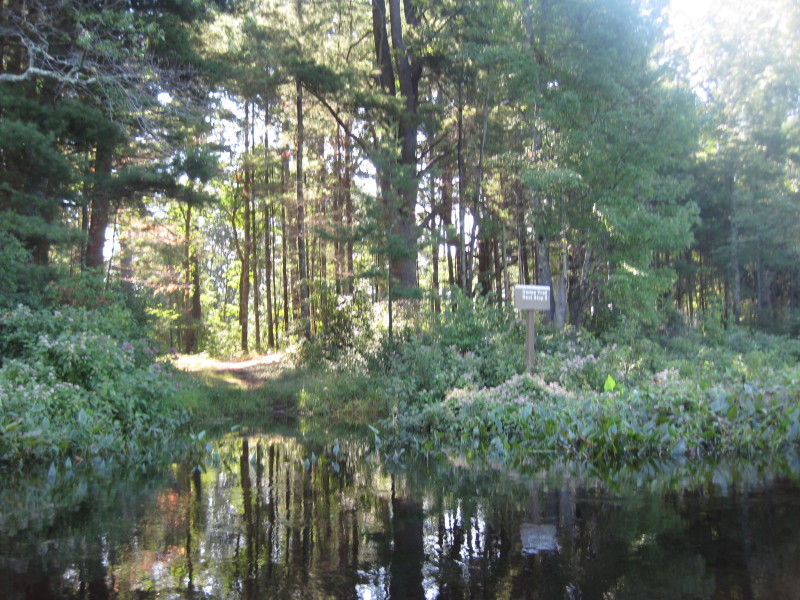
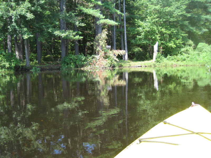
 Trail Rest Stop 1.
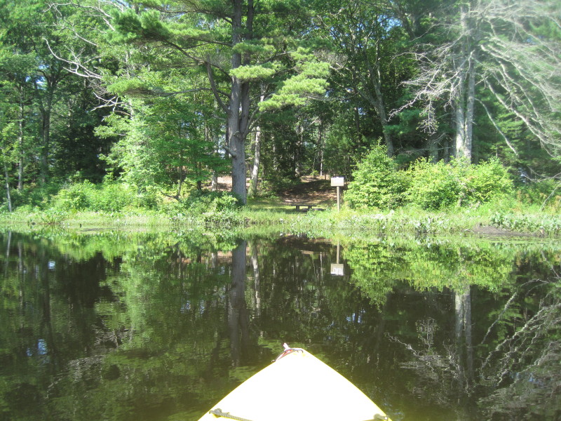
 I am within site of the Pond Bridge road just before Holland Pond (designated put in on the map above).
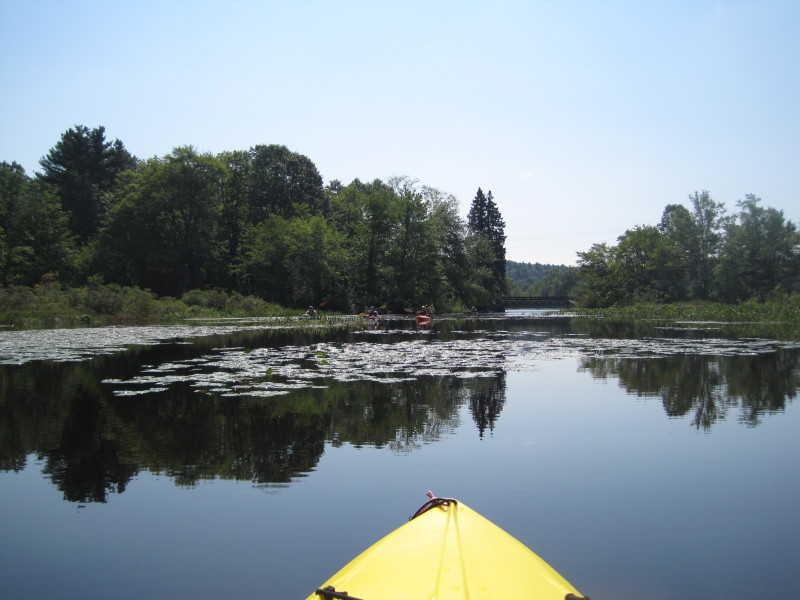
A group has just launch their kayaks. 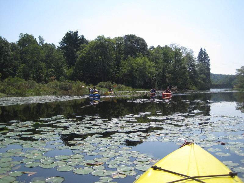
 Landed for a break.
 Holland Pond viewed from the bridge.
 West side of Holland Pond.
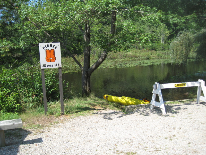
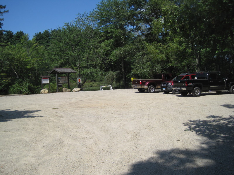 The canoe/kayak launch area on Pond Bridge Road in Holland.
Can fit 10+ cars.
The canoe/kayak launch area on Pond Bridge Road in Holland.
Can fit 10+ cars.
 Start of my return trip. Now paddling down-river.
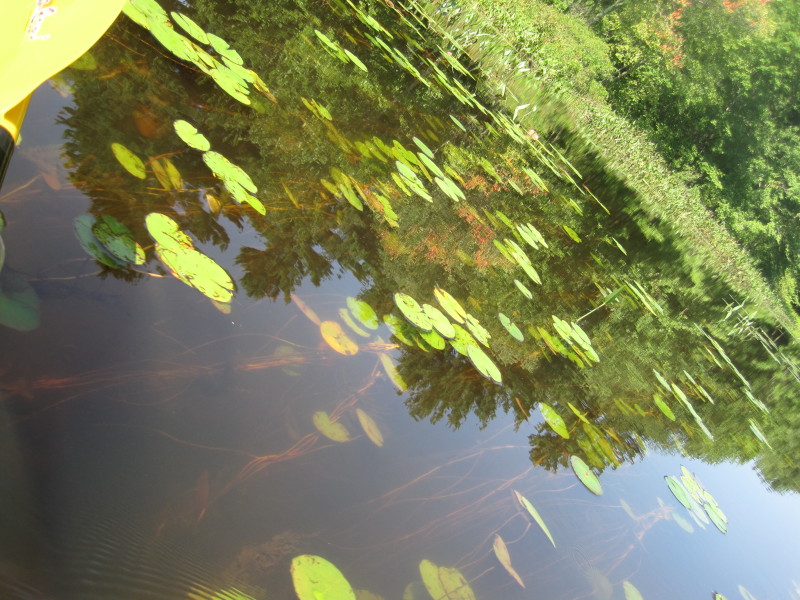 Water clear enough to see the root system of this water garden.
 Trail Rest Stop 1 again. It is on a bend.
 Trail Rest Stop 2 again, now on my right.
 Trail Rest Stop 3. Decided to beach here and have a quick look.
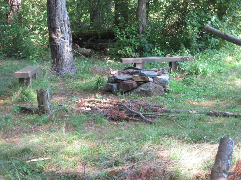 Benches and fire place at Trail Rest Stop 3.

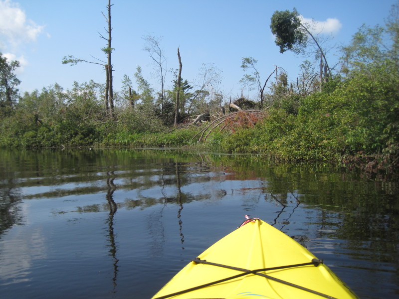
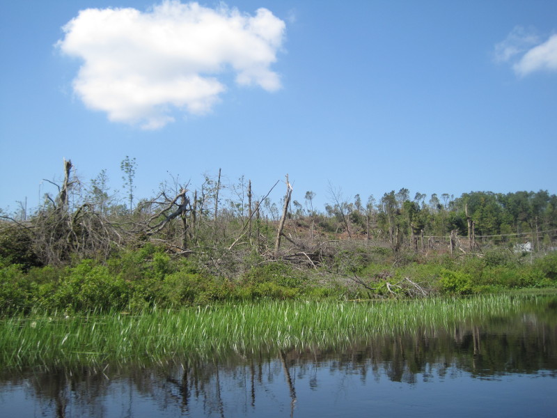
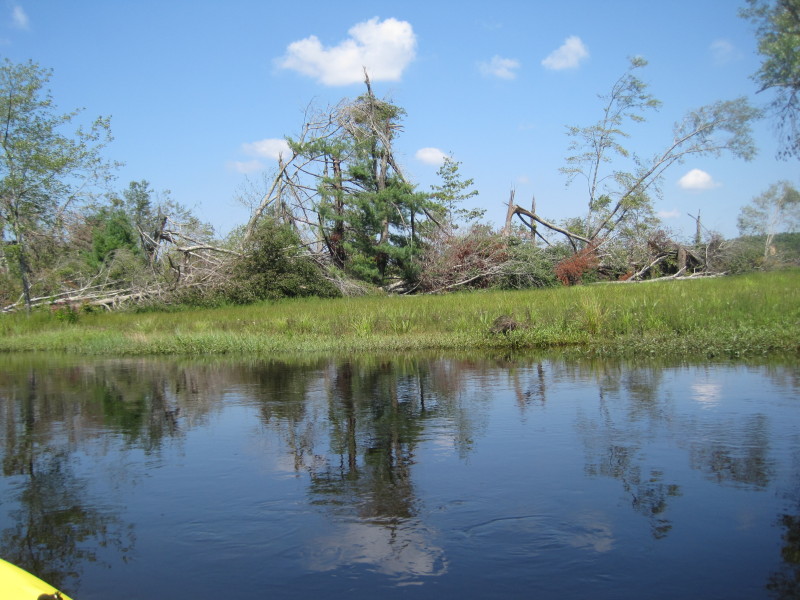 The tornado left a trail of destruction on the trees.
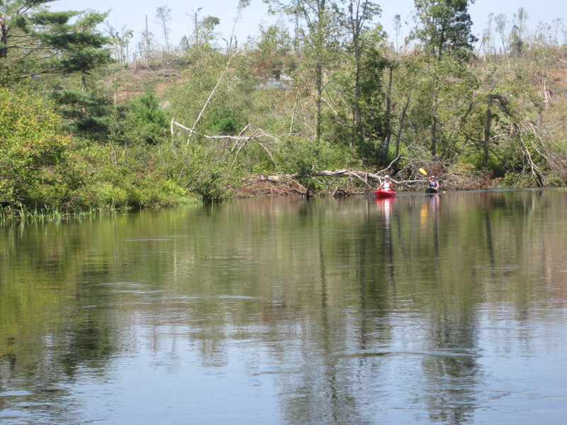 Same kayak couple I met earlier.
 I will be re-entering the East Brimfield Lake again past this tunnel.
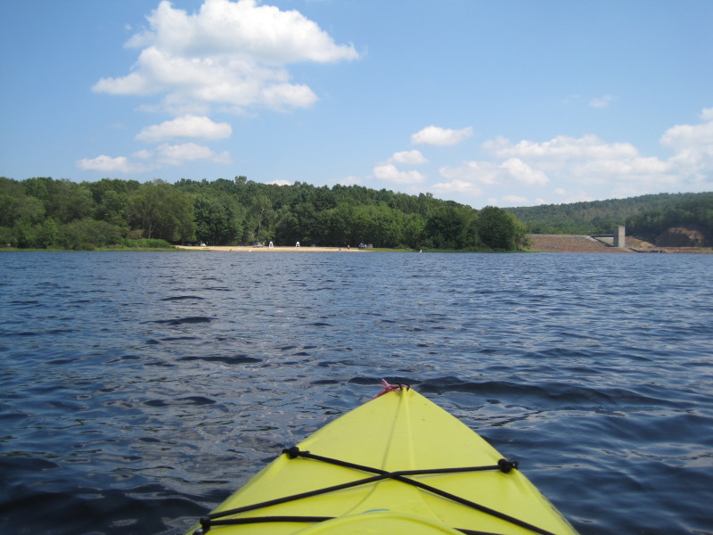 Streeter Point beach is that cleared area on the left. The structure on the right is the East Brimfield Dam.
 Take out is just to the left of the dam.
 Land ahoy! I can see my car in the parking lot.
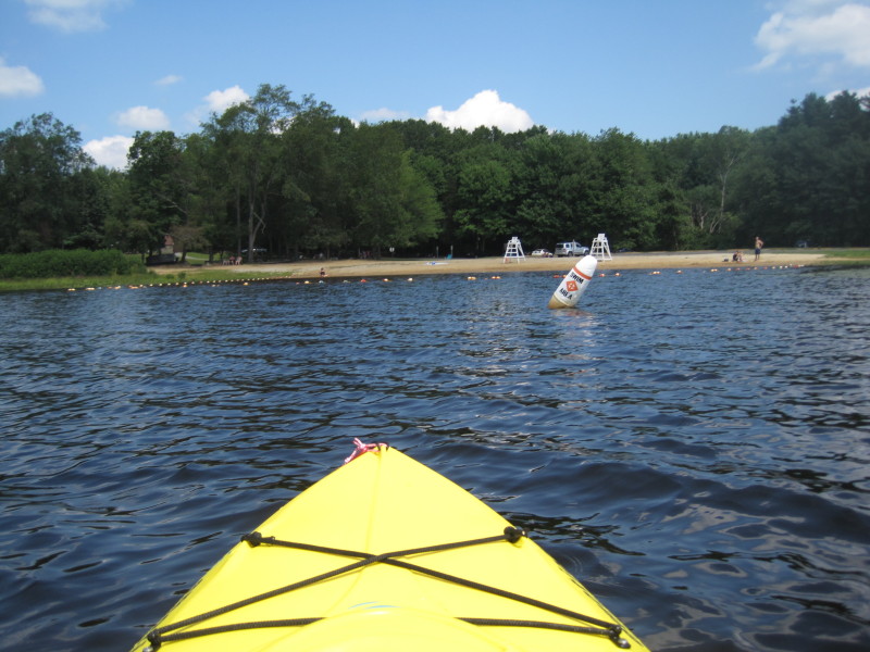
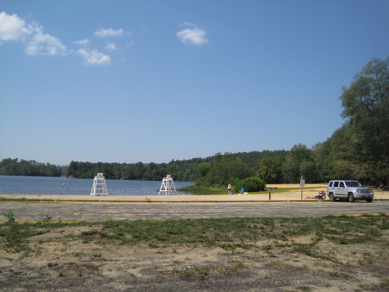 The Streeter Point beach is unguarded due to budget cuts.
|