 Kayaker

|


|
Download printer-friendly
PDF version that fits in one page: |

|
|
Other resources:
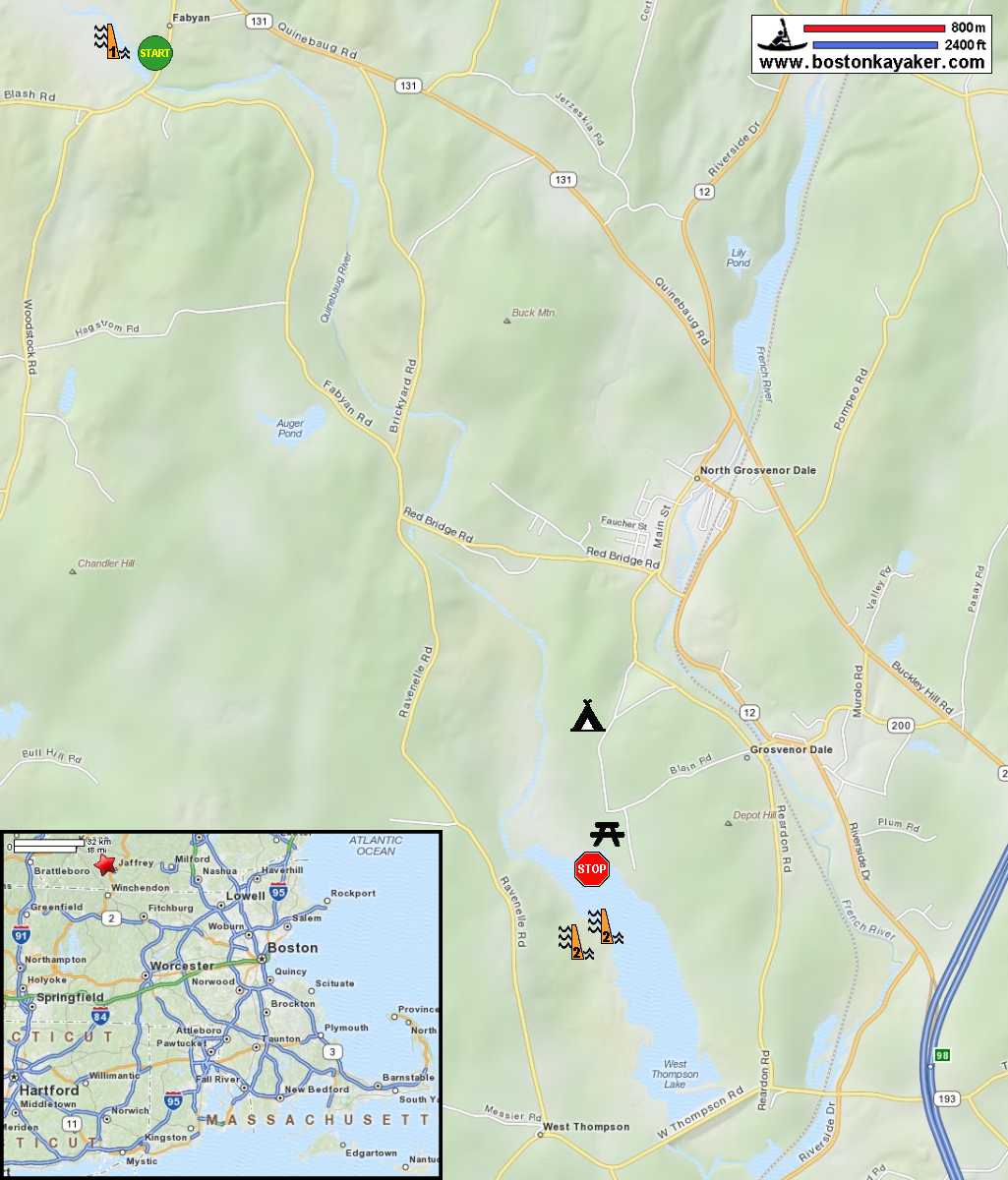
USGS Quinebaug River Gauge at Quinebaug CT National Recreation Trails: Quinebaug River Water Trail The Last Green Valley: The 2012 Quinebaug River Paddle Guide (see pages 14-15) The Last Green Valley: The 2012 Quinebaug River Paddle Guide (cached copy) Paddling.net: Quinebaug River - Kayak Trip US Army Corps of Engineers: West Thompson Lake West Thompson Lake Campground REI Guidepost: West Thompson Lake and Quinebaug River All photos in this website are original and copyrighted. 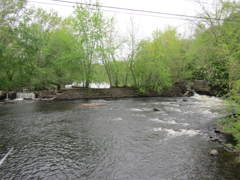 Trip date May 2012.
We are at the put in to Quinibaug Rive on Fabian Road bridge in North Grosvenordale CT. The Fabyan Dam seen from the bridge on the upstream side. 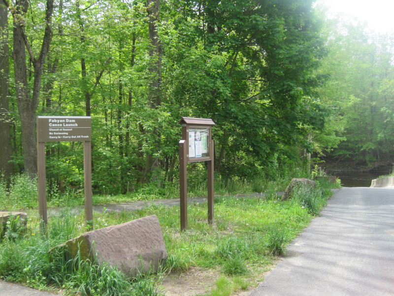 The ramp access to Quinebaug River at Fabian Road bridge.
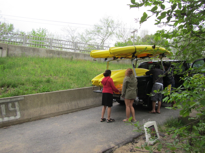 Unloading . . .
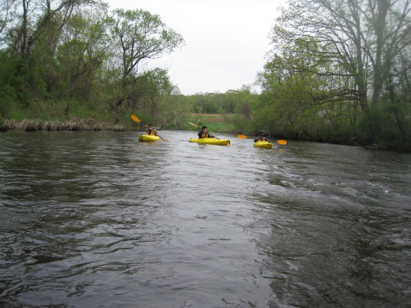
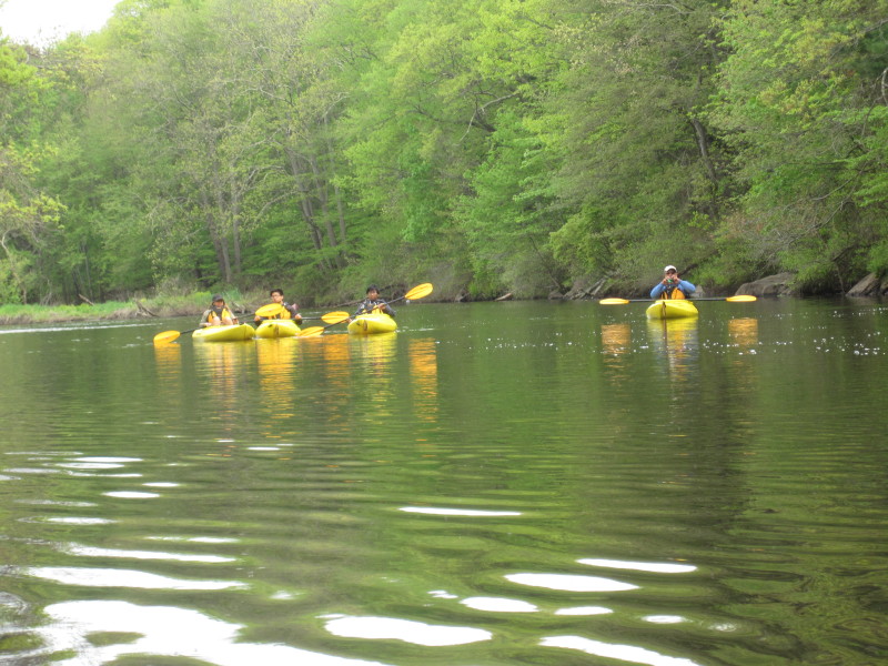
 Here we go! I always launch my family and last to launch.
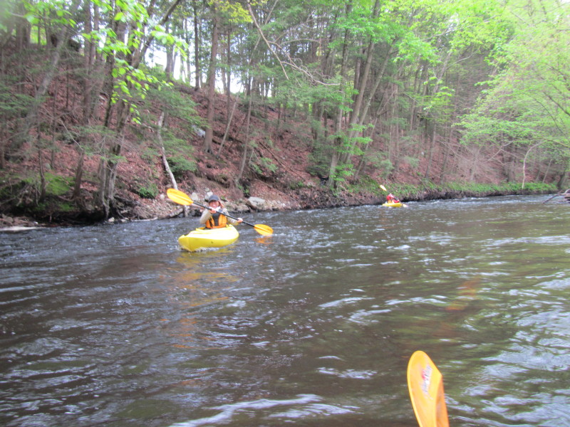
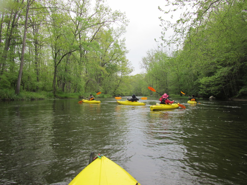
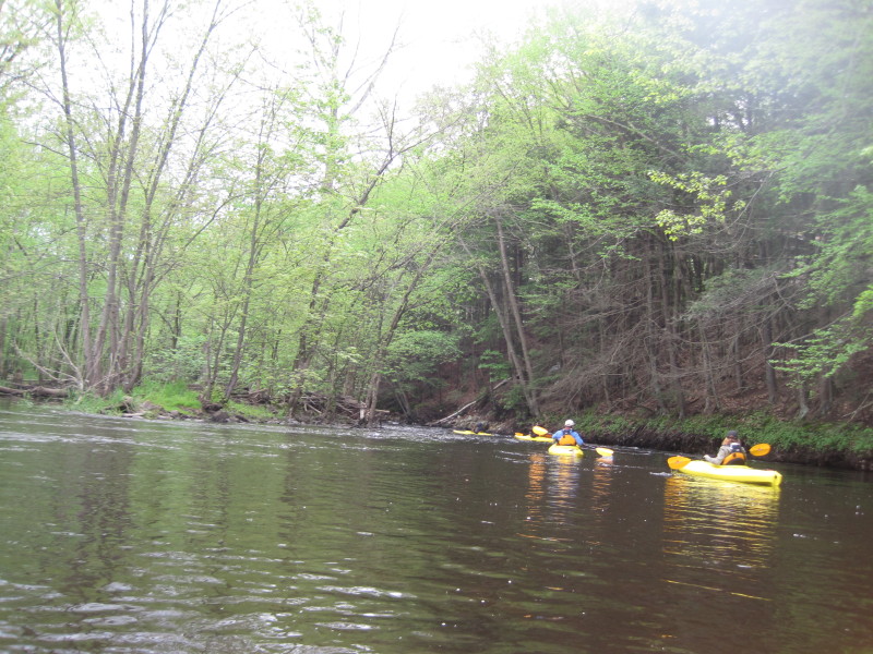
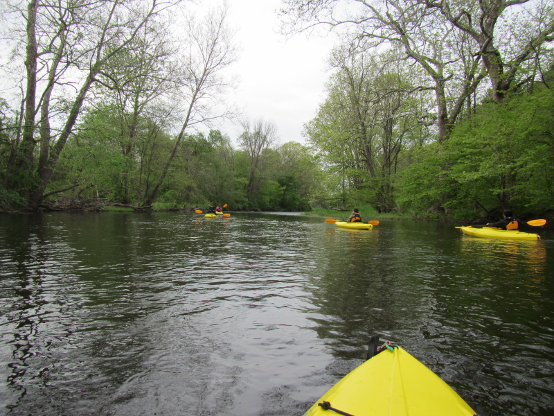
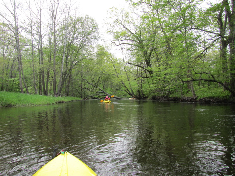
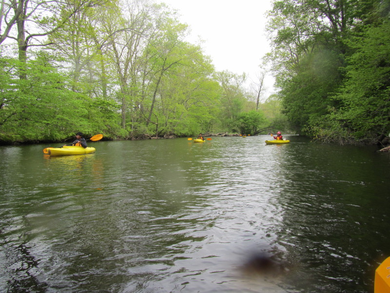
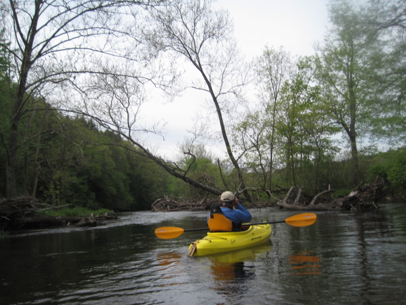
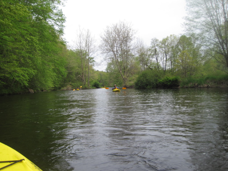
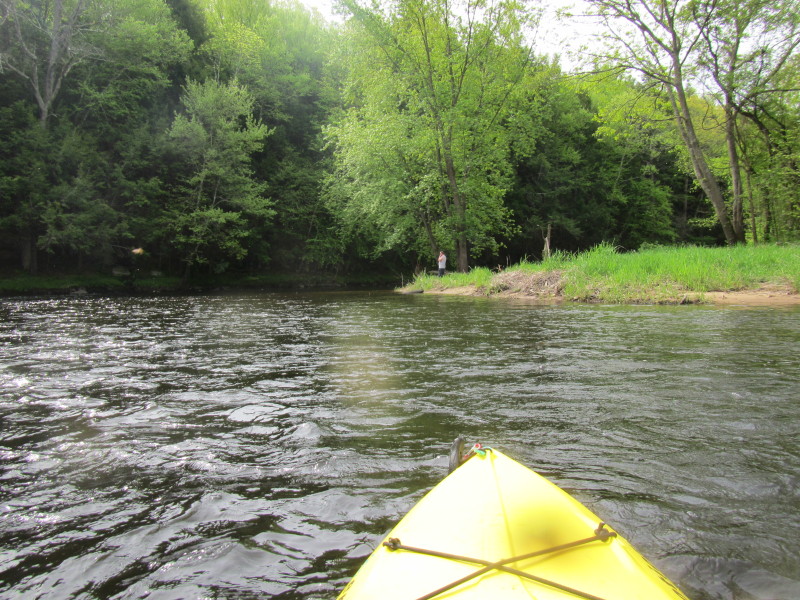
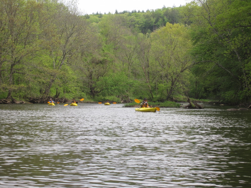
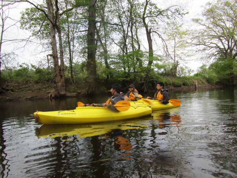
 This will be the first of many riffles and quick water.
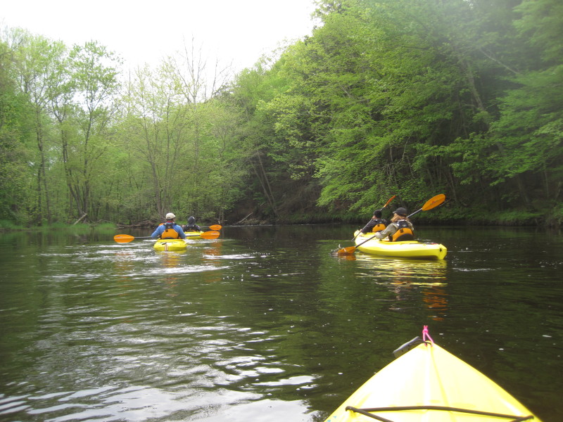
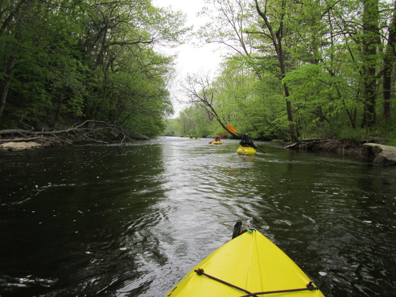
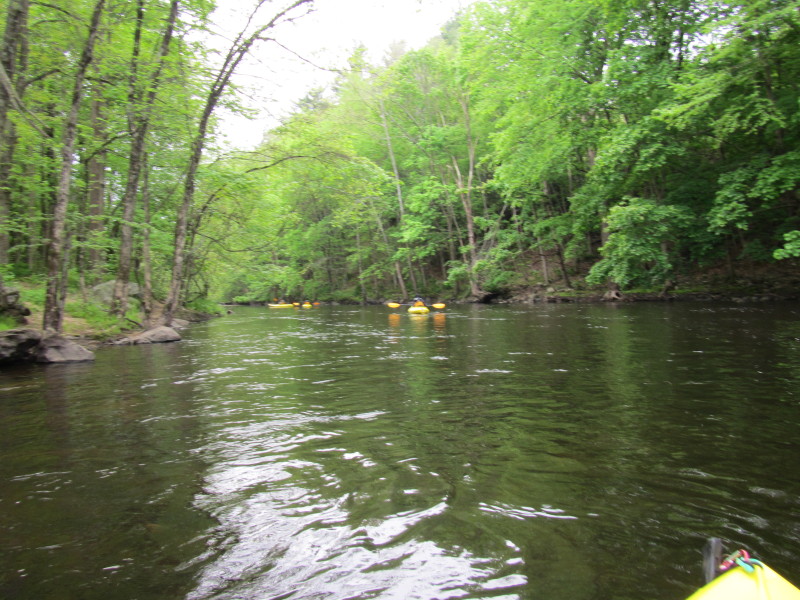
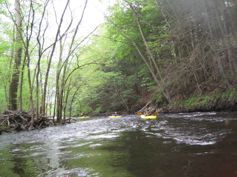
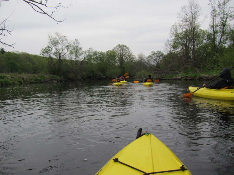
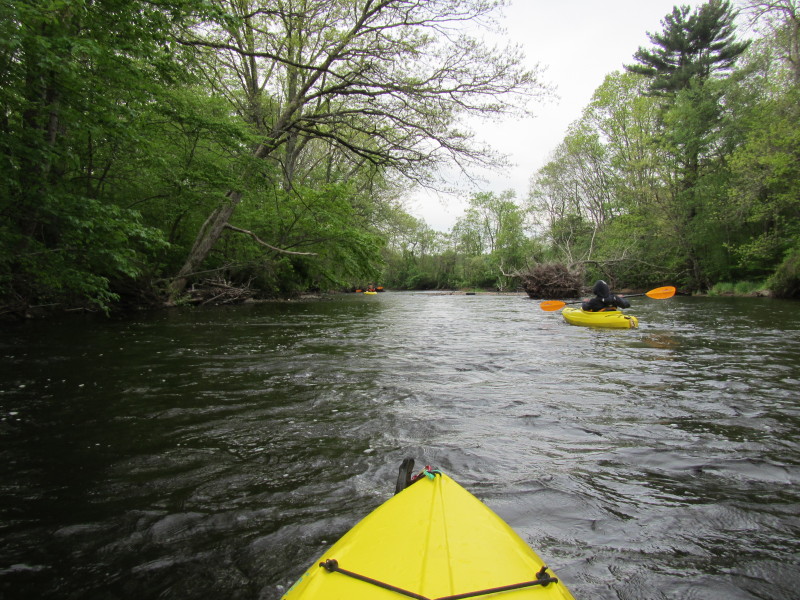
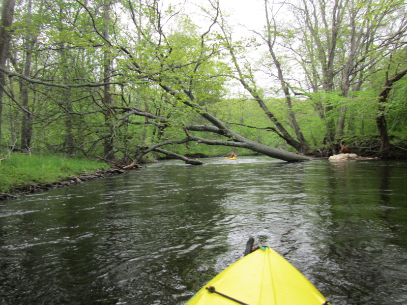
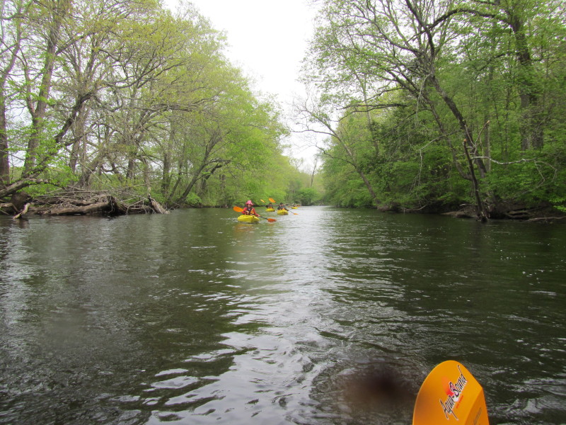
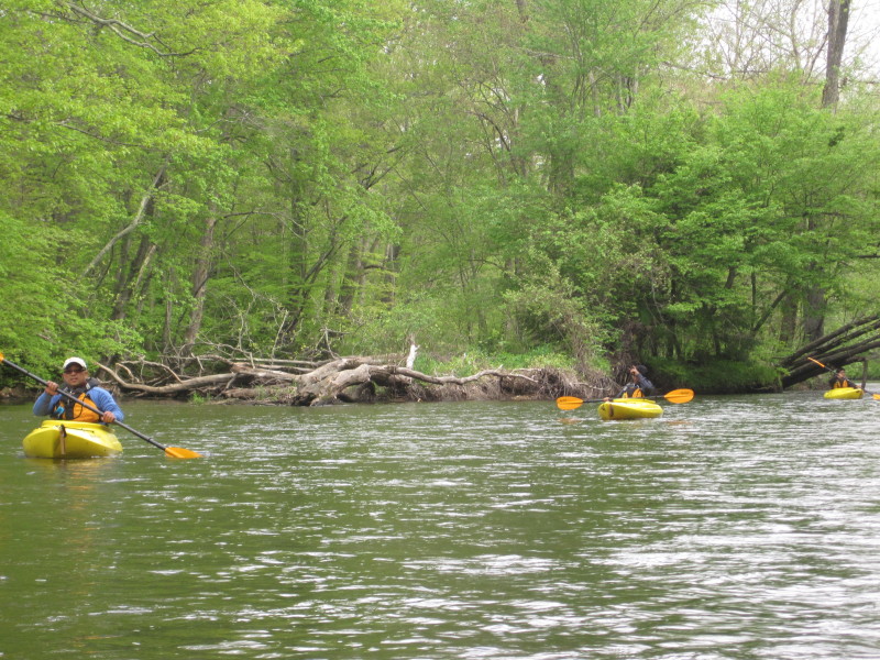
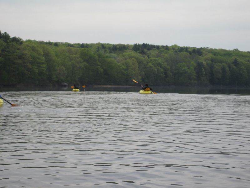
 Another set of riffles.
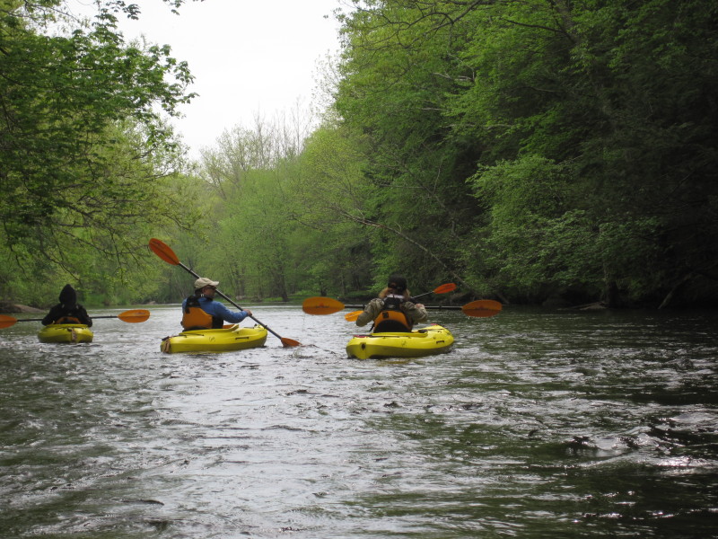
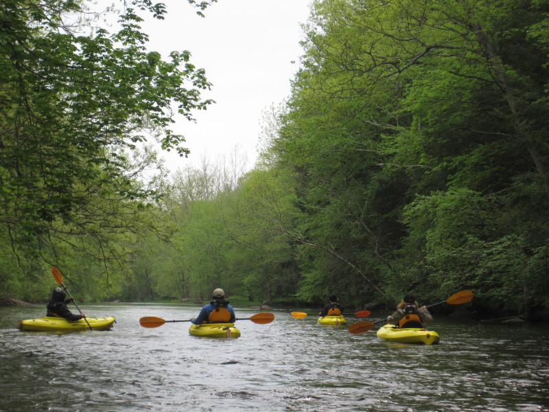
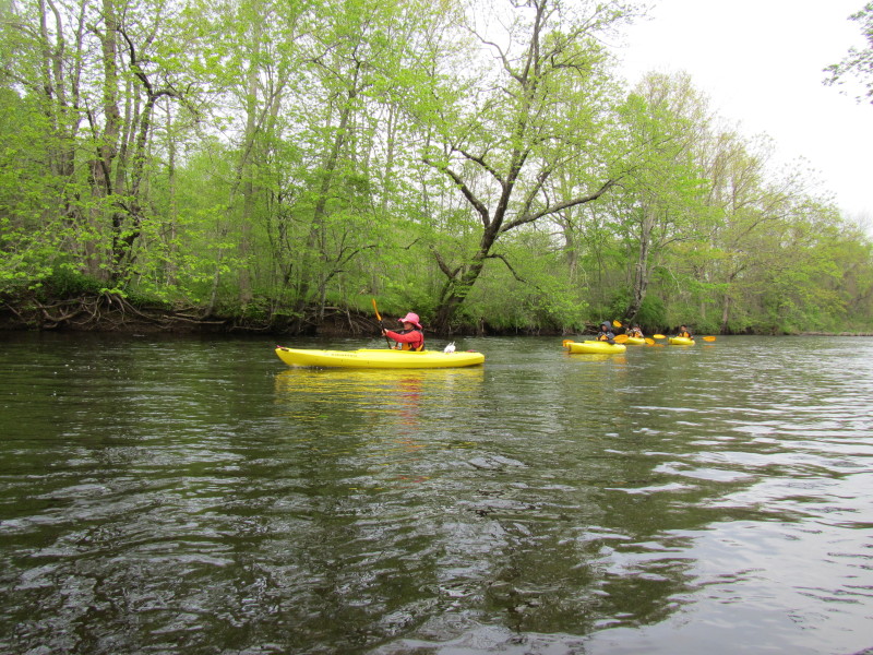

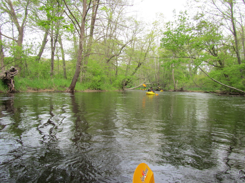

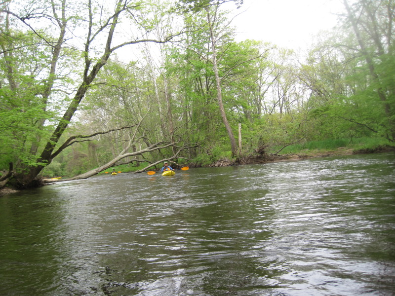
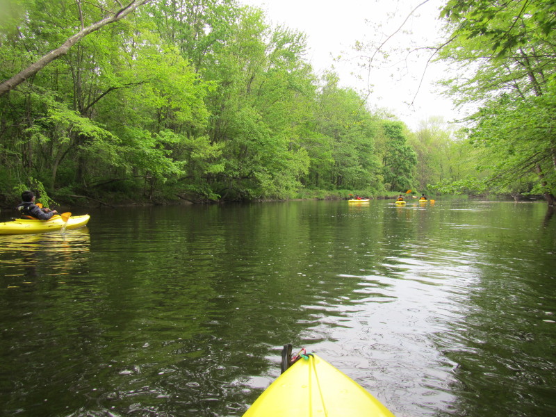
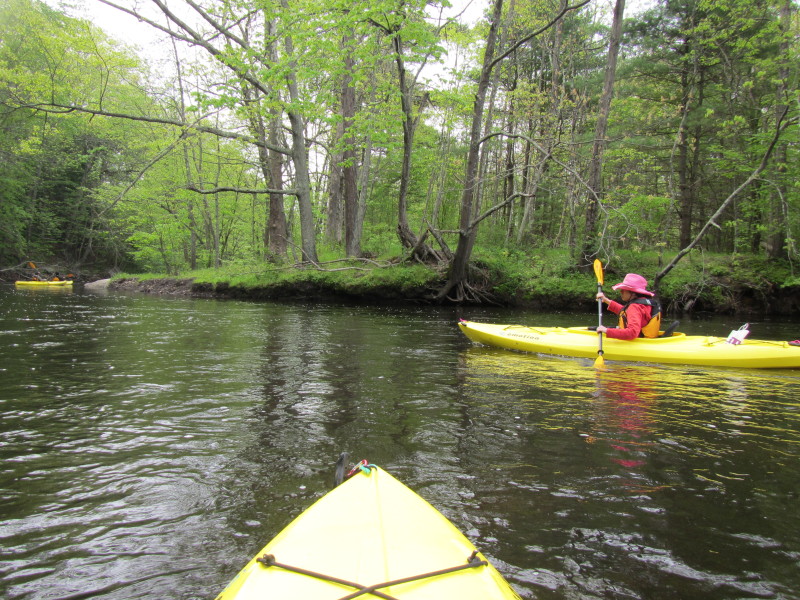
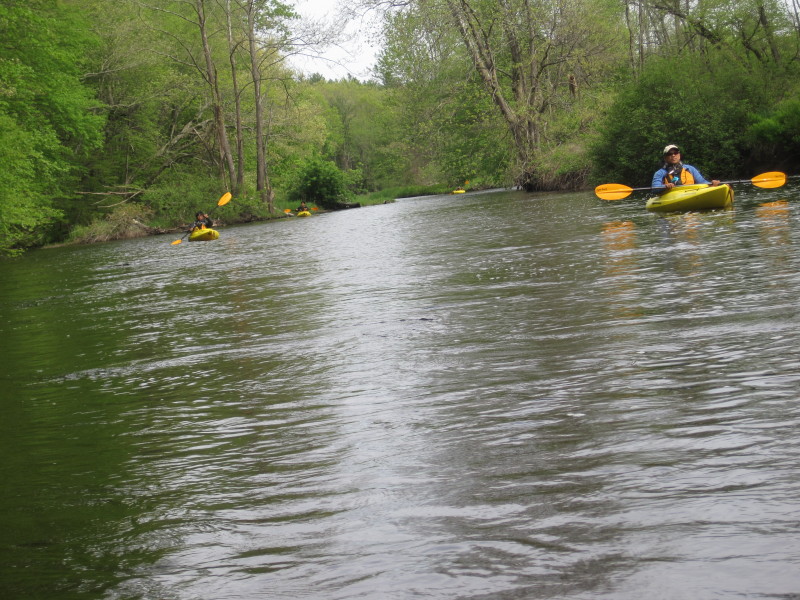
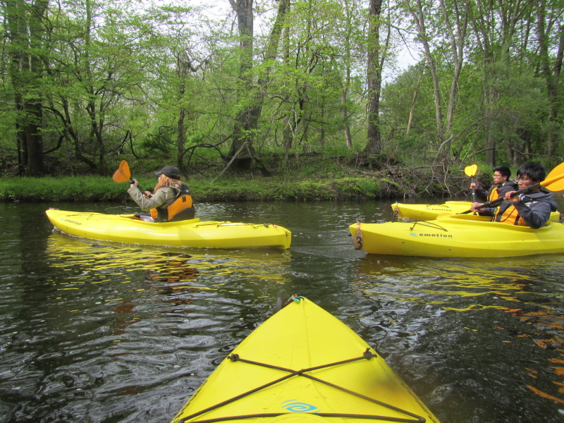
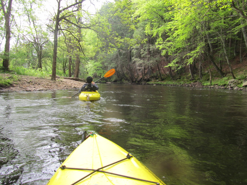
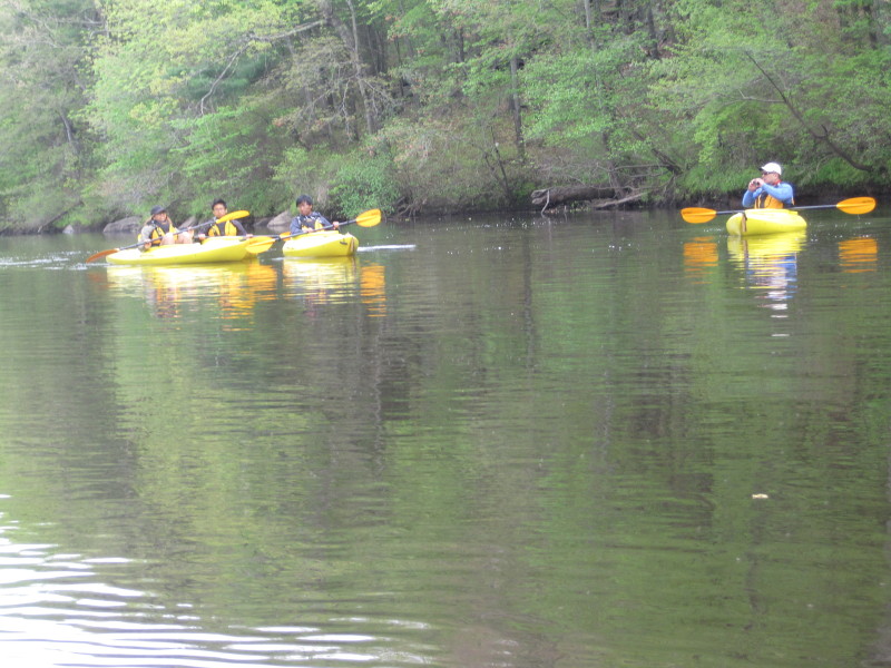
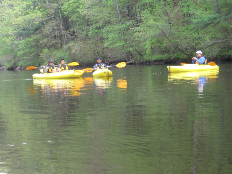
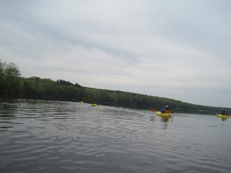
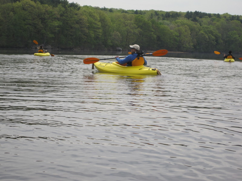
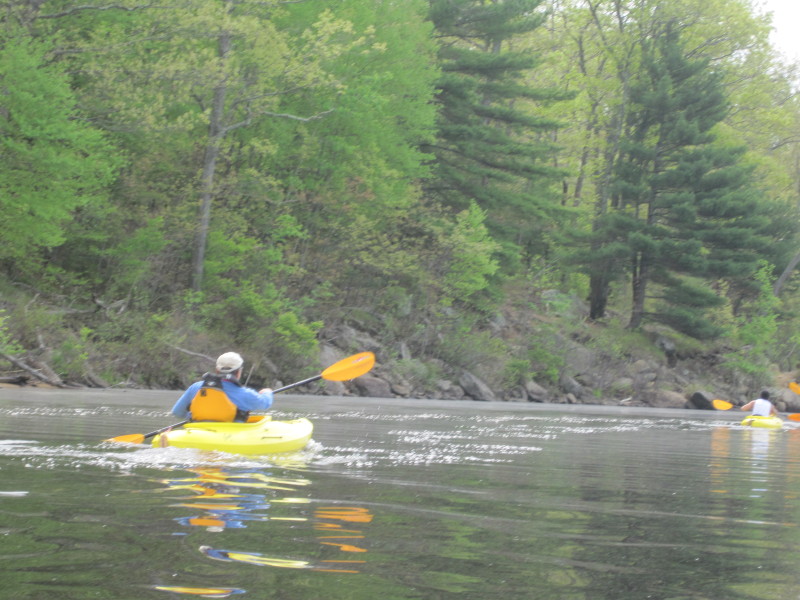
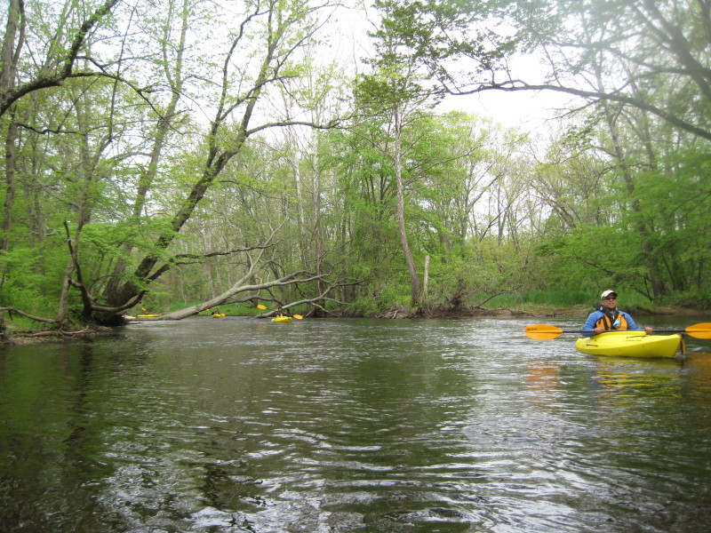 The Boston Kayaker on Quinebaug River in Grosvenoredale CT.
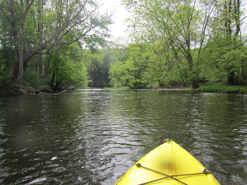
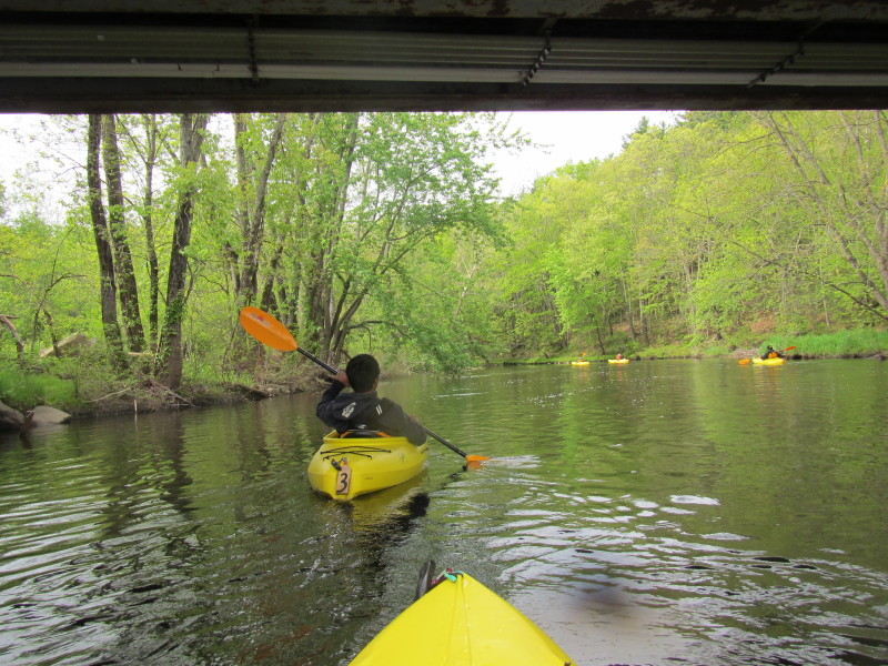
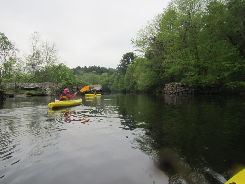
 The second bridge at Redbridge Road.
This should be a little over the half point of this route.
The second bridge at Redbridge Road.
This should be a little over the half point of this route.
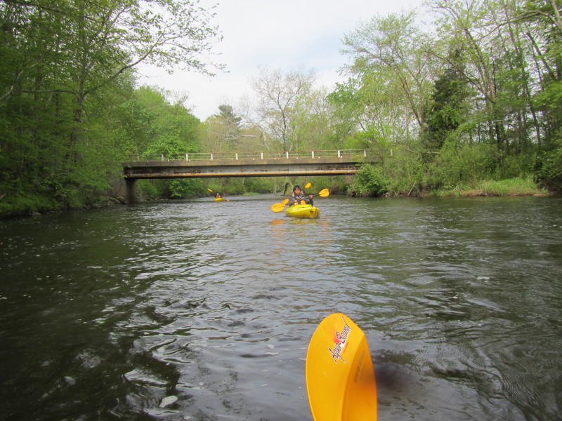
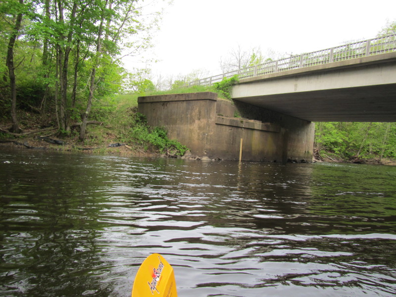
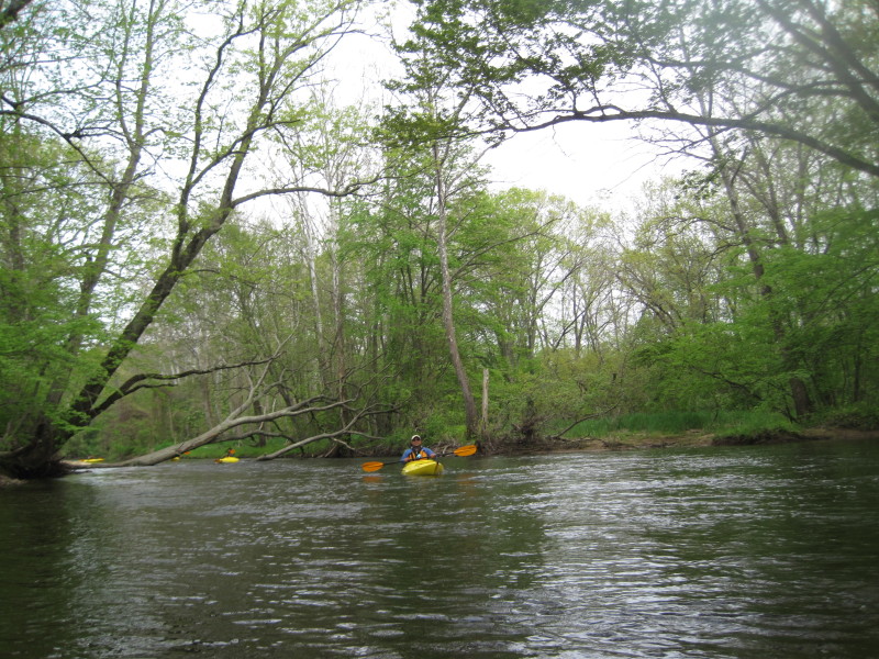
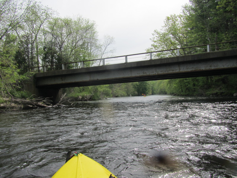
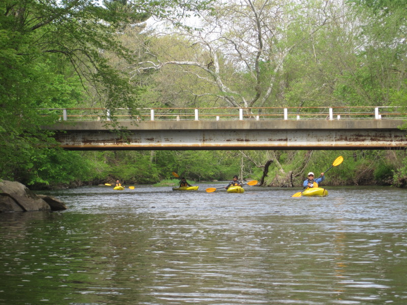
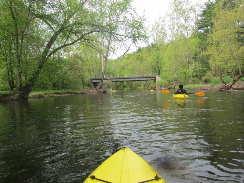 The first of two bridges. This one is the Brickyard Road bridge.
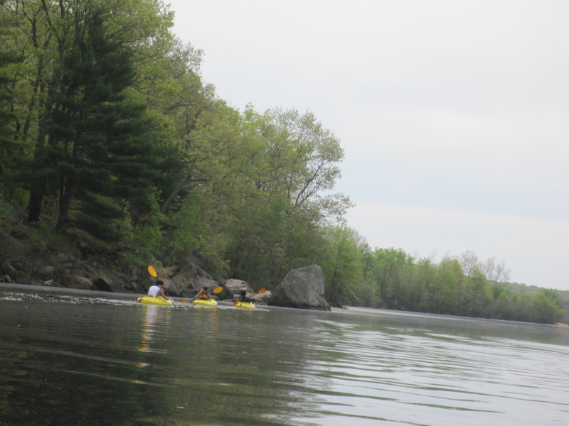
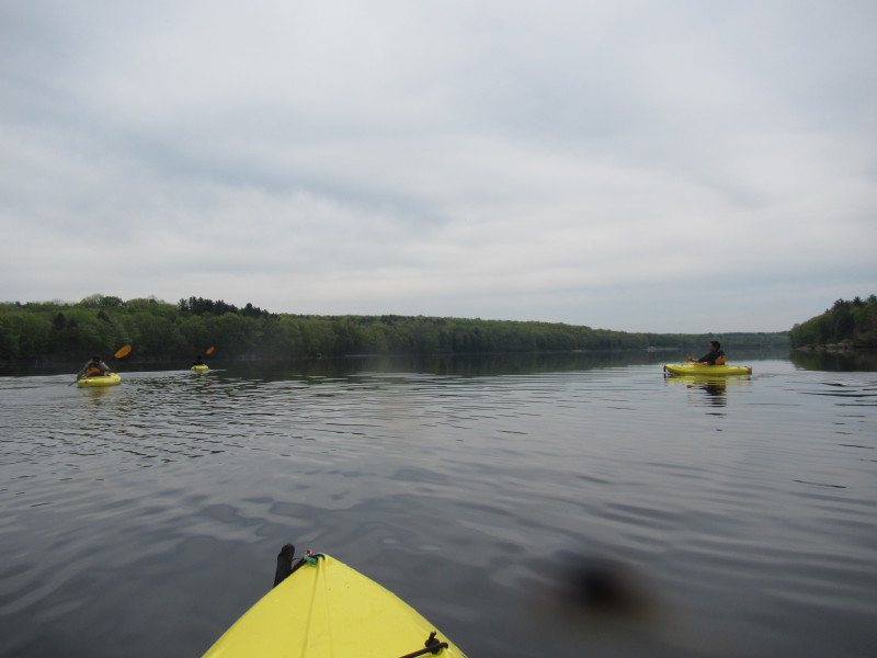 Now we are entering Lake Thompson.
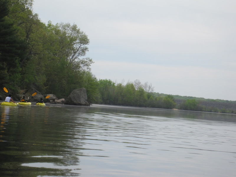
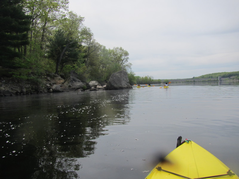 :Lake Thompson Dam is in the background.
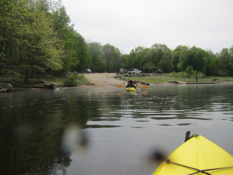
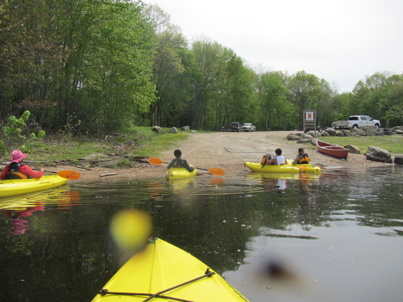
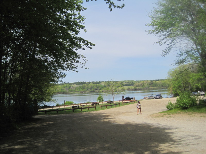
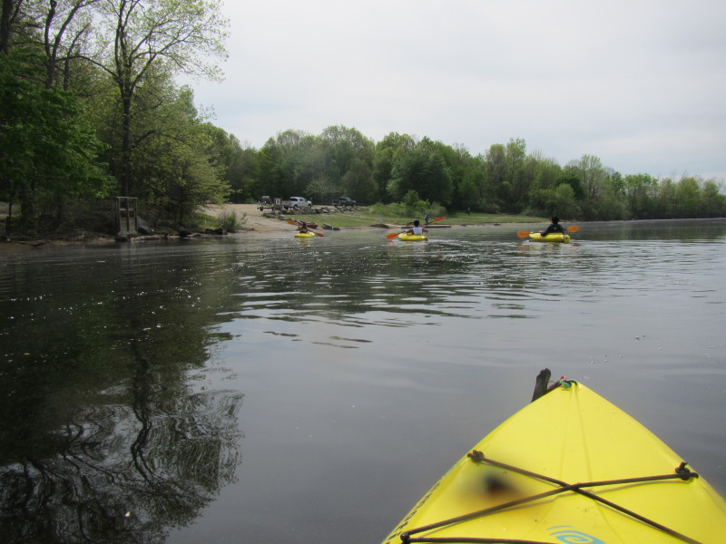 There is the Lake Thompson landing.

|