 Kayaker

|


|
Download printer-friendly
PDF version that fits in one page: |

|
|
Other resources:
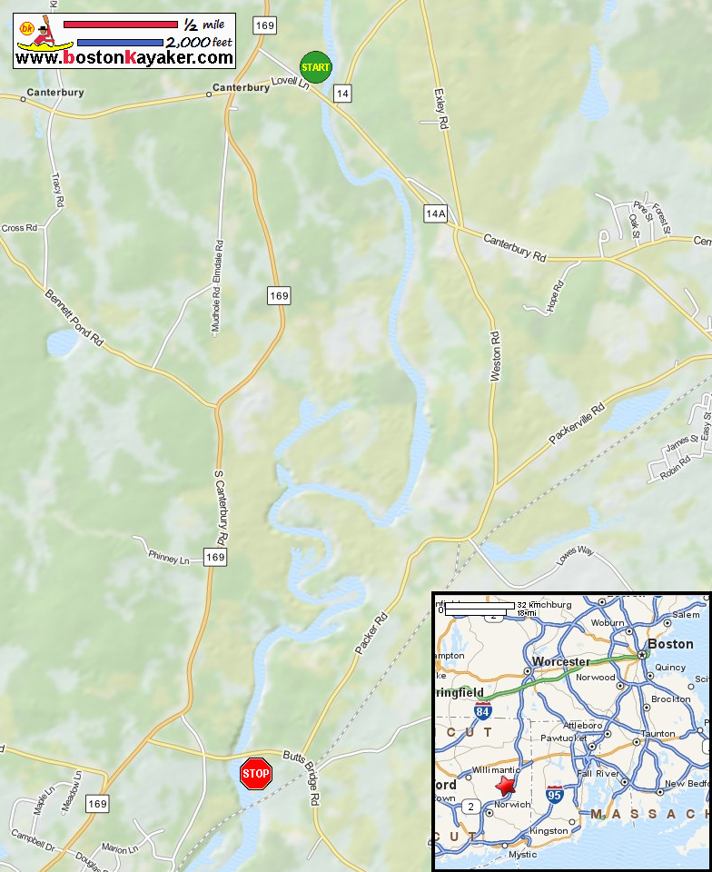
The Last Green Valley: The 2012 Quinebaug River Paddle Guide (see page 24) The Last Green Valley: The 2012 Quinebaug River Paddle Guide (cached copy) All photos in this website are original and copyrighted. 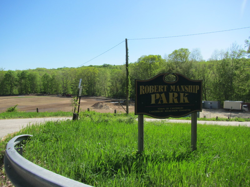 At Robert Manship Park on Route 14 in Canterbury CT.
Trip date is July 2019.
At Robert Manship Park on Route 14 in Canterbury CT.
Trip date is July 2019.
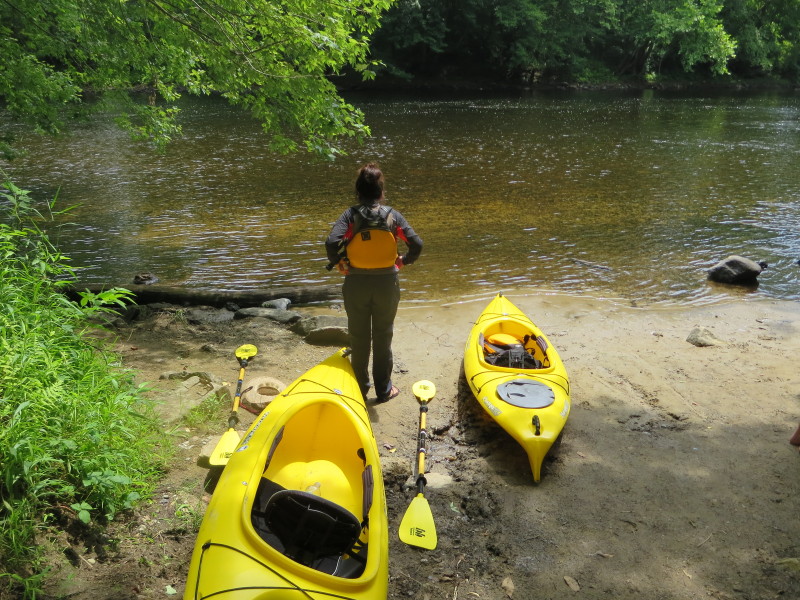
 Beside the baseball field at the Manship Park is the put in to the Quinebaug River.
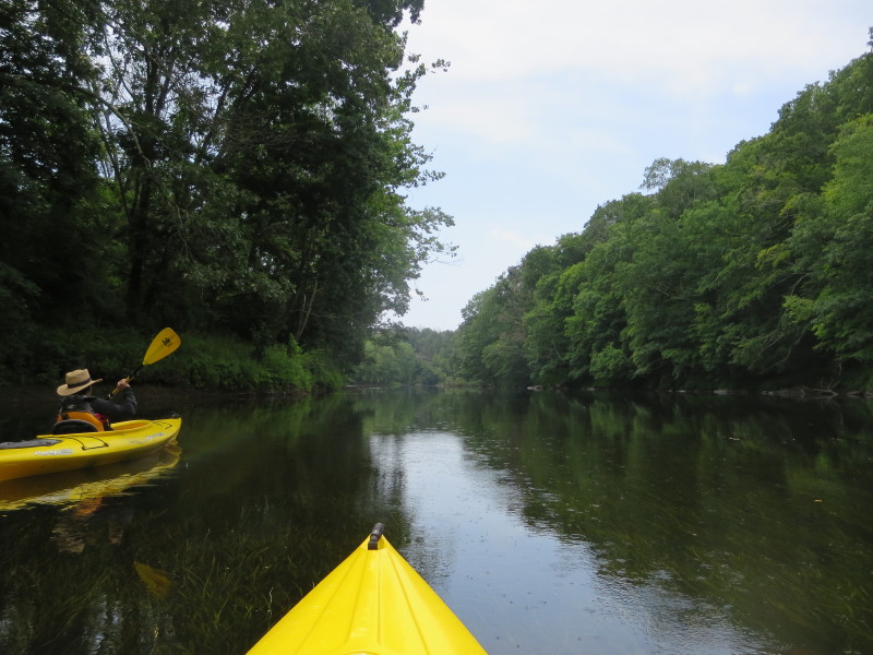
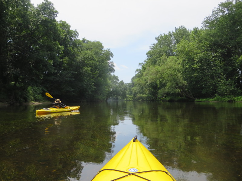
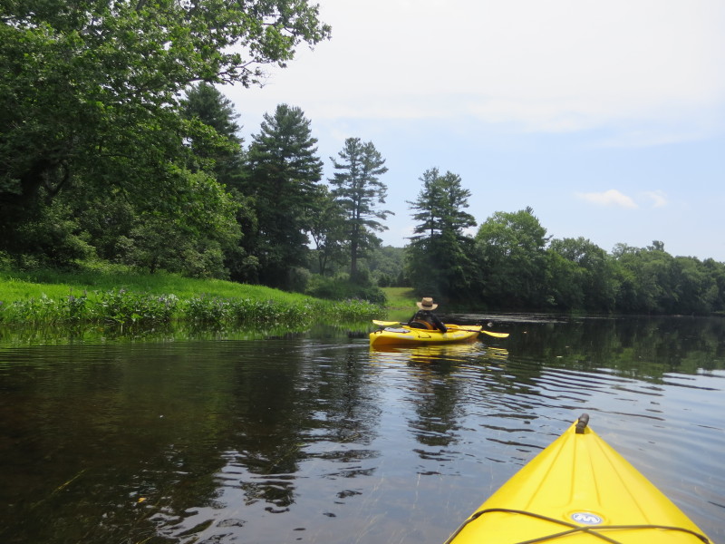
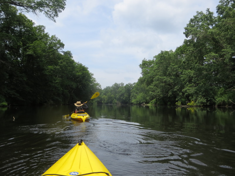
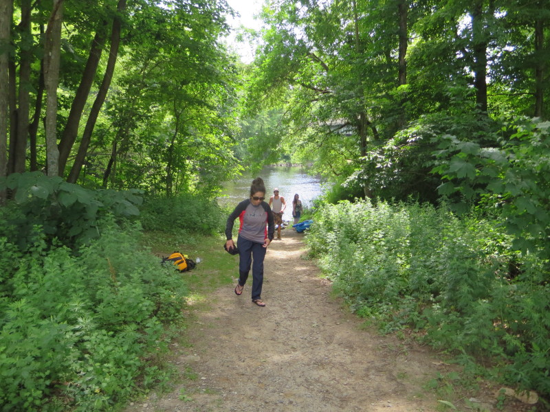 Today's kayak buddy, the Boston Kayaker's wife.
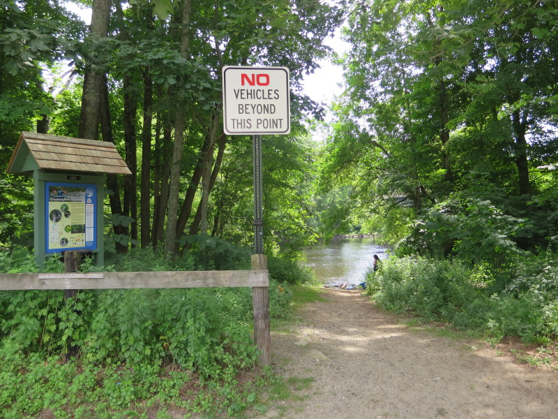
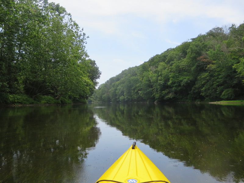
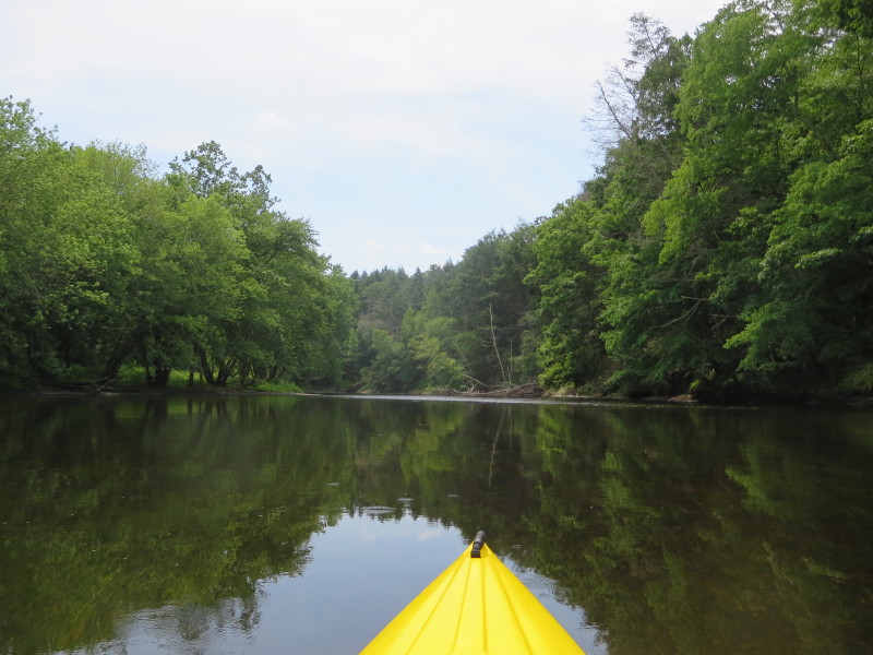
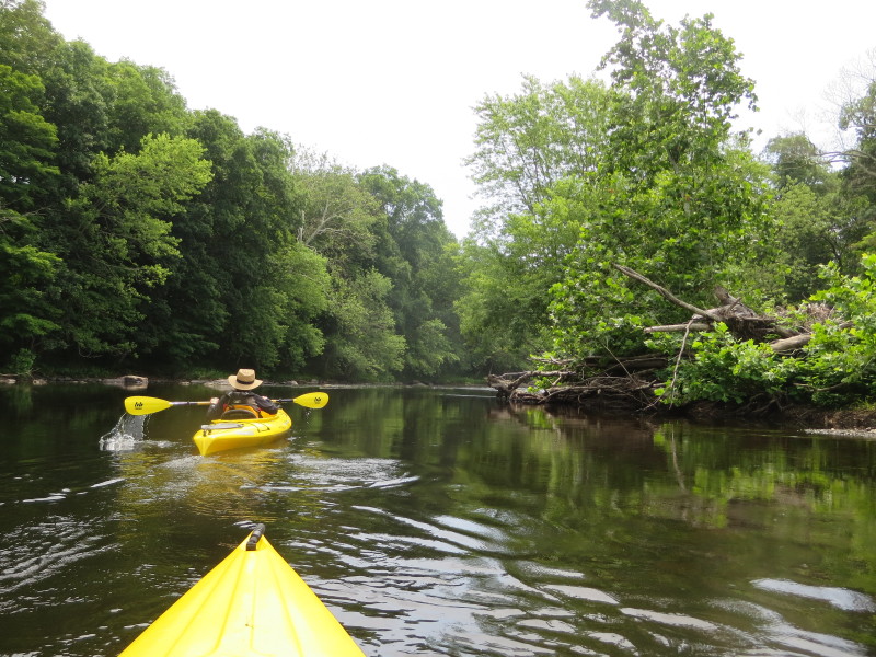
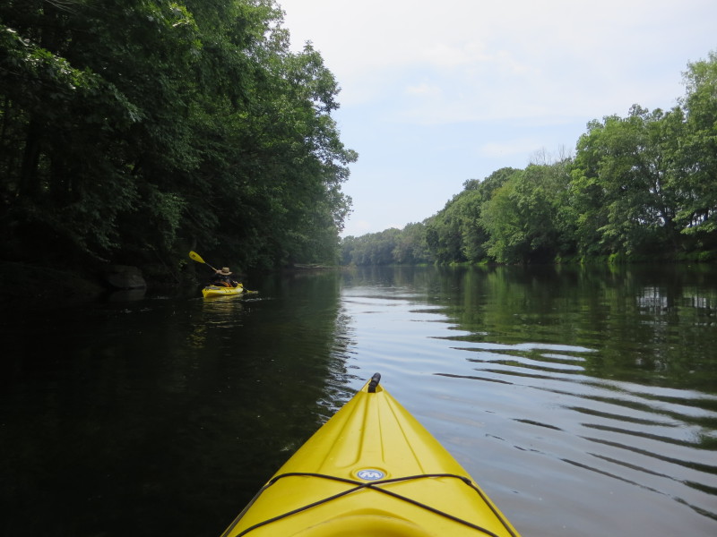
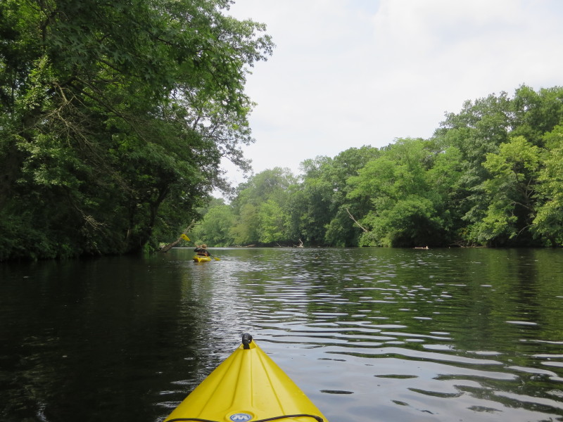
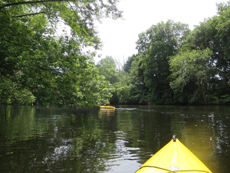
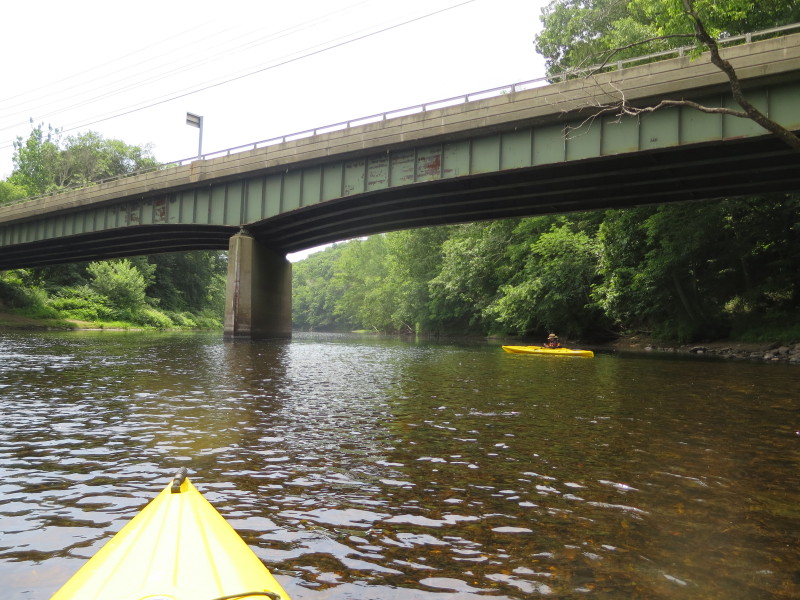 Just launched on the Quinebaug and paddled left downstream under the Route 14 Bridge.
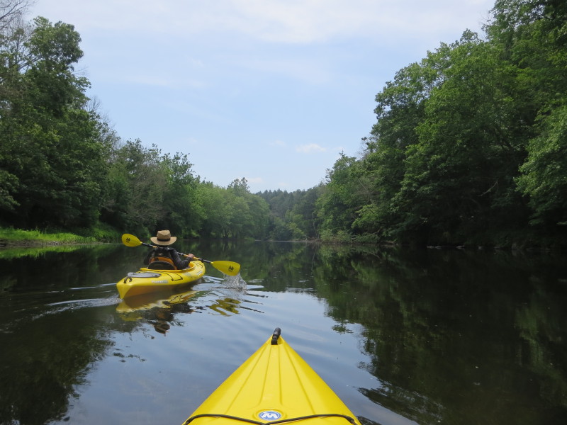
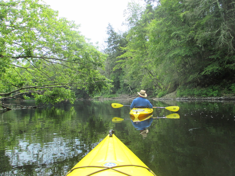
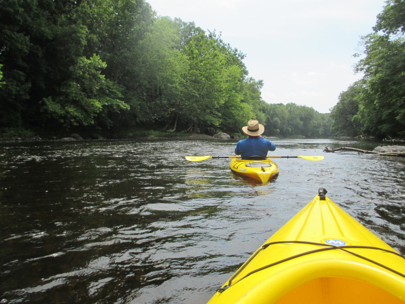
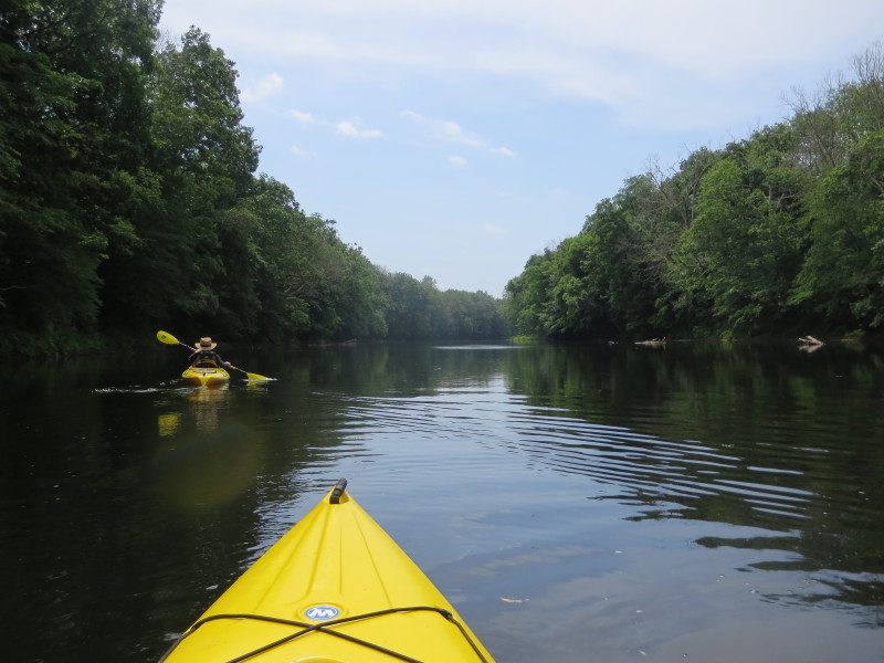
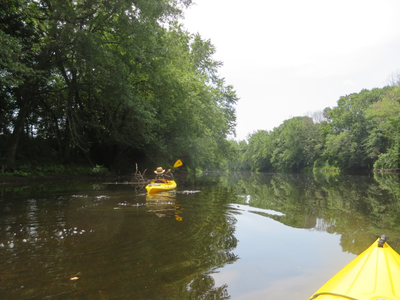
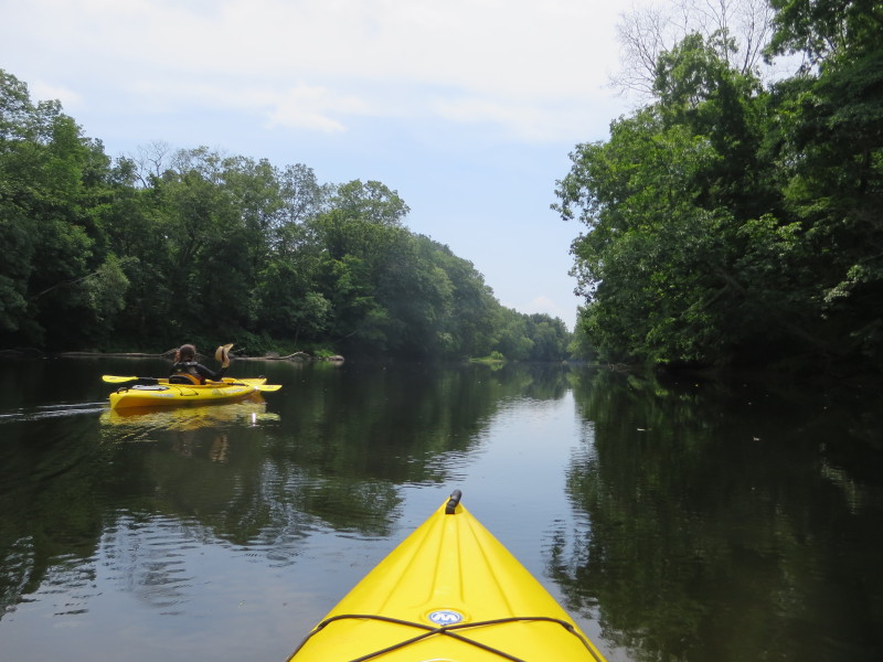
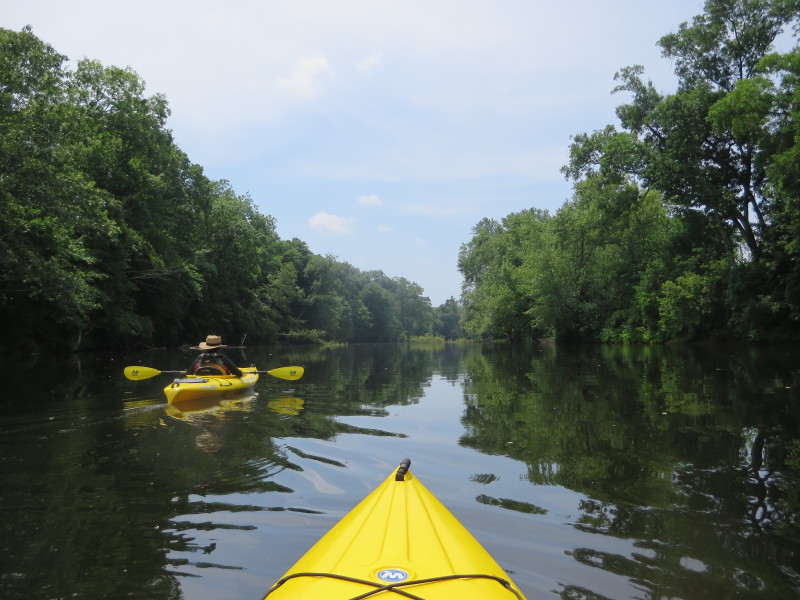
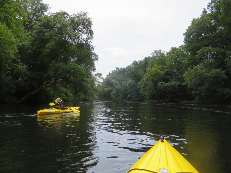
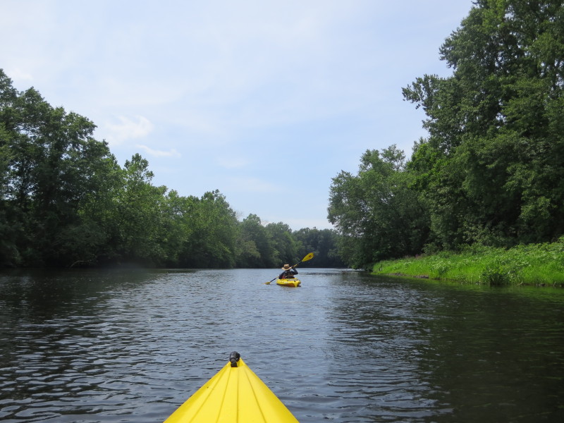
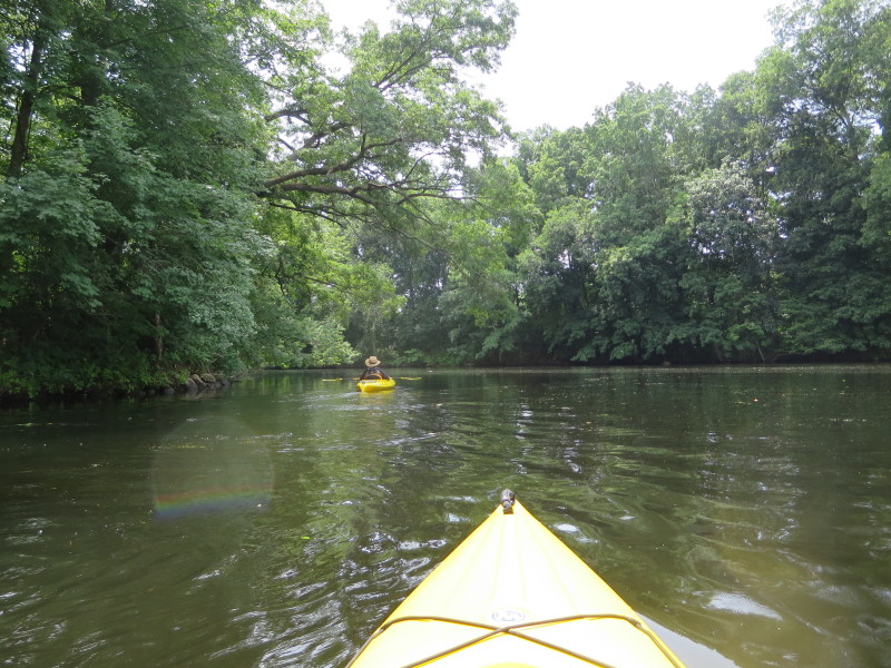
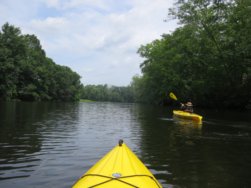
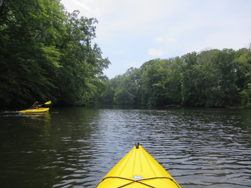
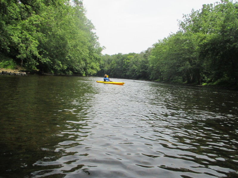 The Boston Kayaker on the Quinebaug River.
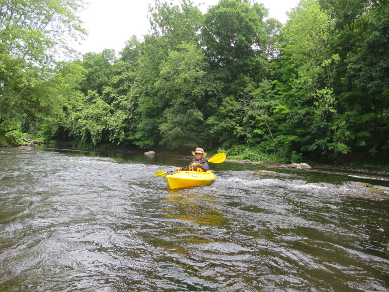
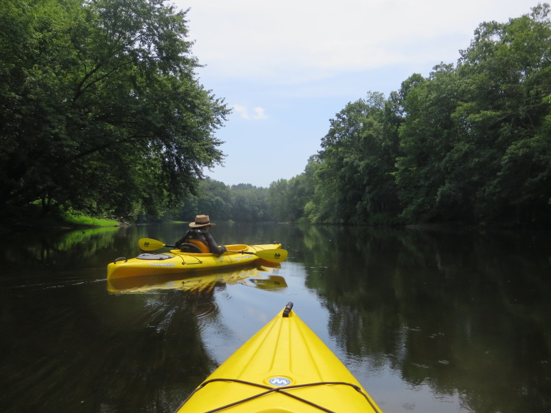
 Today's temperature is on the high side about 90F+.
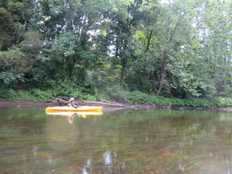
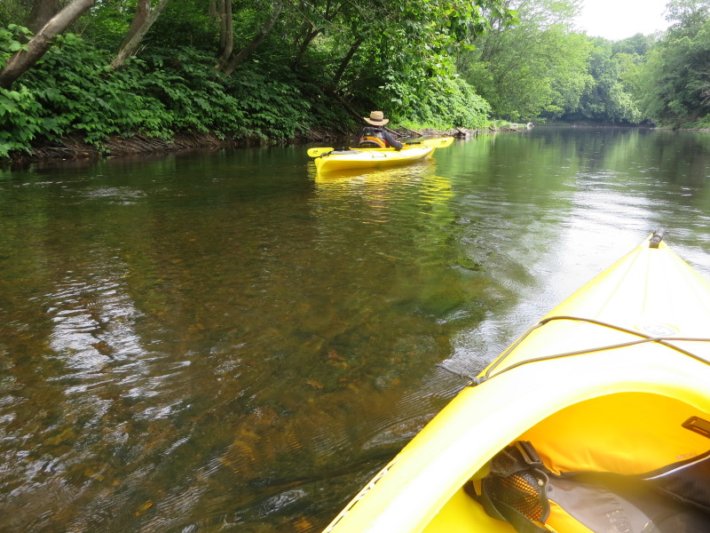
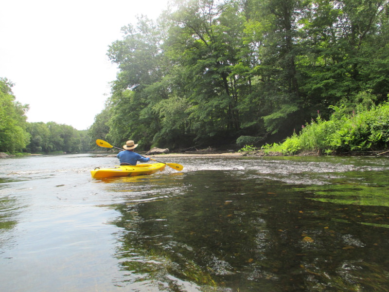
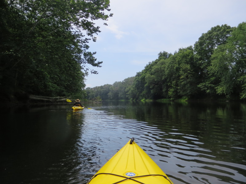
 Water level here is just about knee deep.
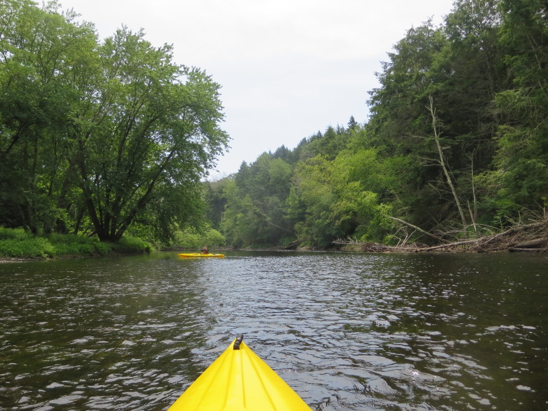
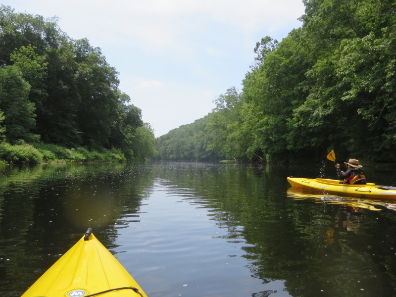
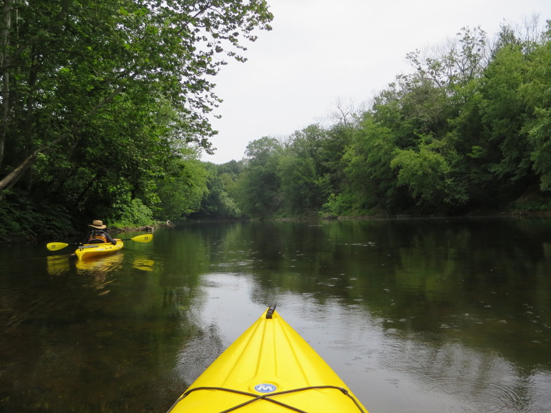
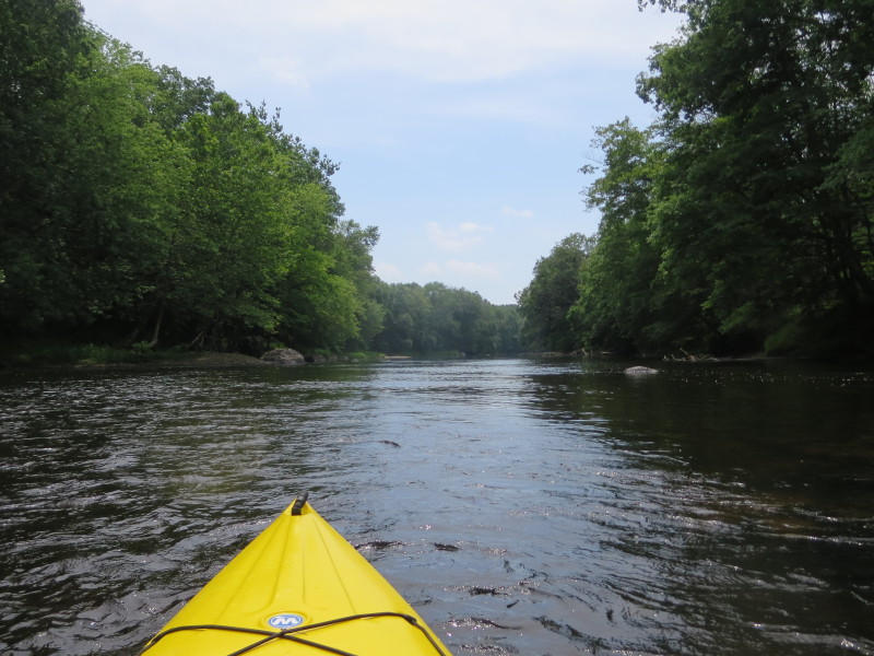
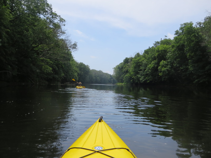
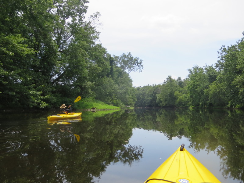
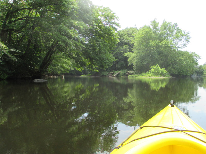
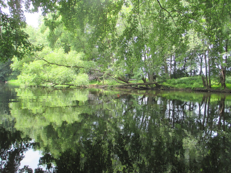
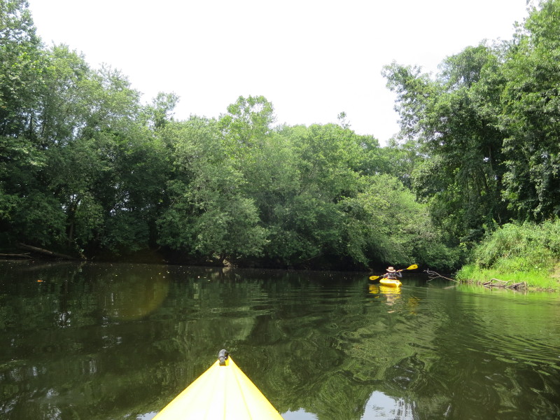
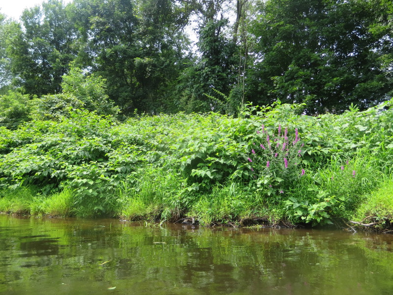
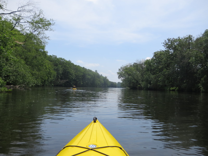
 River bending to the left.
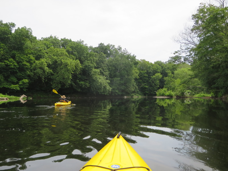
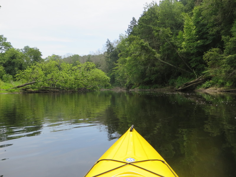
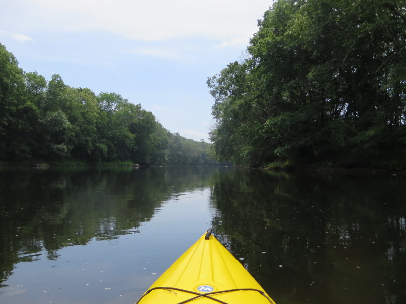
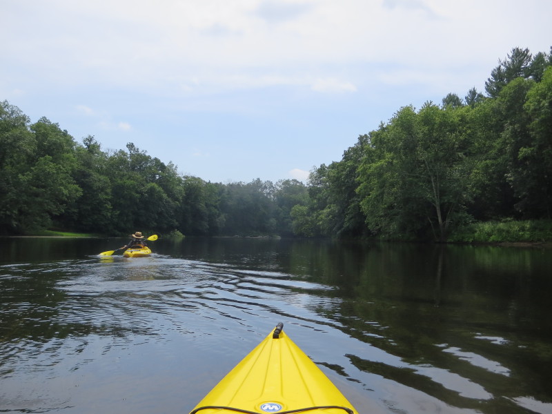
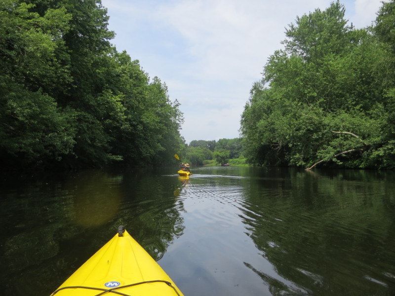
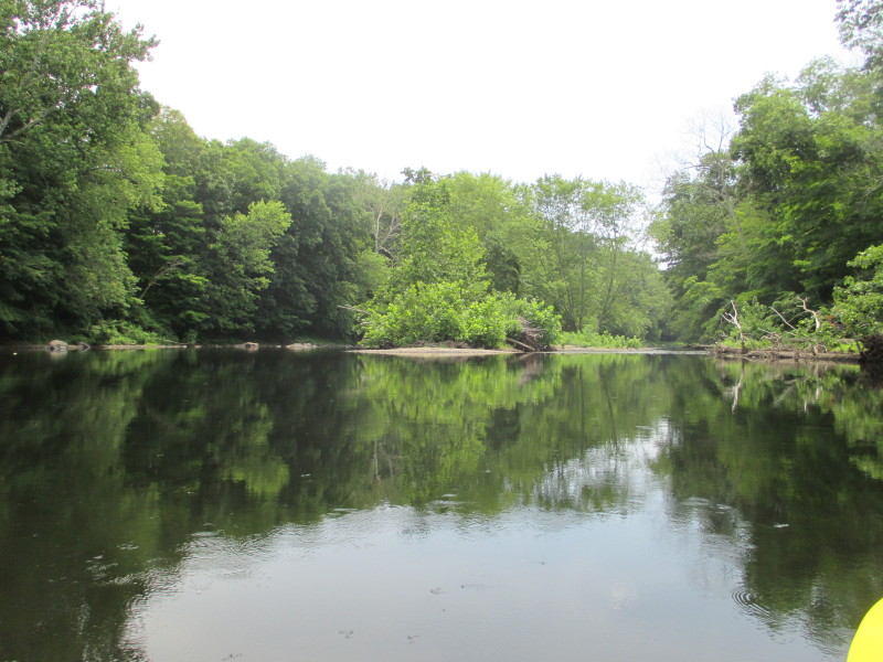 An island in the middle of the Quinebaug River.
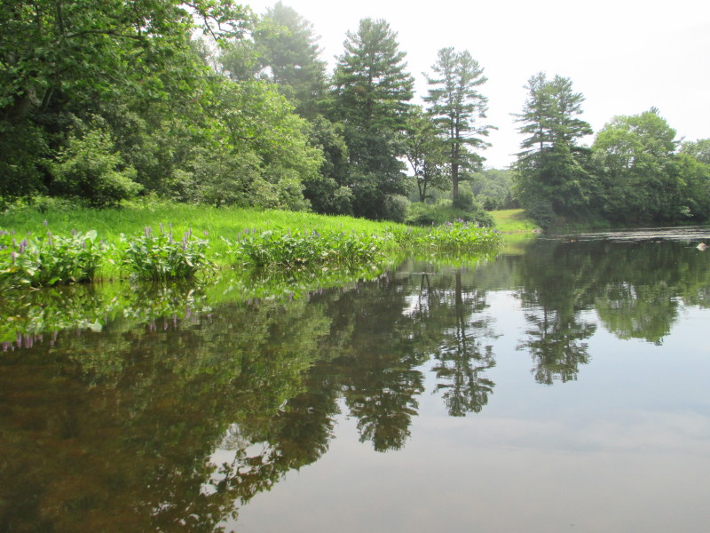
 A shallow spot.
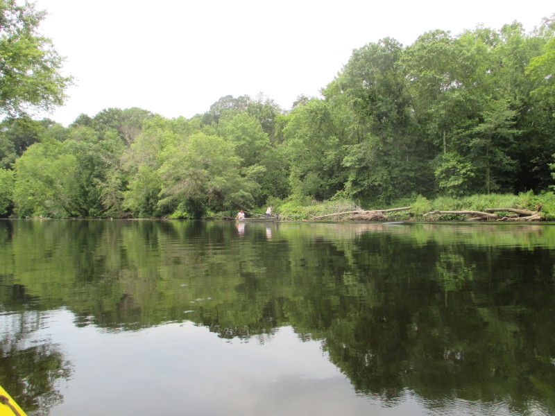
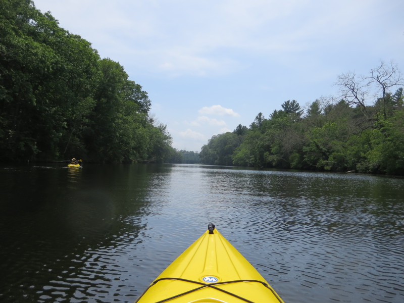
 Another island in the middle of Quinebaug.
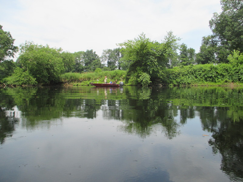
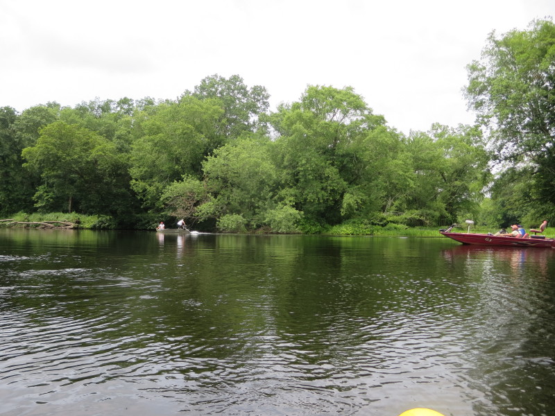
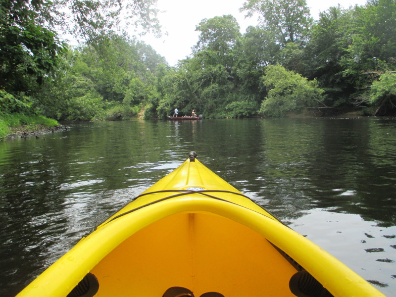
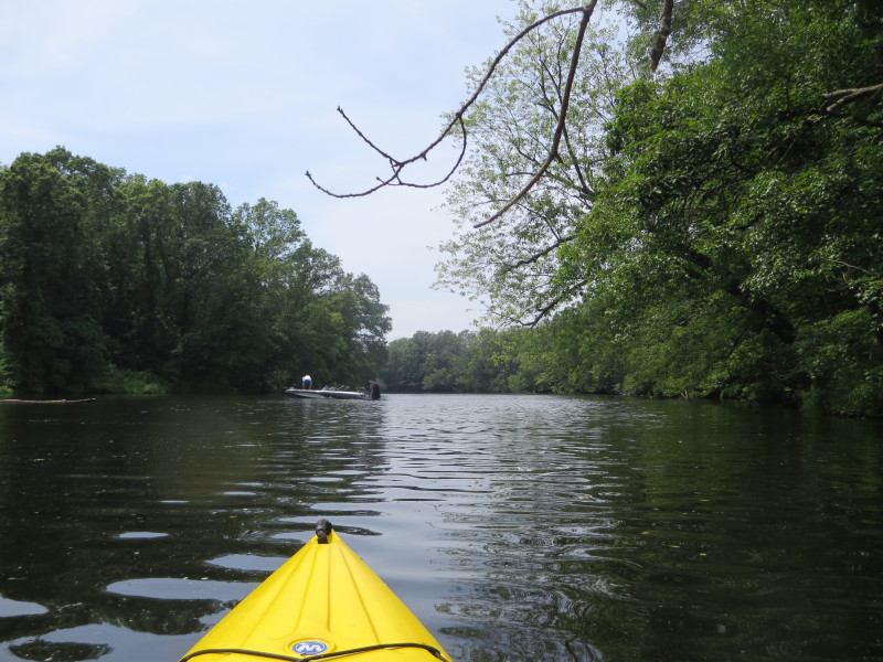
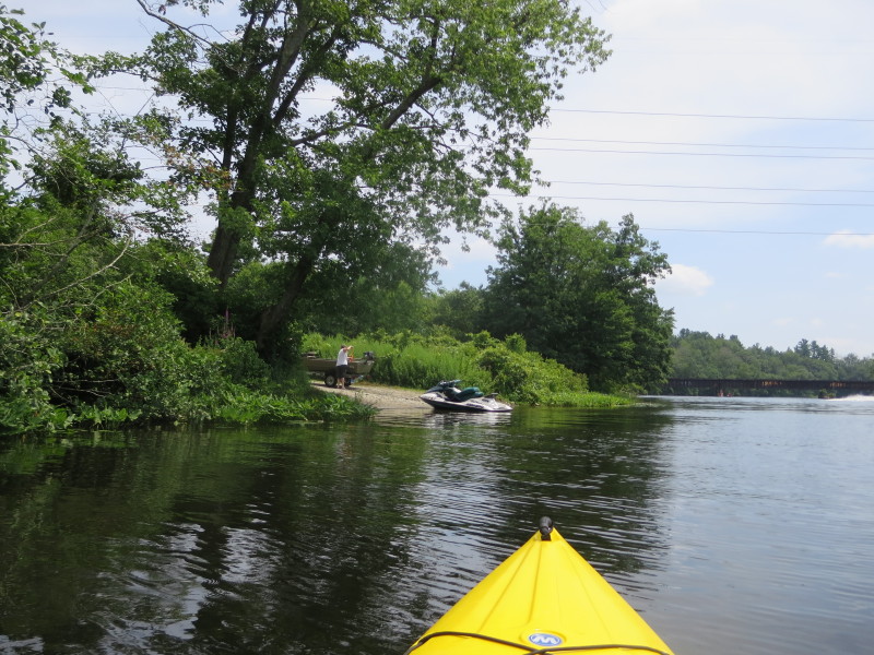
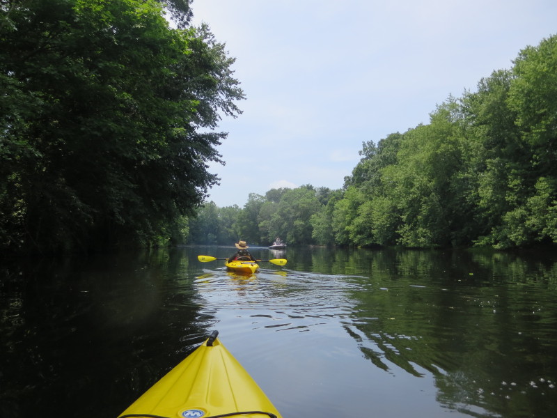 A motor boat on the Quinebaug.
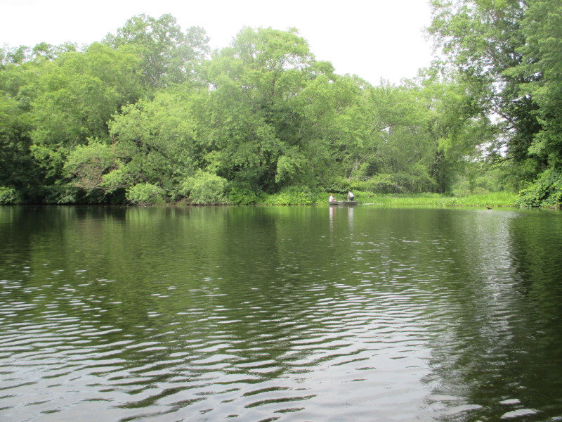
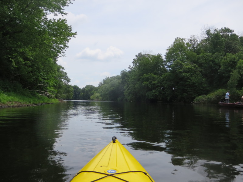
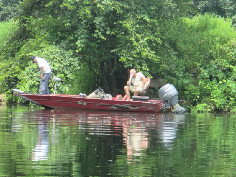 Two men fishing from their boat on the Quinebaug River.
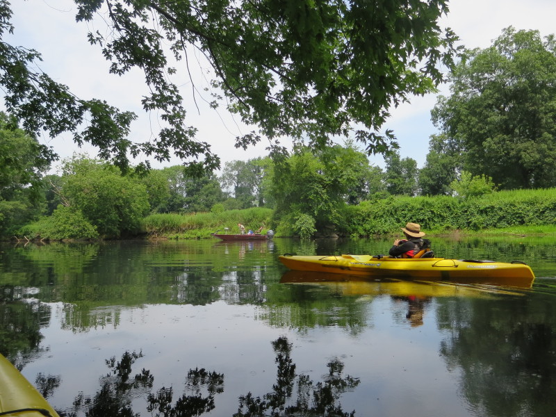
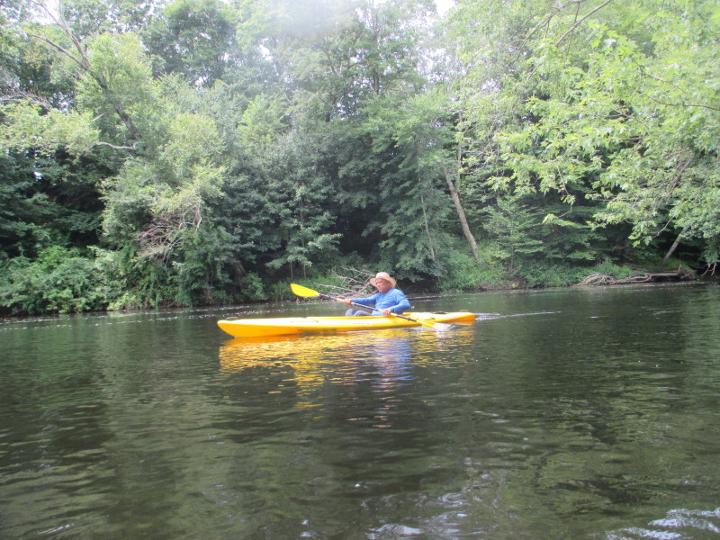
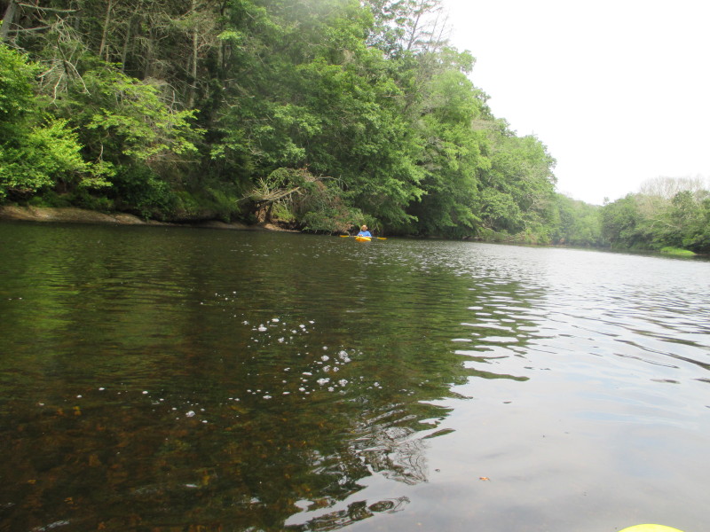
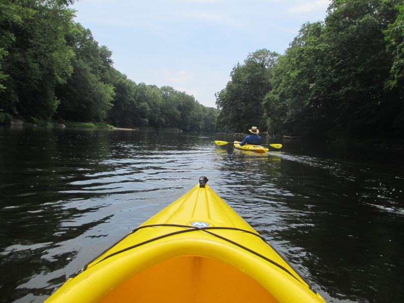
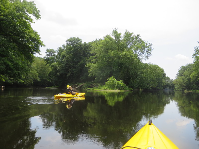
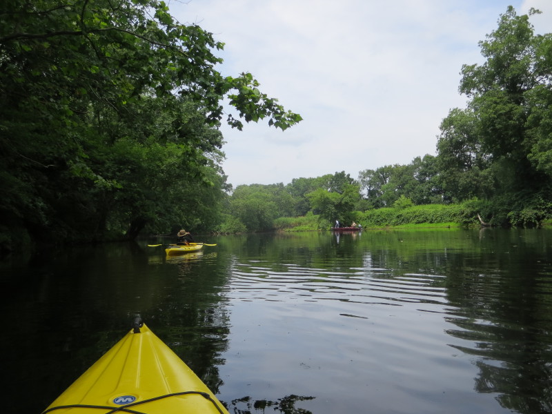
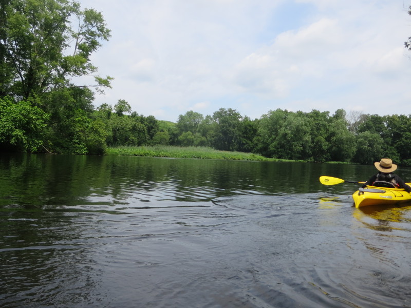
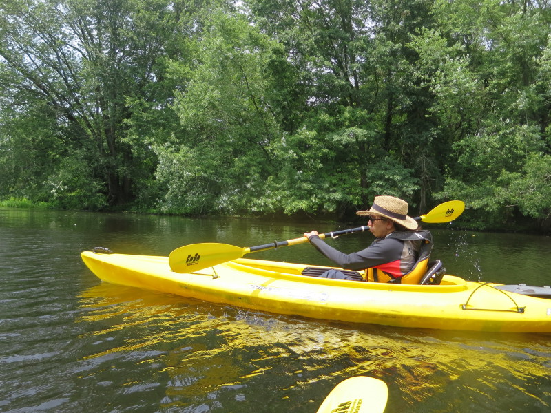 The Boston Kayaker's wife on the Quinebaug River.
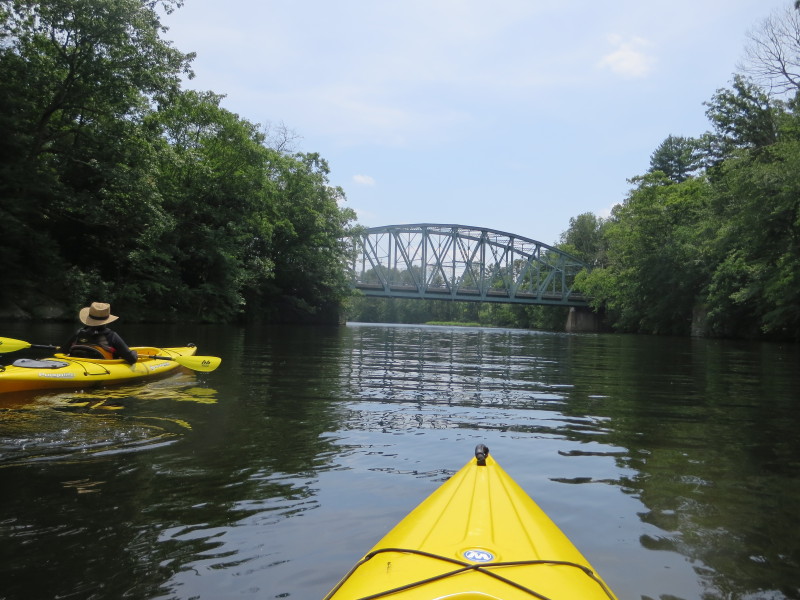
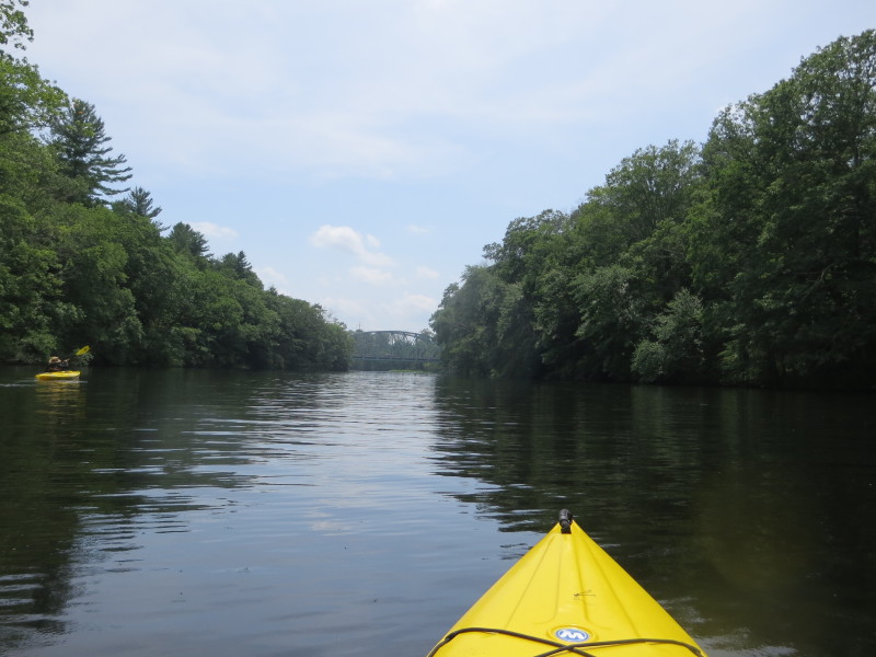 We can now see the Butts Bridge.
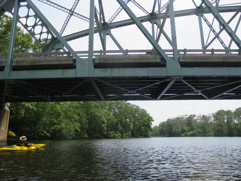
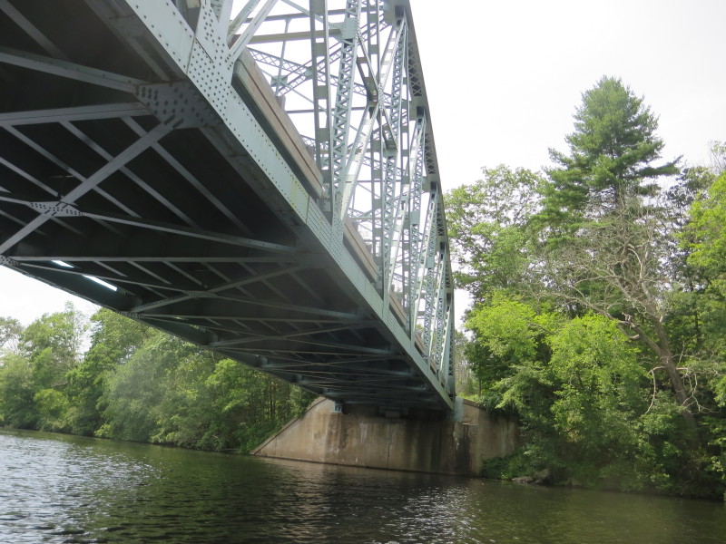 Paddling under the Butts Bridge on the Quinebaug River.
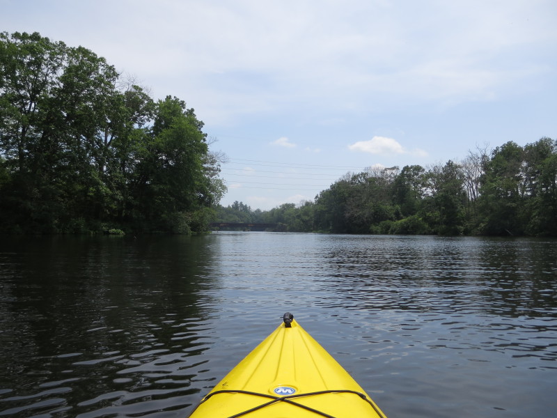
 The take out on left just after the Butts Bridge.
Paddle time is 1 hour and 42 minutes. 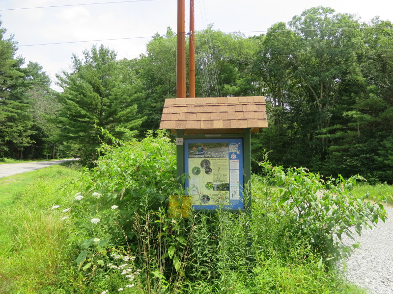 The marker on Butts Bridge Road marking the dirt road to the river access.
|