 Kayaker

|


|
Download printer-friendly
PDF version that fits in one page: |

|
|
Other resources:
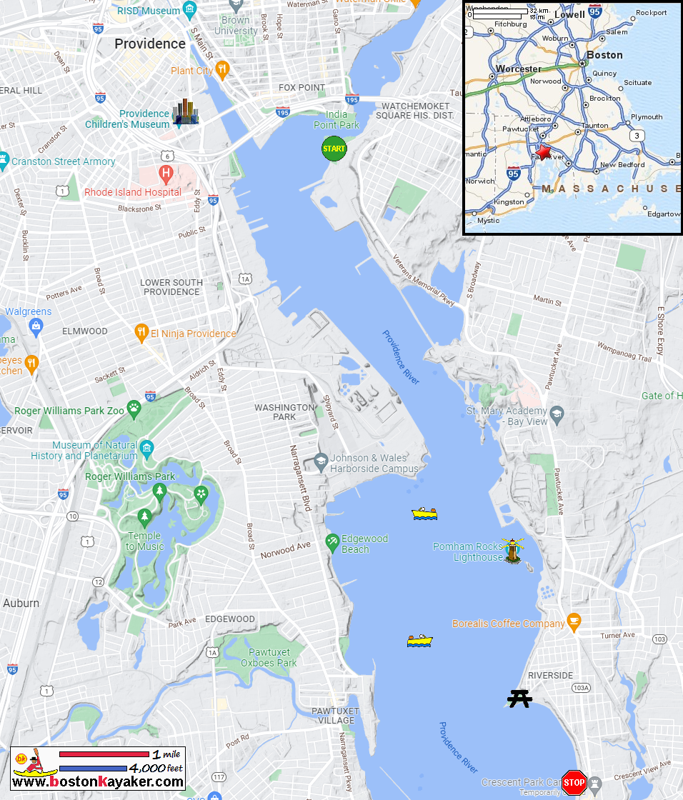
Explore RI's Blueways and Greenways: Bold Point Park Rhode Island Harbors: Providence Harbor Tide Chart All photos in this website are original and copyrighted. 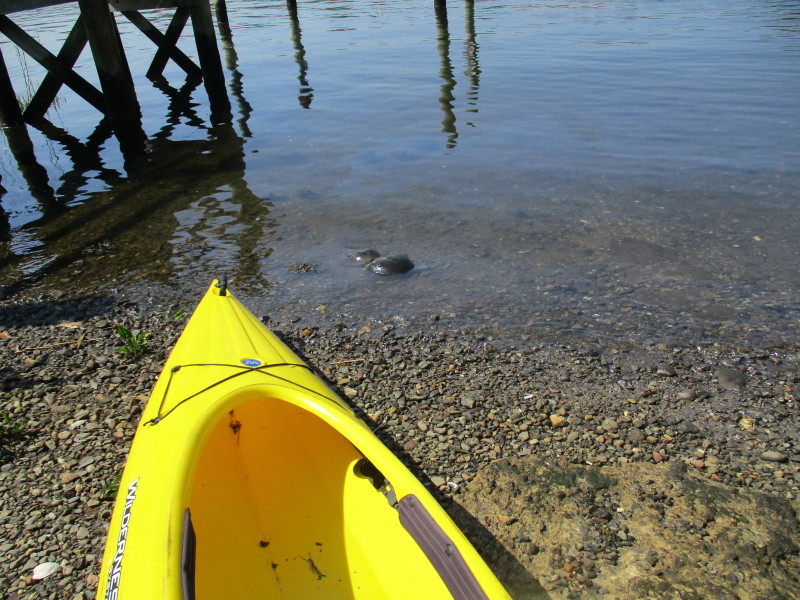 At Bold Point Park in East Providence RI.
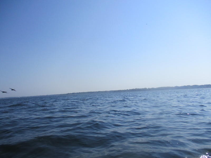
Trip date is May 2022. 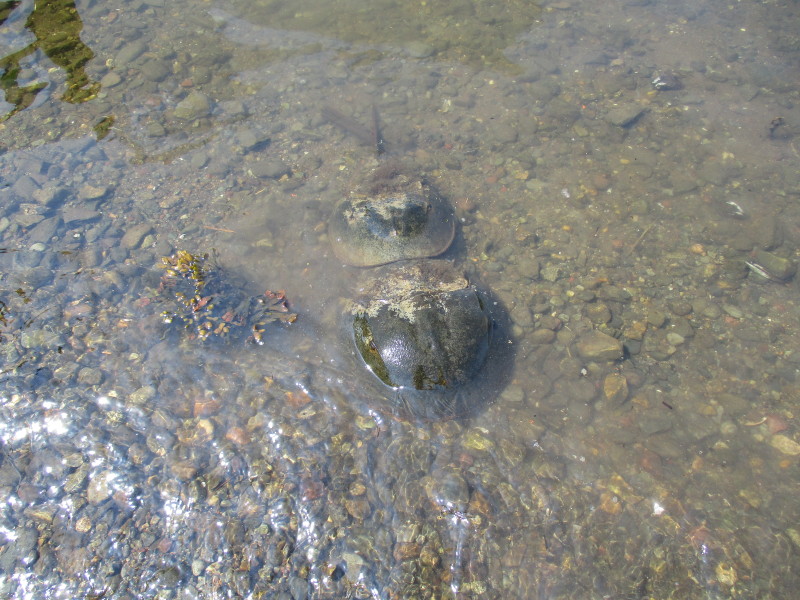 A pair of horse-shoe crabs.
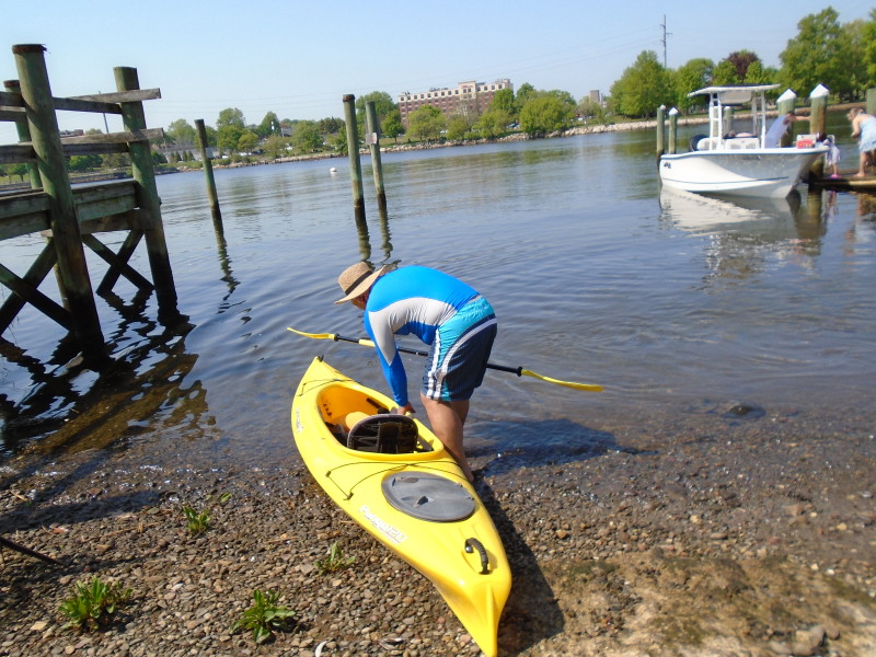 The Boston Kayaker launching on Providence River from Bold Point Park.
Horshoe-crabs on right.
The Boston Kayaker launching on Providence River from Bold Point Park.
Horshoe-crabs on right.
 Veering to the left after launch . . .
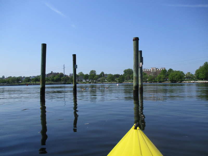
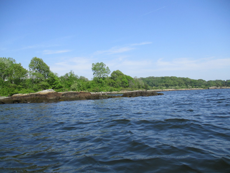
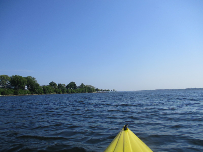
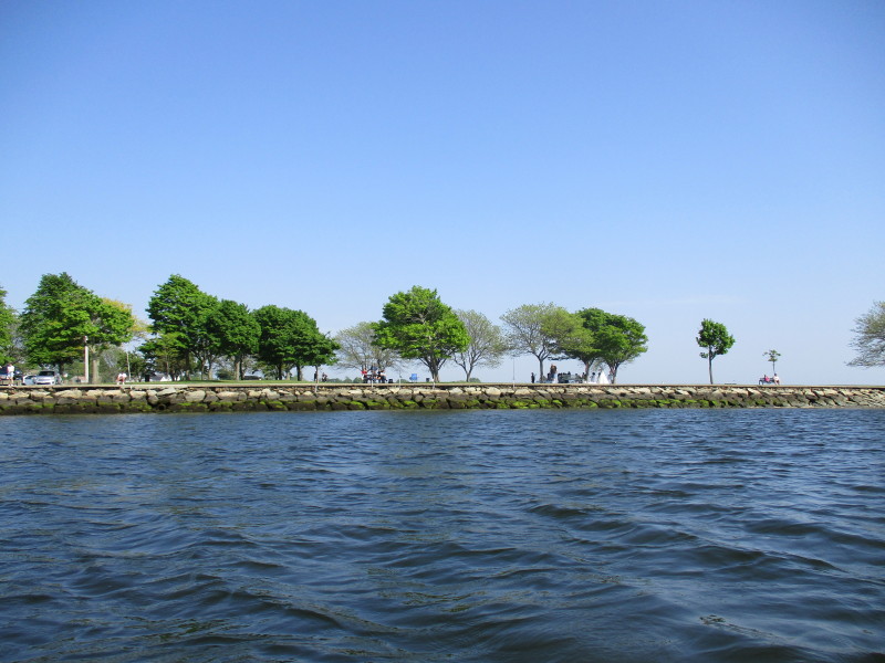
 Paddling around Bold Point Park to go south on Providence River.
 Currently facing west, that arch is the I-195 bridge over the Providence River.
 In the background, buildings in downtown Providence.
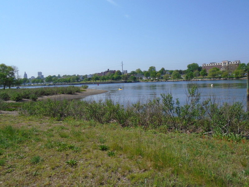
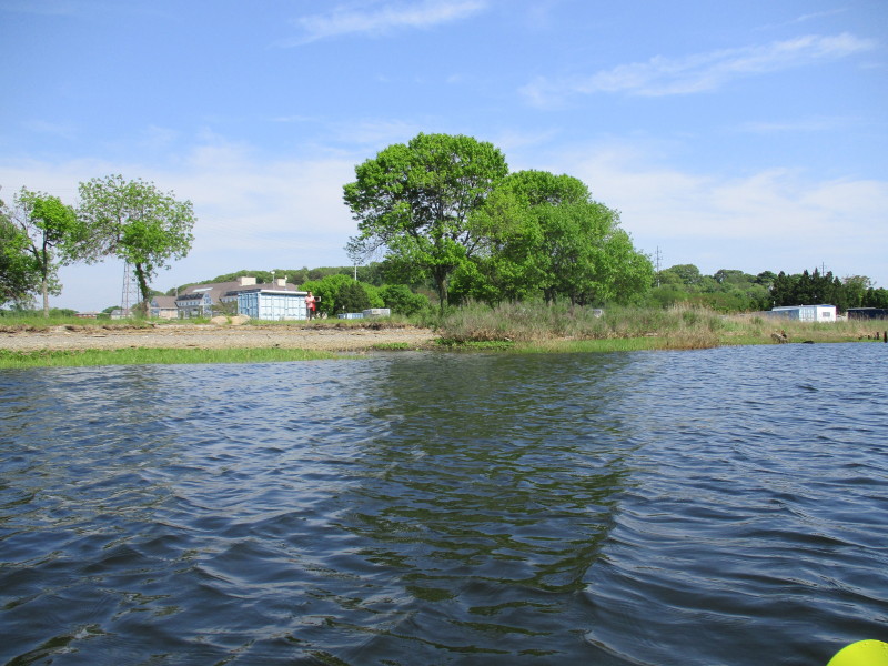 The Boston Kayaker's wife at Bold Point Park.
We will meet 2 hours later at Larisa Park. 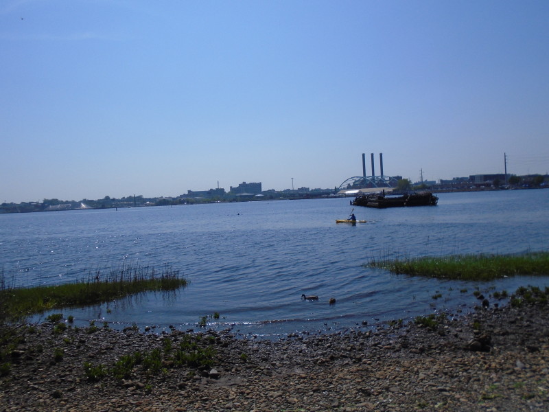
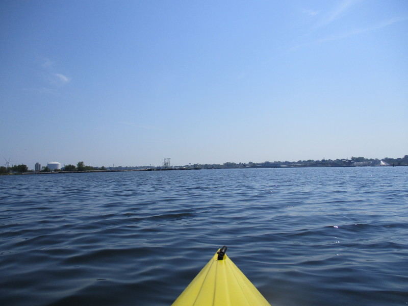
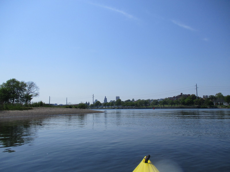
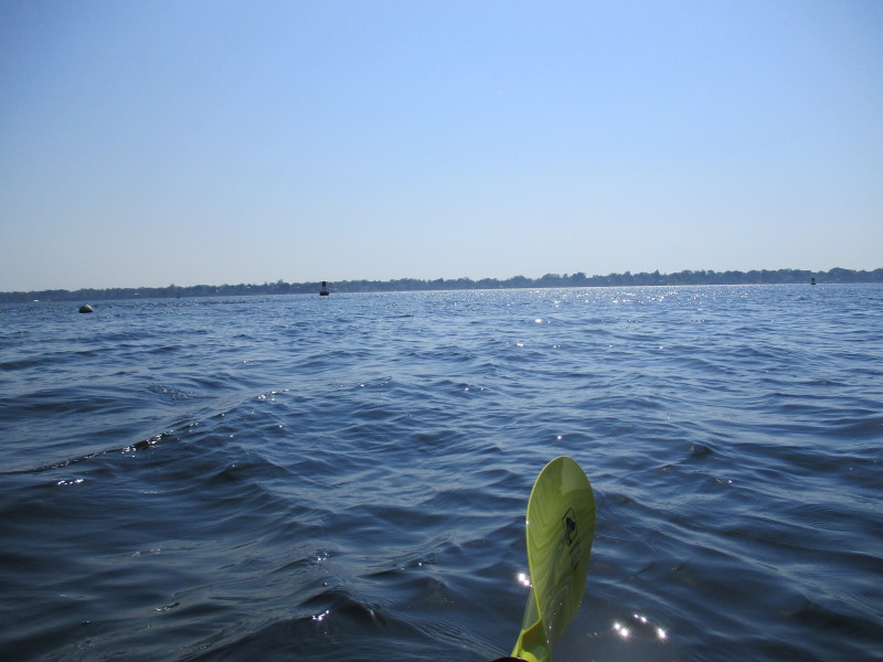
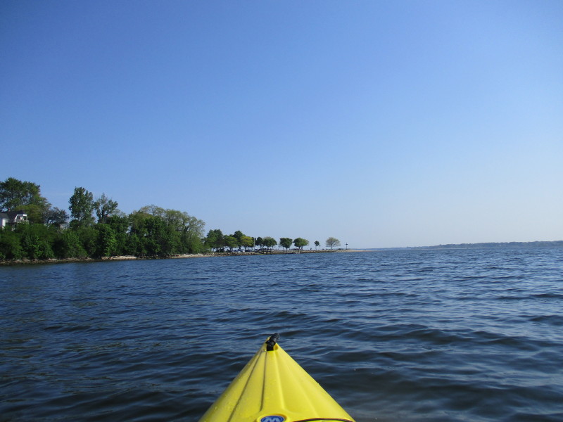
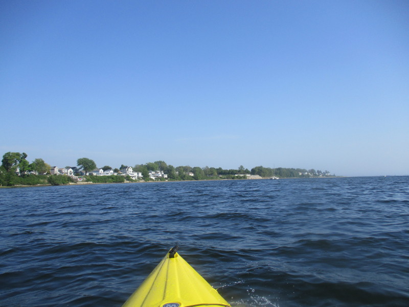
 Almost facing south now on the Providence River.
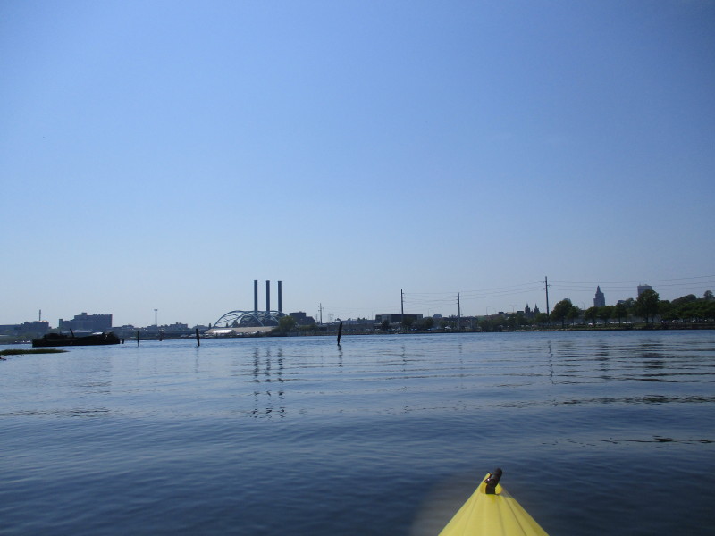
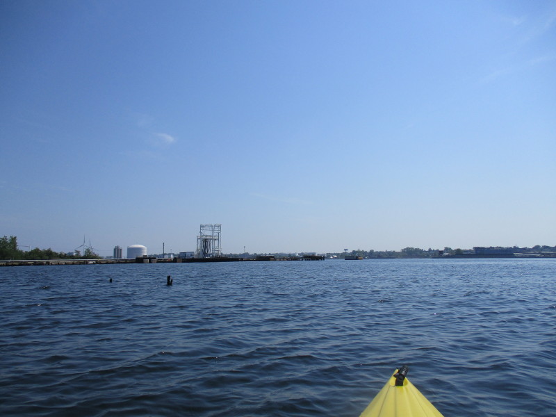
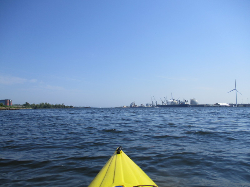
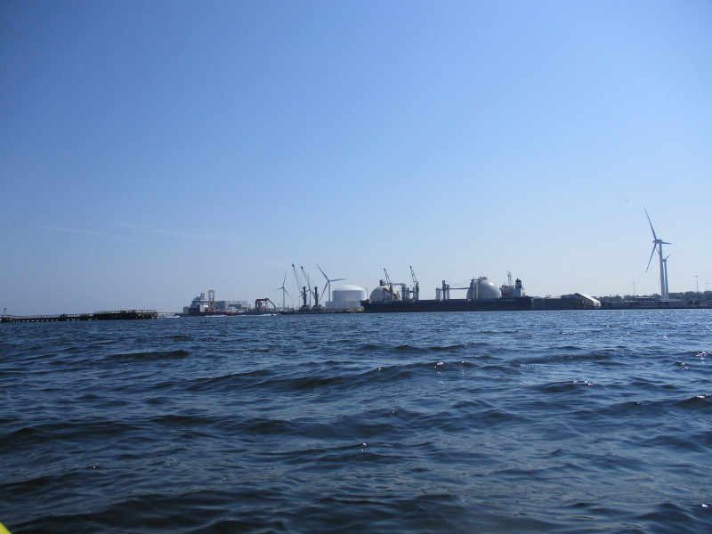
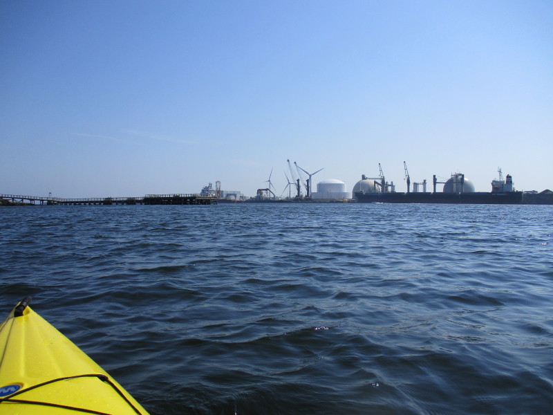
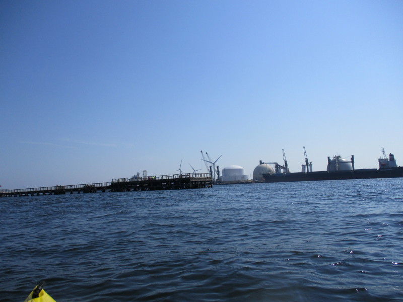
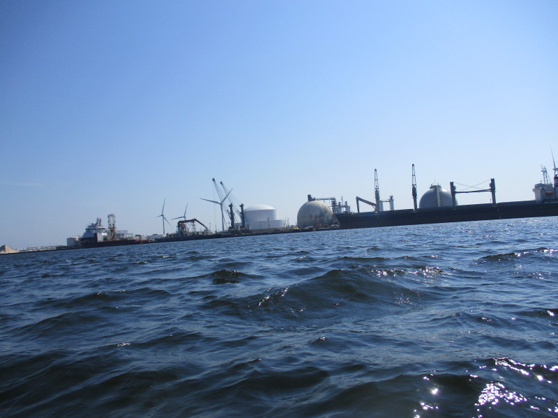
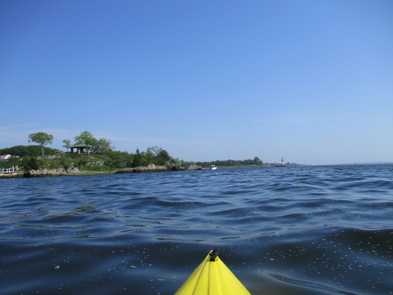
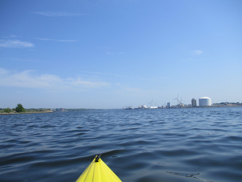 On left is the Port of Providence with the giant gas tanks and windmills.
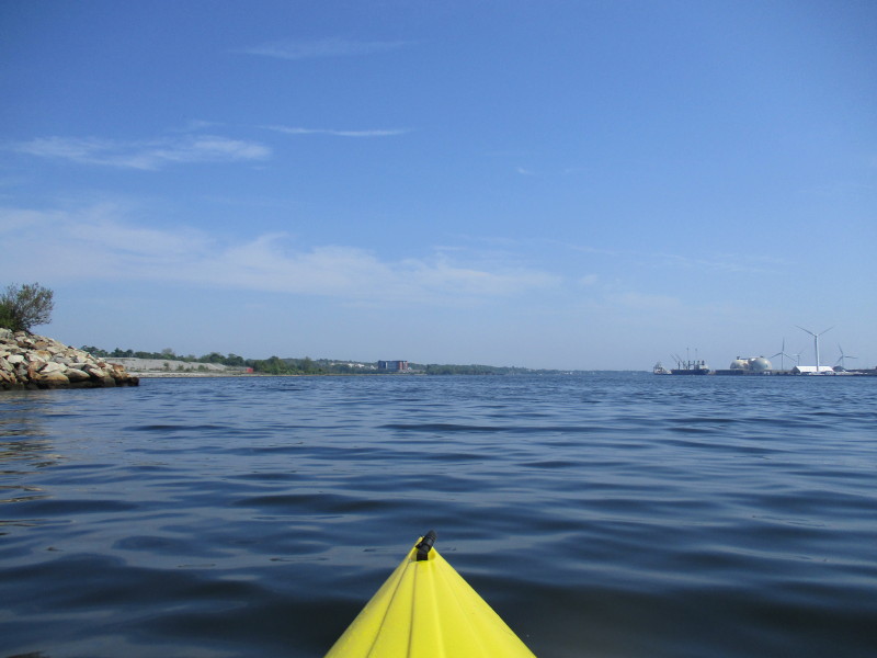
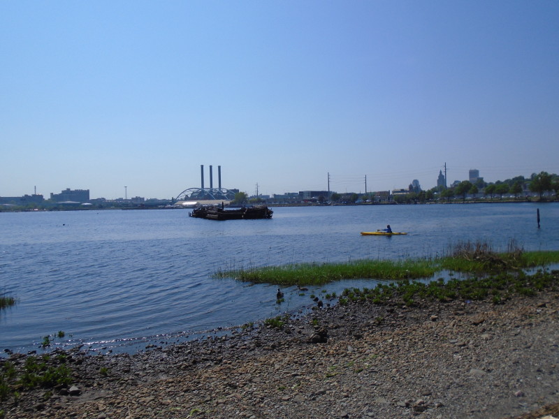
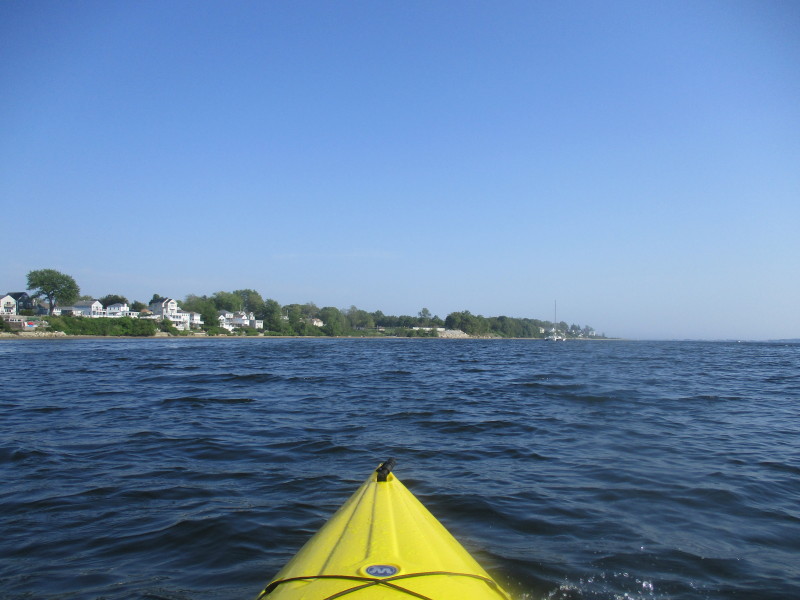
 The plan is to paddle south staying close to the east shore on my left side.
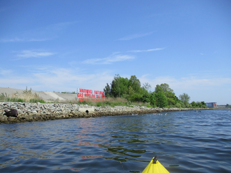 Sign says "WARNING NATURAL GAS PIPELINE DO NOT ANCHOR OR DREDGE".

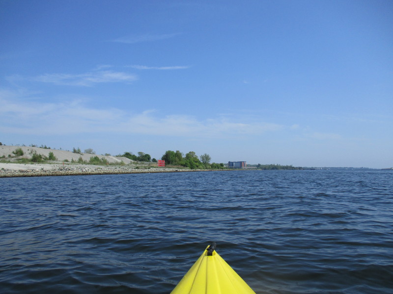
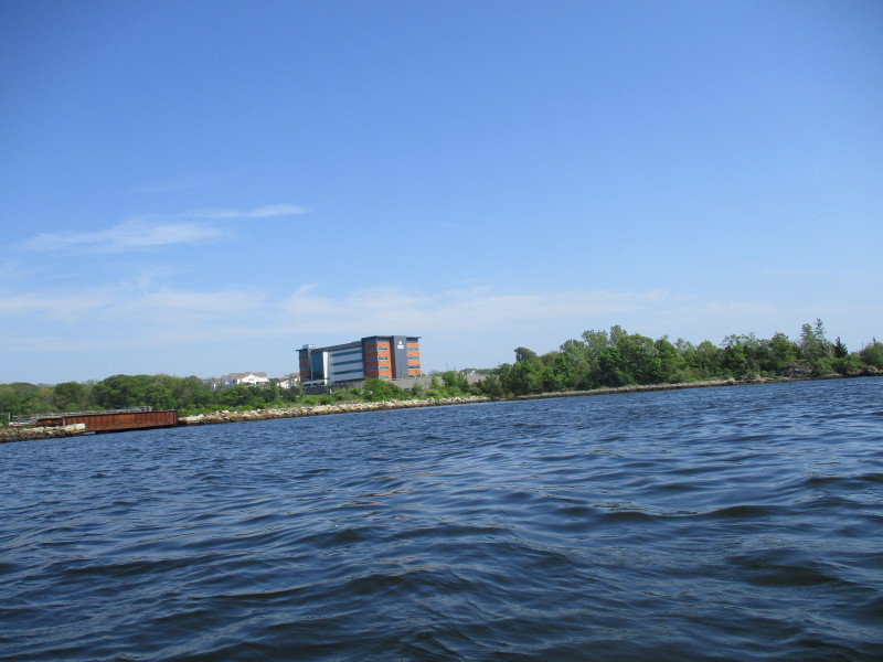 Sign on building says "University Orthopedics".
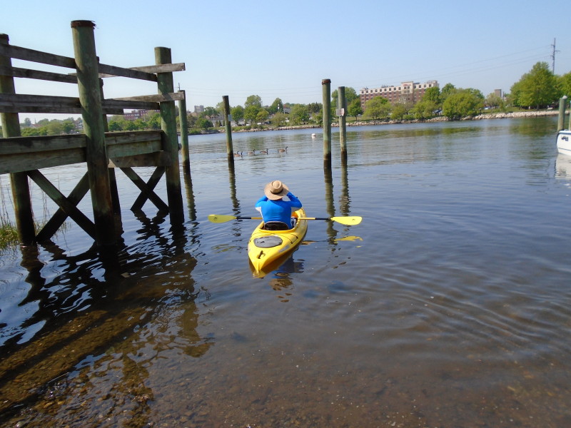
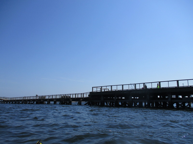
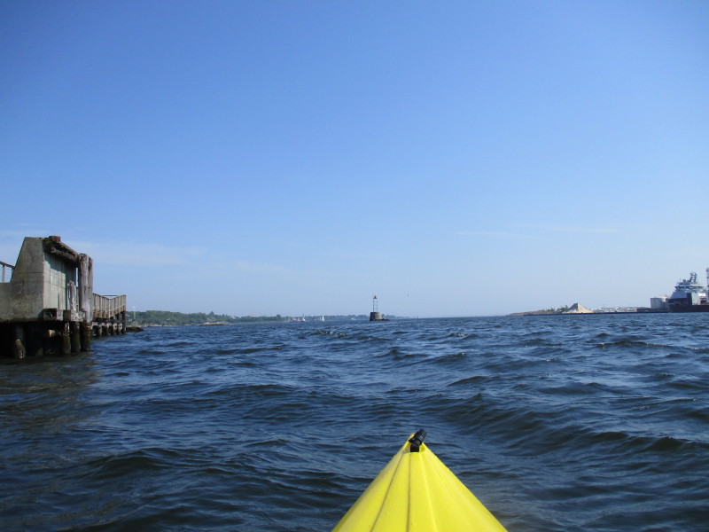
 Approaching a wodden foot pier jutting out from the east bank.
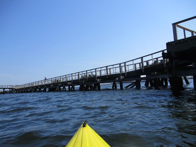 I am trying to pick the spot where to go under the wood pier.
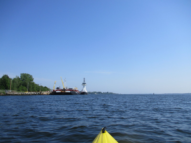
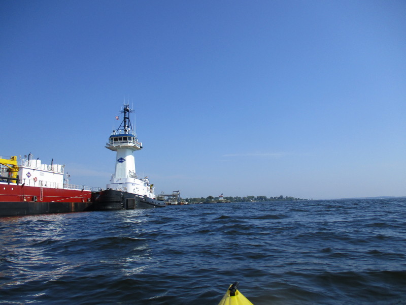
 I am just about to get past this tanker ship.
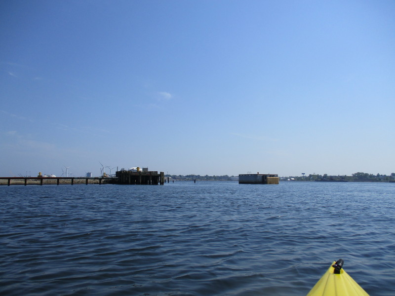
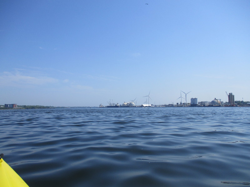
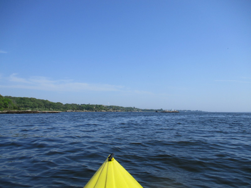
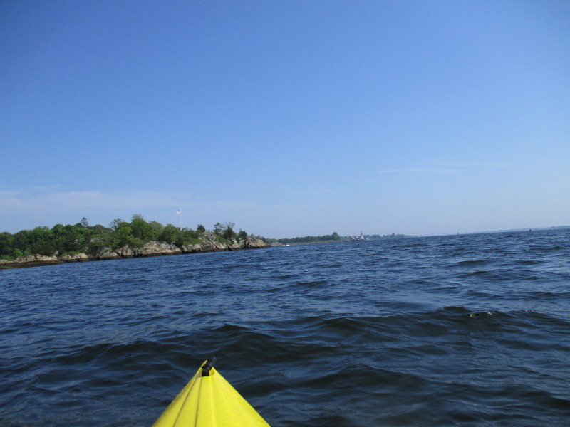
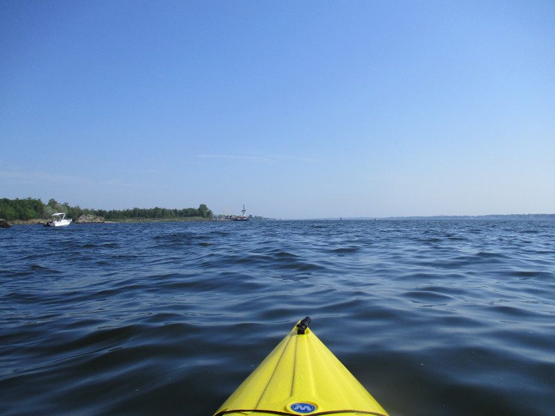
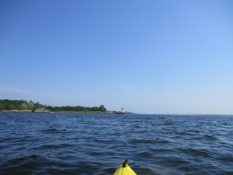
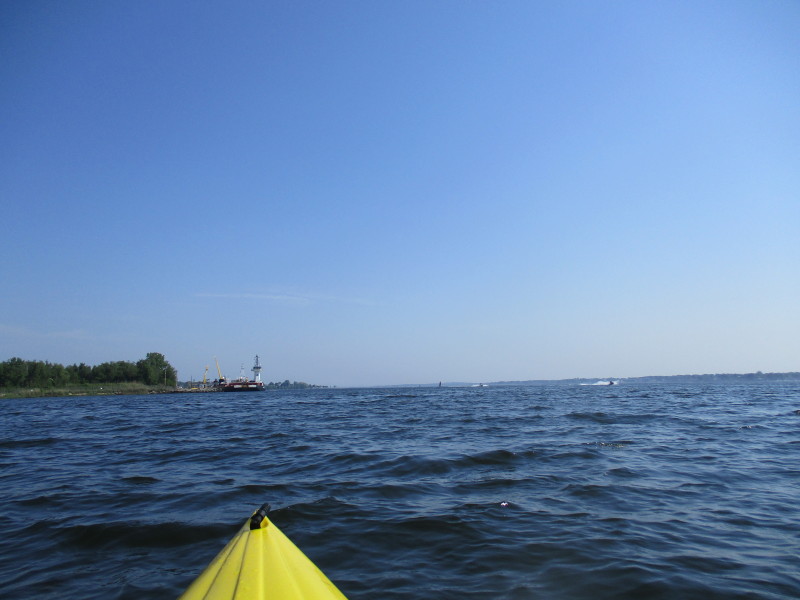
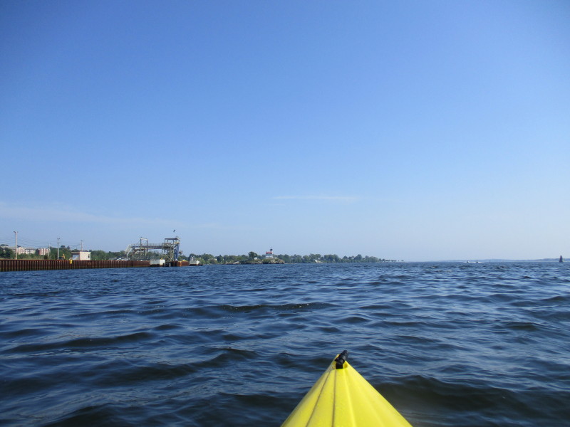
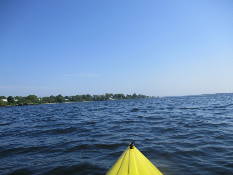
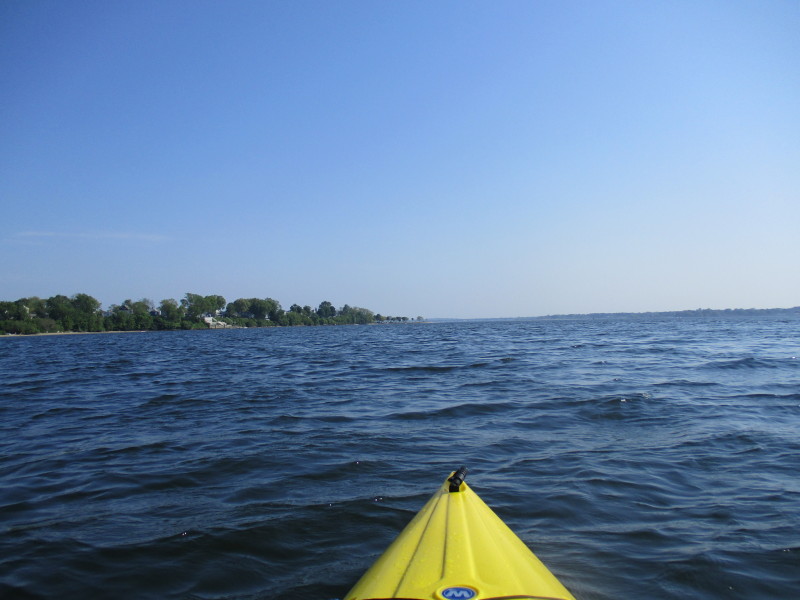
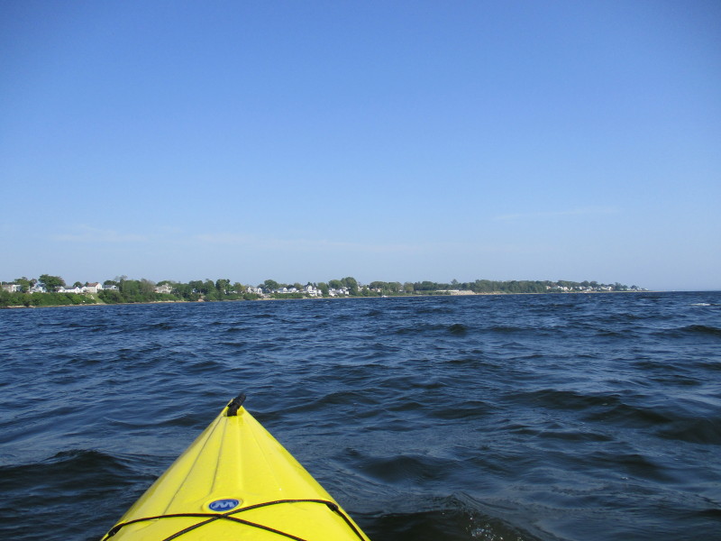
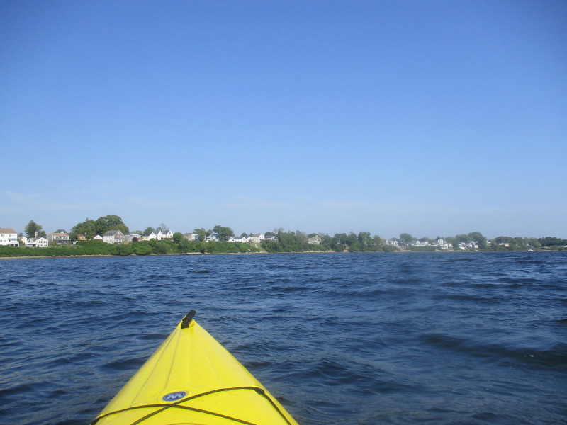
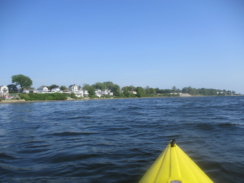
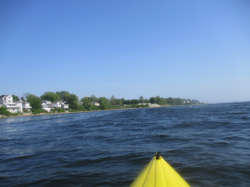
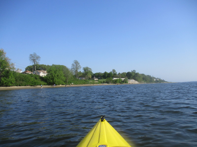
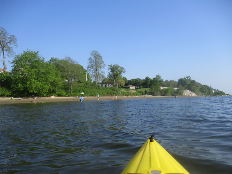
 Continuing south on Providence River.
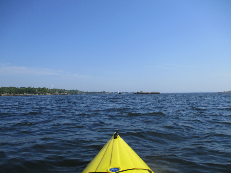
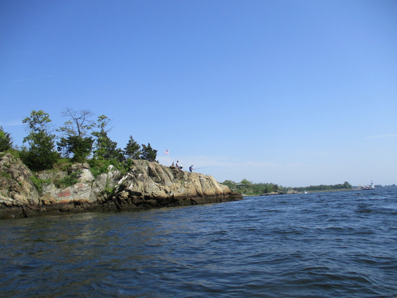
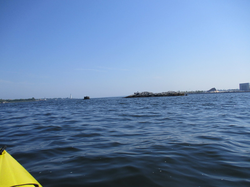 A rock island on Providence River.
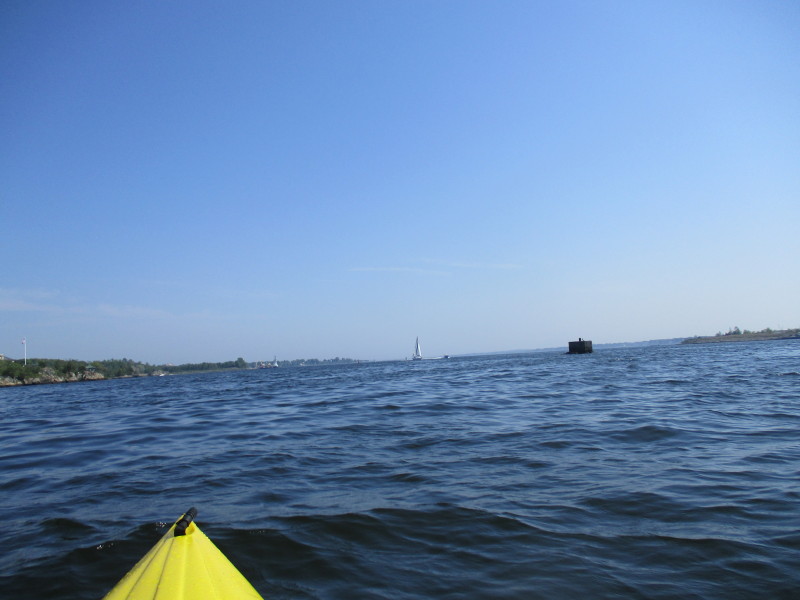
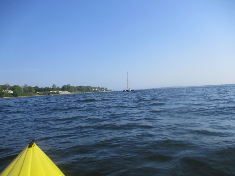
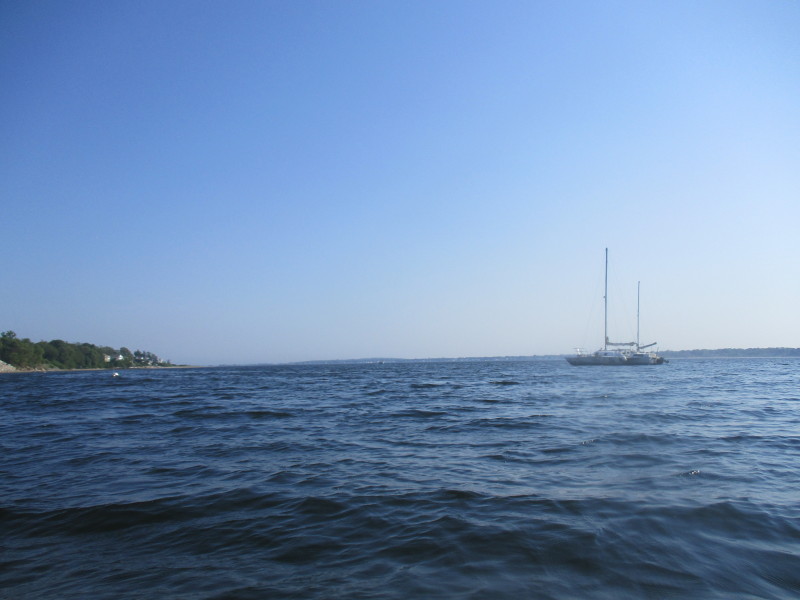
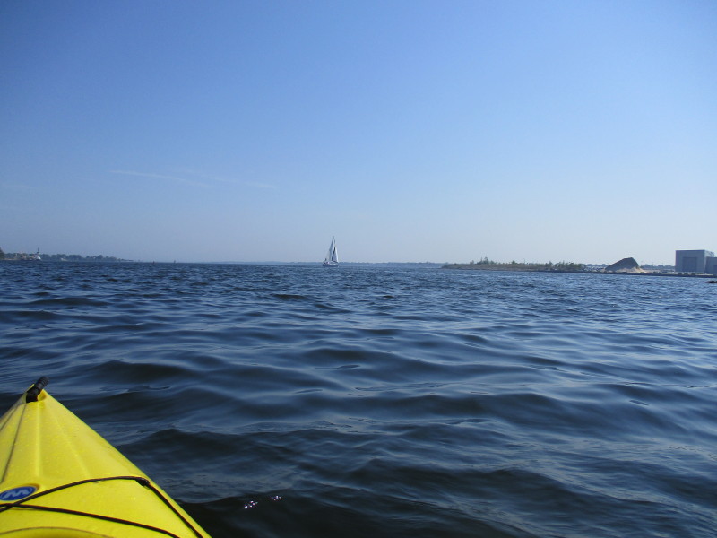 A sail boat on Providence River.
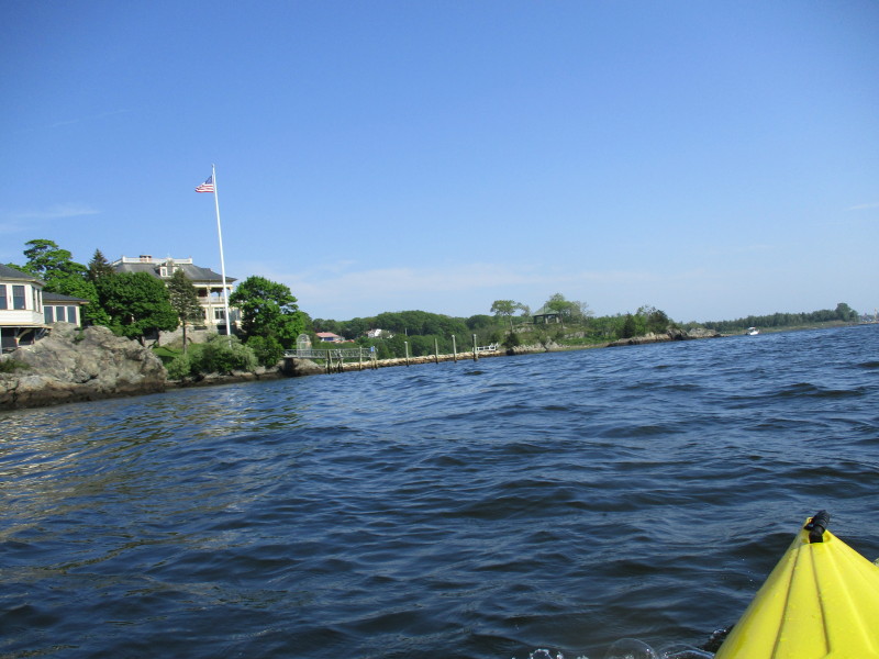
 Will veer left to get closer to shoreline.
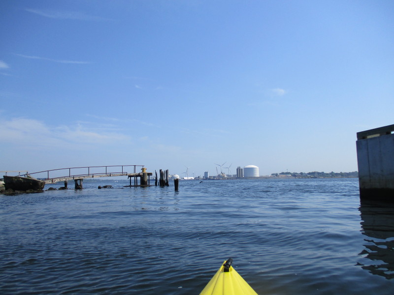
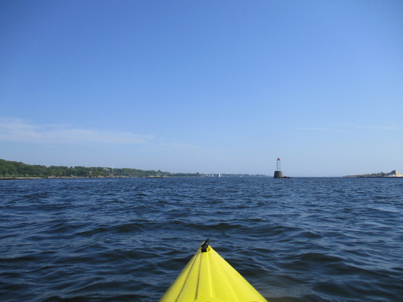
 I can now see the lighthouse.
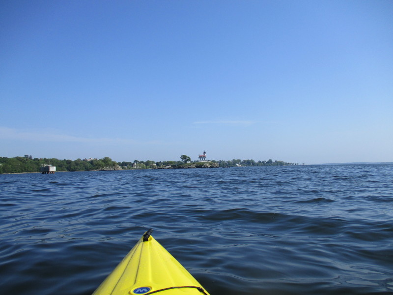
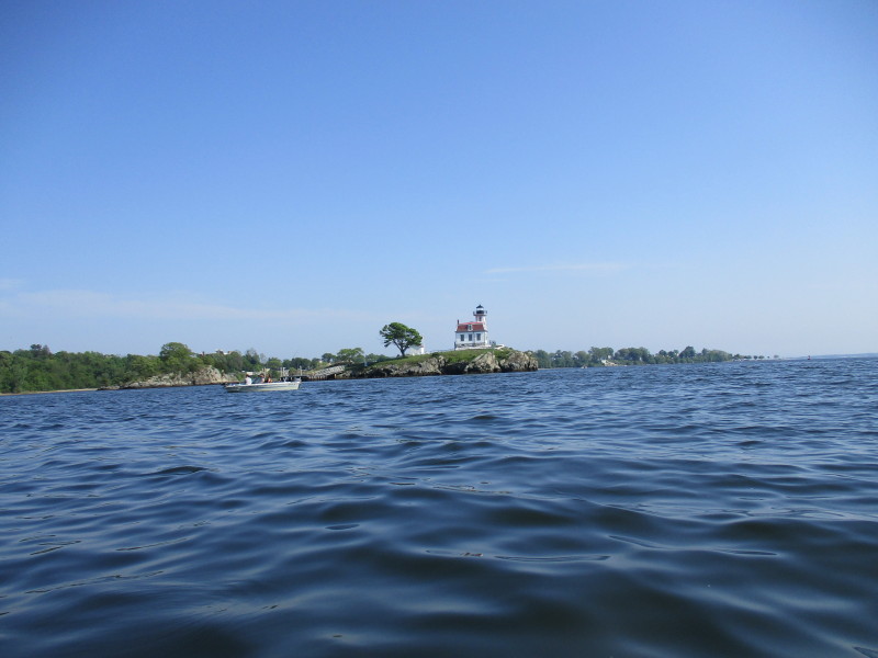
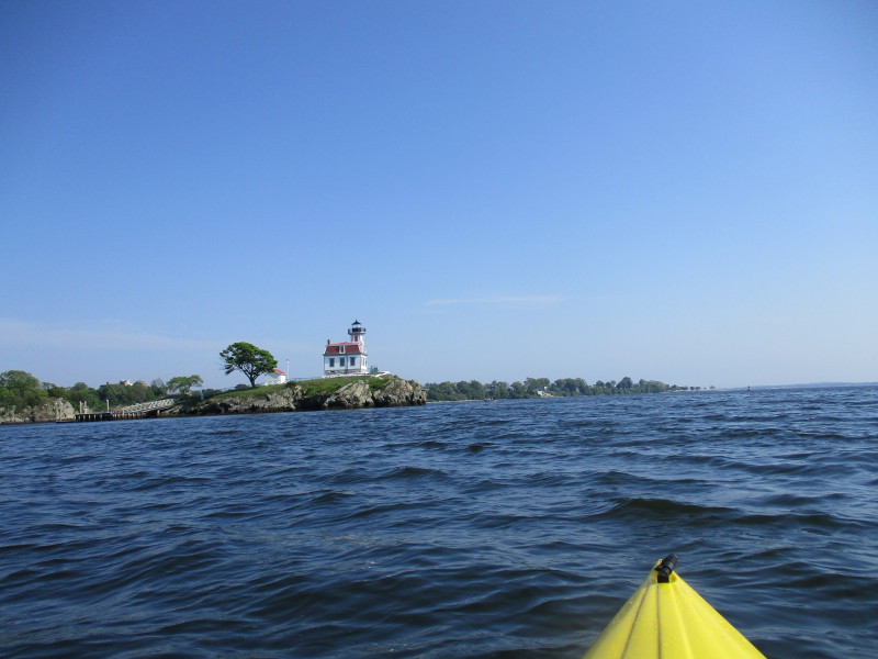 The Pomham Rocks Lighthouse is on an island rock in the middle of the Providence River.

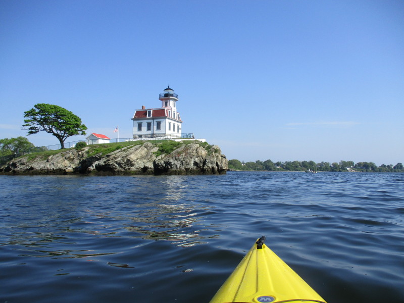
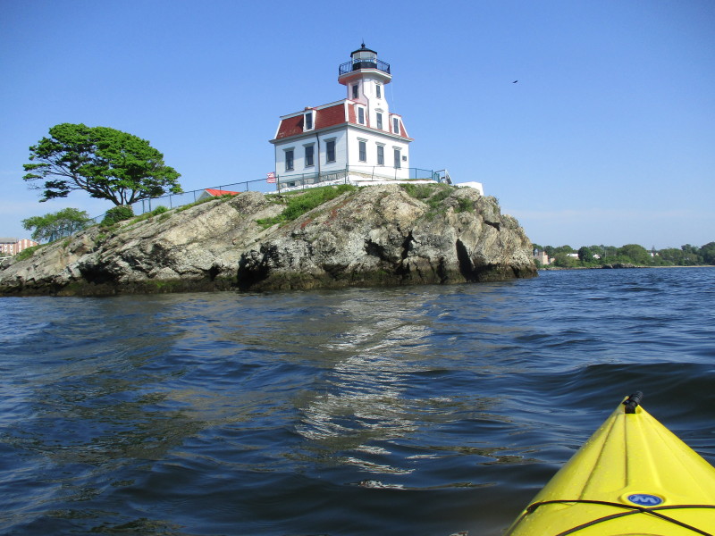
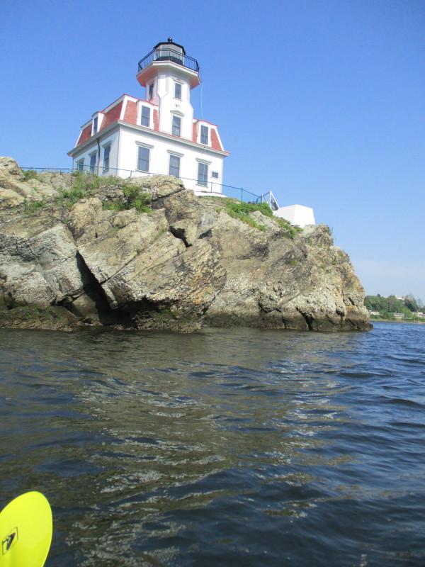 The Pomham Rocks Lighthouse looking from the west side.
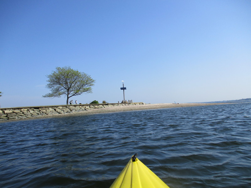
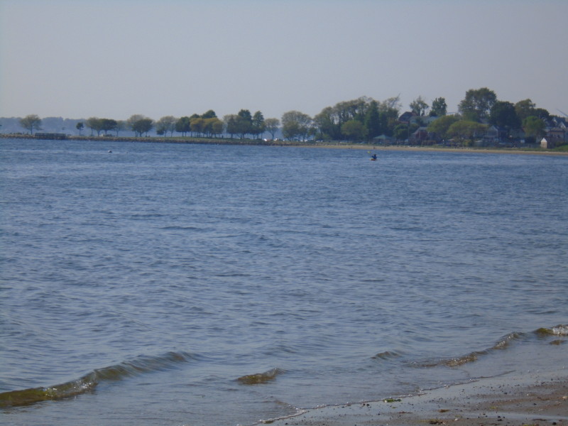
 Straight ahead is the Sabin Point Park.
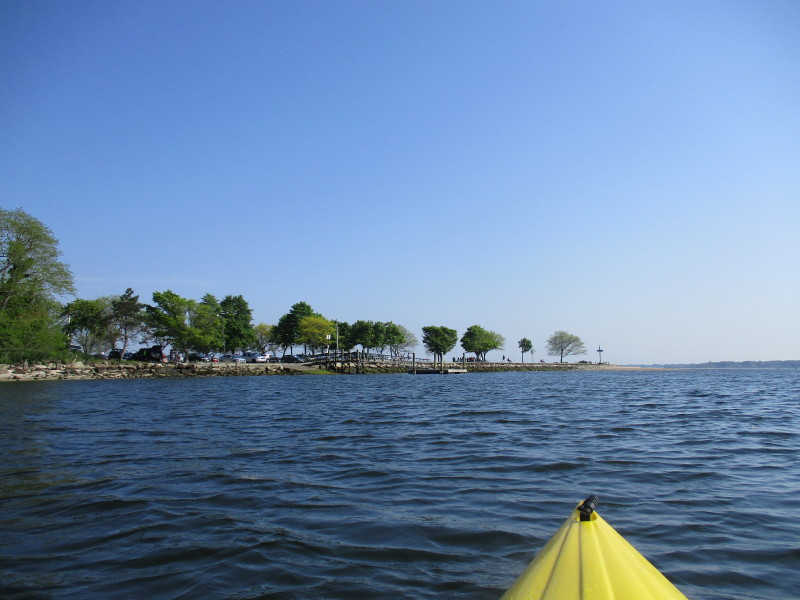 Approaching Sabin Point Park.
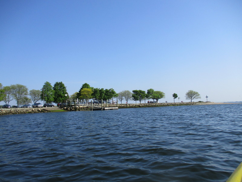 The ramp at Sabin Point Park and can be an alternate take out.
 I will go around this tip of the Sabin Point and then veer left after.
 Just got past Sabin Point and now approaching Larisa Park.
 A trimaran on Providence River.
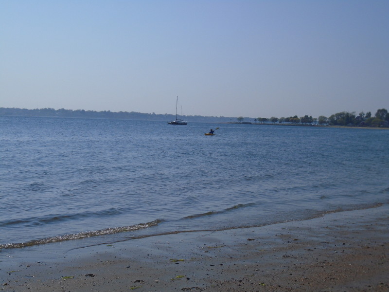
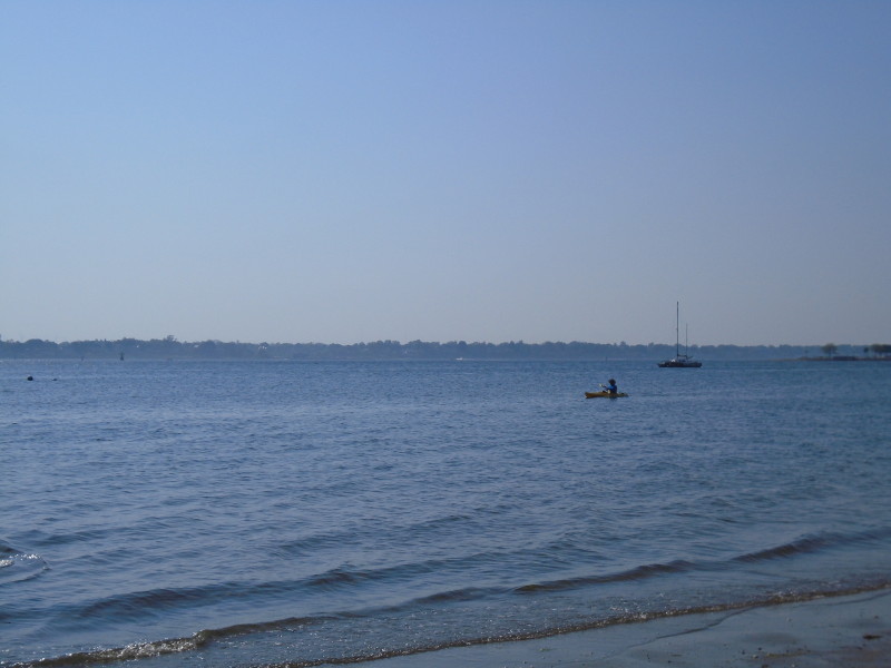
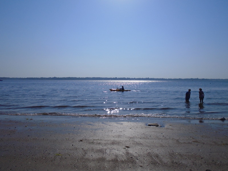
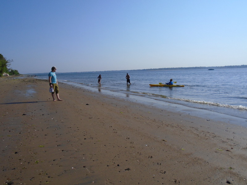
 From my wife's camera.
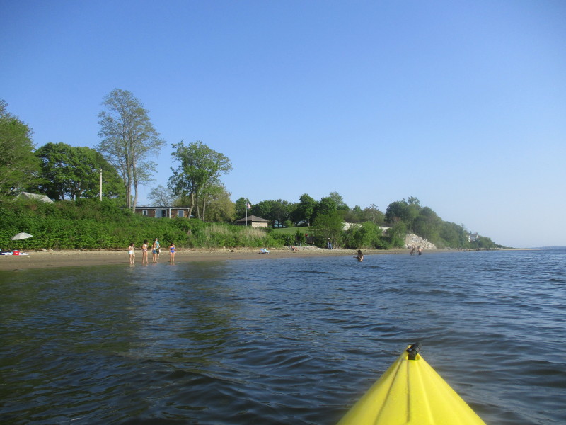
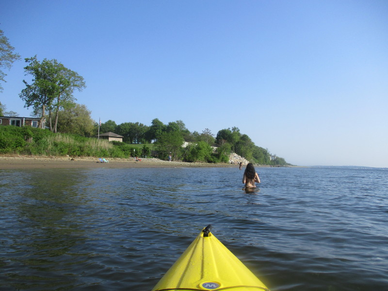
 Approaching the beach take out at Beach Road.
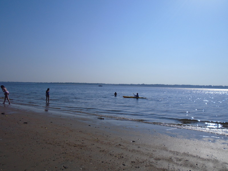
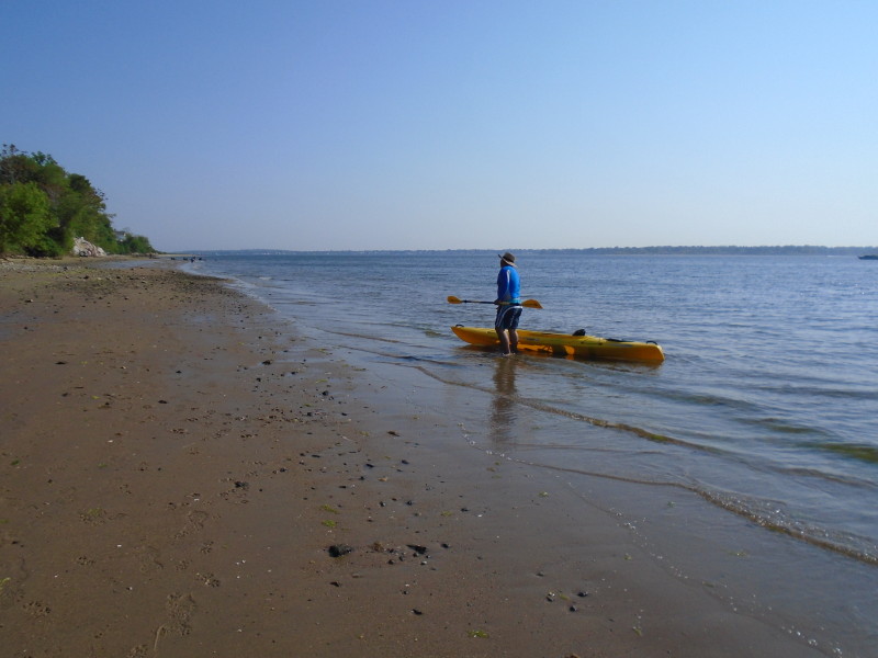 Landed. Paddle time was 1 hour 55 minutes.
|