|
Download printer-friendly
PDF version that fits in one page: |
Other resources:
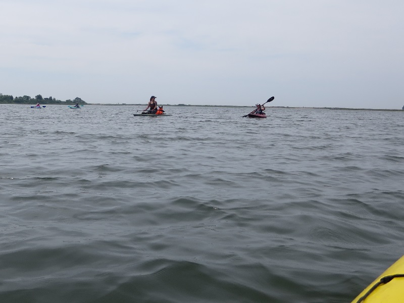
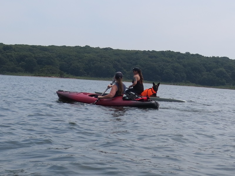
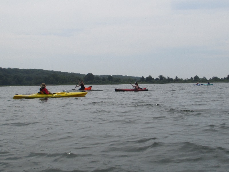
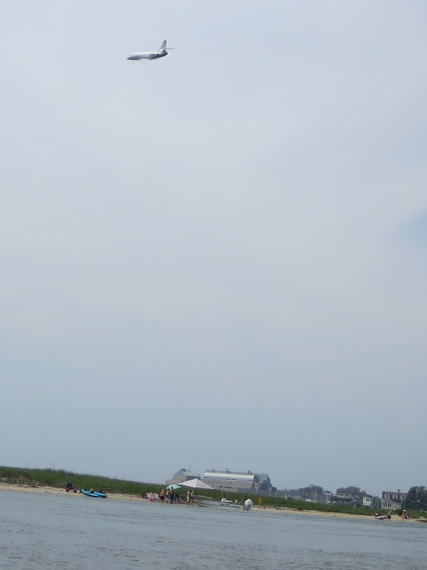
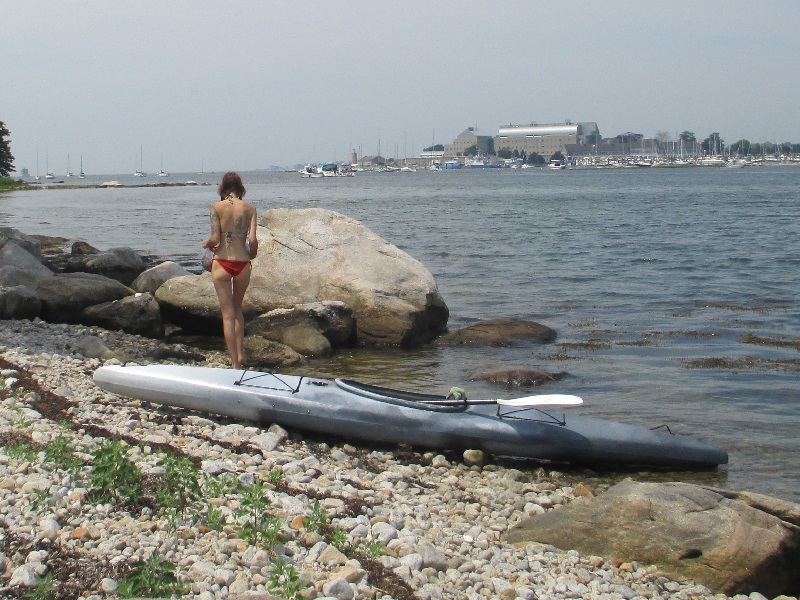
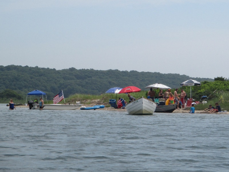
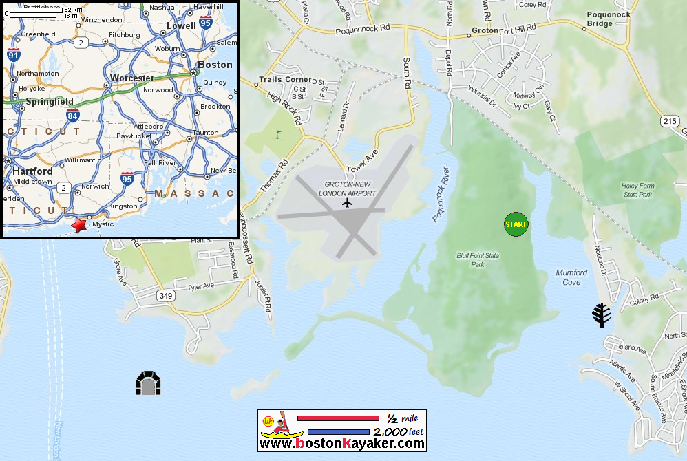
CT Govt: Bluff Point State Park (will open in new window) CT Govt: Bluff Point State Park Map CT Govt: Bluff Point State Park Map (cached copy) Paddling.net: Bluff Point State Park Kayaking Trip Report 1 Paddling.net: Bluff Point State Park Kayaking Trip Report 2 All photos in this website are original and copyrighted. At Bluff Point State Park on Depot Road in Groton CT. Trip date is July 2018. Today's kayak buddy is the Boston Kayaker's wife. The Boston Kayaker just launched on Poquonnock River. It is about 2 hours before high tide. Skies are a bit cloudy which is good because temperatures would have been 90sF. Paddling south . . . On our right is the Groton-New London Airport. On left is the Bluff Point State Park jutting out to the sea rightwards. Jetskiers on Poquonnock River. It turns out there is a parking lot for this State Park and a better launch . . . Getting south out of the launch cove. Sign says "State Property. No Trespassing" We are going around the airport land on right. The Boston Kayaker checking our paper-map. Small planes have been coming and going to and from this airport. Stand-up paddlers on Poquonnock River. Continuing eastwards. The barrier beach directly ahead of us. That gray building towards the left is the University of Connecticut Marine Sciences. Straight ahead (on right of picture) is Bushy Point Island. Will take a break at Bushy Point Island. Landed at Bushy Point Island. Walking a bit on the island, looking south at the Atlantic Ocean. Launching back to the water. Continuing westwards to the marinas. We just turned around. Now paddling eastwards to return. Lights to guide planes coming in. Beach party. Now back at the green shore of Bluff Point State Park on right. A swimmer on the water. Entering the launch cove. The State Park parking lot. New York-bound AmTrak train. Landed. Paddle time is 2 hours 19 minutes. |