Other resources:
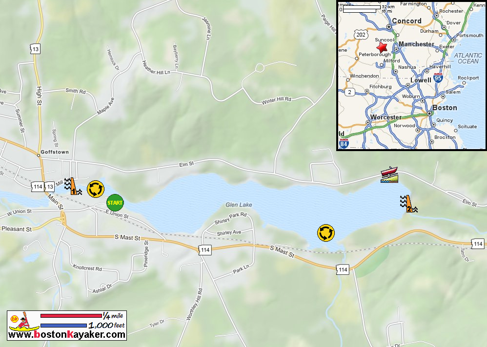
NH Govt: Glen Lake Map
NH Govt: Glen Lake Map (cached copy)
Number of original photos on this page : 62
All photos in this website are original and copyrighted.
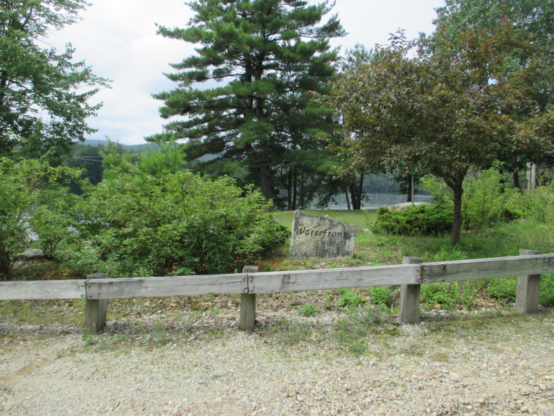 At the Waterfront Park on Elm Street in Goffstown NH.
Trip date is July 2017.
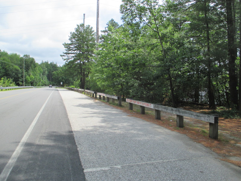 I made the mistake of using this ramp that requires resident parking permit.
Parked briefly across the street (for cars with boat trailers) and was immediately
noticed by a patrolling policeman and was told to park at the nearby school instead.
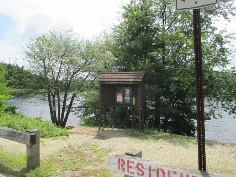
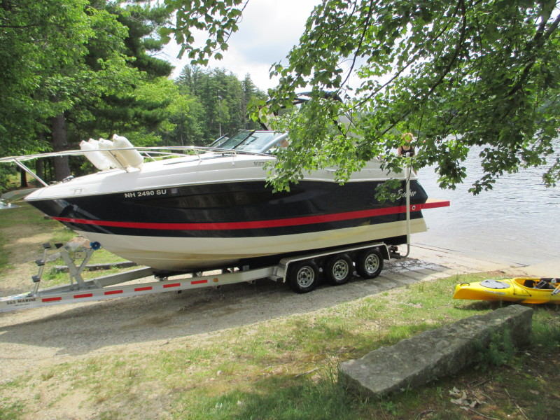 A big boat being pulled from the Glen Lake's ramp.
My yellow kayak is on the side.
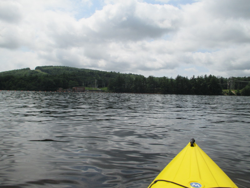 The Boston Kayaker just launched on Pistacaquog River's Glen Lake in Goffstown NH.
On my left, the buoys on the top of Kelly's Falls Dam.
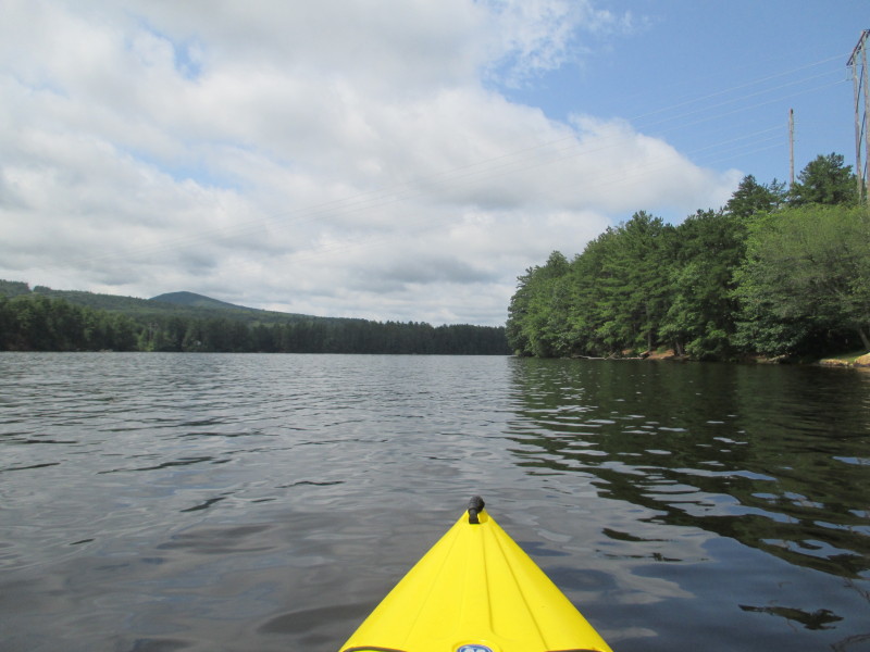 Veering to my right westwards.
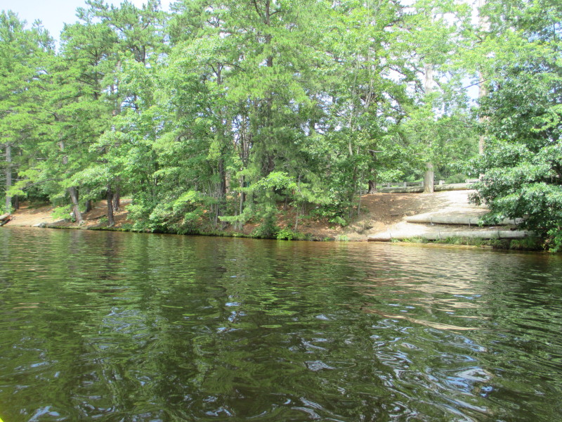 On right is the waterfront Park next to the ramp.
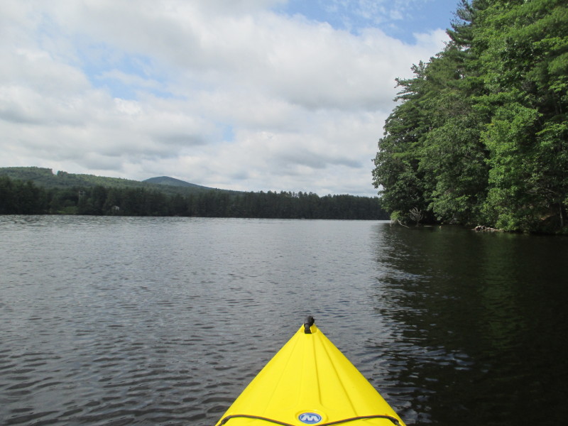
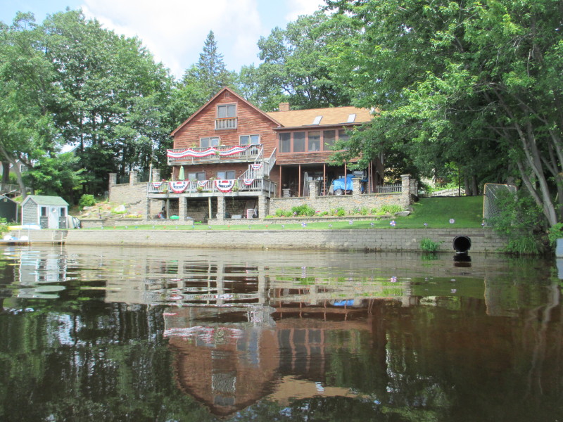
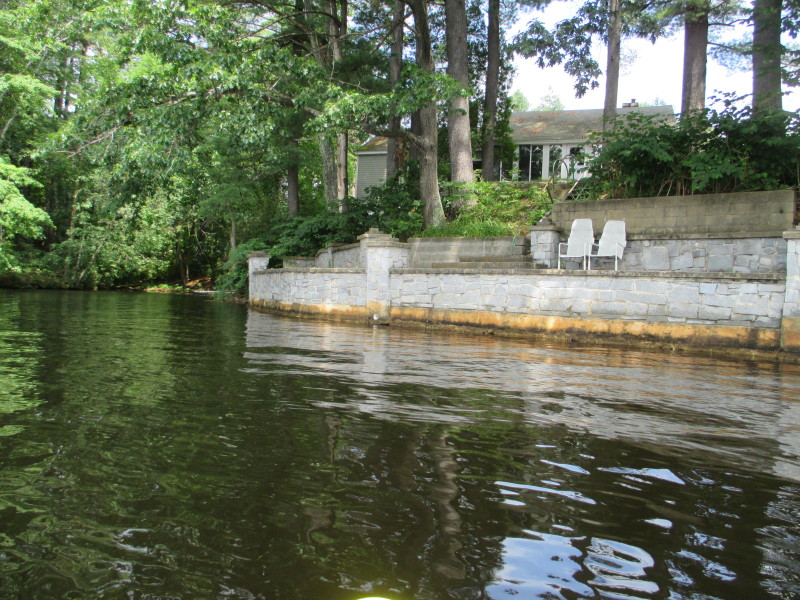 Water-front house.
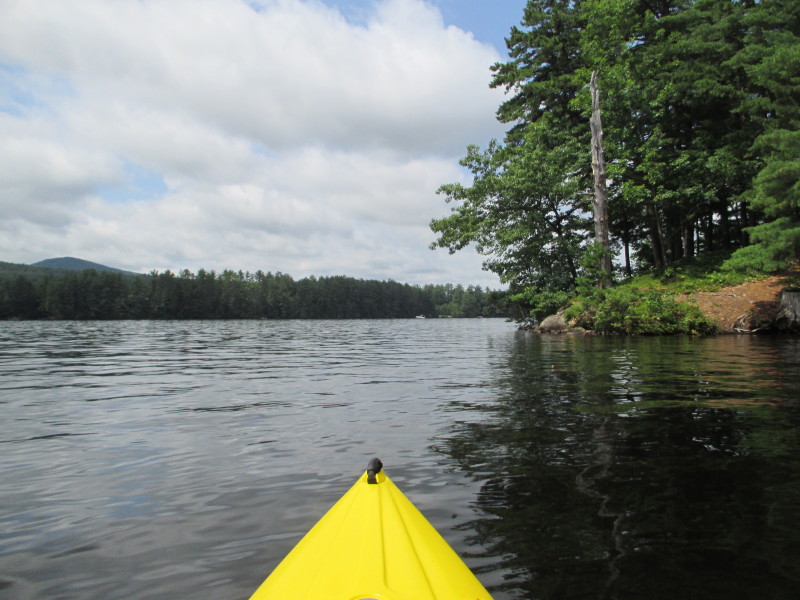
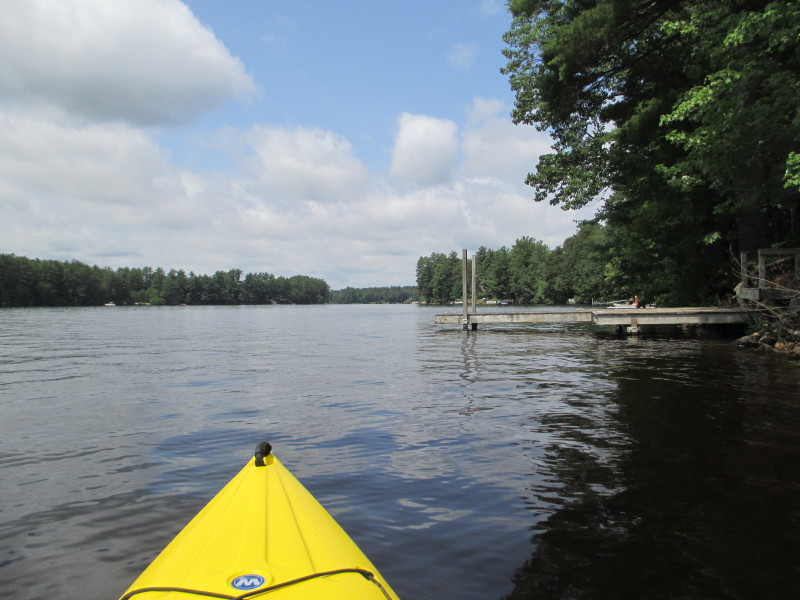
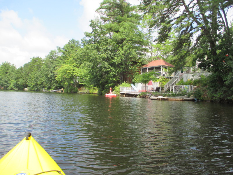
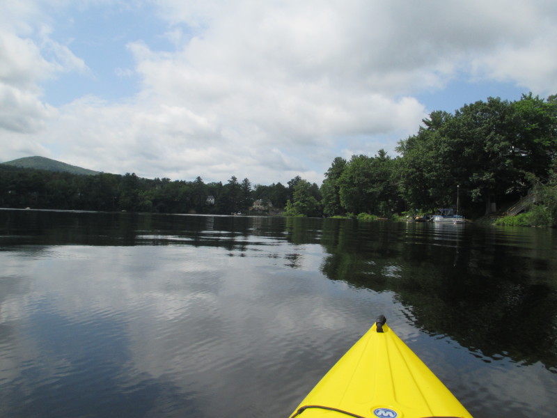
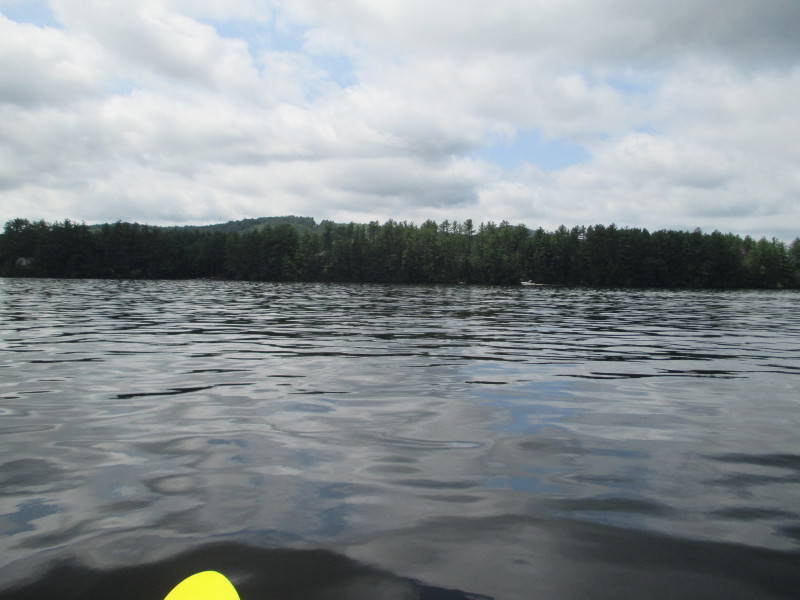 Looking to my left, the southern coast and a mountain in the background.
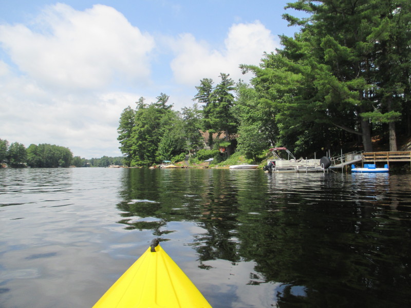
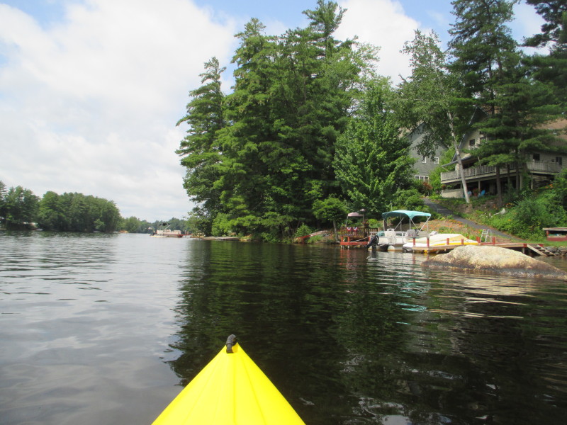
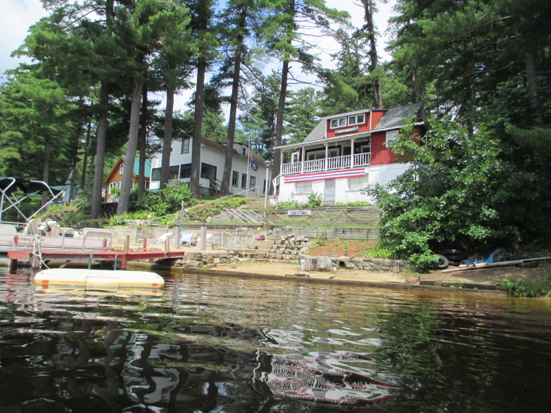
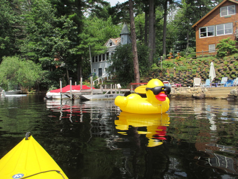 An inflatable rubber-ducky on Glen Lake.
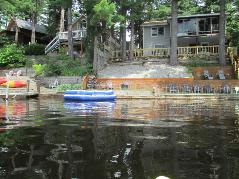
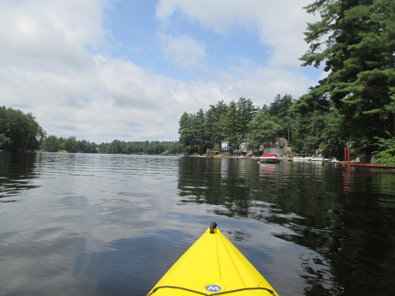 Continuing westwards.
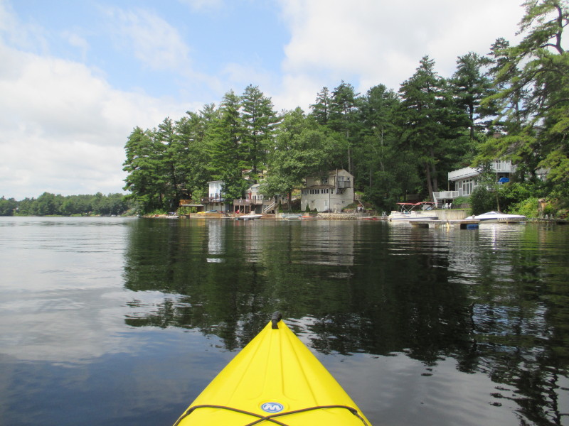
 Fast boat on Glen Lake.
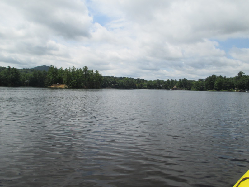 On the left half of the picture is an island on Glen Lake with some plastic chairs.
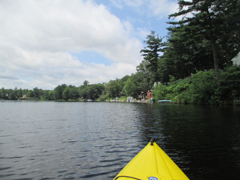
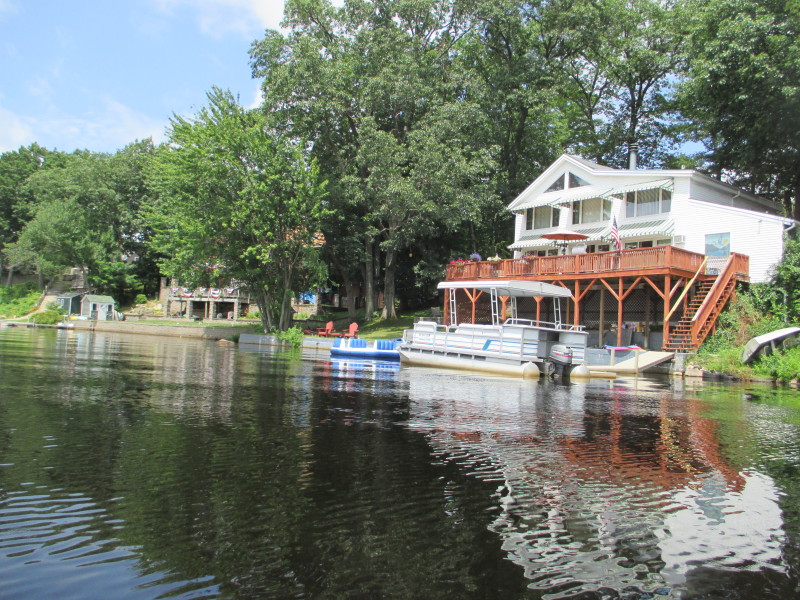
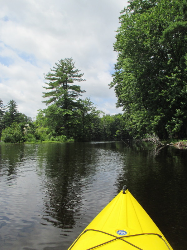
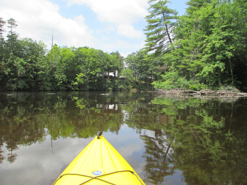 Now entering the western narrower section of Piscataquog River's Glen Lake.
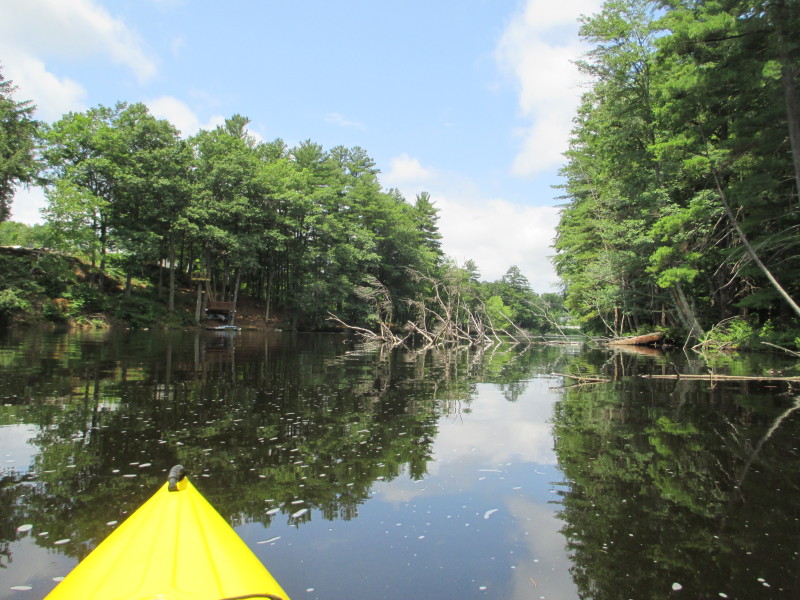
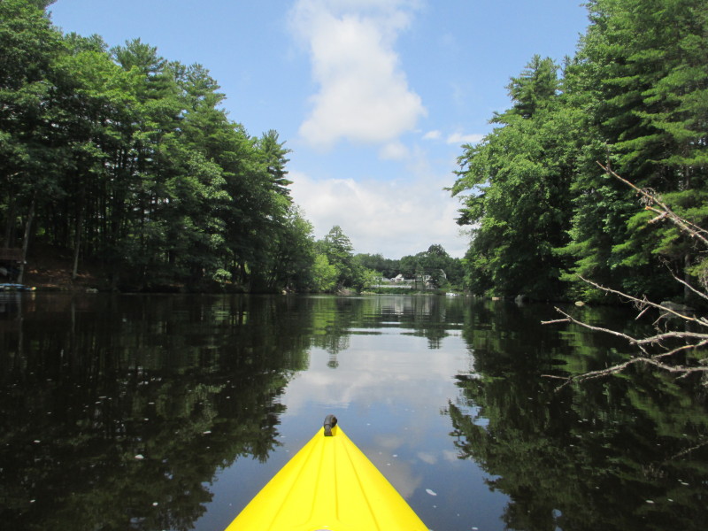
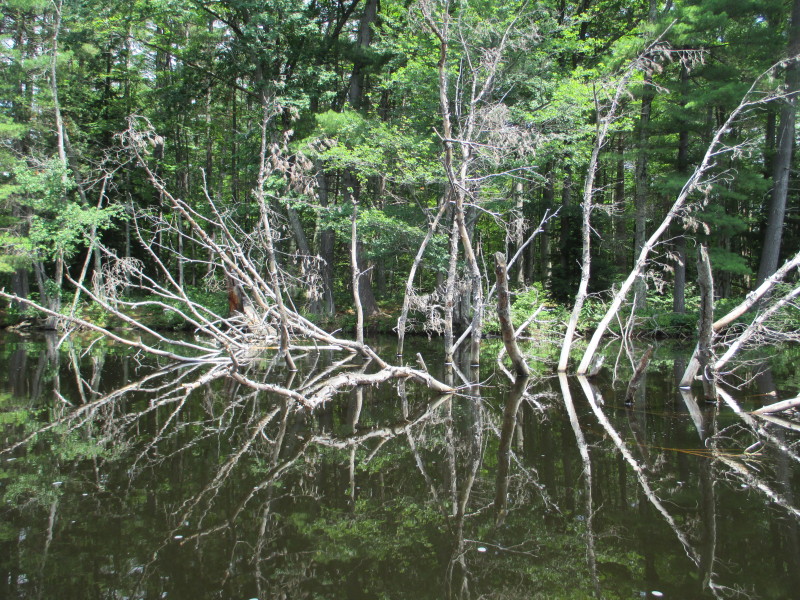
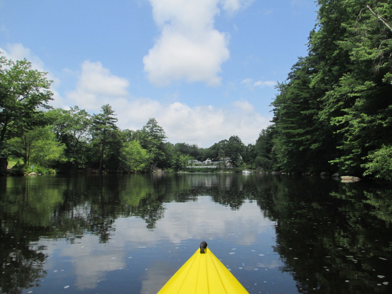
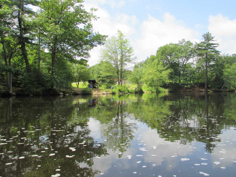 The access from East Union Street. Knowing what I know now, this
will be my preferred put in spot. Changed the map to this.
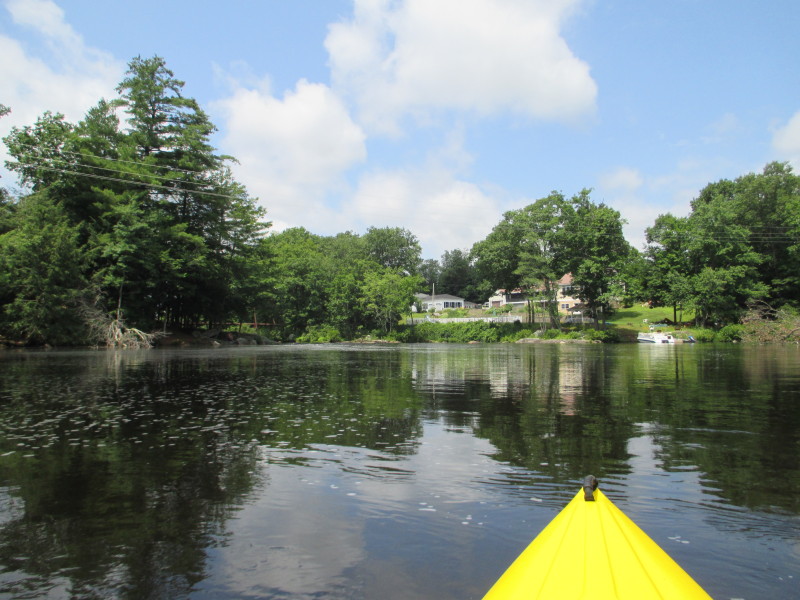
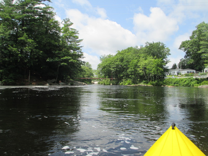 Continuing west, the water if flowing rapidly here.
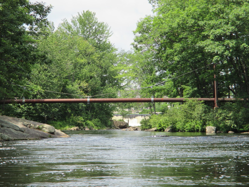
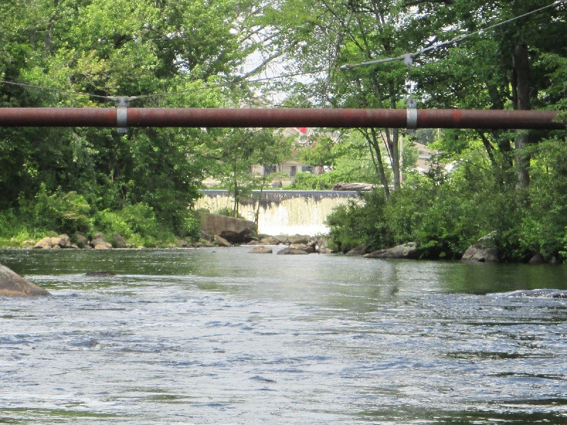 I can see the bottom of Piscataquog River's Gregg Falls.
This is my point of return.
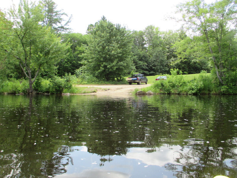 Just turned around and now paddling eastwards, the East Union Street acccess on my right.
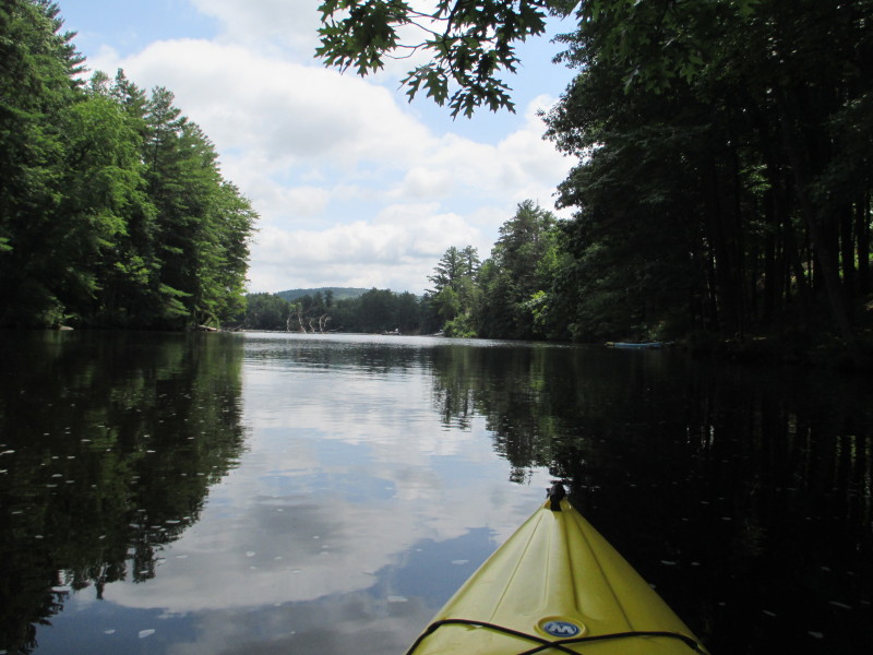
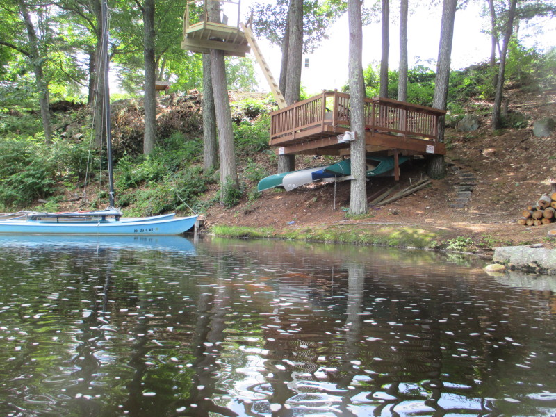
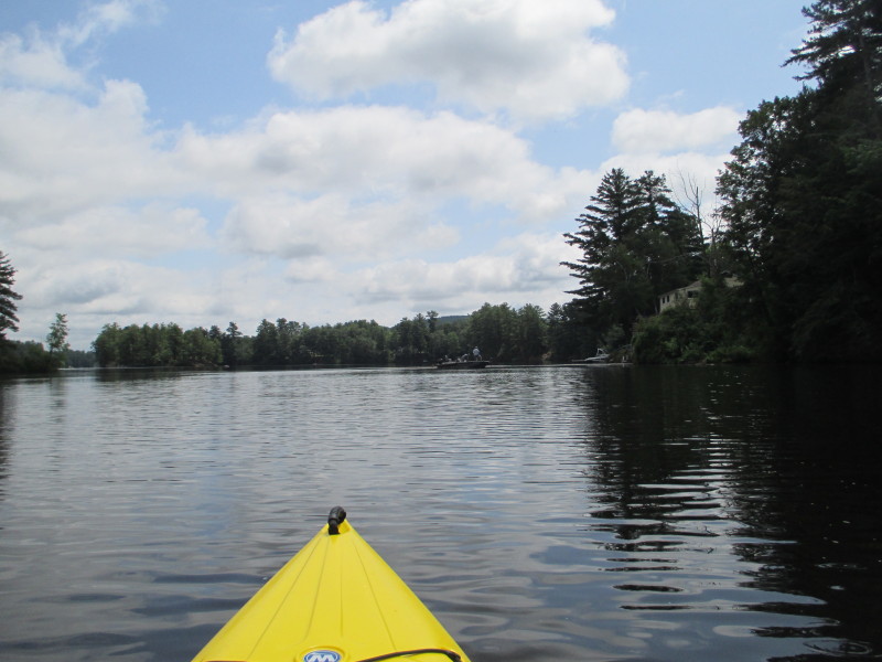
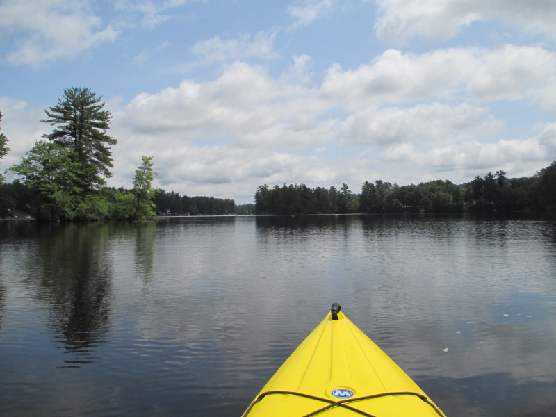 Now on the wide section of Glen Lake, approaching a smaller island on left (not the one with plastic chairs).
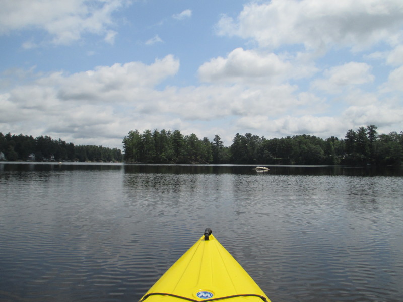
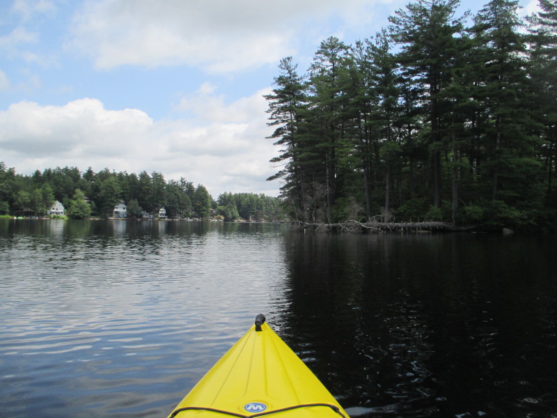 On the right half of this picture is the big island in the middle of Glen Lake with plastic chairs.
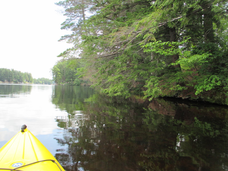
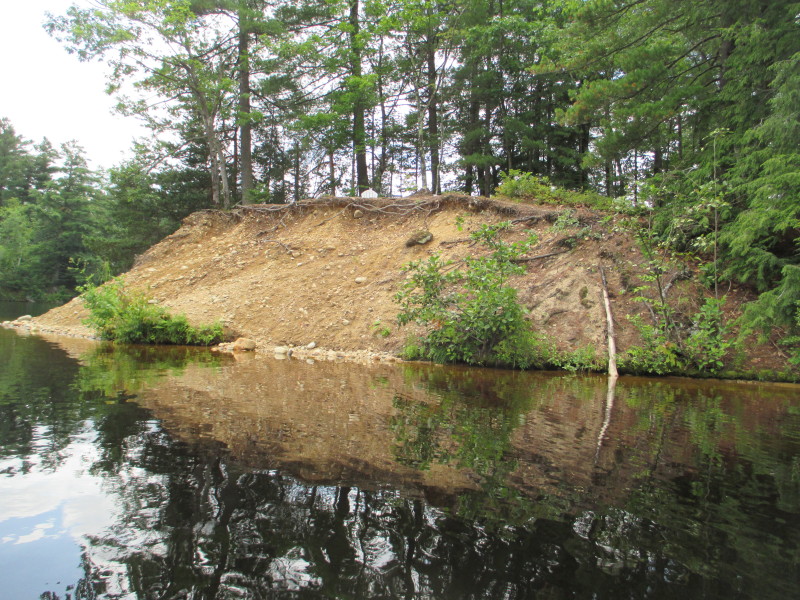 From this close to the island, I can only see the top of the plastic chairs.
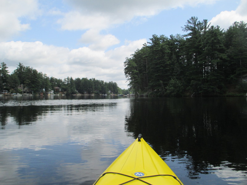 Continuing eastwards . . .
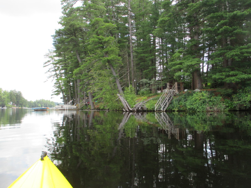
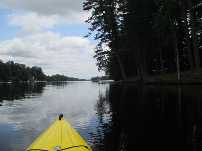
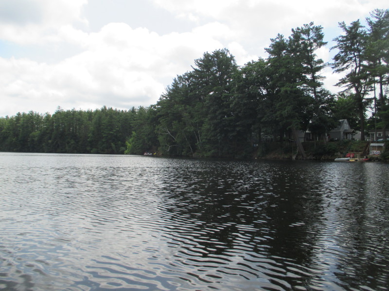 On my right (south shore), some stretches of undeveloped green space.
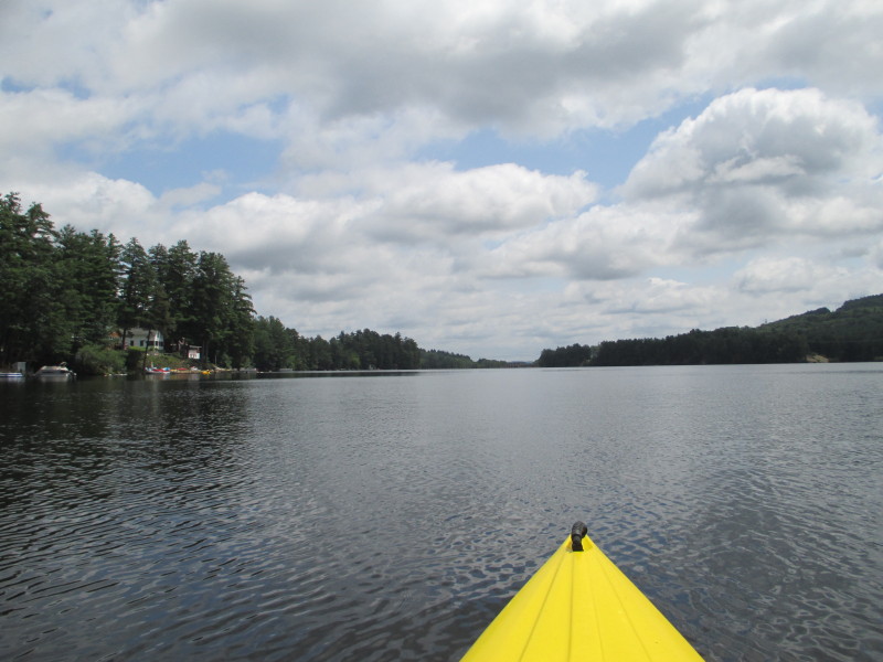
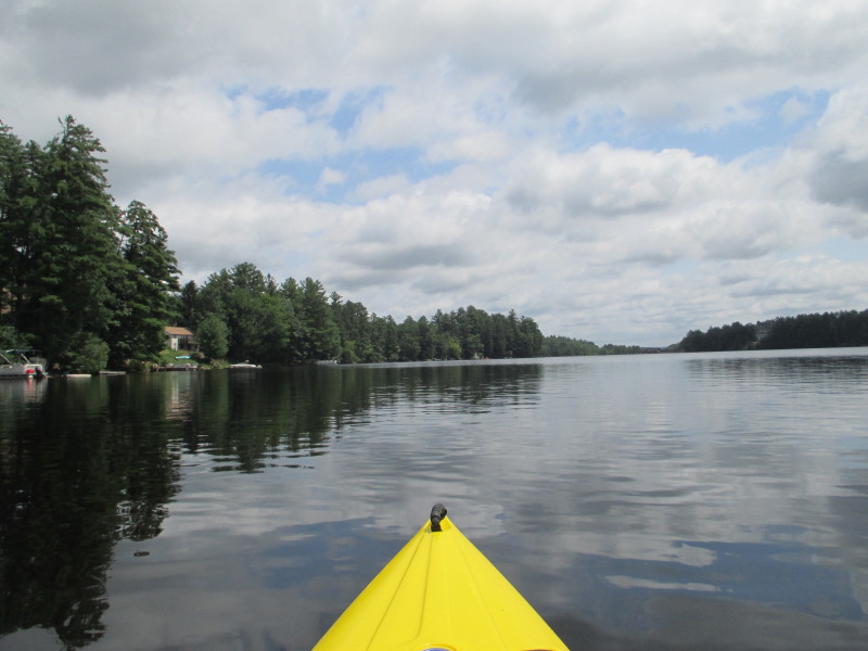 I am getting close to ramp and will now veer to the northern shore on my left where the ramp is.
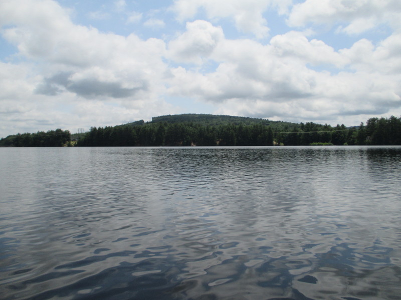 Looking to my right, the southern shore of Glen Lake.
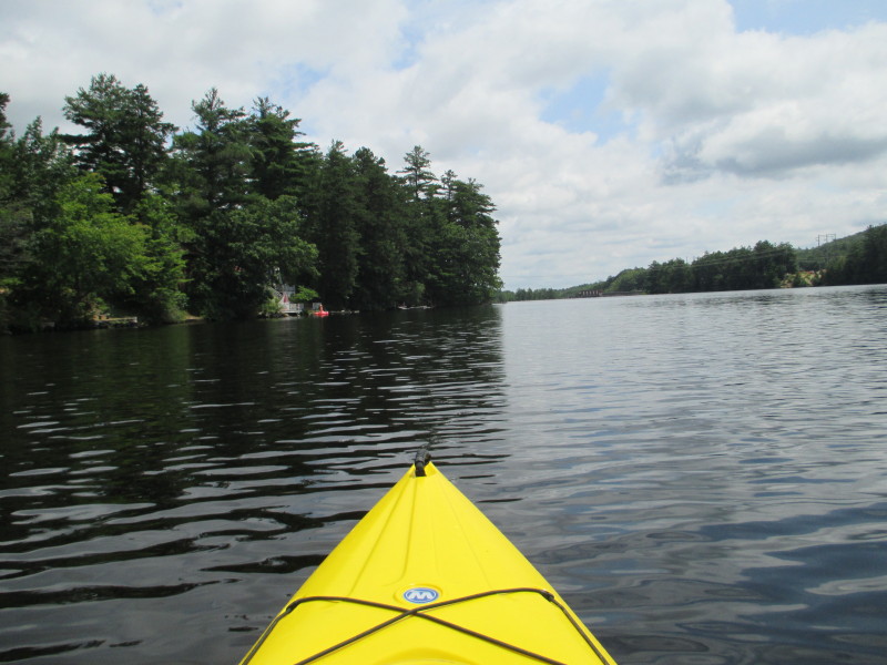
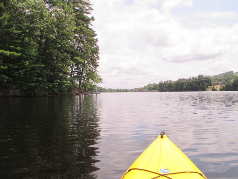 I can see the orange buoys near the dam (hard to see in the picture) and the hydro station.
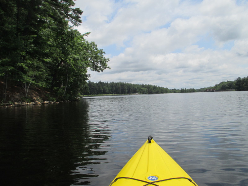
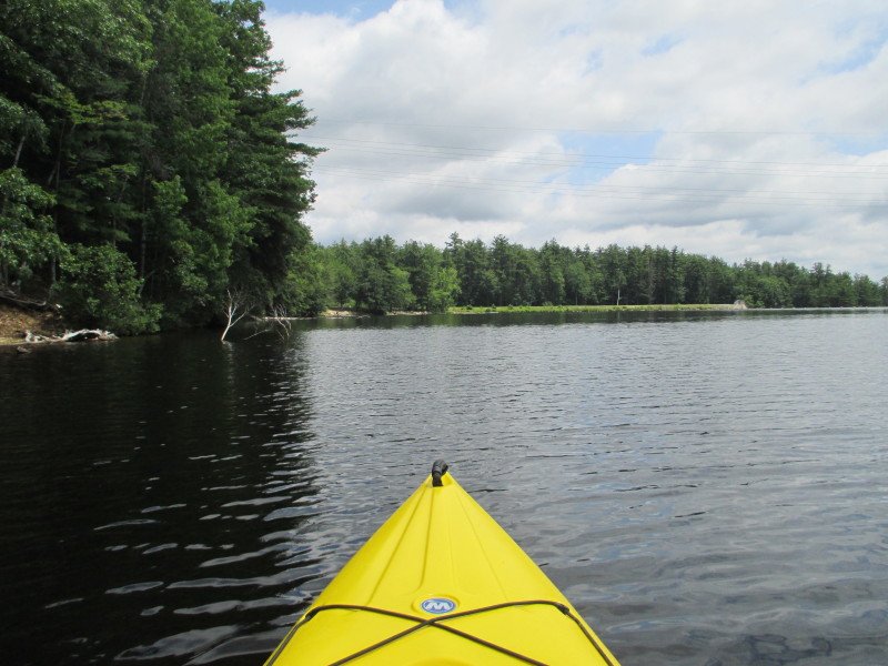 I can see the ramp on my left.
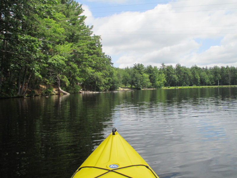
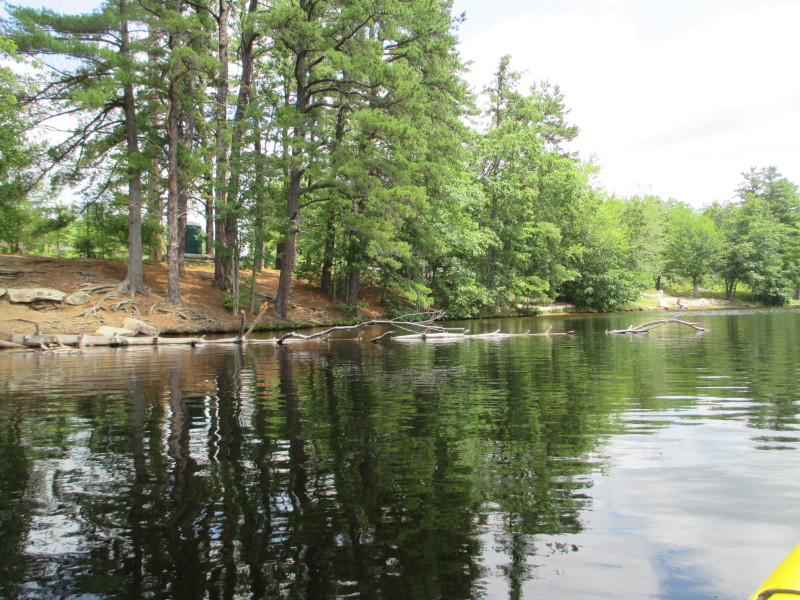
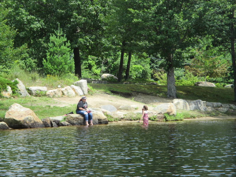
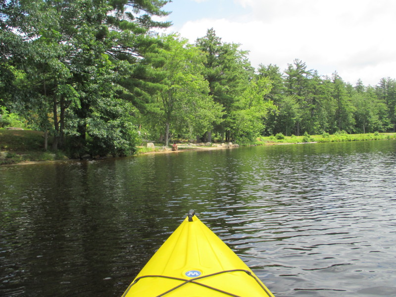
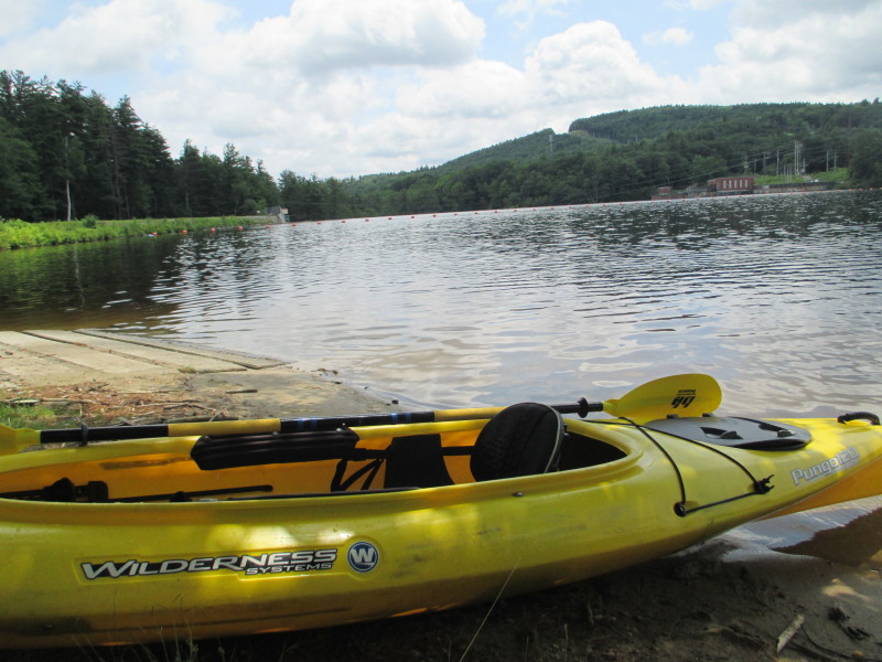 Landed. Paddle time is 54 minutes.
|
 I can see the bottom of Piscataquog River's Gregg Falls.
