 Kayaker

|


|
Download printer-friendly
PDF version that fits in one page: |

|
|
Other resources:
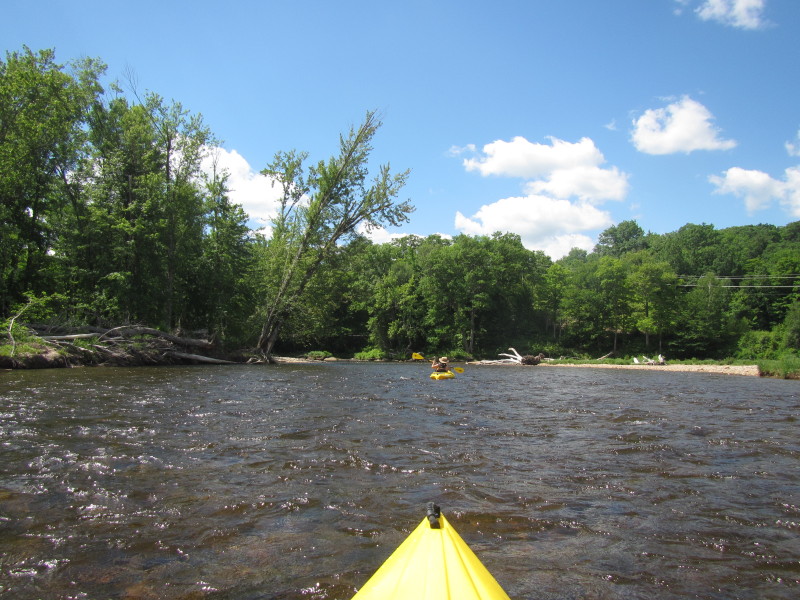
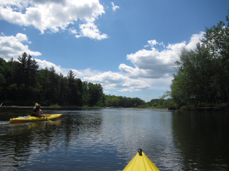
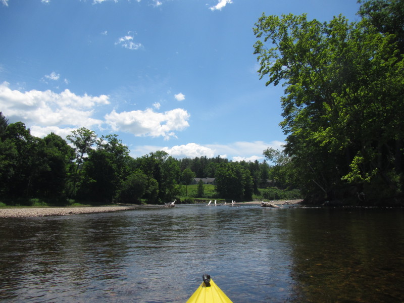
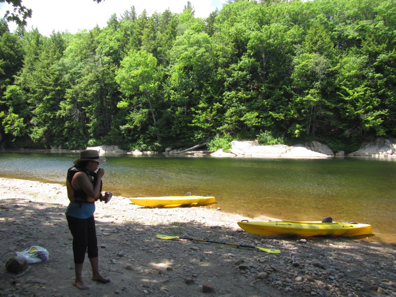
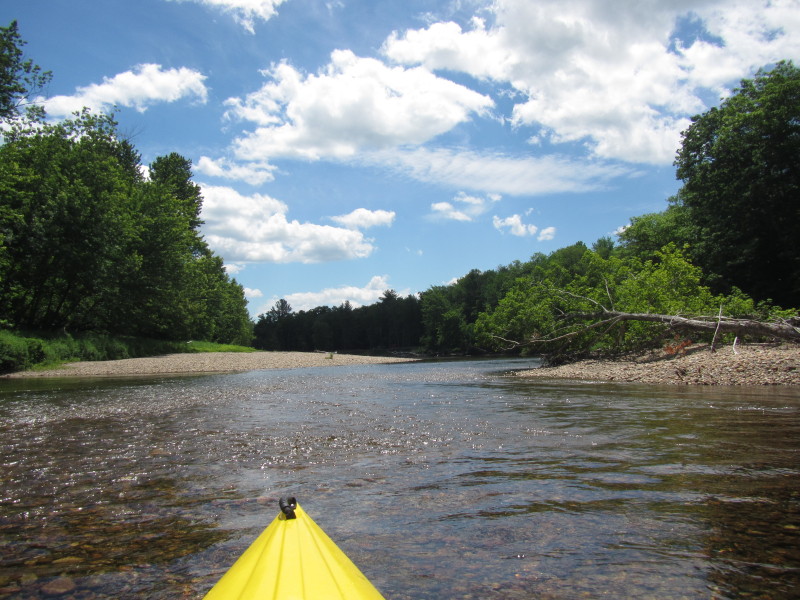
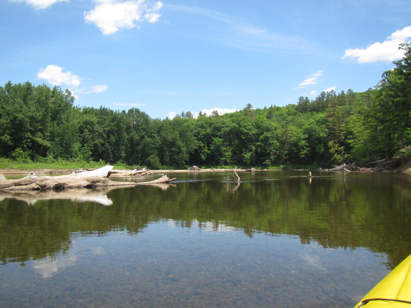
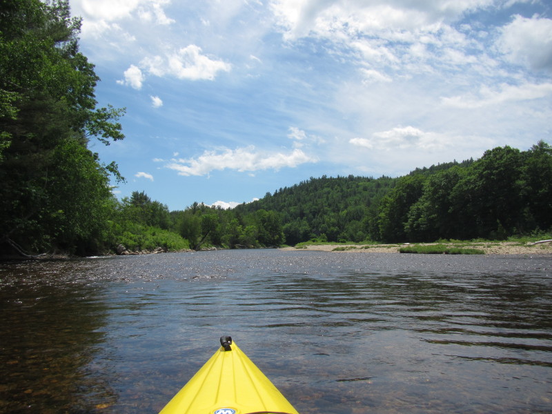
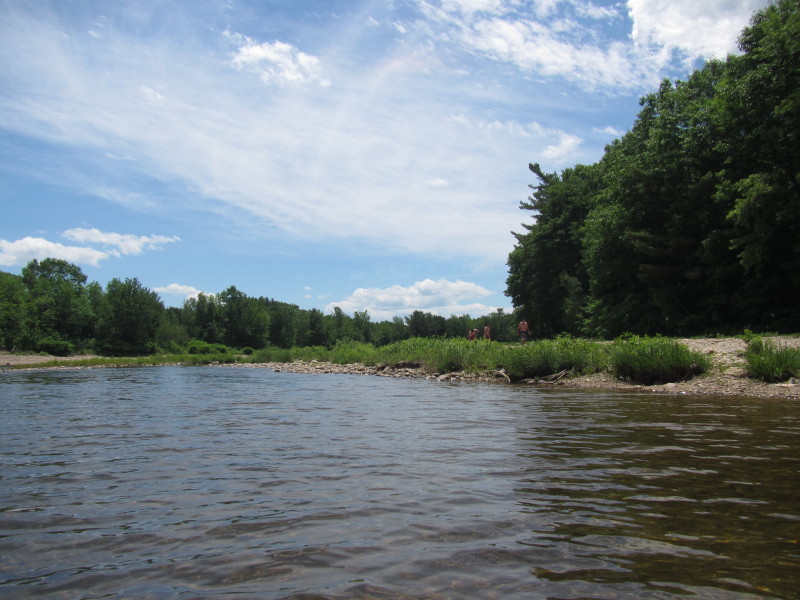
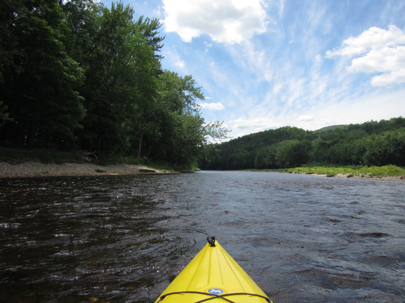
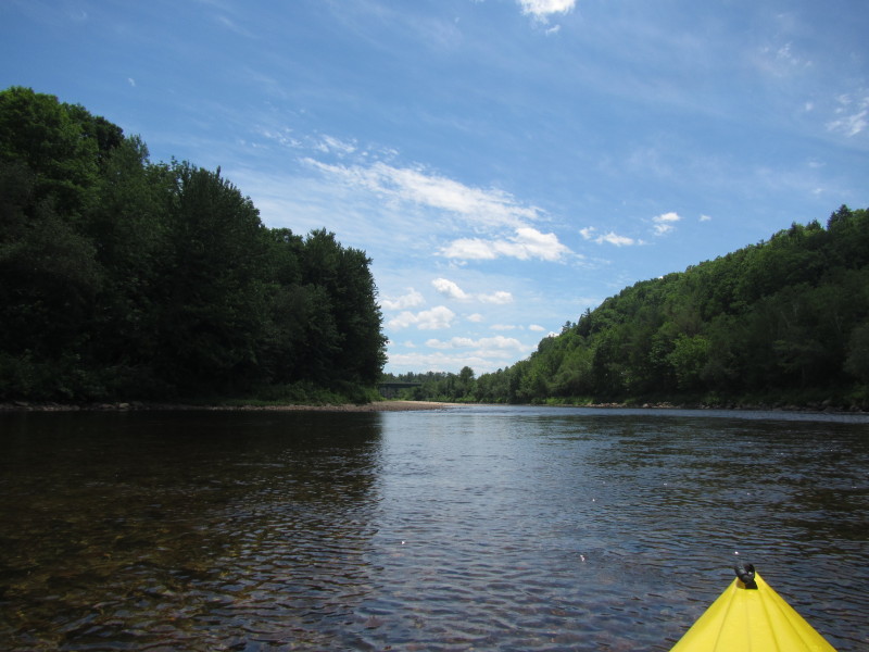
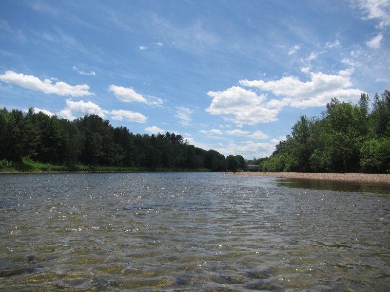
Ski Fanatics kayak rentals Wild Turkey Paddlers: Pemiwegasset River Trip Report Paddling.net: Pemigewasset River Trip Report 1 Wikipedia: Pemigewasset River All photos in this website are original and copyrighted. 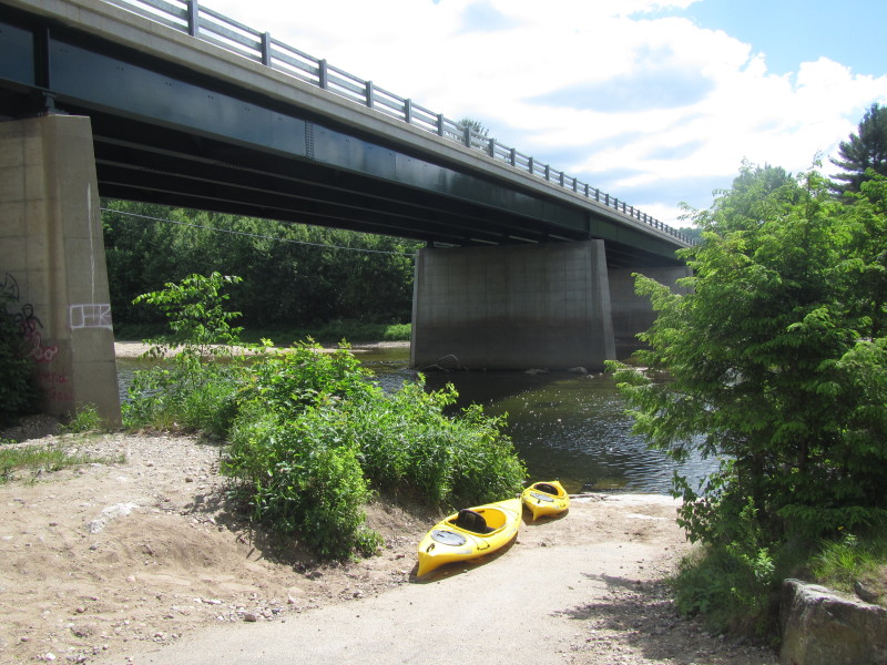 At the put in to Pemigewasset River at Robins Nest Road in Thornton NH.
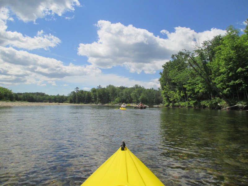
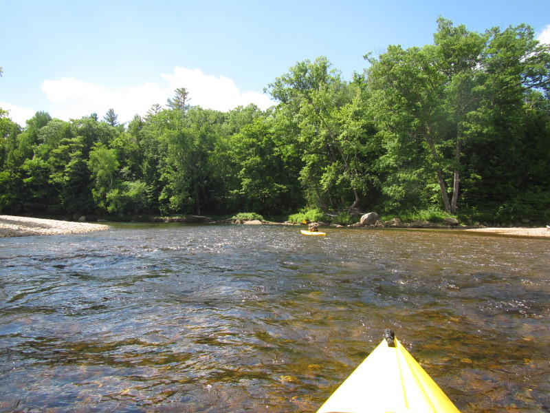
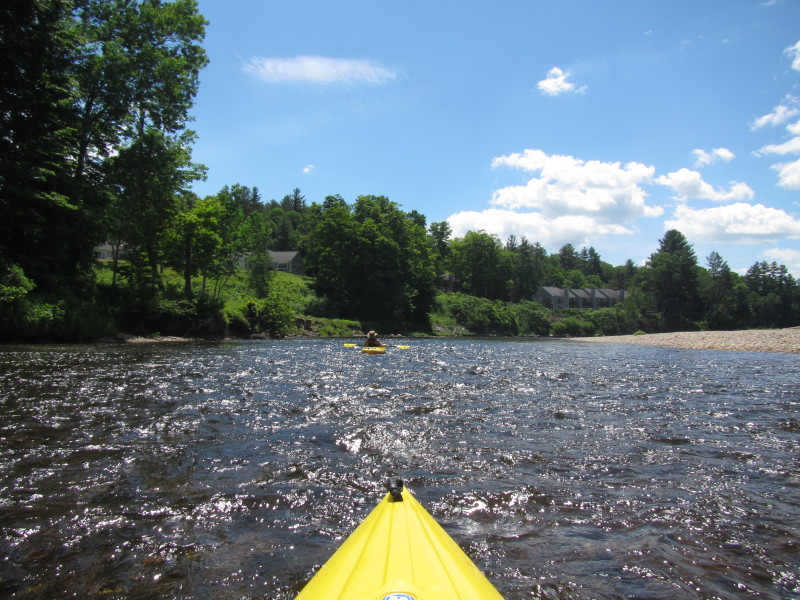
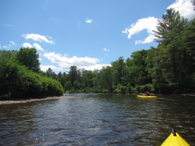
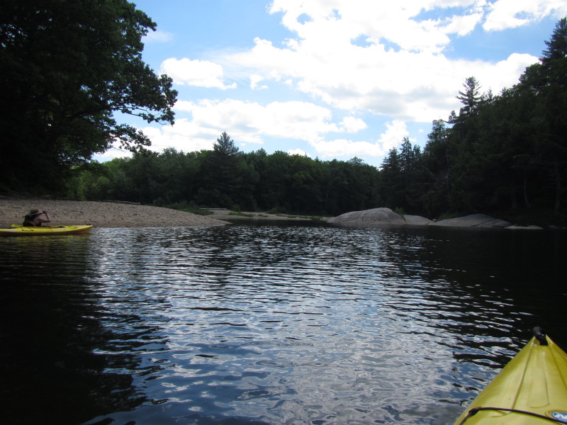
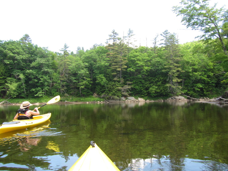
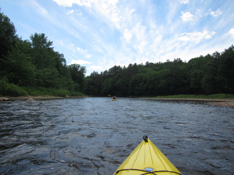
Under the Cross Road bridge. Trip date is June 2016. 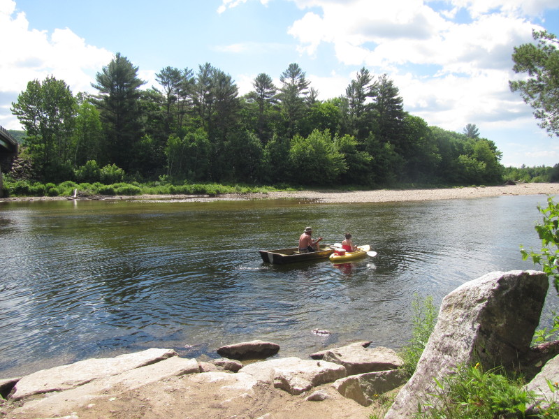 A couple of paddlers started ahead of us.
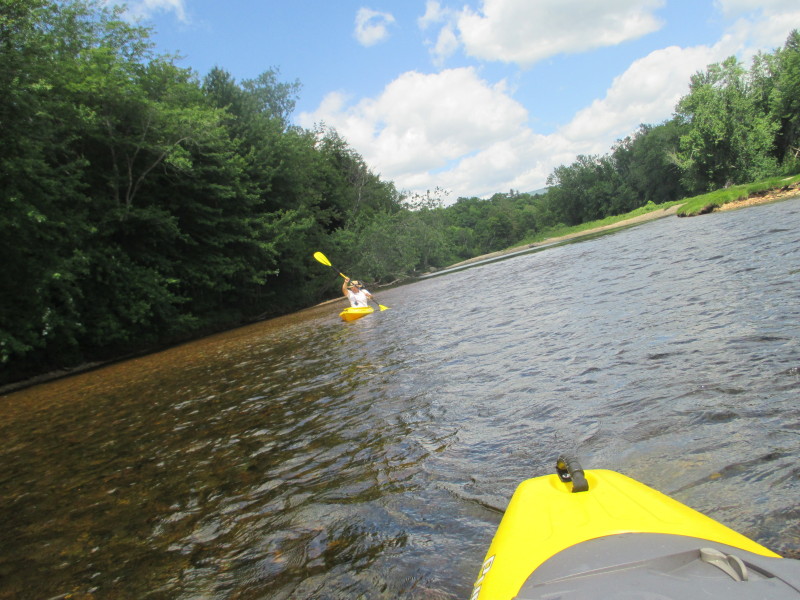
 The Boston Kayaker's wife just launched.
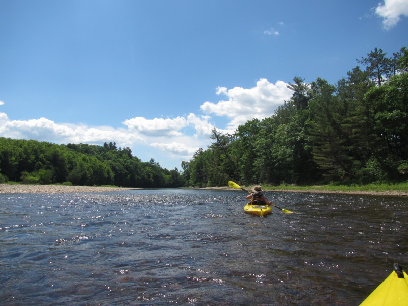
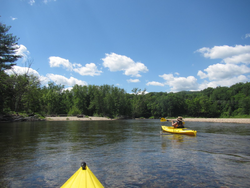
 The Boston Kayaker launching onto the Pemigewasset River under the Cross Road bridge.
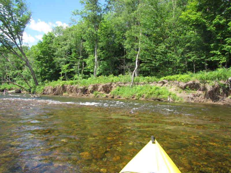
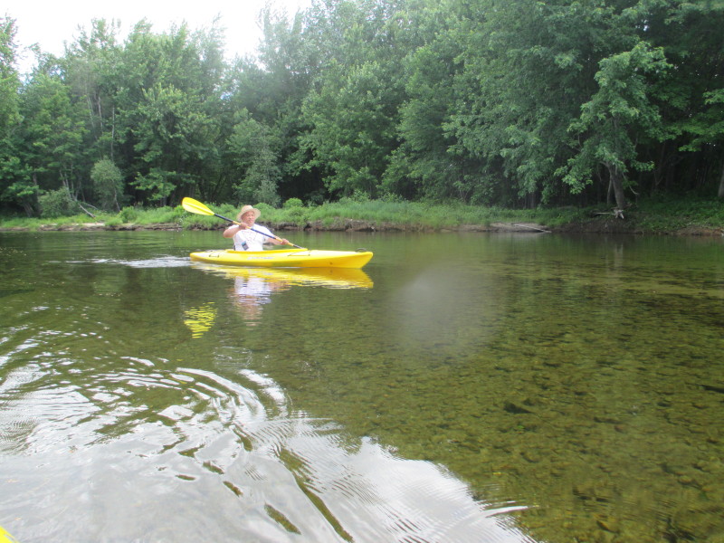
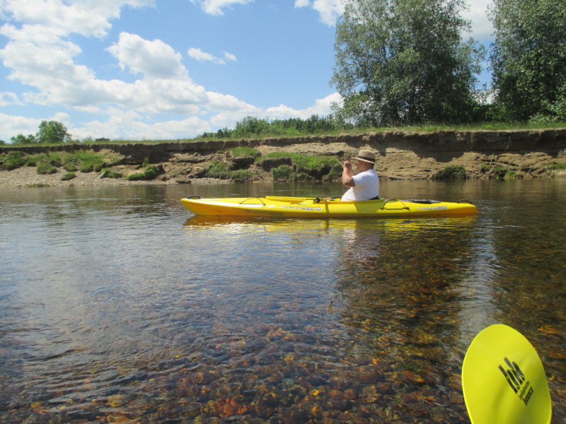
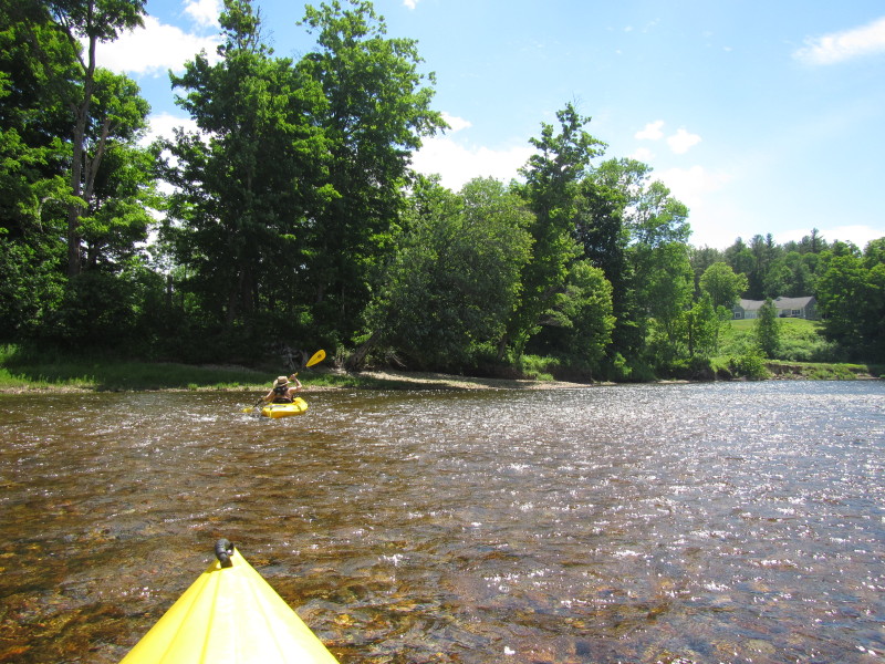
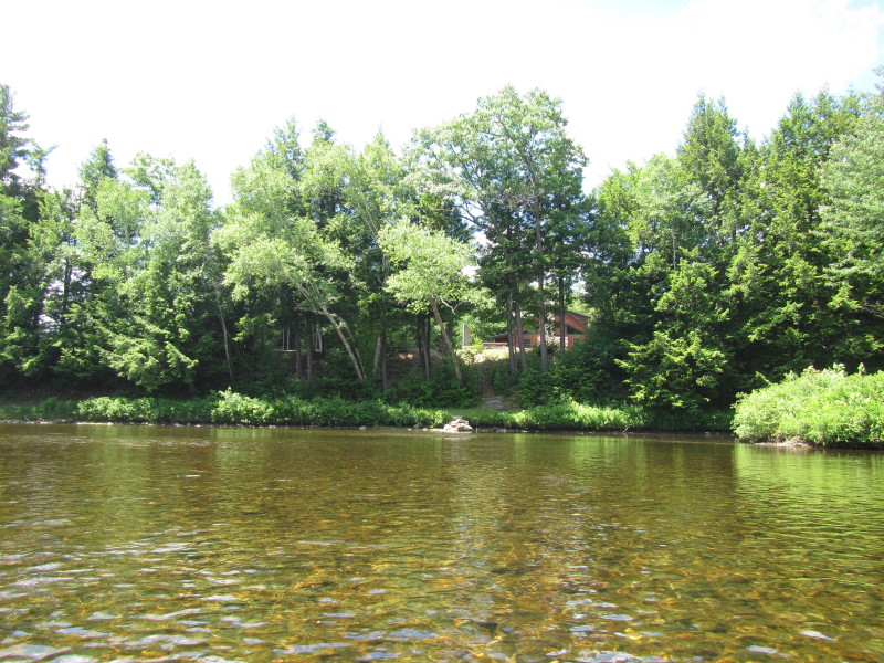
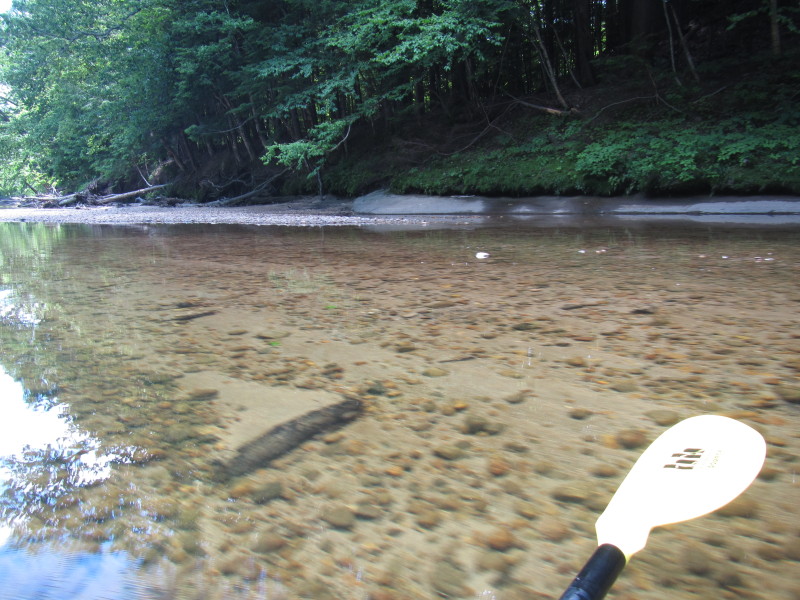
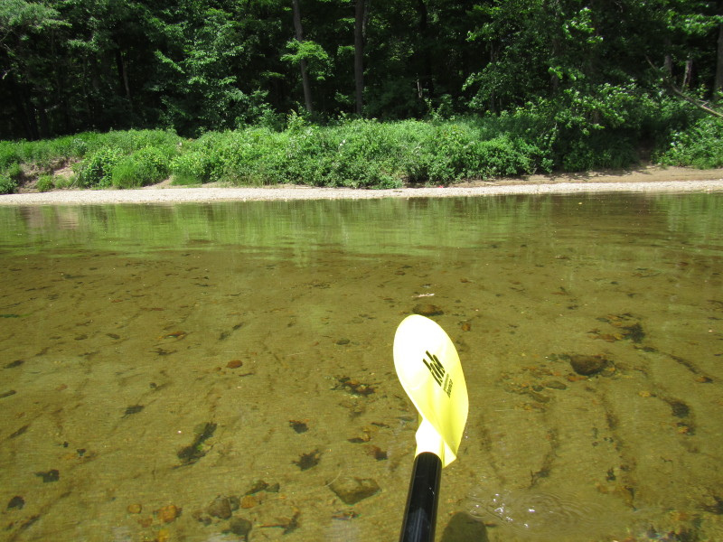
 Water is very clear and I can see thru this waist-deep water.

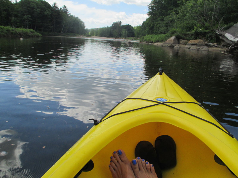 The Boston Kayaker's wife's nice pedicure.
 Another shallow spot.
 The wife pushing thru . . .
 Pushing the kayak on a shallow spot.
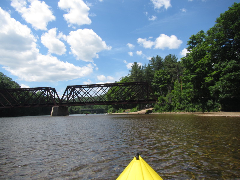
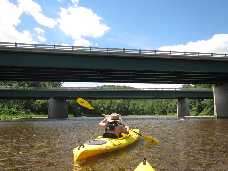
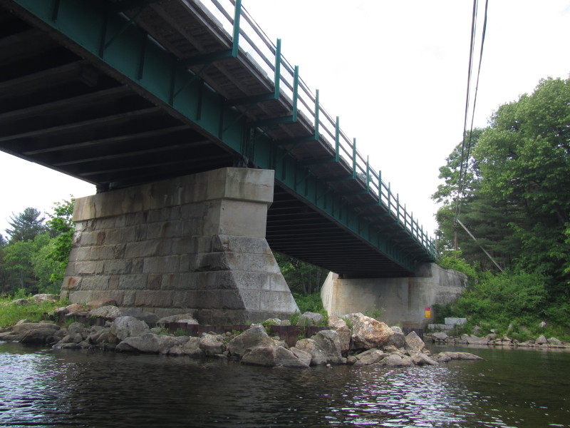
 Rail bridge.
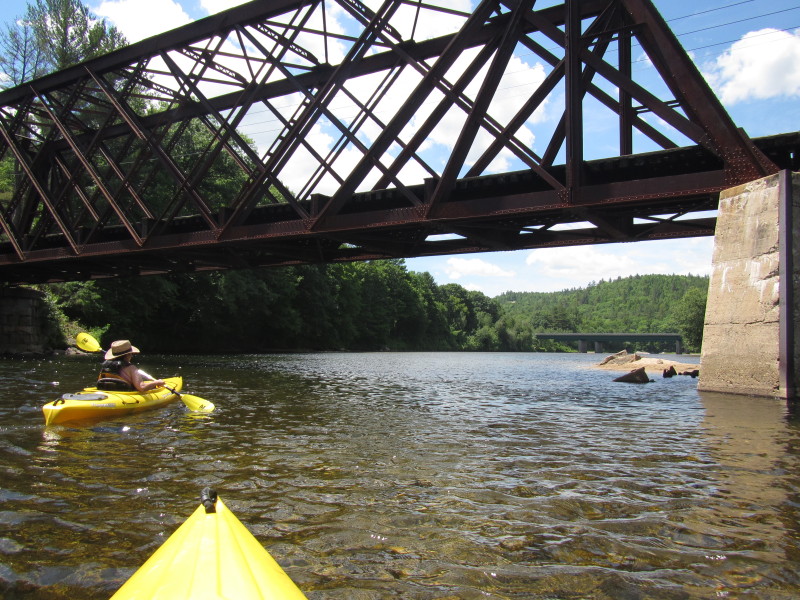
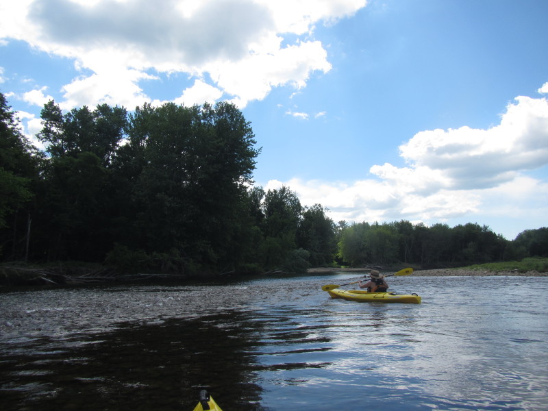
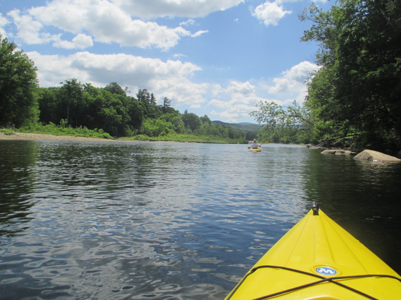
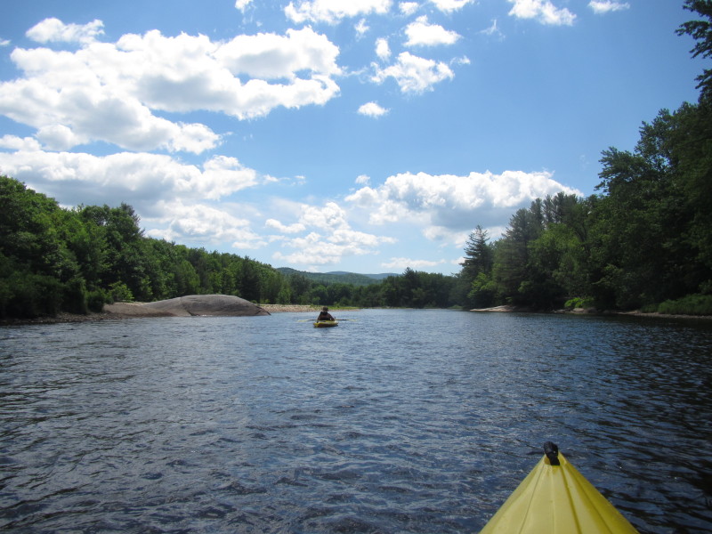
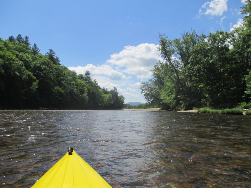
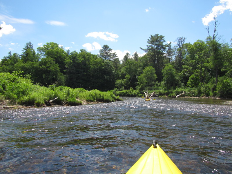
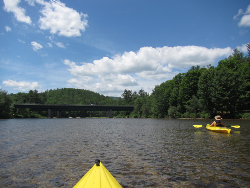
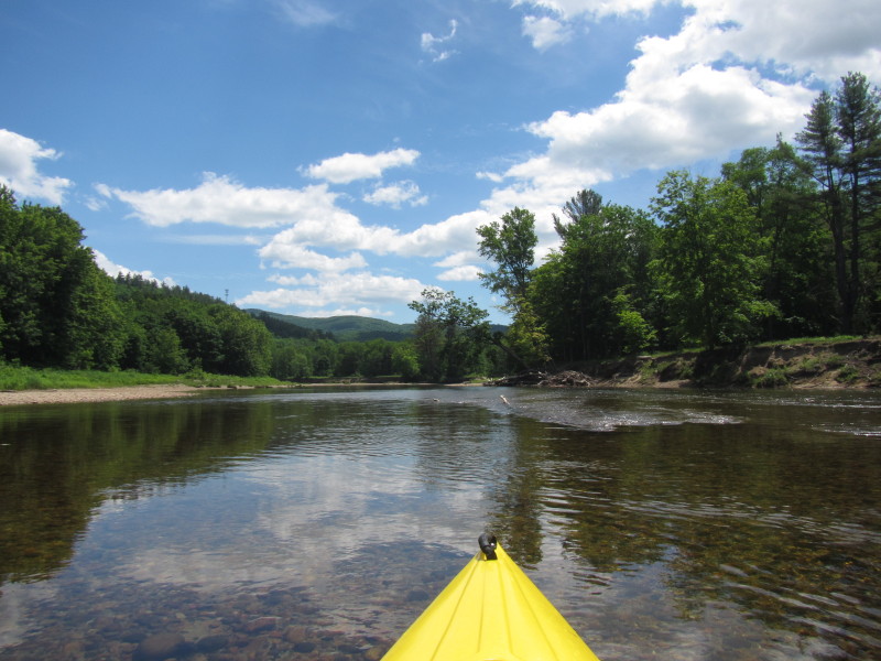
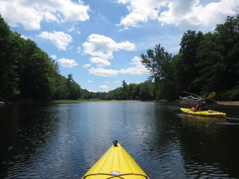
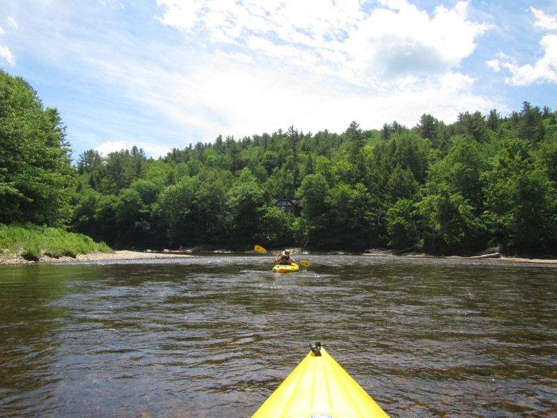
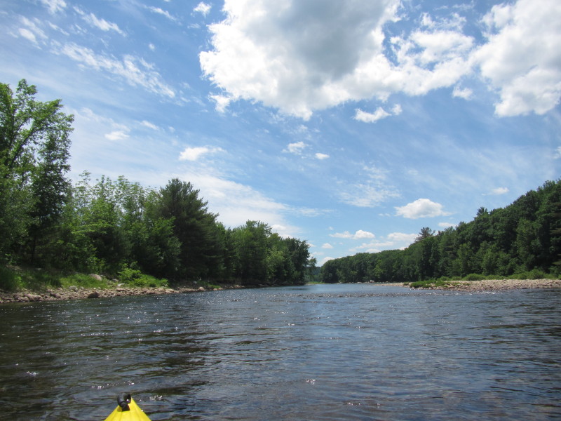
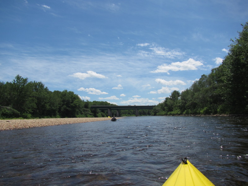
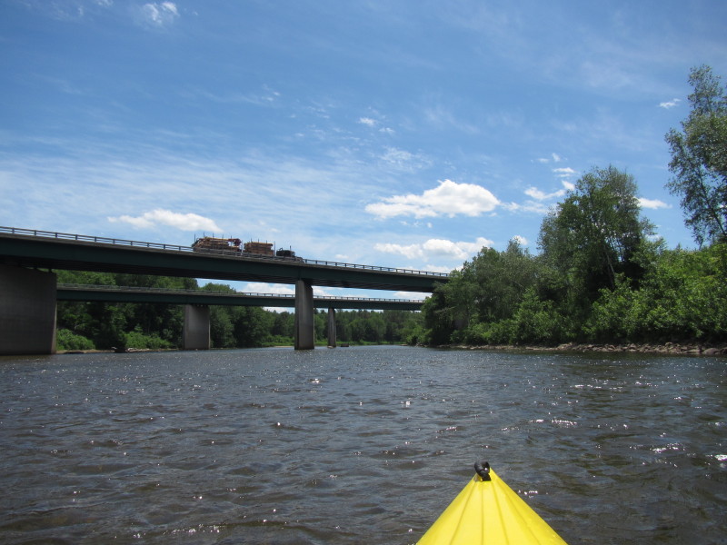
 Approaching the I-93 bridges.
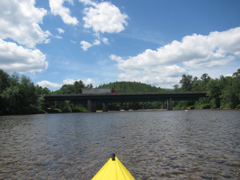
 Passing under the I-93 bridges over the Pemigewasset River from east side to west.
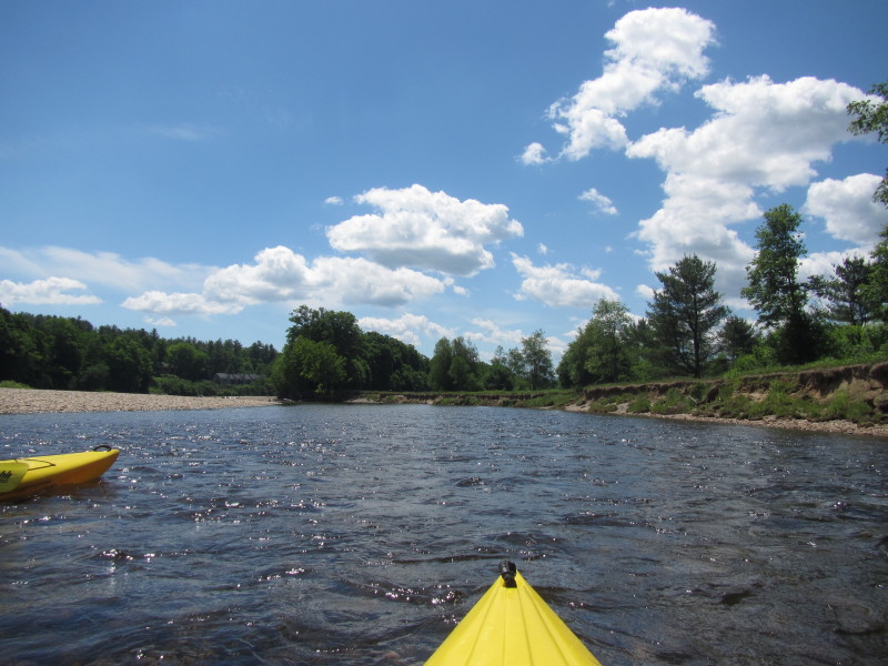
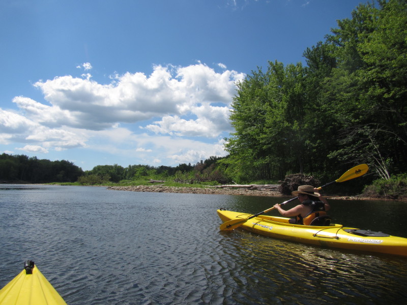
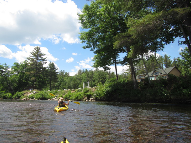
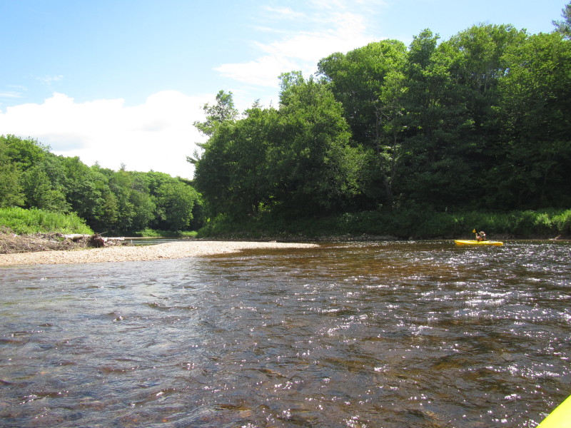
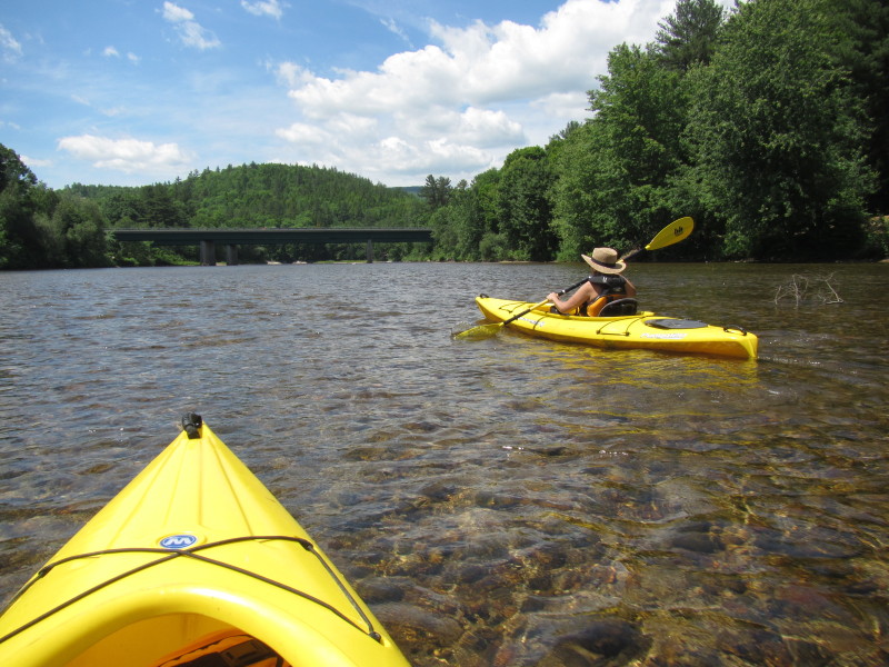
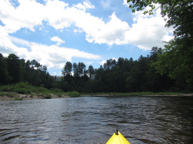
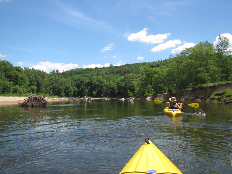
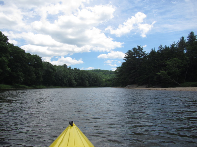
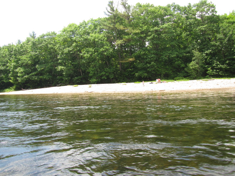
 Landed for a short break.
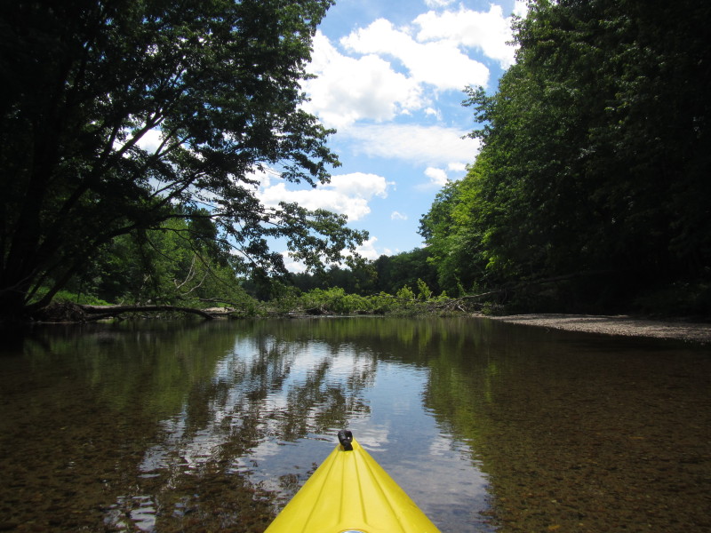
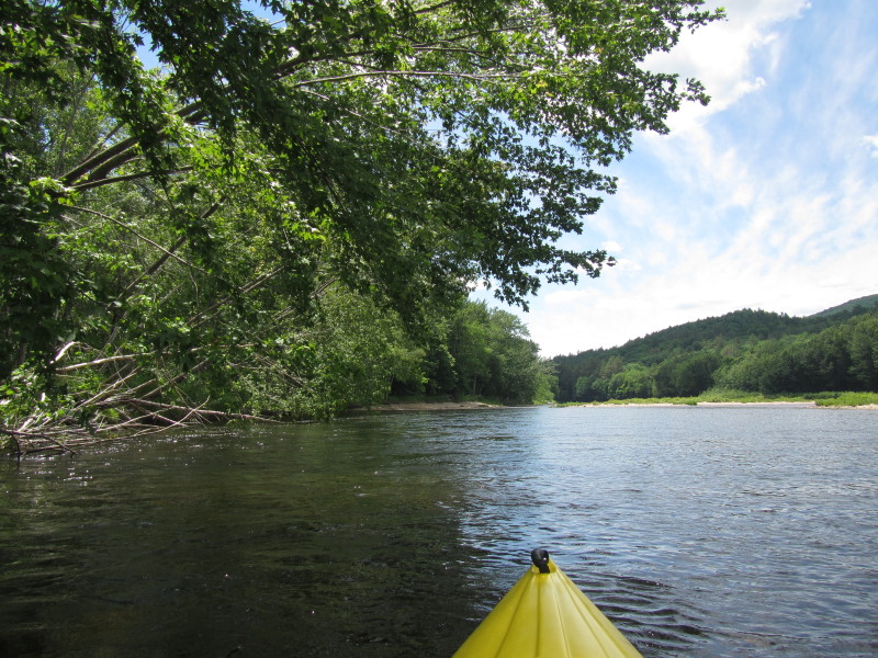
Back on Pemigewasset.
Landed for a short break.
Back on Pemigewasset.
 A family tubing on the Pemigewasset.
 Need to get out of the kayak on this spot . . .
 Tubers on Pemigewasset.

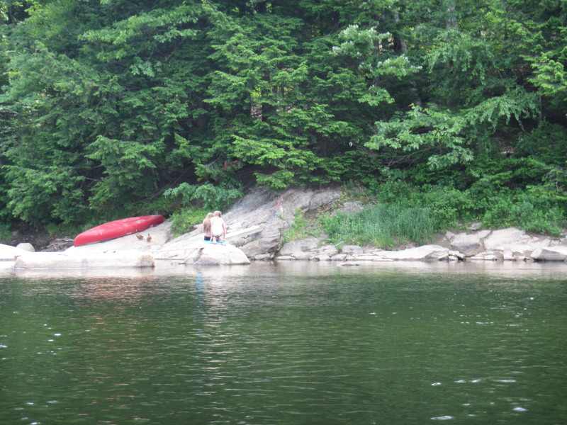
 Kids playing on the Pemigewasset River bank.

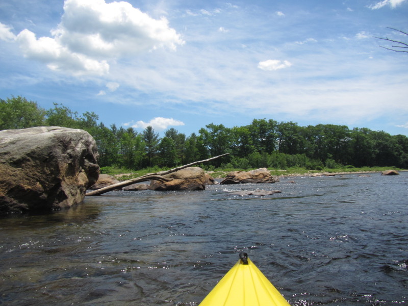
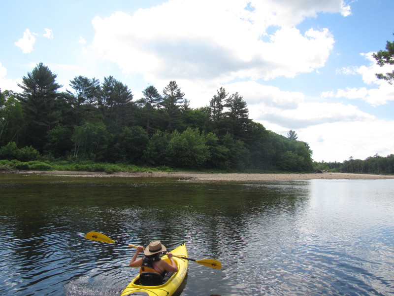
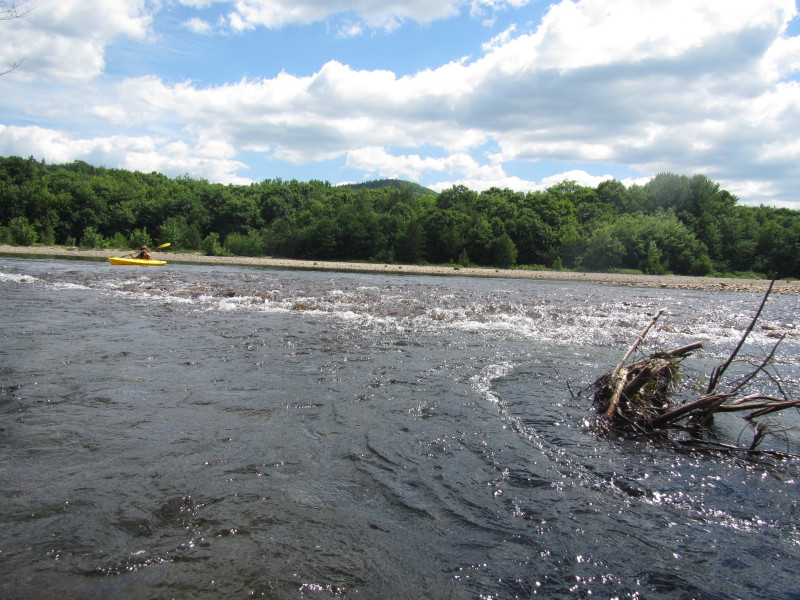
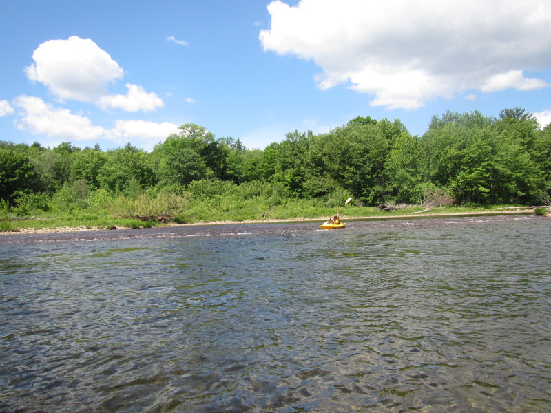
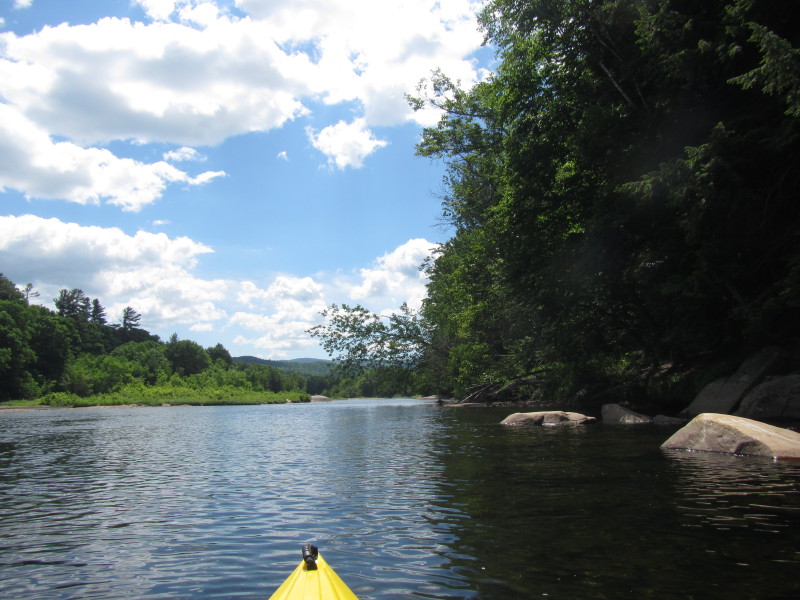
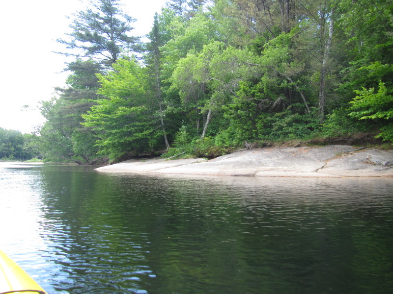
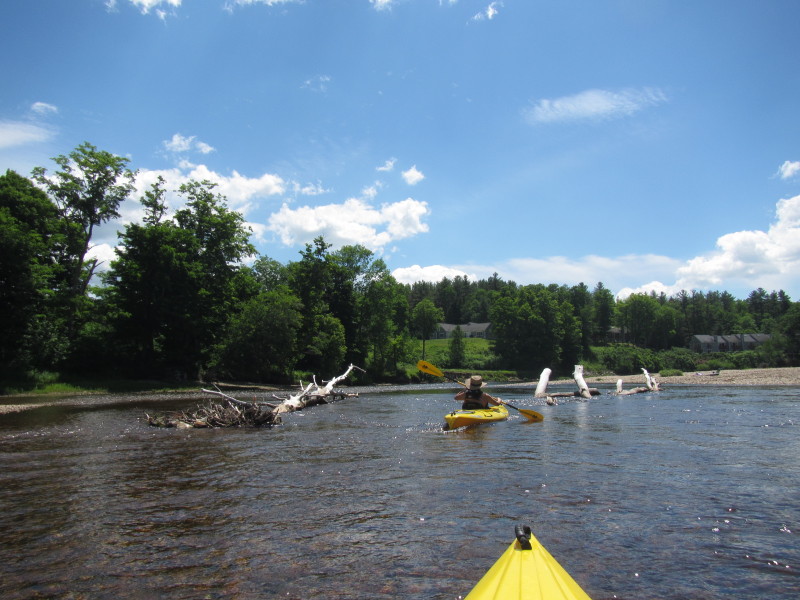
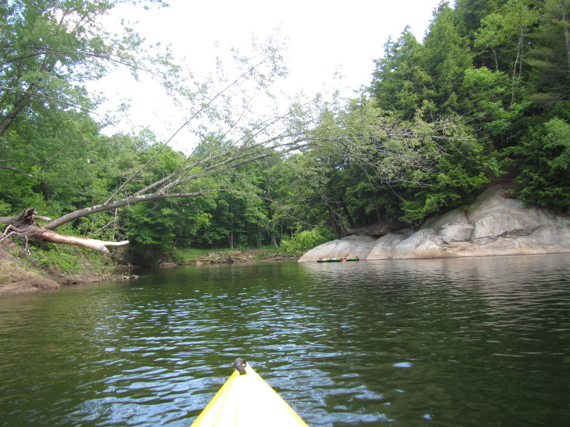
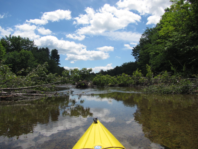
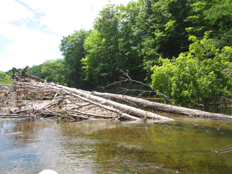
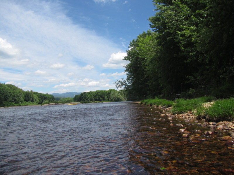
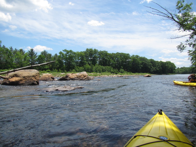 A rock garden on Pemigewasset.
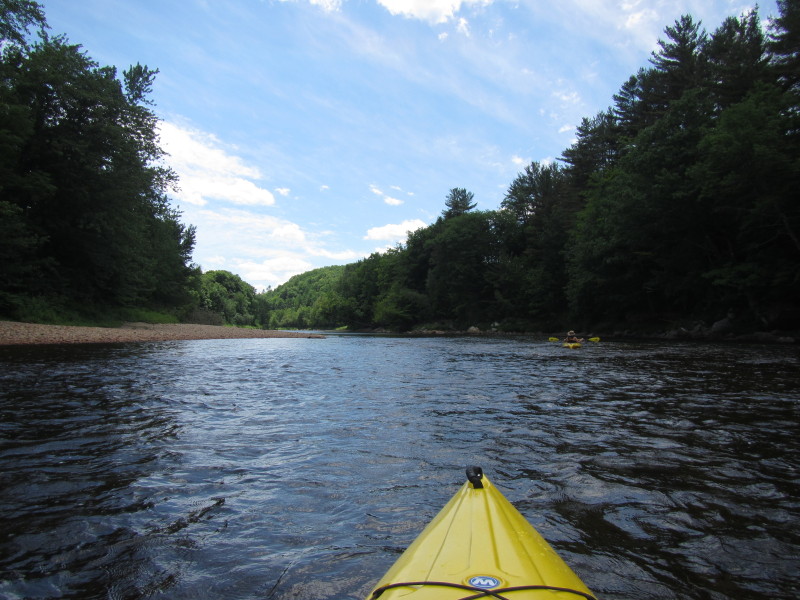
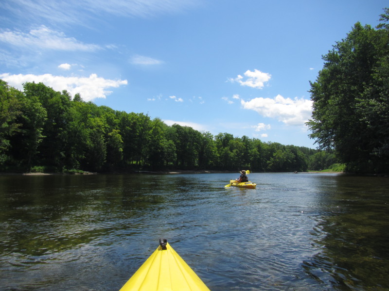
 Approaching the I-93 bridges.
 This kayaker paddling against the river flow will not get very far.
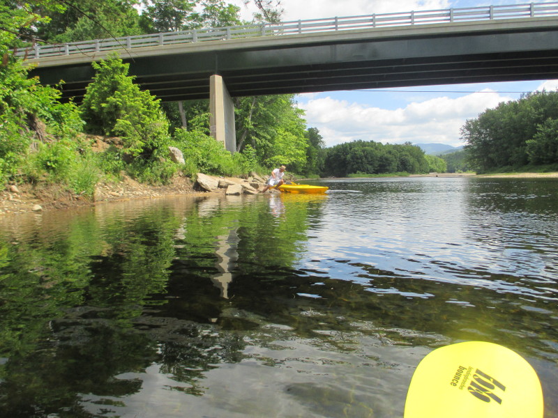
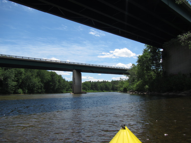 Crossing under the I-93 again, this time from west side to east side.
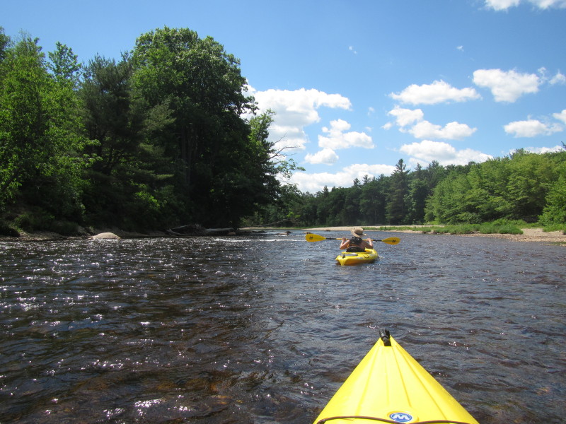
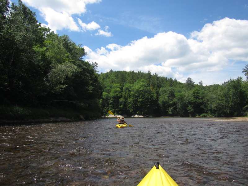
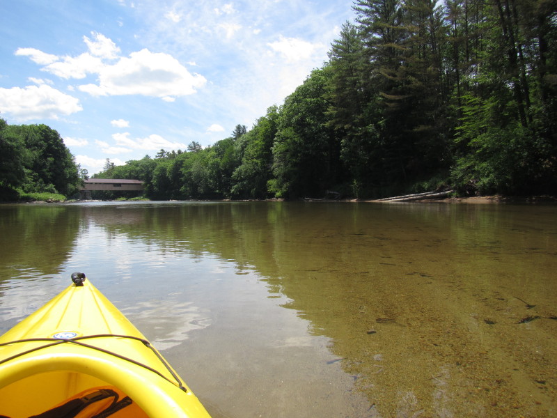
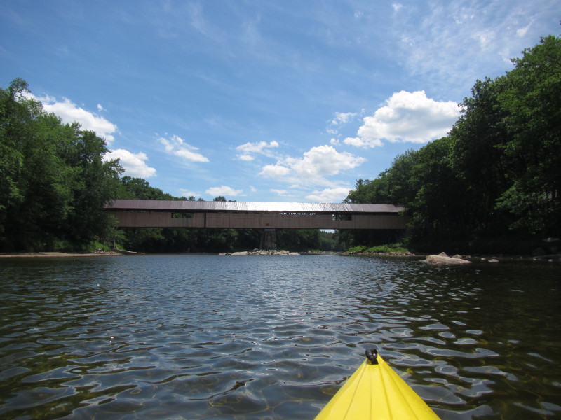
 Soon after crossing the I-93 bridges for the second time, river bends to the right and Blair Bridge comes to view.
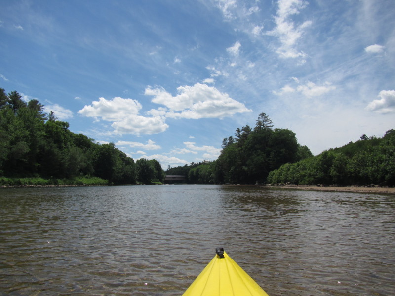
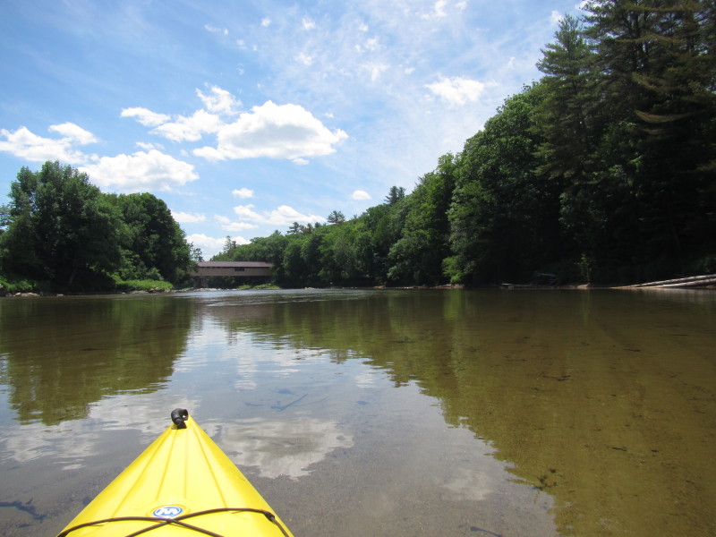 Approaching Blair Bridge.
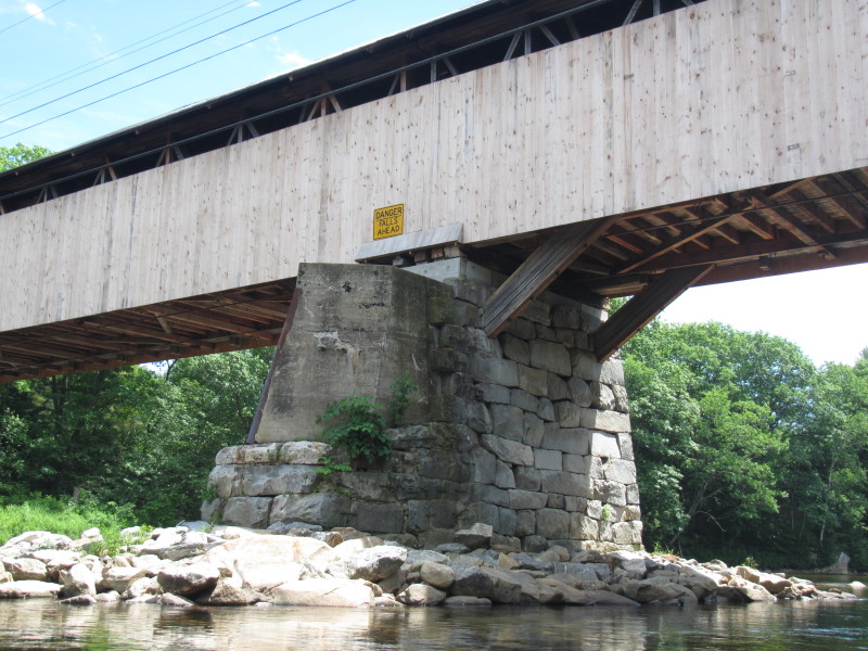
 Warning on the Blair Bridge: "Danger Falls Ahead"
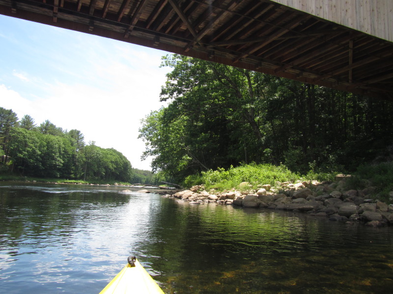 Take out is on the right bank after the covered bridge.
Landed. Paddle time is 2 hours and 50 minutes.
Take out is on the right bank after the covered bridge.
Landed. Paddle time is 2 hours and 50 minutes.
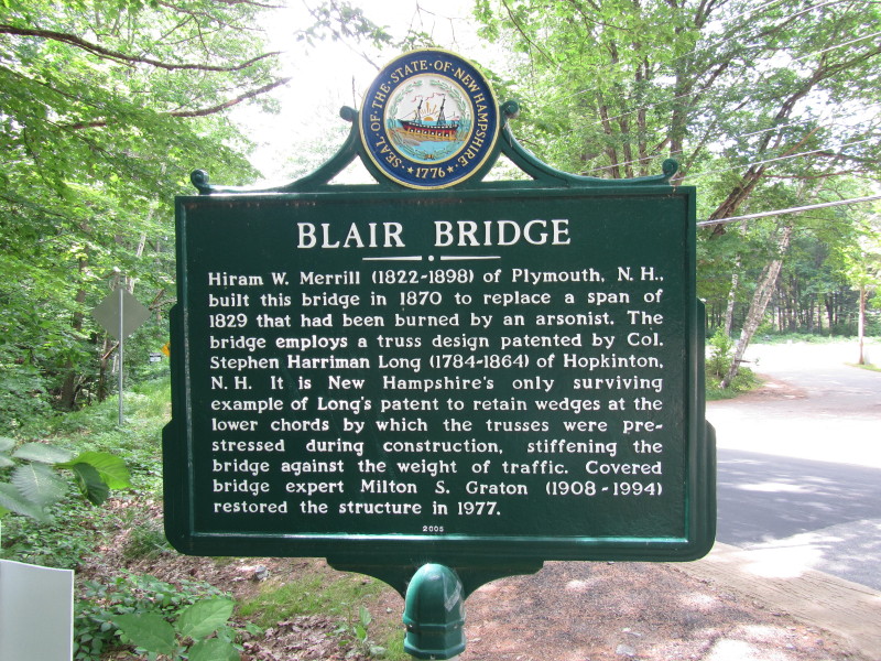 The marker on Blair Bridge reads:
BLAIR BRIDGE Hiram W. Merrill (1822-1898) of Plymouth, N.N. built this bridge to replace a span of 1829 that had been burned by an arsonist. The bridge employs a truss design patented by Col. Stephen Harriman Long (1784-1864) of Hopkinton, N.H. It is New Hampshire's only surviving example of Long's patent to retain wedges at the lower chords by which trusses were pre-stressed during construction, stiffening the bridge agains the weight of traffic. Covered bridge expert Milton S. Graton (1908-1994) restored the structure in 1977. 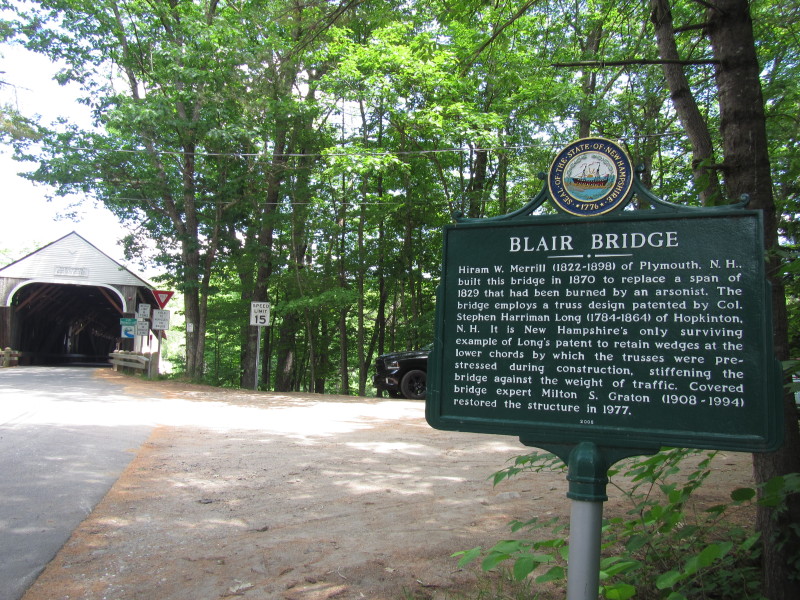
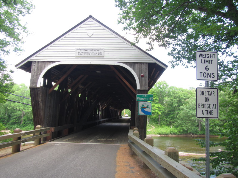 Blair Bridge over the Pemigewasset River.
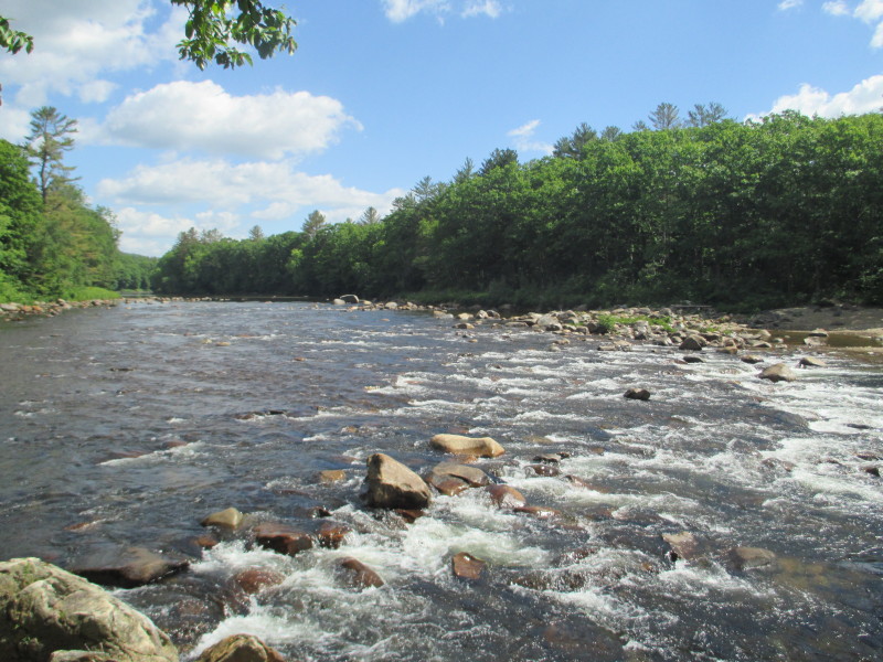 The Livermore Falls downstream of Blair Bridge.
|