|
Download printer-friendly
PDF version that fits in one page: |
Other resources:
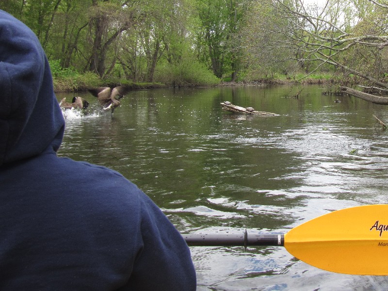
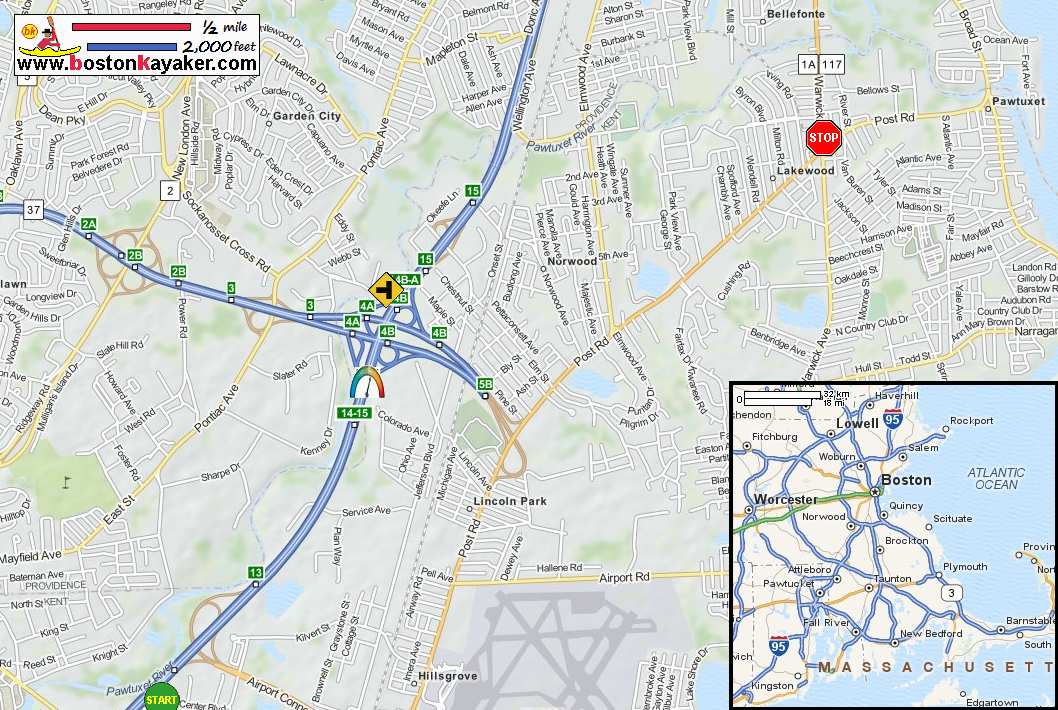
Explore RI's Blueways and Greenways: Lower Pawtuxet River Map and Paddling Guide Explore RI's Blueways and Greenways: Lower Pawtuxet River Map and Paddling Guide (cached copy) Explore RI's Blueways and Greenways: Howard Conservation Area Canoe Launch Explore RI's Blueways and Greenways: Rhodes on the Pawtuxet Pawtuxet River Watershed Pawtuxet River Authority & Watershed Council Roger Williams Zoo All photos in this website are original and copyrighted. At the Howard Conservation Area on Knight Street in Warwick RI. Trip date May 2016. The Boston Kayaker's son. Steps to the put in to Pawtuxet River. Today, we will paddle on a tandem kayak with my son. The Boston Kayaker and son just launched at Pawtuxed River from Knight Street in Warwick RI. The sun and clouds would come and go. The I-95 bridges over the Pawtuxet River. Right after passing the I-95 bridges, there is this tree that is mostly blocking the river and constricting the flow into the middle . . . Going witht the river flow and taking the 1-foot-drop-or-so drop! Looking back at the small drop . . . Turtles on Pawtuxet River. Passing under the I-95 (again!). Rail bridge. We just got past the rail bridge when this AmTrak train whizzed by and I just pointed my camera back and took this shot. Route 1 / Elmwood Avenue bridge. Paddling under the Route 1 bridge on the Pawtuxet. A defunct railbridge. Soon after, we are now under the Route 1A bridge. Take out is on left. Landed. Total paddle time was 1 hour and 20 minutes. The Boston Kayaker after taking out from Pawtuxet River. The takeout is just in front of this state depot. What is seen here is the full extent of Dartmoor Avenue. The takeout is at Dartmoor Avenue off Route 1A / Warwick Avenue in Providence RI. |