 Kayaker

|


|
Download printer-friendly
PDF version that fits in one page: |

|
|
Other resources:
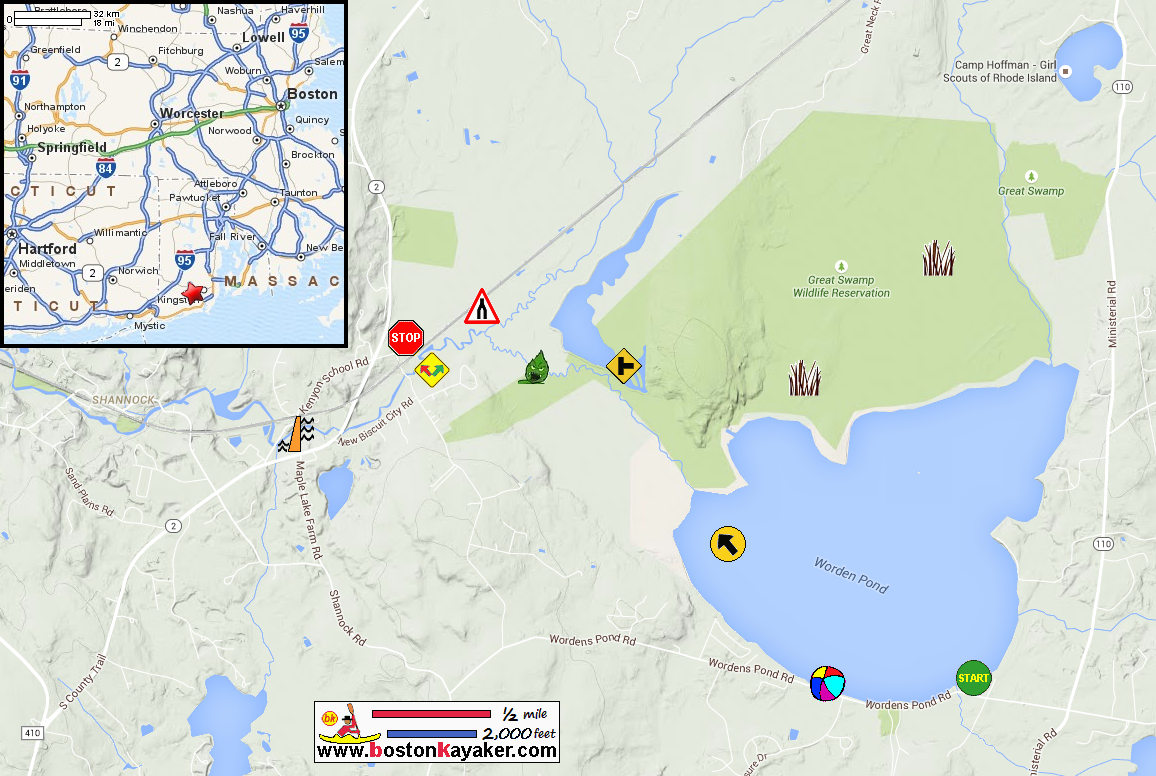
Jim Cole's River Trip Explore RI's Blueways and Greenways: Worden Pond Explore RI's Blueways and Greenways: Biscuit City Landing Wood-Pawtucket Watershed Association All photos in this website are original and copyrighted. 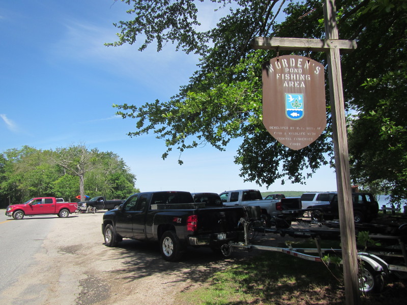 At Worden's Pond launch at Worden's Pond Road in South Kingston RI.
Trip date is June 2015. 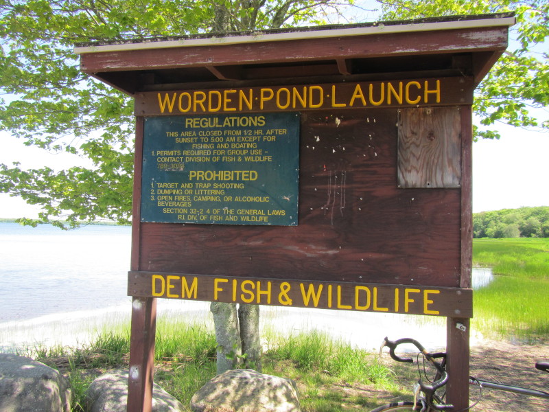
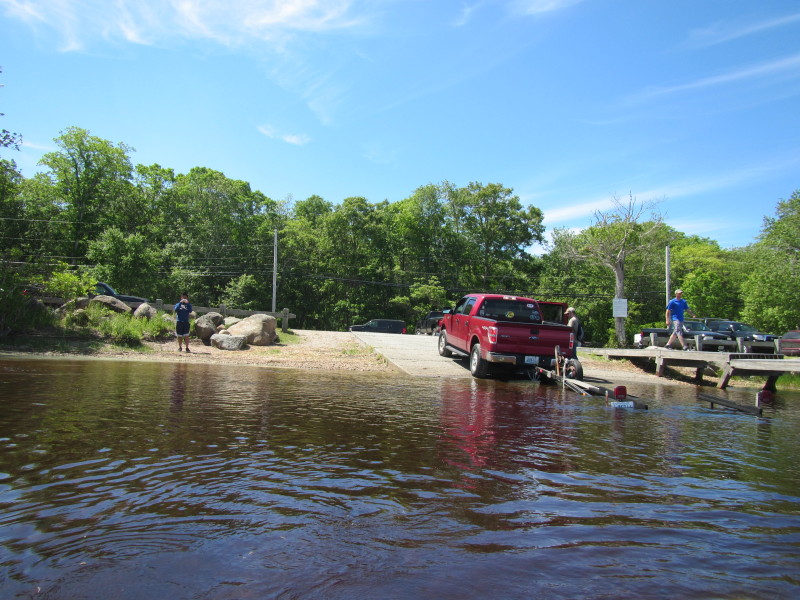
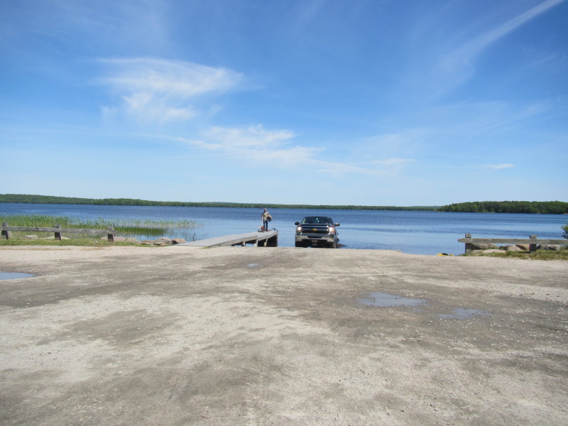 The boat ramp to Worden's Pond.
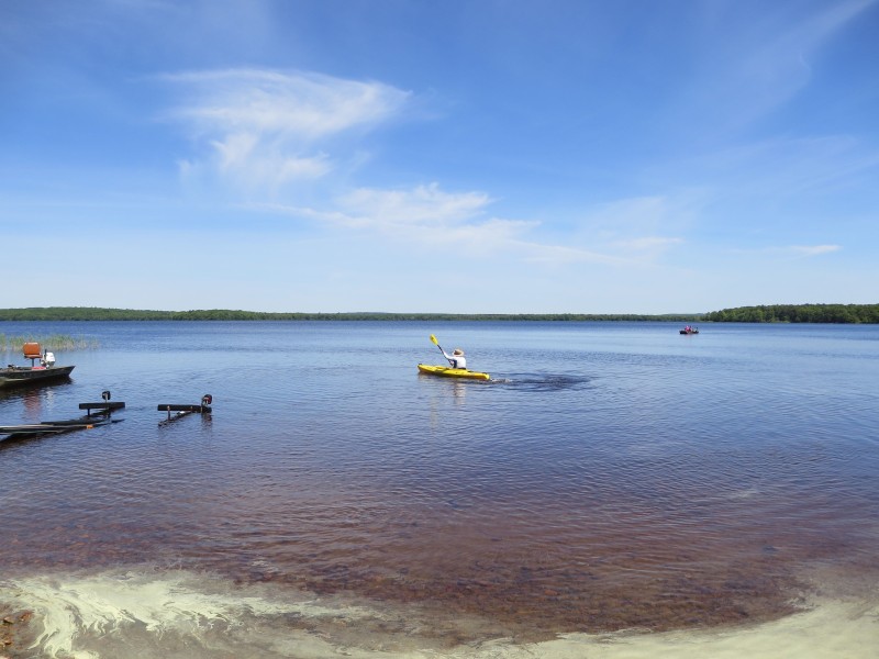
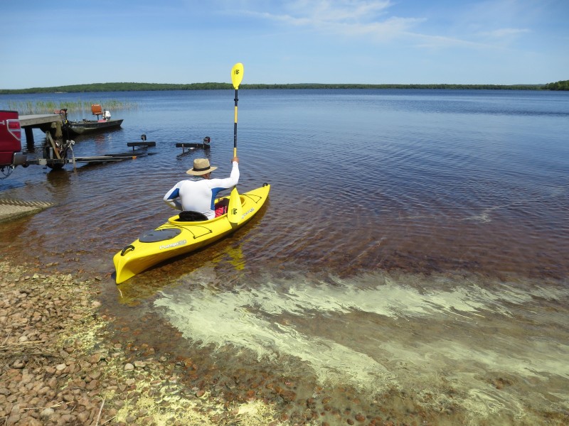 The Boston Kayaker launching into Worden's Pond enroute to Pawcatuck River.
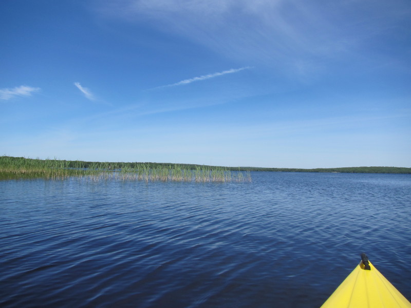
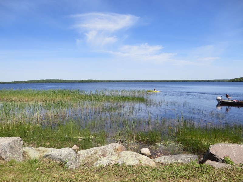
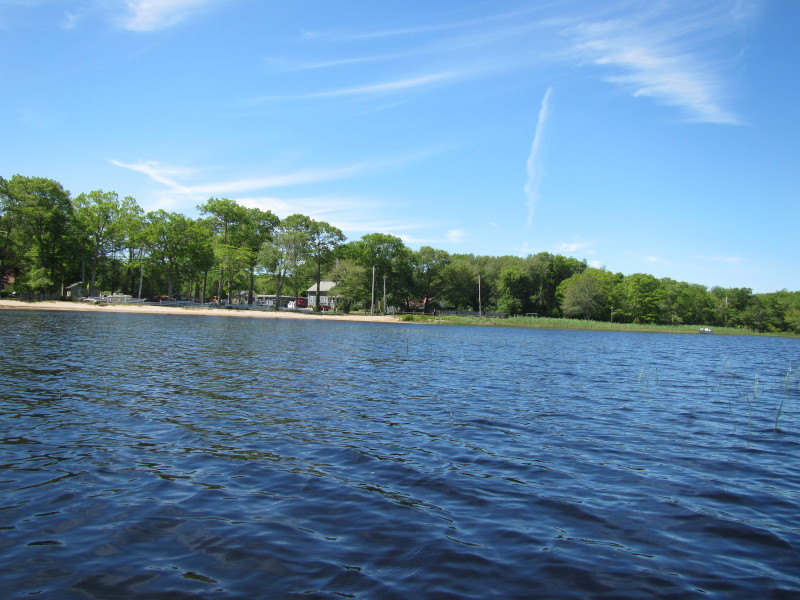
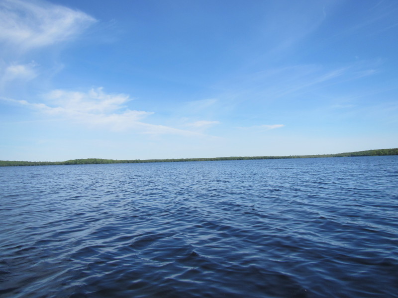
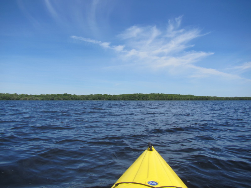
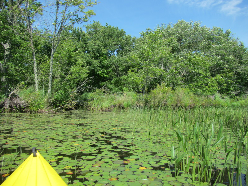
 Just launched and looking north at Worden's Pond.
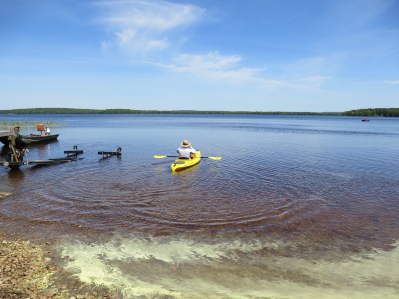
 That is the Boston Kayaker's son taking pictures beside the Worden's Pond ramp.
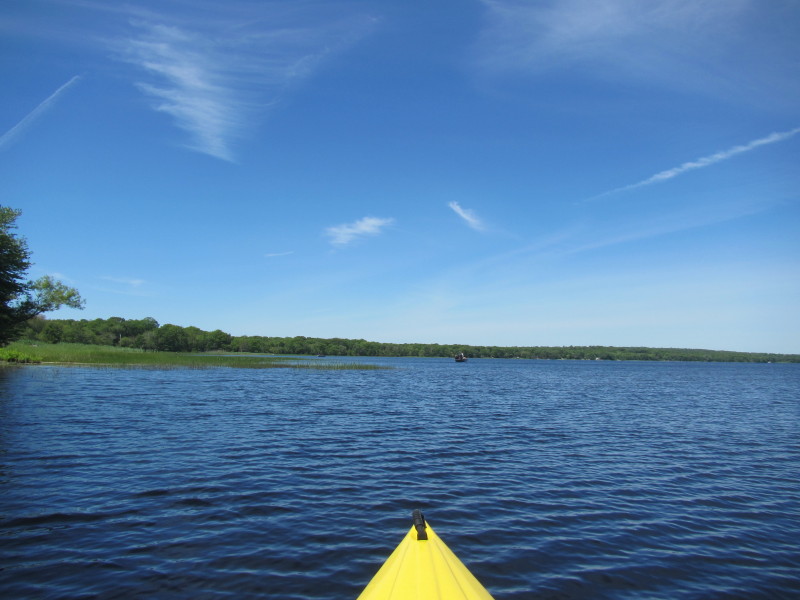
 Paddling to the left westwards.
 Will follow the shoreline on my left.
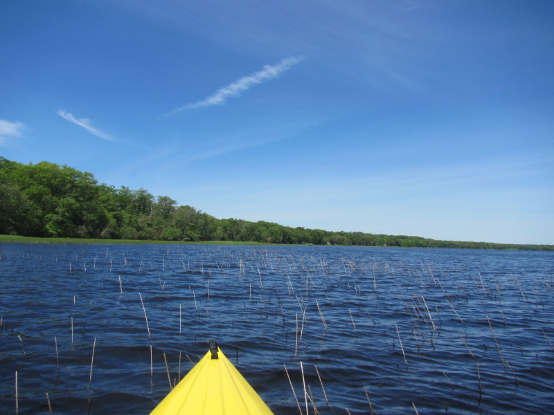
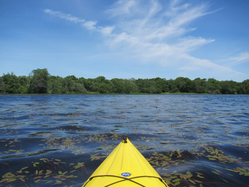
 Approaching the public beach . . .
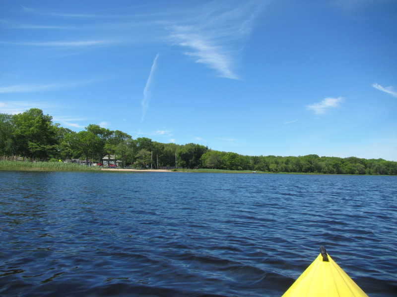
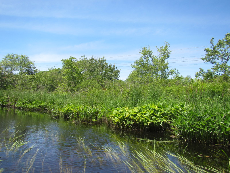
 The public beach and recreation area on Worden's Pond just west of the launch.
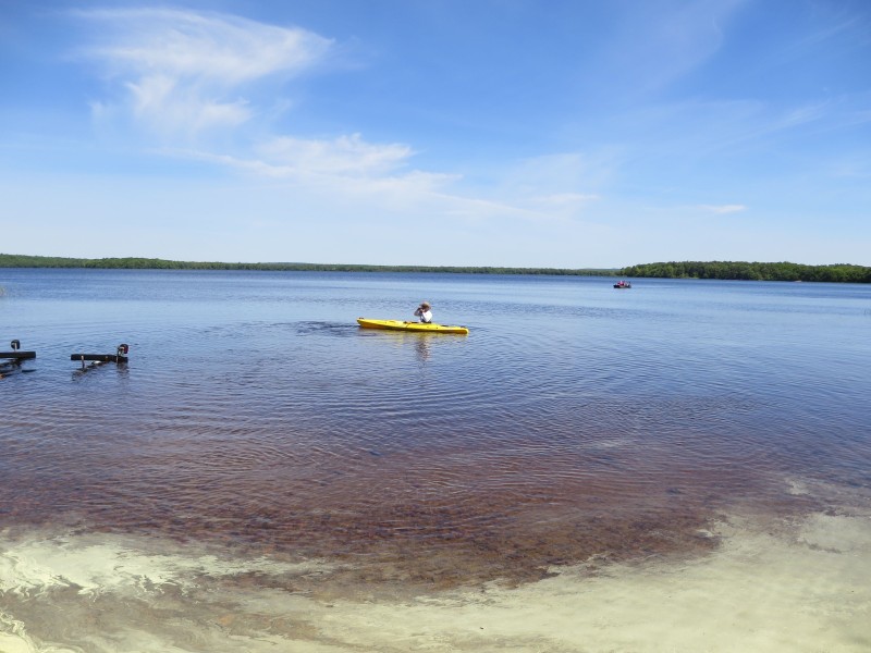
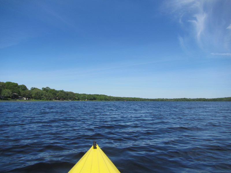
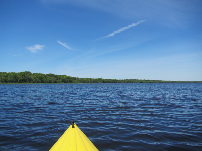 Continuing my westward paddle.
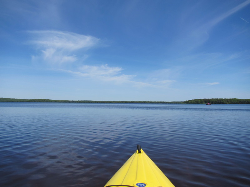
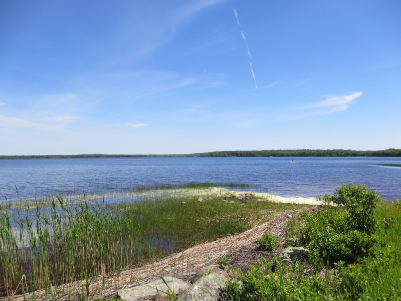
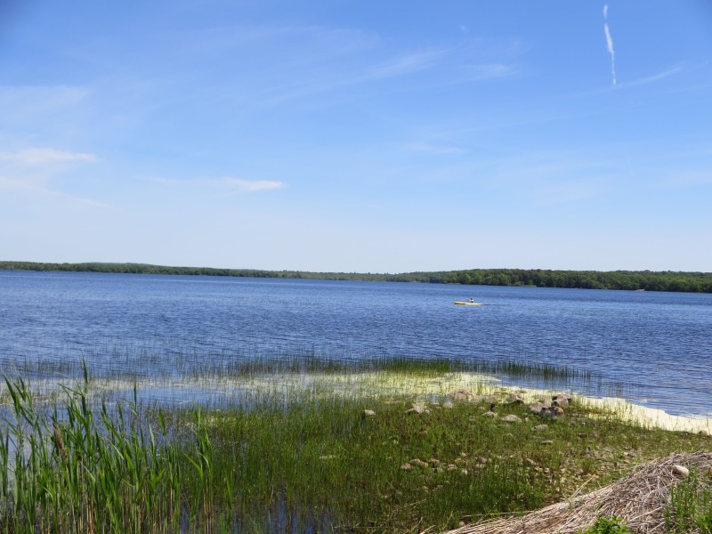
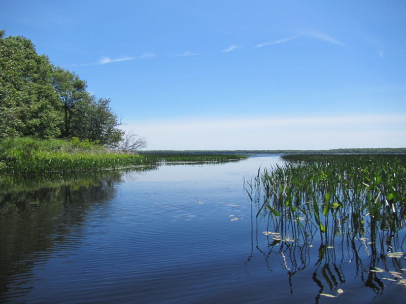
 Looking to my right (north), the rest of Worden Pond.
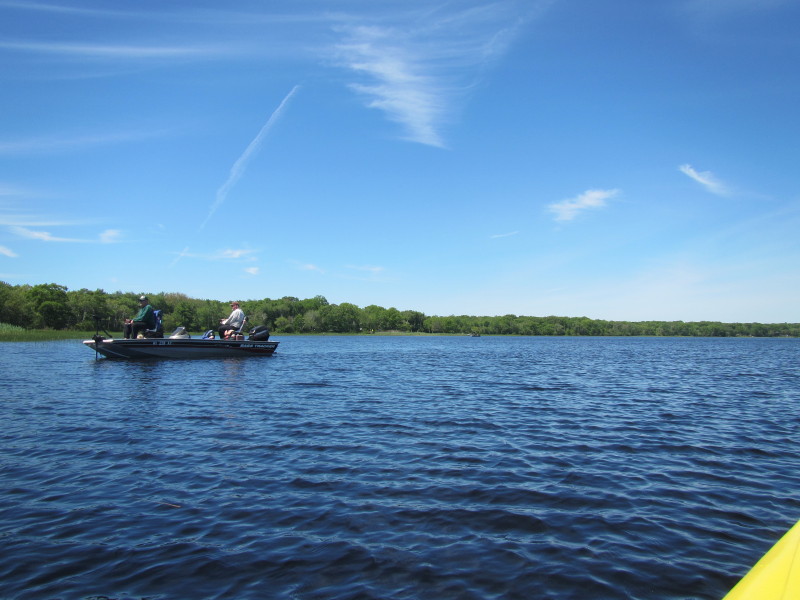
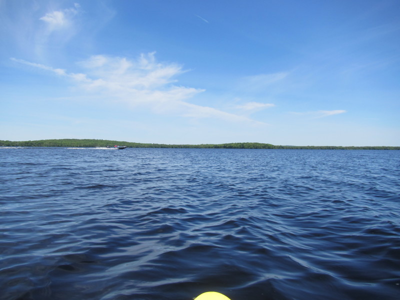 A speeding boat on Worden Pond.
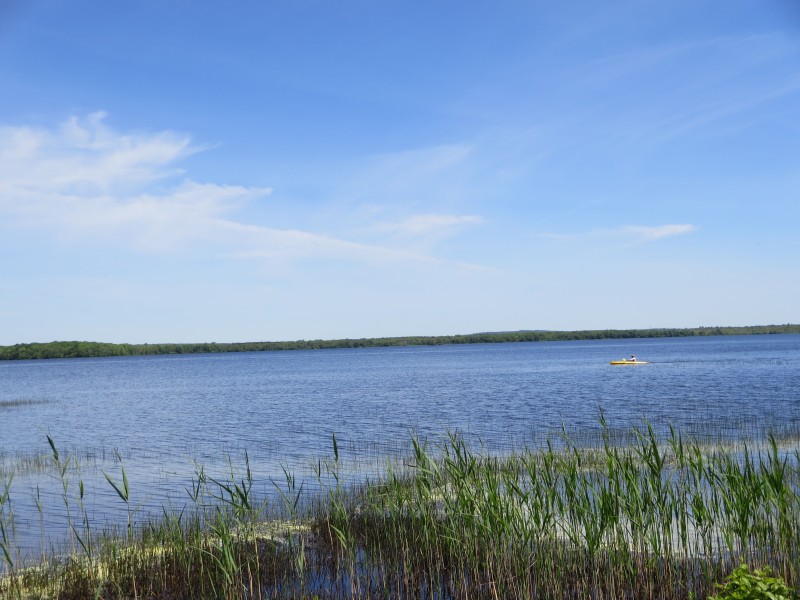
 Getting closer to the western shore.
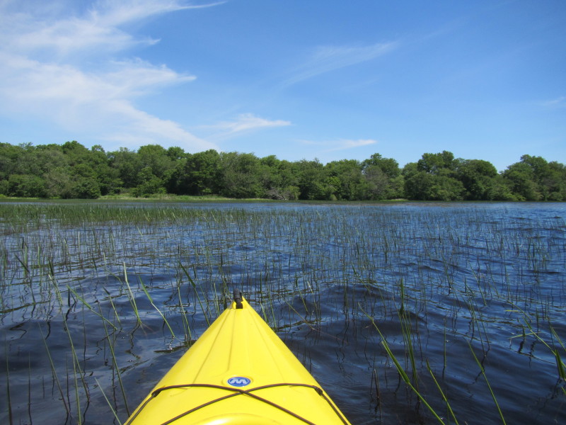
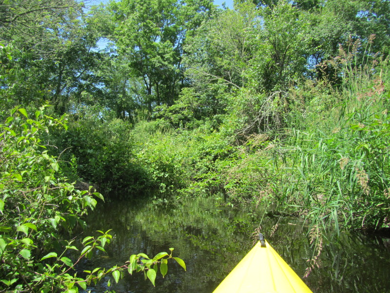
 Somewhere here is the outlet headwaters of the Pawcatuck River . . .
 Searching for the Pawcatuck . . .
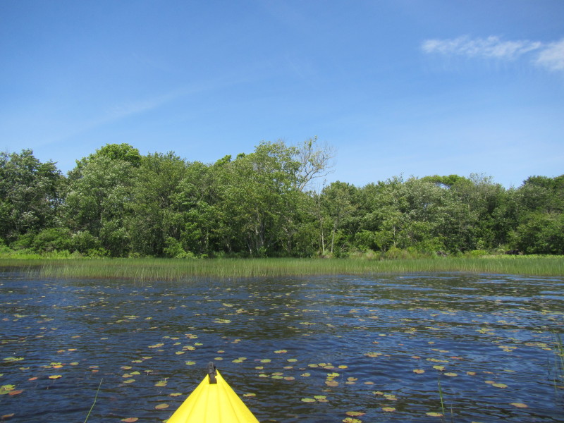
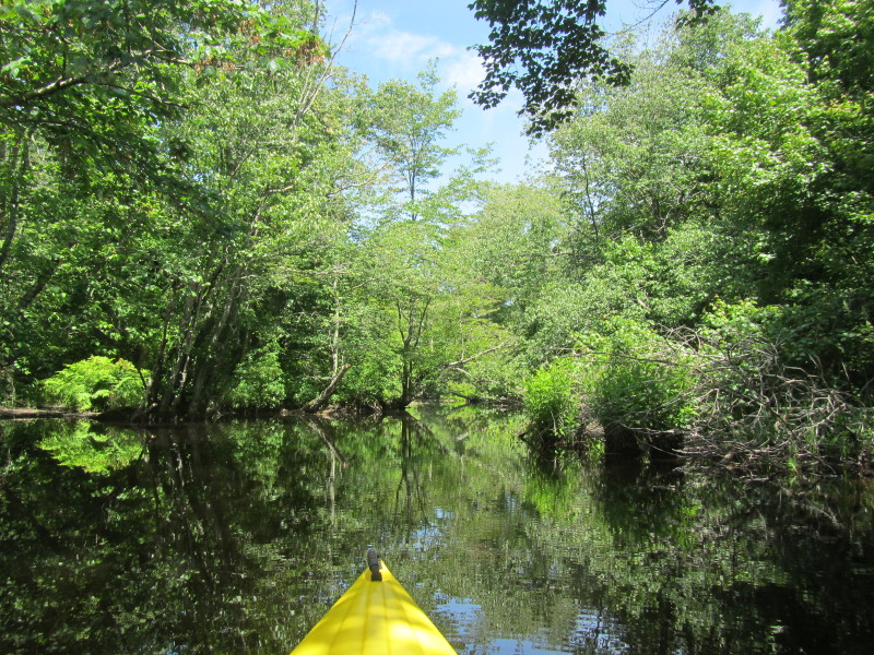
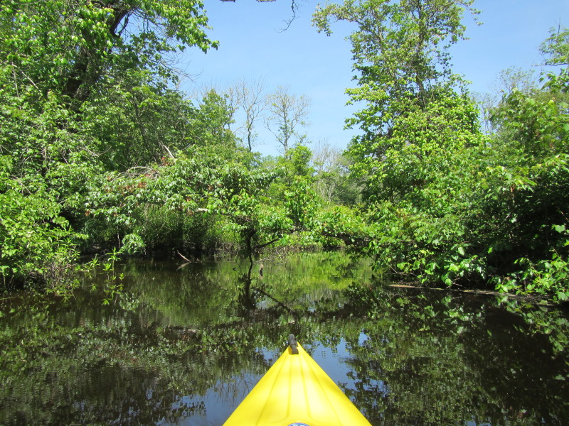
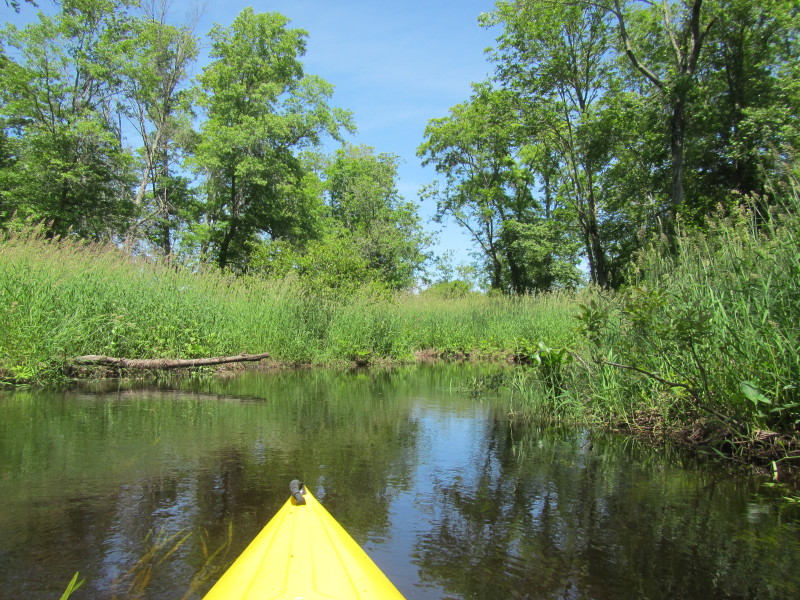
 Found the outlet clearing . . .
 This picture is viewed from some 100 feet into the outlet looking back at Worden. 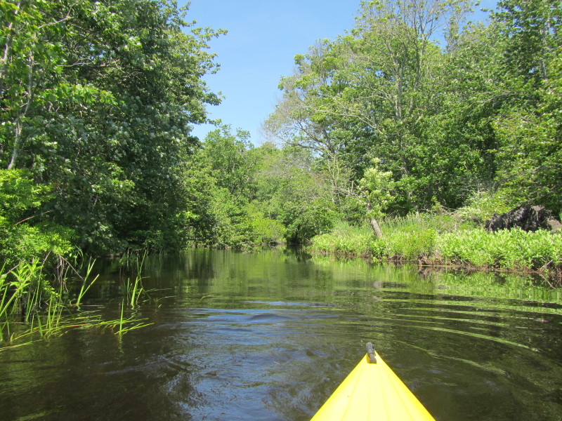 Now paddling into the start head waters of the Pawcatuck River.
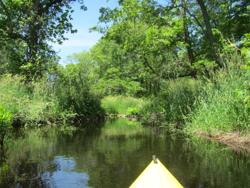
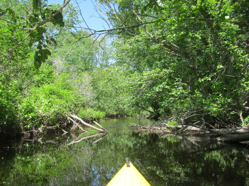
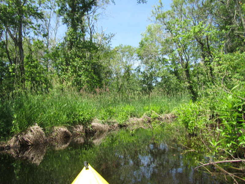
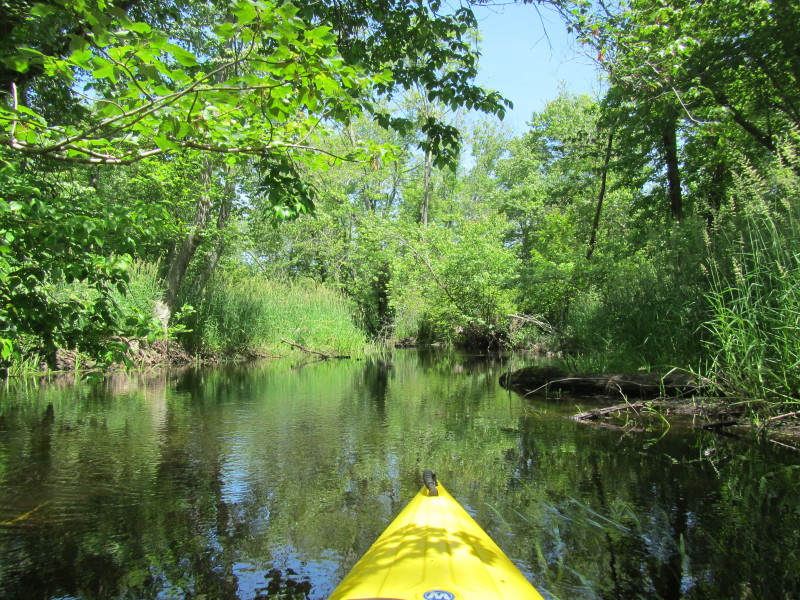
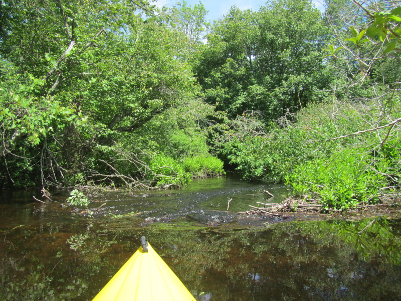 Remnants of a breached beaver dam.
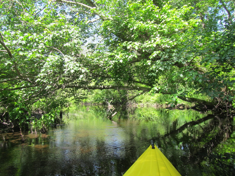
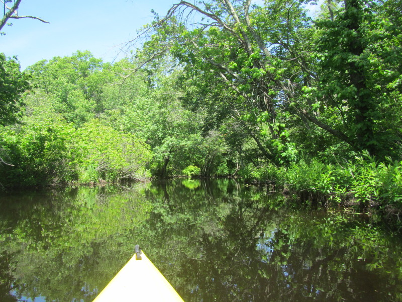
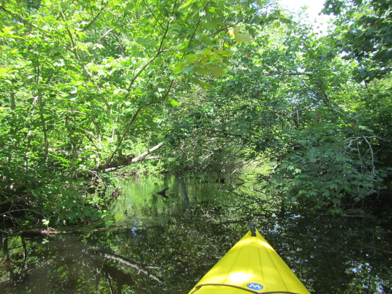
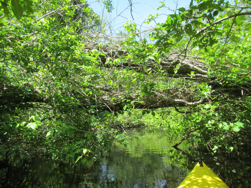
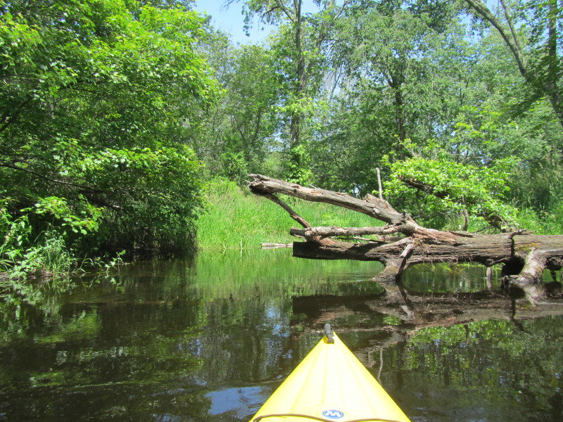
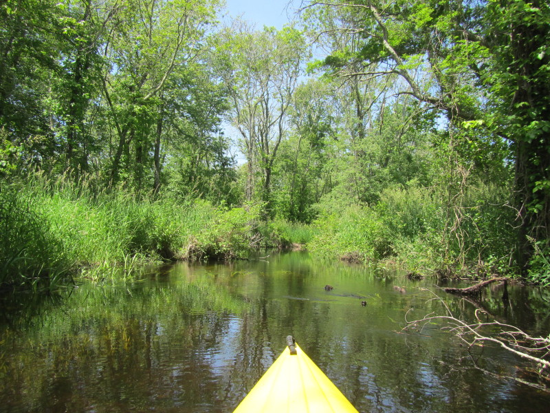
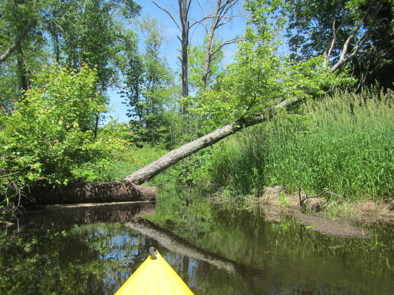
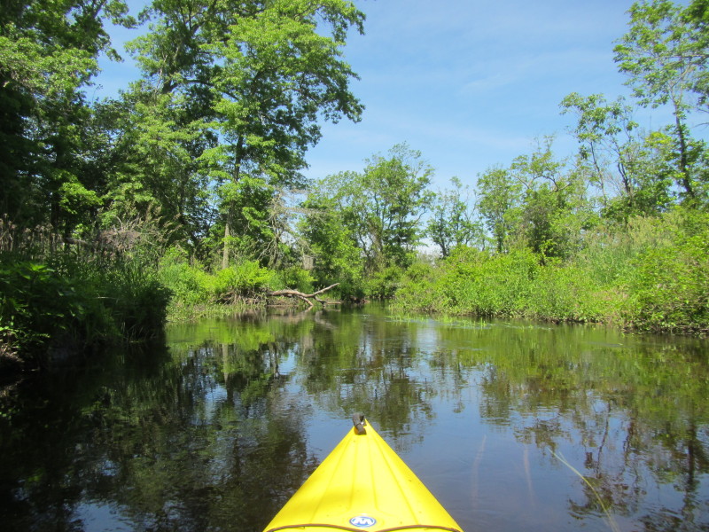
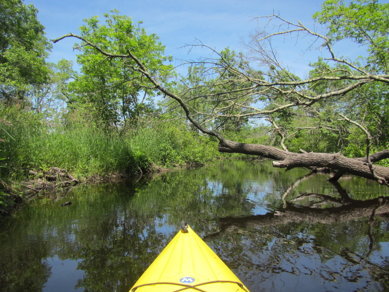
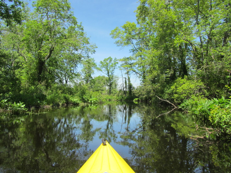
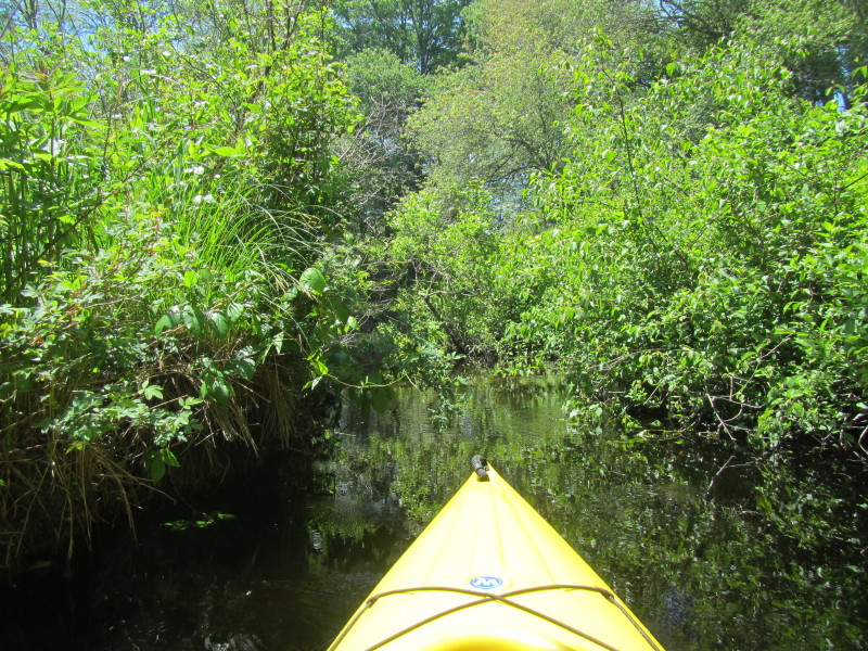
 Plenty of downed trees on this stretch of the Pawcatuck River.

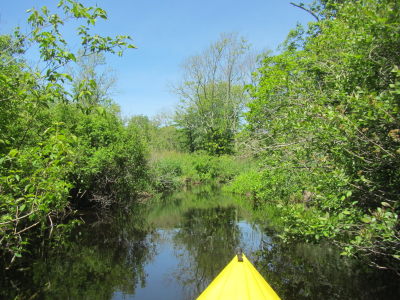
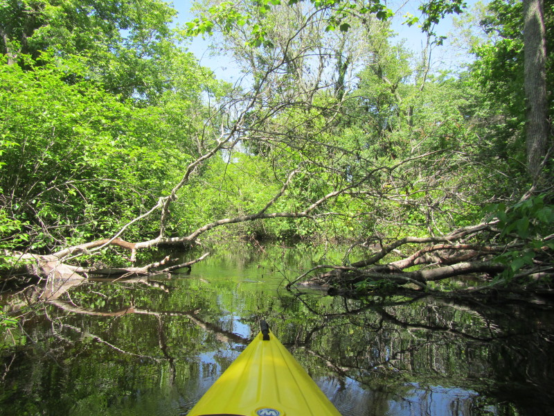
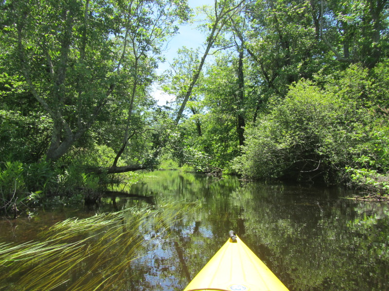
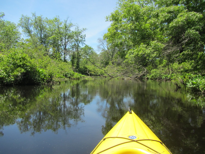
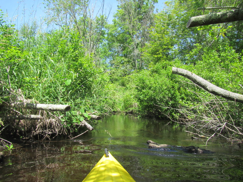 Thru out this route, the volunteers' have done a good work of cutting downed trees to make passageway.
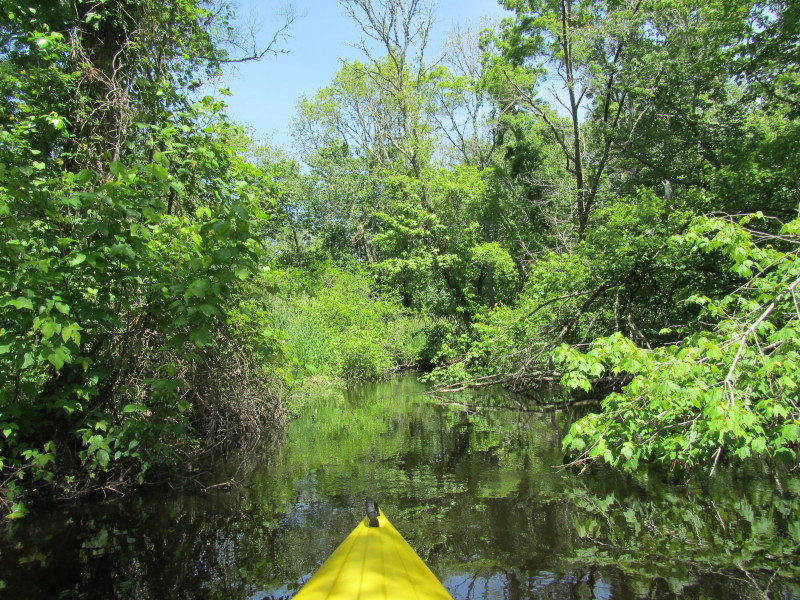
 I just hit a roadfork that this picture is not wide enough to show!
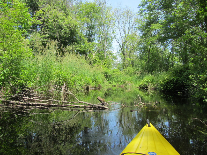
This spot is similar to a road running out and hitting a T. 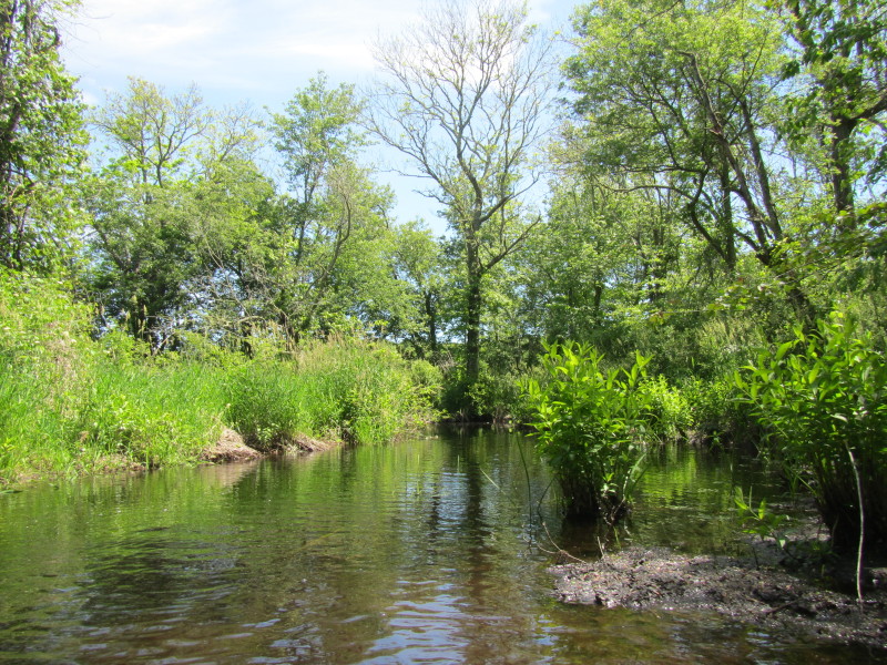 Looking at my right, a brook enters and joins the Pawcatuck River.
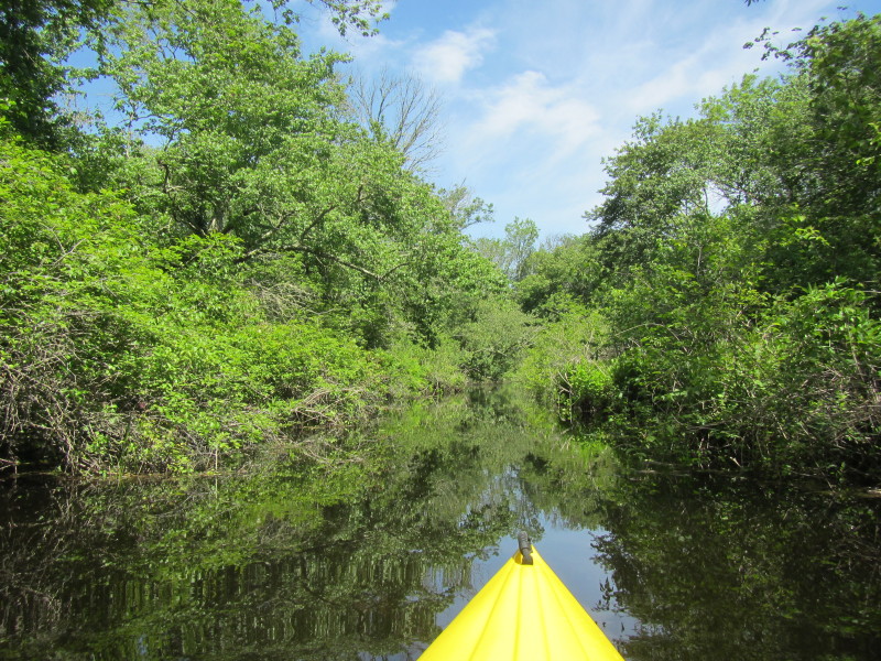
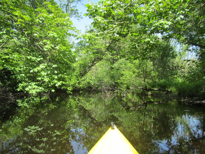
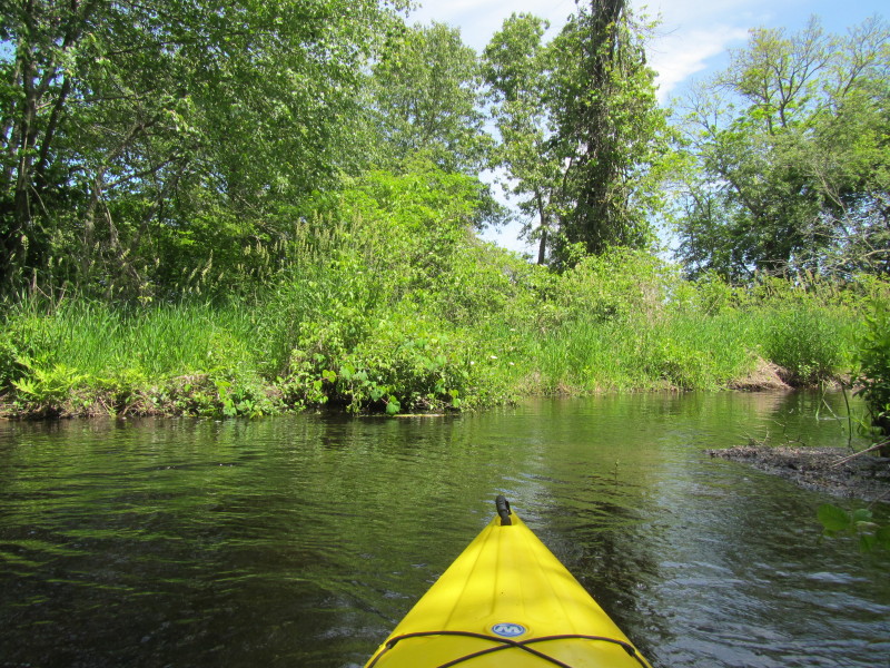
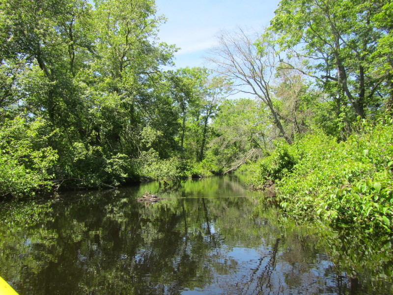
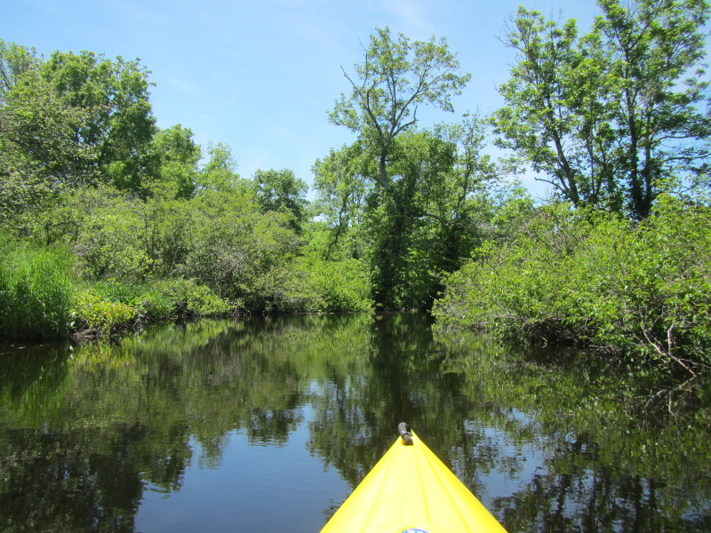
 Just veered to my left, following the flow of Pawcatuck River.
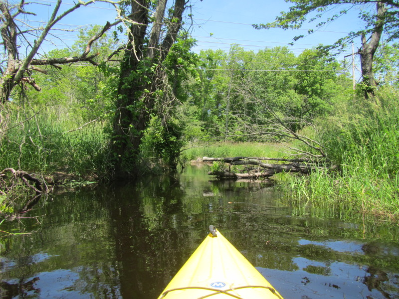
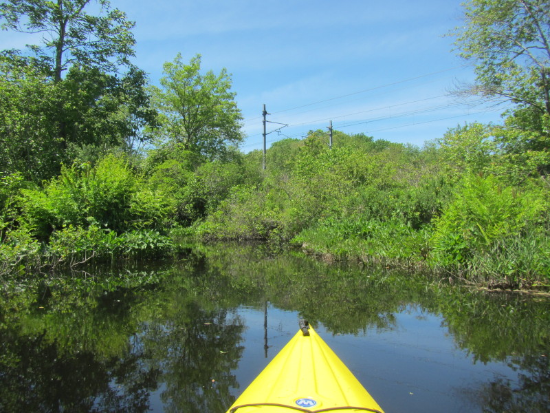
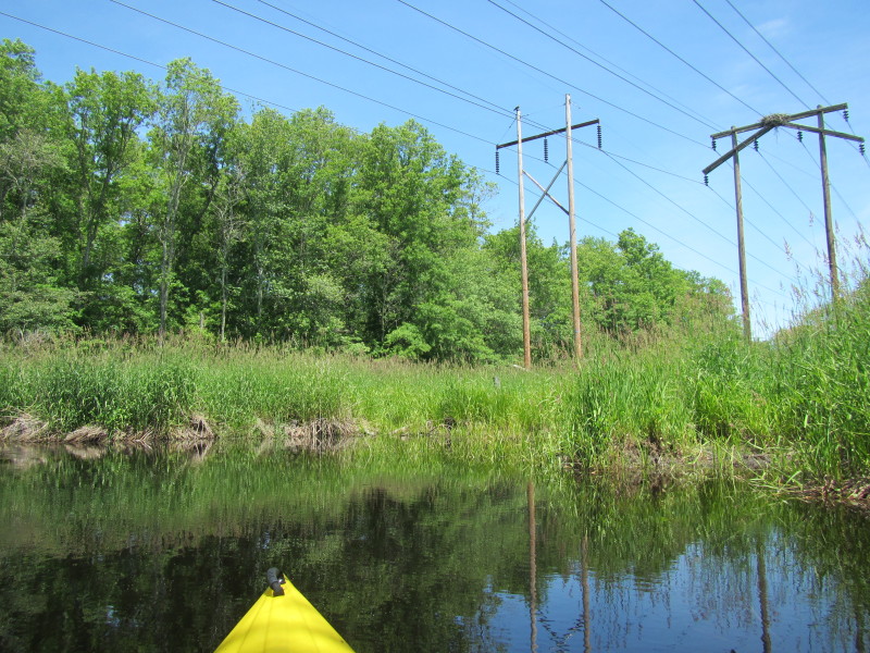 Power lines over Pawcatuck River.
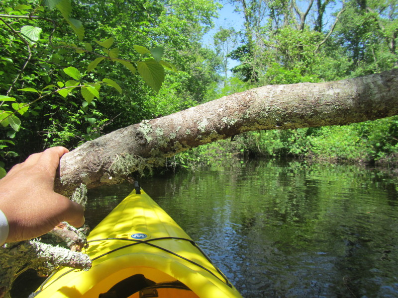
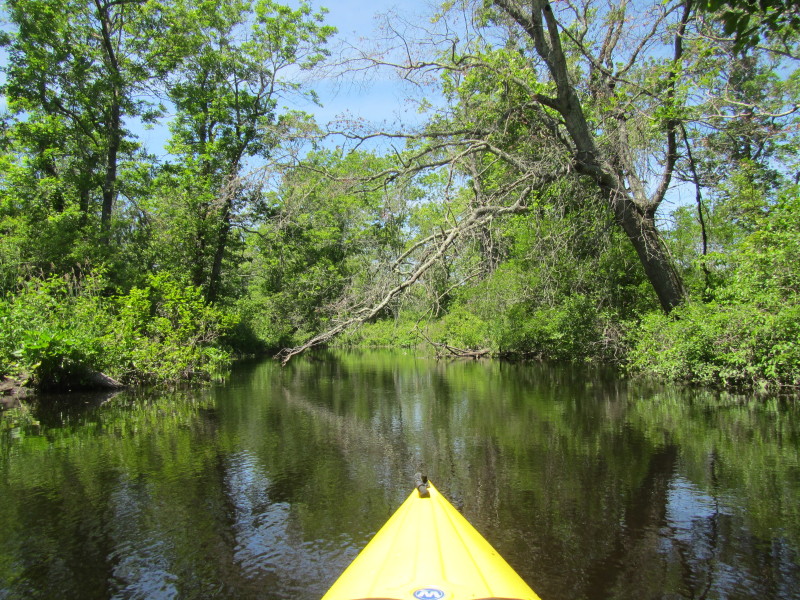
 This tree, with its main trunk partially submerged,
 is still much alive and growing. 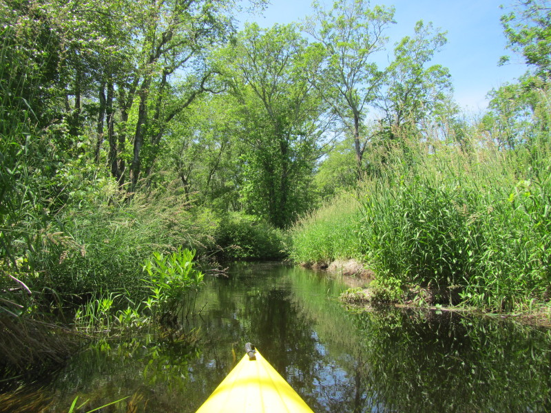
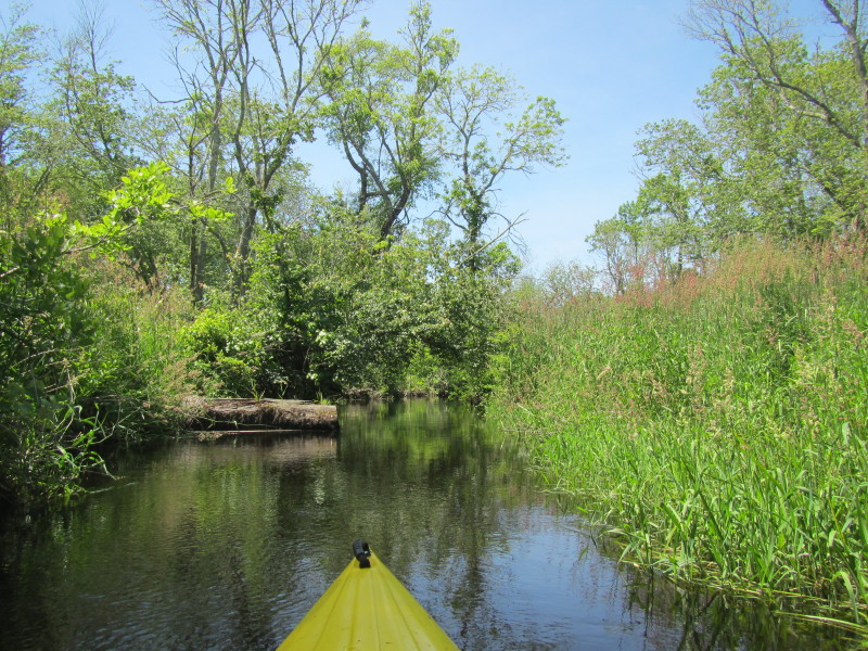
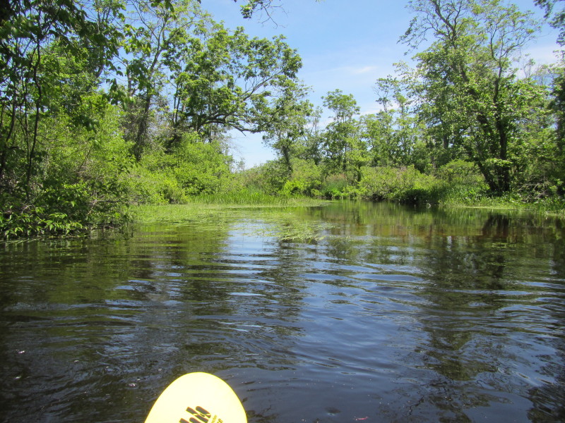 At the confluence of Queen's River (a.k.a. "Usquepaugh" river) and Pawcatuck River.
Looking to my right is the Queen's River merging into the Pawcatuck. 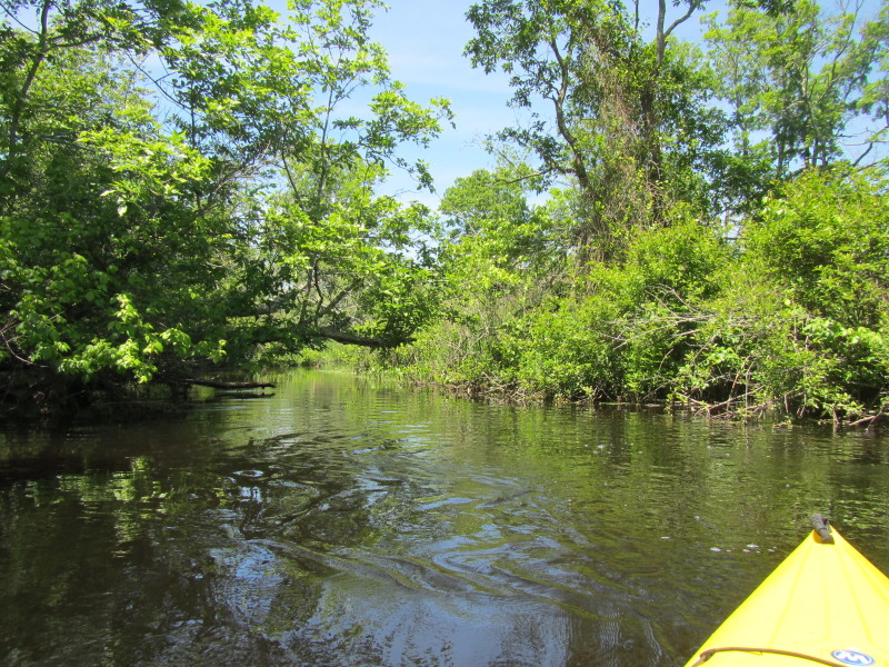 Veering left staying with the flow of the Pawcatuck River, now slightly bigger after merging with Queen's.
 I can now see the power lines on the rail tracks.
 Now I see this inlet to my right. Will veer right.
 Just got into the inlet towards the Biscuit City landing.
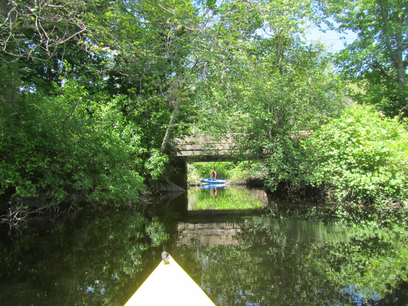 There is my landing on the other side of the rail tracks!
Total paddle time was 1 hour and 40 minutes. 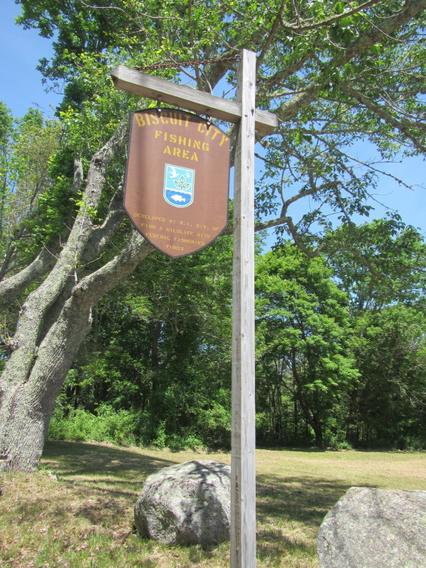
The Biscuit City Landing road marker at the end of Kenyon School Road. 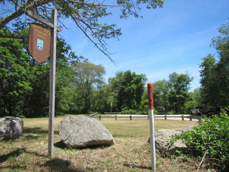
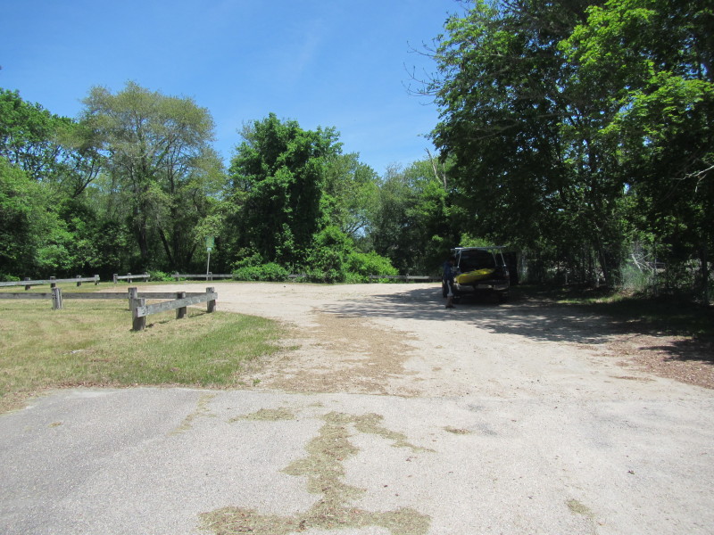 Biscuit City Landing launch and parking area.
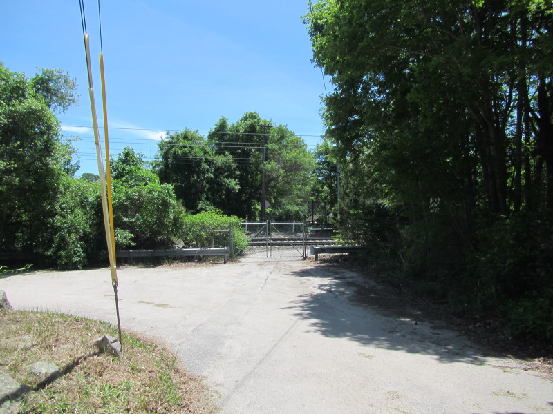 Next to the Biscuit City Landing is this padlocked rail track area.
|