 Kayaker

|


|
Download printer-friendly
PDF version that fits in one page: |

|
|
Other resources:
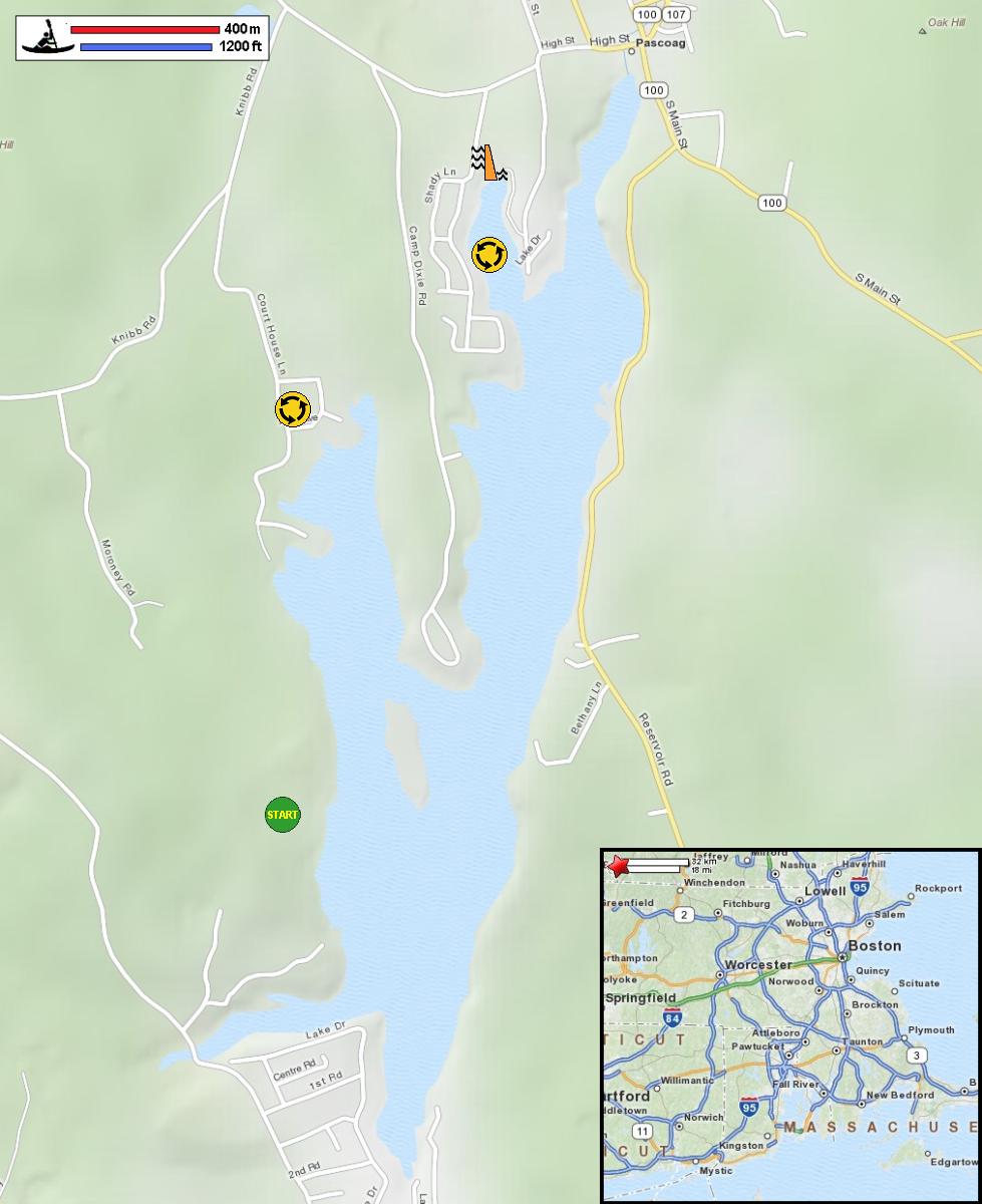
Explore RI's Blueways and Greenways: Pascoag Reservoir All photos in this website are original and copyrighted. 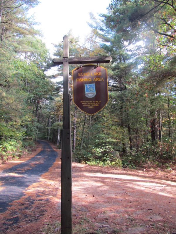
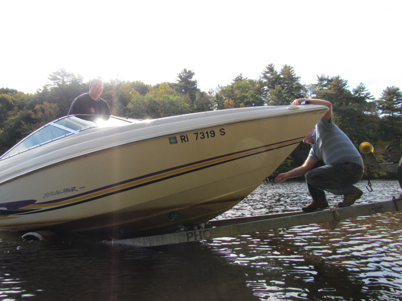
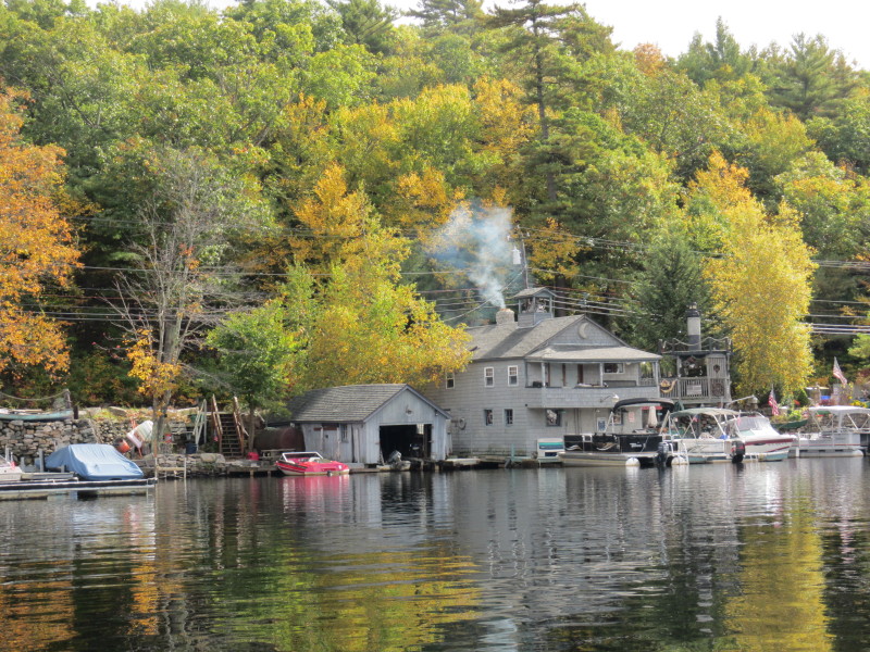
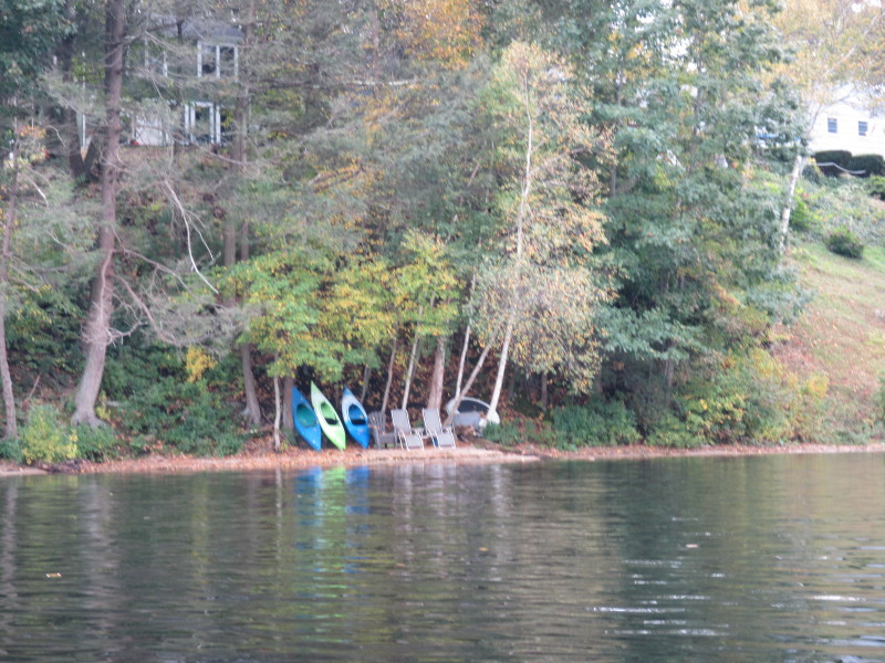
At the Pascoag Reservoir (aka Echo Lake) launch. Trip date is October 2012. 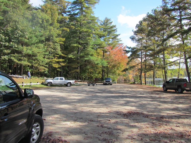 Launch area parking lot.
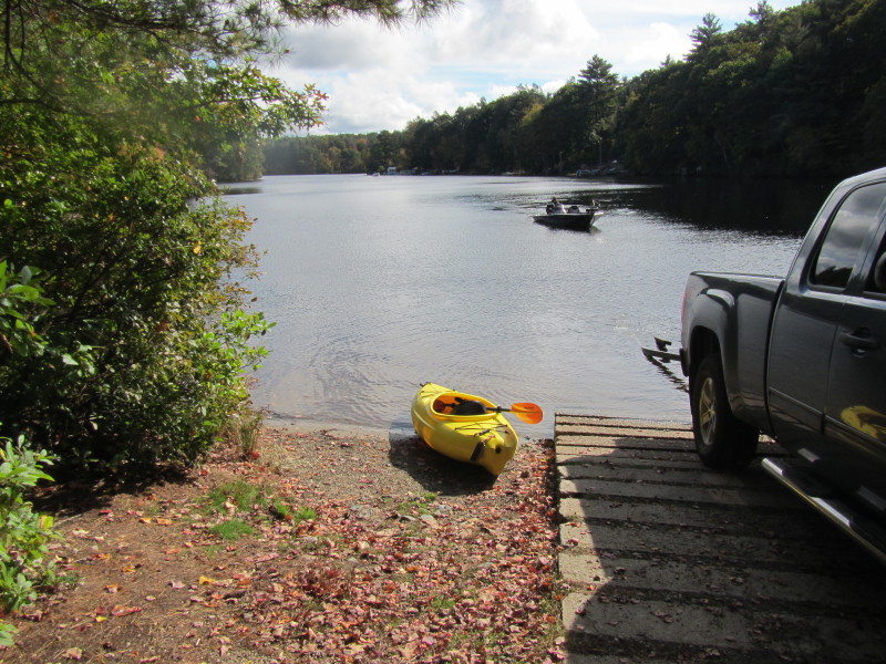
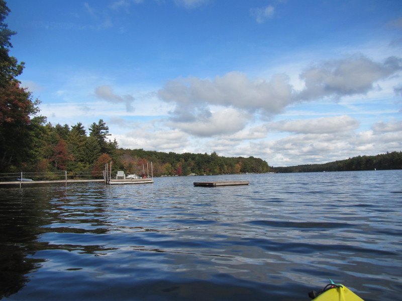
 Paddling out of the launch cove.
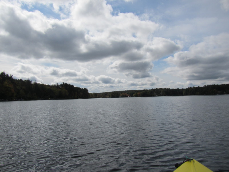
 It is that cloudy New England fall day. Dark skys for 9 days now.
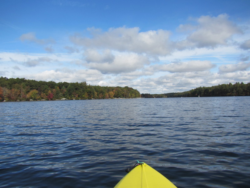
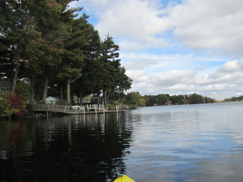
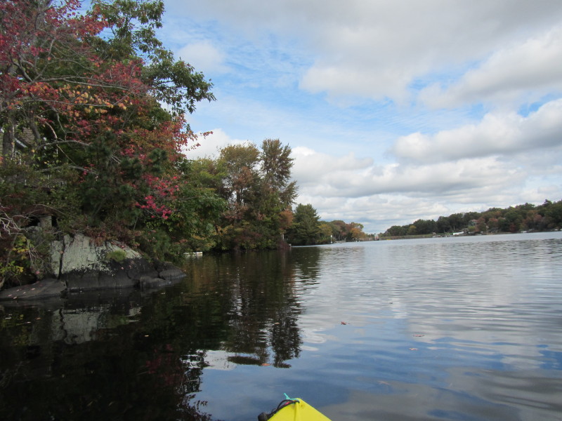
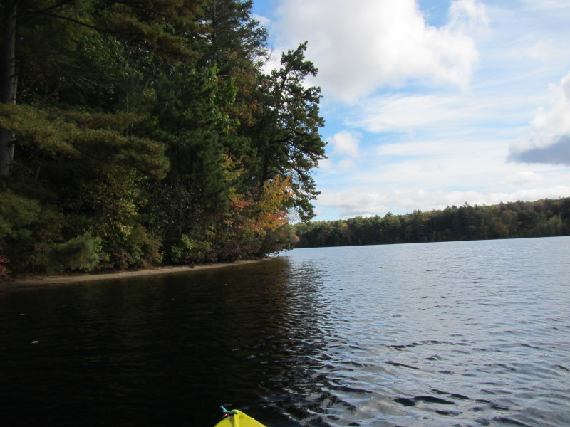 I am now about to emerge out of the cove marked by these trees on my left.
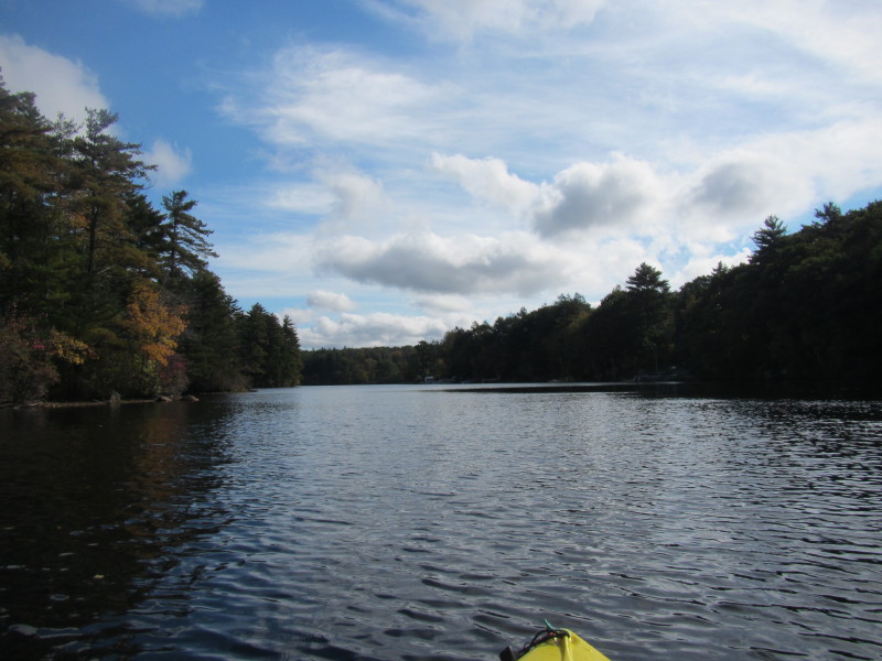
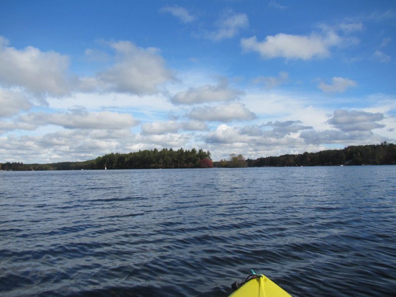
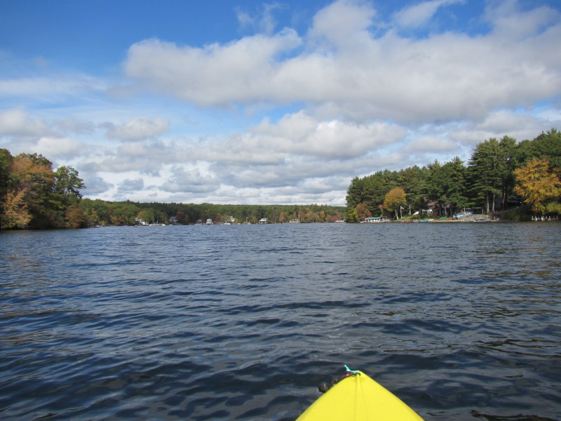
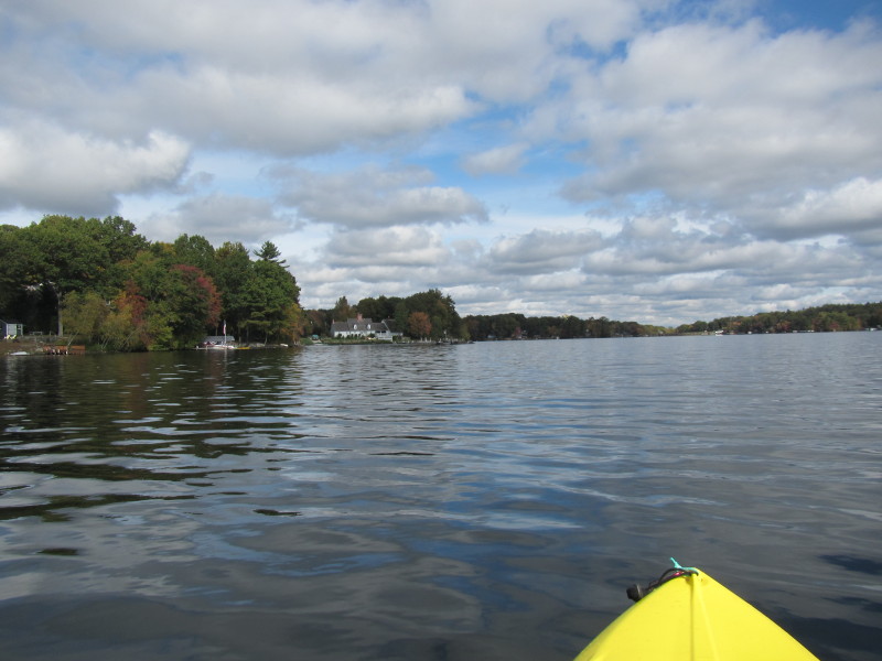
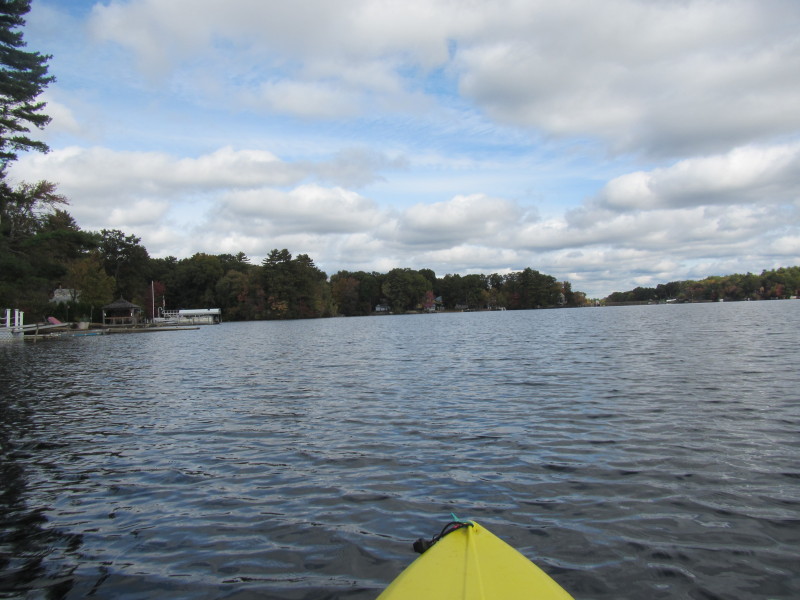
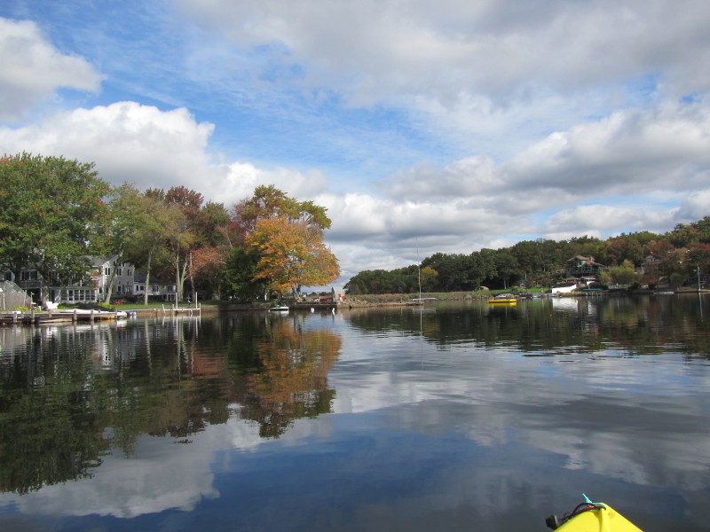
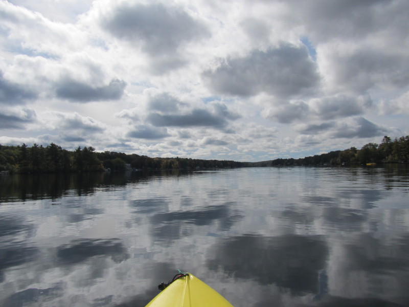
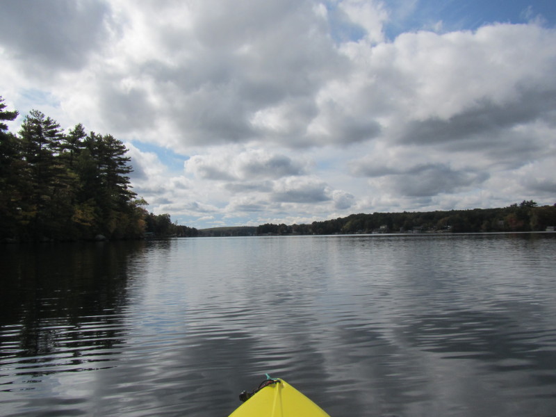
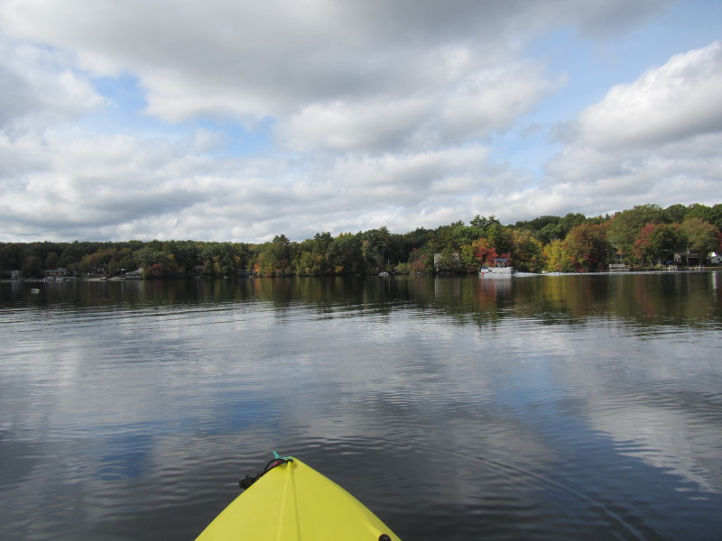
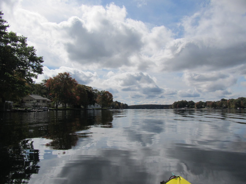
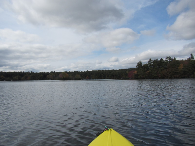
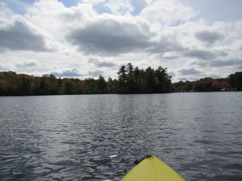
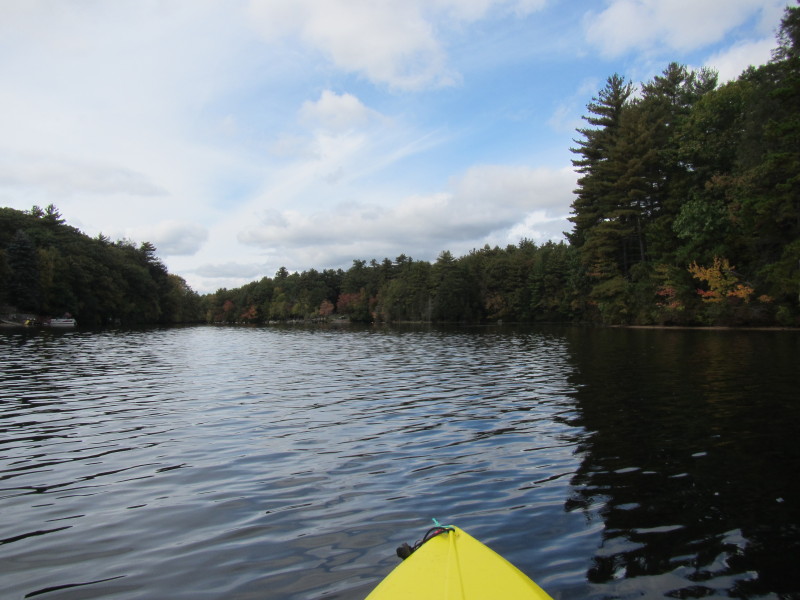
 Now out of the launch cove and facing north on the main lake body.
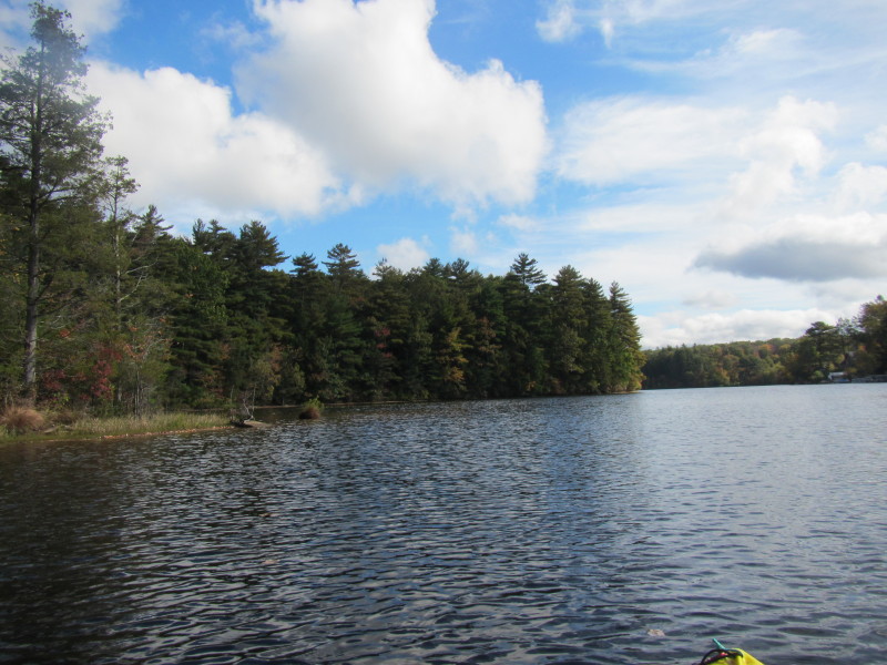
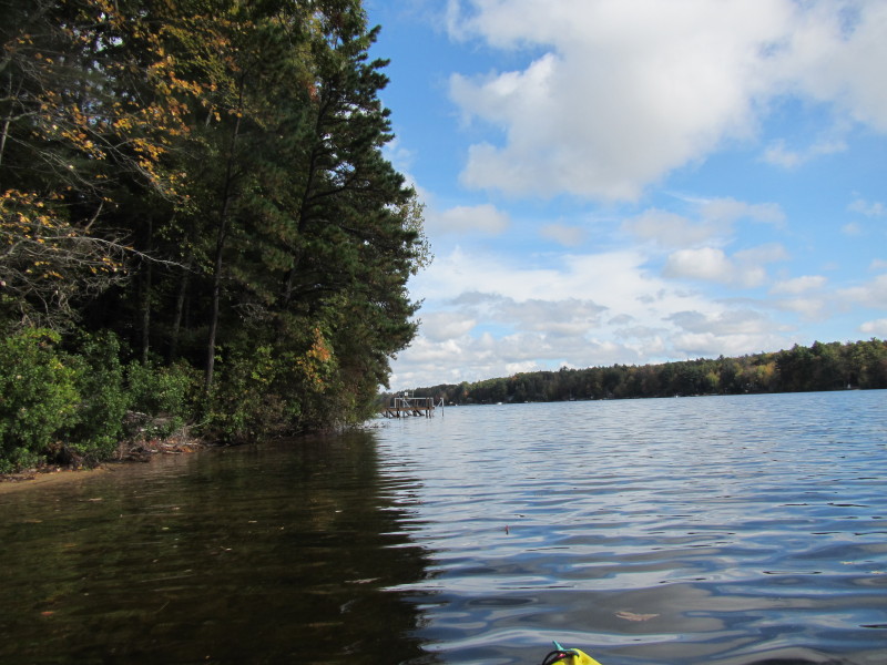
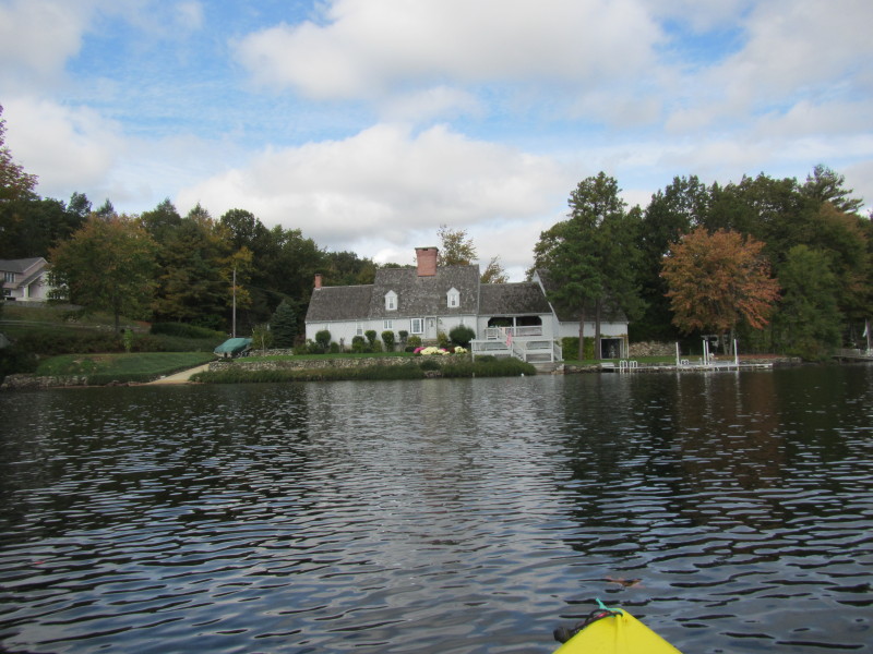
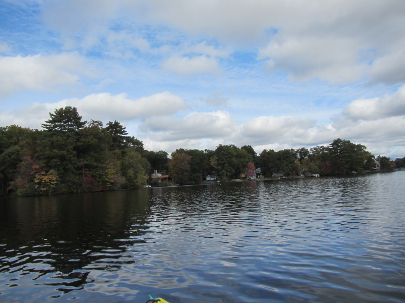
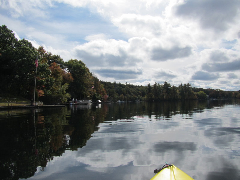
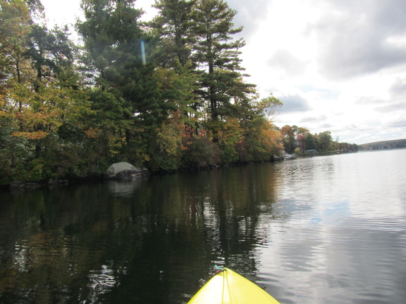
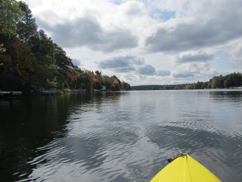
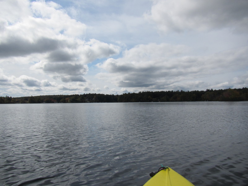
 For now, following the shore on my left.
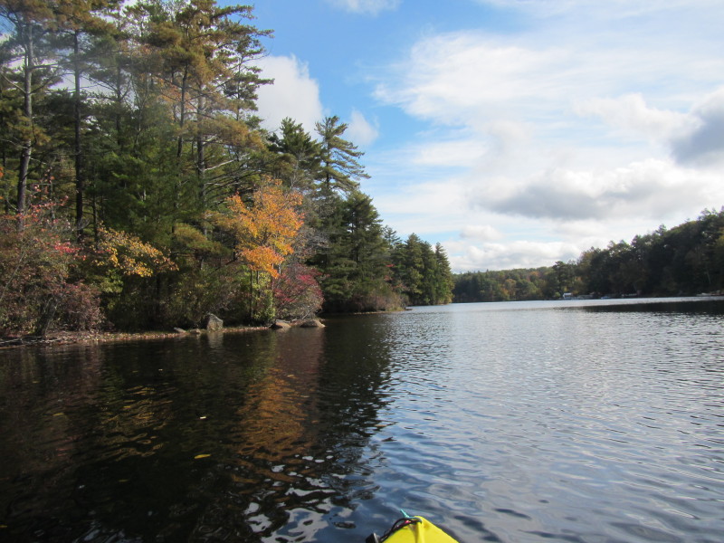
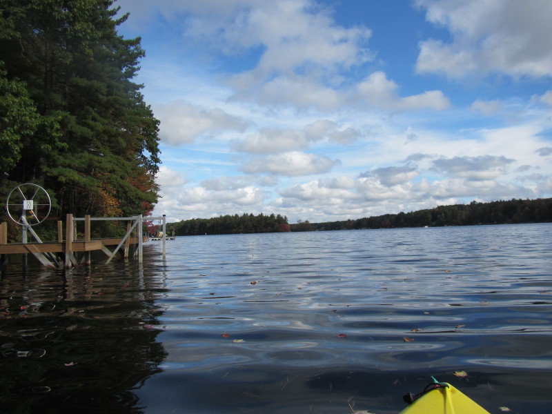
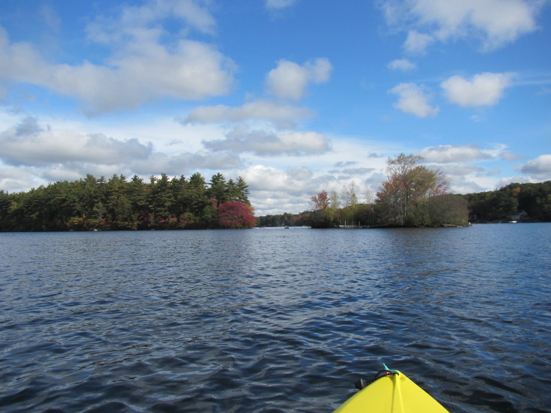
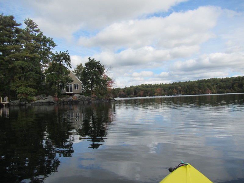
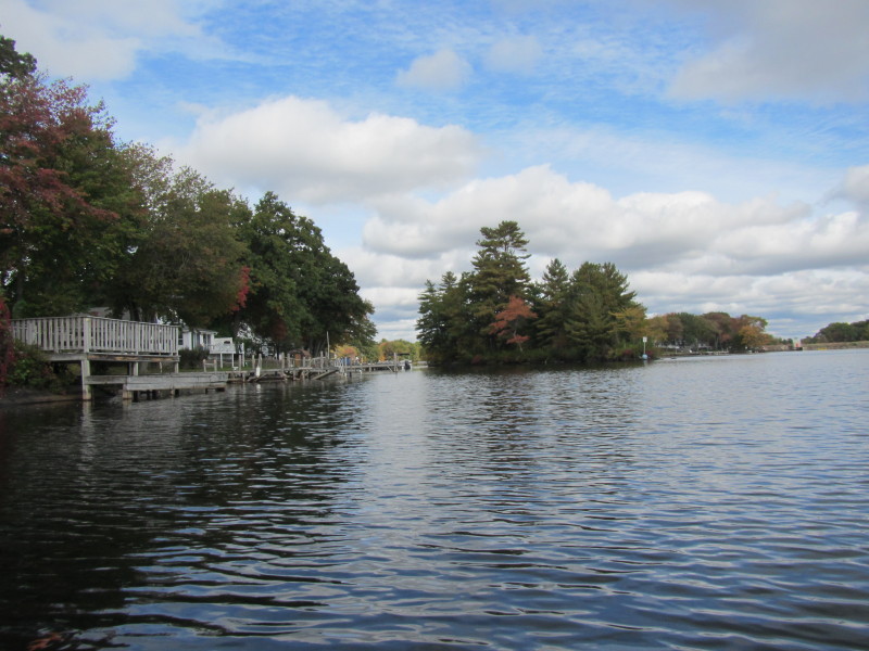
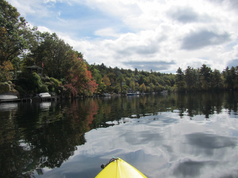
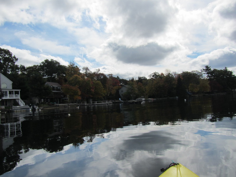
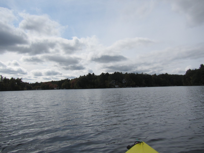
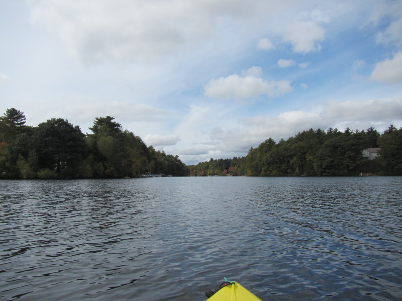
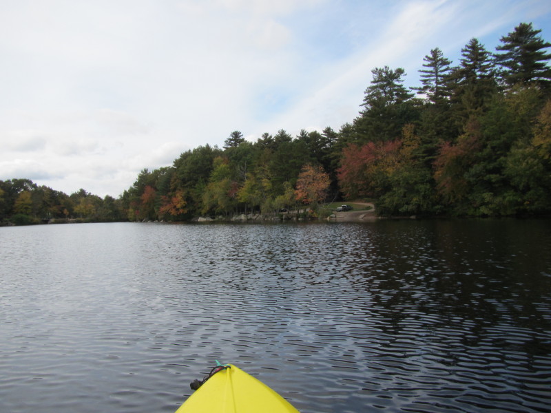
 At this point, I am paddling towards the eastern cove.
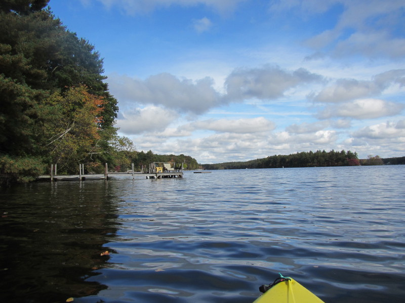
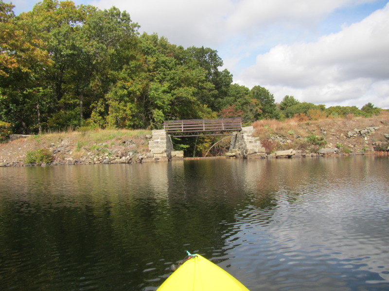
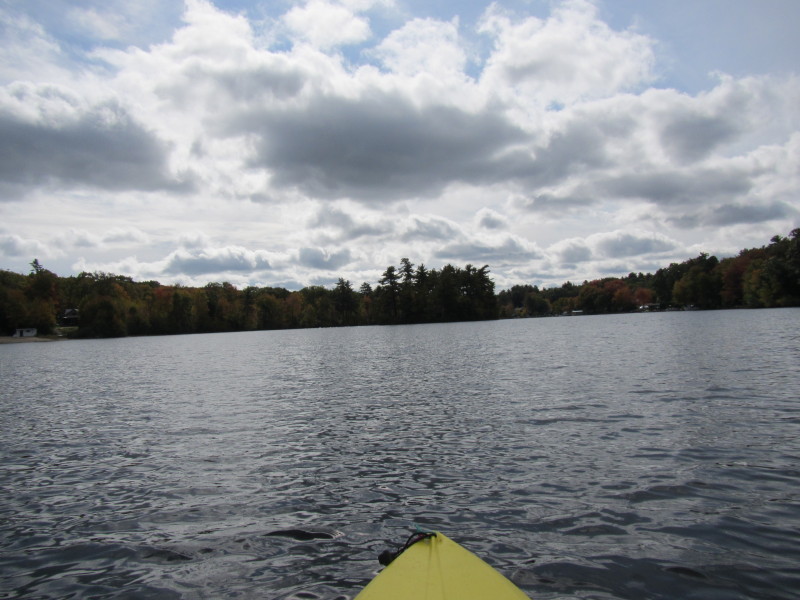
I decided to skip over this northwest cove on my left. 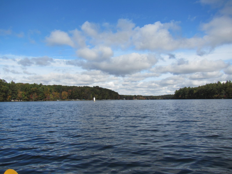 The northwest cove of Pascoag Reservoir (aka Echo Lake).
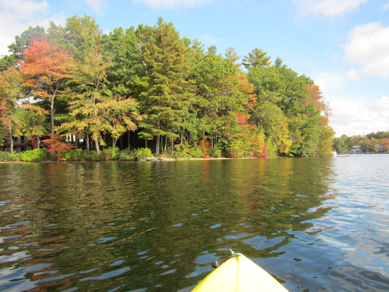
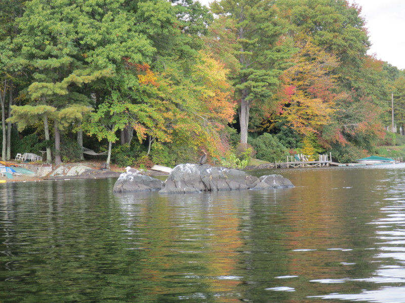
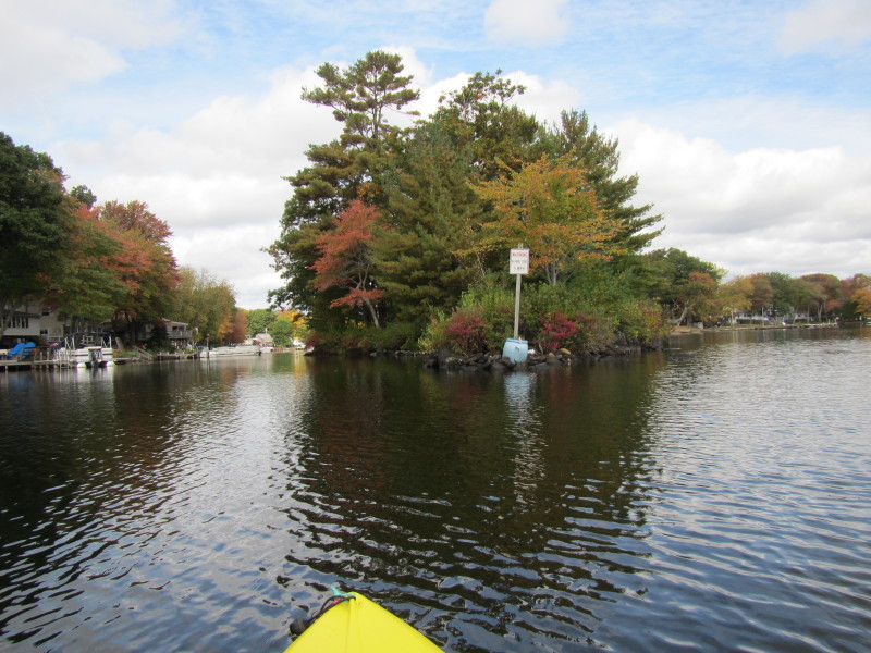
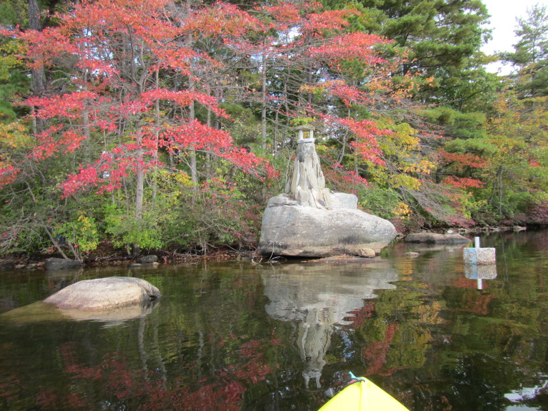
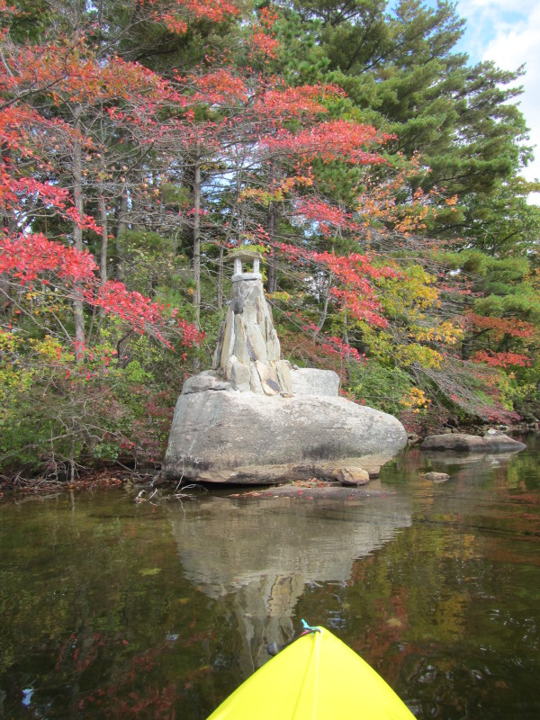
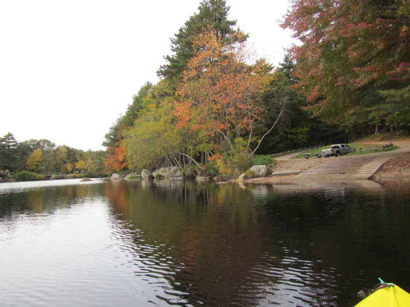
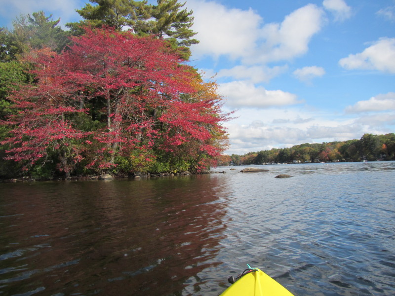 This red tree is the tip of the peninsula dividing the Pascoag.
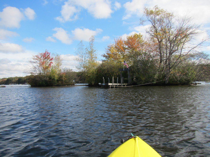
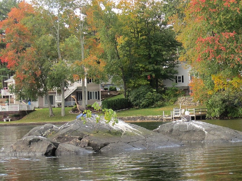
I will paddling around this to the left. 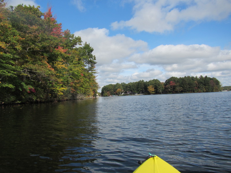 Past the island, I am now on the northeast cove.
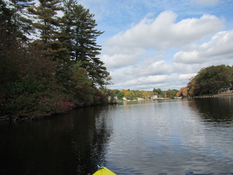
 Paddling north and hugging the shore on my left.
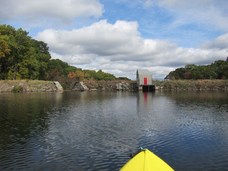 I have reached the north end of the Pascoag Reservoir marked by the dam and water lock.
 The dam closer.
 I am now paddling eastward and will try to hug the other shore on the way back.
 Pascoag Reservoir viewed from the north end.
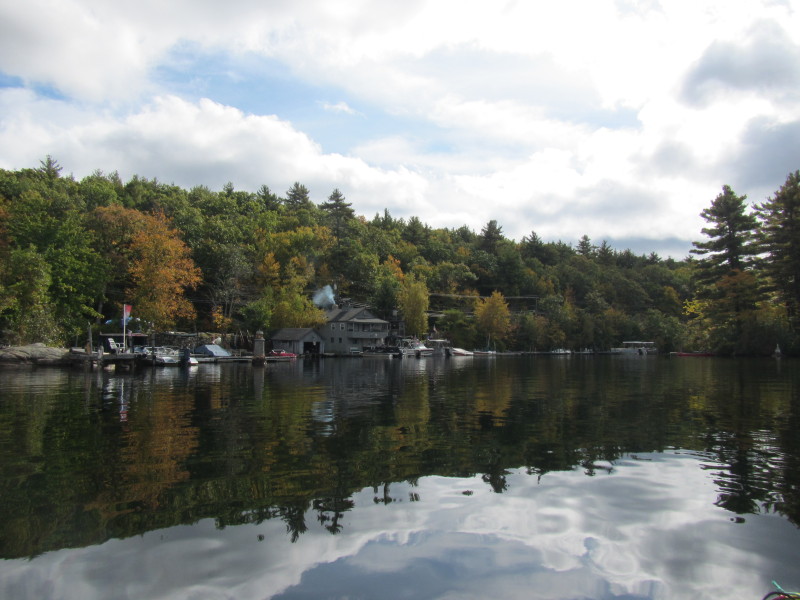
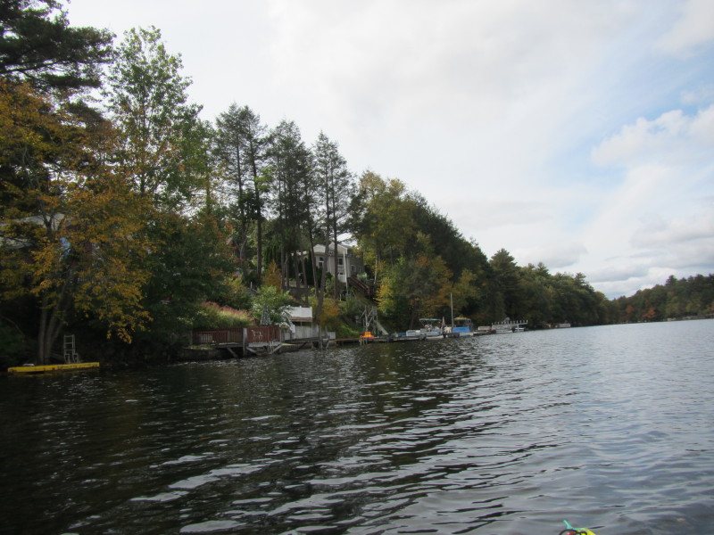
 I am now paddling south and hugging the eastern shore on my left.
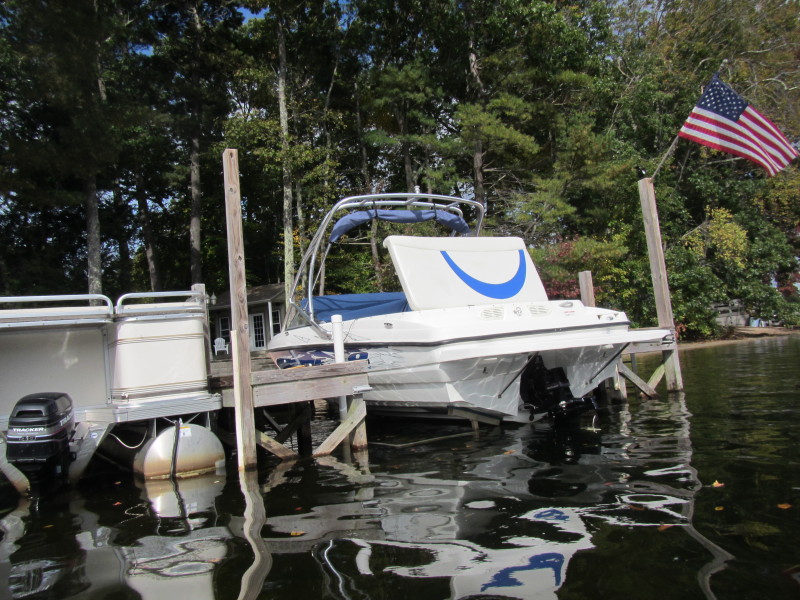
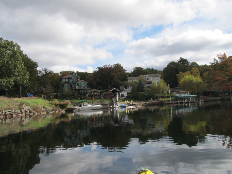
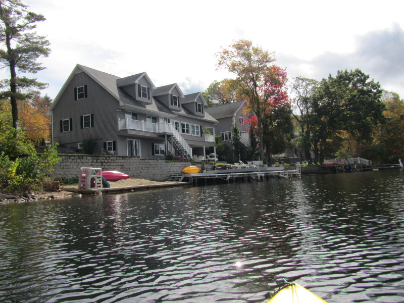
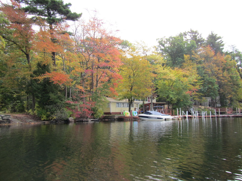
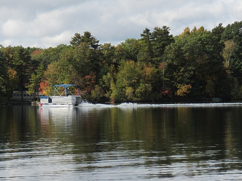 A pontoon boat on Pascoag Reservoir.

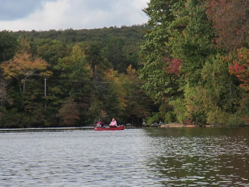 A couple on a canoe on Pascoag Reservoir.
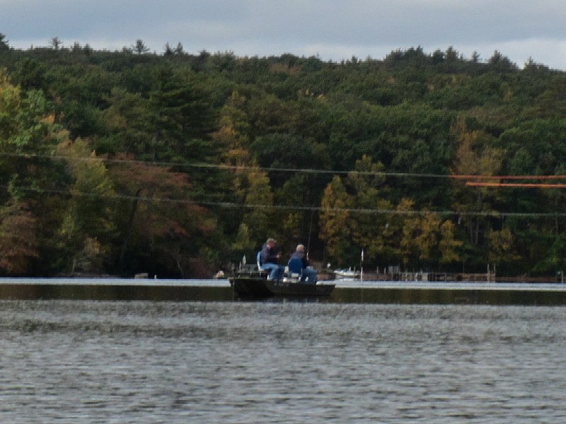 Two guys fishing from a boat on Pascoag Reservoir.
 I am done on the eastern shore and now paddling southwest to the launch cove.
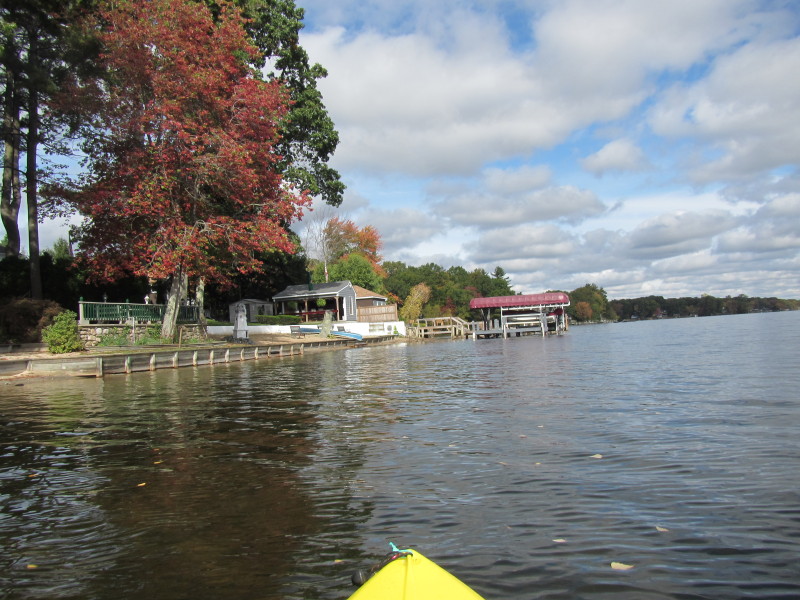
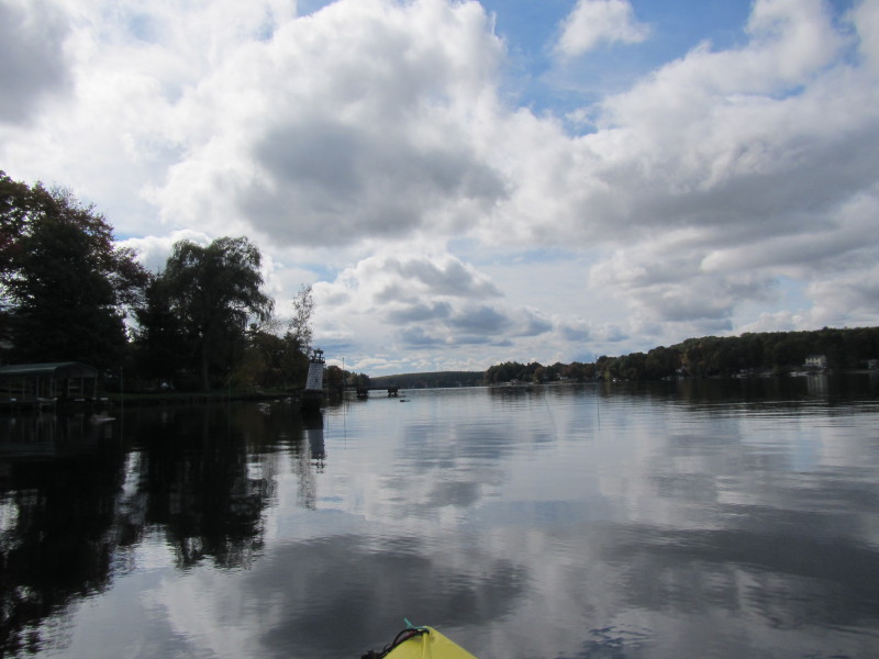
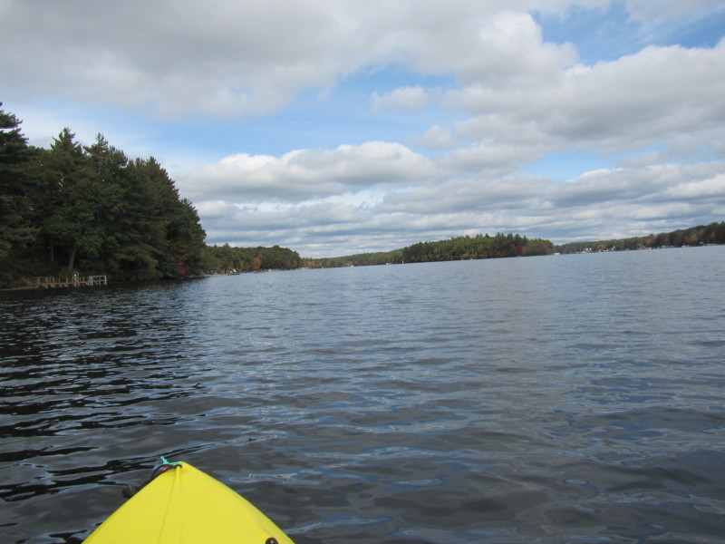
 The southern cove of Pascoag Reservoir.
 In front of me, center of the picture, is the launch cove.
 Before disappearing to the launch cove, I looked north at the main body of the Pascoag Reservoir
and took this photo.
Before disappearing to the launch cove, I looked north at the main body of the Pascoag Reservoir
and took this photo.
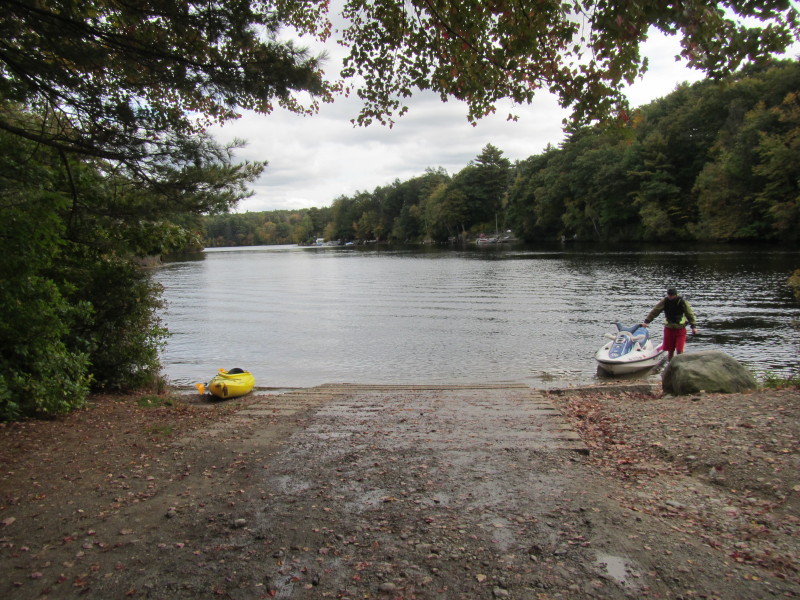
 I can see the launch ramp clearly now.
 I was on the water from 10:19am to 12:02pm. That's 1 hour and 43 minutes.
|