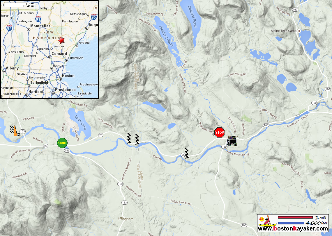
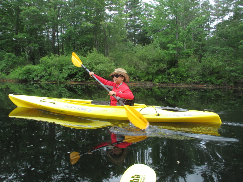
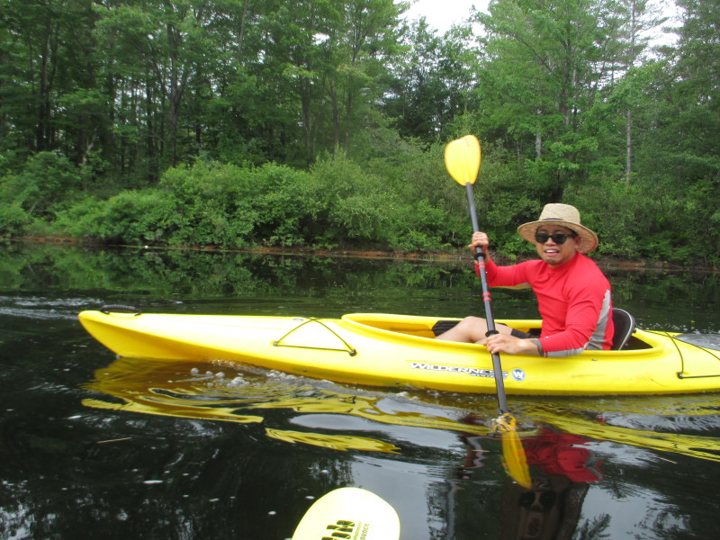
 Kayaker

|


|
Download printer-friendly
PDF version that fits in one page: |

|
|
Other resources:
Riverfacts.com: Ossipee River All photos in this website are original and copyrighted. 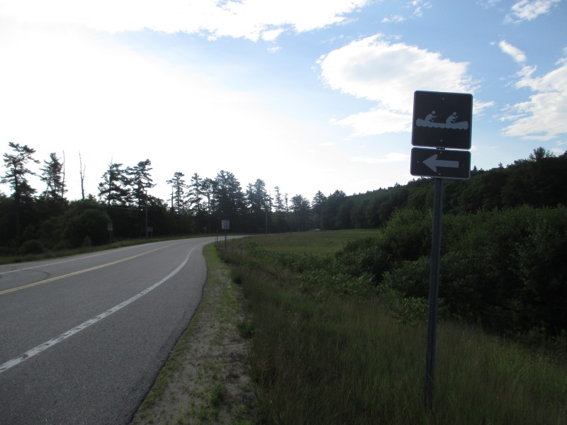 The road marker to the access area to Ossipee River on Route 153 in Effingham NH.
Trip date July 2016. 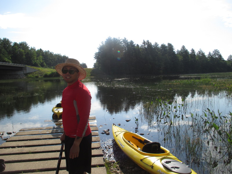 The Boston Kayaker's son at the put in ramp to Ossipee River just downstream of the Route 25 bridge.
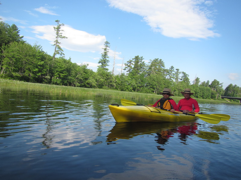
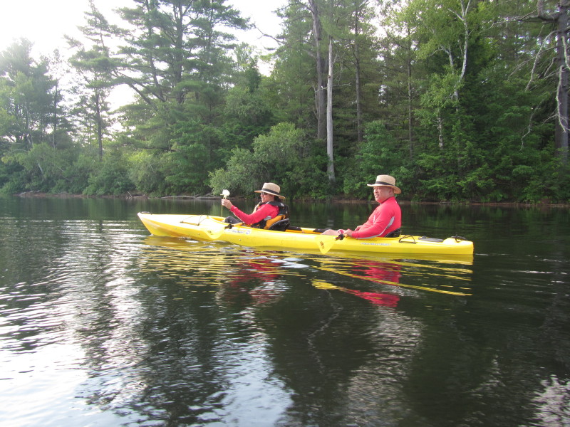
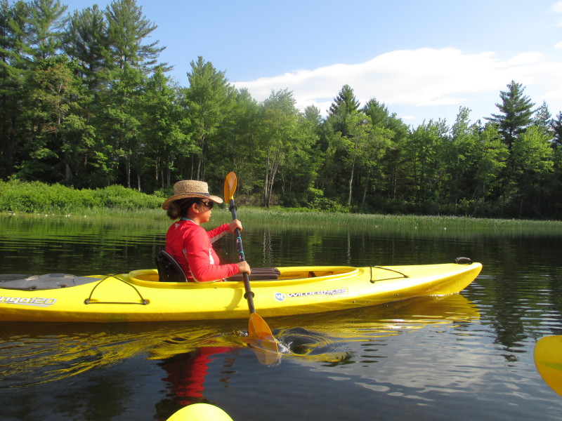
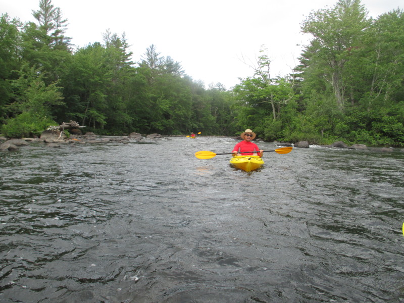
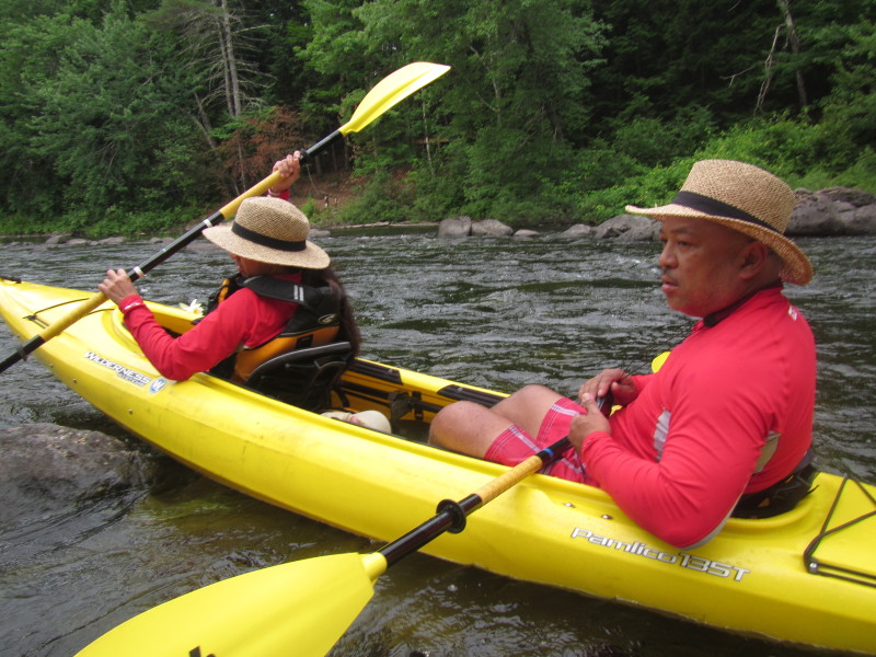
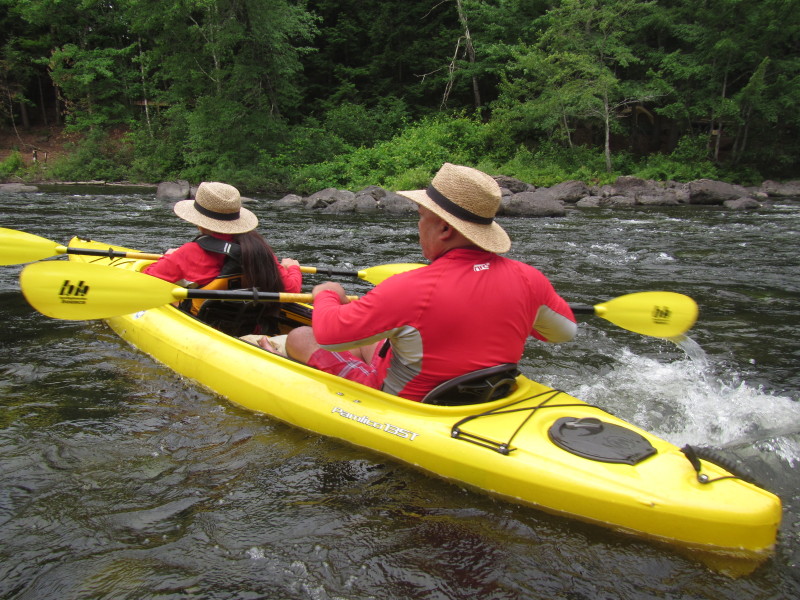
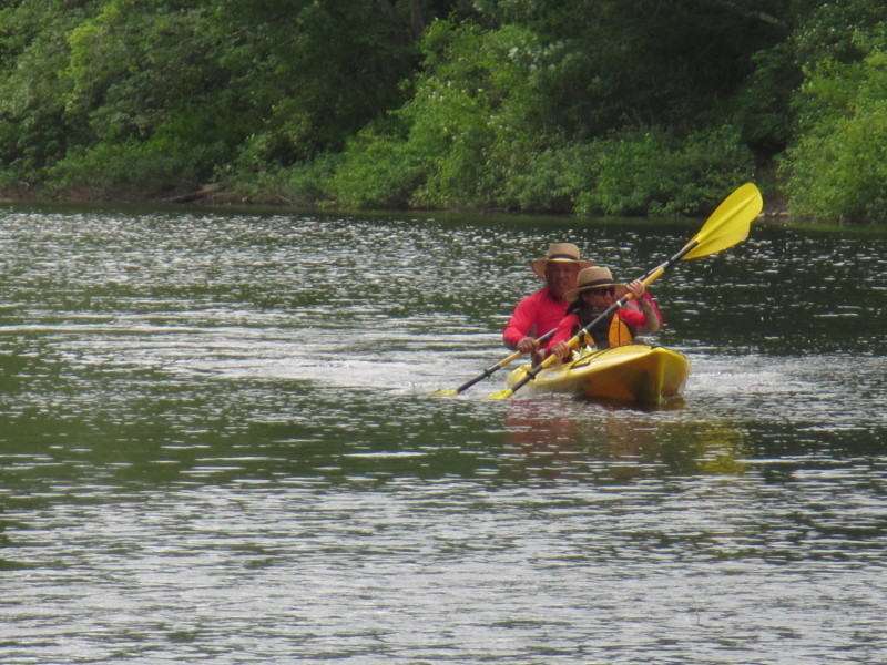
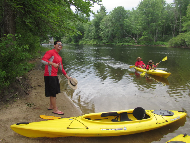
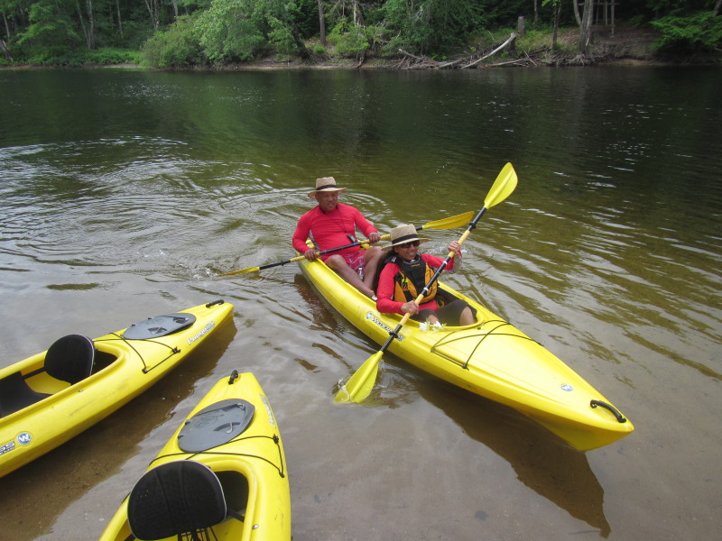
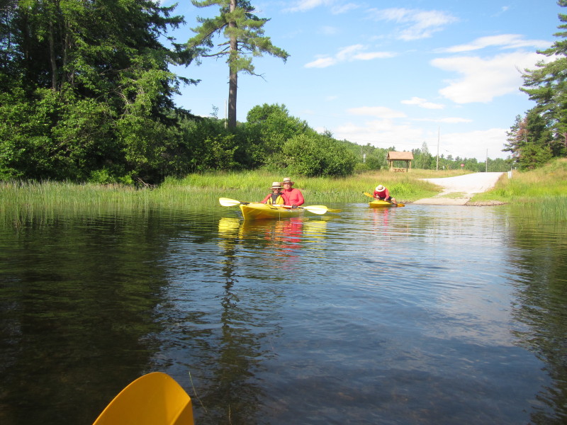 The Boston Kayaker with wife on tandem kayak just launched into Ossipee River in Effingham NH.
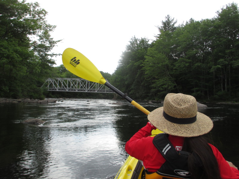
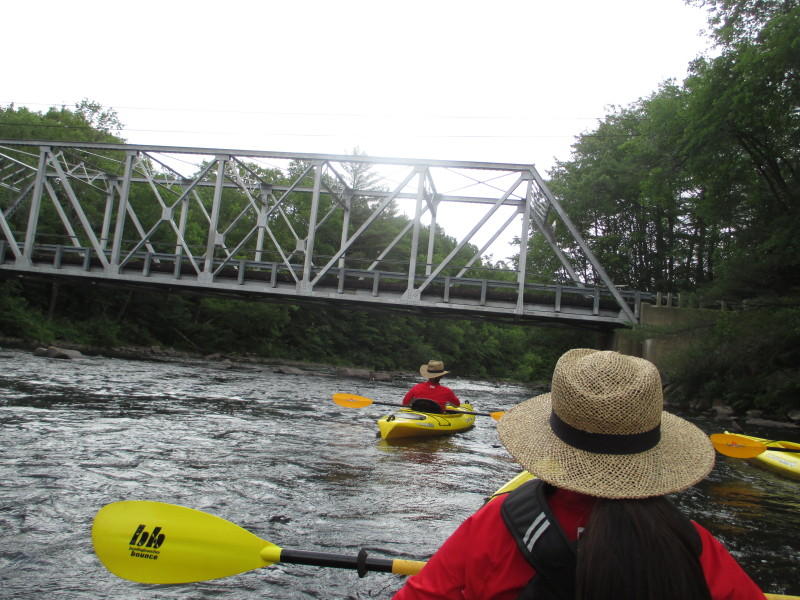
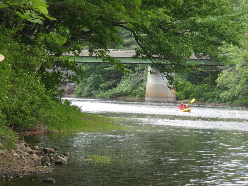
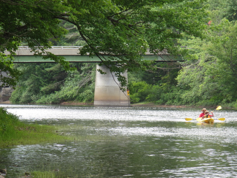
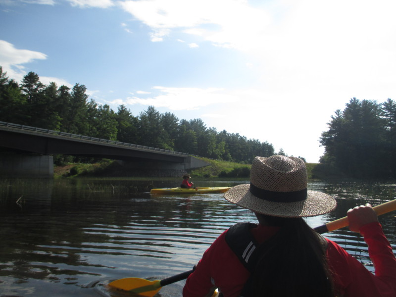 On left of ramp is the Route 25 bridge over the Ossipee River.
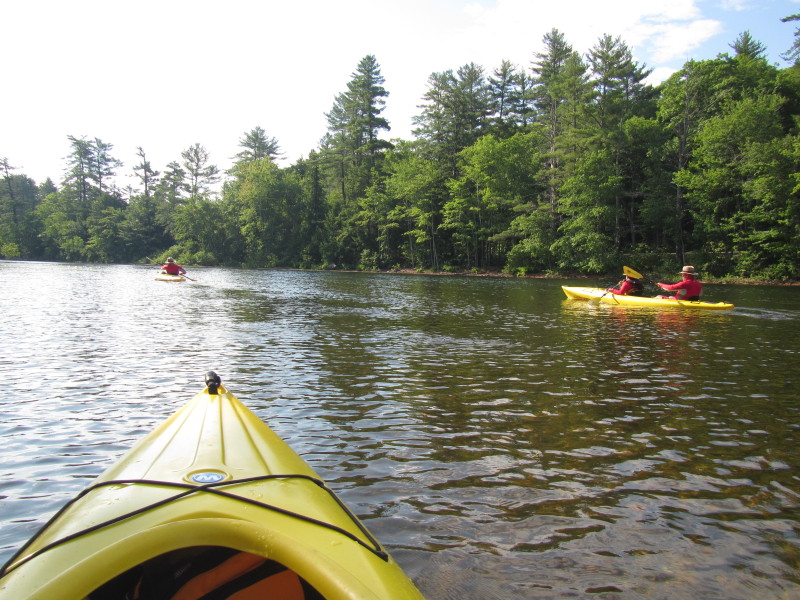
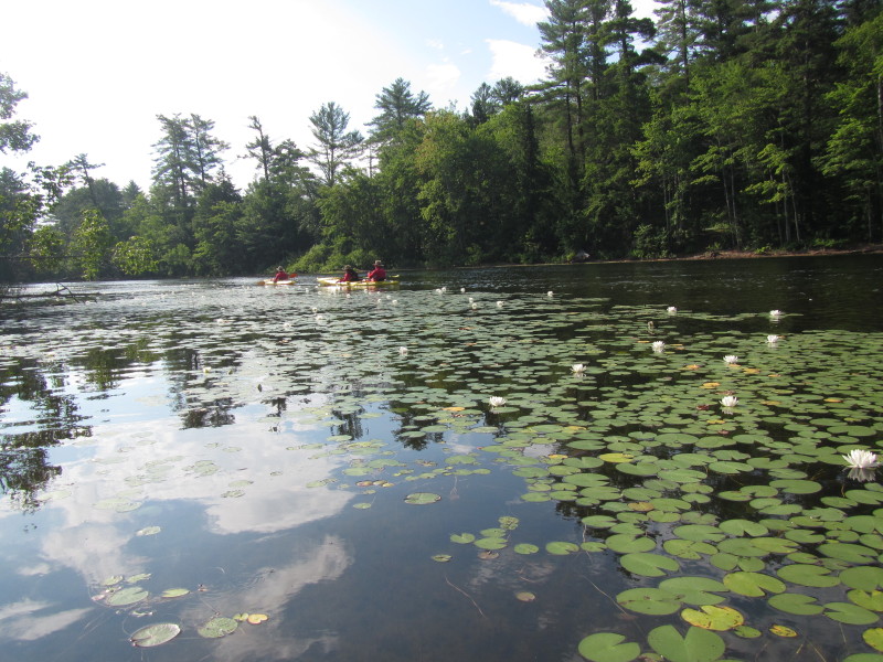
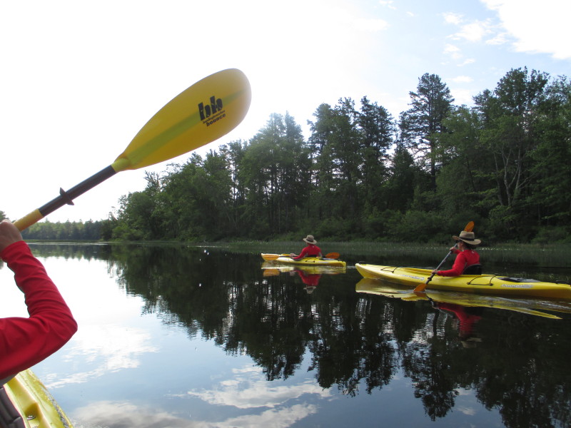
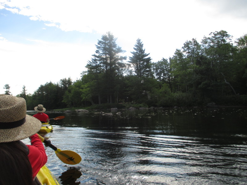
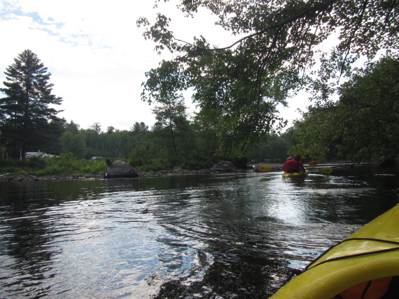
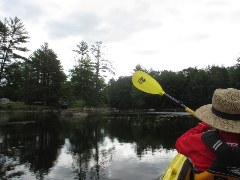
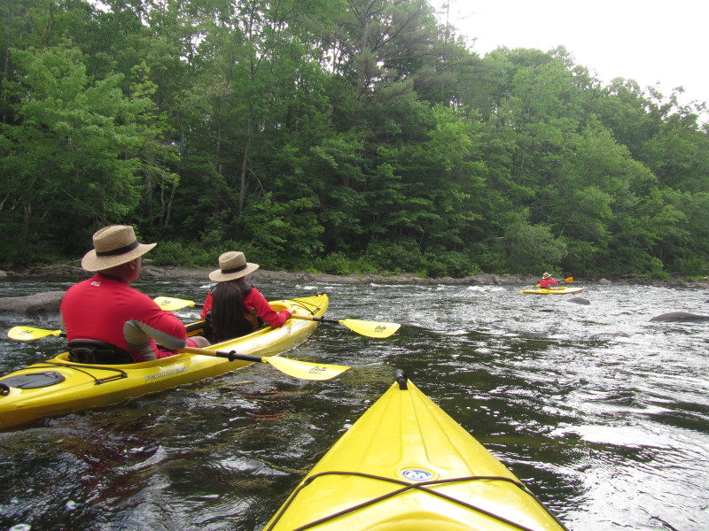
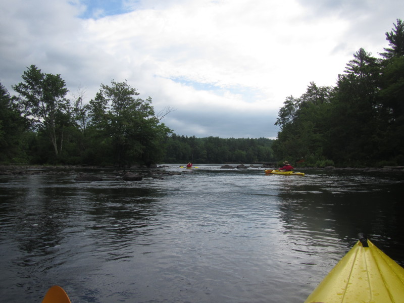
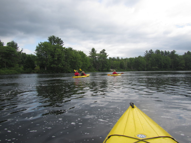
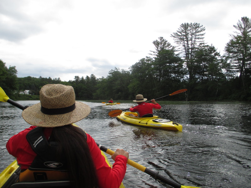
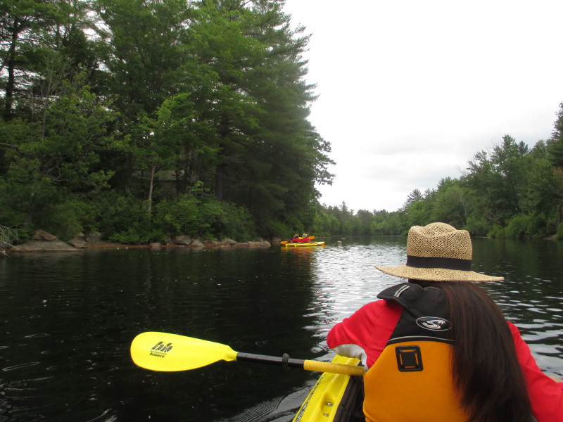
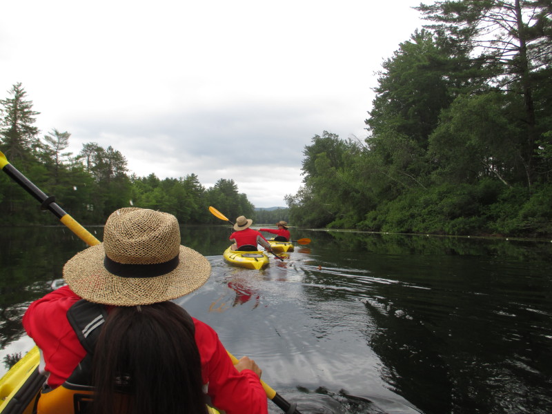
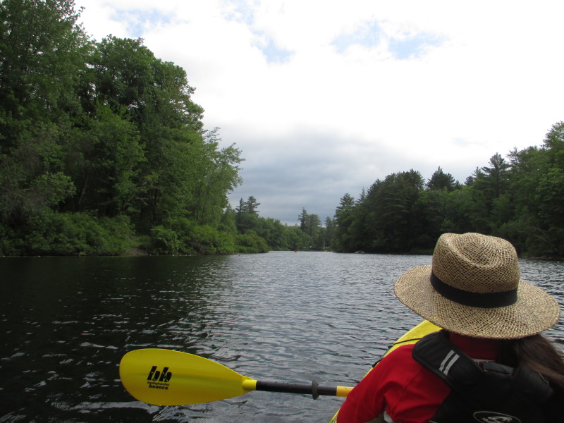
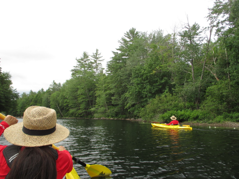
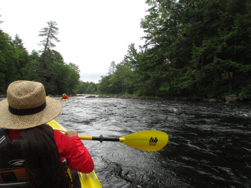
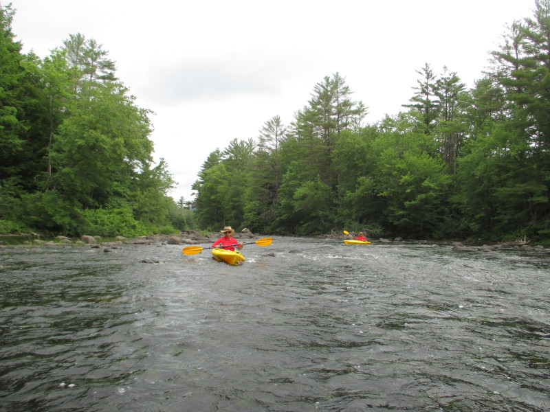
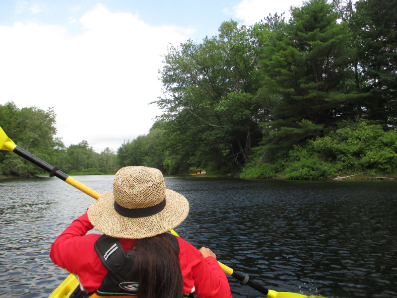
Veering to our right to follow the river flow downstream. 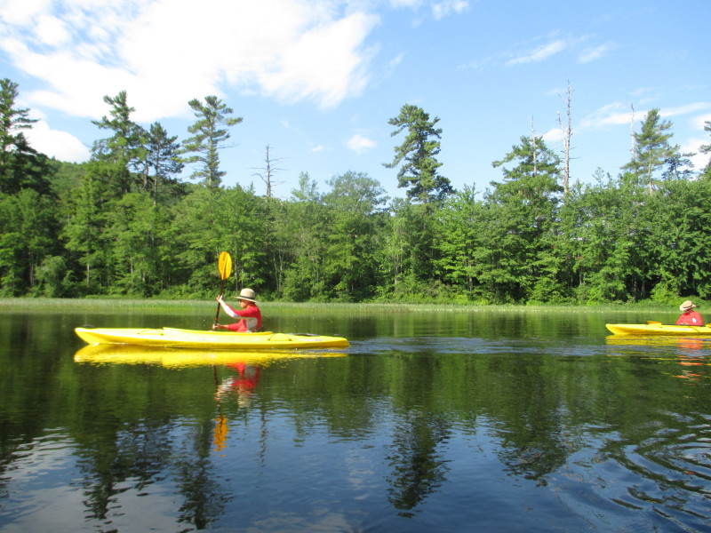
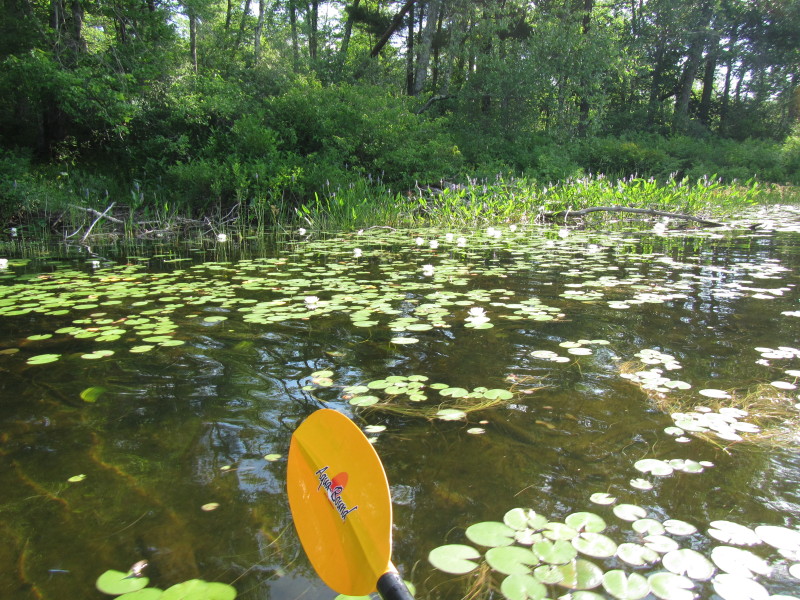 Waterlilies on Ossipee River.
 The Boston Kayaker's daughter.

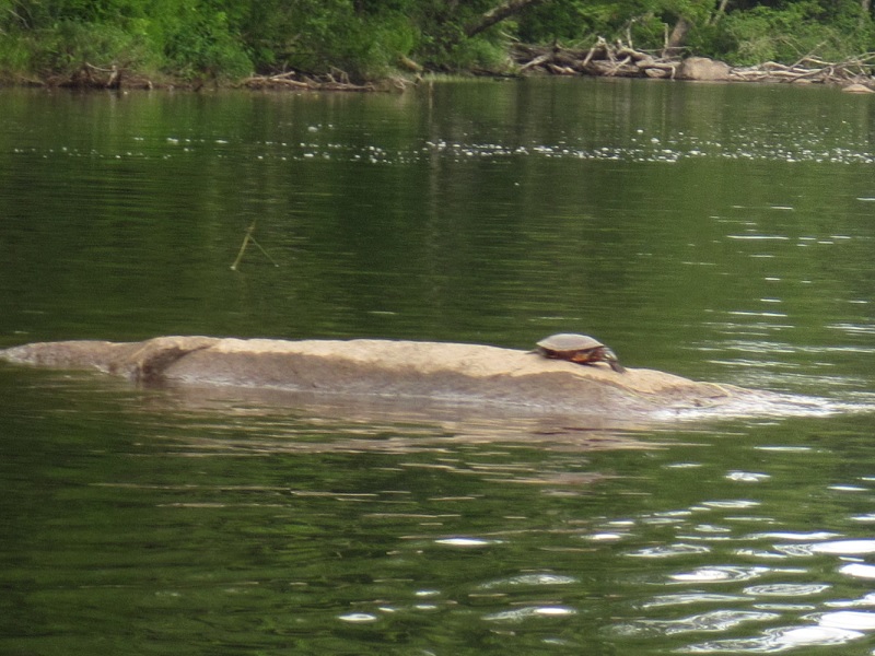 A turtle on Ossipee River.
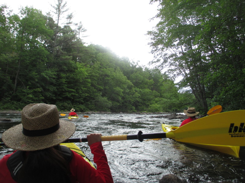
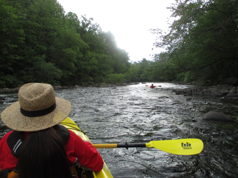
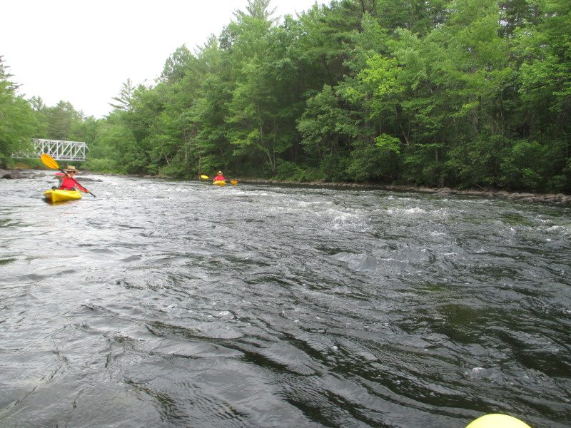
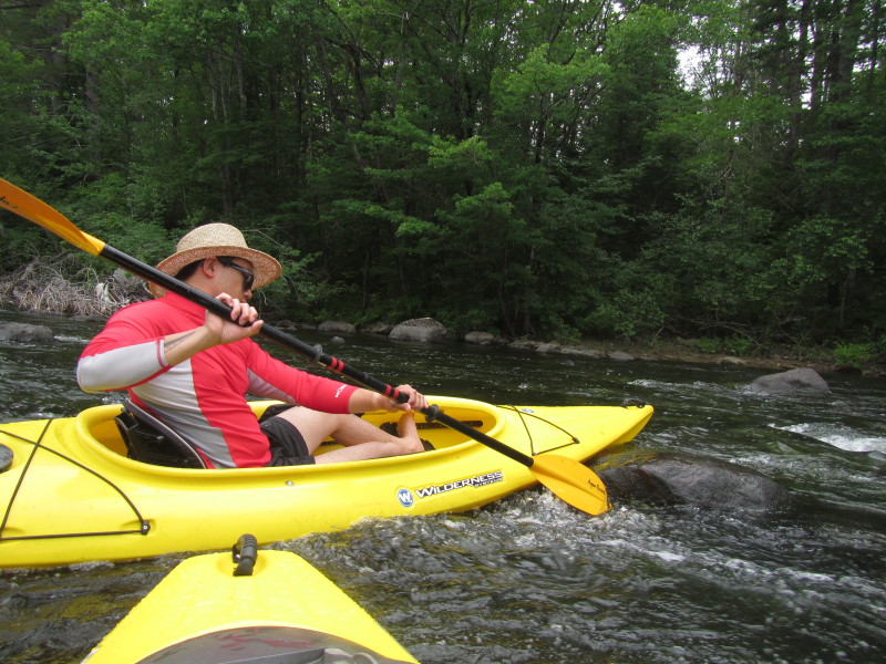
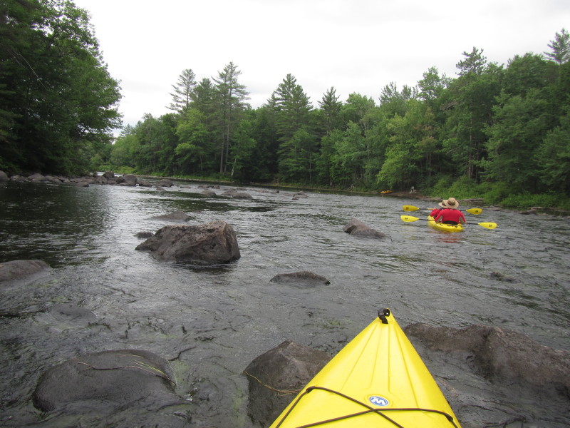
 Some rapids just before the railbridge.
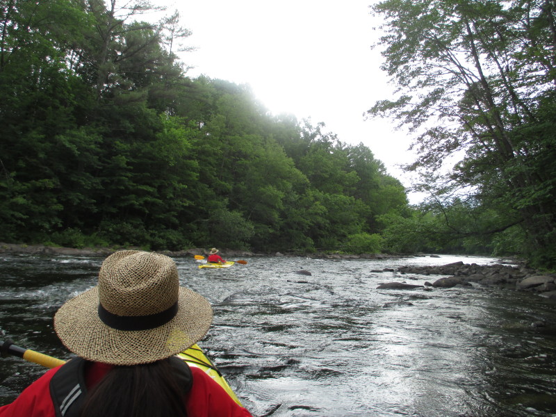
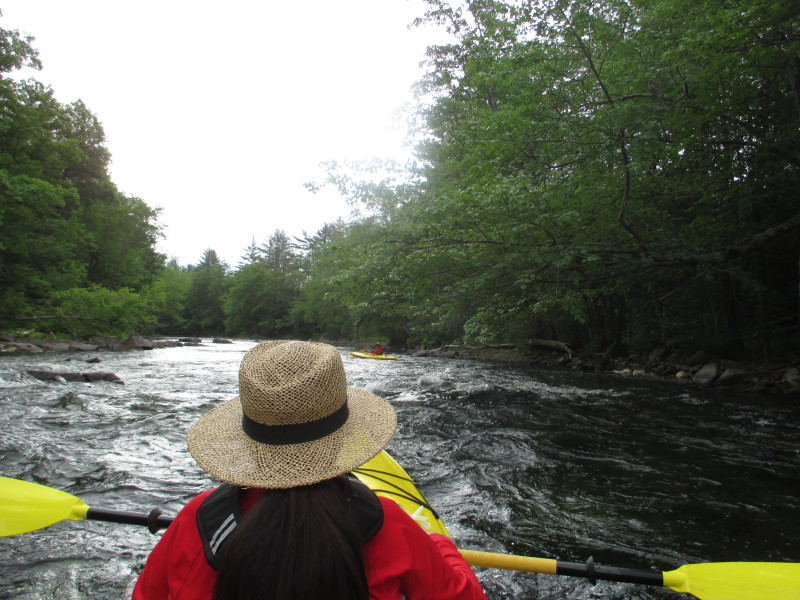
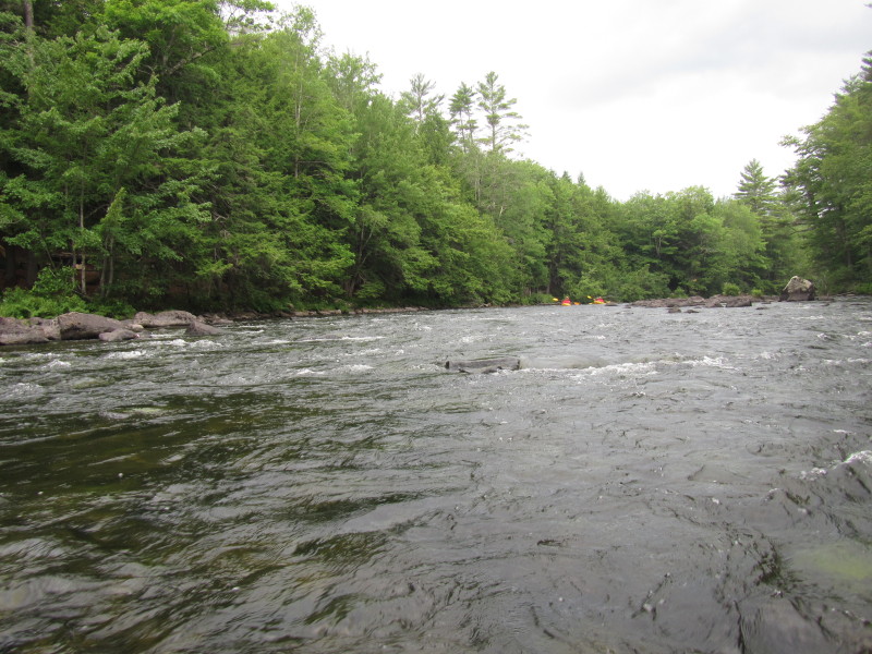
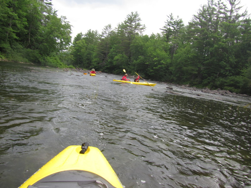
 More rapids downstream of the rail bridge.
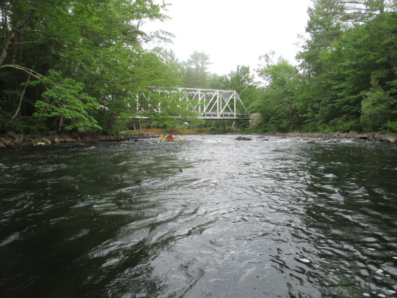 Looking baskwards behind me, my daughter with the bridge with just passed under.
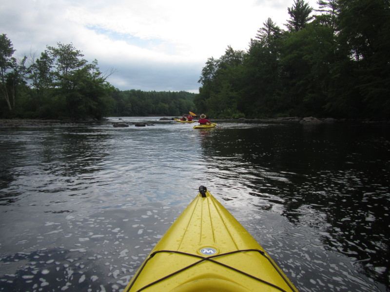
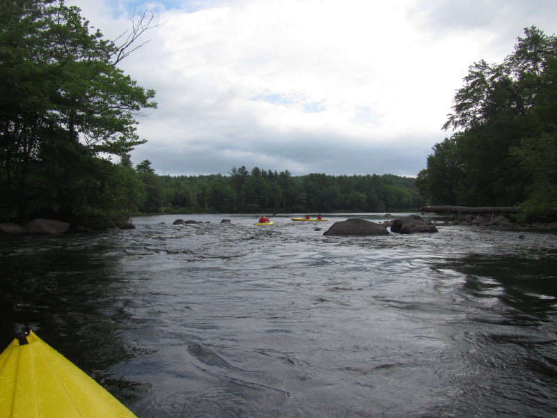
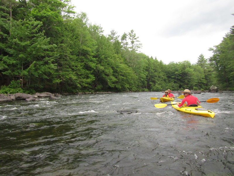
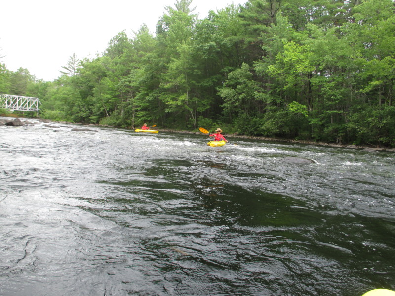 More rapids.
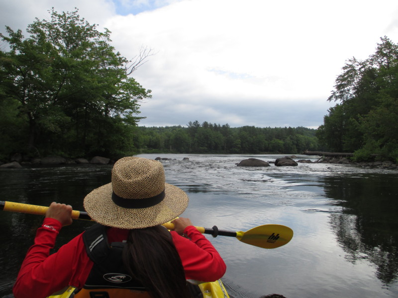
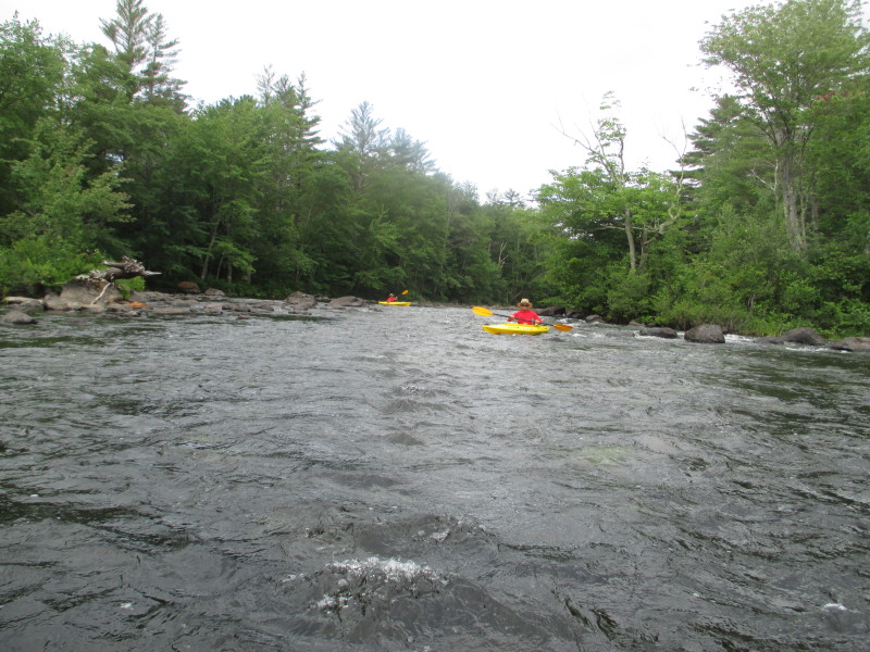
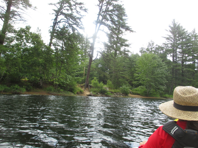
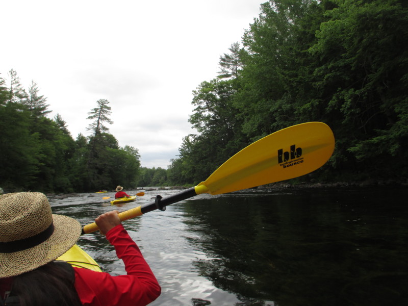
 Approaching another quickwater spot.
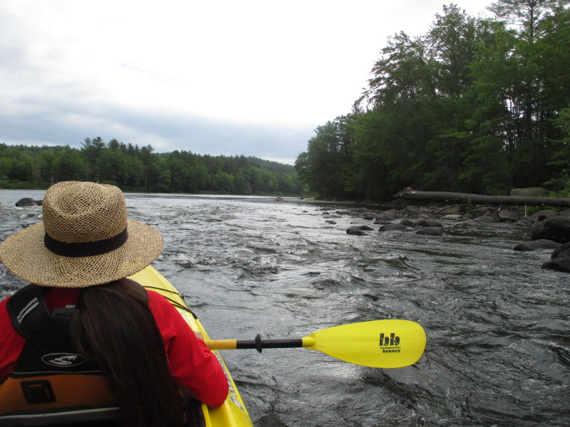
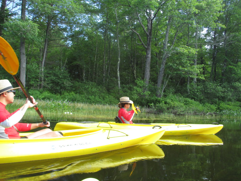
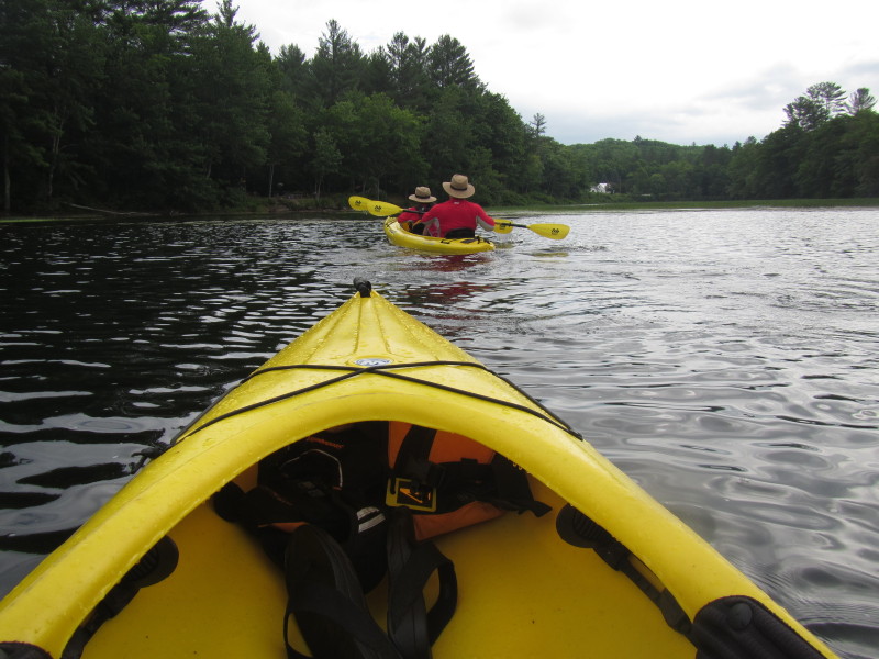
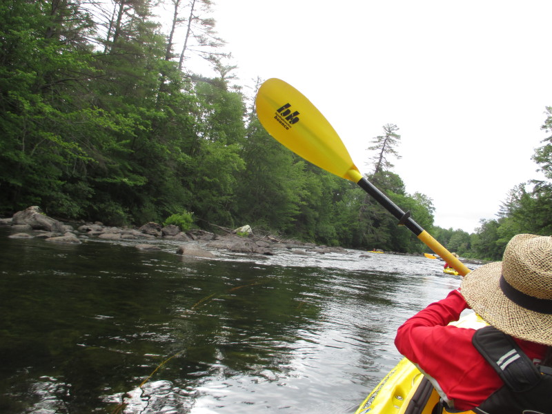
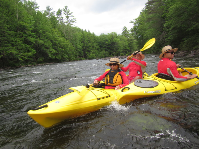
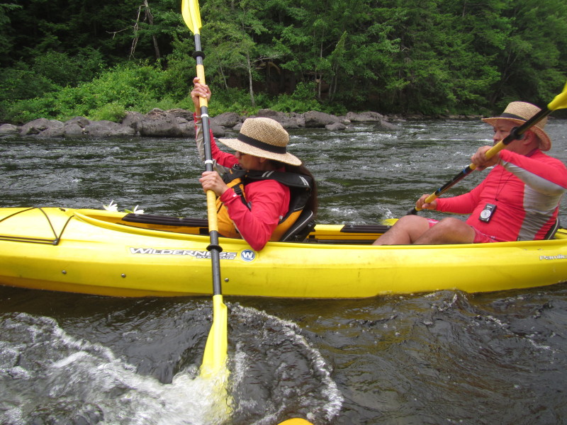
 I positioned our tandem kayak sideways to look at my son and daughter behind me (photos below).
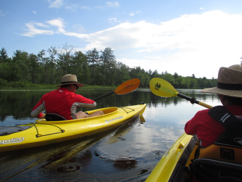
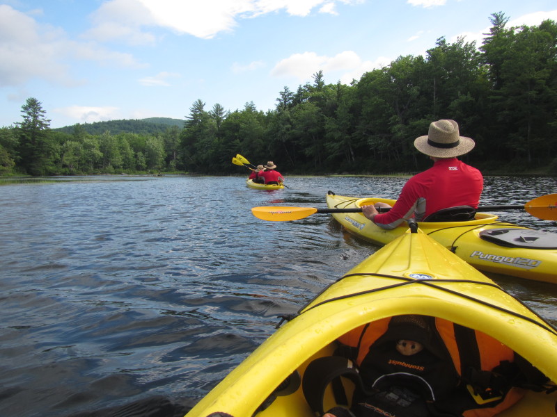
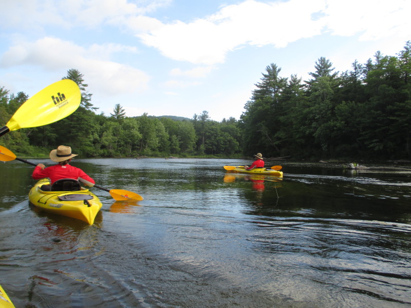
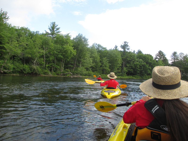
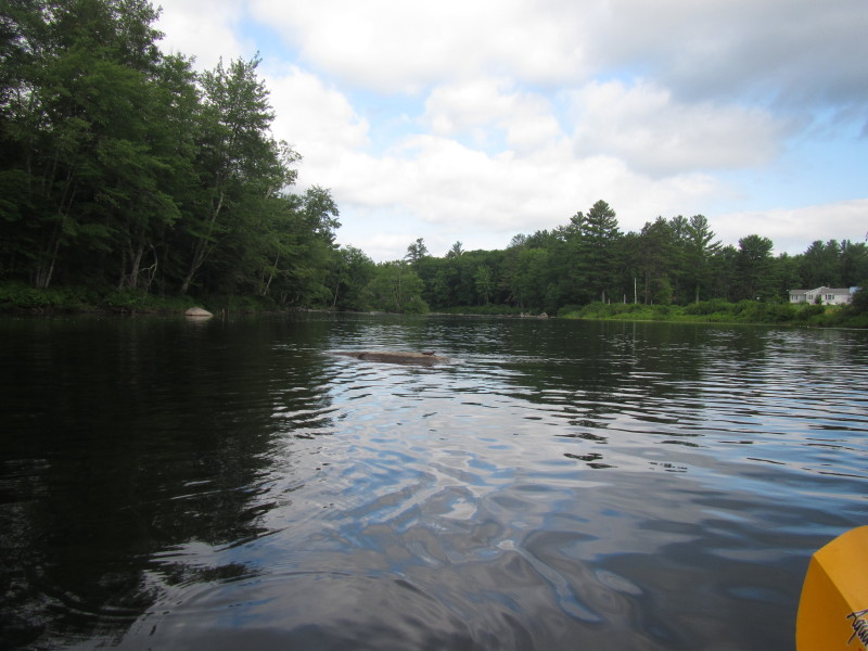
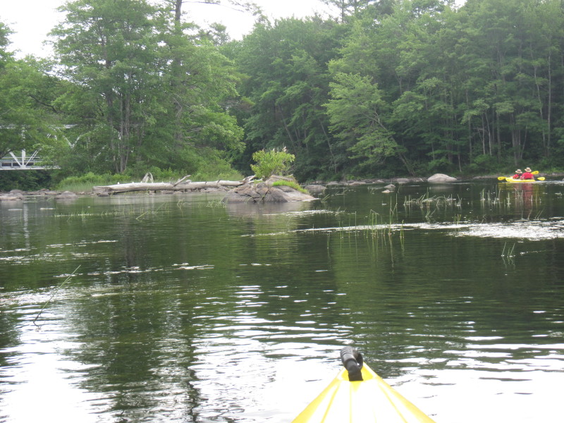
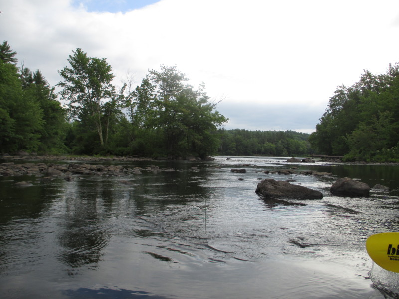
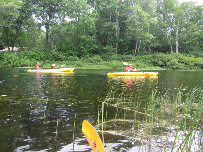
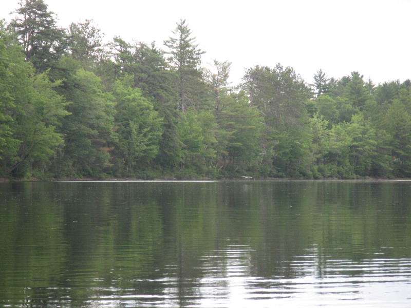
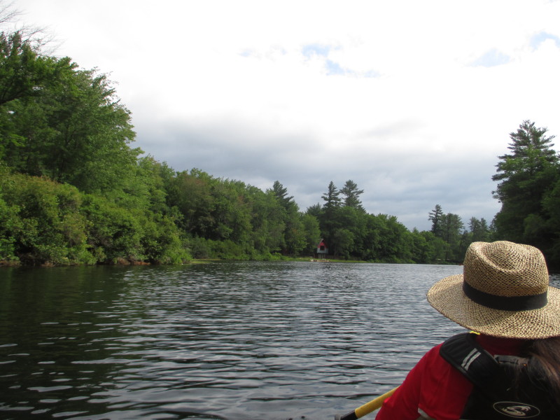
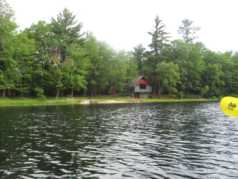
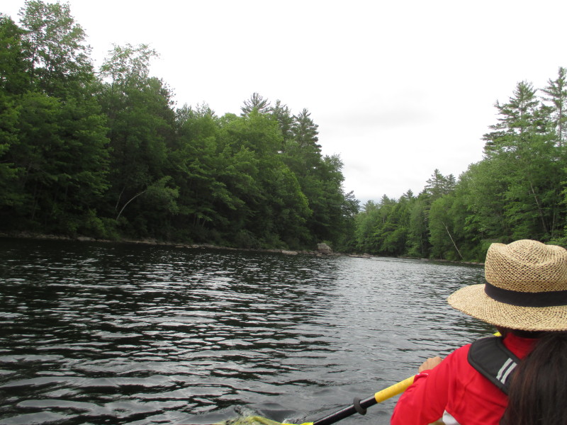
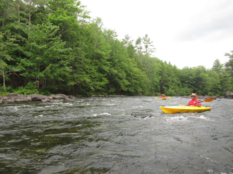
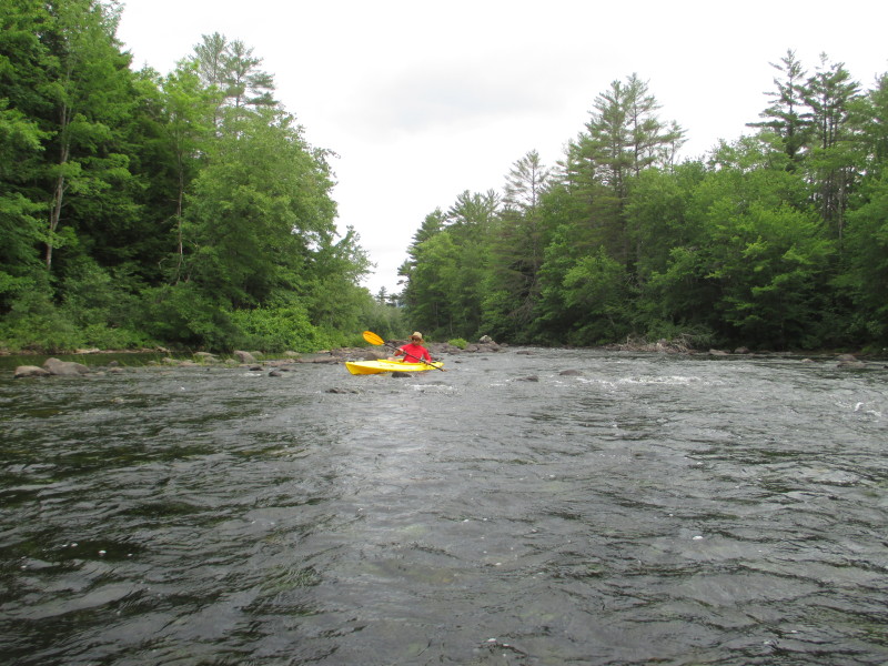
 Calmer waters.
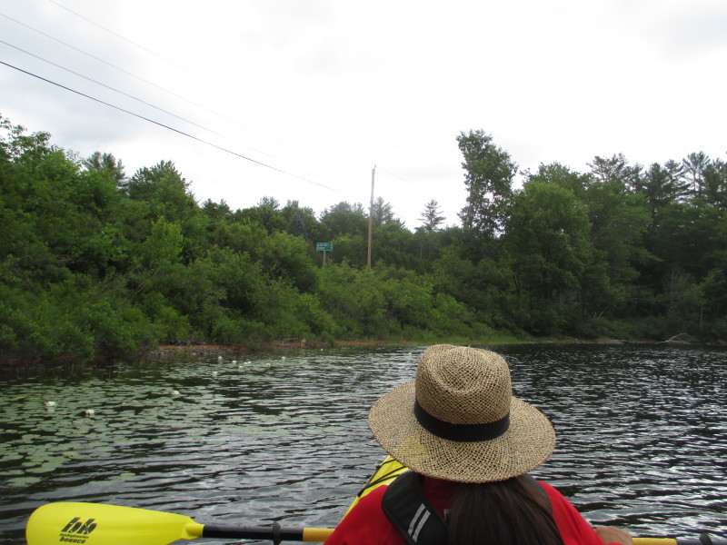
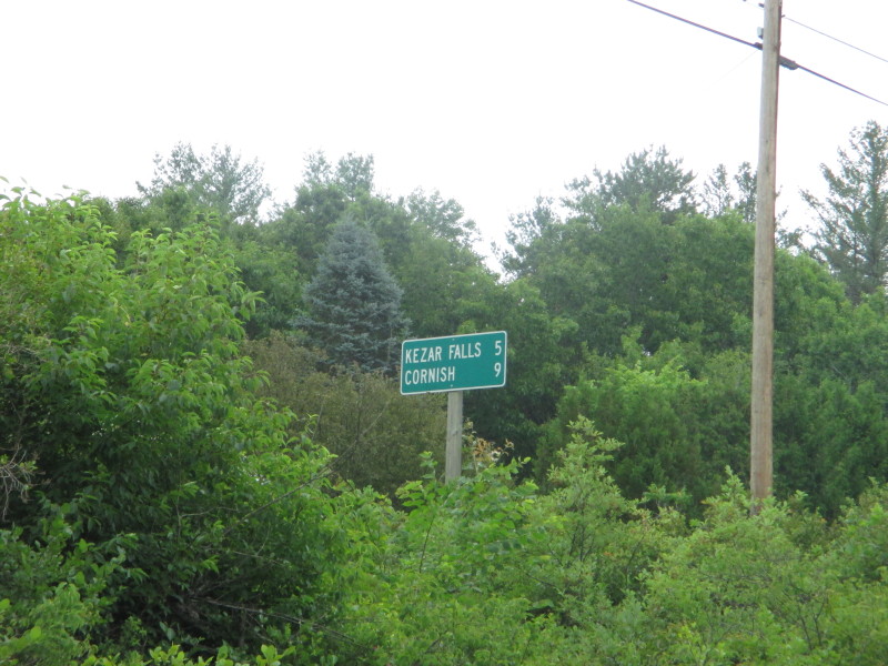 Road sign on Route 25 in Freyburge, Maine.
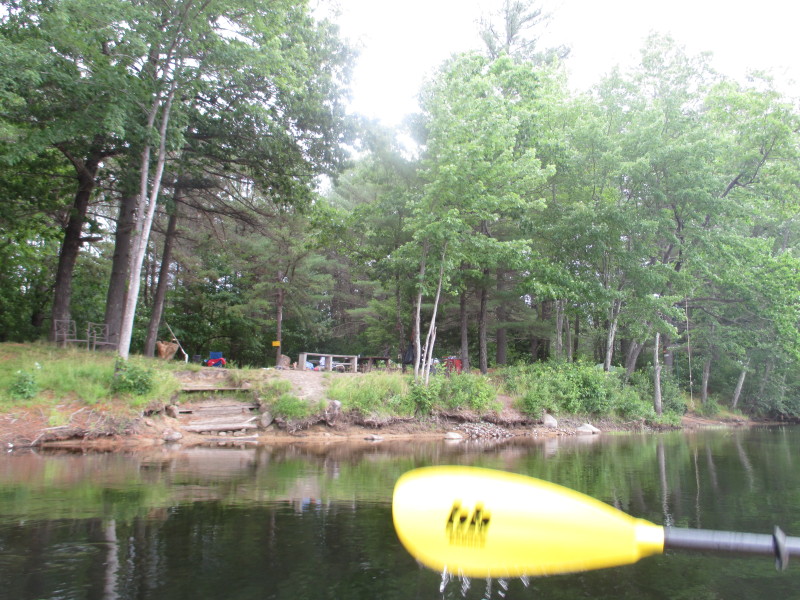
KEZAR FALLS 5 CORNISH 9 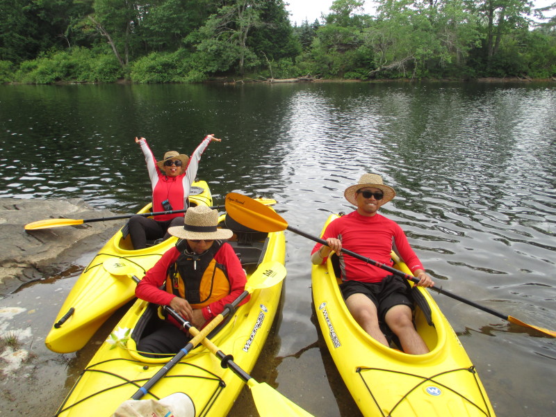 Landed for a short break.
 A blue heron in flight over the Ossipee River.
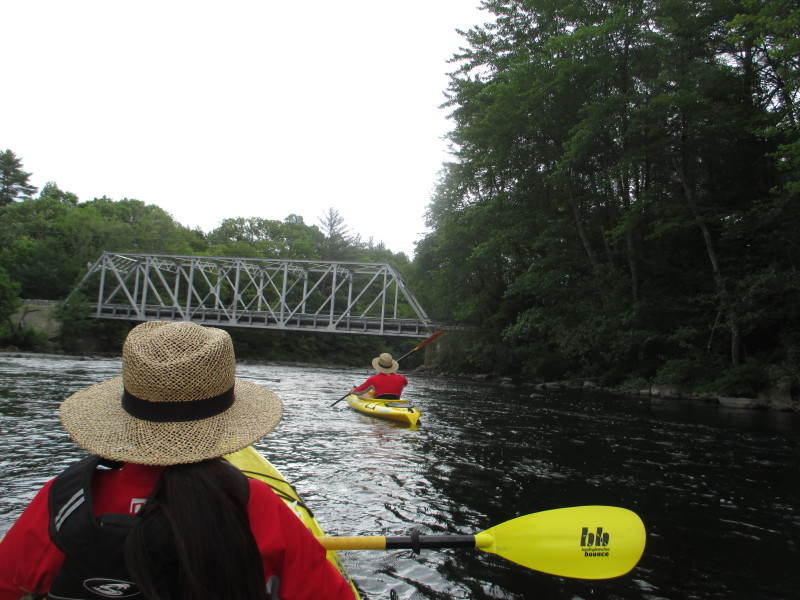
 To our left is Route 25.
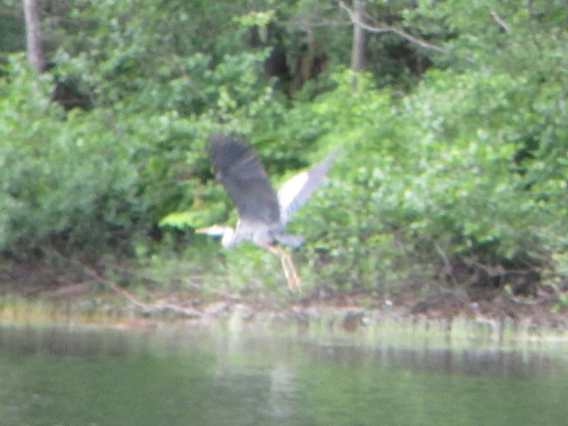 The resident blue heron in flight over Ossipee River.
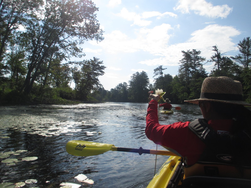
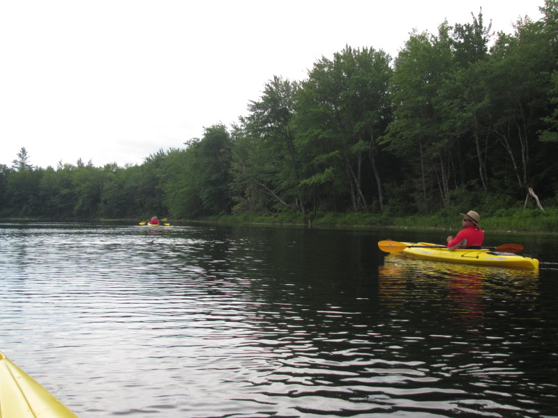
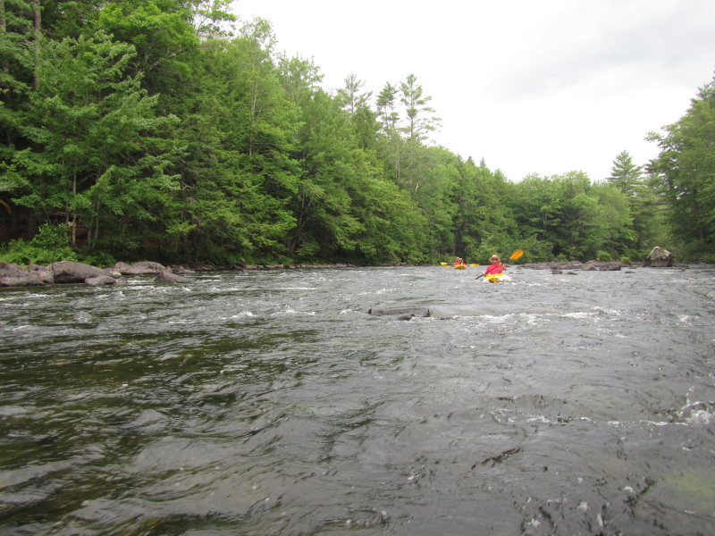
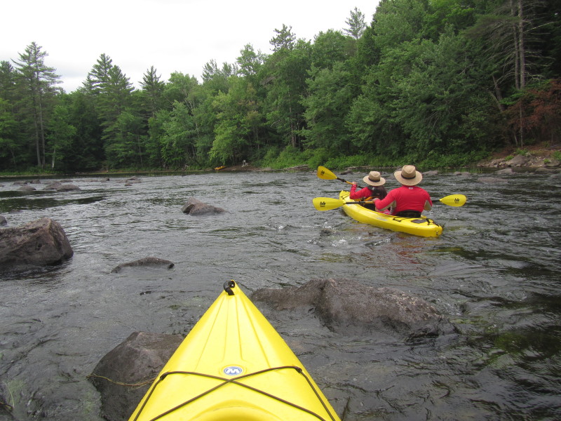
 My daughter was ahead of the group and now downstream of the rapids and paused to take photos.
 My son got stuck on rocks on Ossipee River.
 We got stuck too and got impaled on top of a rock!
 Backing out of the rocks.
 Us too, backing off this rock.
 Another tight spot.
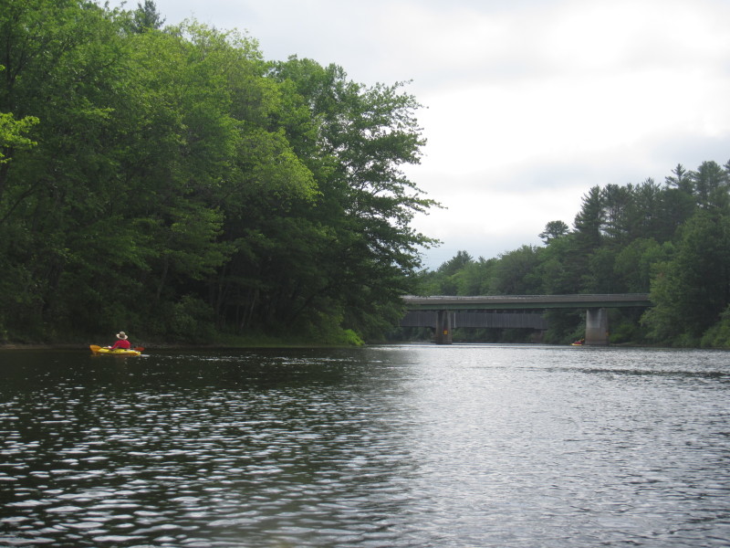
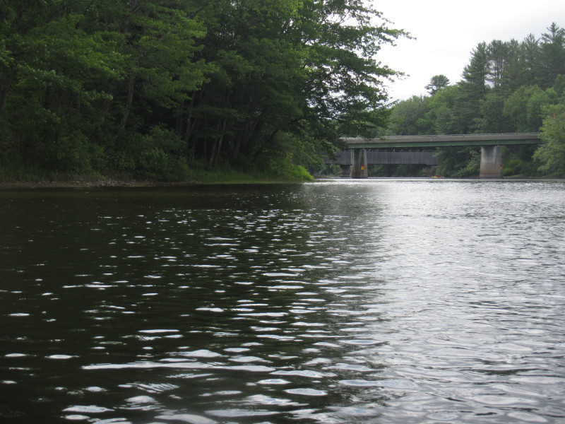
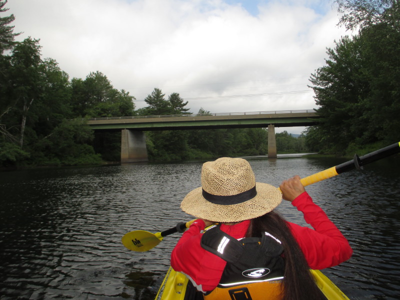
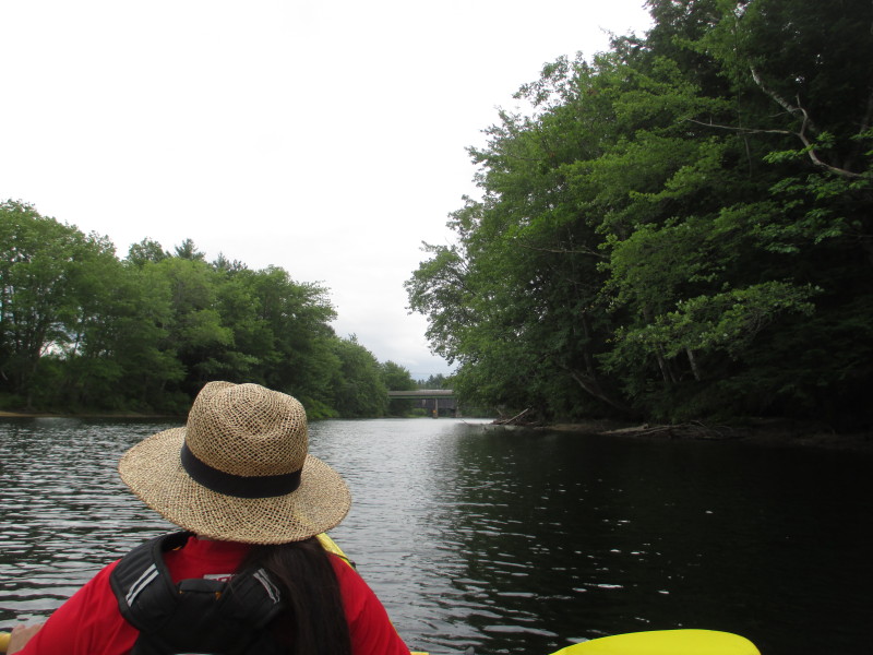 The Route 160 bridge is now in sight. Take out is on river left before this bridge.
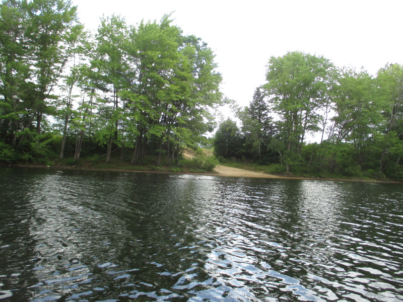 Our take out spot. Going past this to have pictures of the covered bridge.
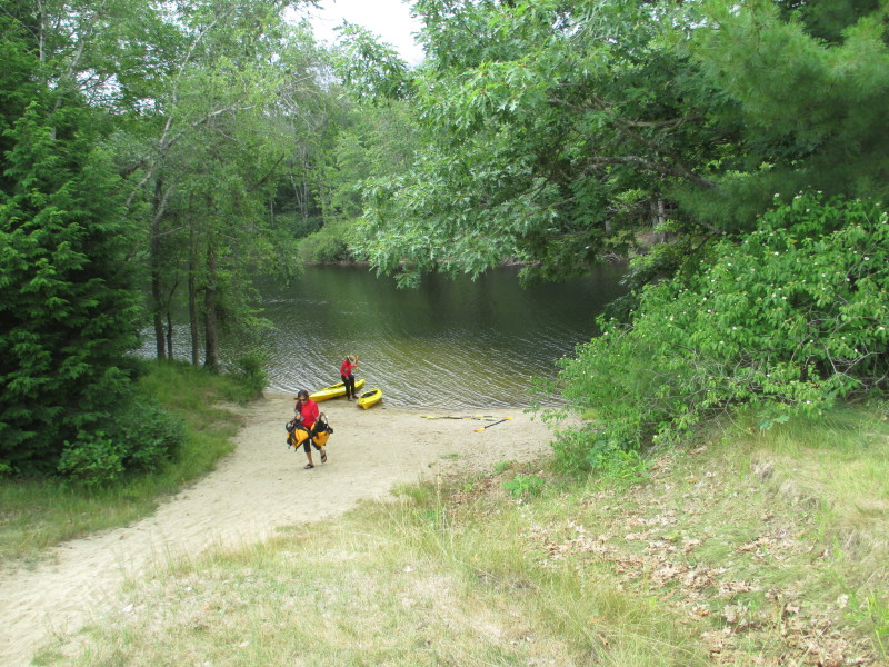
 My son and daughter will take out now.
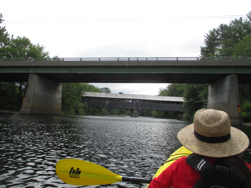 Just downstream of the Route 160 bridge is the Porter-Parsonfield Covered Bridge.
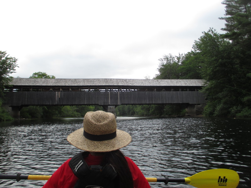 After passing the Route 160 bridge and now approaching the Porter-Parsonfield Covered Bridge.
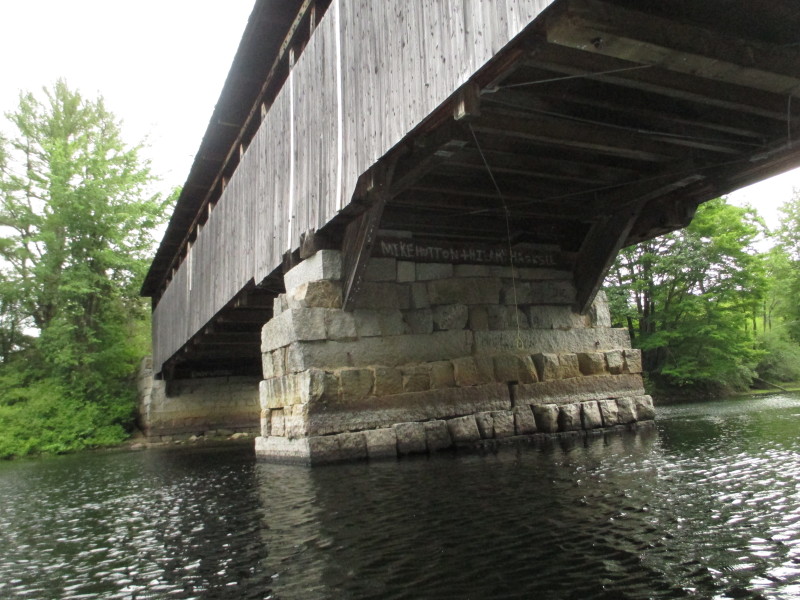
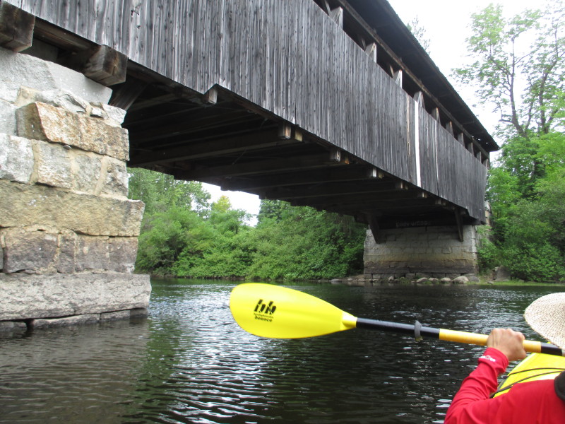
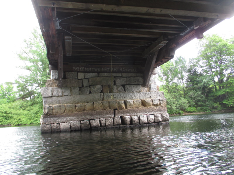 We are taking a U-turn around this center pillar of the covered bridge on our left.
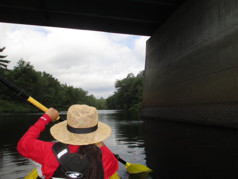
 Now turned around and paddling to our takeout.
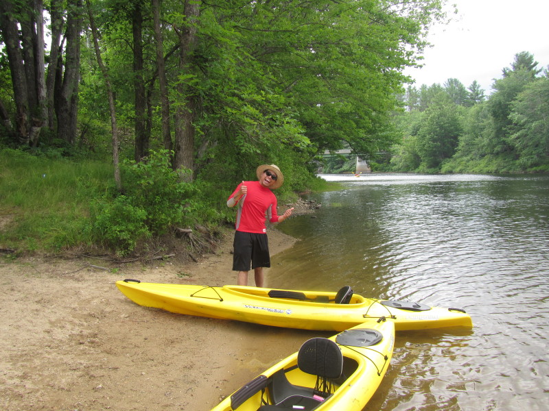
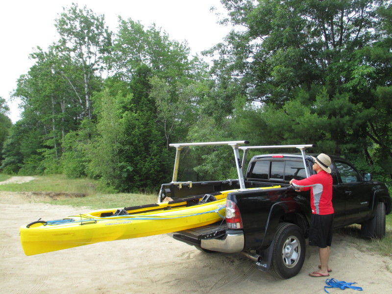 Paddle time is exactly 2 hours.
|