 Kayaker

| |||||||||||||||||||||||


|
Download printer-friendly
PDF version that fits in one page: |

|
|
Other resources:
All photos in this website are original and copyrighted. 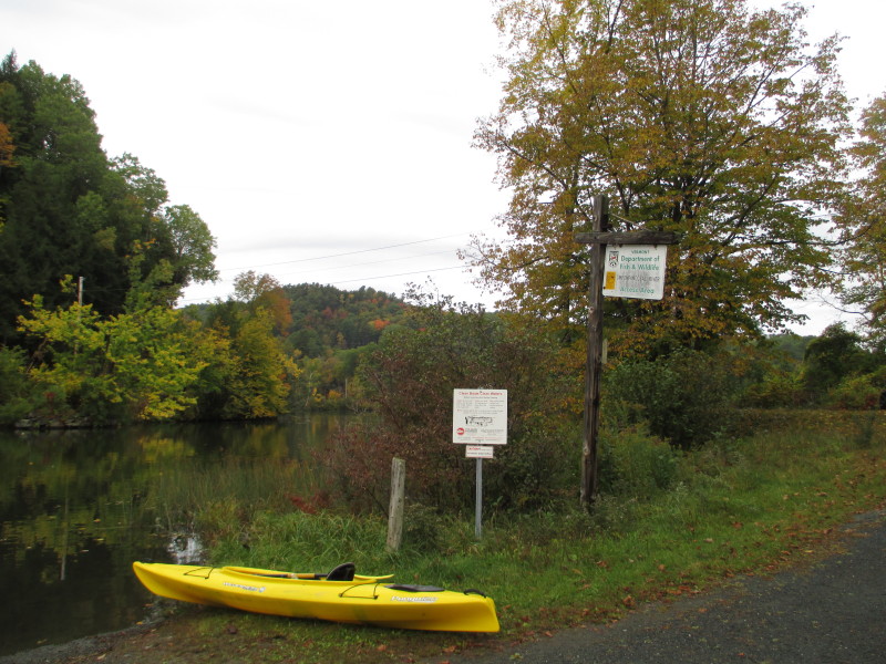
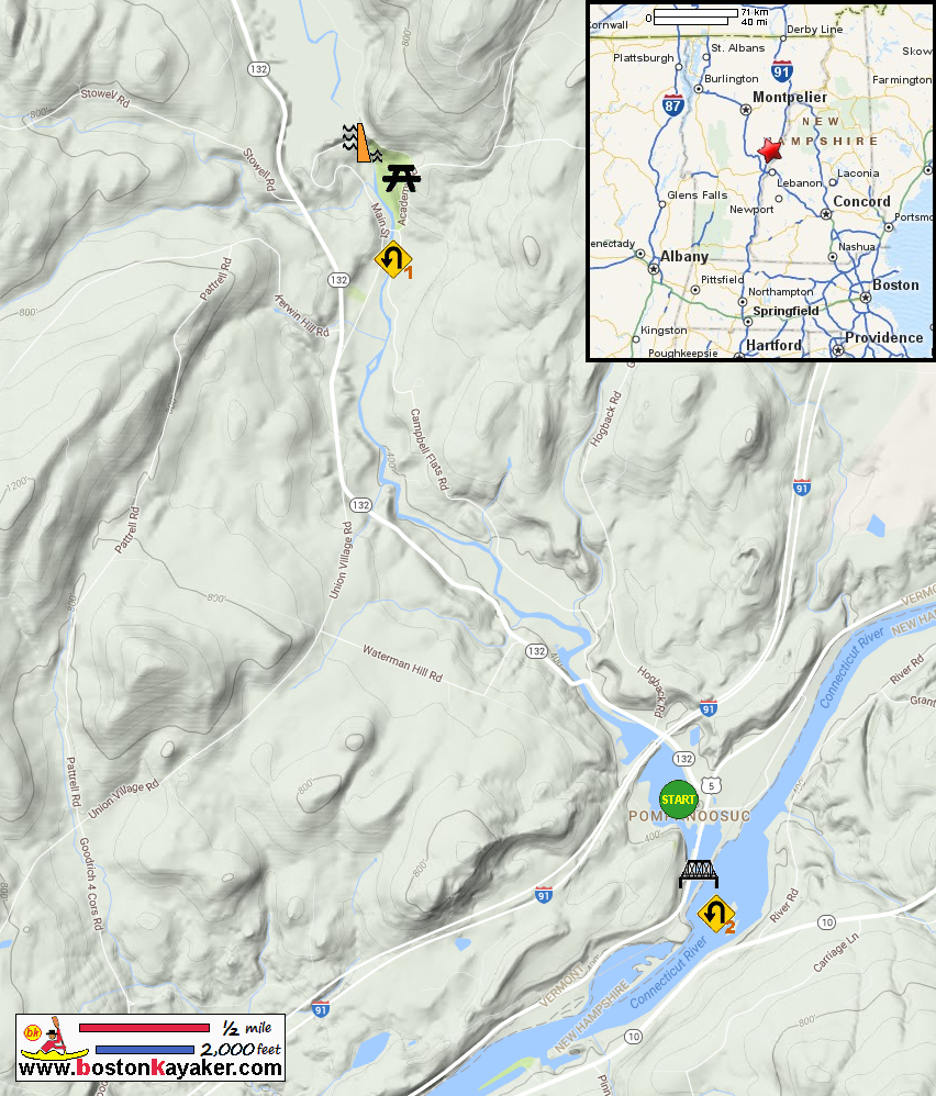
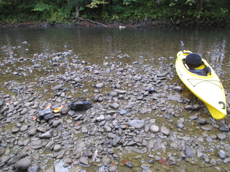
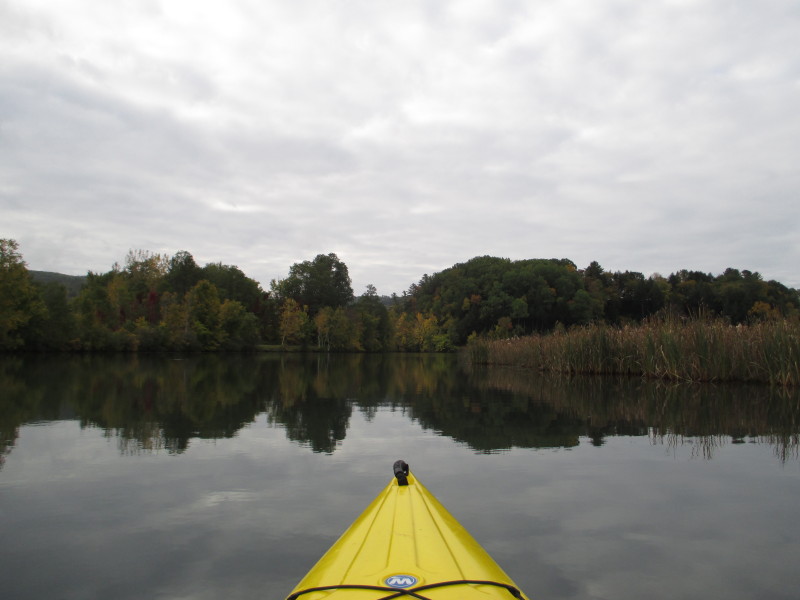
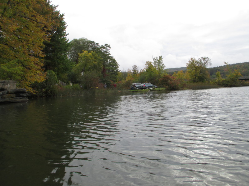
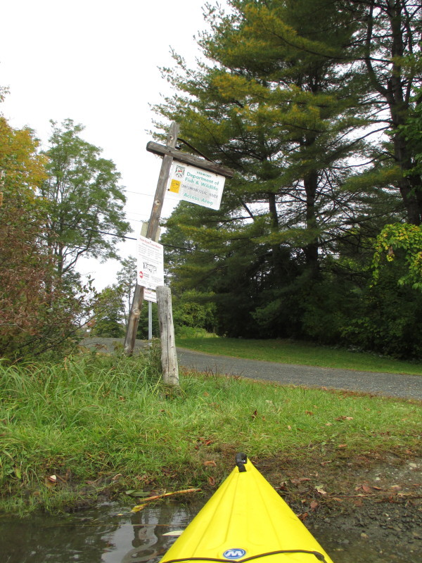
At the Ompompanoosuc River launch on Old Bridge Road in Norwich VT. Trip date is October 2016. 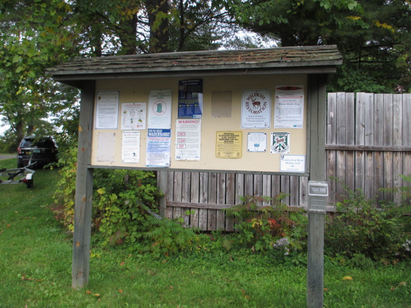
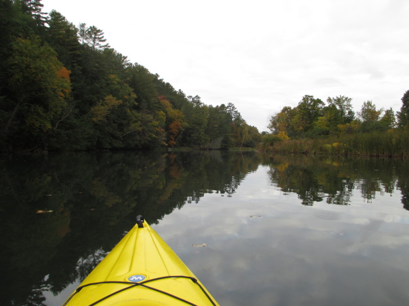
 The Boston Kayaker just launched into the Ompompanoosuc River.
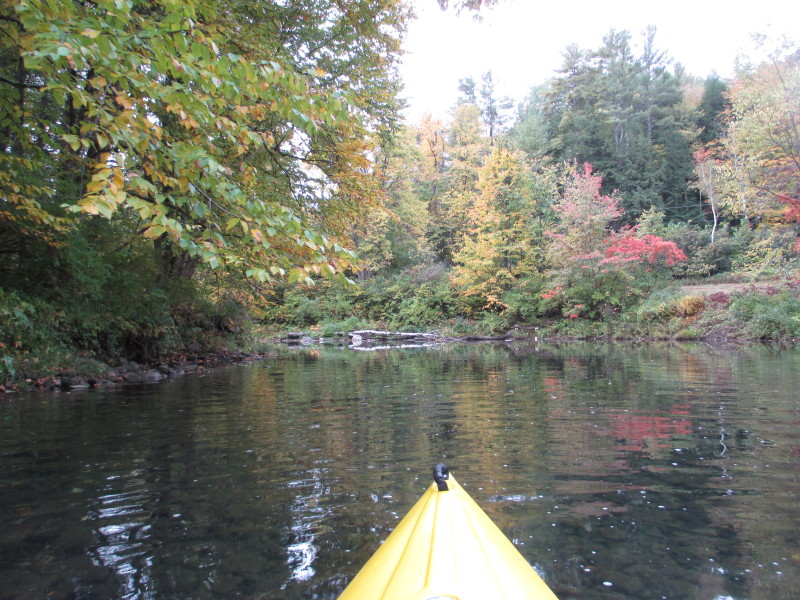
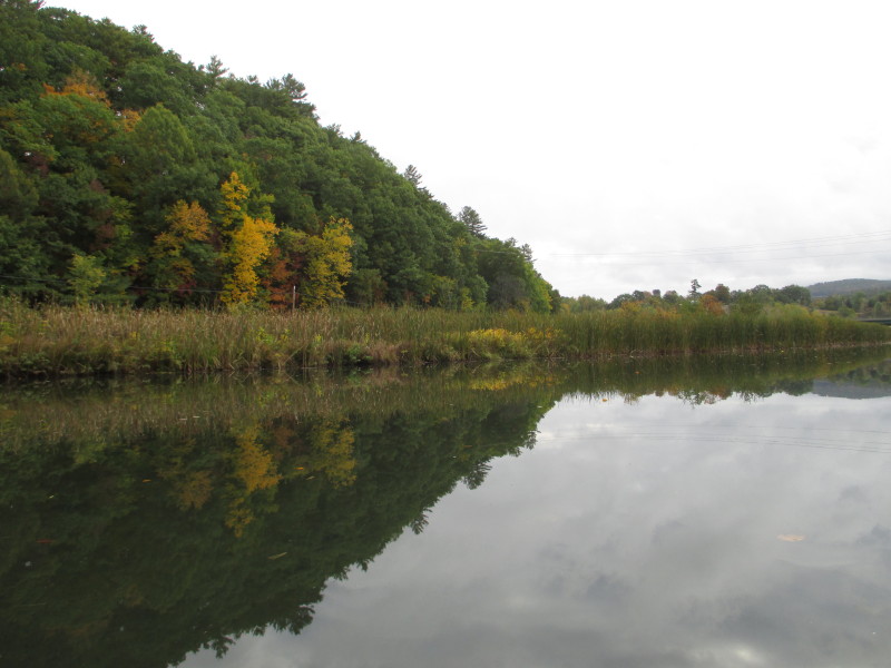
At left of the put in (south) is the Route 5 bridge. 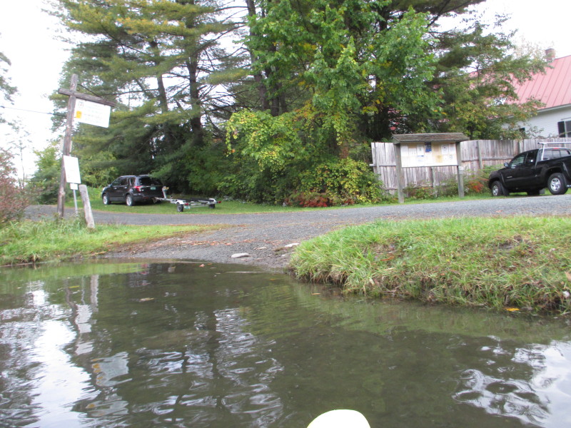 Turning to my left to paddle upriver.
At left is where I just launched. 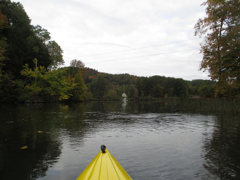
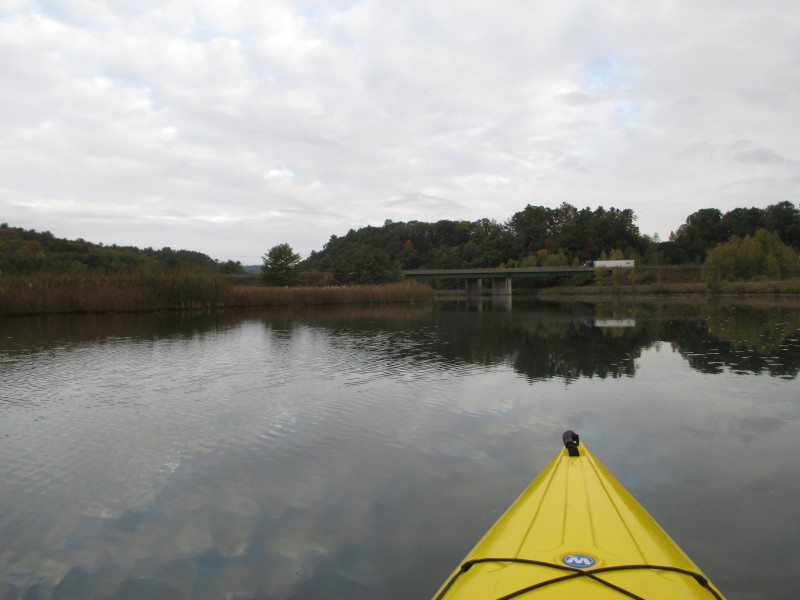
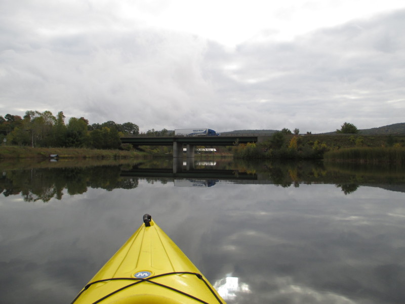
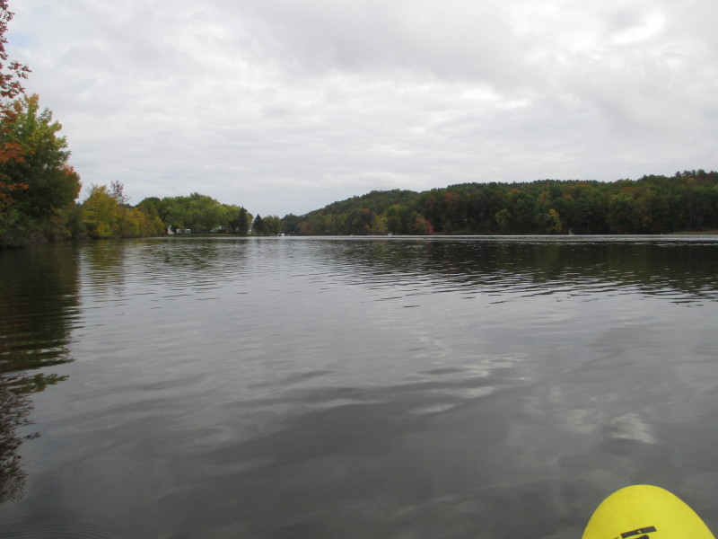
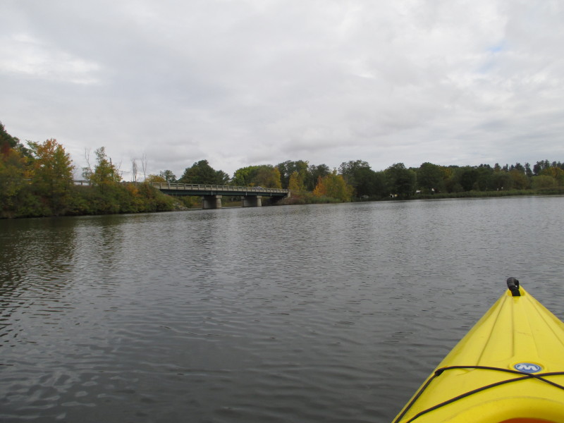
 I can now see the I-91 bridges.
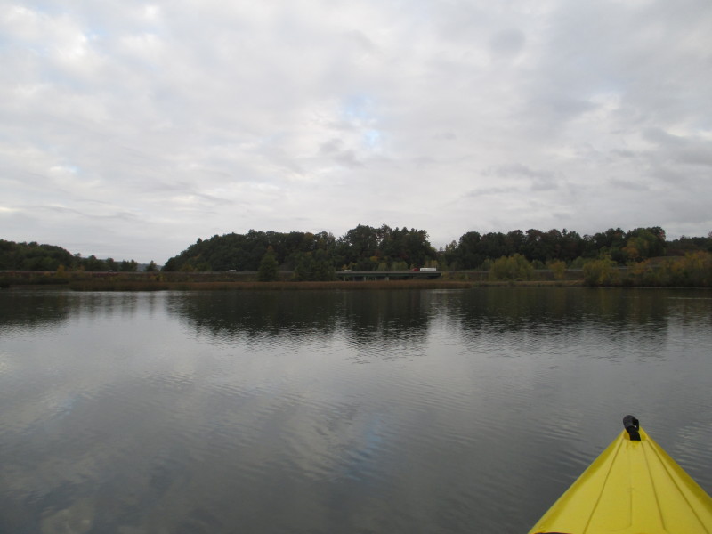
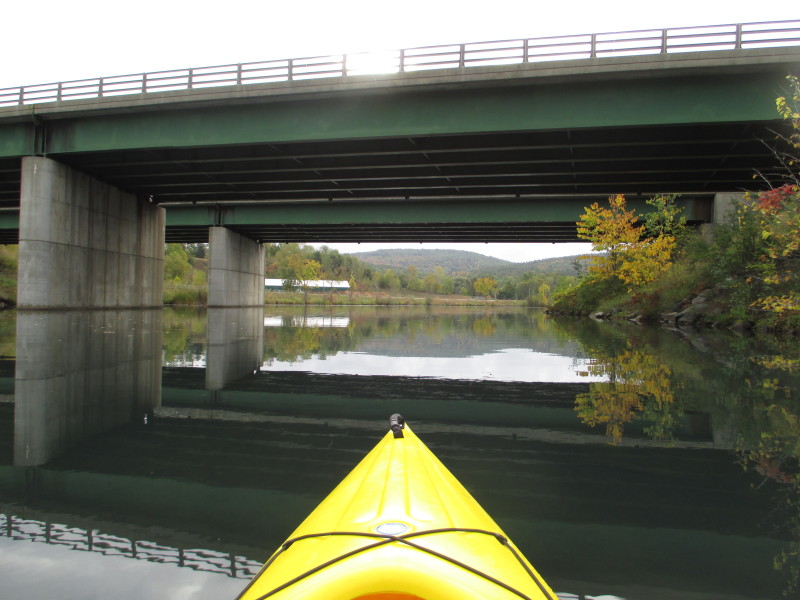
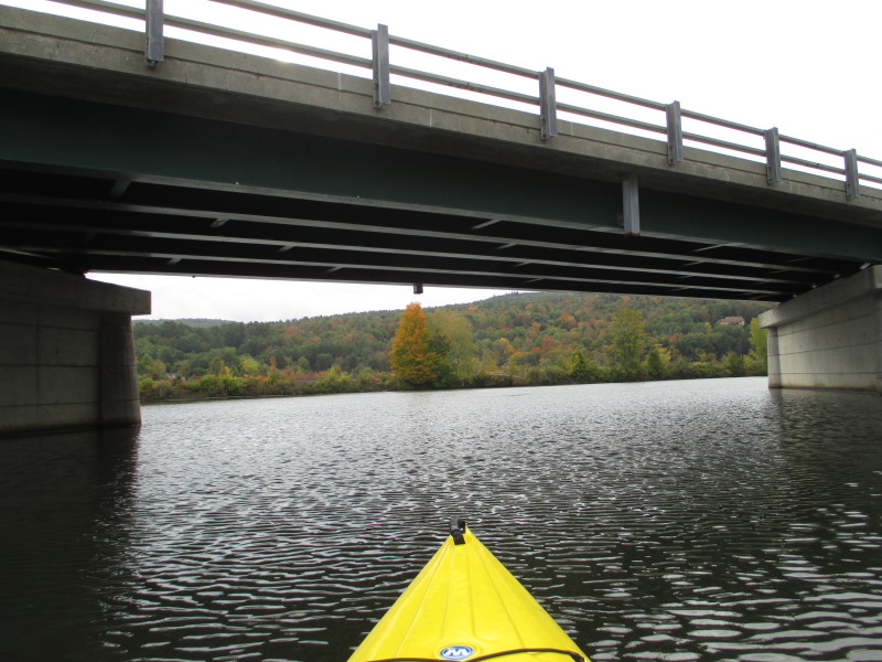
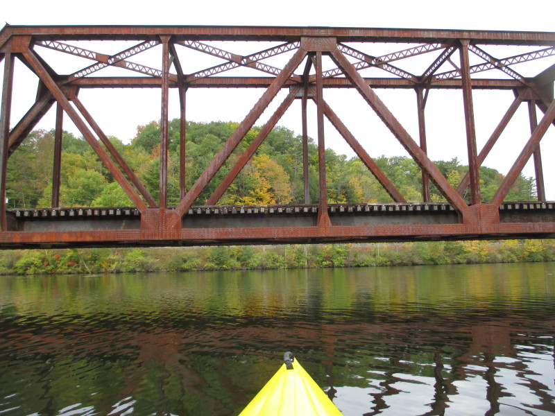
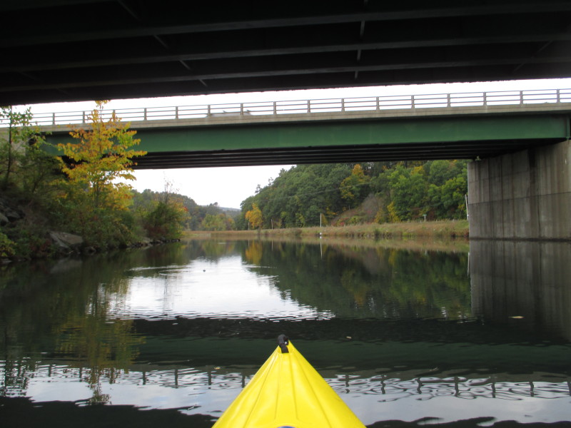 Passing under the I-91 bridges over the Ompompanoosuc.
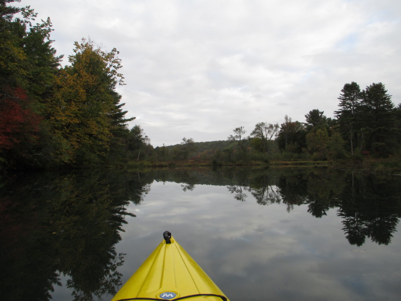
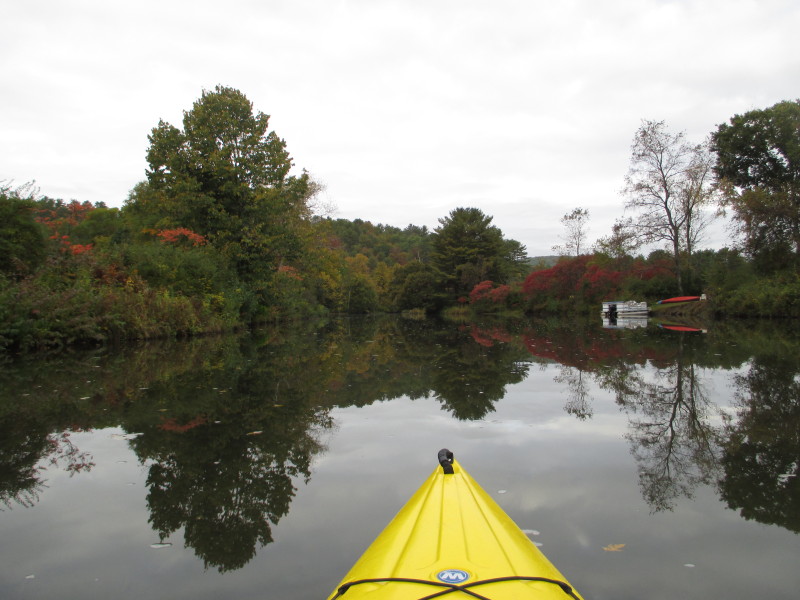
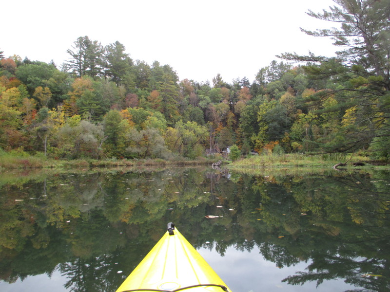
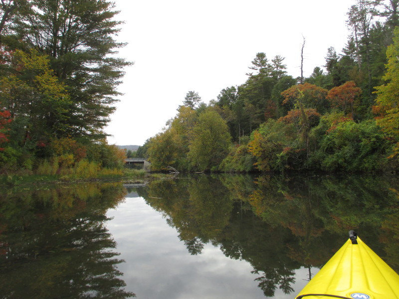
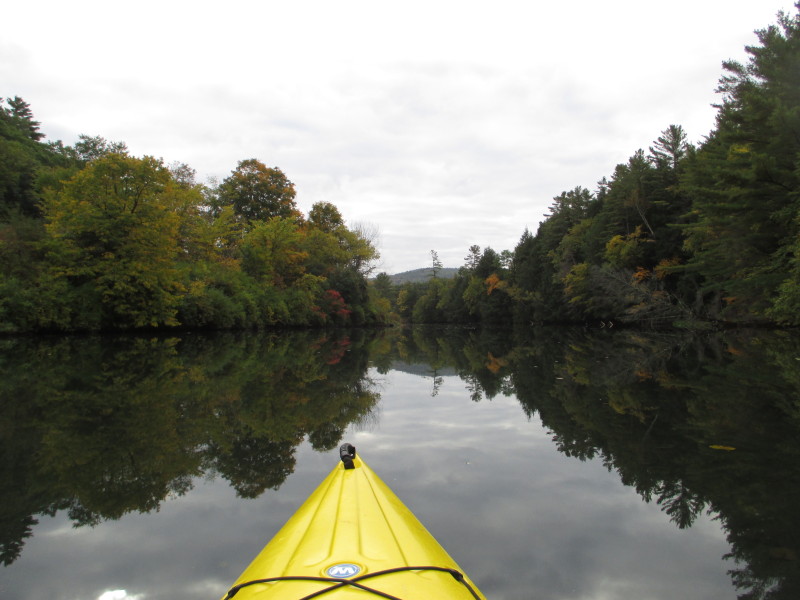
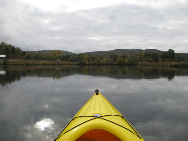
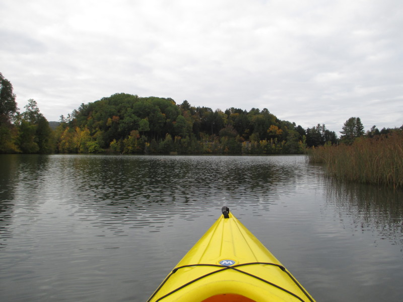
 Now north of the I-91 bridges, Route 132 on the right (east) bank.
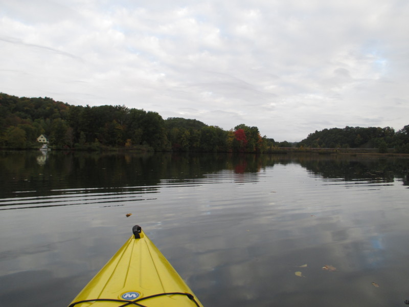
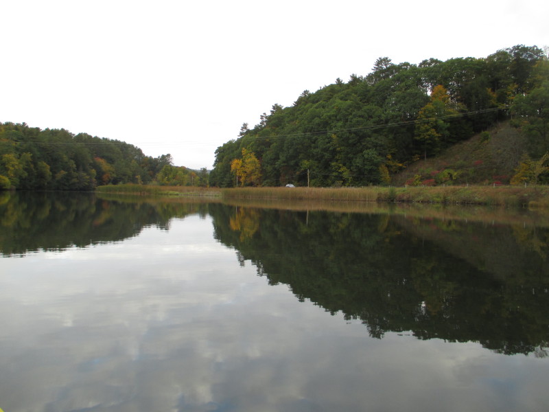
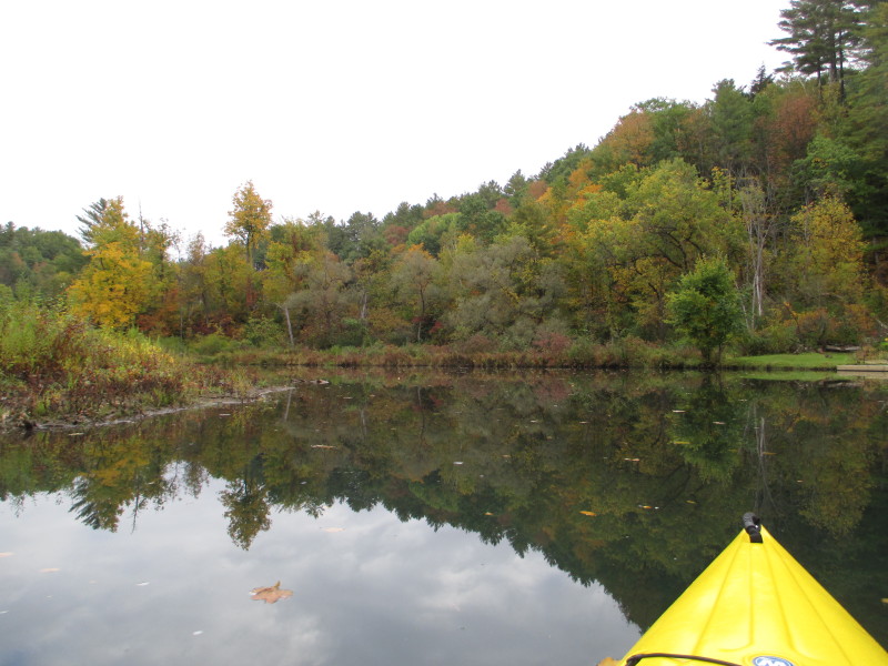
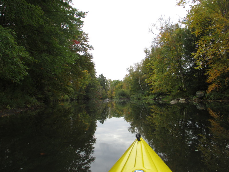
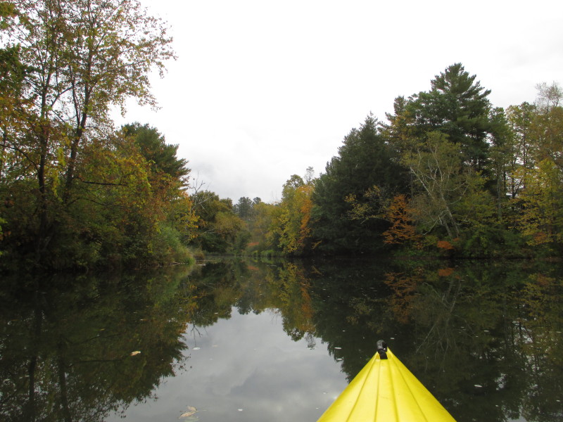
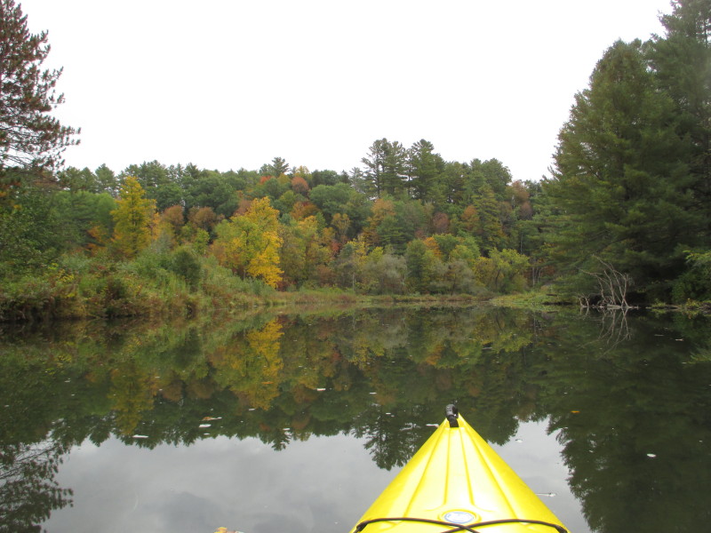
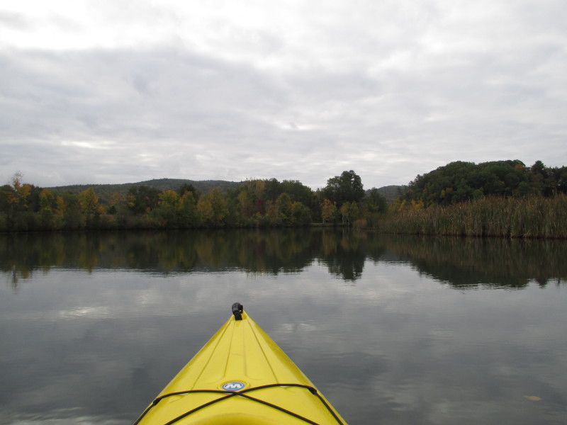
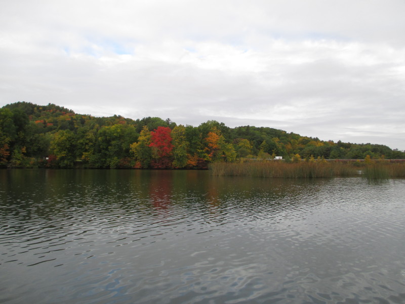
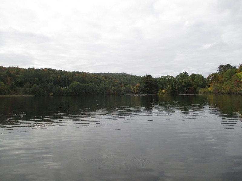
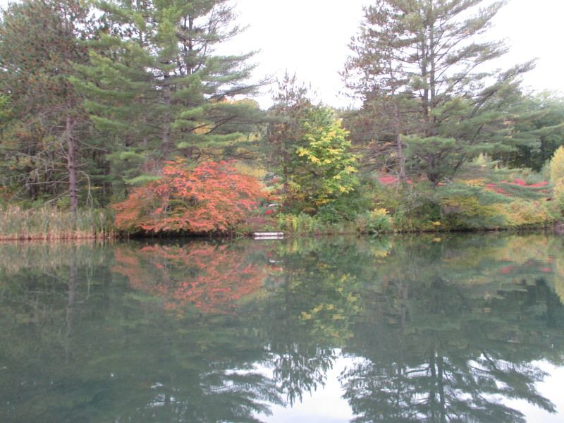 Autumn colors not yet at its peak.
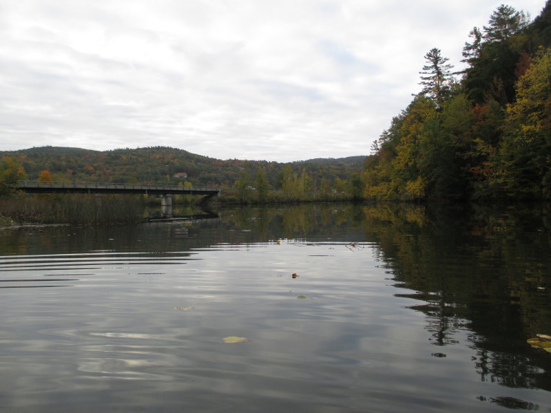
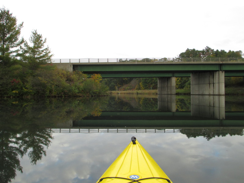
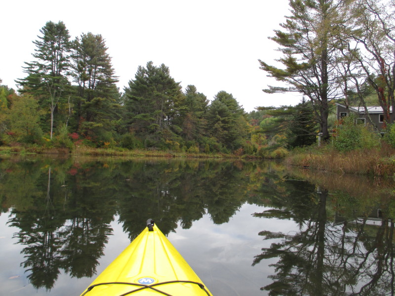
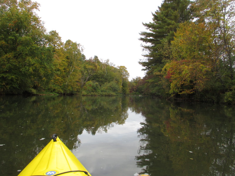
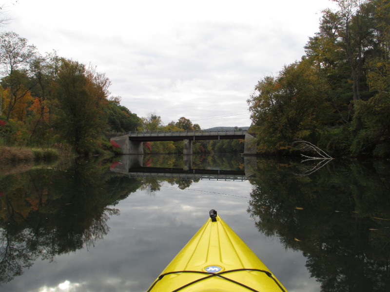
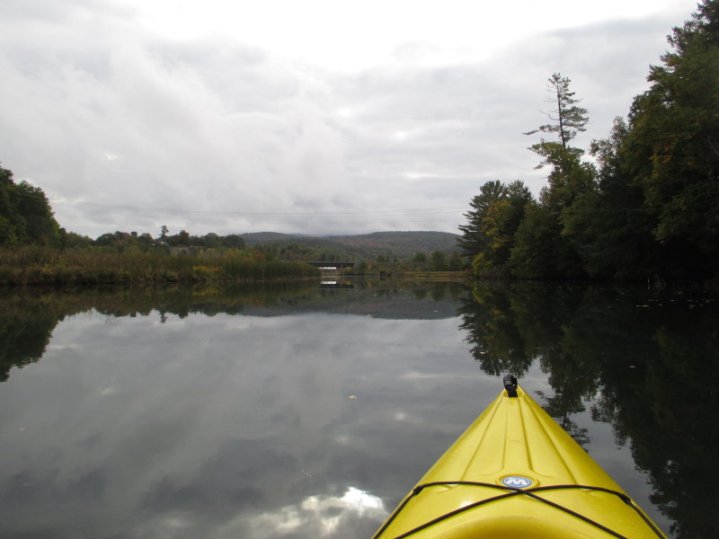
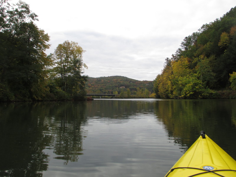
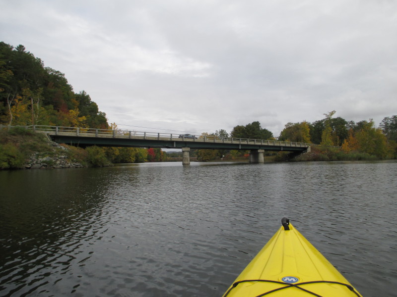
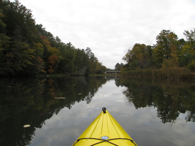 Approaching the Route 132 bridge.

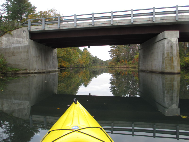
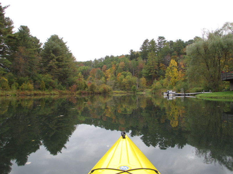
 Just passed the Route 132 bridge . . .
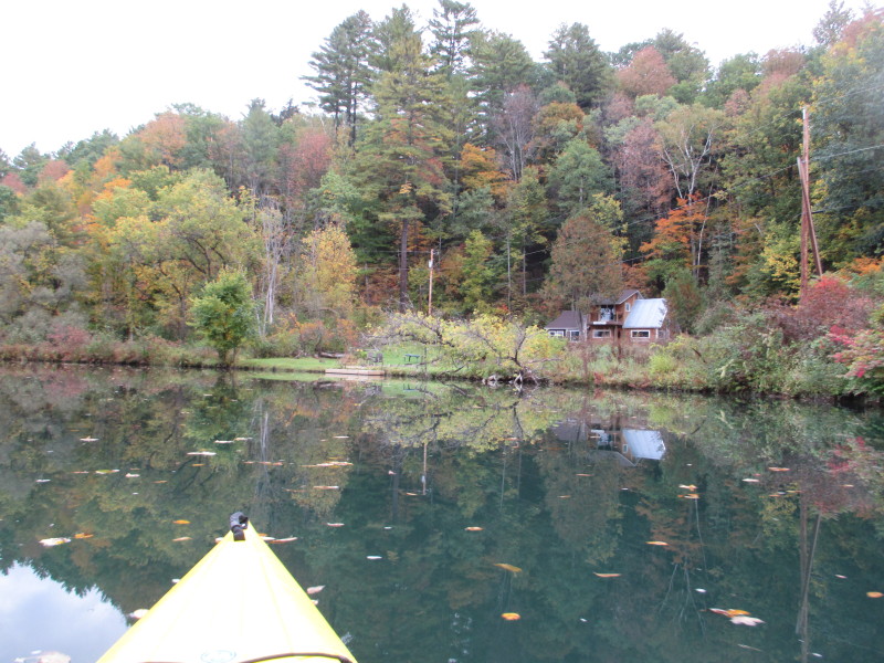
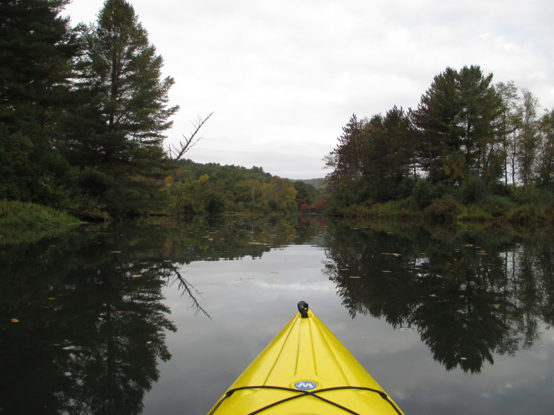
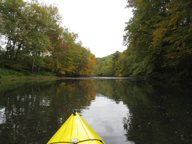
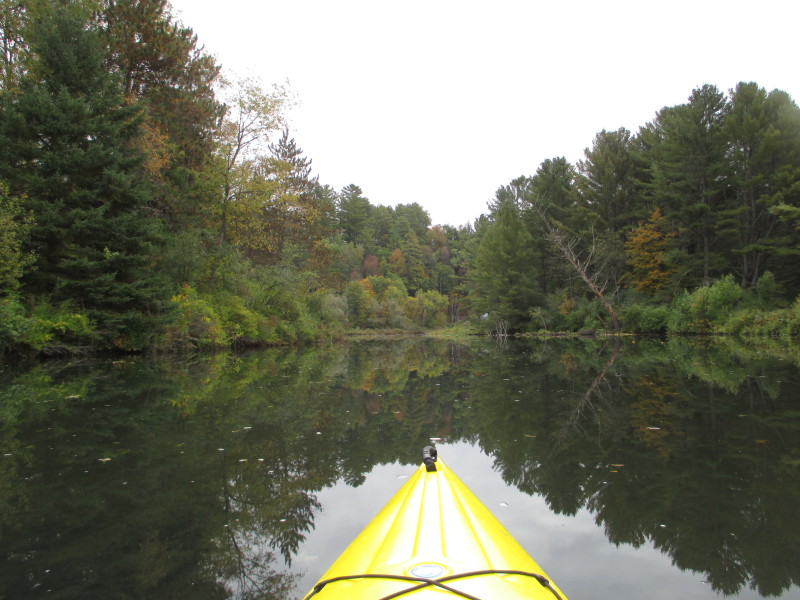
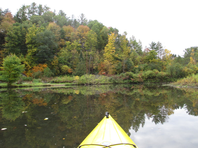
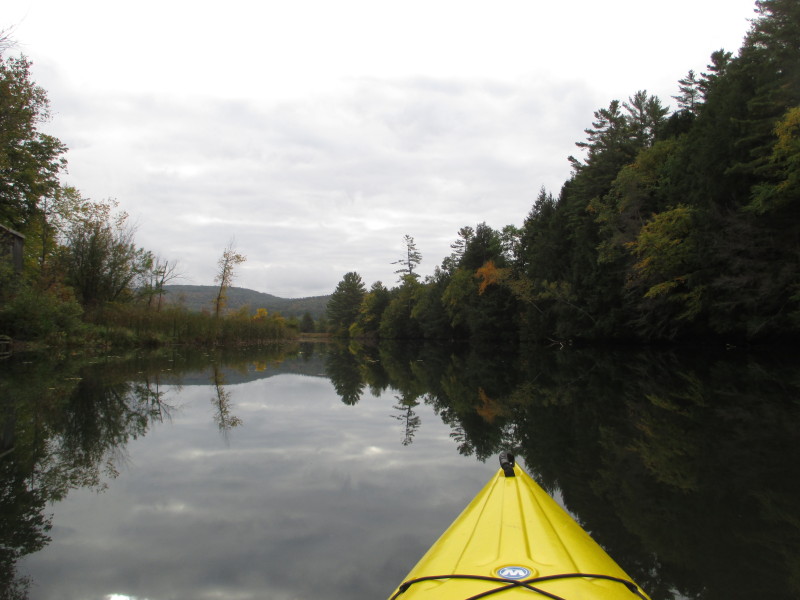
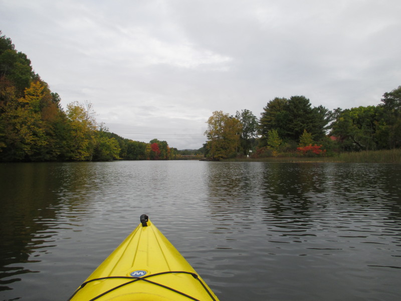
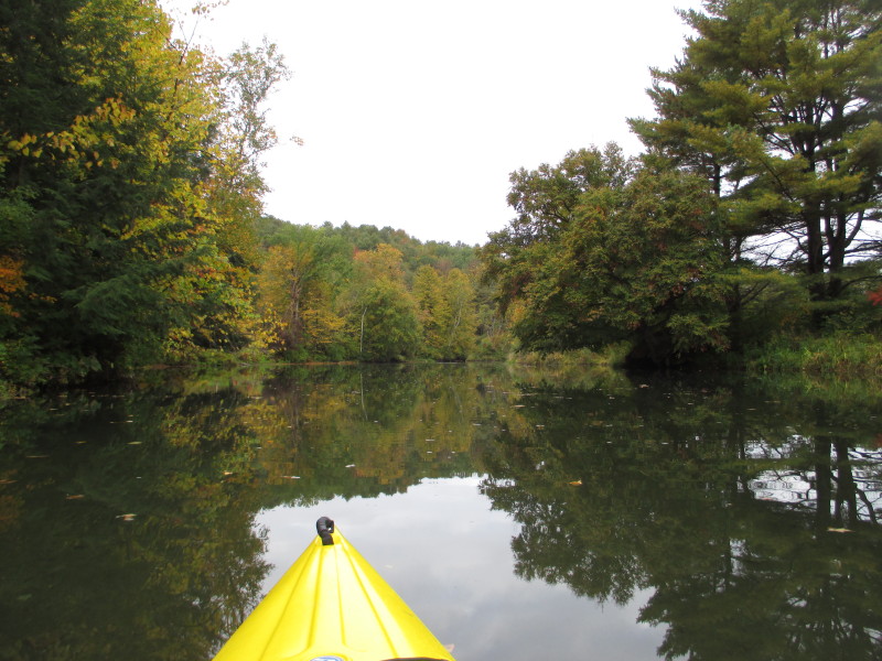 The Ompompanoosuc is getting narrower . . .
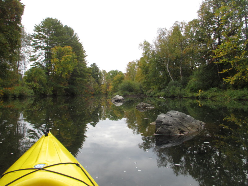
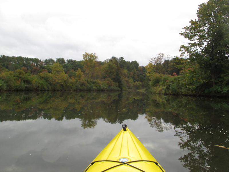
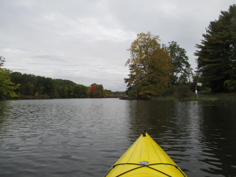
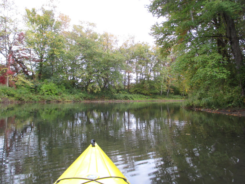 River bending to the right.
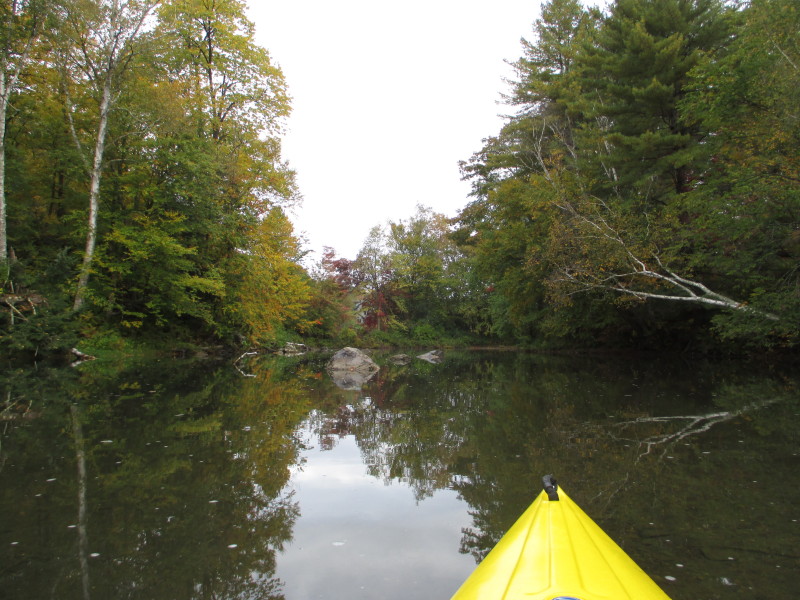
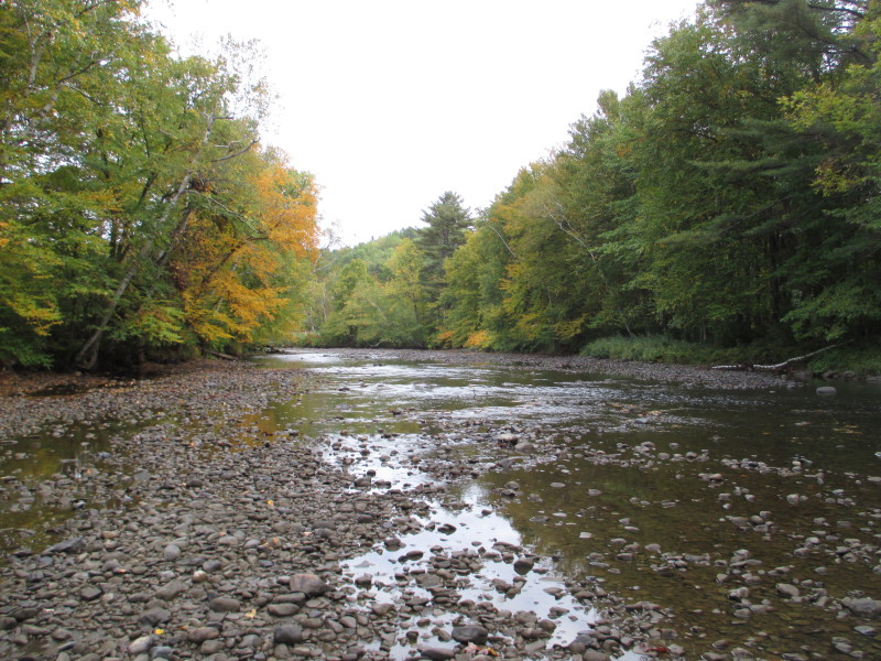
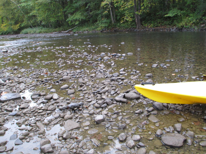 I have reached the beginning of Ompompanoosuc! (the runnable part that is)
 Back on the water, now paddling downstream.
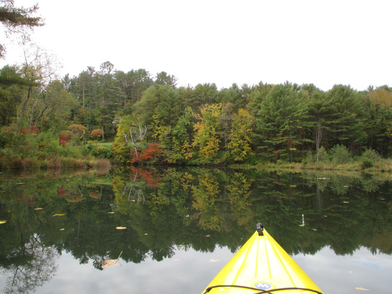
 Approaching Route 132 bridge from the north.
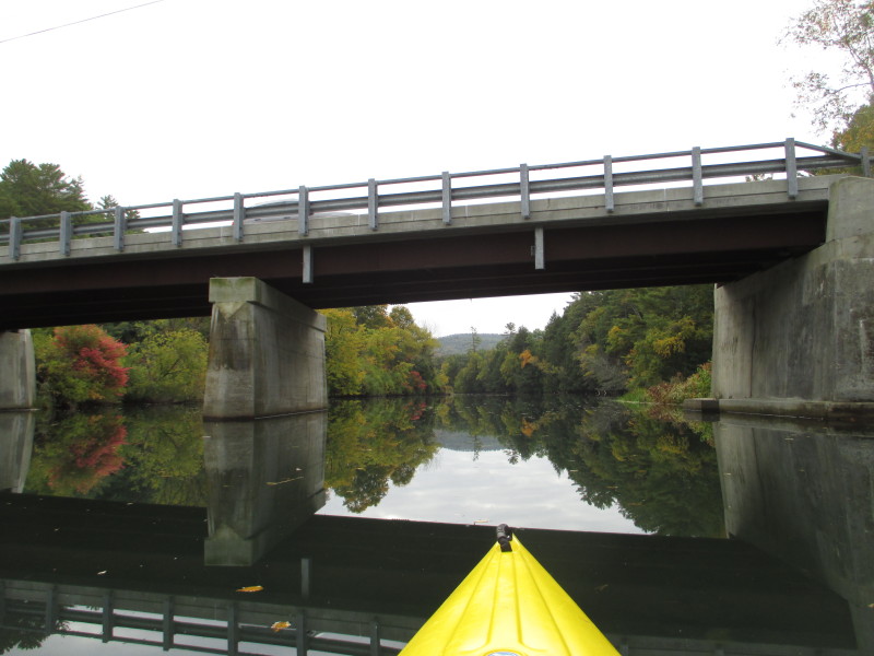 Passing back under Route 132 bridge.
 I-91 bridges.

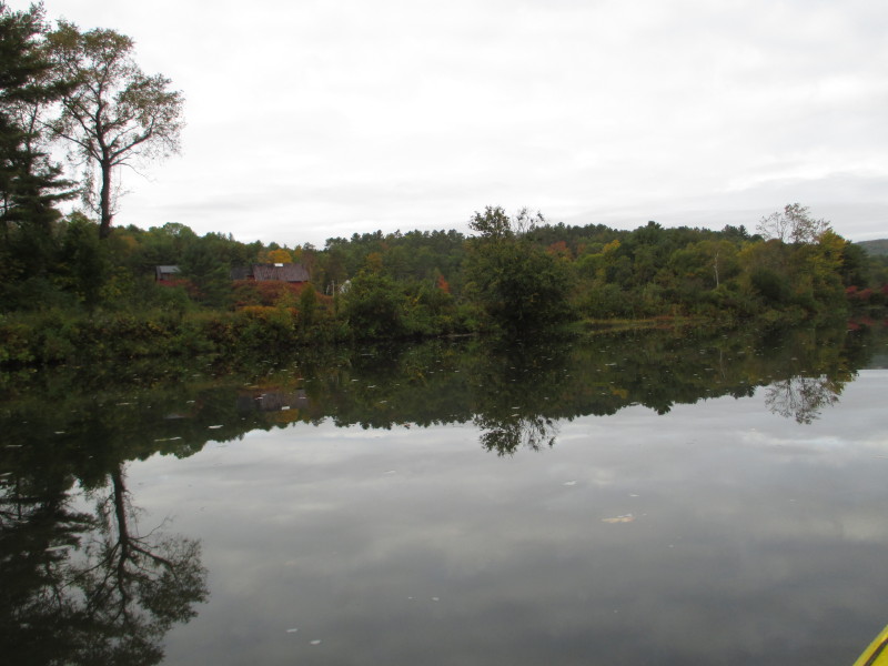
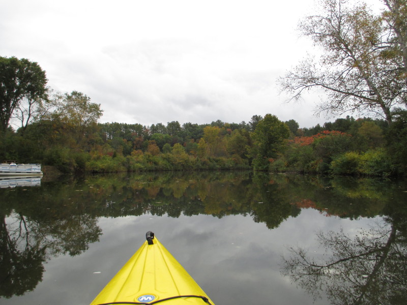
 There are other people at the put in now at left.
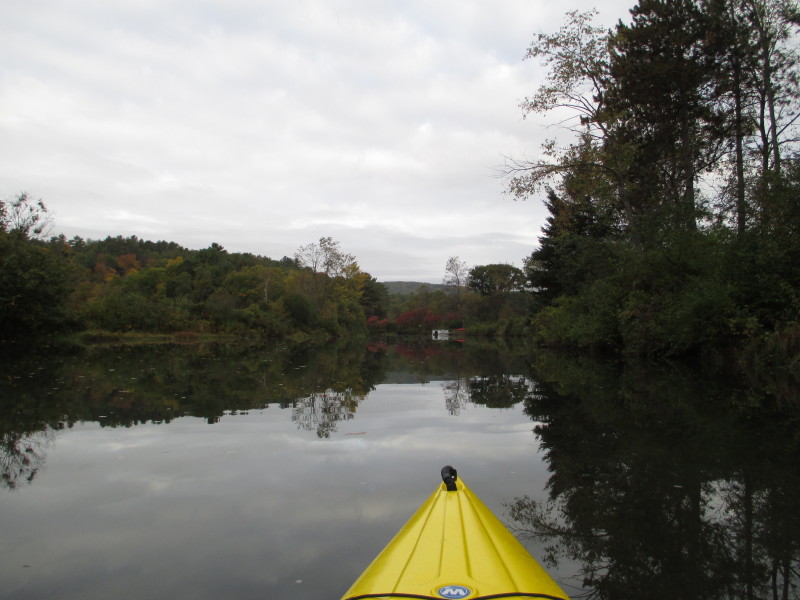
I will paddle past my take out to venture downstream at the Connecticut River. 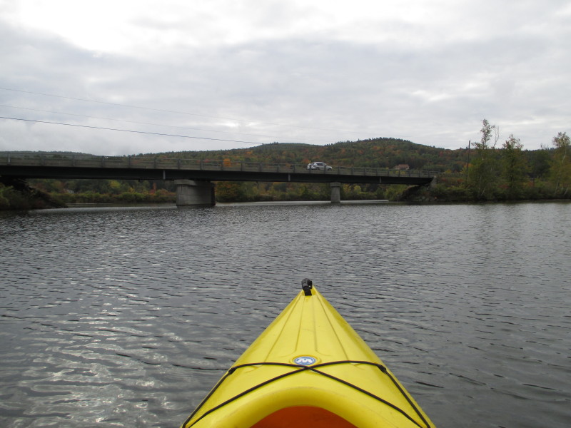 Approaching Route 5 bridge south of the put in.
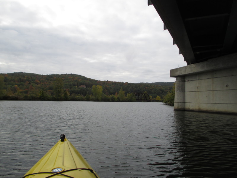
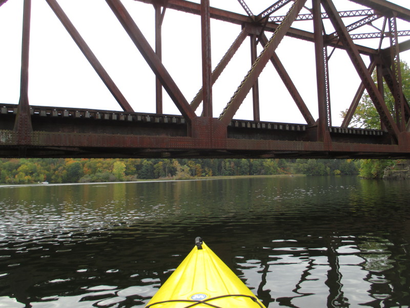
 The Ompompanoosuc River drains into the Connecticut River under that rail bridge.
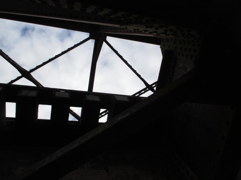
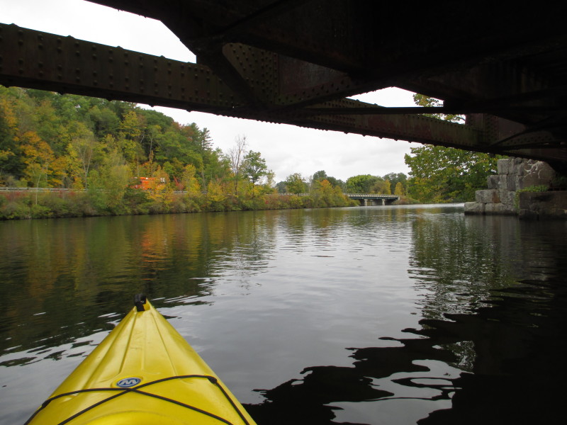
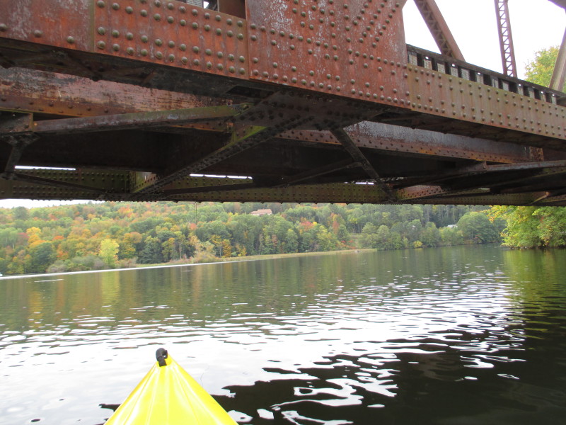 Under the rail bridge at the mouth of the Ompompanoosuc River.
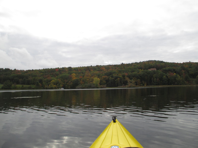 South of the rail bridge, the Connecticut River.
 Looking to my left, upstream.
 Connecticut River looking downstream (right).
 Just turned around. Going back to the take out.
 Past the Route 5 bridge, approaching the take out where I came from.
Landed. Paddle time is 1 hour 25 minutes. |