 Kayaker

|


|
Download printer-friendly
PDF version that fits in one page: |

|
|
Other resources:
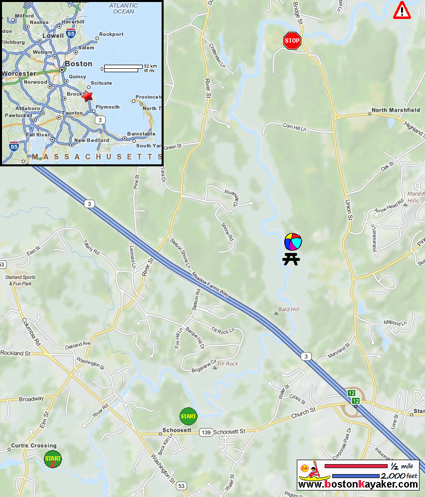
US Harbors: North River Tides at Damon Point (add 2 hours to get high tide at Pembroke launch) Wild Turkey Paddlers: North River The North and South Rivers Watershed Association The North and South Rivers Watershed Association: Paddling on the Rivers The North and South Rivers Watershed Association: Canoe and Kayak Guide The North and South Rivers Watershed Association: Canoe and Kayak Guide (cached copy) REI Guidepost: North River SixStates.net: Water Country - North River Trip blog Paddling.net: North River Trip Report All photos in this website are original and copyrighted. CAUTION!! Canoeing and kayaking downstream from Damons Point or outside the Herring River can be EXTREMELY DANGEROUS. The currents at the Mouth of the North and South Rivers are deceptively swift and unpredictable--over 15 lives have been lost over the past 20 years! 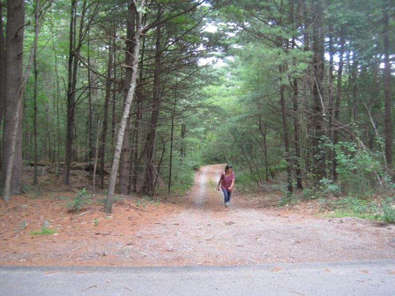 The unnamed dirt road to the North River launch off Birch Kiln Lane in Pembroke MA.
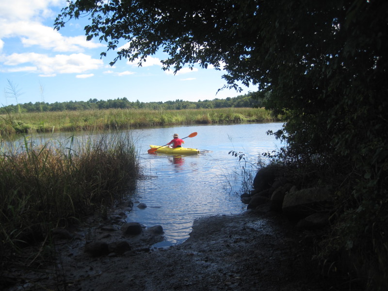
This particular picture taken earlier in August 2011 when we scouted this river. 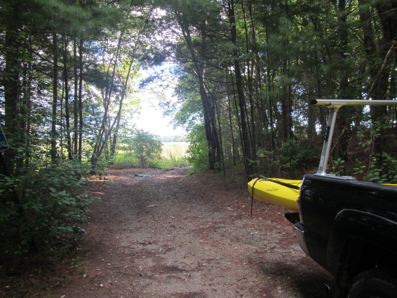 At the put in to the North River off Birch Kiln Lane in Pembroke.
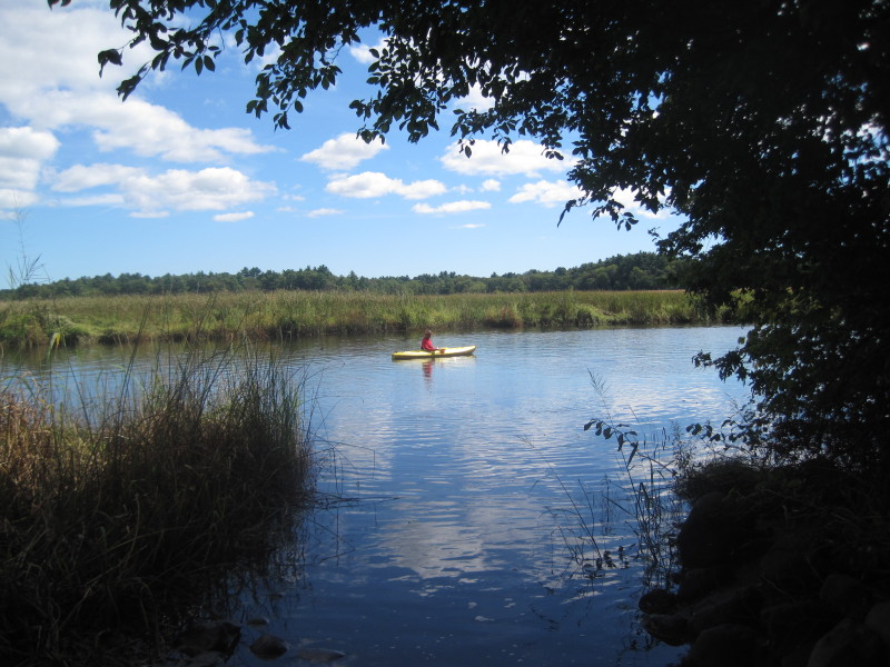
Trip date is September 2013. 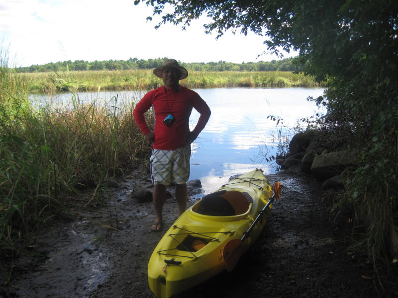 The Boston Kayaker on the banks of North River.
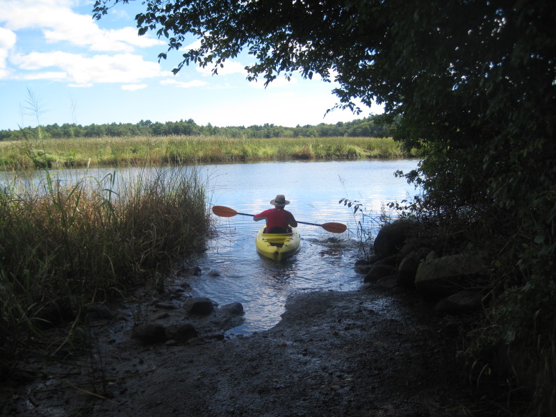
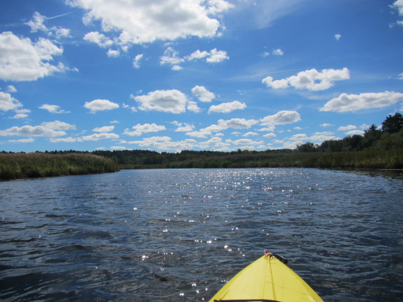
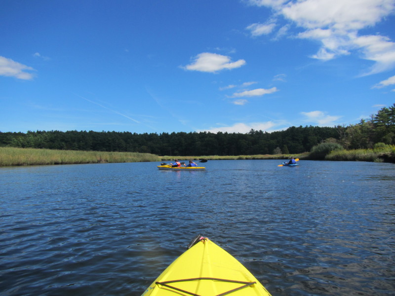
According to the tide charts, high tide at Damon Point today is at 8:35am. I launched at about 11:15am and the North River is receding and flowing nicely. 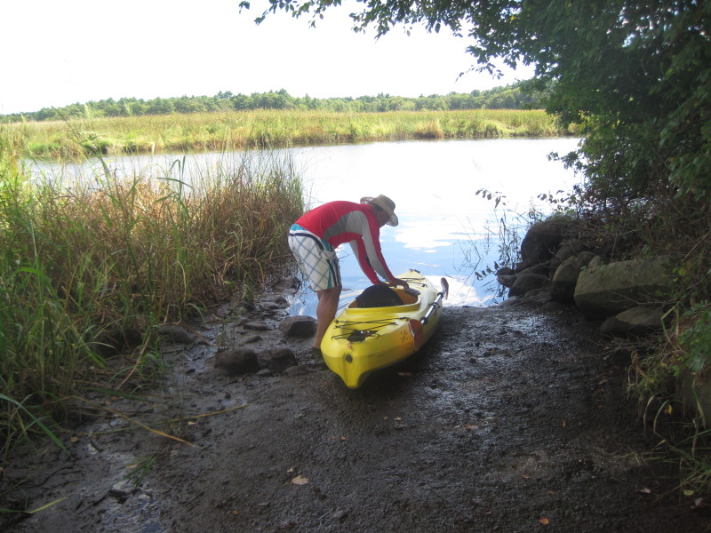 Launching . . .
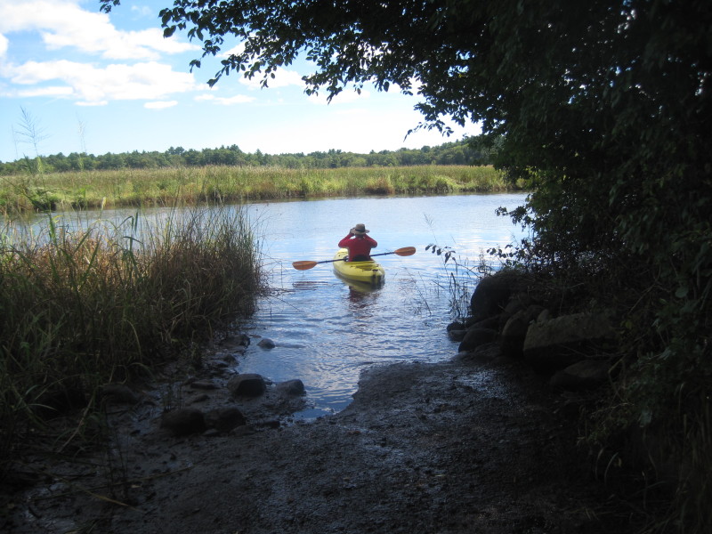
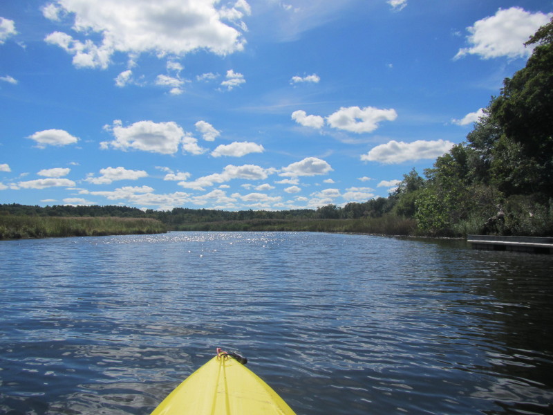
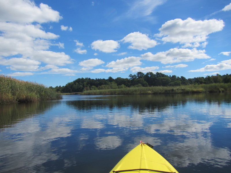
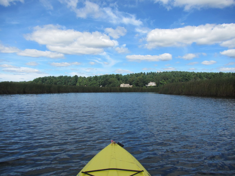
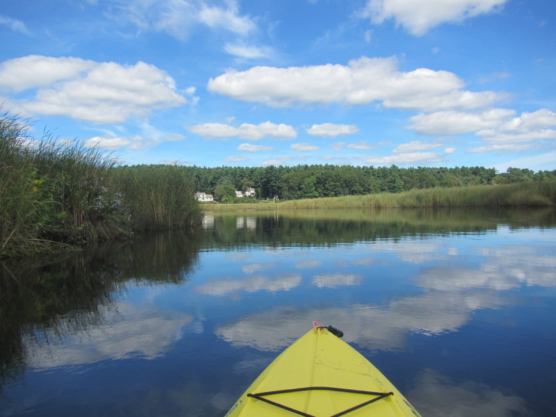
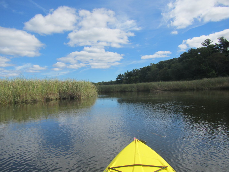
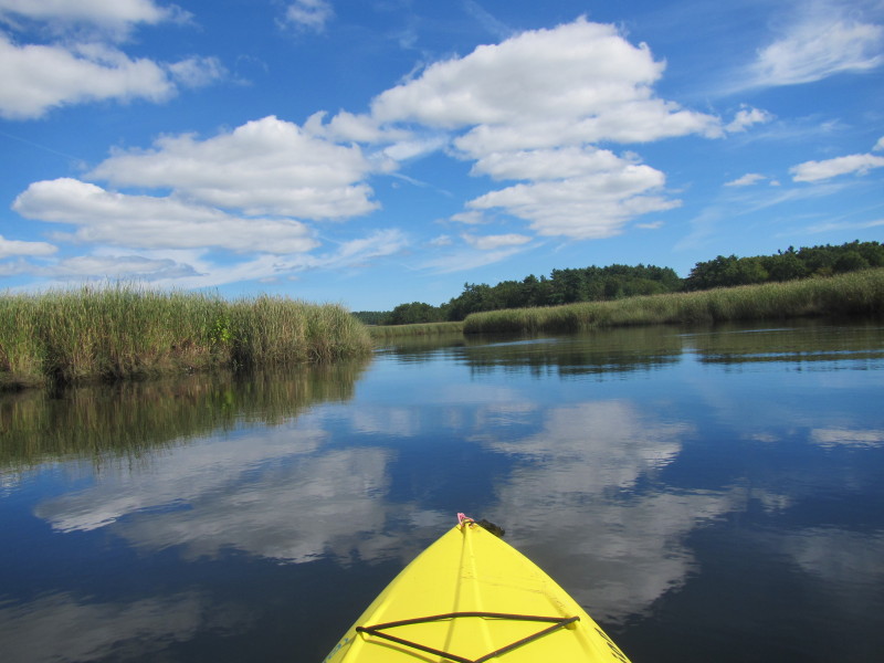
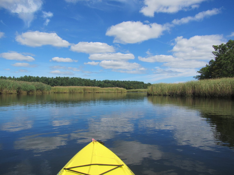
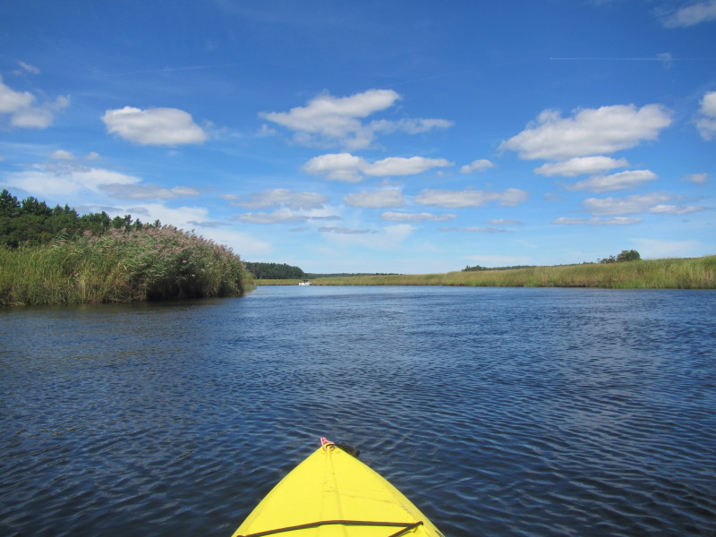
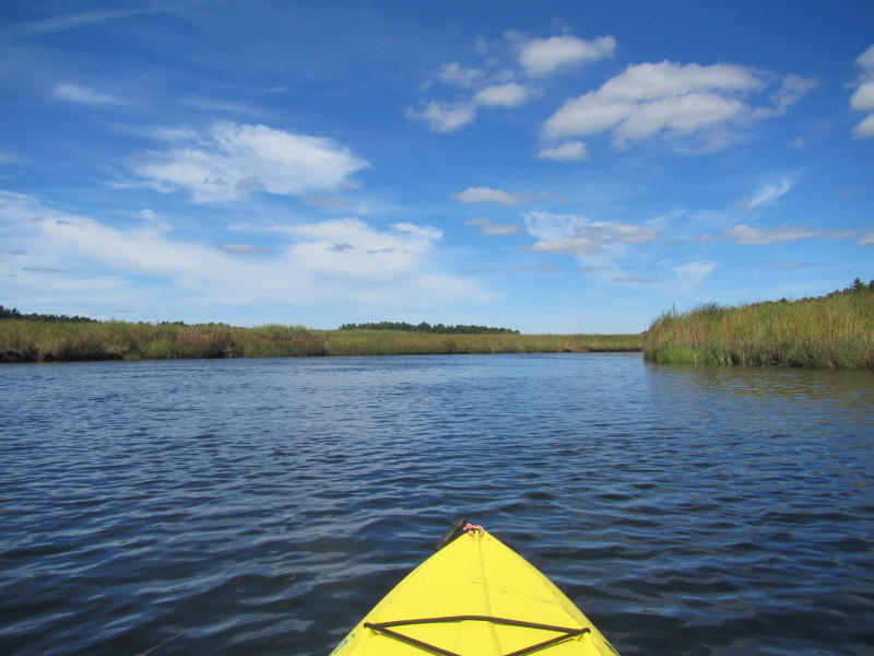
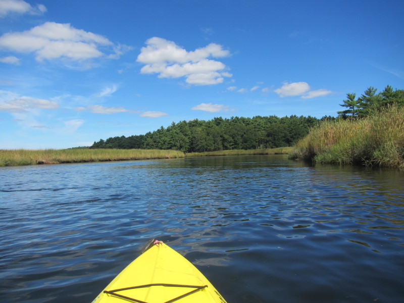
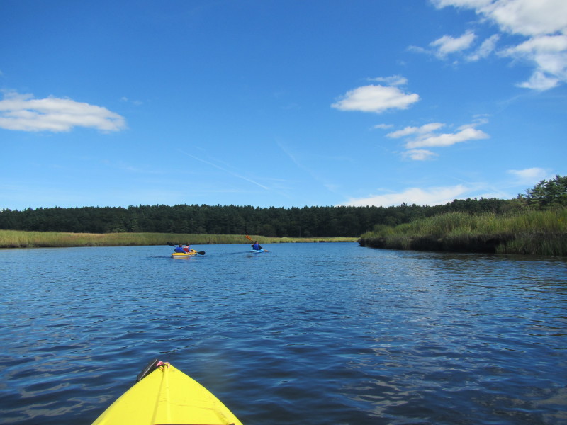
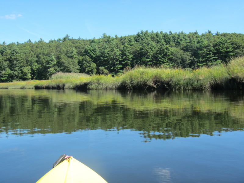
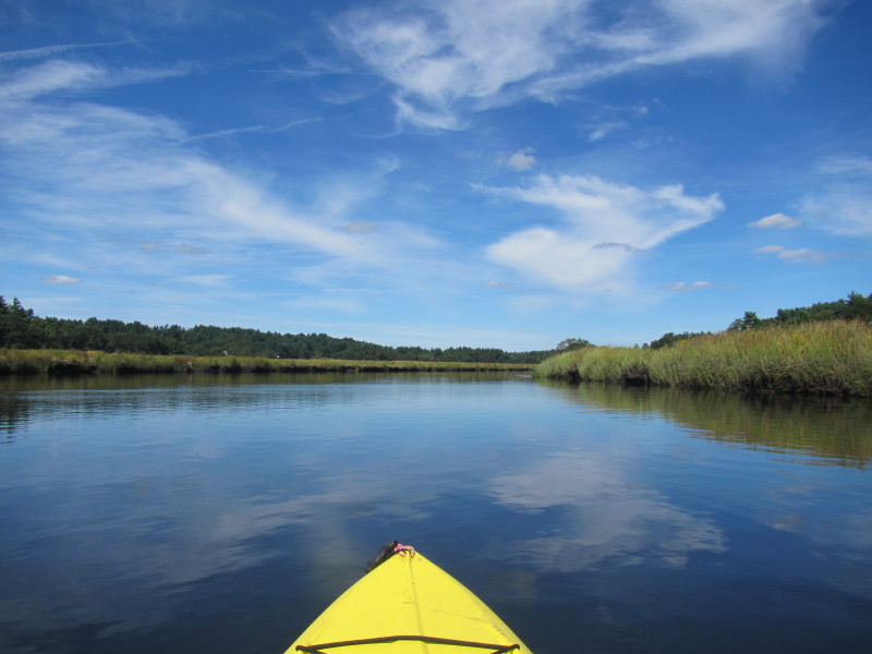
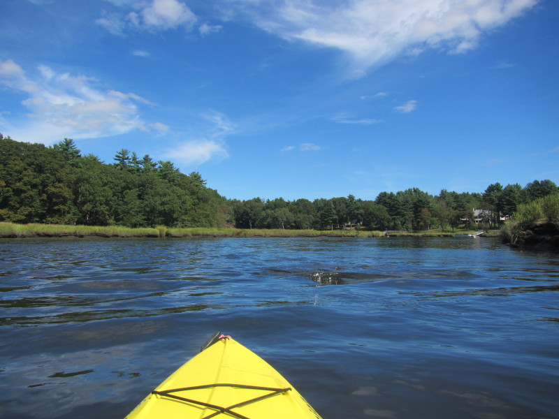
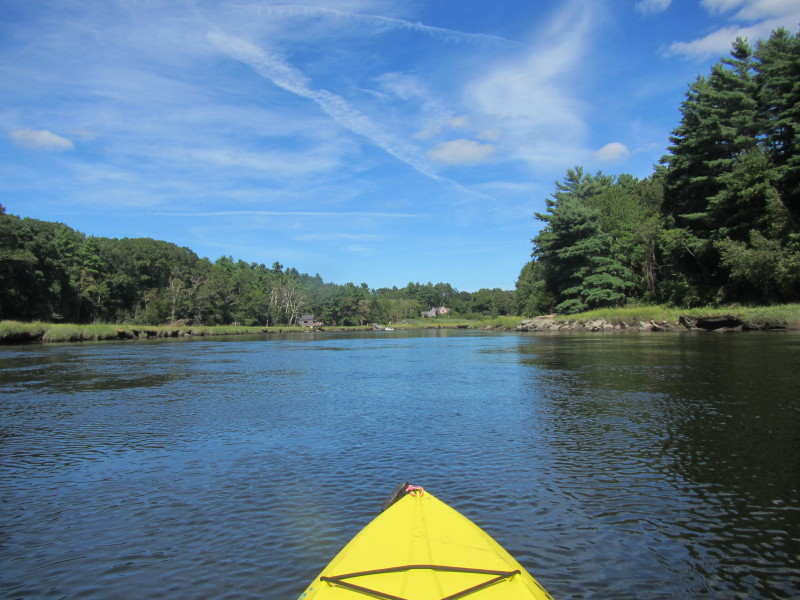
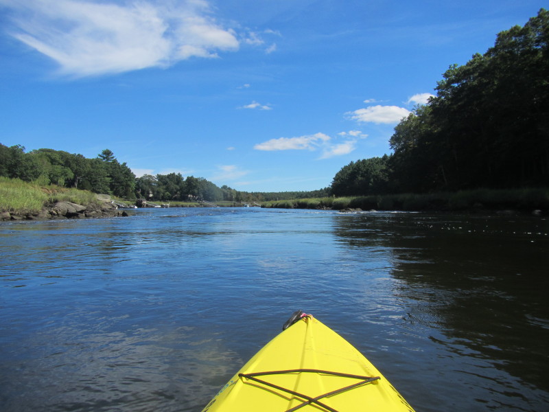
 Just launched on the North River.
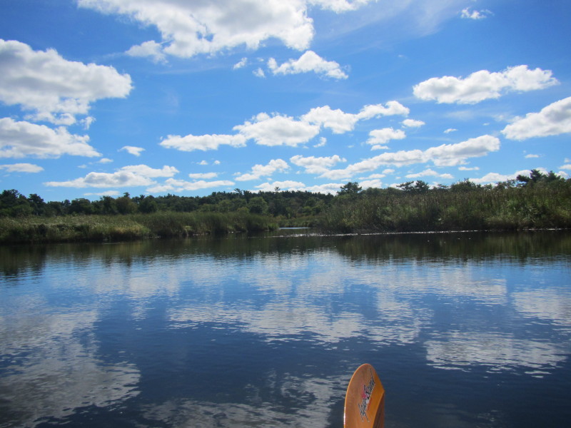
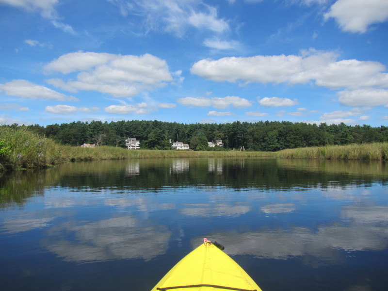
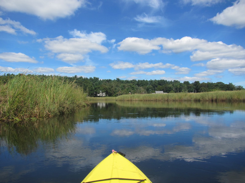
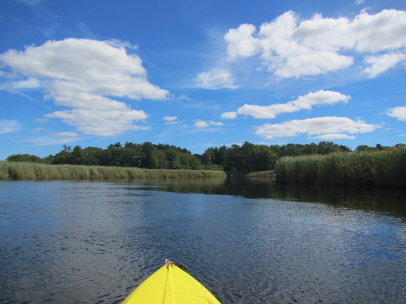
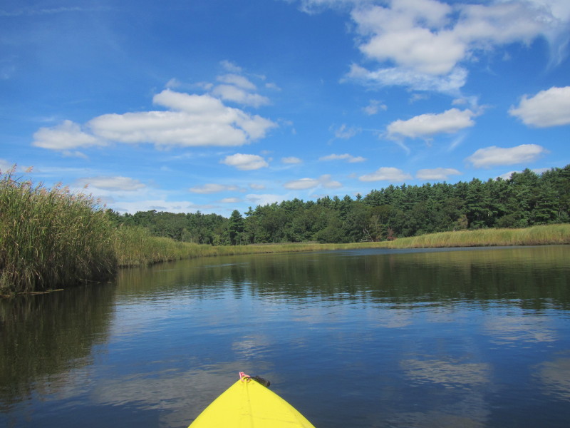
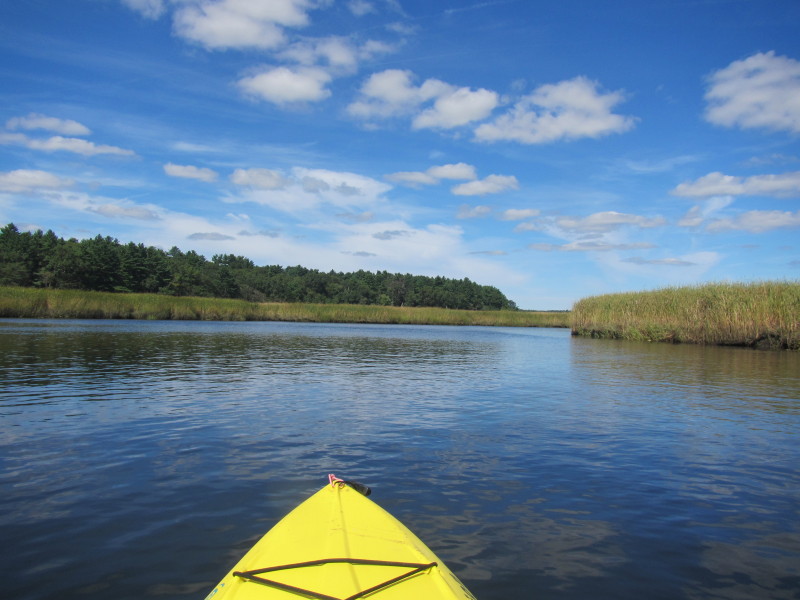
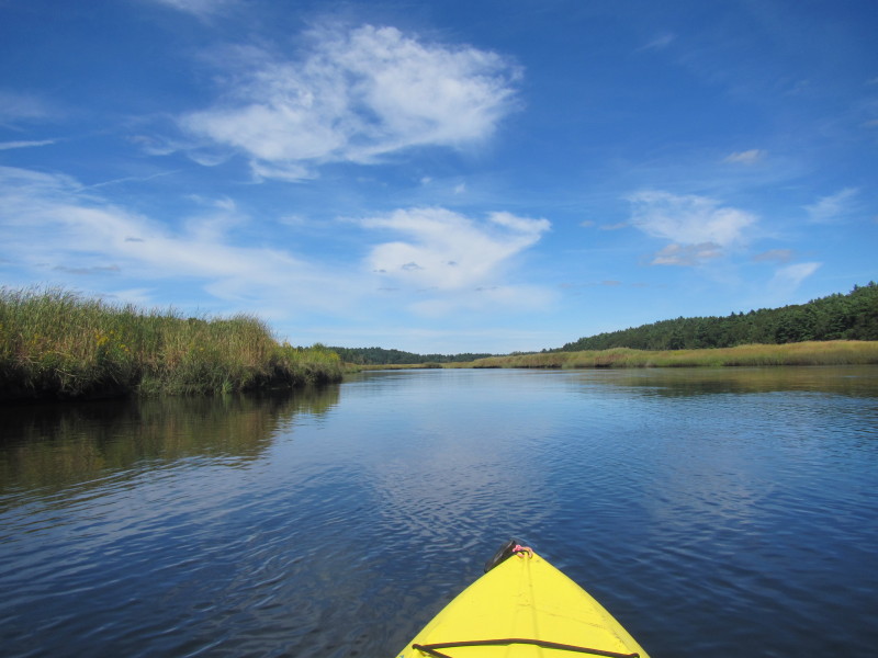
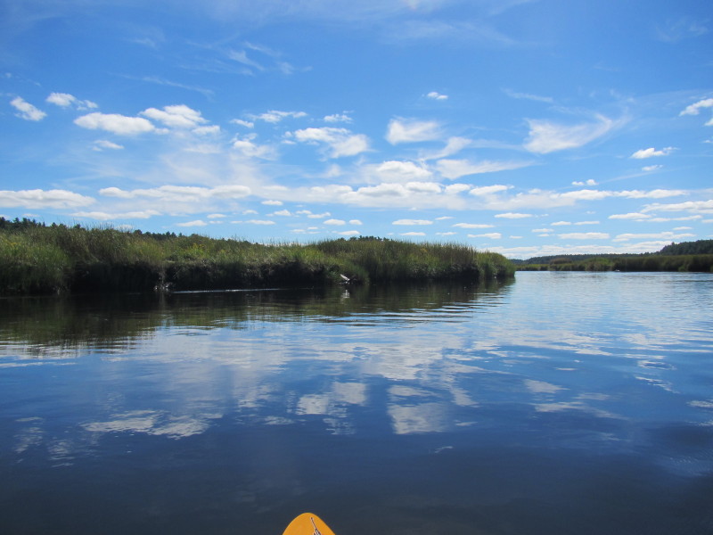
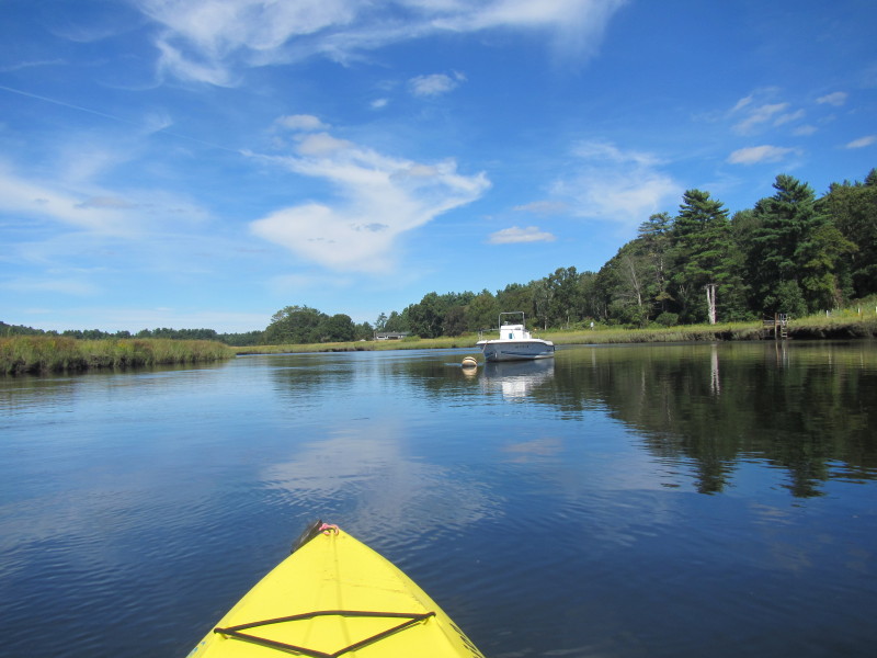
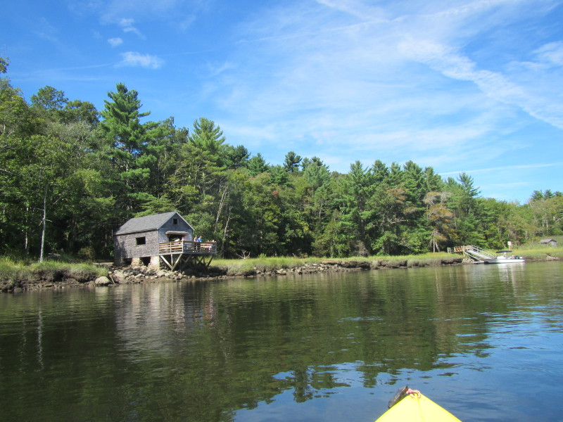
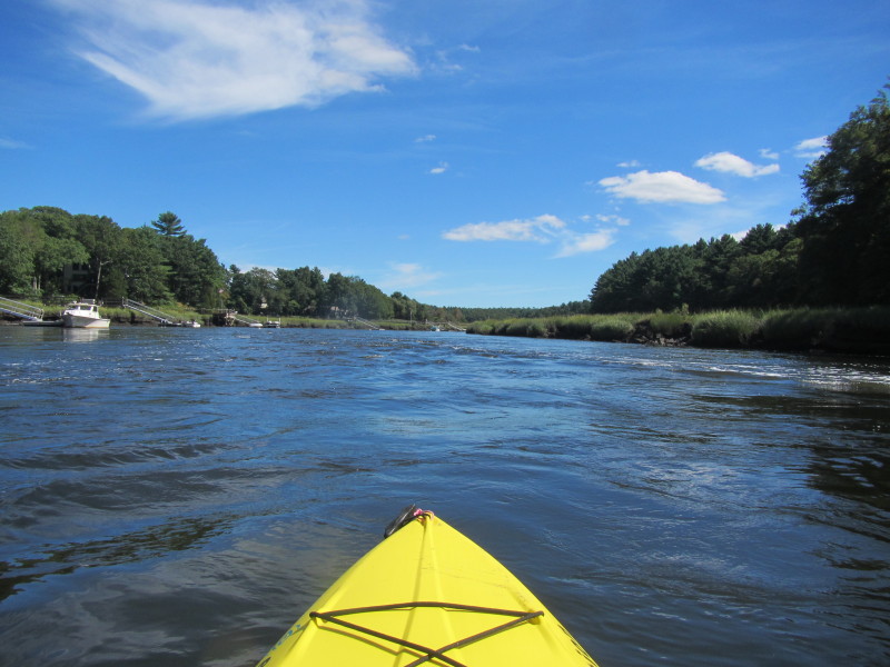
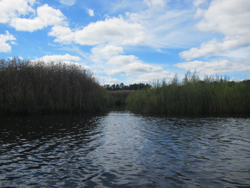 The North River has a lot of this inlets from the sides. I am guessing these are "private" inlets,
when followed will lead to people's river front backyards.
The North River has a lot of this inlets from the sides. I am guessing these are "private" inlets,
when followed will lead to people's river front backyards.
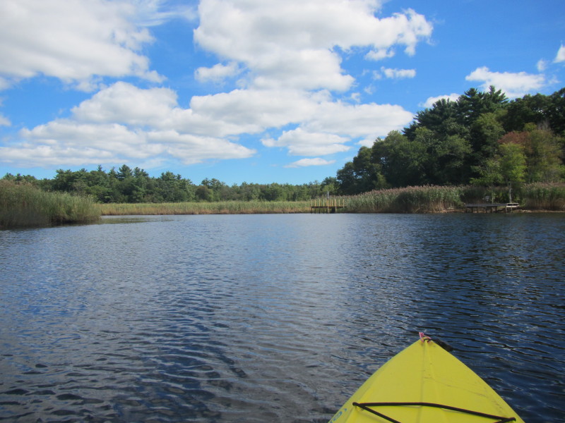
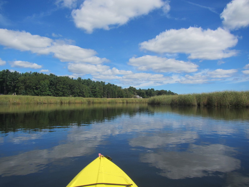
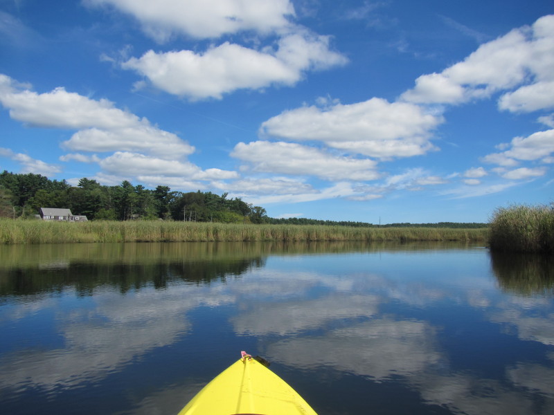
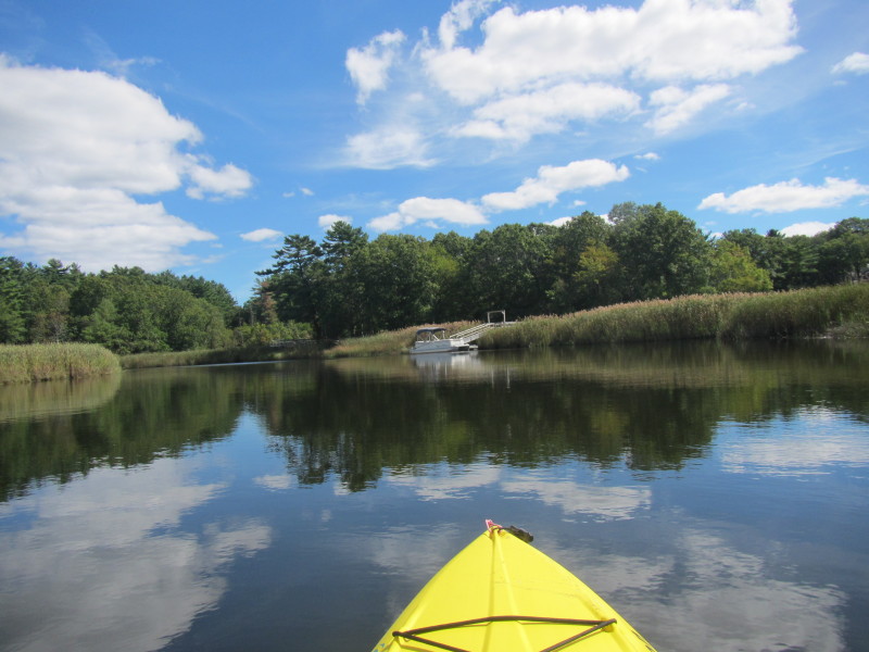
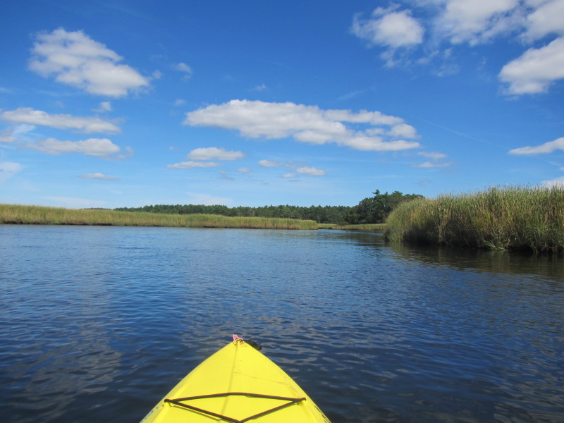
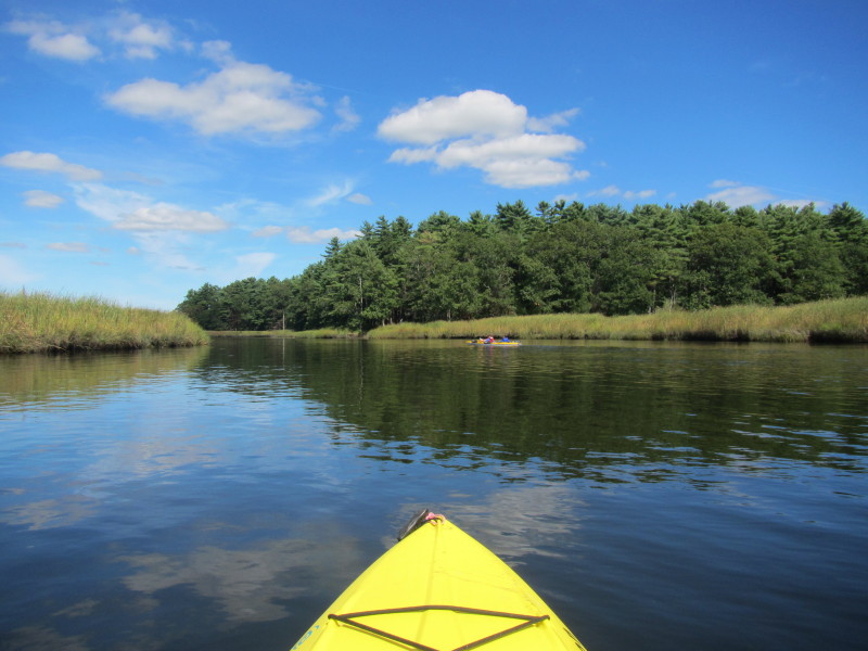
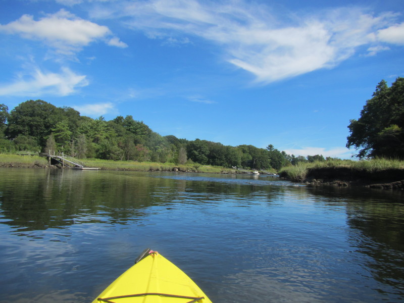
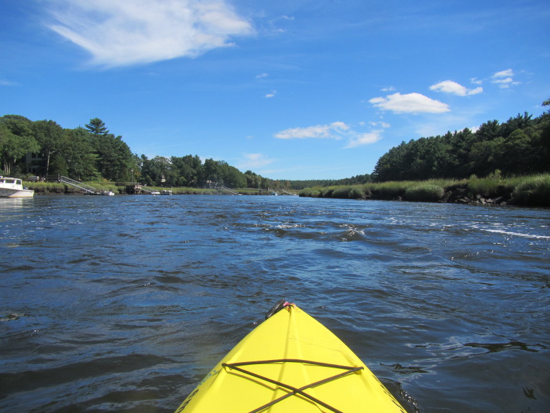
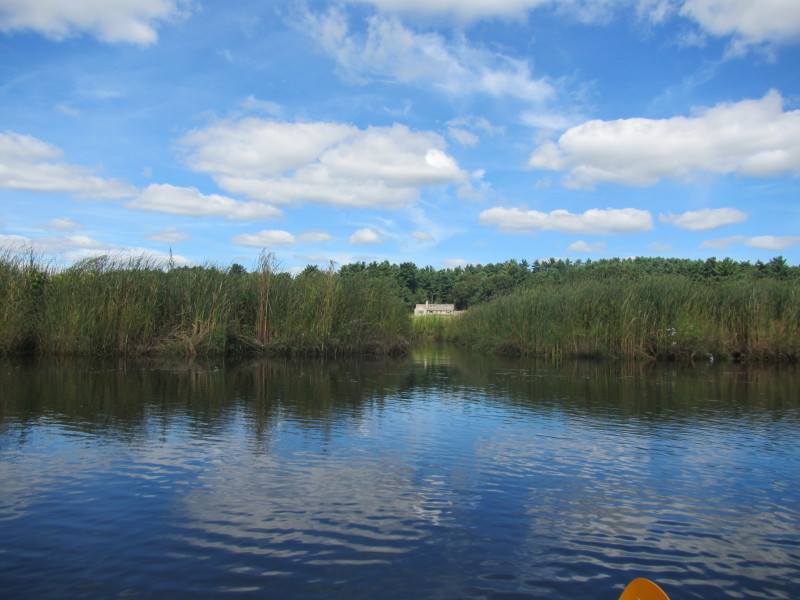 Another inlet on my left. There will be many of these and I stopped taking pictures of the inlets.
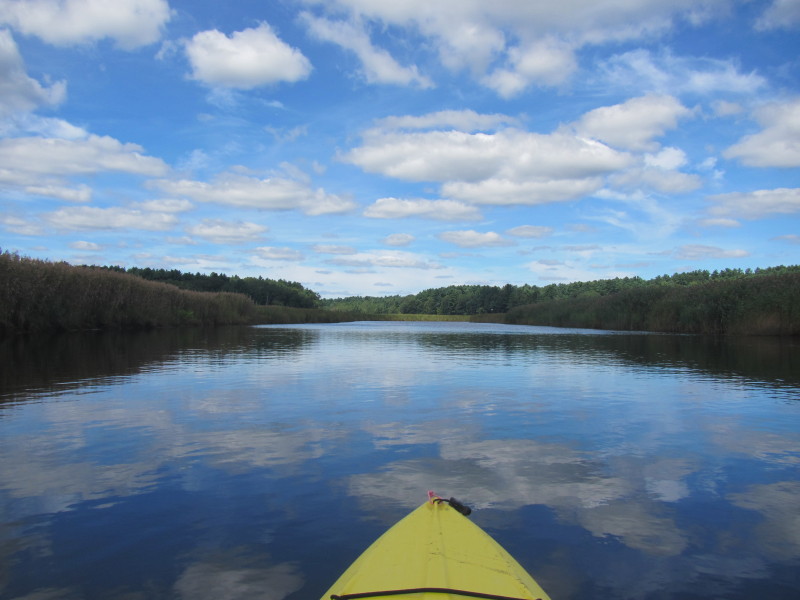
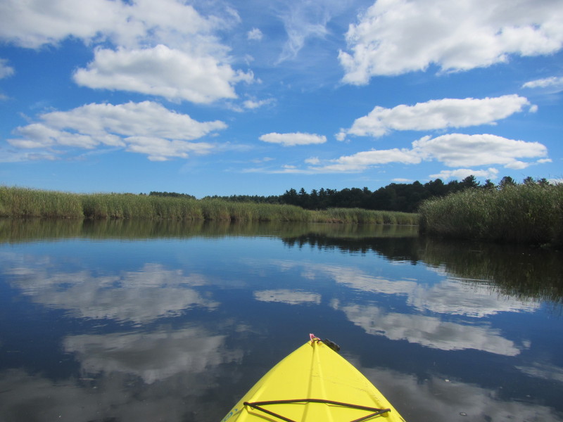
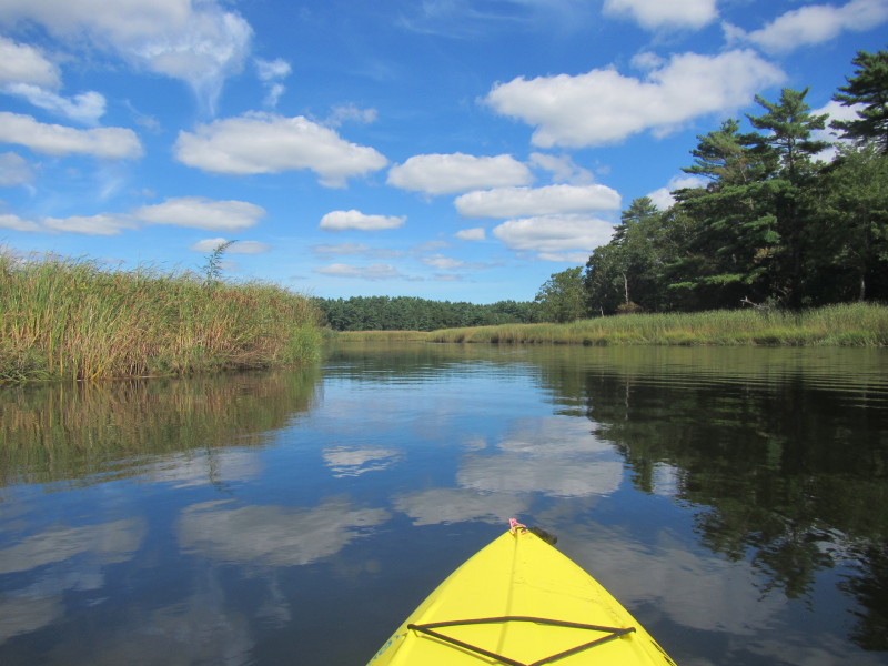
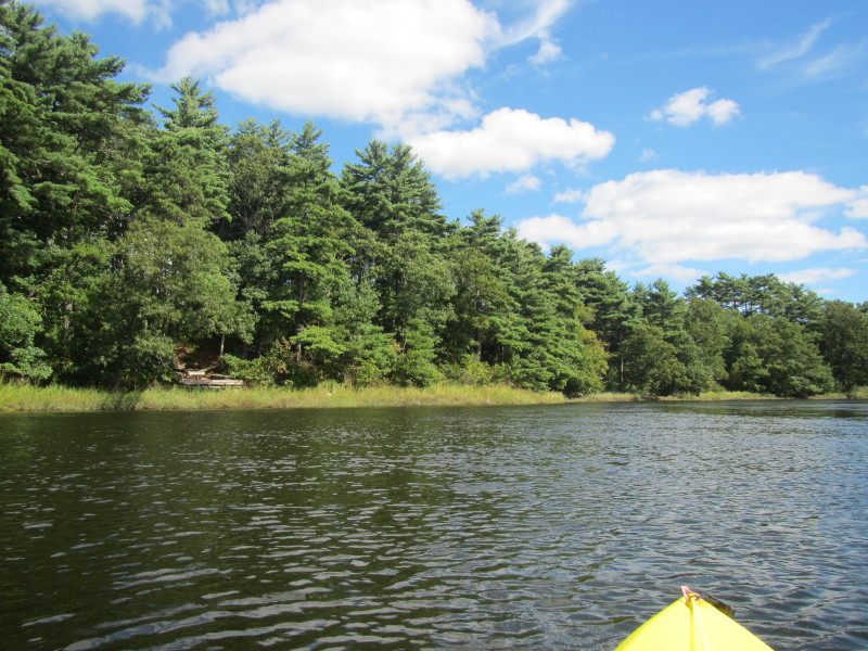
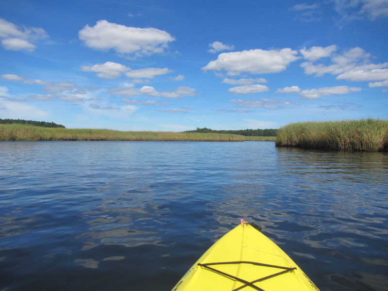
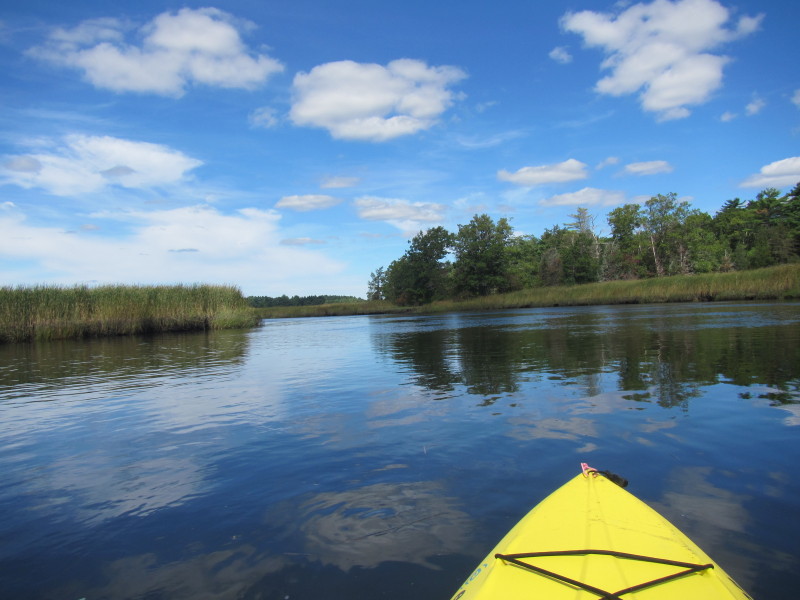
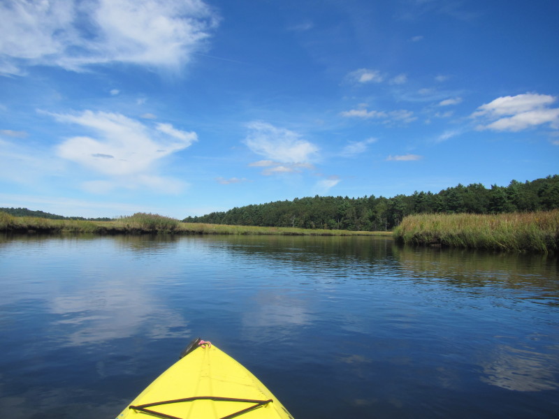
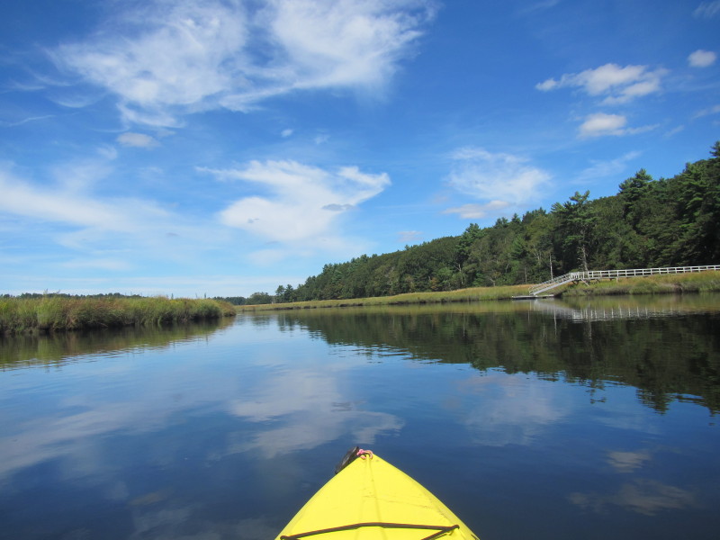
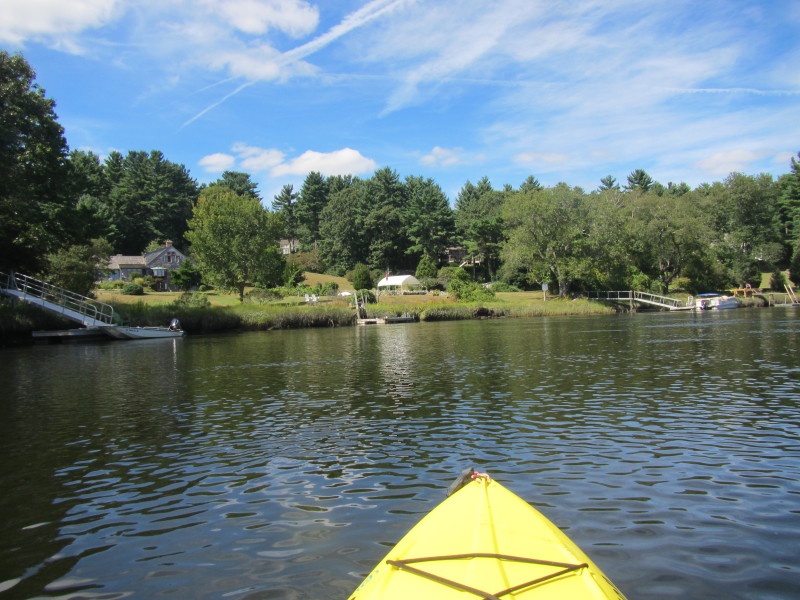
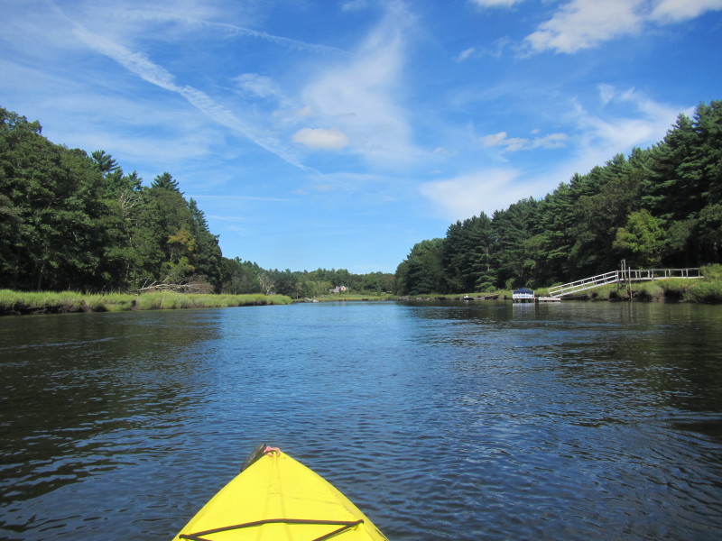
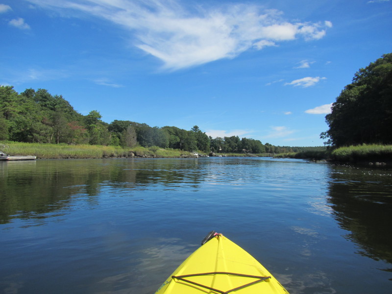
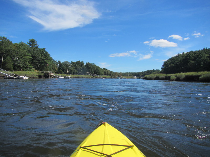
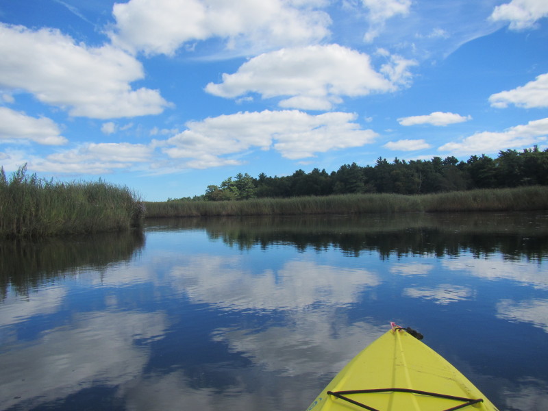 Bending to the left.
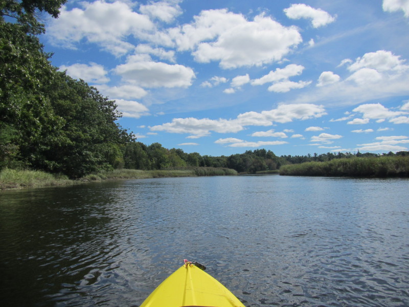
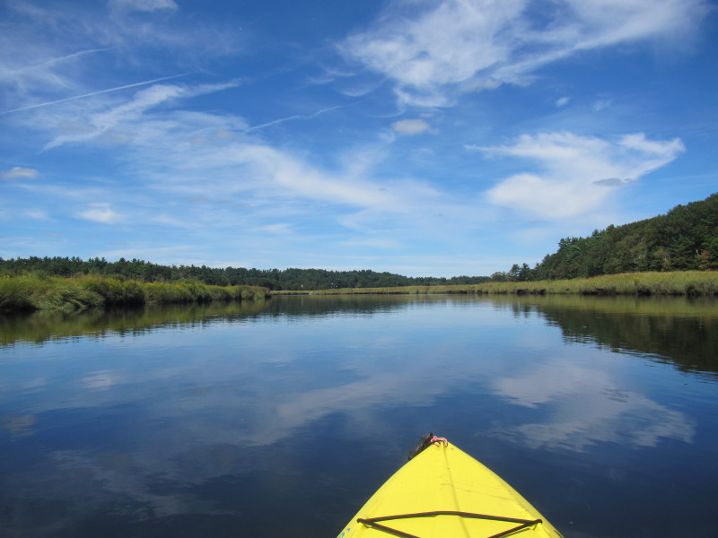
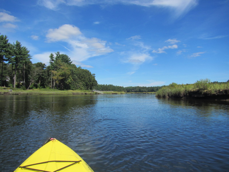
 Bending to the right.
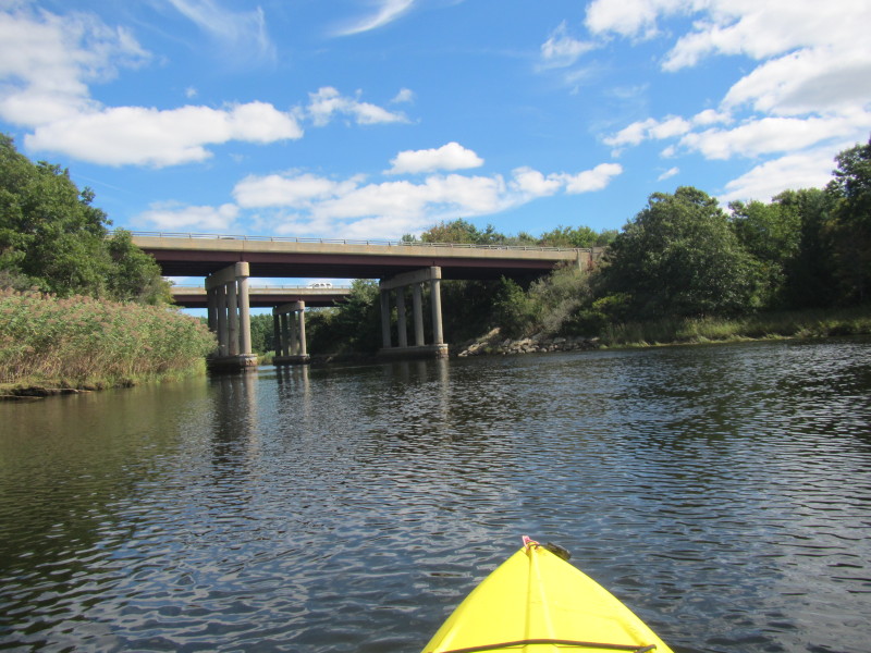
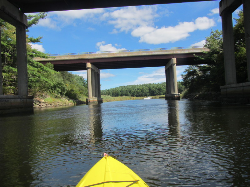
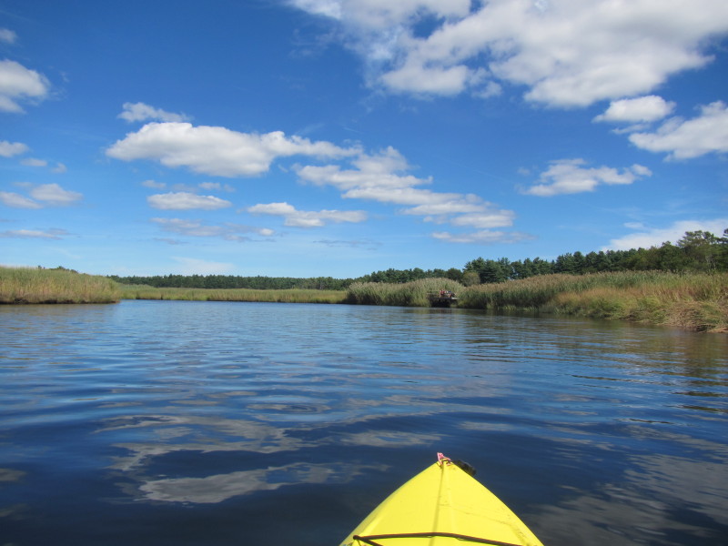
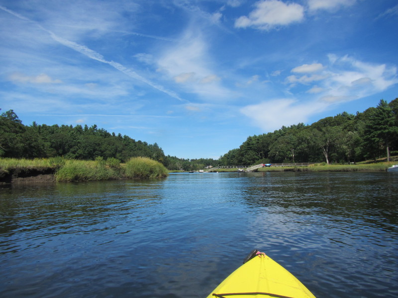
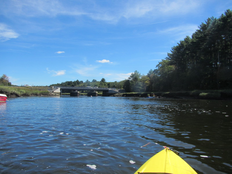
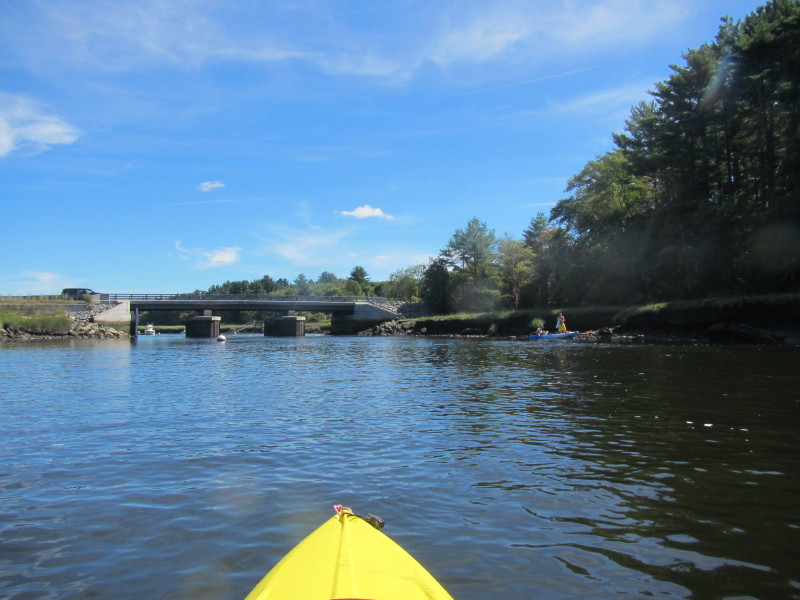
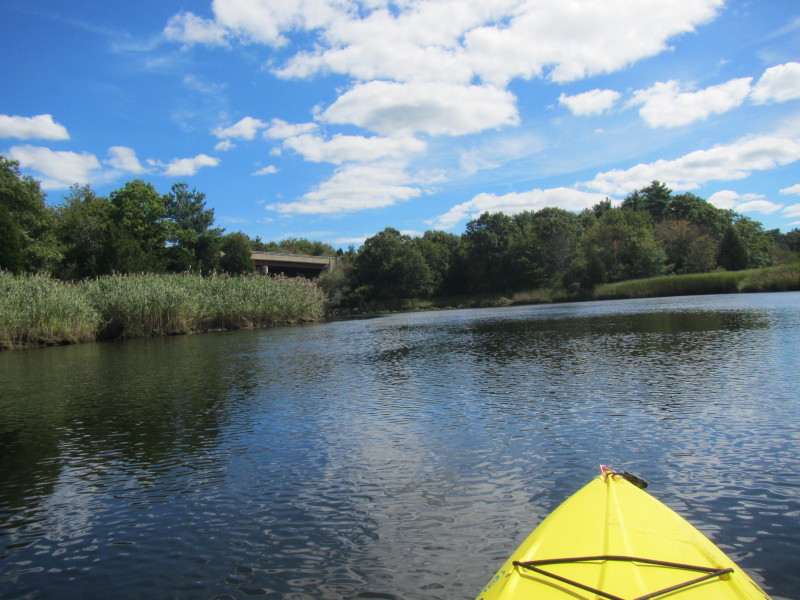 Route 3 bridge coming up.
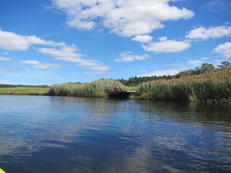 A couple of kayakers resting on a dock. Had a funny conversation with this couple.
After the pleasantries, the conversation went like this: Boston Kayaker: Is that a public dock? Couple: No. Private. Boston Kayaker: Yours? Couple: No! (shaking their heads) Boston Kayaker: Well its yours for now! (laughter all around) 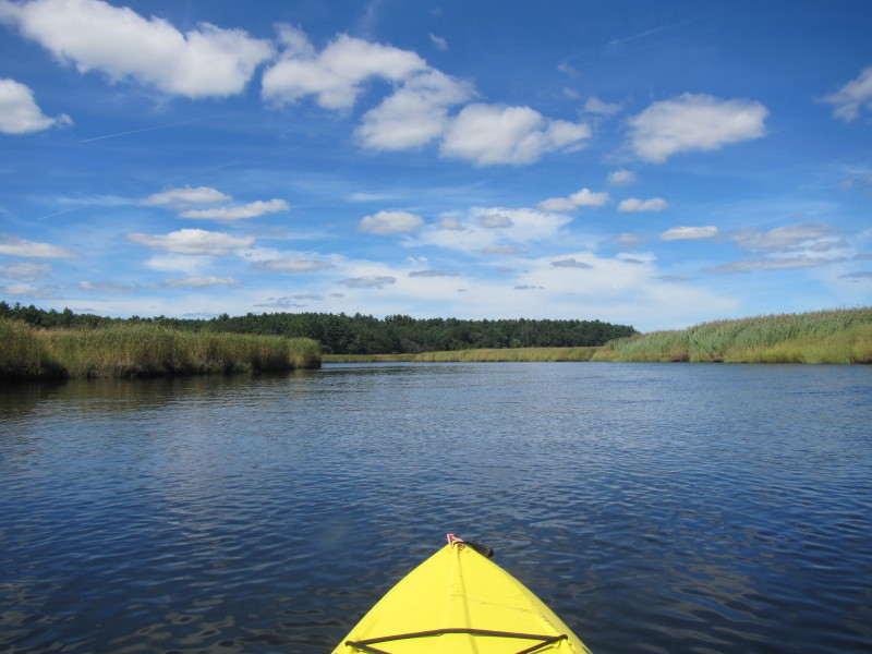
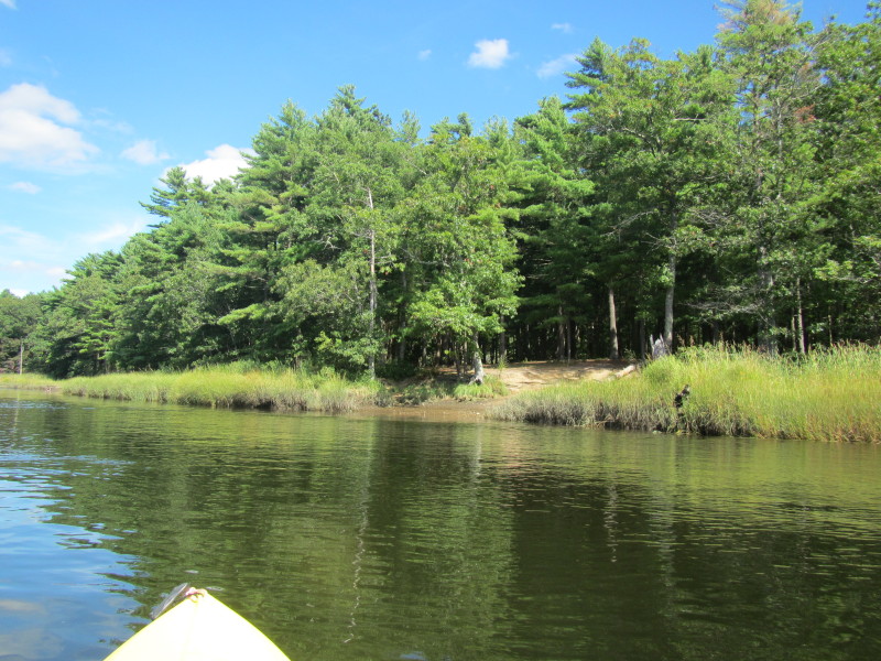
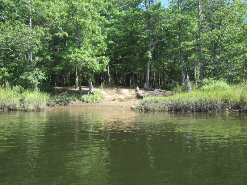
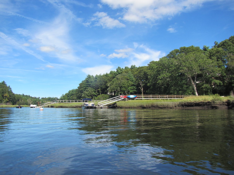
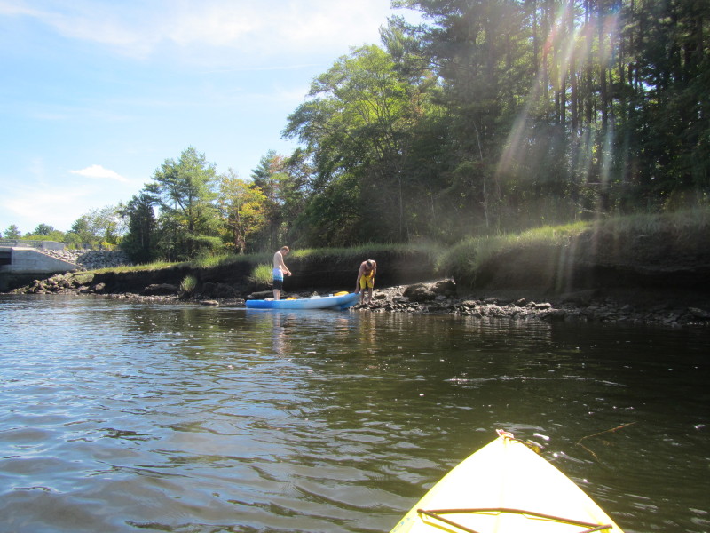
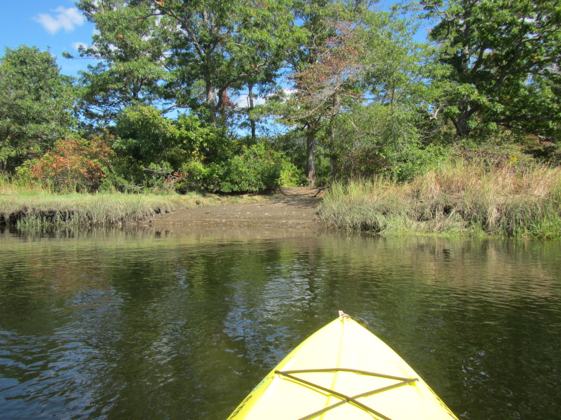 The landing to the Blueberry Island.
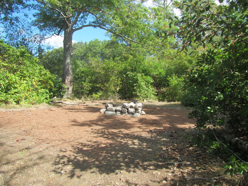 Camp fire at Blueberry Island.
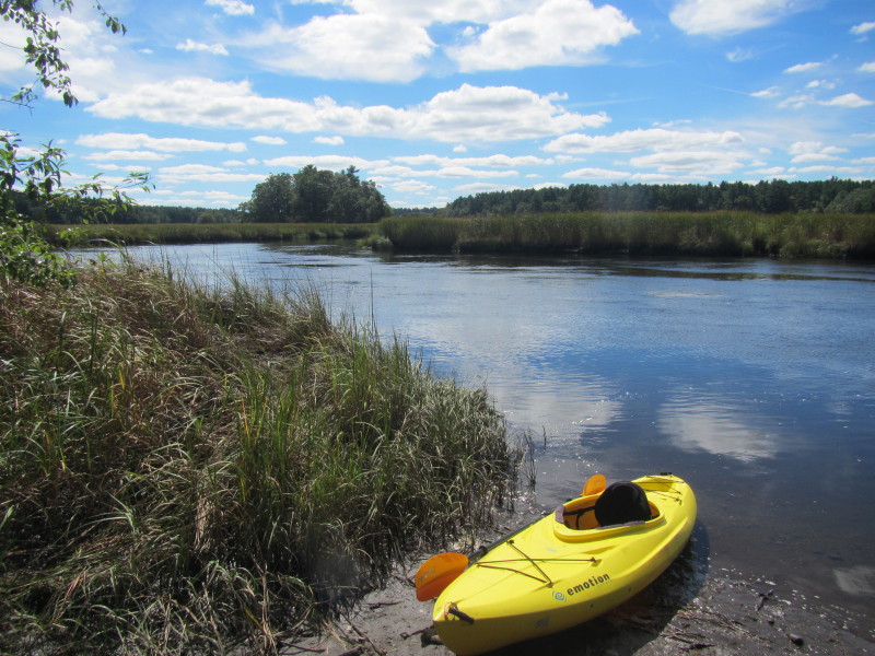
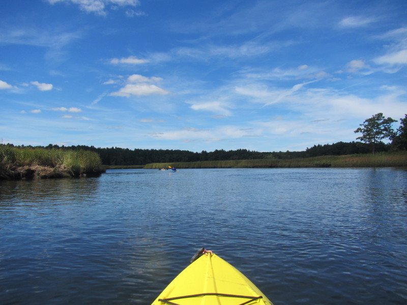
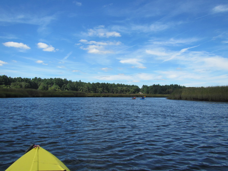
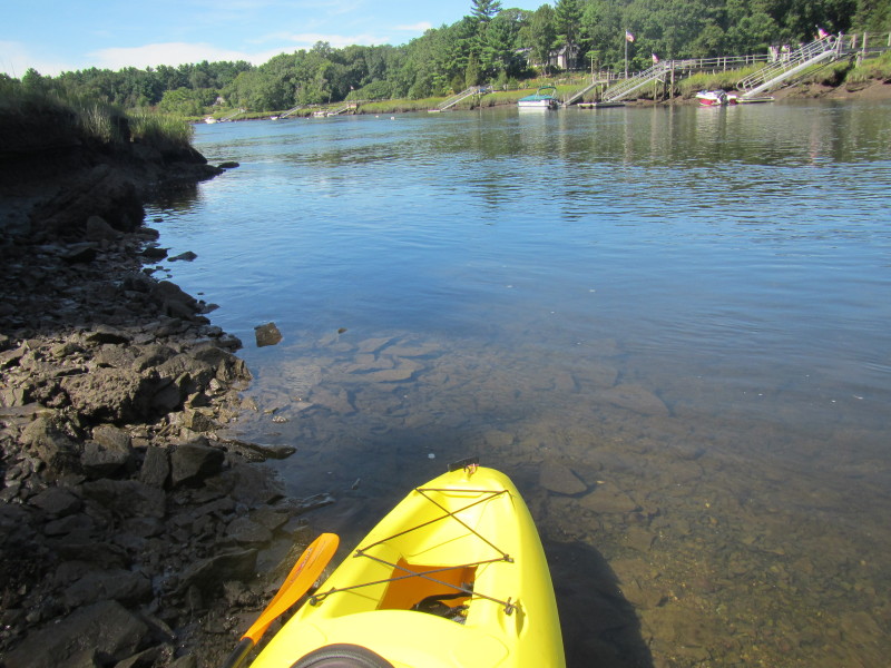
 Back on the waters of North River.
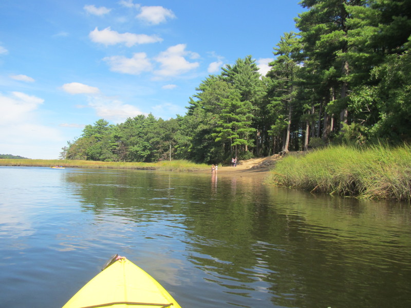 Couch beach.
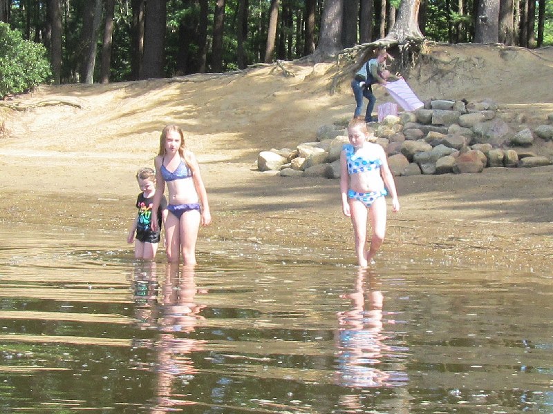 Children bathing at Couch Beach.


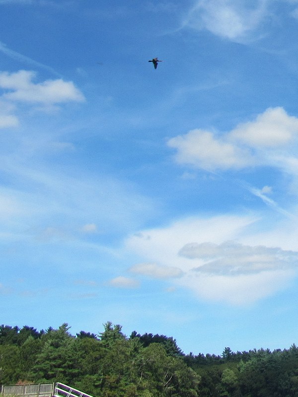
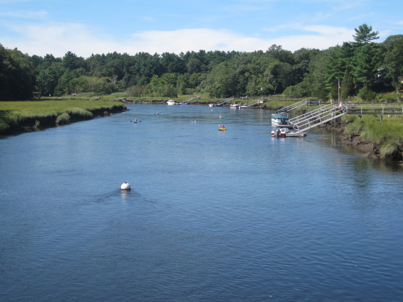
A duck circling above the North River. 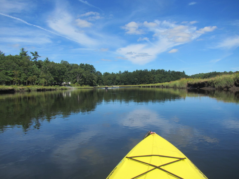
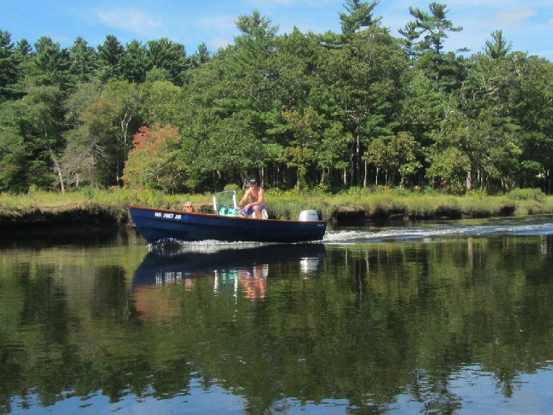
 Wake from the boat.
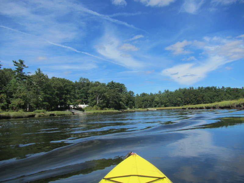
 Riffles ahead . . .
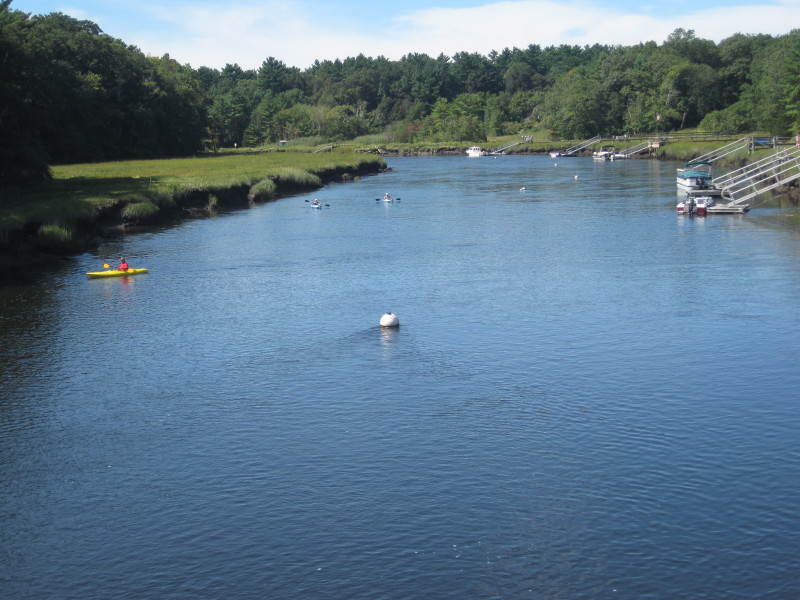
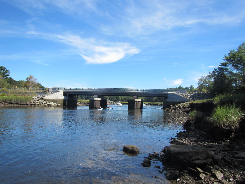
 Union Street bridge comes into view.
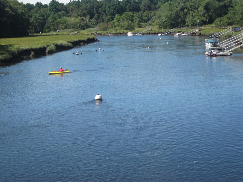
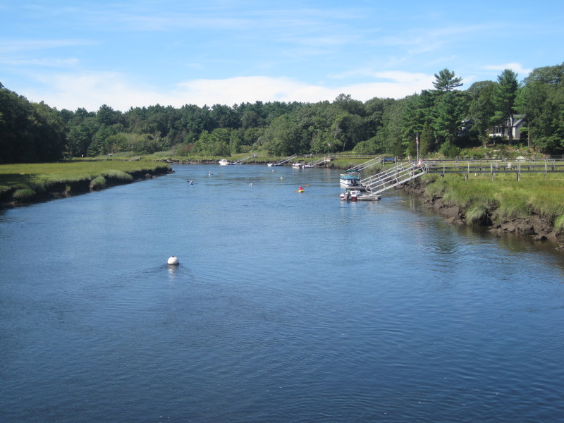 Picture taken by my son from the Union Street bridge.
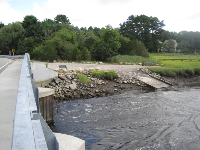 There is a boat ramp on the north/east side of the bridge in Norwell MA.
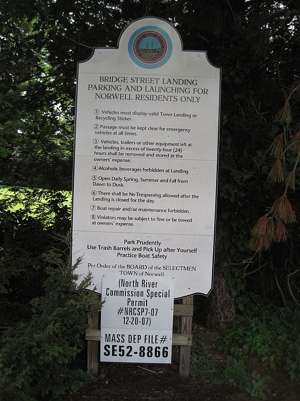
Use of boat ramp is restricted to the unneighborly residents of Norwell MA. :( This is why this boat ramp is not marked in the map above. |