 Kayaker

|


|
Download printer-friendly
PDF version that fits in one page: |

|
|
Other resources:
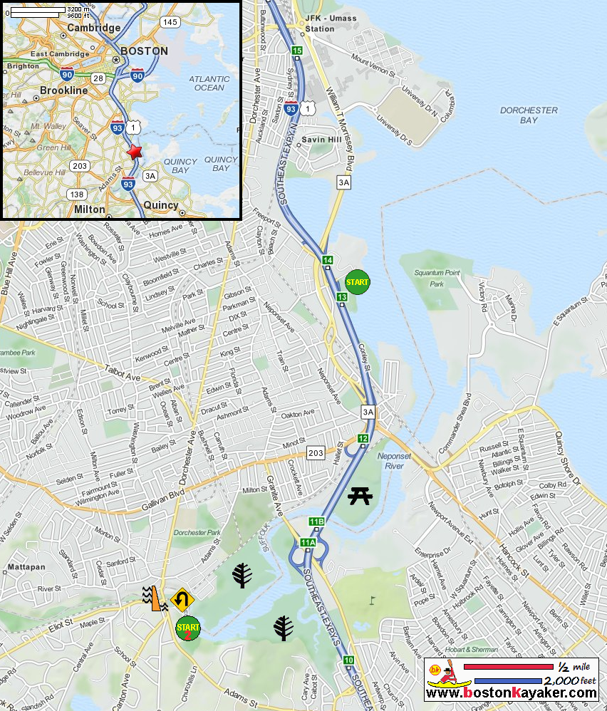
US Harbors: Neponset River Tides Paddling.net: Neponset River - Kayak Trip Report Neponset River Watershed Associate Mass. Dept of Conservation: John Paul II Park Mass. Dept of Conservation: Neponset River Reservation All photos in this website are original and copyrighted. 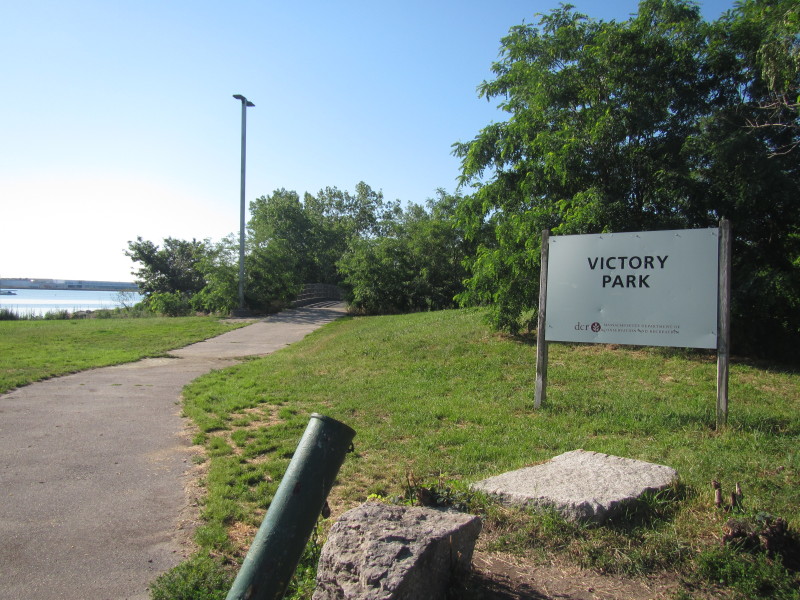 At Victory Park on Victory Road in Boston MA.
Trip date is June 2016. 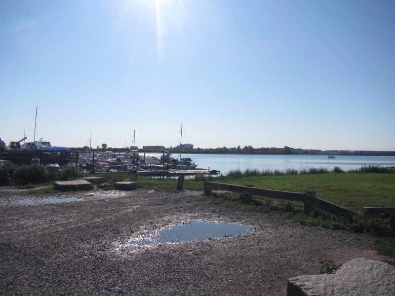 It was just after 8am. High tide is in 2 and a half hours.
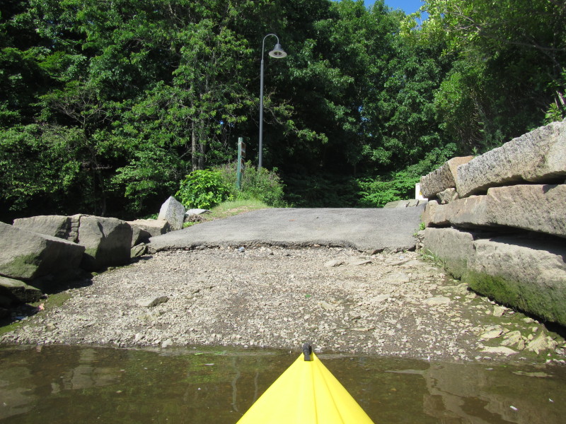
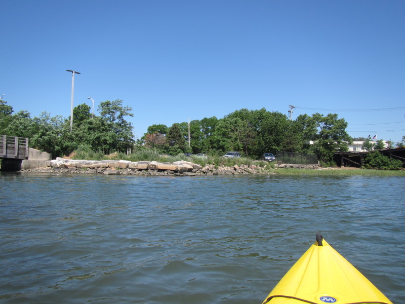
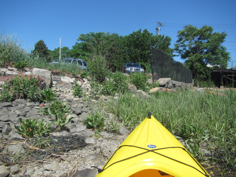
 The informal put in at Victory Park.
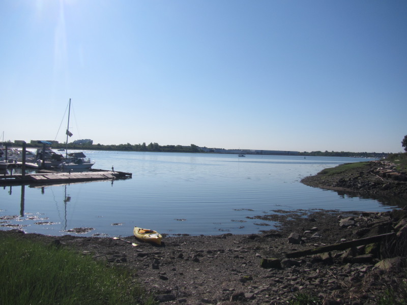
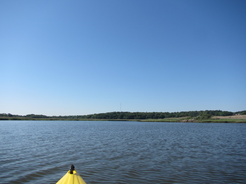
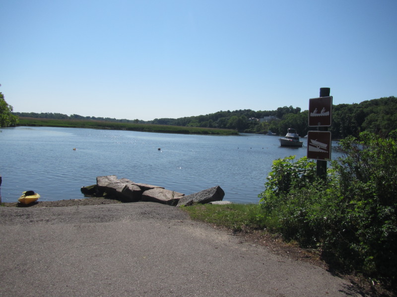
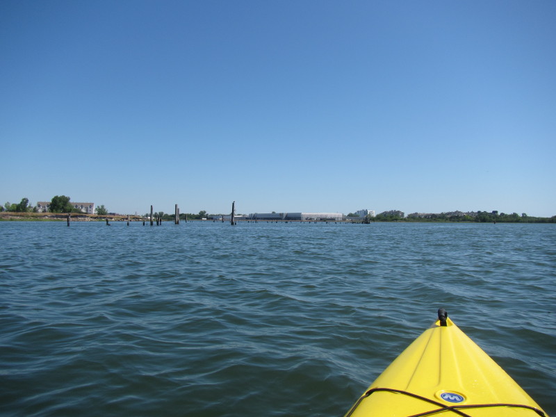
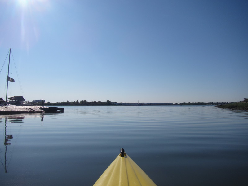 The Boston Kayaker just launched into the Neponset River.
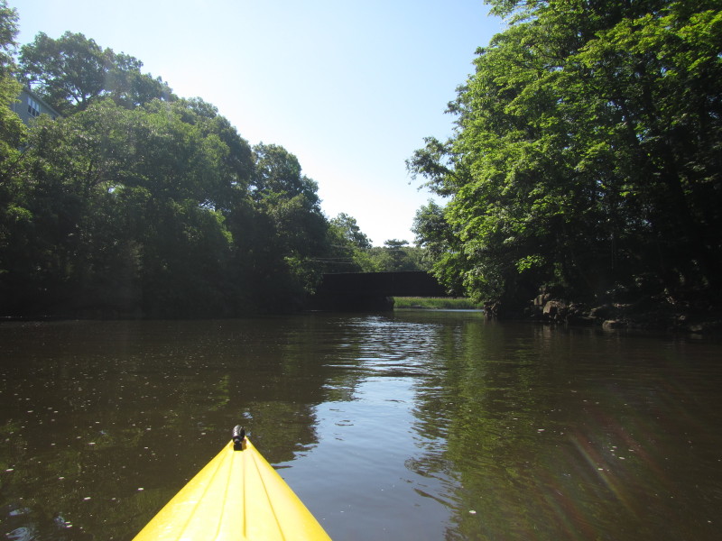
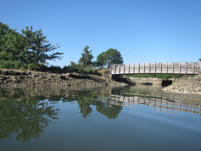 Looking to my right is this footbridge.
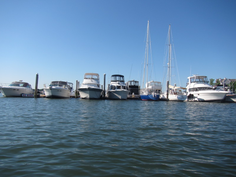
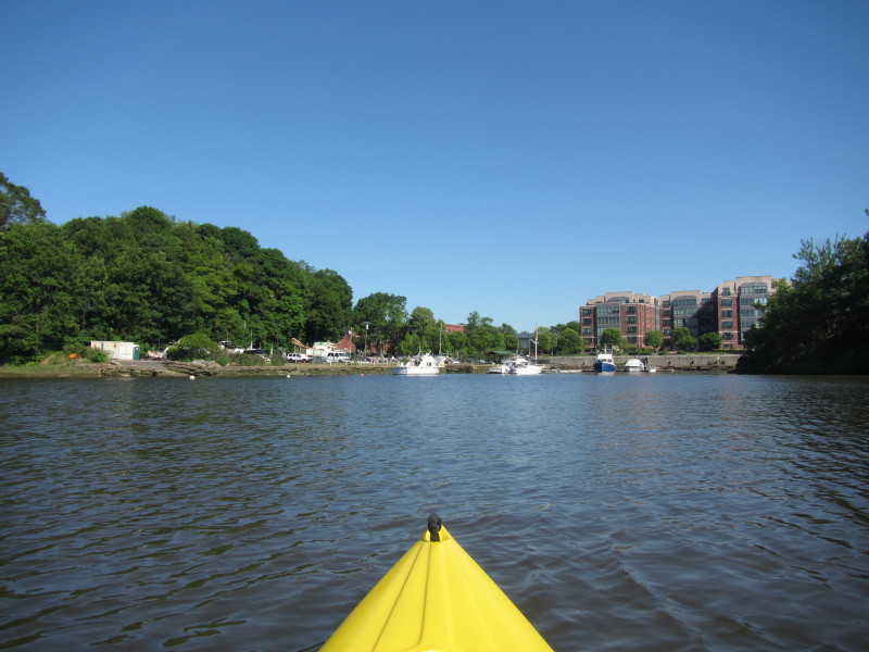
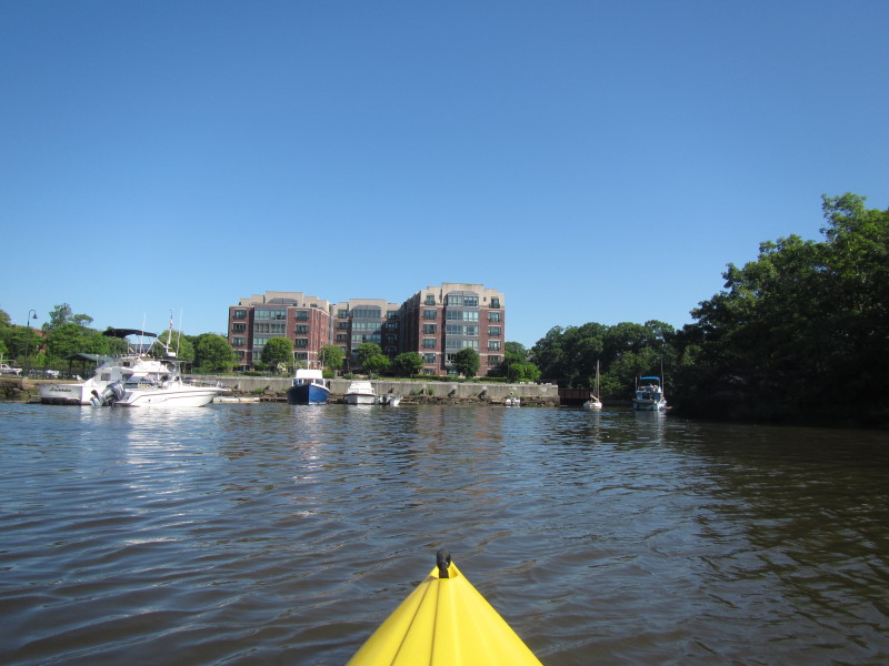
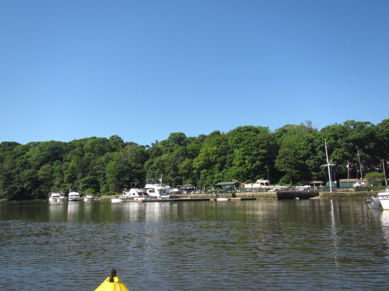
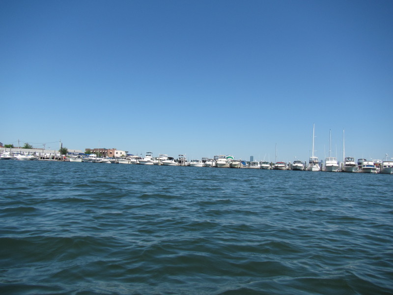
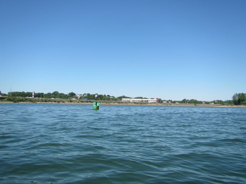
 To my left is the marina next to Victory Park.
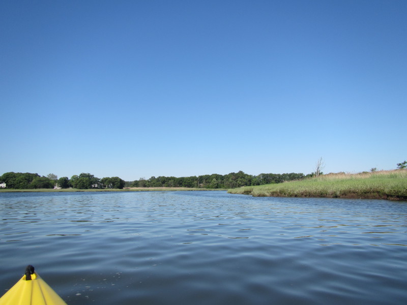
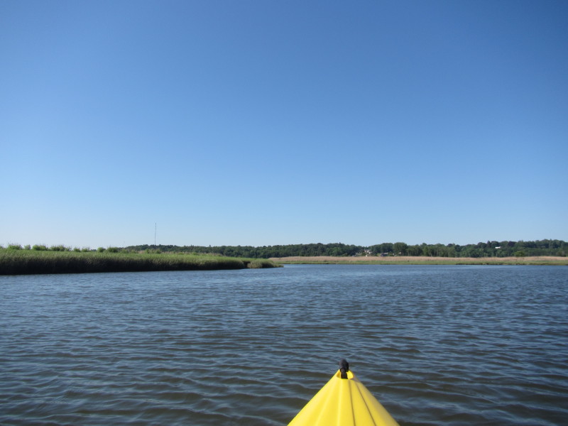
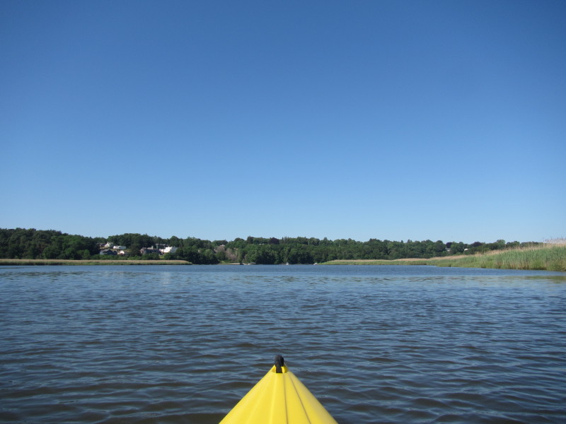
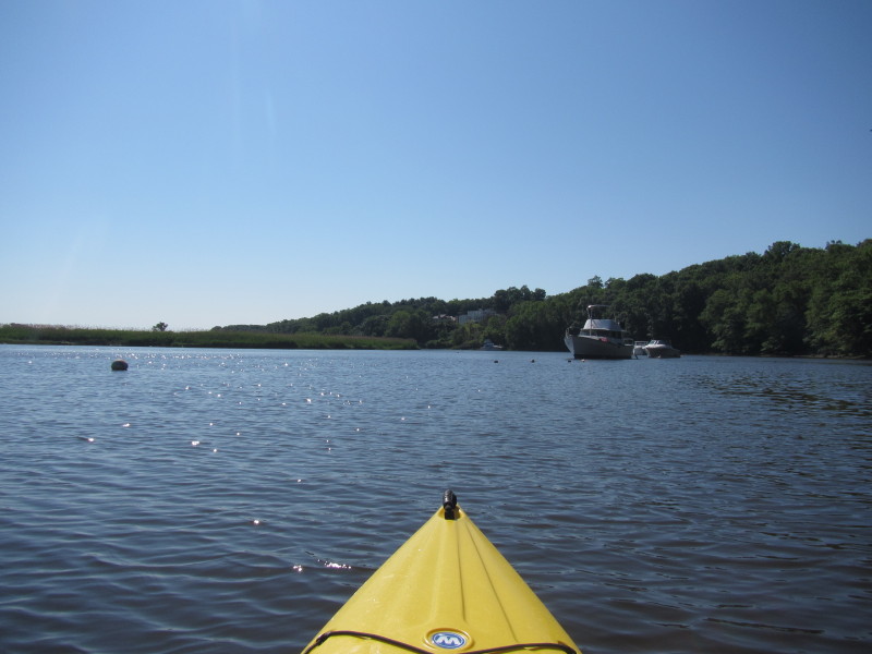
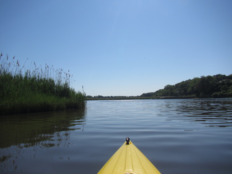
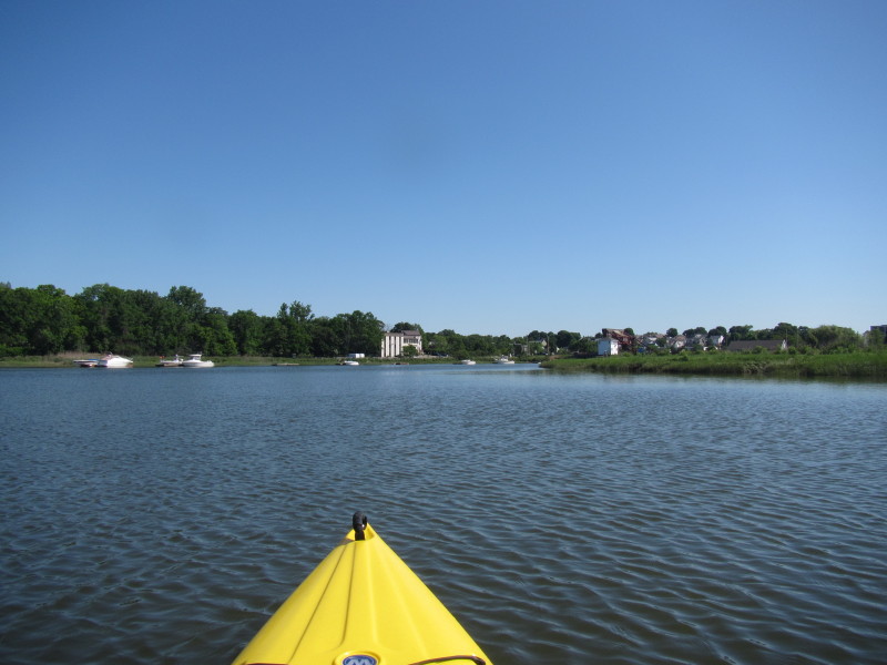
 Now paddling south upstream on the Neponset River.
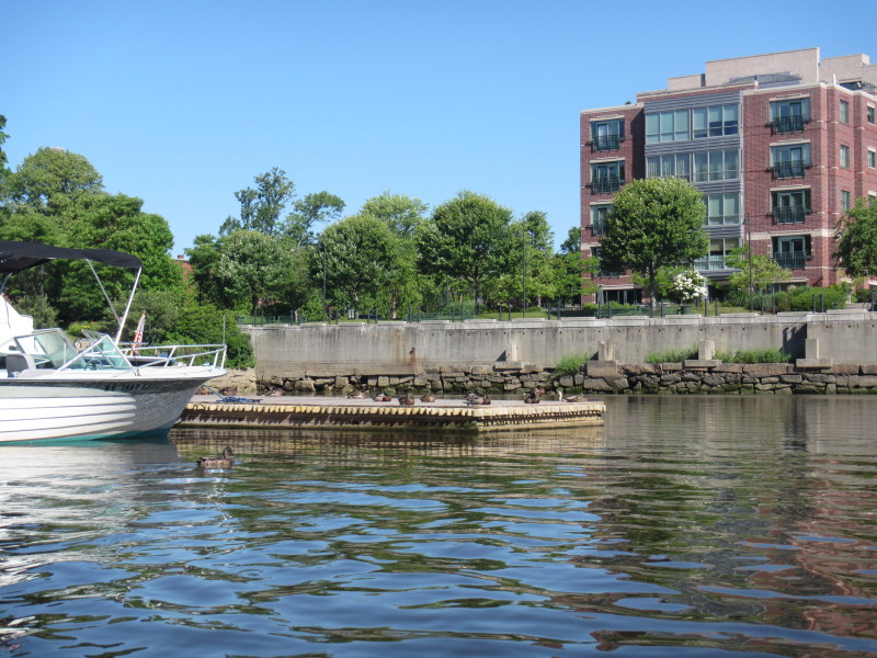
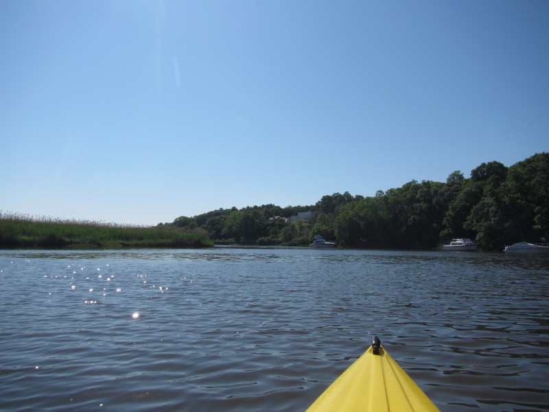
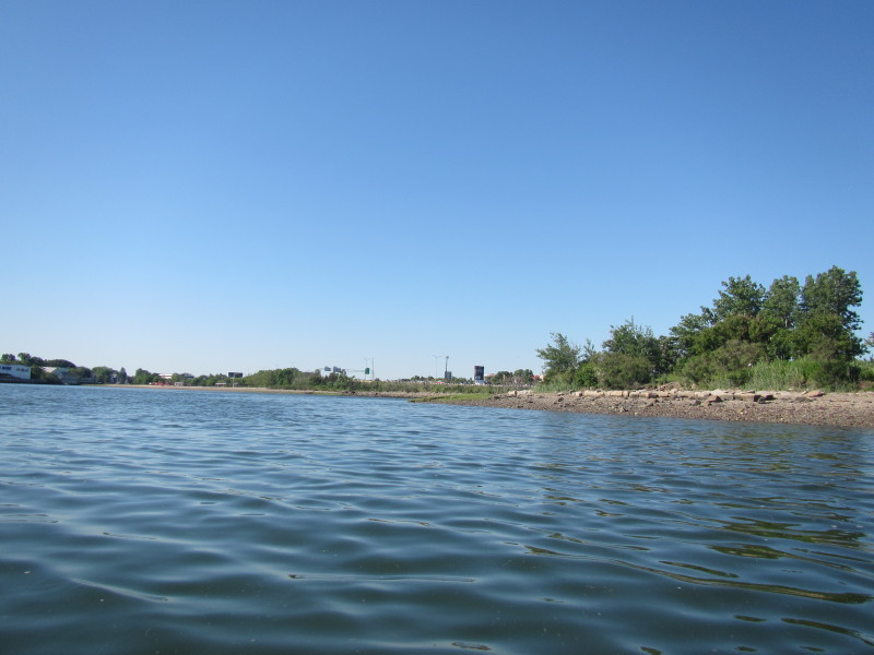 Following the shorelines of Victory Park on my right.
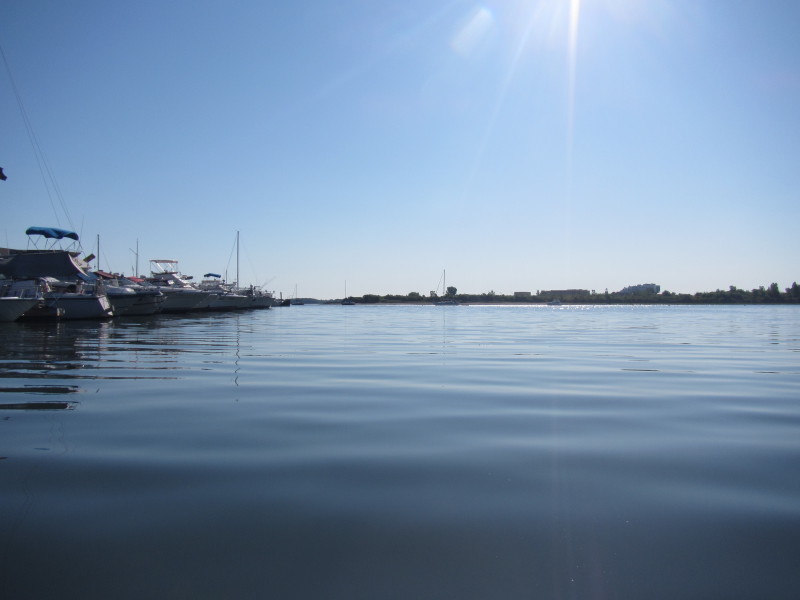
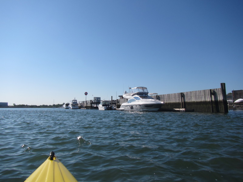
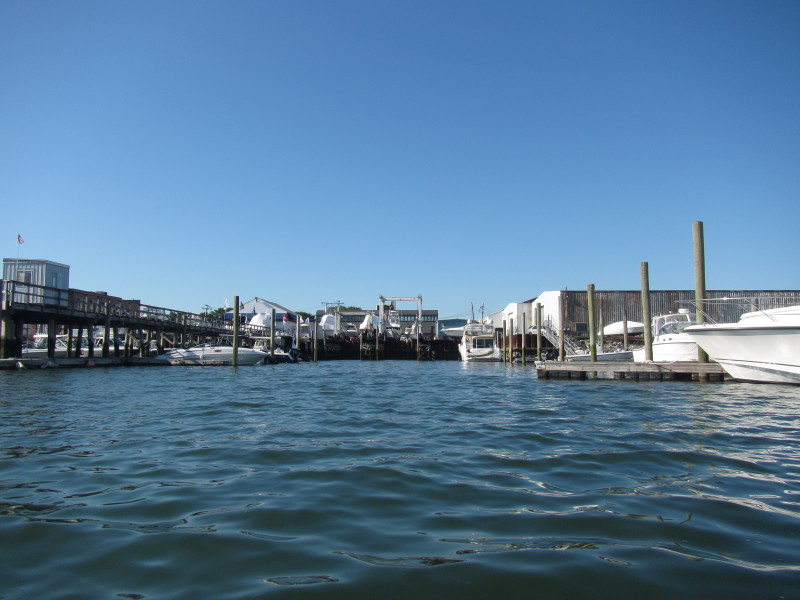
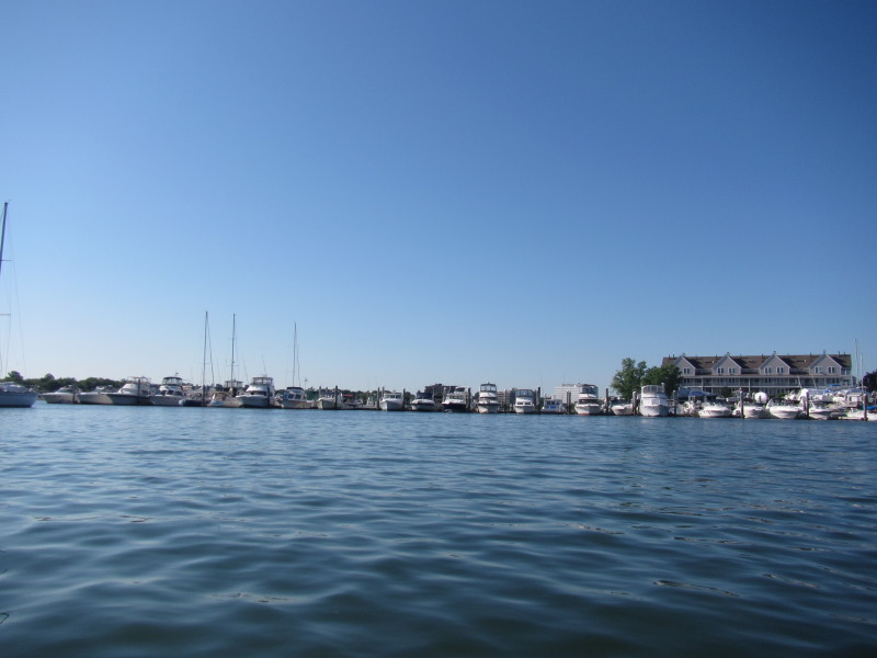
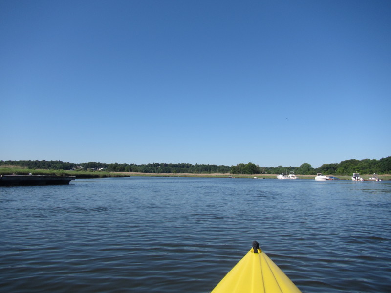
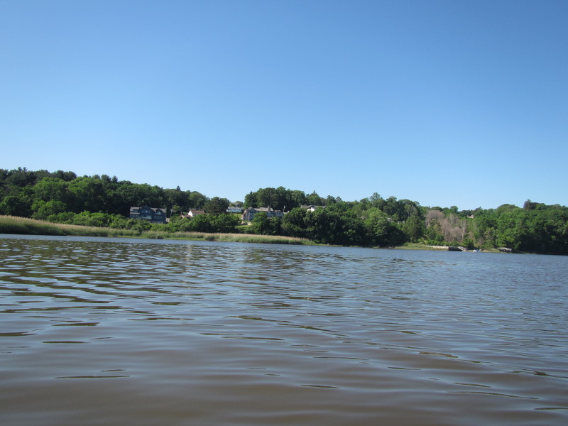
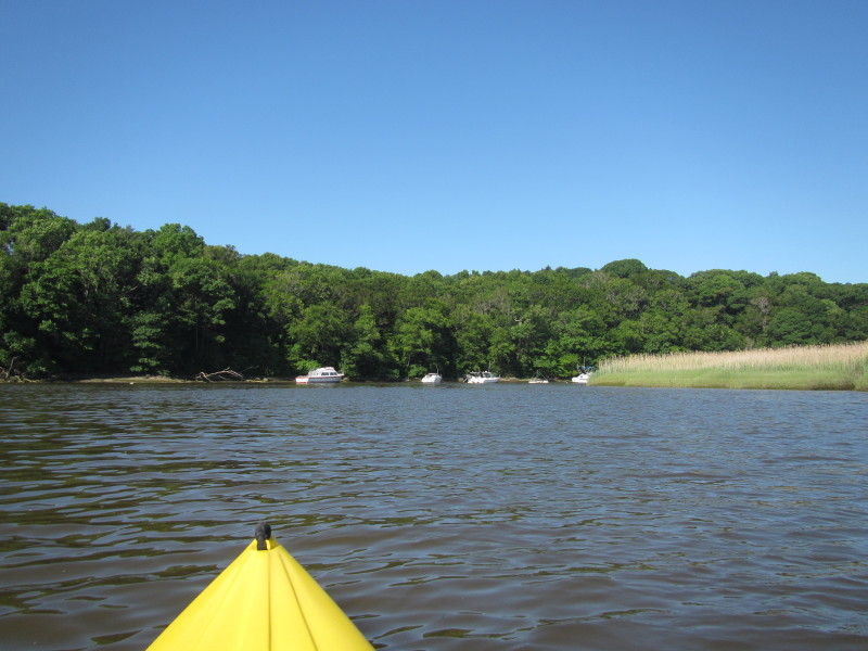
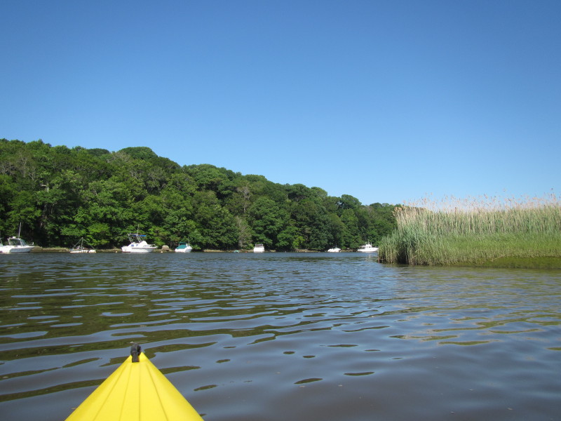
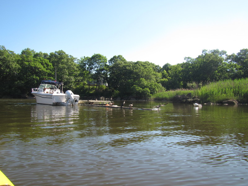
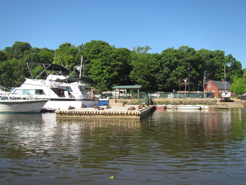
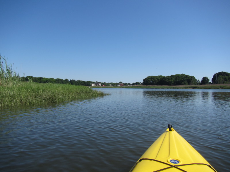
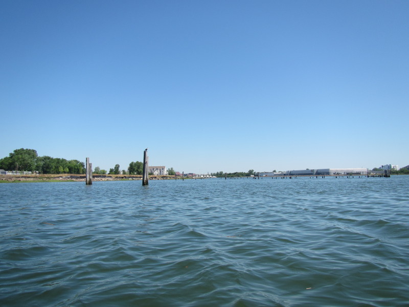
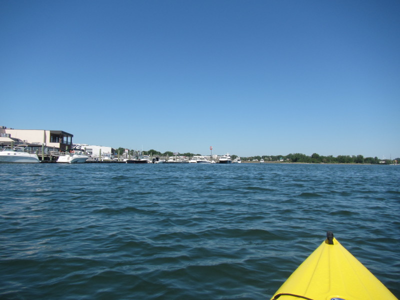
 Continuing south, more marinas.
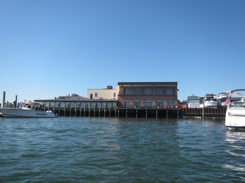 Water-front restaurant.
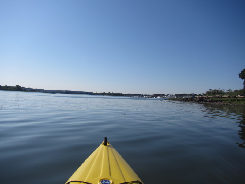
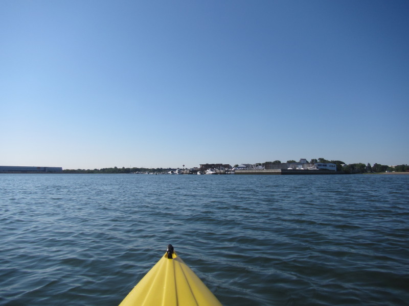
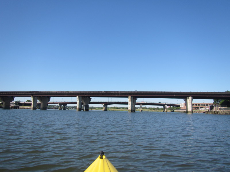
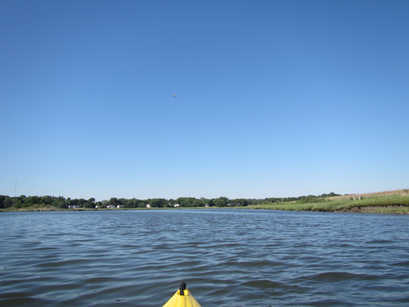
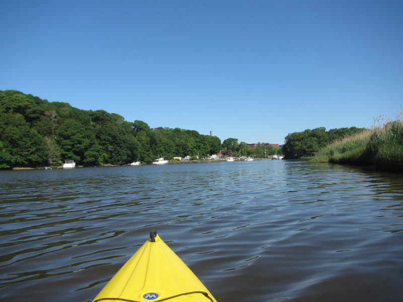
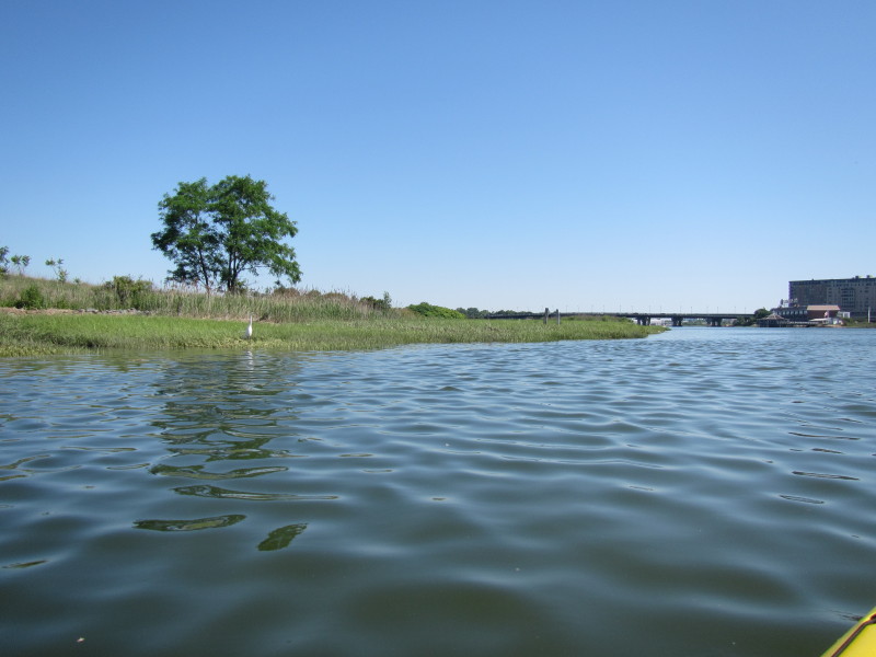
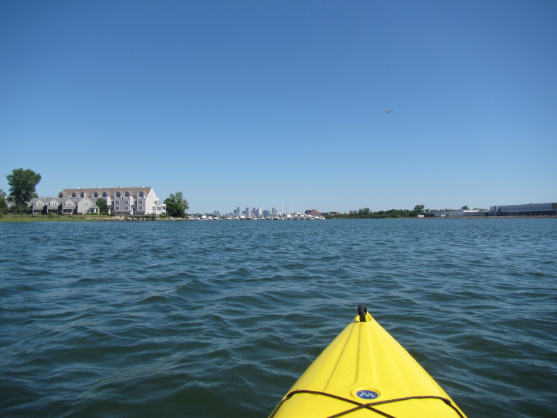
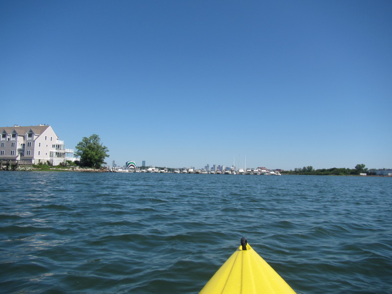
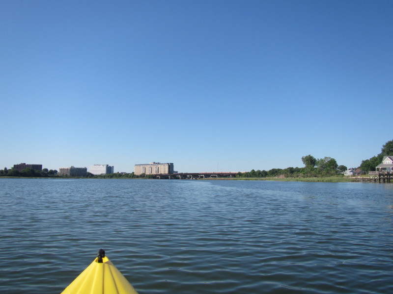 I can now see the bridges to Quincy MA.
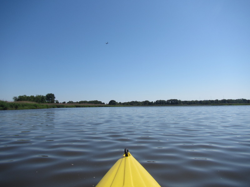
Red Line train on the rail bridge (hard to see in the picture). 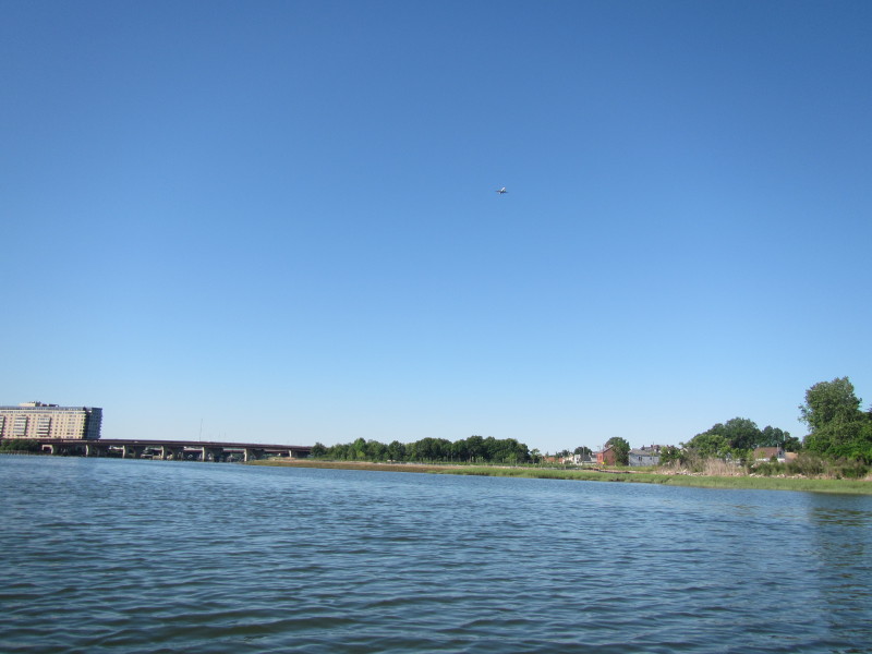 An airplane approaching Logan Airport.
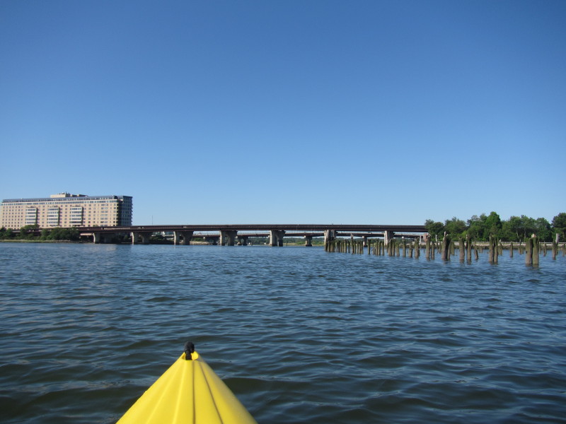
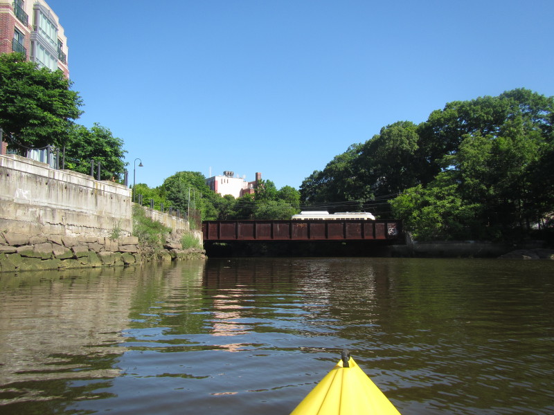
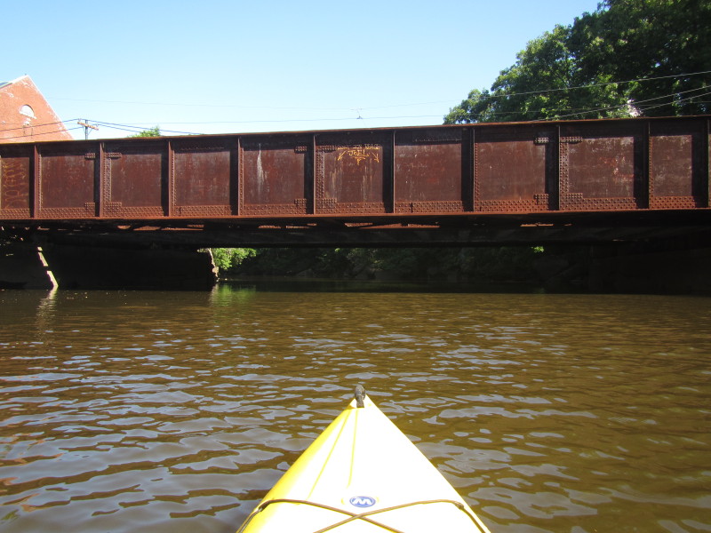
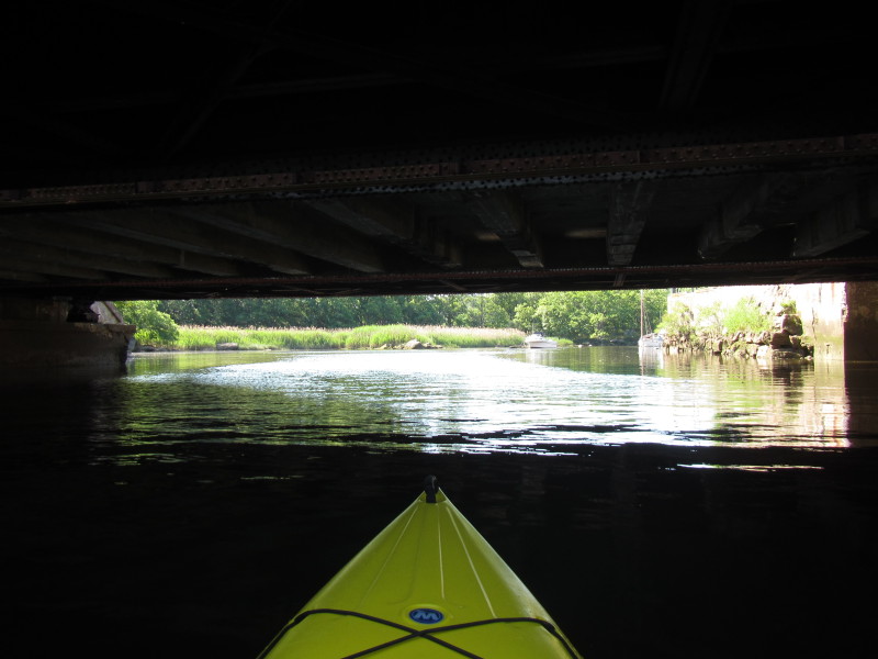
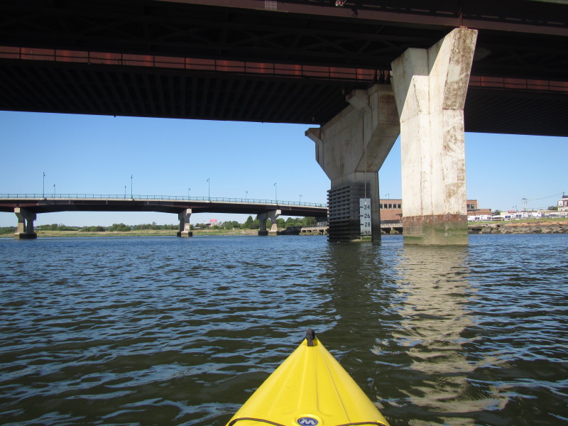 Passing under the railbridge on the Neponset River.
 This marker says 32 feet of clearance.
 Neponset Avenue bridge.
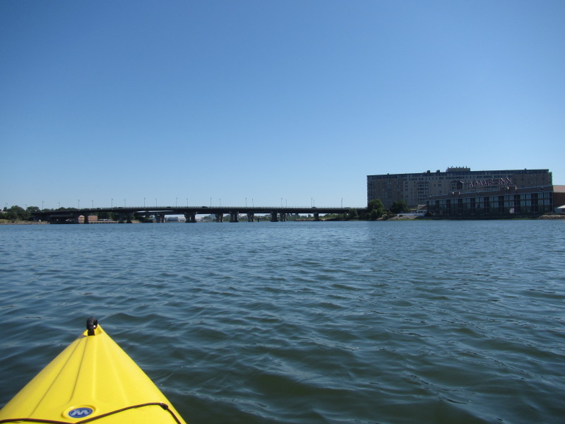
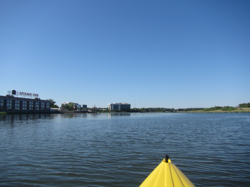 Best Western Adams Inn at my left.
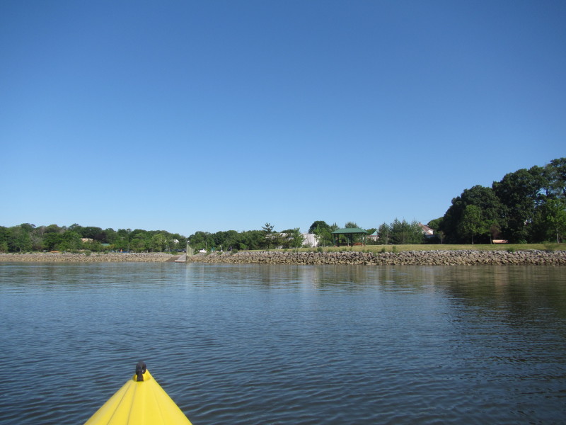
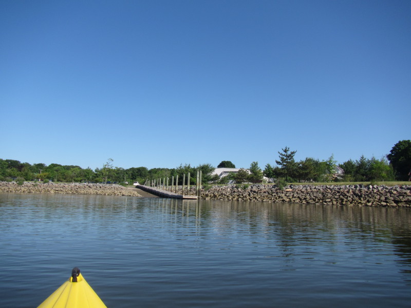
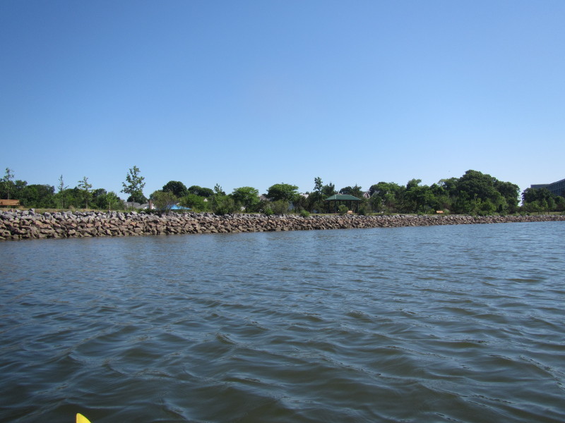
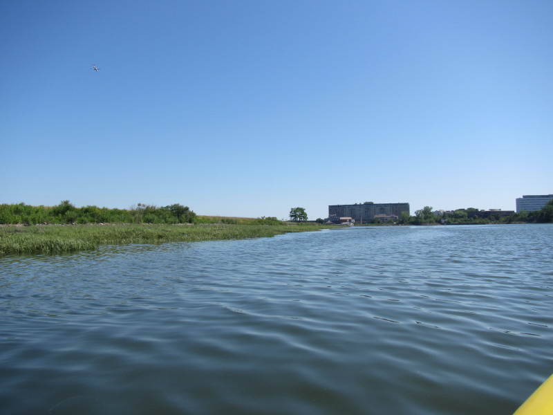
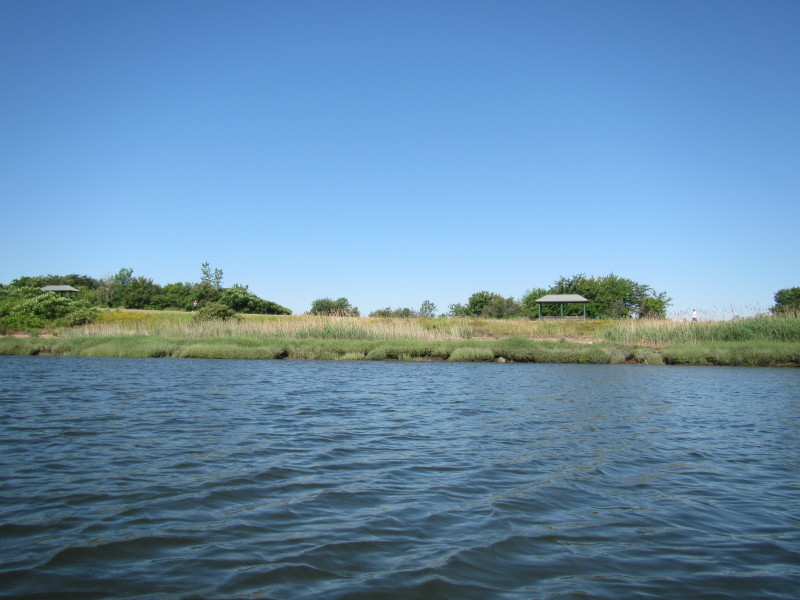 On my right is the start of the Pope John Paul II park.
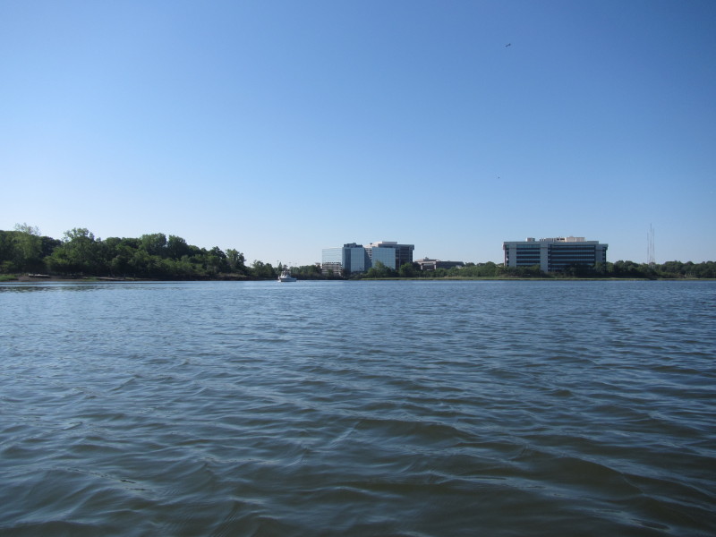
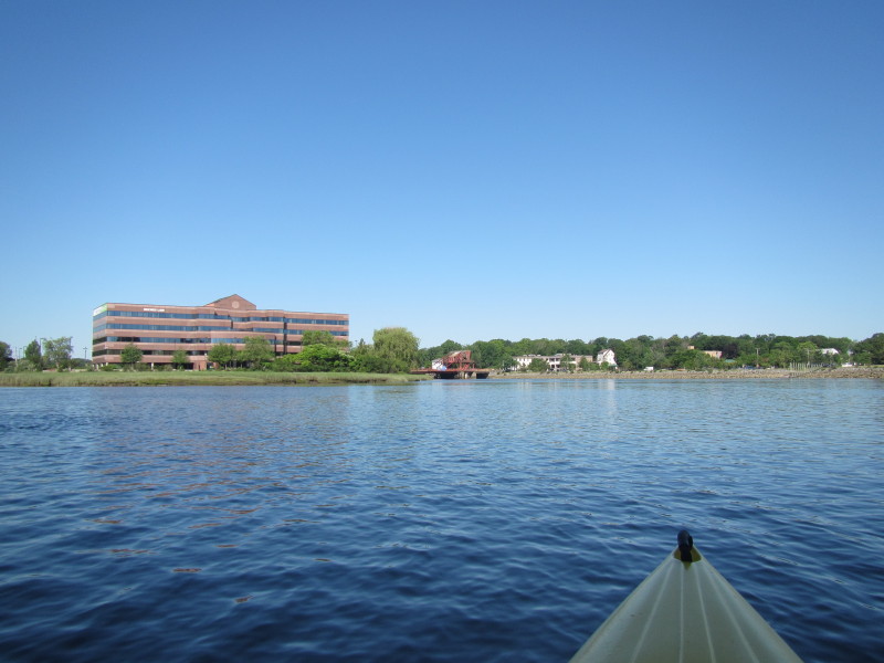
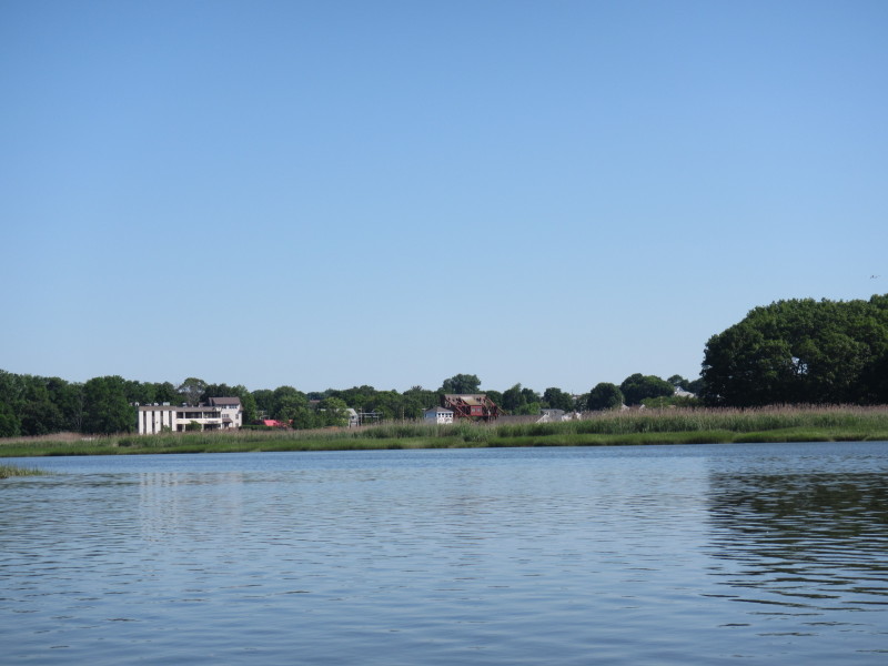
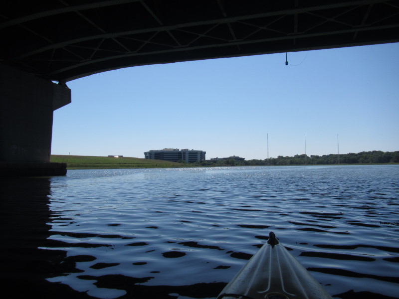
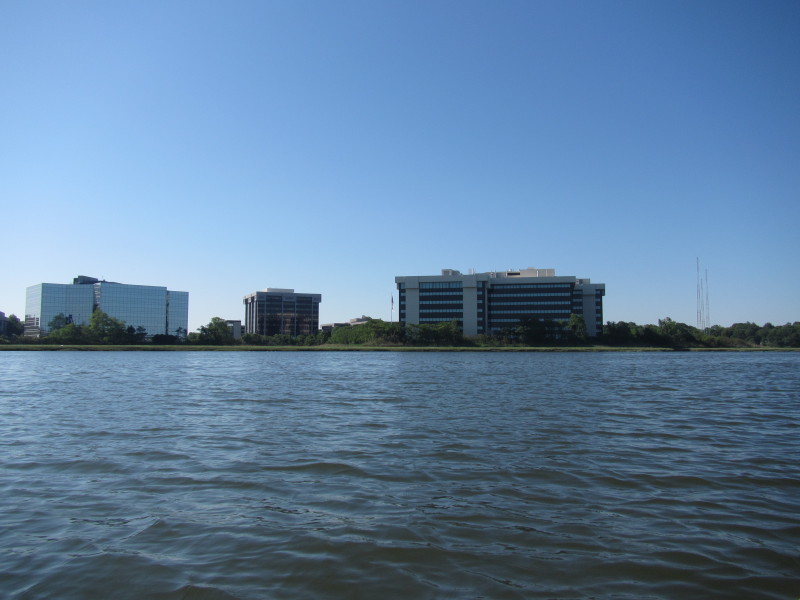 Office buildings on the south side of the Neponset.
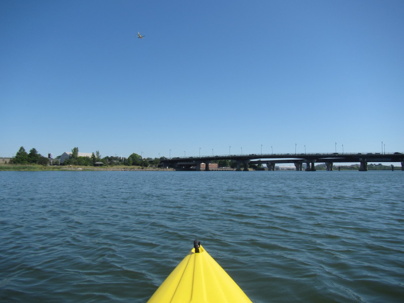
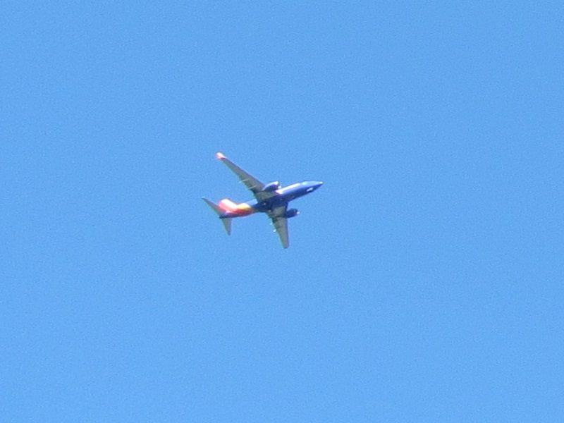 Full-sized commercial airplanes pass by every few minutes queueing to land at Boston's Logan airport.
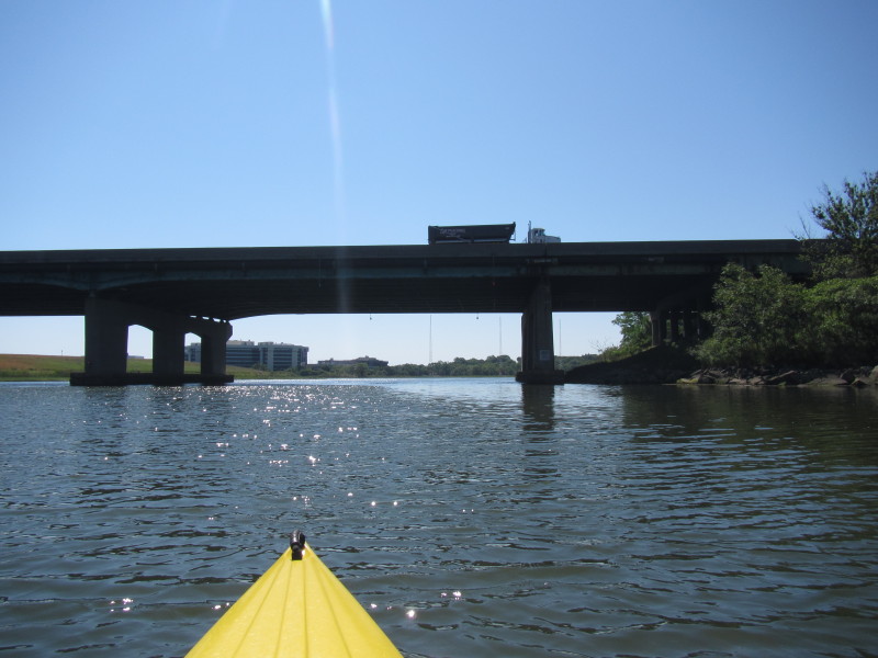
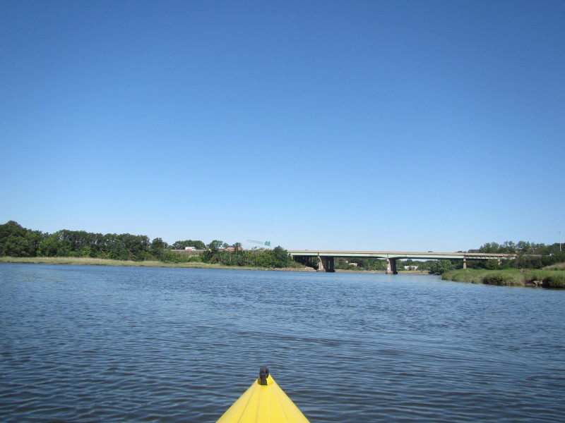 Approaching the I-93 bridges.
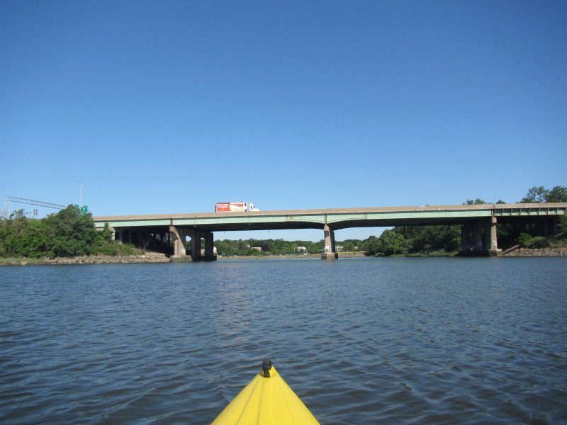
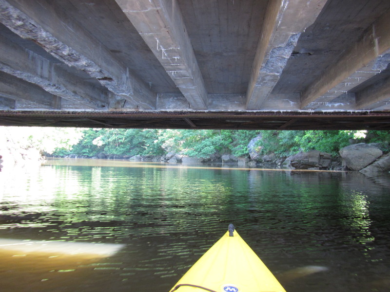
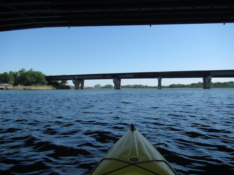
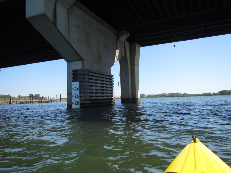
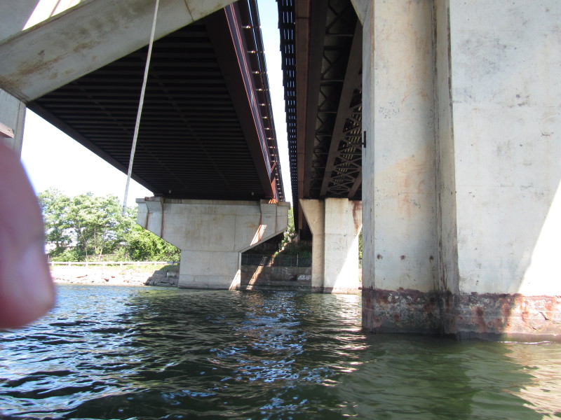
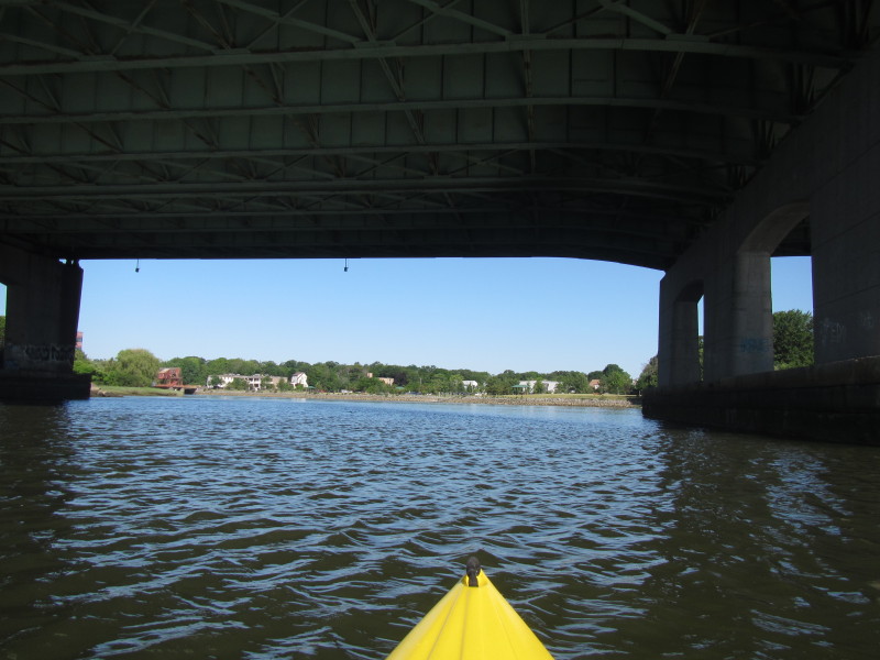 Paddling under the I-93 bridges over the Neponset River in Boston MA.
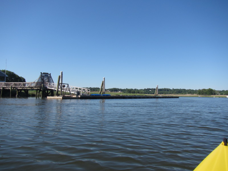
 The access to Neponset River from Pope John Paul II park.
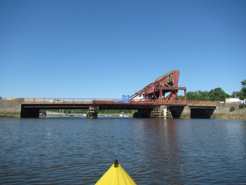
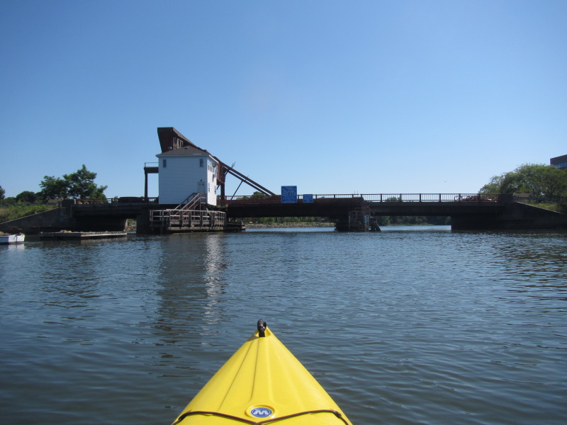
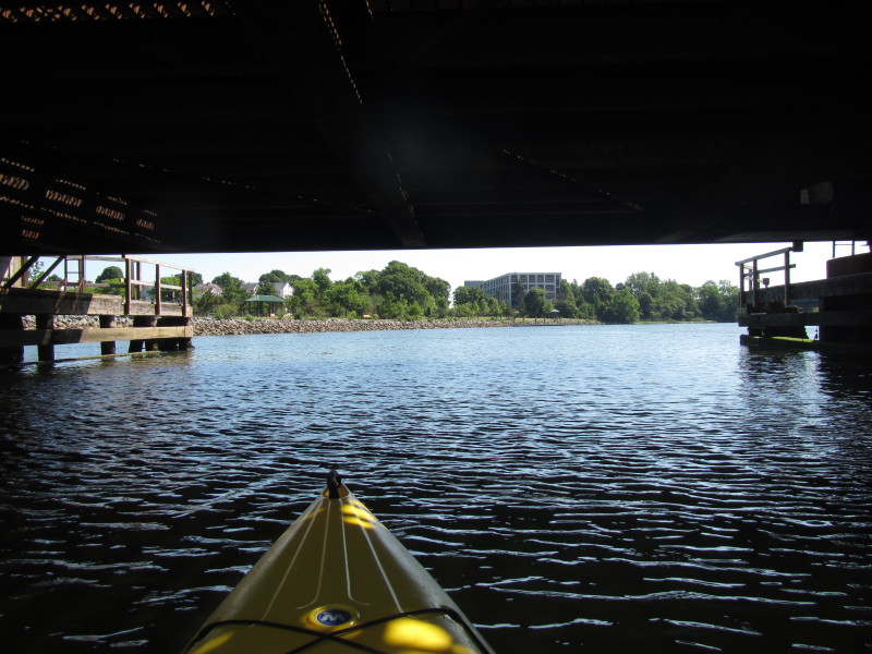
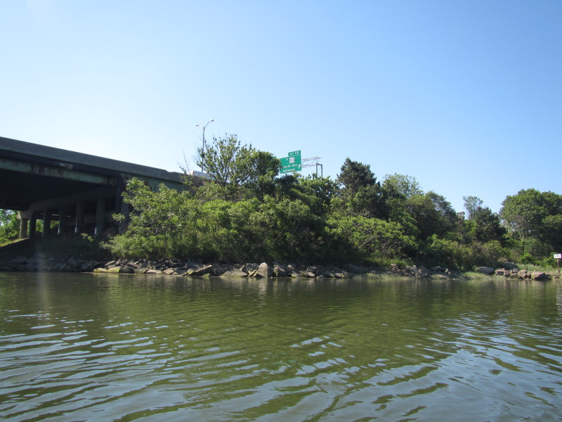
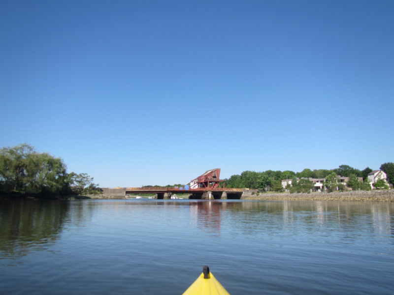 Approaching Granite Avenue bridge.
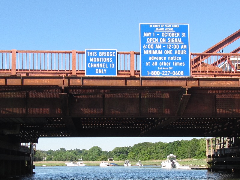
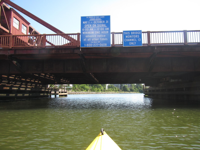
The signs on Granite Avenue bridge. 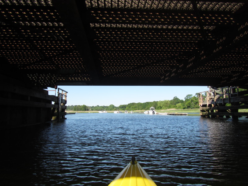
 Grill bridge.
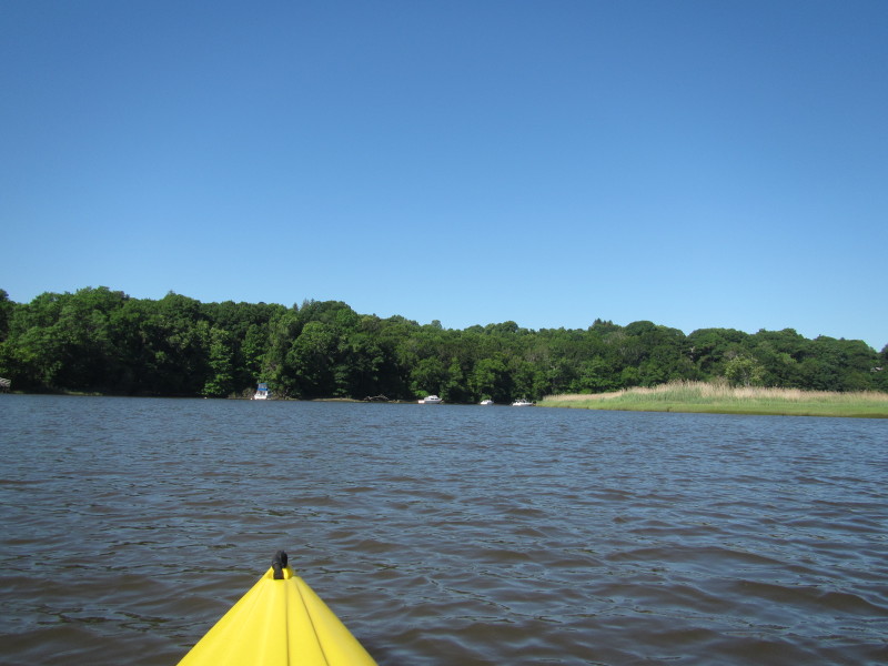
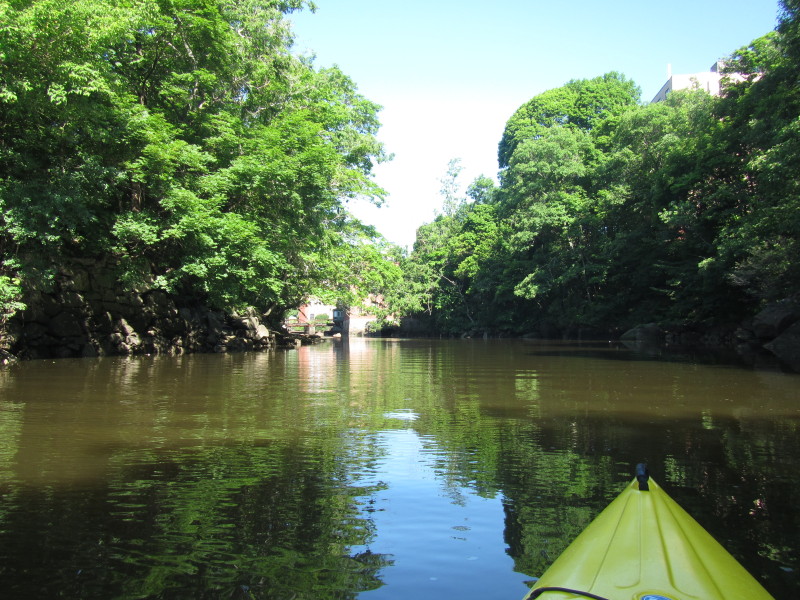
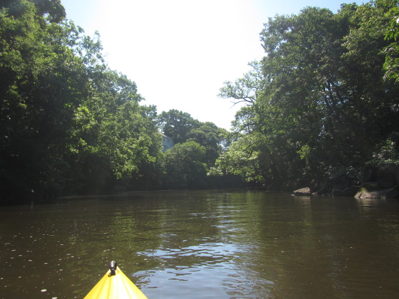
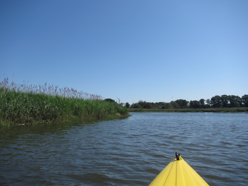
 Continuing upstream on Neponset River.
 River bending to the left . . .
 Sharp bend to the right.
 Turning sharp right.
 After the right bend, the Milto Wharf is now visible.
 On the left of the picture above is the designated alternate access on my kayak map.
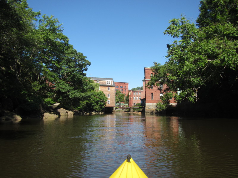
 The waterfront of the town of Milton.
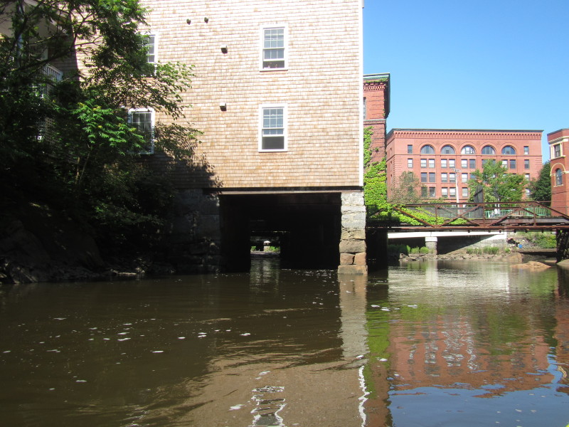 The Neponset River is flowing under this building.
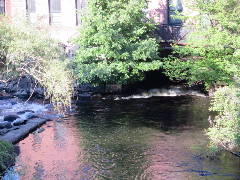
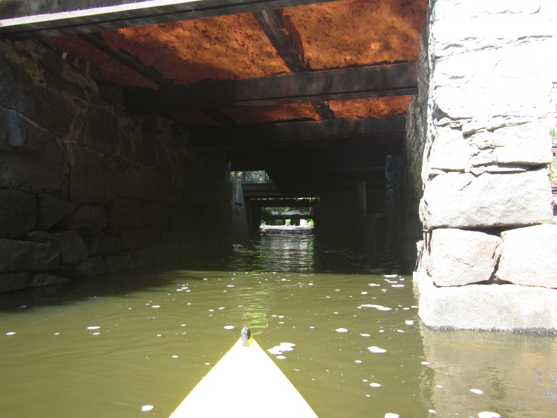 Within view is the Neponset River dropping and flowing fast under this building.
 The picture above is taken from a different time looking from above.
 Just turned around. I am now paddling with the flow of the Neponset River and back to where I came from.
 Boats at Milton Wharf.
 Landed at Milton Wharf.
 The access to Neponset River from Milton Wharf.
 Back on Neponset River.
 Sharp bend to the left.
 An airplane.
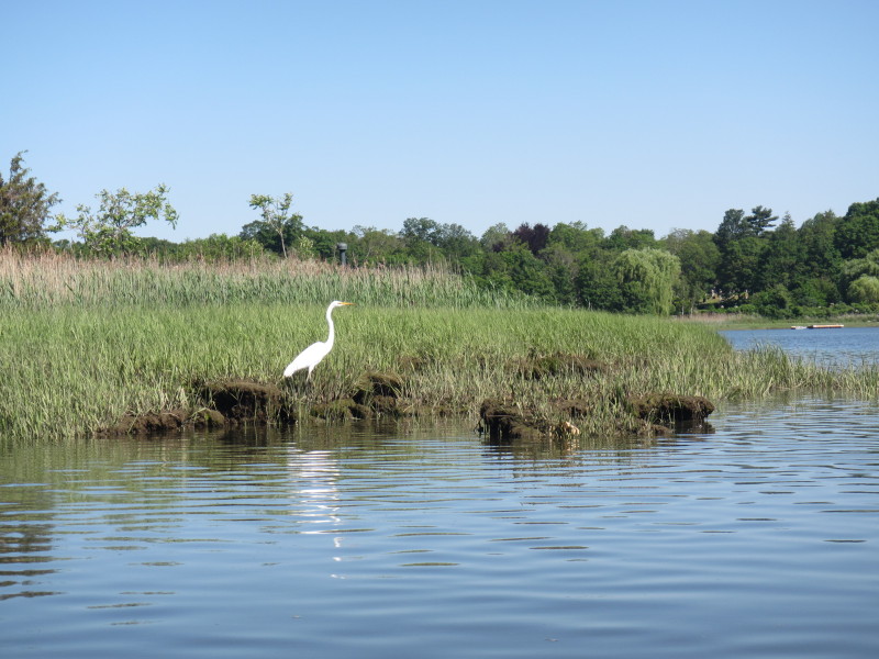
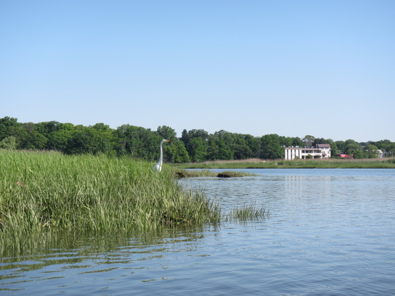 A white heron on the banks of Neponset River.
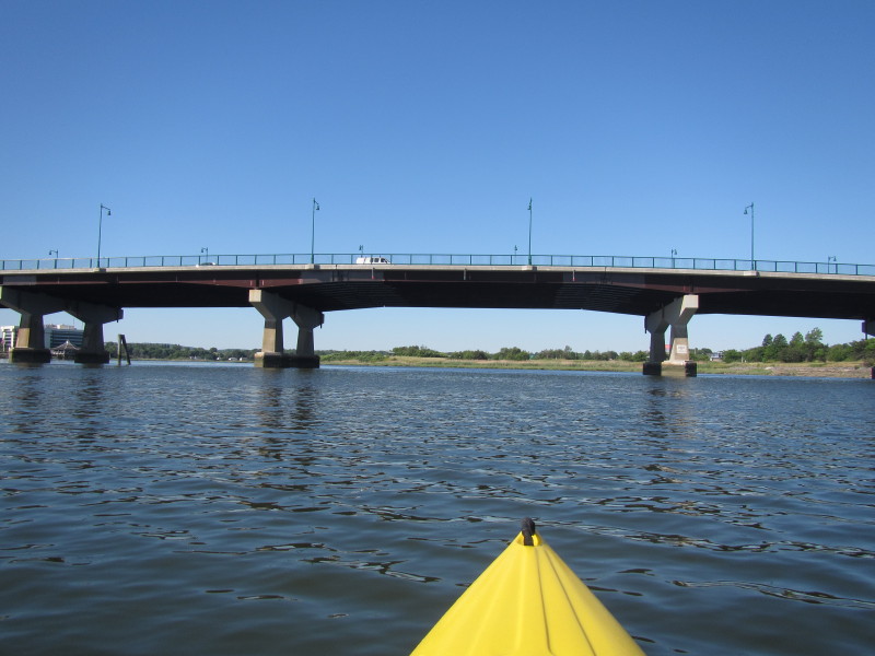
 Granite Avenue bridge.
 On the left, the Pope John Paul II park.
 I-93 bridges over the Neponset River.
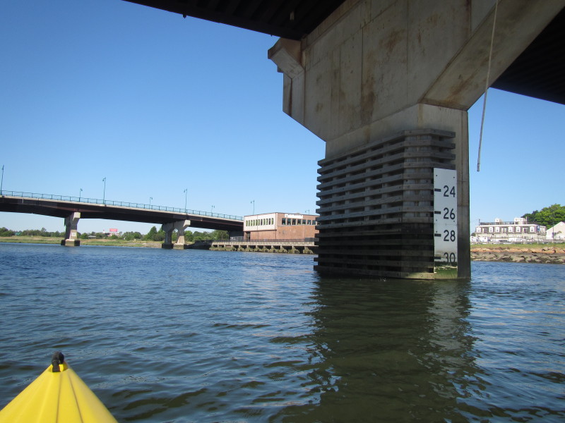
 Marker now reads 29 feet of clearance. Was 32 feet earlier.
After checking pictures and timestamps, that was a 3-feet increase in 1 hour 38 minutes of rising tide. 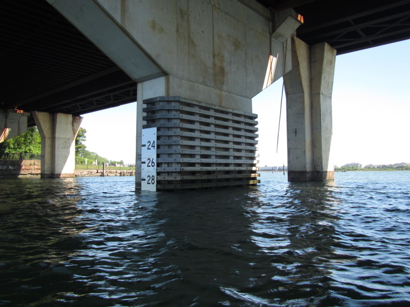
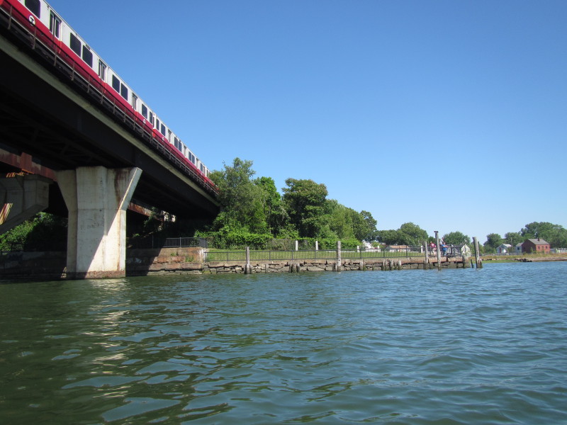 The Red Line train passing overhead.
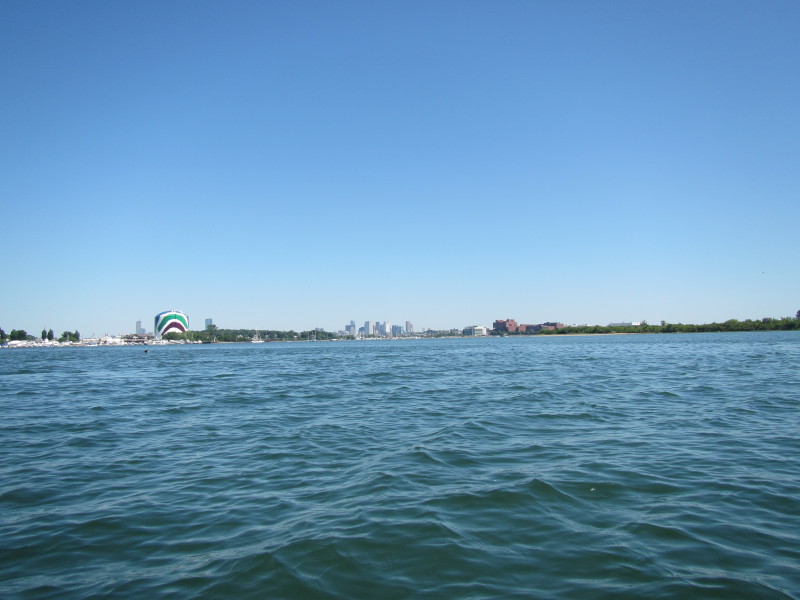
 In the far background are the skyscrapers of downtown Boston.
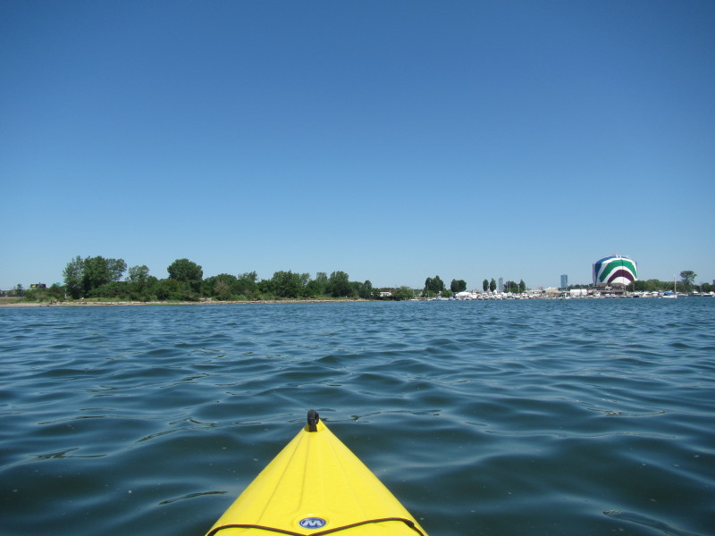
 A Boston landmark, the gas tank (green and black stripes).
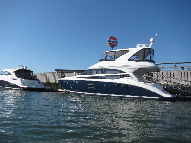
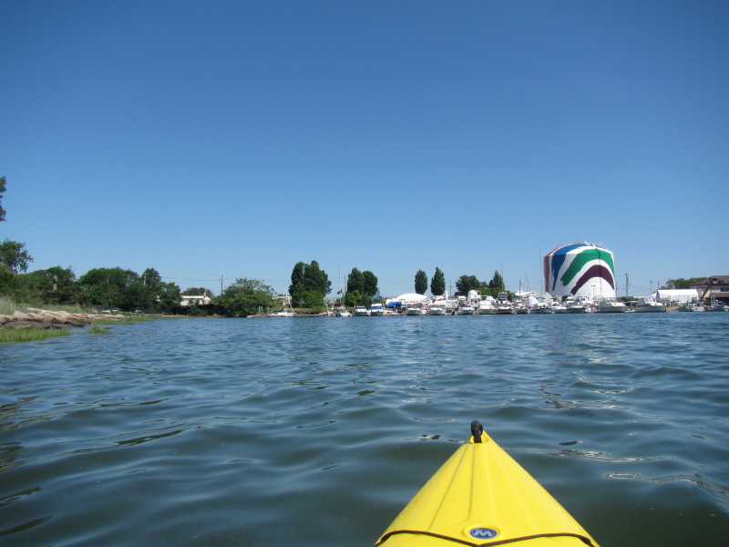
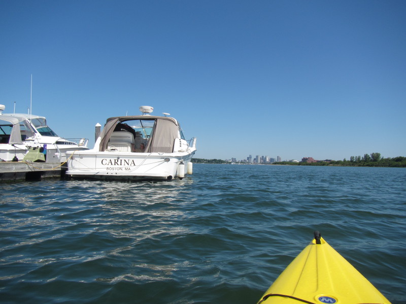 This boat reminded me of a friend in California with the same name!
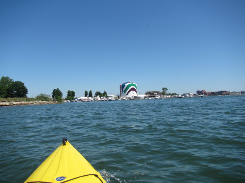
 Gas Tank on the left. Brown building on right is UMass (University of Massachusetts) Boston.
 I can now see Victory Park.
 Landed. Paddle time was 2 hours 20 minutes.
|