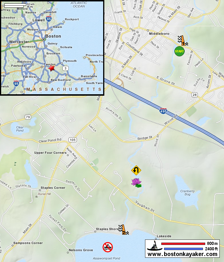
 Kayaker

|


|
Download printer-friendly
PDF version that fits in one page: |

|
|
Other resources:
Taunton River Watershed Alliance Explore RI's Blueways and Greenways: Wareham Street River Access (aka Thomas Memorial Park) Explore RI's Blueways and Greenways: Vaughan Street Bridge River Access Expolre RI's Blueways and Greenways: Upper Nemasket River Map and Guide Expolre RI's Blueways and Greenways: Upper Nemasket River Map and Guide (cached copy) Paddling.net: Nemasket River Trip Report Wikipedia: Nemasket River Nemasket Kayak Center All photos in this website are original and copyrighted. 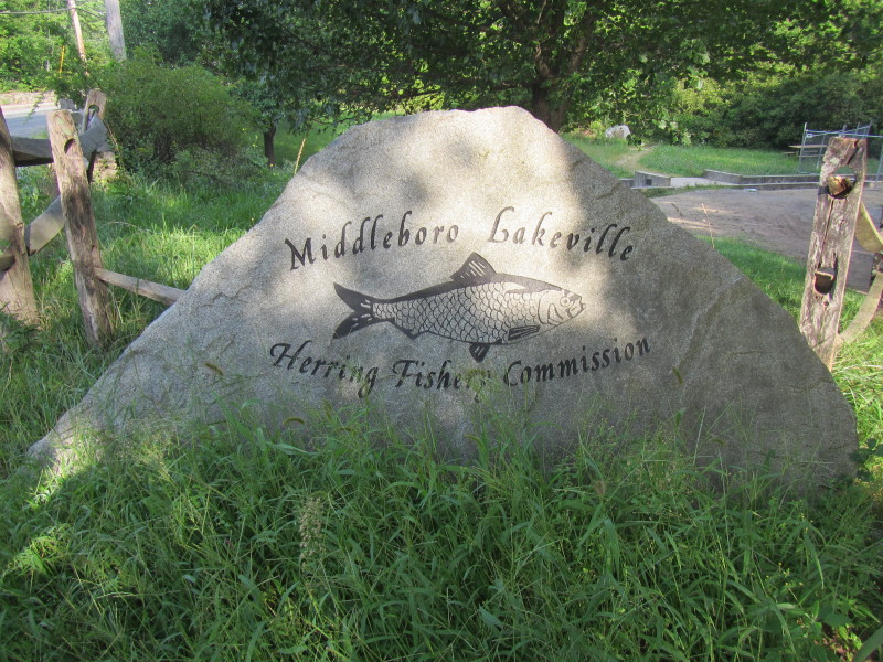 The marker at the Warehouse Street Upper Dam.
Trip date is August 2012. 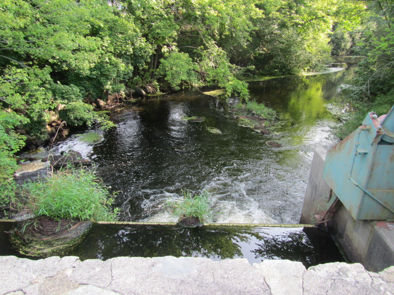 View of the top of the dam on the northern side from the Wareham Street Bridge.
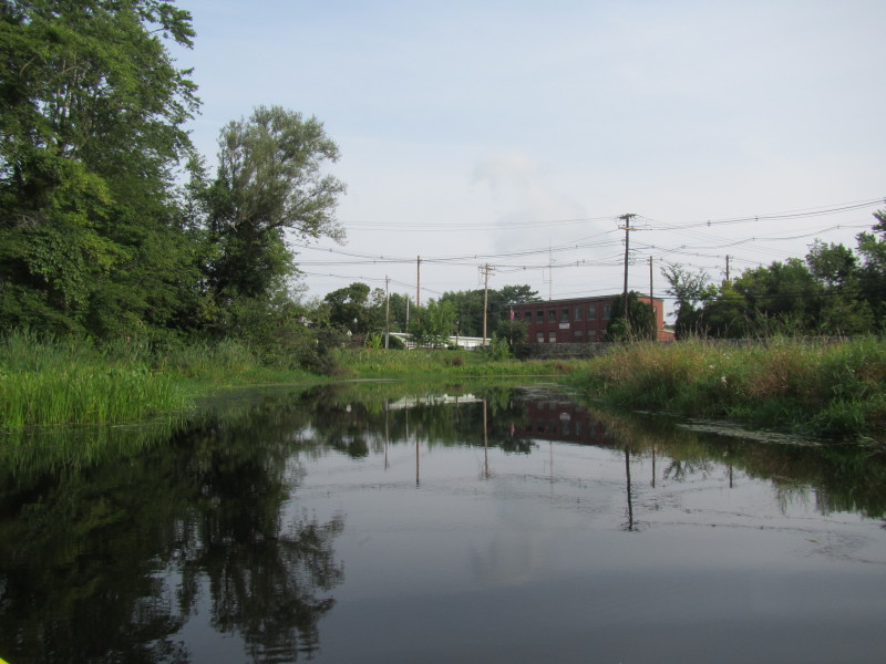
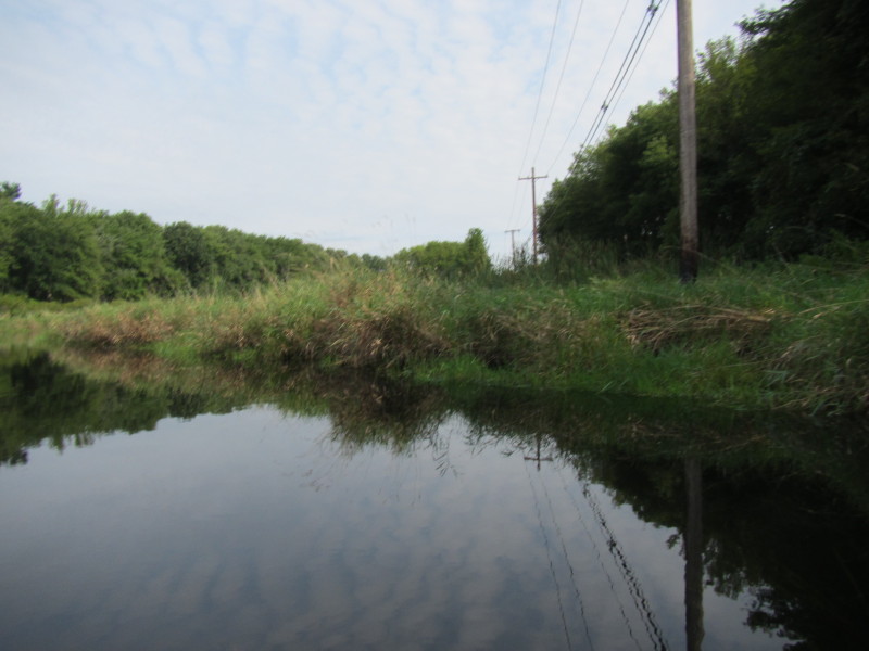
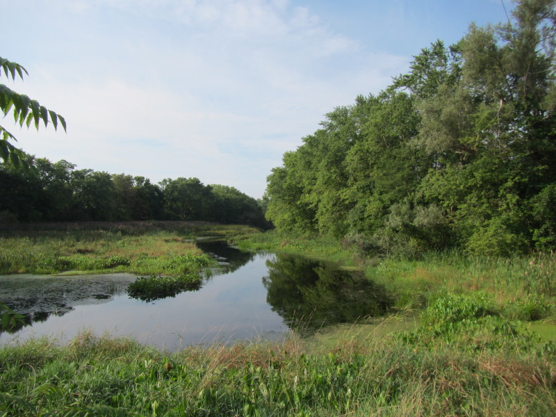 Looking south from the Wareham Street bridge, the Nemasket River, my route for today.
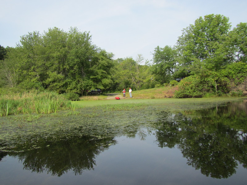
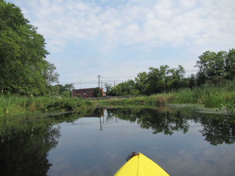
Put in spot is on the left of this picture. 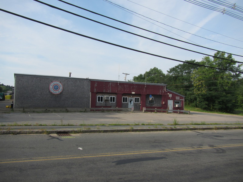 This is Middleboro Public Works building. Put in is on the right side in this picture.
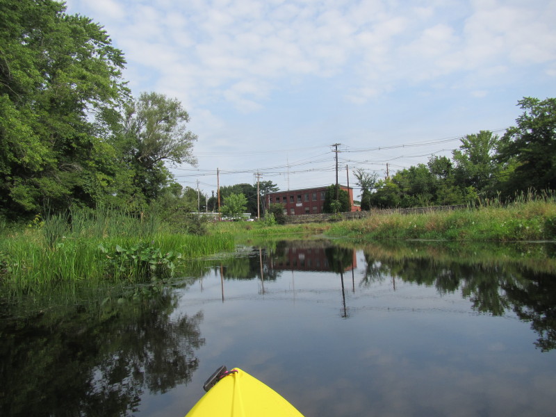
 At the put in to Nemasket River on Wareham Street in Middleboro MA.
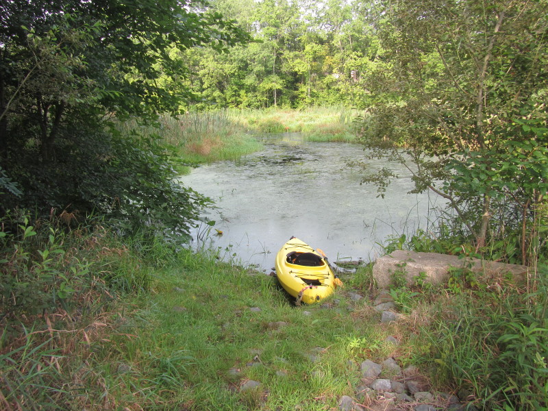
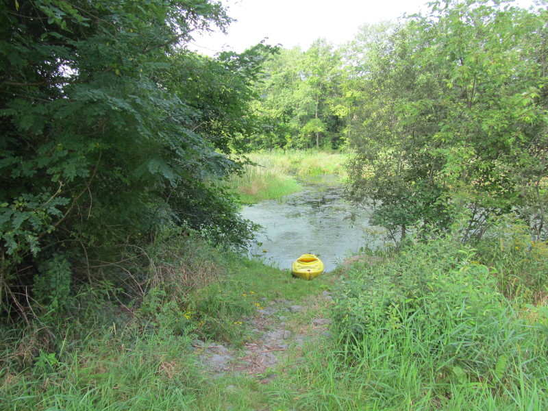
 Just launched on this small cove off the Nemasket River.
 Getting out of the launch cove and into the Nemasket.
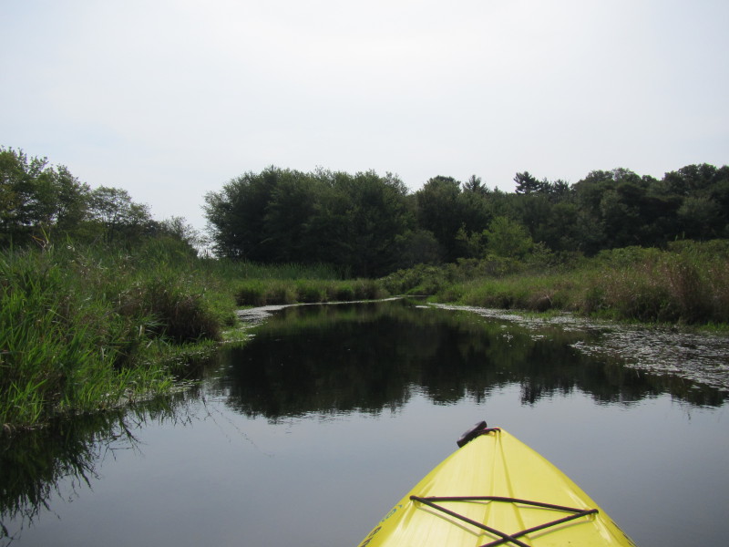
 Once out on the Nemasket, I looked downstream to my right
(so I will remember where to come back to!).
Once out on the Nemasket, I looked downstream to my right
(so I will remember where to come back to!).
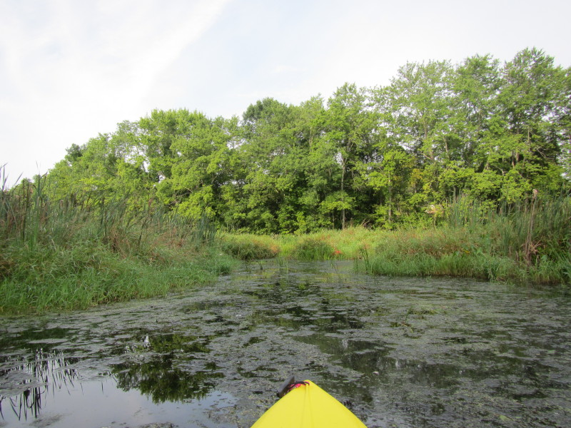
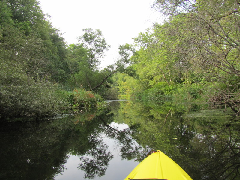
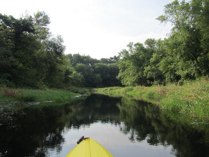
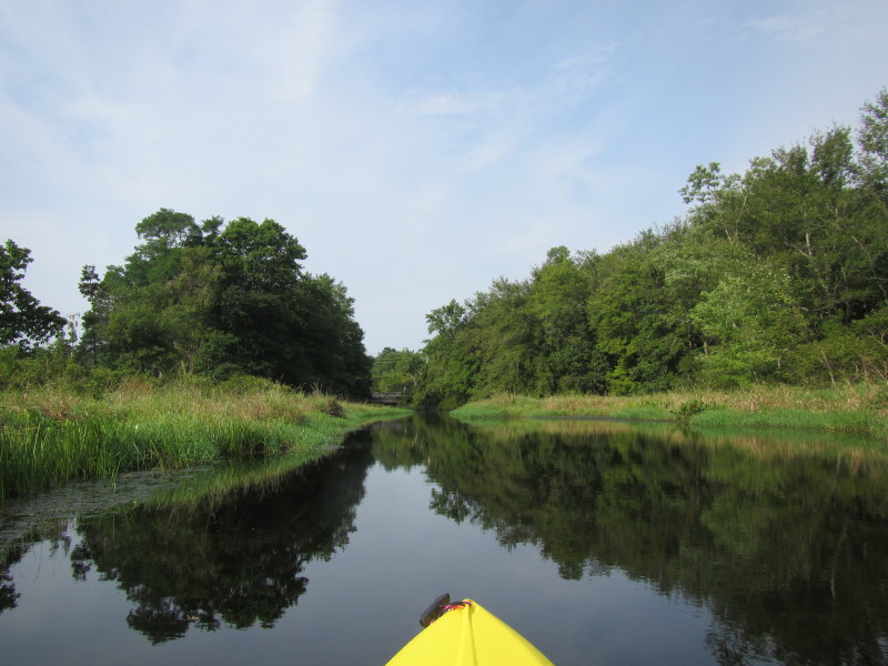
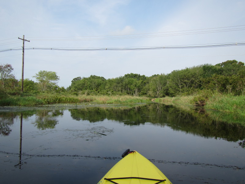
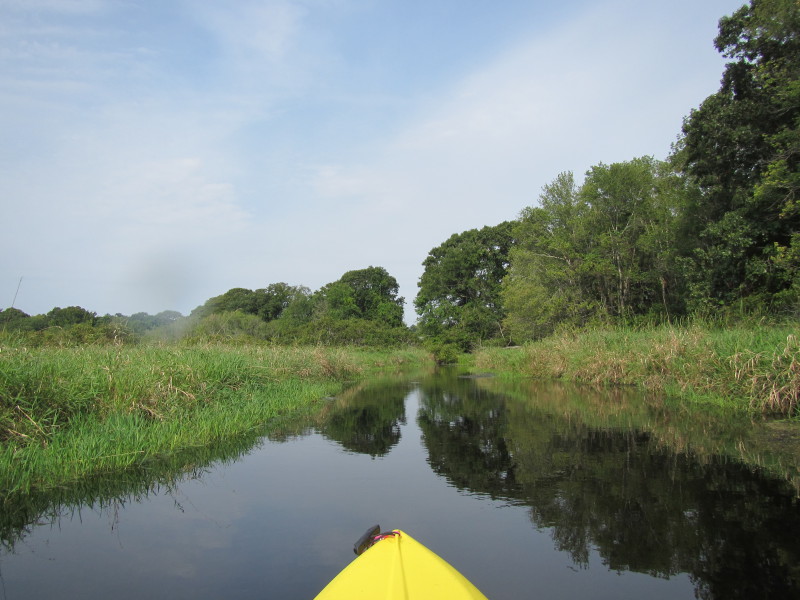
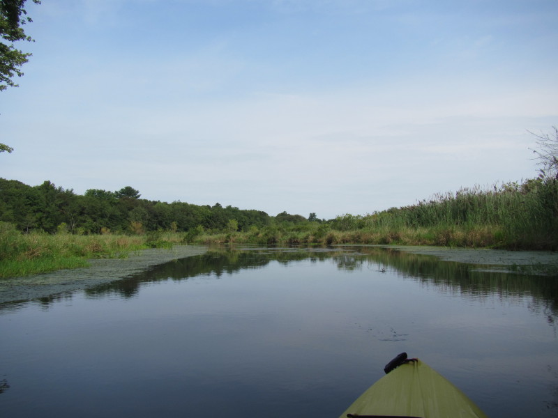
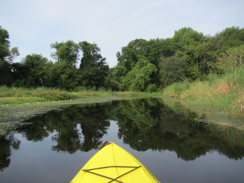
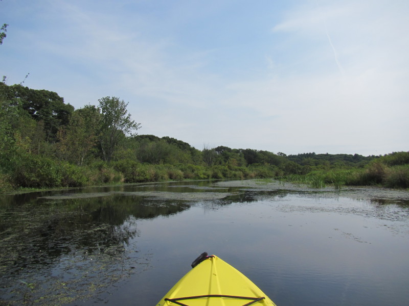
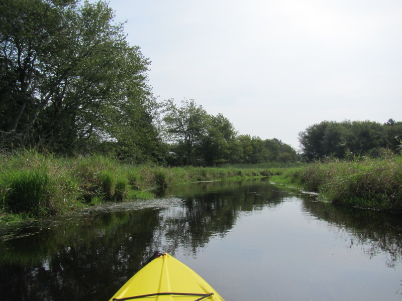
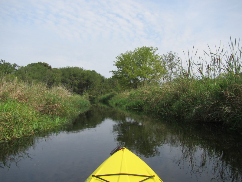
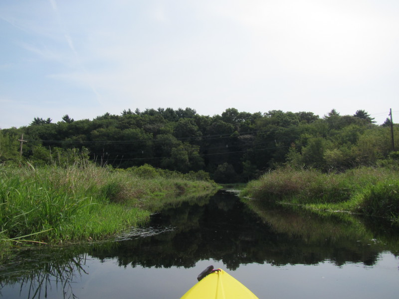
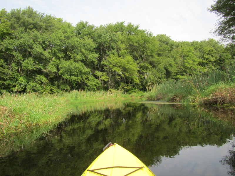
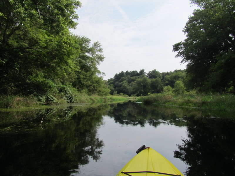
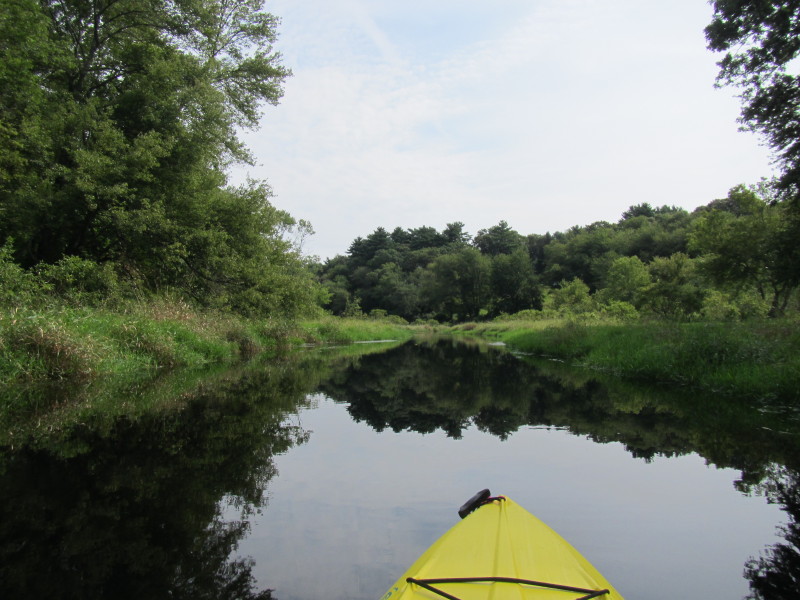
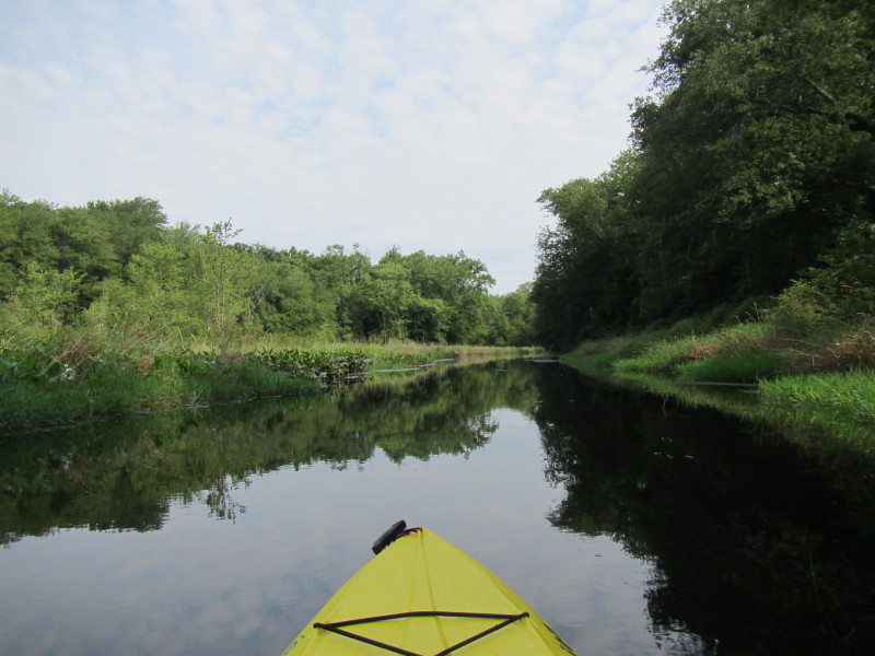
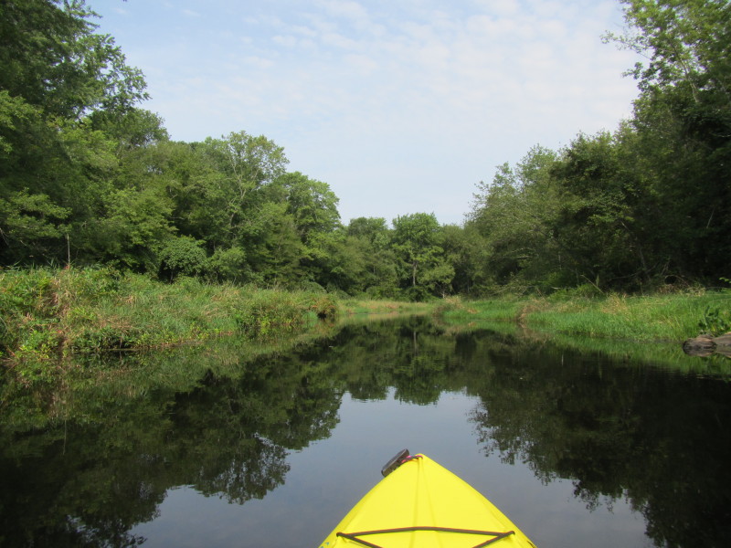
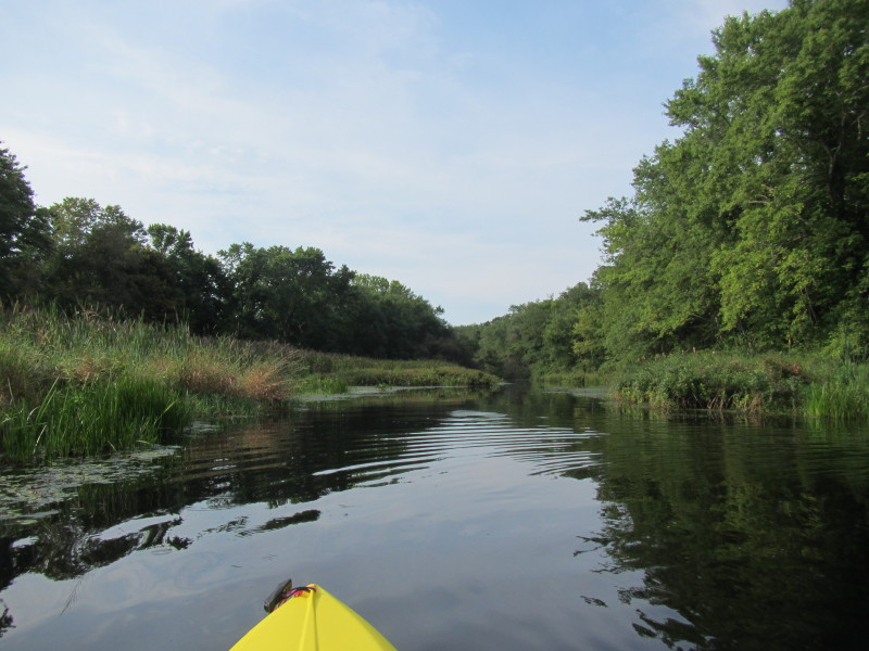 Now I am paddling south upriver on the Nemasket River.
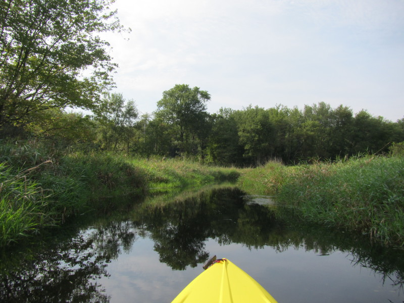
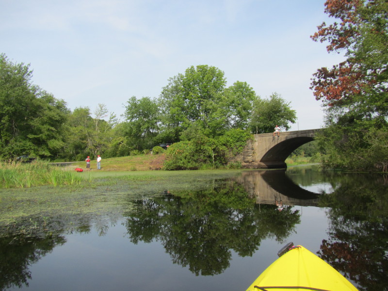
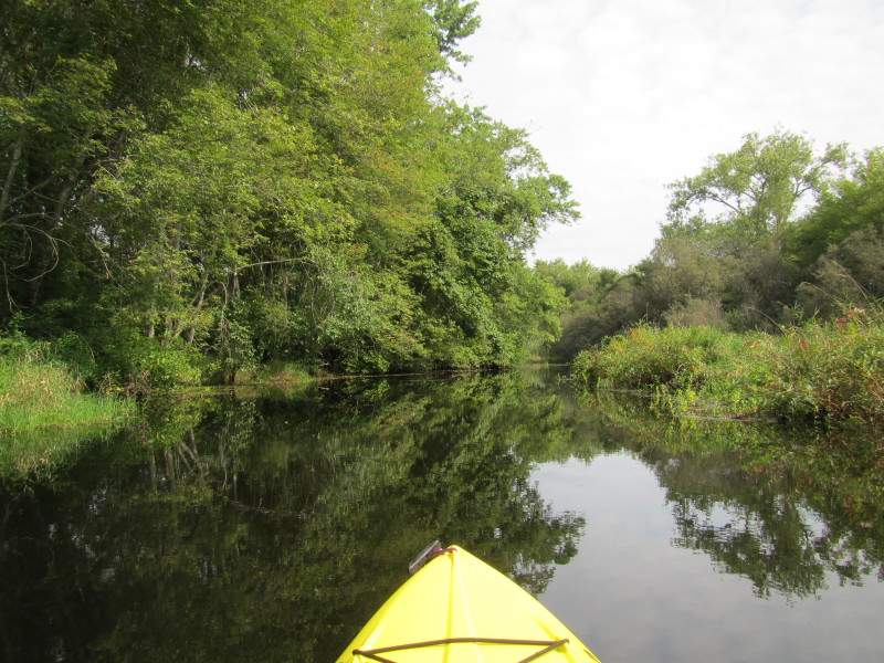
 Route 28 is coming up.
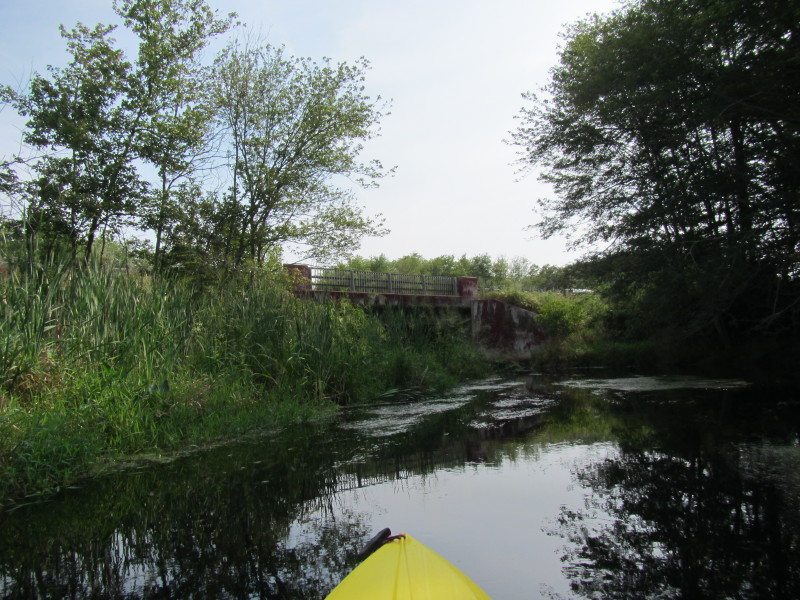
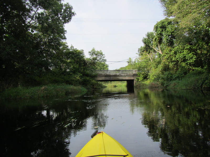 Route 28 bridge.

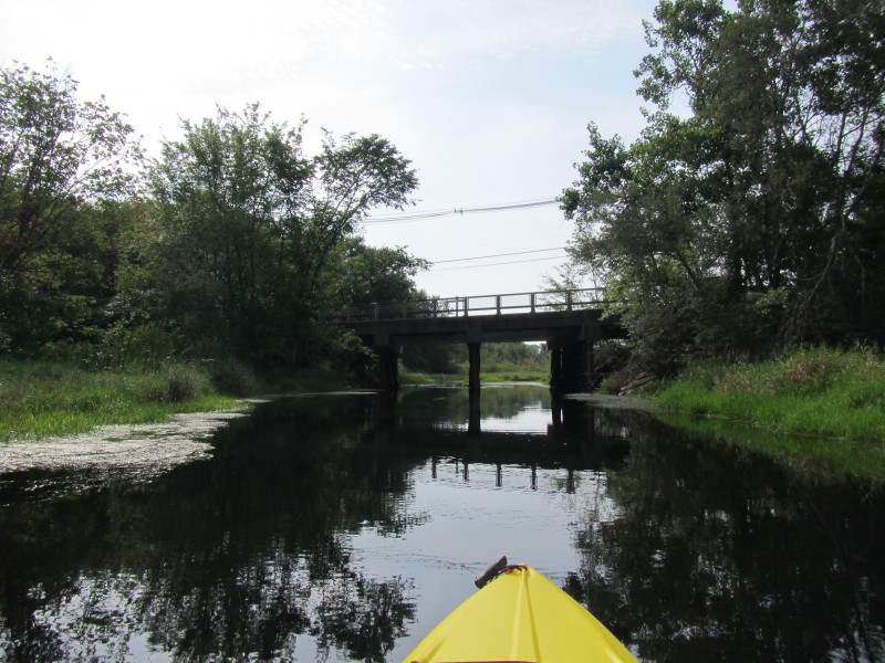
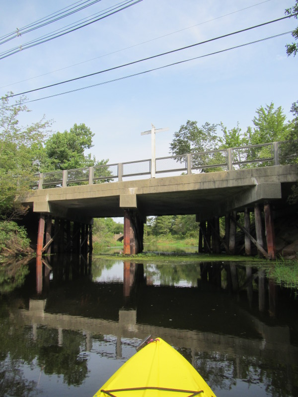
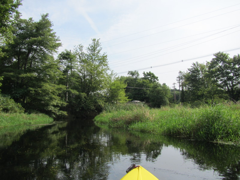
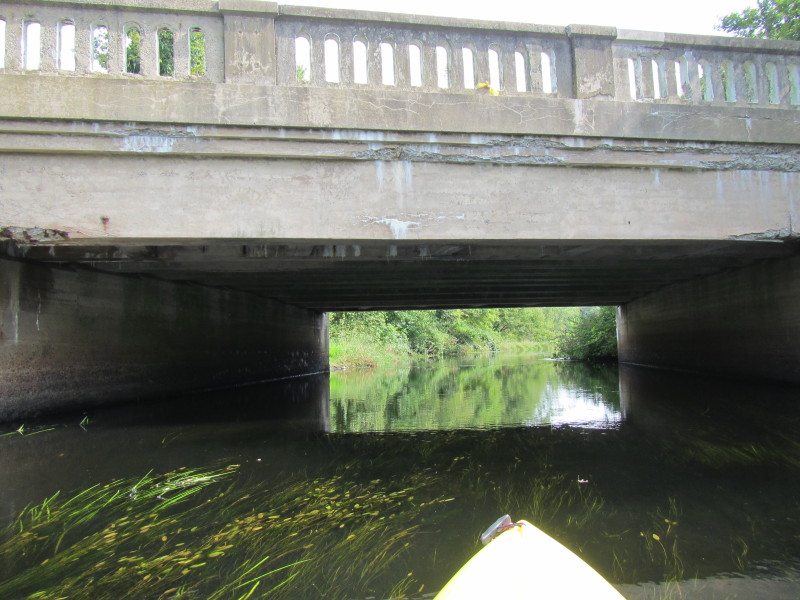
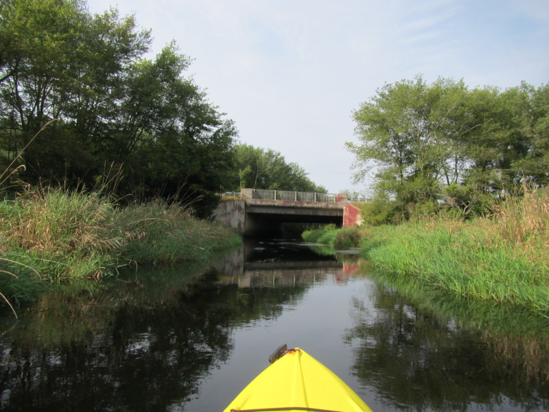 I-495 bridge in Middleboro MA.
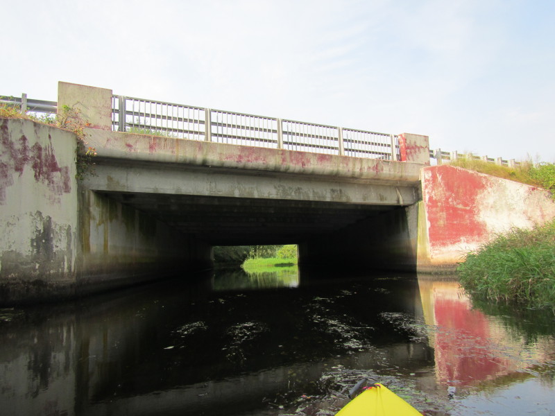
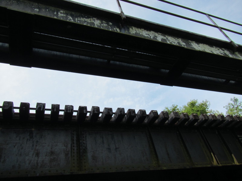
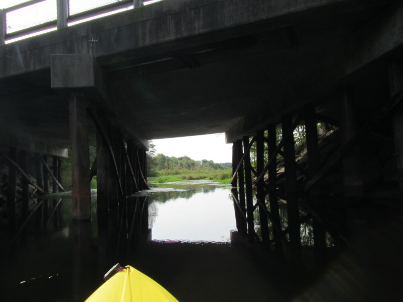
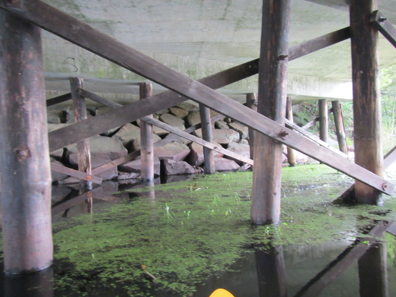
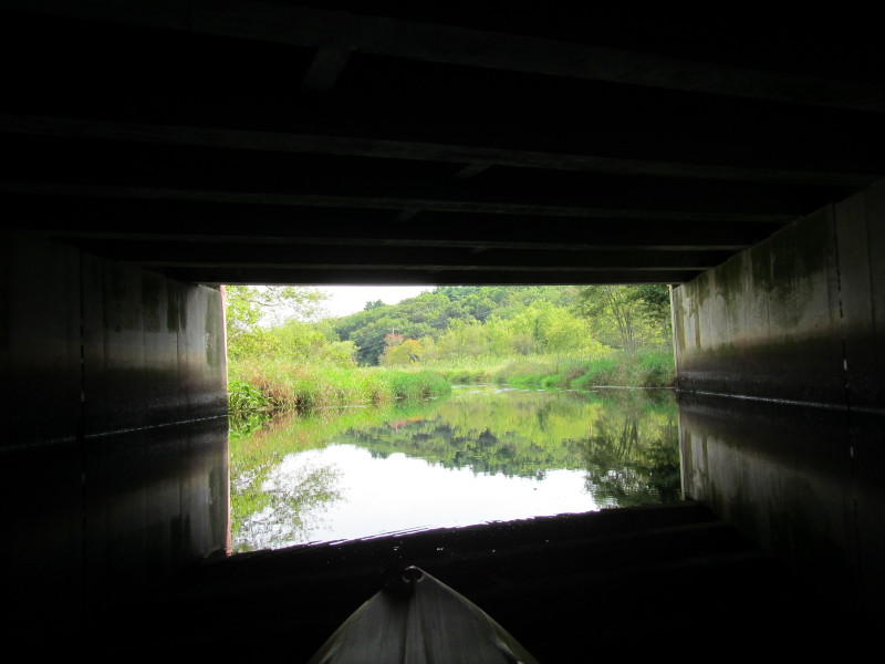
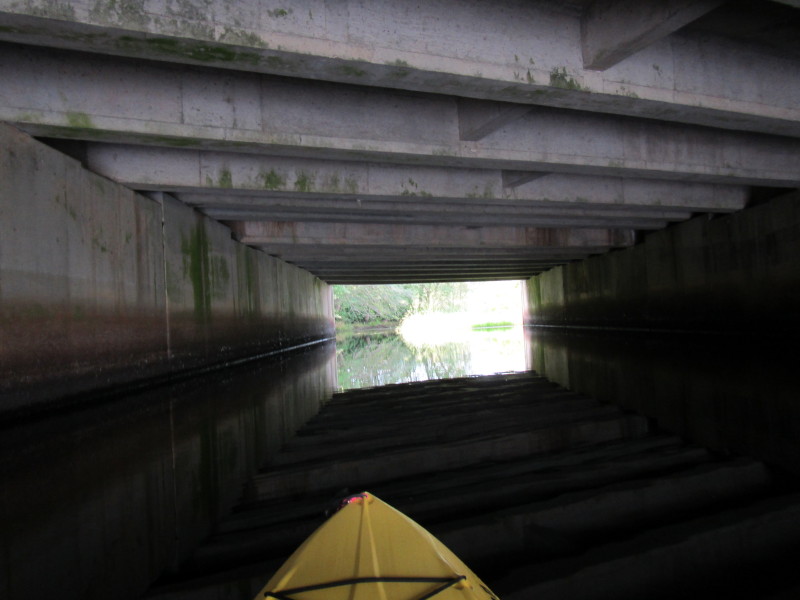 Under the I-495 bridge tunnel.
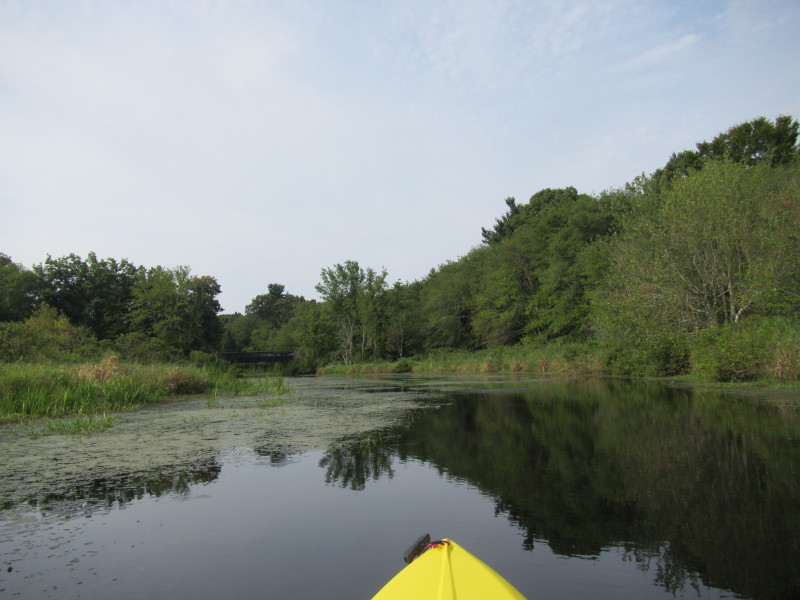
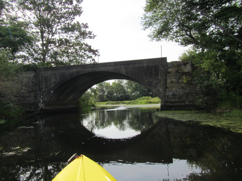
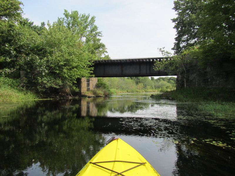
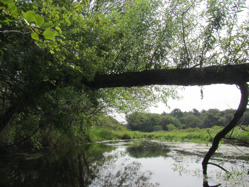
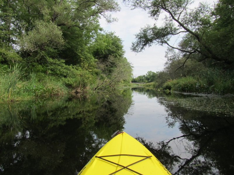
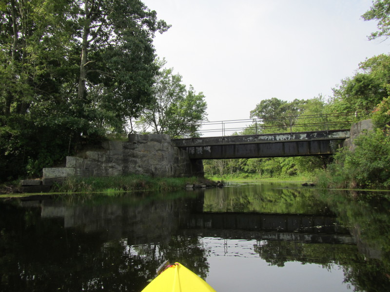 Rail bridge.
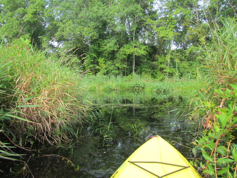
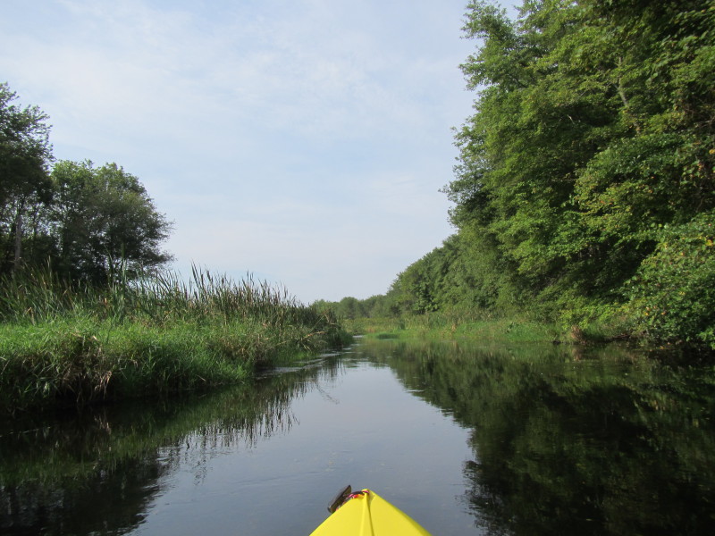
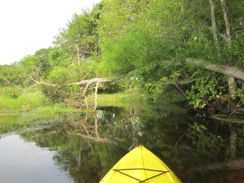
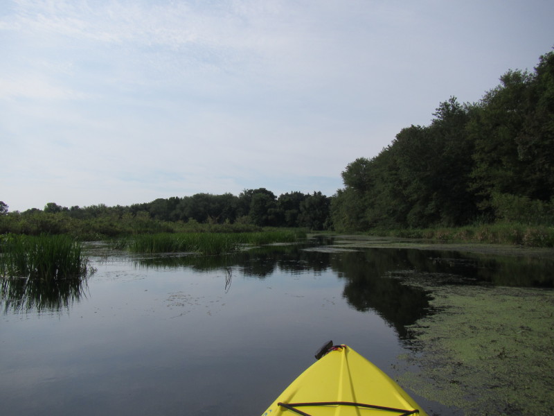
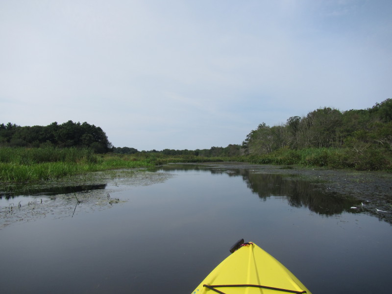
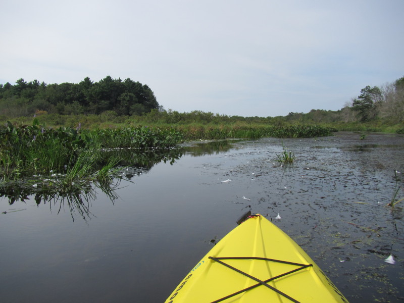
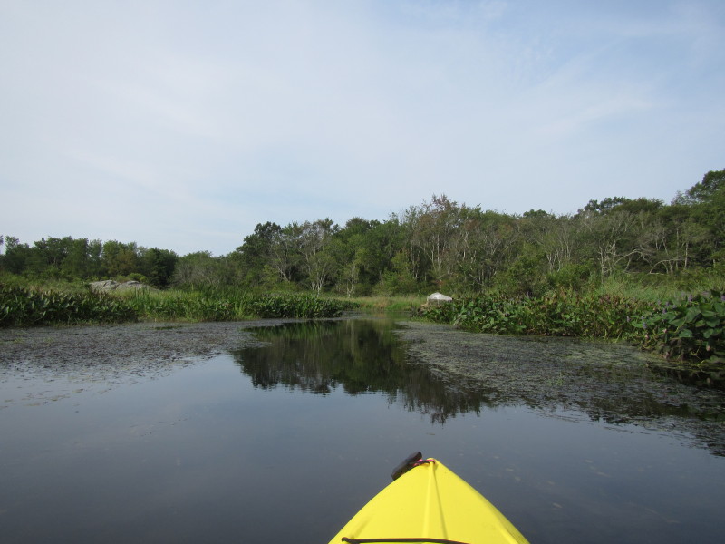
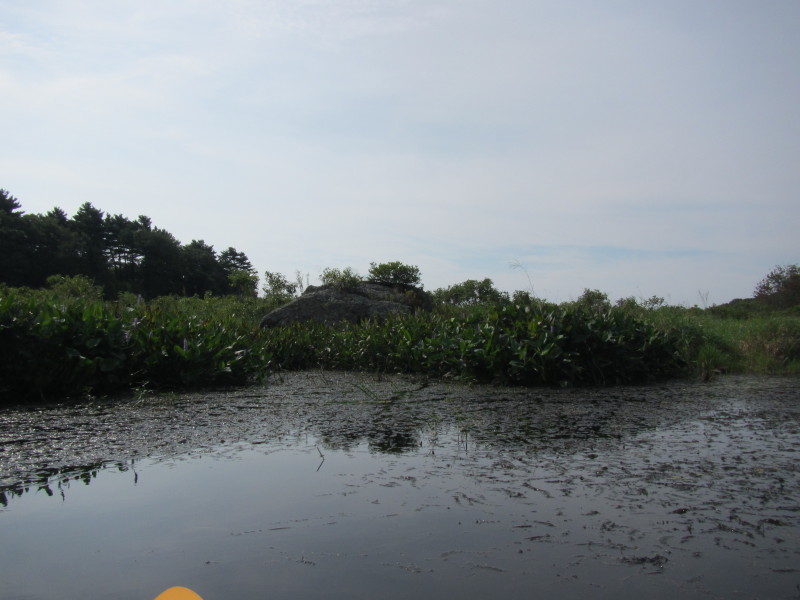
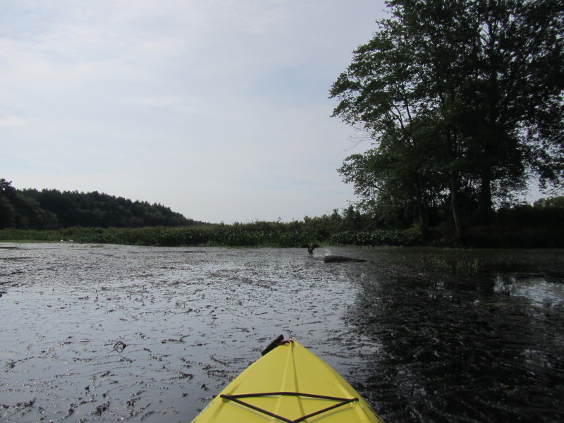
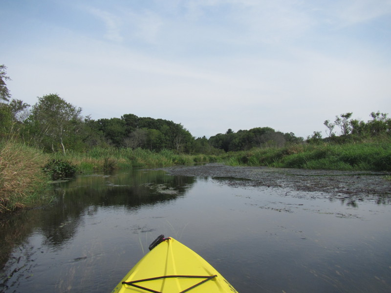
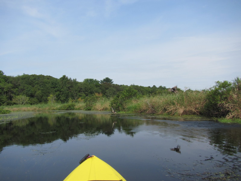
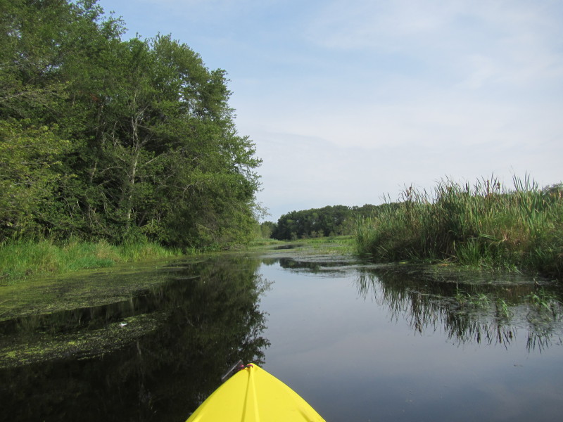
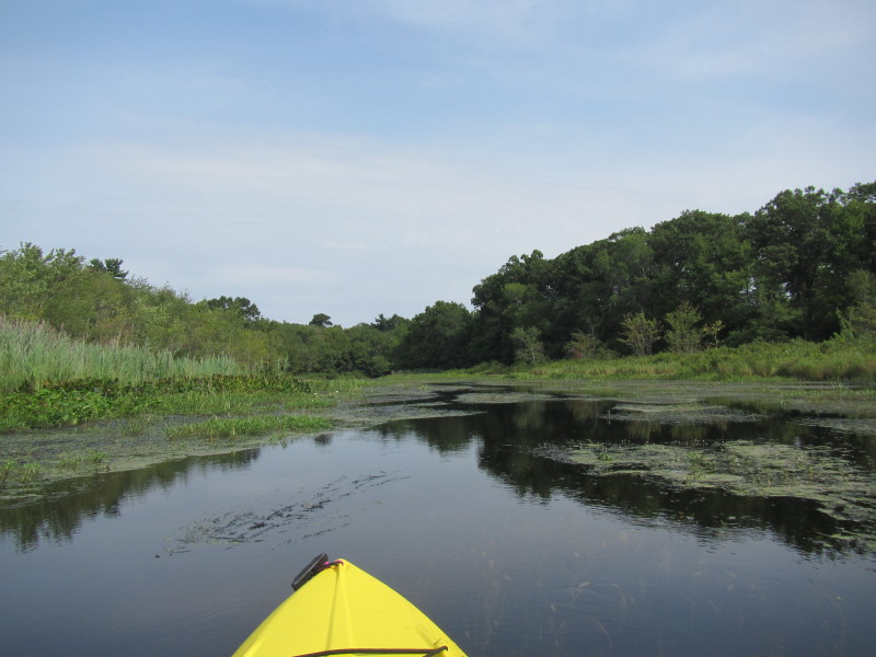
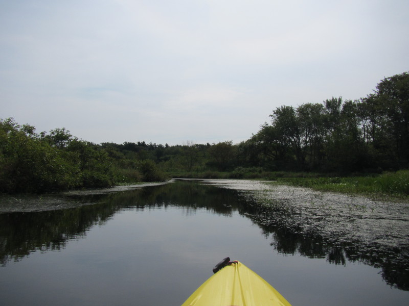
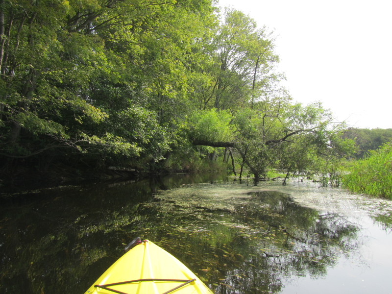
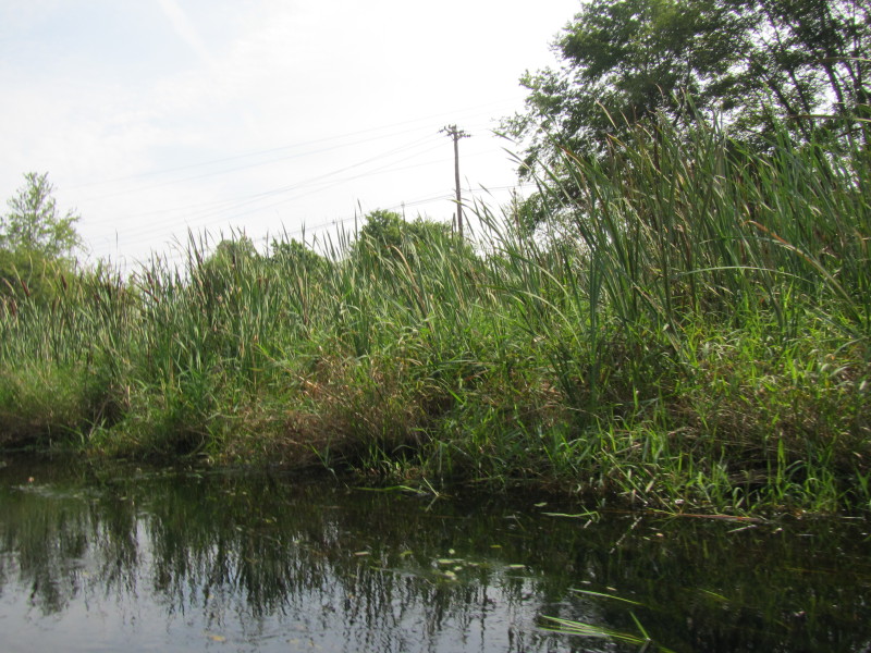
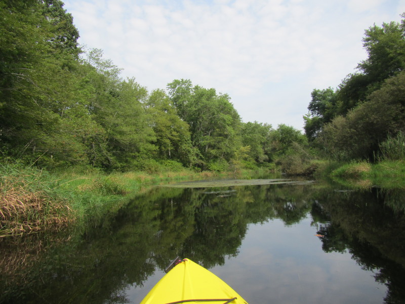
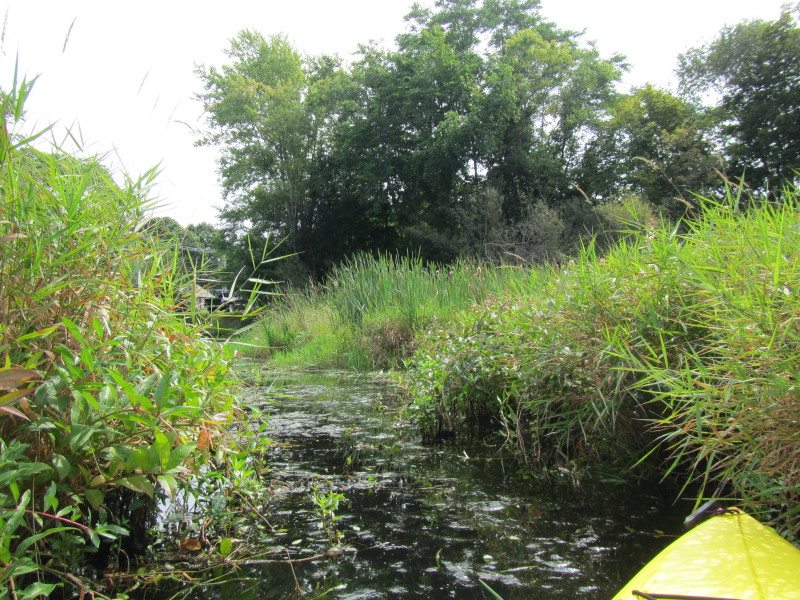
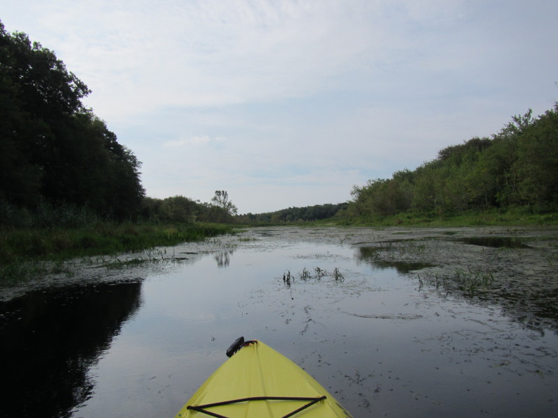 The aquatic weeds are getting worse further up on this river.
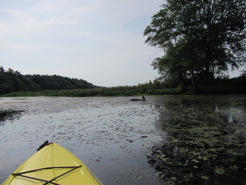
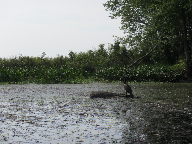
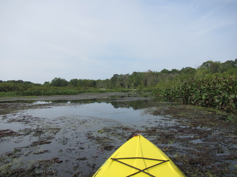 I just got stuck on top of the weeds. I am on a mud-like surface! :(
 Same photo as aboved cropped.
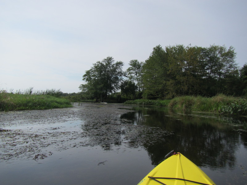
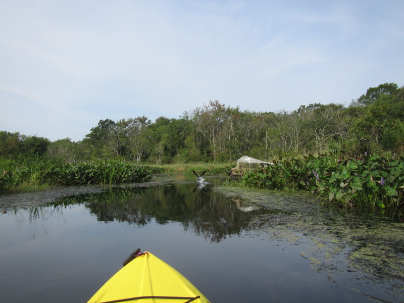
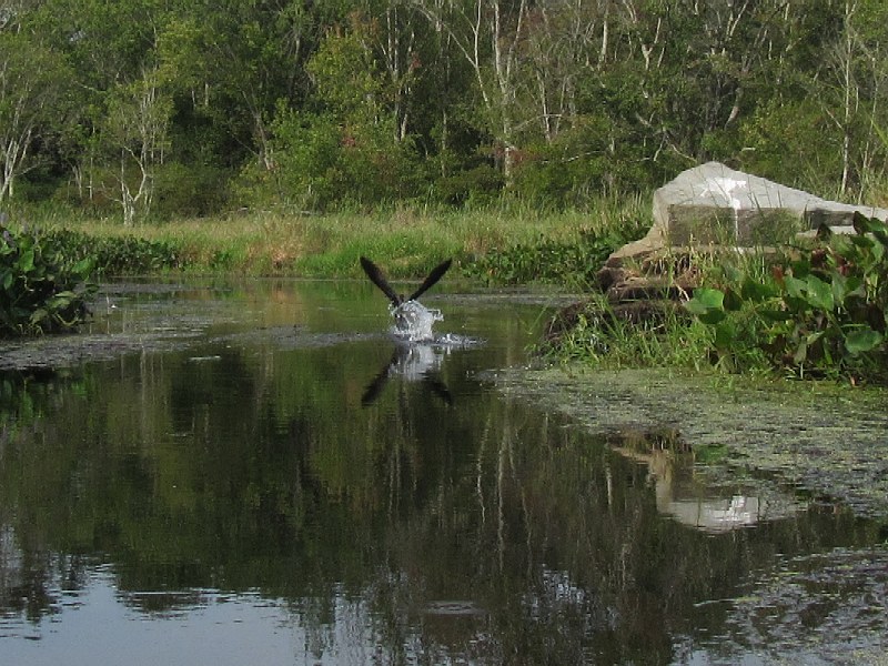
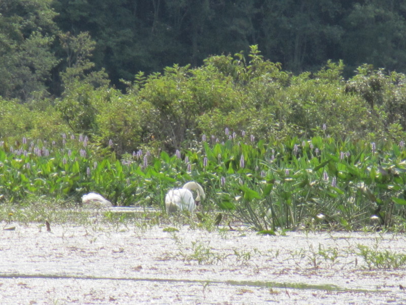
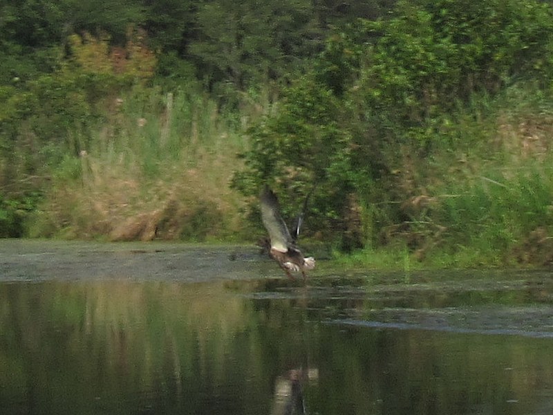
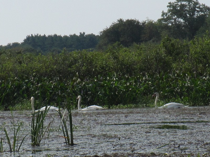 Swans on Nemasket River.
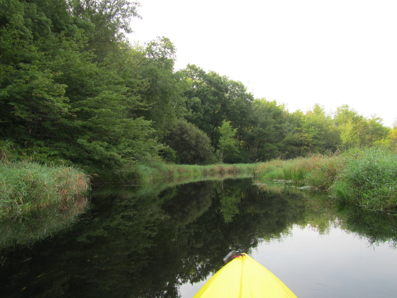
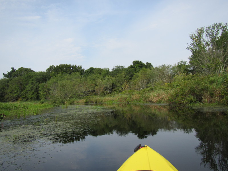
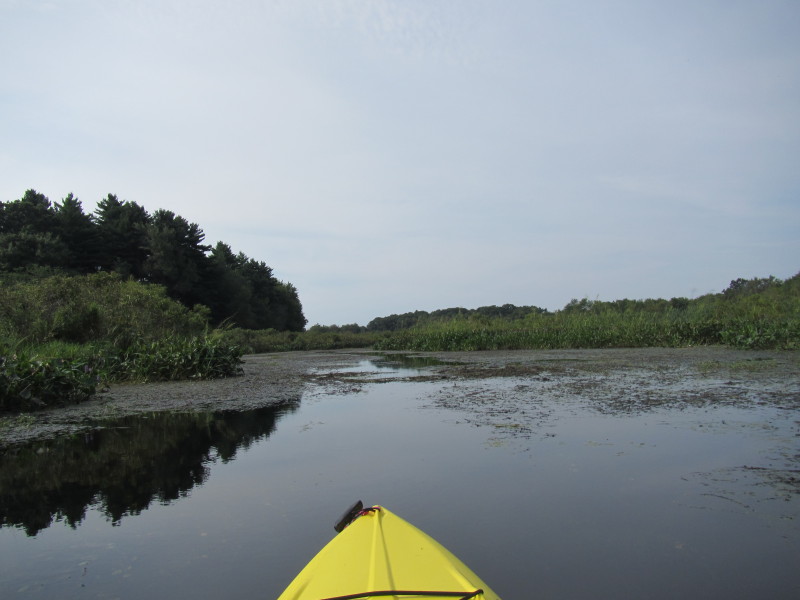
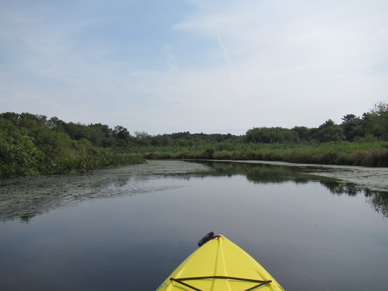
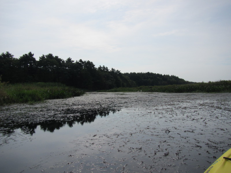 With all these aquatic weeds choking most of the Nemasket River,
I decided to turn around without reaching Vaughan Street bridge.
With all these aquatic weeds choking most of the Nemasket River,
I decided to turn around without reaching Vaughan Street bridge.
 I am not paddling downriver northwards to where I started.
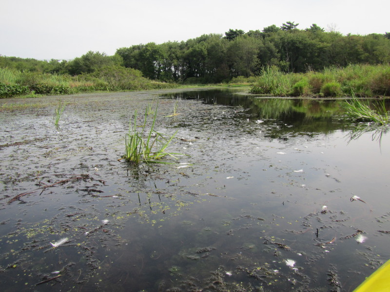 This area is littered with swans' feathers. Must be their favorite spot.
The middle of the bridge and river is the town boundary. 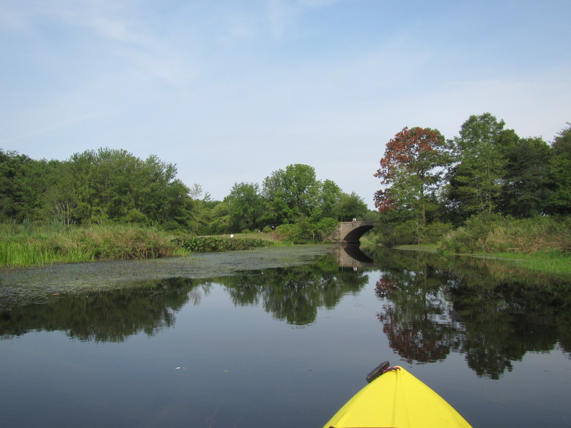
 A guy fishing on the bridge. A kayaker on my left about to launch.
 Same photo as aboved cropped.
 I was on the river for 2 hours and 15+ minutes.
|