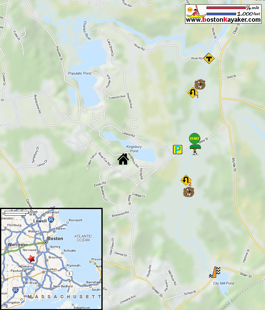
 Kayaker

|


|
Download printer-friendly
PDF version that fits in one page: |

|
|
Other resources:
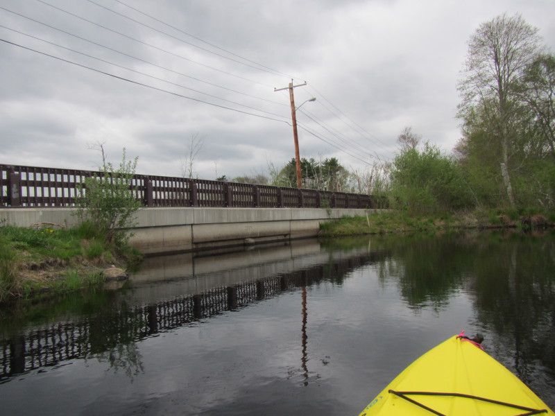
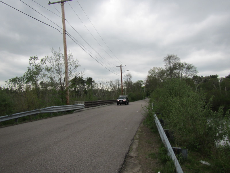
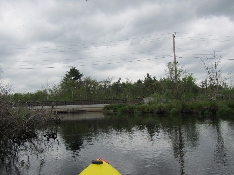
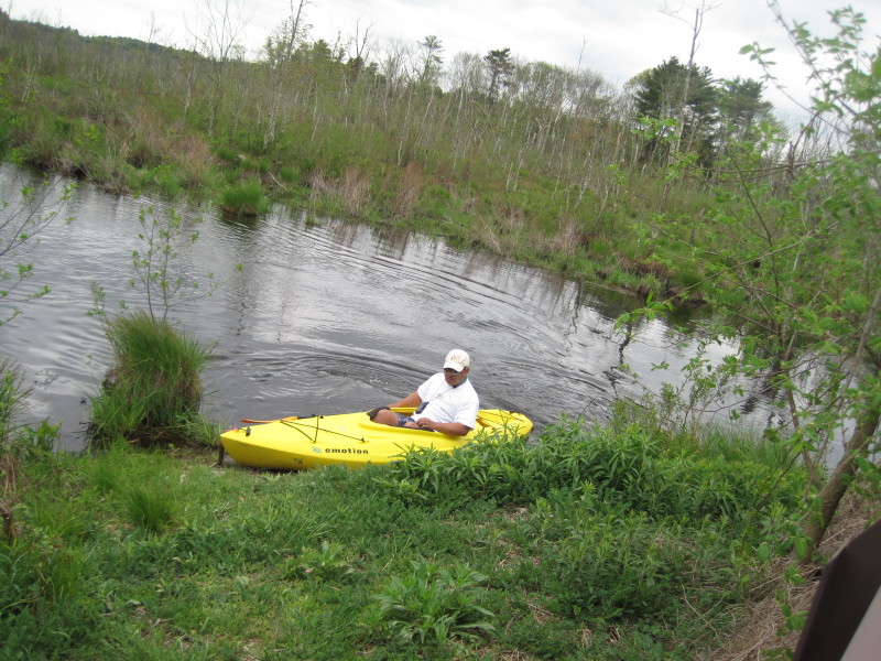
All photos in this website are original and copyrighted. 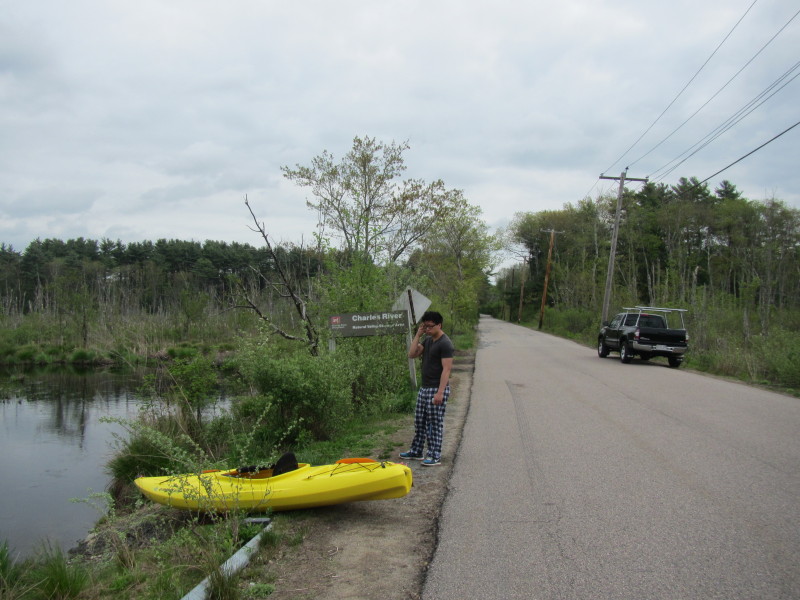 At the Miller Street bridge over Mill River. The Boston Kayaker's son will give me a push
and help with portage later.
At the Miller Street bridge over Mill River. The Boston Kayaker's son will give me a push
and help with portage later.
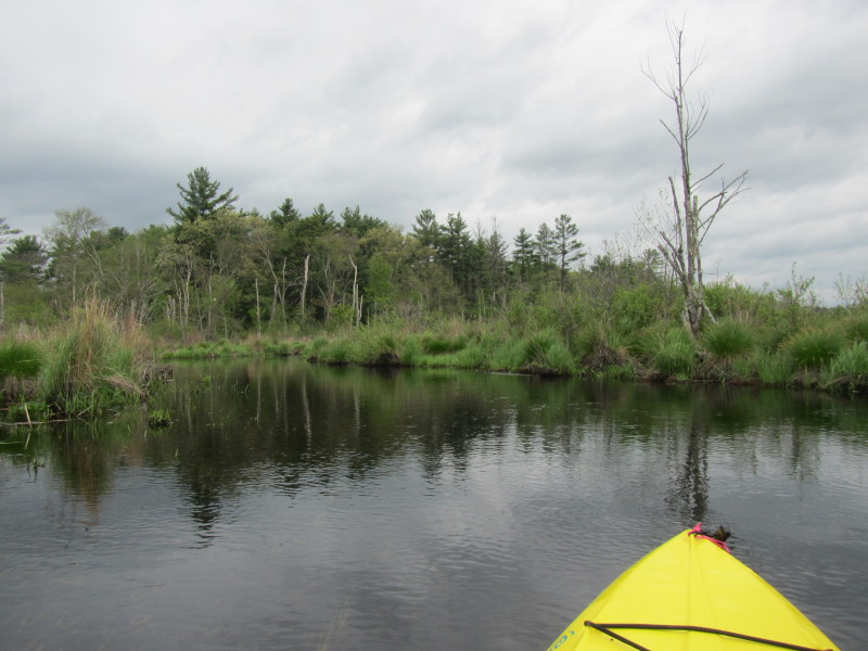
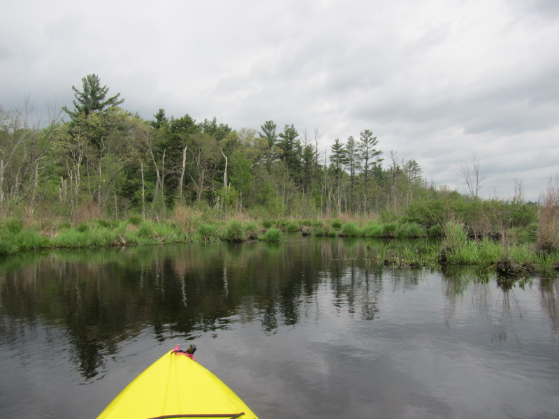
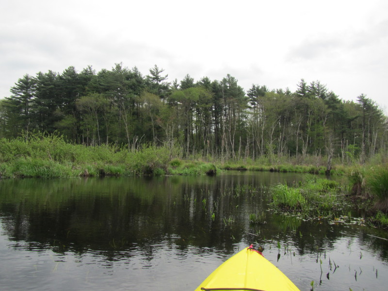
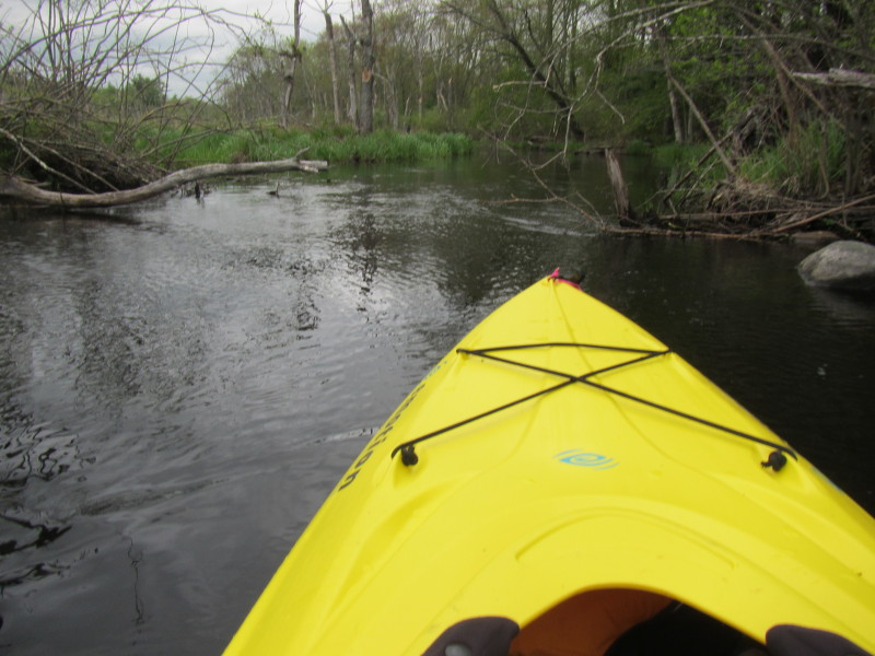
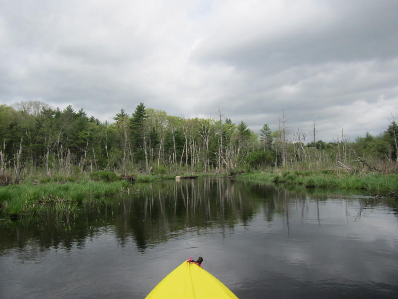
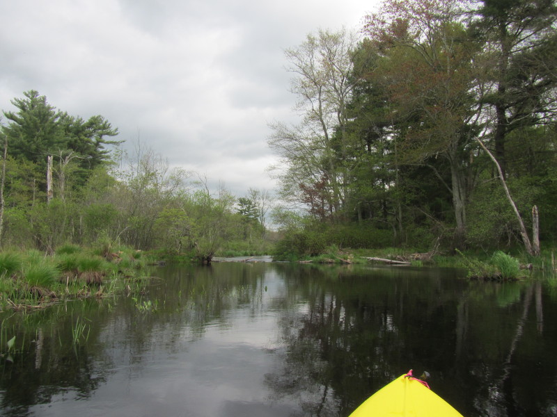
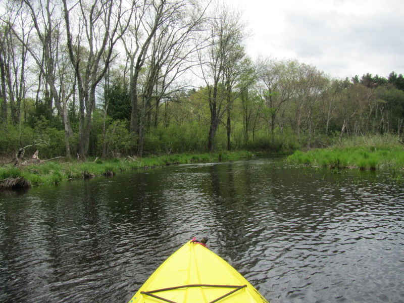
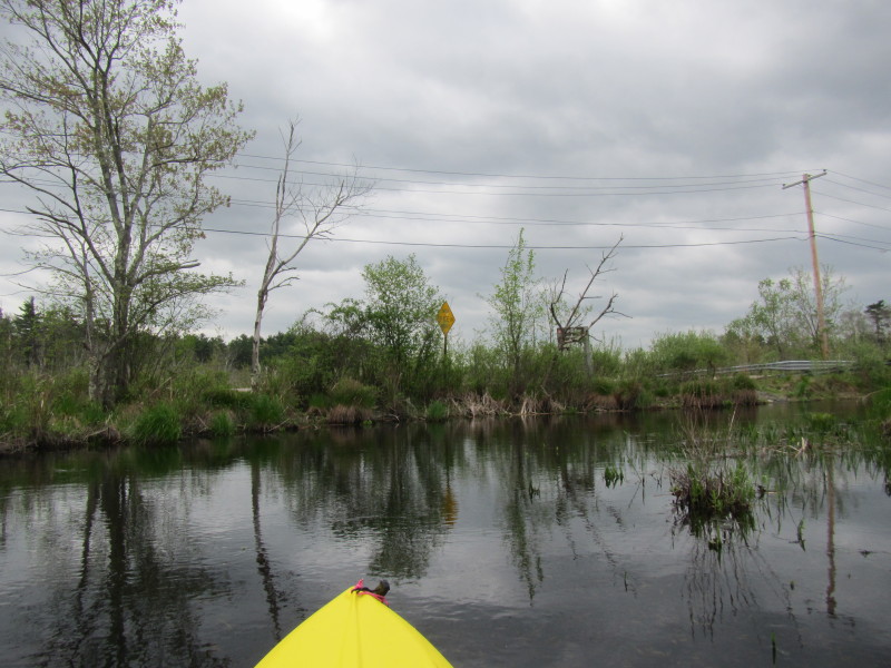
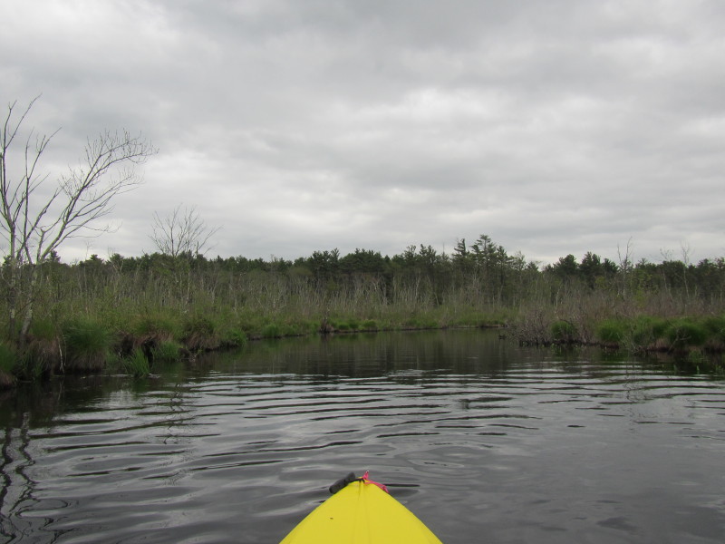
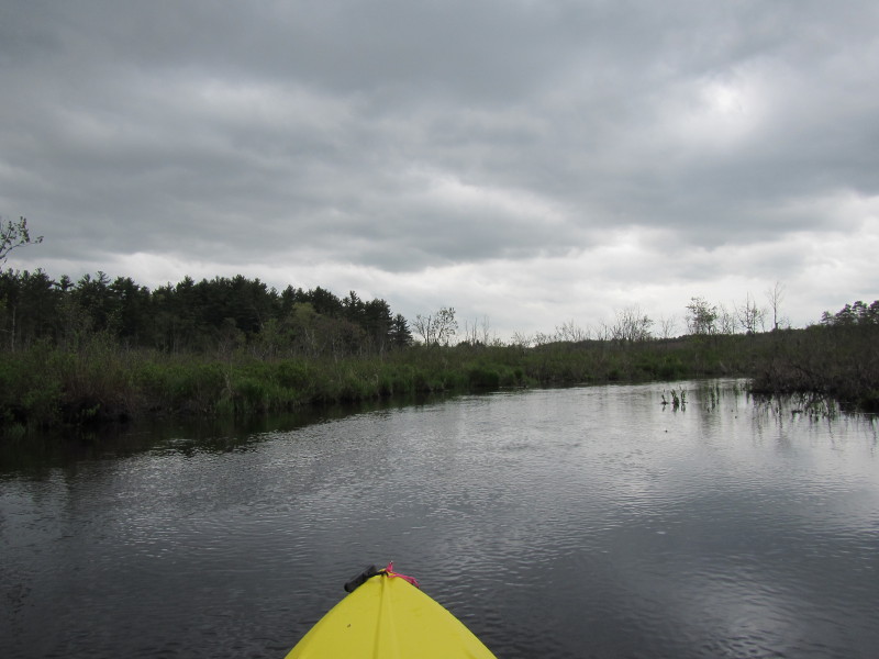
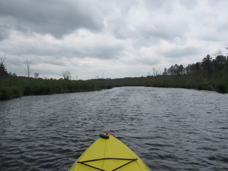
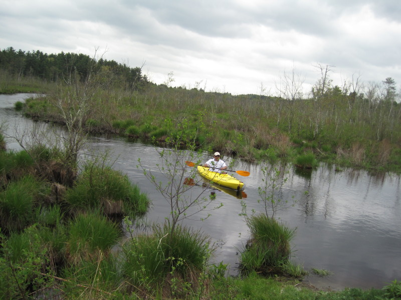
Trip date is May 2013. 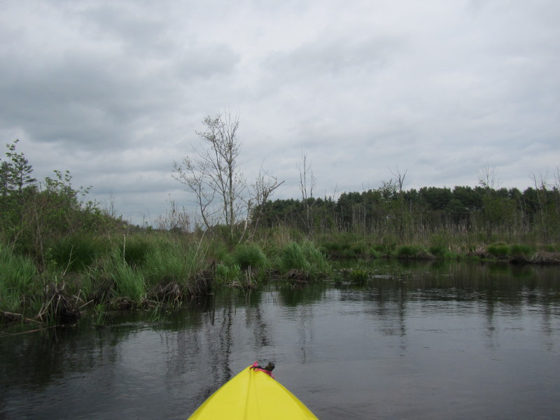 Just launched on the north side of Mill River on the north side of Miller Street.
It was a cloudy and rainy day with forecast of more rain.
Just launched on the north side of Mill River on the north side of Miller Street.
It was a cloudy and rainy day with forecast of more rain.
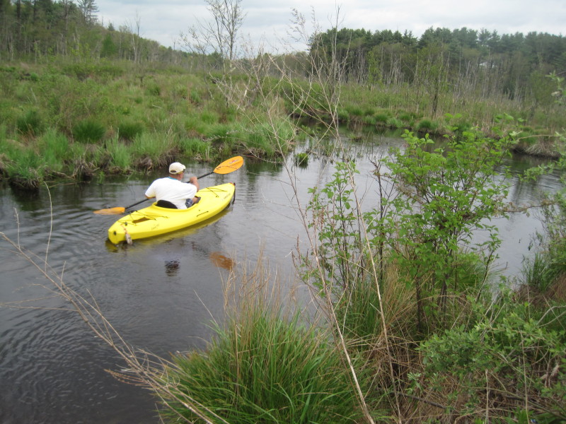
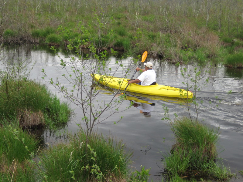
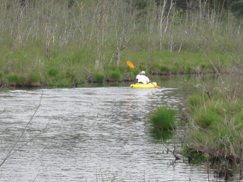
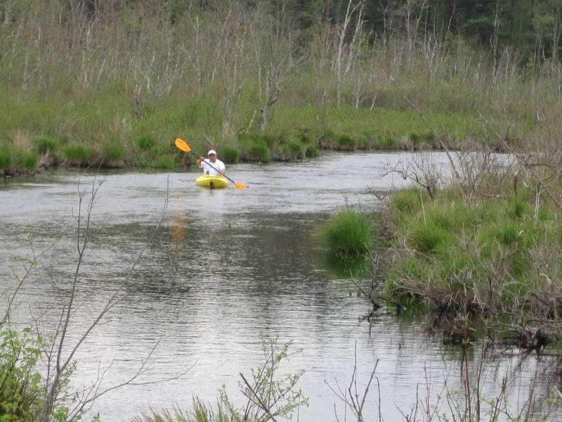
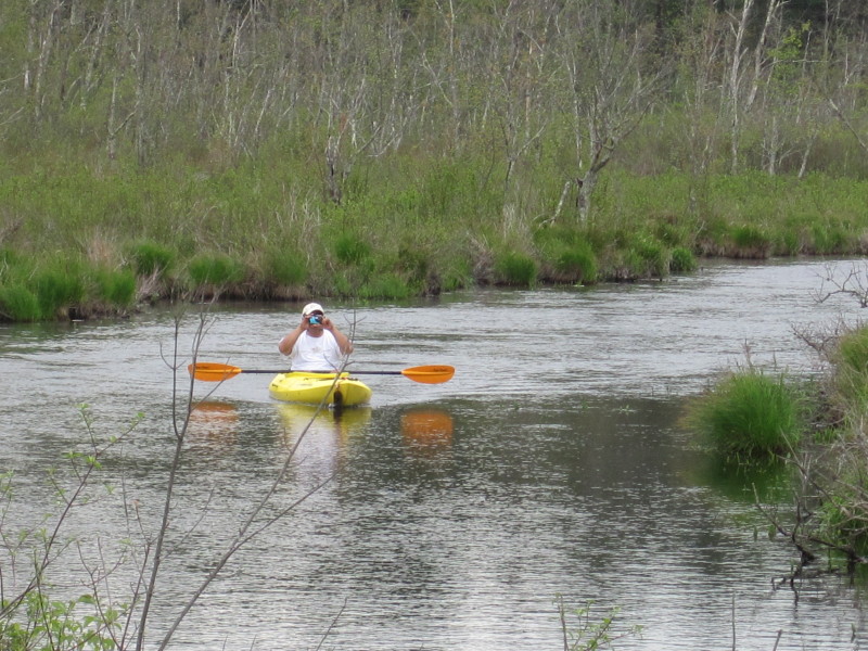
 My son took some photos of me from the bridge.
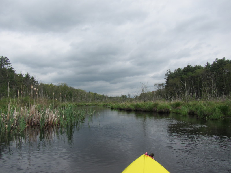
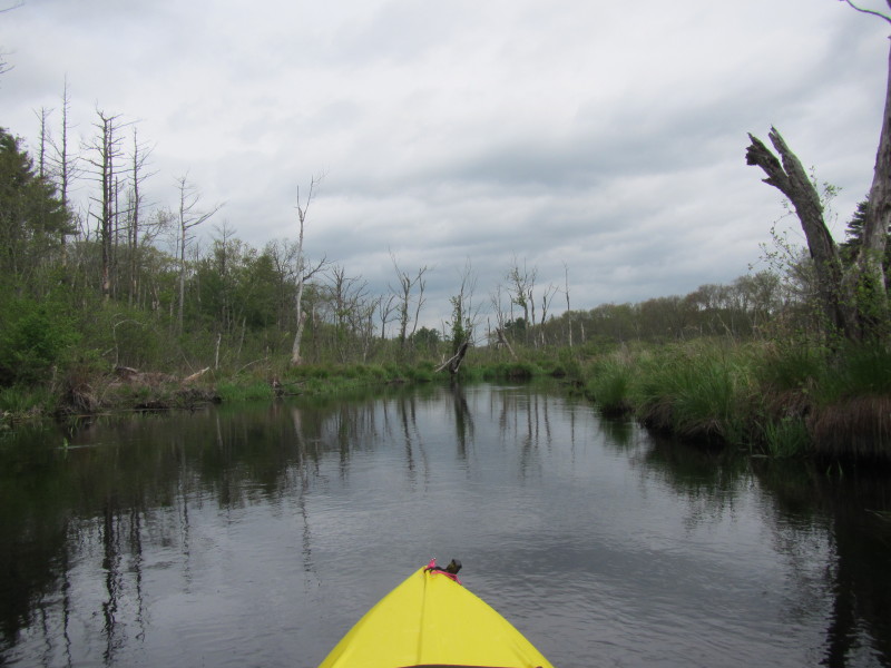
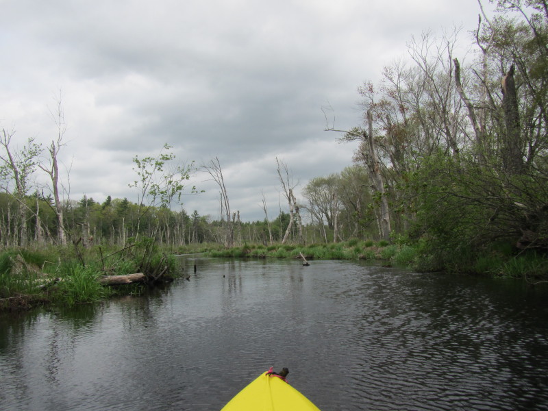
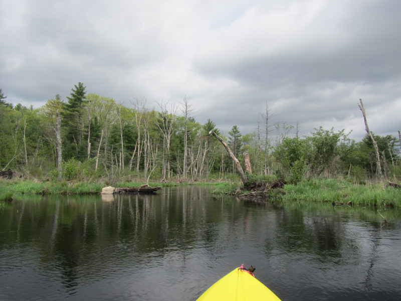
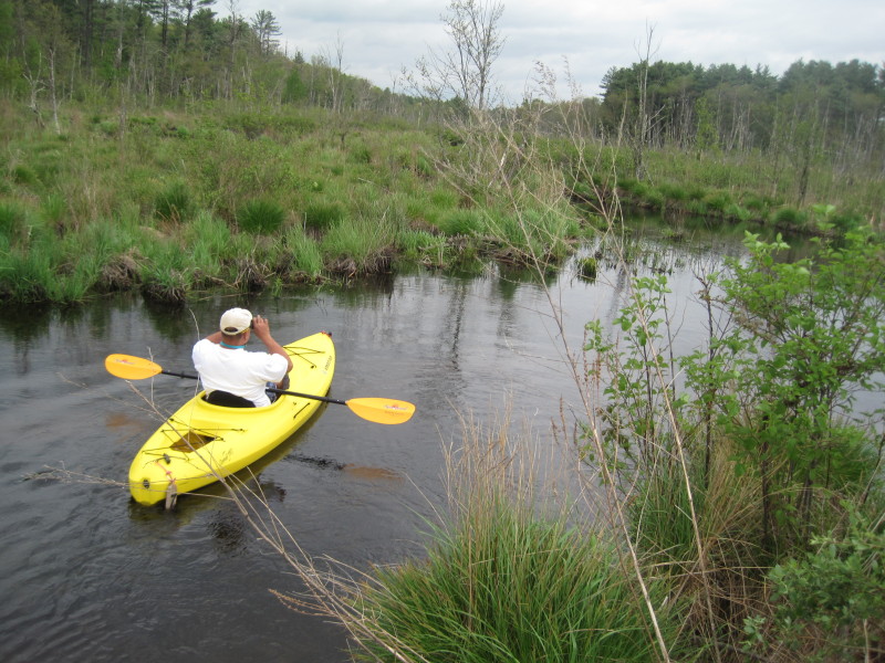
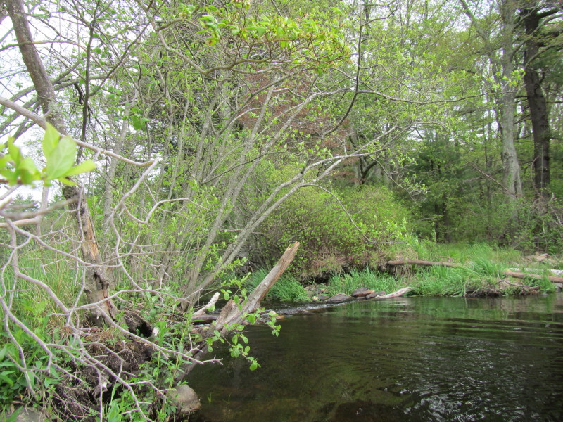
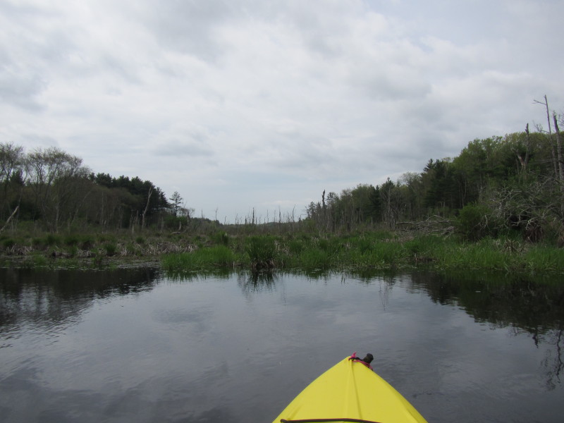
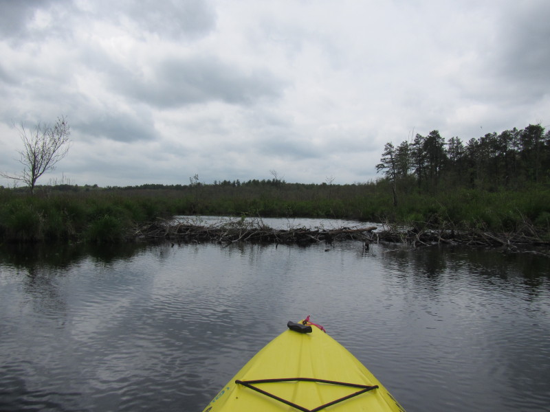
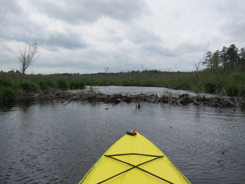
 I see a beaver dam about 14 minutes into my paddle.
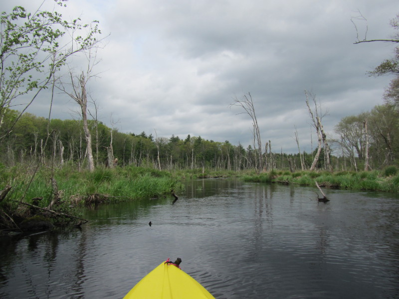
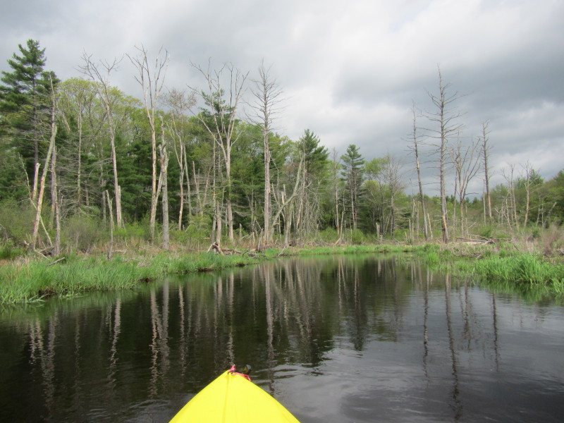
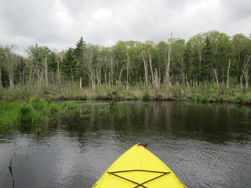
 I pulled to the left of the beaver dam and deliberated.
I decided I will turn around at this point as I do not
want to go past this dam and not be able to paddle back.
I pulled to the left of the beaver dam and deliberated.
I decided I will turn around at this point as I do not
want to go past this dam and not be able to paddle back.
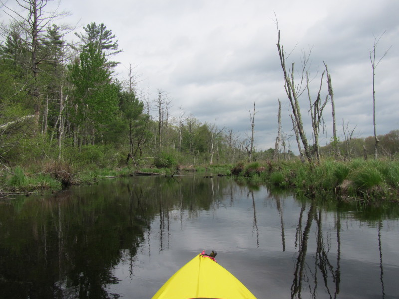
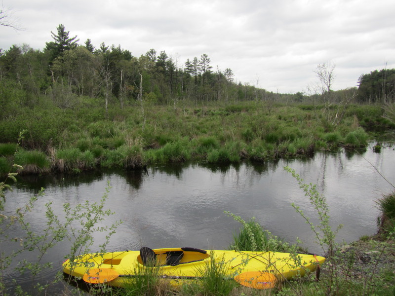
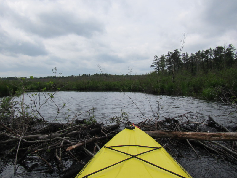
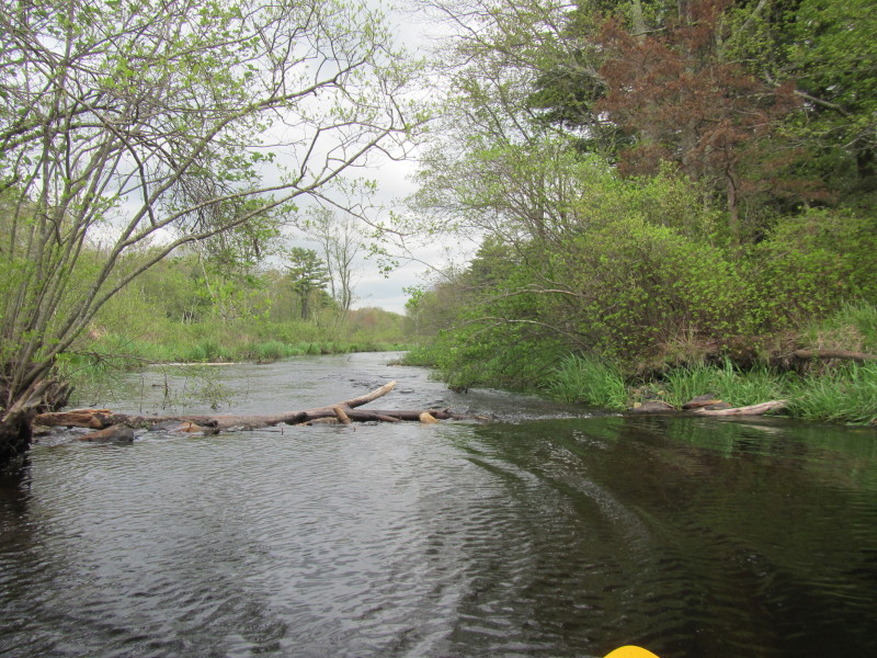 I pulled back a bit, took this picture of the beaver dam and turned around.
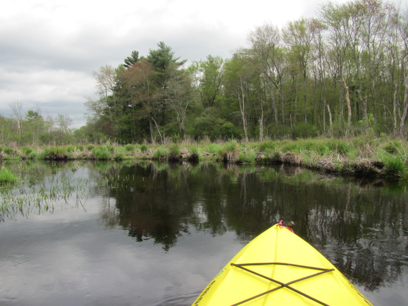
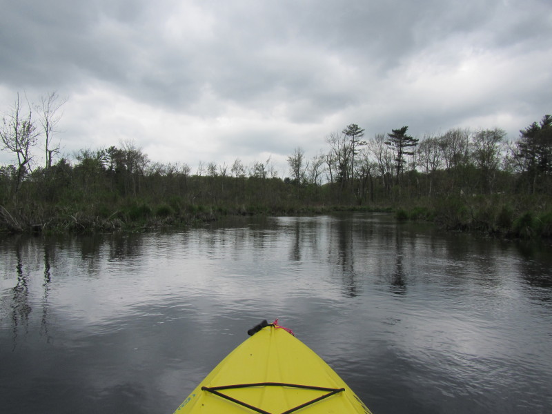
 I am now paddling back to the bridge put in.
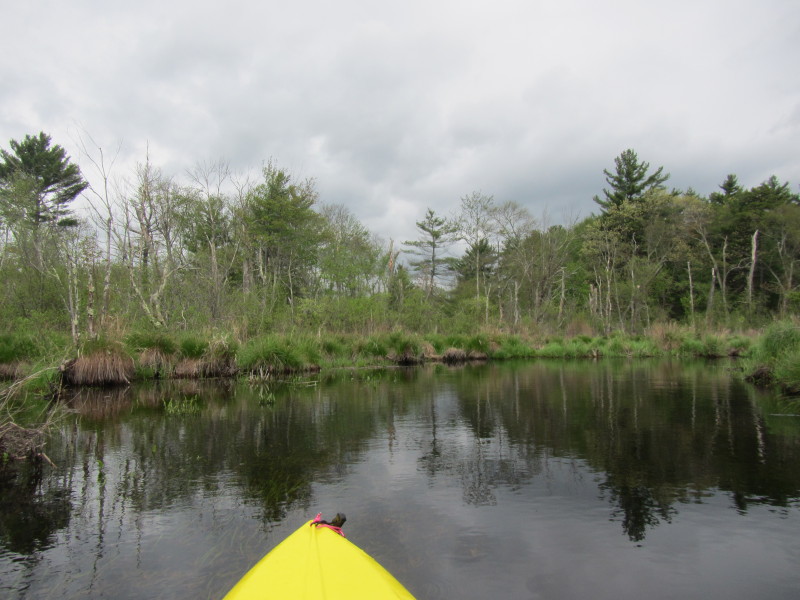
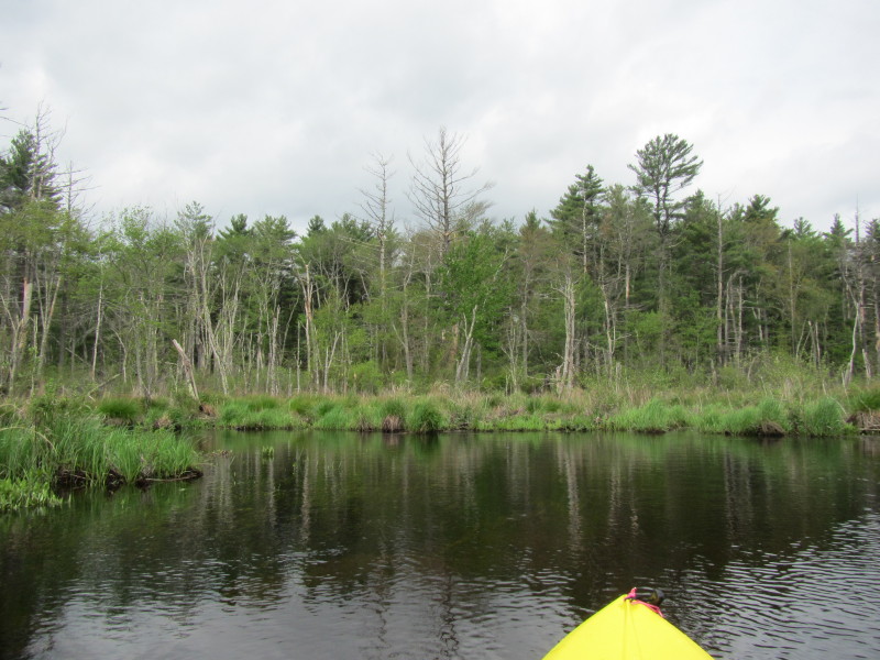
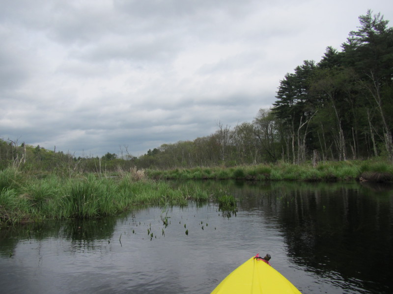
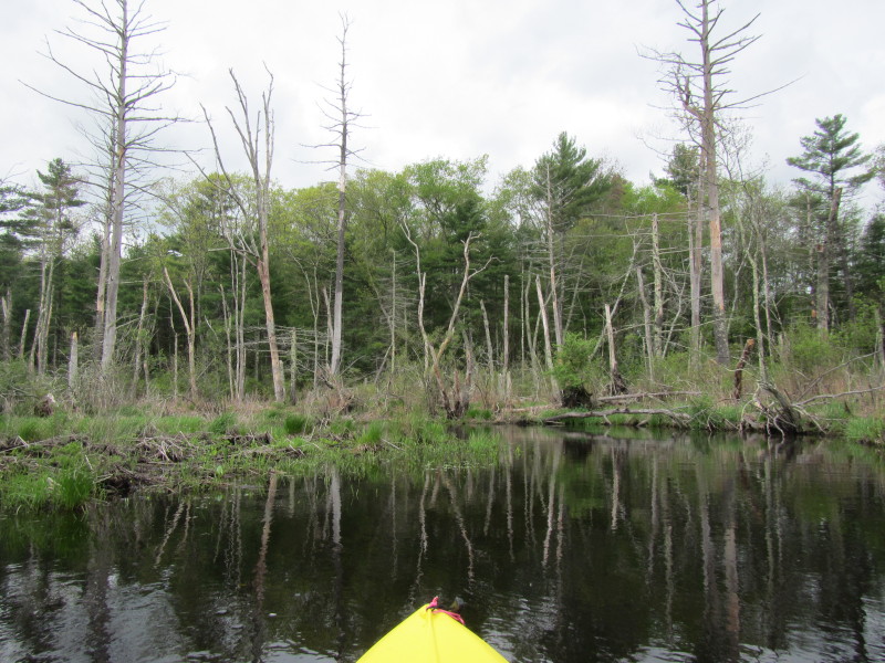
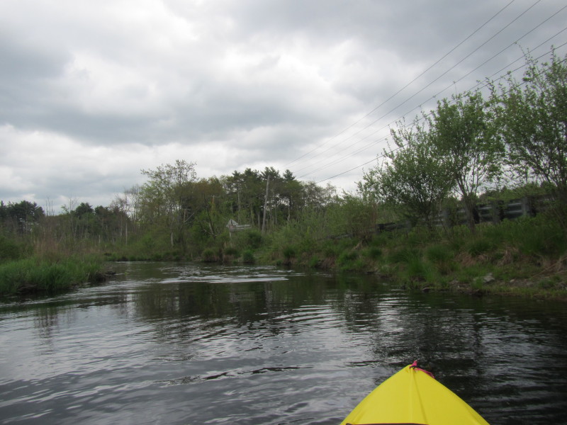
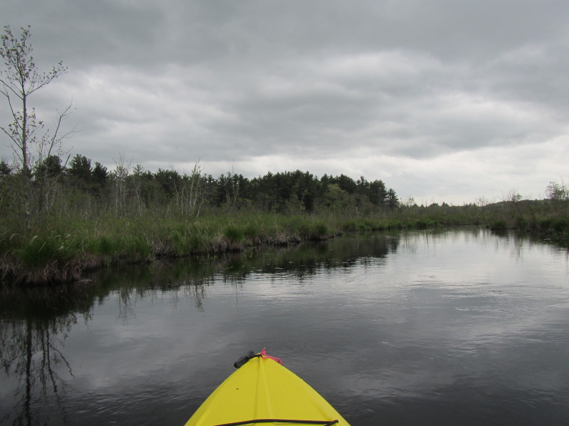
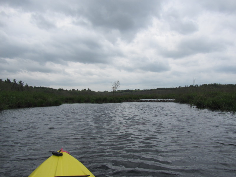
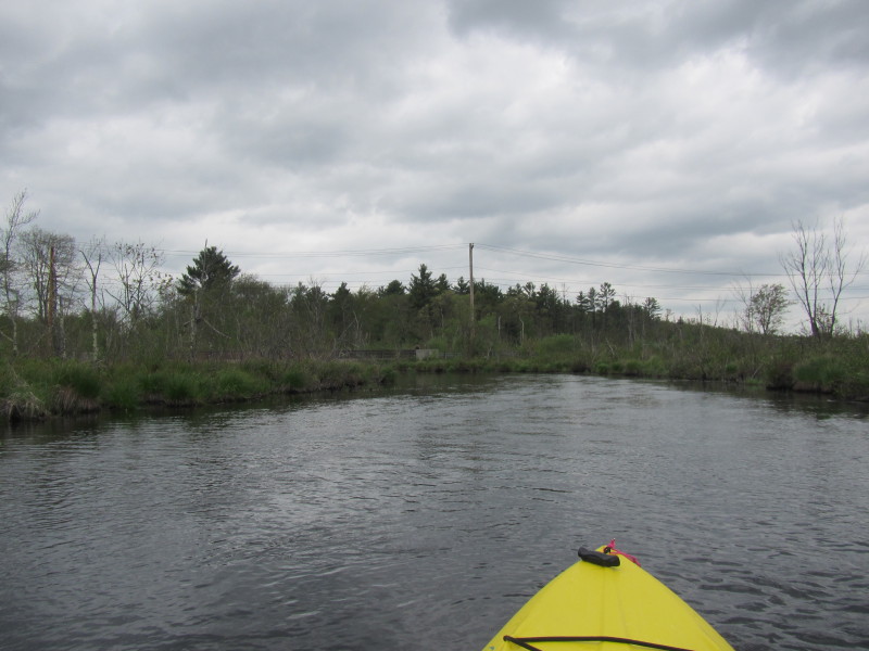
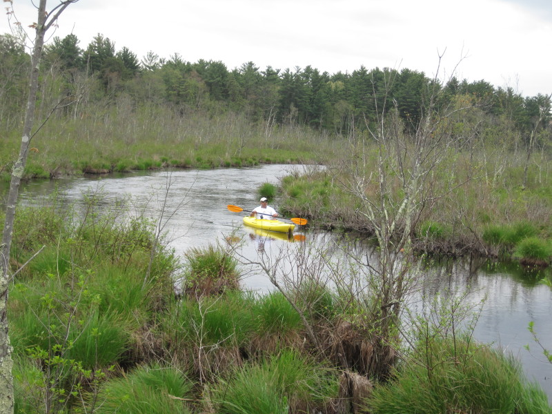
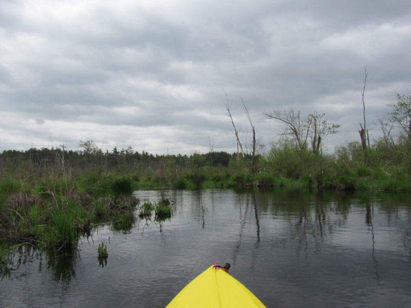 I can now see the power poles on Miller Street.
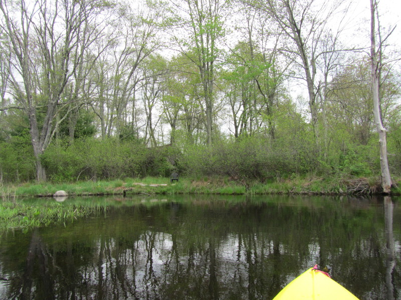
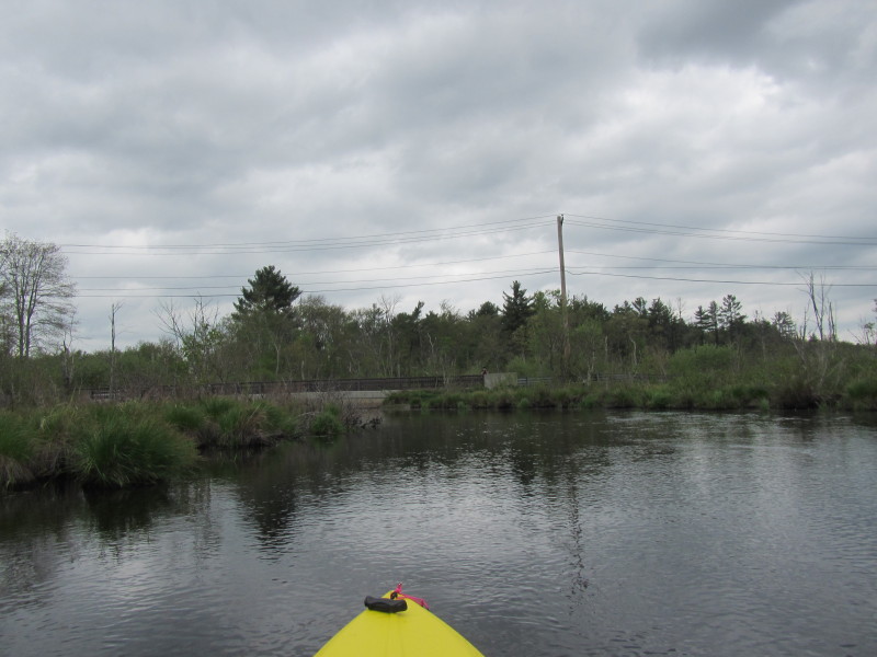
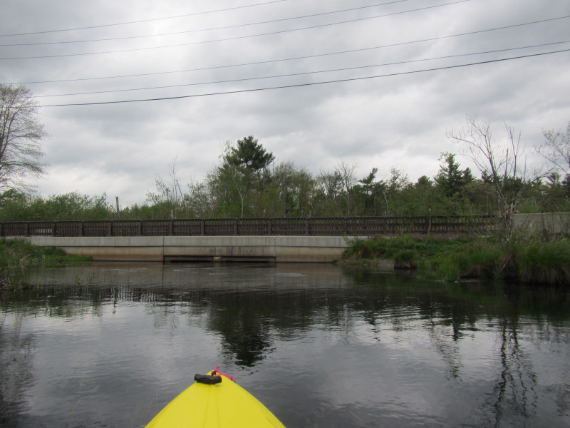
 I approached the bridge. Can not paddle under the bridge as it is blocked.
 Turned around to the put in just to the east of the bridge.
 The round trip on the north side to the beaver dam is about 40+ minutes.
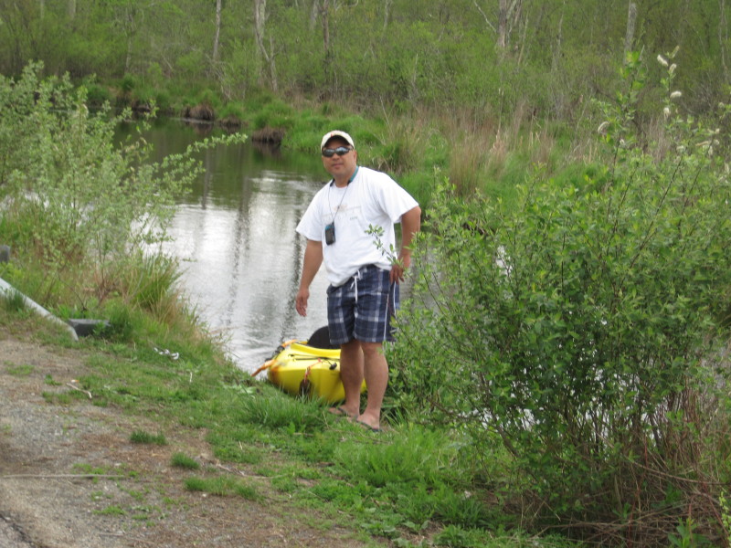
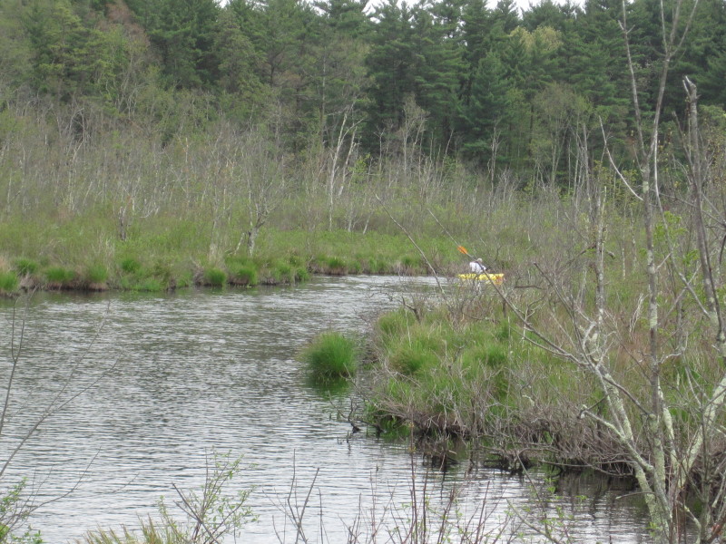
 Here's my son now after I called him at the house to help me portage to the other side.
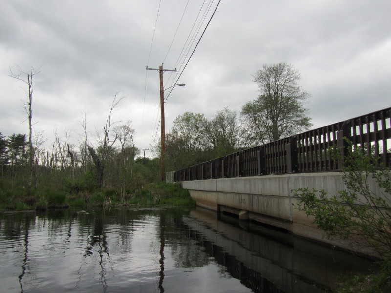 Now on the south side of the Miller Street bridge.
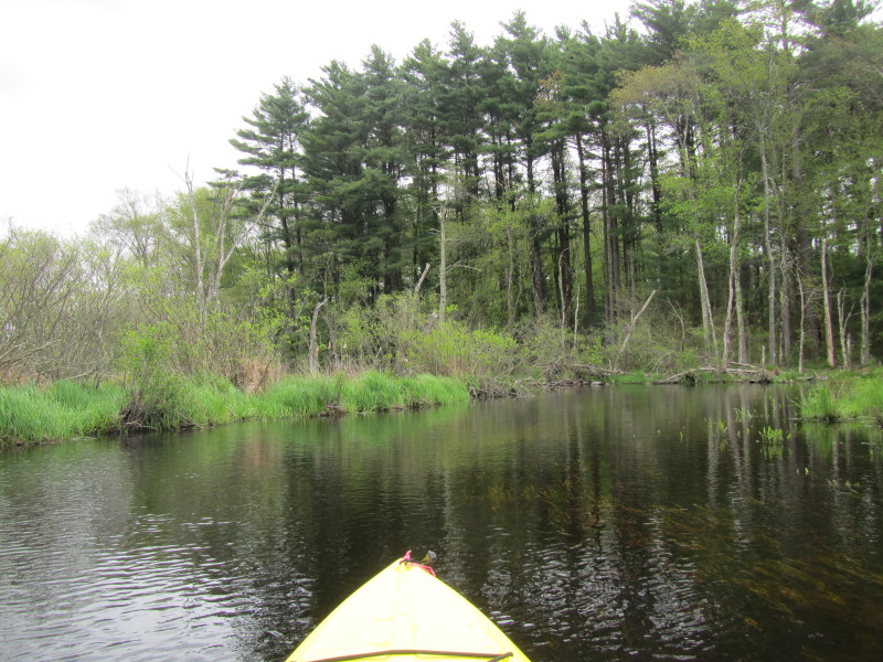
 This river is really flowing and not just a trickle as the map would suggest.
 Looks like my trip will be cut short again by a beaver dam . . .
 IMG_5482.JPG
 Just seven minutes into my paddle, I hit this beaver dam.
 Backed out a little and I can see the water above this beaver dam (other side)
is about six inches higher.
Backed out a little and I can see the water above this beaver dam (other side)
is about six inches higher.
 I turned around, and heading back to the bridge.
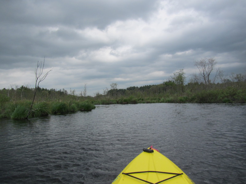
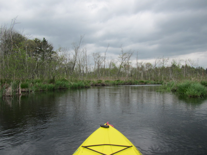
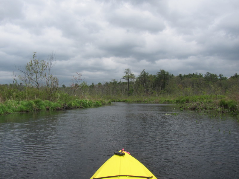
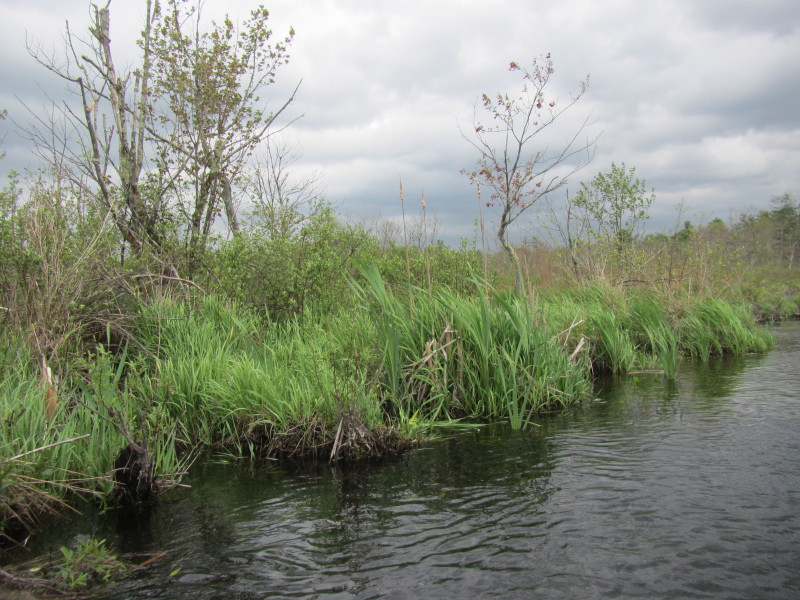
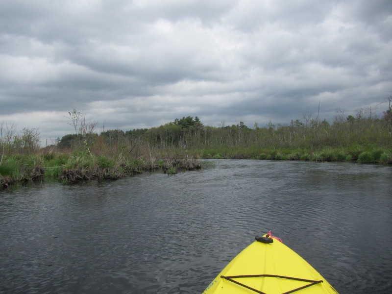
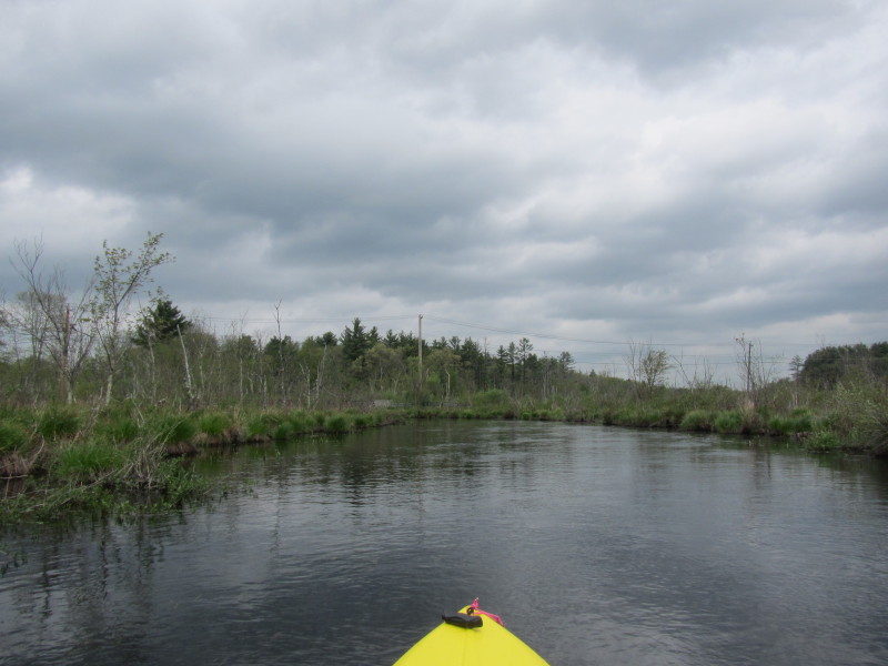
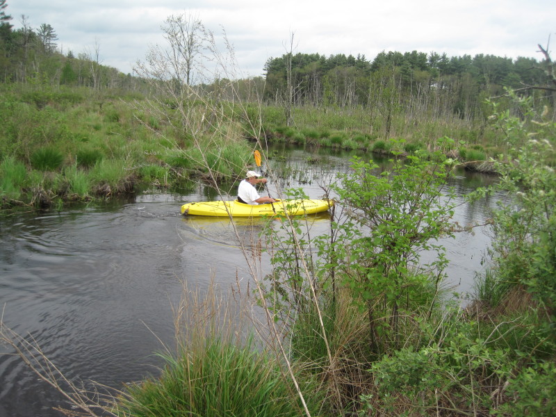
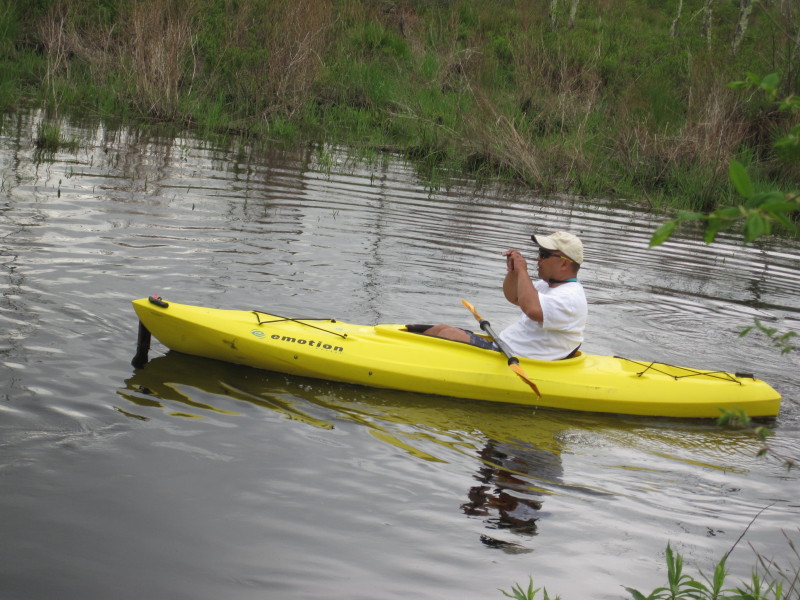
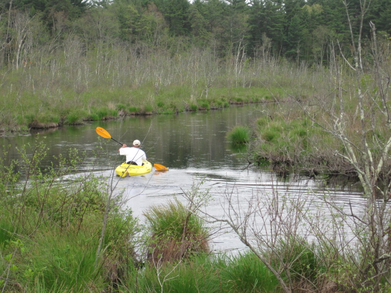
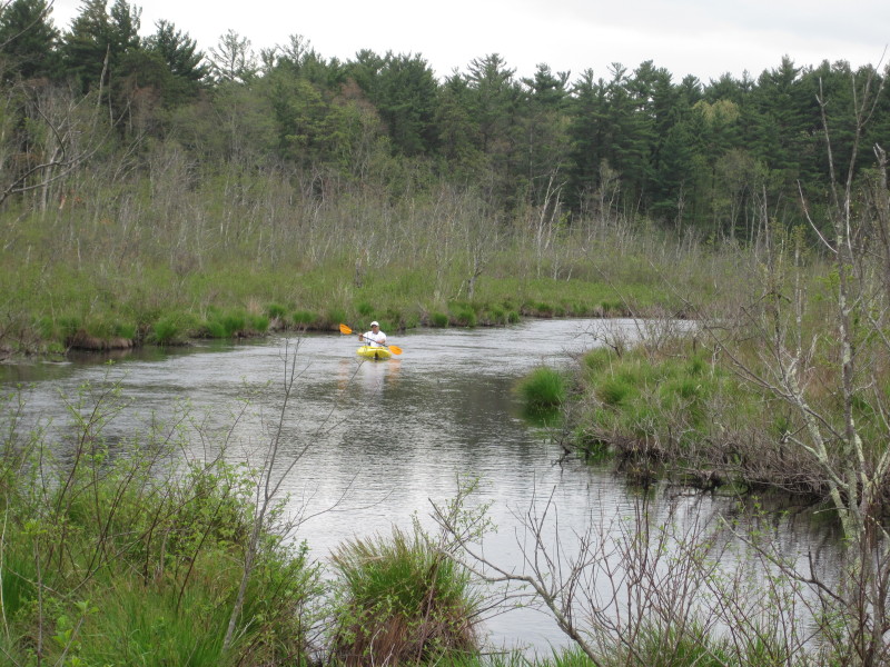
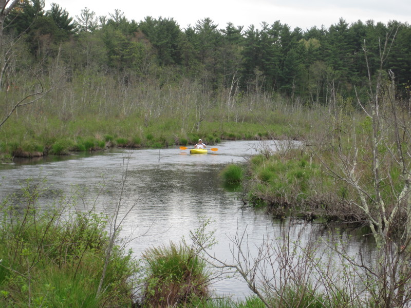 Photo taken by the Boston Kayaker's son from the bridge.
 Landed. South side trip was only 15 minutes round trip.
|