Other resources:
NH Love It or Leaf It: Getting to Know Merrimack
Merrimack River Watershed Council
Number of original photos on this page : 89
All photos in this website are original and copyrighted.
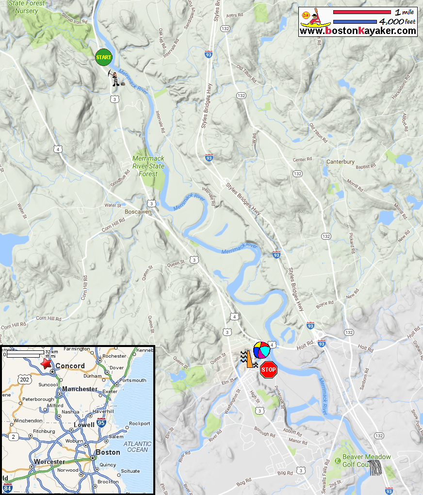
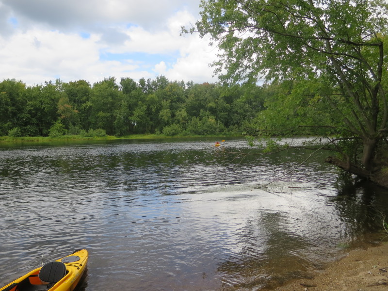
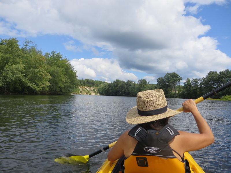
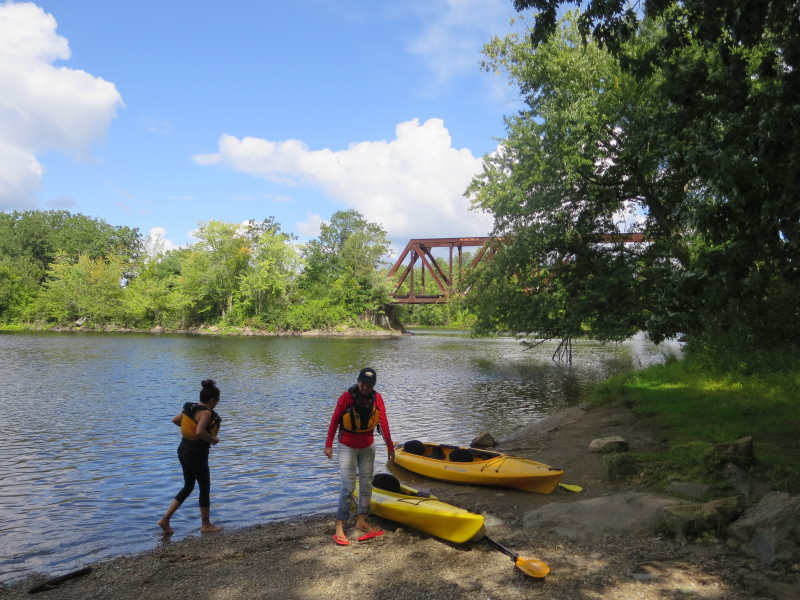
 At the put in to the Merrimack River on Route 3 in Boscawen NH.
Trip date is September 2017.
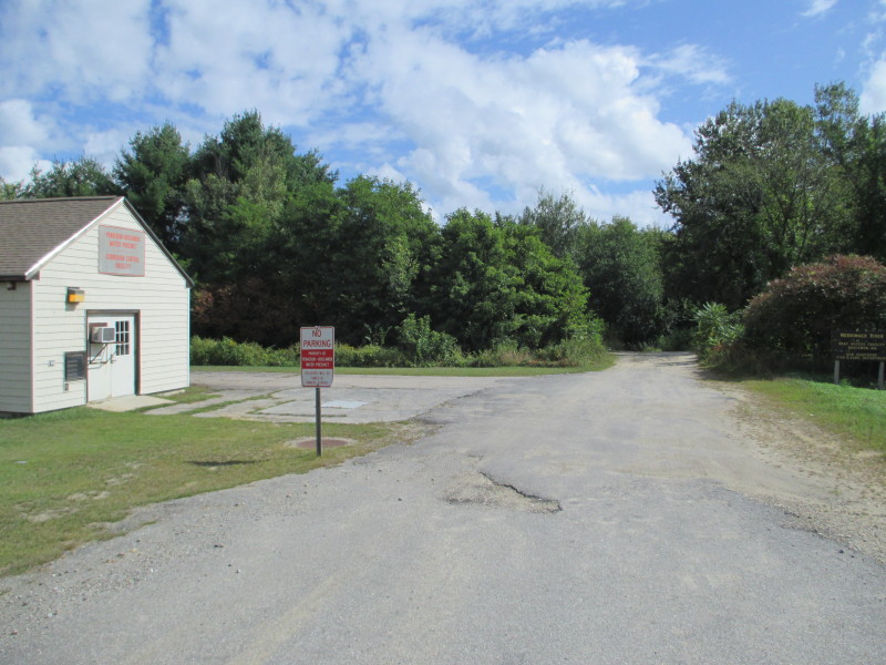
 This sign tells me I am at the right place.
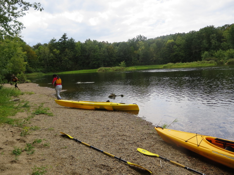
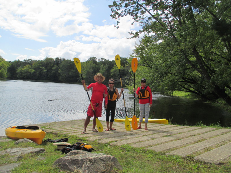 The Boston Kayaker with wife and sister-in-law on the ramp to the Merrimack River.
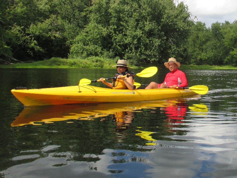
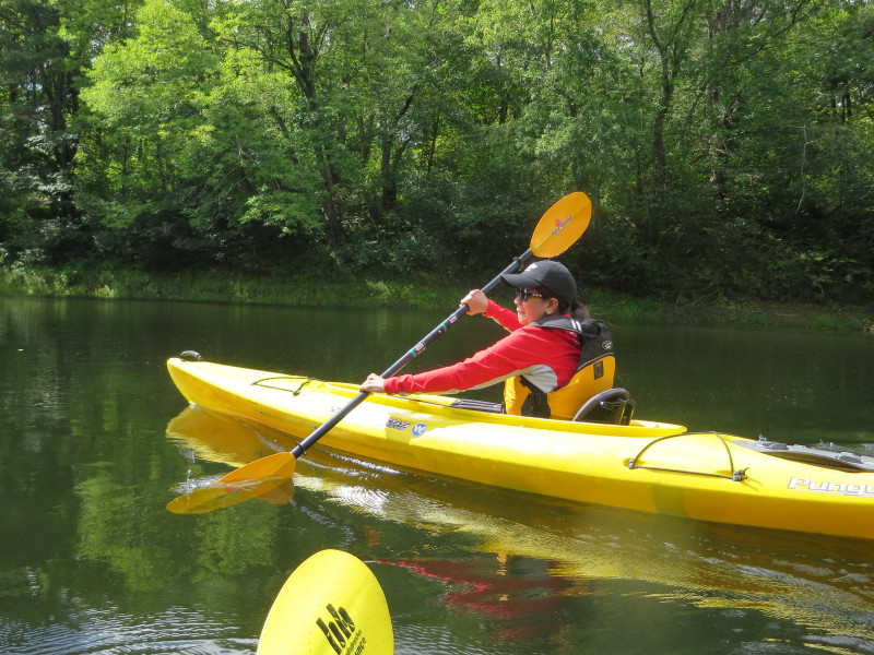
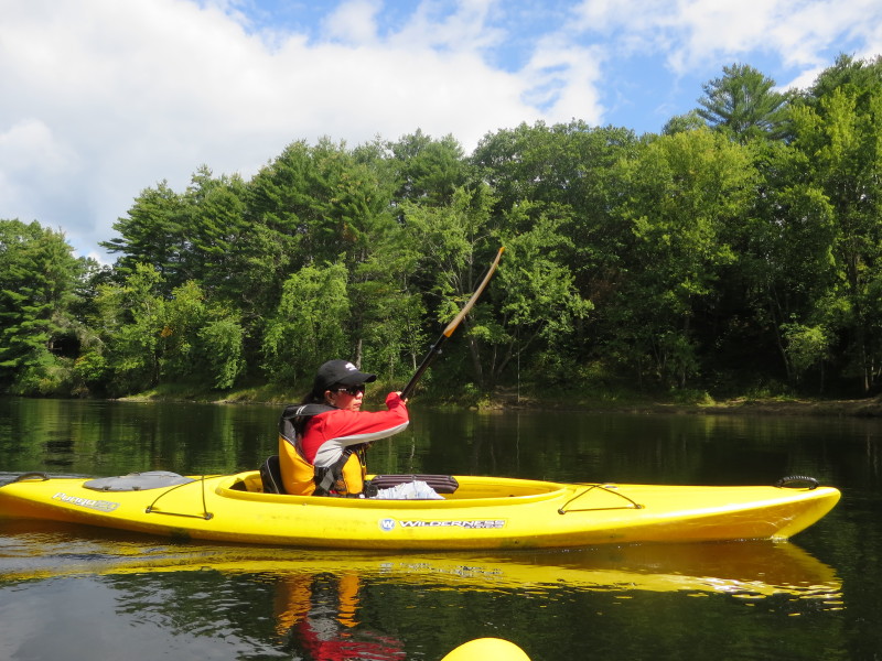
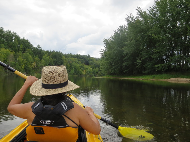
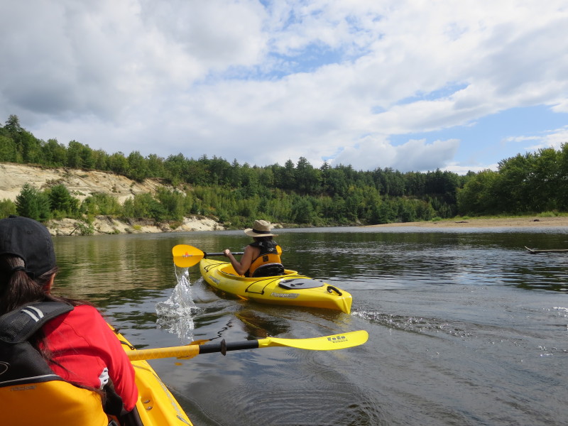
 The Boston Kayaker and wife just launched on the Merrimack River.
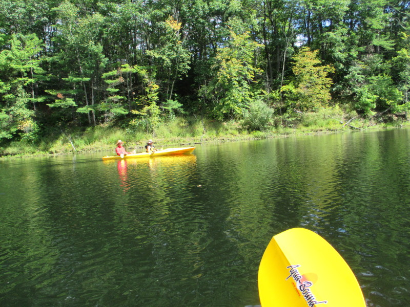
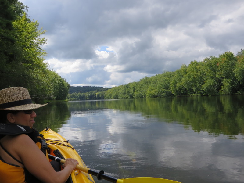
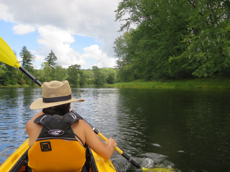
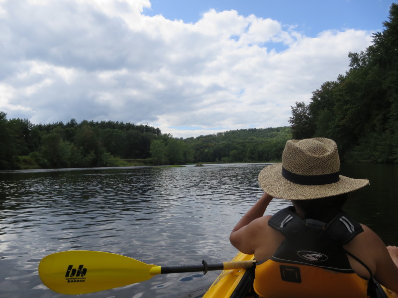
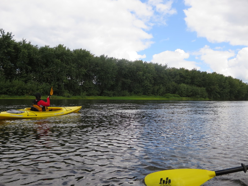
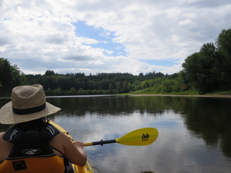
 My sister-in-law on her first kayak trip.
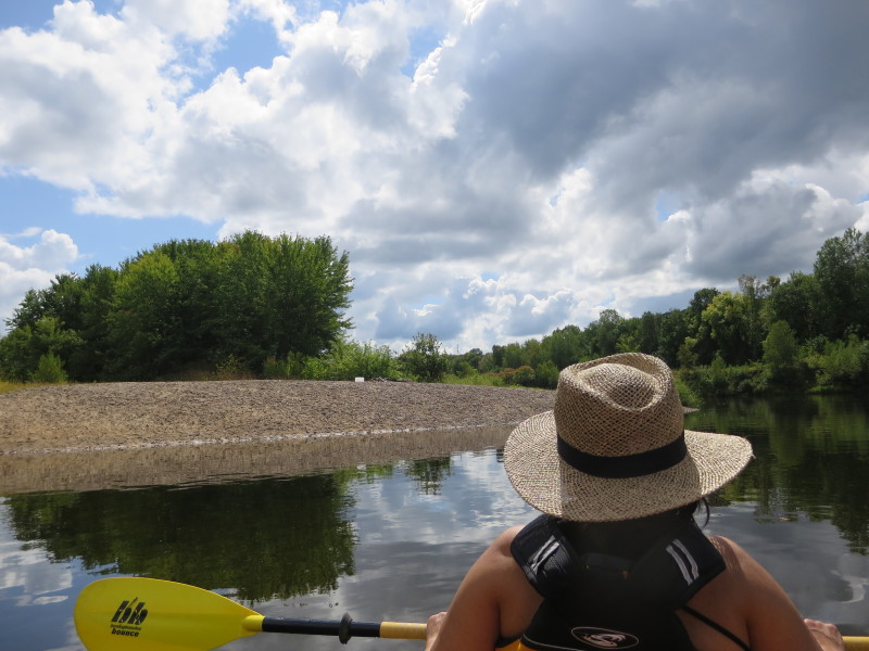
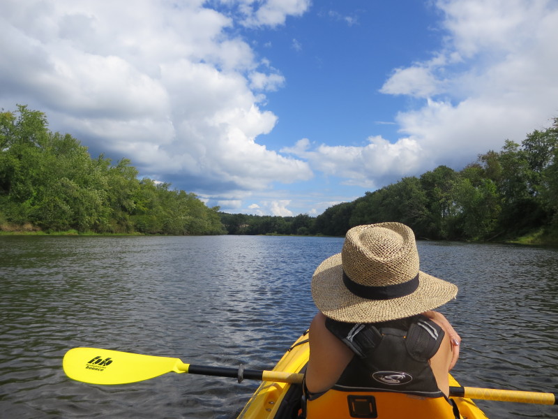
 Sunny skies.
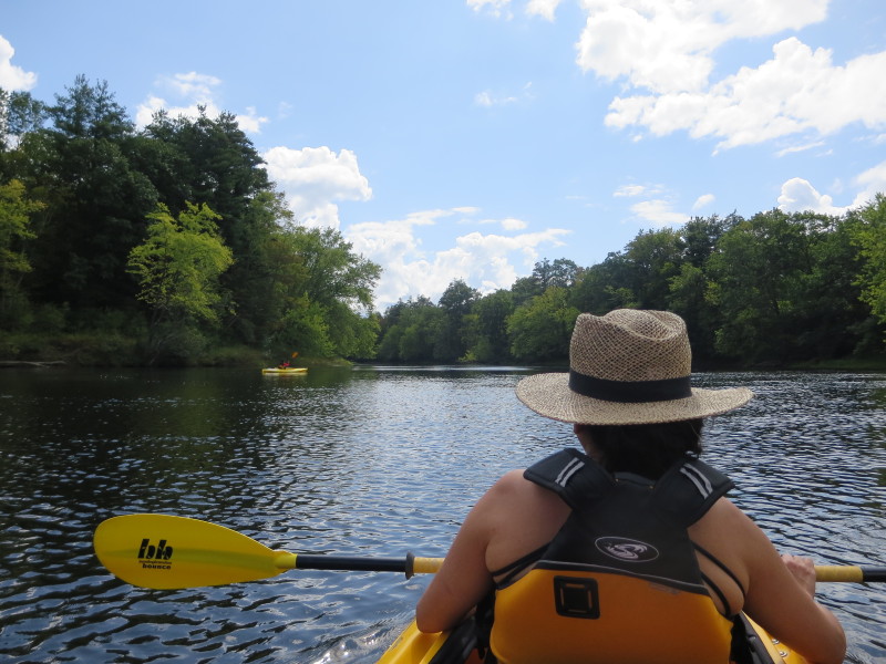
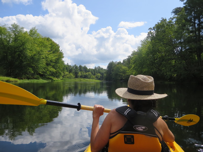
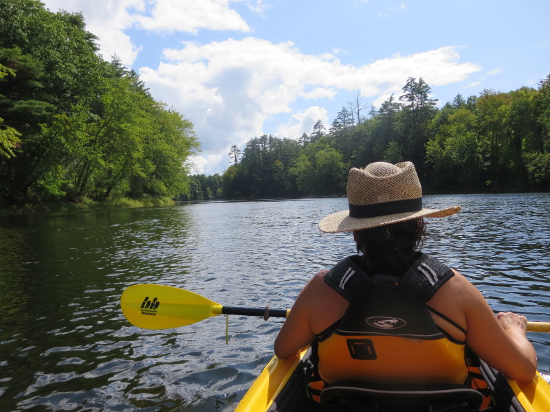
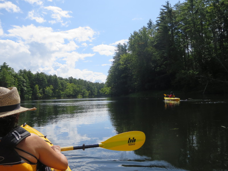
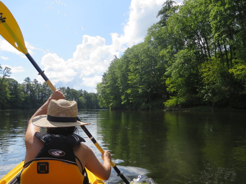
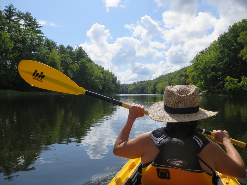
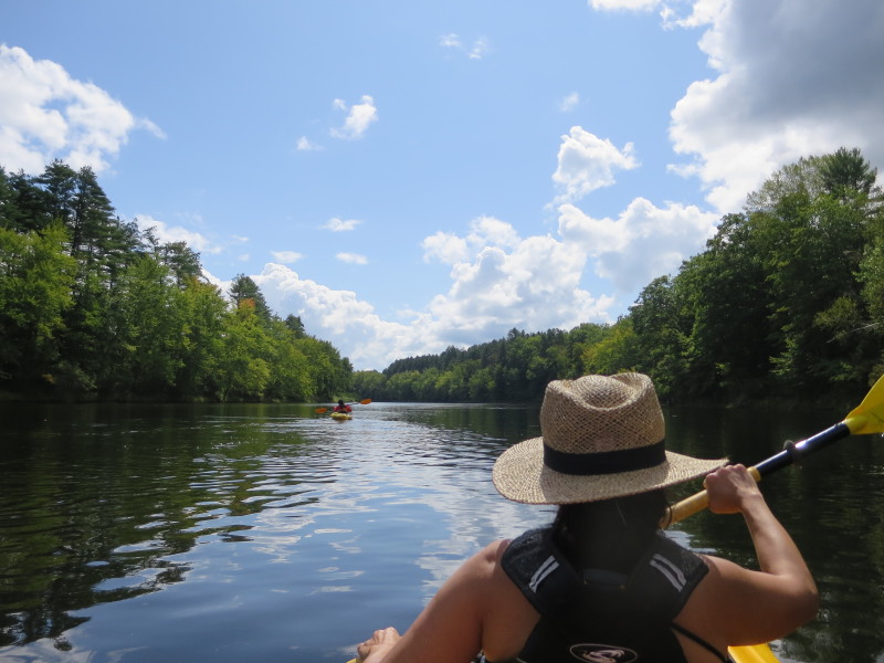
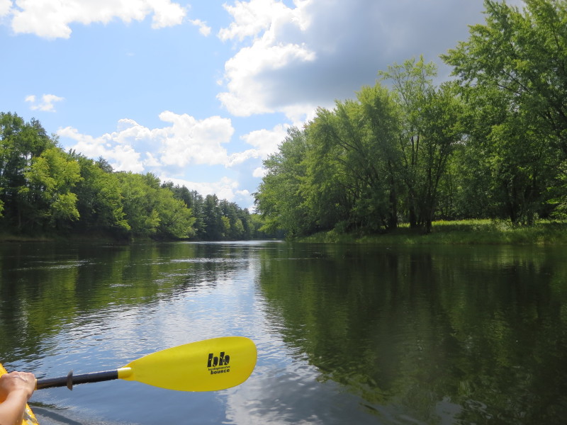
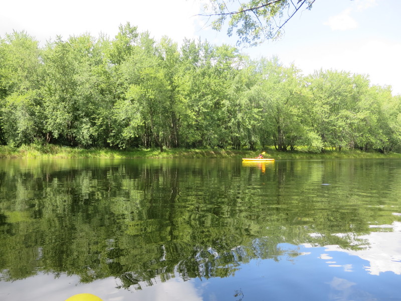
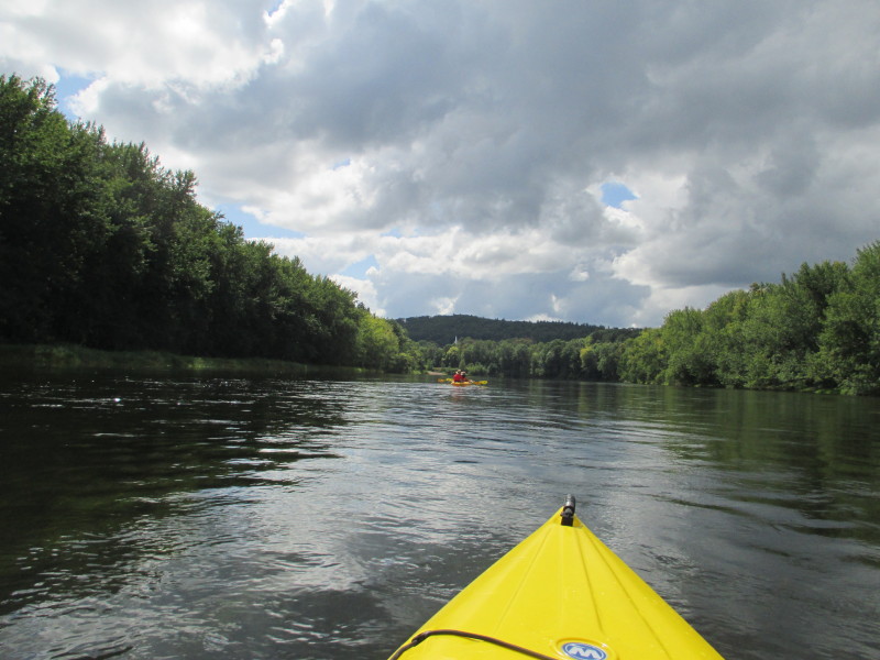
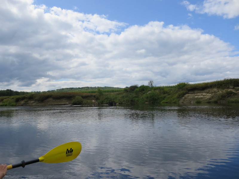
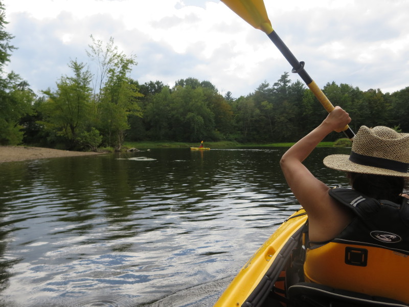
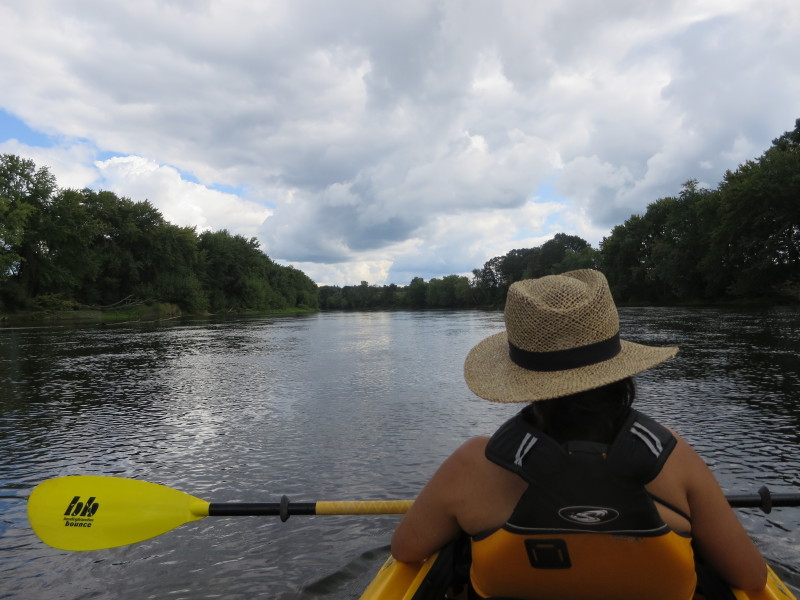
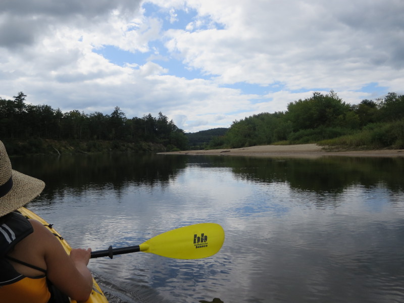
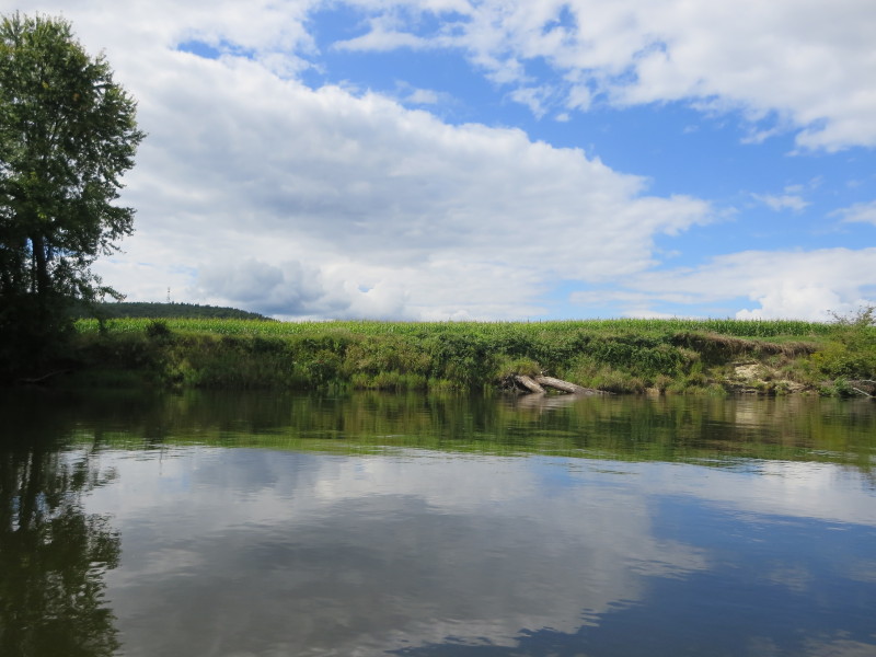
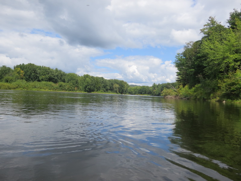
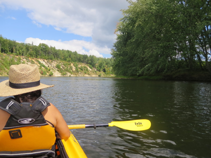
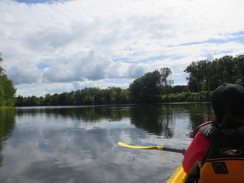
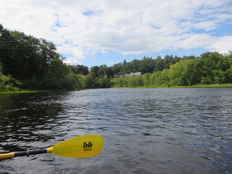
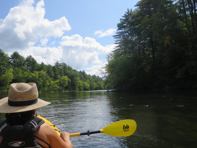 Merrimack is flowing slowly.
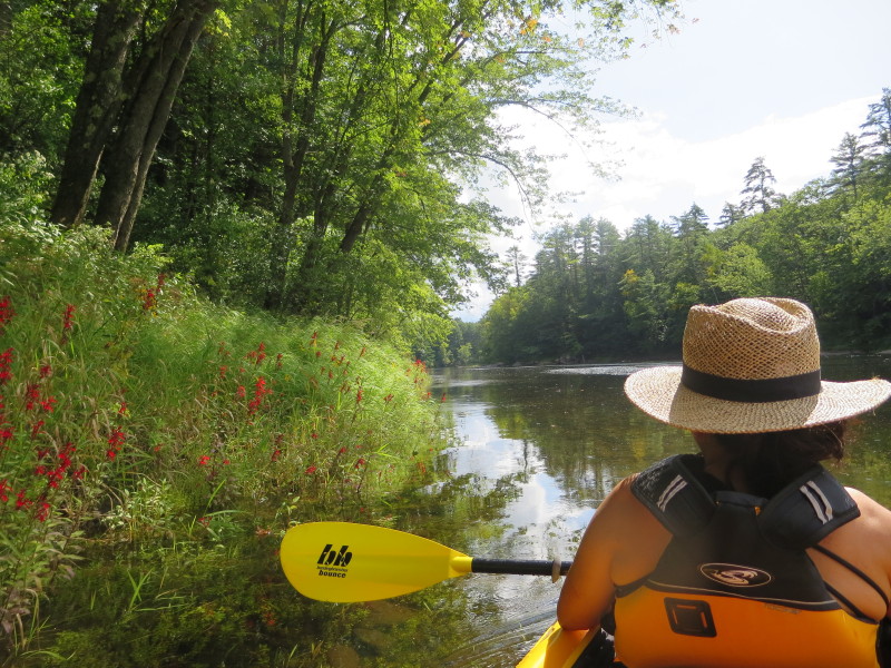
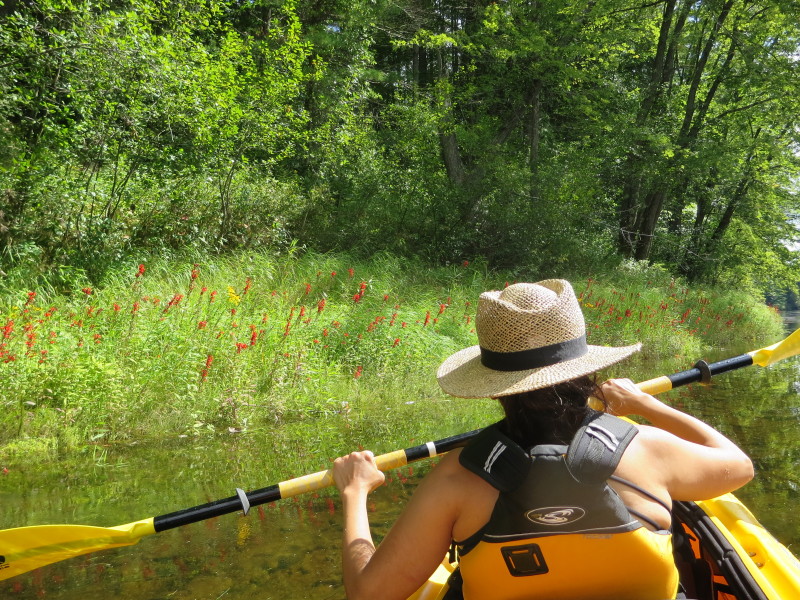 We saw these nice red flowers on the left bank.
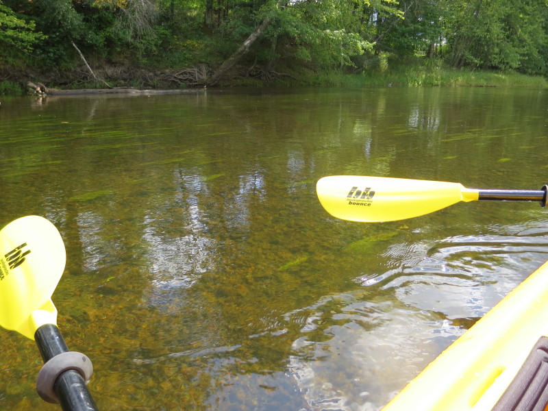
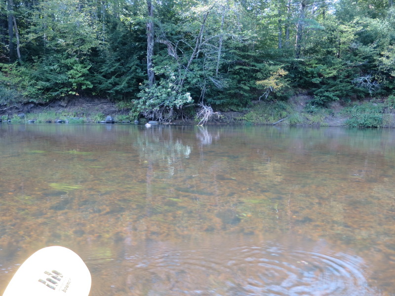 Water very clear here.
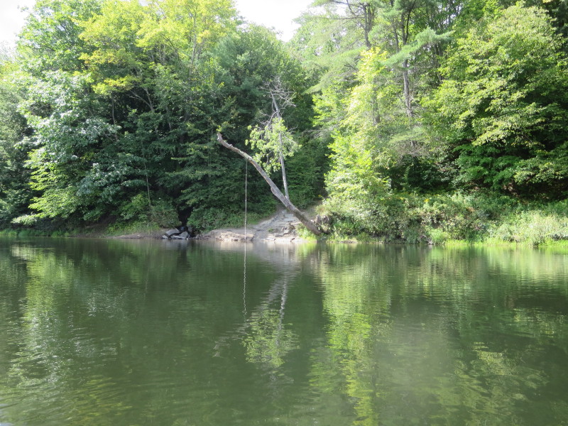 A swing rope on a tree.
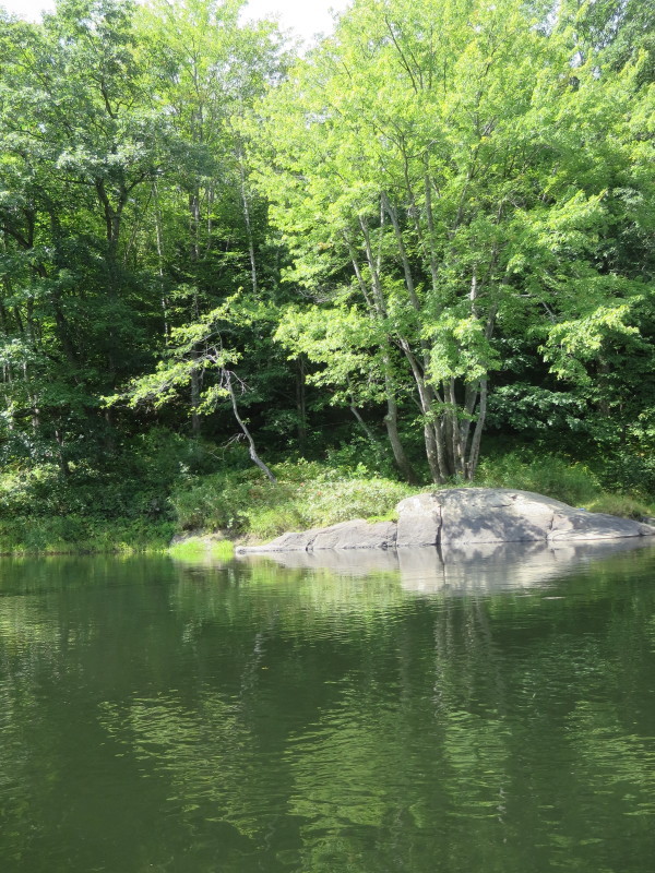
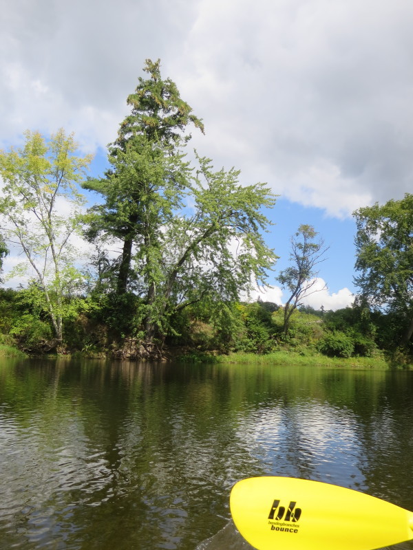
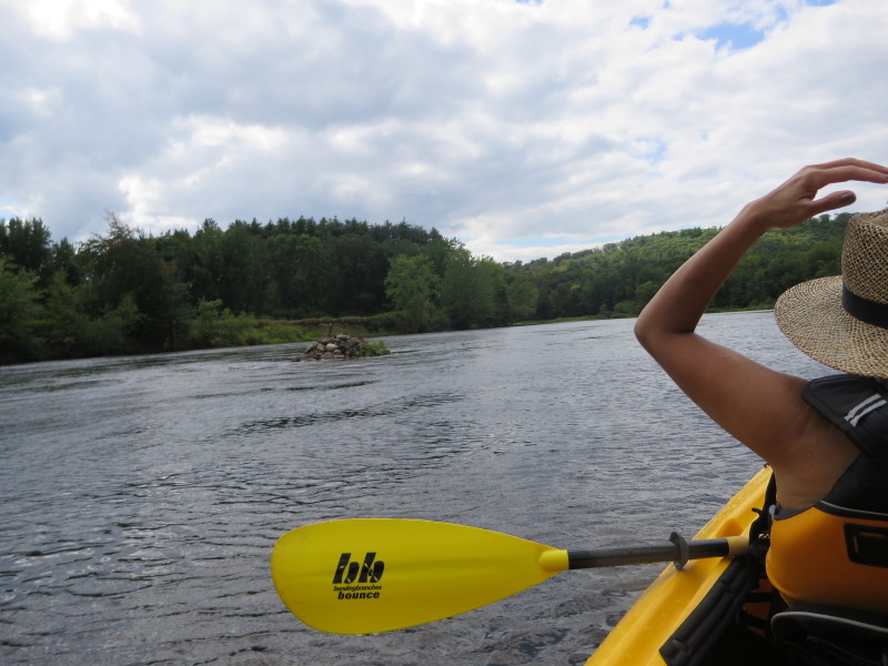
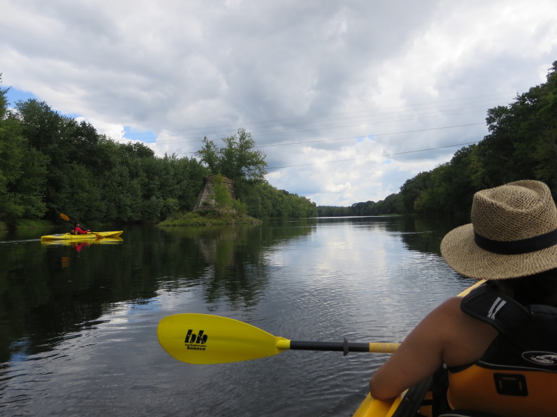
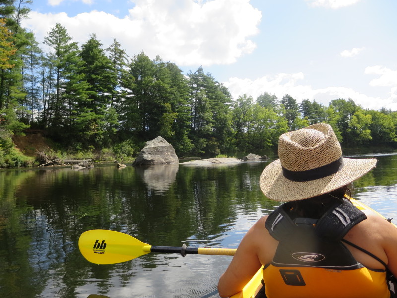 A big rock on the Merrimack River.
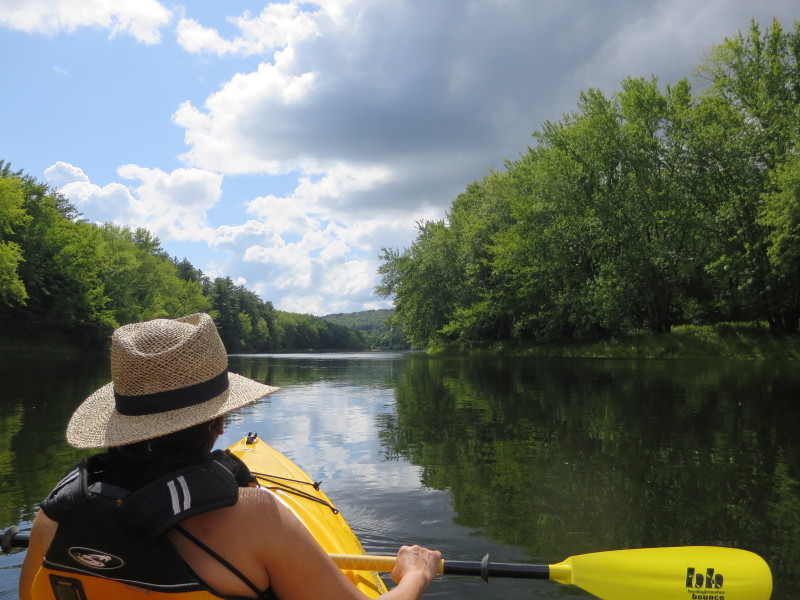
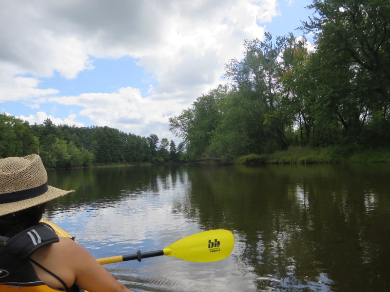
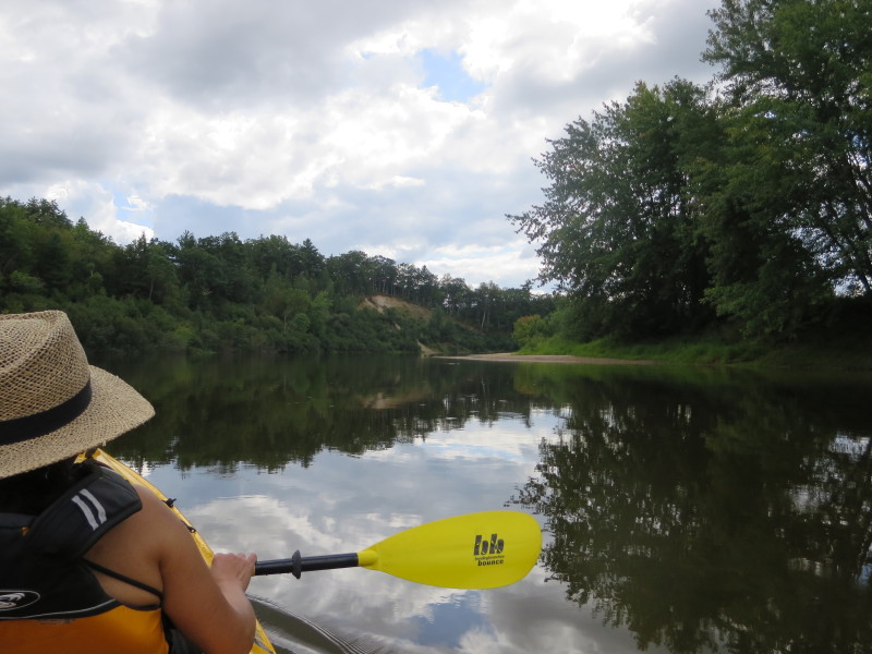
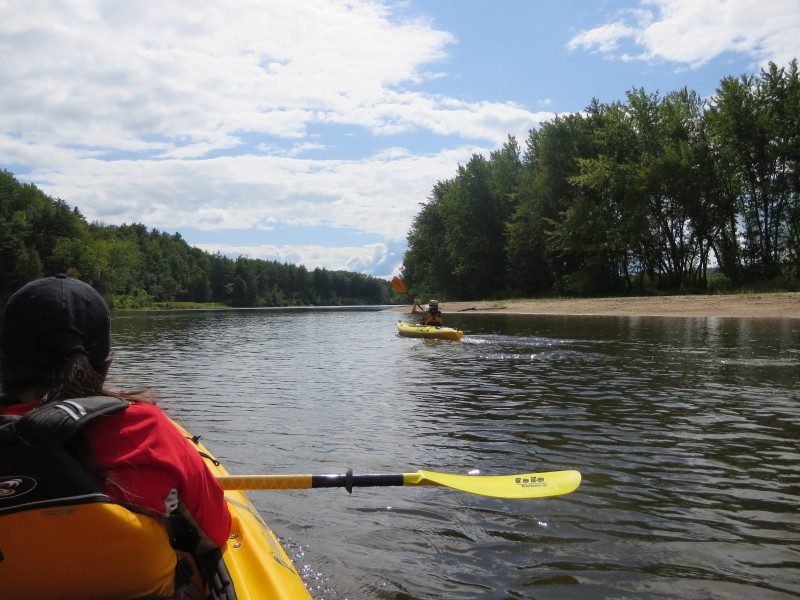
 First bend to the left . . .
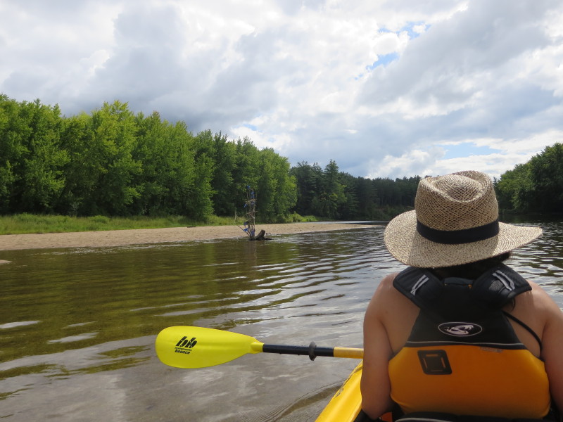
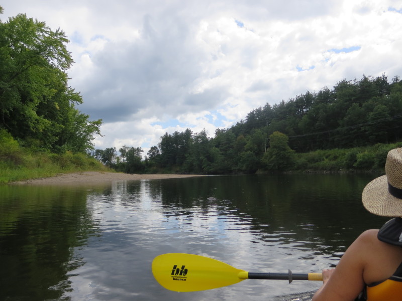
 Taking a short break on this beach.
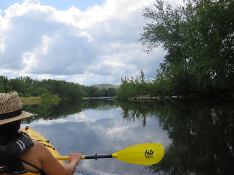
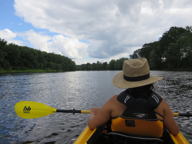
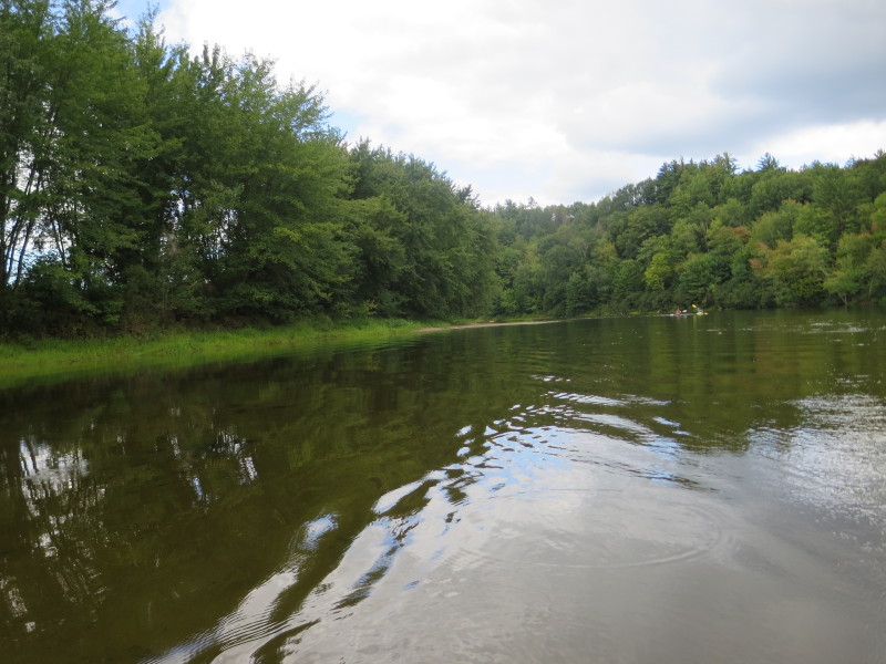
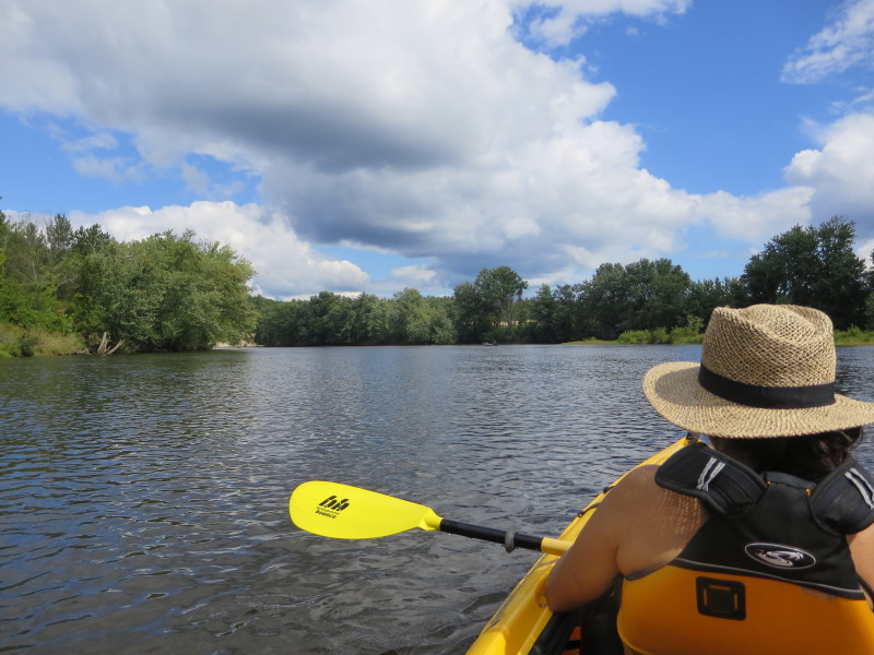
 Back on the river.
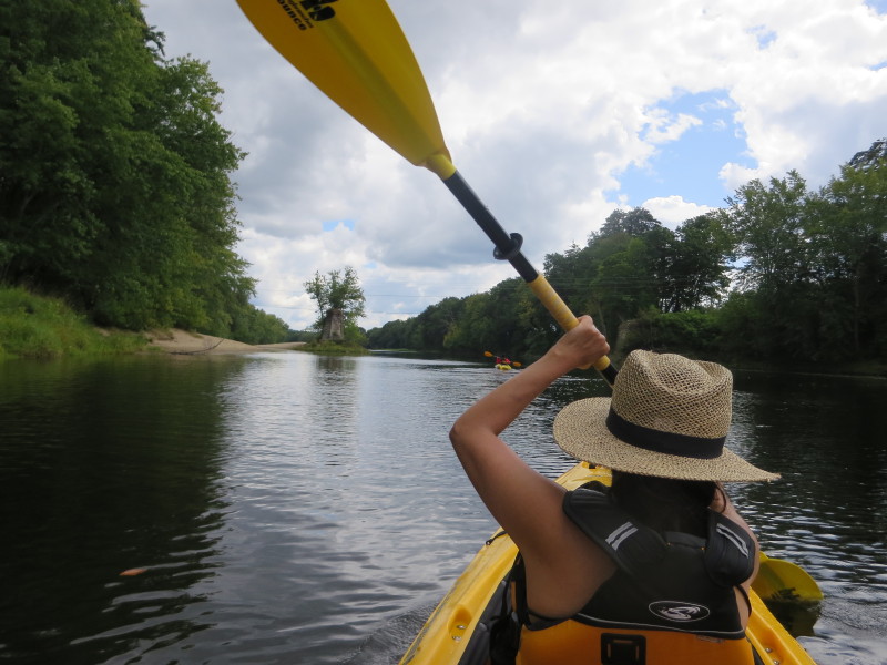
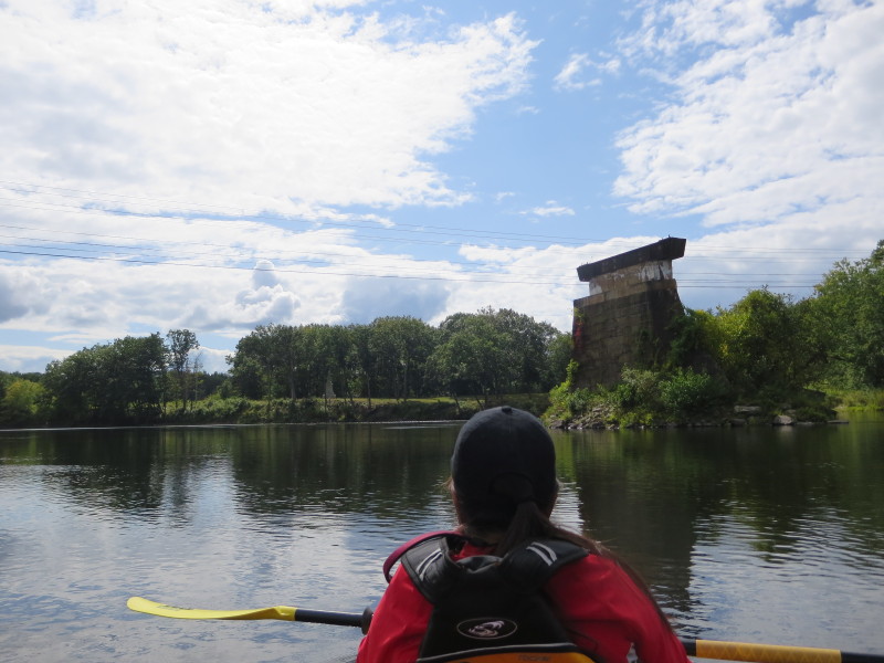
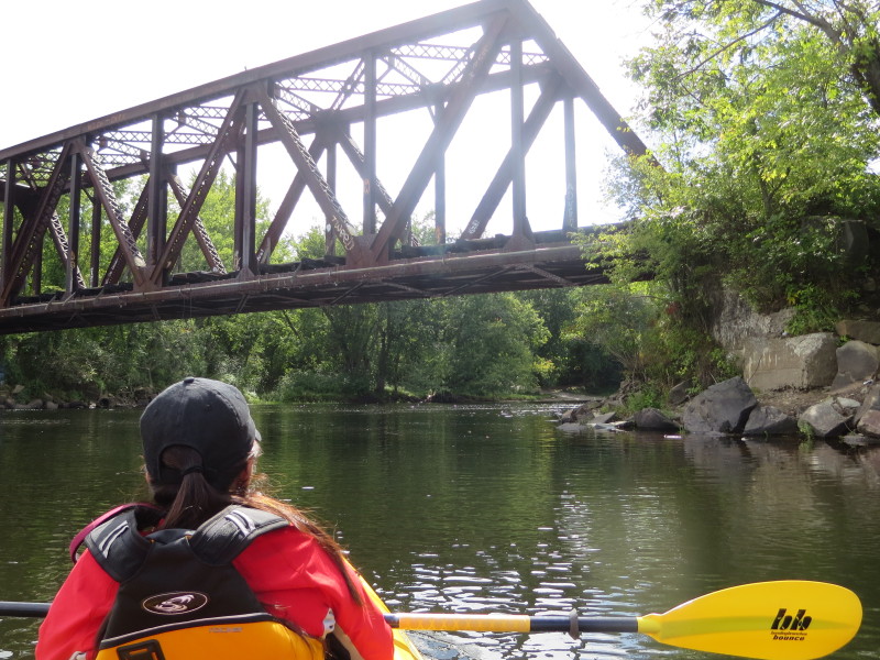
 Remnants of a bridge-gone-by.
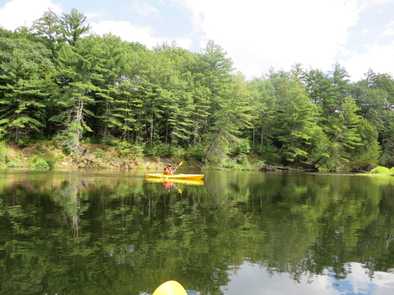
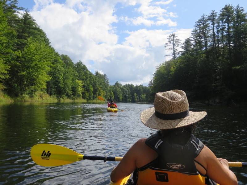
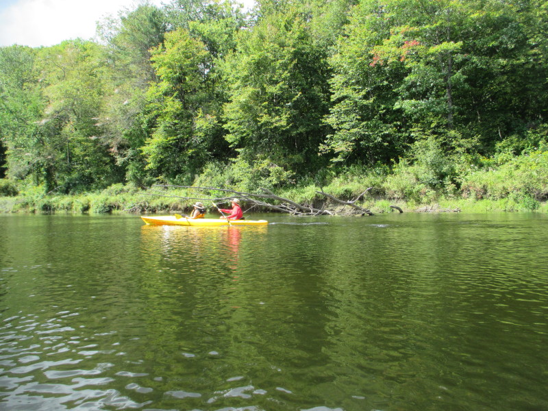
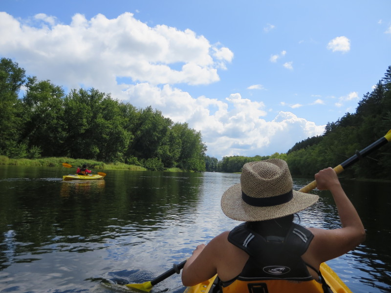
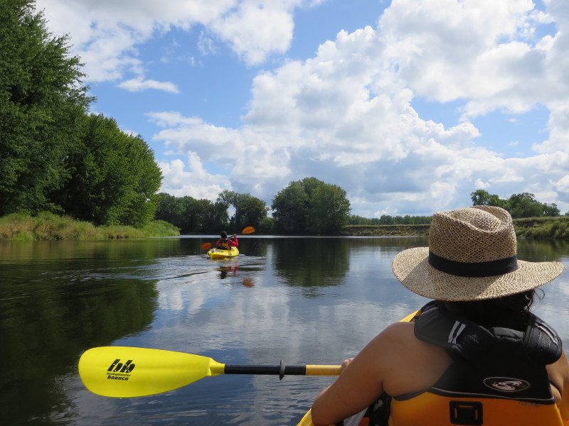
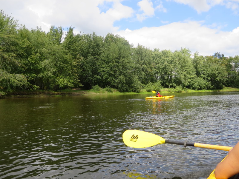
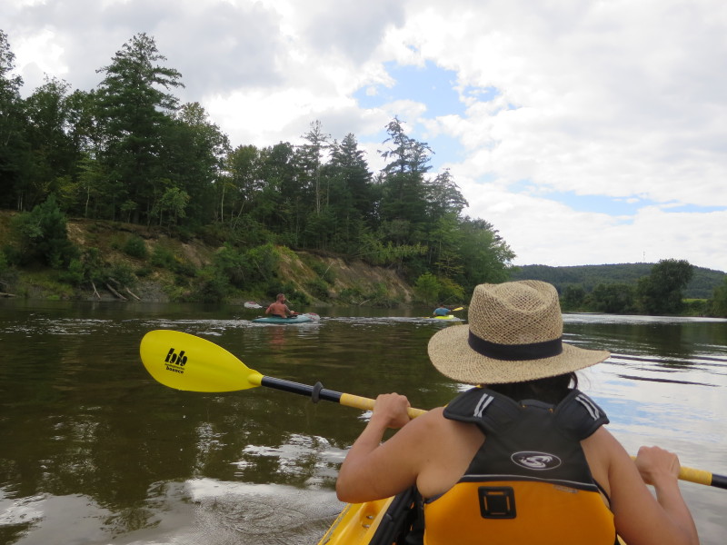
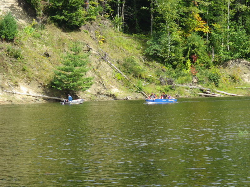
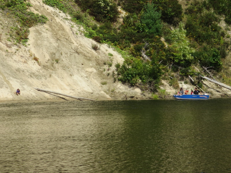
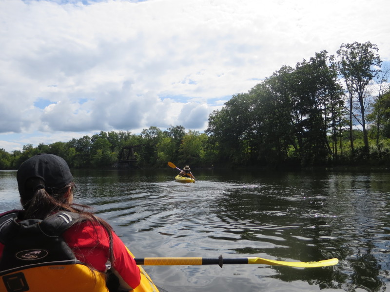
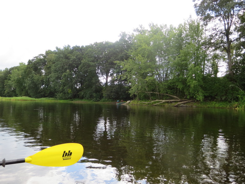 A couple of kayakers. We will find out later they are father-and-son.
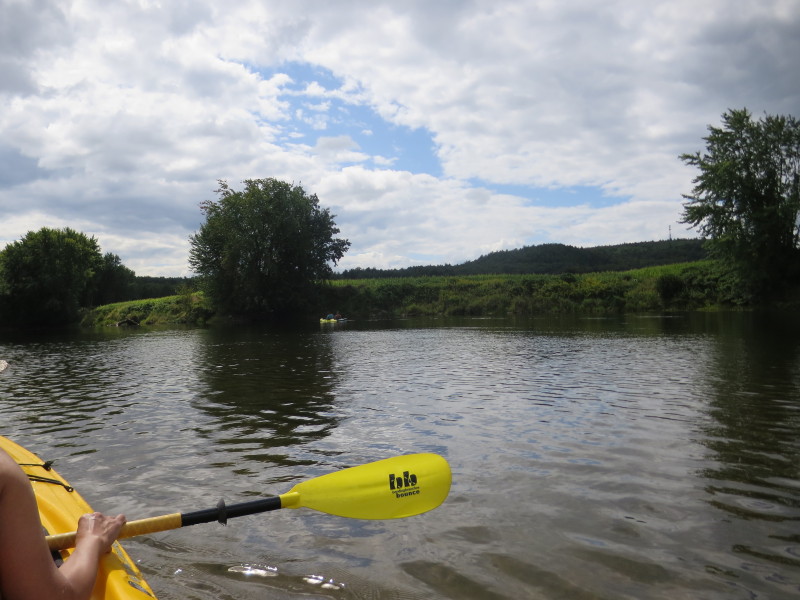
 Corn fields on the right bank.
 The power lines on River Road.
 River Road on right.
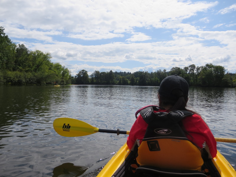
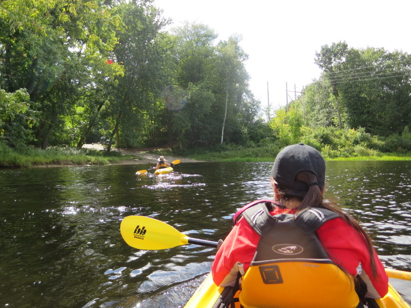
 My wife (now in the single kayak) and sister-in-law switched places.
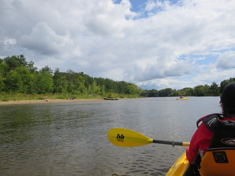
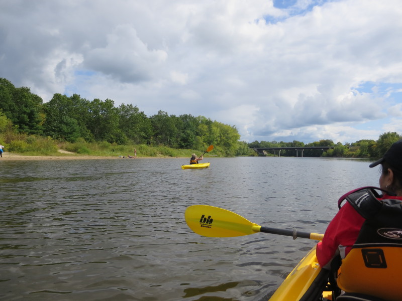
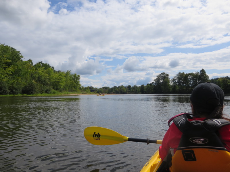 Now we can see the Route 4 bridge.
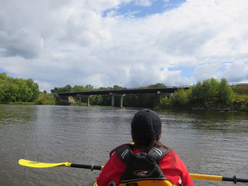
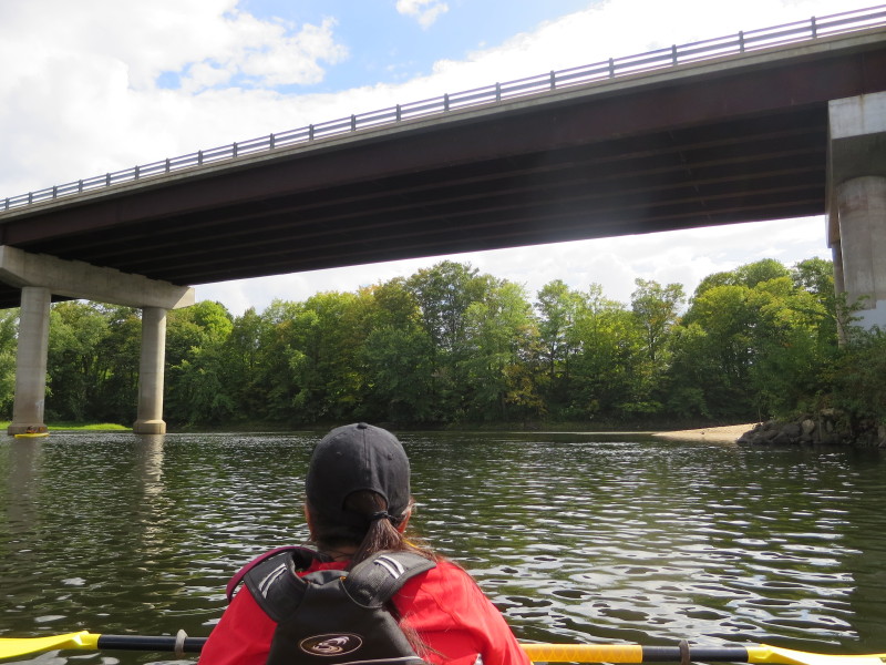 Going under the Route 4 bridge.
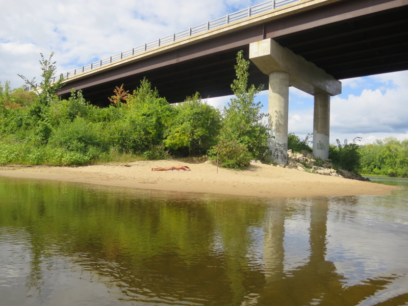
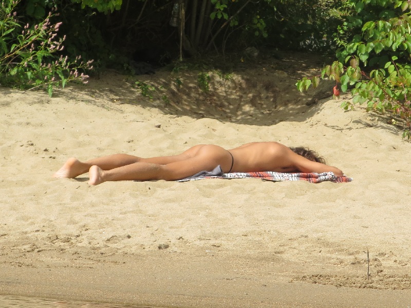 A sun-bather on the right bank.
 Now past the Route 4 bridge.
 Entering the cove on right passing under the rail bridge.
 Inside the cove, looking straight ahead is the bottom of the Penacook Dam.
 On left is the takeout spot.
 Landed. Paddle time is exactly 3 hours.
My sister-in-law slowed us down by an hour!
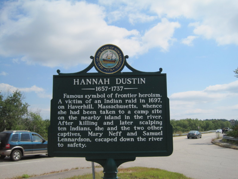 The marker at the Hannah Dustin on Route 4 rec area. Sign reads:
Hannah Dustin 1657-1737
Famous symbol of frontier heroism. A victim of an Indian
raid in 1697, on Haverhill, Massachusetts, whence she had
been taken to a camp site on the nearby island in the river.
After killing and later scalping ten Indians, she and the two
other captives, Mary Neff and Samuel Lennardson, escaped down
the river to safety.
|
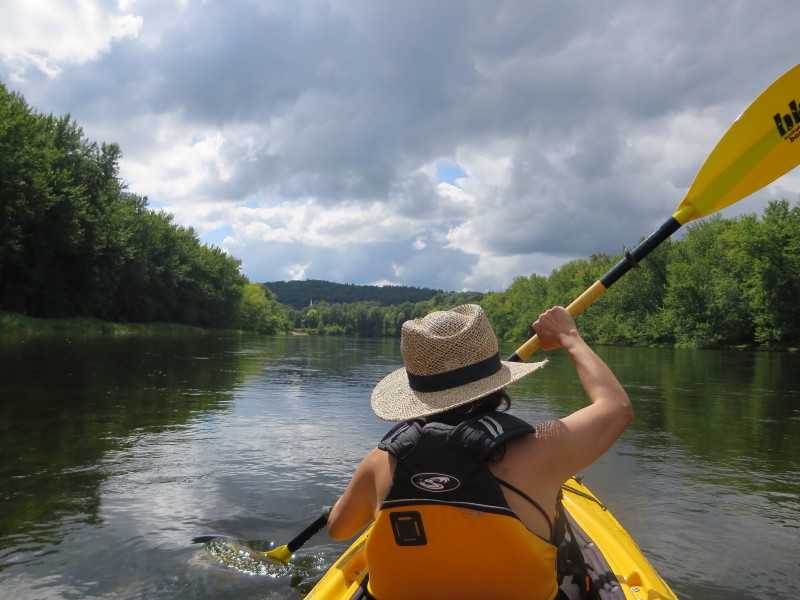
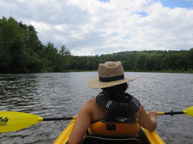
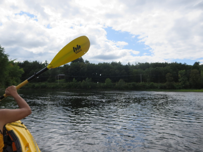
 Kayaker