|
Download printer-friendly
PDF version that fits in one page: |
Other resources:
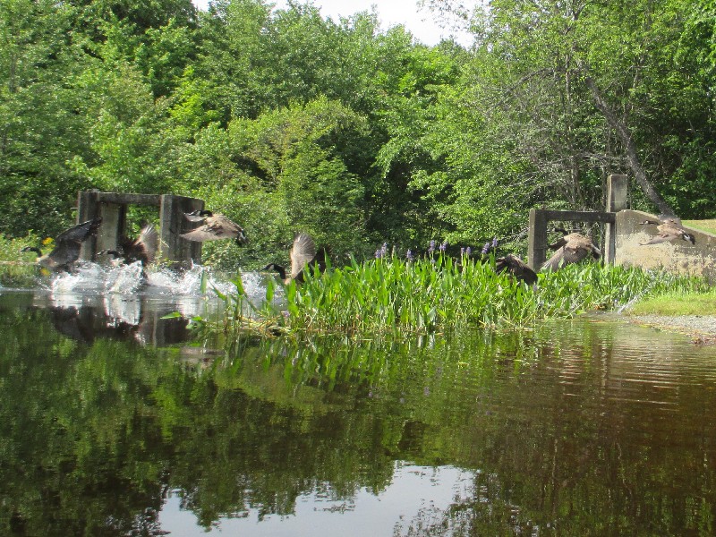
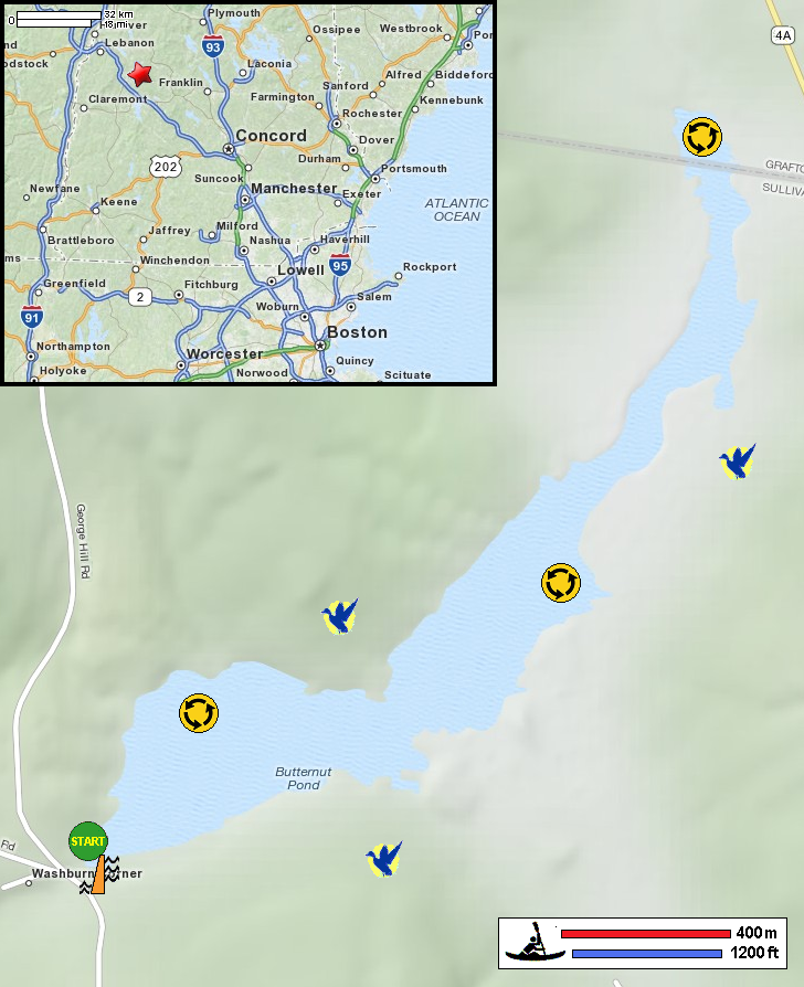
REI Guidepost: McDaniels Marsh Calm Water Paddler: On McDaniels Marsh NH Fish and Game: McDaniels Marsh Wildlife Management Area McDaniels Marsh Topo Map McDaniels Marsh Topo Map (cached copy) Kim Accorsi: McDaniels Marsh All photos in this website are original and copyrighted. At McDaniels Marsh on George Hill Road in Springfield NH. Trip date is July 2016. Next to the access area is the McDaniels Marsh Dam. The Boston Kayaker ready to launch into McDaniels Marsh. Just launched. I am just paddling straight ahead. McDaniels Marsh is filled with aquatic plants. In the middle of the picture is the opening to the rest of the marsh. Just entered the north east section of McDaniels Marsh. Water lilies on McDaniels Marsh. Here, the marsh is river-like in the sense that there is only a narrow clearance free of water vegetation. A beaver lodge on McDaniels Marsh. Seems like the clear path here in the marsh is on the western side near the trees. I can see another beaver lodge. Another beaver lodge on McDaniels Marsh. It is getting very shallow here and the water filled with vegetation. I have reached my point of return. Just turned around and now paddling back. Will paddle past this peninsula on the right-half of the picture and veer right to the take out. I can now see the access area to McDaniels Marsh at center of photo. My arrival disturbed these ducks at the dam next to takeout. Landed back. Paddle time is 50 minutes. |