|
Download printer-friendly
PDF version that fits in one page: |
Other resources:
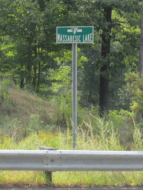
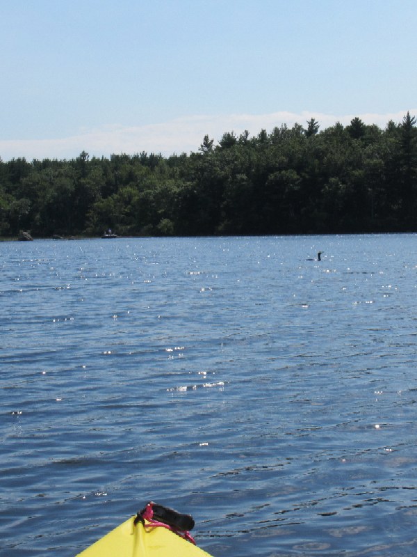
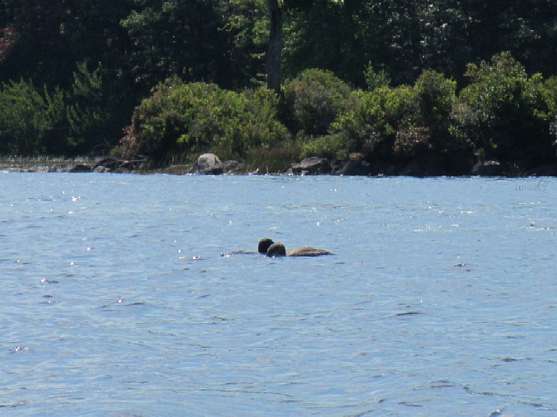
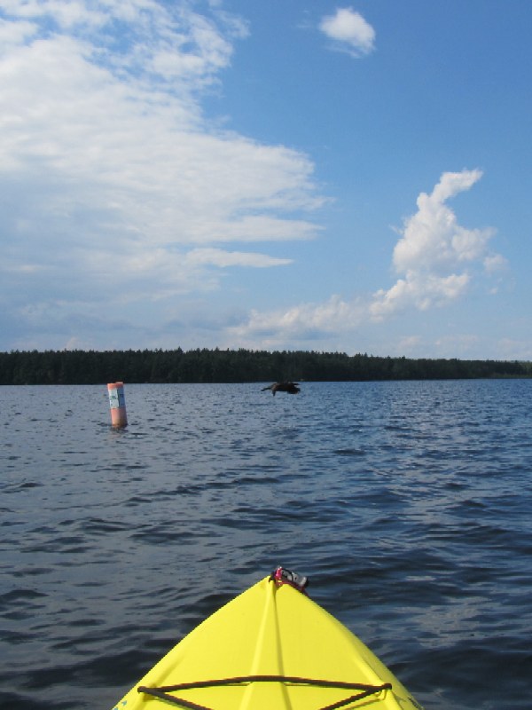
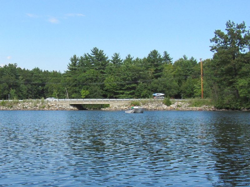
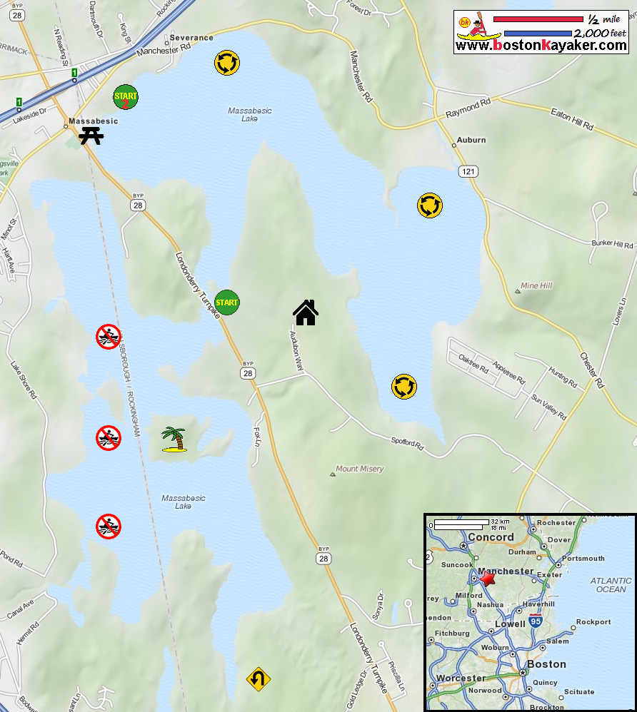
Manchester NH: Boating On Lake Massabesic Manchester NH: Lake Massabesic Depth Contour Map REI Guidepost: Massabesic Lake NH Audubon Society: Massabesic Audubon Center Massabesic Lake Kayak Trip Report (with pictures) Wikipedia.net: Massabesic Lake All photos in this website are original and copyrighted. At Massabesic Lake Recreation Area. Trip date September 2012. I came here just to have a look and will launch on Route 28 bridge. Lake Massabesic from the rec area. At the Route 28 bridge over the Massabesic. Just launched at Lake Massabesic from the Route 28 bridge. There's my son on the bridge. I remember telling my son: "See you in hour and a half!" Just entered the western section of Massabesic Lake. A couple of kayakers on Lake Massabesic. I am hugging the eastern coast . . . Passing dark clouds. A cormorant on Lake Massabesic. The rocky shores of Massabesic Lake. Continuing on my southern paddle. Hugging ducks. I can see clear at least 3 feet. I will be go around that island to my right and start my paddle back. Now facing north, I can see the full western Lake Massabesic. The buoy markers are clearly labelled: "NO TRESPASSING WEST OF THIS LINE". Landed. Trip was 1 hour 40+ minutes. |