|
Download printer-friendly
PDF version that fits in one page: |
Other resources:
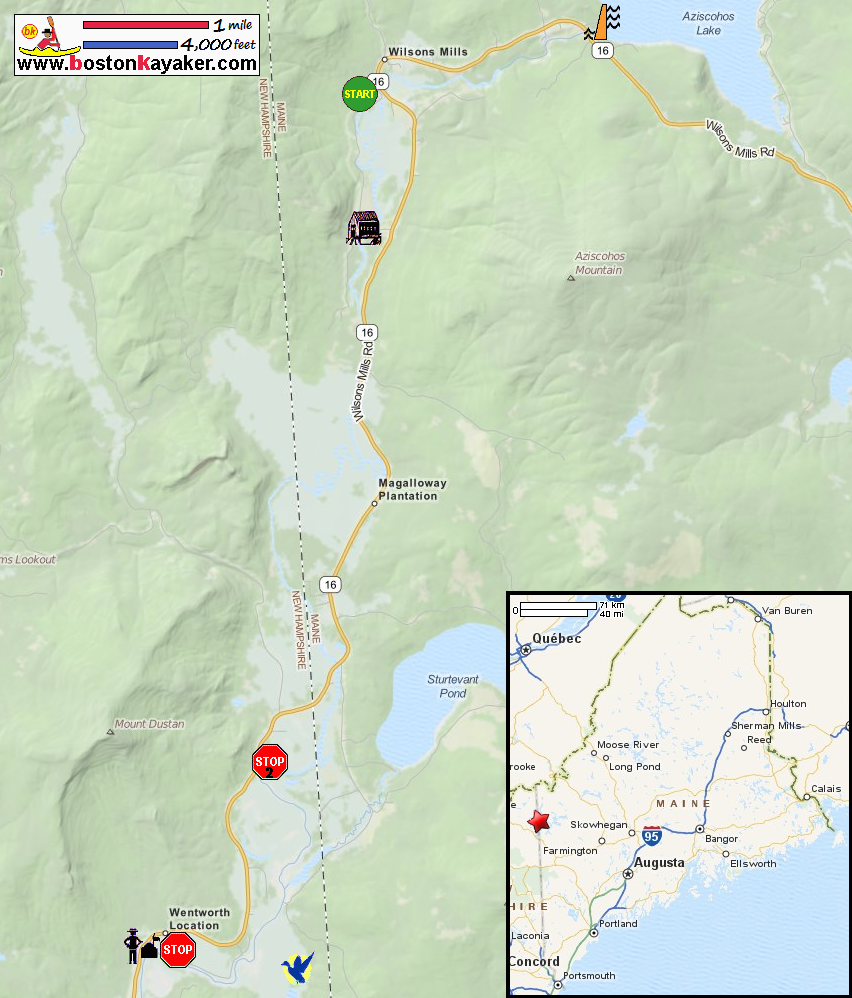
Paddle.net: Magalloway River Kayak Trip Report 1 Paddle.net: Magalloway River Kayak Trip Report 2 All photos in this website are original and copyrighted. On Route 16 in Errol ME. Pictures taken September 2013. The Magalloway River launch on Bennett Road off Route 16 in Errol ME. The Route 16 bridge crossing over the Magalloway River in Errol ME. A fisherman wading into the Magalloway River looking downstream from put in. The Bennet Covered Bridge over the Magalloway River. Sign on covered bridge says "BENNET-BEAN 1898". Close to the covered bridge is a campsite along the Magalloway River. The road marker on Route 16 in Errol NH for the canoe access to Magalloway River. This take out is designated in the map as the stop2 alternate take out. Parking lot at the launch. Short portage to the water from the loading/unloading area. Pontoon and ramp on Magalloway River. Looking downriver on Magalloway River from the pontoon. Now looking upriver from the pontoon. Farther south on Route 16 is the Umbabog National Wildlife Refuge (NWR) Visitor Center. Access to the Magalloway River is next to this center. The take out from Magalloway River next to the NWR Visitor Center. |