 Kayaker

|


|
Download printer-friendly
PDF version that fits in one page: |

|
|
Other resources:
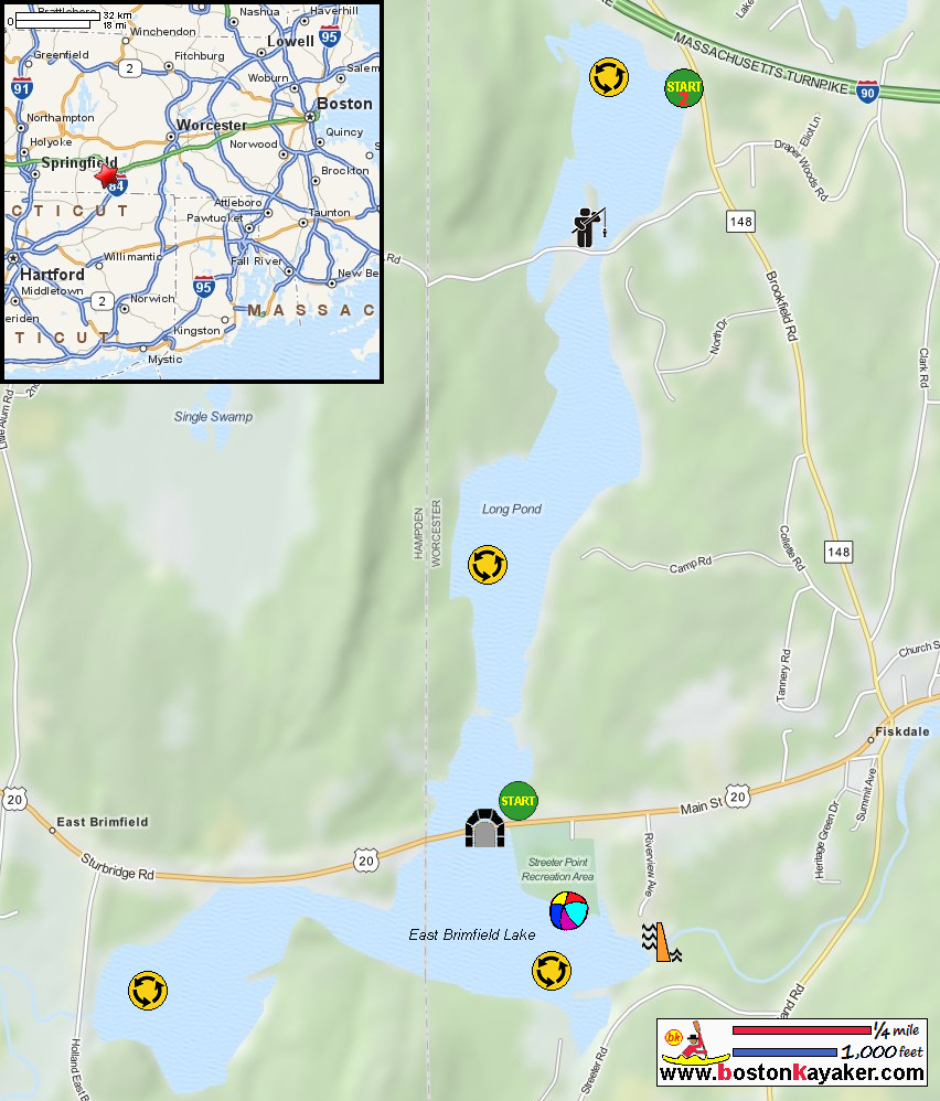
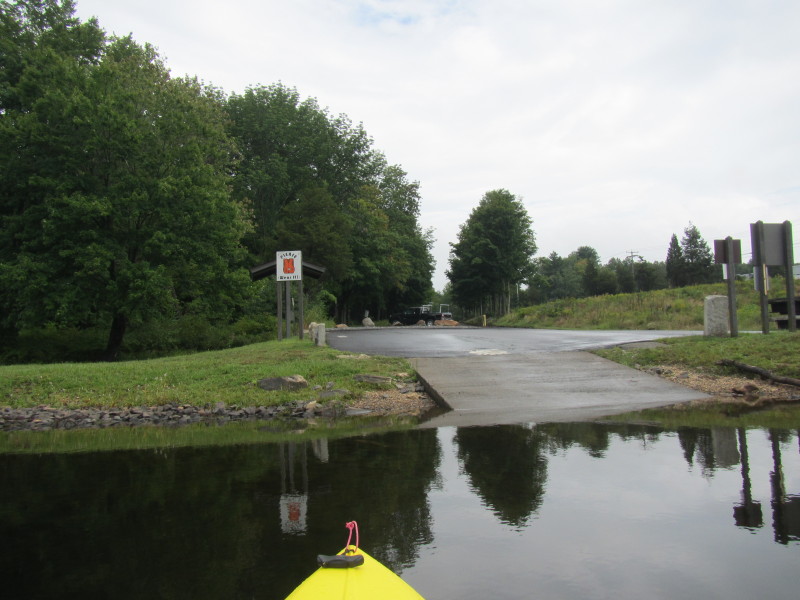
Trash Paddler: Long Pond nd Quinebaug River Kayak Trip Report Us Army Corps of Engineers: East Brimfield Lake All photos in this website are original and copyrighted. 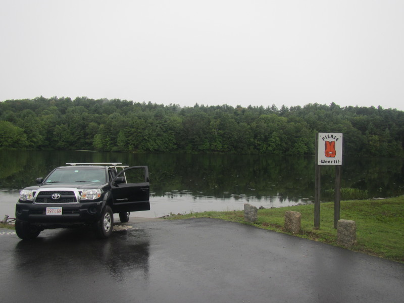 On the Long Pond boat ramp in Fiskdale MA.
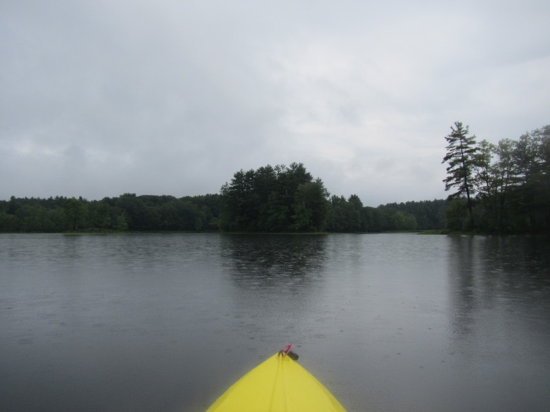
Trip date is the rainy Labor Day September 2013. 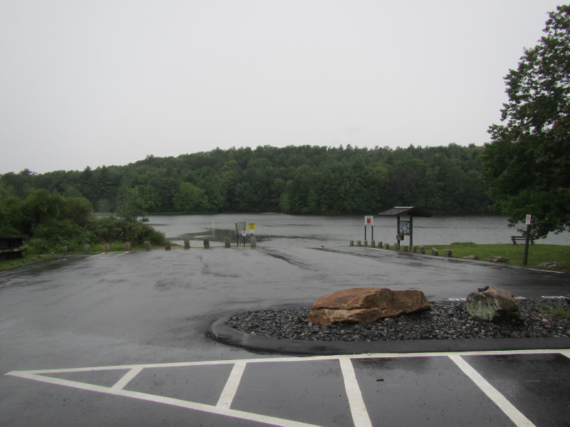 I was hoping there will be a break in the rain for dry kayaking . . .
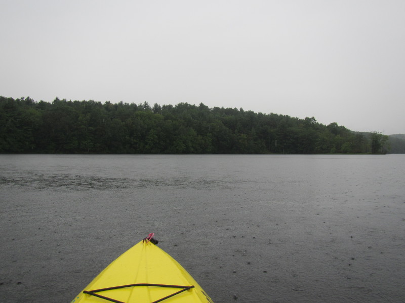
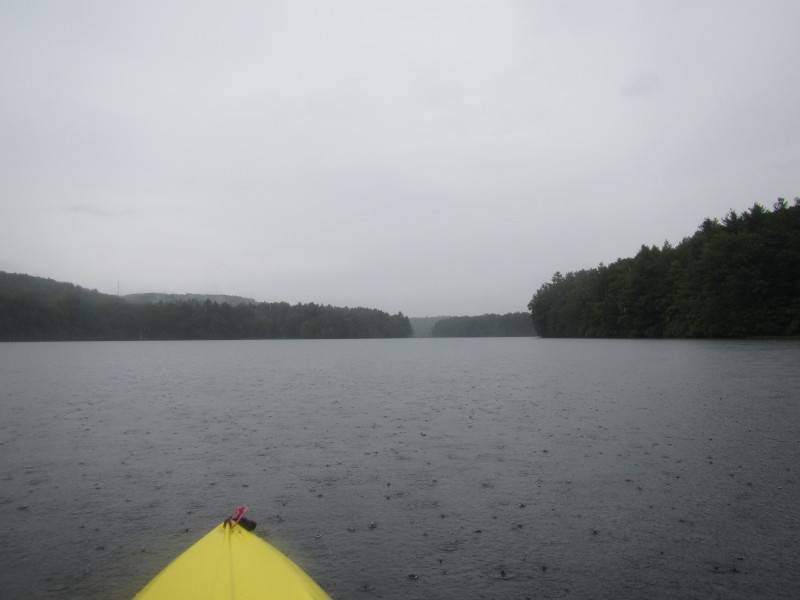
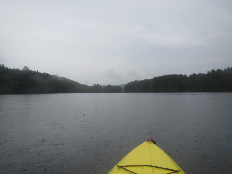
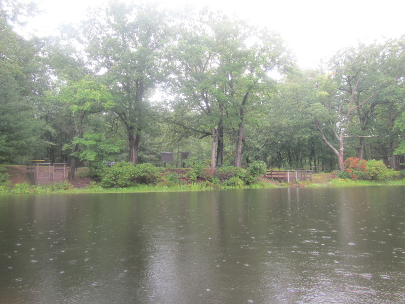
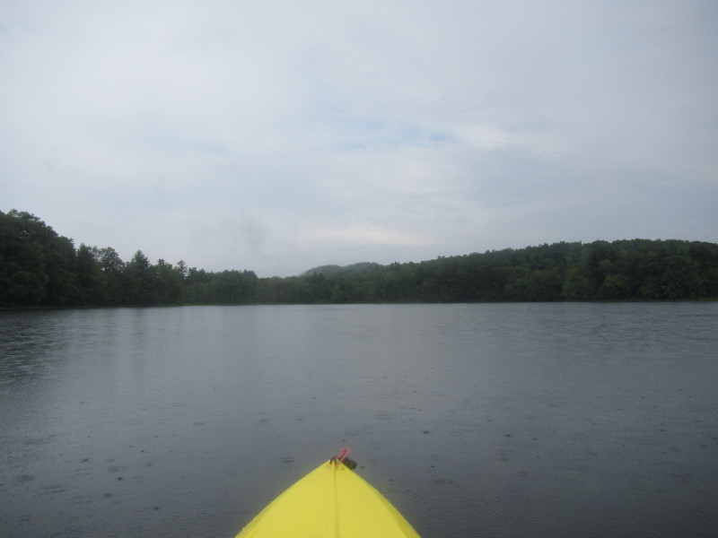
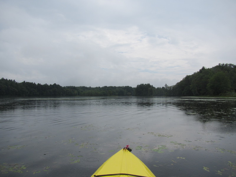
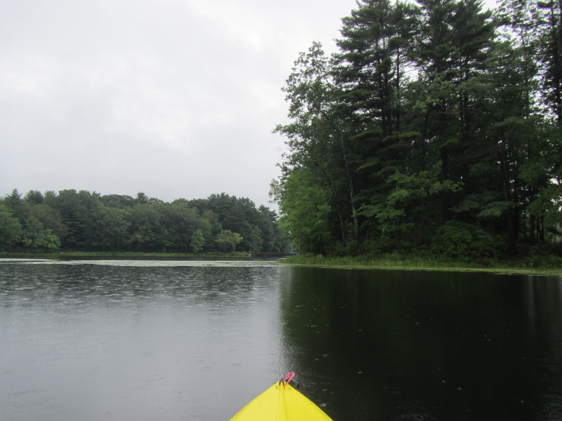
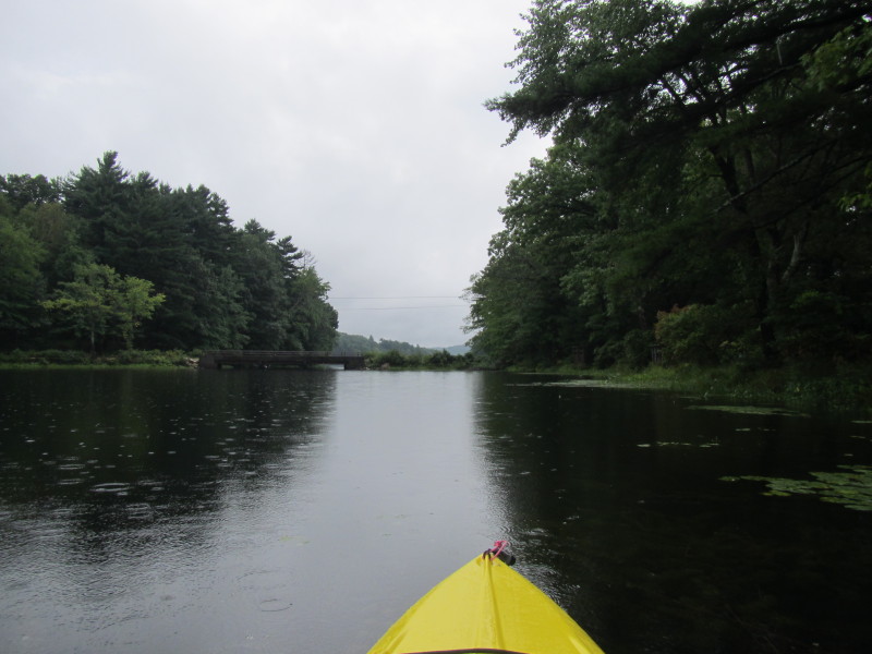
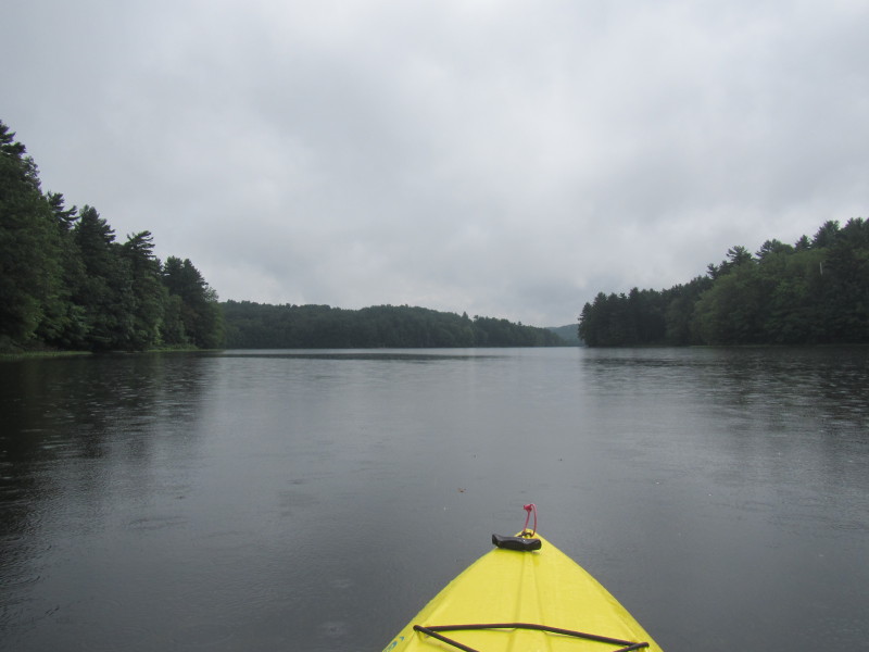
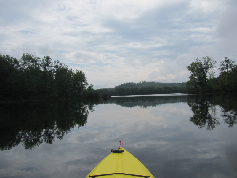
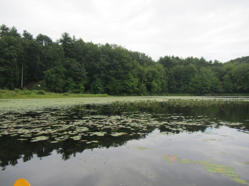
 If someone tells me this picture was taken in Vermont I will believe!
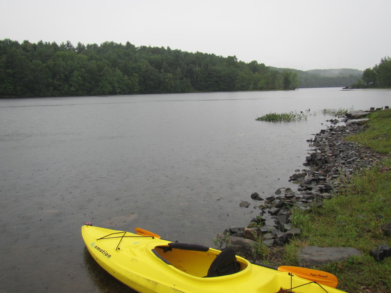
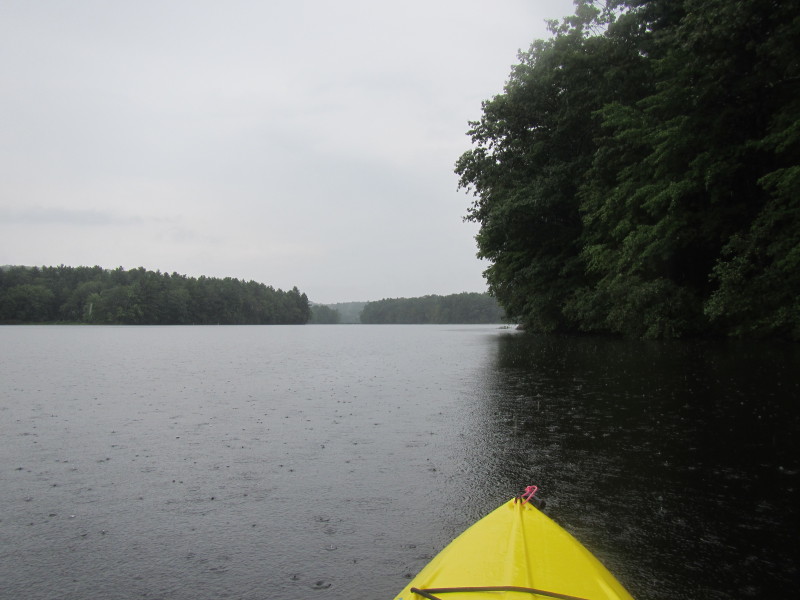
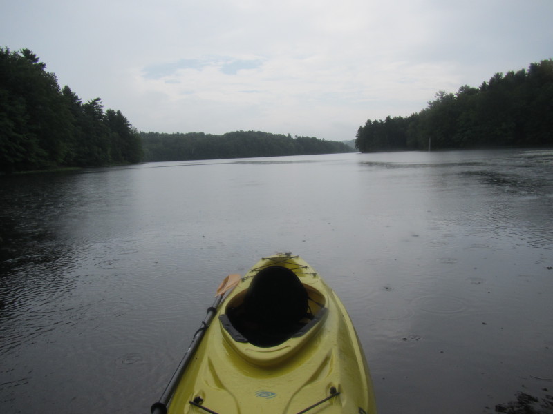
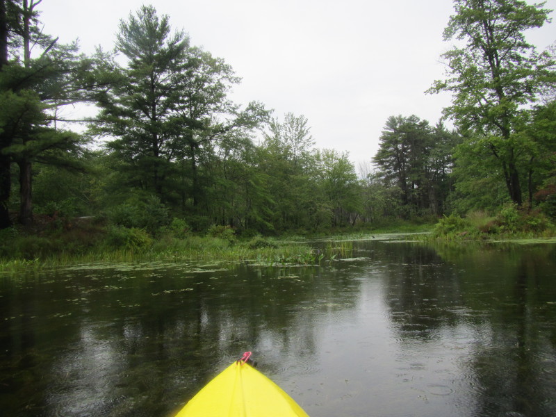
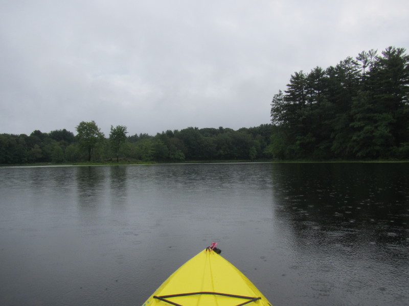
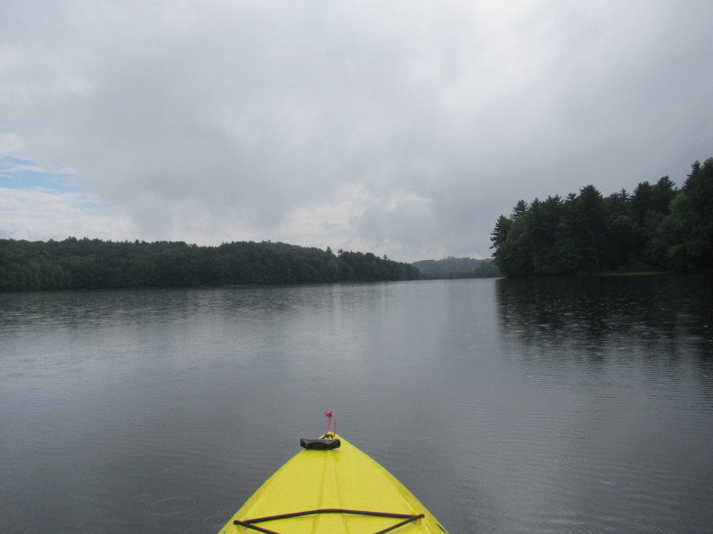
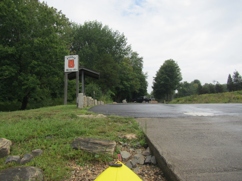
 Hi ho! Hi ho! Off to rainy Long Pond we go!
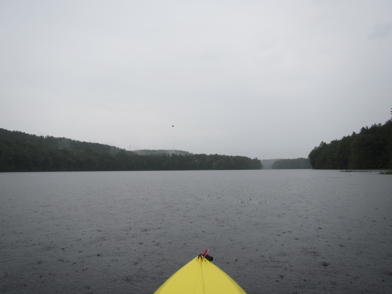
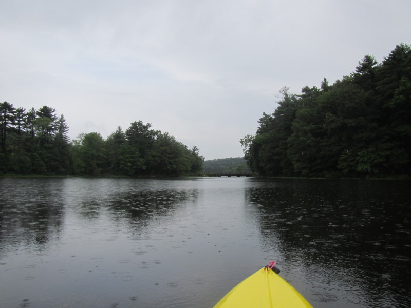
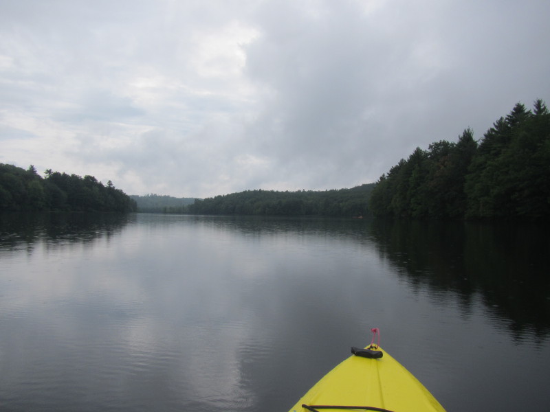
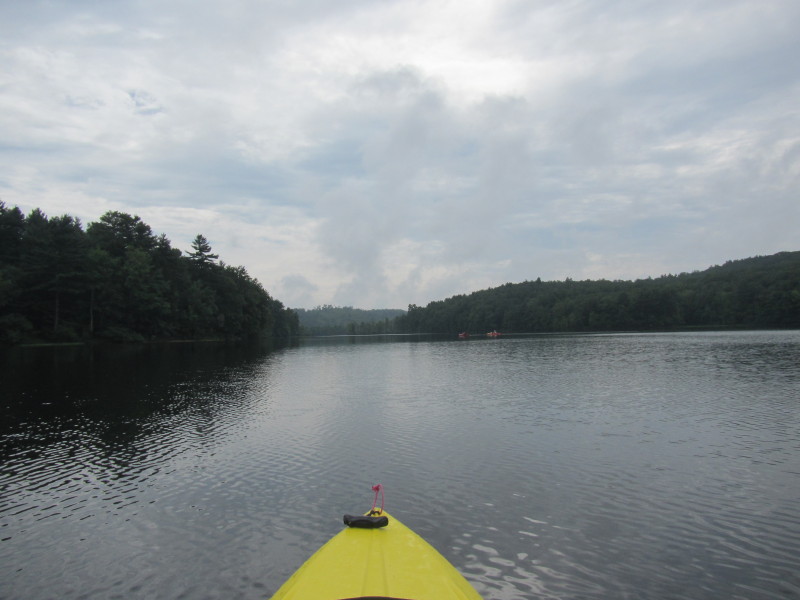
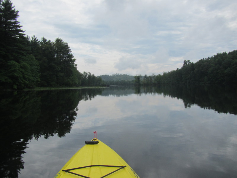
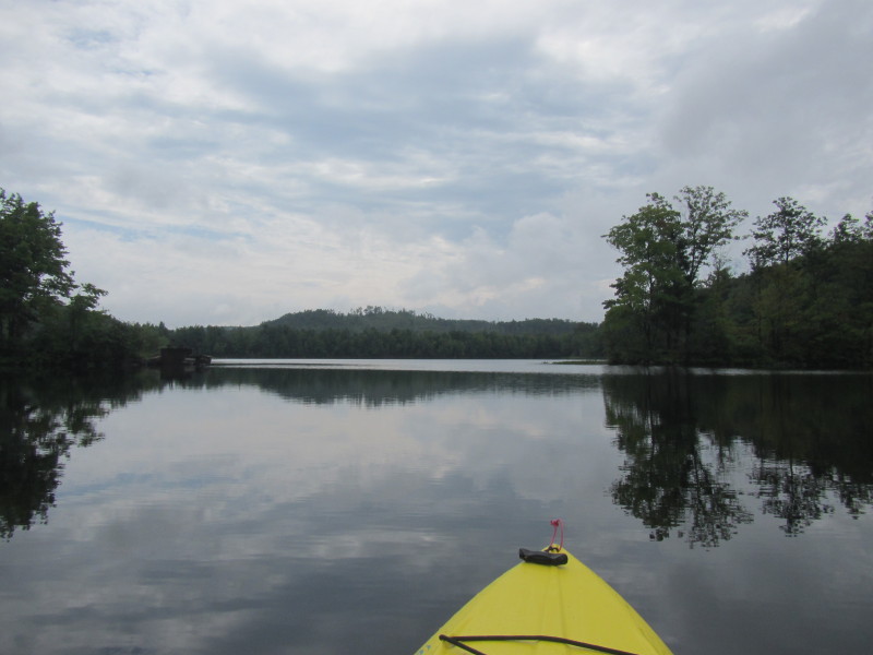
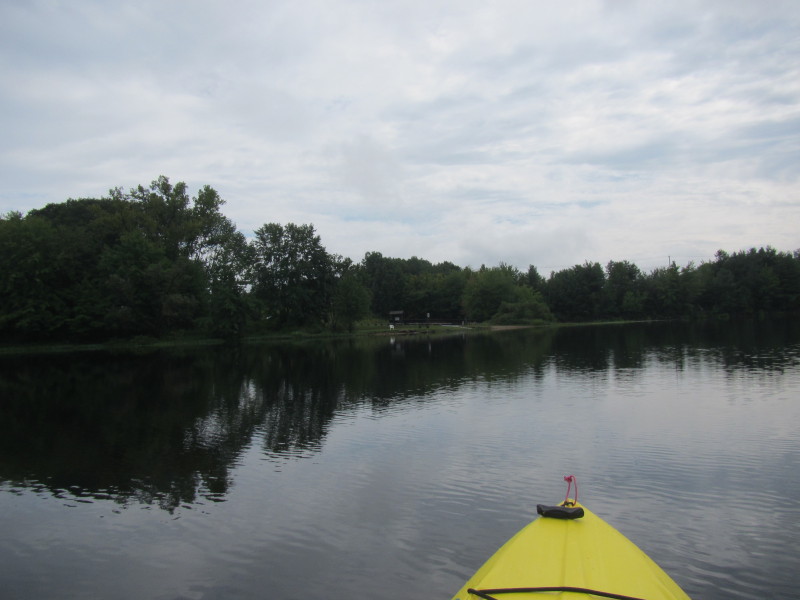
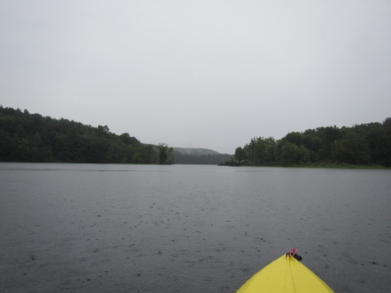 Paddling north.
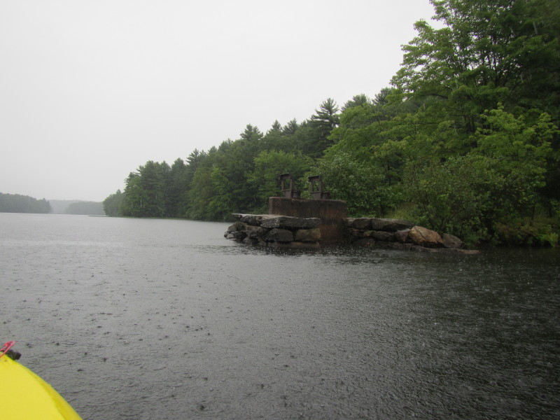
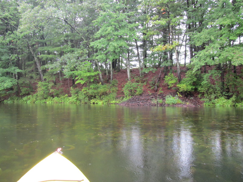
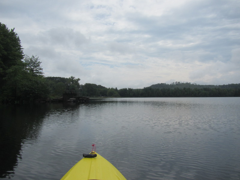
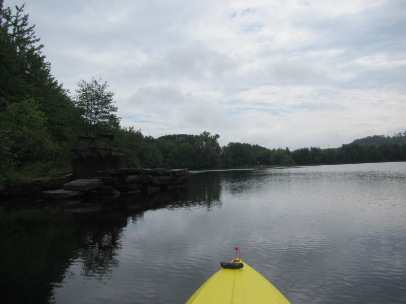
 These look like abutments of a now-gone dam.
 A duck in flight over Long Pond.
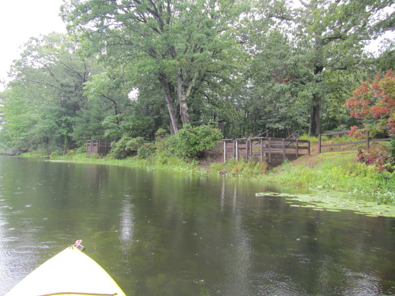
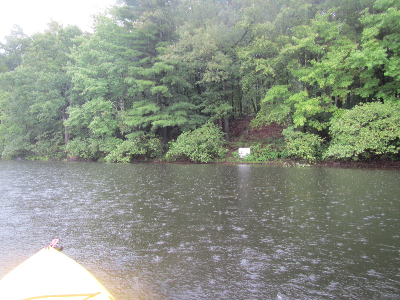 Sign on the right shore says: "3+ Acres For Sale"
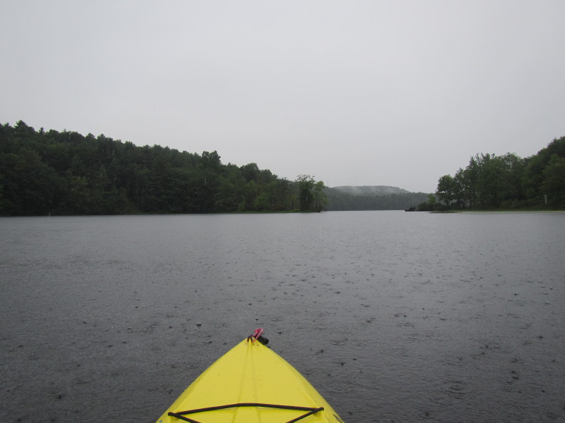
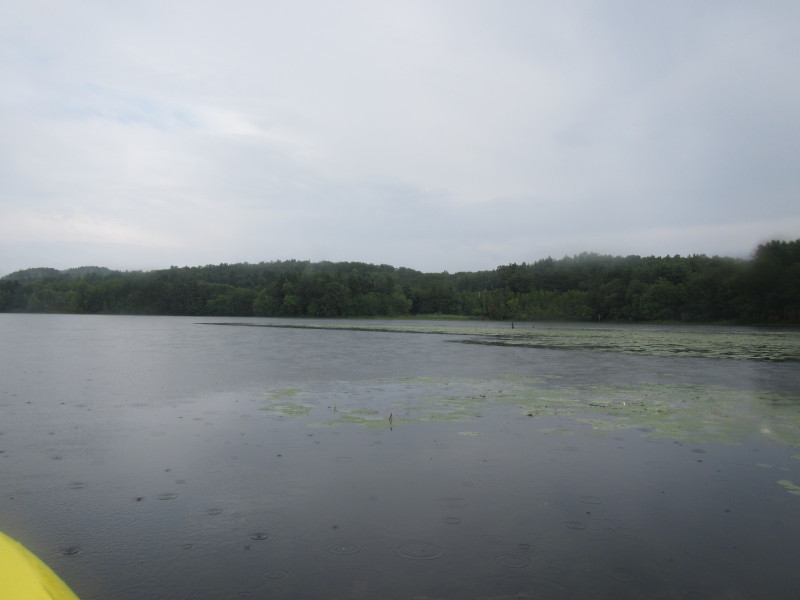
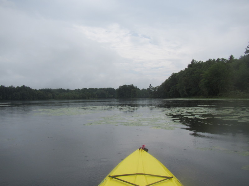
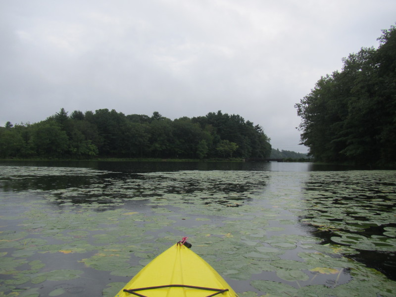
 Foggy camera lens.
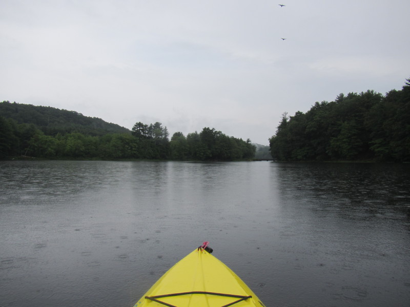 More birds flying over Long Pond.
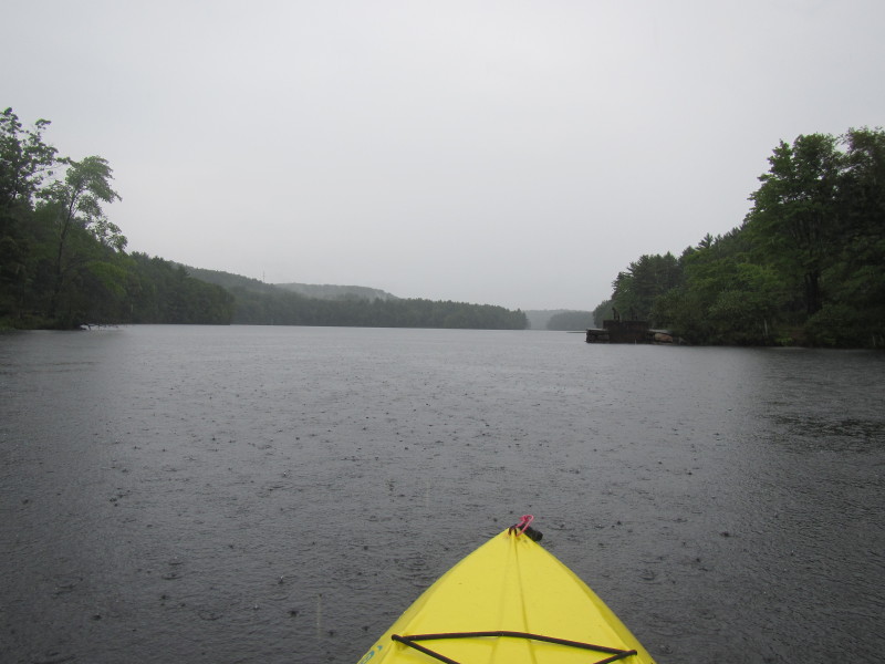
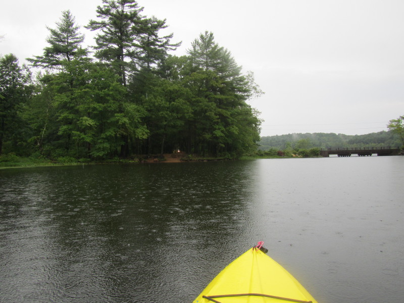
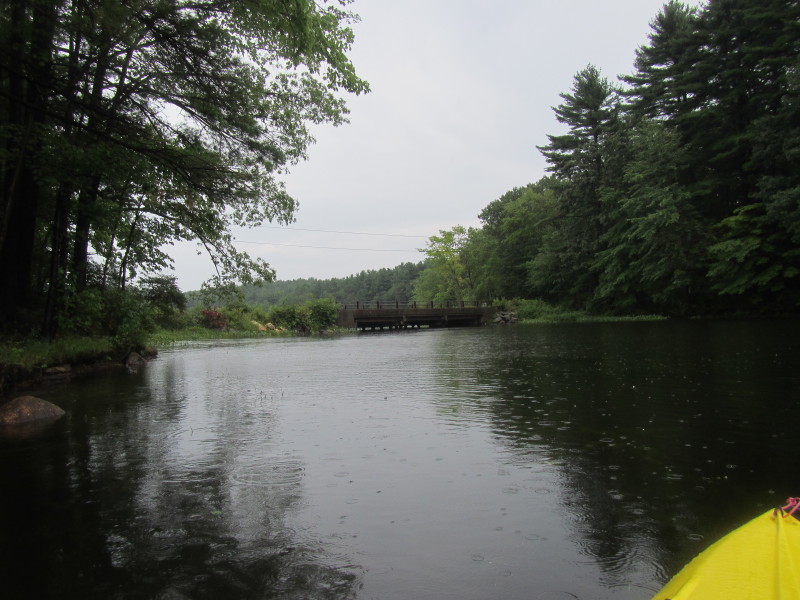
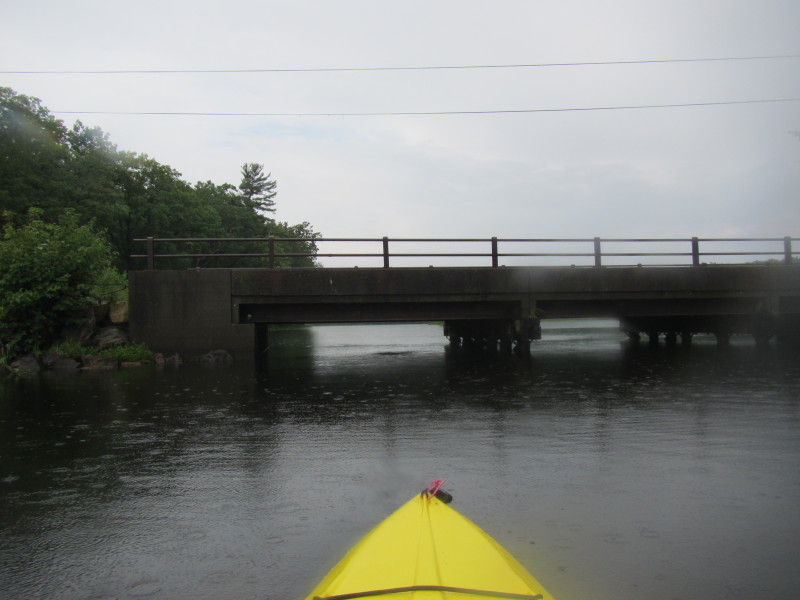
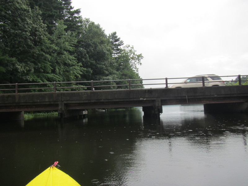
 The Champeaux Road bridge ahead.
 On the western side of this bridge is a fishing area.
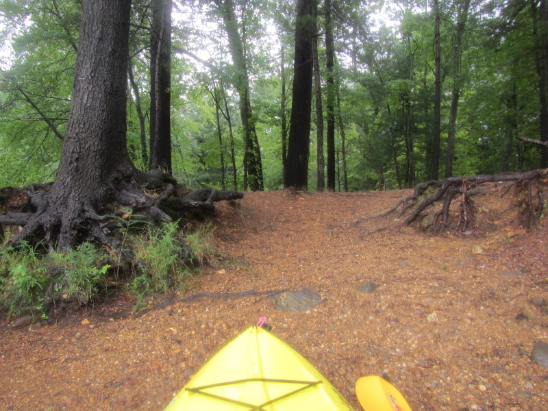 Decided to land and stretch my legs.
 I walked towards the road.
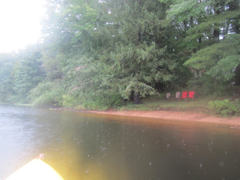
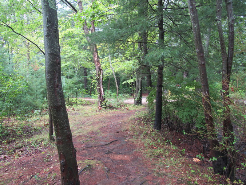
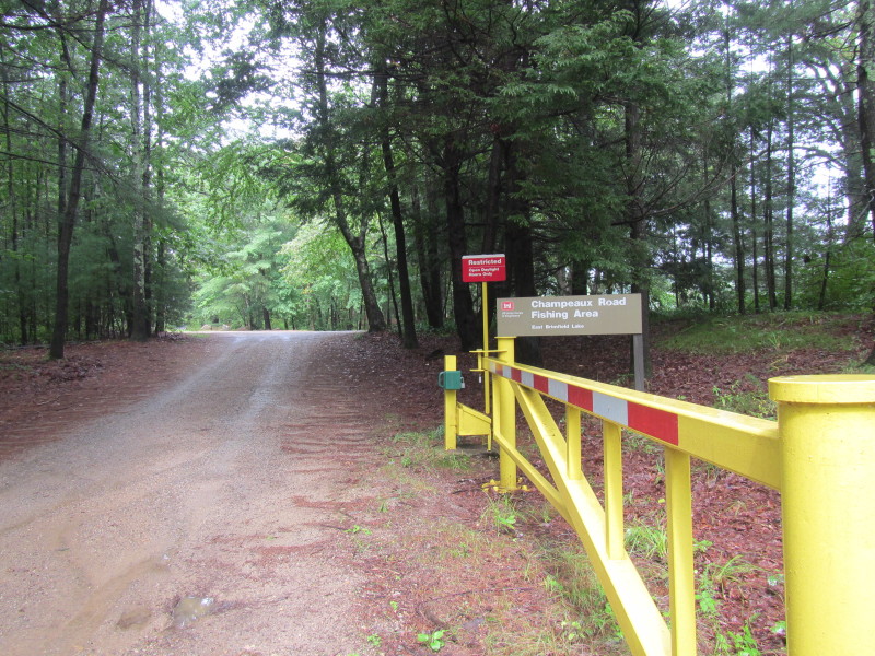 On the north side of the gated "Champeaux Road Fishing Area".
 Looking south from the fishing area.
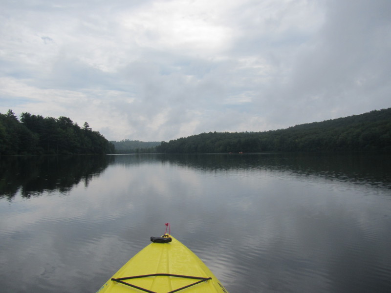
 Back on the waters of Long Pond.
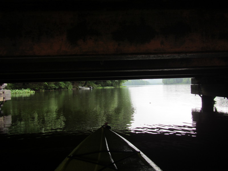
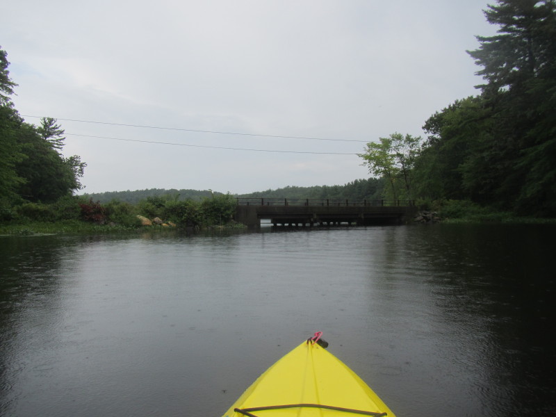 Continuing my paddle northwards, I will go under the Champeaux Road bridge.
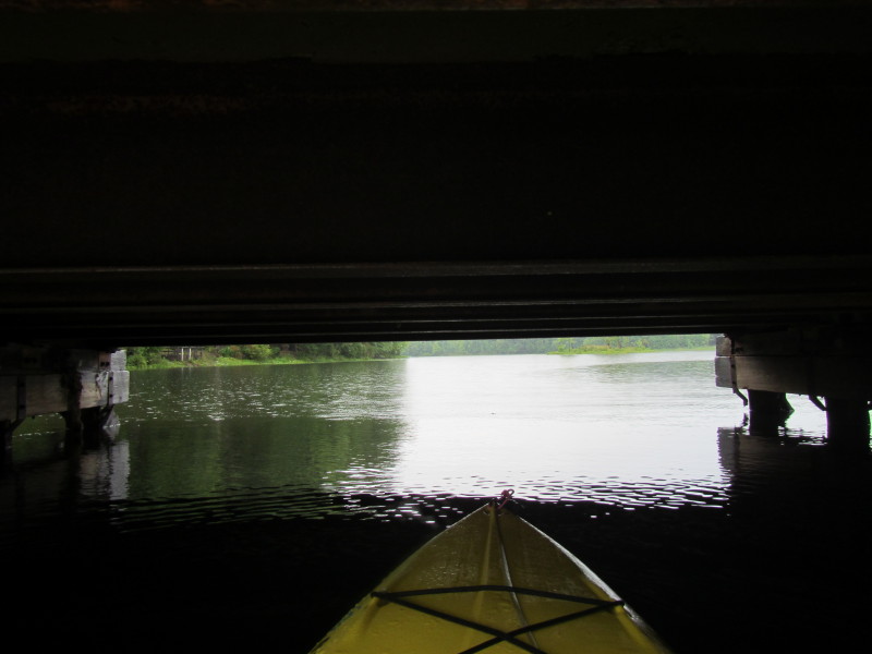
 Enough room but I have to duck my head a bit.
 The Champeaux Road fishing area on my left.
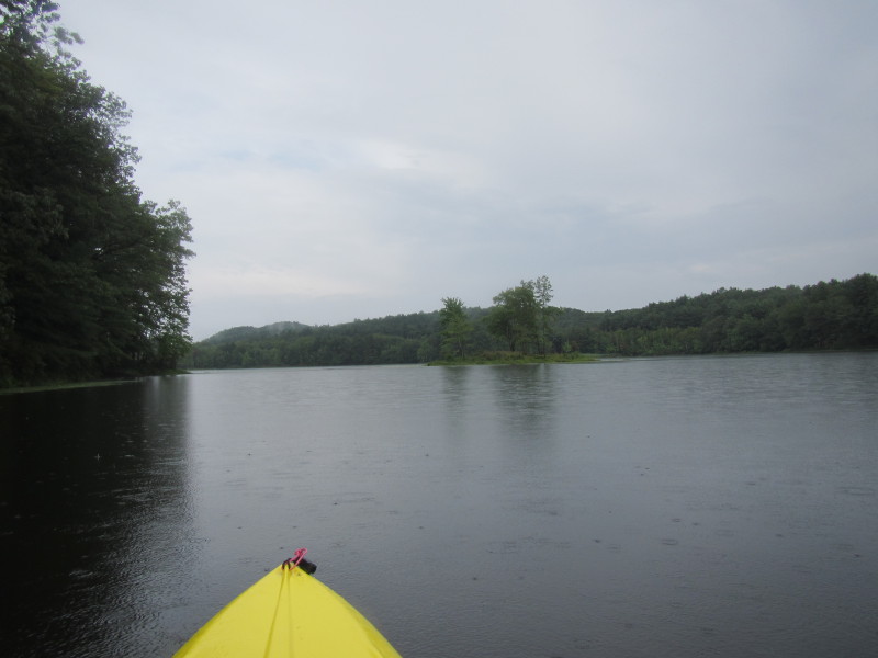 An island on Long Pond.
 I have reached the northern end of Long Pond.
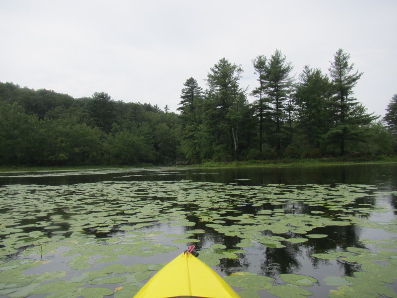
 On the west of the northern end of the pond is this unpromising cove that I did not explore.
 Just turned around and now facing south.
 Paddling south back to the ramp where I launched.
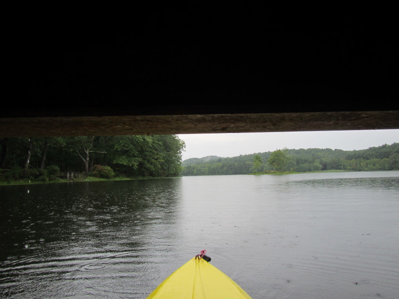
 Going under Champeaux Road bridge again on my way back southwards.
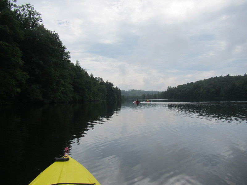
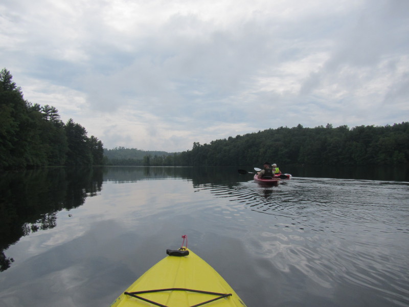
 A couple of kayakers on Long Pond in the right side of the picture.
 The abutments.
 Landed safely back.
One hour and twenty-minutes on the water of Long Pond. |