 Kayaker

|


|
Download printer-friendly
PDF version that fits in one page: |

|
|
Other resources:
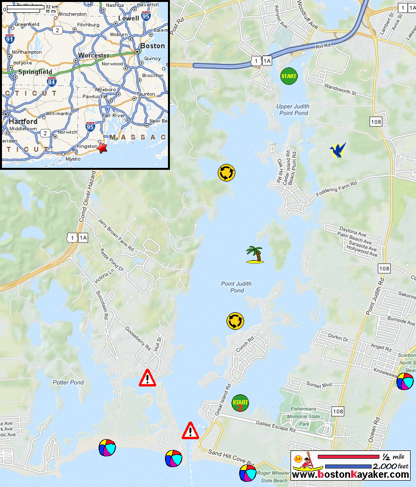
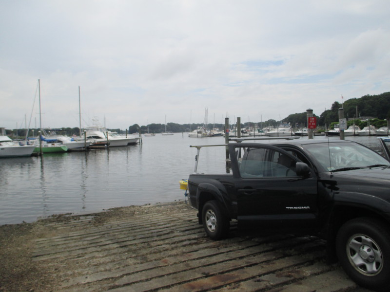
Explore RI's Blueways and Greenways: Point Judith Paddling Guide (pdf) Explore RI's Blueways and Greenways: Point Judith Paddling Guide (cached copy) Explore RI's Blueways and Greenways: Marina Park Explore RI's Blueways and Greenways: Galilee Boat Launch All photos in this website are original and copyrighted. 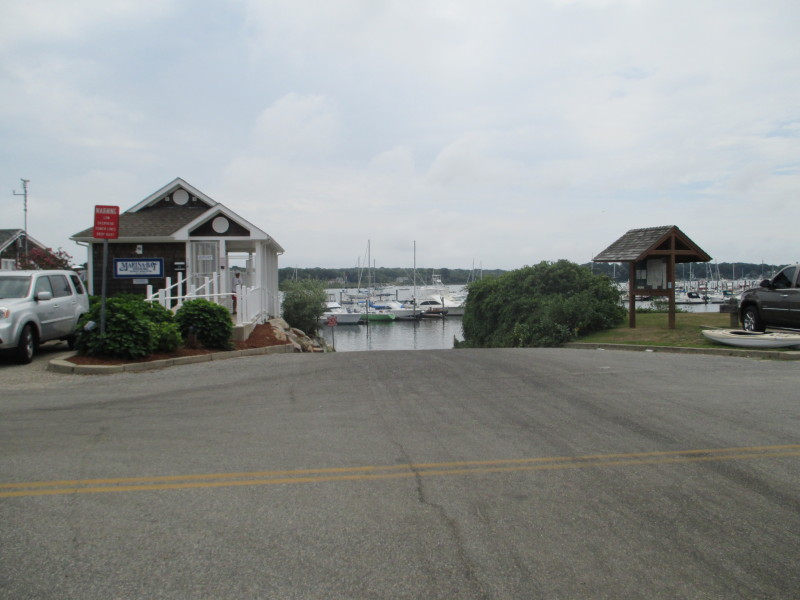 At the town ramp to Point Judith Pond on Salt Pond Road in South Kingston RI.
Trip date is July 2016. 
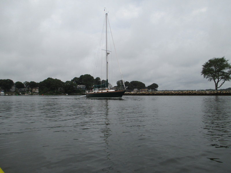
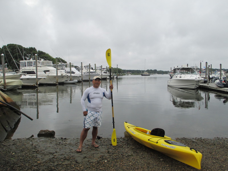 The Boston Kayaker on Point Judith Pond in South Kingston RI.
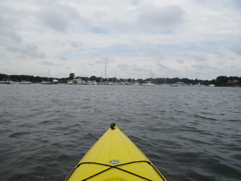
 The Boston Kayaker just launched on Point Judith Pond.
 It is very cloudy.
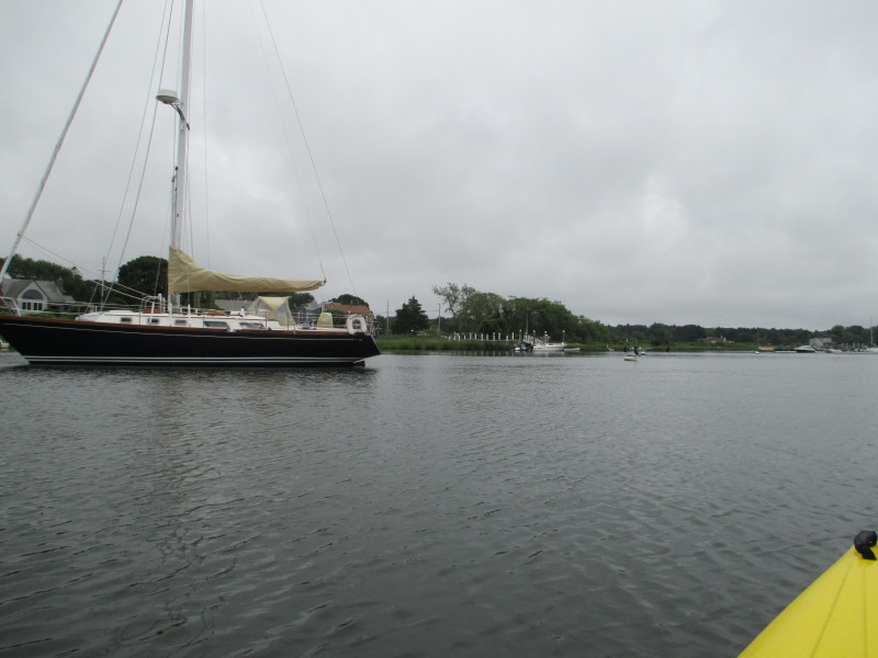
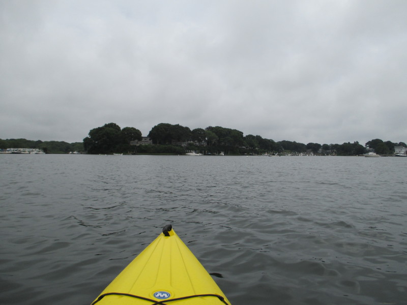
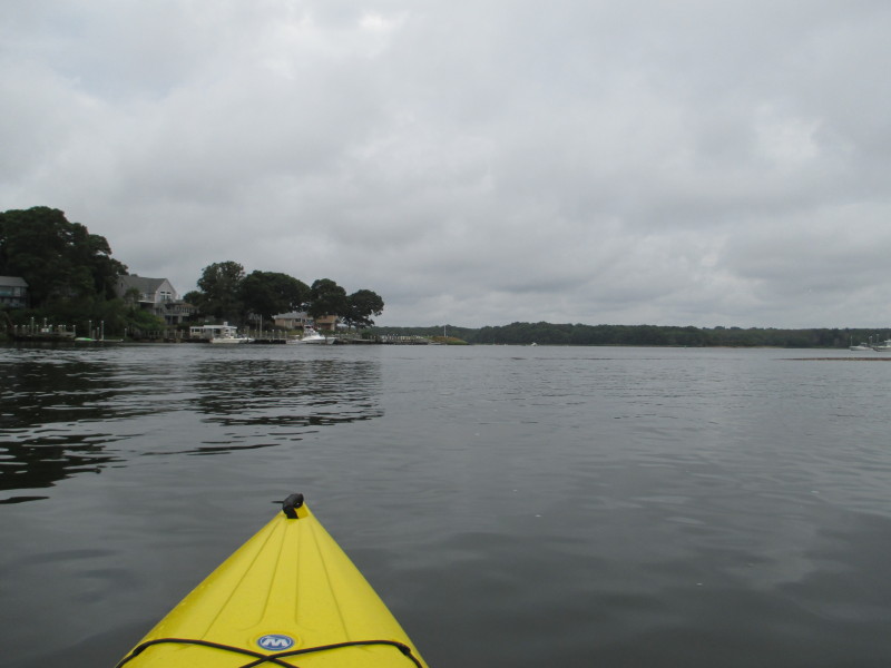
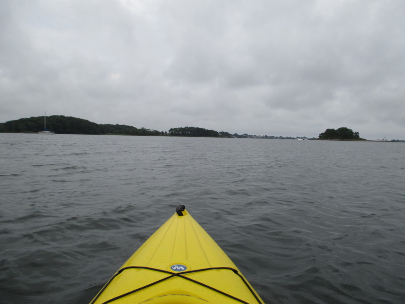
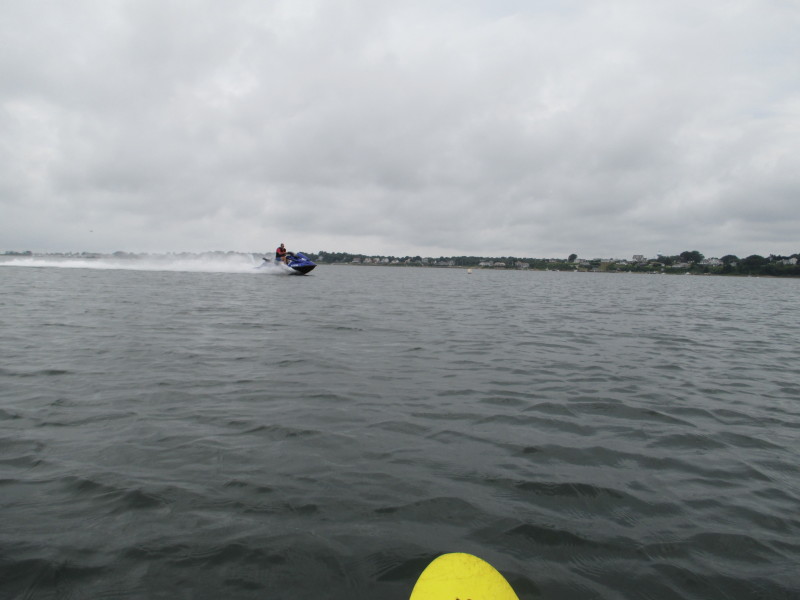
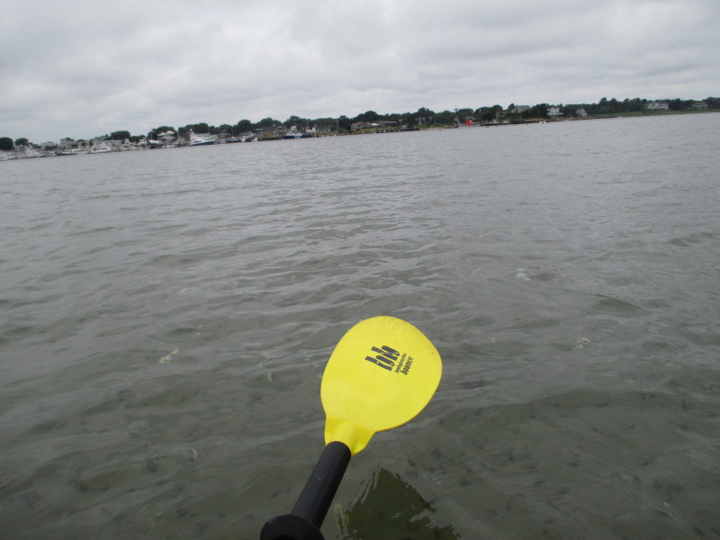
 With the odd shape of the shores of Point Judith Pond, my usual follow-the-coastline circumnavigation will not work here . . .
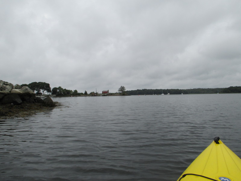
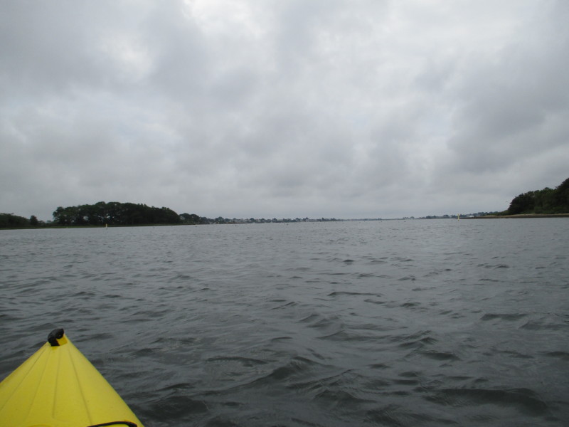
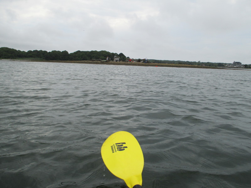
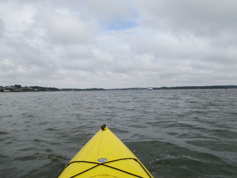
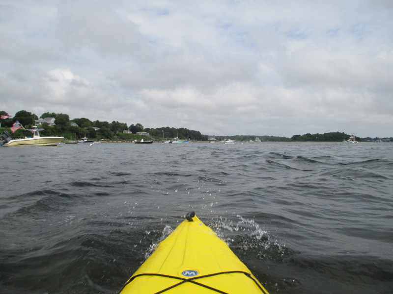
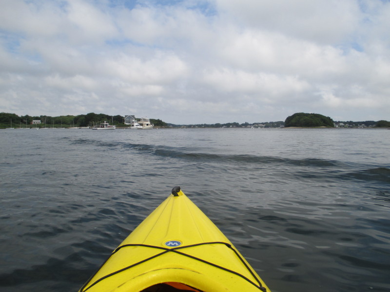
 Towards the center of the picture is the channel out of the launch cove.
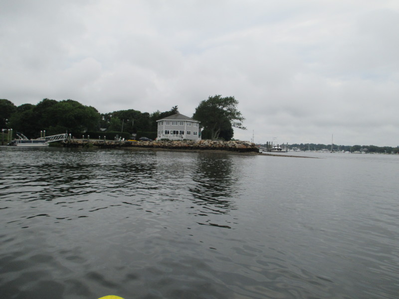
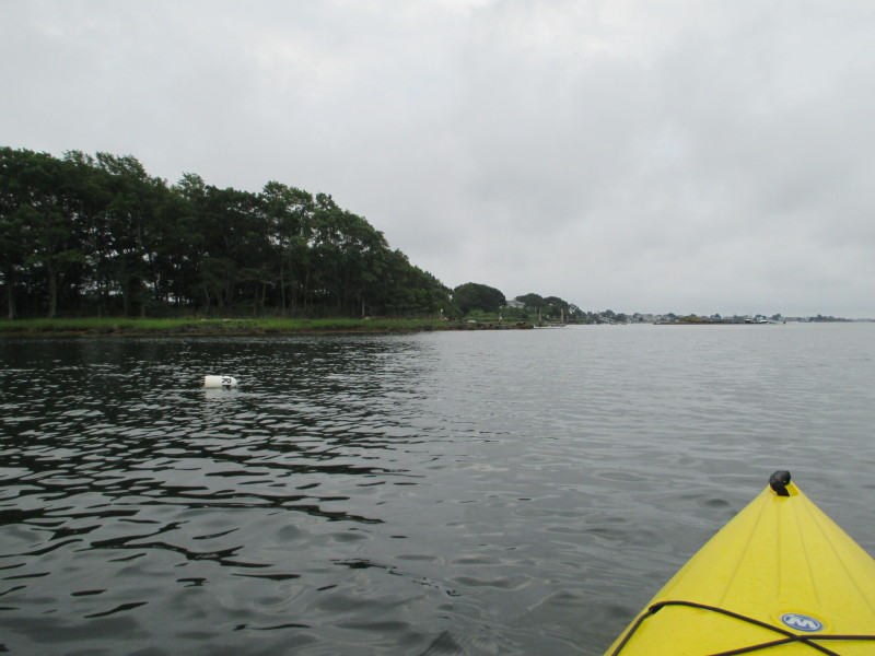
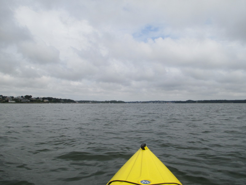
 This peninsula on right separates the launch cove.
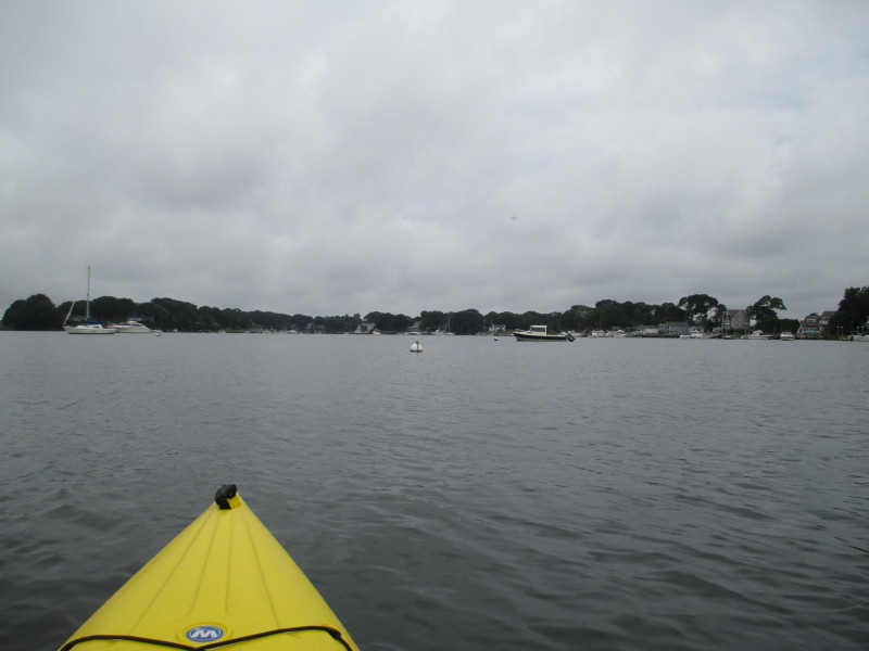
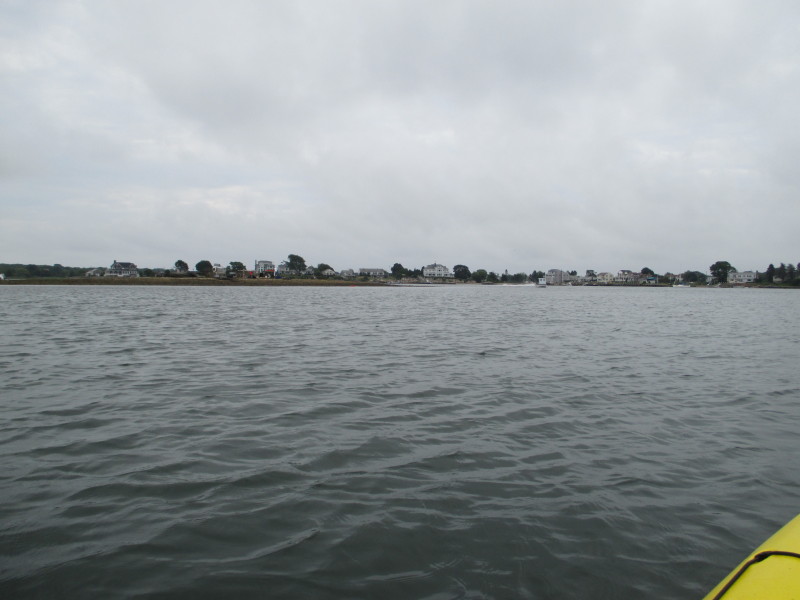
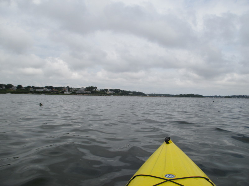
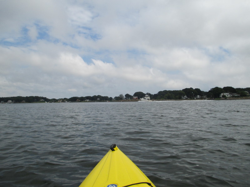
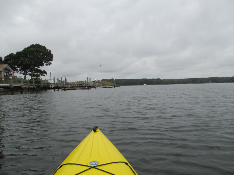 Out of the launch cove, continuing my southerly direction.
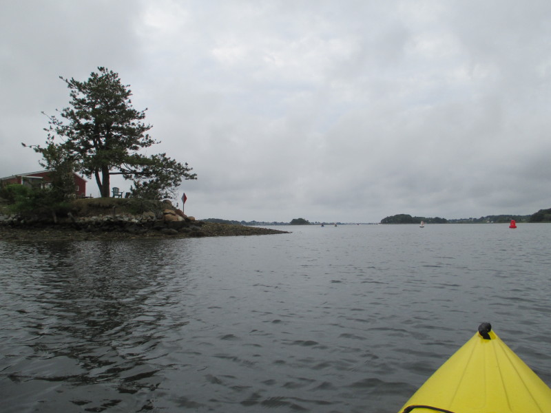
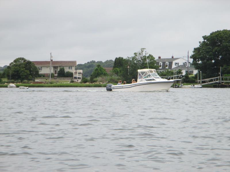
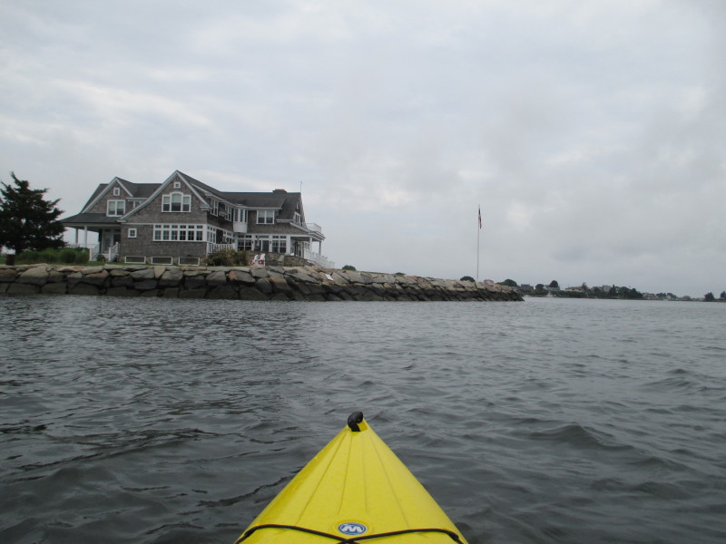
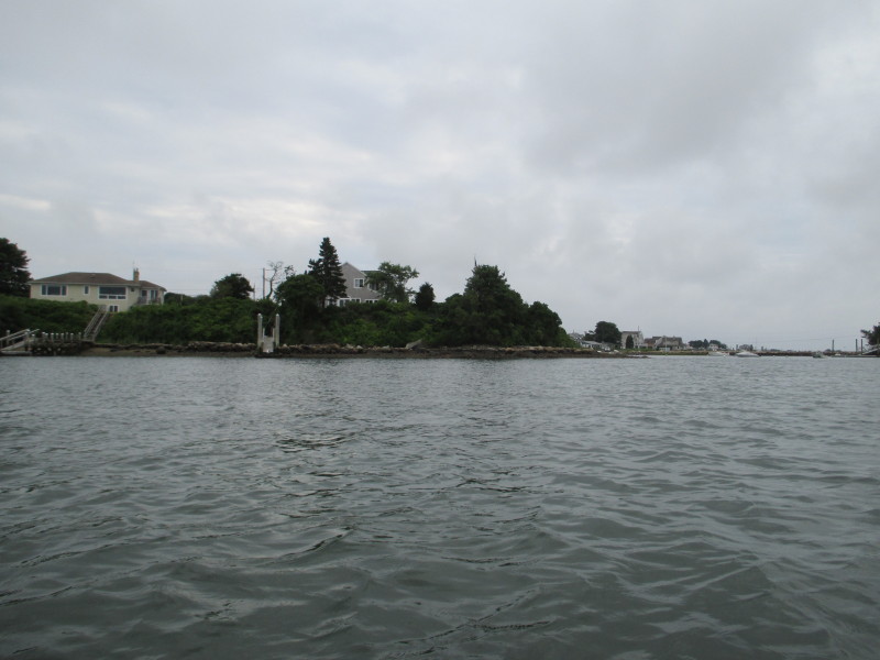
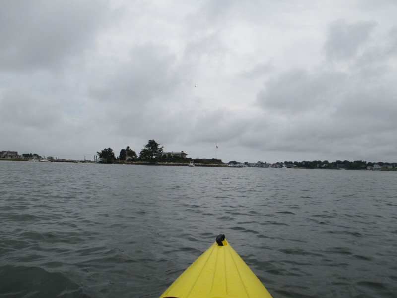
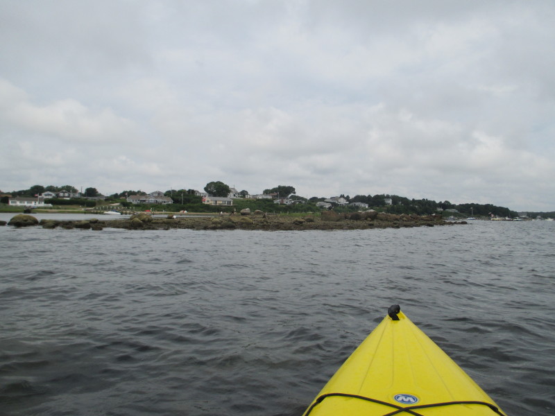
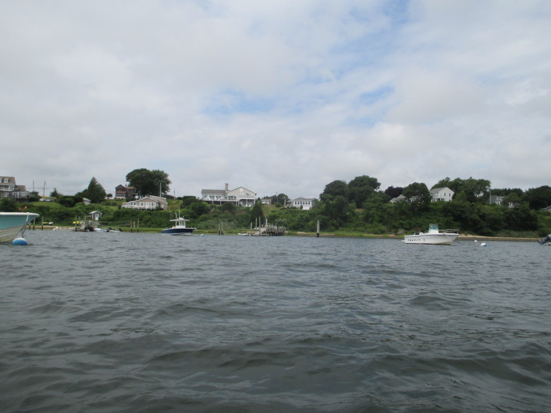
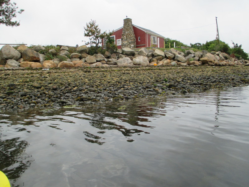 The house at Pine Tree Point.
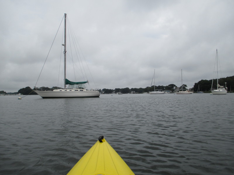
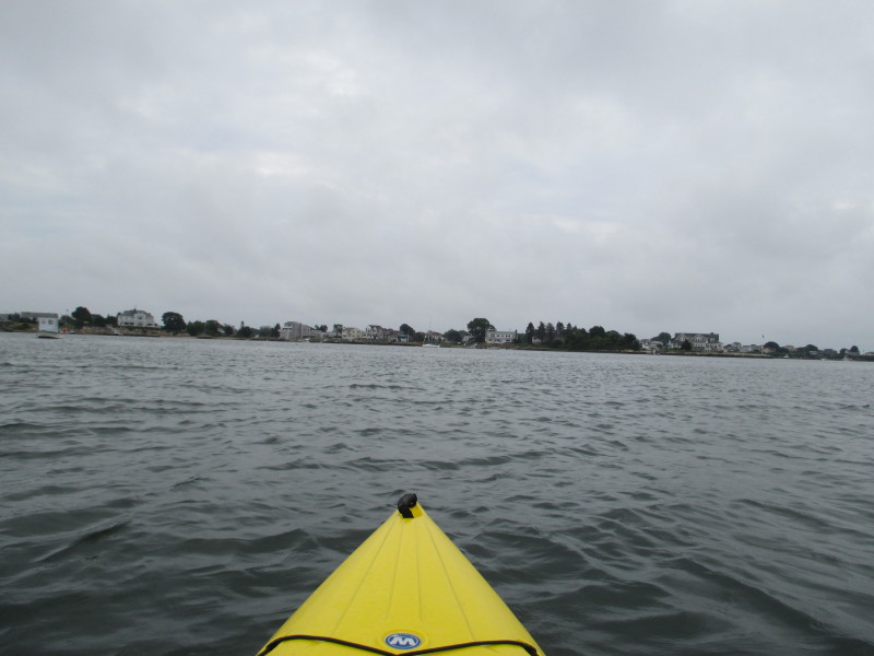
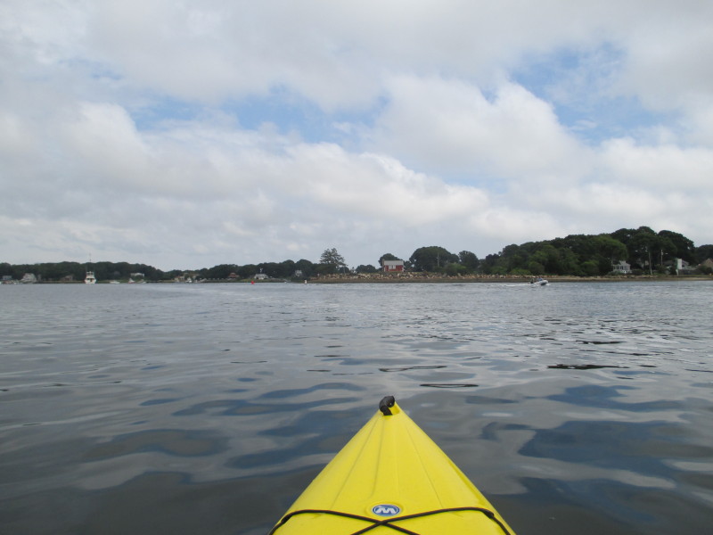
 Now out of the launch cove (Upper Judith Point Pond).
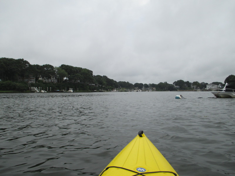
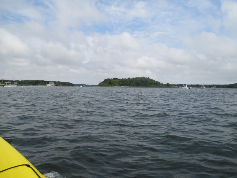
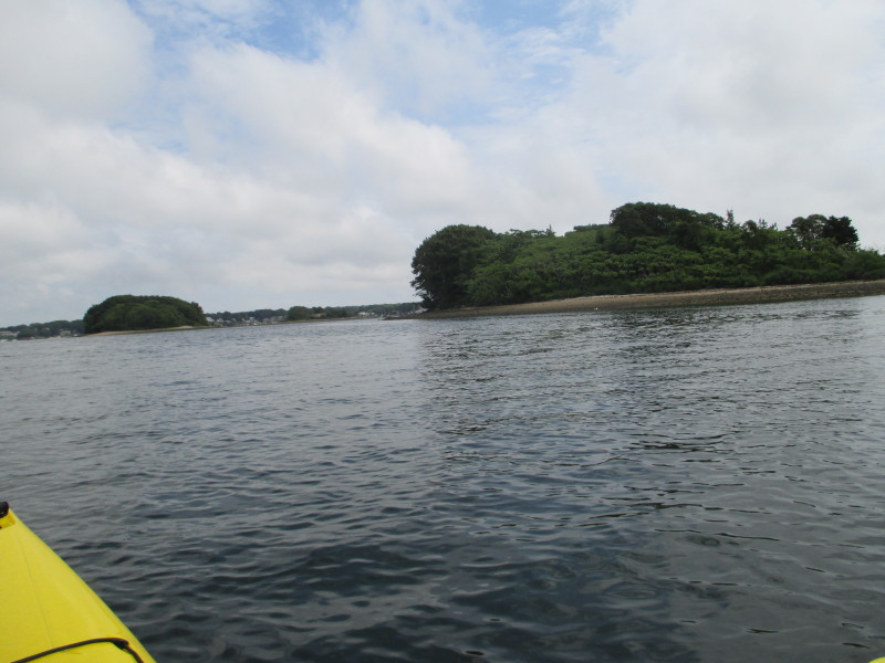
 To my left.
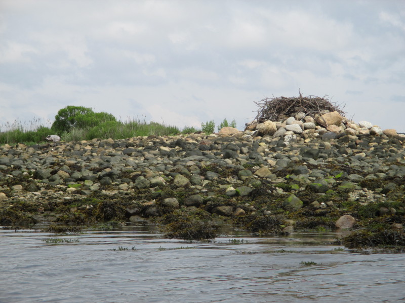
 Shell fishermen on the island.
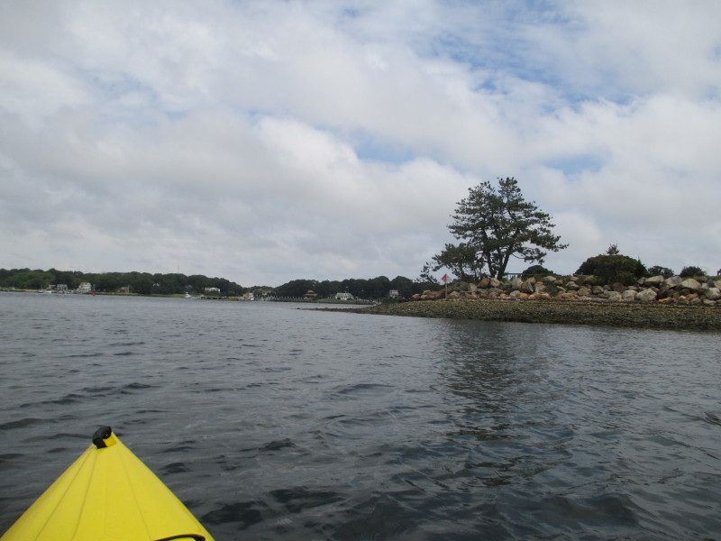
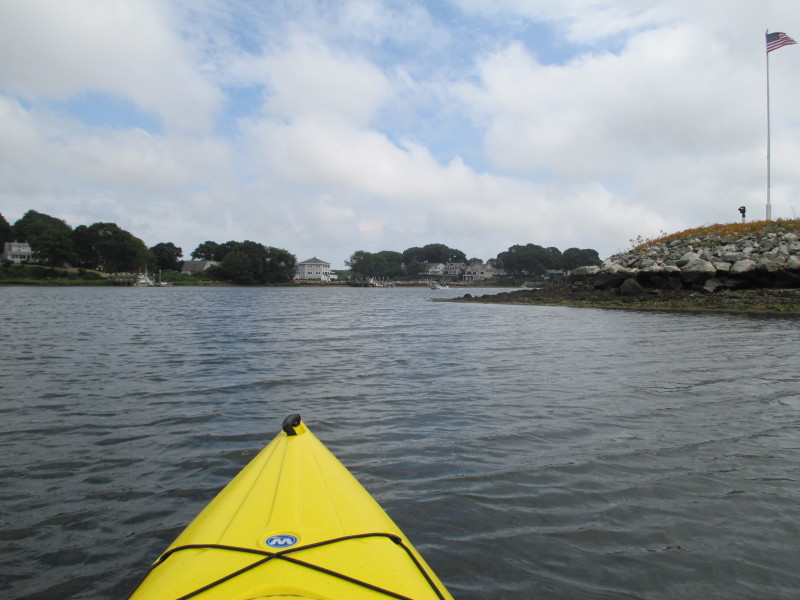
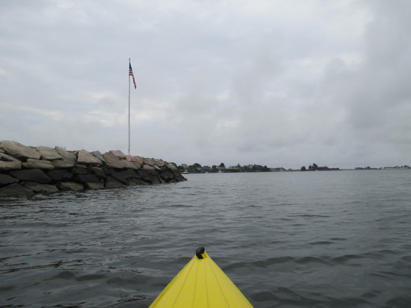 The flagpole at Thomas Point on Point Judith Pond.
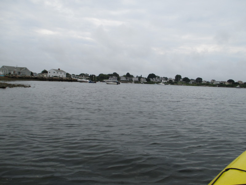
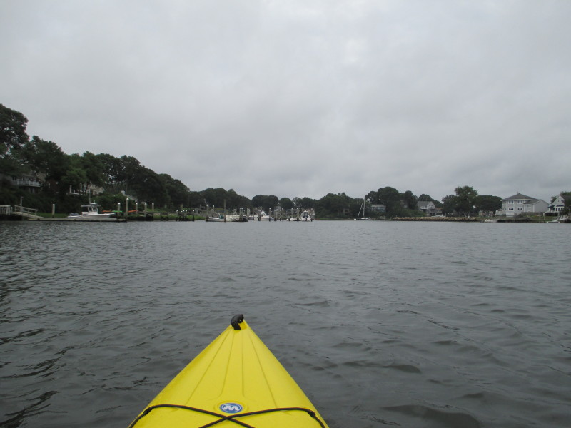
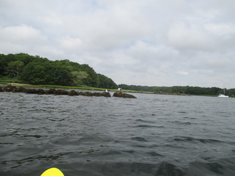
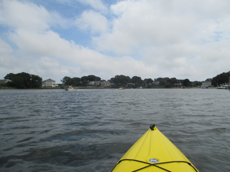
 To my left is the Great Island Road bridge.
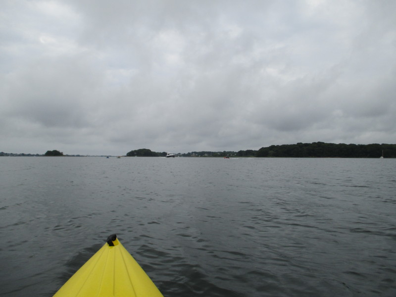
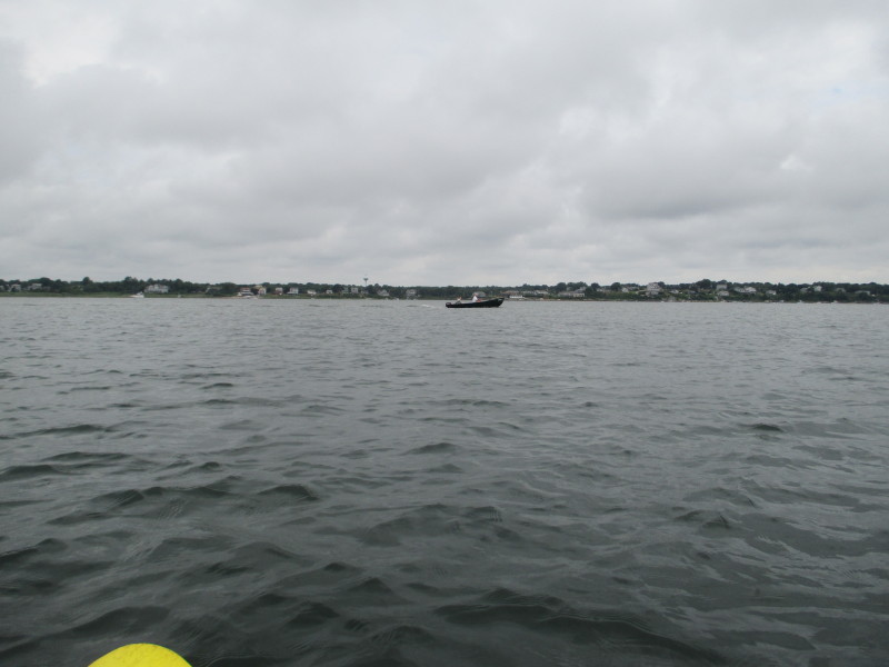
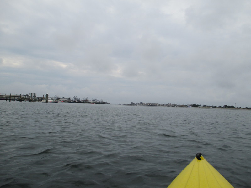
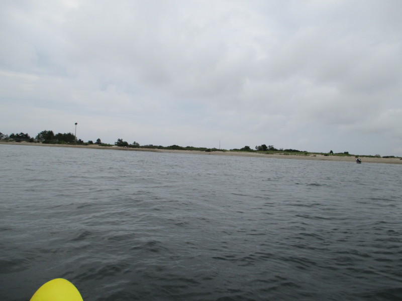
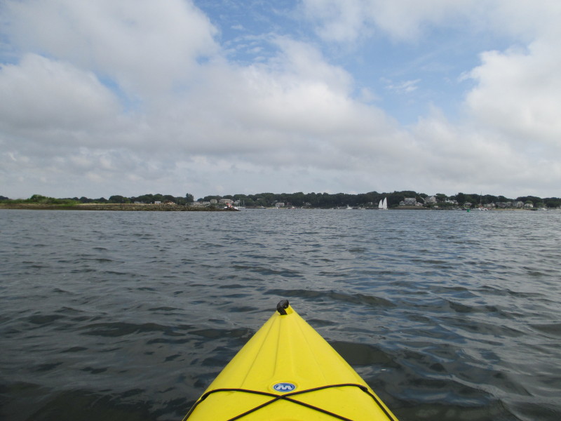
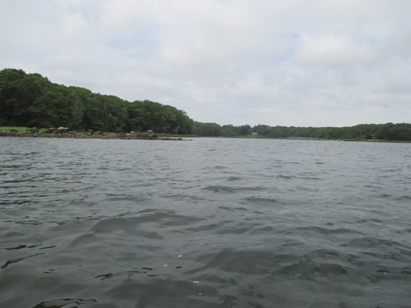
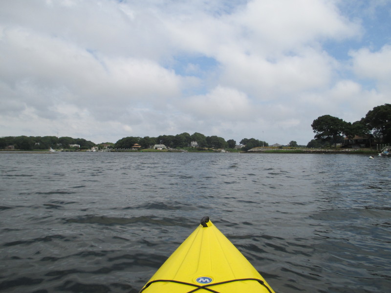
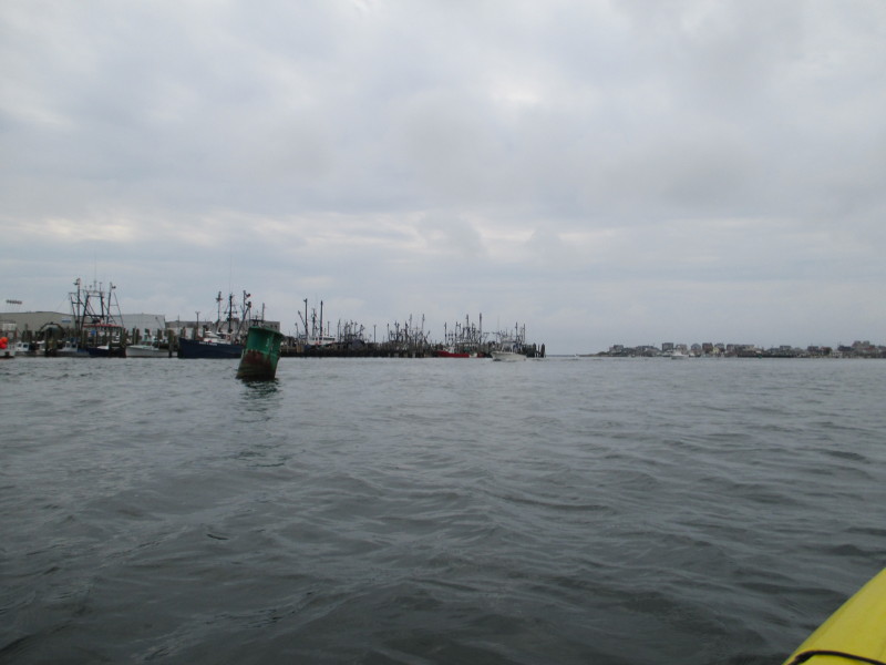 At the center of the right half of the picture is the channel to exit out of Point Judith Pond to the Atlantic Ocean.
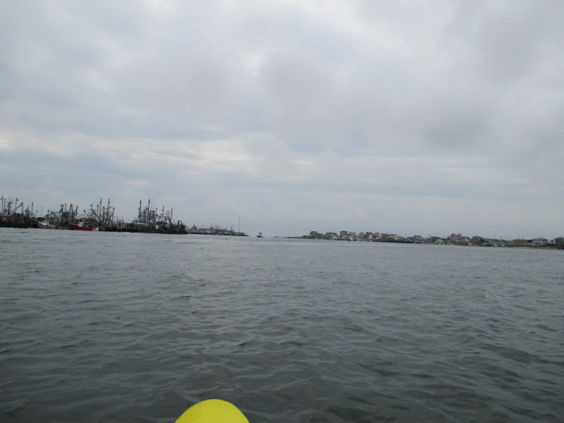 I decided this as far south as I will go and pivoted to my right.
 Paddling westwards.
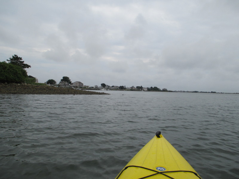
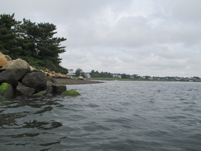
 Now close to the western shore, the beaches off Succotash Road.
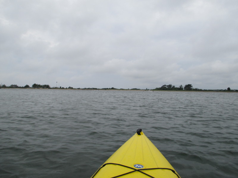
 Another right pivot to turn northwards.
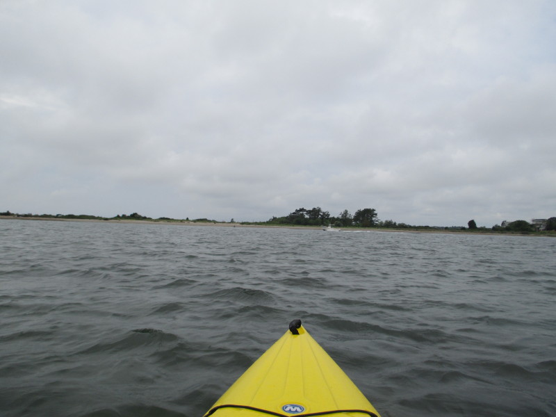
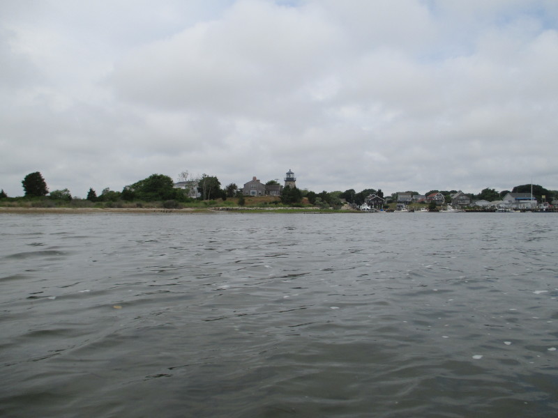 This lighthouse marks the entrance to Snug Harbor.
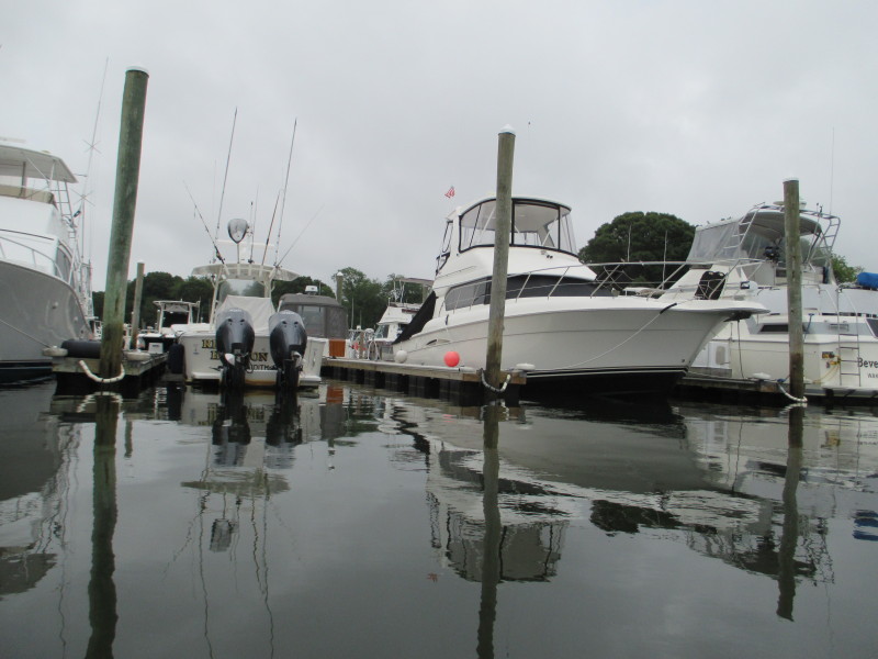
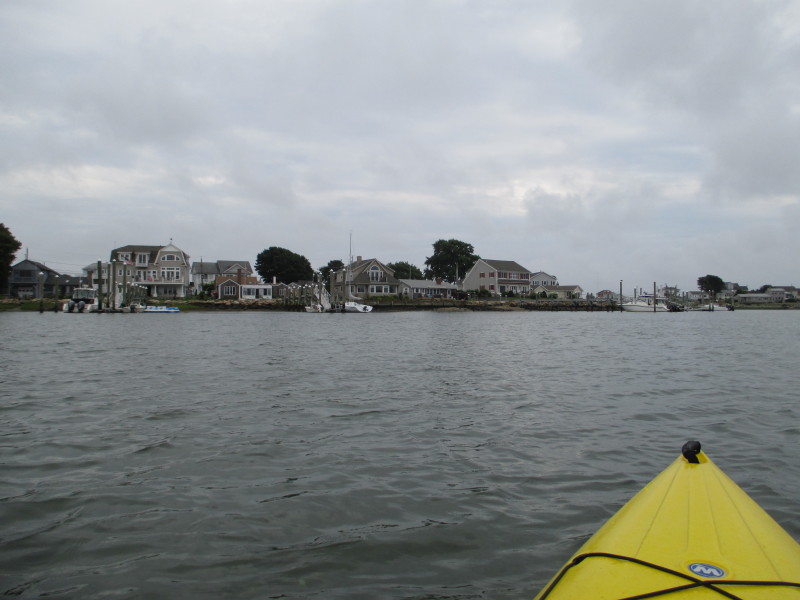
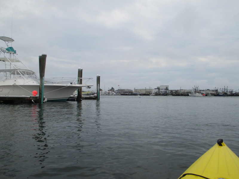
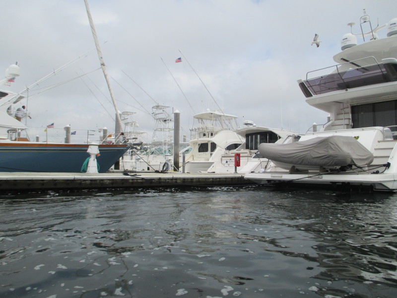
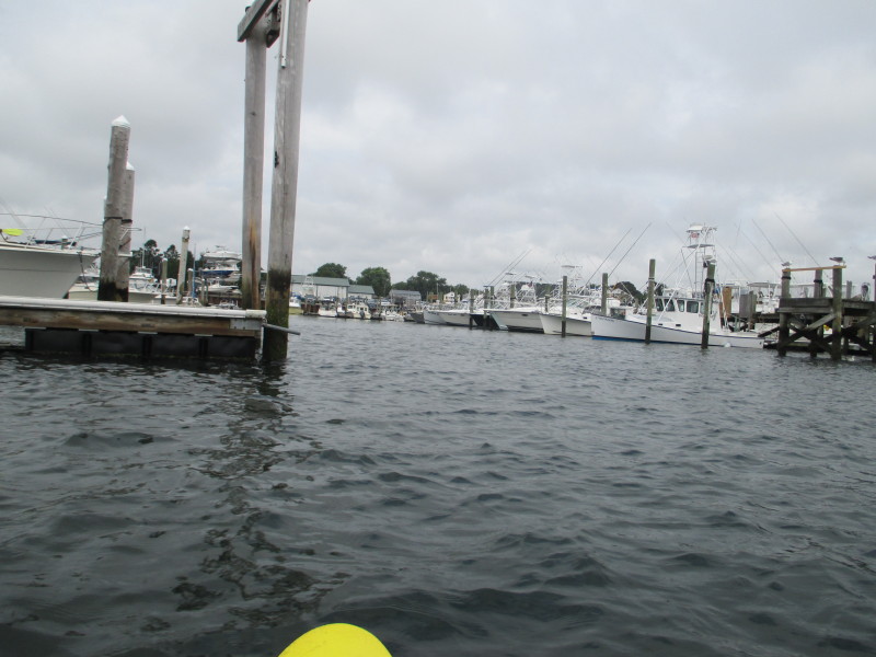
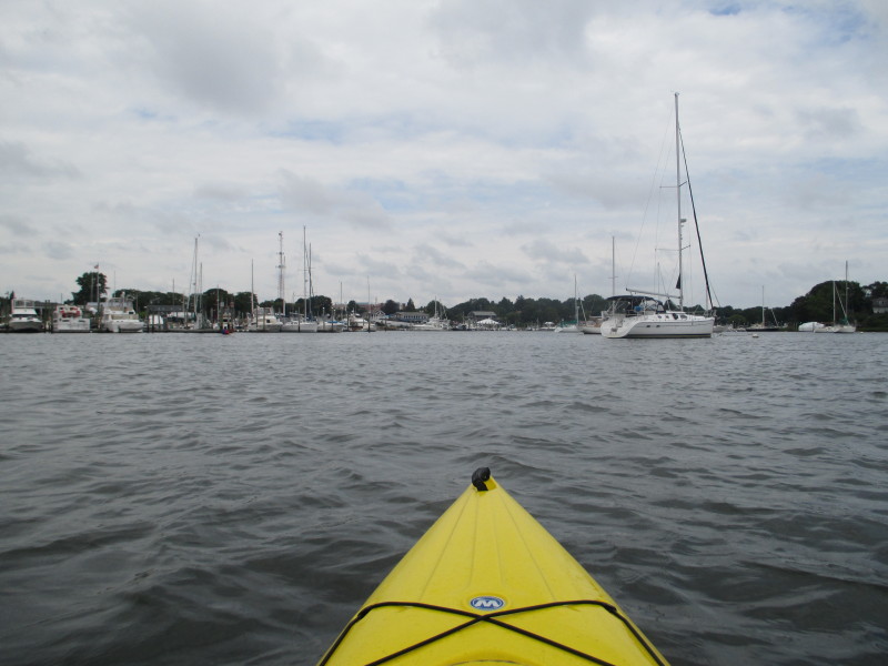
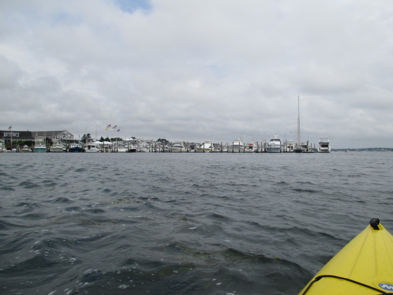 The marina at Snug Harbor.
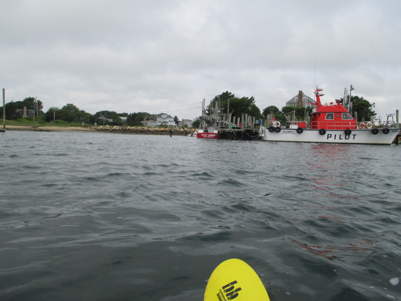
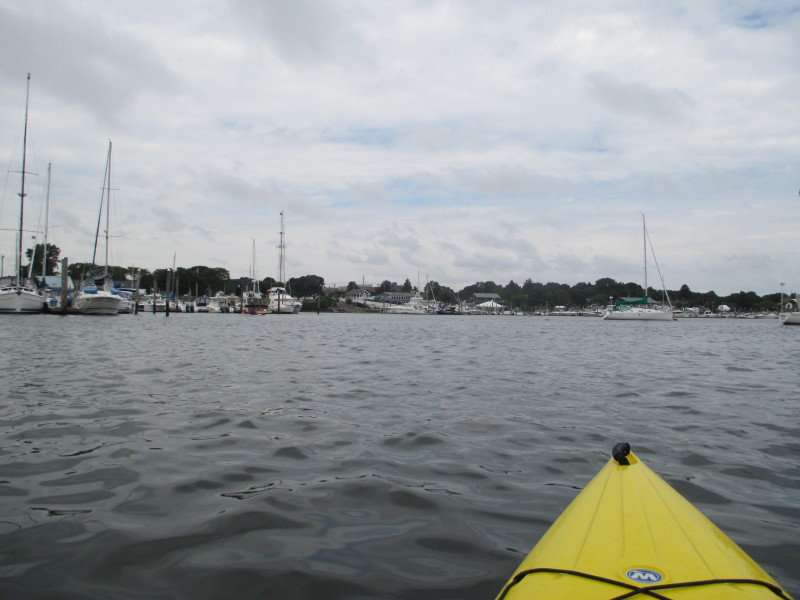
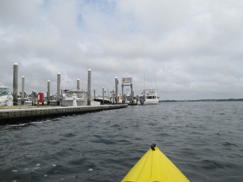 Gasoline stations on Point Judith Pond at Snug Harbor.
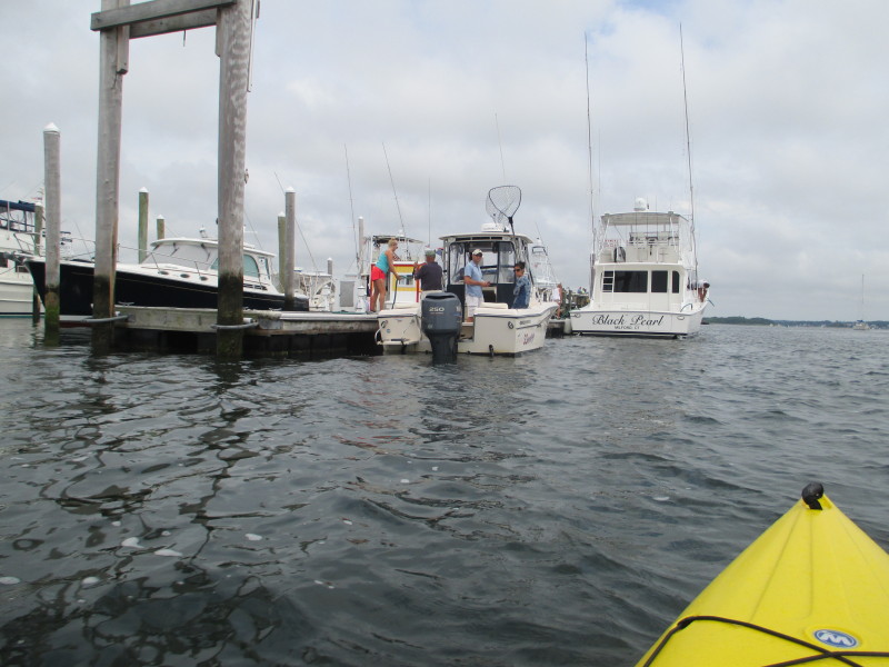
 Loading up on gas.
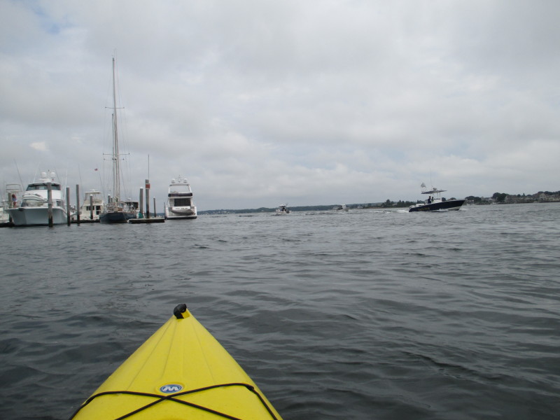
 More parked boats on my left.
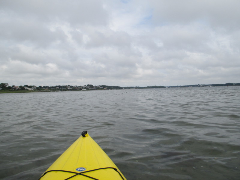
 Continuing my northwards paddle with the western shore on my left.
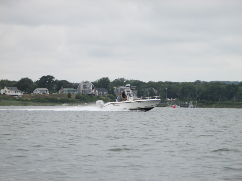
 Wake from the boats.
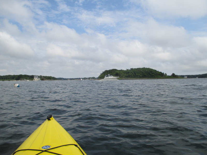
 The islands on my right.
 Pivoted to my right and will paddle across to the other side (east side).
 Now on the east shore, the Pine Tree Point I passed earlier on my right.
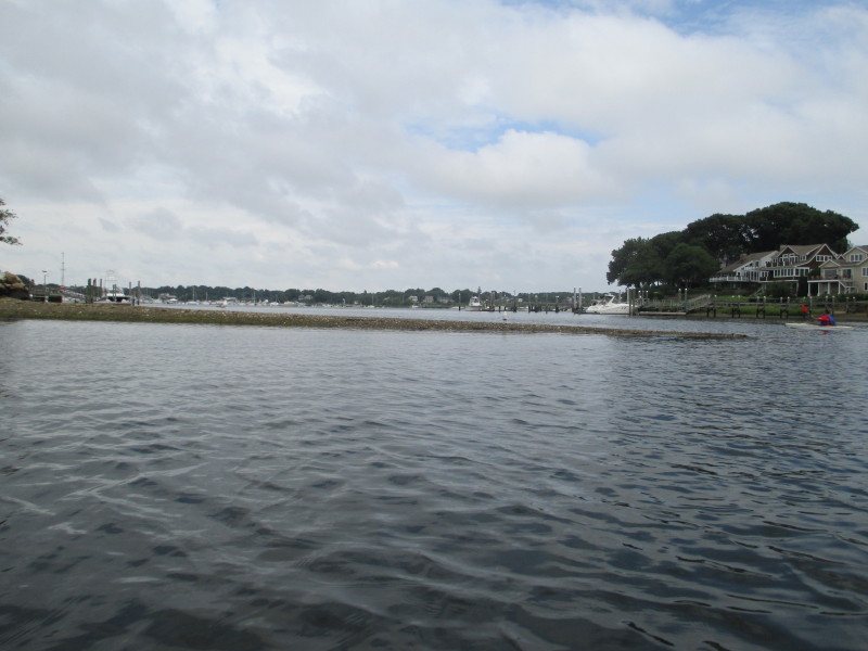
 Just entered the launch cove (Upper Point Judith Pond).
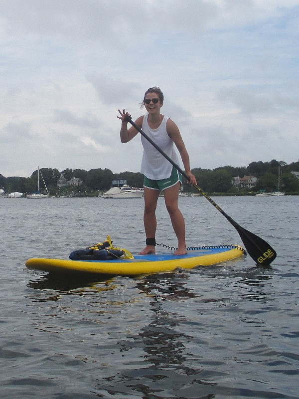
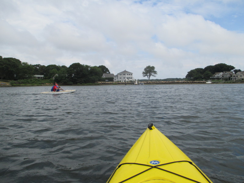 Another kayaker on Point Judith Pond.
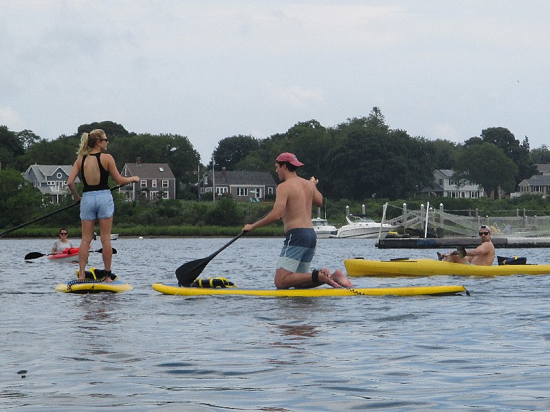 Stand-up paddlers.
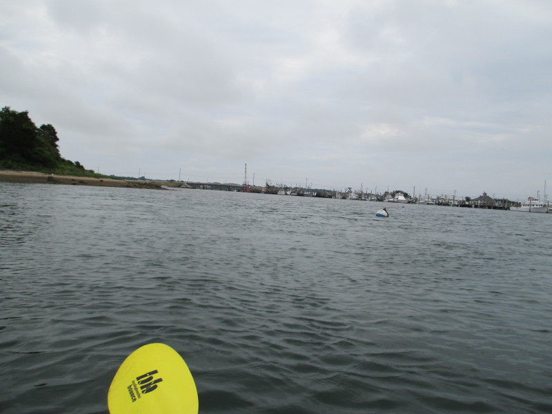
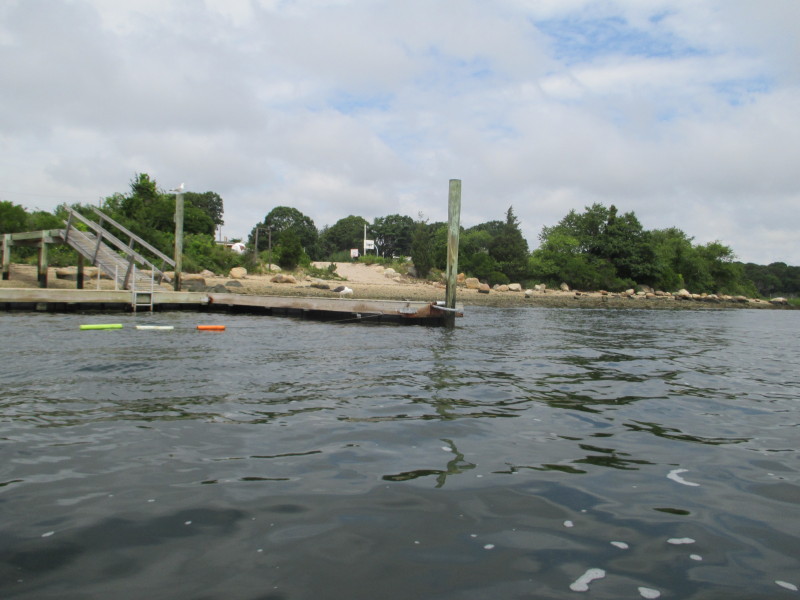
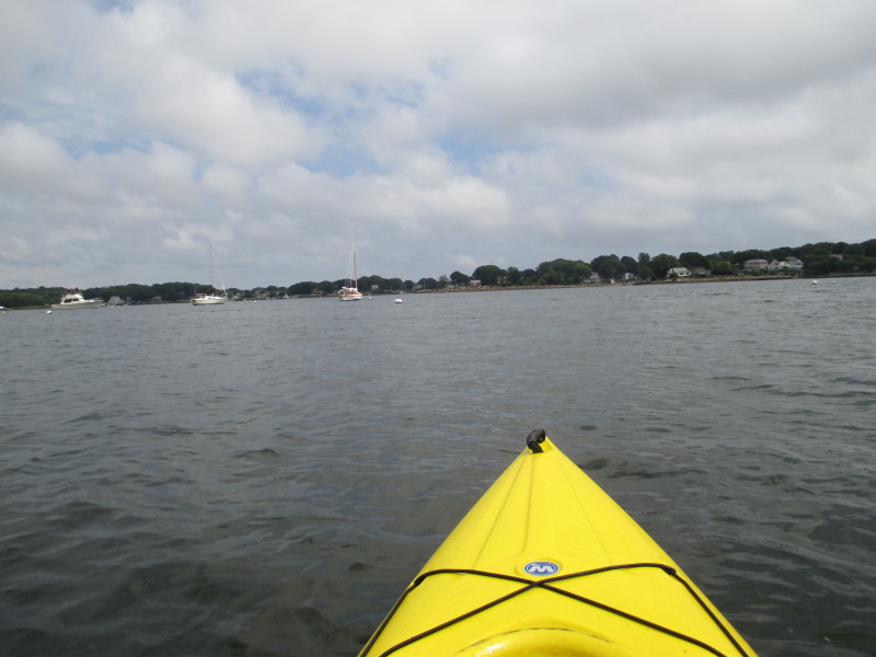
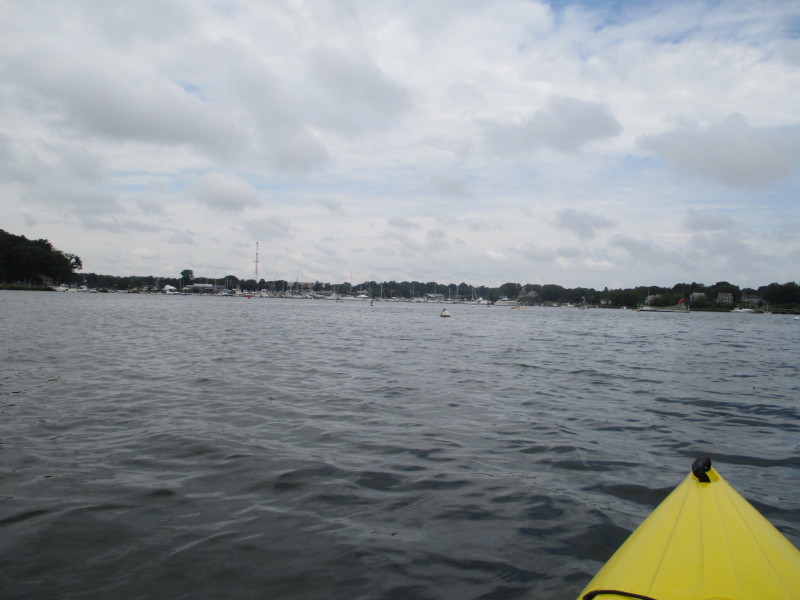
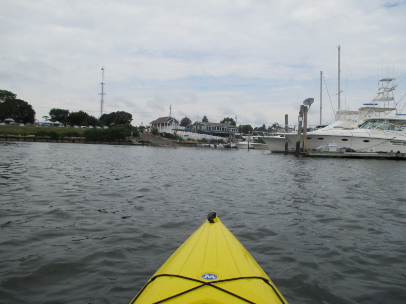 I can see the town dock.
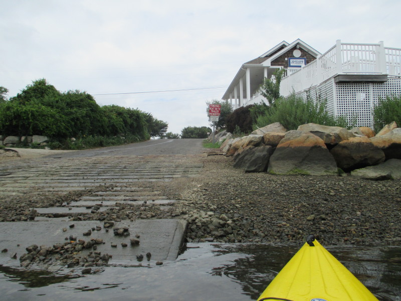 Landed. Paddle time was 2 hours 28 minutes.
|