 Kayaker

| ||||||||||||||||||||||||||||||||


|
Download printer-friendly
PDF version that fits in one page: |

|
|
Other resources:
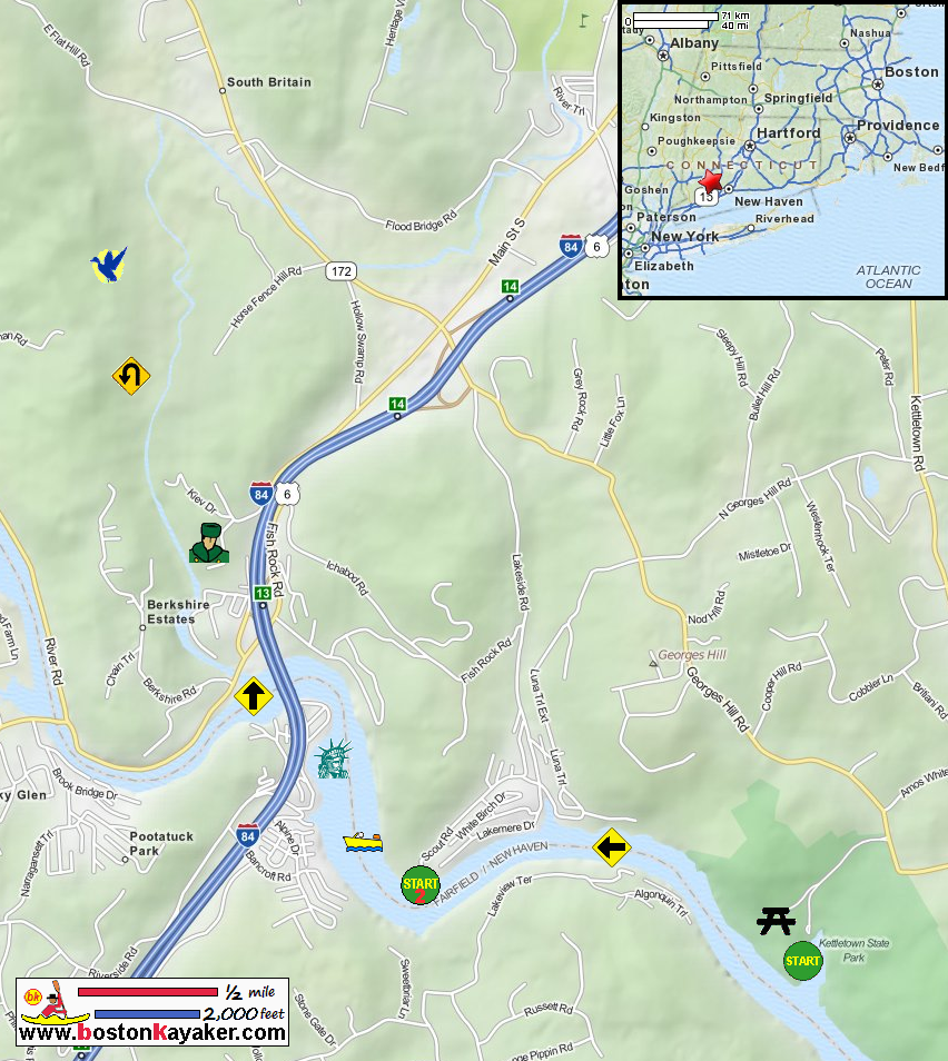
Housatonic River Guide Housatonic River Guide: Georges Hill Road, Kettletown State Park, Oxford CT Housatonic River Guide: Scout Road Boat Launch, Southbury CT Kettletown State Park (will open in new window) Kettletown State Park Map pdf Kettletown State Park Map (cached copy) CT Audubon Society: Bent of the River Sanctuary CT Museum Quest: Churaevka Russian Village All photos in this website are original and copyrighted. 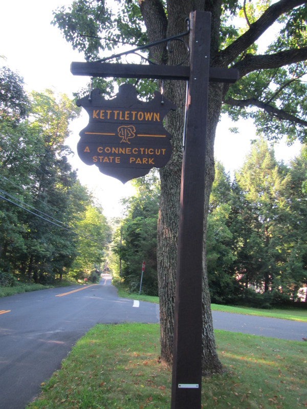
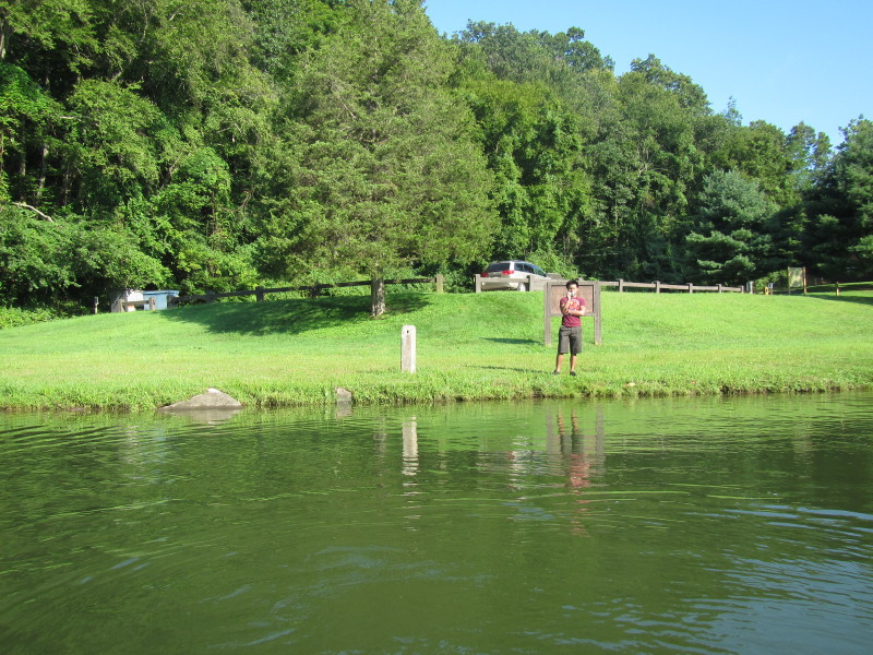
At Kettletown State Park in Oxford CT. Trip date is August 2012. 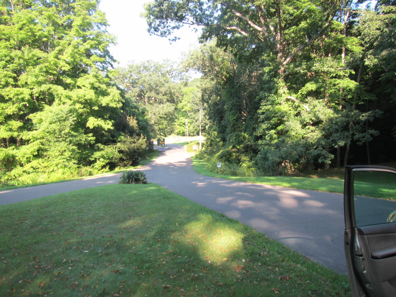 The unstaffed entrance to the state park.
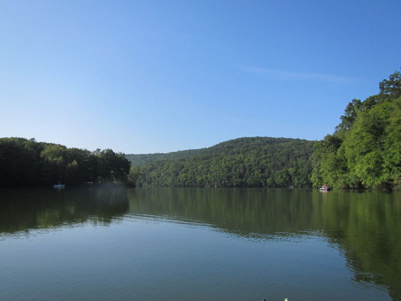
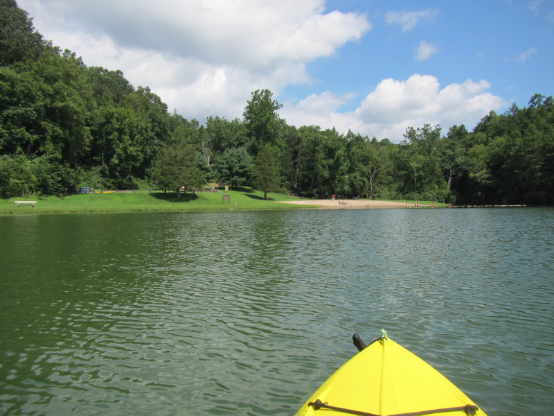
 The state park cove on the Housatonic River.
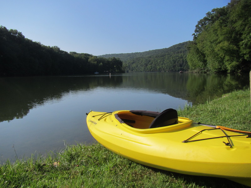
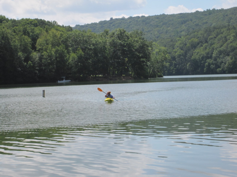
 Just launched on the Lake Zoar / Houstaonic River.
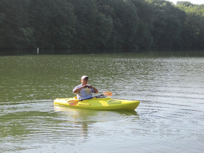
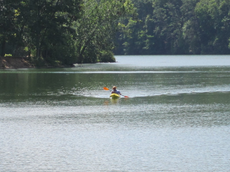
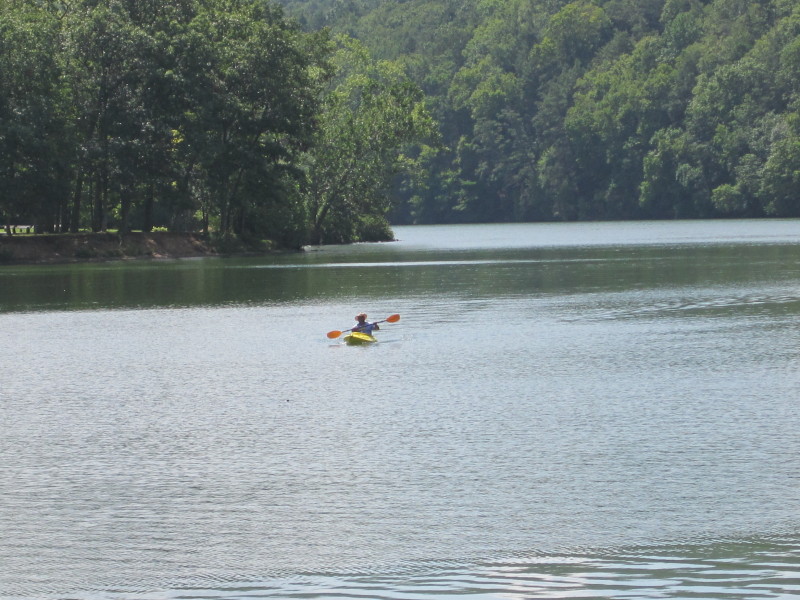
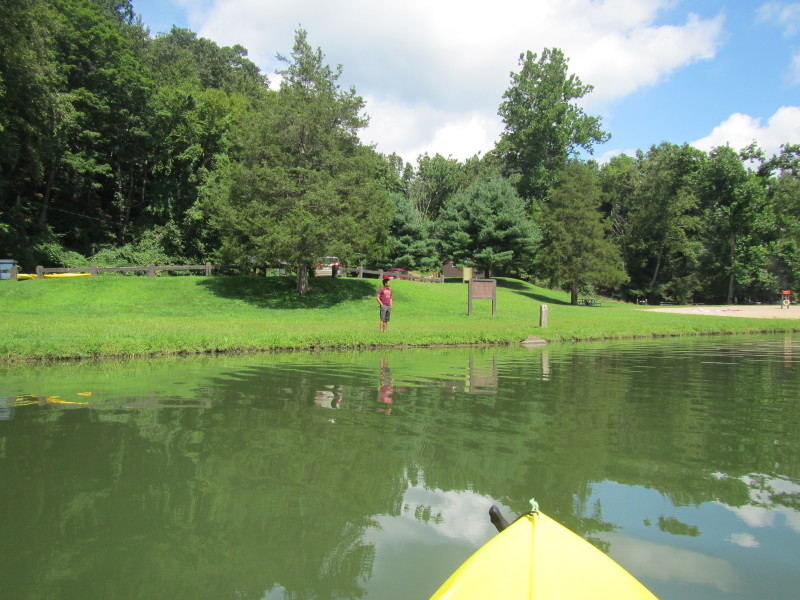
 That's my son.
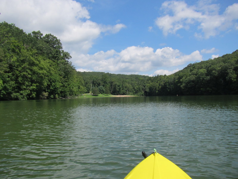
 Paddling out of the state park cove.
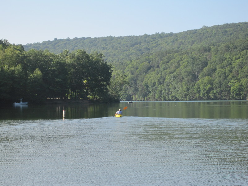
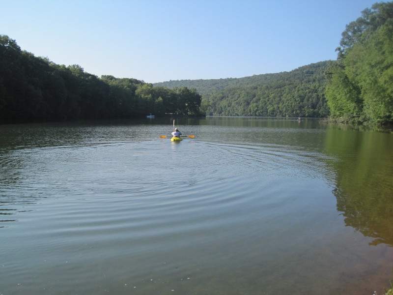
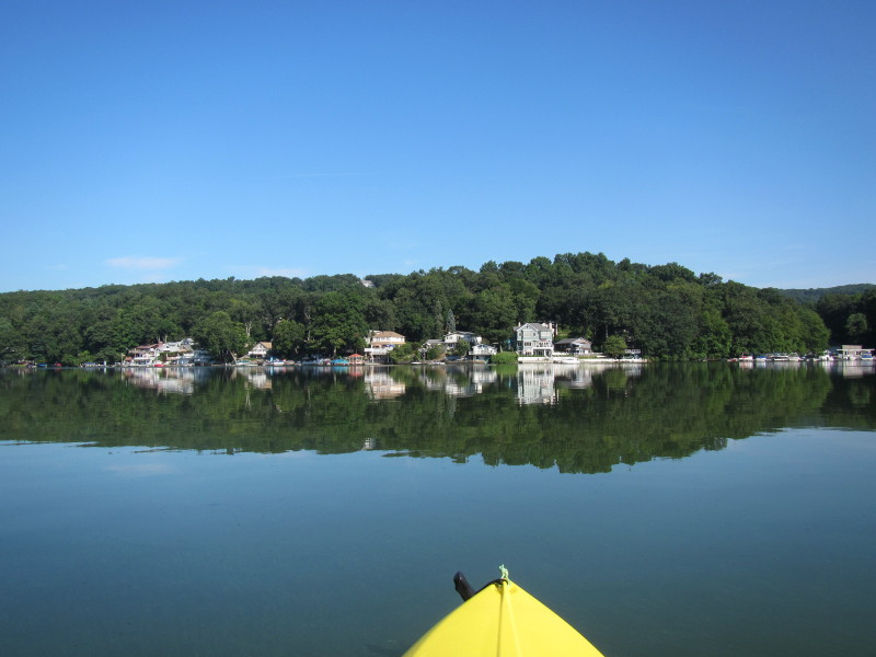
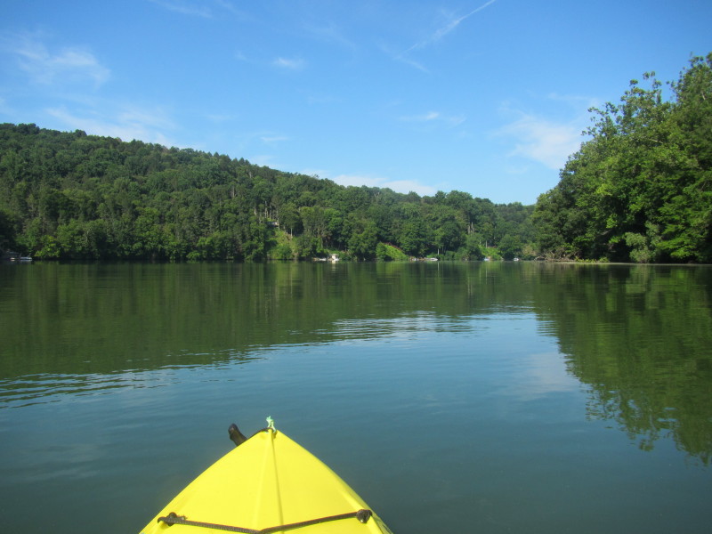
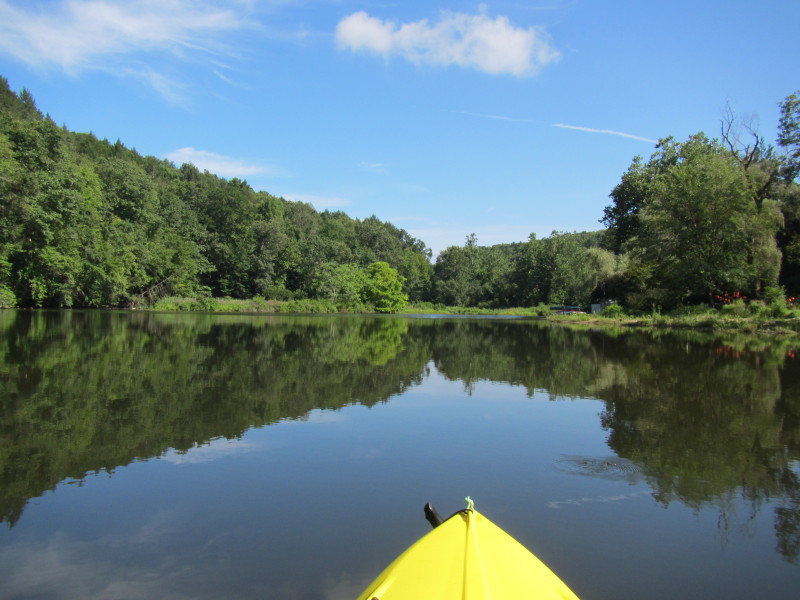
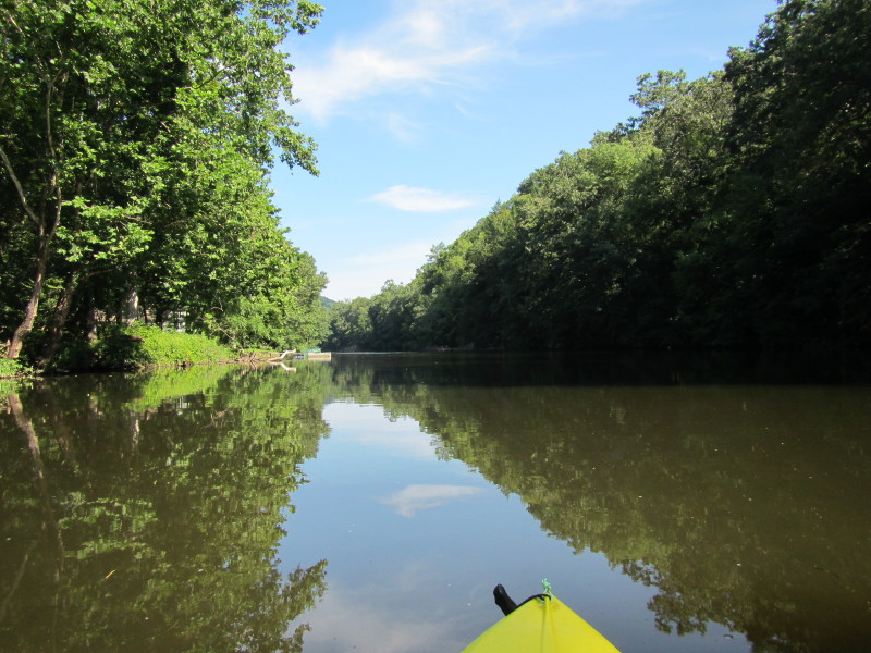
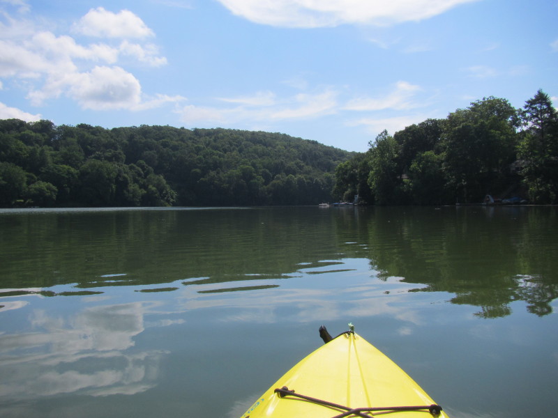
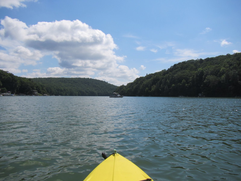
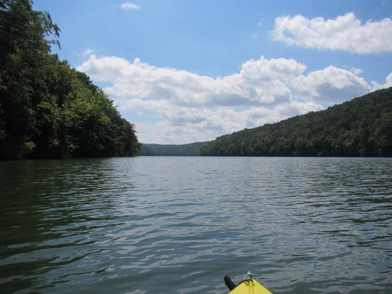
 Just out of the cove, looking south.
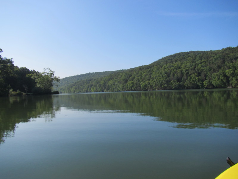
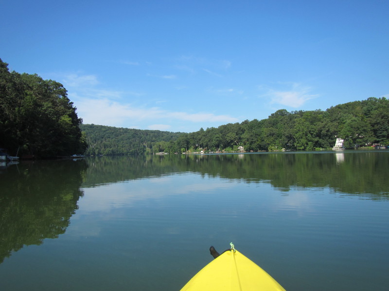
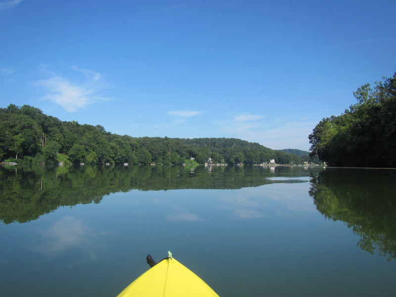
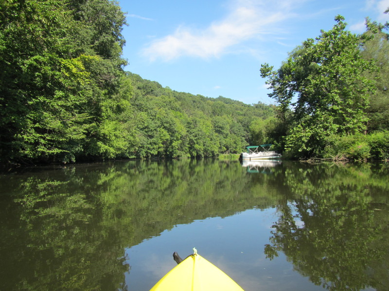
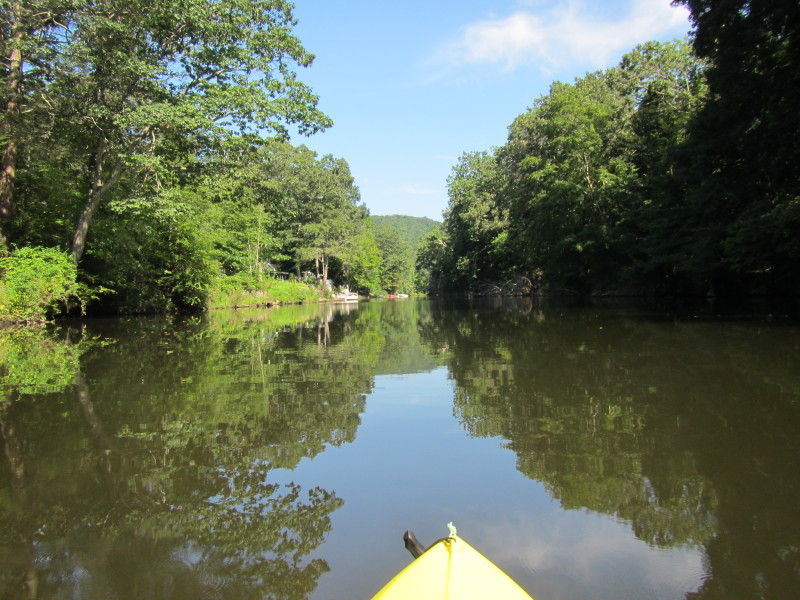
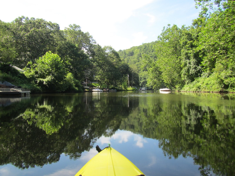
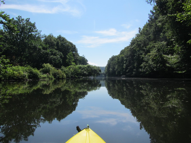
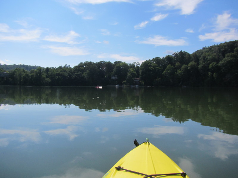
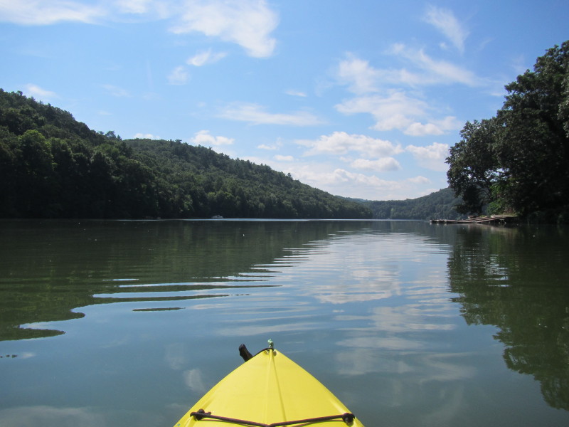
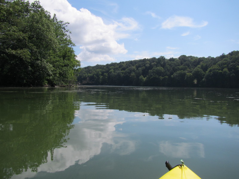
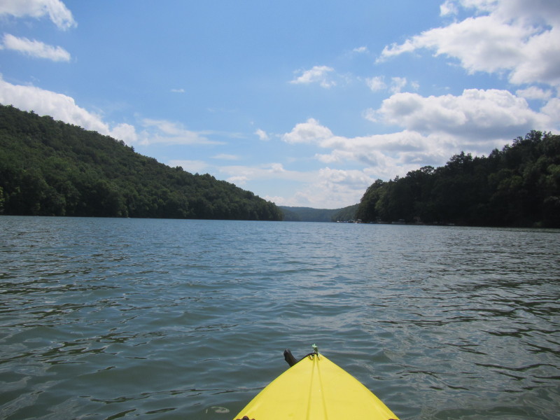
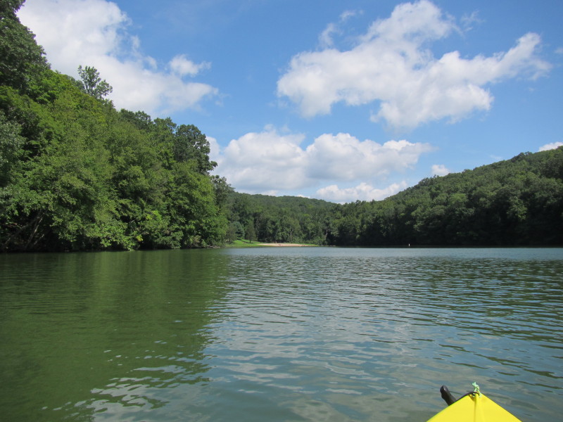
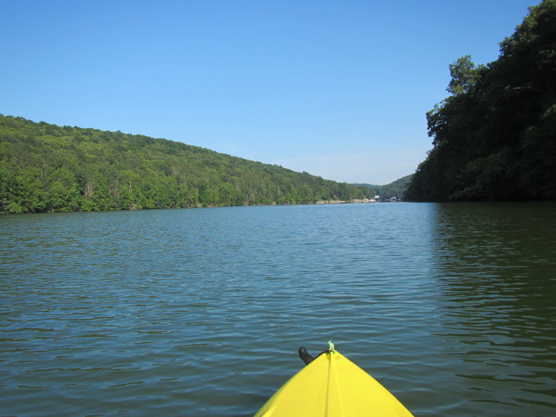 Now paddling north.
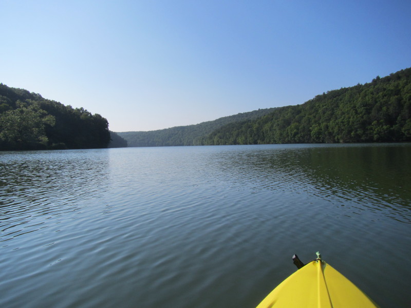
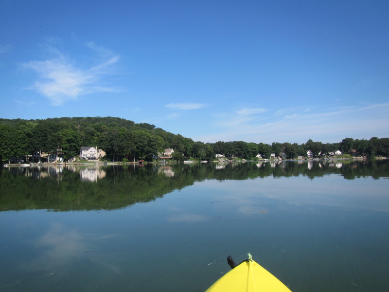
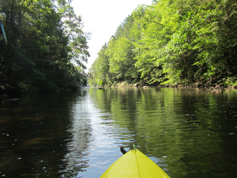
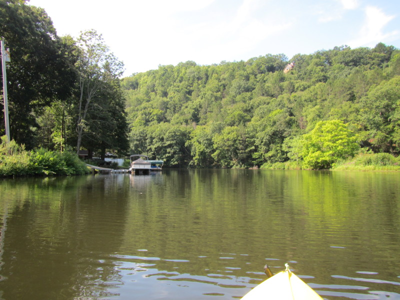
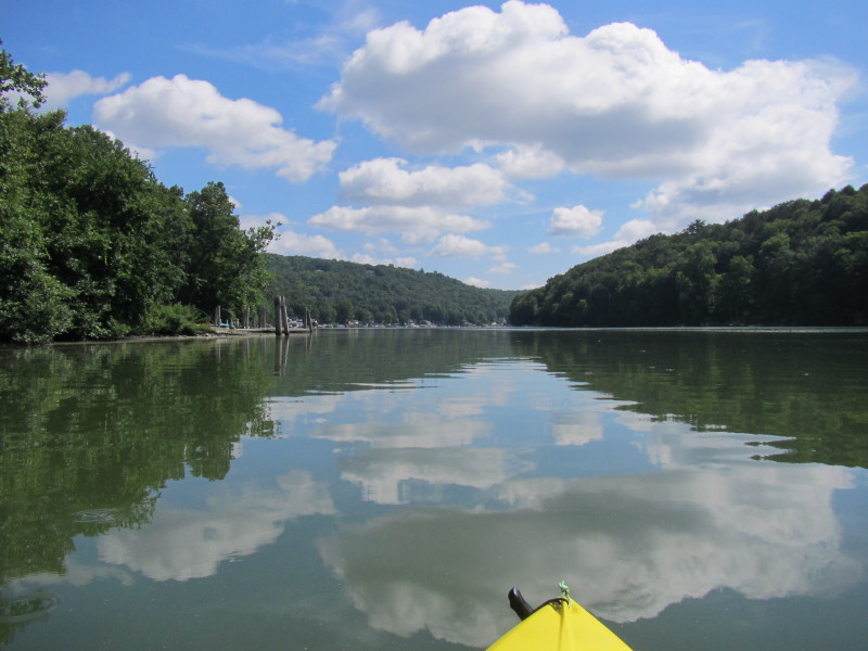
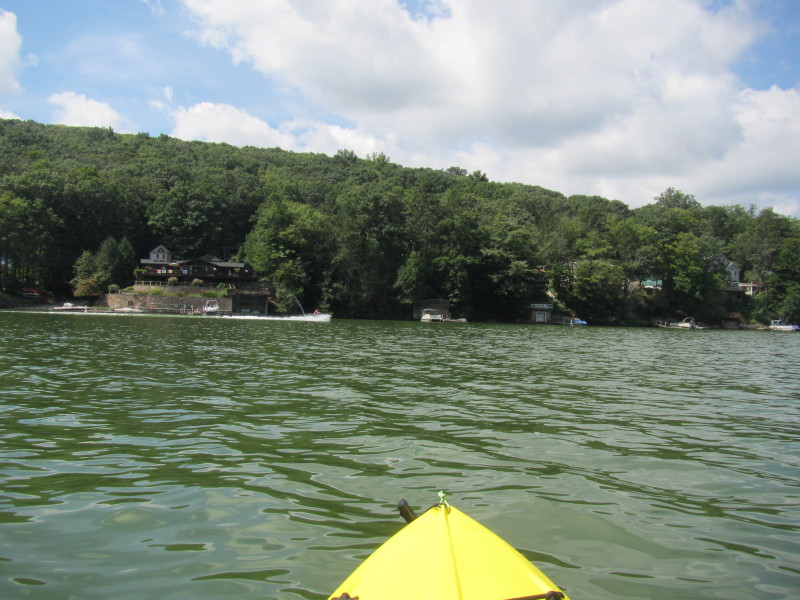
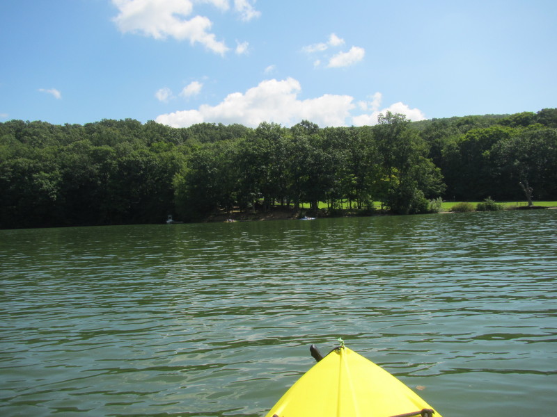
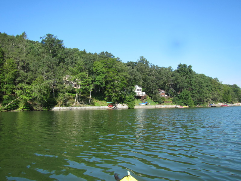 Moving to the west bank.
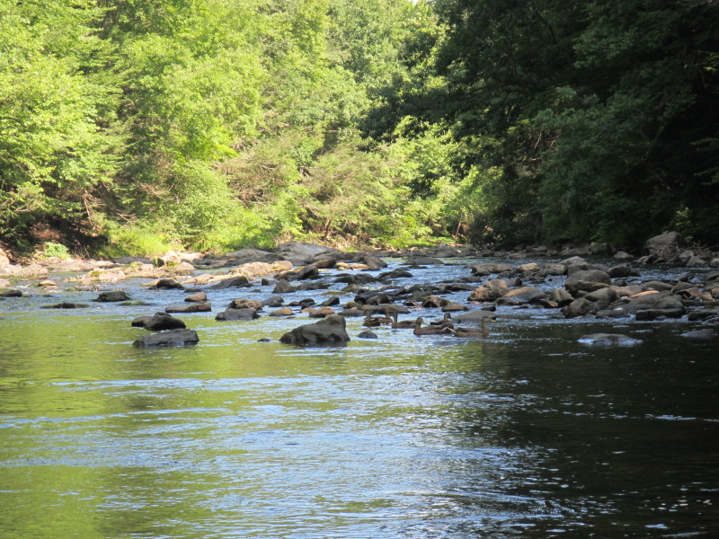
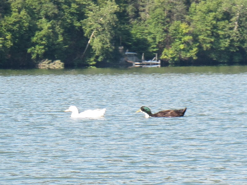 A white duck followed by a black duck.
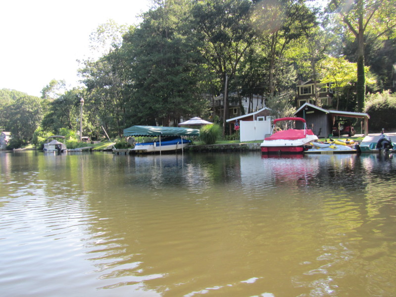
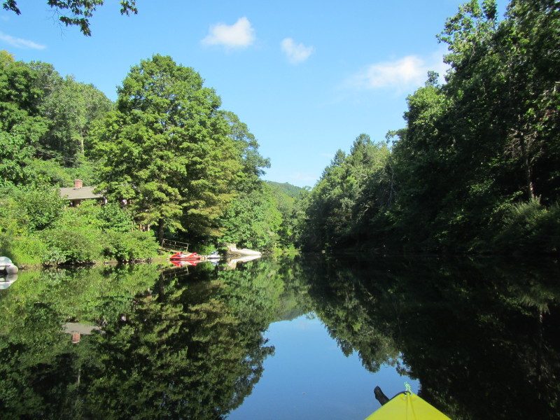
 The launch at Scott Road. The alternate put in site in my map.
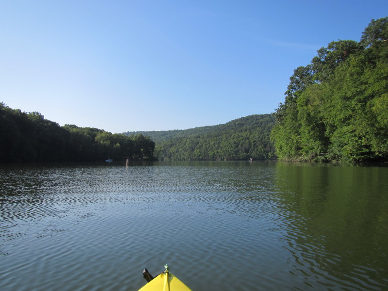
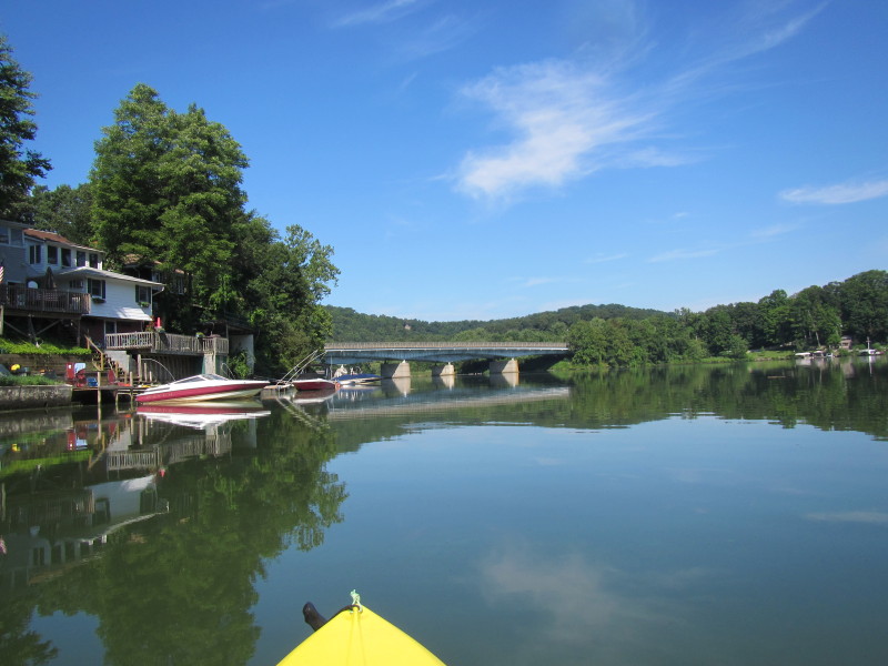
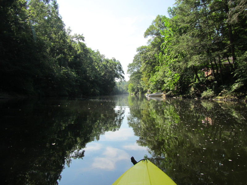
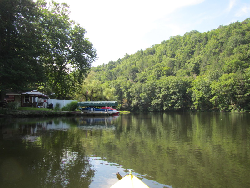
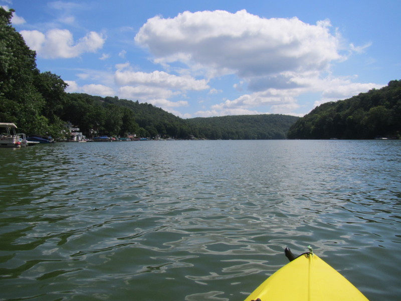
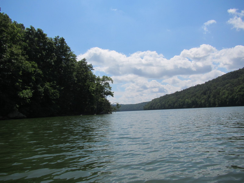
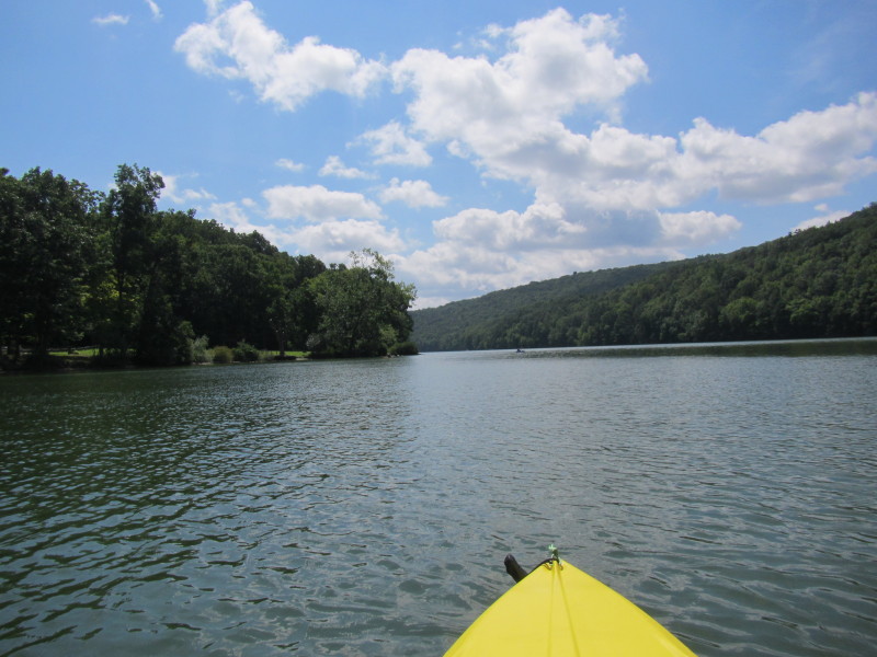
 The river is curving to my right.
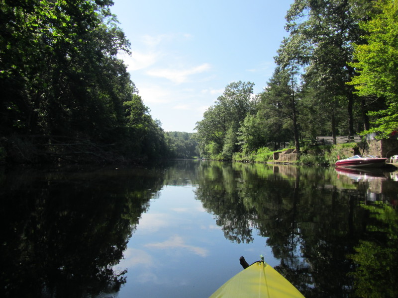
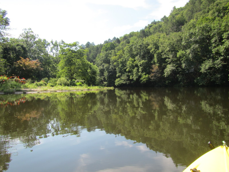
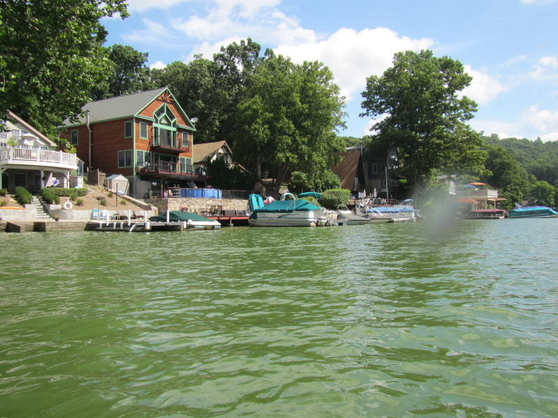
 After rounding the curve to the right.
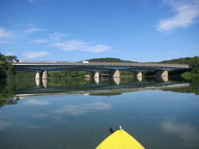
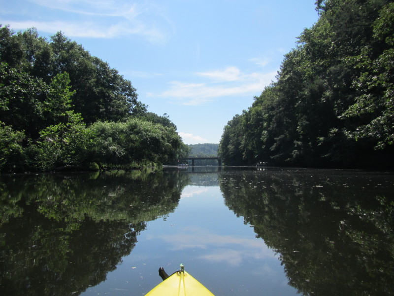
The I-84 bridges will be another curve to the left. 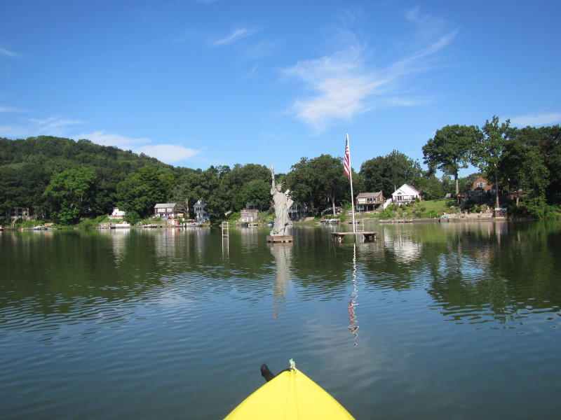
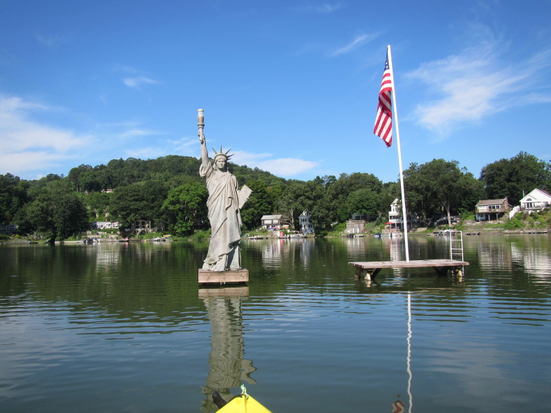
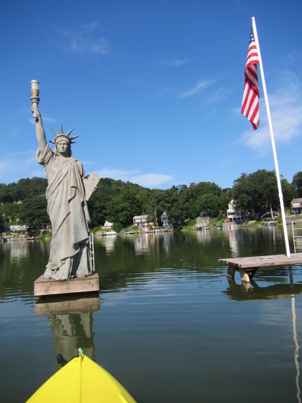
Miniature Statue of Liberty on Lake Zoar. 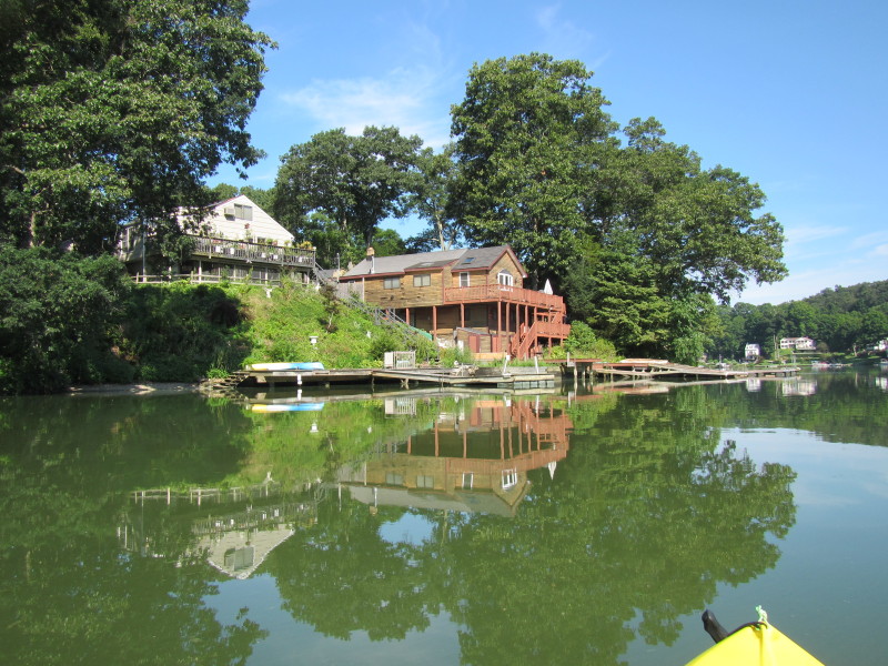
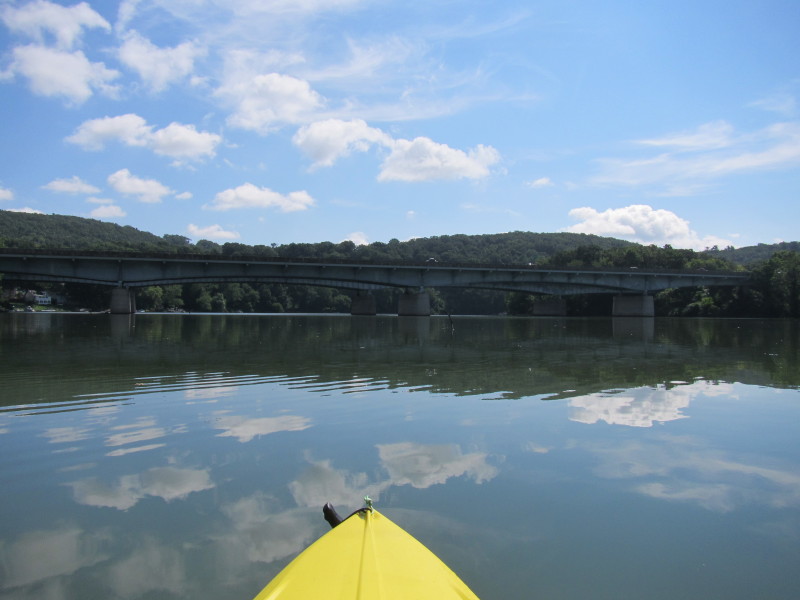
 I-84.
I-84.
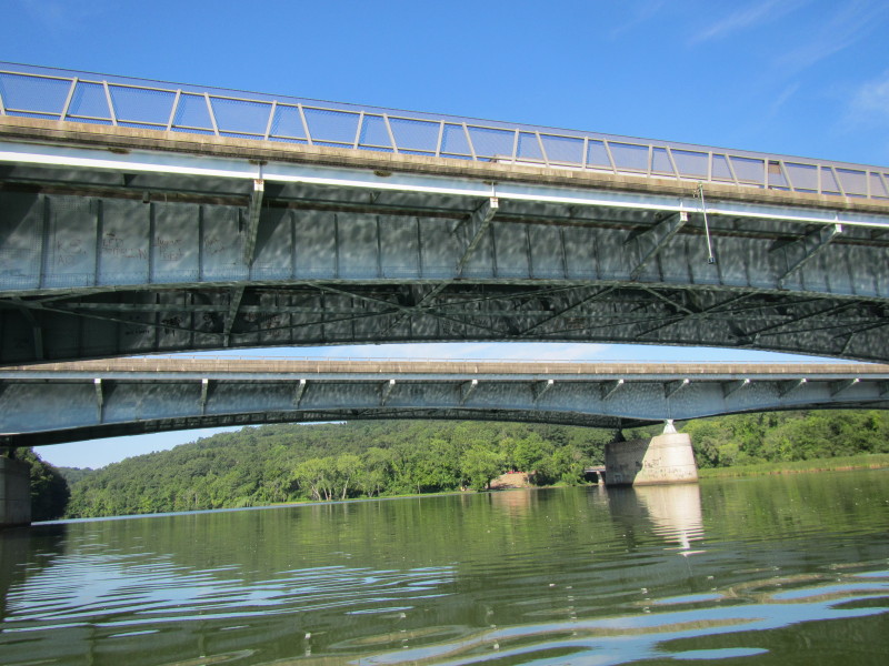
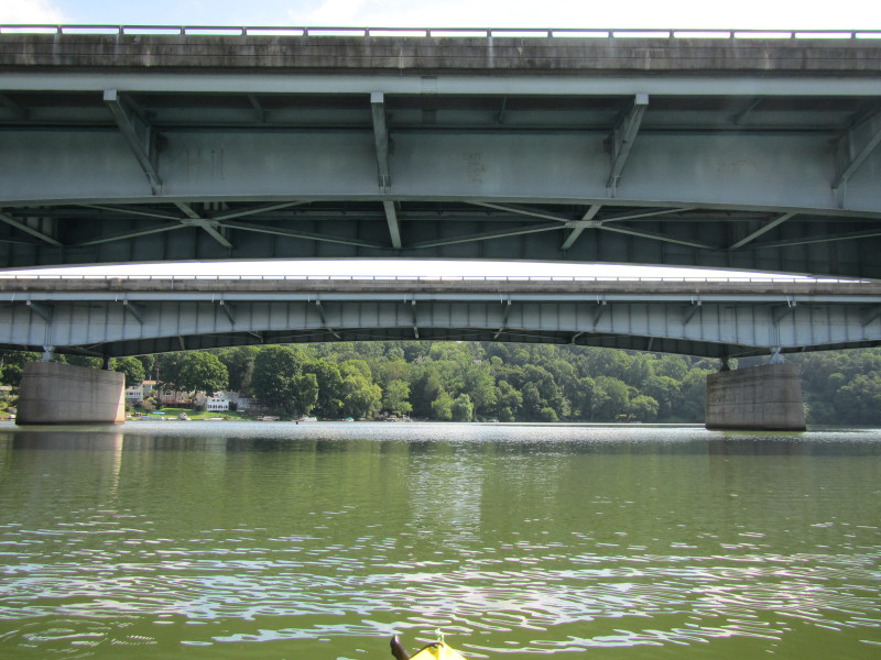
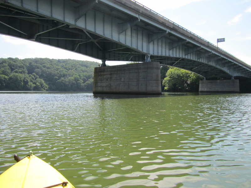
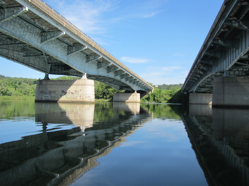 In between I-84 West on my left and I-84 East on my right.
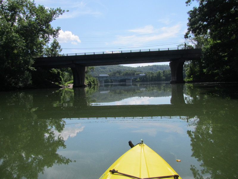
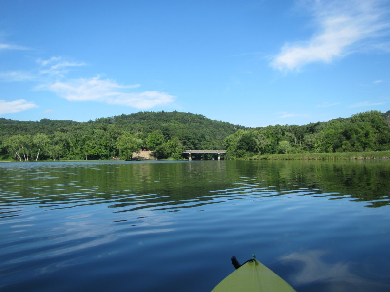 Just past the I-84 bridges is the River Road bridge and the mouth of Pomperaug River.
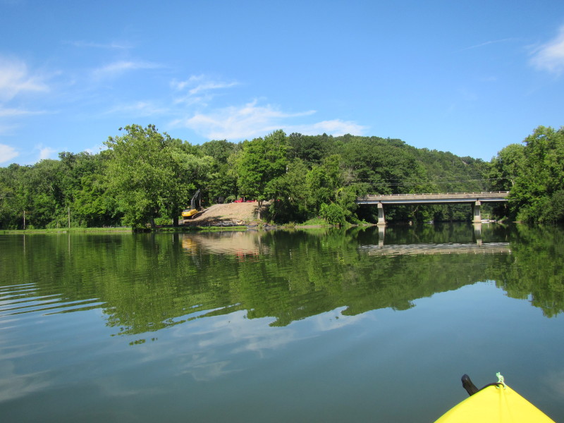 Some construction happening on beside the River Road bridge.
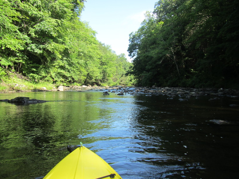
A new launch maybe? 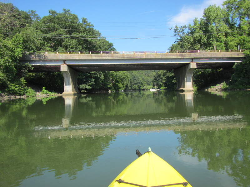 Now entering Pomperaug River.
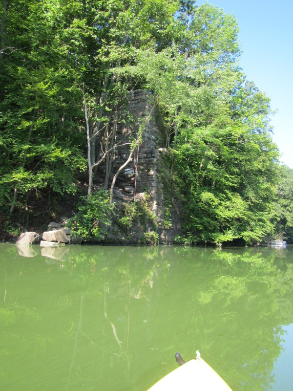
Remnants of an old bridge? 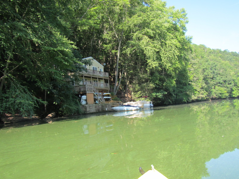
 Looks like I have reached my point of return on Pomperaug River.
 Ducks on Pomperaug River.
 Just turned around. Now paddling south back to where I started.
 This bridge marks the mouth of the Pomperaug River.
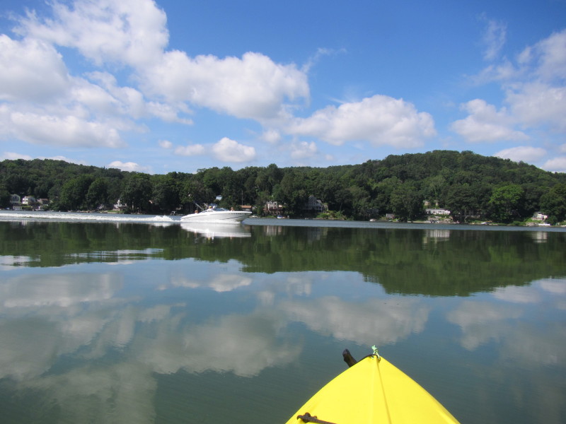
 Back to the Housatonic River, now heading east.

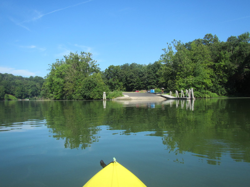
 Entering the state park cove.
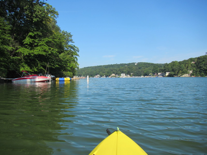
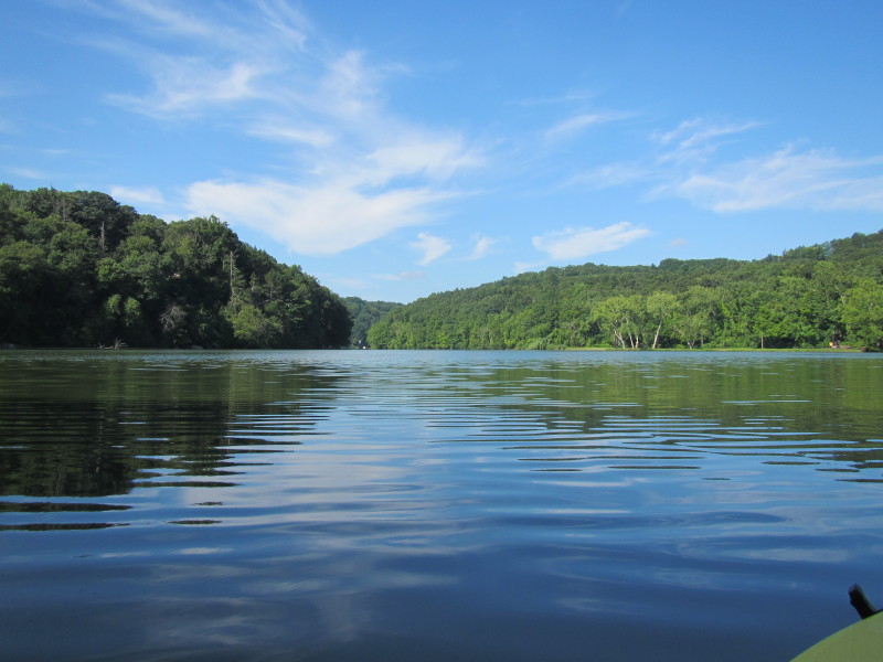
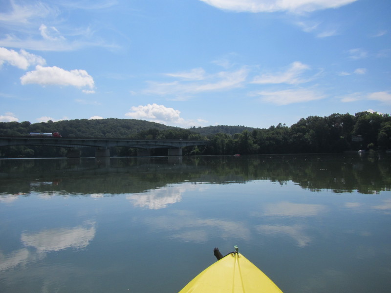
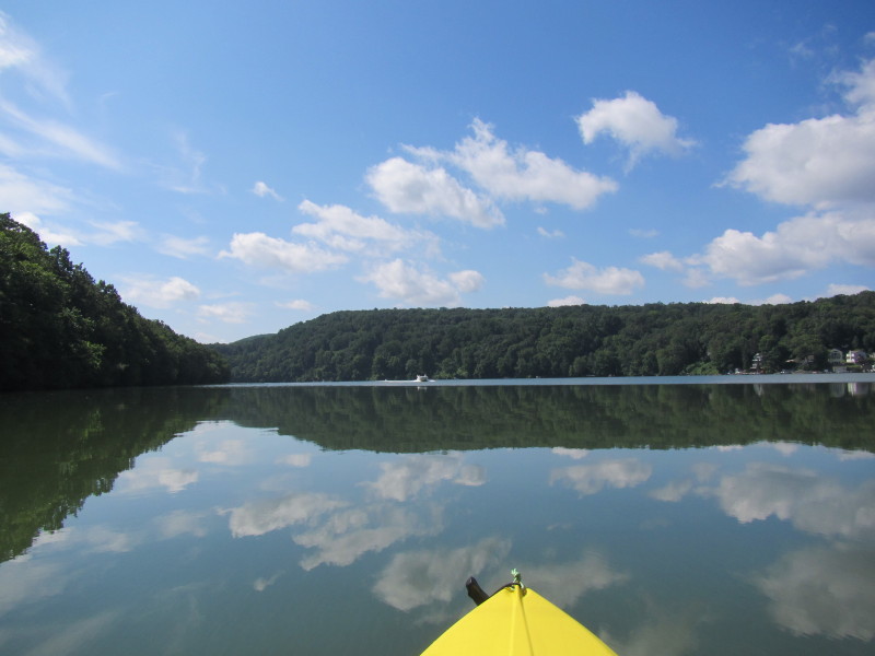
 One last look at the southern section of Lake Zoar.
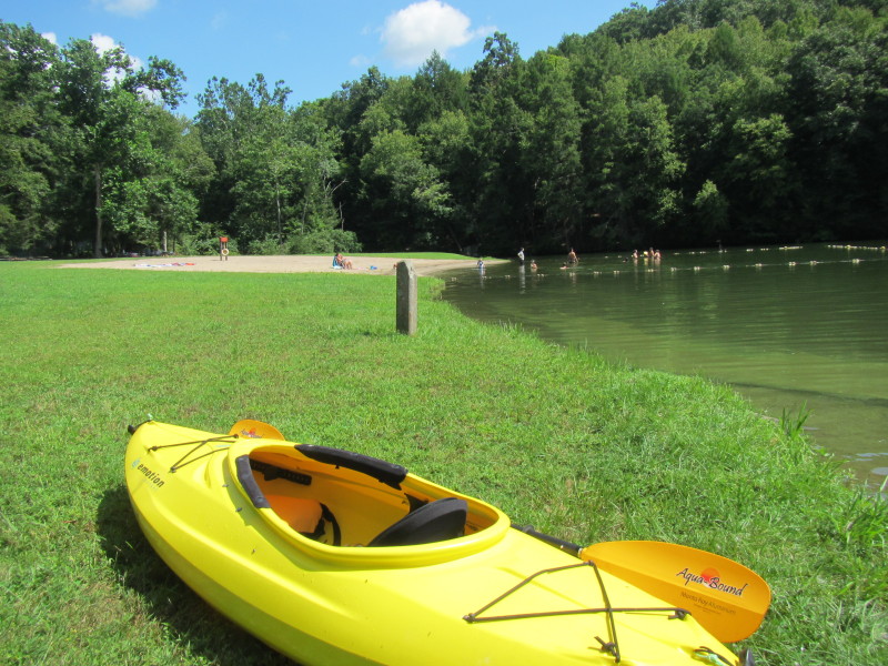 The Boston Kayaker has landed. On Kettletown State Park.
Total time on the water is: 3 hours and ten minutes.
The Boston Kayaker has landed. On Kettletown State Park.
Total time on the water is: 3 hours and ten minutes.
|