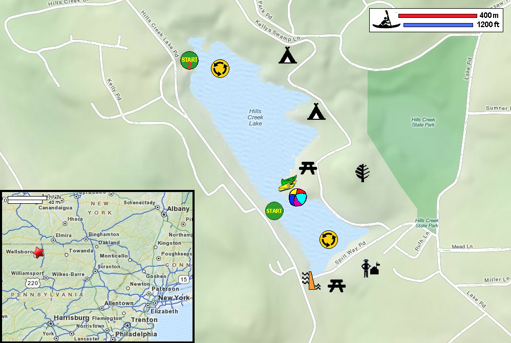
 Kayaker

| |||||||||||||||||||||||||||||||||||


|
Download printer-friendly
PDF version that fits in one page: |

|
|
Other resources:
PA Govt: Hills Creek State Park PA Govt: Hills Creek State Park Guide (brochure) PA Govt: Hills Creek State Park Map PA Govt: Hills Creek State Park Map (cached copy) All photos in this website are original and copyrighted. 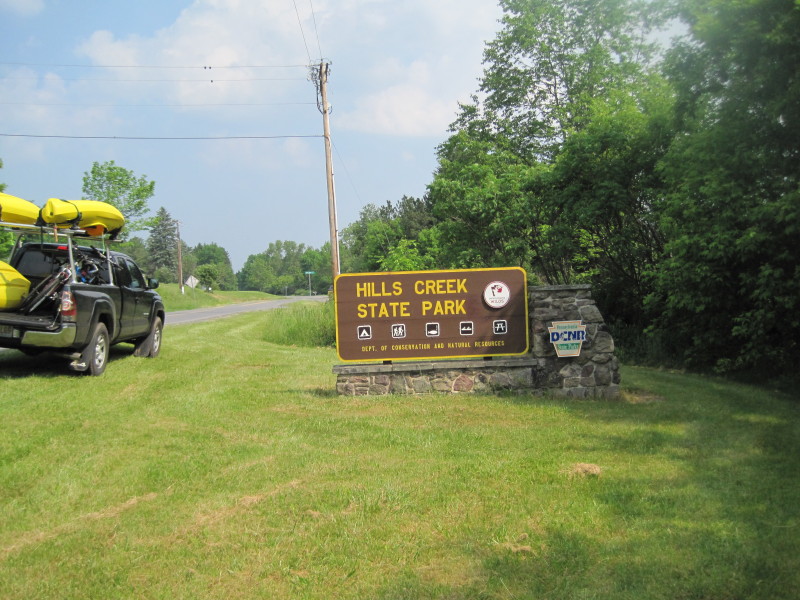 At Hills Creek State Park. Trip date is May 2012.
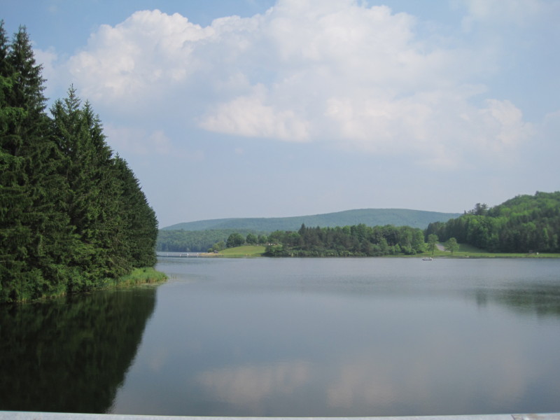 Hills Creek Lake from Spillway Road.
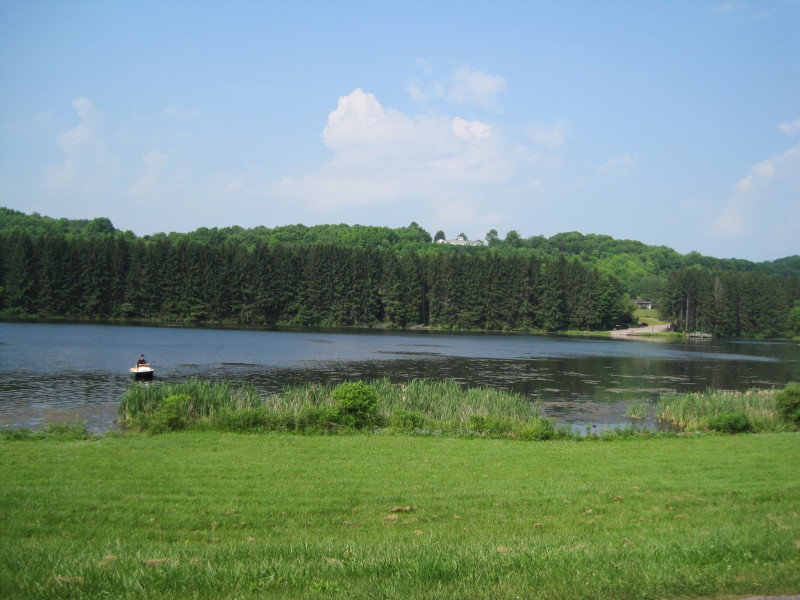
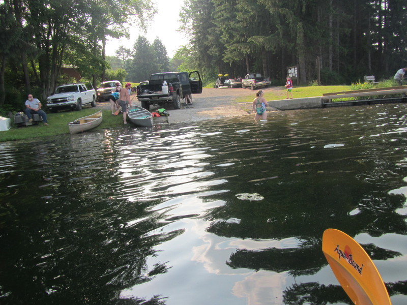
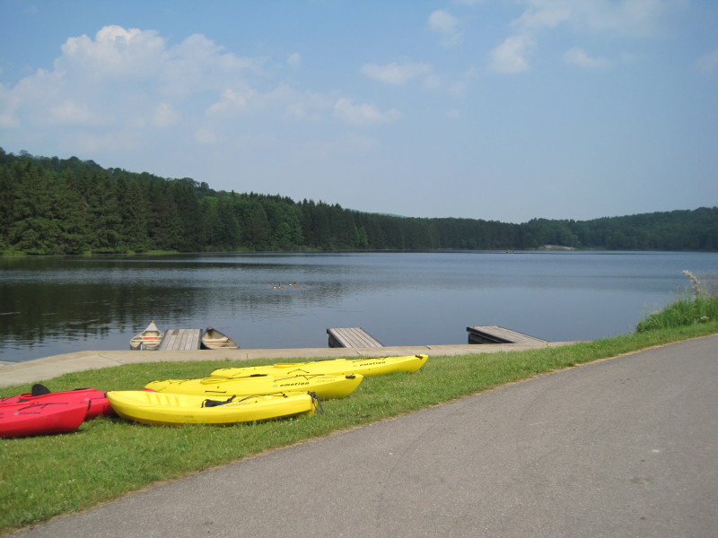 From the kayak rental shop.
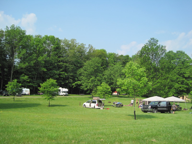 Campgrounds.
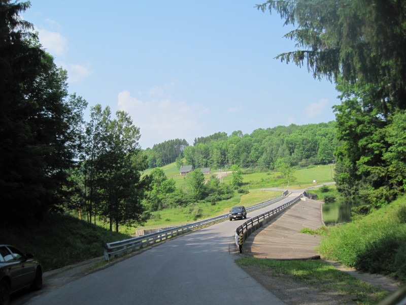 Spillway Road.
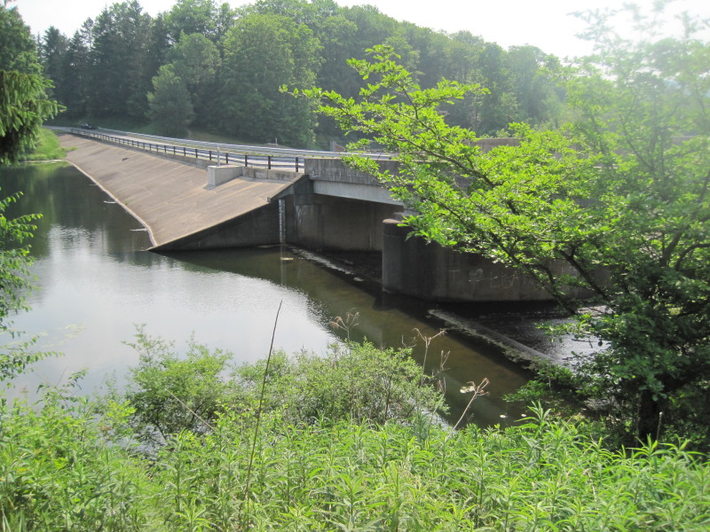 Hills Creek Lake Dam.
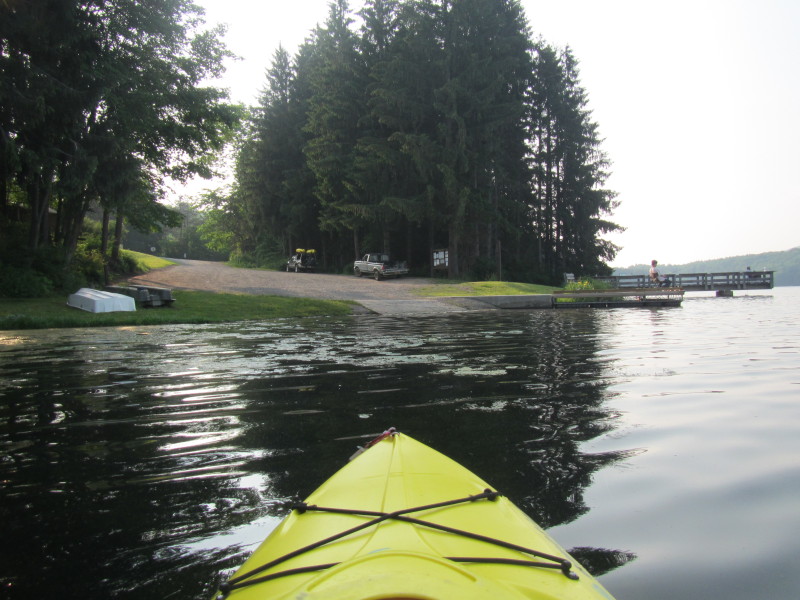
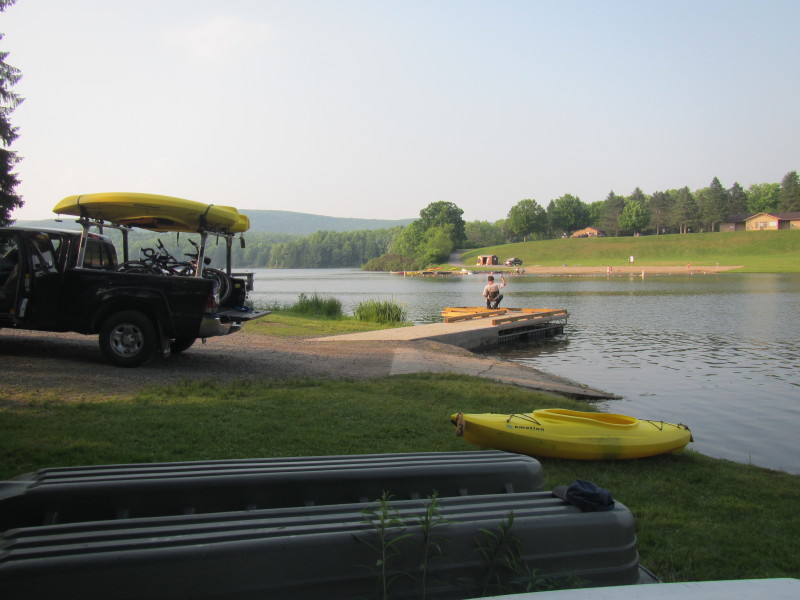
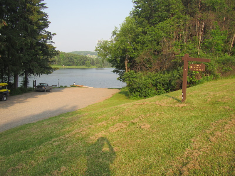 At the Pines Boat Launch put in.
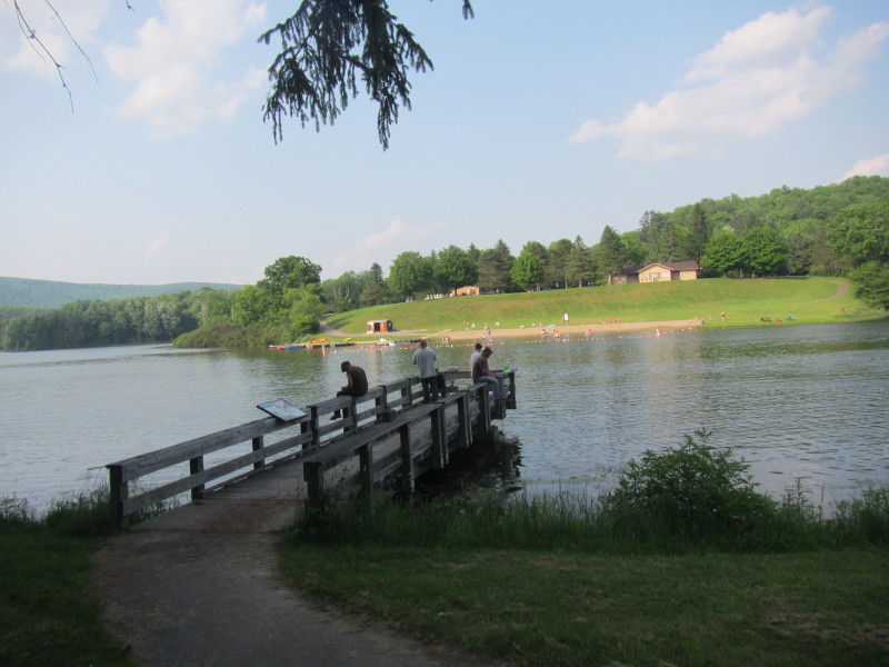 Fishing platform next to the put in.
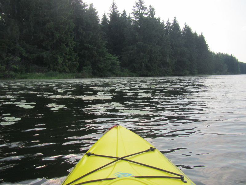
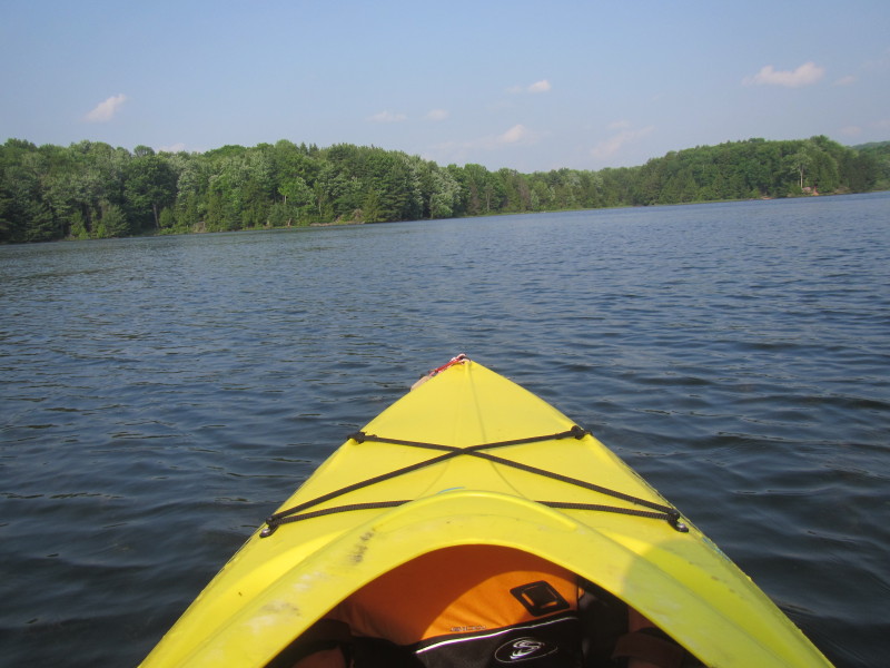
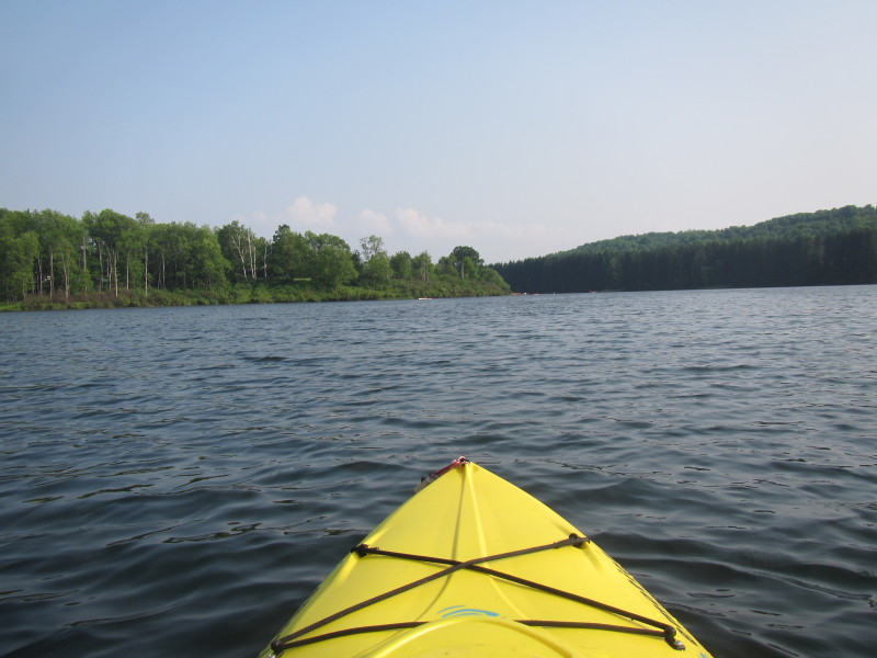
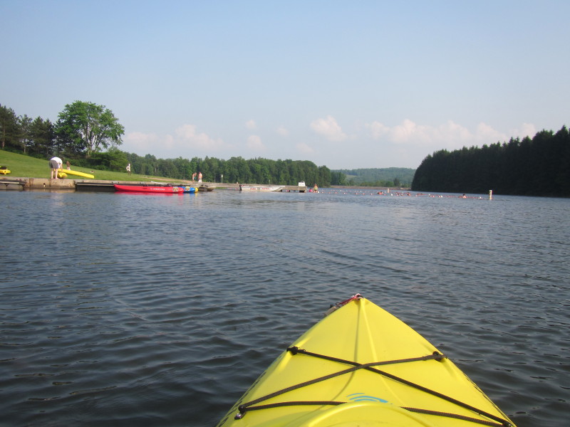
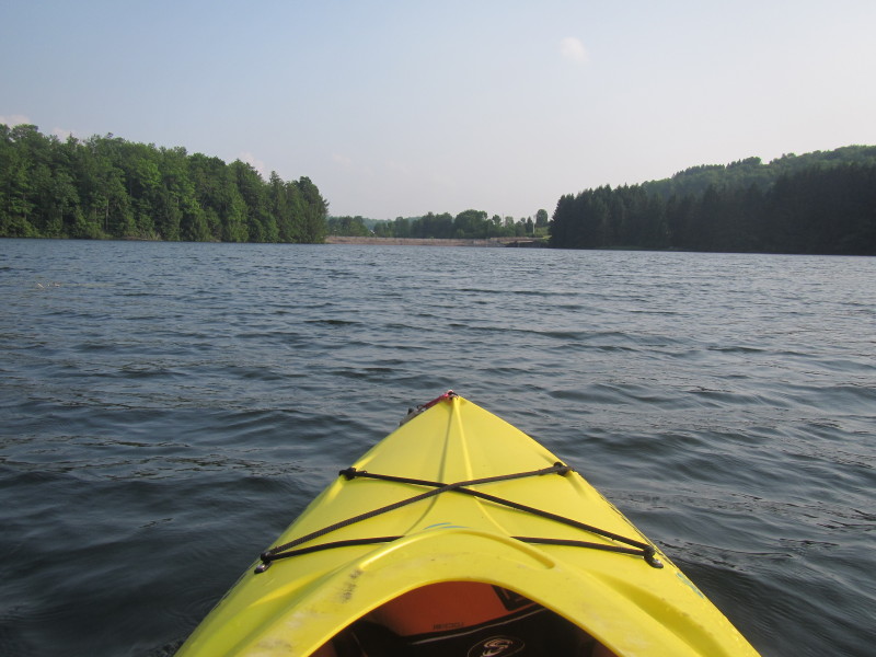
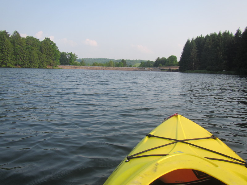
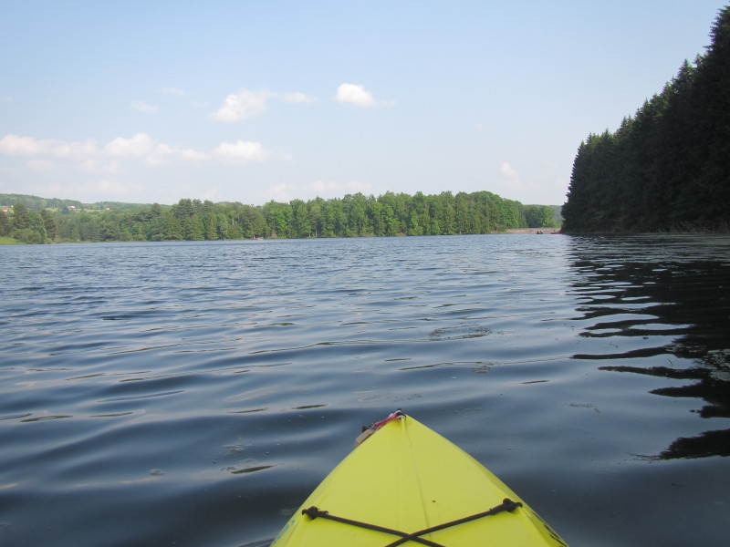 Right after put in, I faced briefly south. The dam is in the far background.
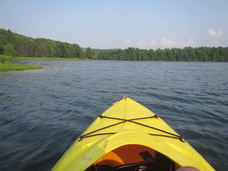
 I then turned around and faced north. My put in is to my left.
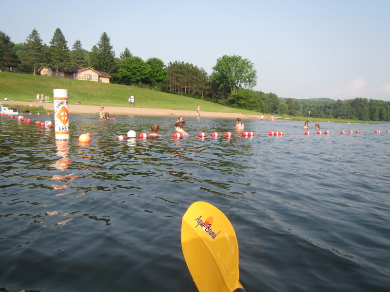
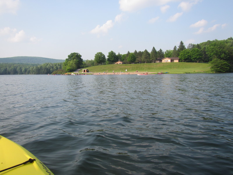 The swimming area is on my right (east side of the lake).
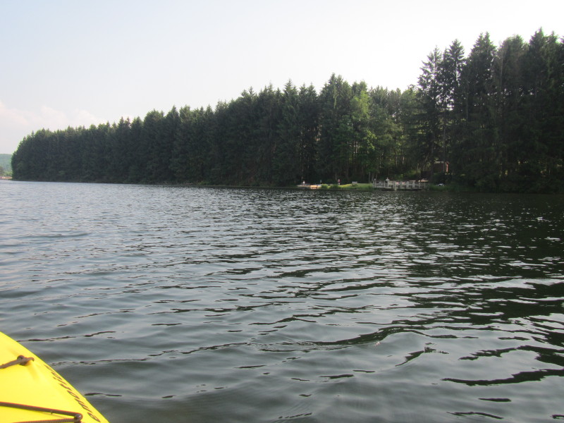
 I am paddling along the west coast of the lake (now under shade).
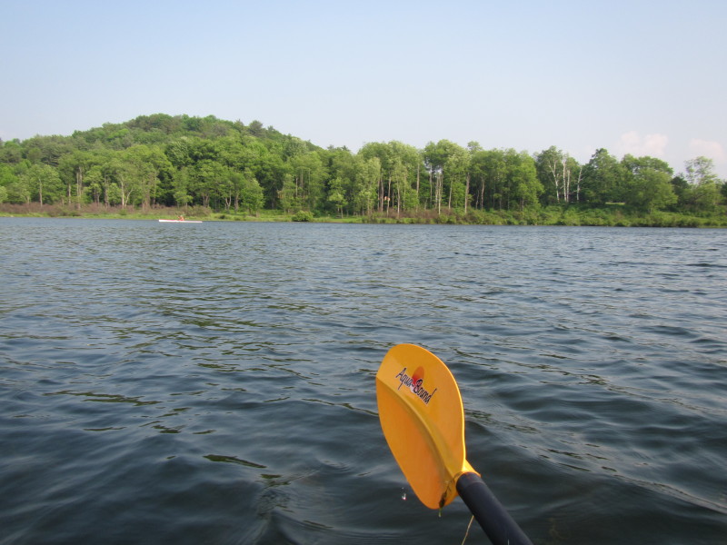
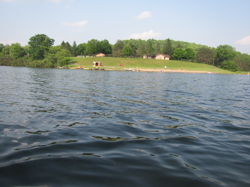 The public swimming area is on the other side of the lake (to my right).
 Facing on the other side of the lake . . .
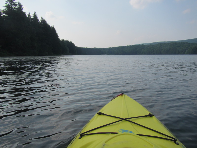
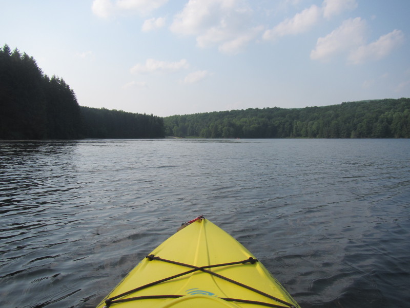
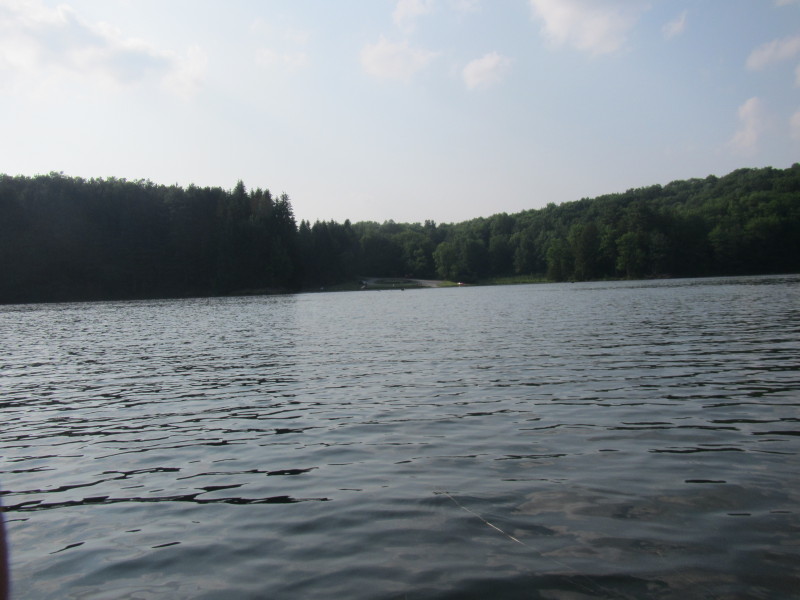
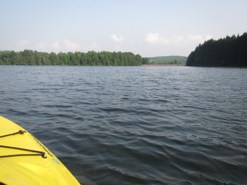
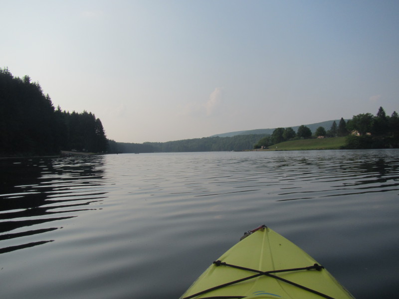
 Looking south from the north of the lake.
 The other launch site at the northern end of the lake.
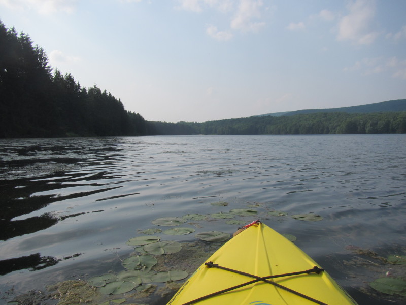
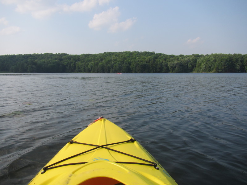
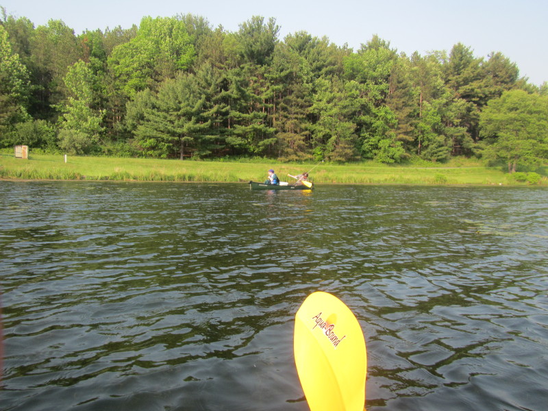
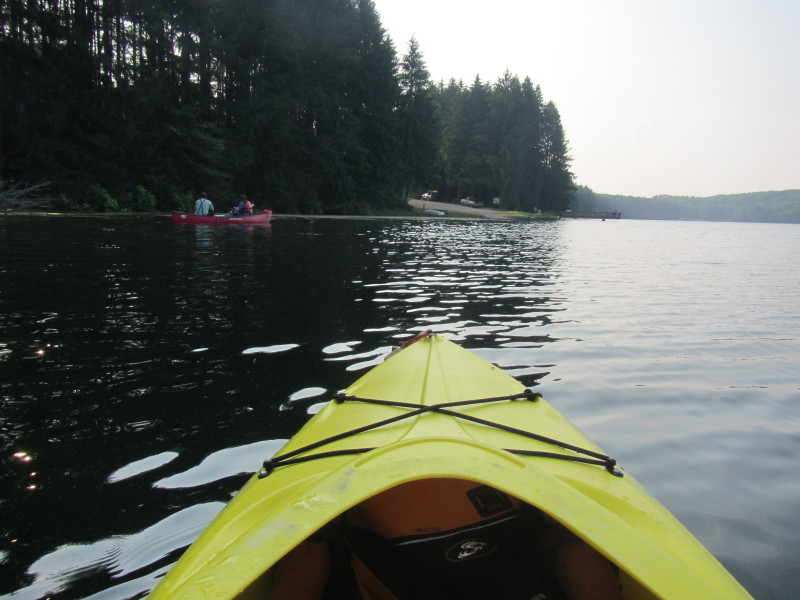
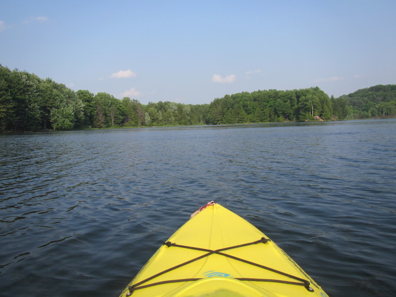 I am now crossing the lake from the west side to the east side.
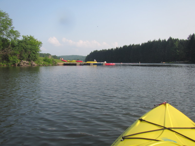 The kayak rental shop.
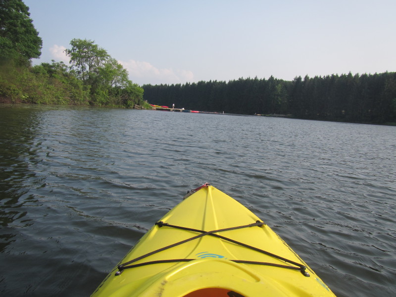
 The put in is on the other side of the lake.
 Public beach area.
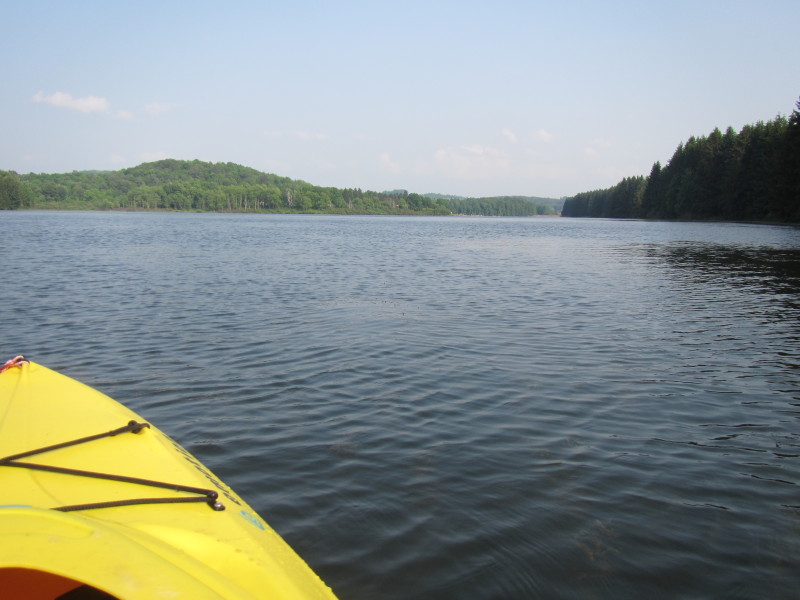
 Heading to the south east corner of the lake.

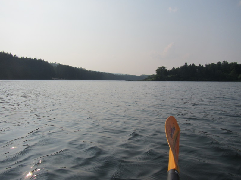
 I am at the south end some hudred yards from the dam.
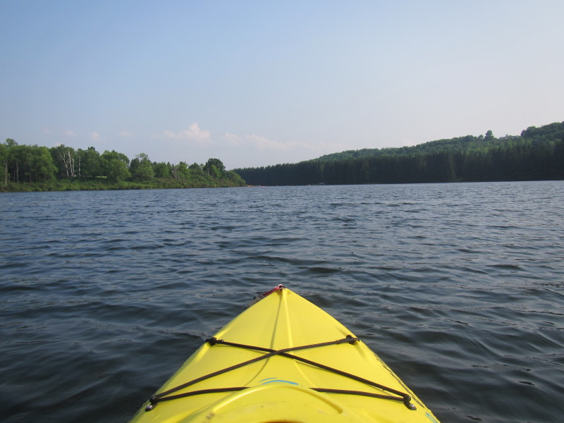
 I rounded the south end and now paddling north to my put in.
 I was on the lake for an hour and a half.
|