 Kayaker

|


|
Download printer-friendly
PDF version that fits in one page: |

|
|
Other resources:
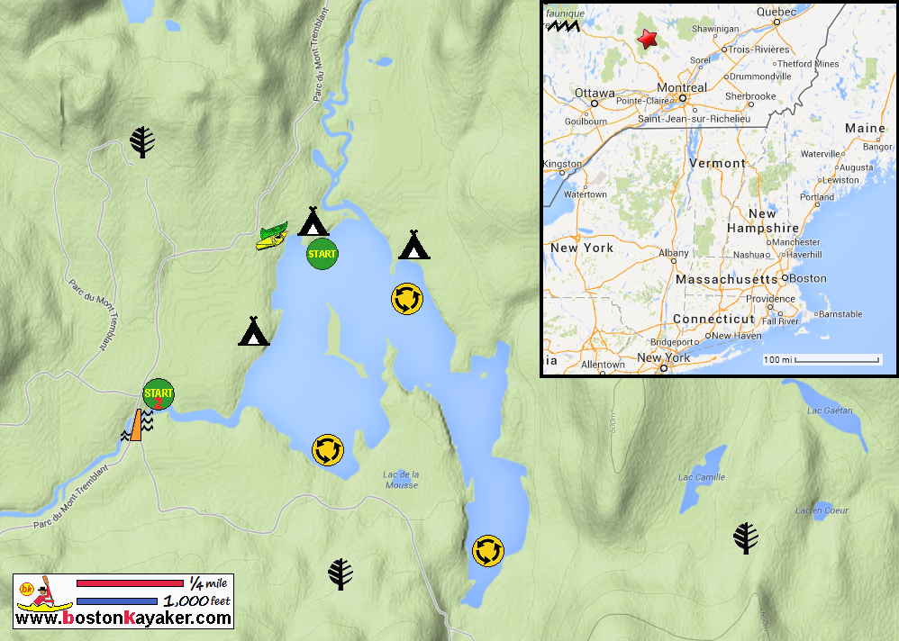
Parc national du Mont-Tremblant Map Parc national du Mont-Tremblant All photos in this website are original and copyrighted. 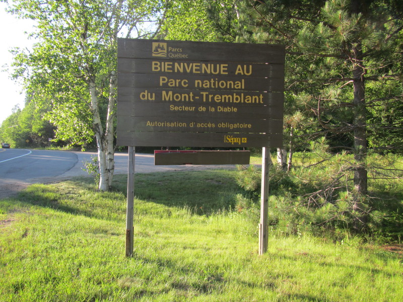 At Parc national du Mont-Tremblant.
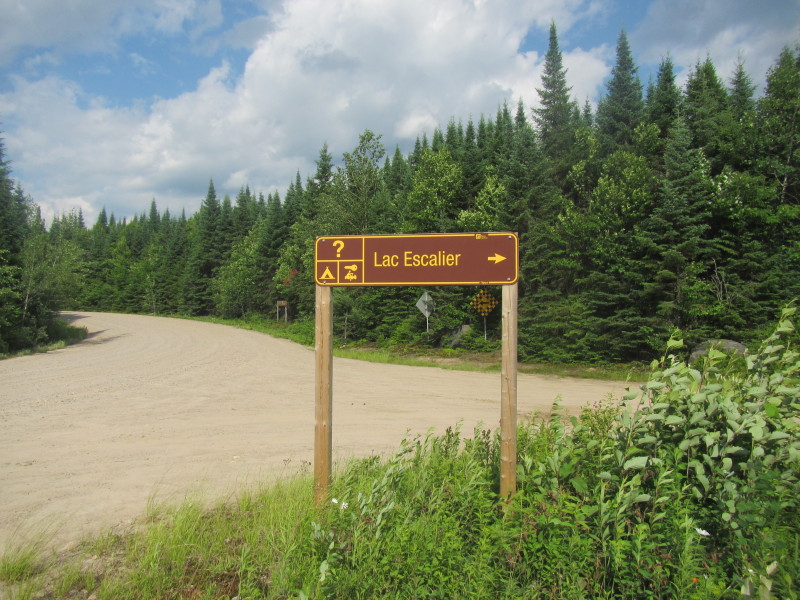
Trip date is July 2014 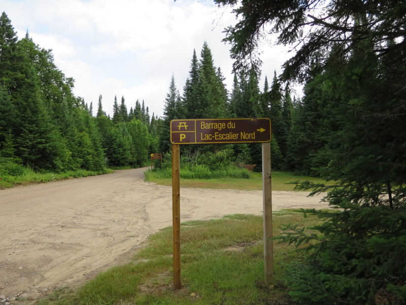 Coming from the southern entrance to the park, one comes to the Lac Escalier natural dam.
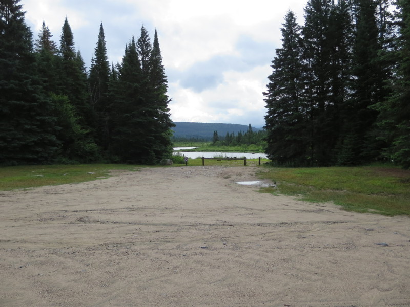 The launch area at the Lac Escalier dam.
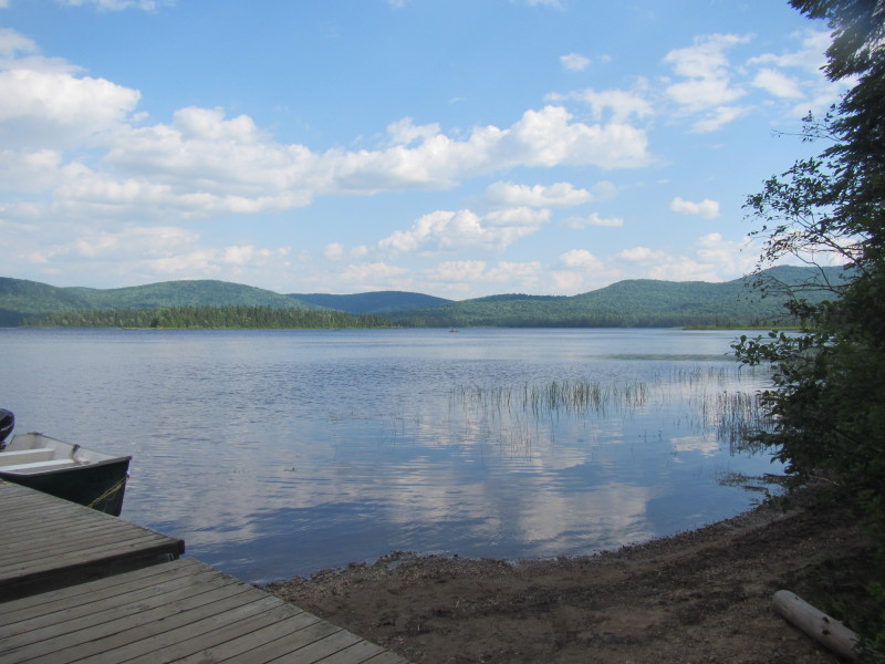
 Lac Escalier viewed from next to the dam.
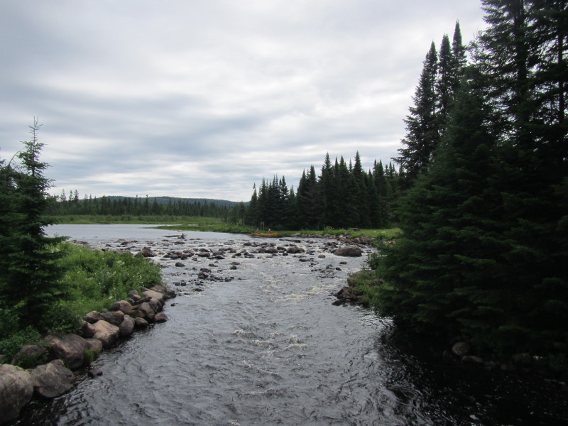 Lac Escalier Dam.
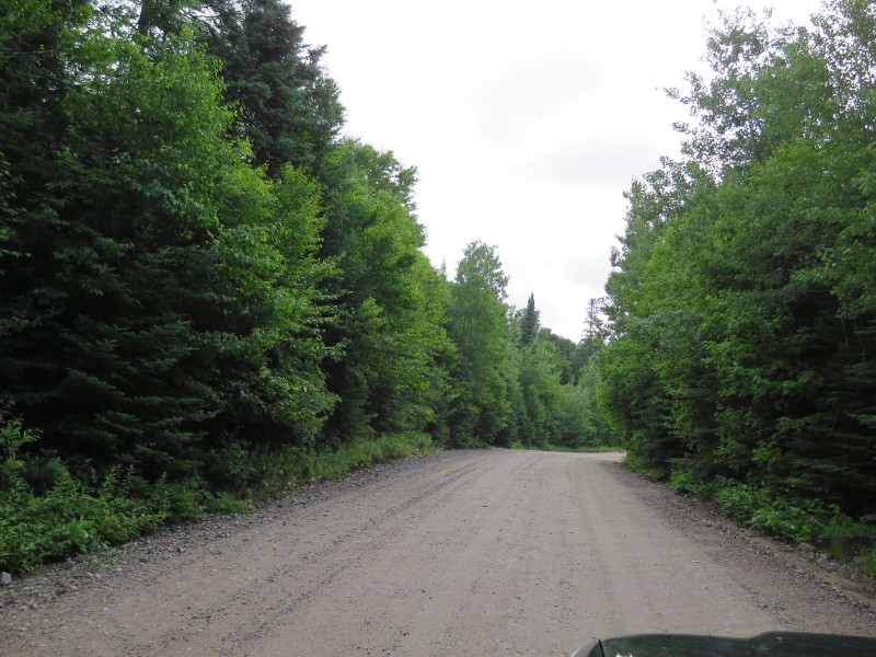 Continuing north on Route 2 unpaved road to the Lac Escalier recreation area.
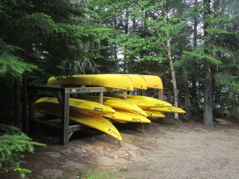
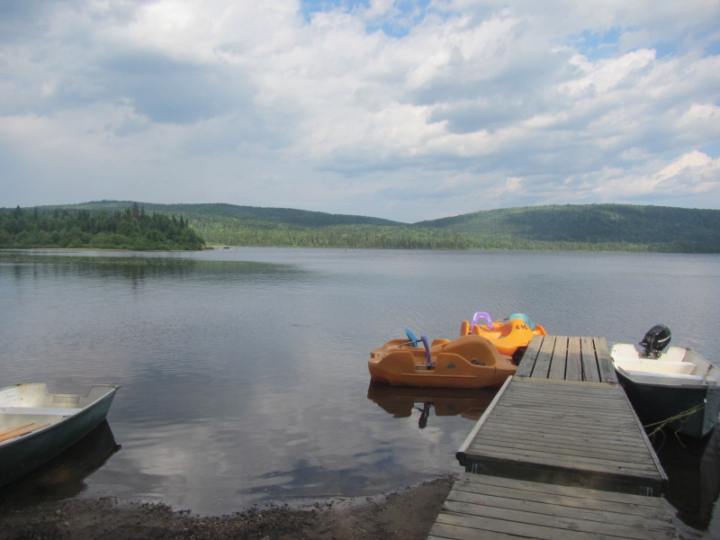
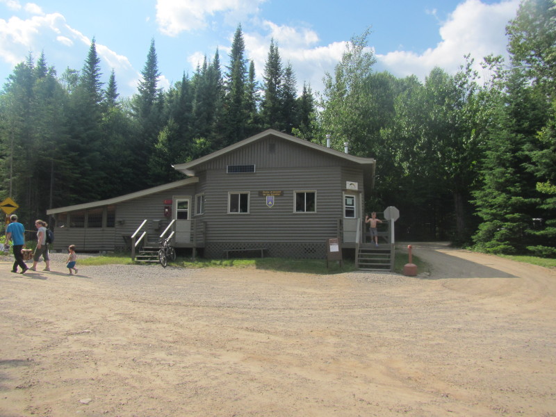 The Parc national du Mont-Tremblant office and kayak rental at Lac Escalier.
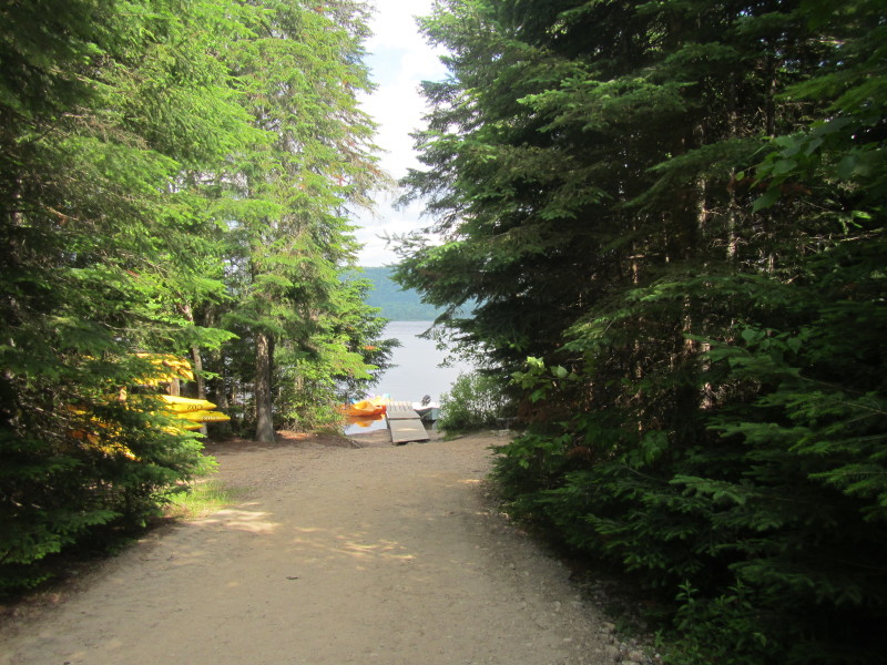 The path to the Lac Escalier beach.
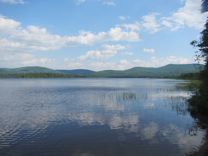
 Lac Escalier. Picture taken a day before my actual kayak trip.
 Now all pictures below taken on my actual kayak trip day when the skies are gray.
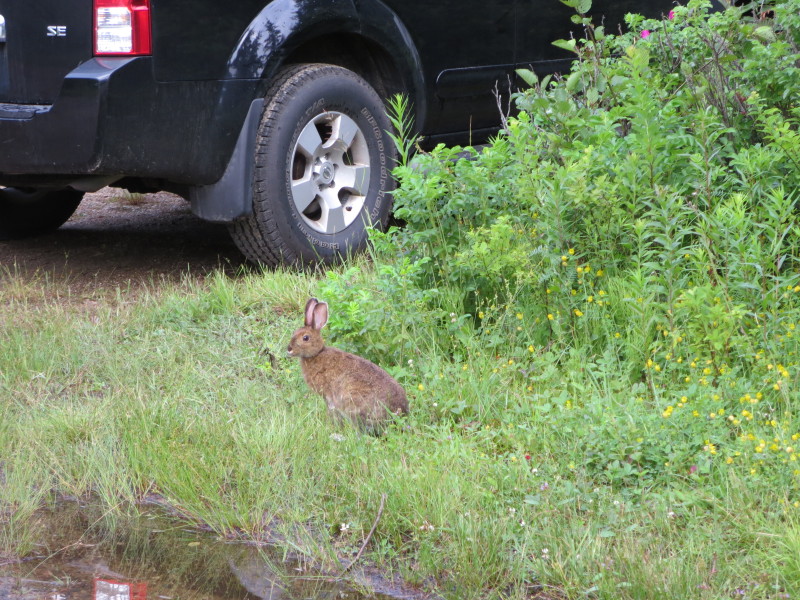
I drove past the kayak rental office and into the camp ground parking lot. A rabbit at the banks of Lac Escalier. 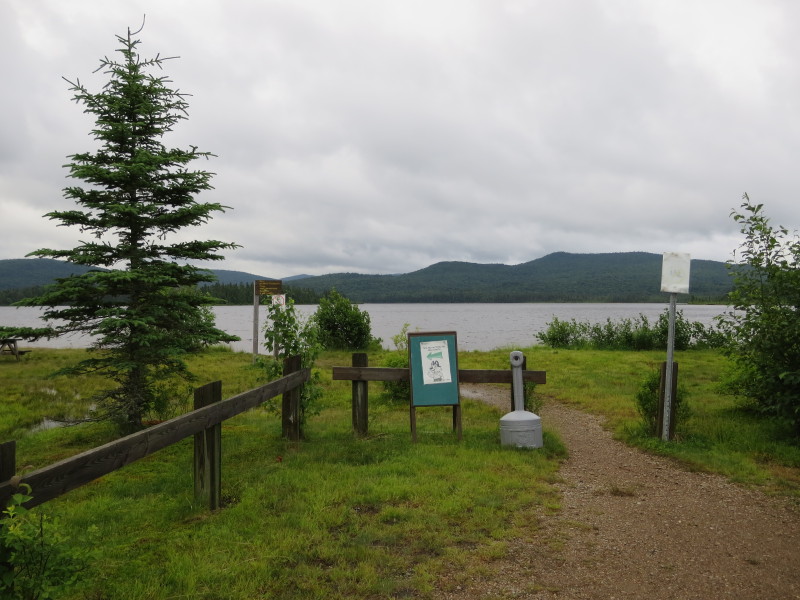 From the campgrounds parking lot, the path to the Lac Escalier put in.
 I actually unloaded my kayak some 200 feet to the west of the parking lot when
I saw this good launching site right next to the road.
I actually unloaded my kayak some 200 feet to the west of the parking lot when
I saw this good launching site right next to the road.
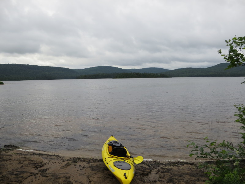
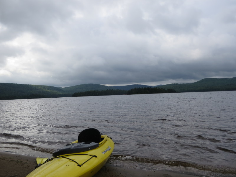
 The Boston Kayaker just launched on Lac Escalier.
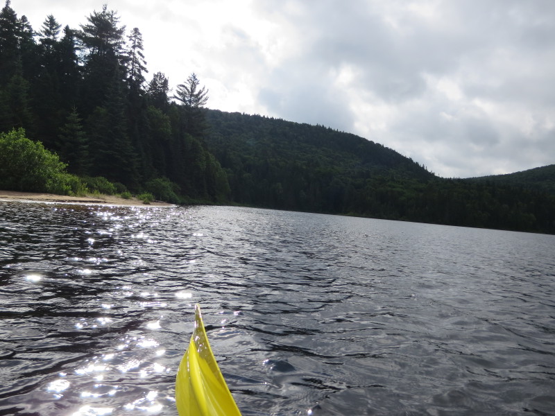
It was early before 8am. 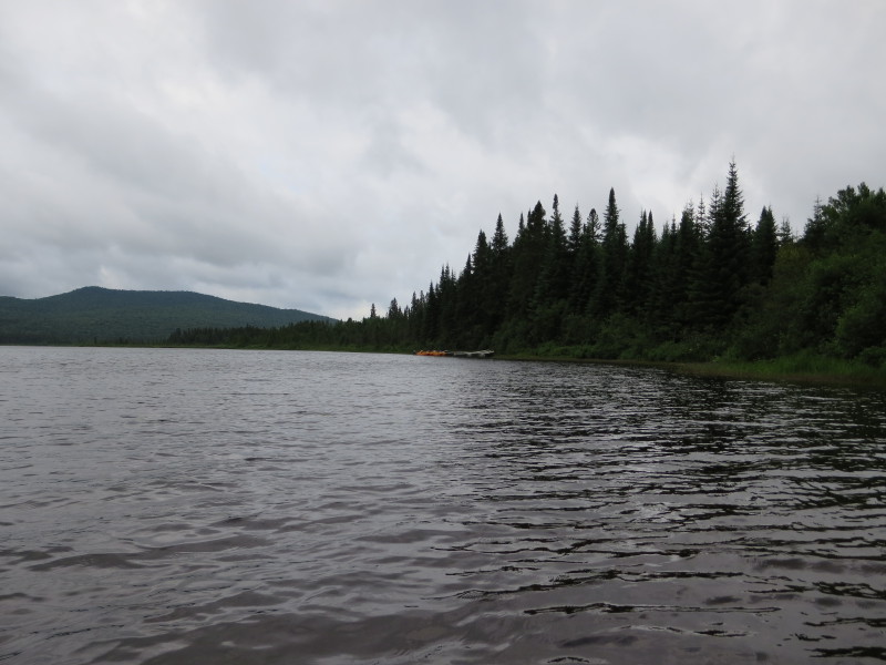 Looking to my right is the Lac Escalier beach area.
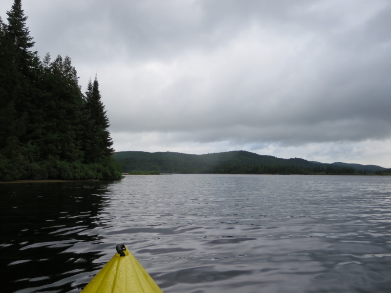
 Paddling to my left, will circle Lac Escalier counter-clockwise keeping the shore to my left.
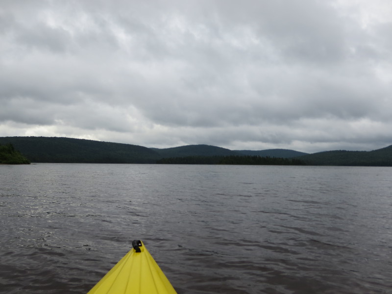
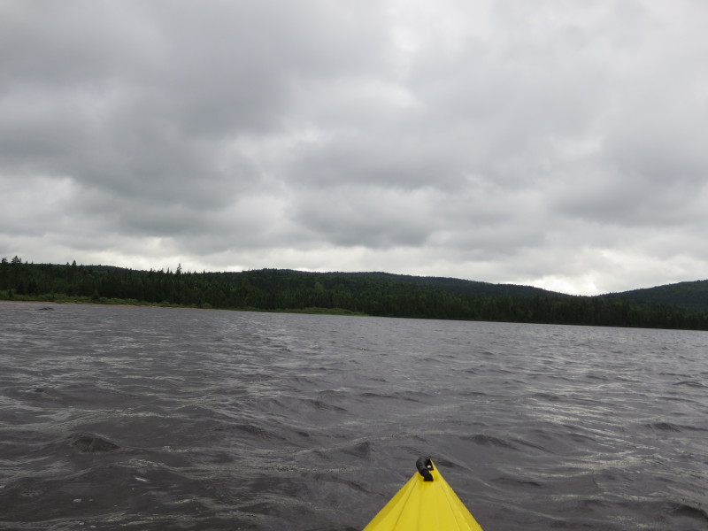
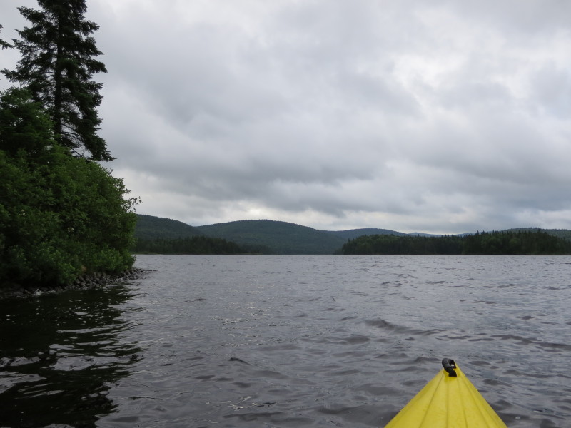
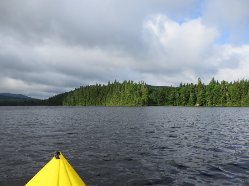
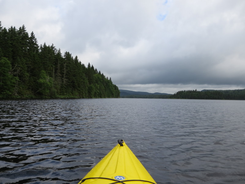
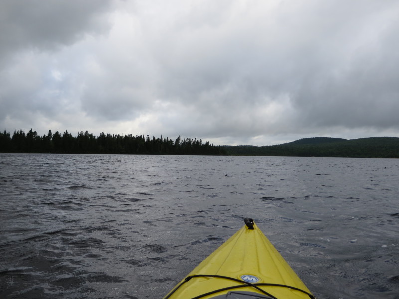
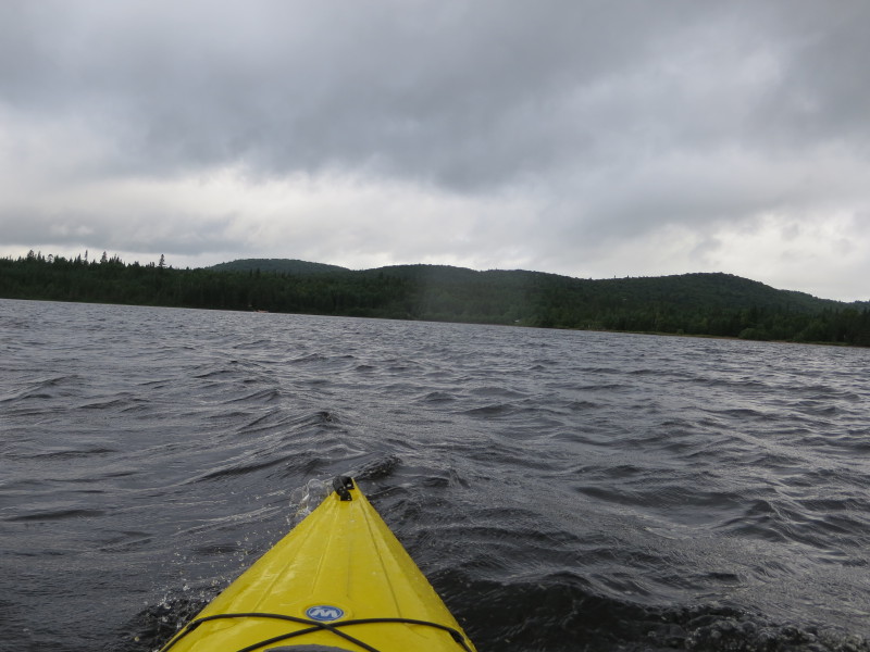
 It is windy day and small waves are forming on Lac Escalier.
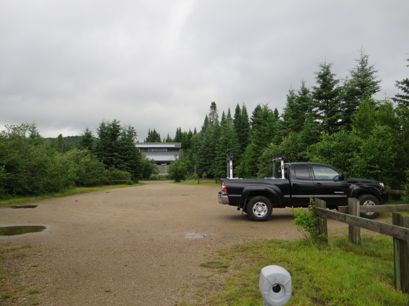
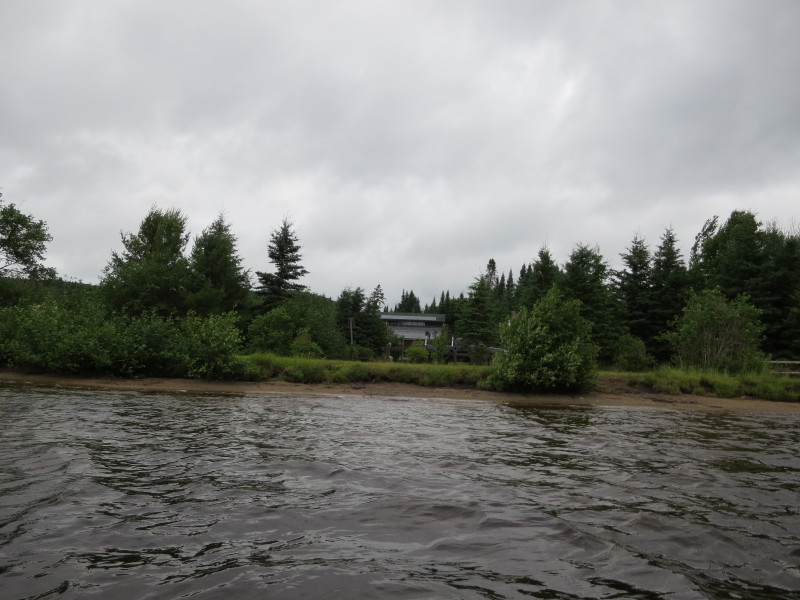 My black pick-up parked. In the background is this building structure at
the camp grounds area and parking lot.
My black pick-up parked. In the background is this building structure at
the camp grounds area and parking lot.
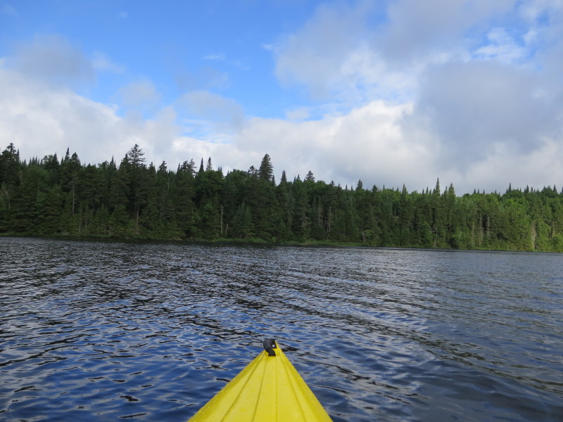
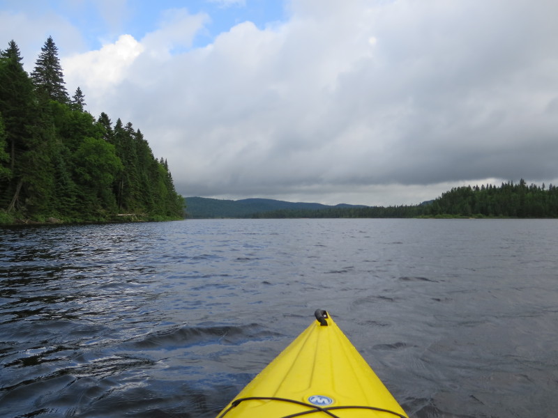
 Continuing westward paddle.
 I will paddle straight ahead and not hug the cove shoreline to my left.
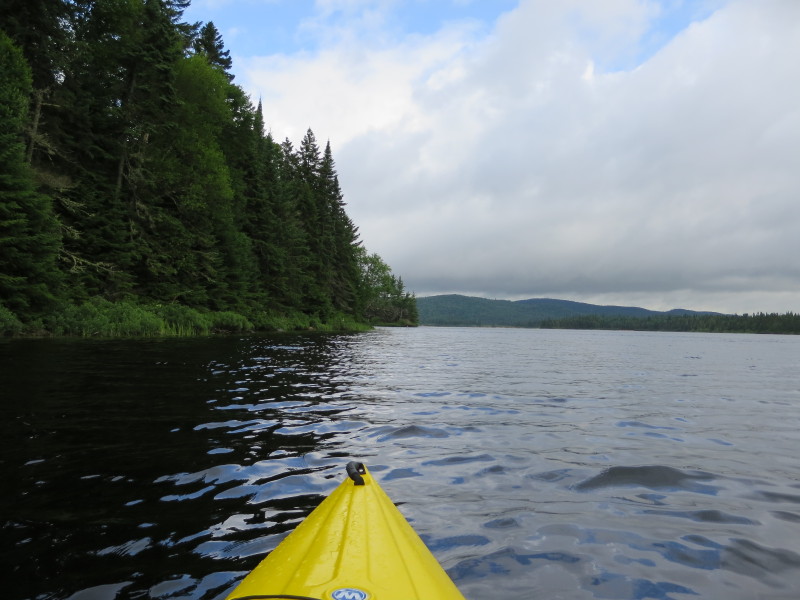
 Glancing to my left, beautiful Lac Escalier shore line.
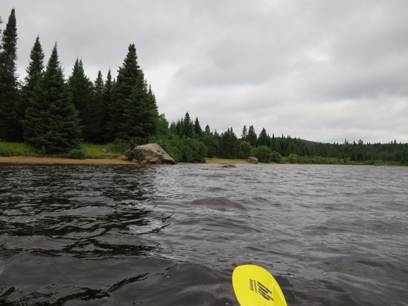
 Getting close to the eastern shore.
 Now paddling in a southerly direction and will keep close to the shore on my left.
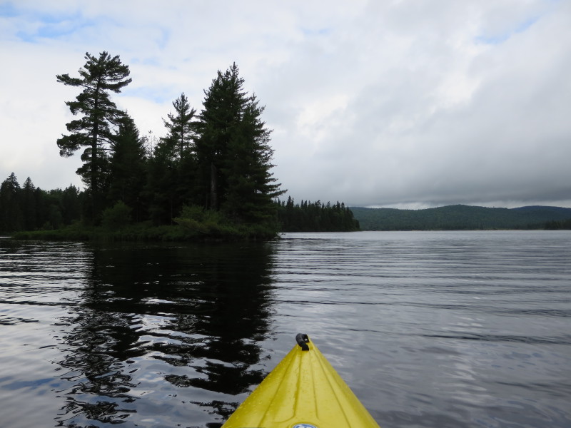
 Approaching the tip of this peninsula on my left.
 On the left is the tip of the peninsula.
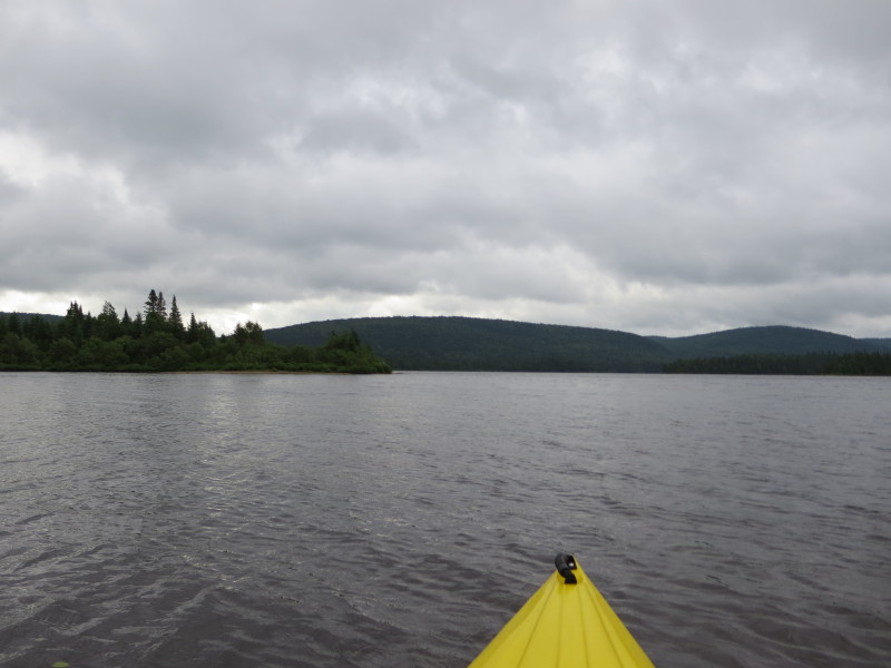
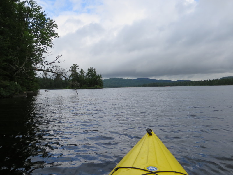
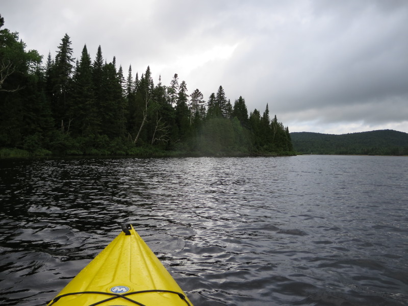
 Just past the peninsula is this cove to my left.
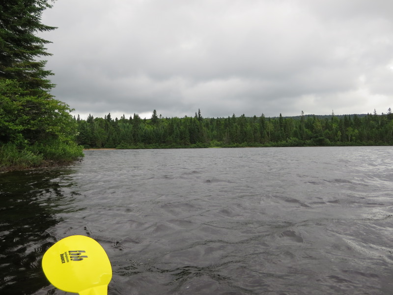
 Will paddle in a straight ahead and skip the cove to my left.
 Close to the shore again on my left.
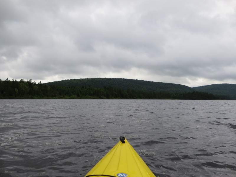
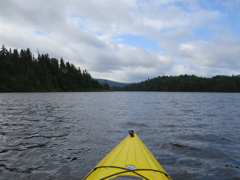
 Continuing my south easterly direction.
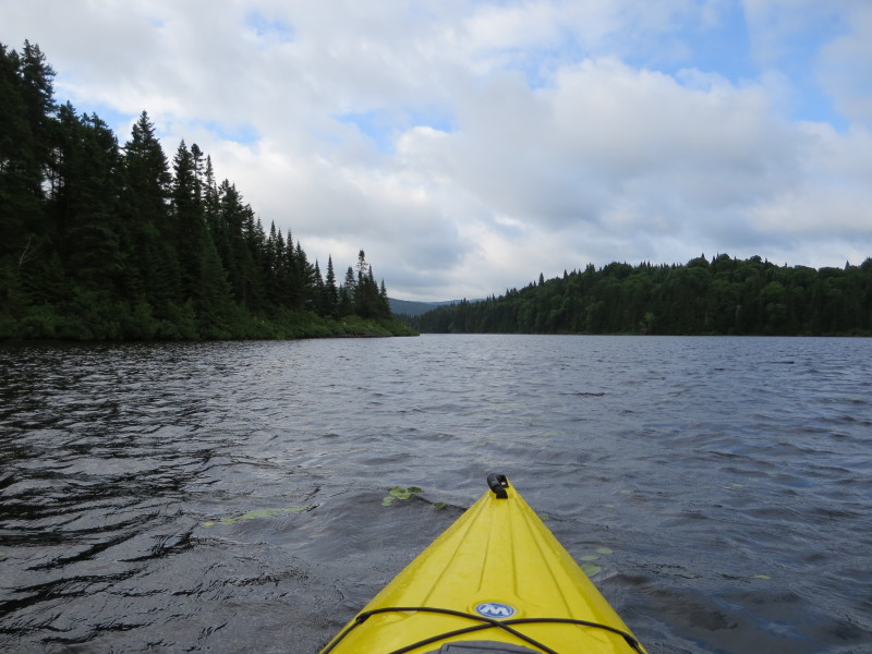
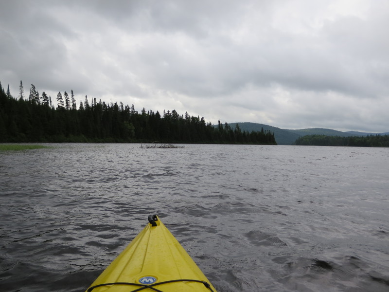
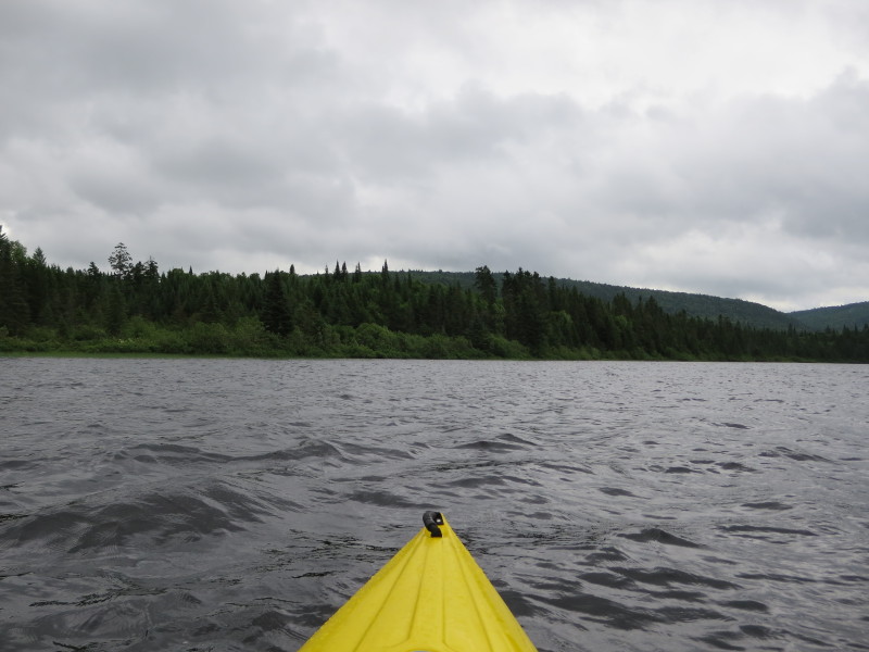
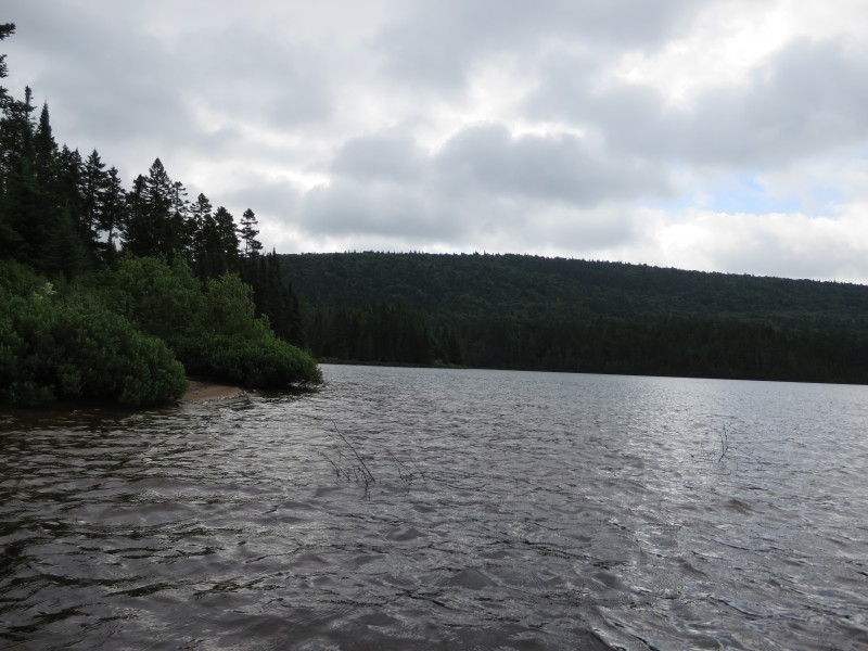
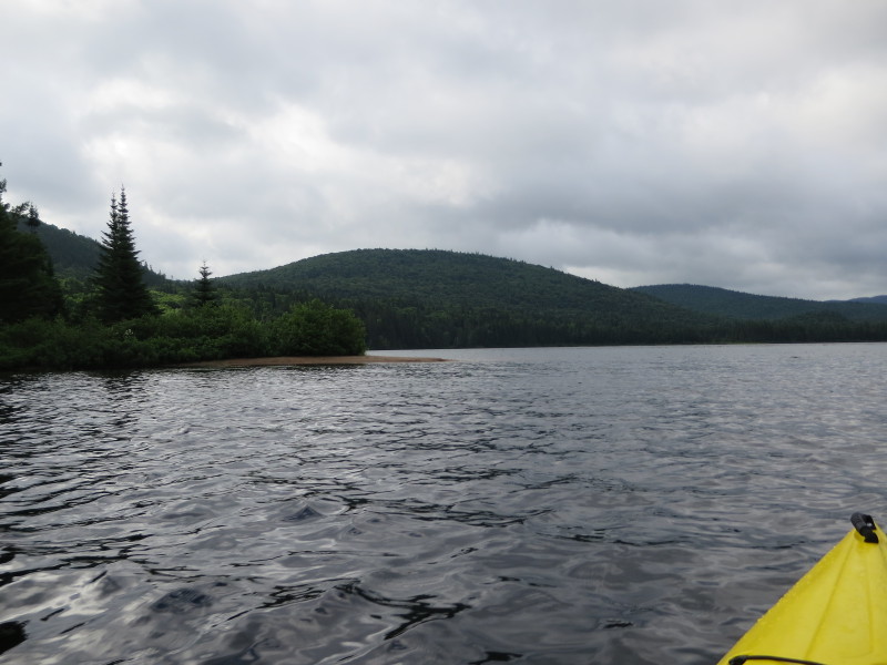
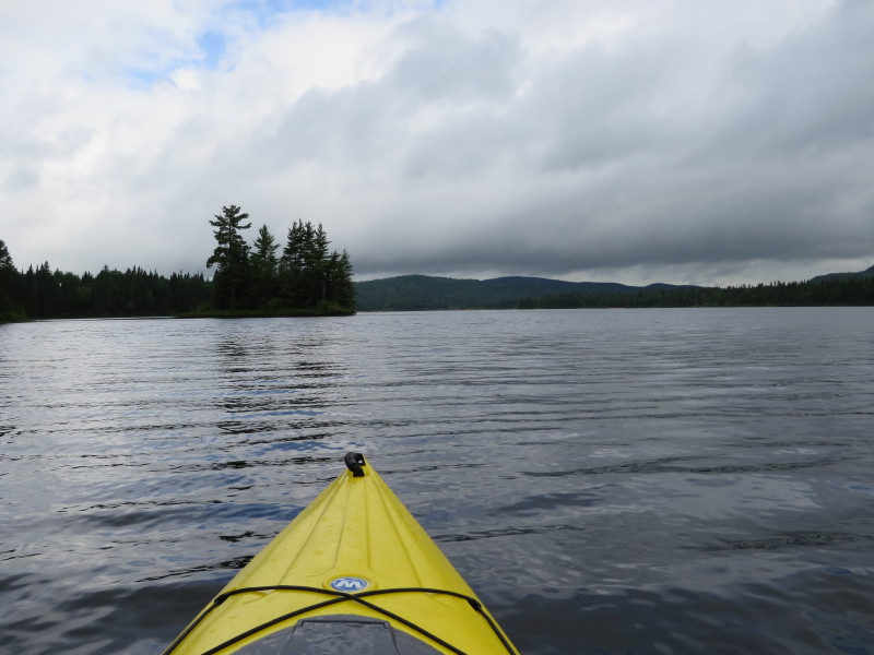
 On the left is another peninsula and marks the narrow passage to the south east arm of Lac Escalier.
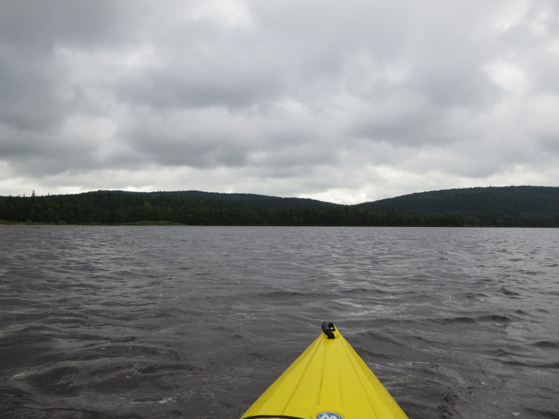
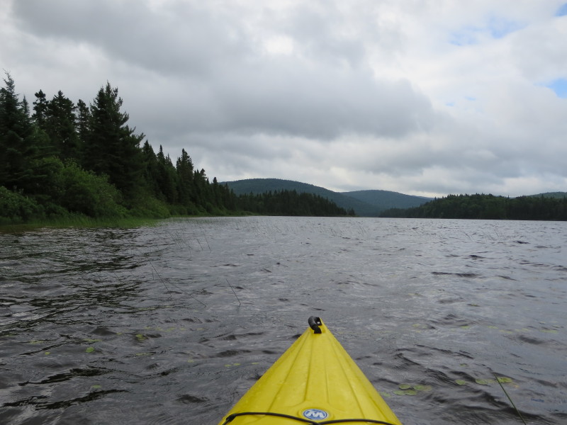
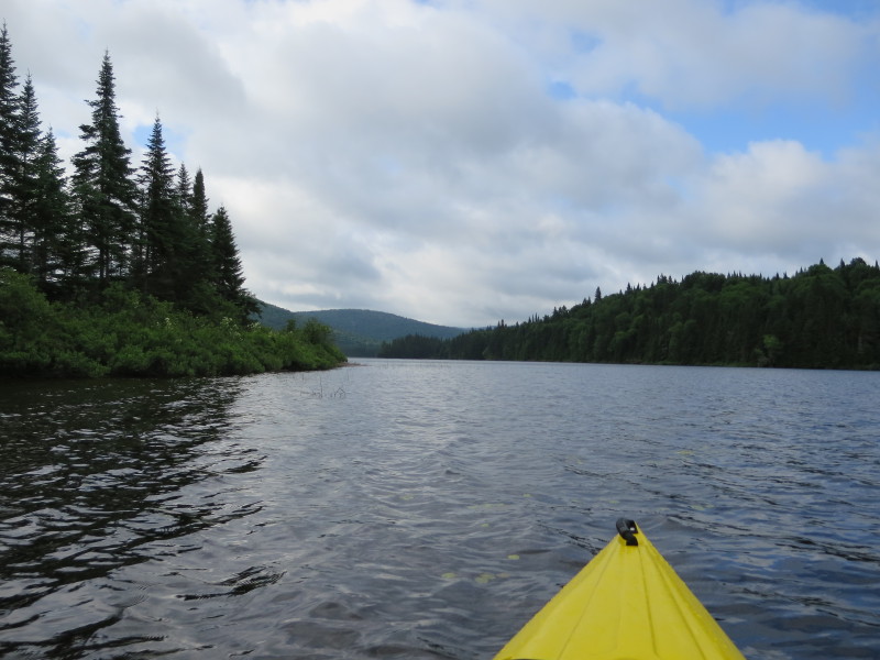
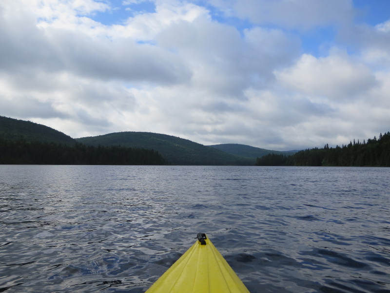
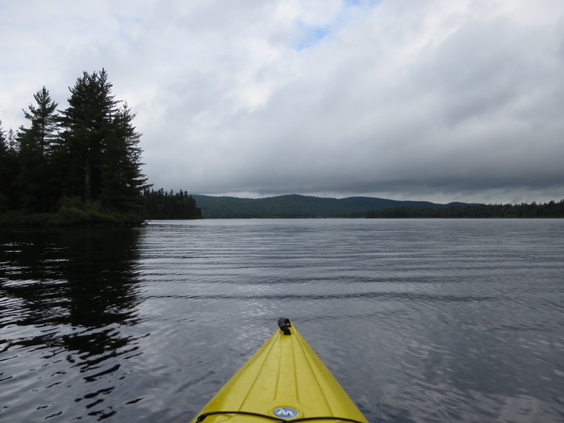
 I am now looking at the south easterly section of Lac Escalier.
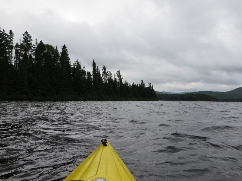
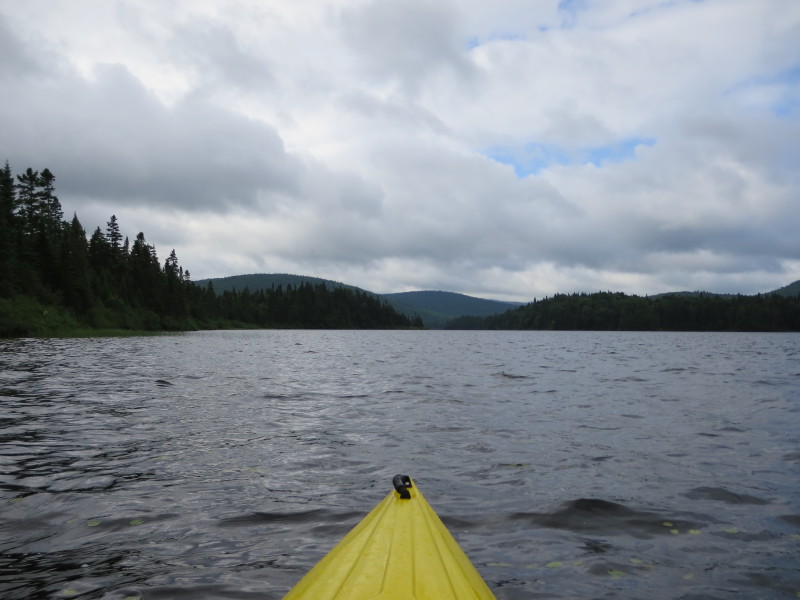
 Looking to my left, the lake is suddenly wider on both sides.
 Continuing my south easterly paddle.
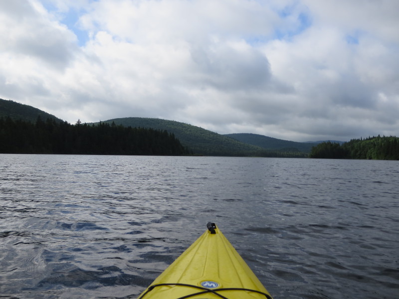
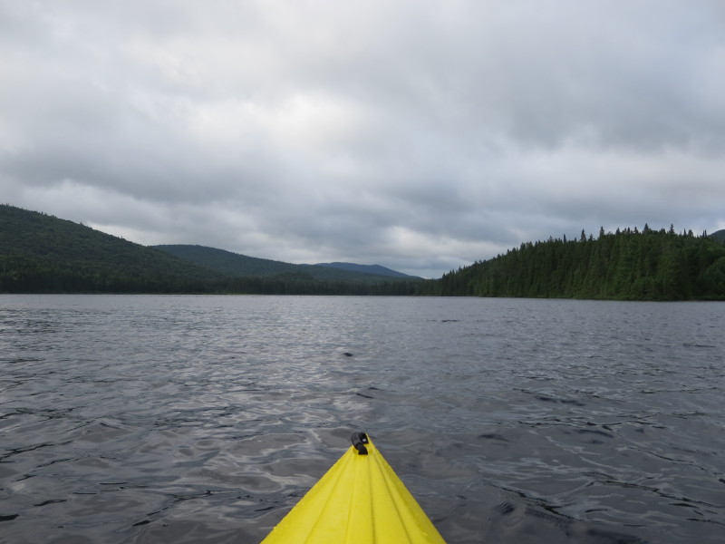
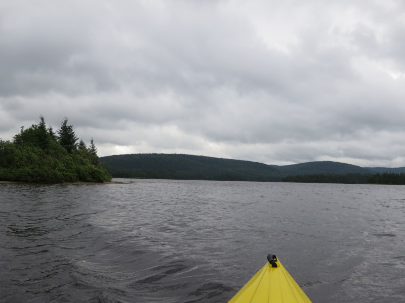
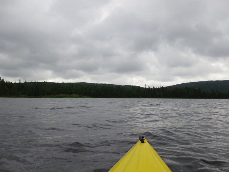
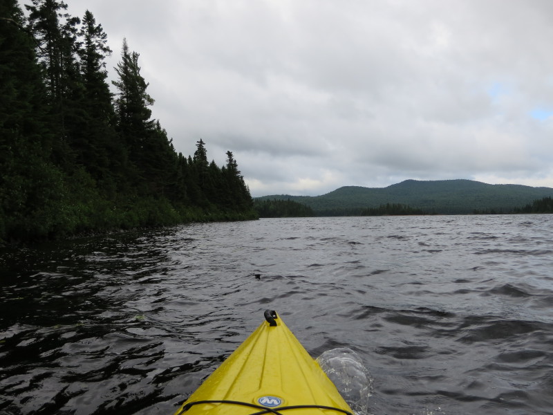
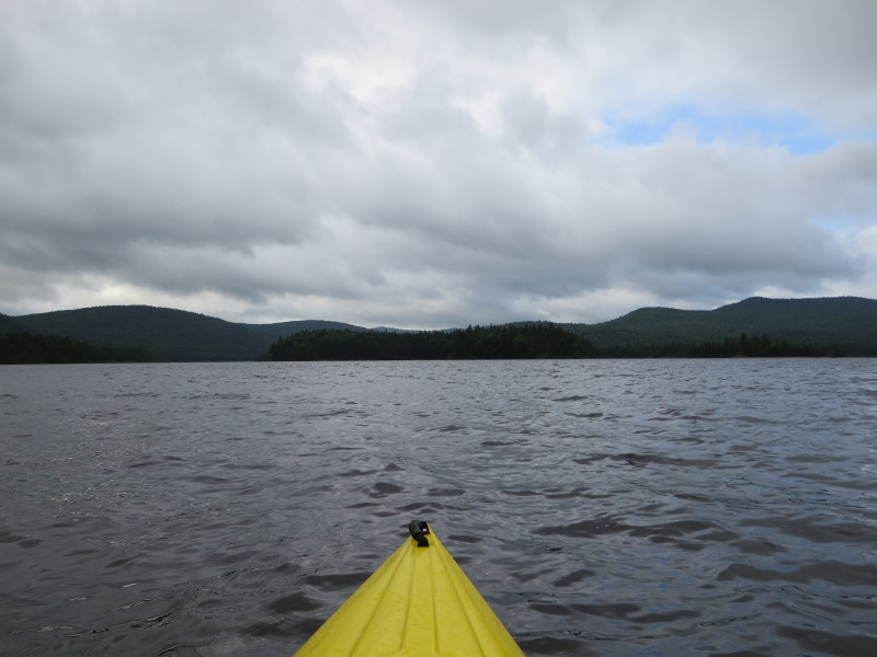
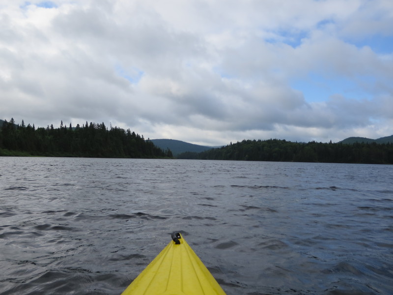
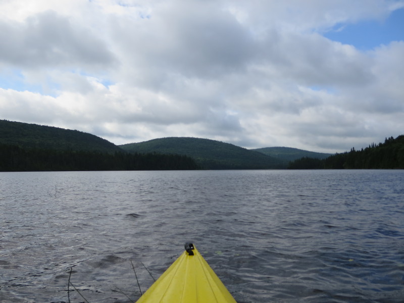
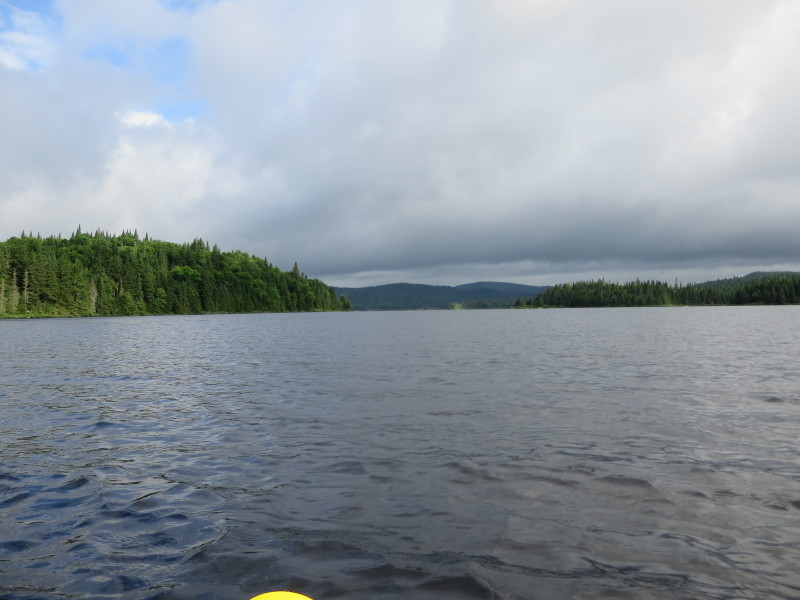
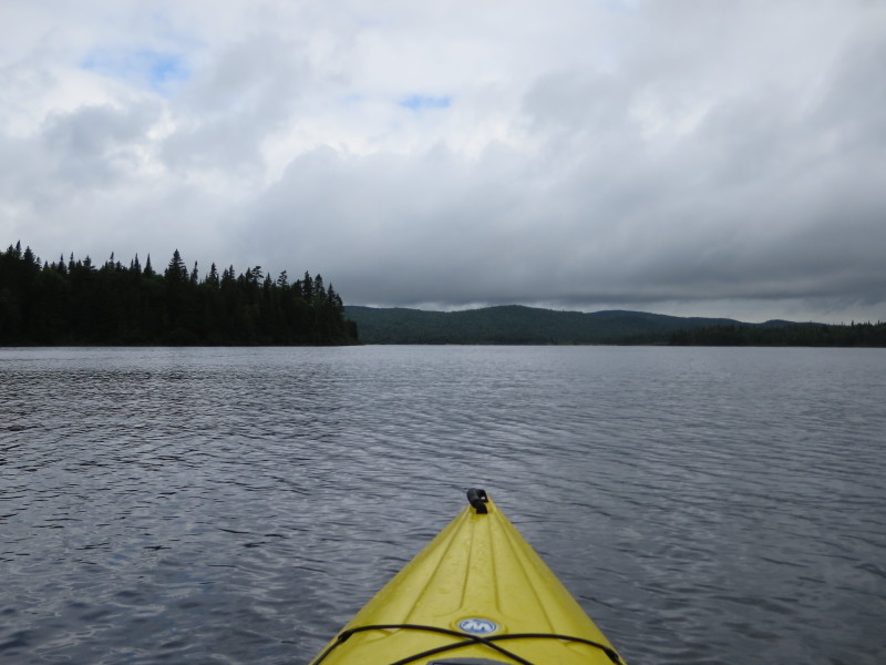
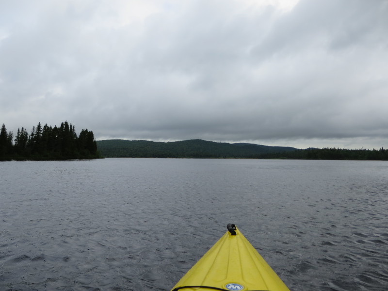
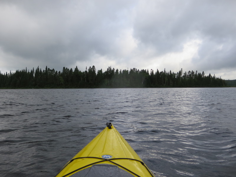
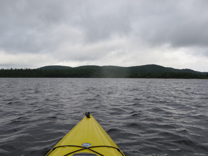
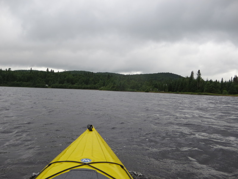
 Some clouds are lifting. I can see from here the south easterly end of Lac Escalier.
 I am now veering right and paddle across the lake to the western shore.
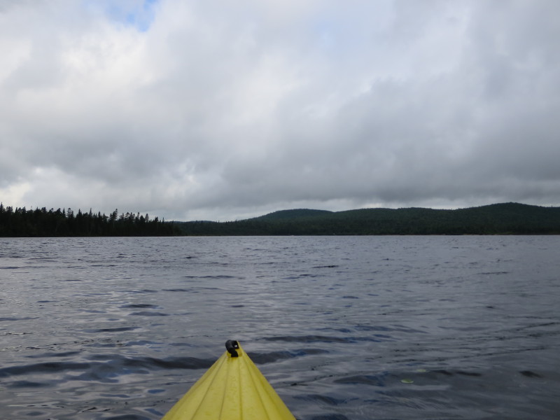
 While I am in the middle of Lac Escalier in the southern arm, looking to my right (north), the rest of Lac Escalier.
 Continuing my westerly paddle.
 Now approaching the shore, will now veer right (northerly) and keep the coast on my left.
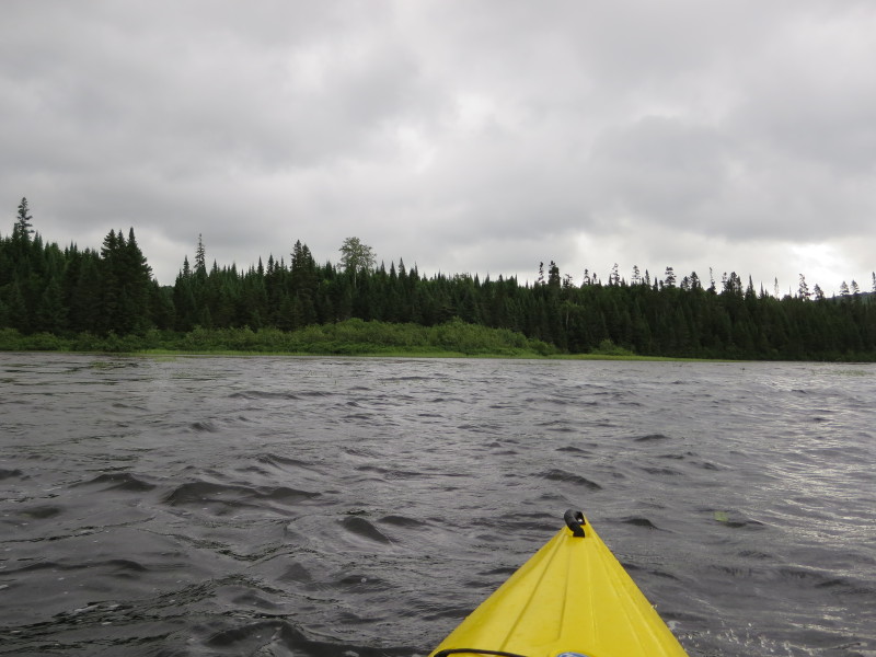
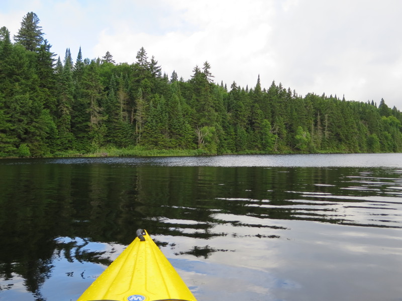
 Continuing my northerly direction.
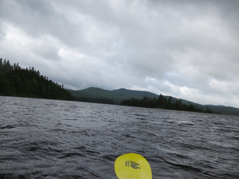
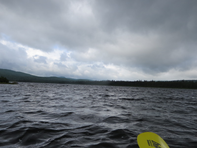
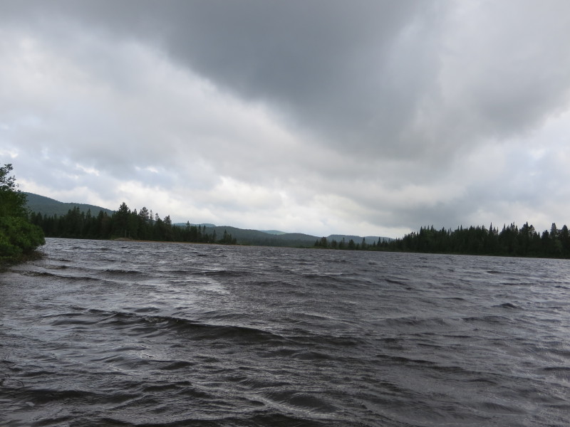 Dark skies moving. Winds kicking up small waves. Rain drops.
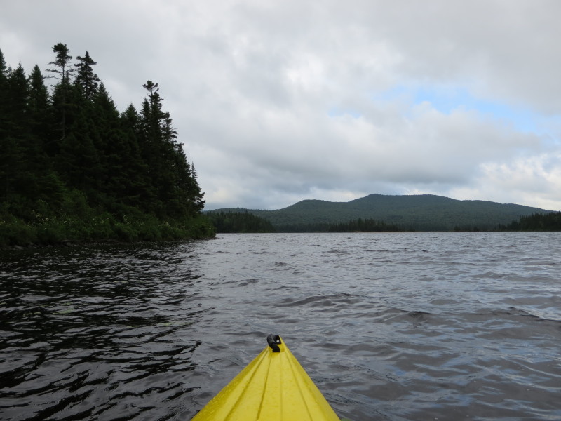
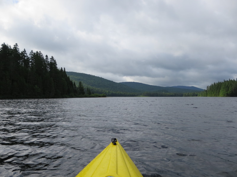
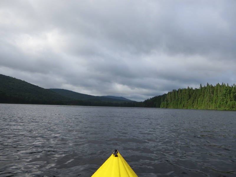
 I am now out of the south east cove of Lac Escalier.
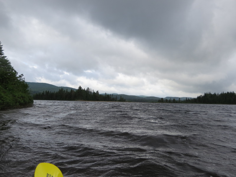
 With the darkening skies and rain drops, I decided not to paddle the southwest section of Lac Escalier and paddle back to my take out straight north.
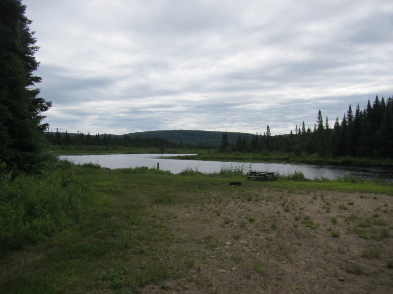
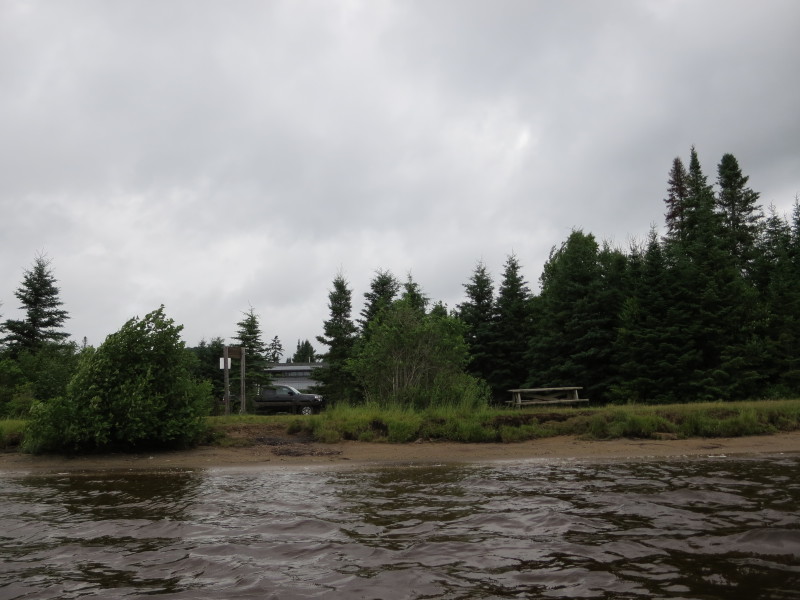
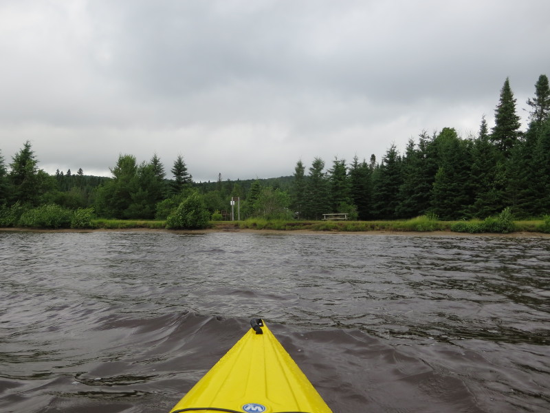
 Getting close to my take out spot. I can see the parking lot with the picnic bench.
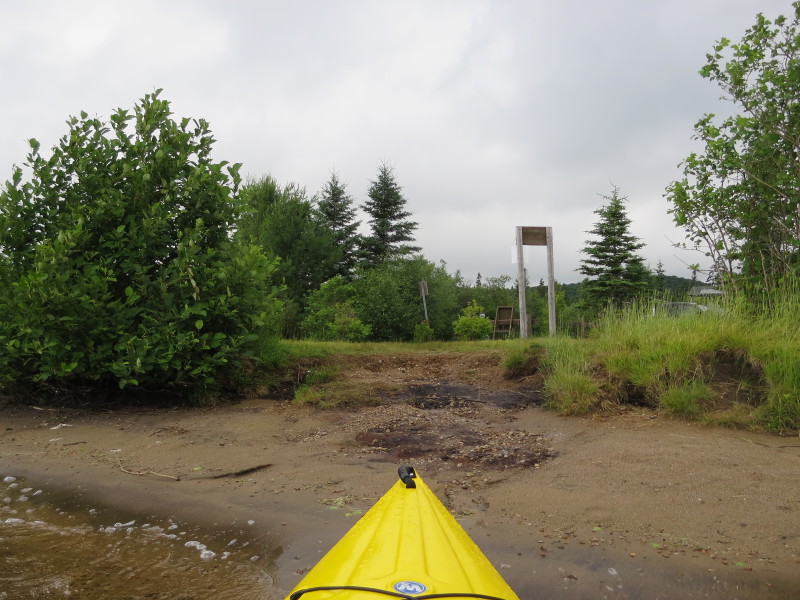 Landed.
|